22 Slides
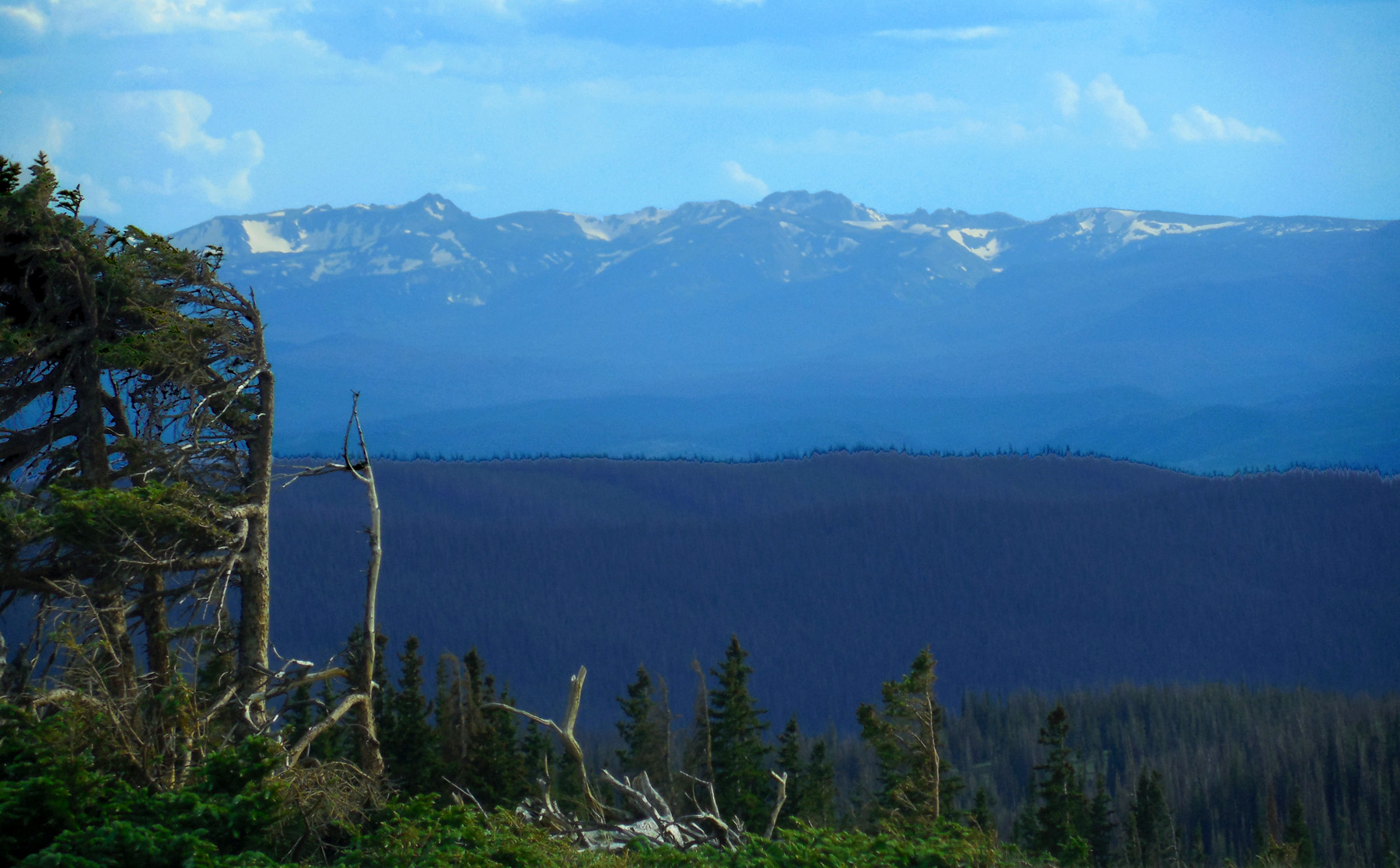
Snowy Range of the Medicine Bow Mountains
Road Index or use your browser "back" arrow or function 2 second cycle: please choose another user-controlled 5 seconds 10 seconds 30 seconds 1 minute
1 / 22
2 / 22
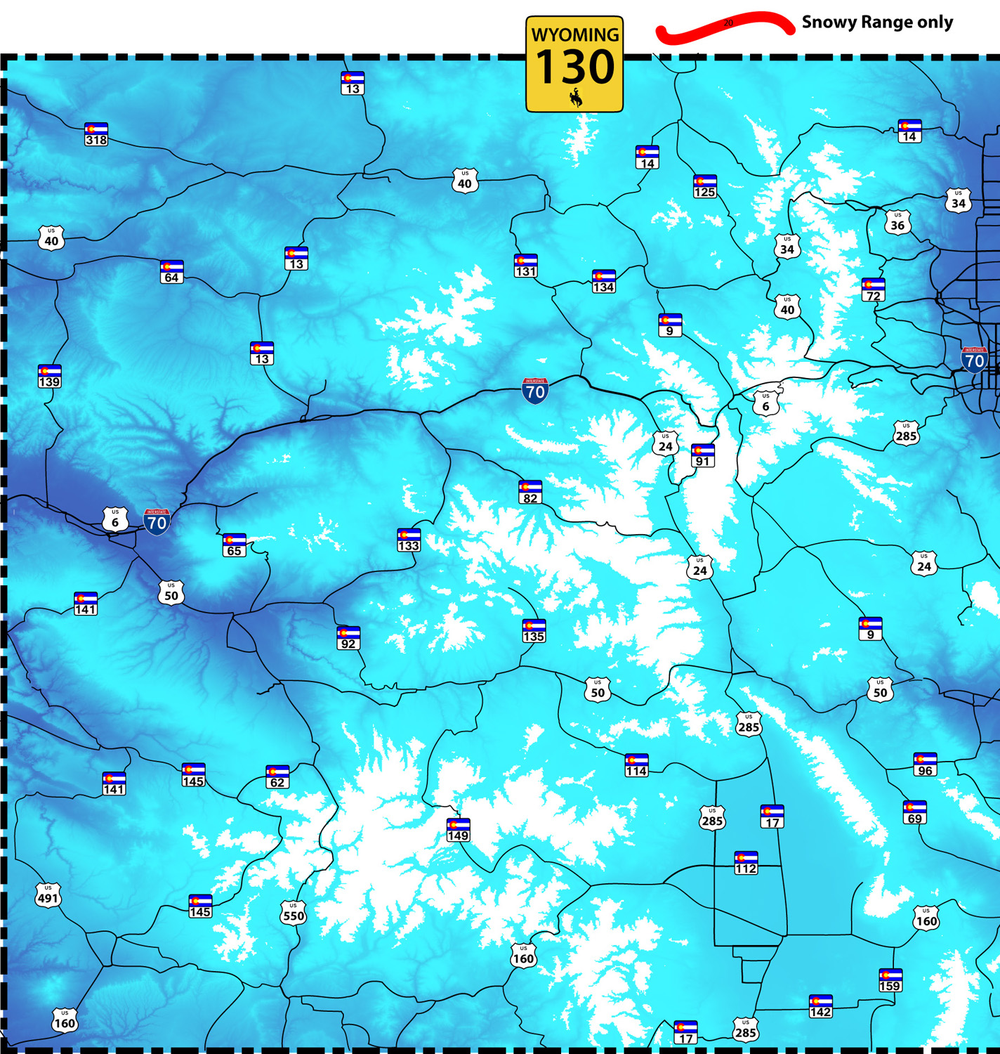
WY 130 West End
Exit 235, I 80 15 miles east of Rawlins
Exit 235, I 80 15 miles east of Rawlins
3 / 22
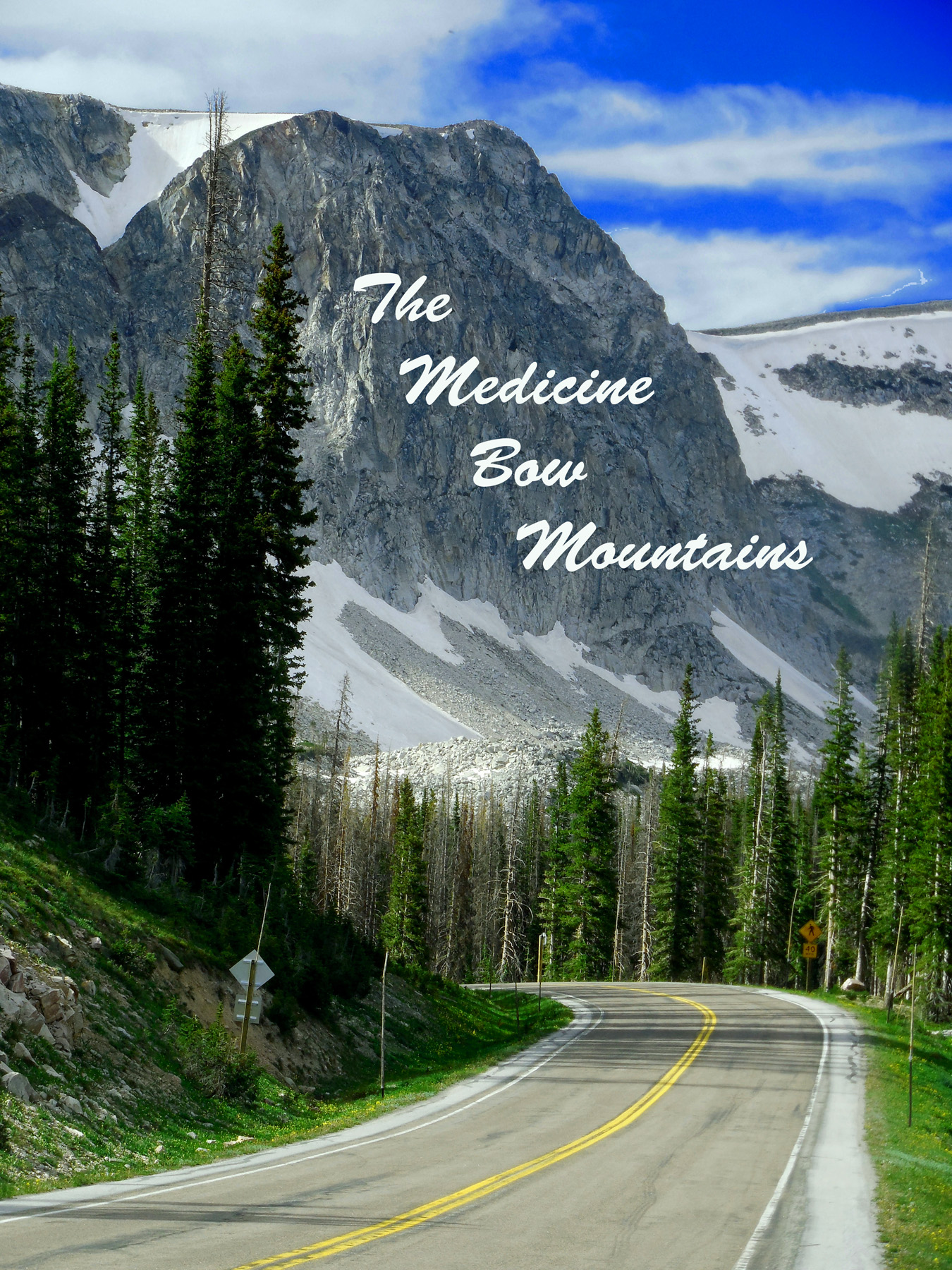
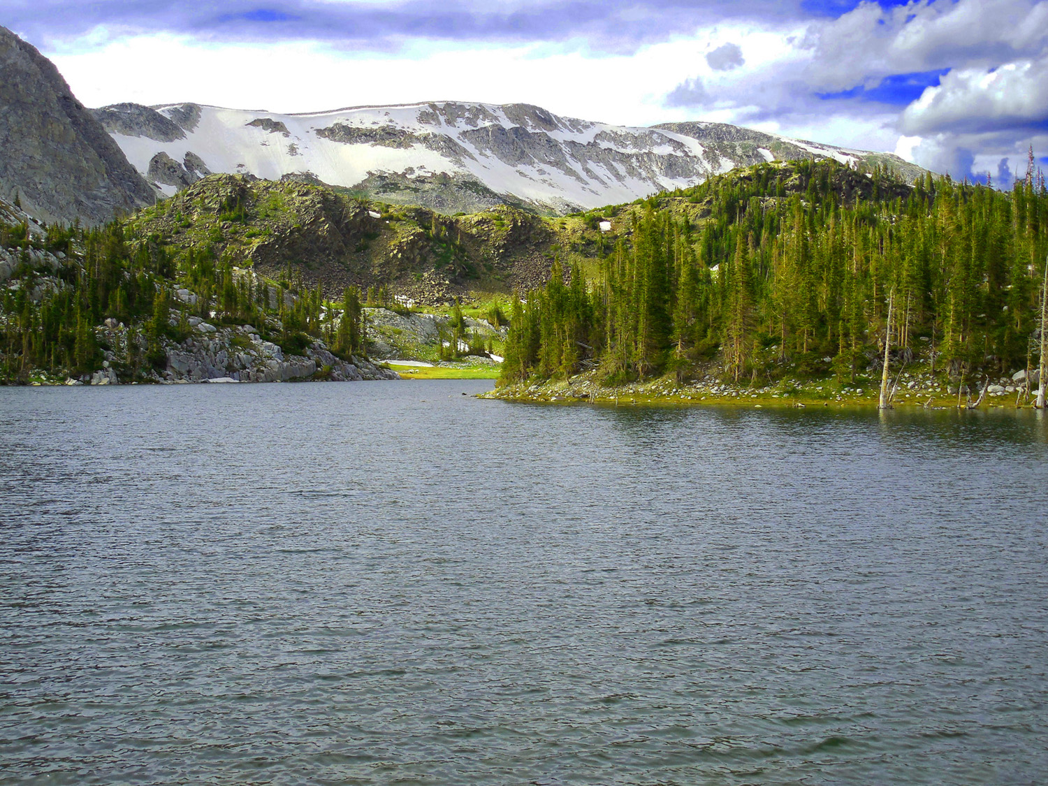
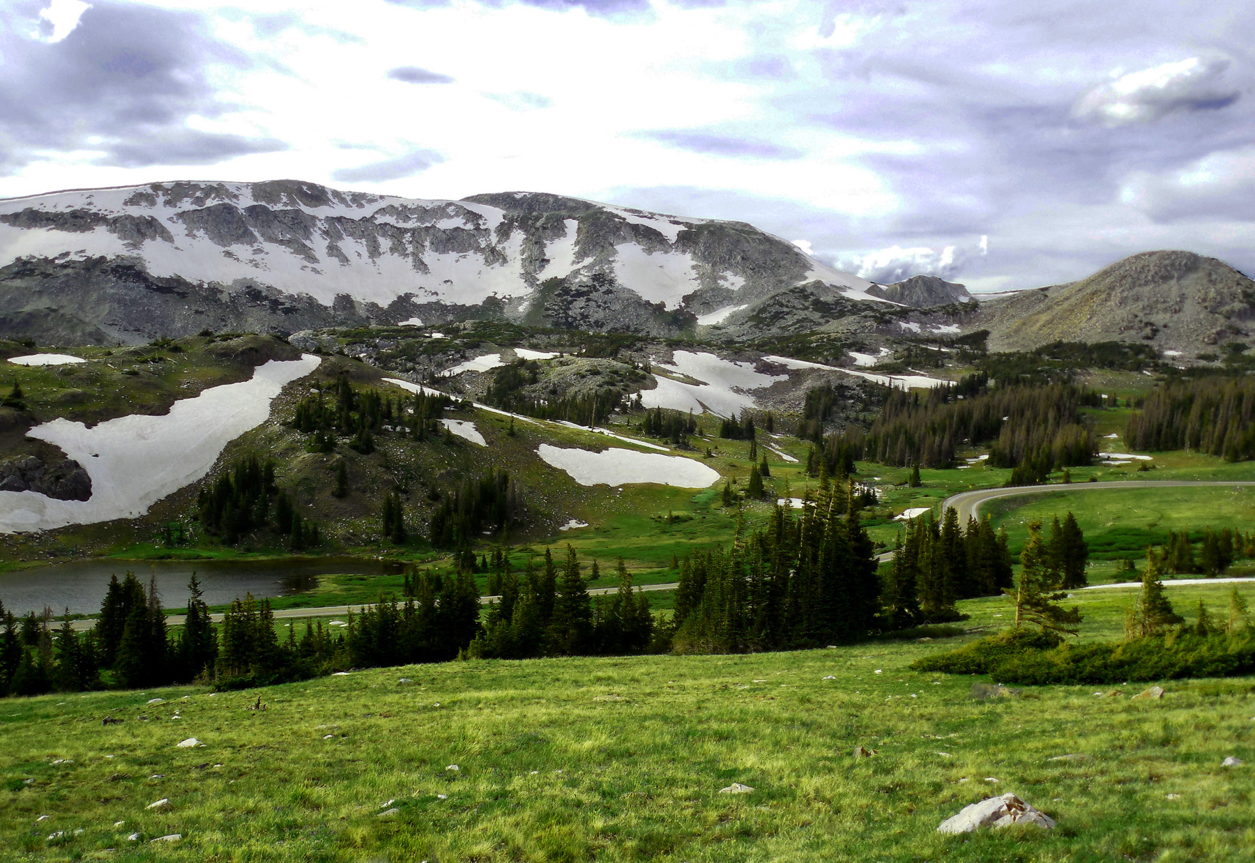
Snowy Range of the Medicine Bow Mountains
Jun 29 2013 - 3:48 pm
Jun 29 2013 - 3:48 pm
4 / 22
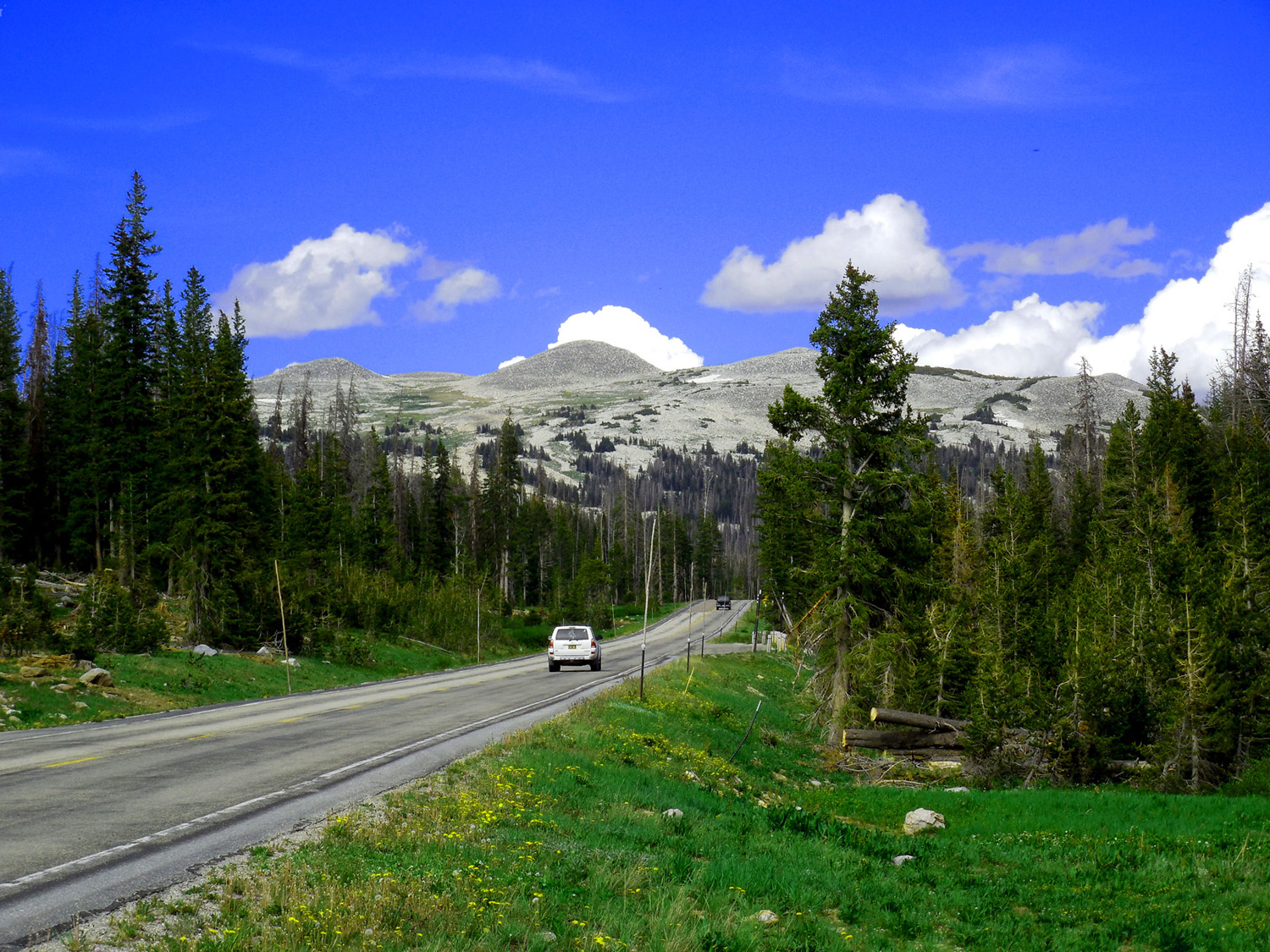
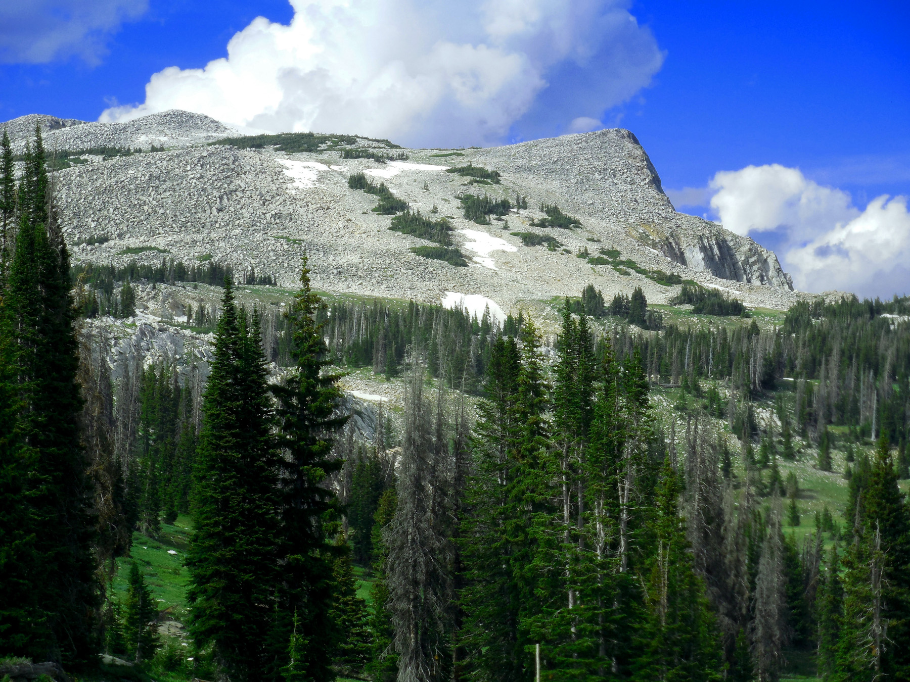
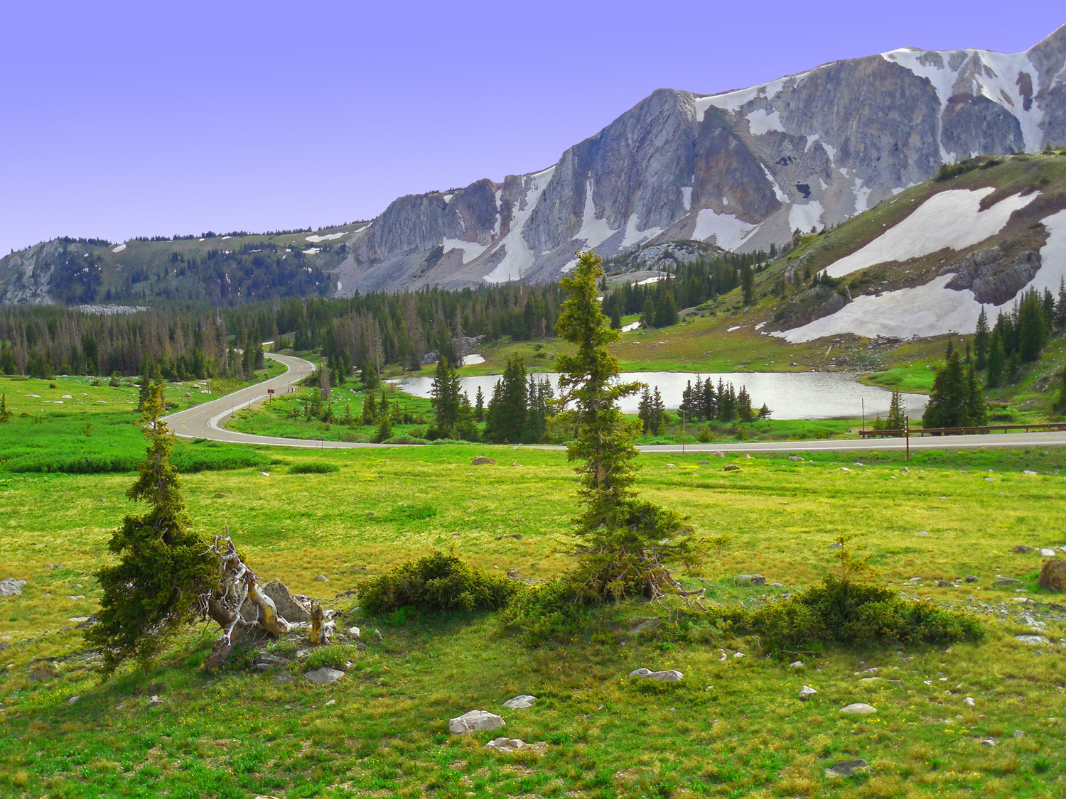
NW Side: Gentle rounded peaks
Jun 29 2013 - 3:49 pm
Jun 29 2013 - 3:49 pm
5 / 22
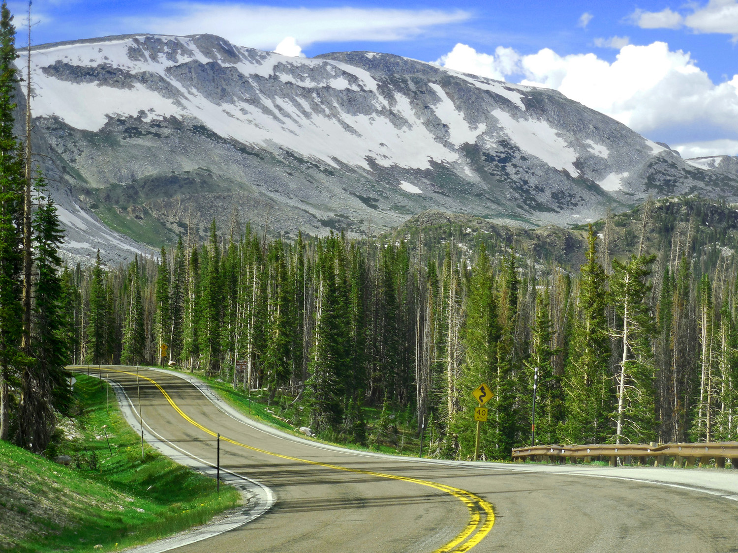
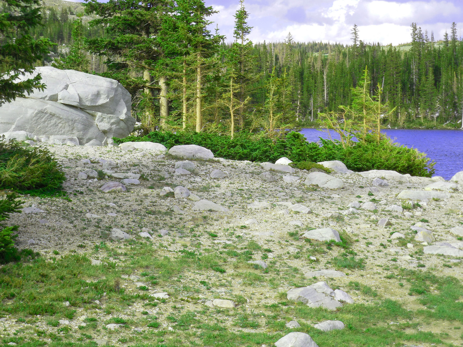
Covered with quartzite rubble
Jun 29 2013 - 3:57 pm
Jun 29 2013 - 3:57 pm
6 / 22
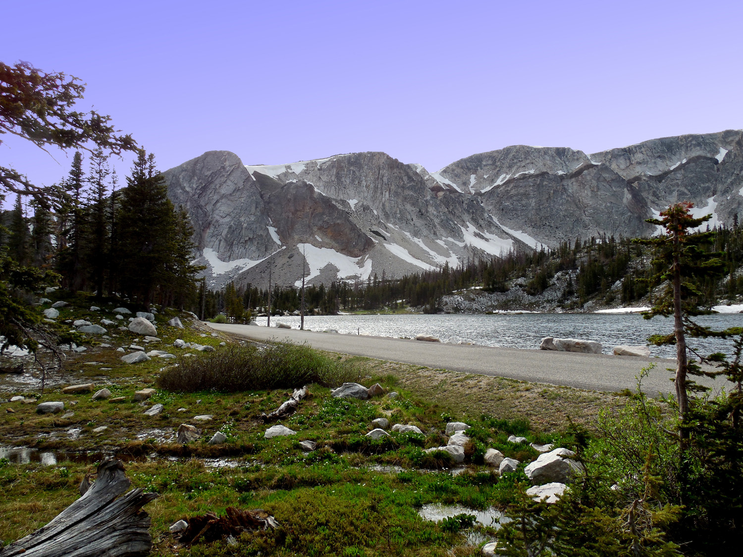
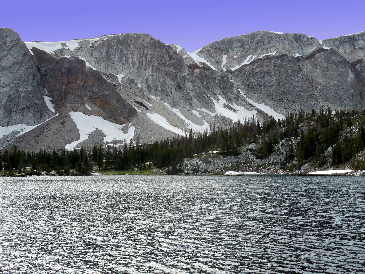
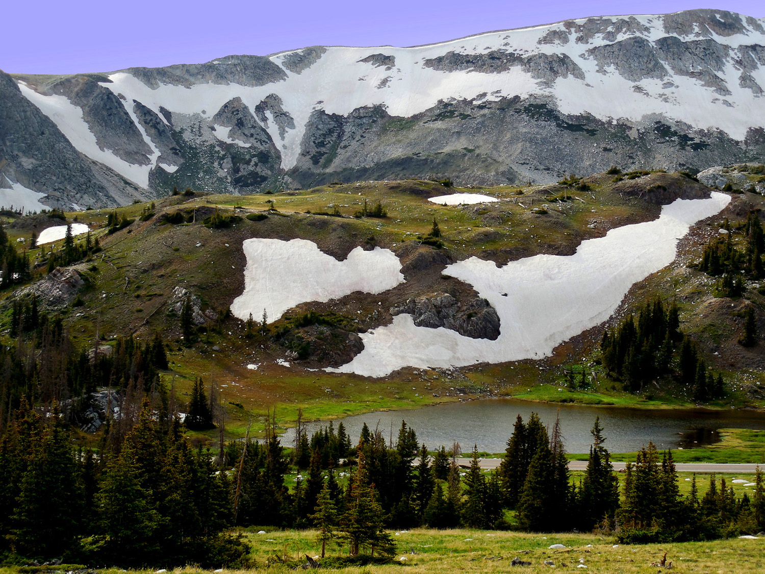
SE Side: scoured cliffs made by ancient glaciers, scour along plunging axis of uplift
Jun 29 2013 - 4:08 pm
Jun 29 2013 - 4:08 pm
7 / 22
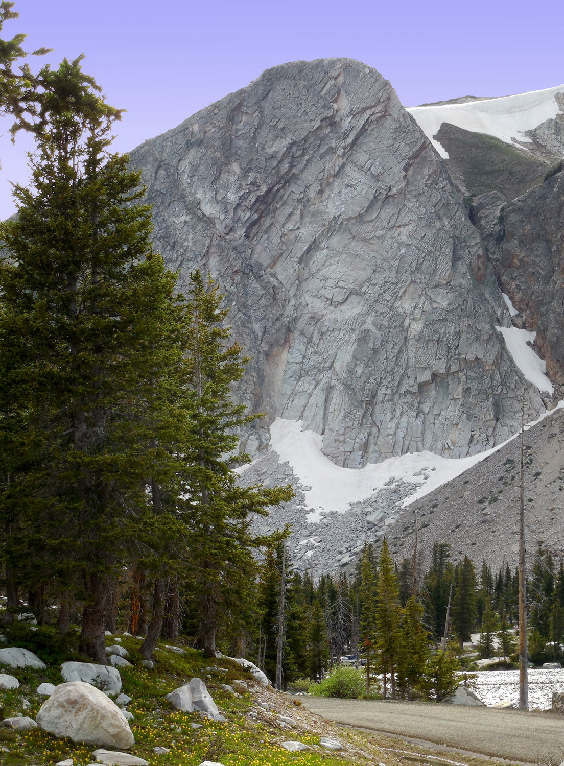
Medicine Bow Peak (≥12,000')
Jun 29 2013 - 4:09 pm
Jun 29 2013 - 4:09 pm
8 / 22
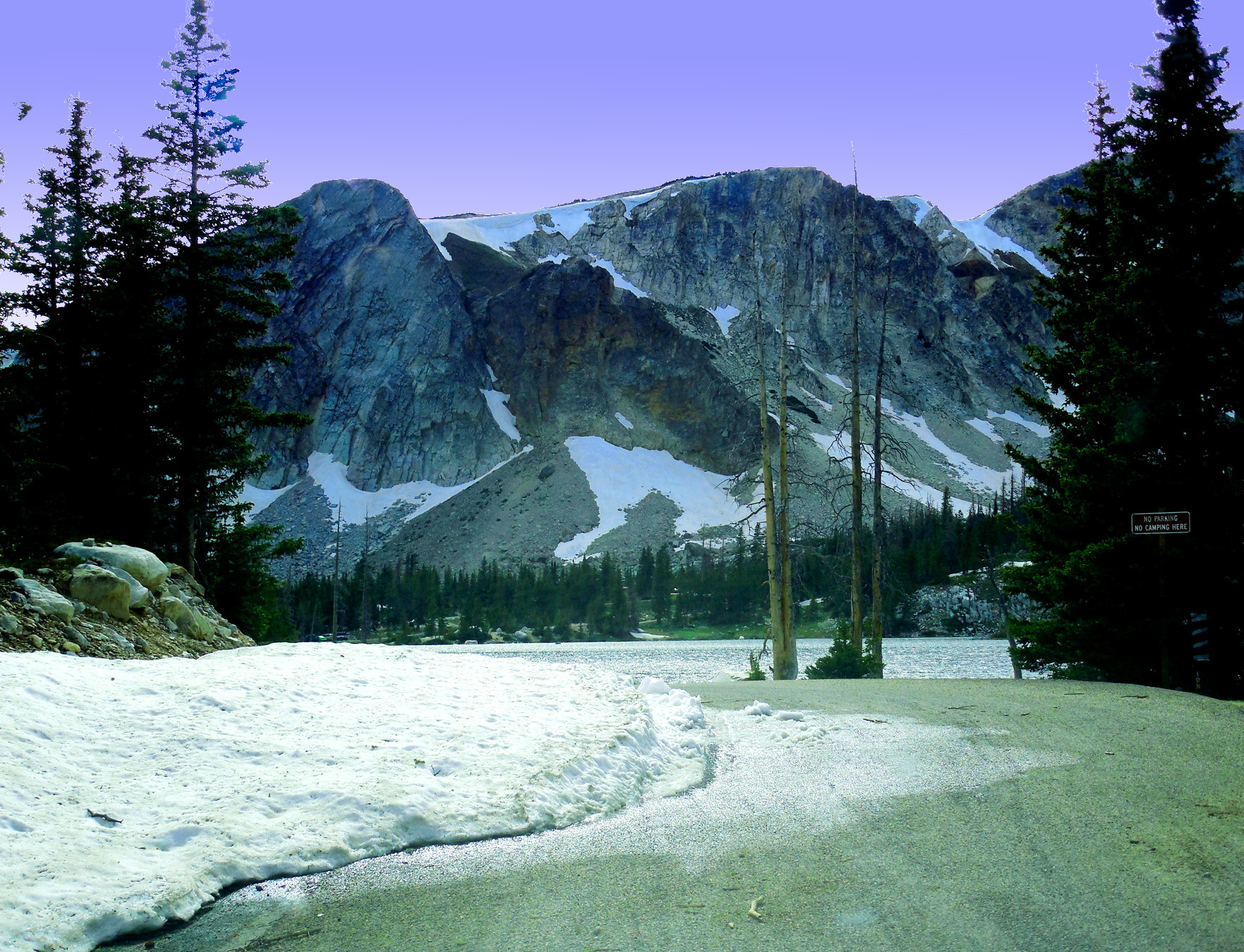
Lake Marie, last of a series of paternoster lakes from Snowy Range glaciers
Jun 29 2013 - 4:11 pm
Jun 29 2013 - 4:11 pm
9 / 22
Nearly the first car into the campground
Jun 29 2013 - 4:12 pm
Jun 29 2013 - 4:12 pm
10 / 22
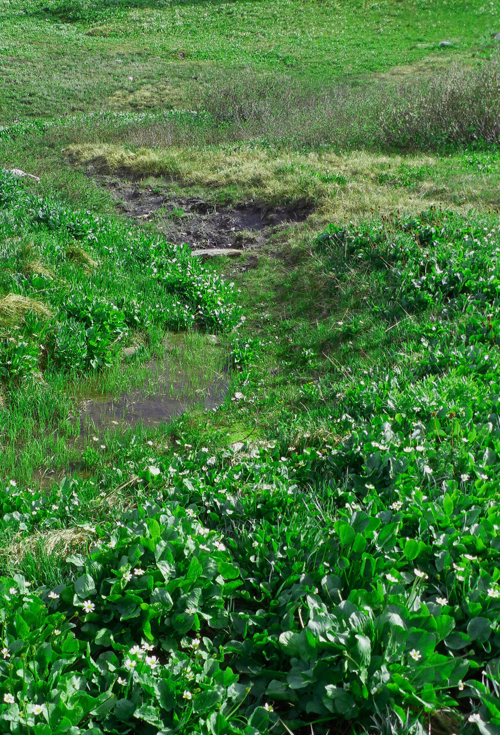
Marsh marigolds everywhere (first flower after freshly melted snow)
Jun 29 2013 - 4:12 pm
Jun 29 2013 - 4:12 pm
11 / 22
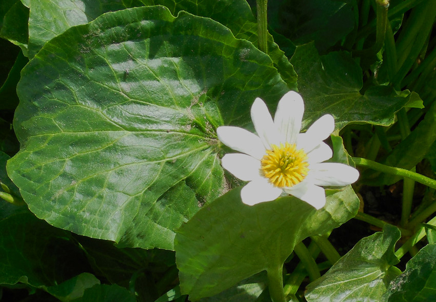
Close Up
Jun 29 2013 - 4:15 pm
Jun 29 2013 - 4:15 pm
12 / 22
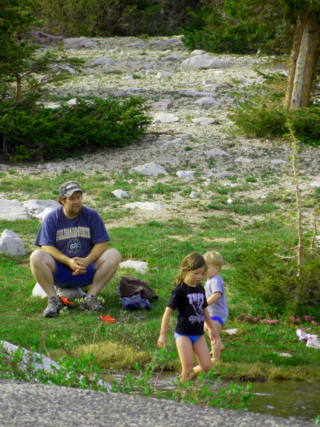
That water is COOOLLLLDDDDD
Jun 29 2013 - 4:14 pm
Jun 29 2013 - 4:14 pm
13 / 22
Rouche Montonnee (glacial landform)
Jun 29 2013 - 4:25 pm
Jun 29 2013 - 4:25 pm
14 / 22
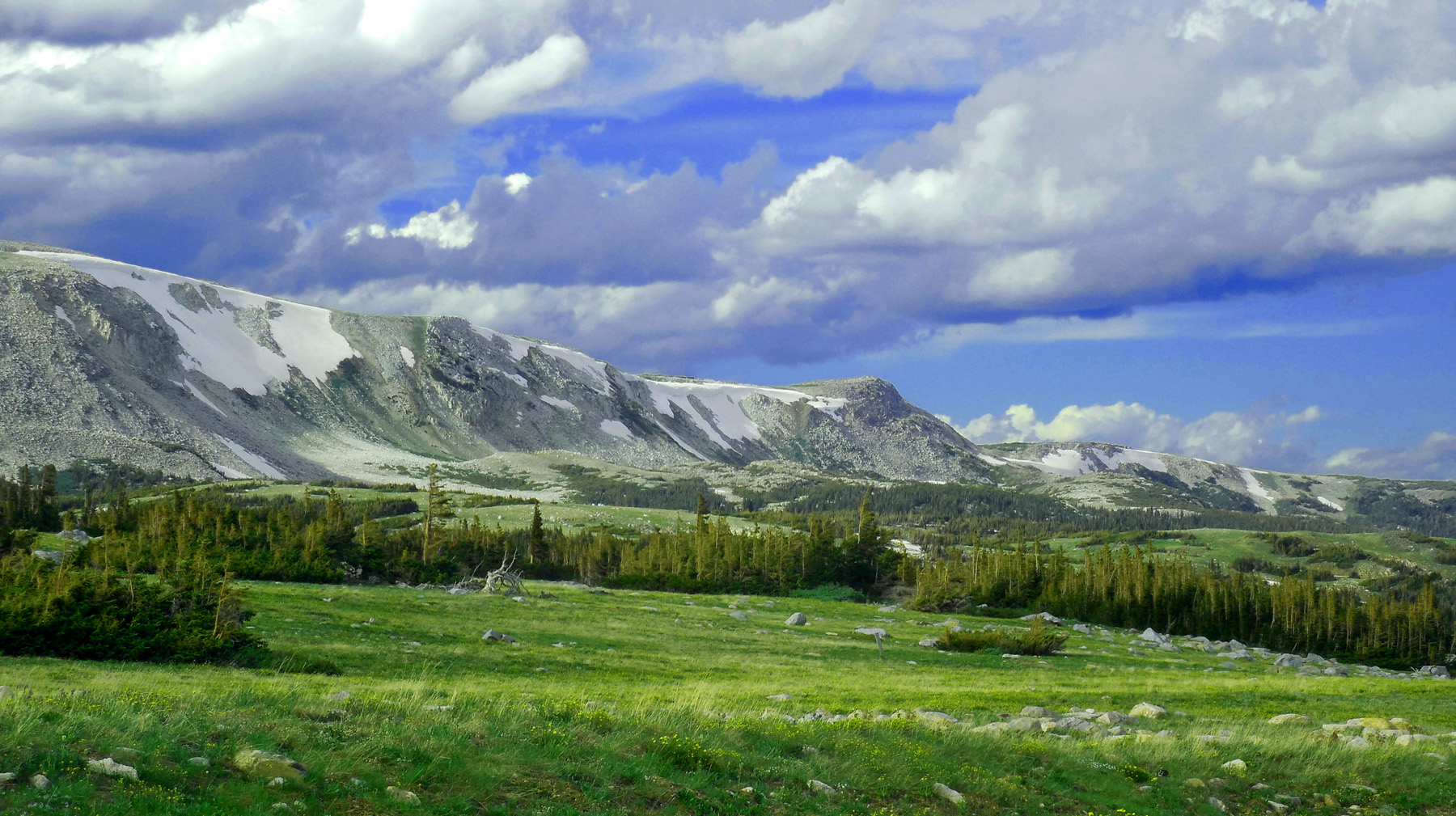
View to the left
Jun 29 2013 - 4:16 pm
Jun 29 2013 - 4:16 pm
15 / 22
White pre-Cambrian quartzite forms the core of the Snowy Range Uplift
Jun 29 2013 - 4:37 pm
Jun 29 2013 - 4:37 pm
16 / 22
Mirror Lake beneath Medicine Bow Peak
Jun 29 2013 - 4:44 pm
Jun 29 2013 - 4:44 pm
17 / 22
Rouche montonnee at the head of Mirror Lake
Jun 29 2013 - 4:48 pm
Jun 29 2013 - 4:48 pm
18 / 22
This rouche montonnee is the divide between North Platte and Laramie Rivers
Jun 29 2013 - 4:48 pm
Jun 29 2013 - 4:48 pm
19 / 22
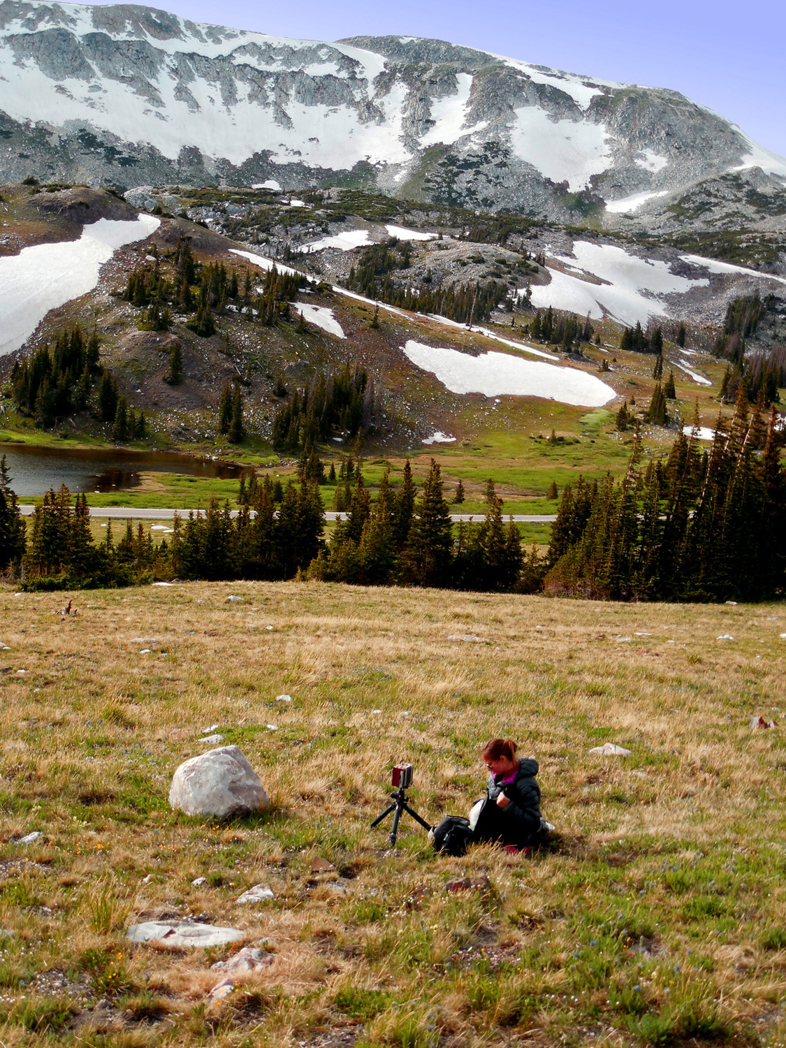
Serious photographer
Jun 29 2013 - 4:48 pm
Jun 29 2013 - 4:48 pm
20 / 22
Browns Peak (11,722') and glacial headwaters of the Laramie River
Jun 29 2013 - 4:53 pm
Jun 29 2013 - 4:53 pm
21 / 22
Mt. Zirkel (12,180') highest peak in the Park Range
Jun 29 2013 - 4:54 pm
Jun 29 2013 - 4:54 pm
22 / 22
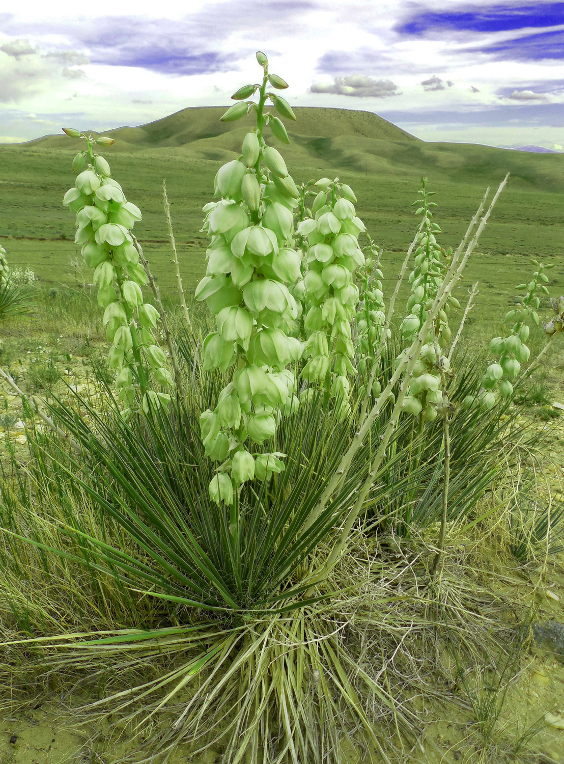
Desert all the way to Laramie (I 80 Exit 311 Laramie)
Jun 29 2013 - 5:49 pm
Jun 29 2013 - 5:49 pm