63 Slides
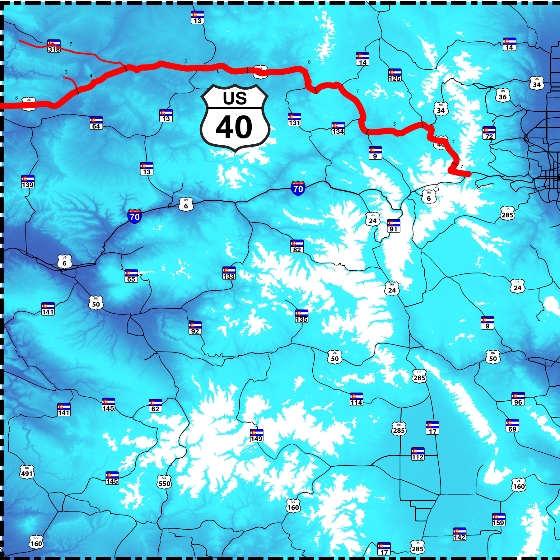
Berthoud Pass, Winter Park, Granby, Colorado River, Kremmling, Steamboat Springs, Yampa River, Craig, Dinosaur
Road Index or use your browser "back" arrow or function 5 second cycle: please choose another user-controlled 2 seconds 10 seconds 30 seconds 1 minute
1 / 63
2 / 63
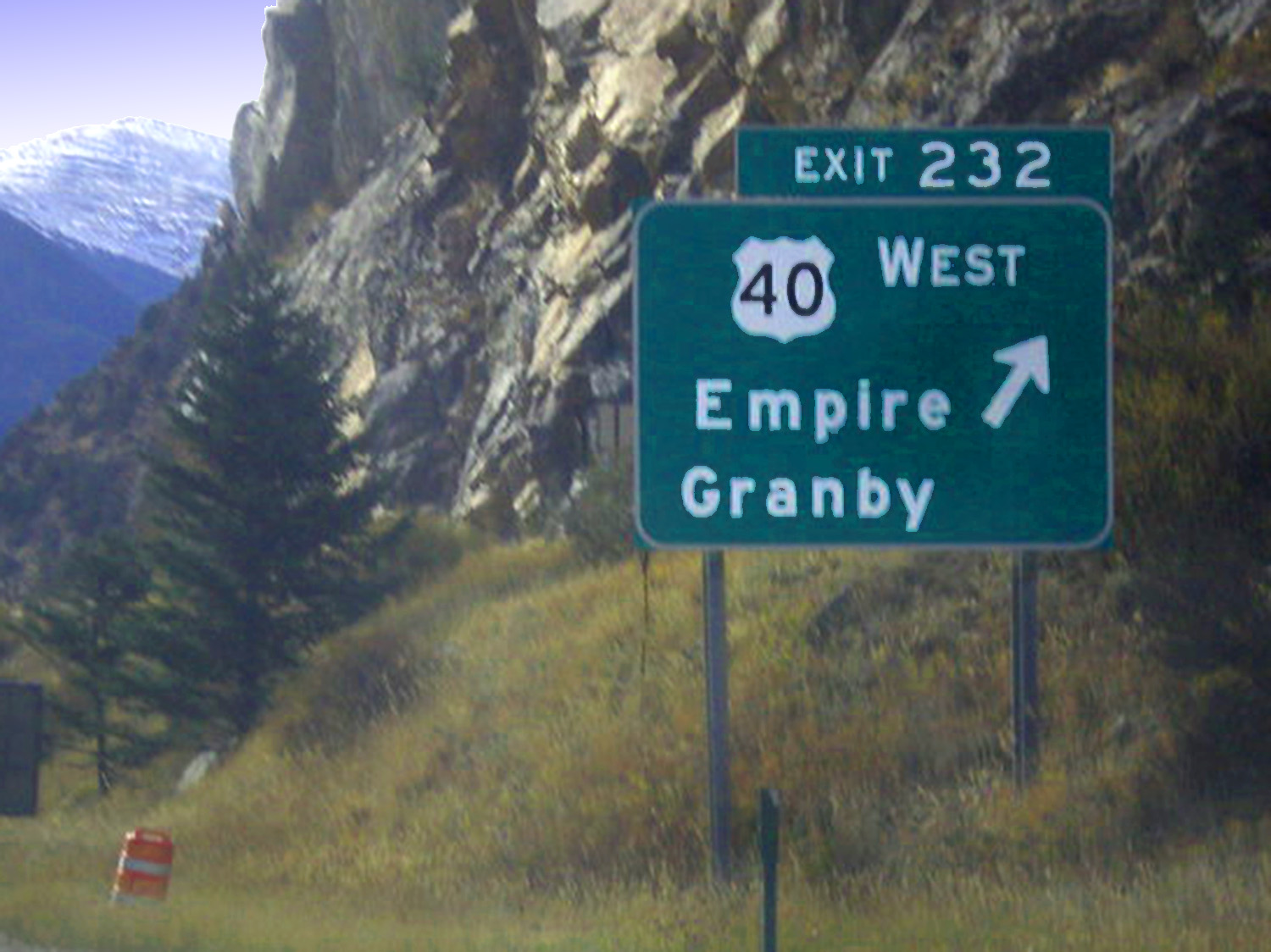
East end of US 40 through the Rockies, I-70 Empire exit
image from Google: US 40 exit I 70
image from Google: US 40 exit I 70
3 / 63
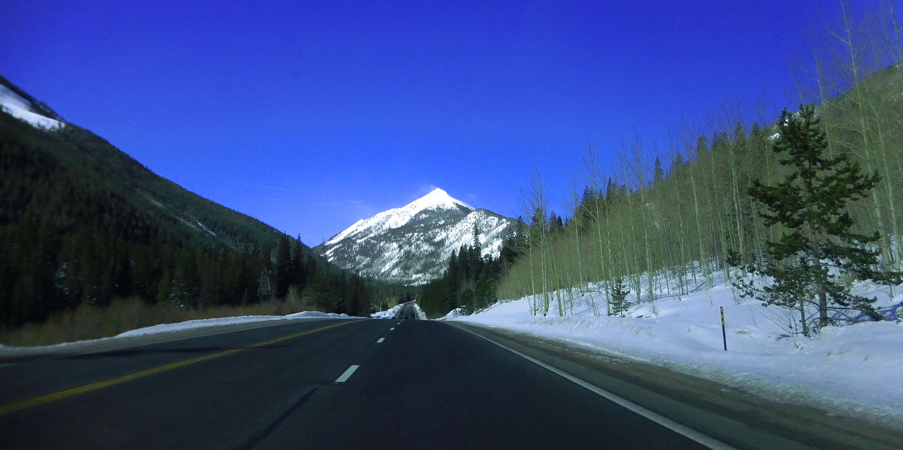
Stanley Mountain(12,521') appears immediately
Mar 28 2021 - 9:08 am
Mar 28 2021 - 9:08 am
4 / 63
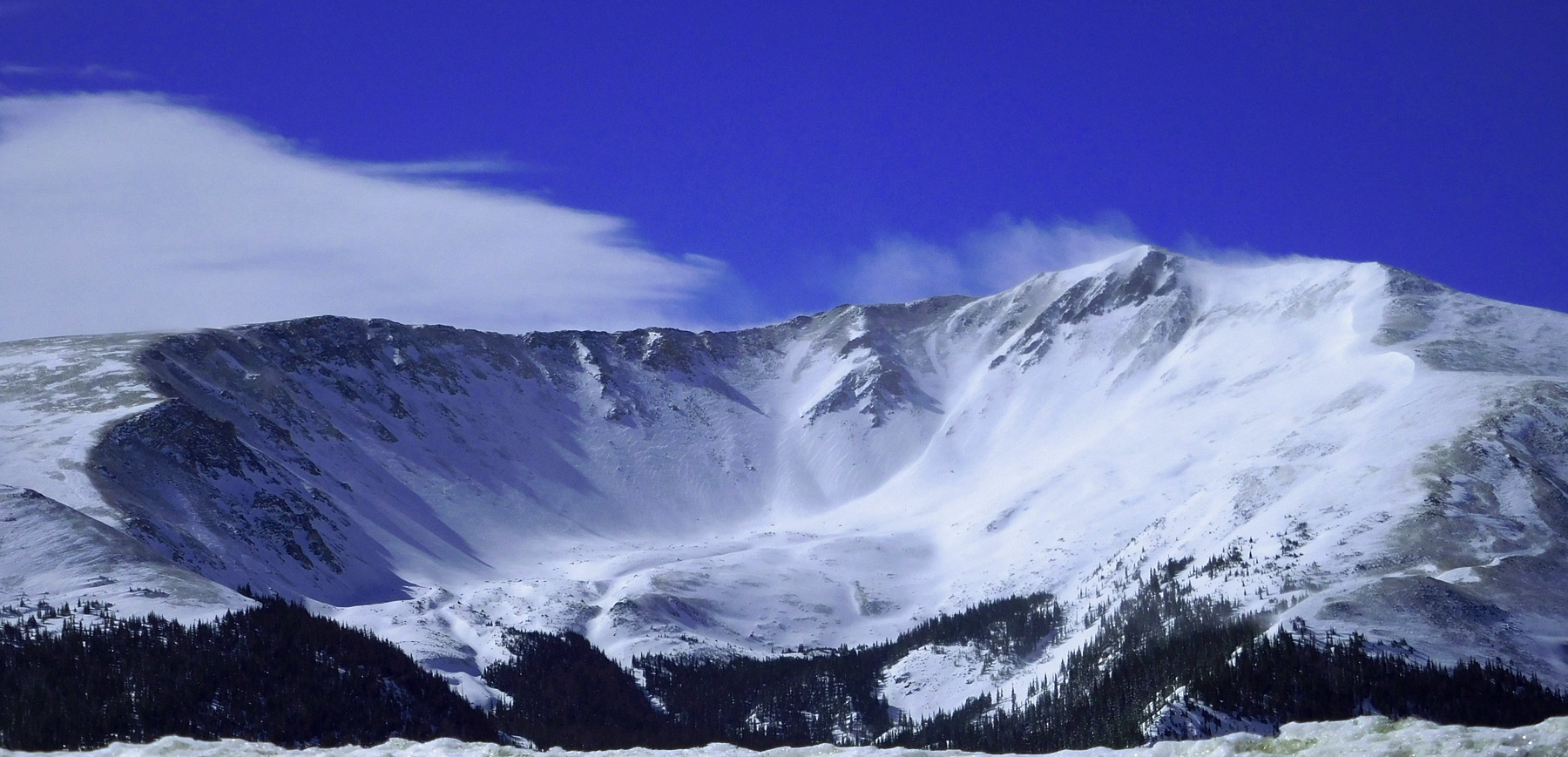
Glacial cirque, ridgeline continues above 12,000' about 4 miles north from Stanley Mountain
Mar 28 2021 - 9:22 am
Mar 28 2021 - 9:22 am
5 / 63
Berthoud Pass (11,315')
Mar 28 2021 - 9:27 am
Mar 28 2021 - 9:27 am
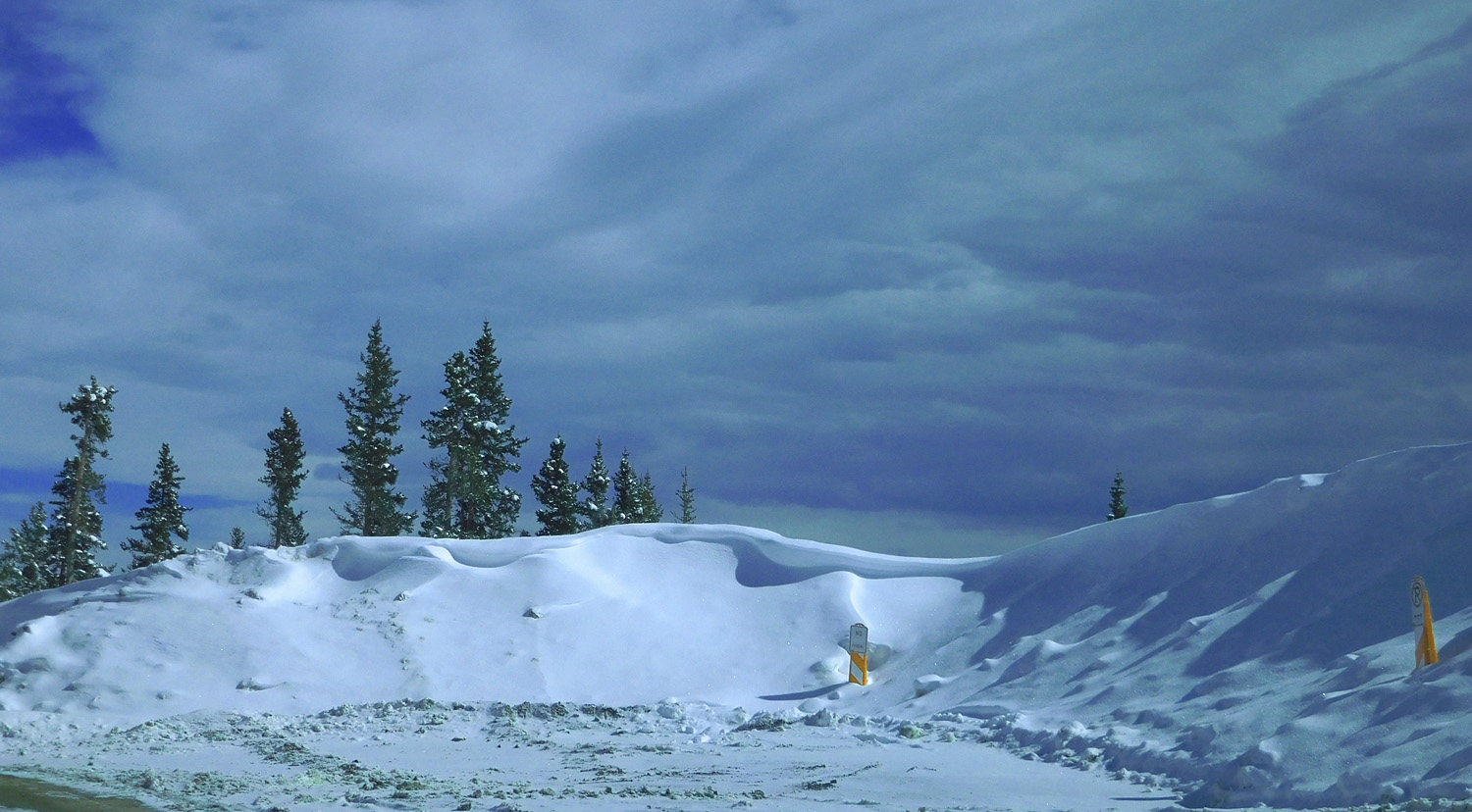
6 / 63
Nature abhors a vacuum
Mar 28 2021 - 9:27 am
Mar 28 2021 - 9:27 am
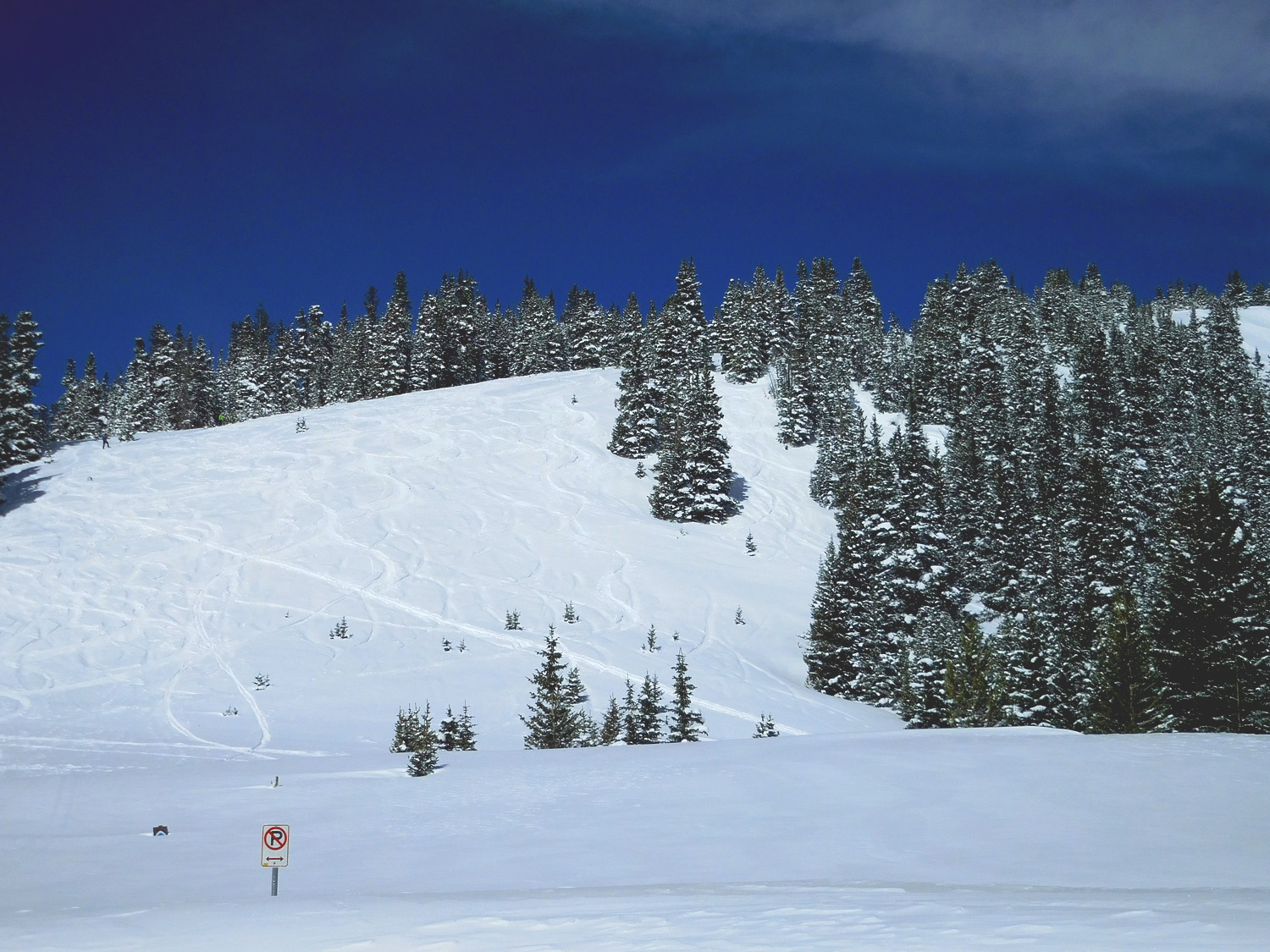
7 / 63
Parry Peak (13,391') of the Front Range
Mar 28 2021 - 9:28 am
Mar 28 2021 - 9:28 am
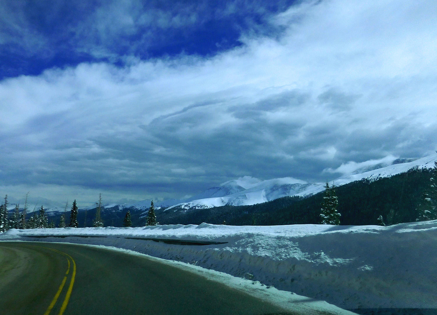
8 / 63
Storms moving over the Front Range
Mar 28 2021 - 9:38 am
Mar 28 2021 - 9:38 am
9 / 63
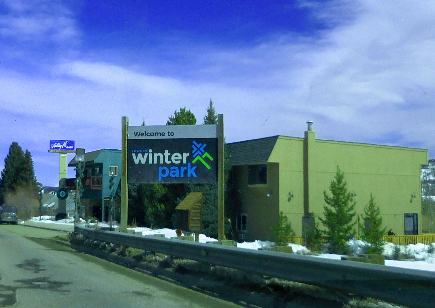
Winter Park
Mar 28 2021 - 9:48 am
Mar 28 2021 - 9:48 am
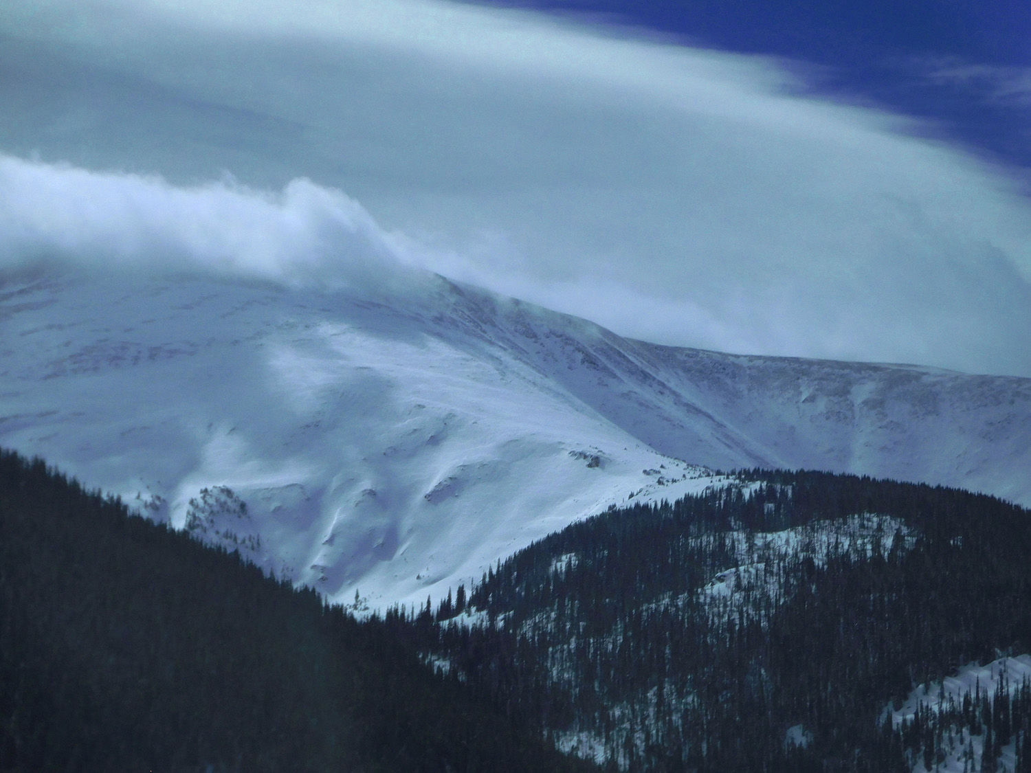
10 / 63
Twin Cones (12,060'), clear to the southwest
Mar 28 2021 - 9:53 am
Mar 28 2021 - 9:53 am
11 / 63
Indian Peaks of the Front Range over Fraser River terraces, still cloudy to the northeast
Mar 28 2021 - 9:58 am
Mar 28 2021 - 9:58 am
12 / 63
Coming into Granby at the Fraser - Colorado River confluence (Rabbit Ears Range in the background)
Mar 28 2021 - 10:10 am
Mar 28 2021 - 10:10 am
13 / 63
Middle Park Formation Volcanic Rocks
Mar 28 2021 - 10:16 am
Mar 28 2021 - 10:16 am
14 / 63
Overlying Mesa Verde Sandstones
Mar 28 2021 - 10:21 am
Mar 28 2021 - 10:21 am
15 / 63
Overlying Dakota Sandstone
Mar 28 2021 - 10:21 am
Mar 28 2021 - 10:21 am
16 / 63
Pre-Cambrian granite and metamorphic rocks in Byers Canyon (perhaps a Neogene monadnock)
Mar 28 2021 - 10:26 am
Mar 28 2021 - 10:26 am
17 / 63
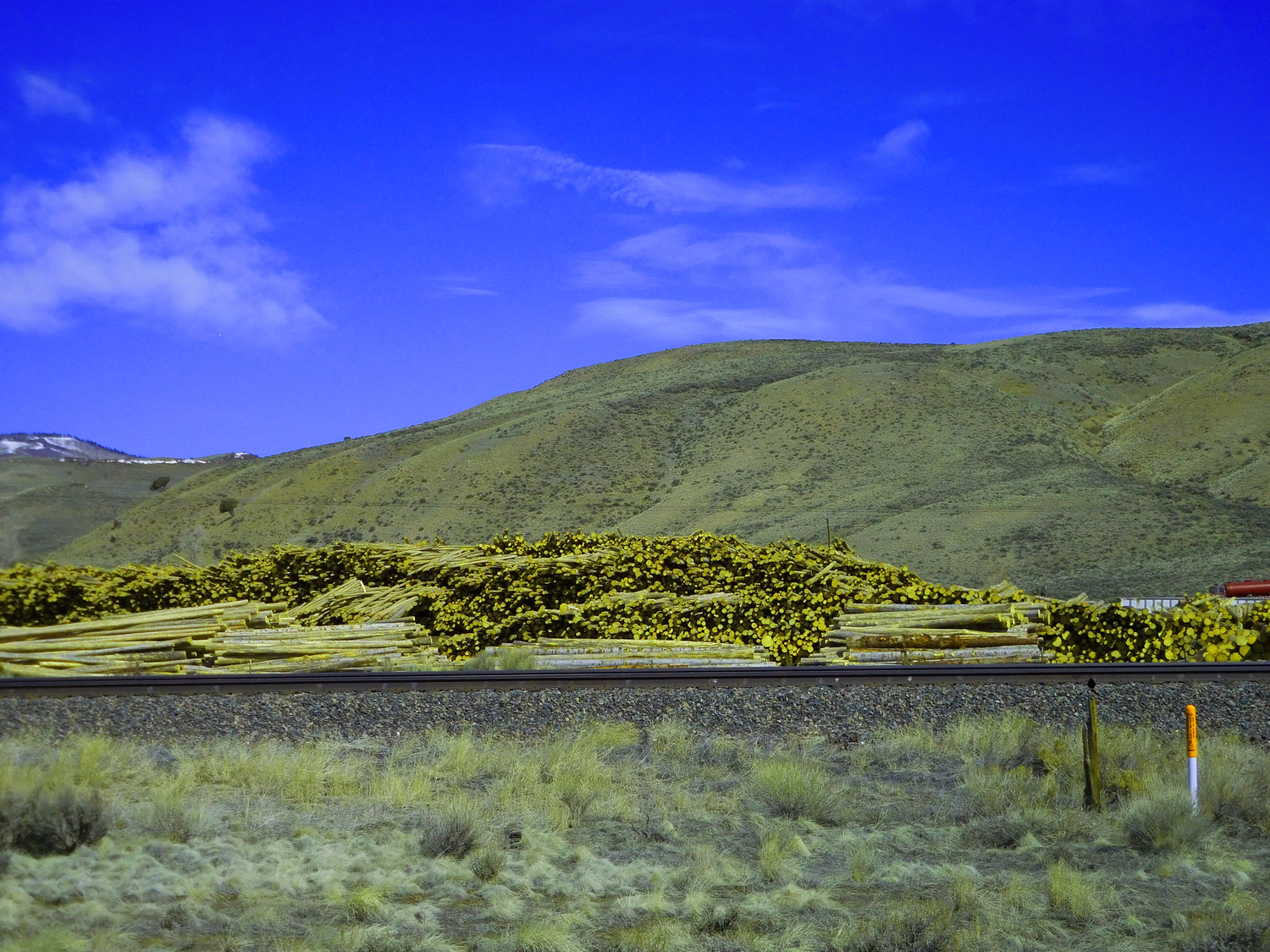
Logging but not here, in the monocultured mountains (same size logs)
Mar 28 2021 - 10:33 am
Mar 28 2021 - 10:33 am
18 / 63
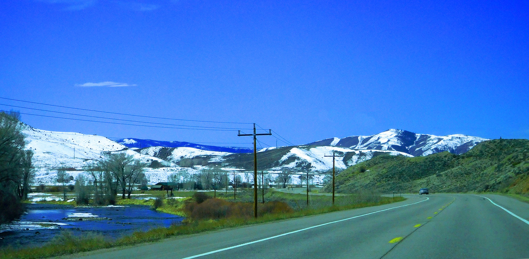
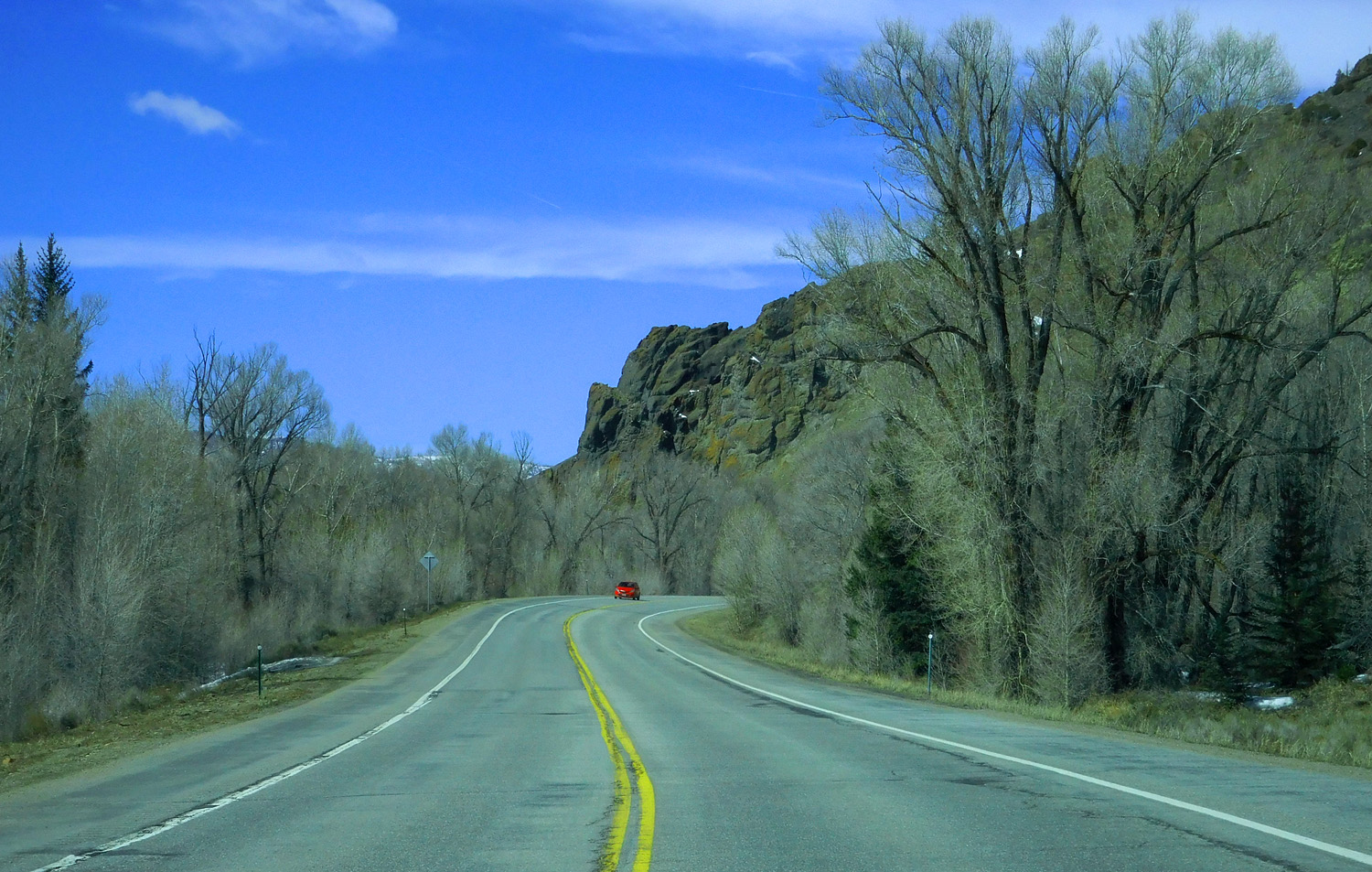
US 40 follows the Colorado River between Granby and Kremmling
Mar 28 2021 - 10:35 am
Mar 28 2021 - 10:35 am
19 / 63
Elliot Ridge anchoring the high peaks of the Gore Range south of Kremmling
Mar 28 2021 - 10:41 am
Mar 28 2021 - 10:41 am
20 / 63
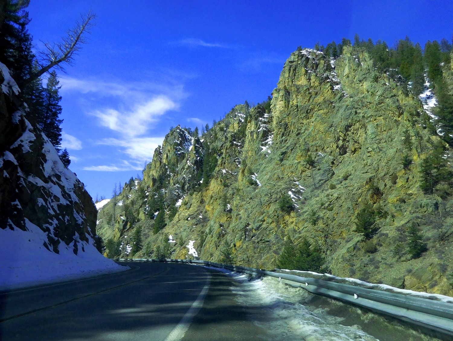
Gore Canyon cut by the Colorado River through (here into) the Gore Range despite hard pre-Cambrian rocks
Mar 28 2021 - 10:49 am
Mar 28 2021 - 10:49 am
21 / 63
Whiteley Peak (10,115') of the Rabbit Ears Range
Mar 28 2021 - 11:04 am
Mar 28 2021 - 11:04 am
22 / 63
Rabbit Ears Range
Mar 28 2021 - 11:07 am
Mar 28 2021 - 11:07 am
23 / 63
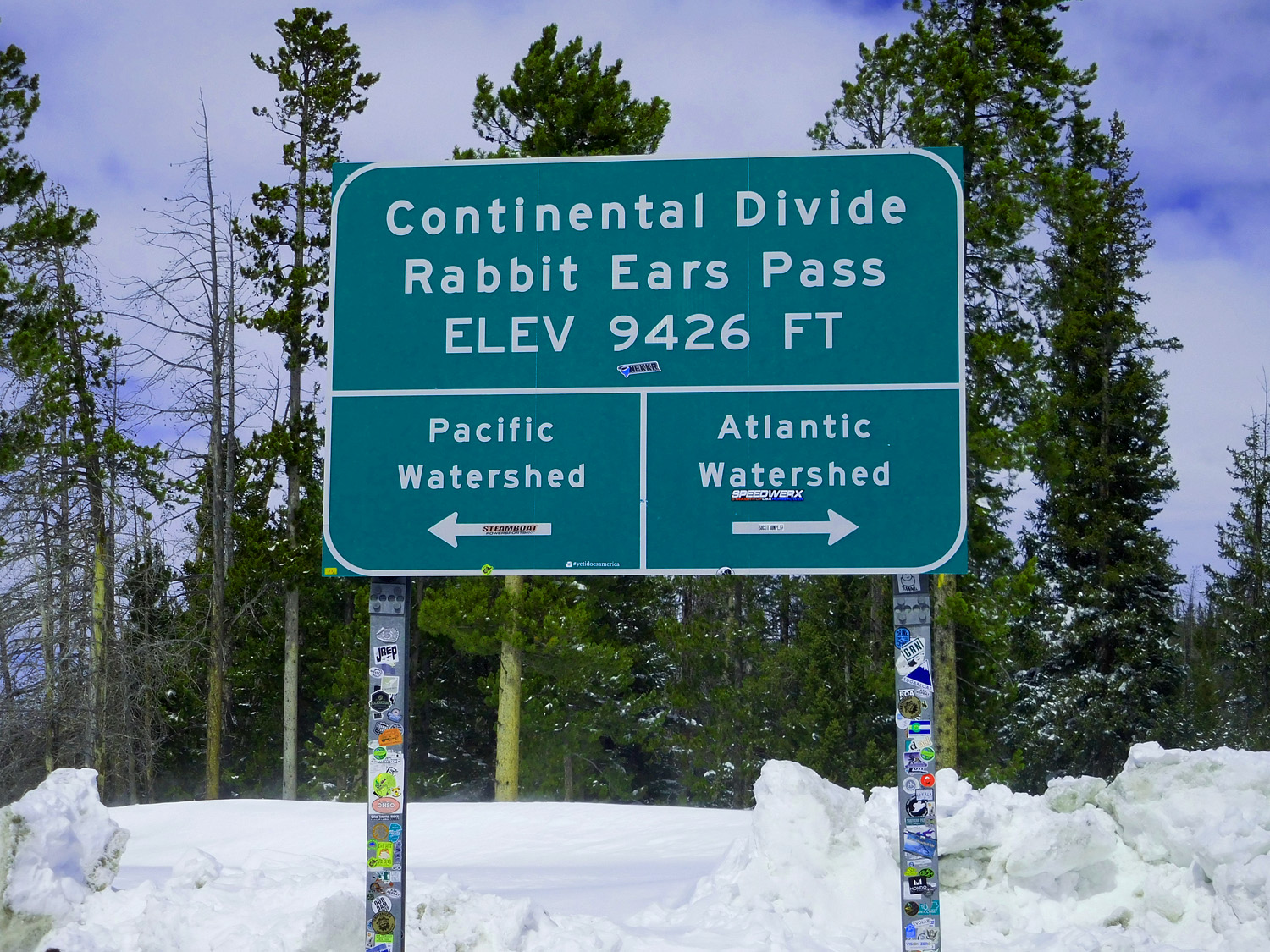
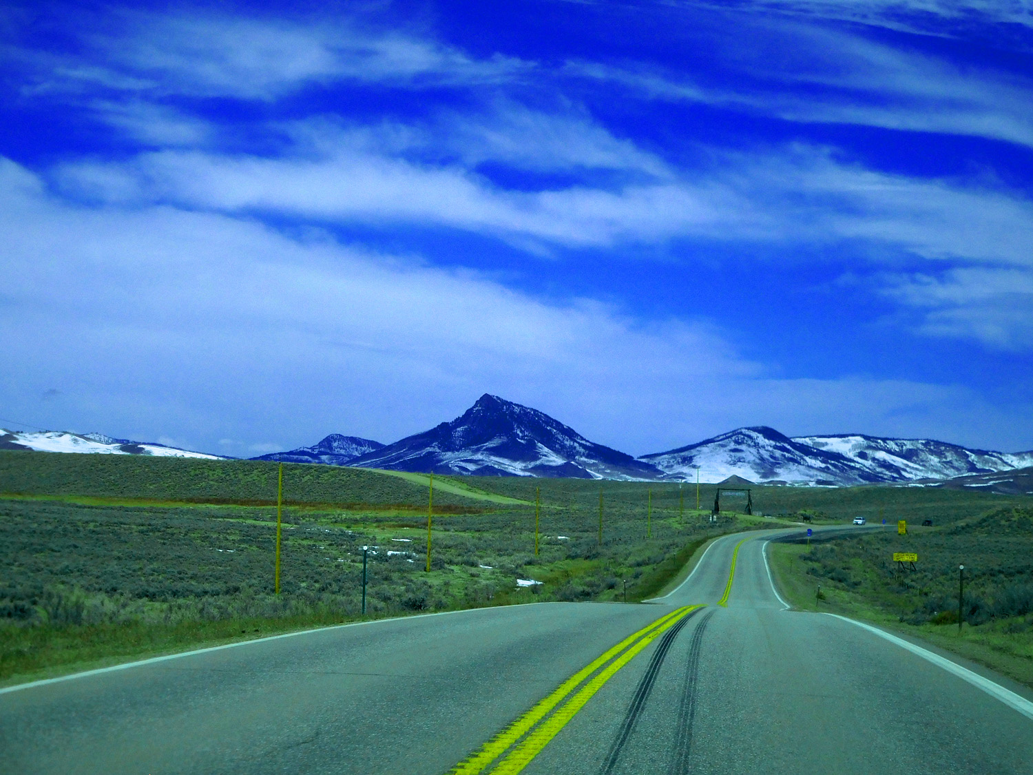
Rabbit Ears Pass
Mar 28 2021 - 11:29 am
Mar 28 2021 - 11:29 am
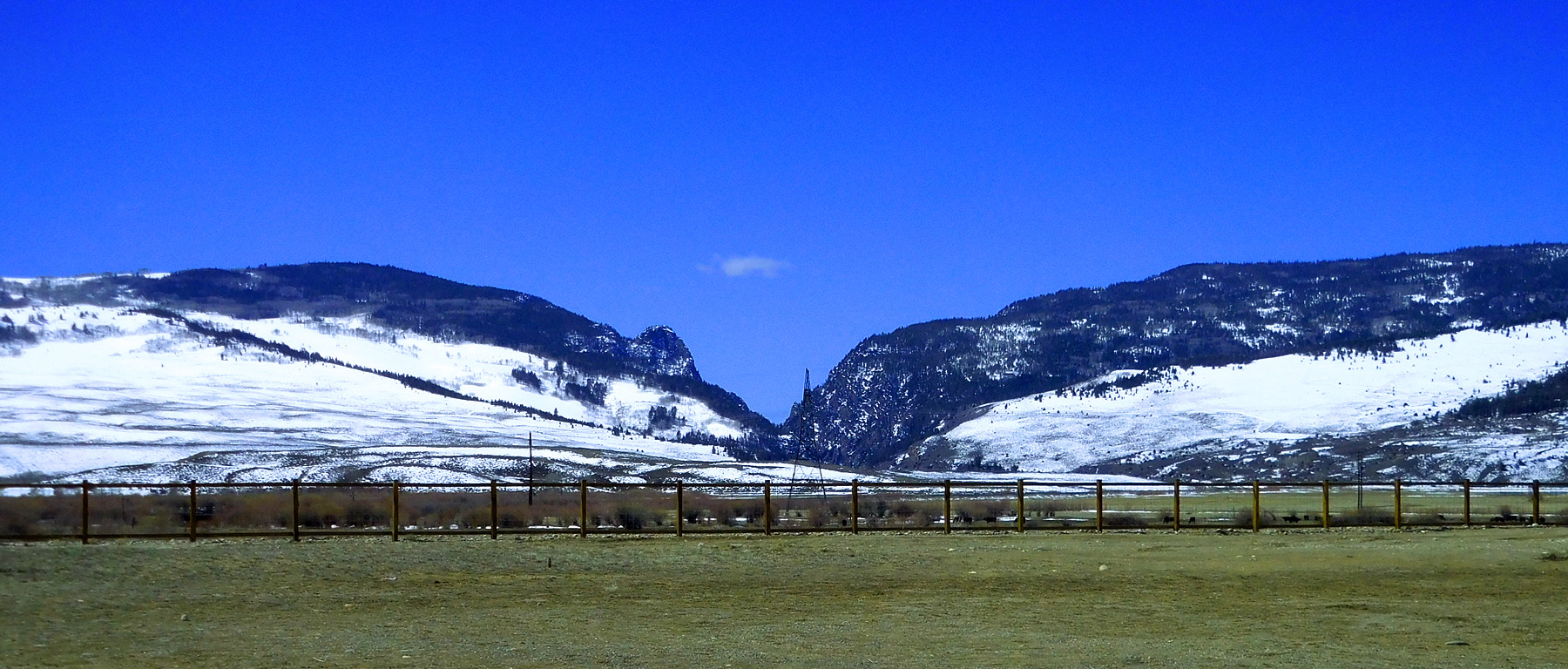
24 / 63
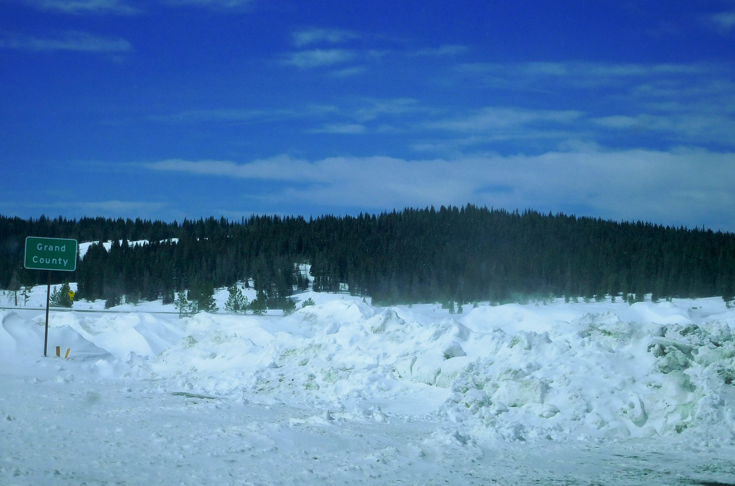
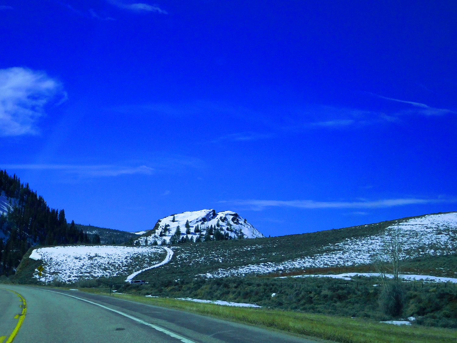
Abundant snow at the pass
Mar 28 2021 - 11:29 am
Mar 28 2021 - 11:29 am
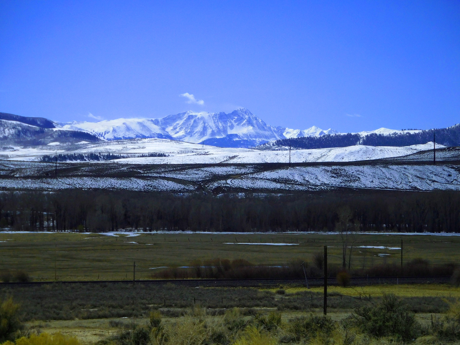
25 / 63
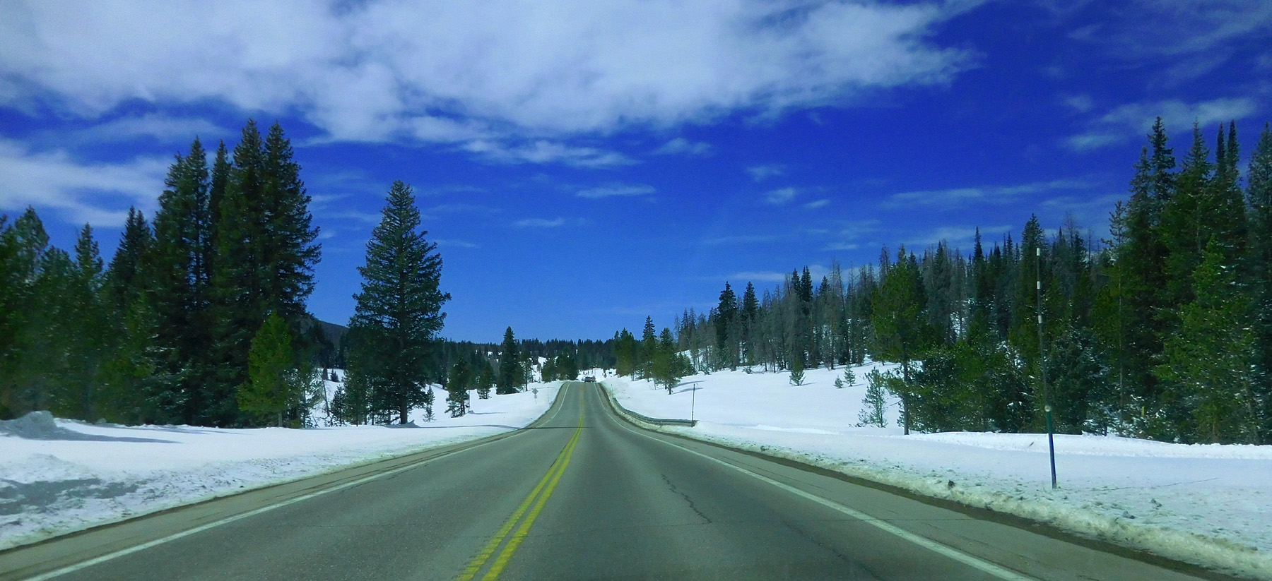
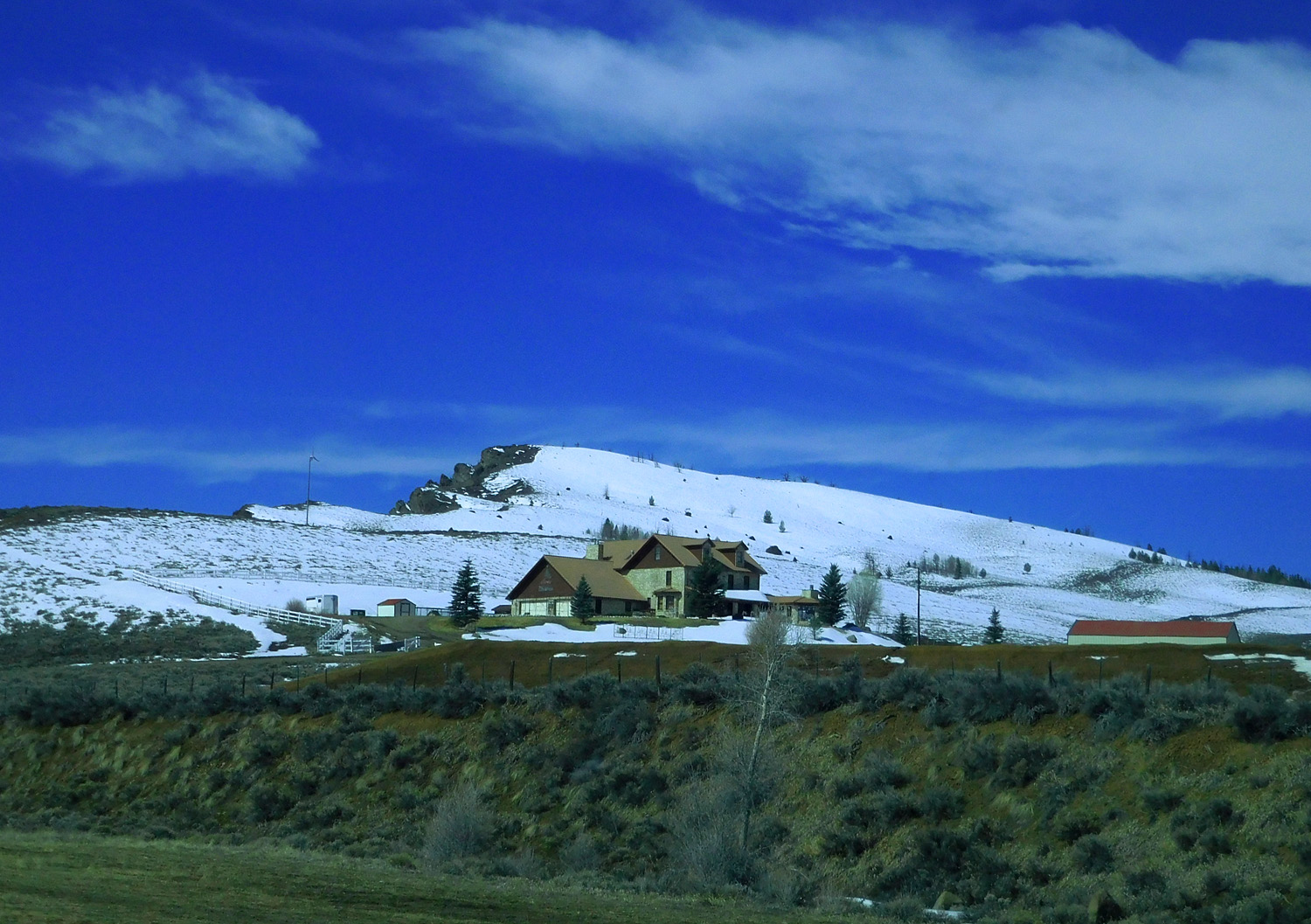
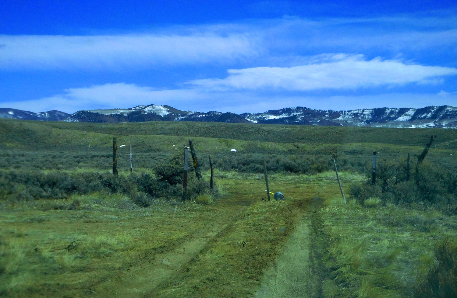
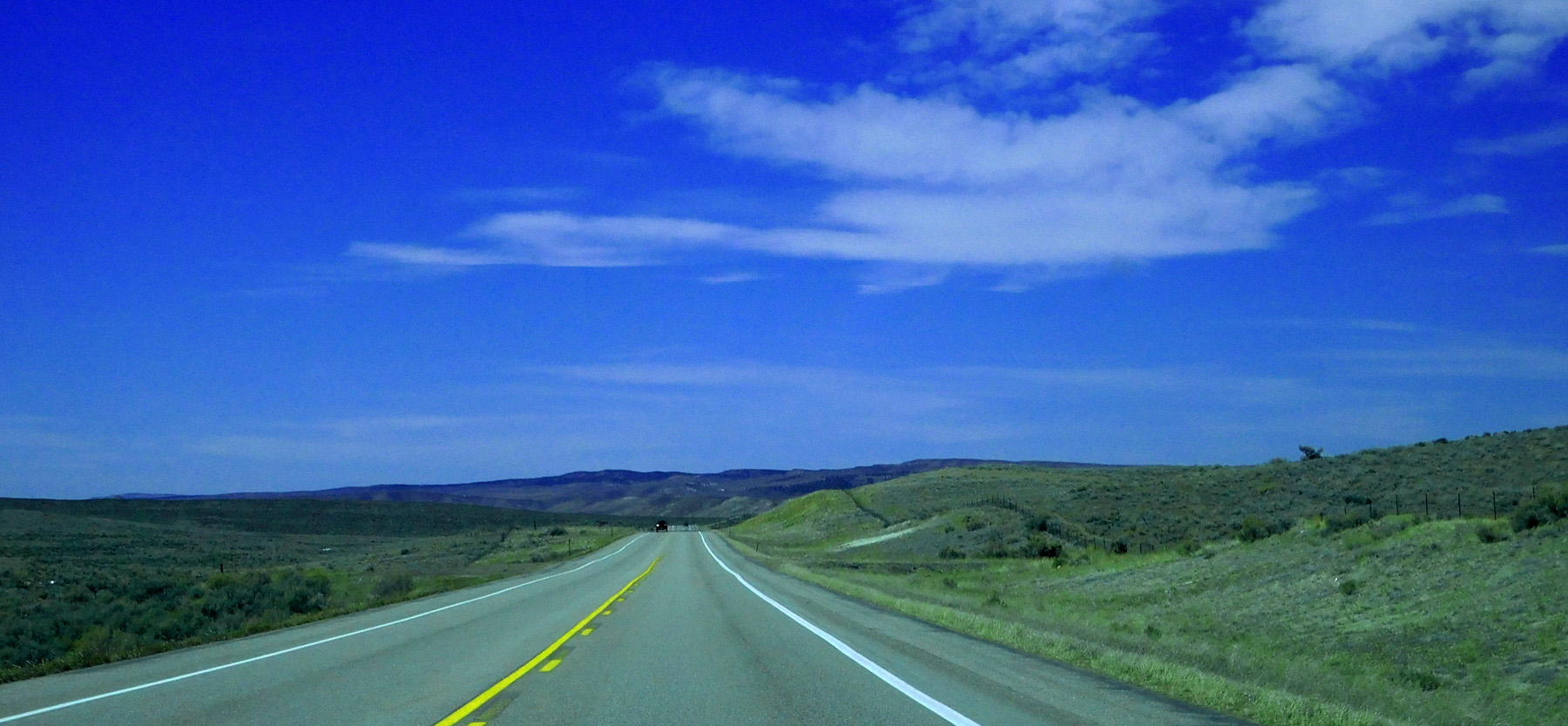
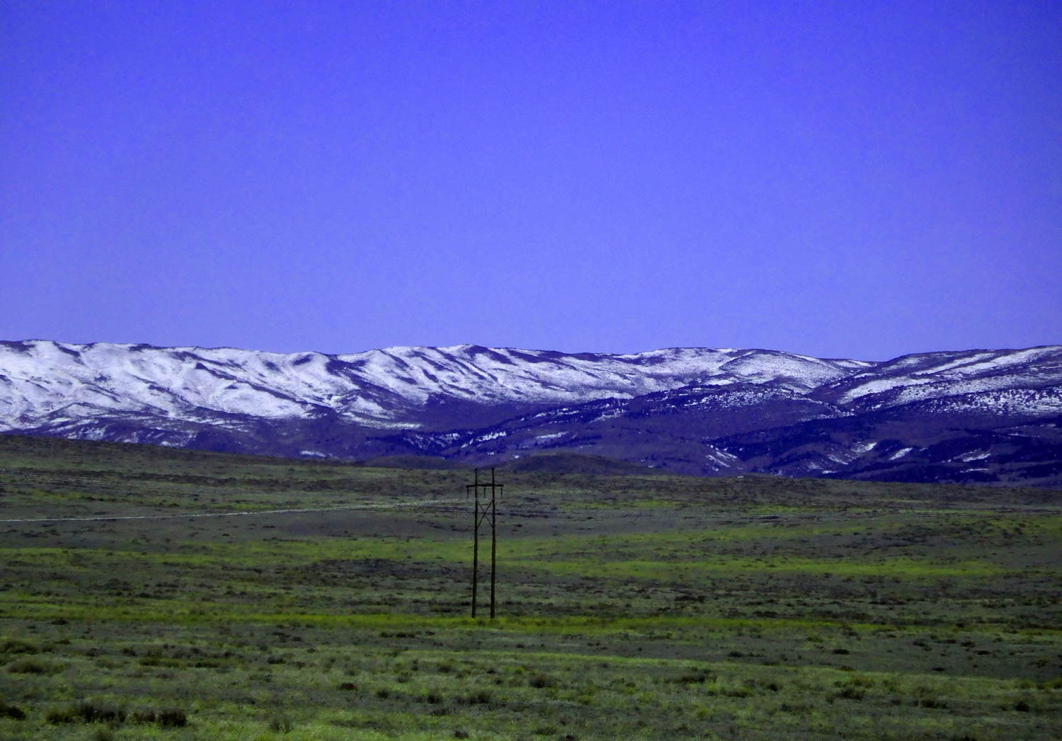
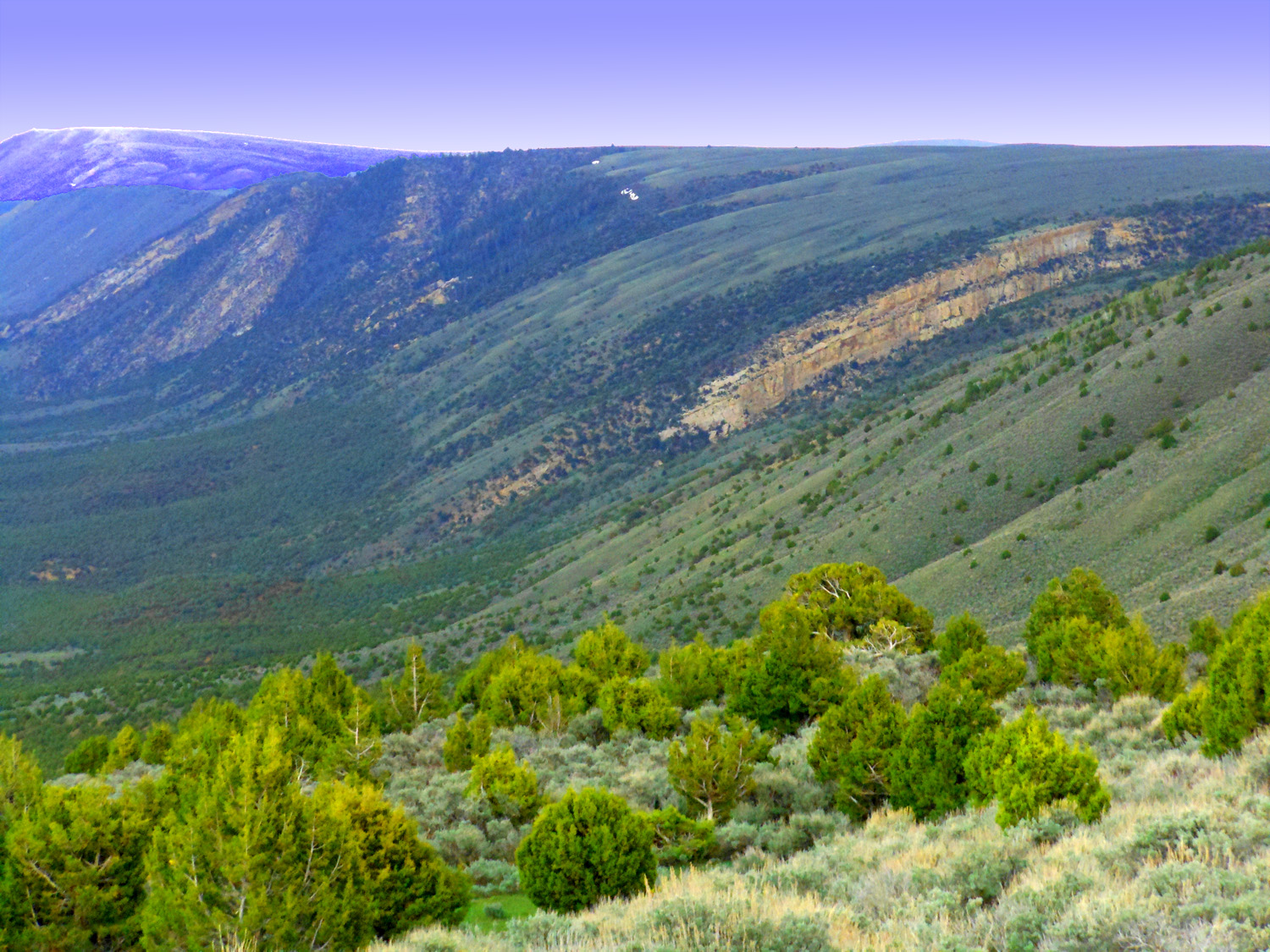
And along US 40 following the flat-topped Gore Range for about 6 miles
Mar 28 2021 - 11:32 am
Mar 28 2021 - 11:32 am
26 / 63
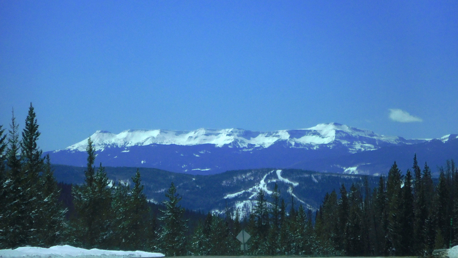
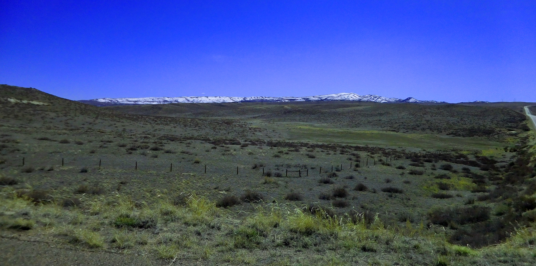
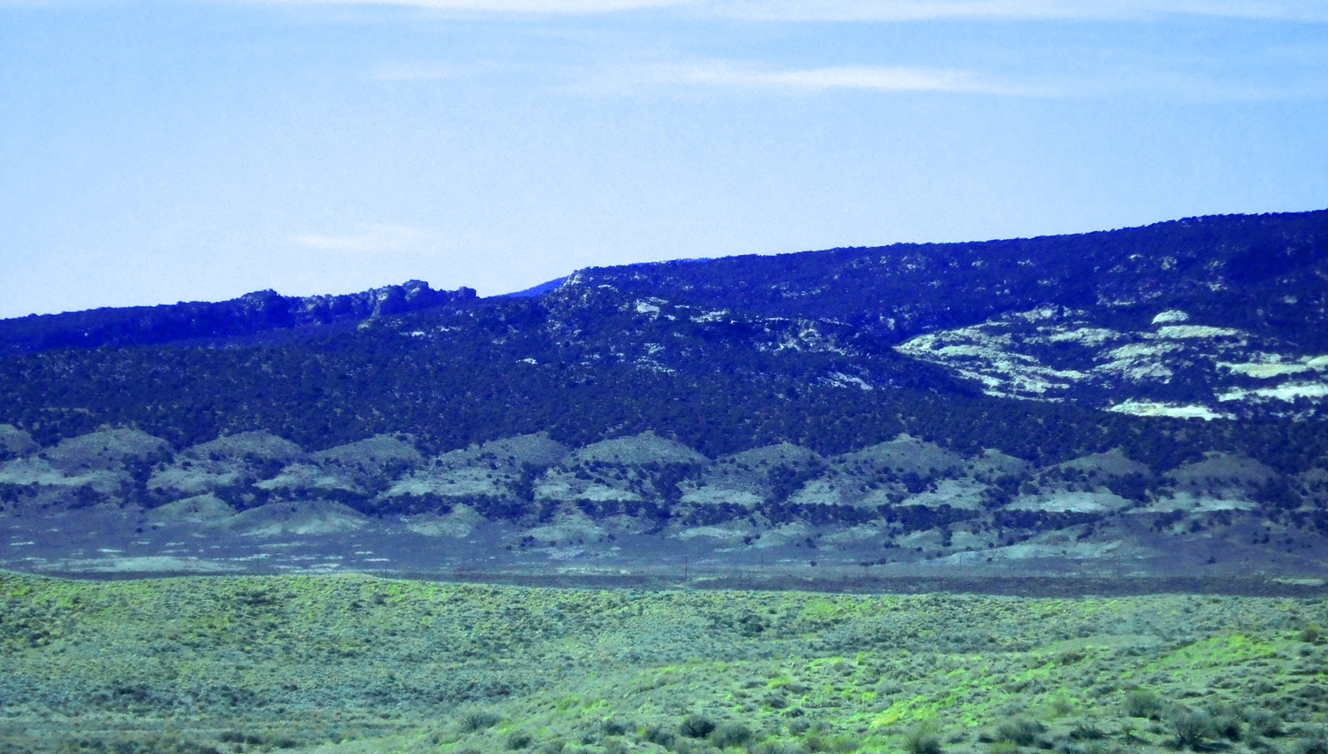
Brief glimpses of The Flat Tops
Mar 28 2021 - 11:38 am
Mar 28 2021 - 11:38 am
27 / 63
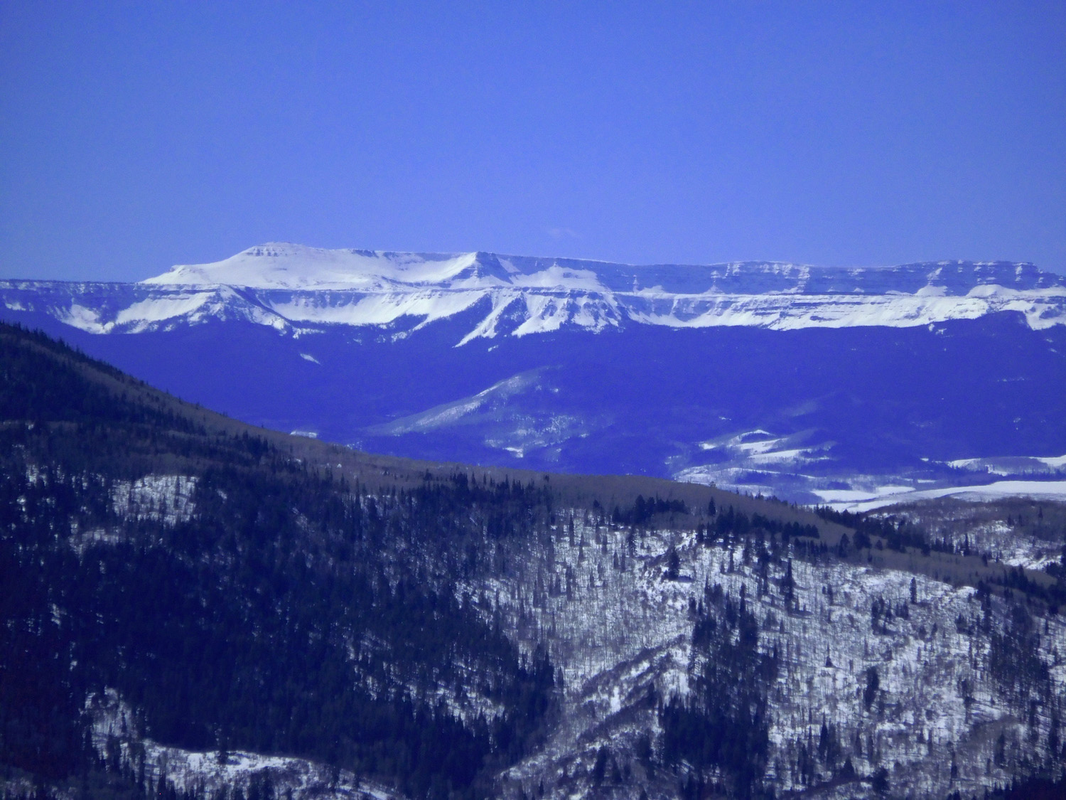
And Roan Cliffs
Mar 28 2021 - 11:44 am
Mar 28 2021 - 11:44 am
28 / 63
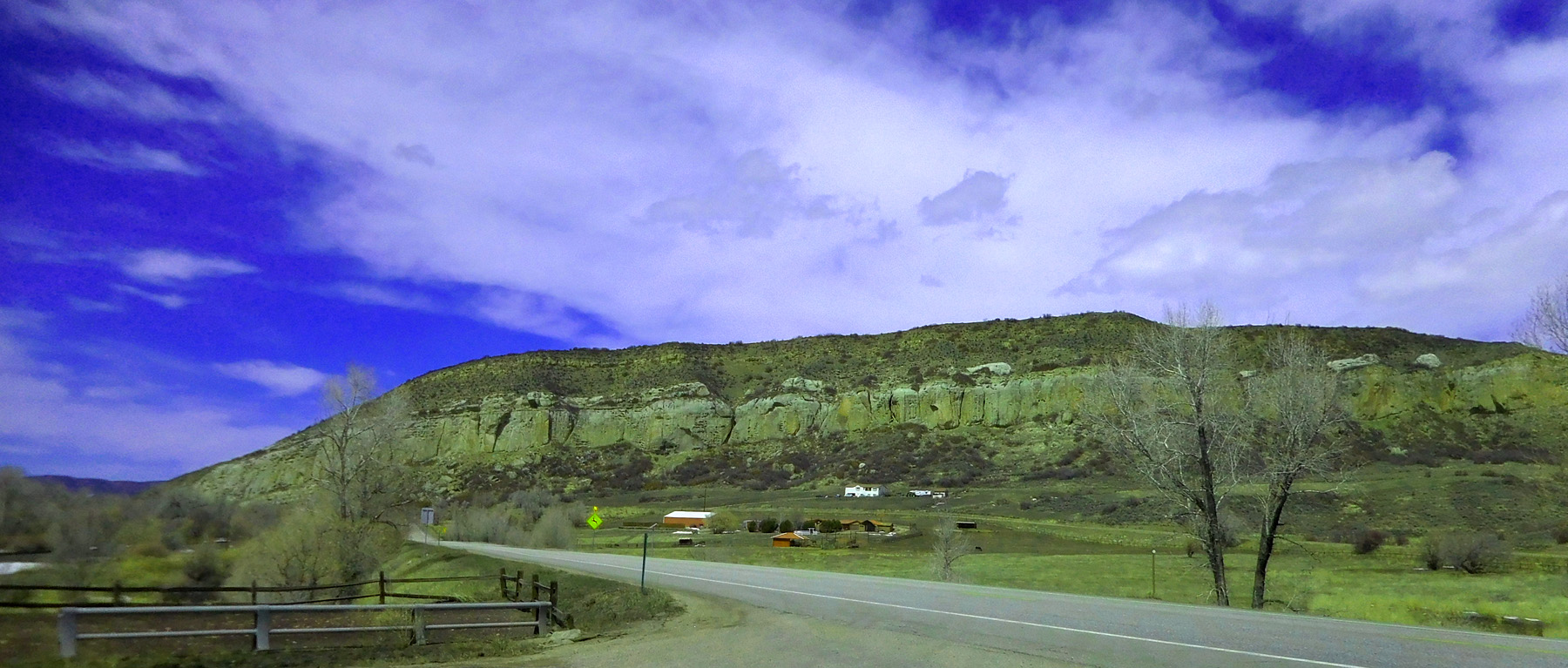
Flat Tops basalt sitting on Roan Cliffs
Mar 28 2021 - 11:45 am
Mar 28 2021 - 11:45 am
29 / 63
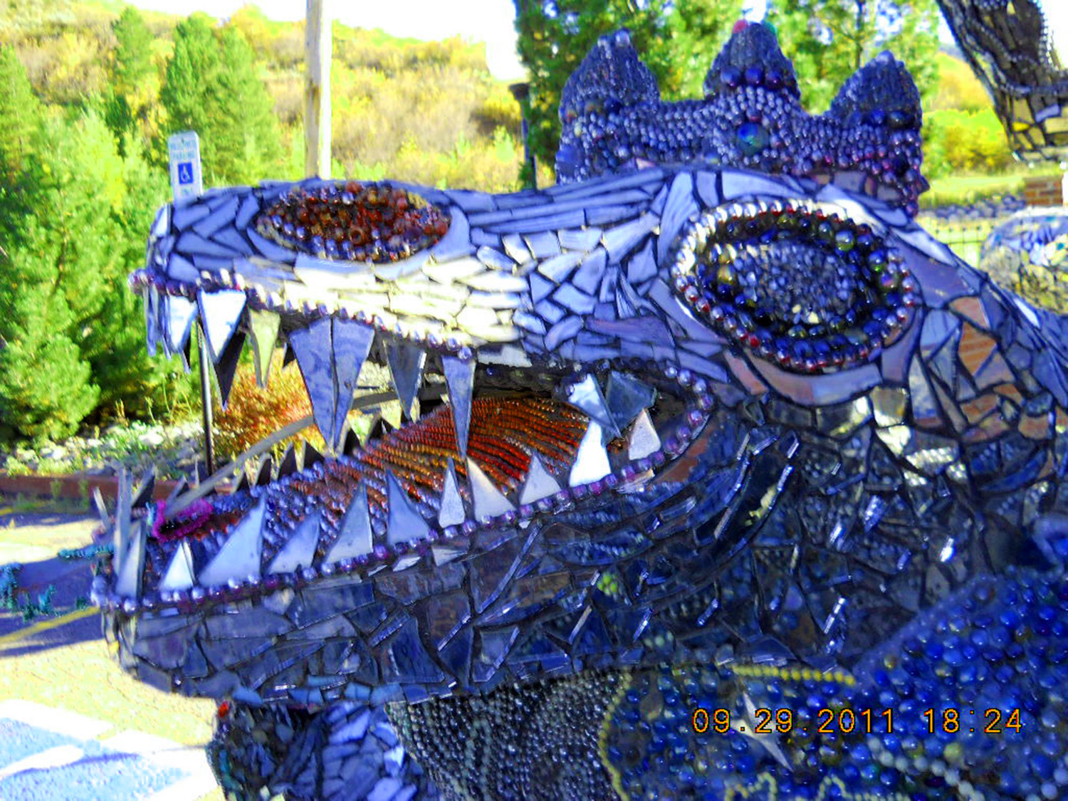
Whimsical Sculpture downtown Steamboat Springs
Sep 29 2011 - 6:24 pm
Sep 29 2011 - 6:24 pm
30 / 63
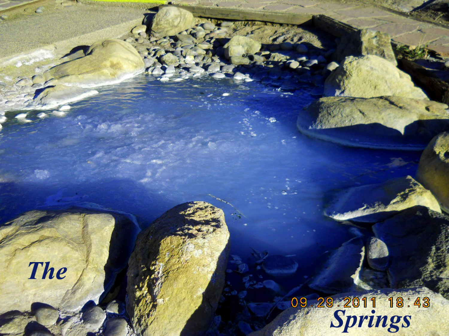
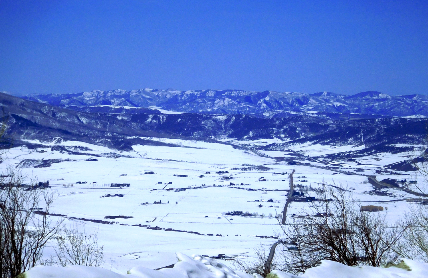
The Springs
Sep 29 2011 - 6:43 pm
Sep 29 2011 - 6:43 pm
31 / 63
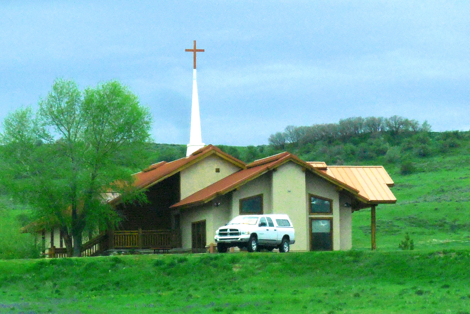
Chapel outside Steamboat Springs
May 20 2020 - 2:11 pm
May 20 2020 - 2:11 pm
32 / 63
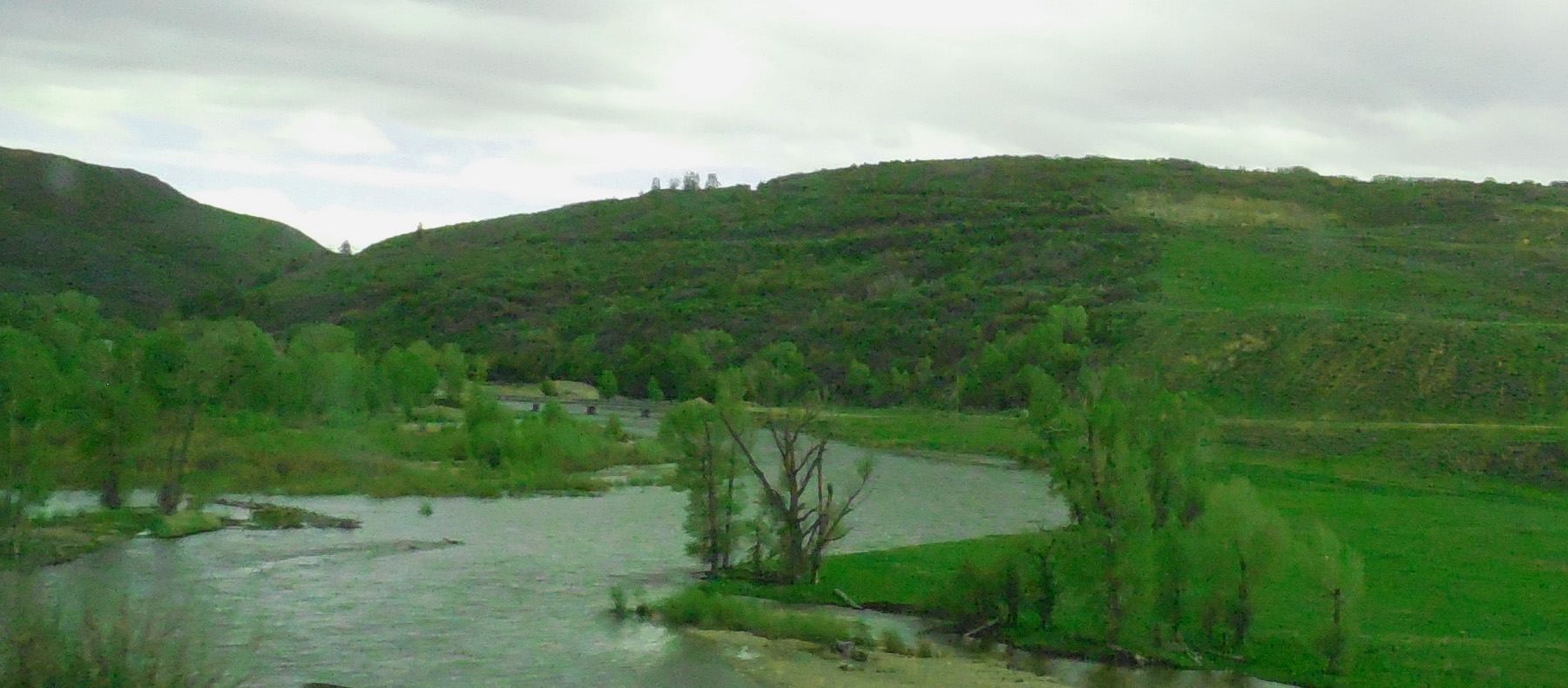
Yampa River in flood (US 40 follows the Yampa River from Steamboat Spring to Maybell)
May 20 2020 - 2:27 pm
May 20 2020 - 2:27 pm
33 / 63
Mesa Verde Sandstone off and on all the way to the Utah border and beyond
Mar 28 2021 - 12:31 pm
Mar 28 2021 - 12:31 pm
34 / 63
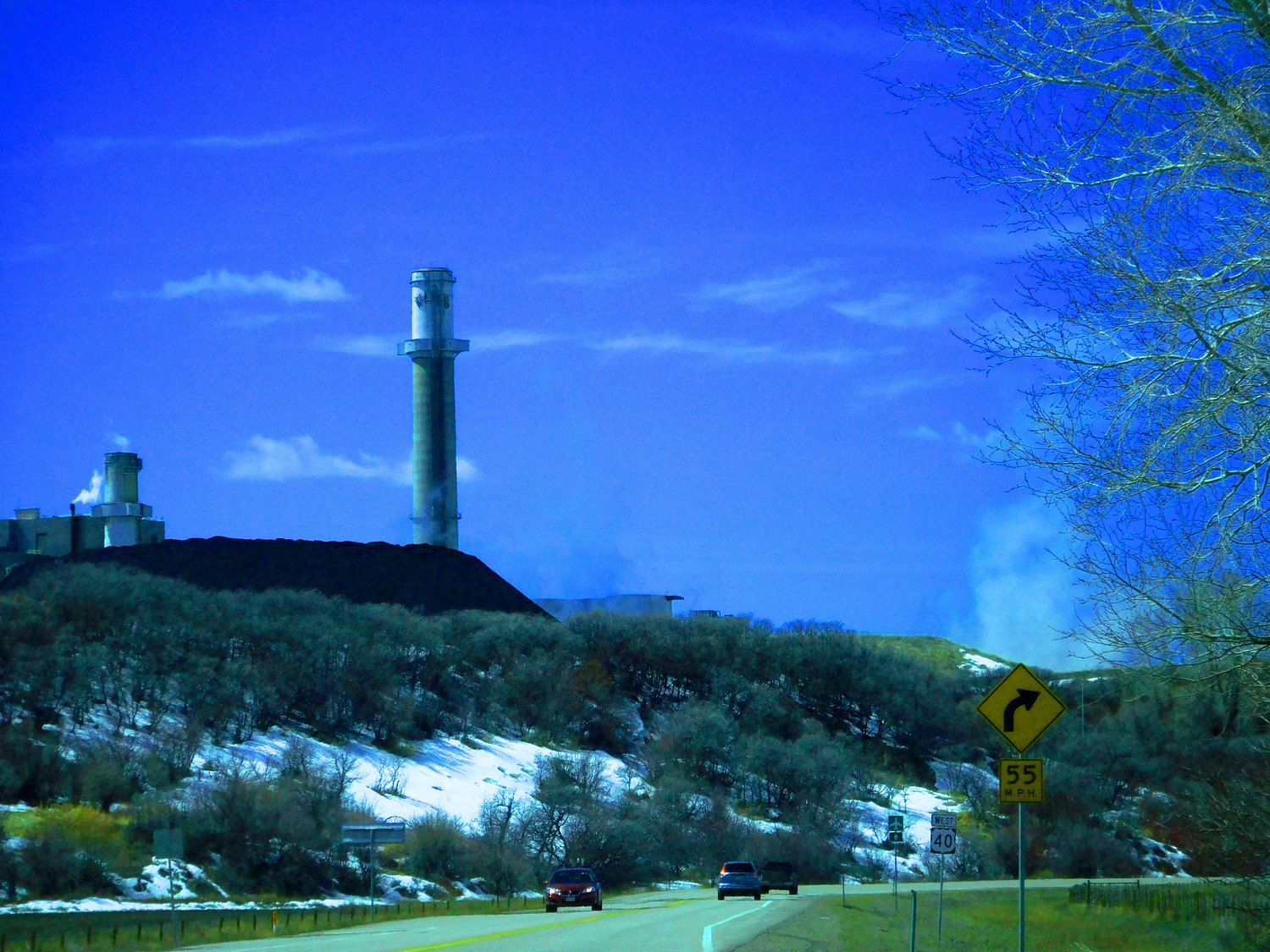
Local Mesa Verde coal occurring under the sandstones, usually (Hayden Power Plant)
Mar 28 2021 - 12:28 pm
Mar 28 2021 - 12:28 pm
35 / 63
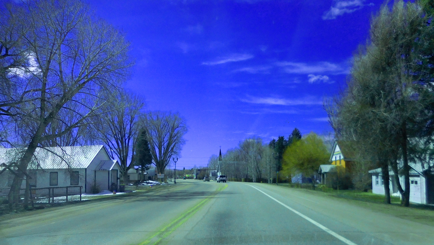
Downtown Hayden
Mar 28 2021 - 12:37 pm
Mar 28 2021 - 12:37 pm
36 / 63
Ferdinand Hayden: abundant features named for him (e.g. Hayden Peak in the Uintas, Hayden Spire in RMNP, Hayden, CO)
May 20 2020 - 2:52 pm
May 20 2020 - 2:52 pm
37 / 63
Swells and Swales of Mesa Verde sandstones
Mar 28 2021 - 1:10 pm
Mar 28 2021 - 1:10 pm
38 / 63
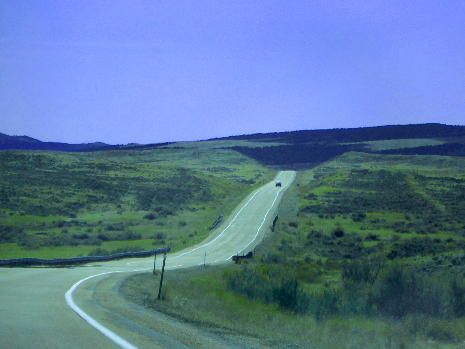
Mirages on roadway caused by heat absorbing fragmented pavement and view angle
Mar 28 2021 - 1:15 pm
Mar 28 2021 - 1:15 pm
39 / 63
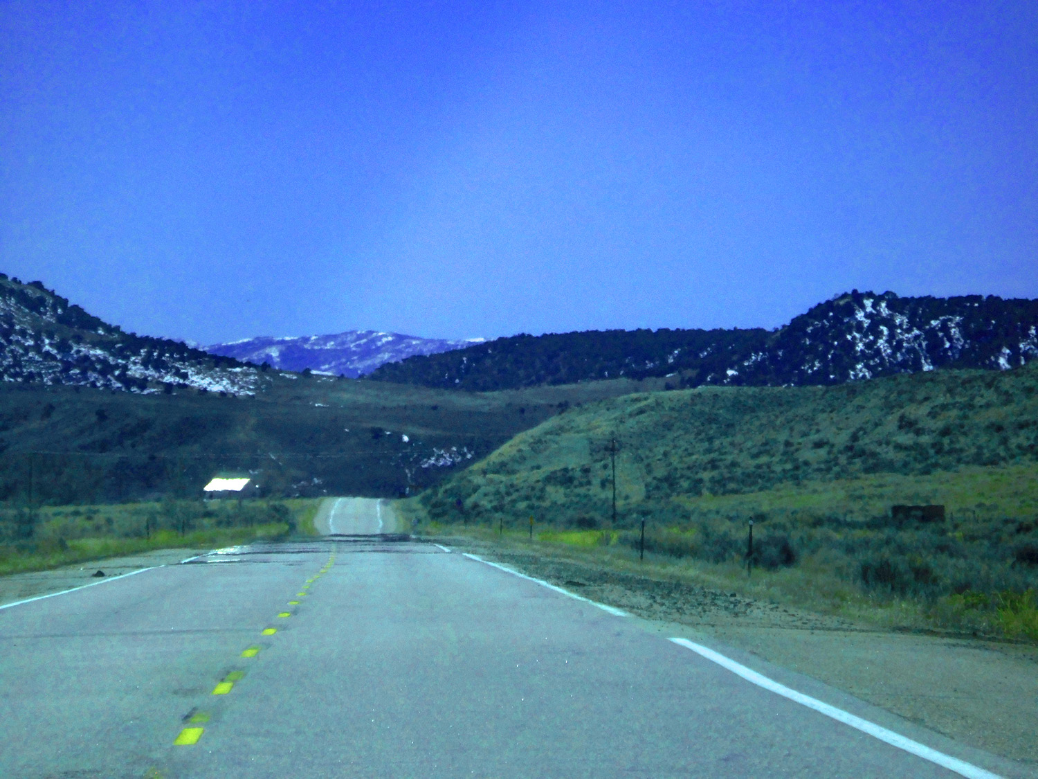
Yampa River
Mar 28 2021 - 1:27 pm
Mar 28 2021 - 1:27 pm
40 / 63
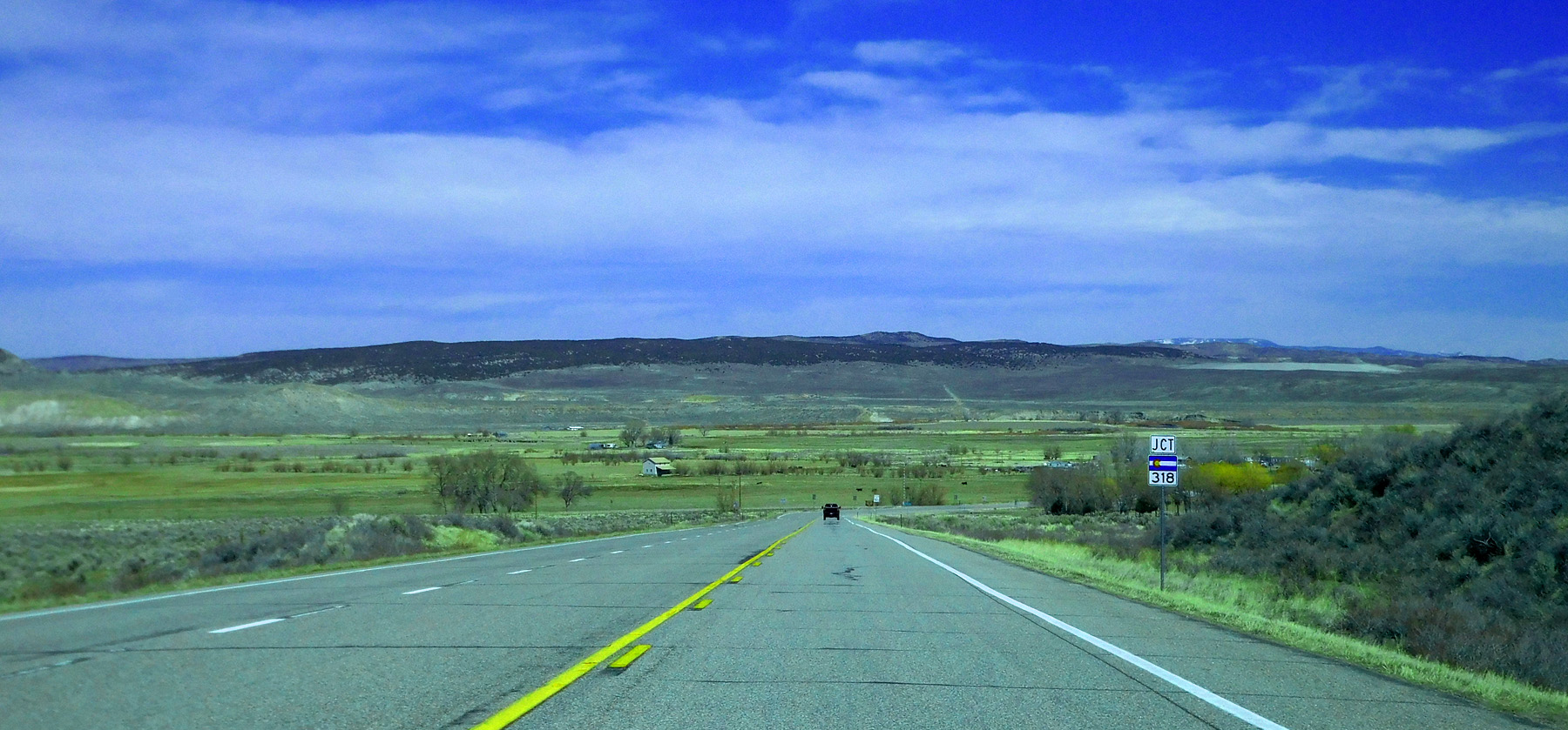
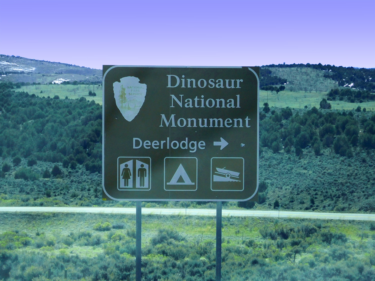
Side trip to Gates of Ladore on CO 318
Mar 28 2021 - 1:32 pm
Mar 28 2021 - 1:32 pm
41 / 63
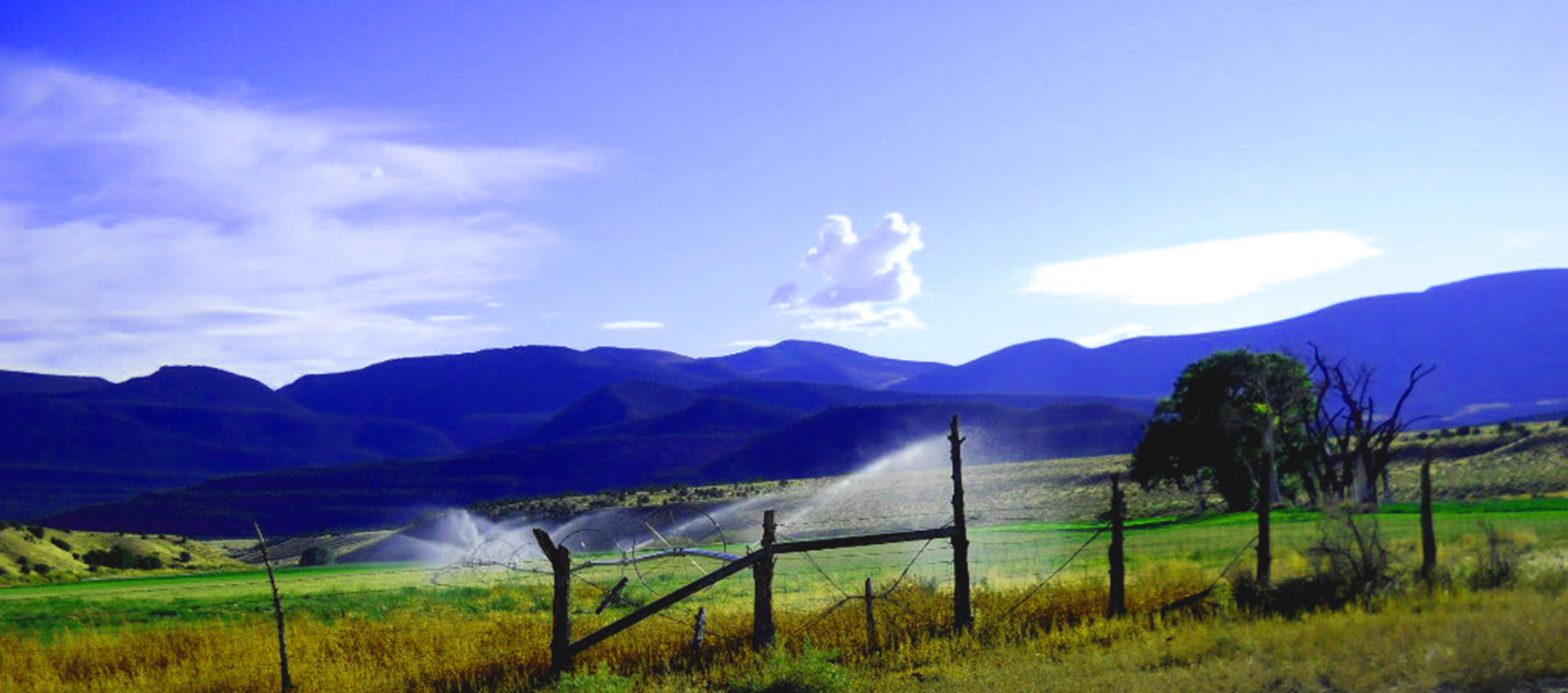
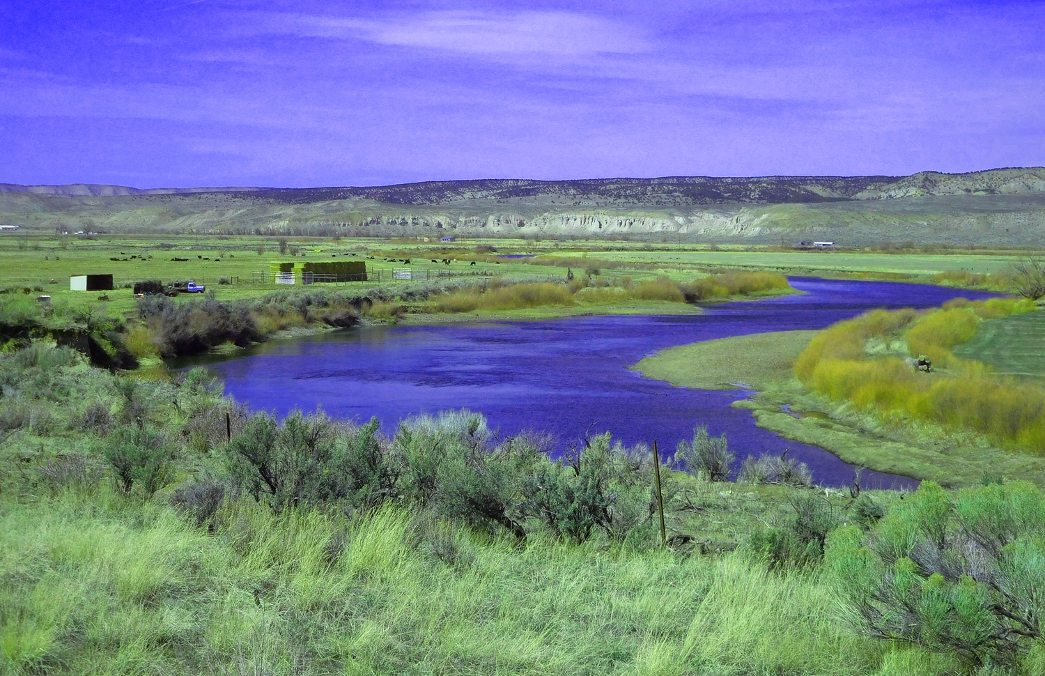
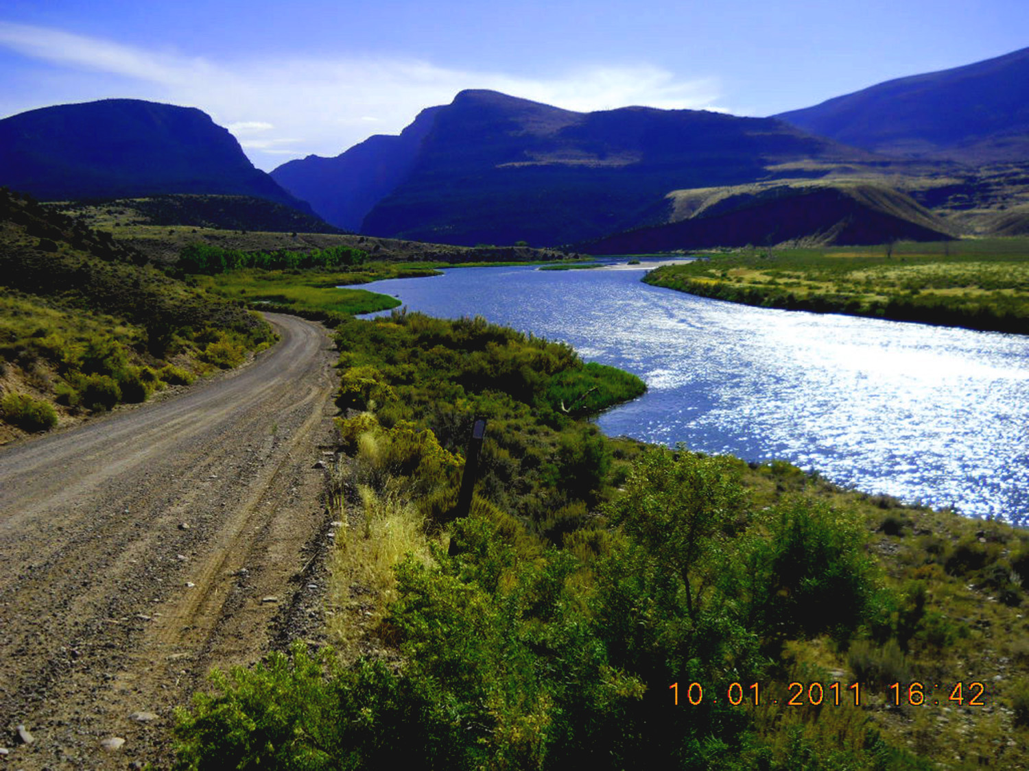
Brown Park irrigated by the Green River
Oct 01 2011 - 6:03 pm
Oct 01 2011 - 6:03 pm
42 / 63
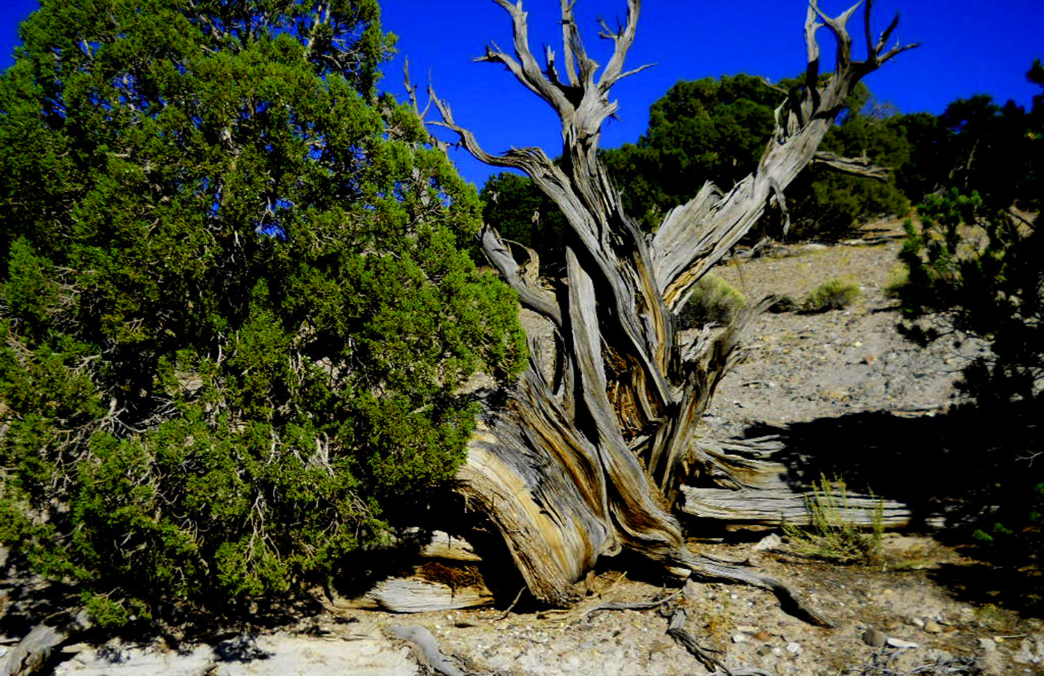
Juniper survivor
Oct 01 2011 - 5:58 pm
Oct 01 2011 - 5:58 pm
43 / 63
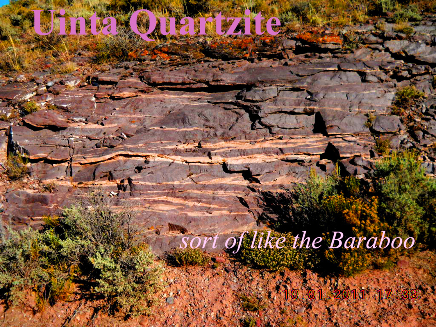
Uinta Quartzite
Oct 01 2011 - 5:33 pm
Oct 01 2011 - 5:33 pm
44 / 63
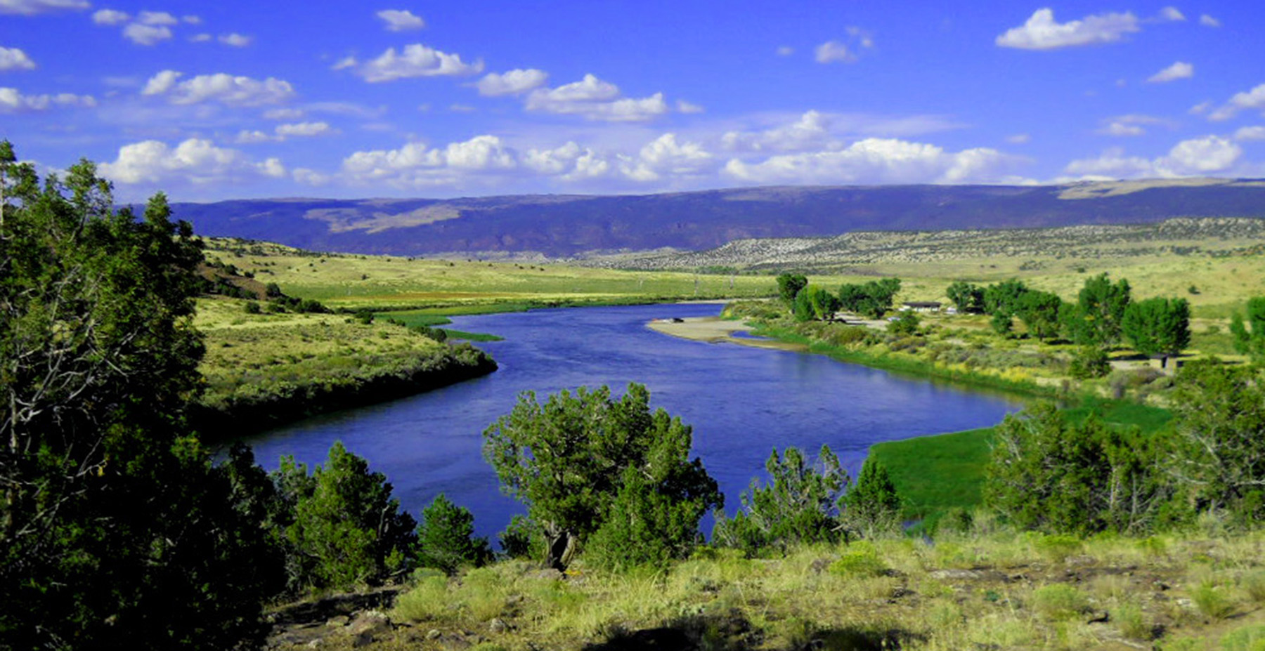
Green River exiting Browns Park (flow toward viewer)
Oct 01 2011 - 5:17 pm
Oct 01 2011 - 5:17 pm
45 / 63
Green River entering the Uinta Mountains (flow away from viewer)
Oct 01 2011 - 4:42 pm
Oct 01 2011 - 4:42 pm
46 / 63
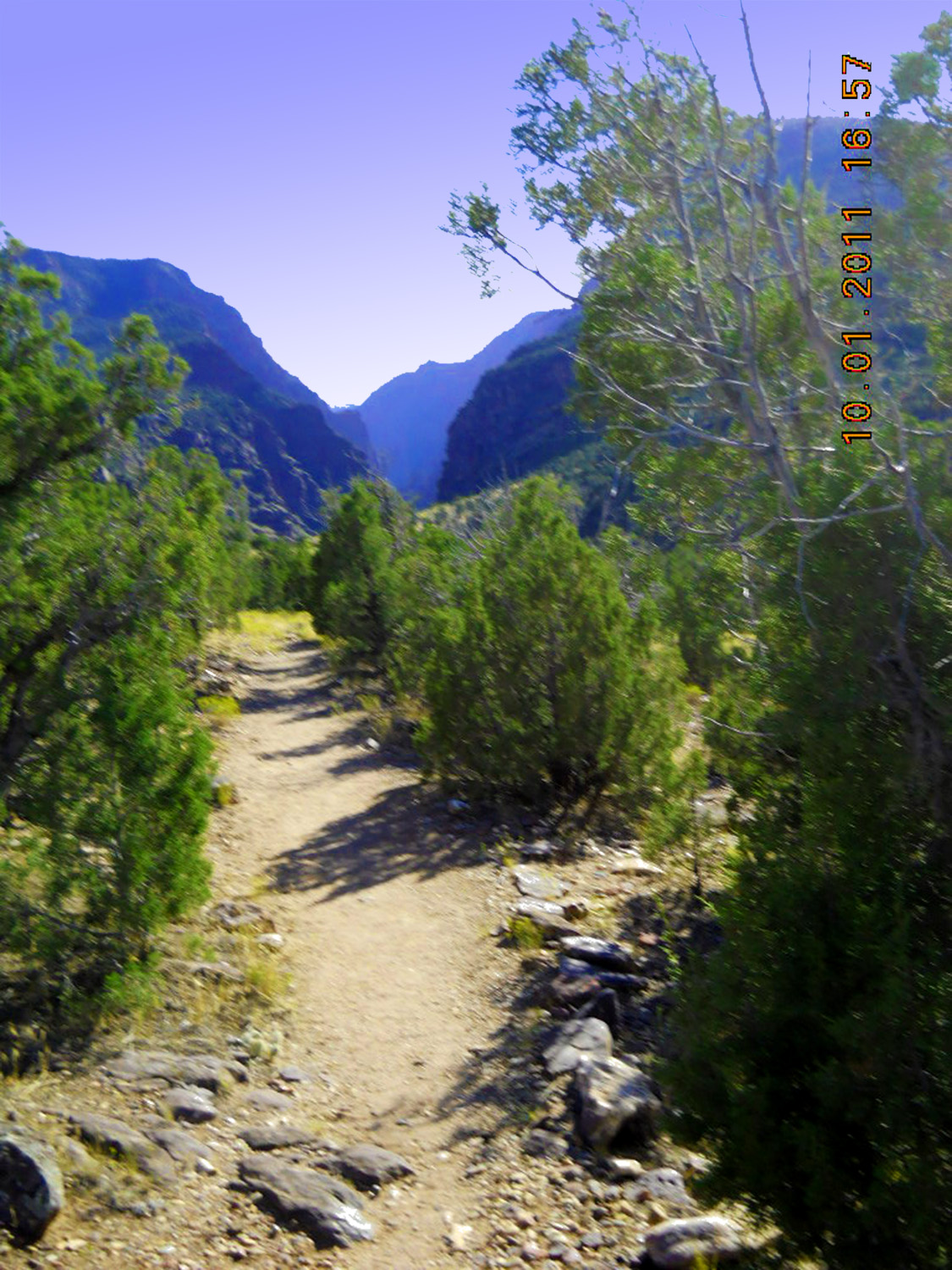
After scrambling along a well-traveled trail
Oct 01 2011 - 4:57 pm
Oct 01 2011 - 4:57 pm
47 / 63
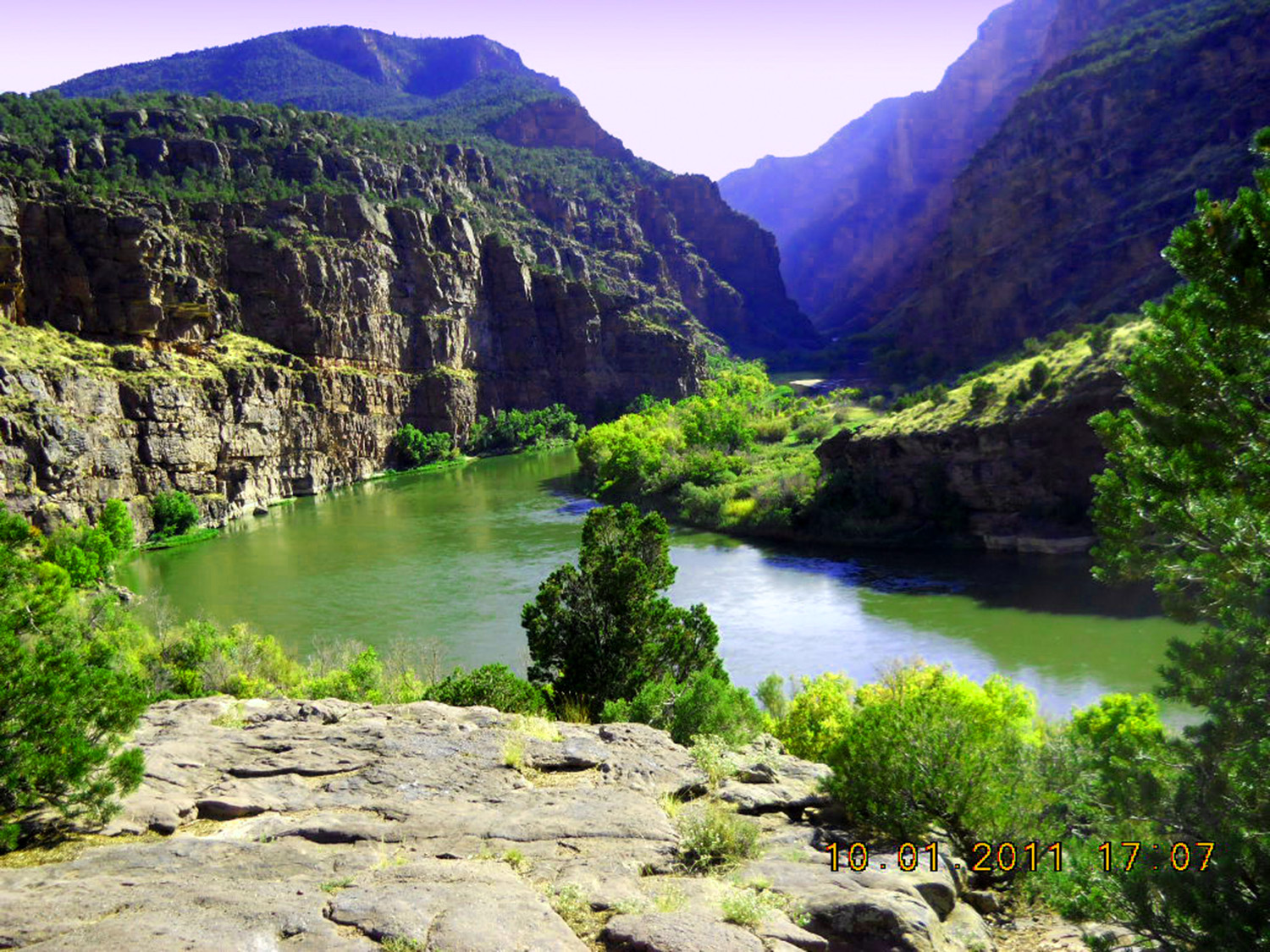
The Gates of Ladore
Oct 01 2011 - 5:07 pm
Oct 01 2011 - 5:07 pm
48 / 63
Back to US 40
Mar 28 2021 - 1:33 pm
Mar 28 2021 - 1:33 pm
49 / 63
Roan Cliffs
Mar 28 2021 - 1:41 pm
Mar 28 2021 - 1:41 pm
50 / 63
Roan Cliffs (wide angle)
Mar 28 2021 - 1:45 pm
Mar 28 2021 - 1:45 pm
51 / 63
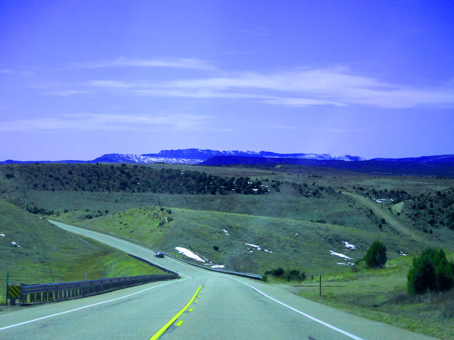
East end of Dinosaur National Monument dead ahead
Mar 28 2021 - 2:00 pm
Mar 28 2021 - 2:00 pm
52 / 63
Side road north
Mar 28 2021 - 1:54 pm
Mar 28 2021 - 1:54 pm
53 / 63
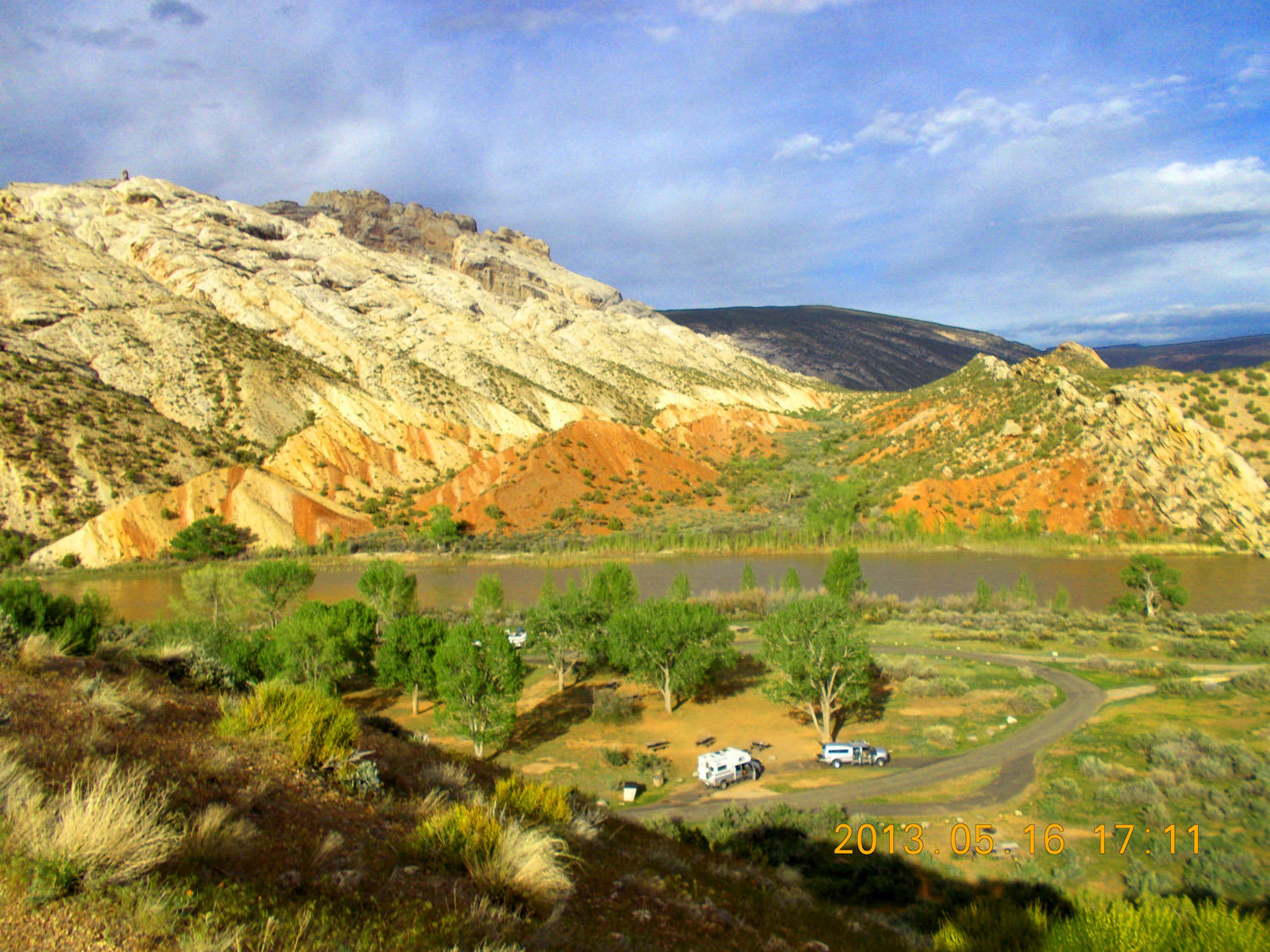
Uplift along the south bounding monocline of Dinosaur National Monument
May 16 2013 - 5:14 pm
May 16 2013 - 5:14 pm
54 / 63
Right to Left (Younger to Older): Jurassic Entrada Sandstone, Triassic Red Beds fading to Permian shales, and Permian Weber Eolian Sandstone
May 16 2013 - 5:11 pm
May 16 2013 - 5:11 pm
55 / 63

Folded Weber Sandstone along the south bounding monocline
May 16 2013 - 7:36 pm
May 16 2013 - 7:36 pm
56 / 63
Back to US 40
Mar 28 2021 - 2:08 pm
Mar 28 2021 - 2:08 pm
57 / 63
Mancos Shale hogbacks along south bounding monocline
Mar 28 2021 - 2:18 pm
Mar 28 2021 - 2:18 pm
58 / 63
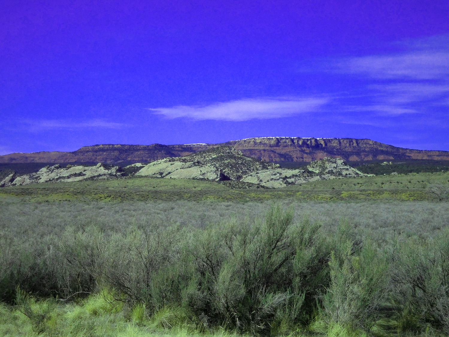
Cretaceous Mesa Verde sandstone hogbacks, flat Triassic Red Beds in background raised in the anticline center
Mar 28 2021 - 2:22 pm
Mar 28 2021 - 2:22 pm
59 / 63
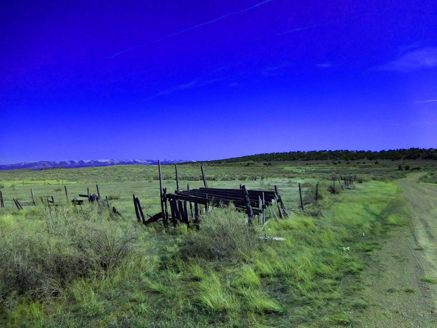
Roan Cliffs over dilapidated loading chute
` Mar 28 2021 - 2:34 pm
` Mar 28 2021 - 2:34 pm
60 / 63
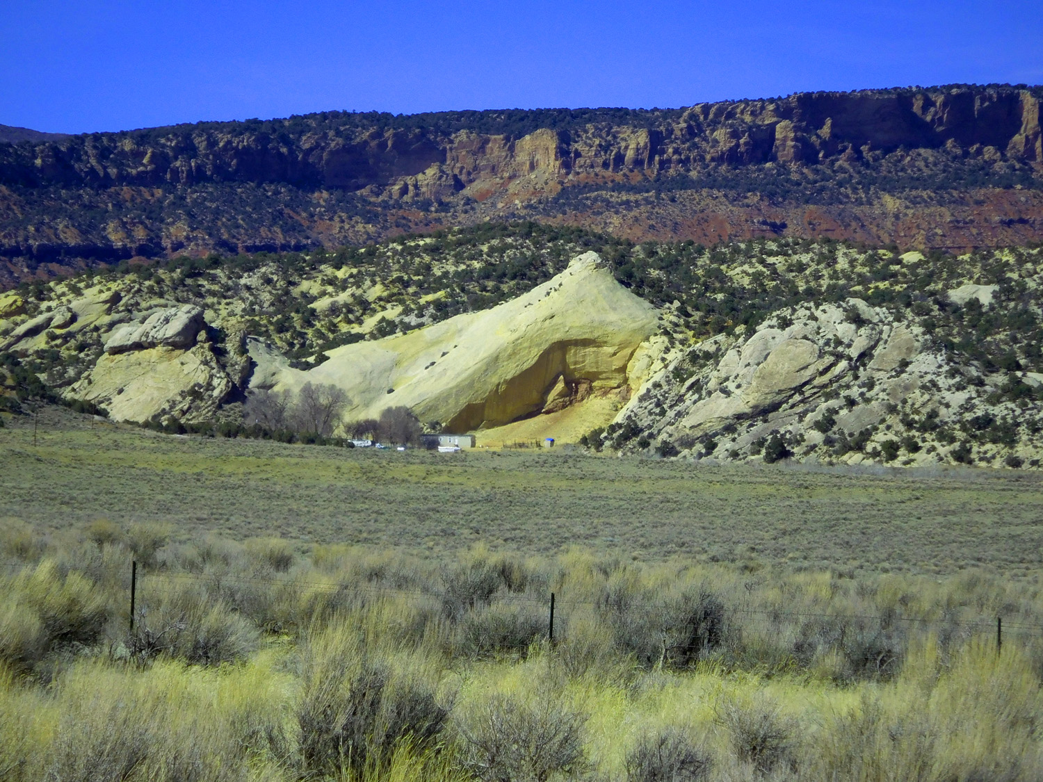
Jurassic Entrada Sandstone and Triassic Red Beds forming the cliffs in the background
Mar 28 2021 - 2:35 pm
Mar 28 2021 - 2:35 pm
61 / 63
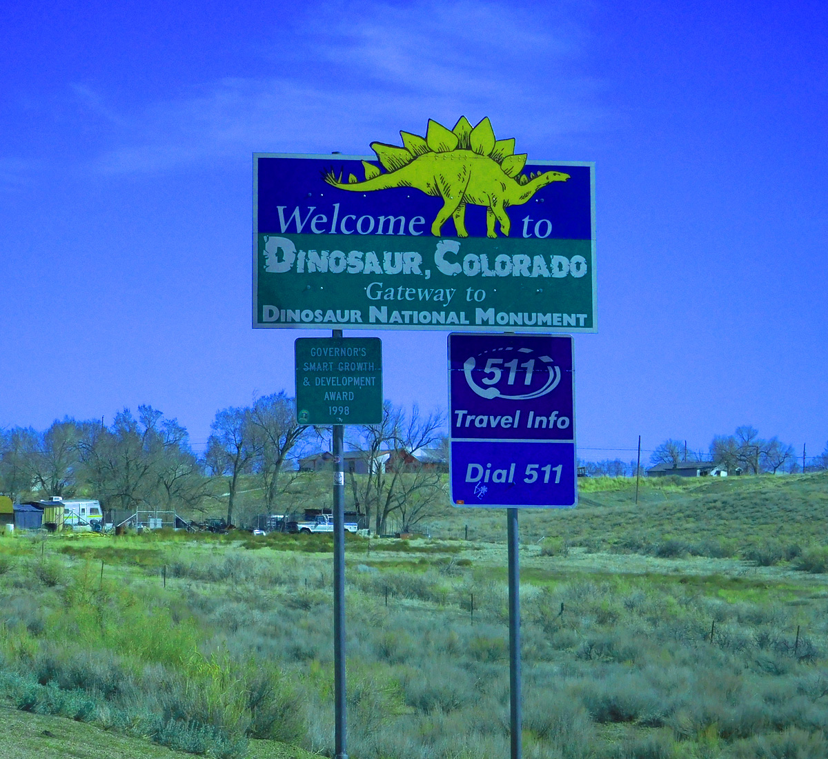
Dinosaur, CO right at the Utah border
Mar 28 2021 - 3:01 pm
Mar 28 2021 - 3:01 pm
62 / 63
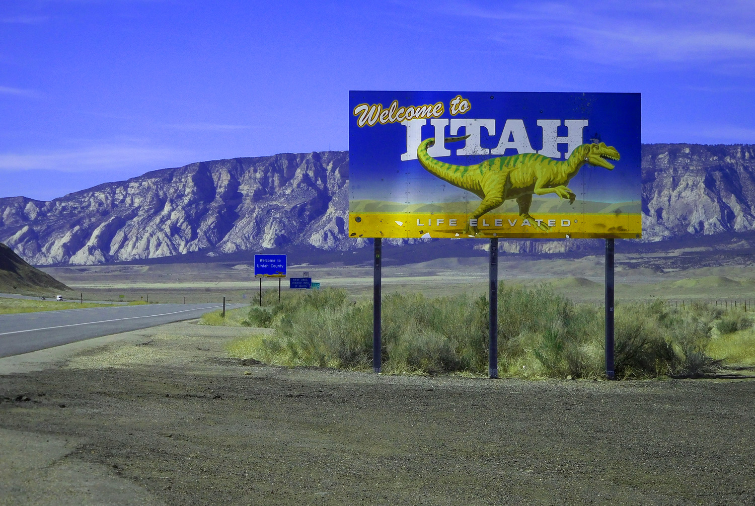
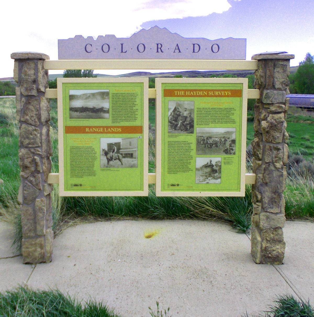
Utah (around the corner)
Mar 28 2021 - 2:56 pm
Mar 28 2021 - 2:56 pm
63 / 63
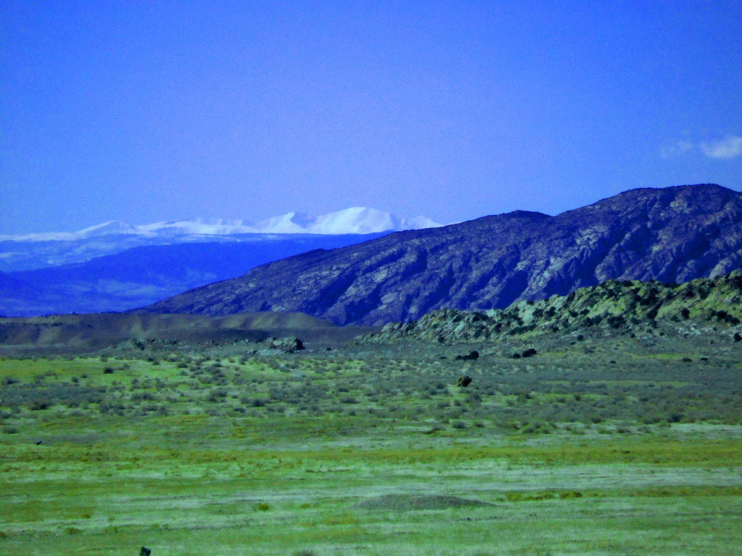
Kings Peak, (13,512') highest peak in the Utah
Mar 28 2021 - 2:53 pm
Mar 28 2021 - 2:53 pm