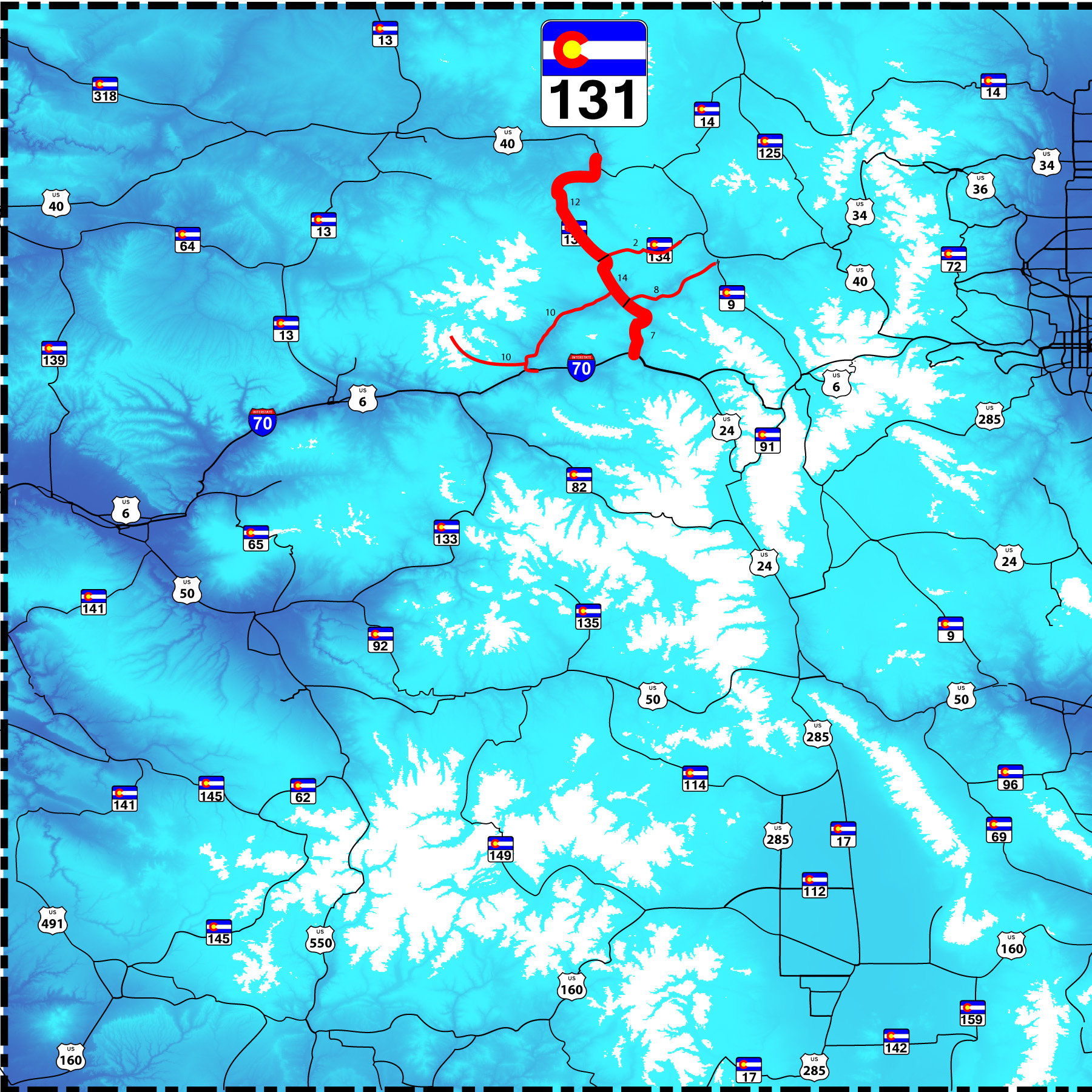
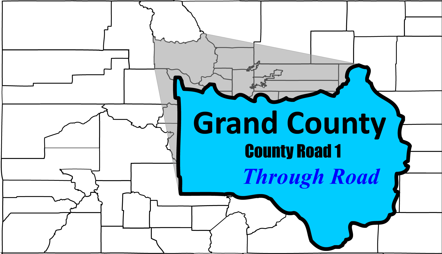
64 slides - 4 side roads: Through Road, Colorado River Road, Coffee Pot Road, and CO 134
mostly of Elk Mountains and Sawatch Range from Flat Tops, Gore Range, Colorado River
Road Index or use your browser "back" arrow or function 30 second cycle: please choose another user-controlled 2 seconds 5 seconds 10 seconds 1 minute
1 / 64
2 / 64
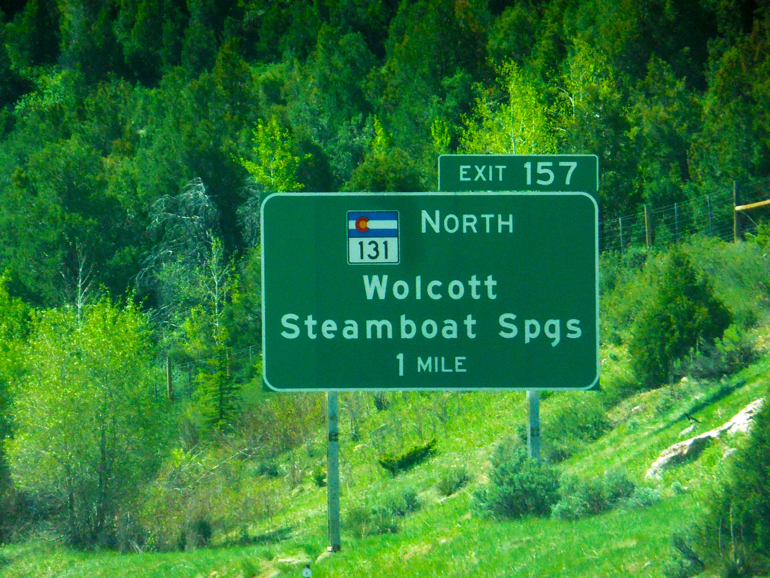
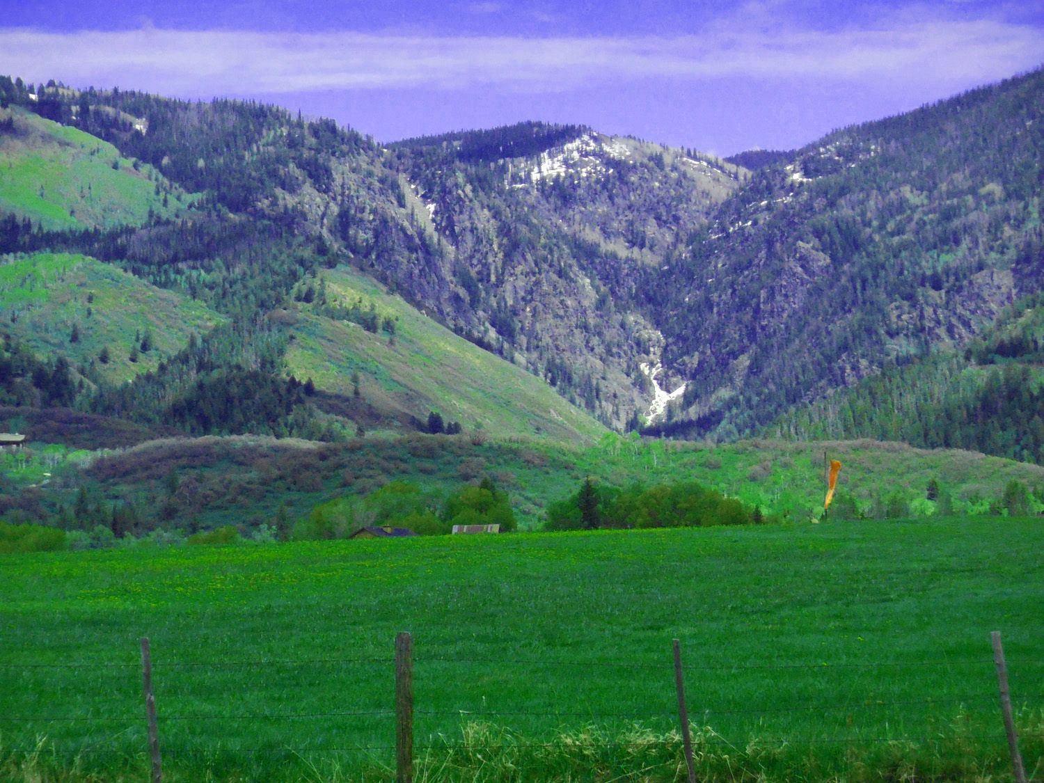
South end of CO 131, I 70 Wolcott Exit
May 20 2020 - 10:06 am
May 20 2020 - 10:06 am
3 / 64
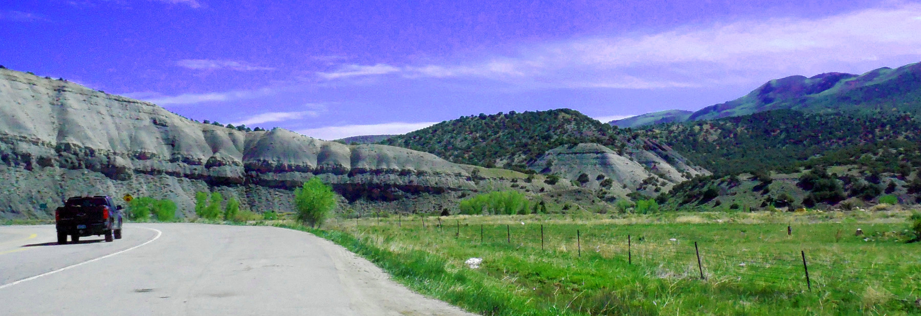
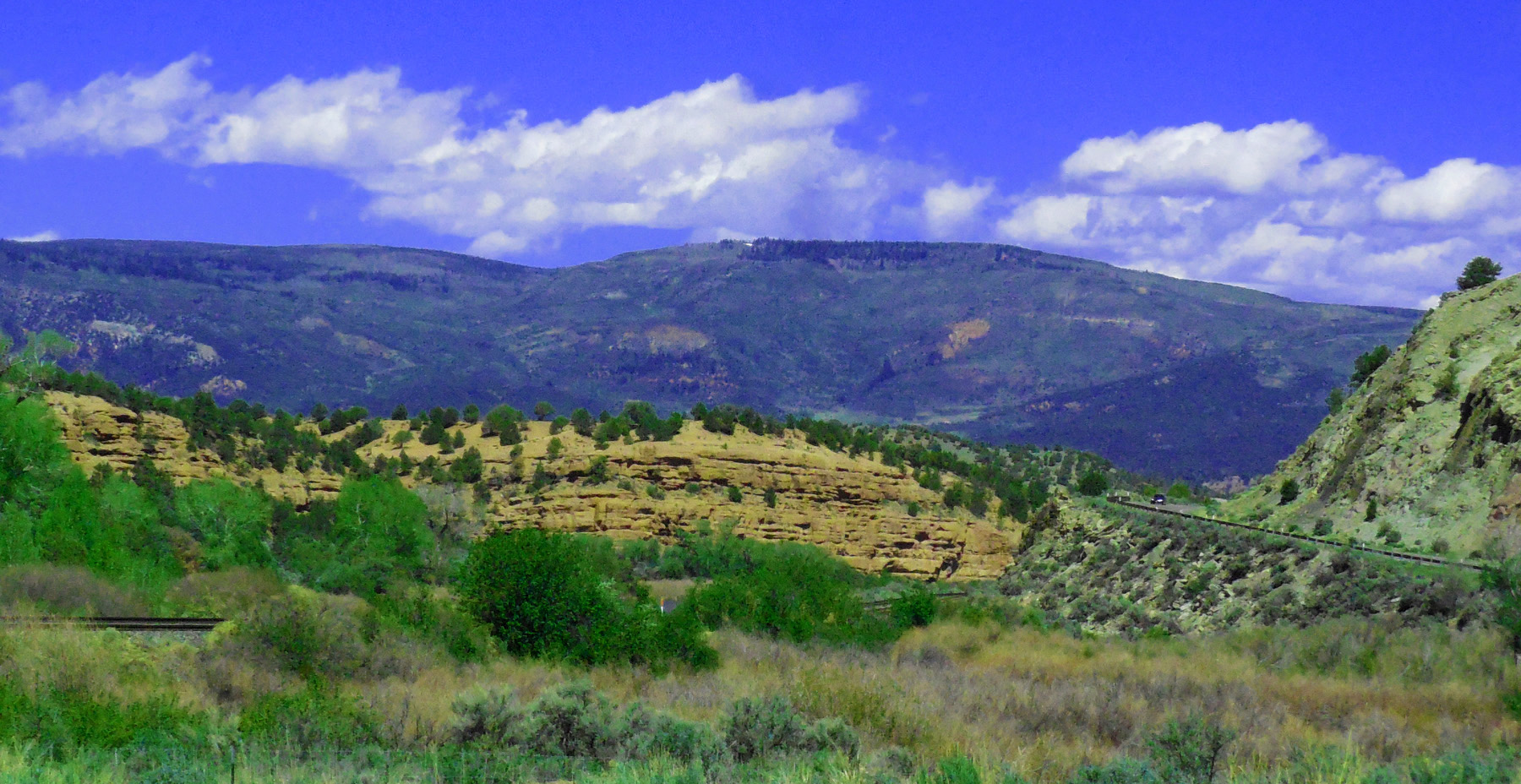
Mancos Shale cliffs along the Eagle River
May 20 2020 - 10:08 am
May 20 2020 - 10:08 am
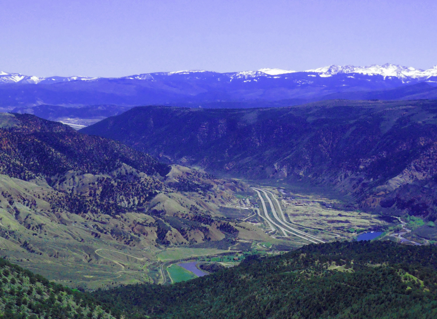
4 / 64
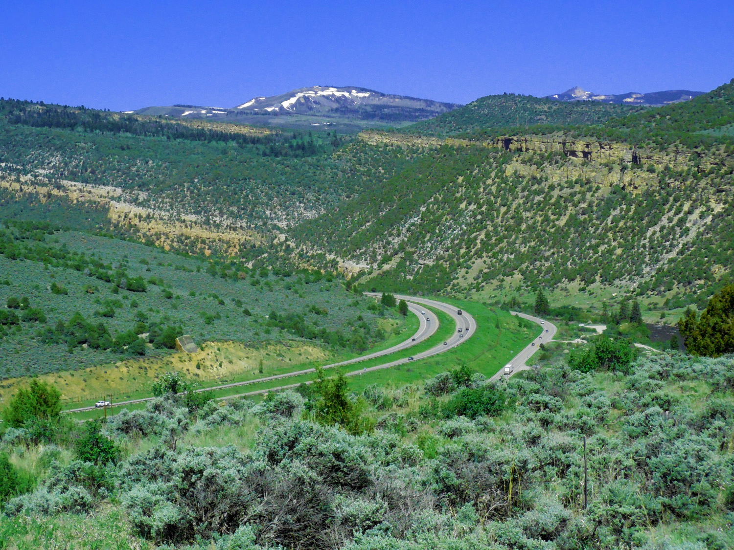
Looking down on I 70 west
May 20 2020 - 10:12 am
May 20 2020 - 10:12 am
5 / 64
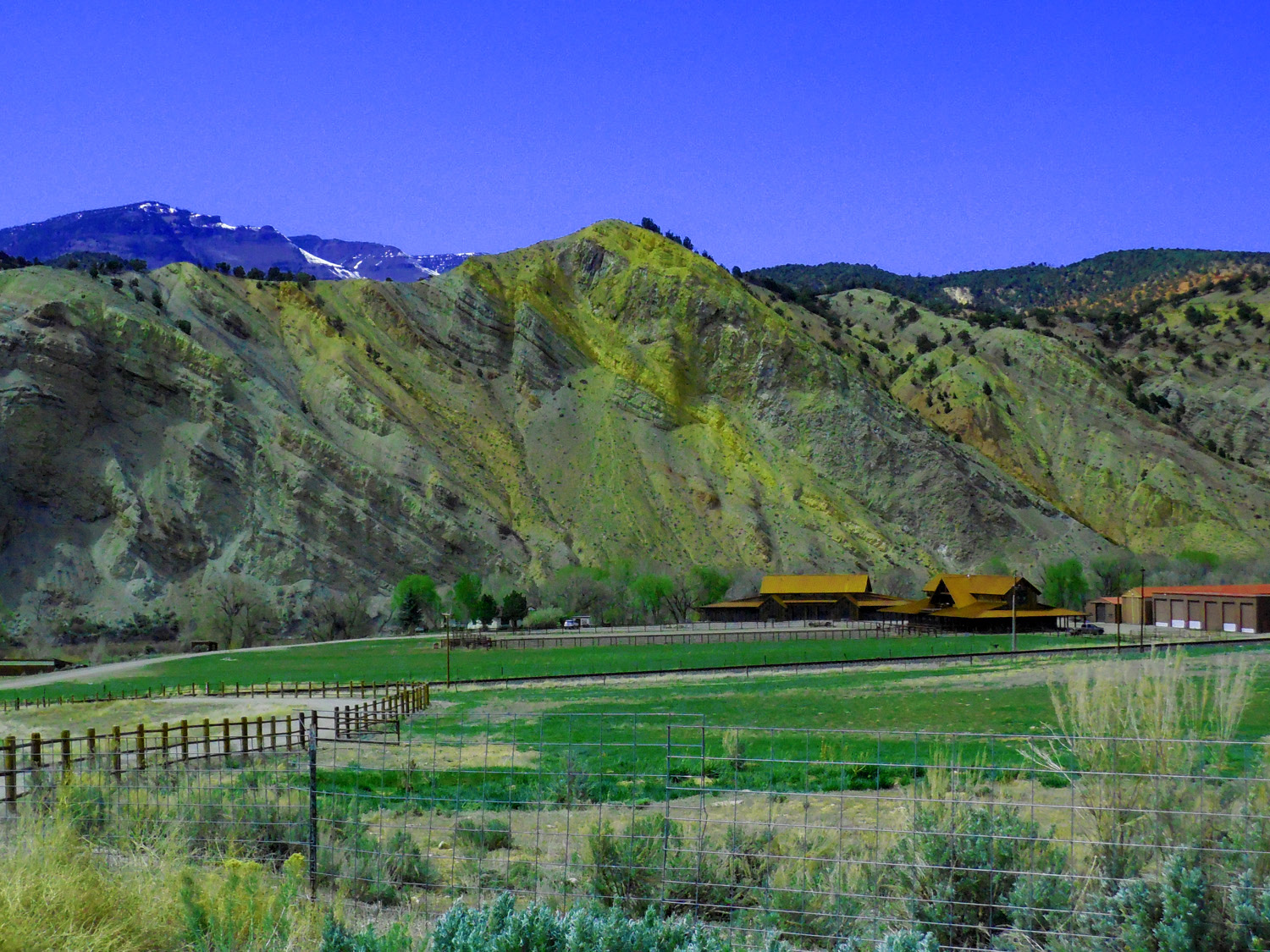
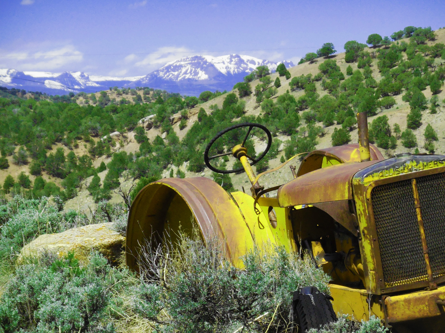
Ranch nestled in the Mancos Shale
May 20 2020 - 10:13 am
May 20 2020 - 10:13 am
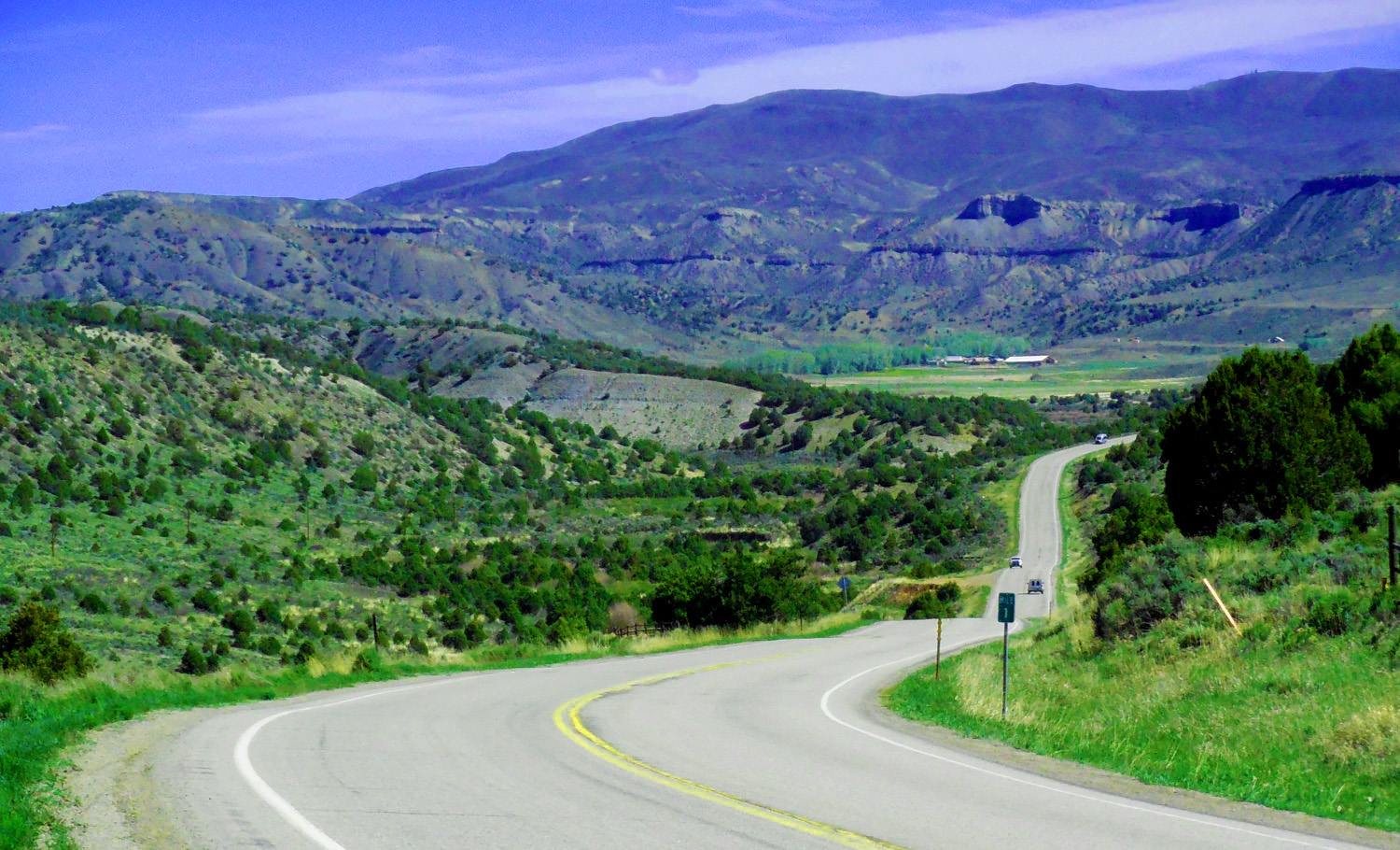
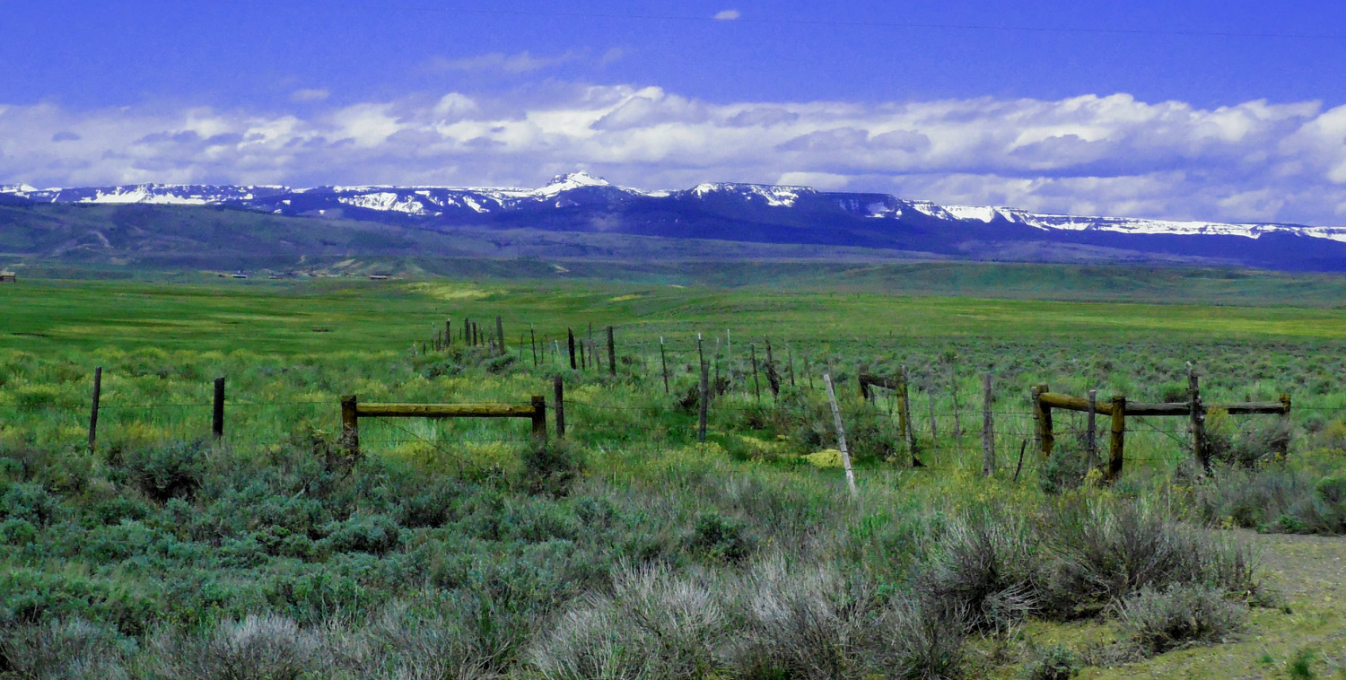
6 / 64
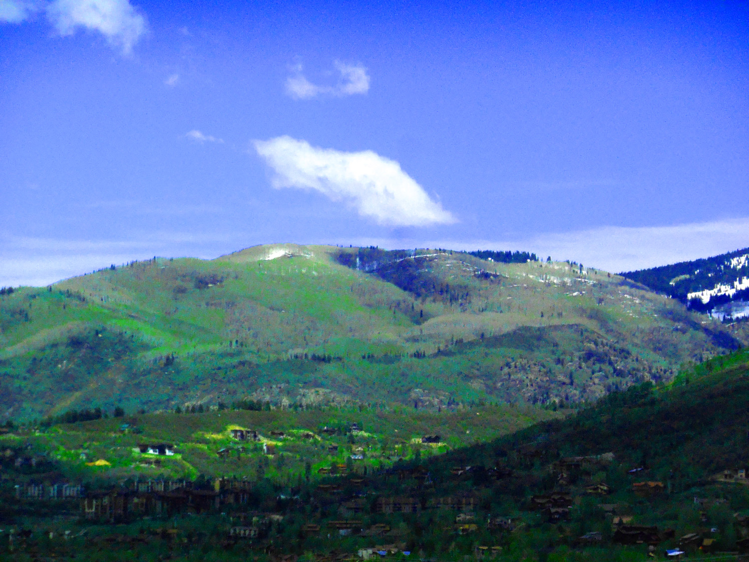
North on CO 131
May 08 2020 - 4:22 pm
May 08 2020 - 4:22 pm
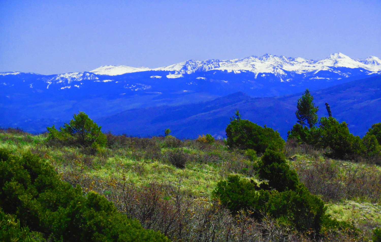
7 / 64
Looking south at the Sawatch Range (Gold Dust Peak 13,365' left)
May 20 2020 - 10:22 pm
May 20 2020 - 10:22 pm
8 / 64
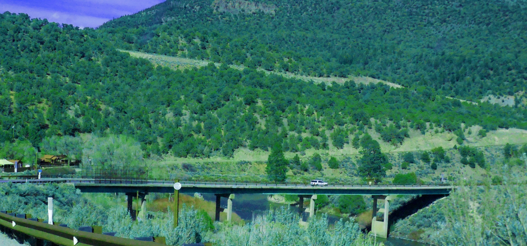
State Bridge over the Colorado River
May 08 2020 - 3:35 am
May 08 2020 - 3:35 am
9 / 64
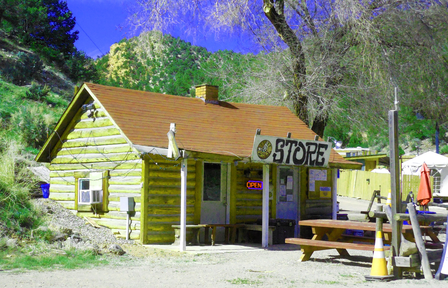
Store at State Bridge (beginning of Through Road) I always buy a cold pop there
May 08 2020 - 3:36 pm
May 08 2020 - 3:36 pm
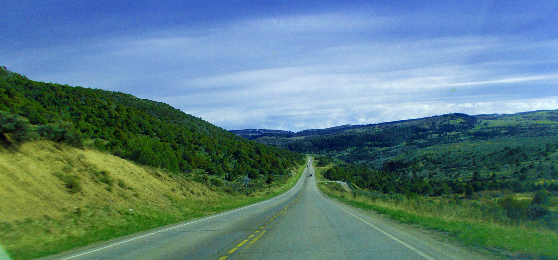
10 / 64
Through Road to Kremmling
11 / 64
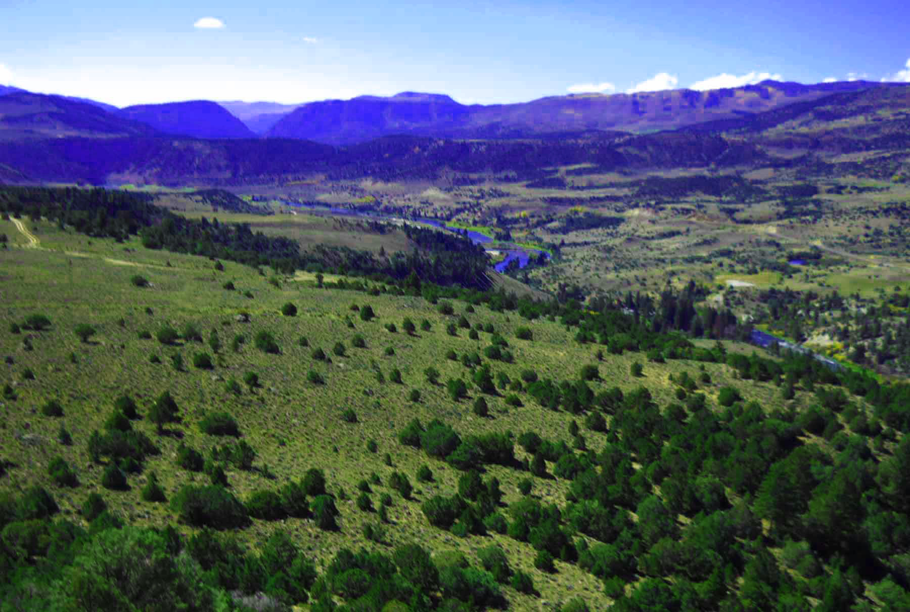
Colorado River flowing out of Gore Canyon
Sep 29 2011 - 2:03 pm
Sep 29 2011 - 2:03 pm
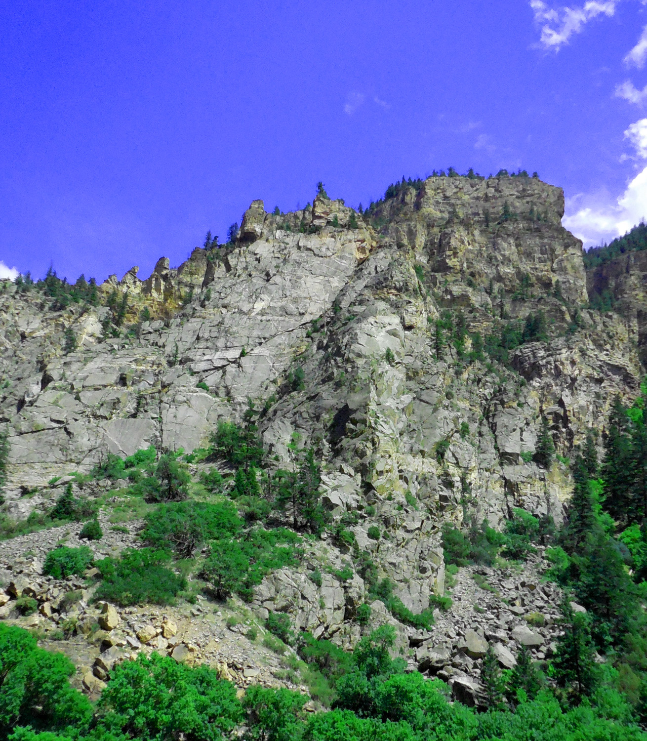
12 / 64
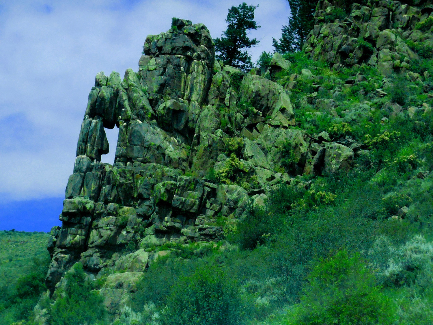
Strange Granite Rocks
Jul 13 2017 - 12:34 pm
Jul 13 2017 - 12:34 pm
13 / 64
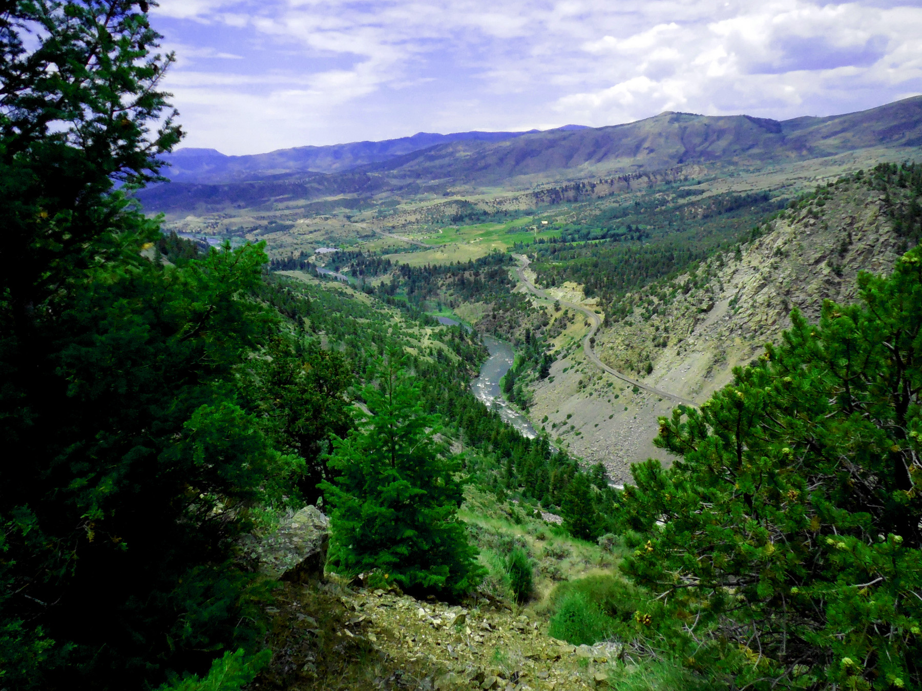
Gore Canyon and the Colorado River
Jul 13 2017 - 12:41 pm
Jul 13 2017 - 12:41 pm
14 / 64
Granite core of the Gore Range
Jul 13 2017 - 2:48 pm
Jul 13 2017 - 2:48 pm
15 / 64
Typical Gore Range near Kremmling
Jul 13 2017 - 1:14 pm
Jul 13 2017 - 1:14 pm
16 / 64
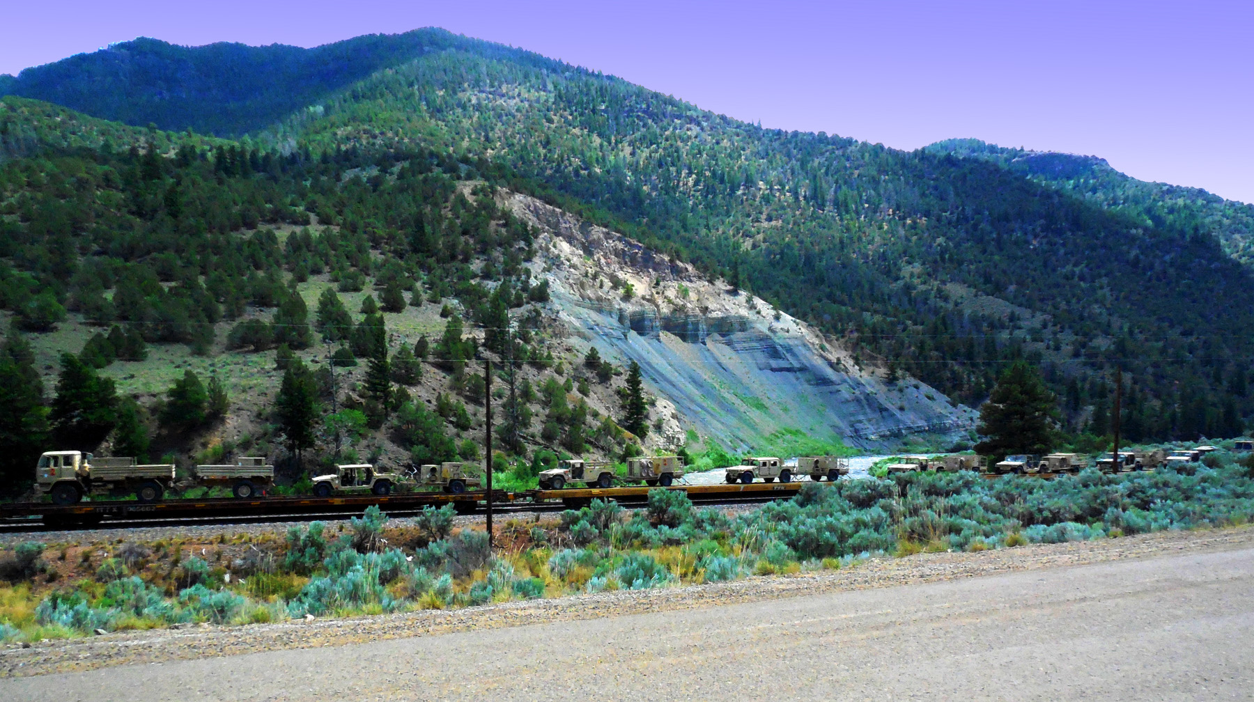
Military Train
Jul 13 2017 - 1:51 pm
Jul 13 2017 - 1:51 pm
17 / 64
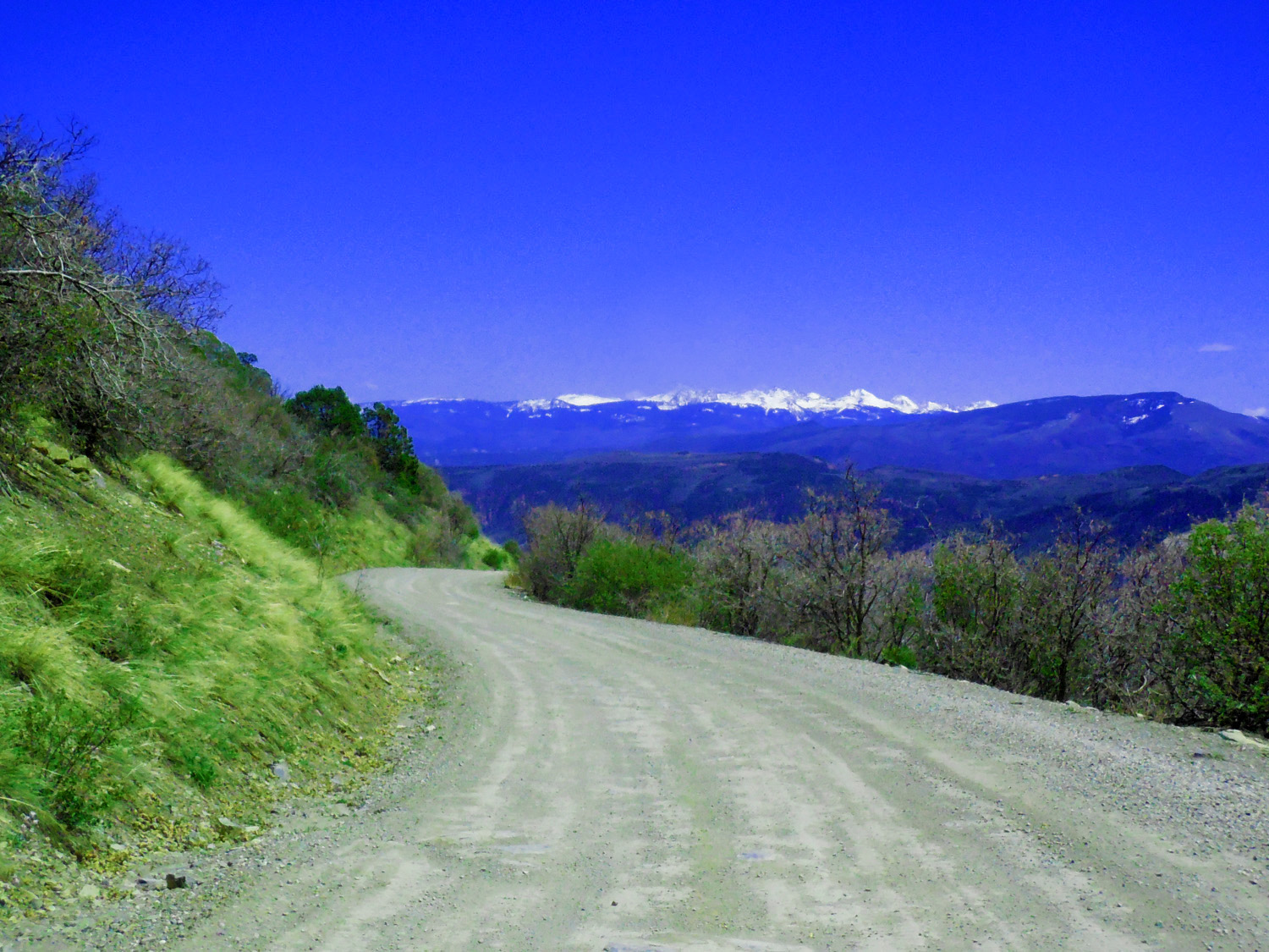
Back to CO 131 north: About 6 miles north of State Bridge turn left at McCoy
May 08 2020 - 3:55 pm
May 08 2020 - 3:55 pm
18 / 64
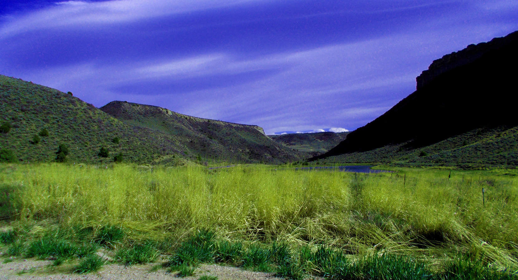
Colorado River Road
19 / 64
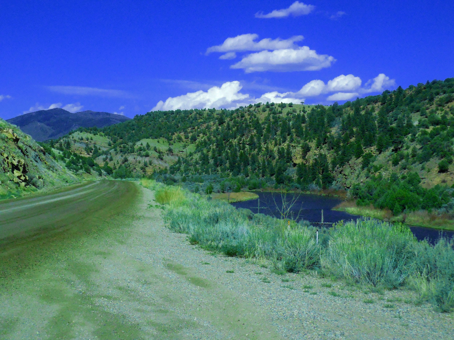
Colorado River Road
May 08 2020 - 3:00 pm
May 08 2020 - 3:00 pm
20 / 64
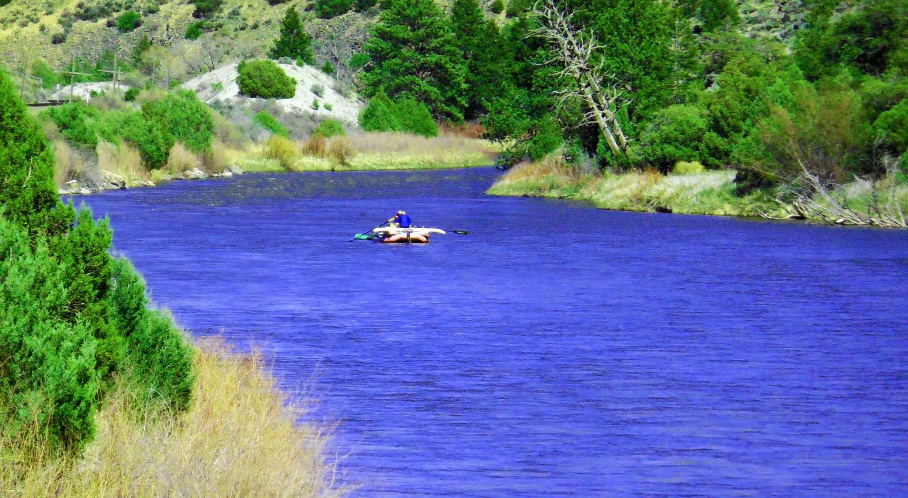
Rafters
May 08 2020 - 2:51 pm
May 08 2020 - 2:51 pm
21 / 64
Colorful Permian Rocks (framed by the Colorado River Ranch gate)
May 08 2020 - 2:08 pm
May 08 2020 - 2:08 pm
22 / 64
Dakota Sandstone Surface leading up to the Flat Tops
May 08 2020 - 2:42 pm
May 08 2020 - 2:42 pm
23 / 64
Derby Peak (12,186 left) and Flat Top Mountain (12,354 right)
May 08 2020 - 2:42 pm
May 08 2020 - 2:42 pm
24 / 64
Blue Colorado River and Red Triassic Rocks
May 08 2020 - 2:14 pm
May 08 2020 - 2:14 pm
25 / 64
Colorful Permain Rocks, Again (we've been following east limb of the Flat Tops anticline)
May 08 2020 - 2:10 pm
May 08 2020 - 2:10 pm
26 / 64
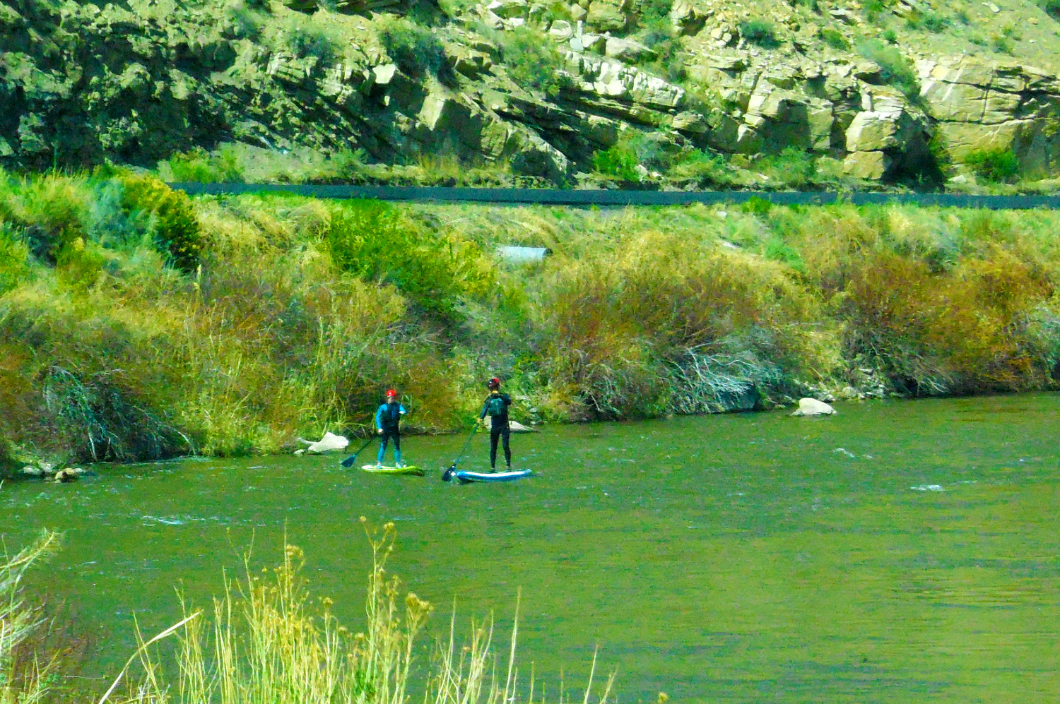
Stand Up Rafters
May 08 2020 - 1:58 pm
May 08 2020 - 1:58 pm
27 / 64
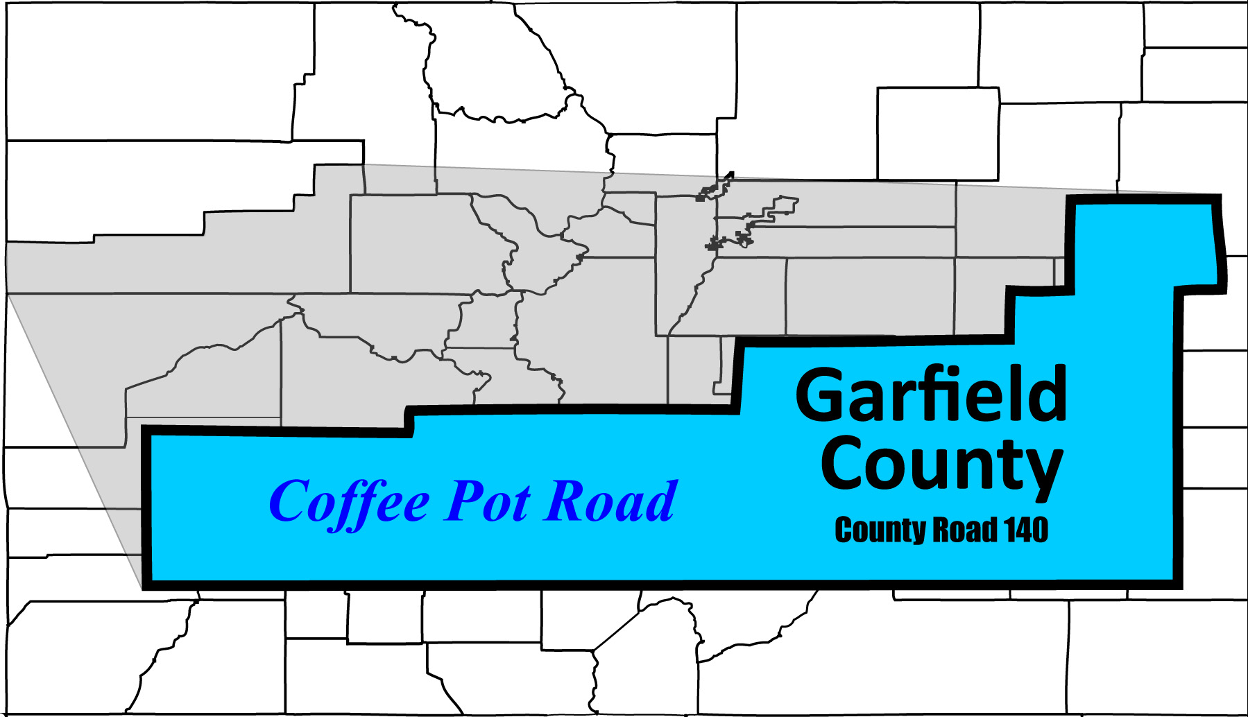
Coffee Pot Road, the only road up onto the Flat Tops
28 / 64
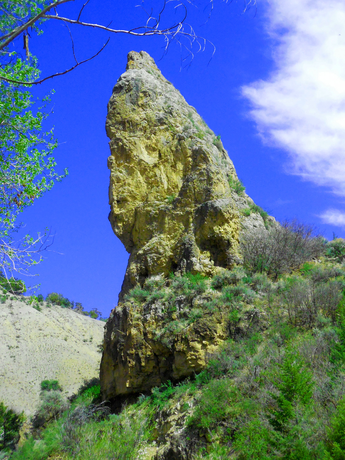
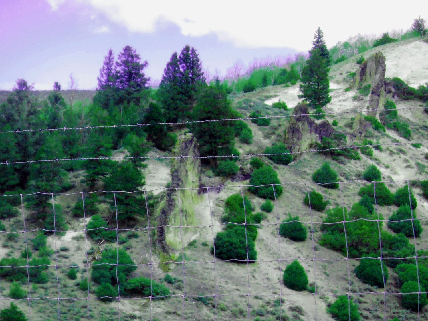
Limestone spire at the switchback
May 08 2020 - 1:39 pm
May 08 2020 - 1:39 pm
29 / 64
Looking down on I 70 and the Eagle River Valley(Sawatch Range in background)
May 08 2020 - 10:45 am
May 08 2020 - 10:45 am
30 / 64
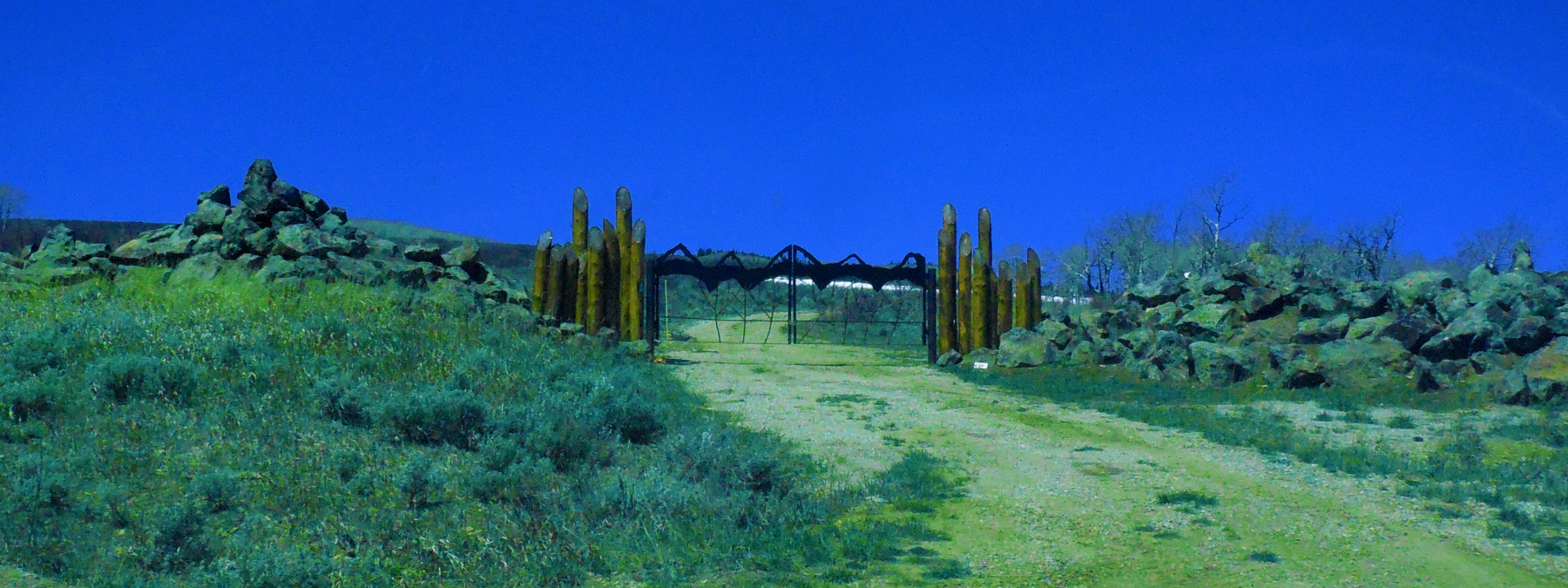
Ranch gate on top of the Flat Tops (here characterized by flat Paleozoic rocks, overlain by the collected basalt)
May 08 2020 - 11:01 am
May 08 2020 - 11:01 am
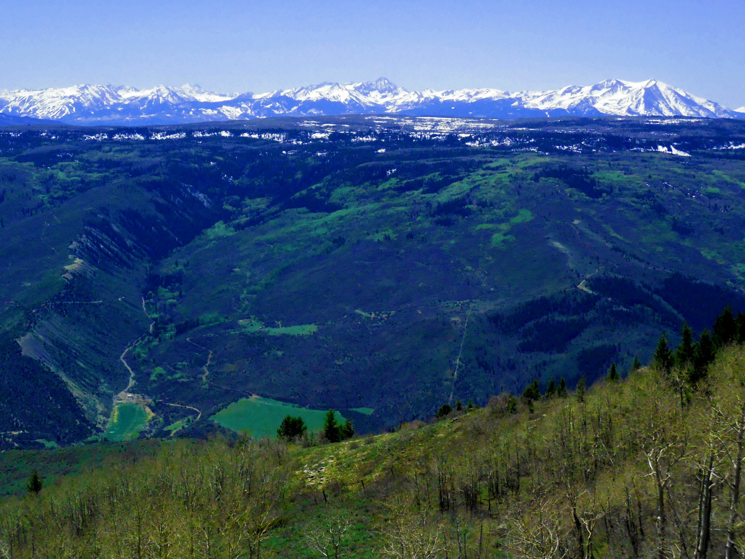
31 / 64

180 degree panorama from Flat Tops to Grand Mesa emphasizing the Sawatch and Elk Mountains
May 08 2020 - 11:12 am
May 08 2020 - 11:12 am
32 / 64
Sawatch Range (Mt. Elbert (14,433' highest in Colorado) next to Mt. Massive (14,421 2nd highest)
May 08 2020 - 11:14 am
May 08 2020 - 11:14 am
33 / 64
Elk Mountains (Capitol Peak (14,130' right), Snowmass Mountain (14,092' center) and Maroon Peaks and Pyramid Peak (14,156', 14,014' and 14,018')
May 08 2020 - 11:13 am
May 08 2020 - 11:13 am
34 / 64
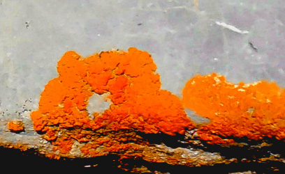
Lichen on limestone
May 08 2020 - 11:16 am
May 08 2020 - 11:16 am
35 / 64
Coffee Pot Road (Mt. Elbert-Mt. Massive in background, what geologists call a massif)
May 08 2020 - 1:03 pm
May 08 2020 - 1:03 pm
36 / 64
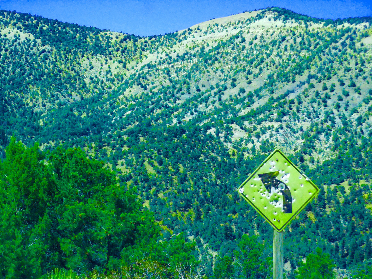
Sure sign of back county, twisty roads
May 08 2020 - 1:24 pm
May 08 2020 - 1:24 pm
37 / 64
Back to CO 131 north
May 20 2020 - 10:50 am
May 20 2020 - 10:50 am
38 / 64
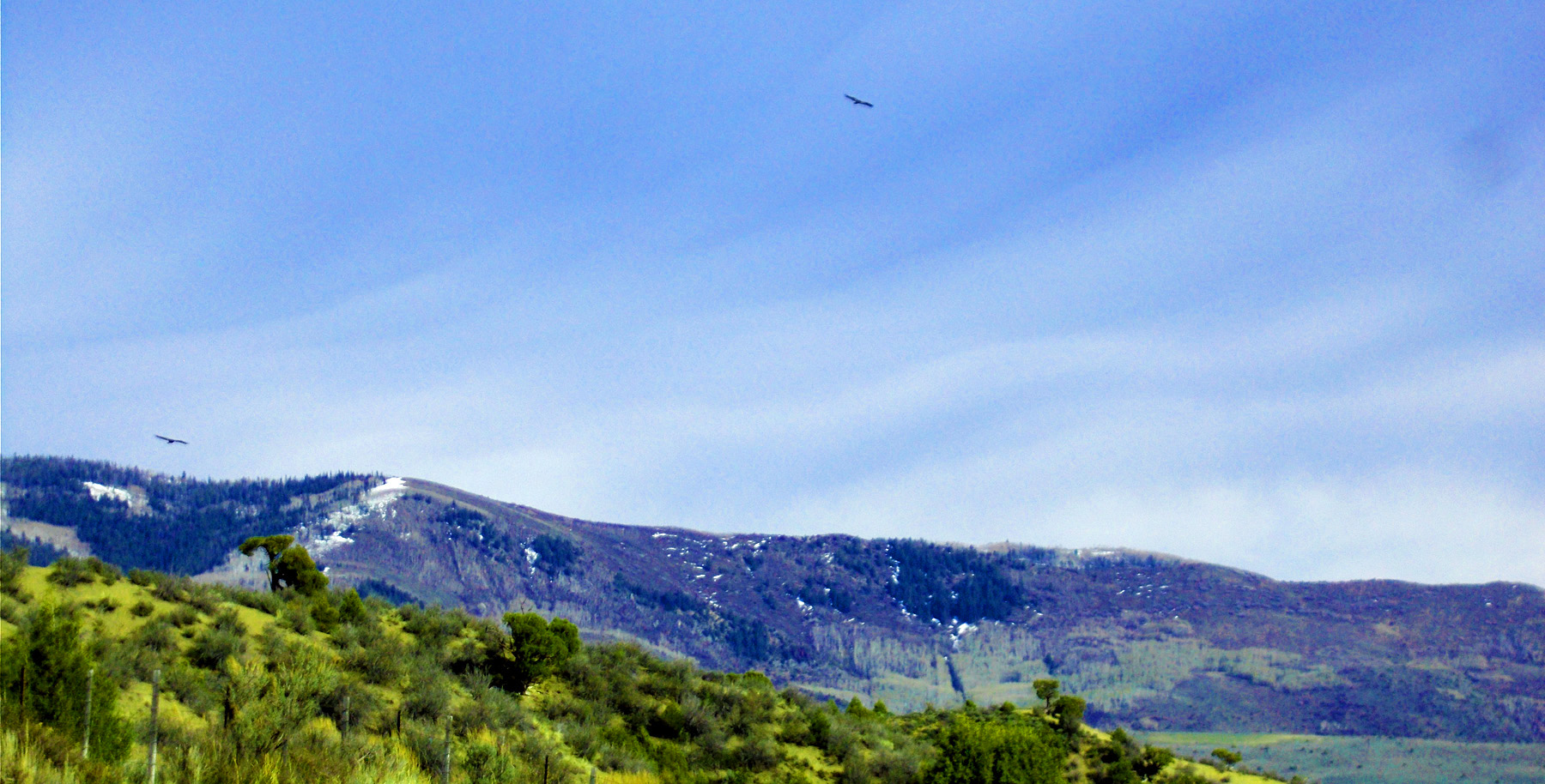
A pair of eagles (you can tell they're eagles by size and flat wings)
May 08 2020 - 5:08 pm
May 08 2020 - 5:08 pm
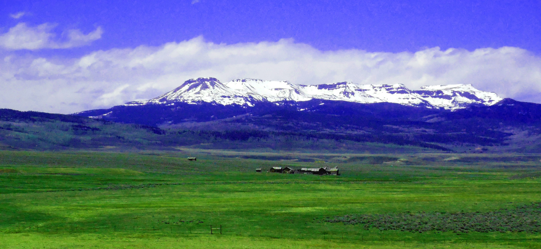
39 / 64
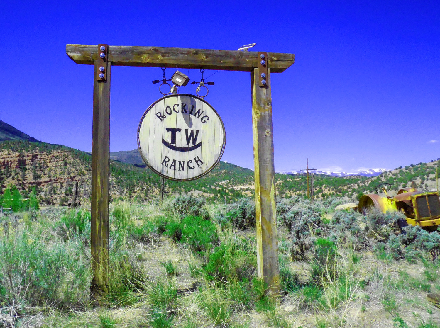
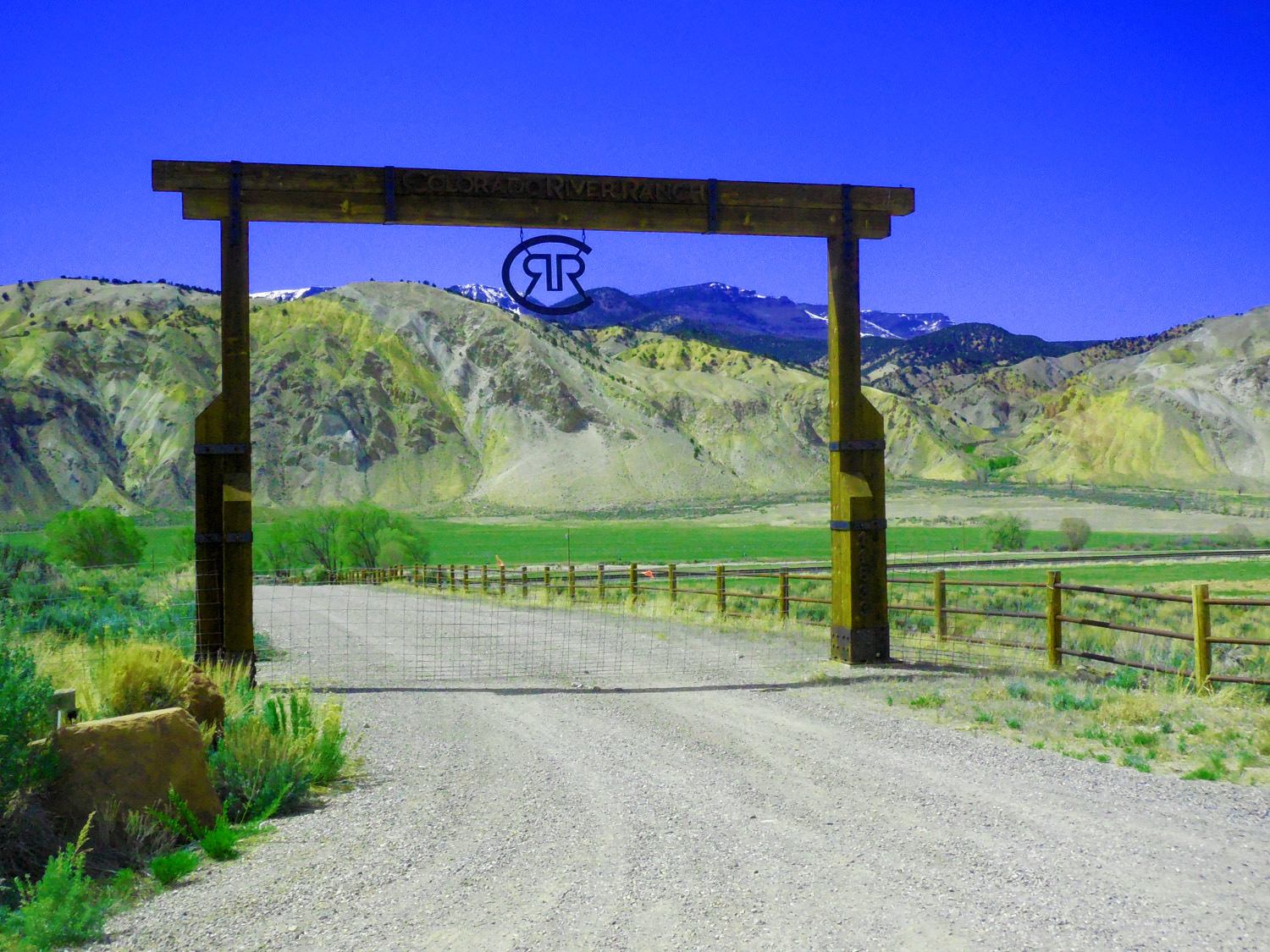
Ranch entry
May 20 2020 - 11:04 am
May 20 2020 - 11:04 am
40 / 64
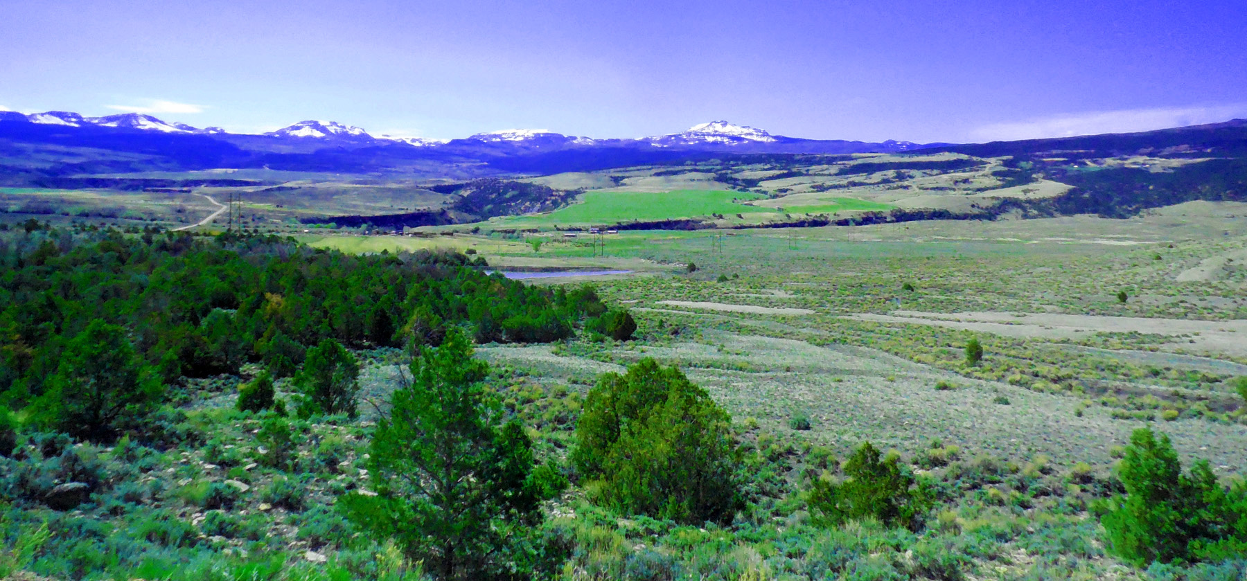
Close up (Flat Tops in background)
May 20 2020 - 11:04 am
May 20 2020 - 11:04 am
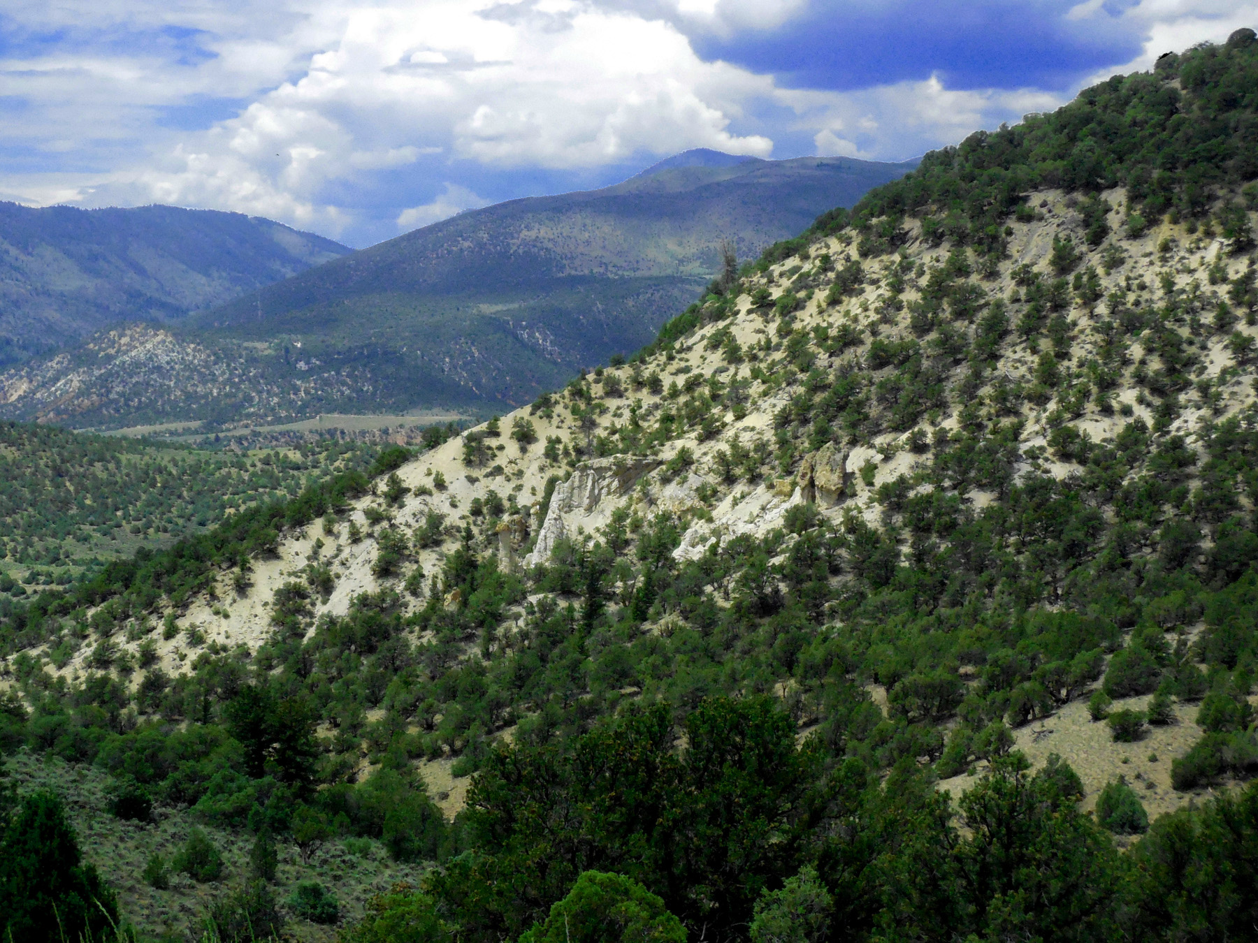
41 / 64
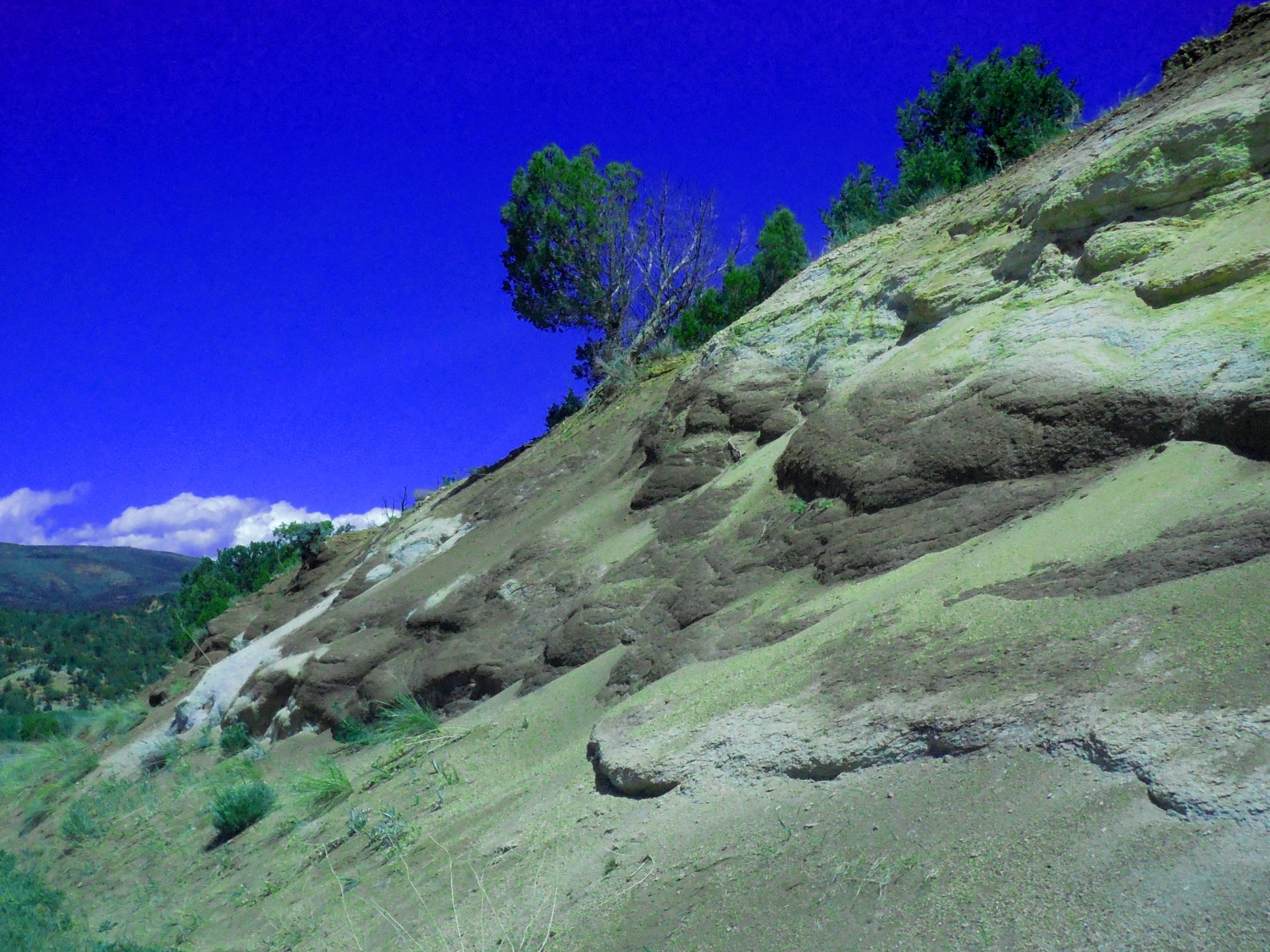
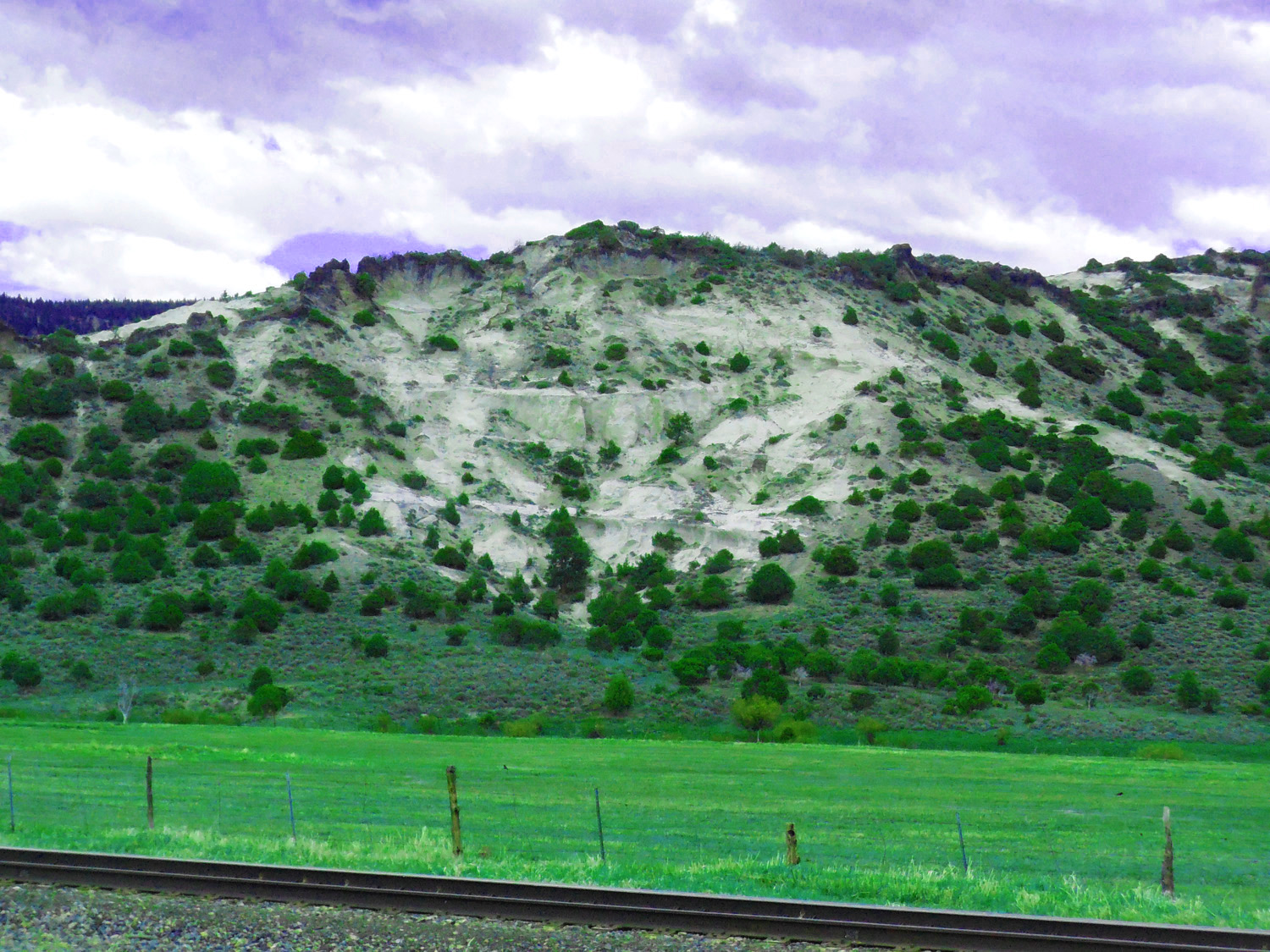
Volcanic ash
May 20 2020 - 11:06 am
May 20 2020 - 11:06 am
42 / 64
Rock Creek where it meets the Colorado River (divide into Yampa River basin is at Toponas)
May 20 2020 - 11:10 am
May 20 2020 - 11:10 am
43 / 64
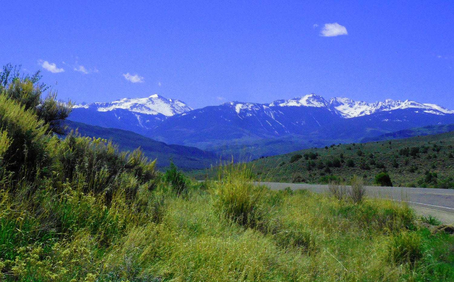
One last look back at the Sawatch Range from the pass
May 20 2020 - 11:33 am
May 20 2020 - 11:33 am
44 / 64
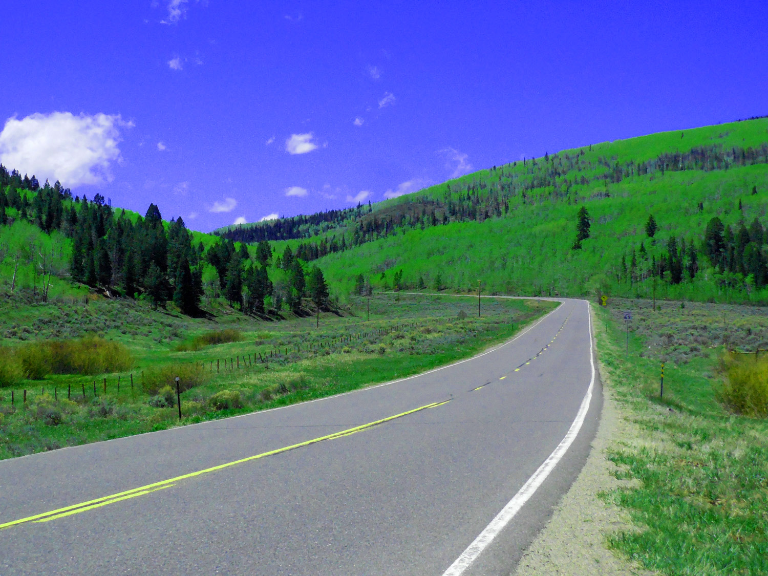
Over a pass between branches of Egeria Creek
May 20 2020 - 11:36 am
May 20 2020 - 11:36 am
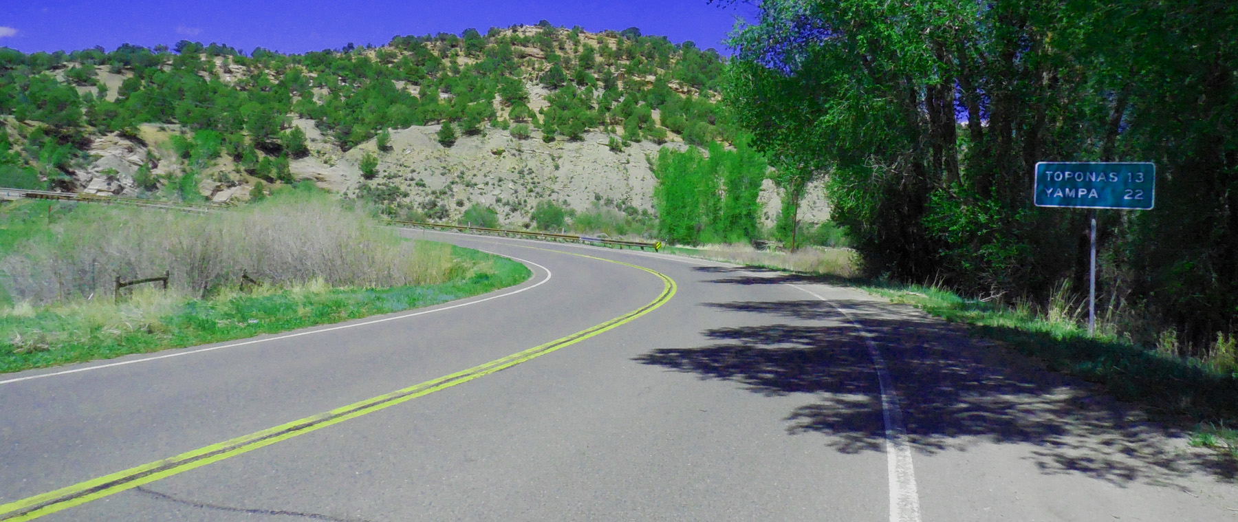
45 / 64
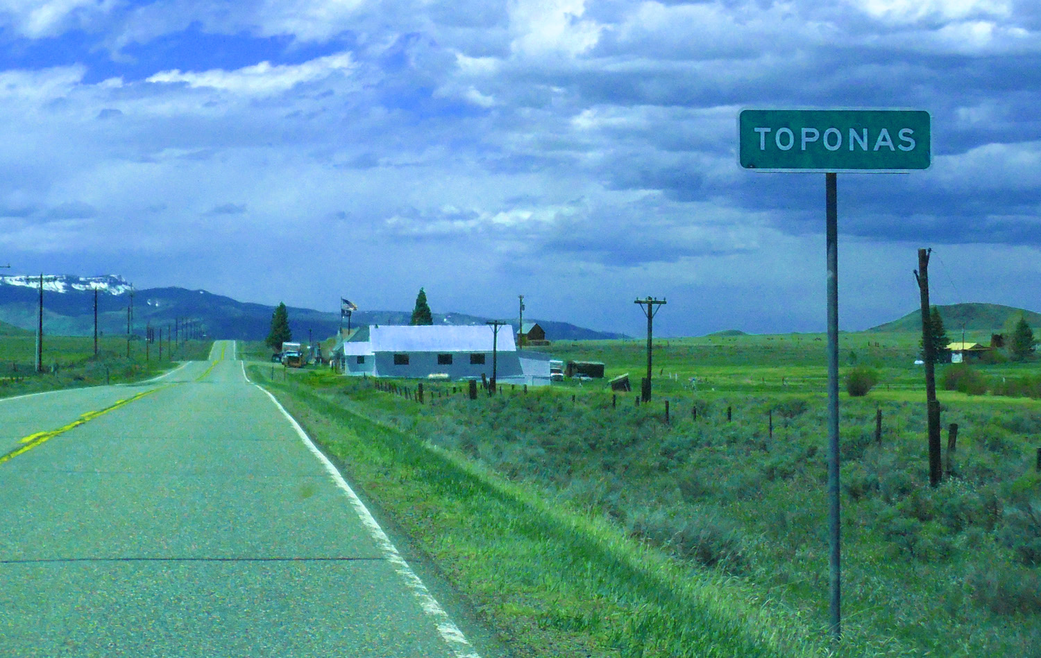
Toponas (pass between the Colorado and Yampa drainage basins)
May 20 2020 - 1:02 pm
May 20 2020 - 1:02 pm
46 / 64
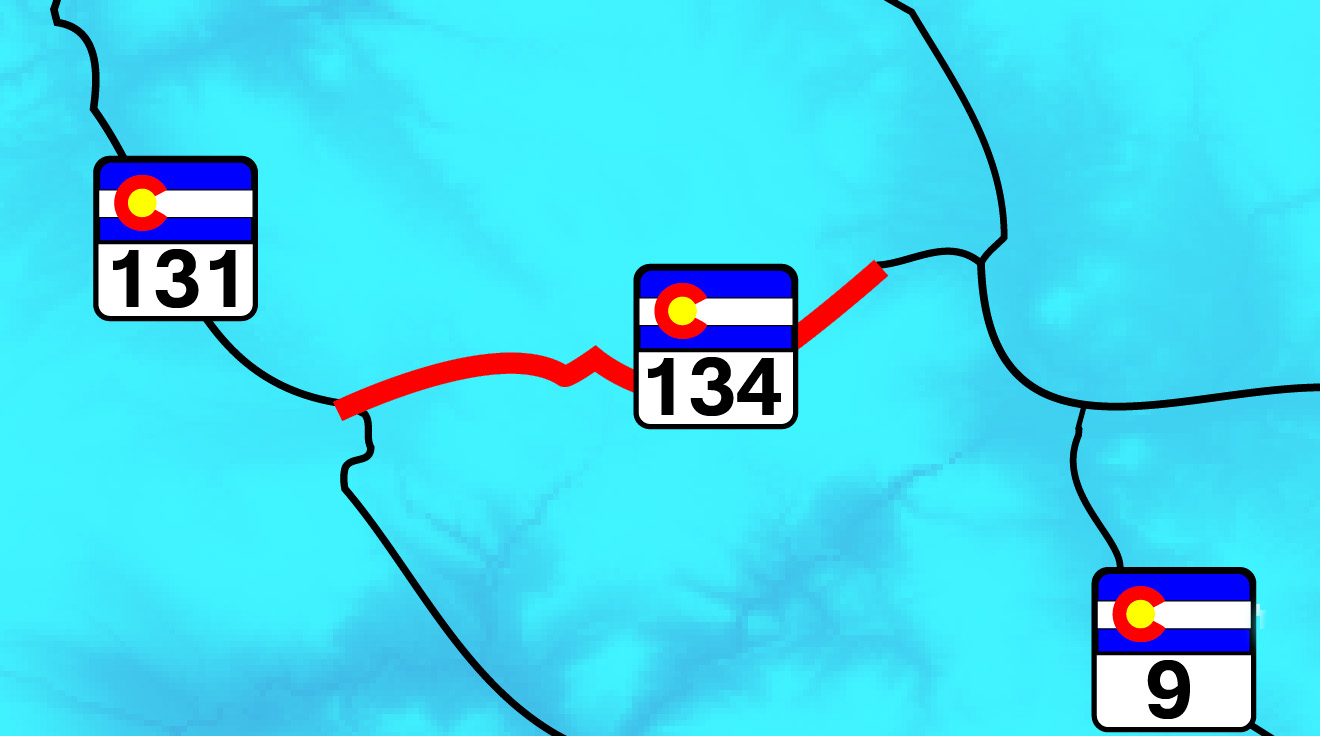
East on CO 134 to Gore Pass
47 / 64
Rabbit Ears Range from CO 134
May 20 2020 - 1:43 pm
May 20 2020 - 1:43 pm
48 / 64
The only views were along cleared power lines (tree tunnels all the way)
May 20 2020 - 1:50 pm
May 20 2020 - 1:50 pm
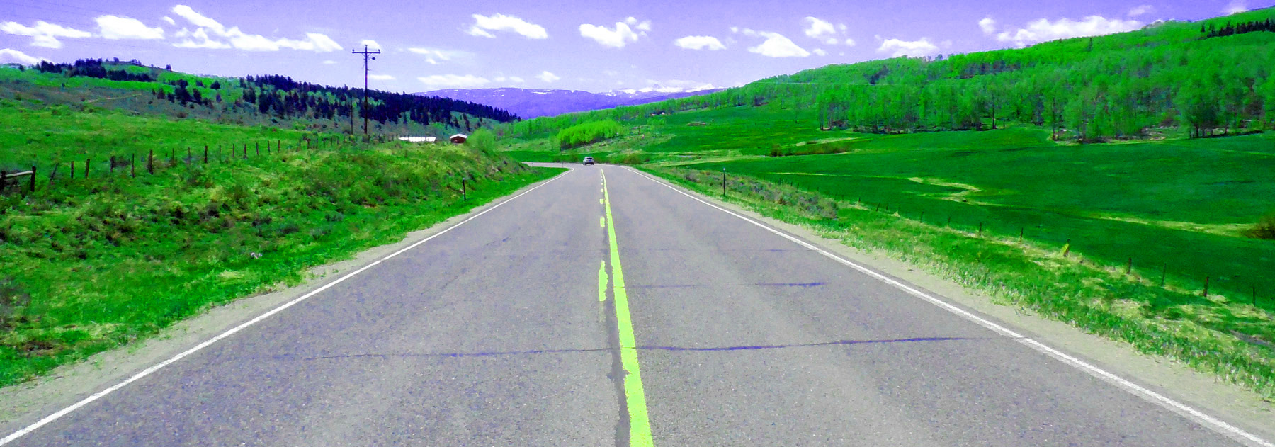
49 / 64
Back to CO 131, Upper Yampa Valley
May 20 2020 - 11:41 am
May 20 2020 - 11:41 am
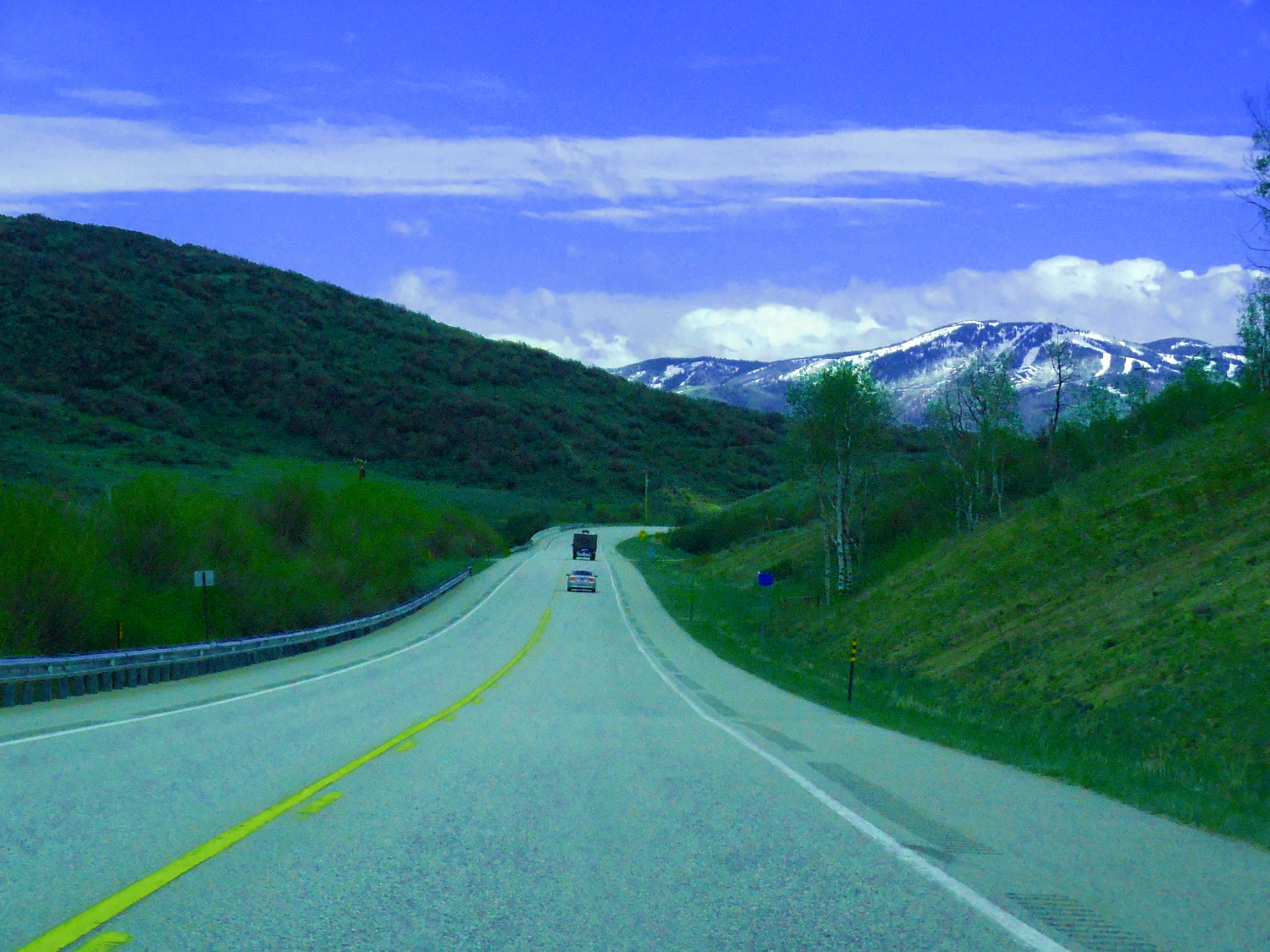
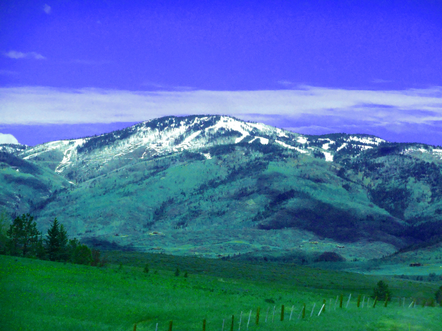
50 / 64
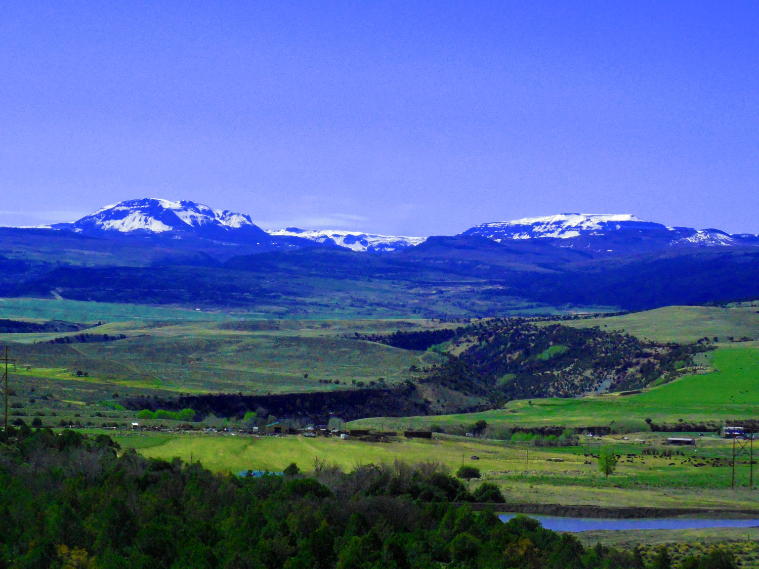
Flat Tops (Orno Peak, 12,133' center)
May 20 2020 - 11:48 am
May 20 2020 - 11:48 am
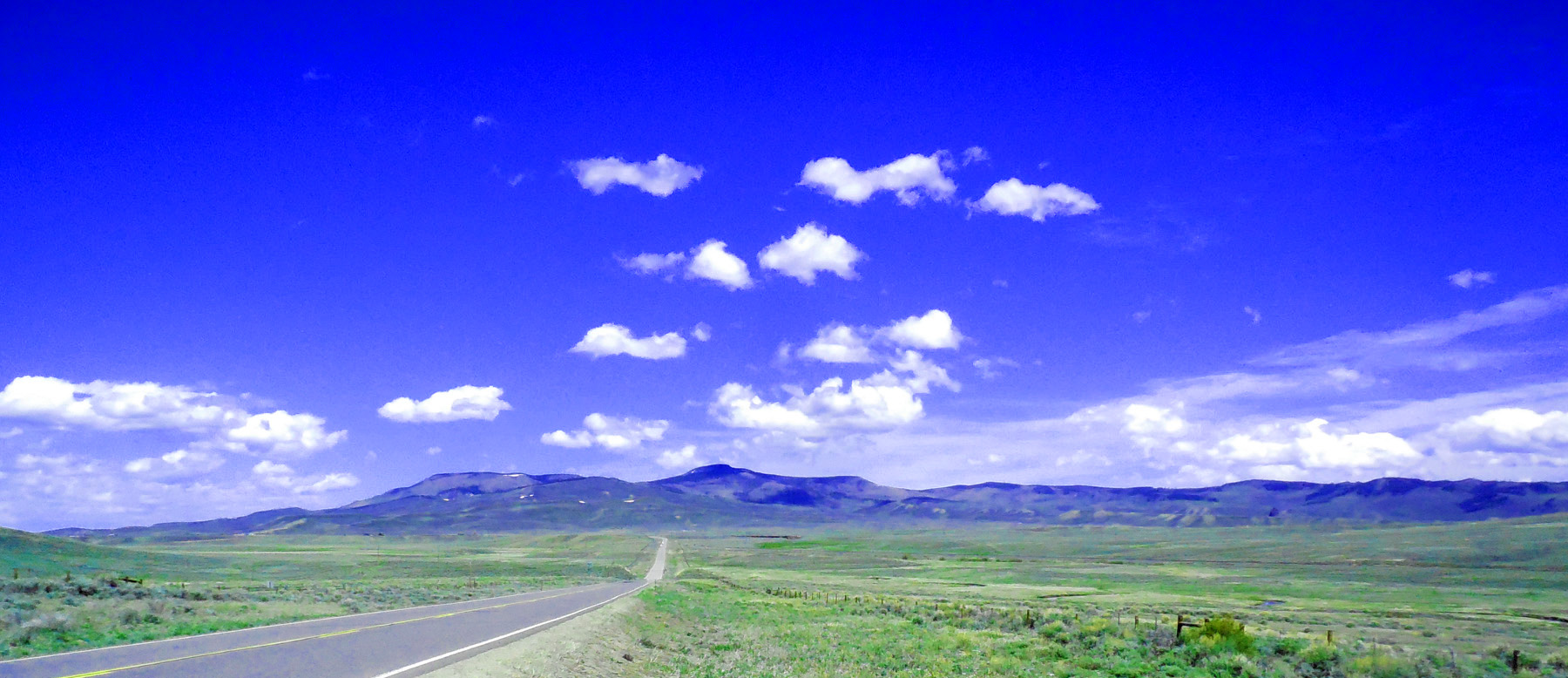
51 / 64
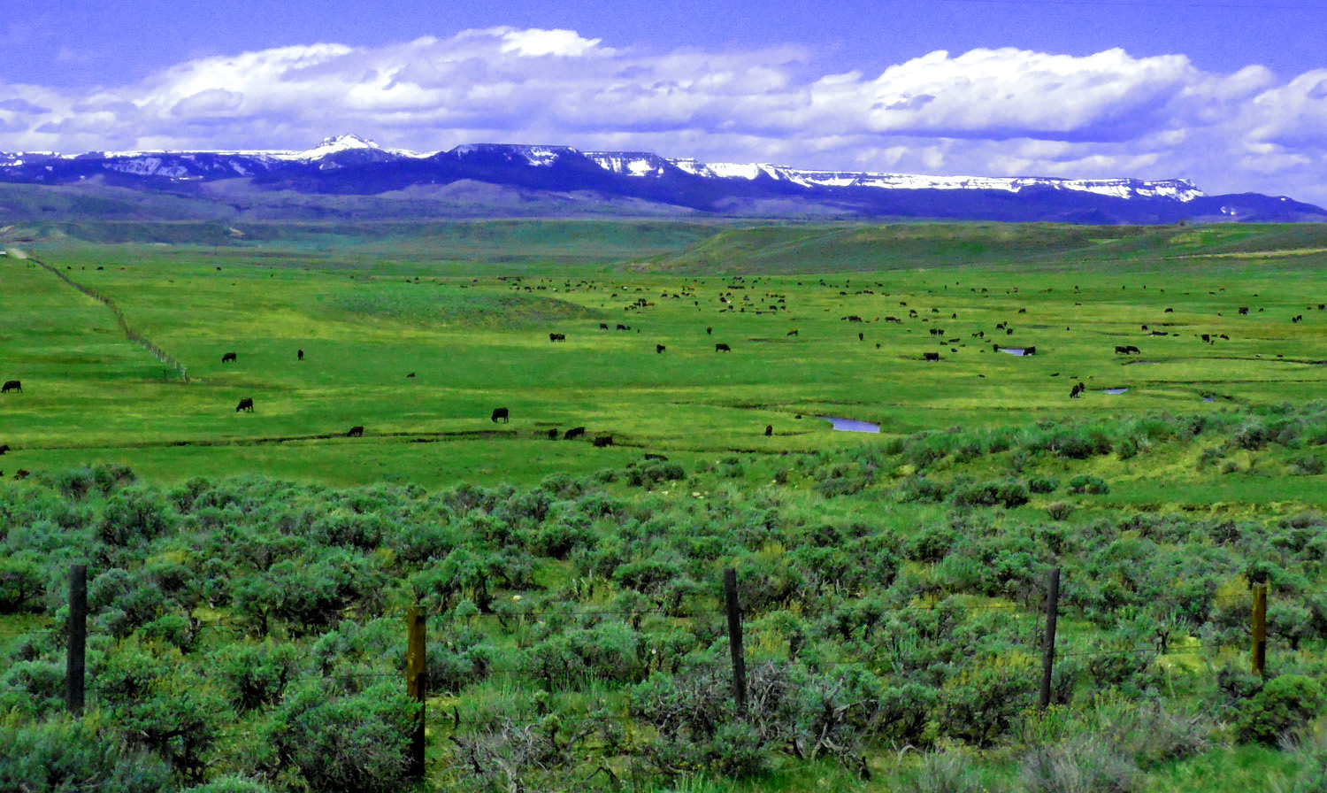
Cattle ranch along the Yampa River
May 20 2020 - 11:52 am
May 20 2020 - 11:52 am
52 / 64
Ranch house
May 20 2020 - 11:53 am
May 20 2020 - 11:53 am
53 / 64
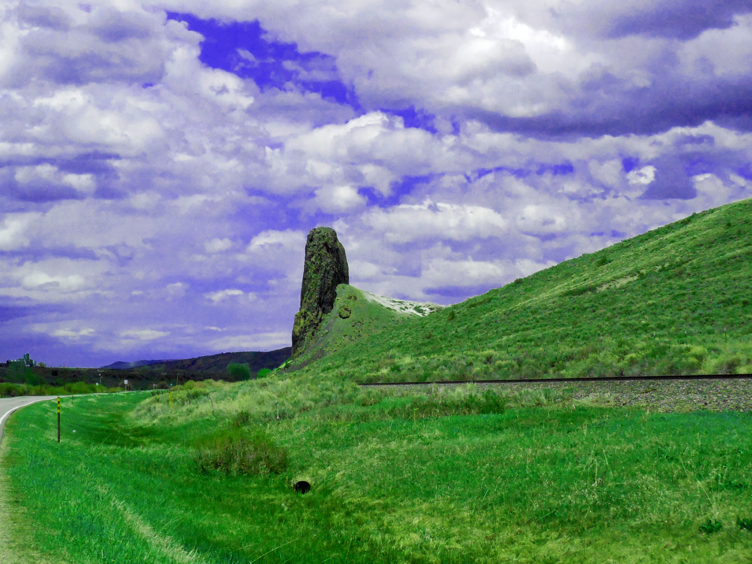
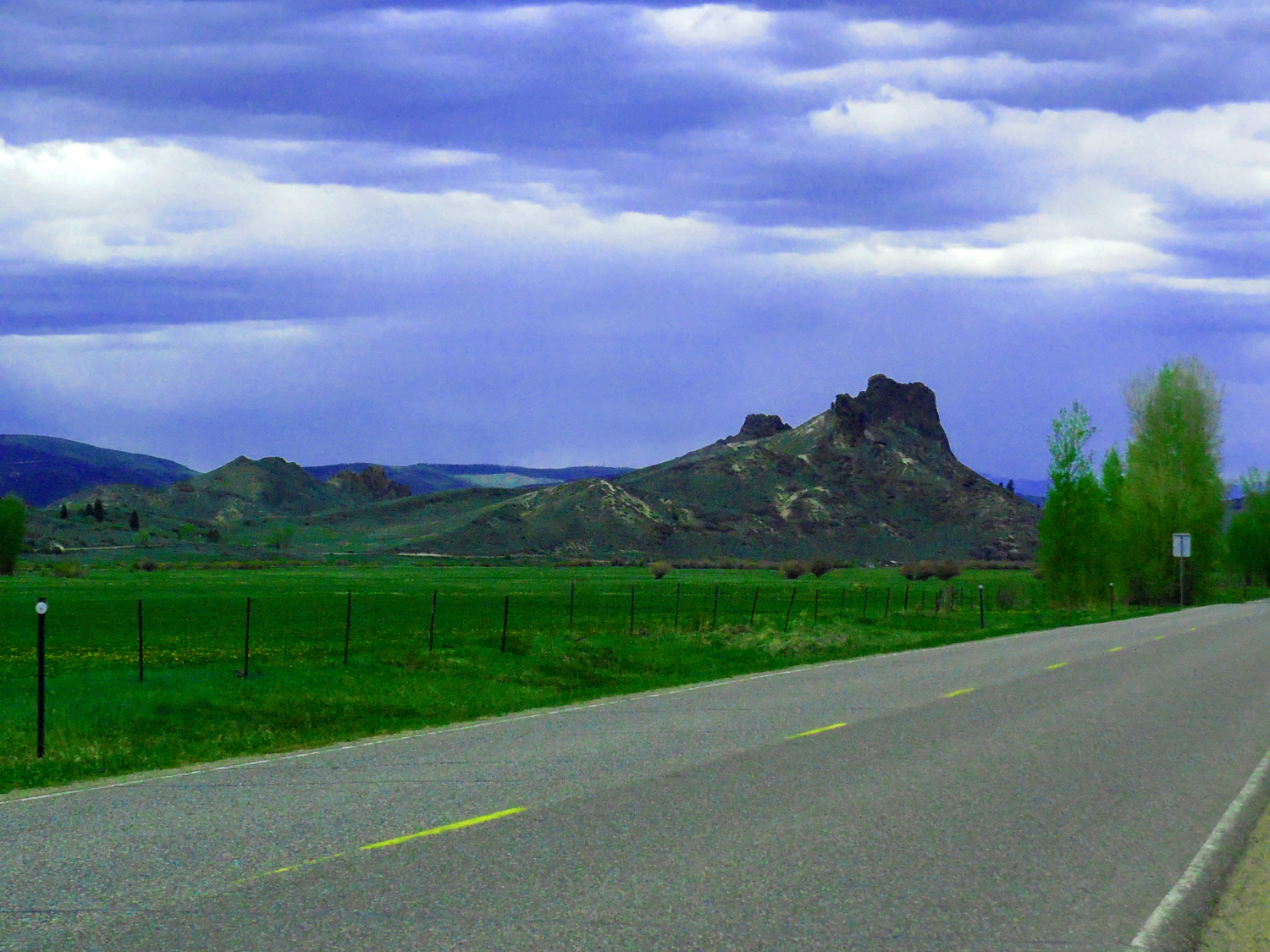
Finger Rock, the first of several volcanic necks
May 20 2020 - 1:09 pm
May 20 2020 - 1:09 pm
54 / 64
Baked Mancos Shale
May 20 2020 - 1:13 pm
May 20 2020 - 1:13 pm
55 / 64
The reason, 2' thick dike holding up the hill
May 20 2020 - 1:15 pm
May 20 2020 - 1:15 pm
56 / 64
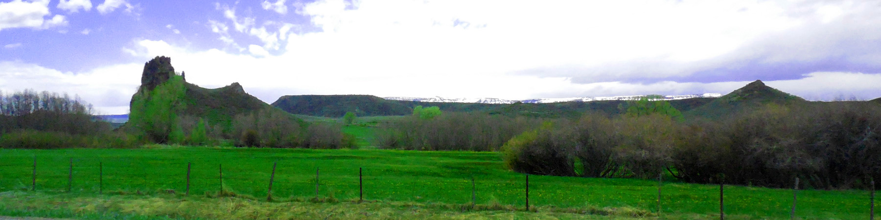
Volcanics Dikes and Necks
May 20 2020 - 1:18 pm
May 20 2020 - 1:18 pm
57 / 64
Sources of Flat Tops basalt flows
May 20 2020 - 1:23 pm
May 20 2020 - 1:23 pm
58 / 64
Oak Creek
May 20 2020 - 1:31 pm
May 20 2020 - 1:31 pm
59 / 64
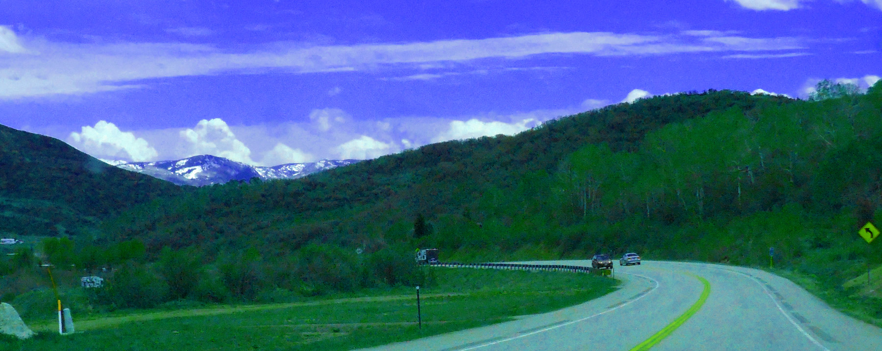
Park Range peeking out
May 20 2020 - 1:42 pm
May 20 2020 - 1:42 pm
60 / 64
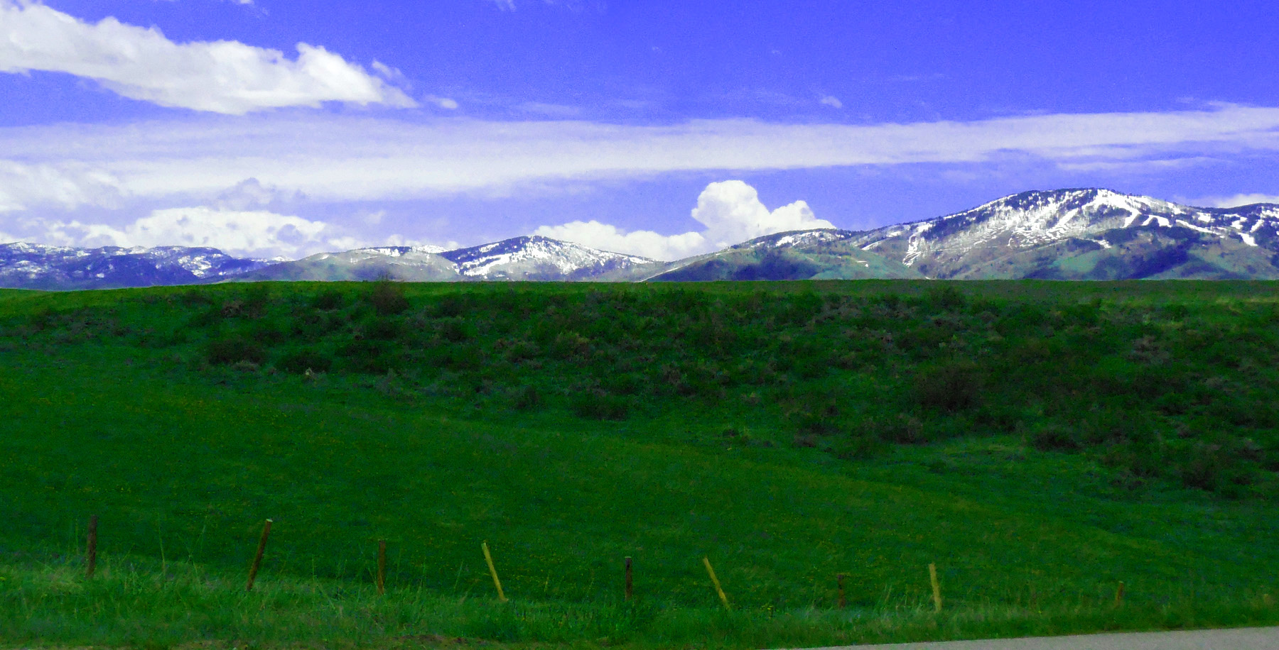
Park Range north of Steamboat Springs
May 20 2020 - 1:47 pm
May 20 2020 - 1:47 pm
61 / 64
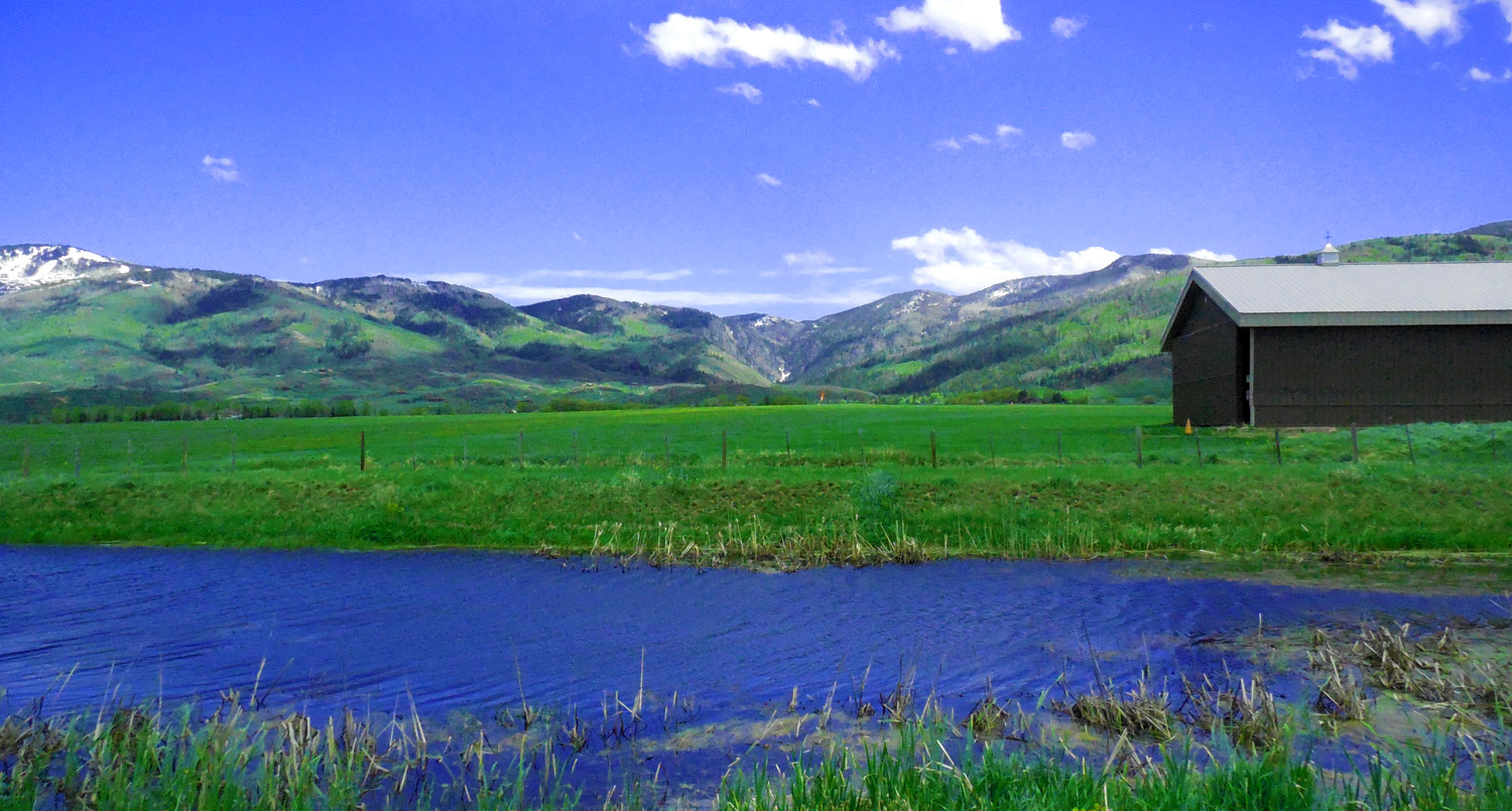
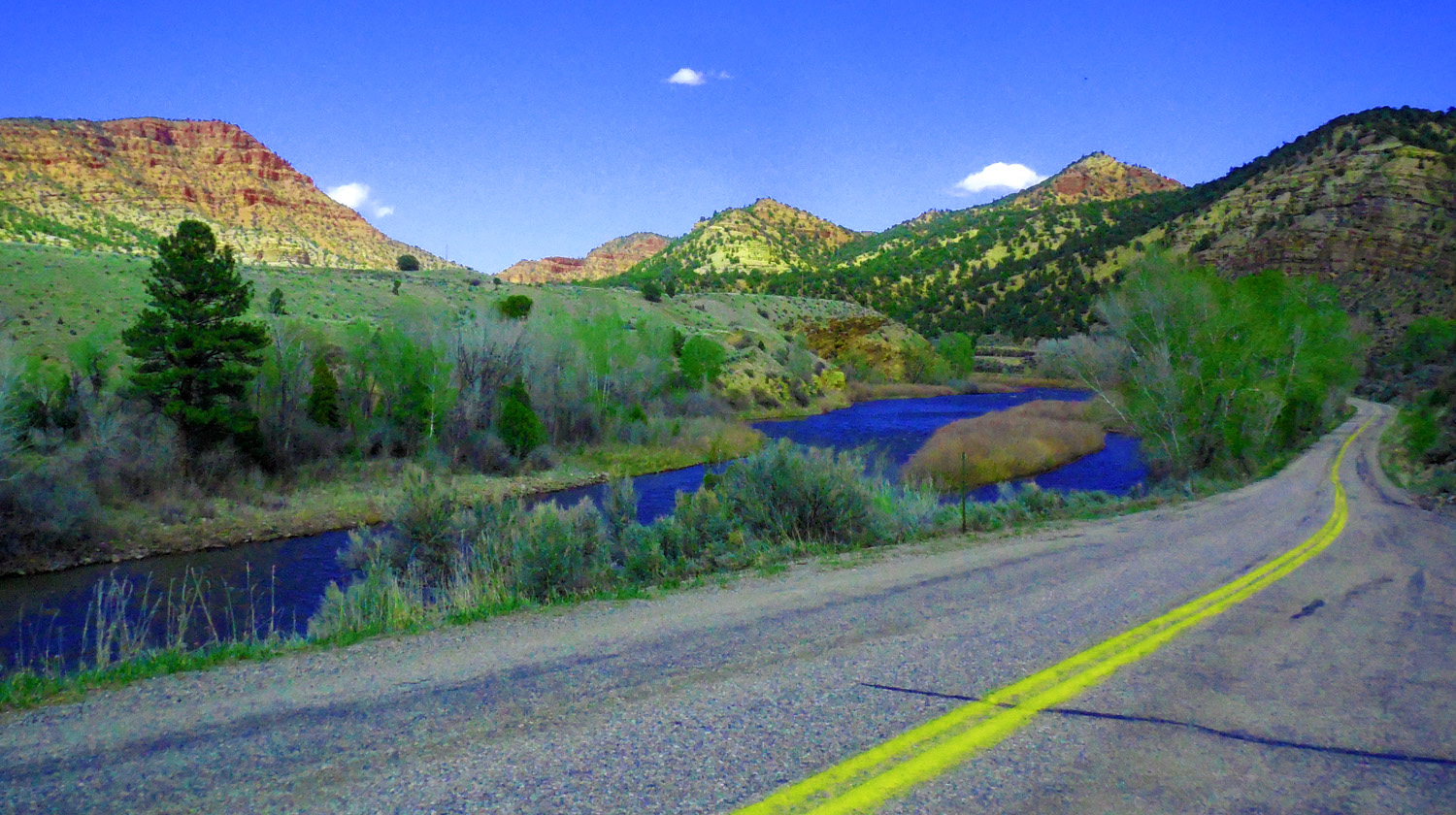
Canyon in the Gore Range over pond along the Yampa River
May 20 2020 - 1:54 pm
May 20 2020 - 1:54 pm
62 / 64
Cascading spring runoff
May 20 2020 - 1:54 pm
May 20 2020 - 1:54 pm
63 / 64
Steamboat Springs condos
May 20 2020 - 1:56 pm
May 20 2020 - 1:56 pm
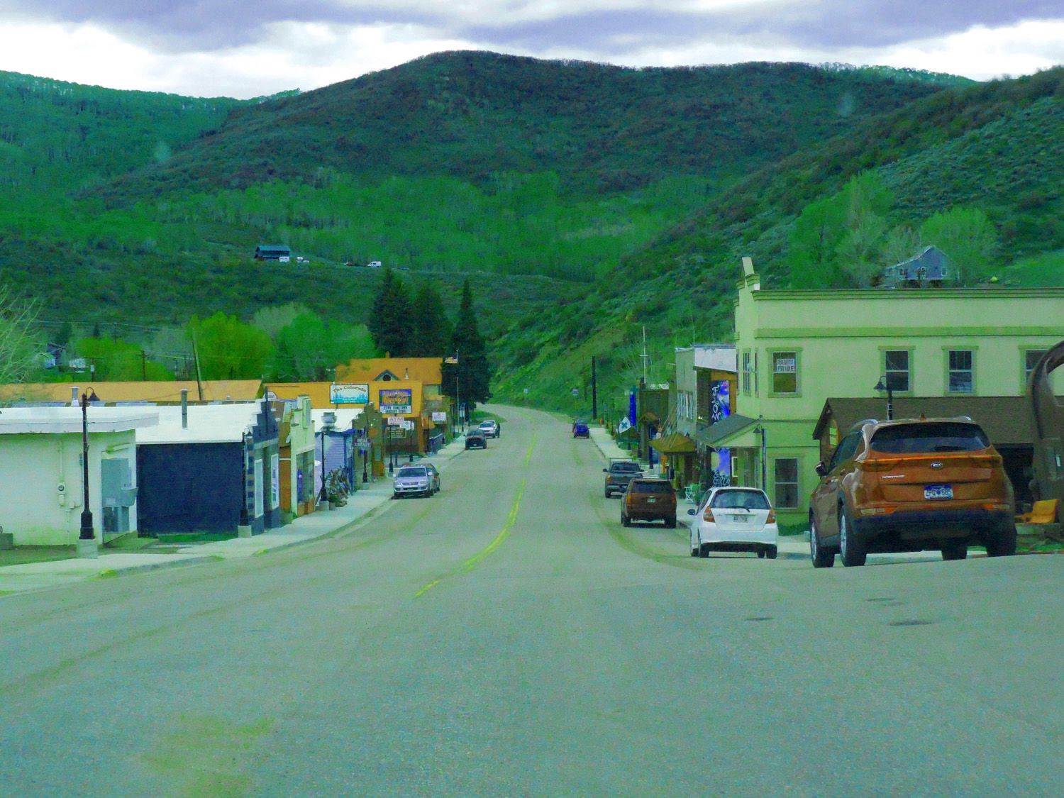
64 / 64
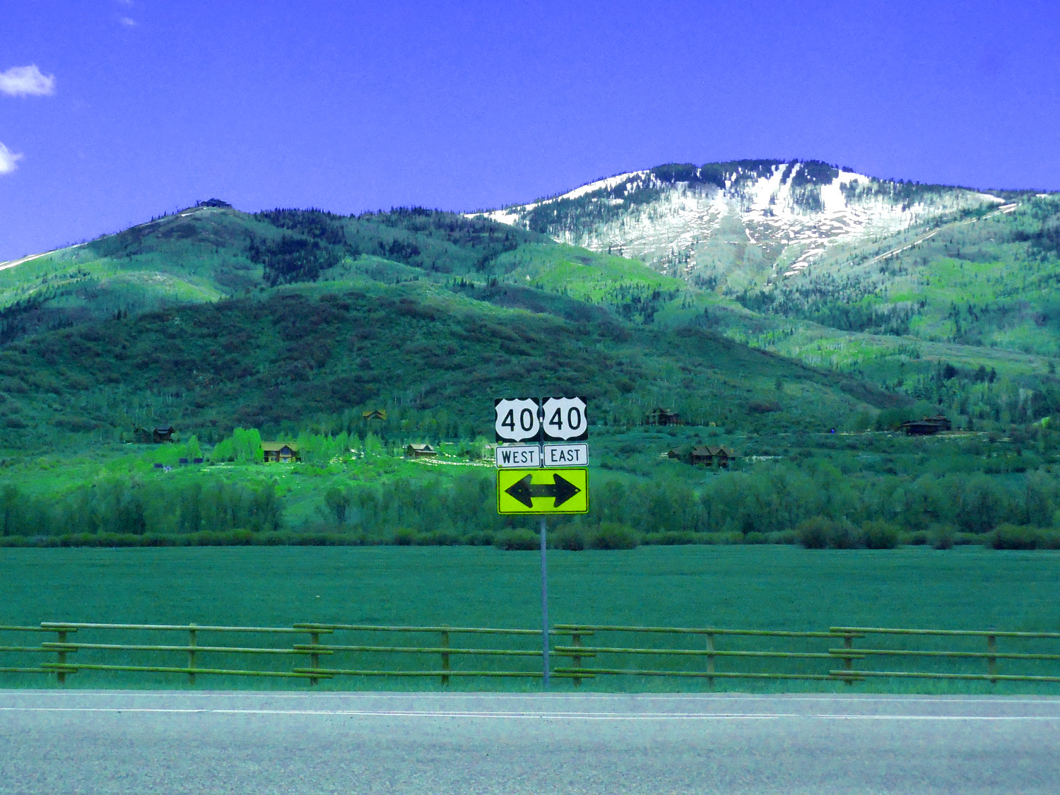
North End of CO 131, US 40 at Steamboat Springs
May 20 2020 - 1:56 pm
May 20 2020 - 1:56 pm