19 photos most of the Sangre de Cristo Range (Spanish for 'Blood of Christ' for its red pre-Cambrian quartite rocks)
Road Index or use your browser "back" arrow or function 1 minute cycle: please choose another user-controlled 2 seconds 5 seconds 10 seconds 30 seconds
1 / 21
2 / 21

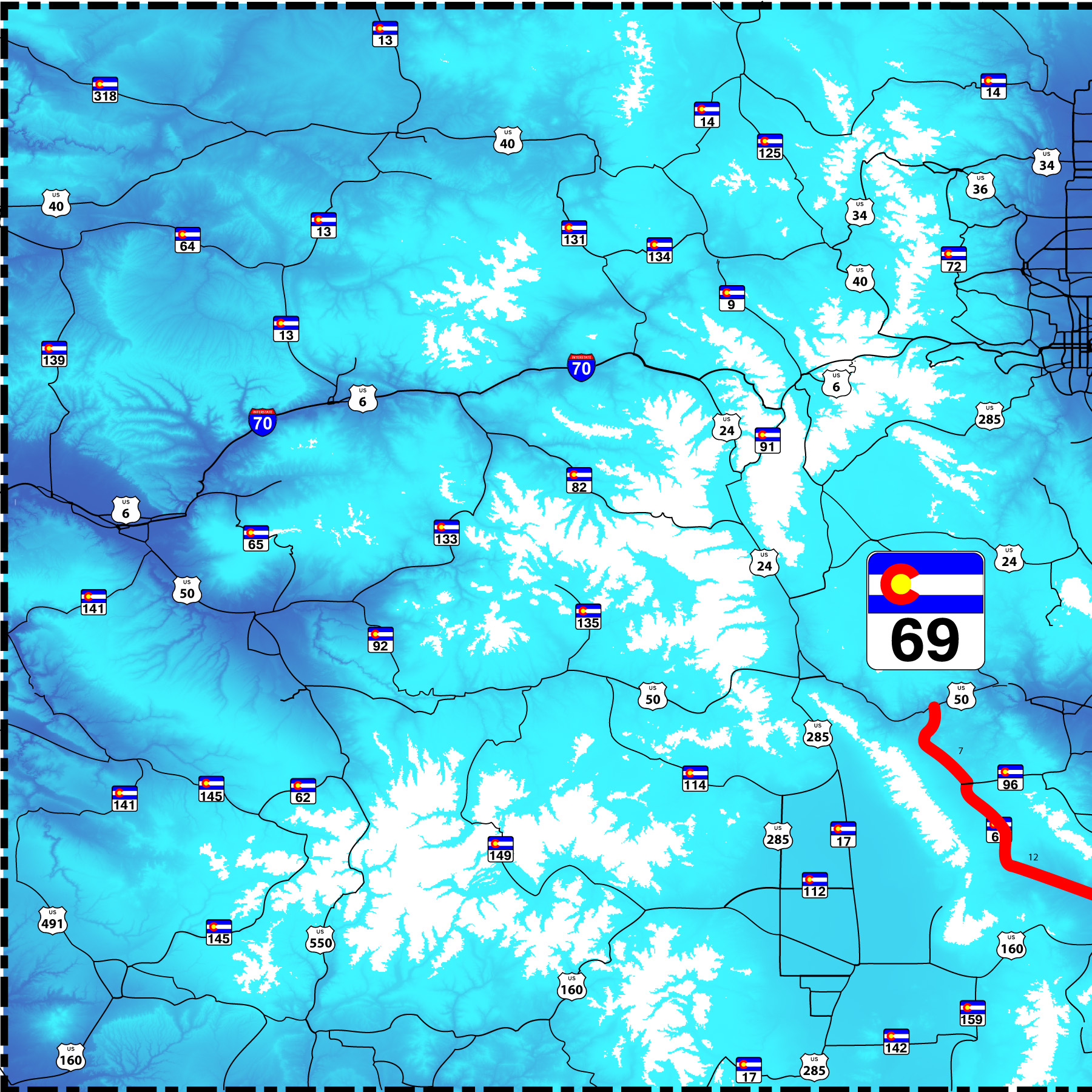
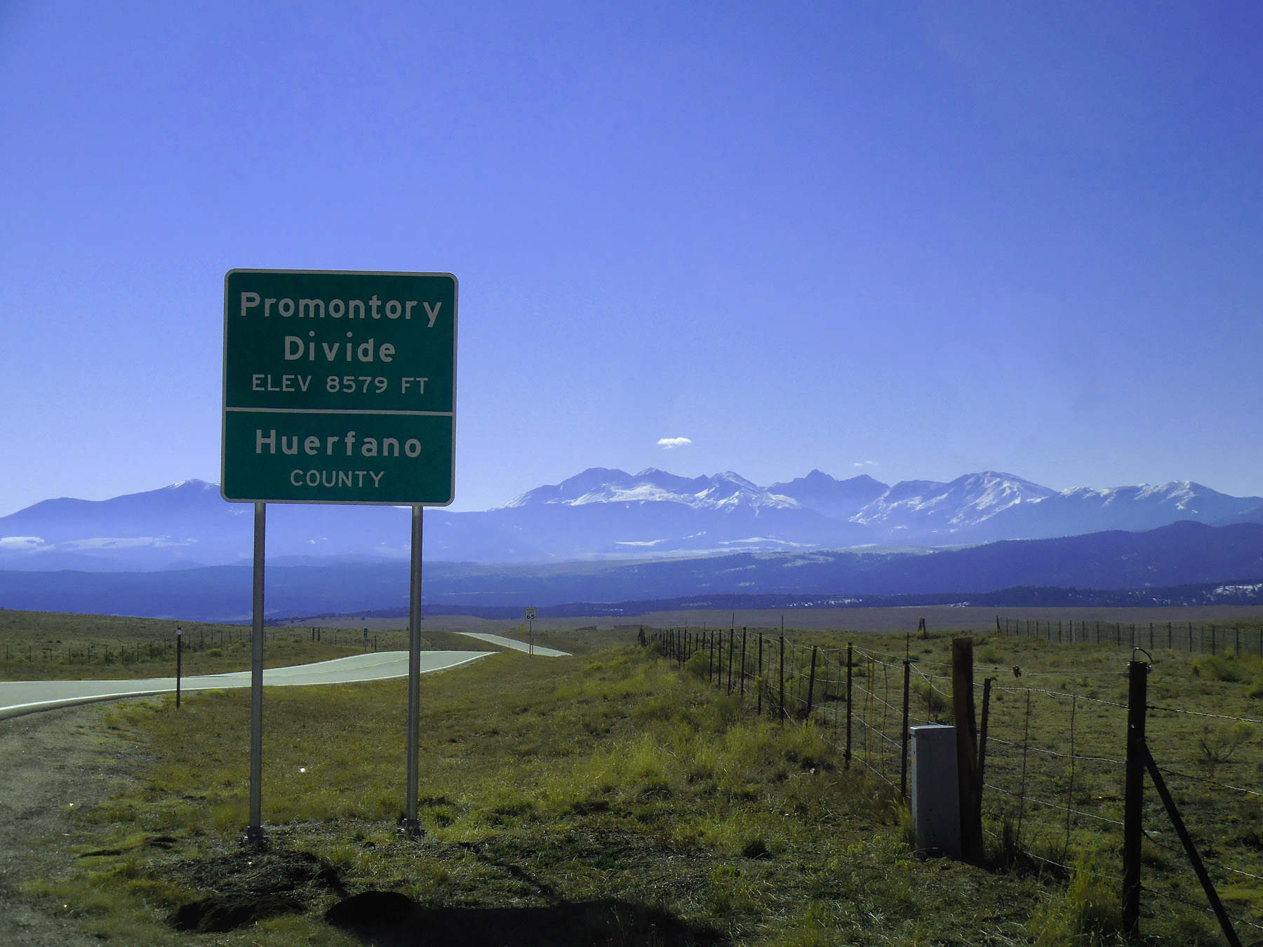
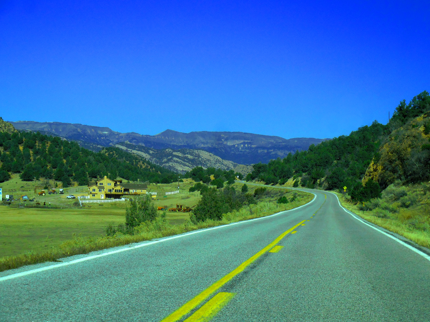
SE end of CO 69 (I 25 one mile north of Walsenburg)
3 / 21
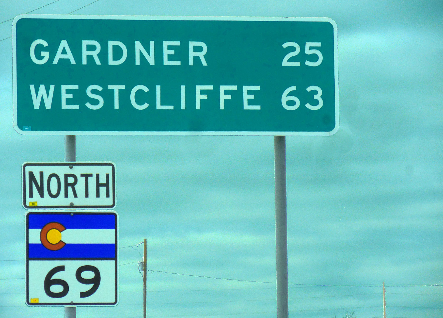
Road sign with clouds
Nov 27 2020 - 10:40 am
Nov 27 2020 - 10:40 am
4 / 21
Quickly clearing Greenhorn Mountain (12,347') south end of the Wet Mountains commonly confused with Pikes Peak next peak north on I 25
Nov 27 2020 - 10:46 am
Nov 27 2020 - 10:46 am
5 / 21
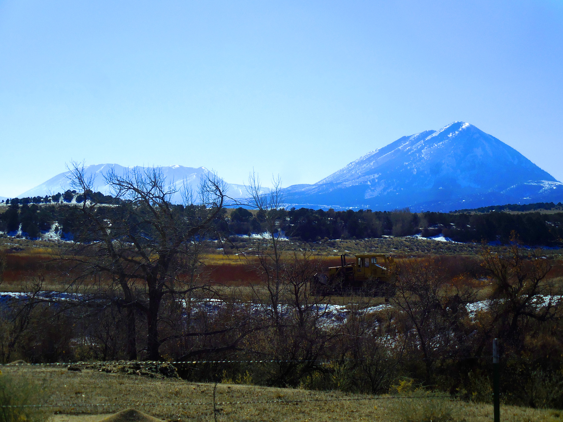
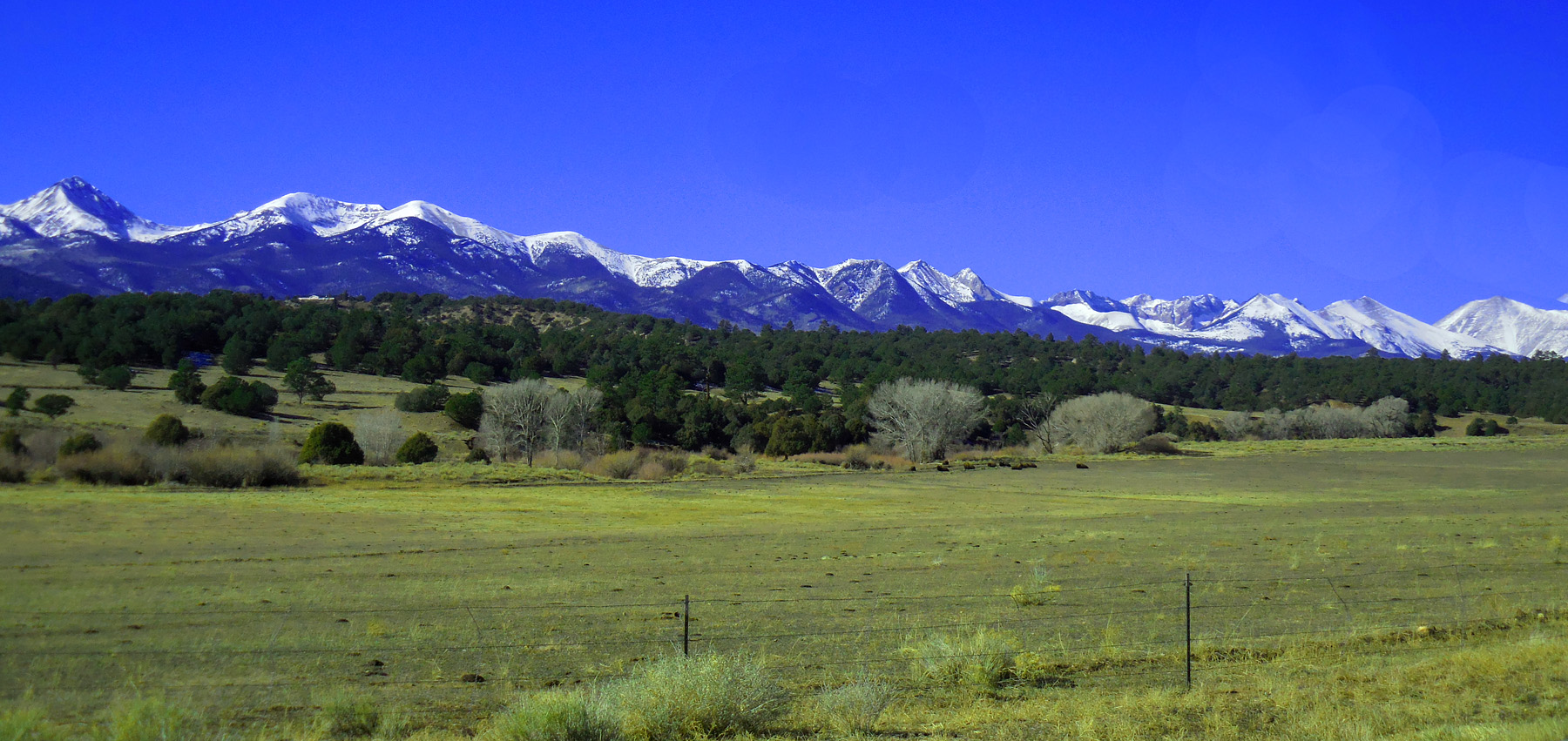
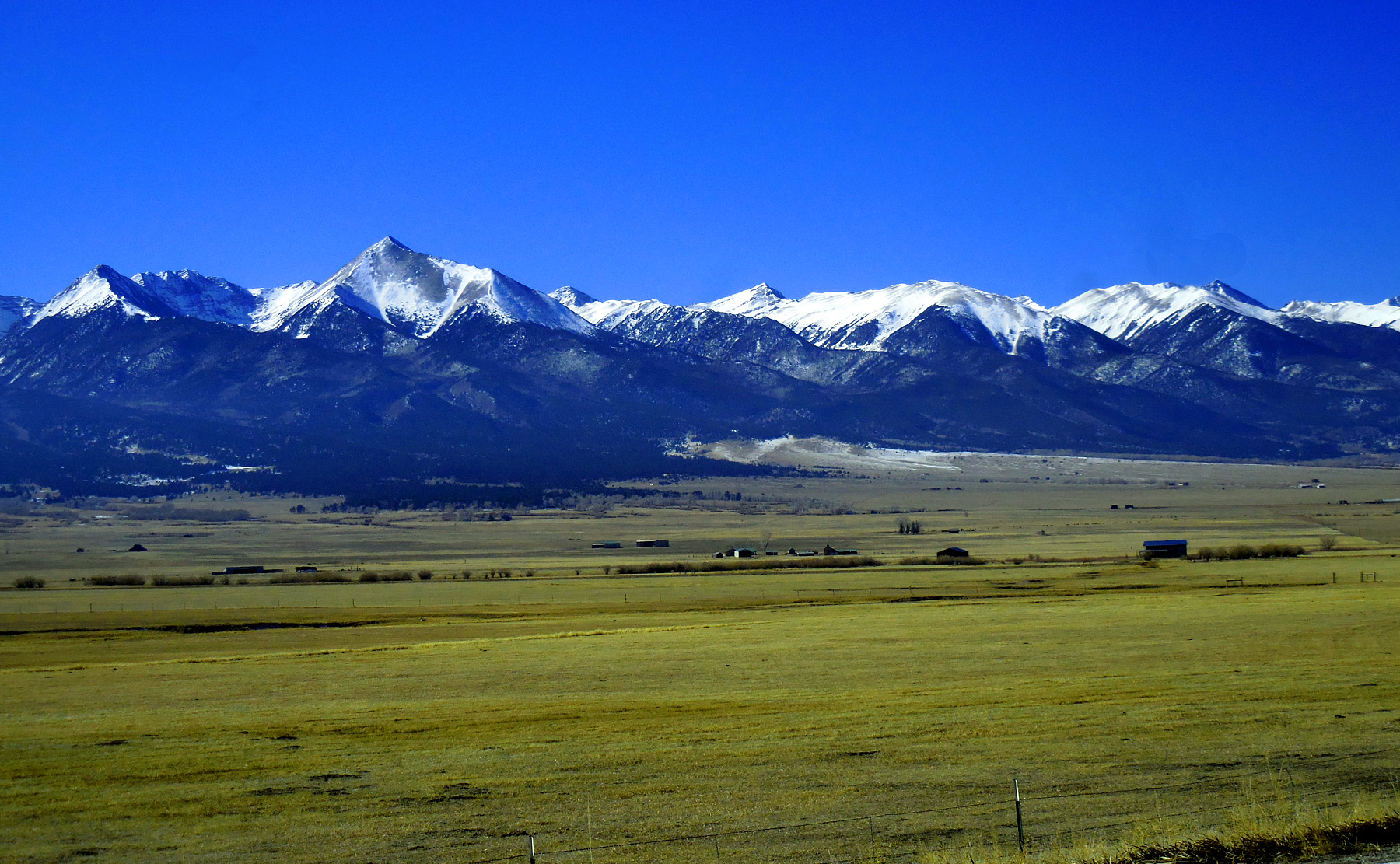
Nine 14er's of Sangre de Cristo Range (Little Bear Pk, Blanca Pk, Ellingwood Pt, Mt Lindsey, Crestone Pk, Crestone Needles, Challeger Pt, Kit Carson Pk, and Humbolt Pk)
Nov 27 2020 - 10:54 am
Nov 27 2020 - 10:54 am
6 / 21
Spanish Peaks - East Peak (12,683', left) and West Peak (12,626, right)
Nov 27 2020 - 11:15 am
Nov 27 2020 - 11:15 am
7 / 21
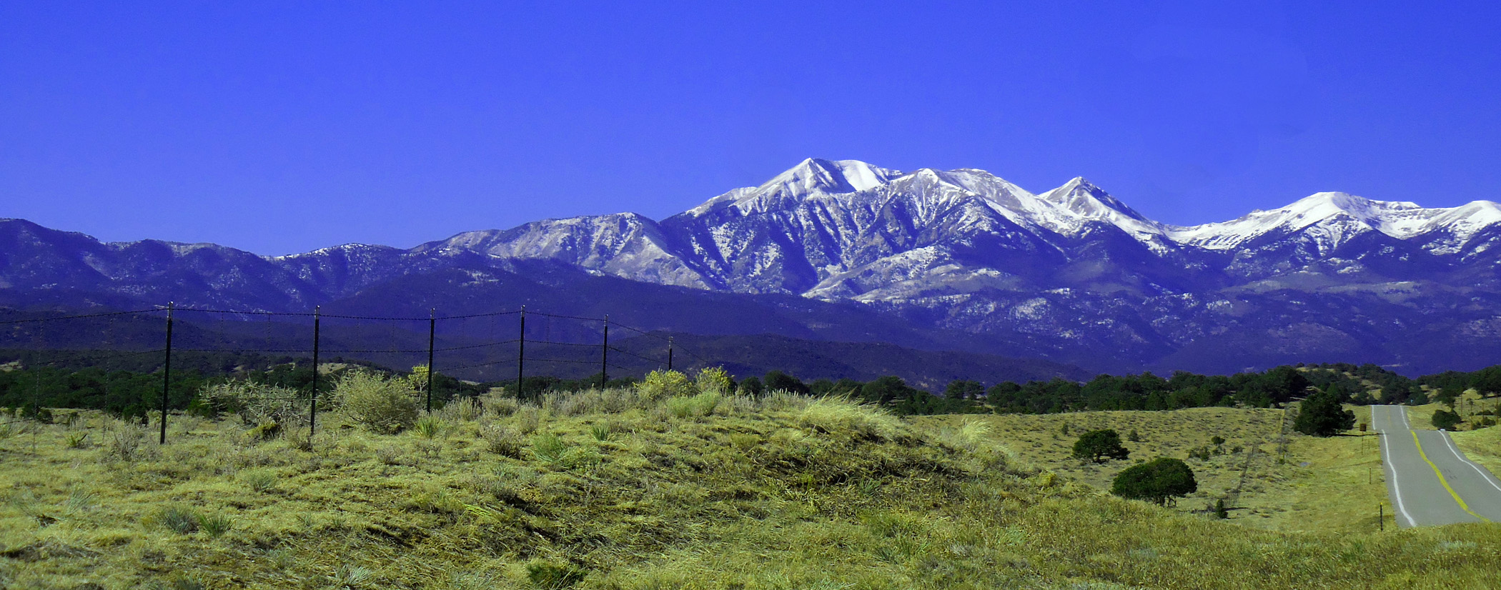
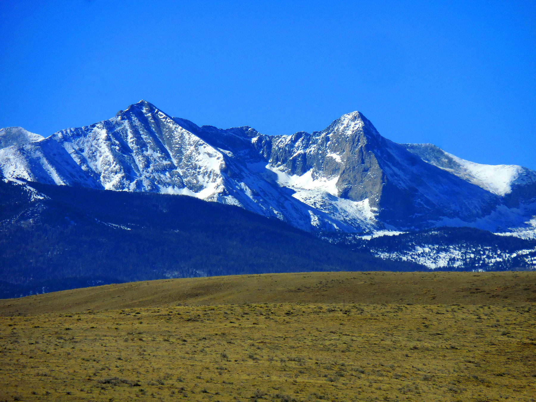
From left - Little Bear Peak (14,037'), Blanca Peak (14,345'), Englewood Point (14,042'), Mt. Lindsey (14,042'), California Peak (13,849')
Nov 27 2020 - 11:24 am
Nov 27 2020 - 11:24 am
8 / 21
Zapata Ridge (12,298')
Nov 27 2020 - 11:29 am
Nov 27 2020 - 11:29 am
9 / 21
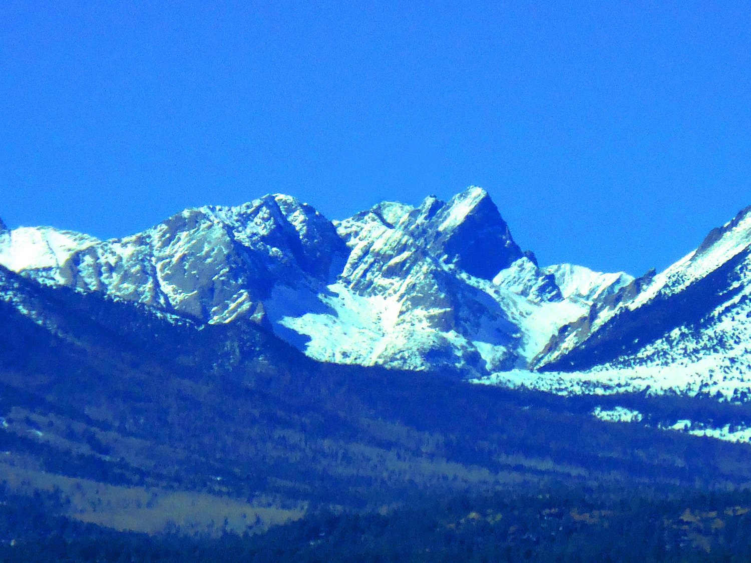
Telephoto Nov 27 2020 - 11:30 am
10/ 21
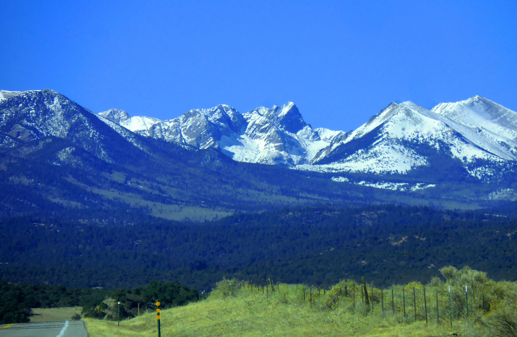
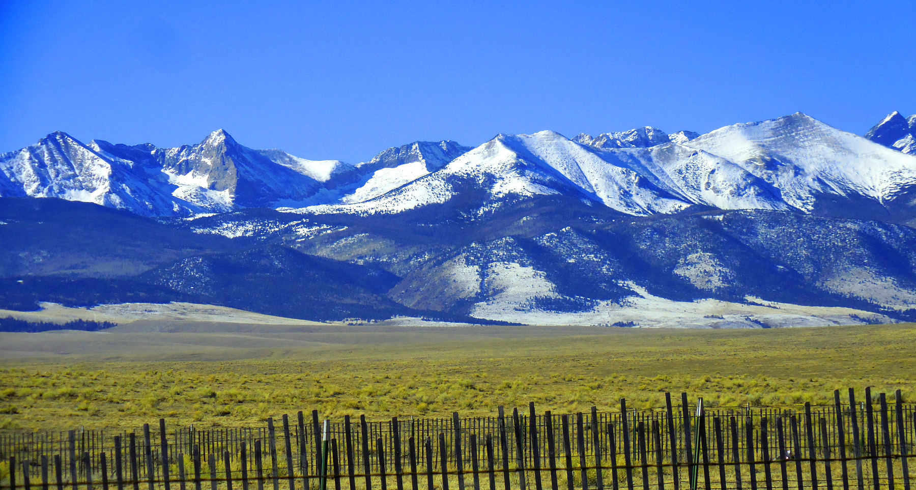
Central Sangre de Cristo Range from Carbonate Mountain (12,308') to Humbolt Peak (14,064')
Nov 27 2020 - 11:35 am
Nov 27 2020 - 11:35 am
11 / 21
Buzzardine Peak (11,910') and Blueberry Peak (12,005')
Nov 27 2020 - 11:39 am
Nov 27 2020 - 11:39 am
12 / 21
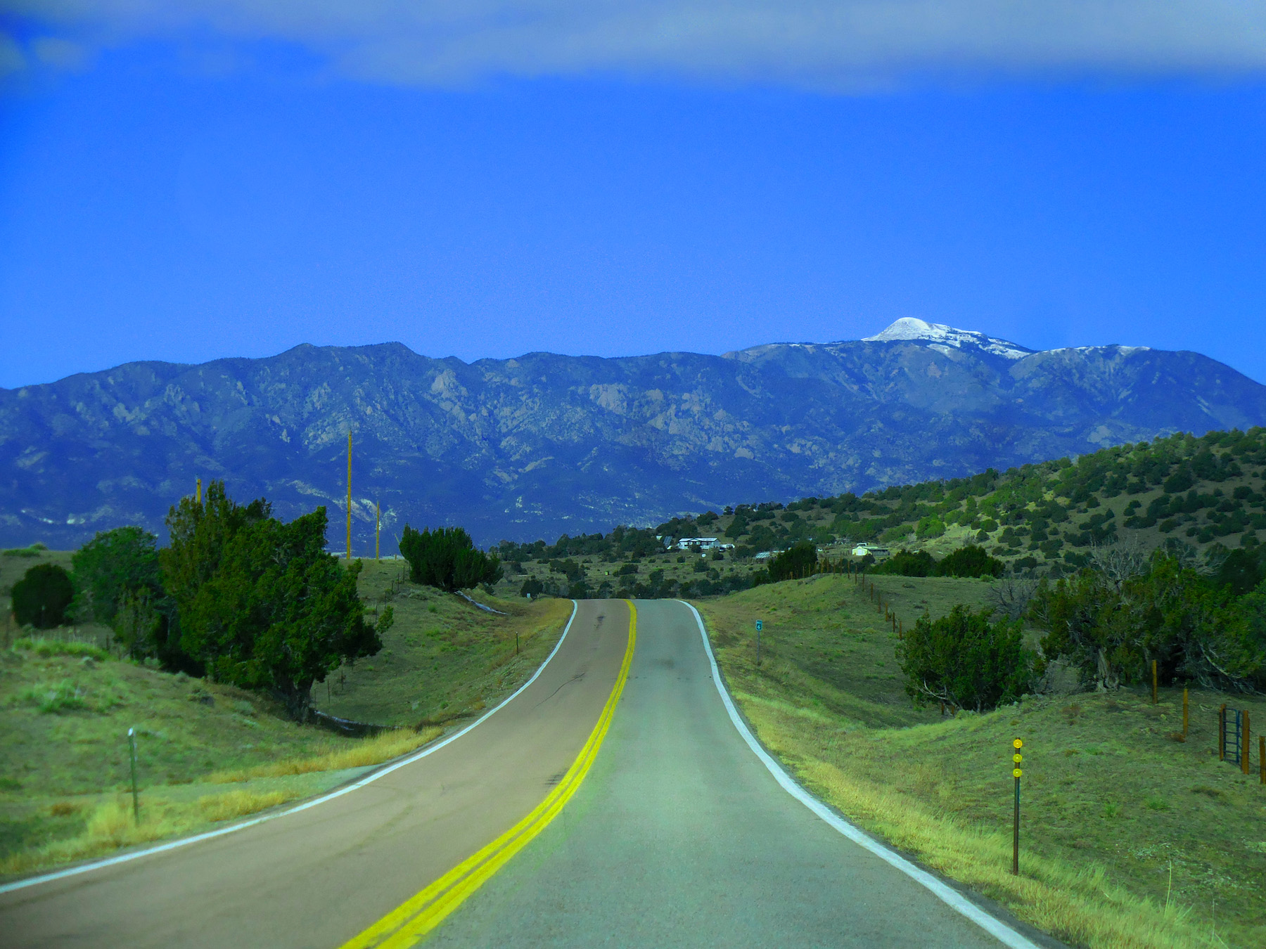
I can't get enough of this morning's view of the Sangres
Nov 27 2020 - 11:41 am
Nov 27 2020 - 11:41 am
13 / 21
Divide between Huerfano River and Texas Creek (Pikes Peak 14,110' in background)
Nov 27 2020 - 11:42 am
Nov 27 2020 - 11:42 am
14 / 21
Texas Creek headwaters similar to Huerfano River headwaters (both in structural trough between Wet Mountains and Sangres)
Nov 27 2020 - 11:55 am
Nov 27 2020 - 11:55 am
15 / 21
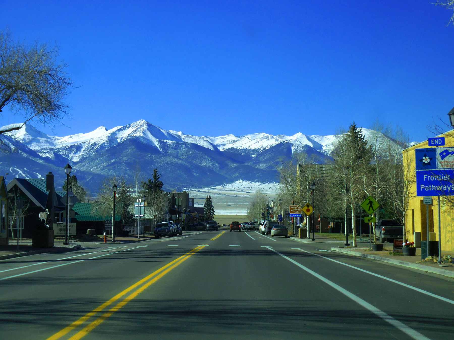
Westcliffe
Nov 27 2020 - 12:03 pm
Nov 27 2020 - 12:03 pm
16 / 21
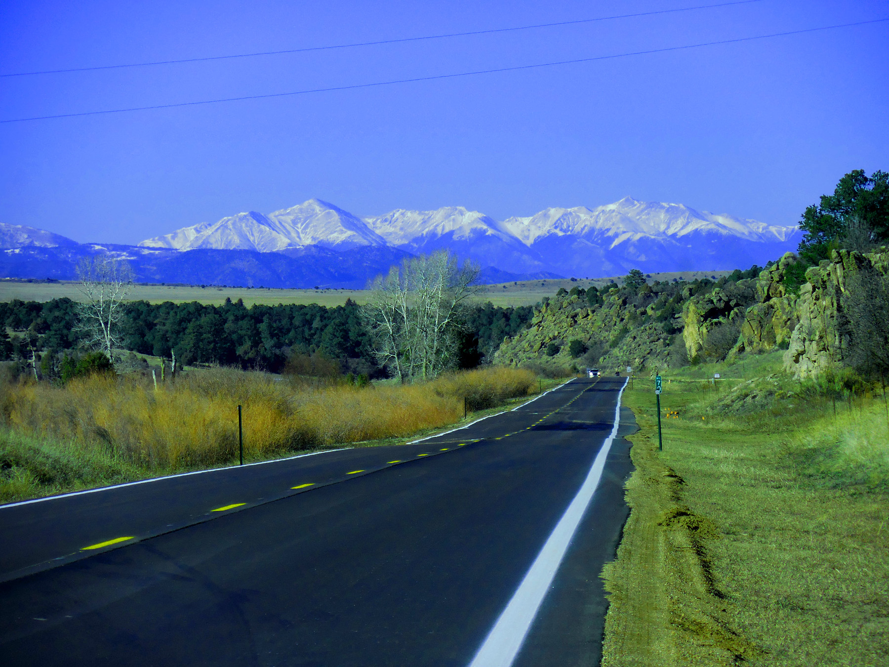
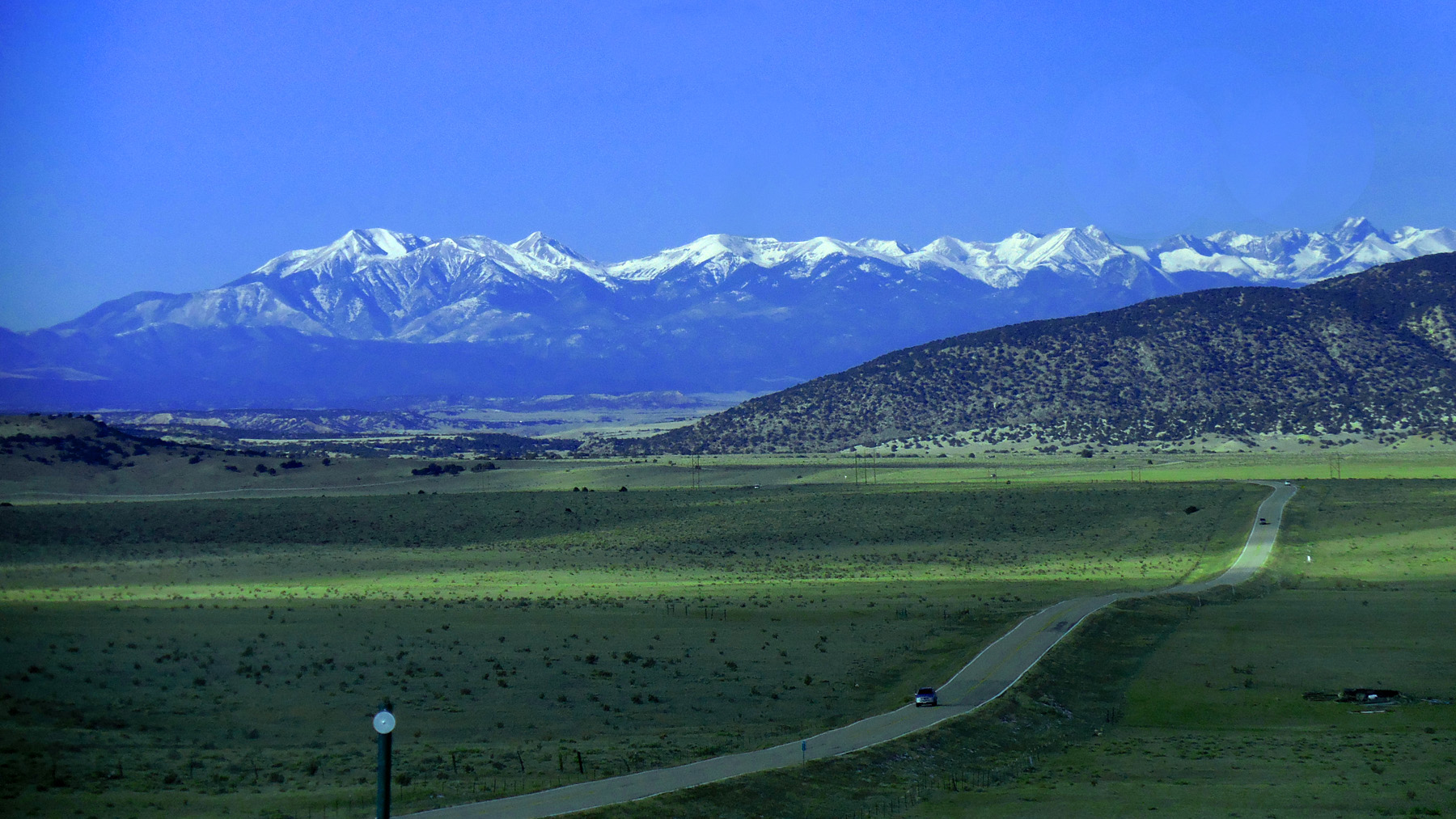
Southern Sawatch Range Mt. Shavano (14,229'), Tabeguache Peak (14,155'), Mt. Antero (14,269')
Nov 27 2020 - 12:18 pm
Nov 27 2020 - 12:18 pm
17 / 21
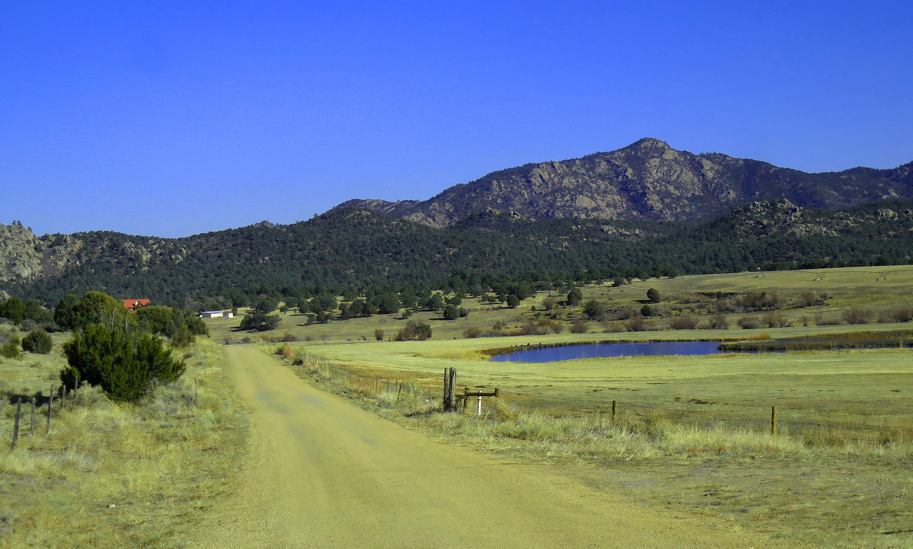
Wet Mountains (similar granite at Greenhorn Mountain)
Nov 27 2020 - 12:24 pm
Nov 27 2020 - 12:24 pm
18 / 21
South Park across the Arkansas River Canyon
Nov 27 2020 - 12:31 am
Nov 27 2020 - 12:31 am
19 / 21
Texas Creek Canyon
Nov 27 2020 - 12:32 pm
Nov 27 2020 - 12:32 pm
20 / 21
End of the Canyon
Nov 27 2020 - 12:35 pm
Nov 27 2020 - 12:35 pm
21 / 21
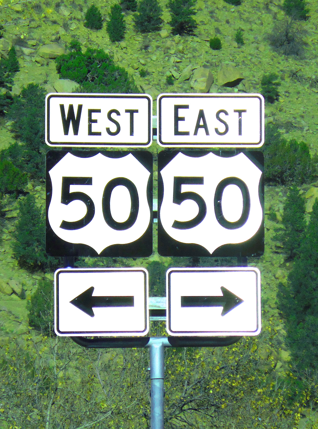
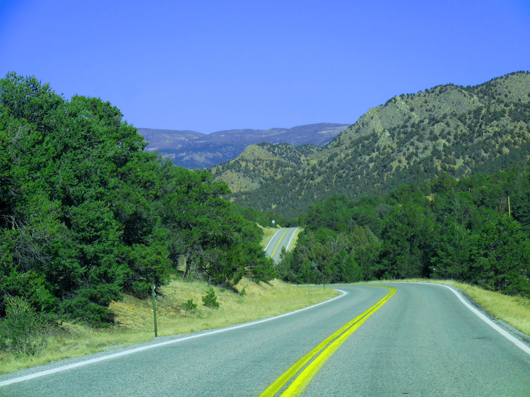
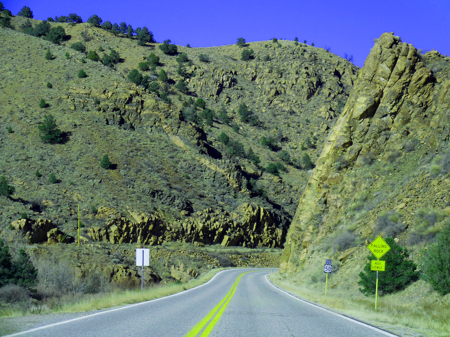
NW end of CO 69 (US 50 at Texas Creek)
Nov 27 2020 - 12:36 pm
Nov 27 2020 - 12:36 pm