63 images
5 photos on cutoff road, 2 roads signs, 56 from CO 14
Road Index or use your browser "back" arrow or function 1 minute cycle: please choose another user-controlled 2 seconds 5 seconds 10 seconds 60 seconds
1 / 63
2 / 63
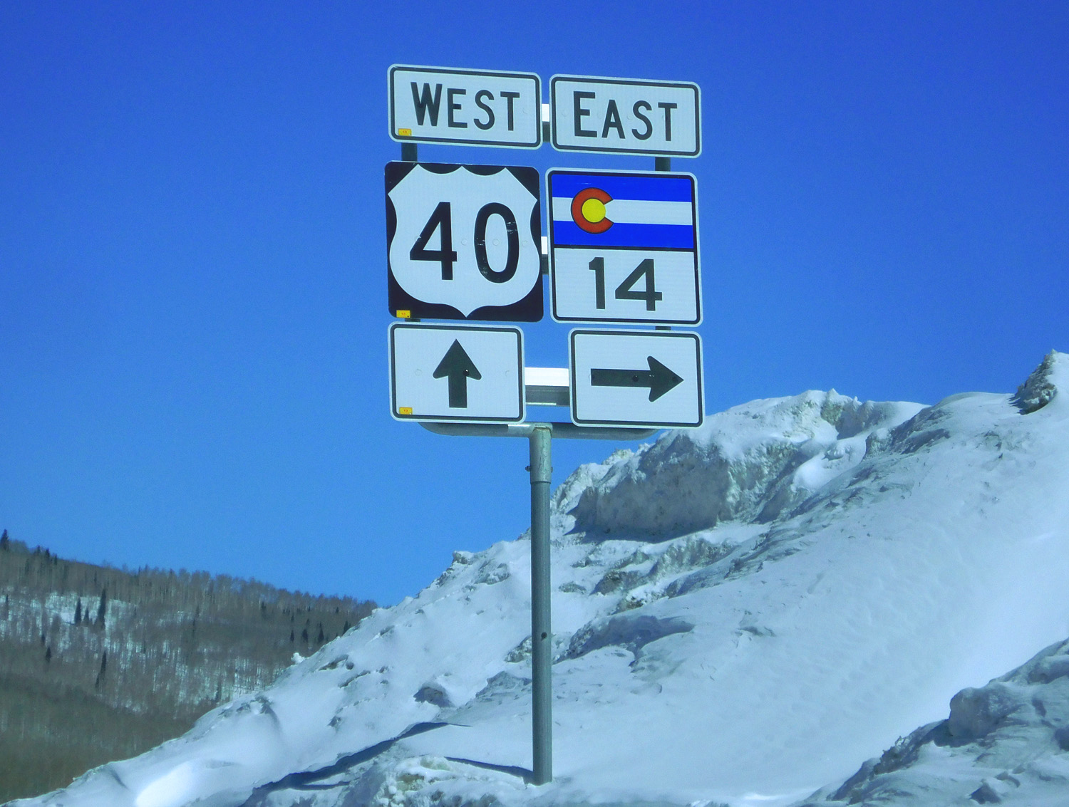
West end of CO 14 (US 40 at Rabbit Ears Pass)
Mar 23 2022 - 10:34 am
Mar 23 2022 - 10:34 am
3 / 63
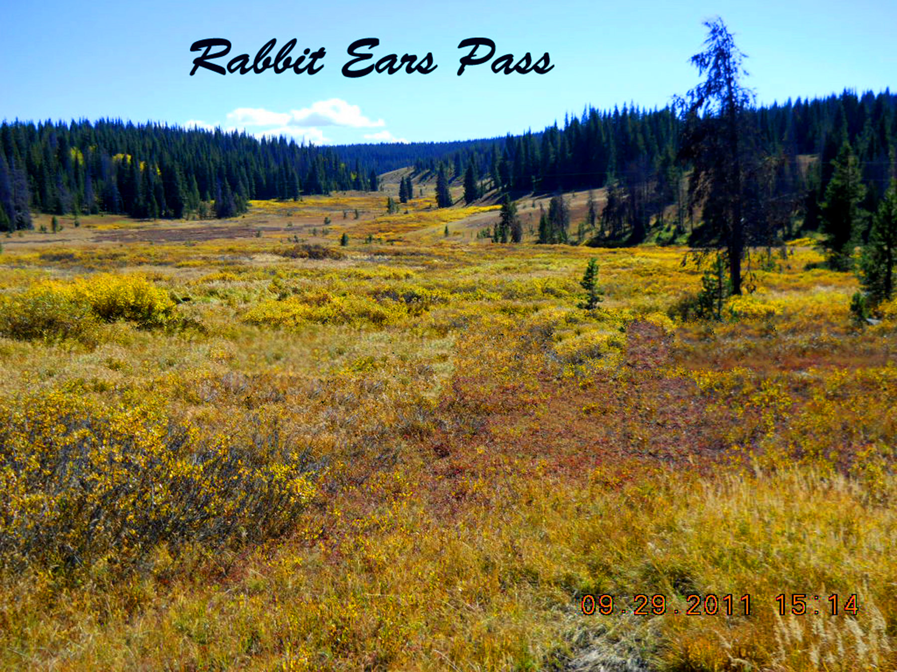
Rabbit Ears Pass (near CO 14 turnoff on US 40)
Jul 13 2017 - 10:28 am
Jul 13 2017 - 10:28 am
4 / 63
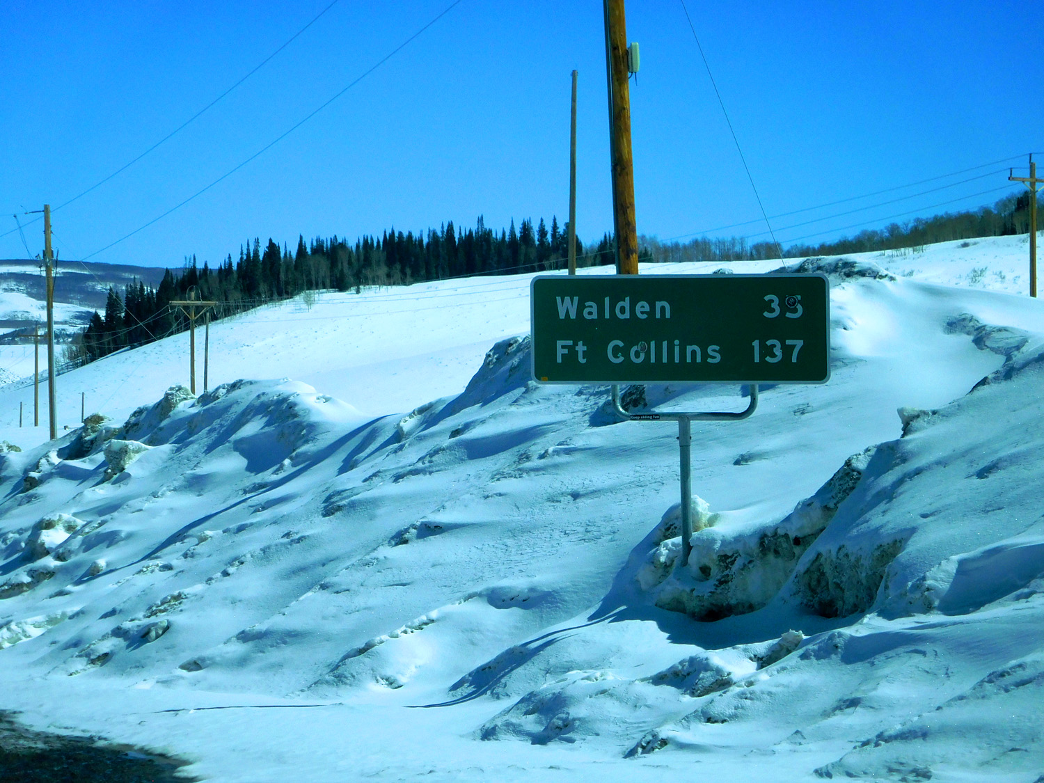
First sign on CO 14
Mar 23 2022 - 10:35 am
Mar 23 2022 - 10:35 am
5 / 63
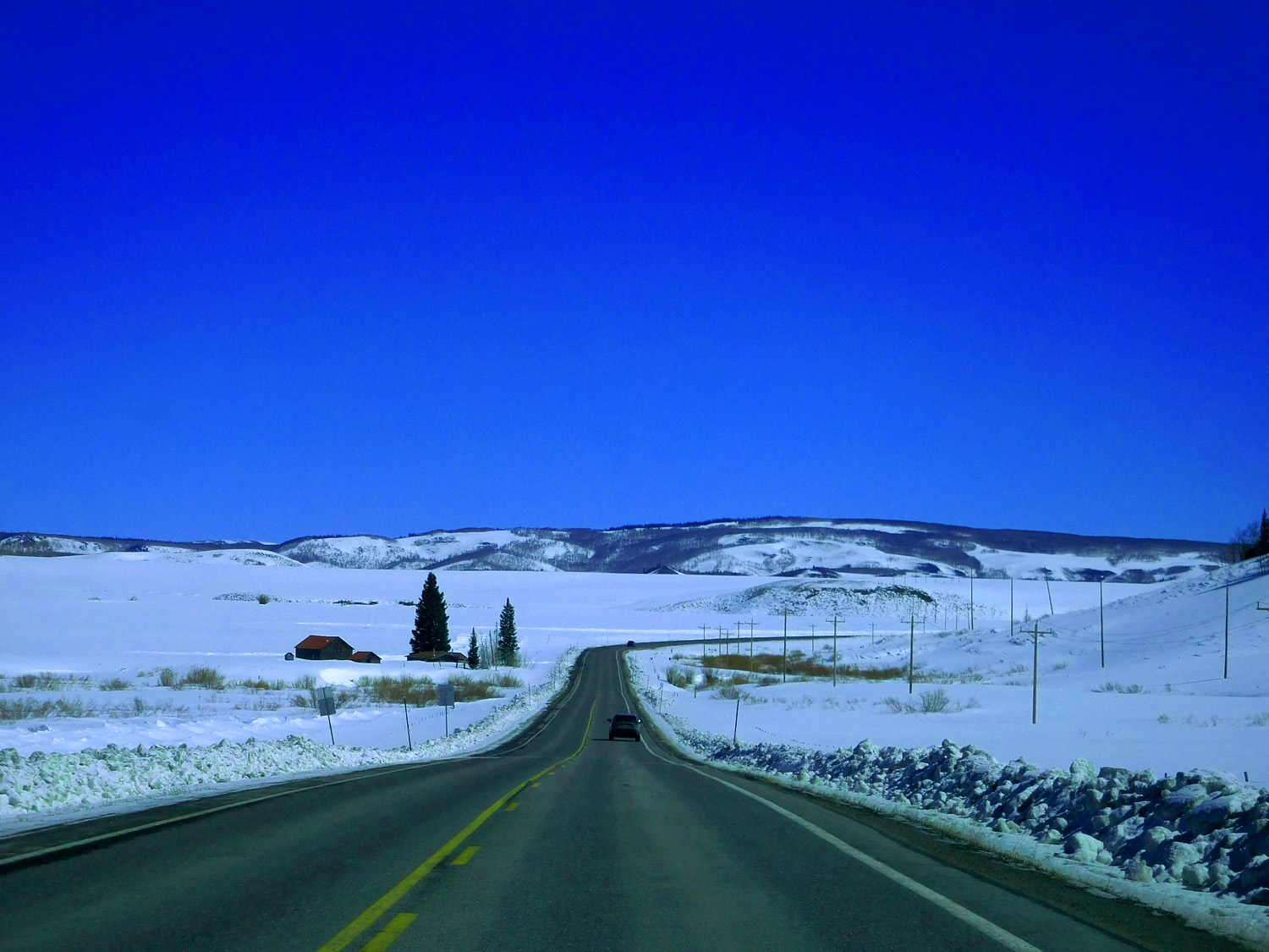
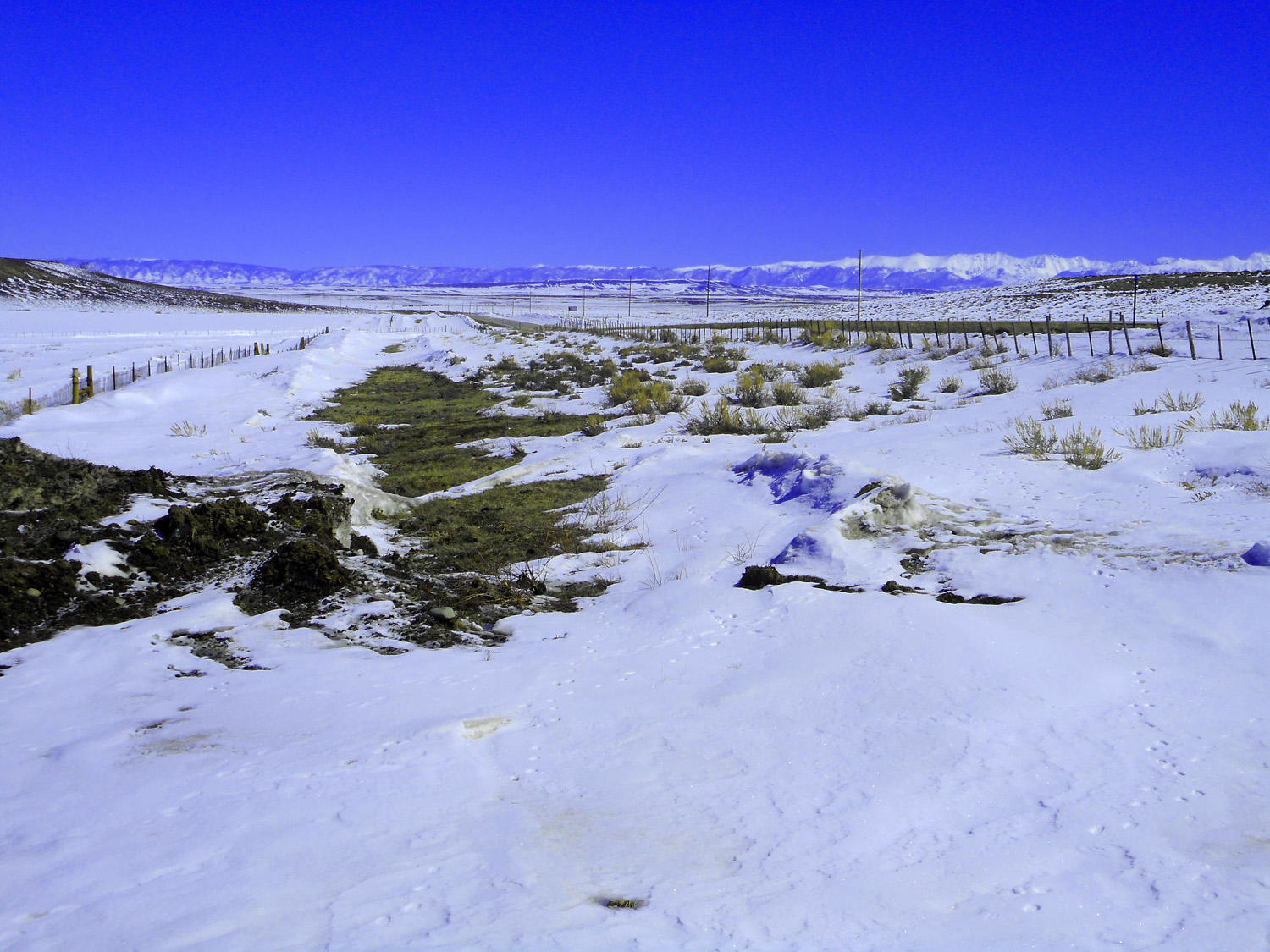
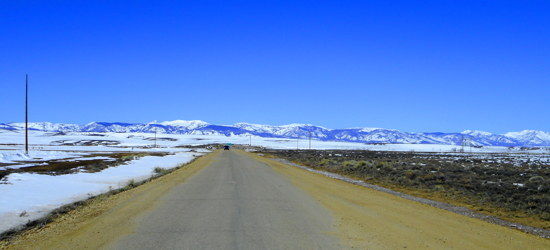
Early view from CO 14 (not much scenery)
Mar 23 2022 - 10:35 am
Mar 23 2022 - 10:35 am
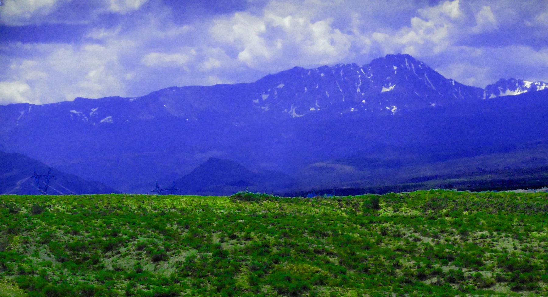
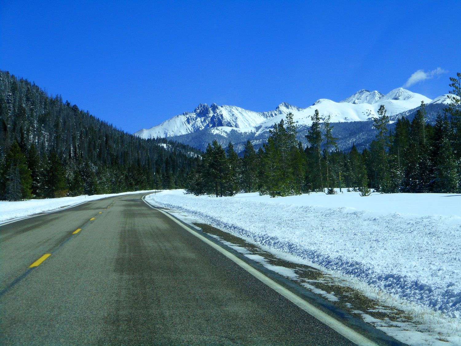
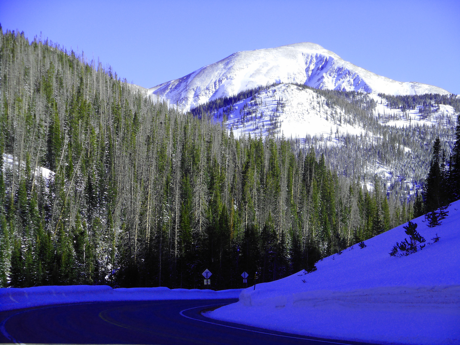
6 / 63
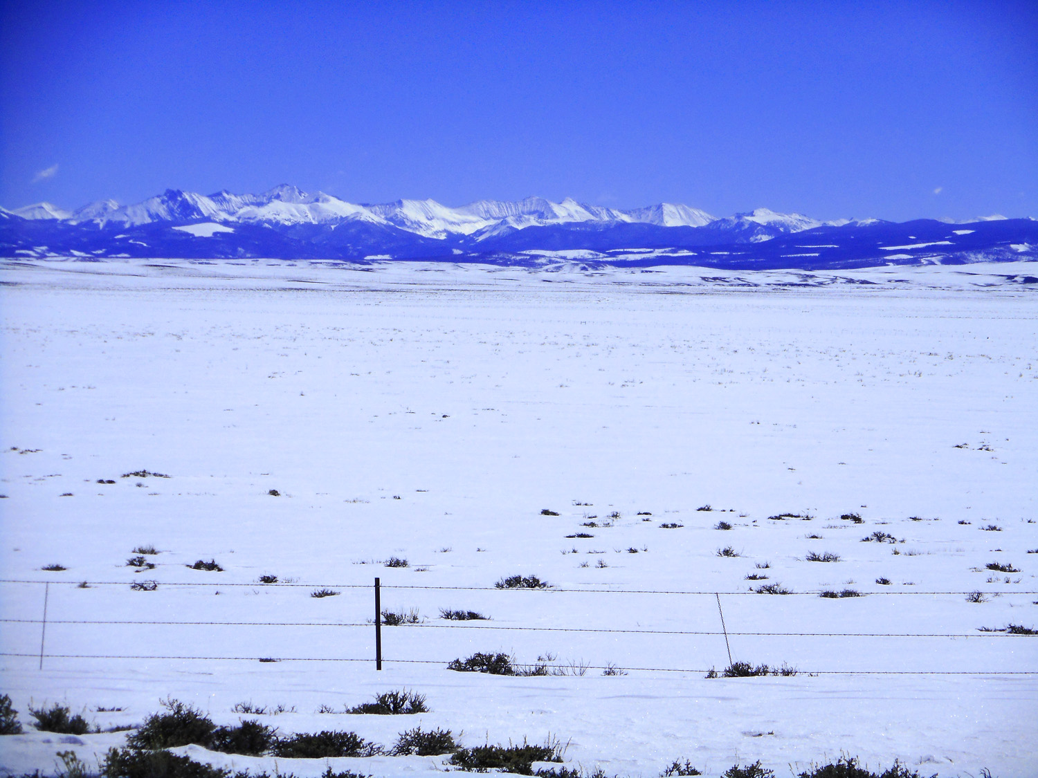
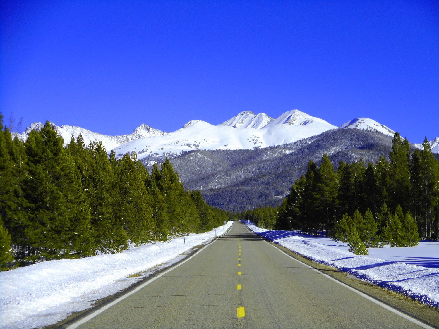
Then the Park Range comes into view
Jun 30 2013 - 2:31 pm
Jun 30 2013 - 2:31 pm
7 / 63
In evening light
Mar 23 2022 - 4:31 am
Mar 23 2022 - 4:31 am
8 / 63
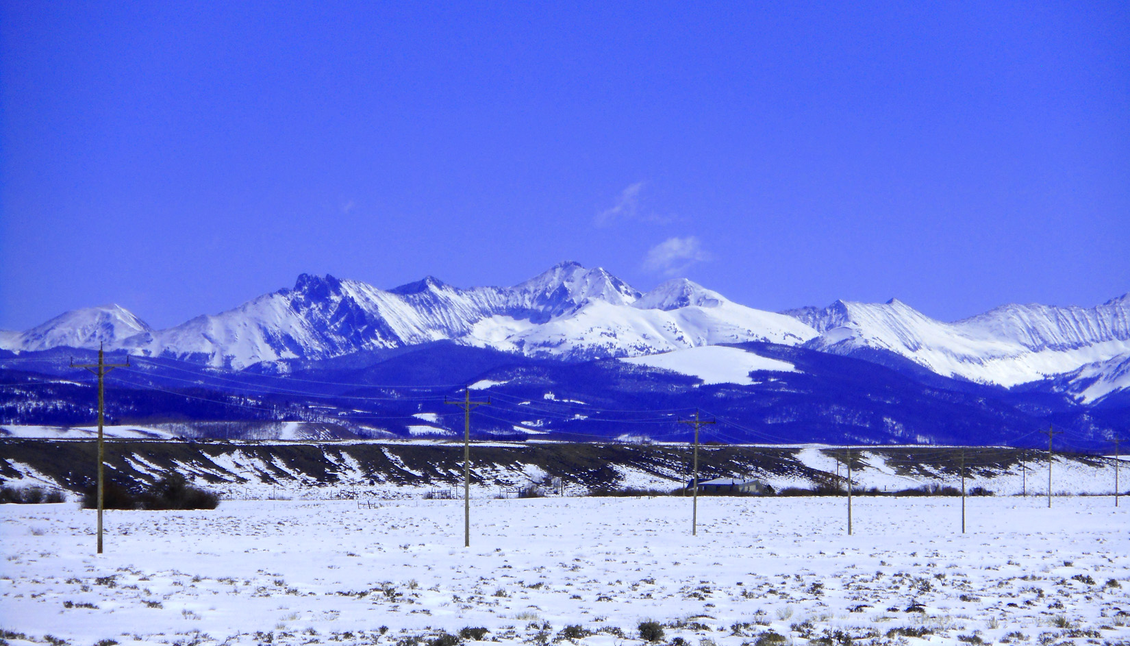
Southern end of the Park Range
Mar 23 2022 - 4:34 pm
Mar 23 2022 - 4:34 pm
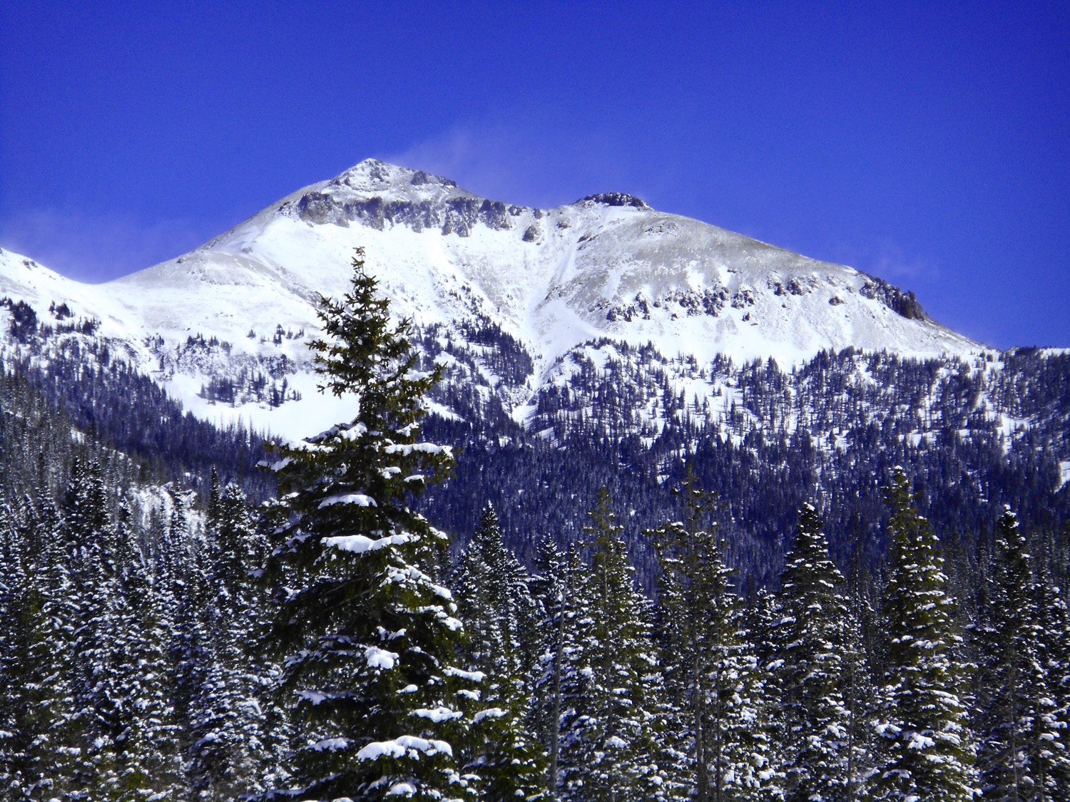
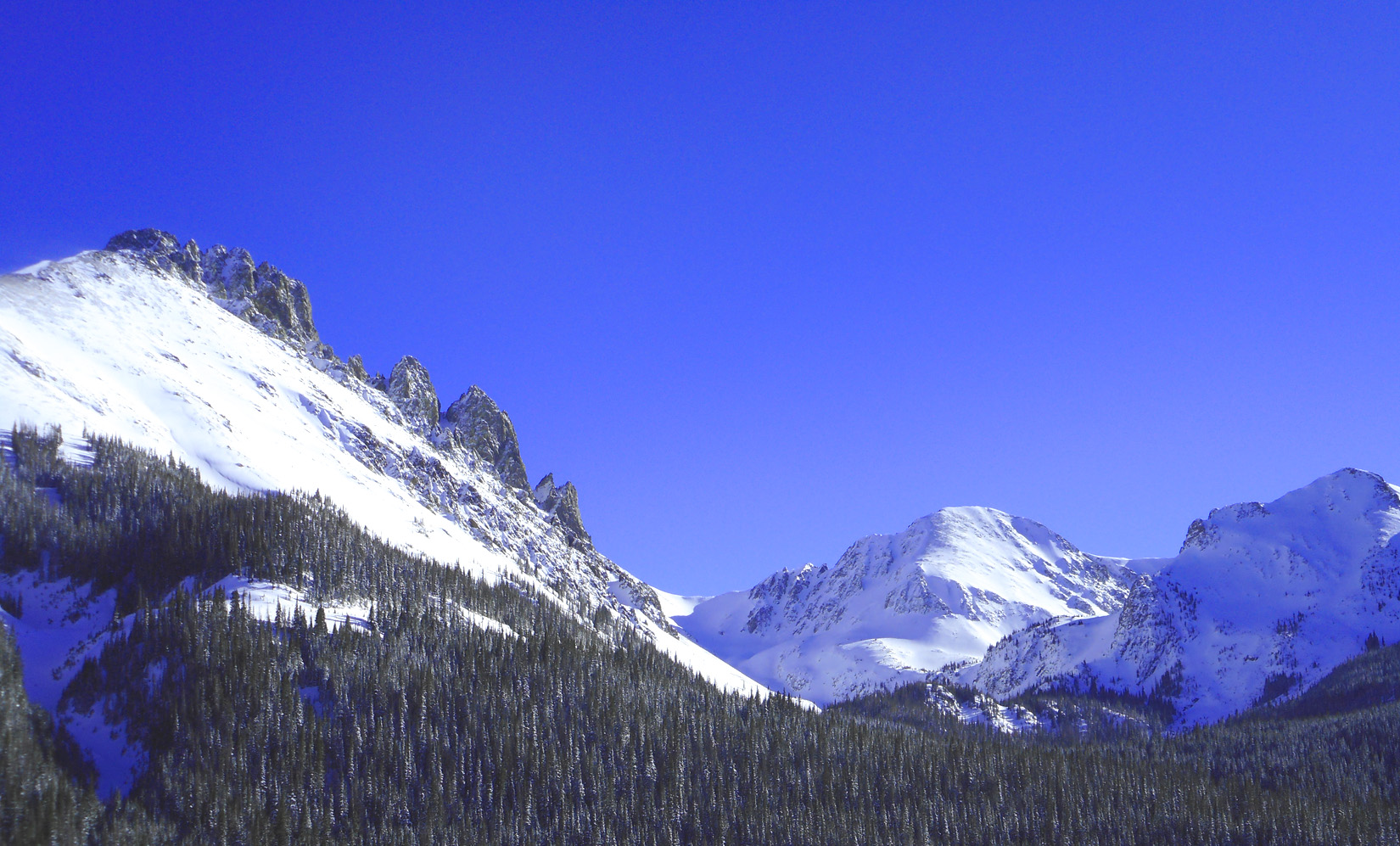
9 / 63
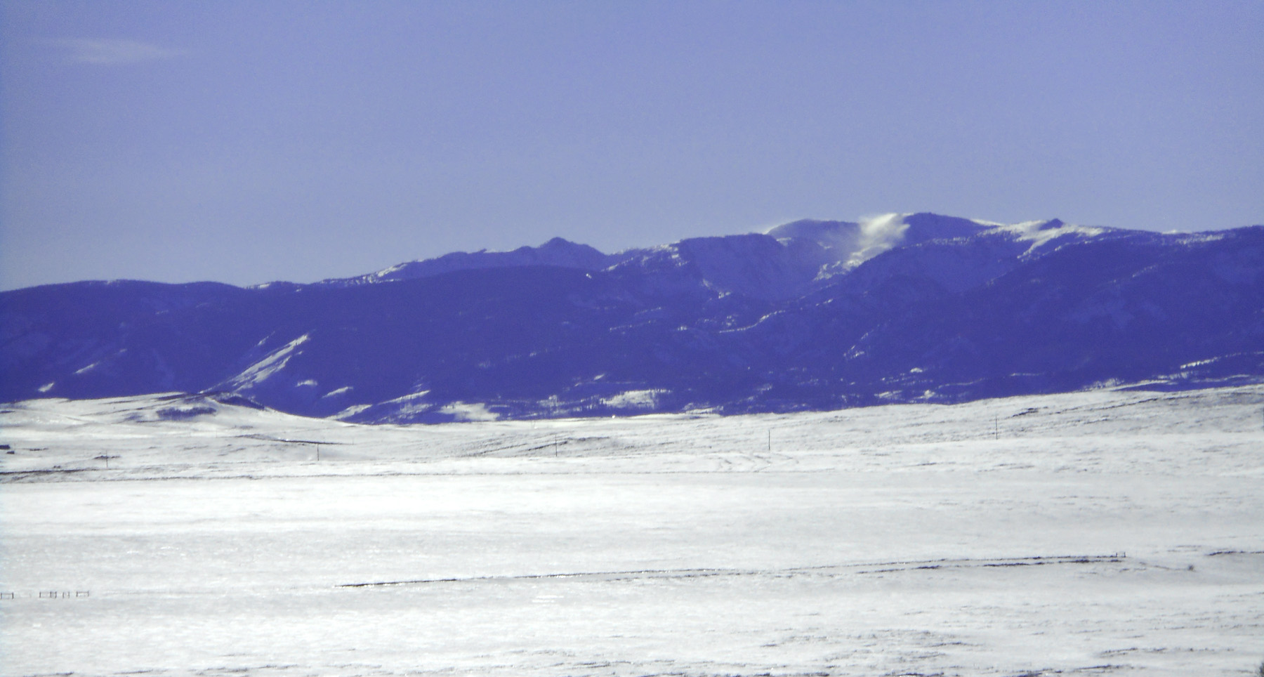
Blowing snow off peaks in the Park Range
Mar 23 2022 - 4:41 pm
Mar 23 2022 - 4:41 pm
10 / 63
Telephoto
Jun 30 2013 - 2:31 pm
Jun 30 2013 - 2:31 pm
11 / 63
Grizzly Creek headwaters
Mar 23 2022 - 10:49 am
Mar 23 2022 - 10:49 am
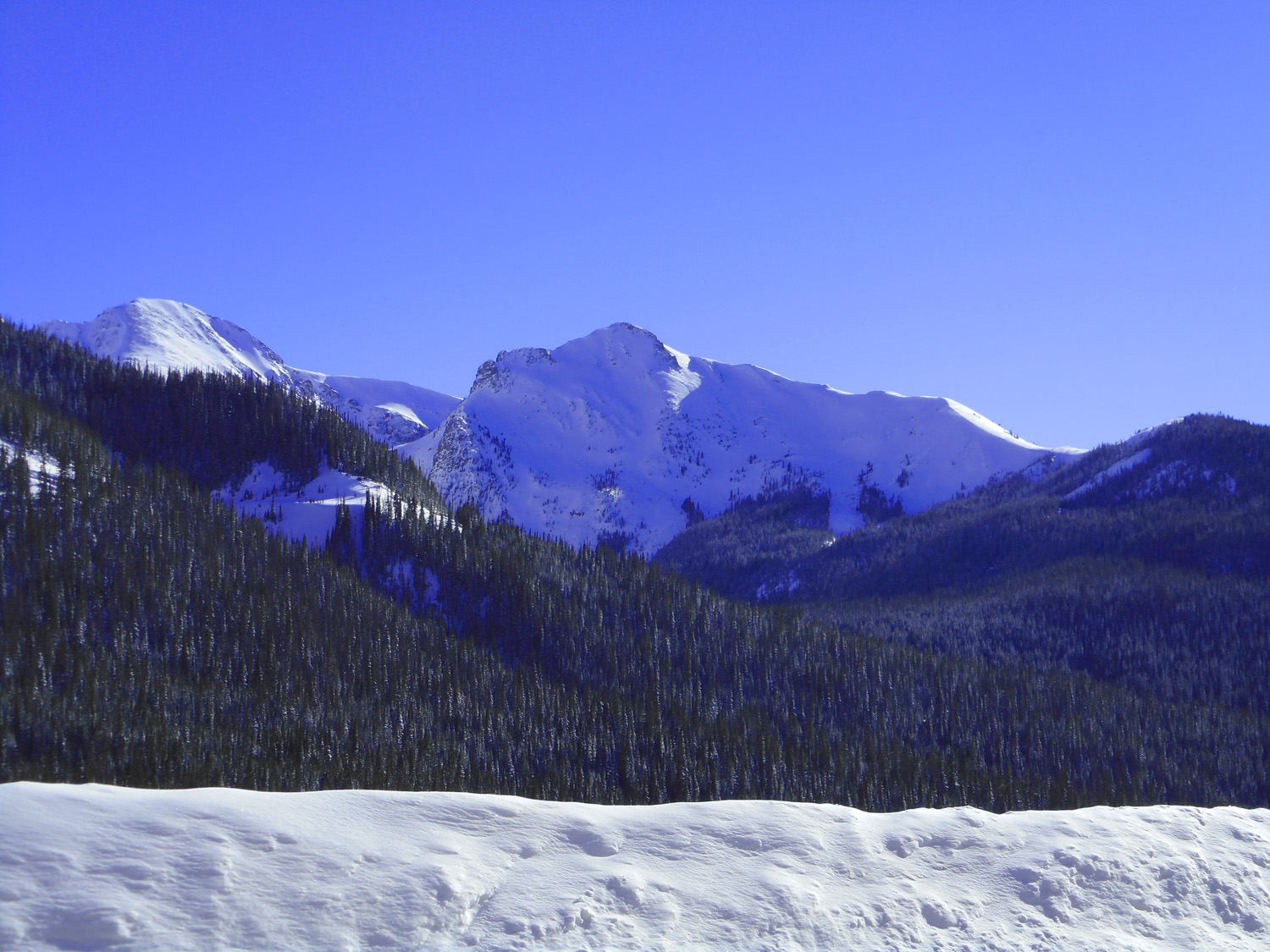
12 / 63
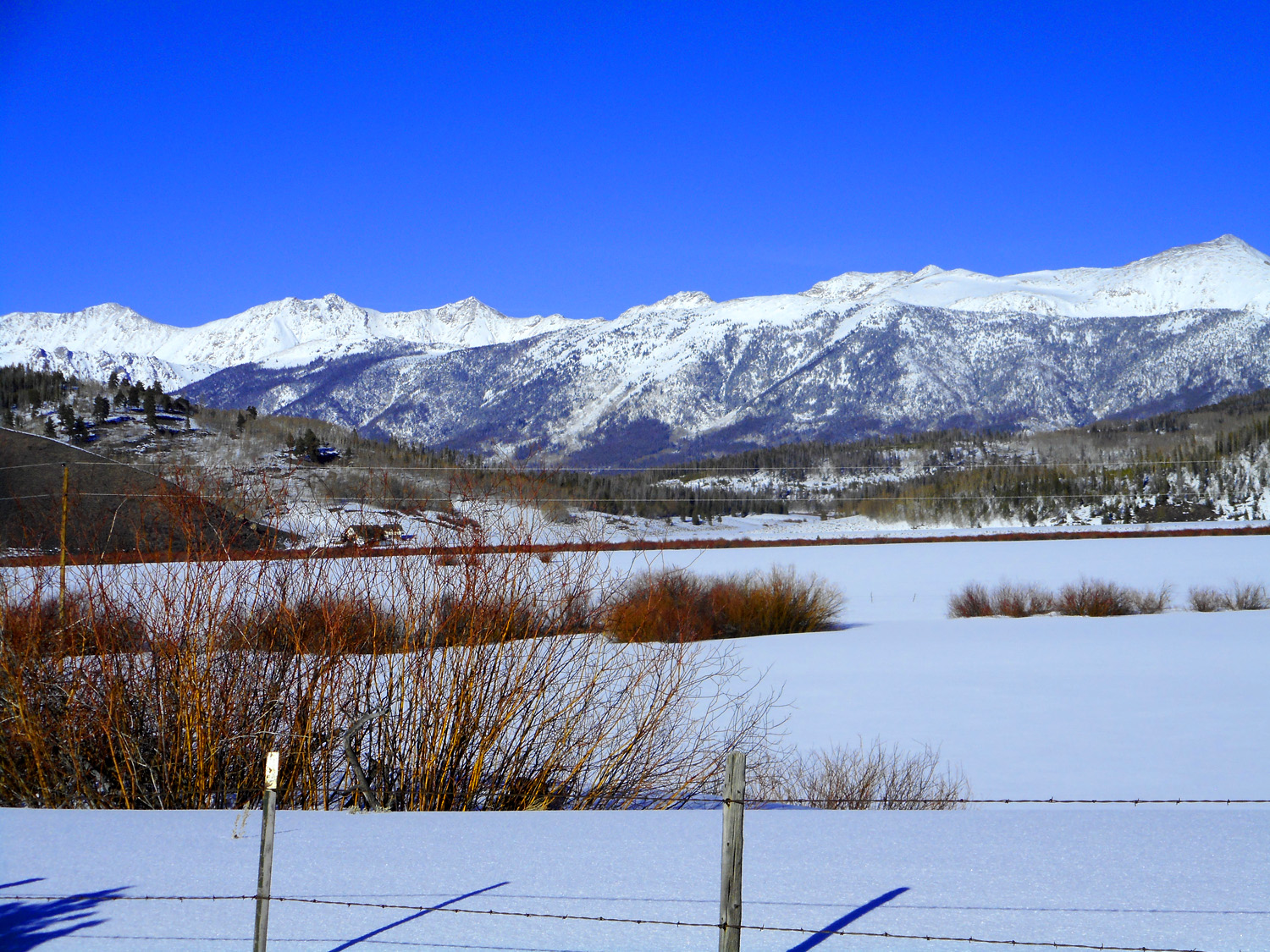
Park Range to the west
Mar 23 2022 - 11:00 am
Mar 23 2022 - 11:00 am
13 / 63
Medicine Bow Range to the east
Mar 23 2022 - 11:01 am
Mar 23 2022 - 11:01 am
14 / 63
Tallest peaks in the Medicine Bow Mountains: North and South Rawah Peaks (12,644', left pair) and Clark Peak (12,951', right most peak)
Mar 23 2022 - 4:26 pm
Mar 23 2022 - 4:26 pm
15 / 63
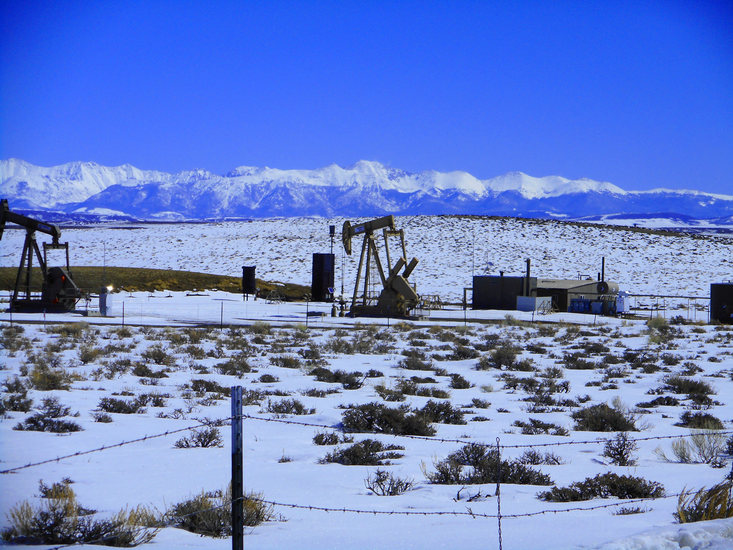
Clark Peak behind the North Park oil field
Mar 23 2022 - 11:05 am
Mar 23 2022 - 11:05 am
16 / 63
Medicine Bow Mountains
Mar 23 2022 - 11:11 am
Mar 23 2022 - 11:11 am
17 / 63
Left on industrial road for a morning view of the Park Range
Mar 23 2022 - 11:14 am
Mar 23 2022 - 11:14 am
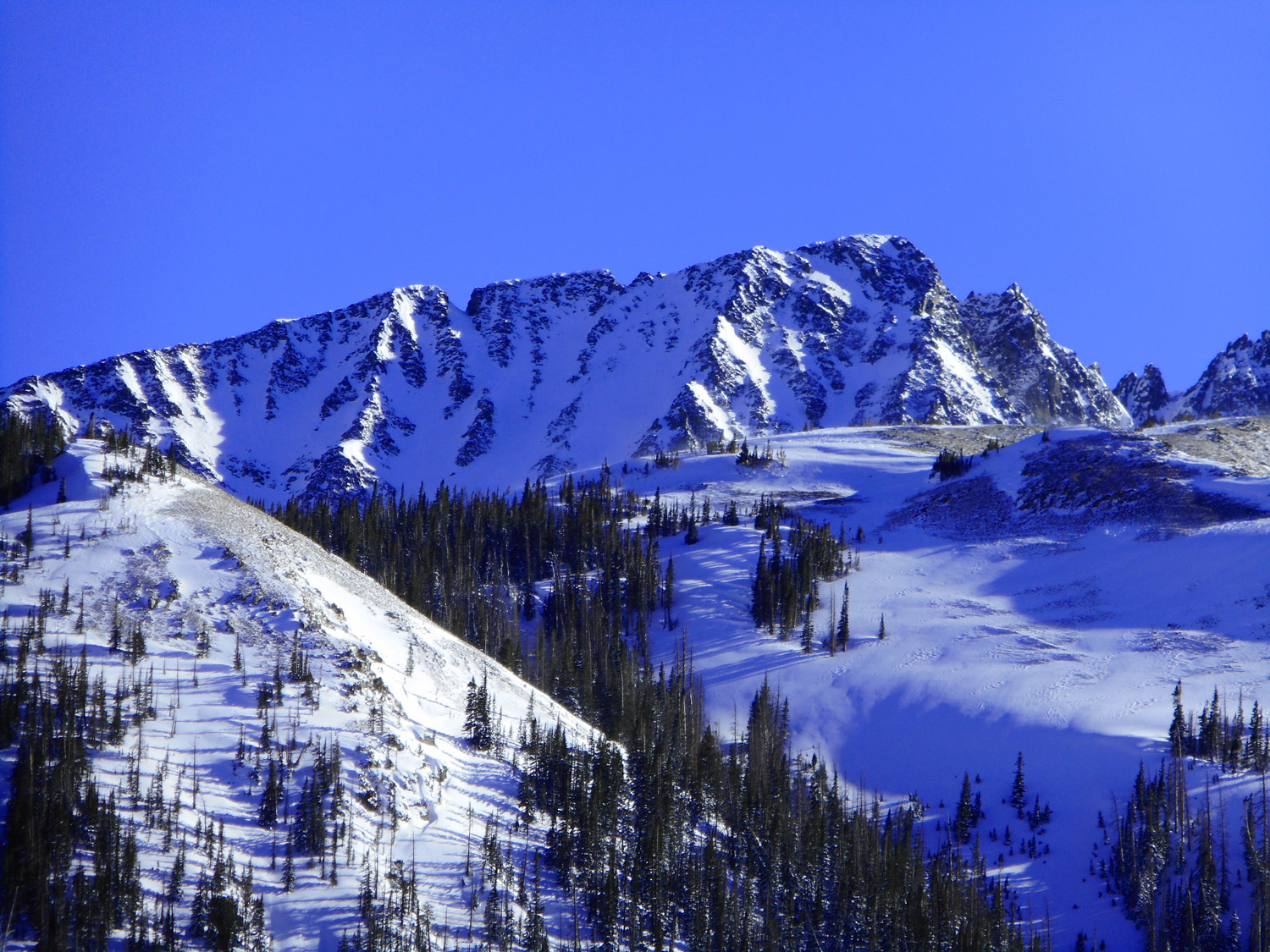
18 / 63
Rawah Peaks
Mar 23 2022 - 11:14 am
Mar 23 2022 - 11:14 am
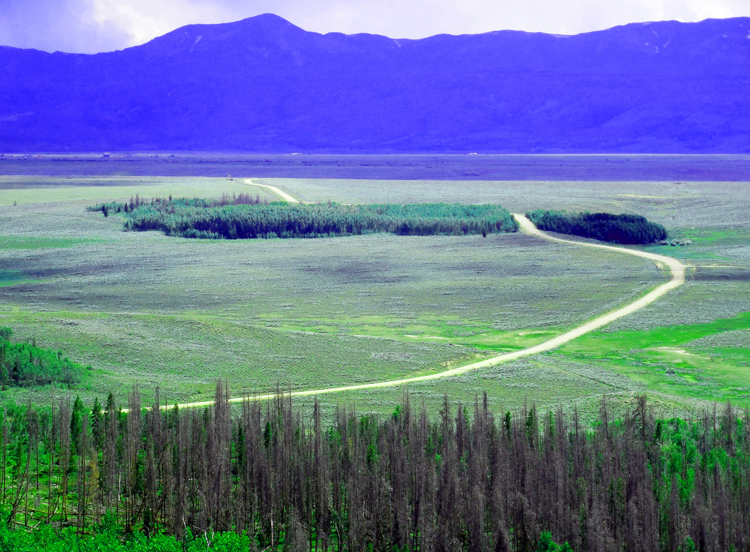
19 / 63
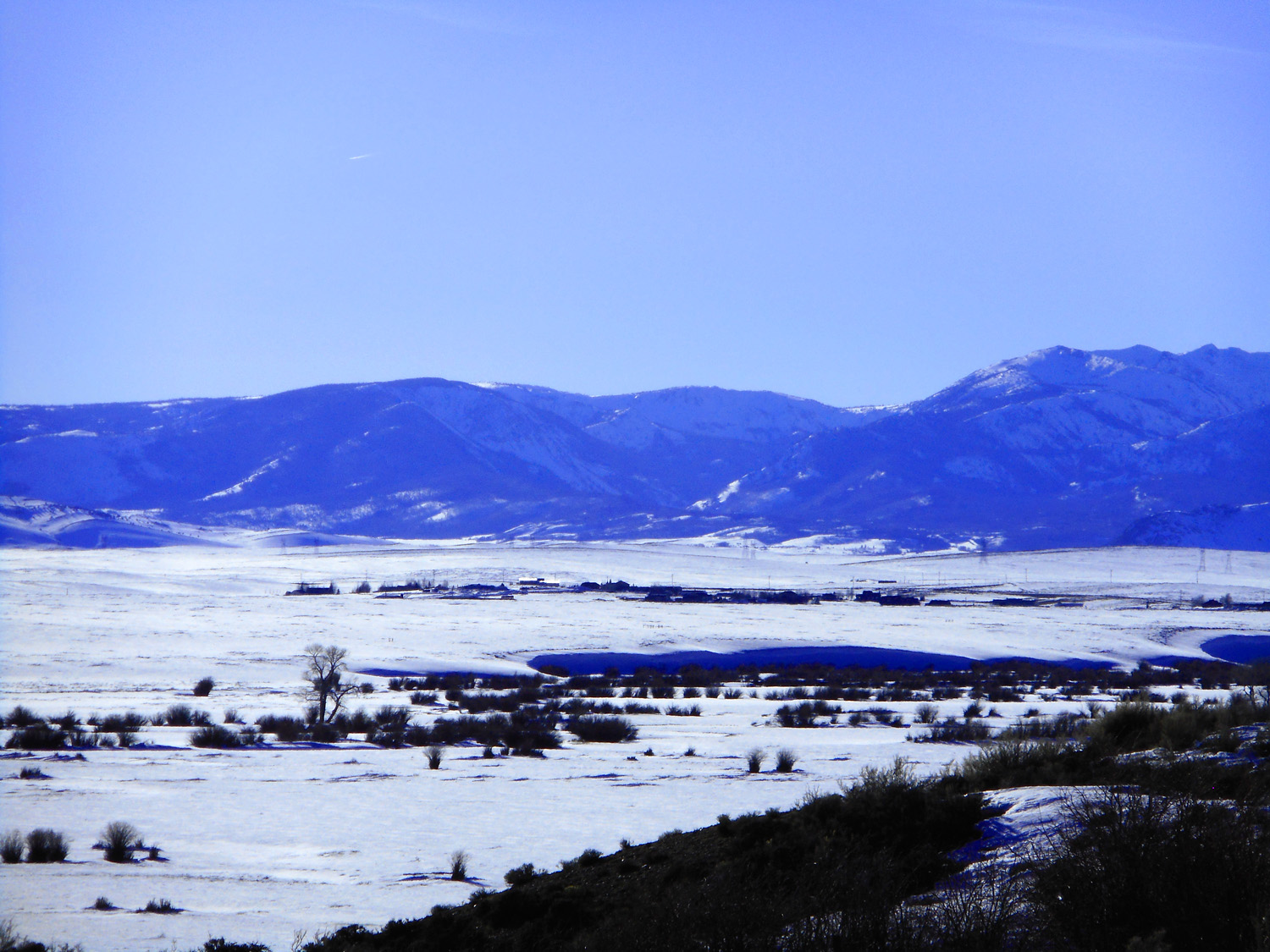
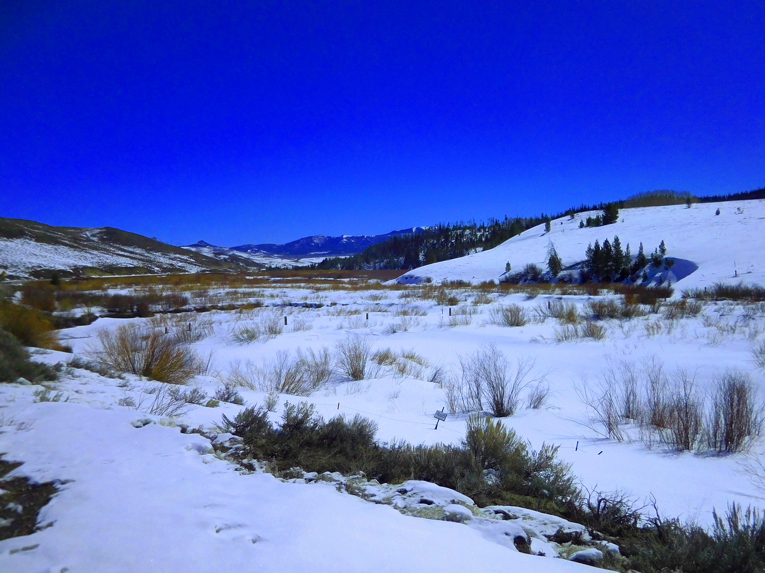
Illinois River terrace
Mar 23 2022 - 11:27 am
Mar 23 2022 - 11:27 am
20 / 63
CO 14 on both sides of Walden: views of the Medicine Bow Mountains
Mar 23 2022 - 11:27 am
Mar 23 2022 - 11:27 am
21 / 63
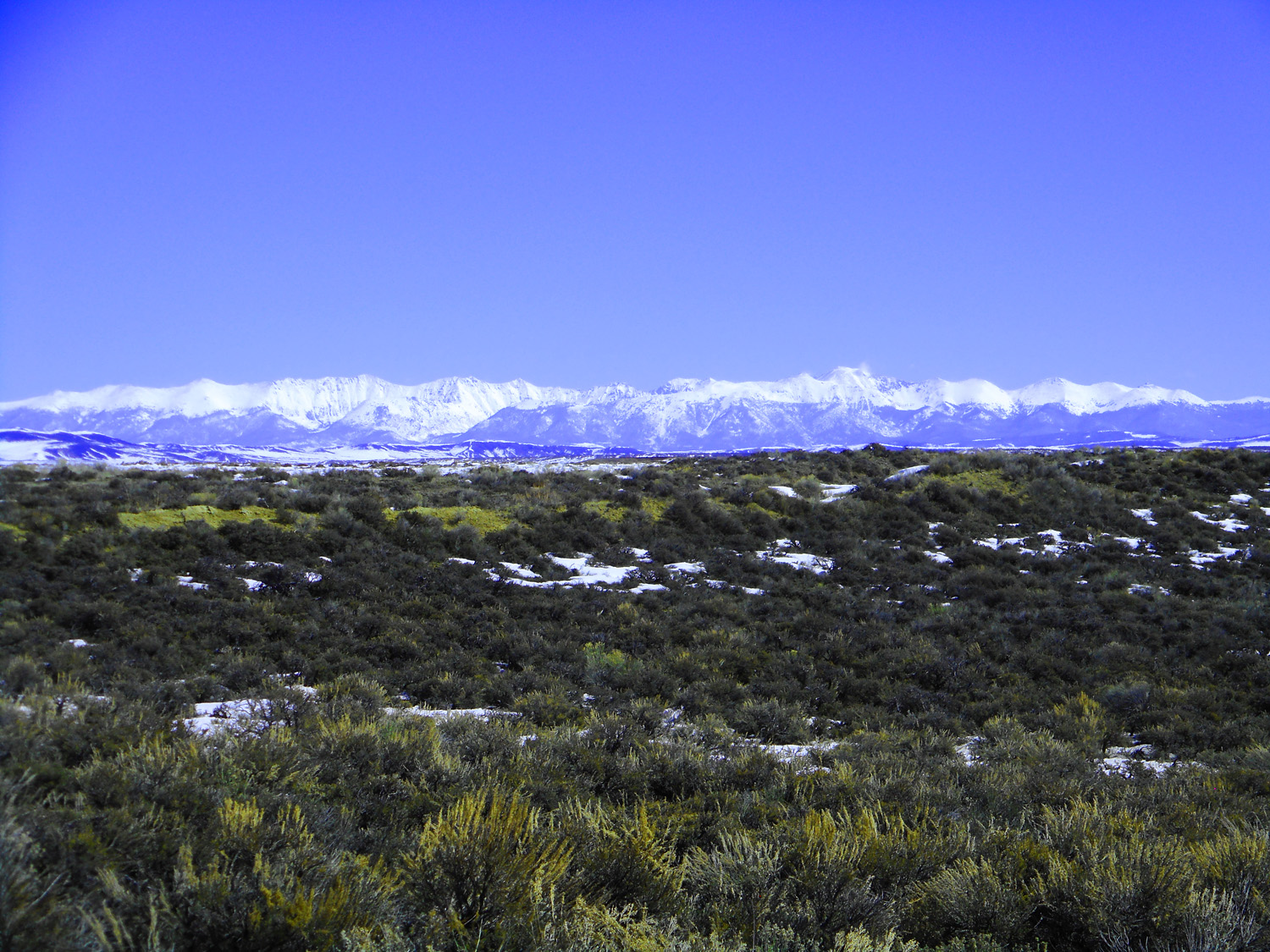
Never Summer Range south of the Medicine Bows
Mar 23 2022 - 11:34 am
Mar 23 2022 - 11:34 am
22 / 63
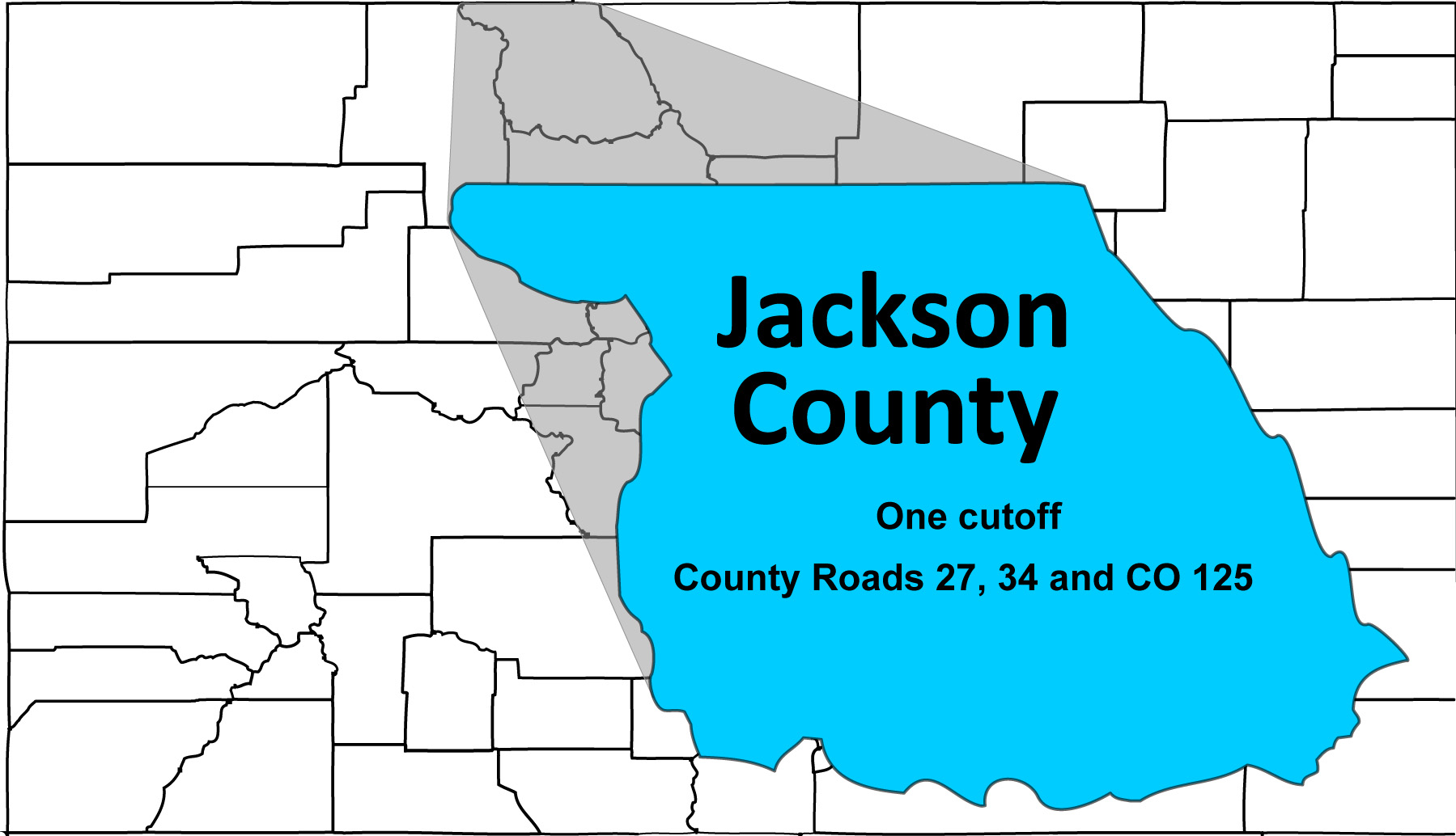
CO 14 cutoff
Jackson Co. 27, State Road CO 125 and Jackson Co. 34 across leg of equilateral triangle formed by CO 14 in North Park
Jackson Co. 27, State Road CO 125 and Jackson Co. 34 across leg of equilateral triangle formed by CO 14 in North Park
23 / 63
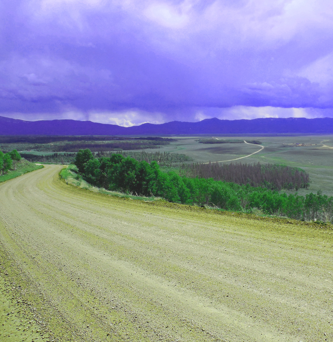
Jackson Co. 34
Mar 23 2022 - 11:42 am
Mar 23 2022 - 11:42 am
24 / 63
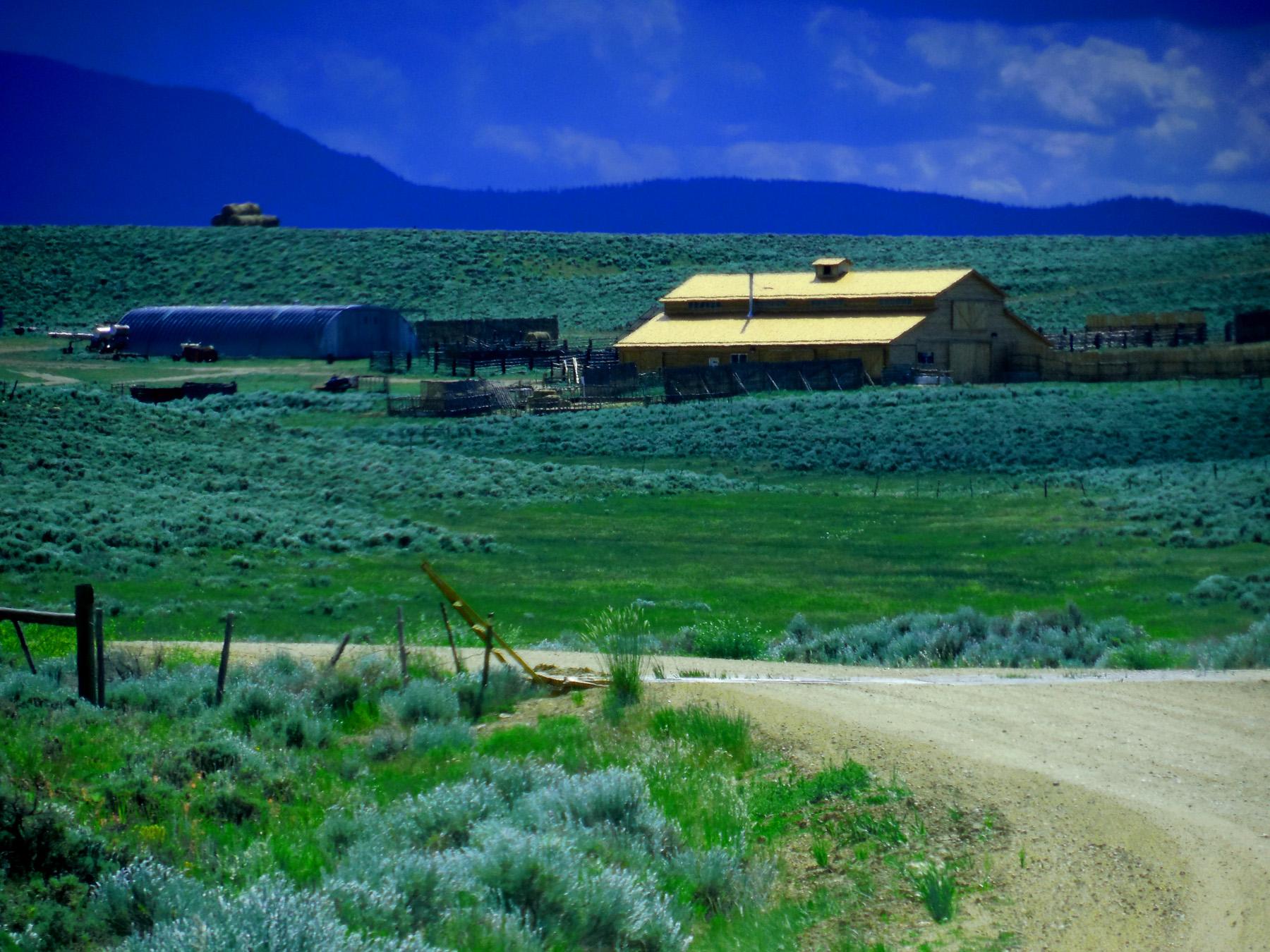
Brand new copper roof (not having time to oxize green)
Mar 23 2022 - 11:46 am
Mar 23 2022 - 11:46 am
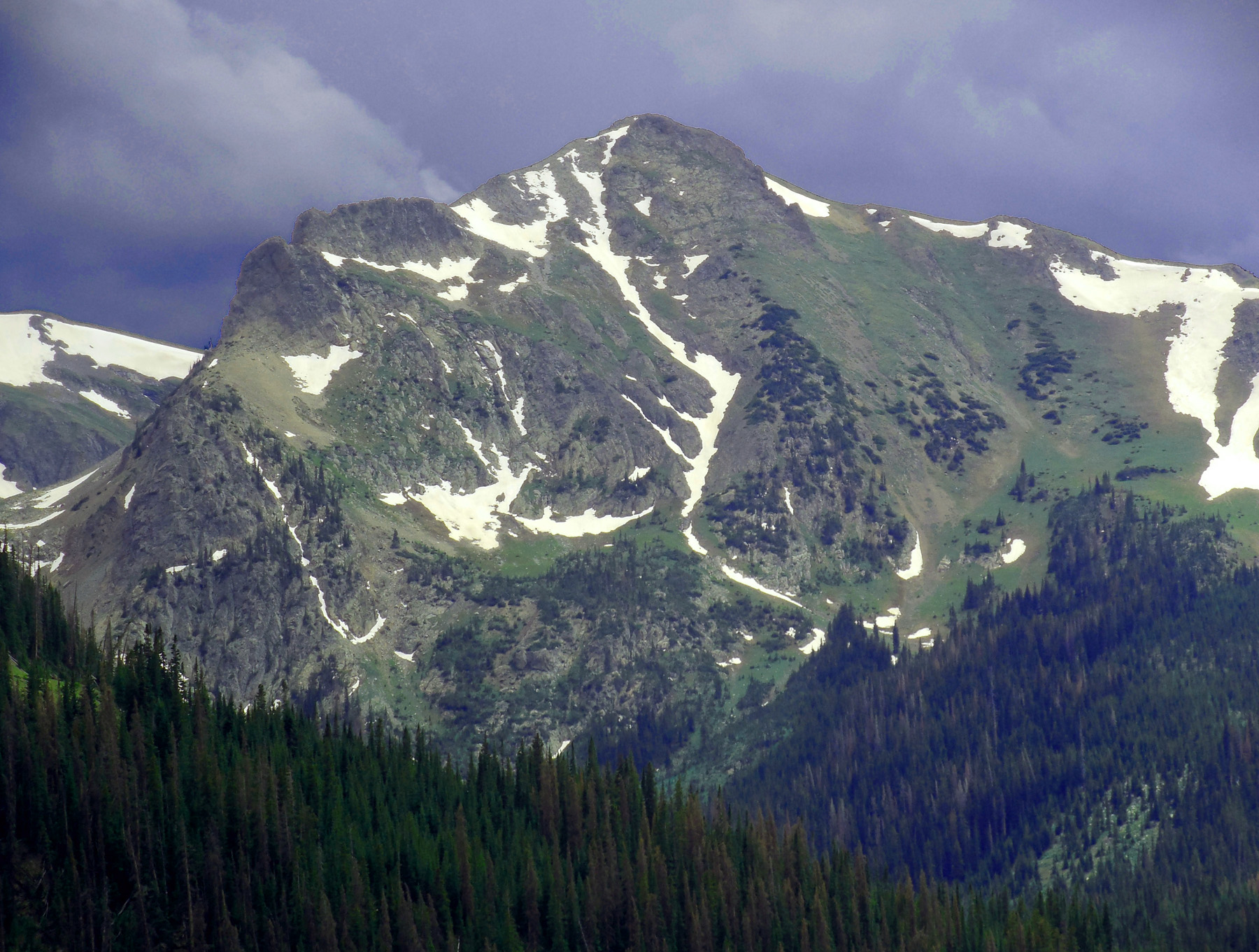
25 / 63
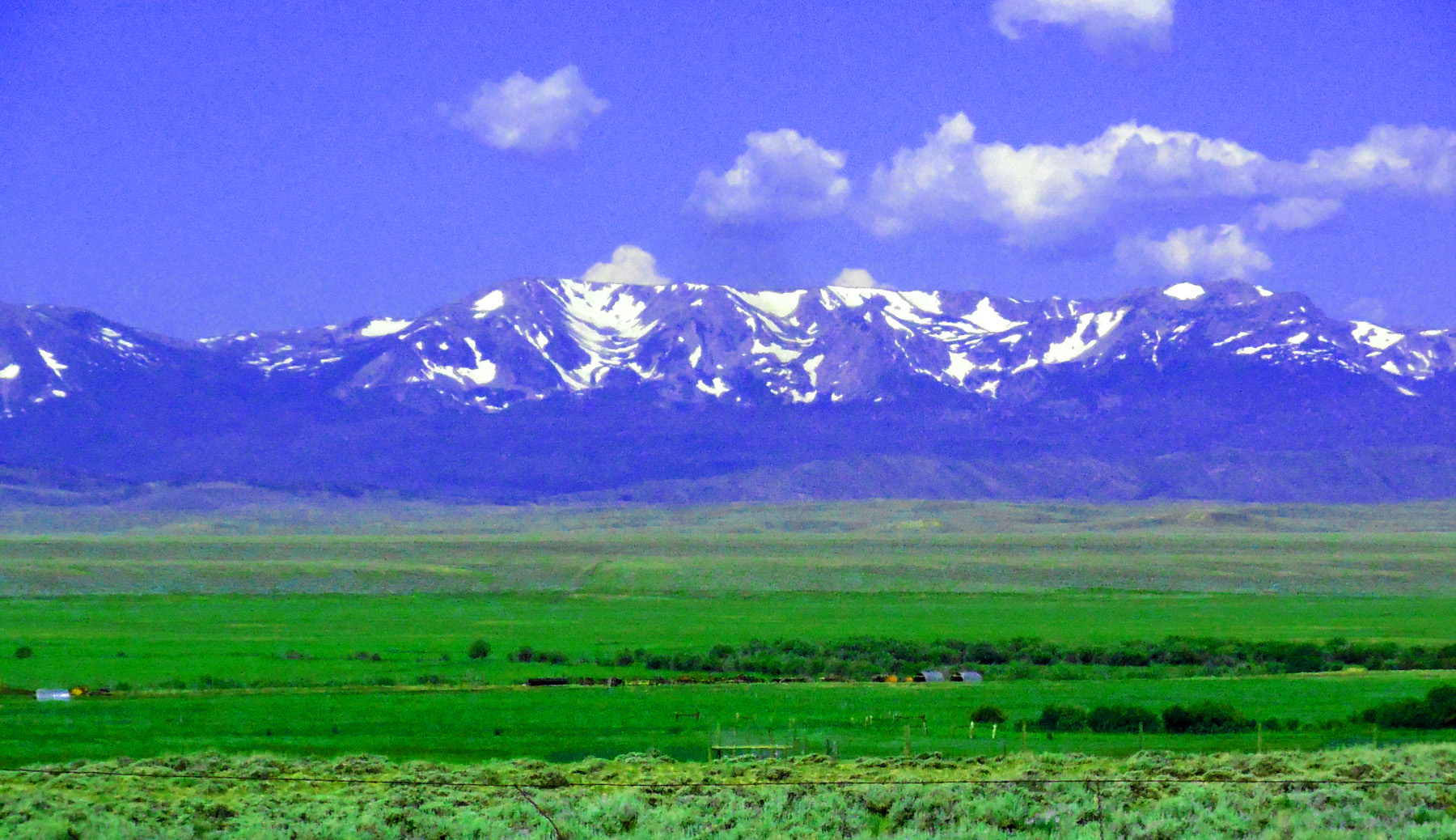
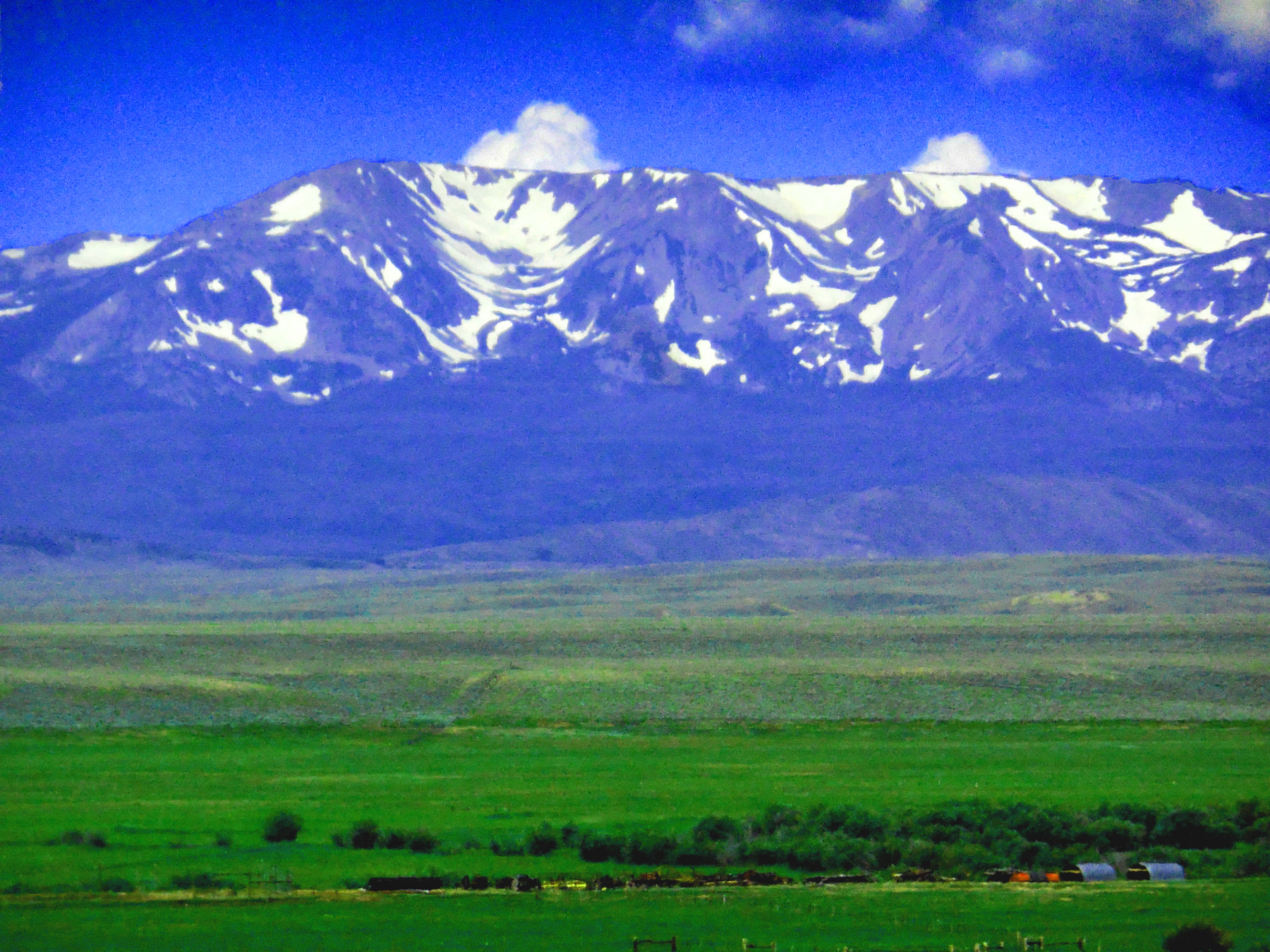
Mt. Zirkel (12,180') in July from CO 125
Jul 13 2017 - 12:20 pm
Jul 13 2017 - 12:20 pm
26 / 63
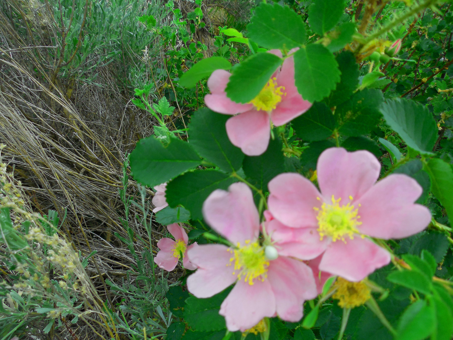
Always time to notice the flowers along the roadside
Jun 30 2013 - 1:06 pm
Jun 30 2013 - 1:06 pm
27 / 63
Jackson Co. 27
Jun 30 2013 - 2:31 pm
Jun 30 2013 - 2:31 pm
28 / 63

Walden (the point opposite cutoff leg of equilateral triangle)
Mar 23 2022 - 11:40 am
Mar 23 2022 - 11:40 am
29 / 63
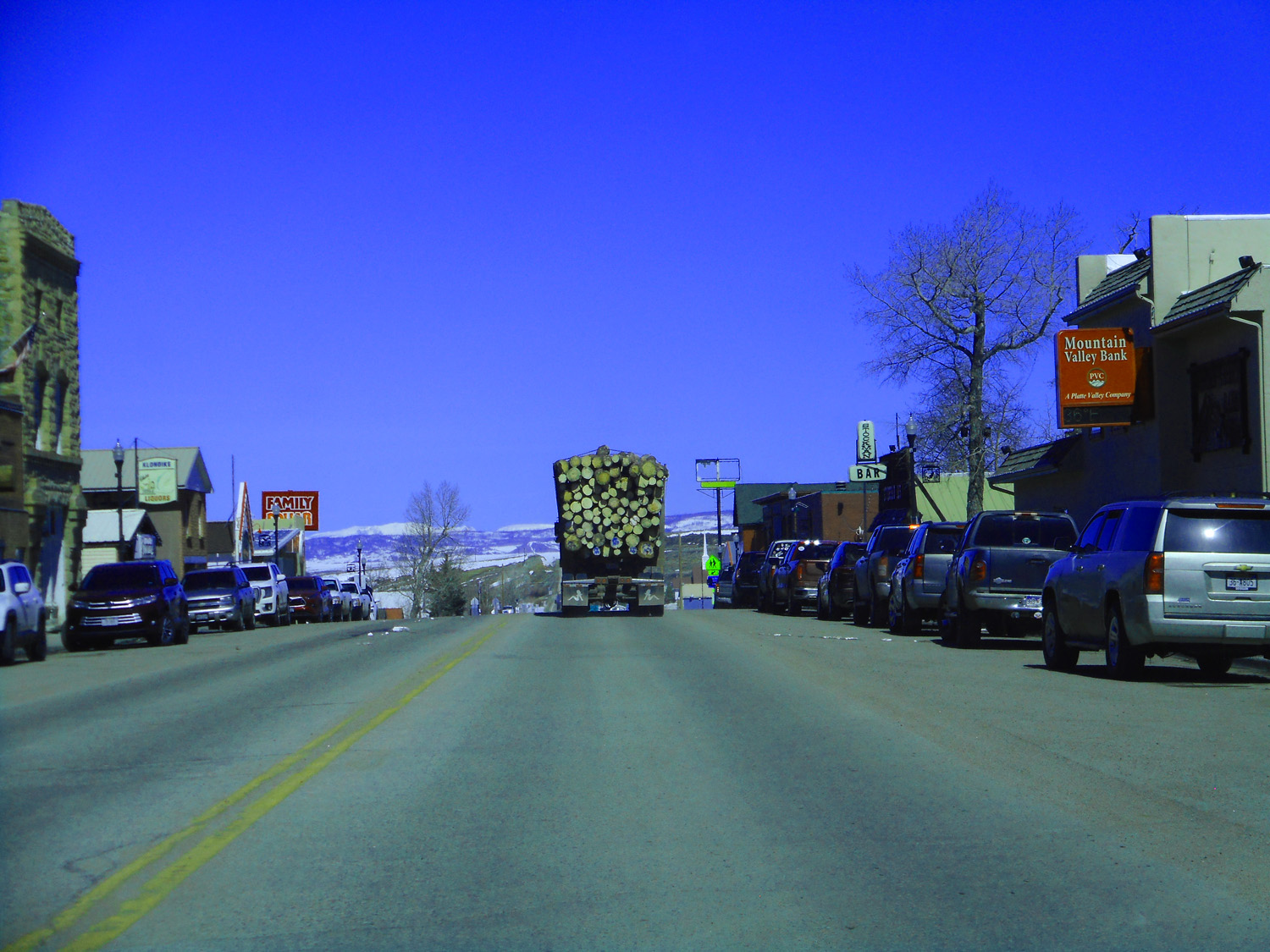
Downtown Walden
Mar 23 2022 - 11:42 am
Mar 23 2022 - 11:42 am
30 / 63
Colorado Scenic Byway (attached to a parking sign [multiple use of signposts]
Mar 23 2022 - 11:46 am
Mar 23 2022 - 11:46 am
31 / 63
Scenic view along the Scenic Byway
Mar 23 2022 - 4:17 pm
Mar 23 2022 - 4:17 pm
32 / 63
Nokhu Crags (12,490' left); Mt. Richthofen (12,940' center) anchoring the north end of the Never Summer Range
Mar 23 2022 - 11:58 am
Mar 23 2022 - 11:58 am
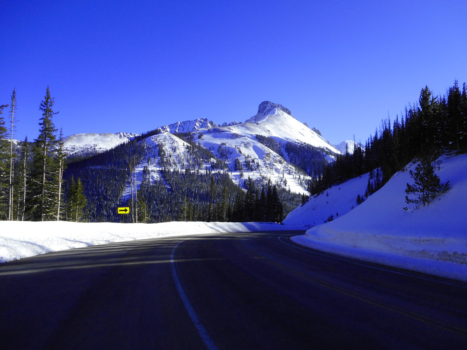
33 / 63
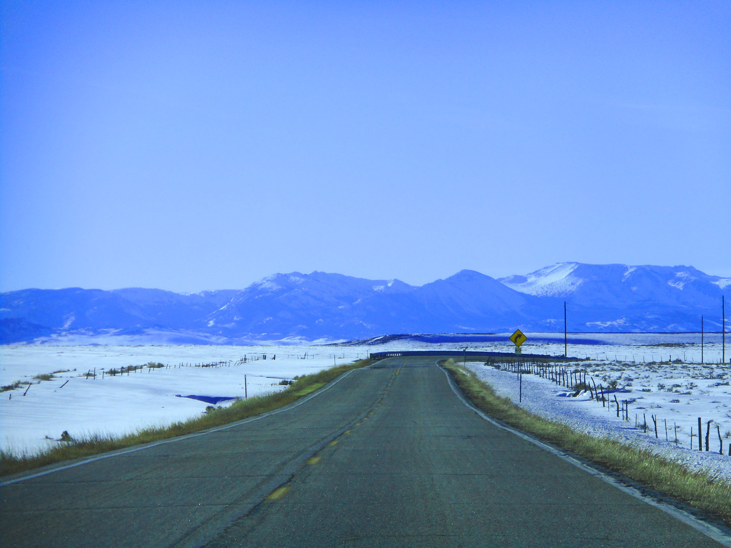
Rawah Peaks still visible until the next turn
Mar 23 2022 - 12:01 pm
Mar 23 2022 - 12:01 pm
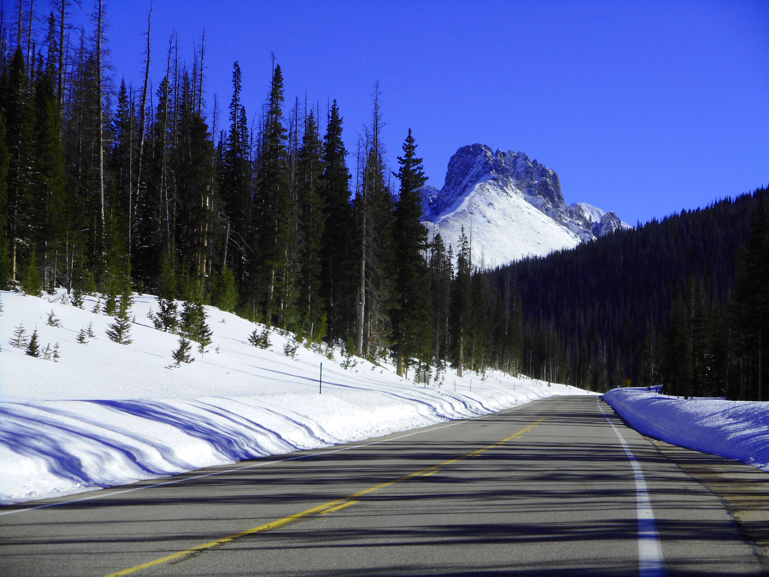
34 / 63
Approaching the Nokhu Crags
Mar 23 2022 - 12:13 pm
Mar 23 2022 - 12:13 pm
35 / 63
Nokhu Crags in March
Mar 23 2022 - 4:05 pm
Mar 23 2022 - 4:05 pm
36 / 63
Nokhu Crags in June
Jun 30 2013 - 2:00 pm
Jun 30 2013 - 2:00 pm
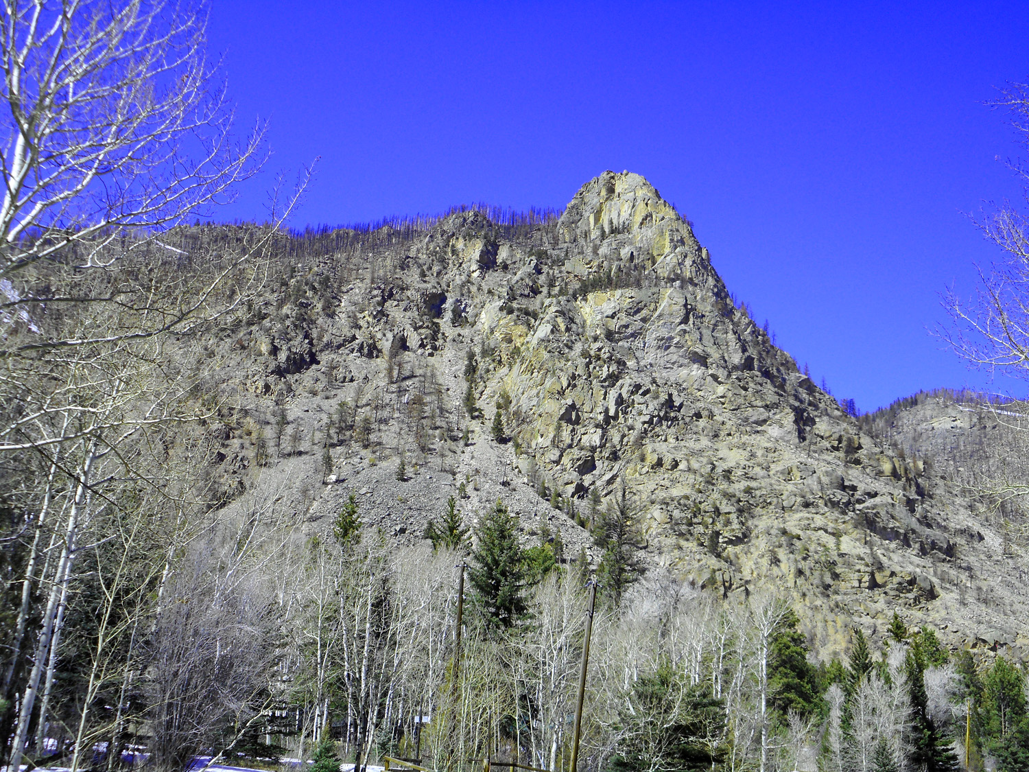
37 / 63
Mancos Shale forms the Nokhu Crags (capping this mountain rather than forming valleys)
Mar 23 2022 - 4:00 pm
Mar 23 2022 - 4:00 pm
38 / 63
View from North Park Scenic Byway
Mar 23 2022 - 12:19 pm
Mar 23 2022 - 12:19 pm
39 / 63
Mt. Richthofen in June
Jun 30 2013 - 2:01 pm
Jun 30 2013 - 2:01 pm
40 / 63
Mt. Richthofen in March
Mar 23 2022 - 4:08 pm
Mar 23 2022 - 4:08 pm
41 / 63
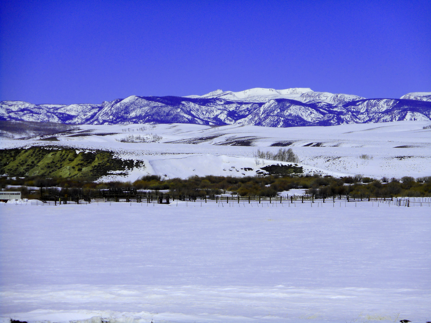
Diamond Peaks (11,858')
Mar 23 2022 - 4:06 pm
Mar 23 2022 - 4:06 pm
42 / 63
Static Peak (12,571', north end of Never Summer Range)
Mar 23 2022 - 4:04 pm
Mar 23 2022 - 4:04 pm
43 / 63
Nokhu Crags and Mt. Richthofen
Mar 23 2022 - 4:10 pm
Mar 23 2022 - 4:10 pm
44 / 63
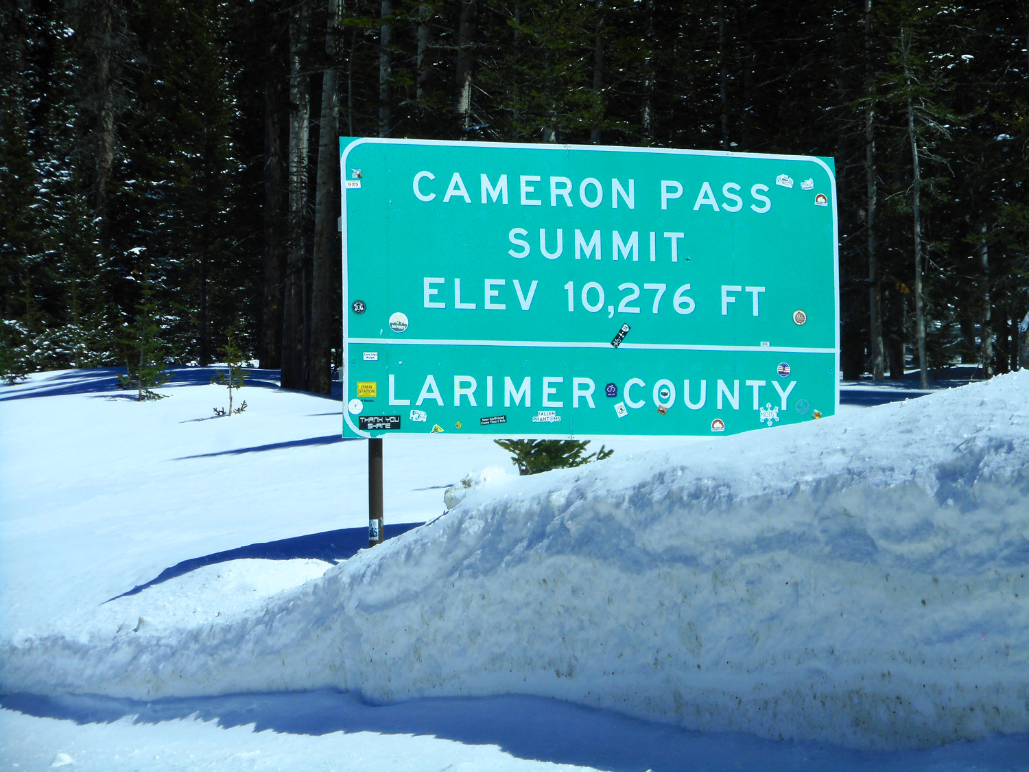
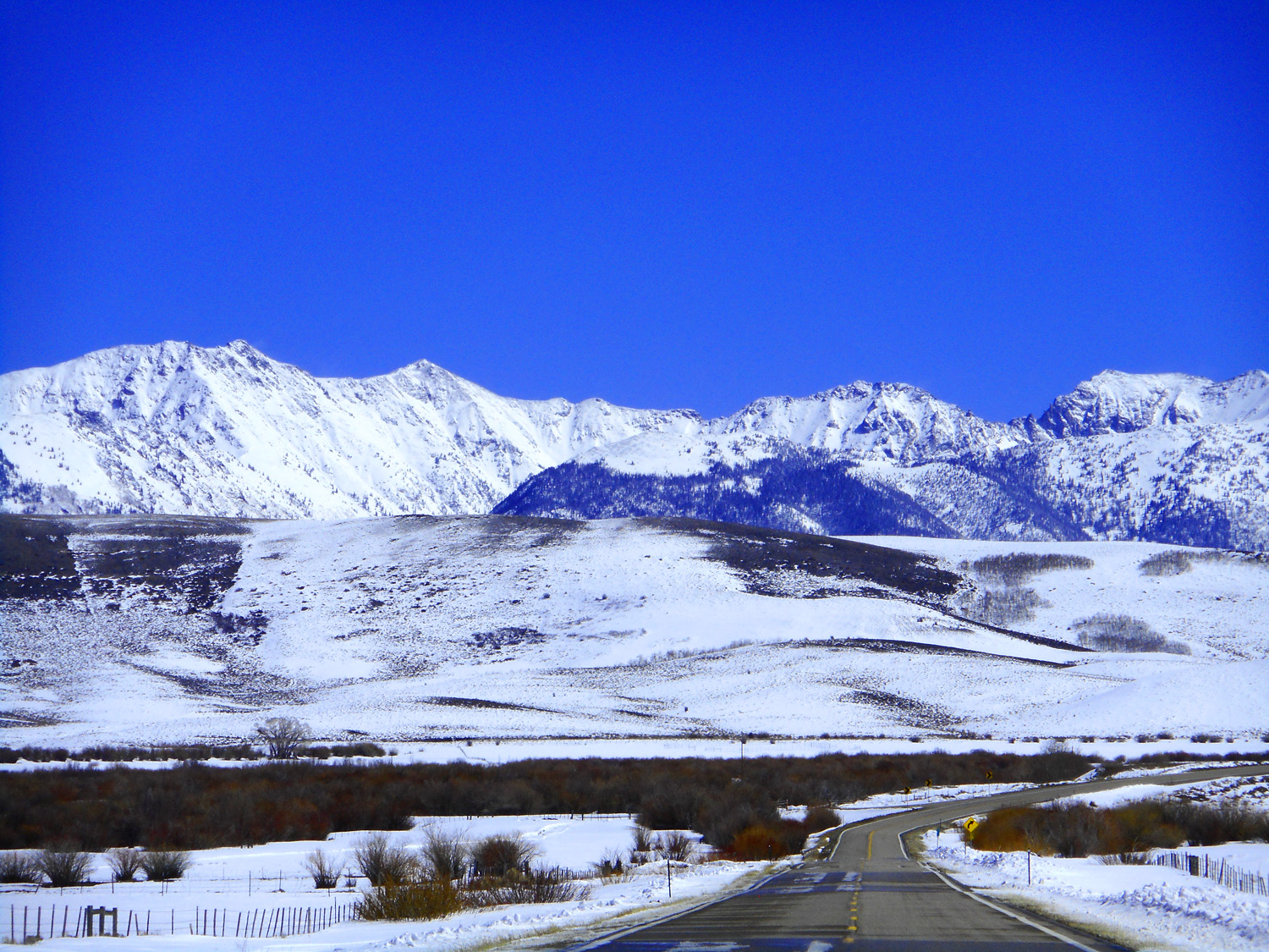
Cameron Pass
Mar 23 2022 - 12:26 pm
Mar 23 2022 - 12:26 pm
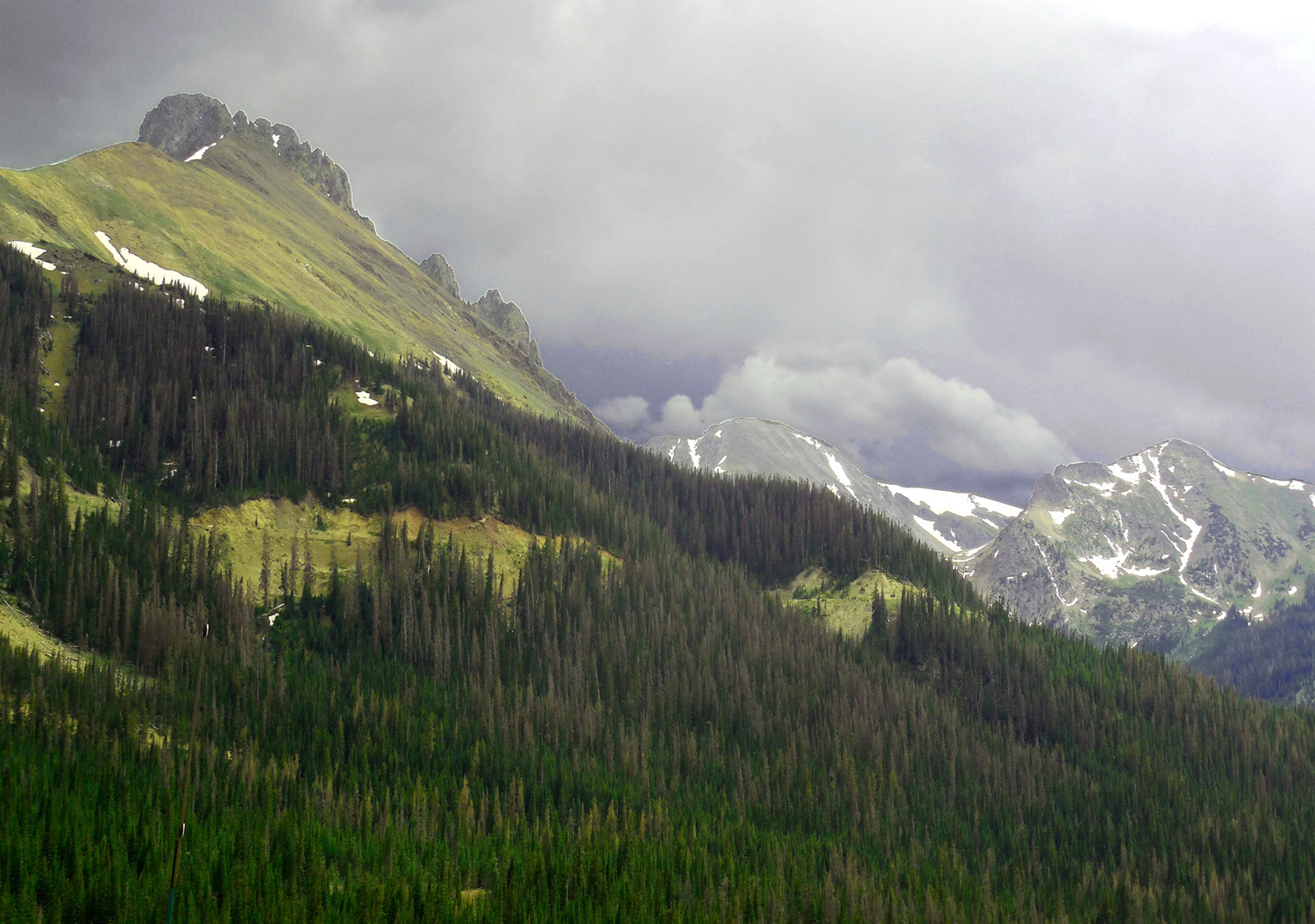
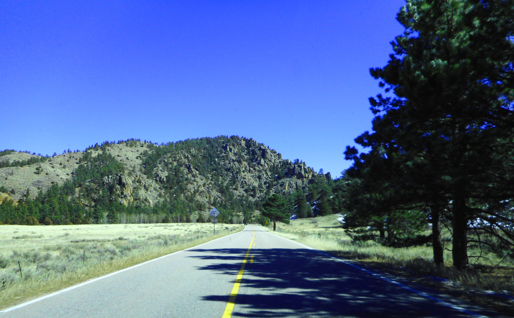
45 / 63
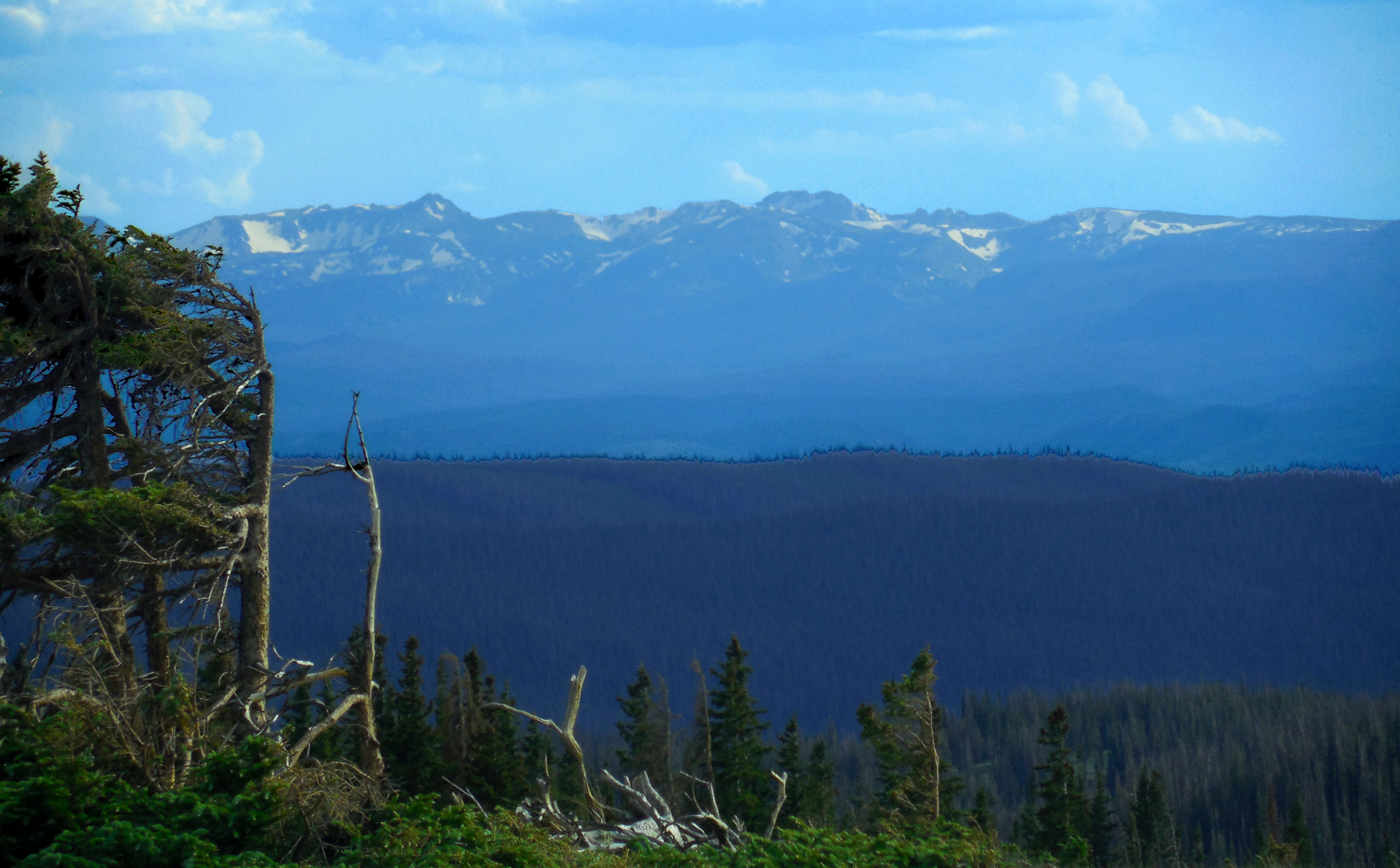
Last of the Park Range before plunging into Cache La Poudre Canyon
Jun 30 2013 - 1:31 pm
Jun 30 2013 - 1:31 pm
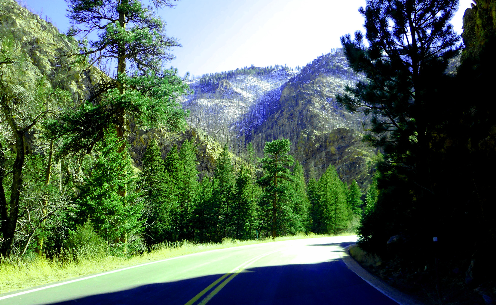
46 / 63
The canyon
Mar 23 2022 - 12:39 pm
Mar 23 2022 - 12:39 pm
47 / 63
Carved by the Cache La Pourdre River
Mar 23 2022 - 12:41 pm
Mar 23 2022 - 12:41 pm
48 / 63
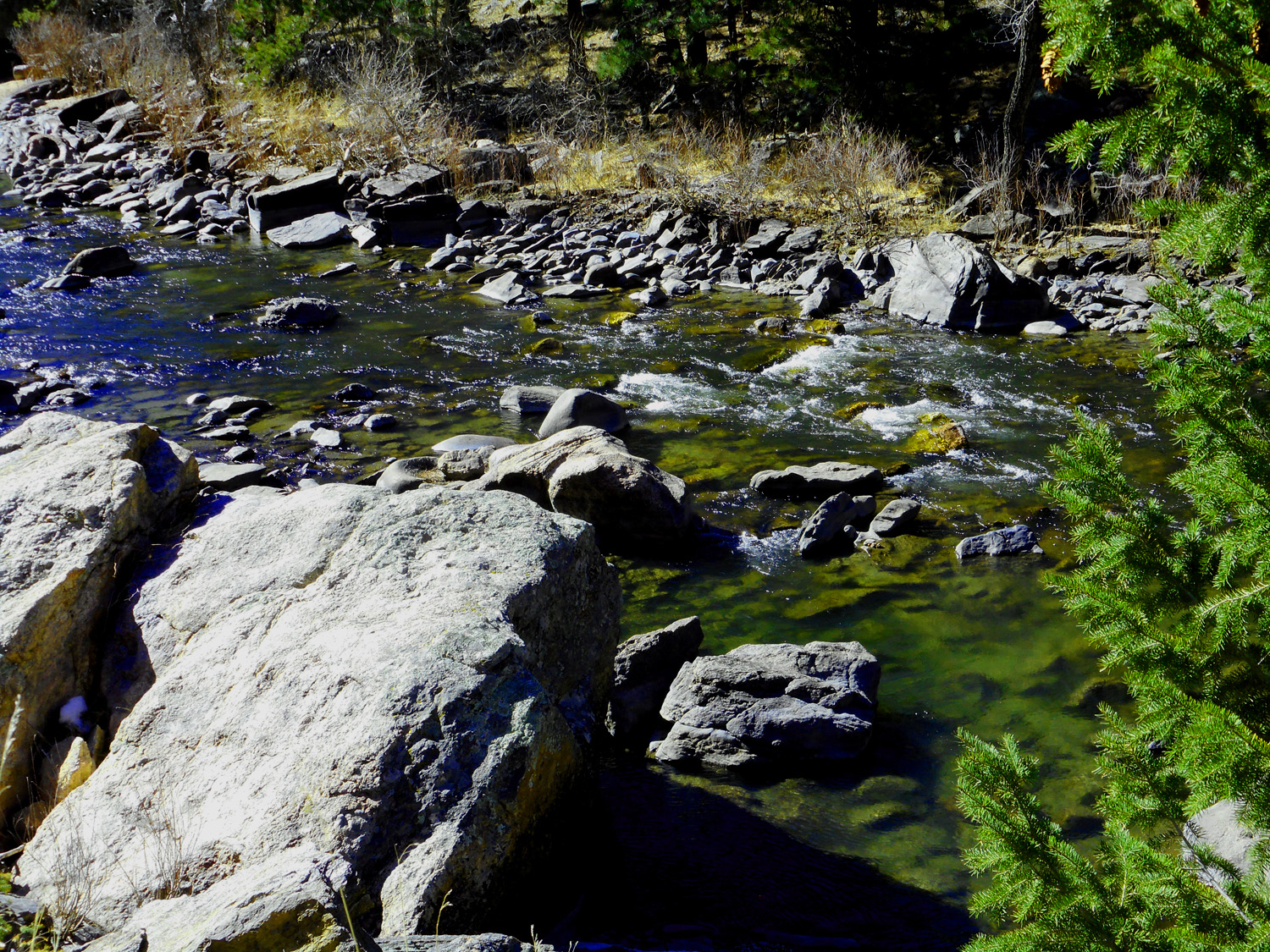
Cache La Pourdre River is able to move large boulders
Mar 23 2022 - 2:40 pm
Mar 23 2022 - 2:40 pm
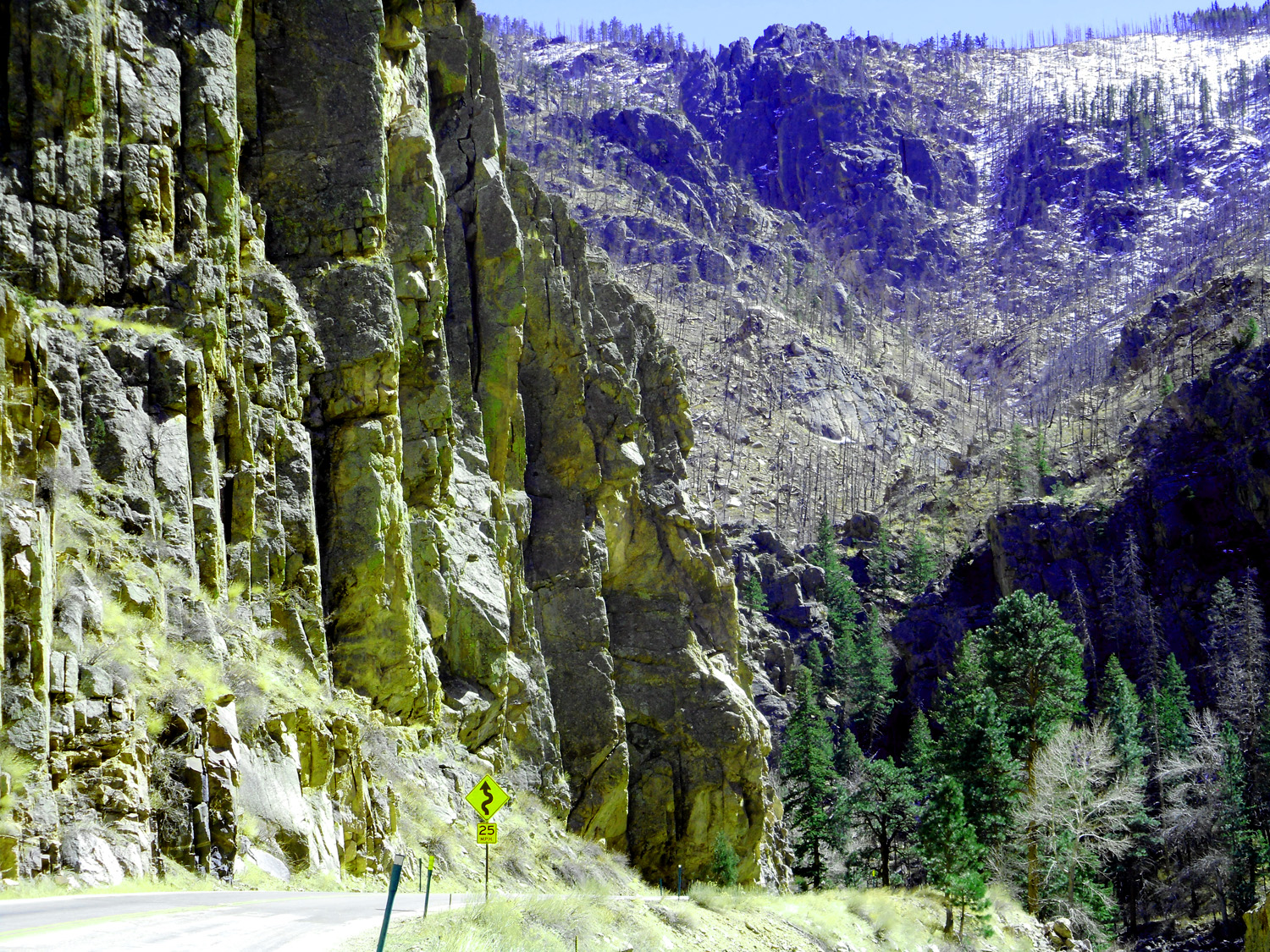
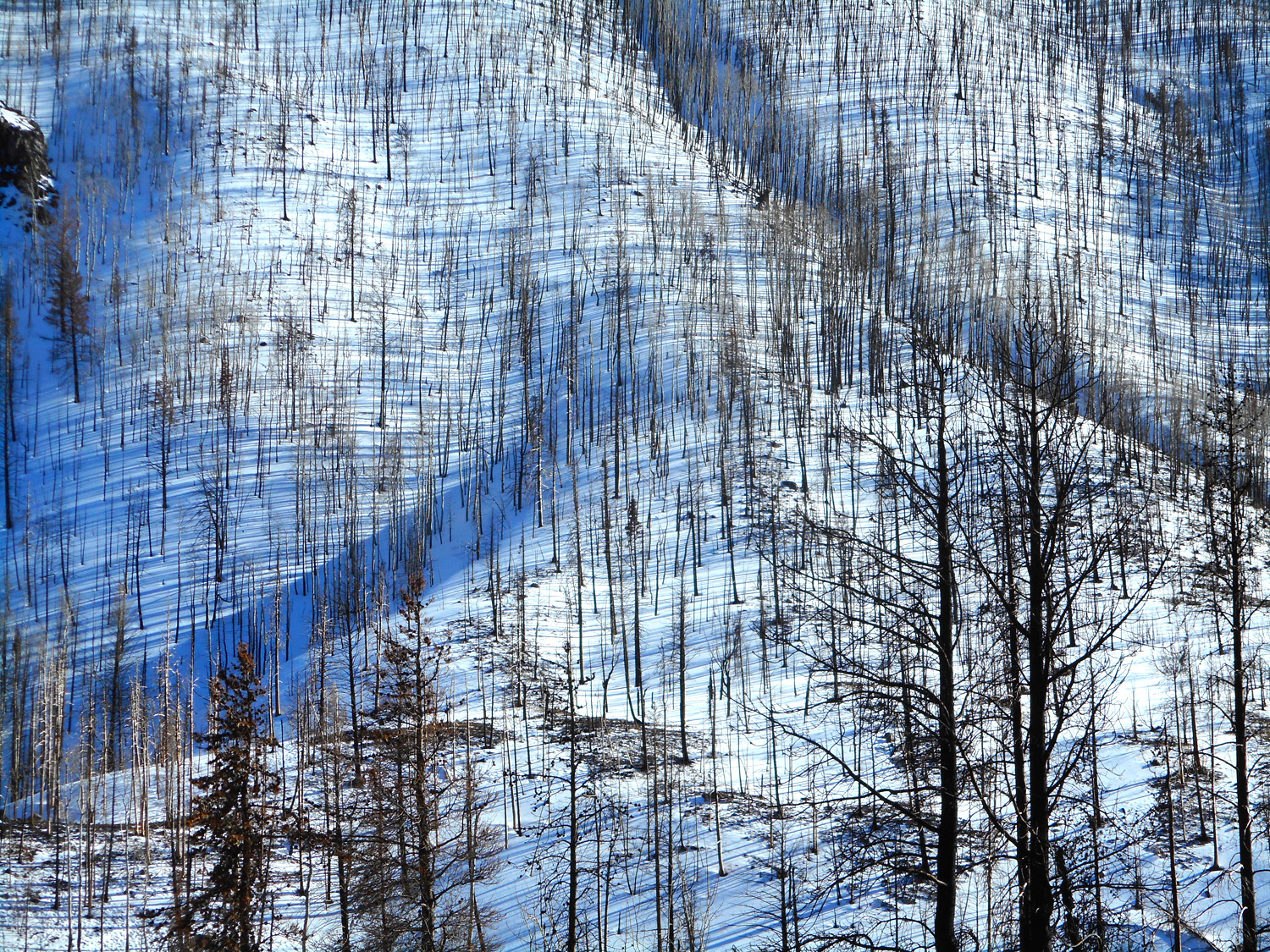
49 / 63
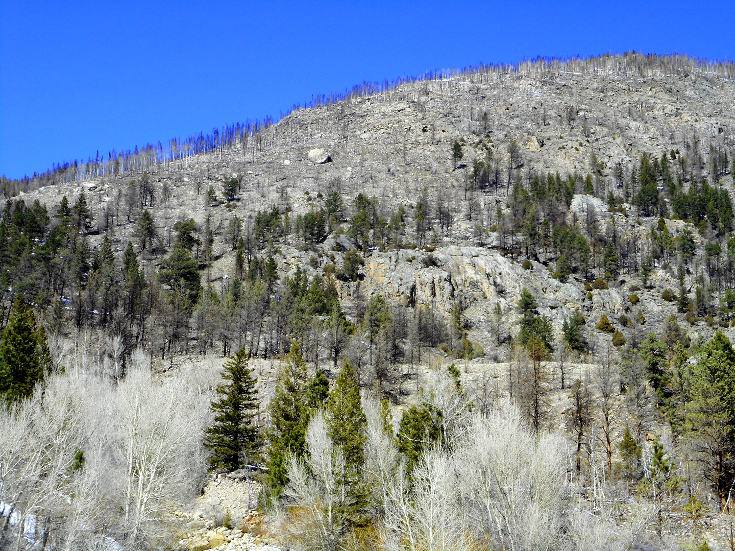
Forest fires in 2012 and 2020 burned much the Cache La Pourdre watershed
Mar 23 2022 - 12:43 pm
Mar 23 2022 - 12:43 pm
50 / 63
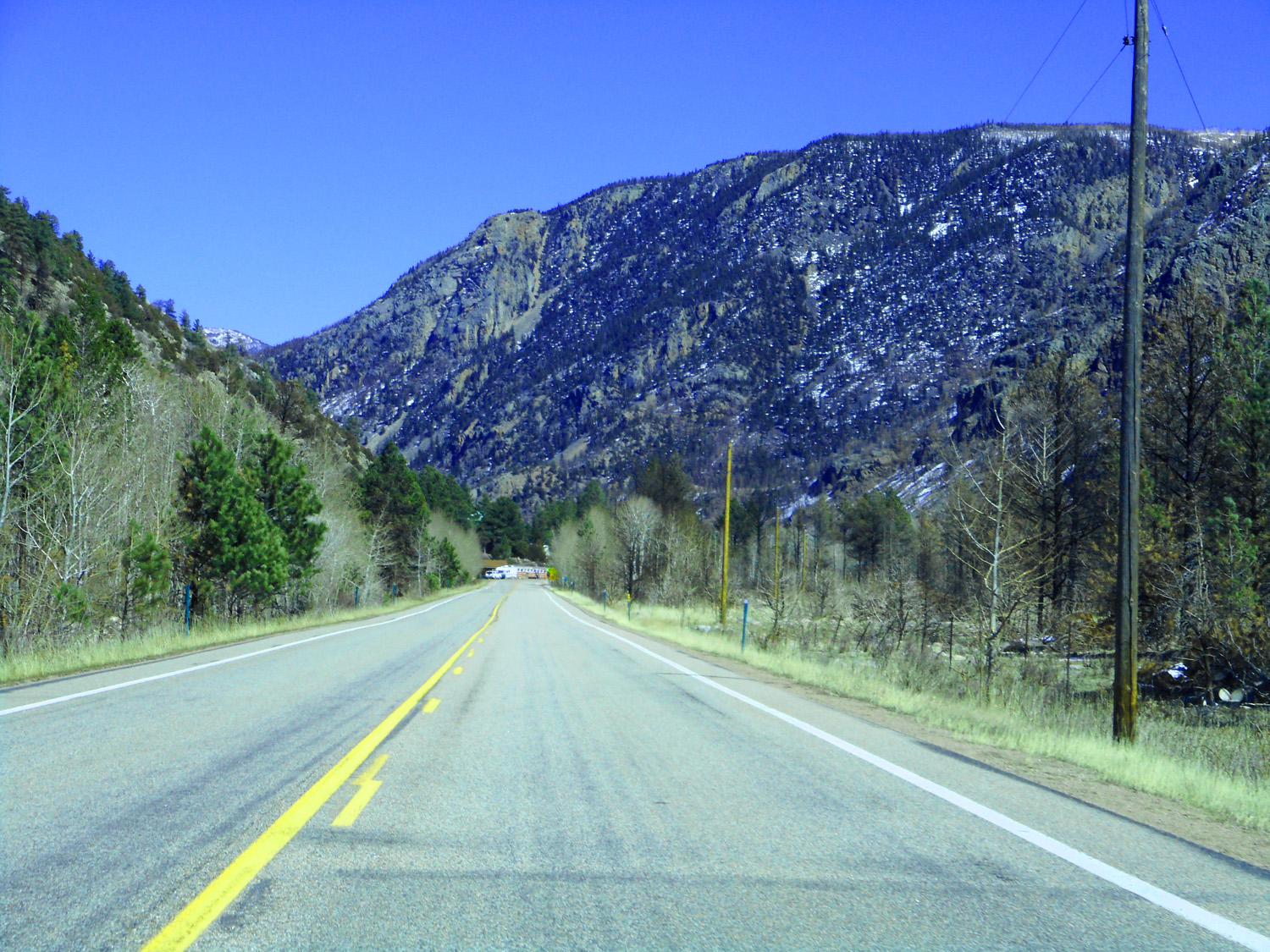
Cache La Poudre River cuts through the center of the Front Range uplift
Mar 23 2022 - 12:45 pm
Mar 23 2022 - 12:45 pm
51 / 63
Eroded into shapes of pure granite (no human sculptures are as good as God's sculptures)
Mar 23 2022 - 3:19 pm
Mar 23 2022 - 3:19 pm
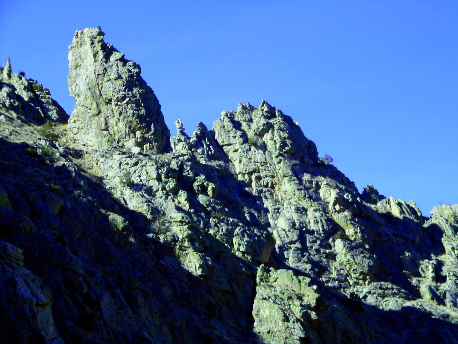
52 / 63
Granite spires
Mar 23 2022 - 12:50 pm
Mar 23 2022 - 12:50 pm
53 / 63
Spires tilted along cracks in the rock
Mar 23 2022 - 2:50 pm
Mar 23 2022 - 2:50 pm
54 / 63
As shown by fractured flat surfaces
Mar 23 2022 - 2:29 pm
Mar 23 2022 - 2:29 pm
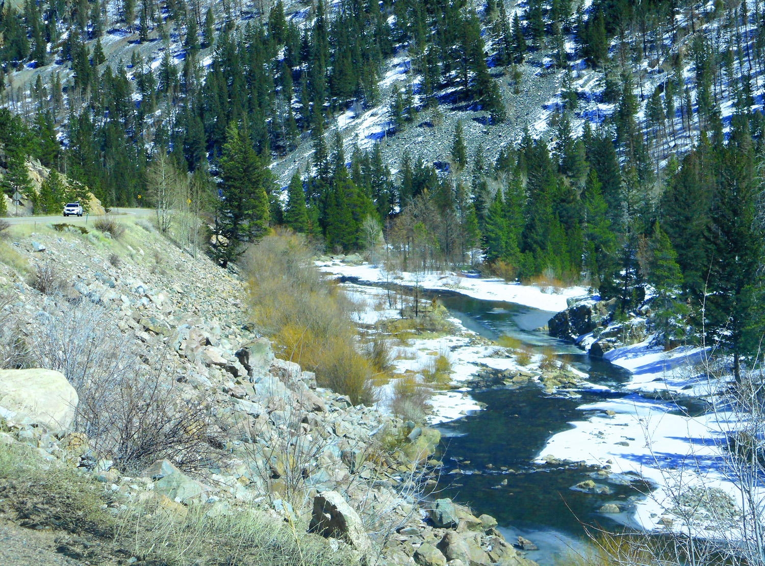
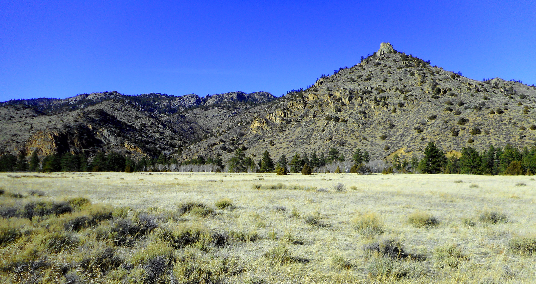
55 / 63
Granite hills along the river where it spreads out
Mar 23 2022 - 1:08 pm
Mar 23 2022 - 1:08 pm
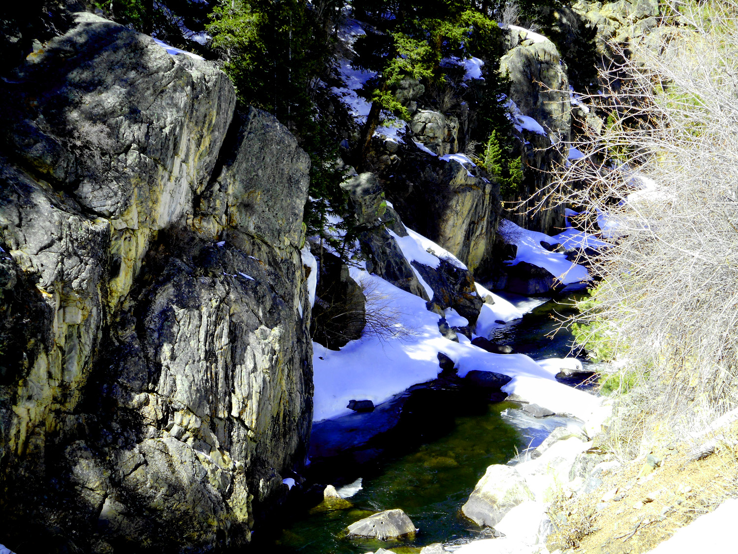
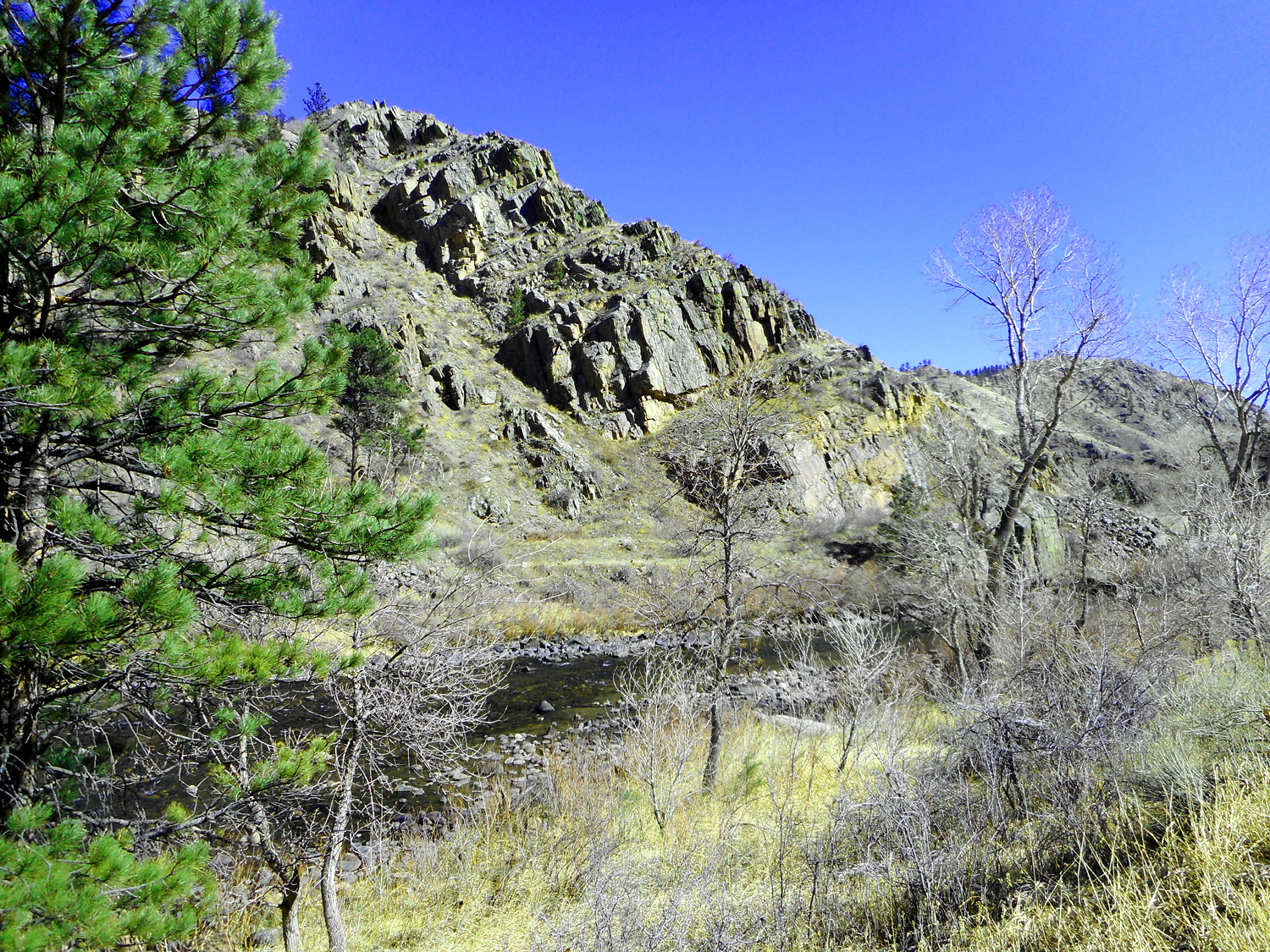
56 / 63
Granite canyon walls for most of 91 miles of Cache La Poudre Canyon (this is a typical claustrophobic view)
Mar 23 2022 - 1:22 pm
Mar 23 2022 - 1:22 pm
57 / 63
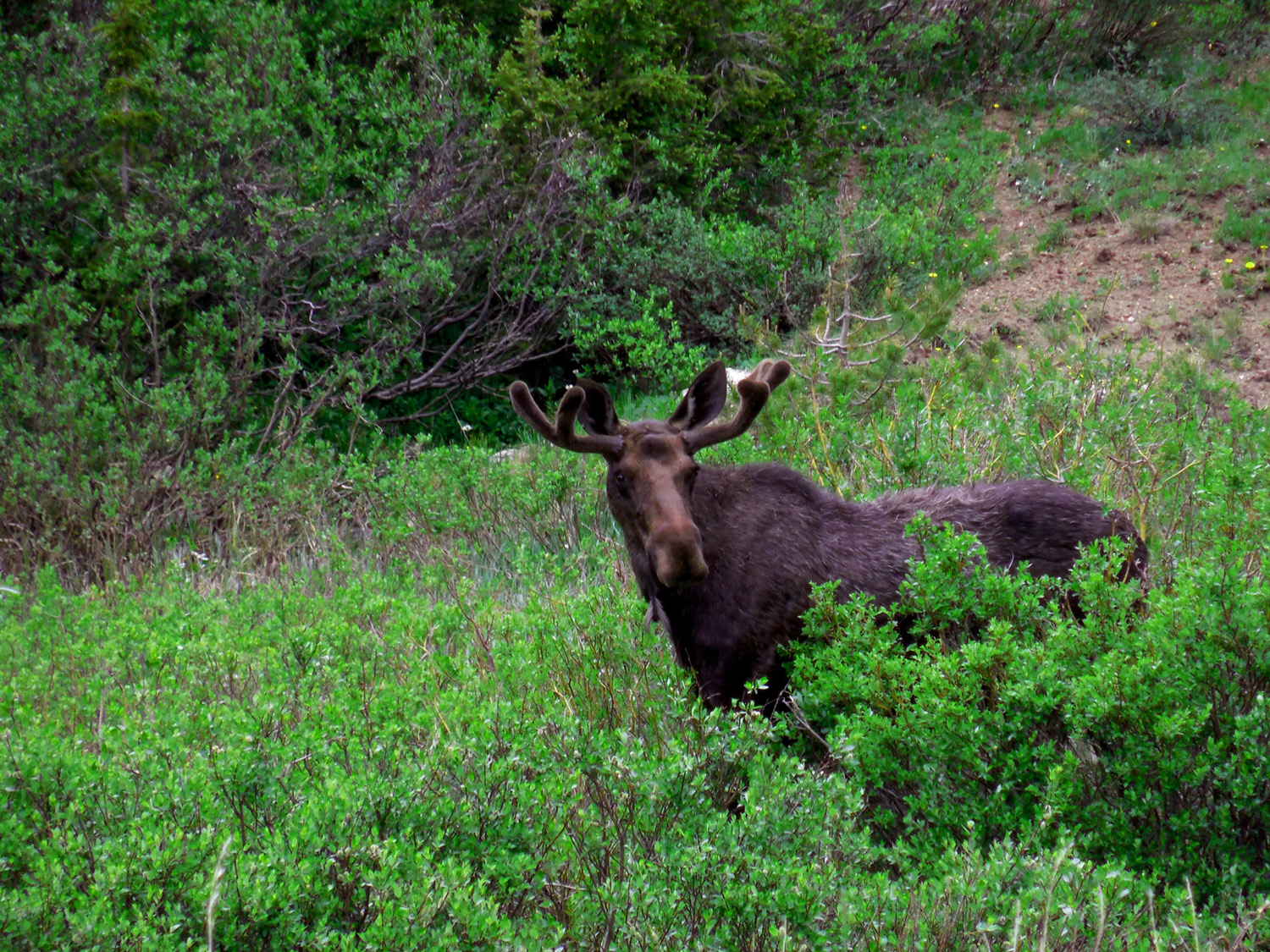
Nonchalant moose back-uped traffic on a busy holiday weekend
Jun 30 2013 - 1:39 pm
Jun 30 2013 - 1:39 pm
58 / 63
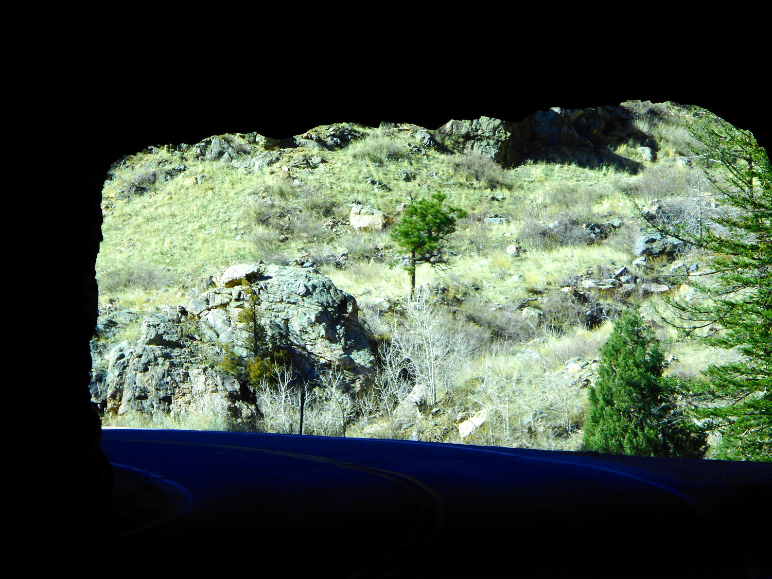
Tunnel
Mar 23 2022 - 2:53 pm
Mar 23 2022 - 2:53 pm
59 / 63
Moderate burning level according to the Forest Service
Mar 23 2022 - 2:59 pm
Mar 23 2022 - 2:59 pm
60 / 63
Burned trees and evening shadows
Mar 23 2022 - 3:43 pm
Mar 23 2022 - 3:43 pm
61 / 63
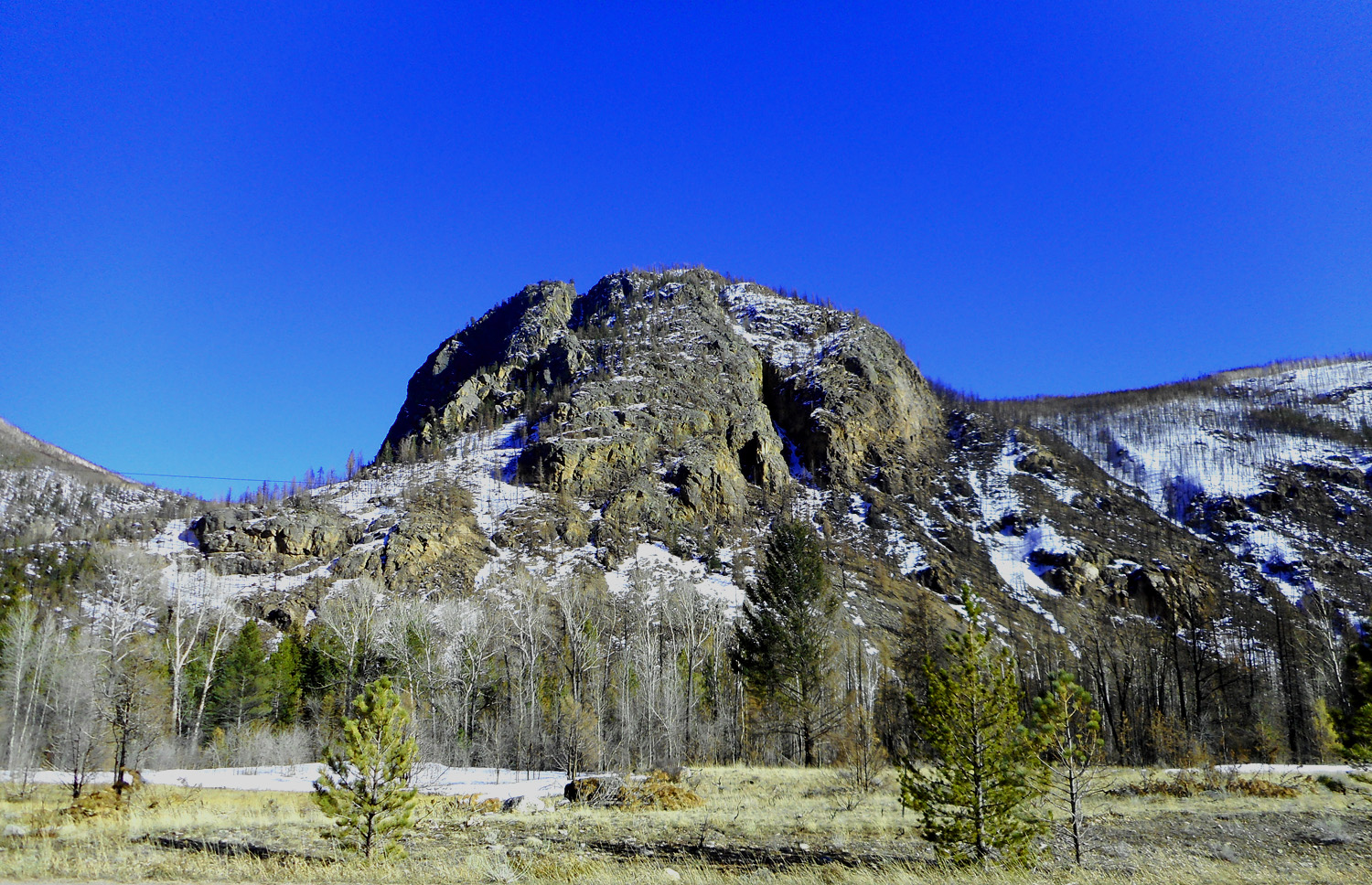
"Sleeping Elephant" from the prefect perspective
Mar 23 2022 - 3:41 pm
Mar 23 2022 - 3:41 pm
62 / 63
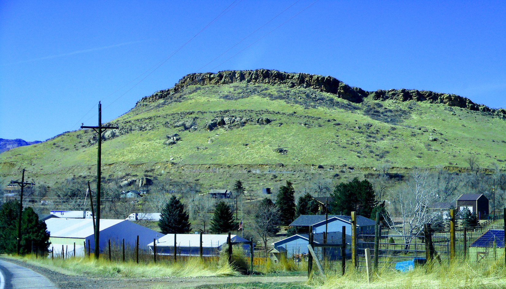
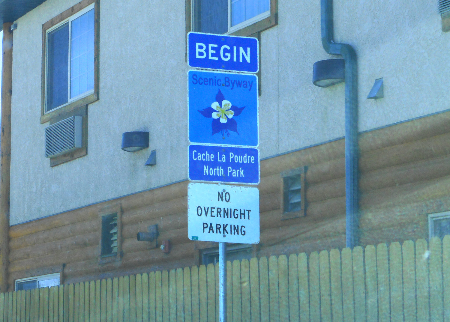
Dakota Sandstone hogback marks end of the Rockies, therefore the end of Cache La Poudre Canyon and slides for CO 14
Mar 23 2022 - 1:52 pm
Mar 23 2022 - 1:52 pm
63 / 63
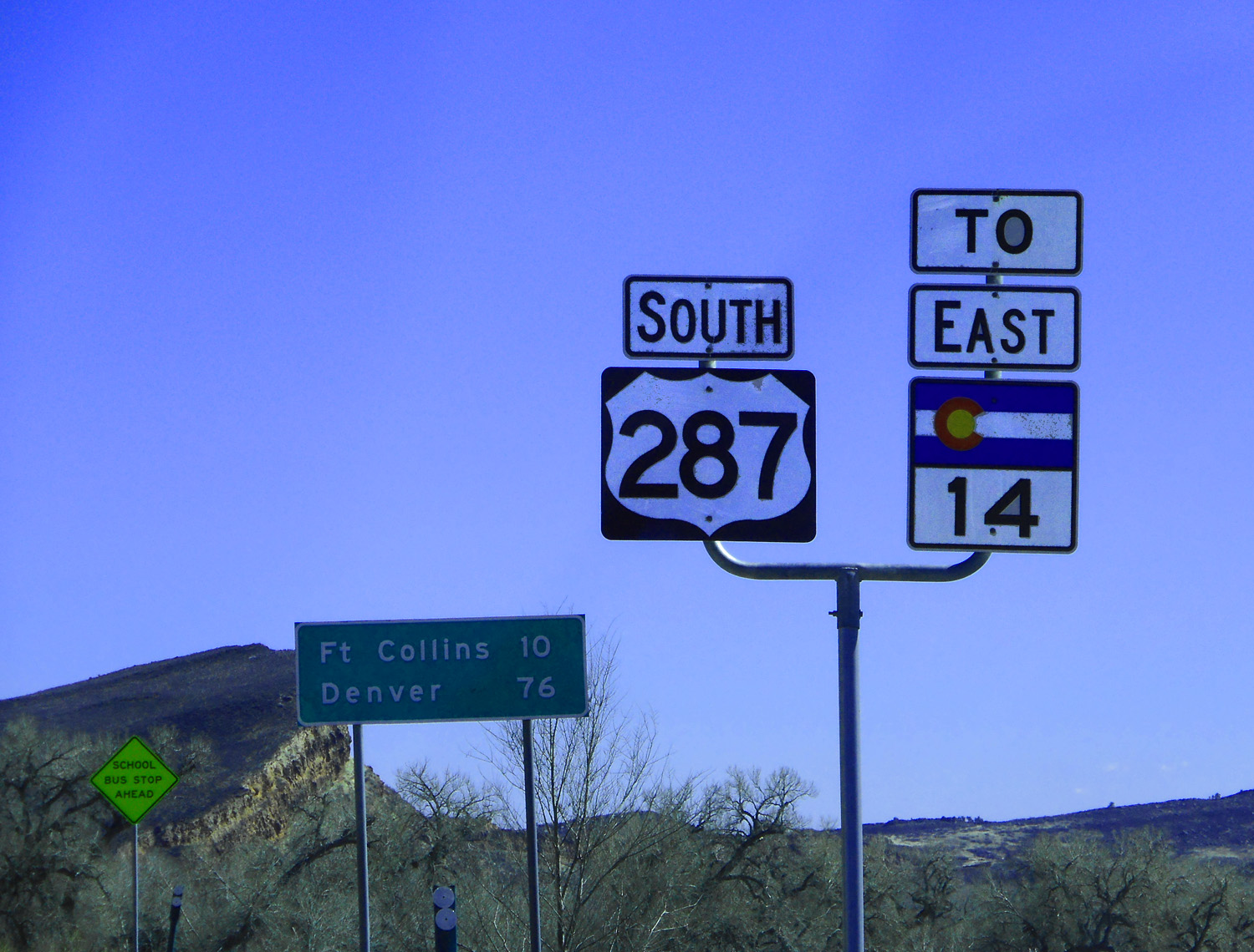
US 287: CO 14 continues to Julesburg (turned around at the first gas station toward Ft. Collins and repeated my route back to Palisade)
Mar 23 2022 - 1:47 pm
Mar 23 2022 - 1:47 pm