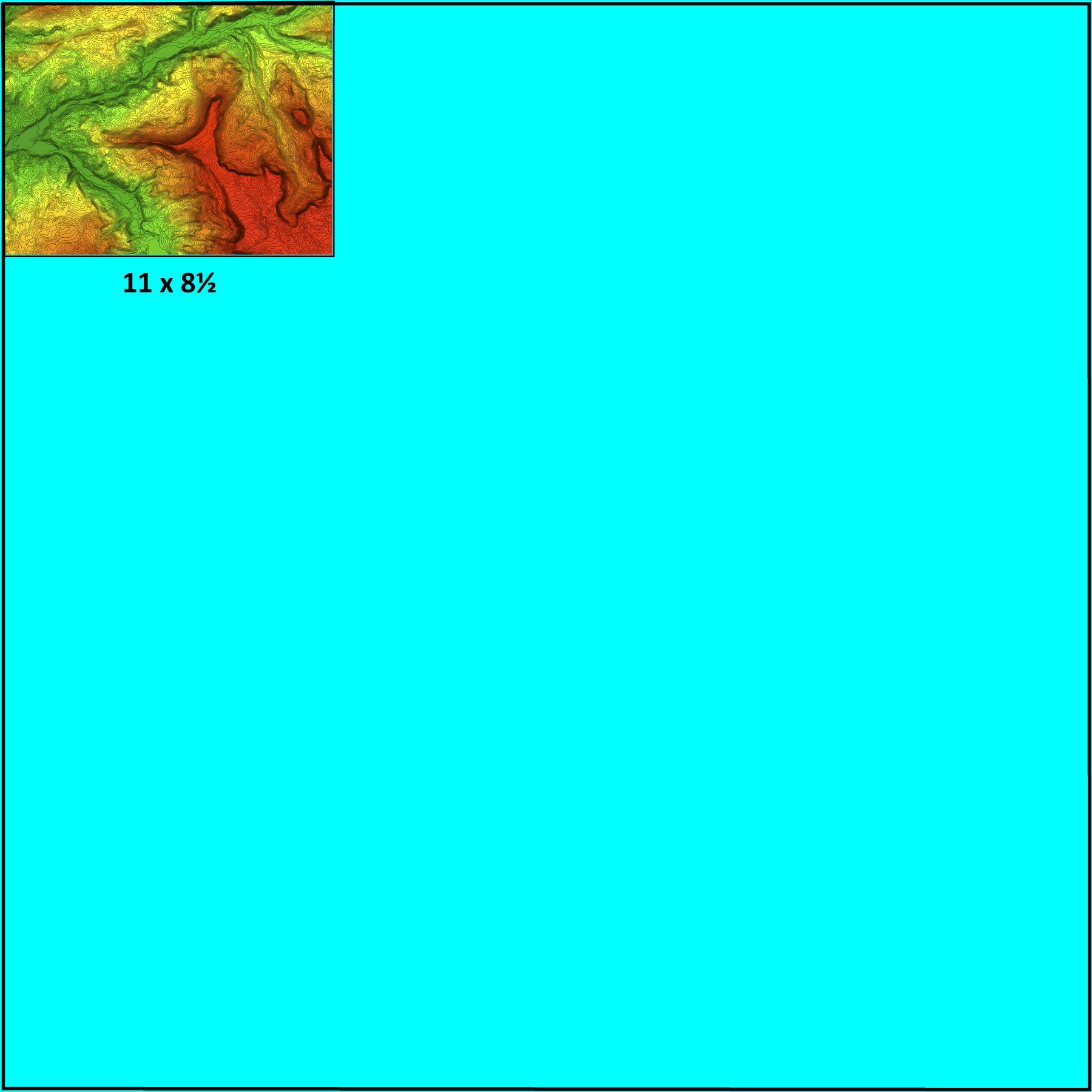
Example map of the Buford area along the White River (green) flowing from the Flattops (red). Layers in PDF files are labels for
landforms, town, rock types, coordinates, etc. This map is stripped of labels to let the topography shine though all the clutter

Photoshop Example
SCALE
36 x 36 inch square