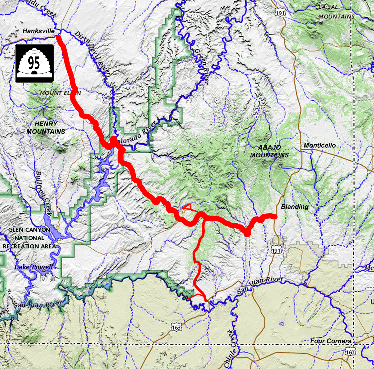
91 Slides: 67 on UT 95 from Hanksville to Blanding;
9 on UT 275 (Natural Bridges National Monument); 15 on UT 161 (Goosenecks and Moki Dugway)
Road Index click green ovals to jump ahead or behind user-contolled cycle: choose an automated cycle 2 seconds 5 seconds 10 seconds 30 seconds 60 seconds
❮
❯

1 / 91
2 / 91
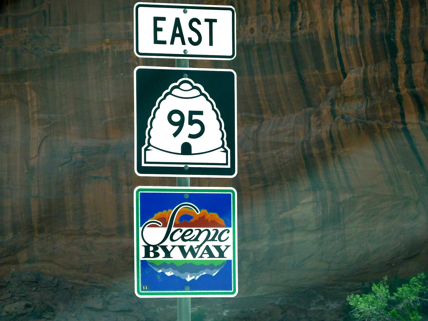
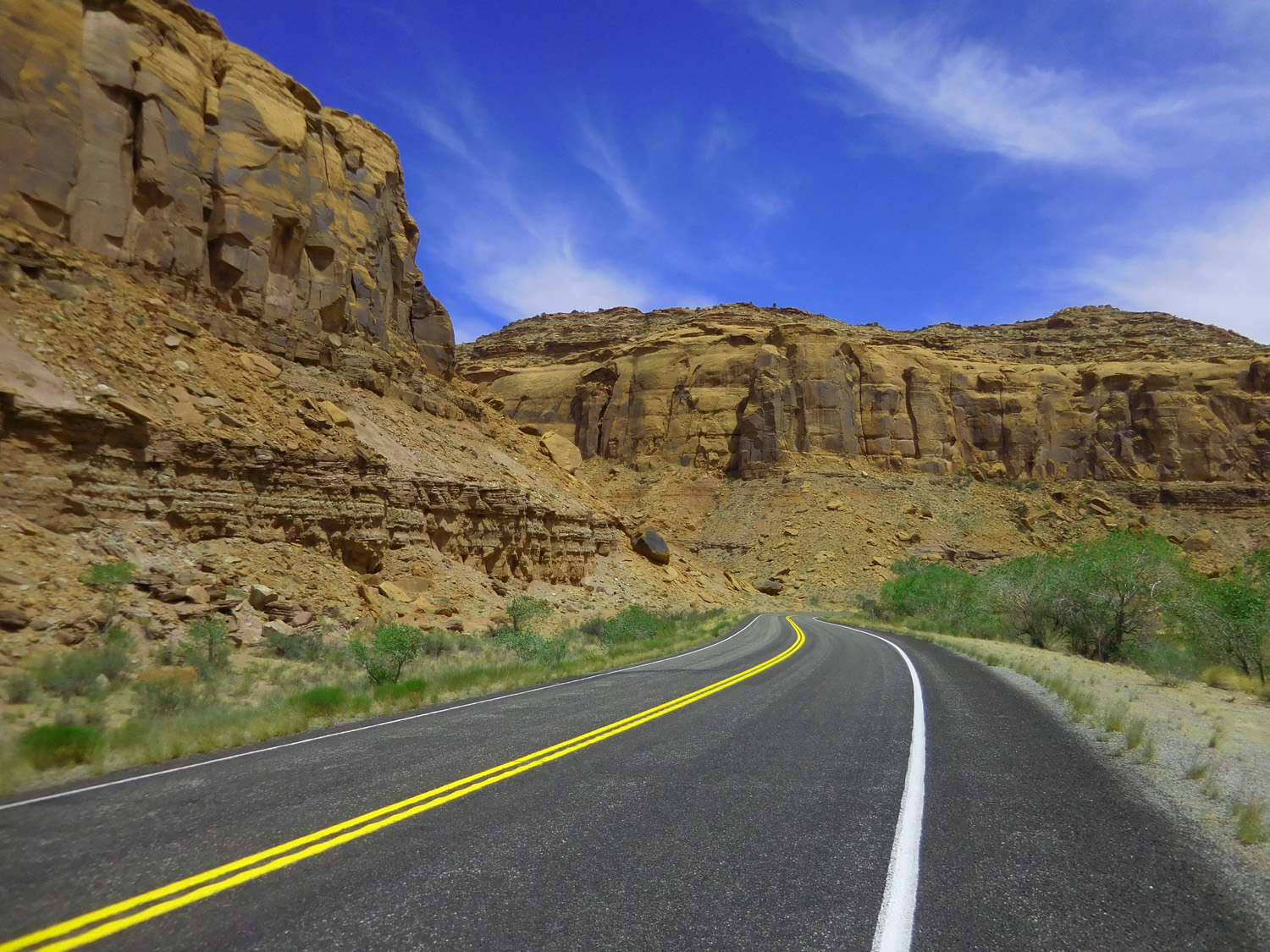
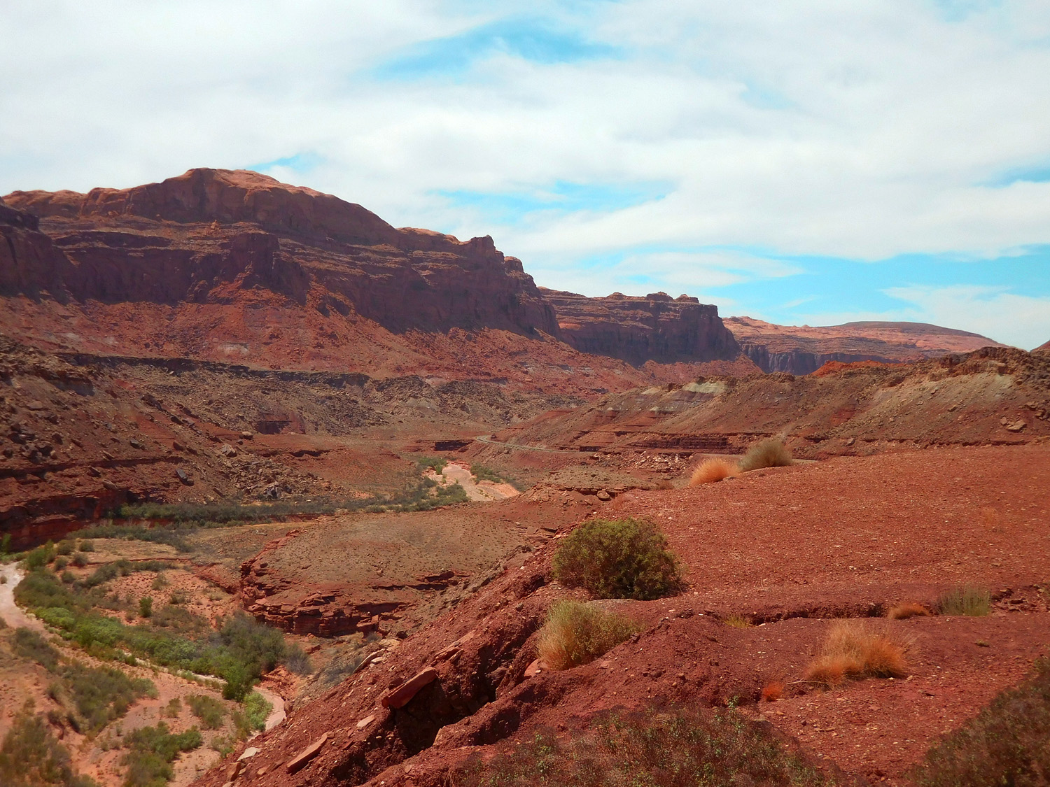
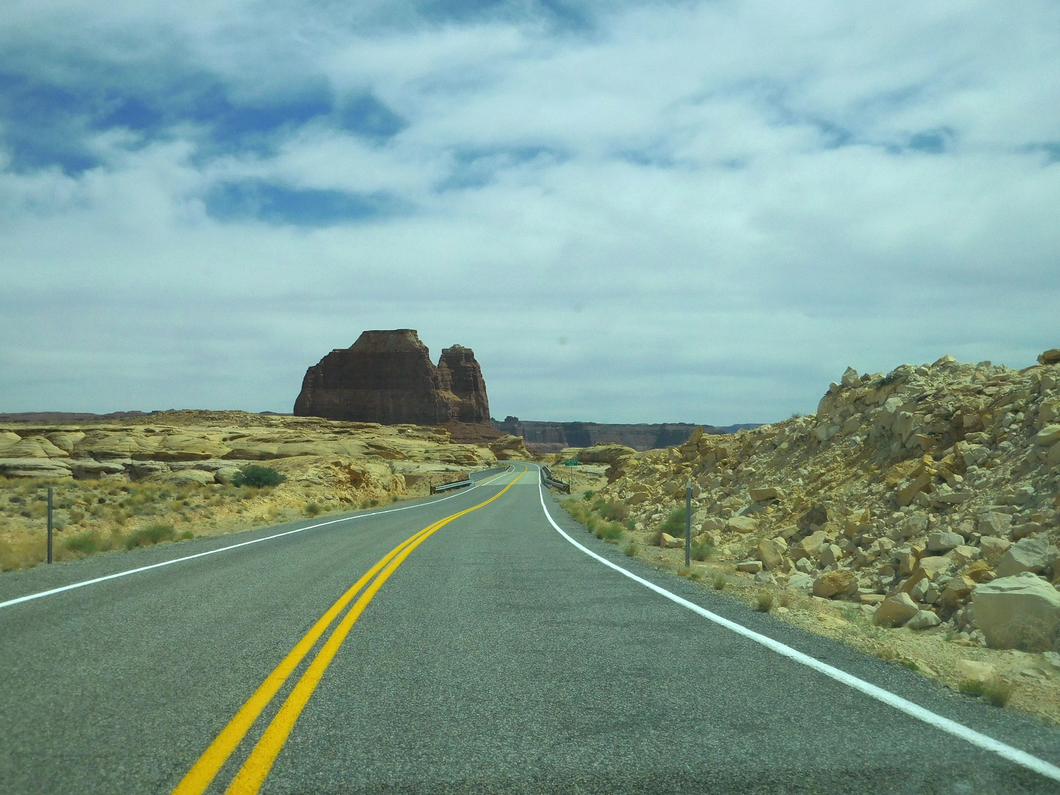
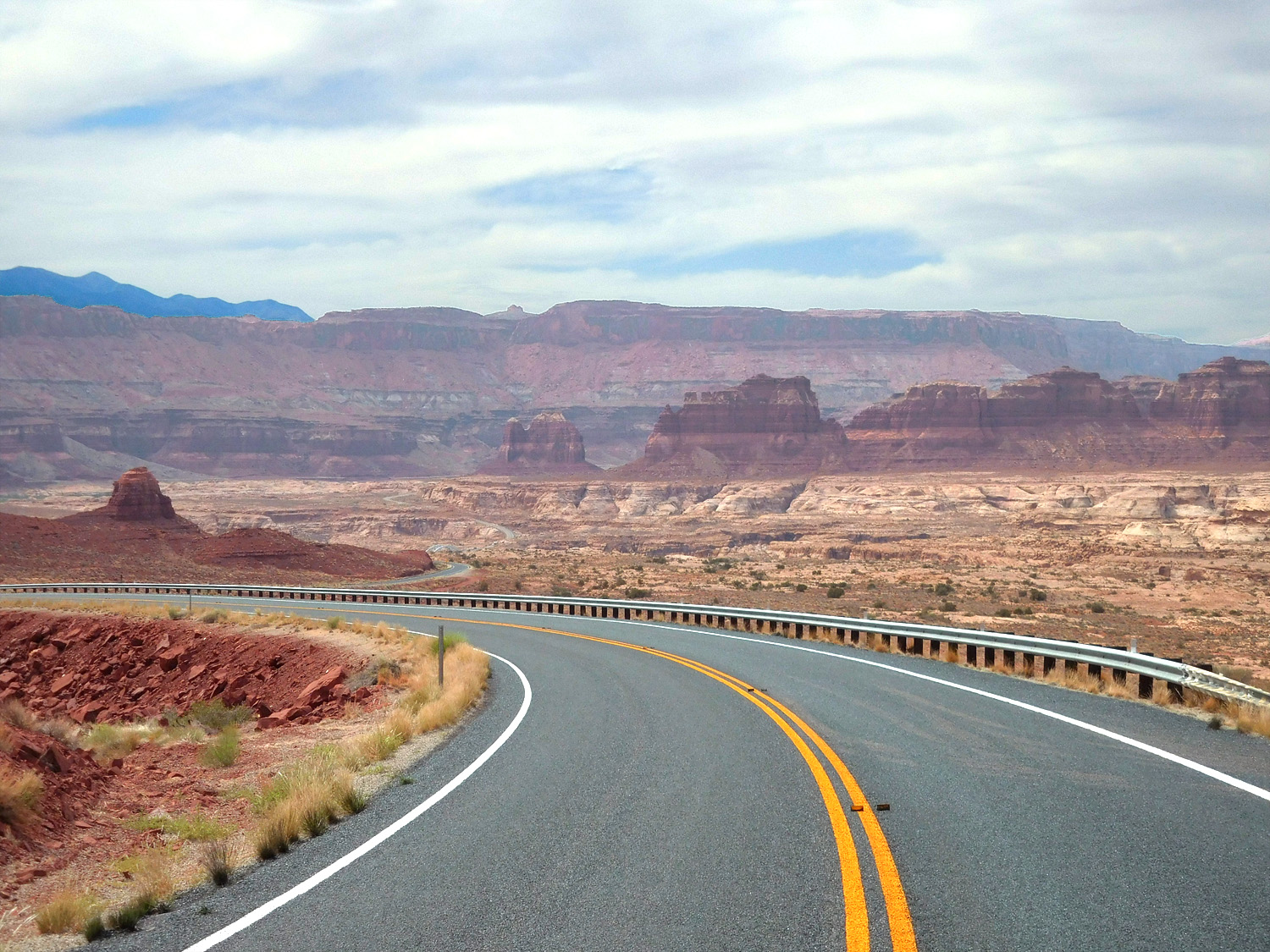
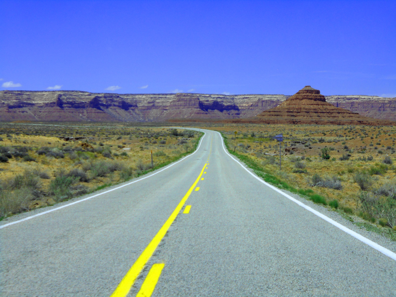
Bicentennial Highway
Jun 07 2021 - 2:49 pm
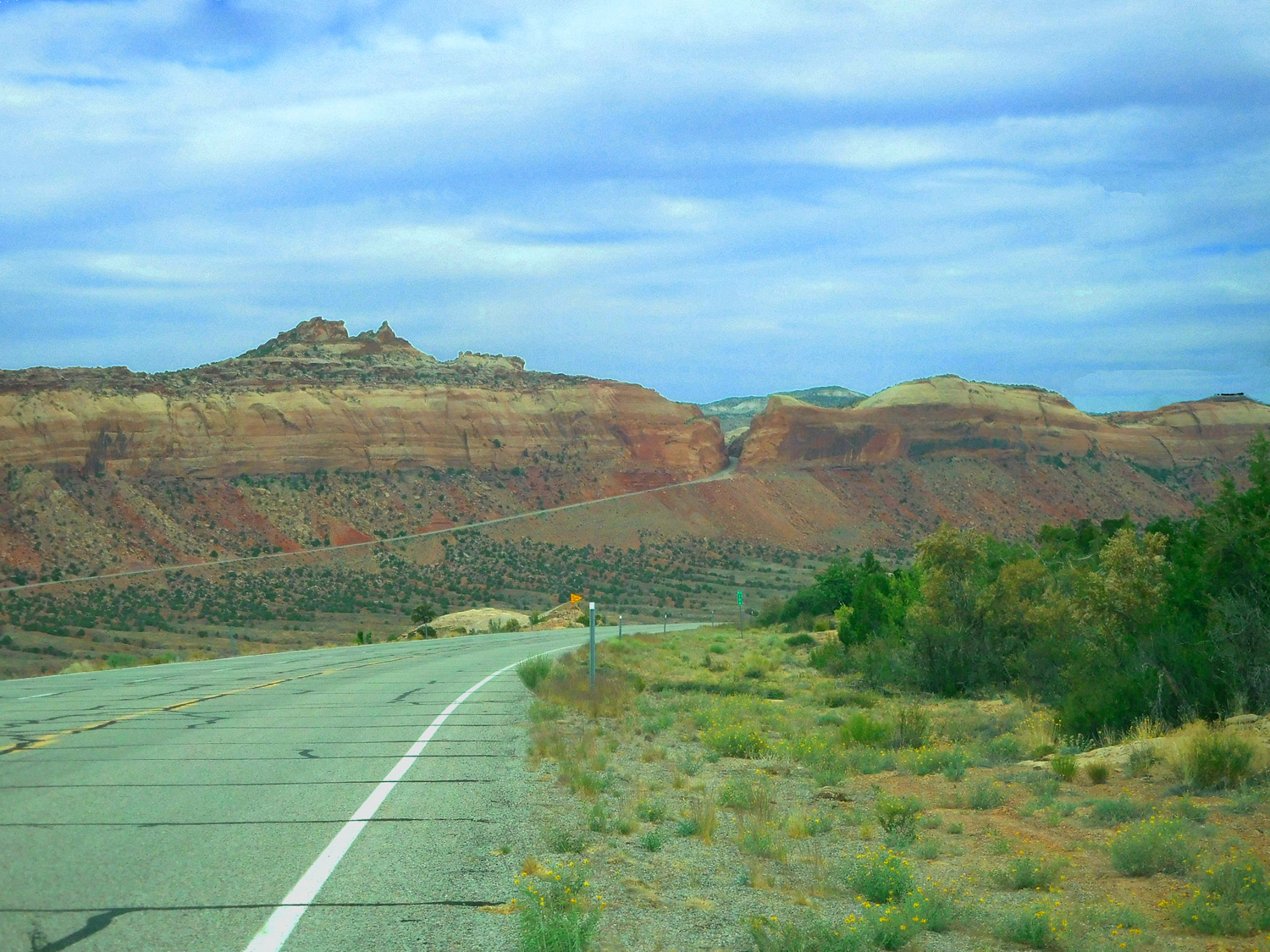
Jun 07 2021 - 2:49 pm
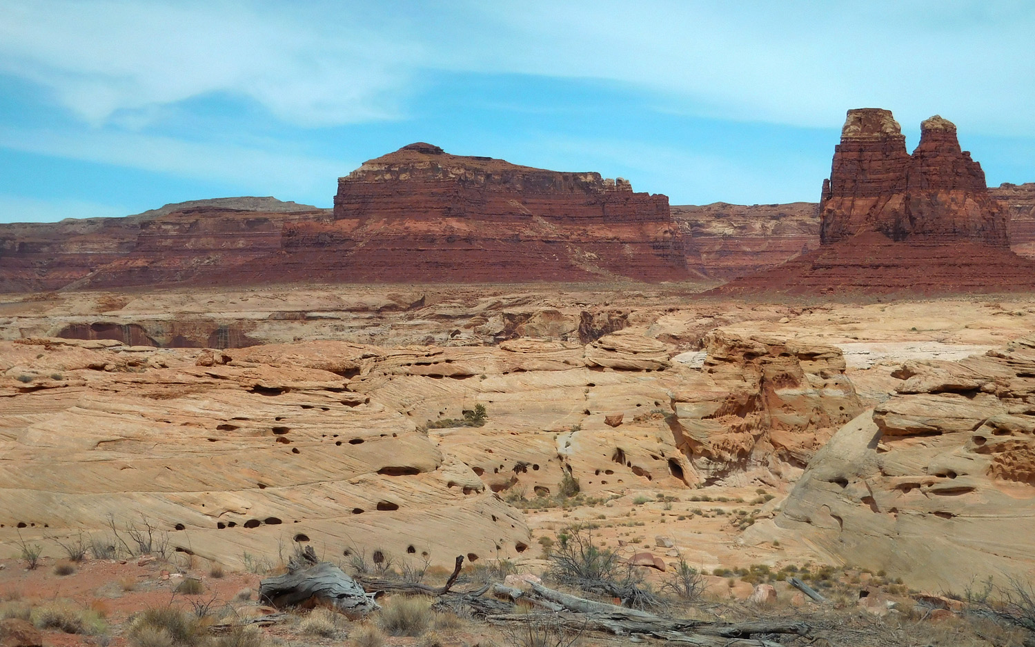
3 / 91
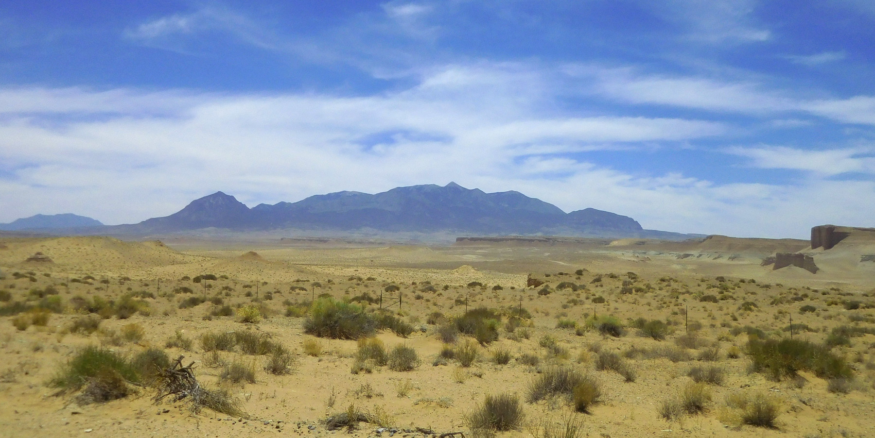
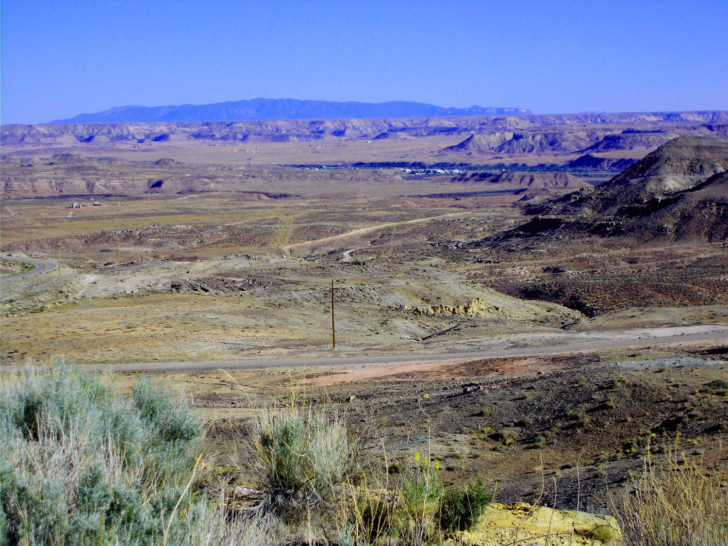
Henry Mountains to the south
Jun 07 2021 - 1:39 pm
Jun 07 2021 - 1:39 pm
4 / 91
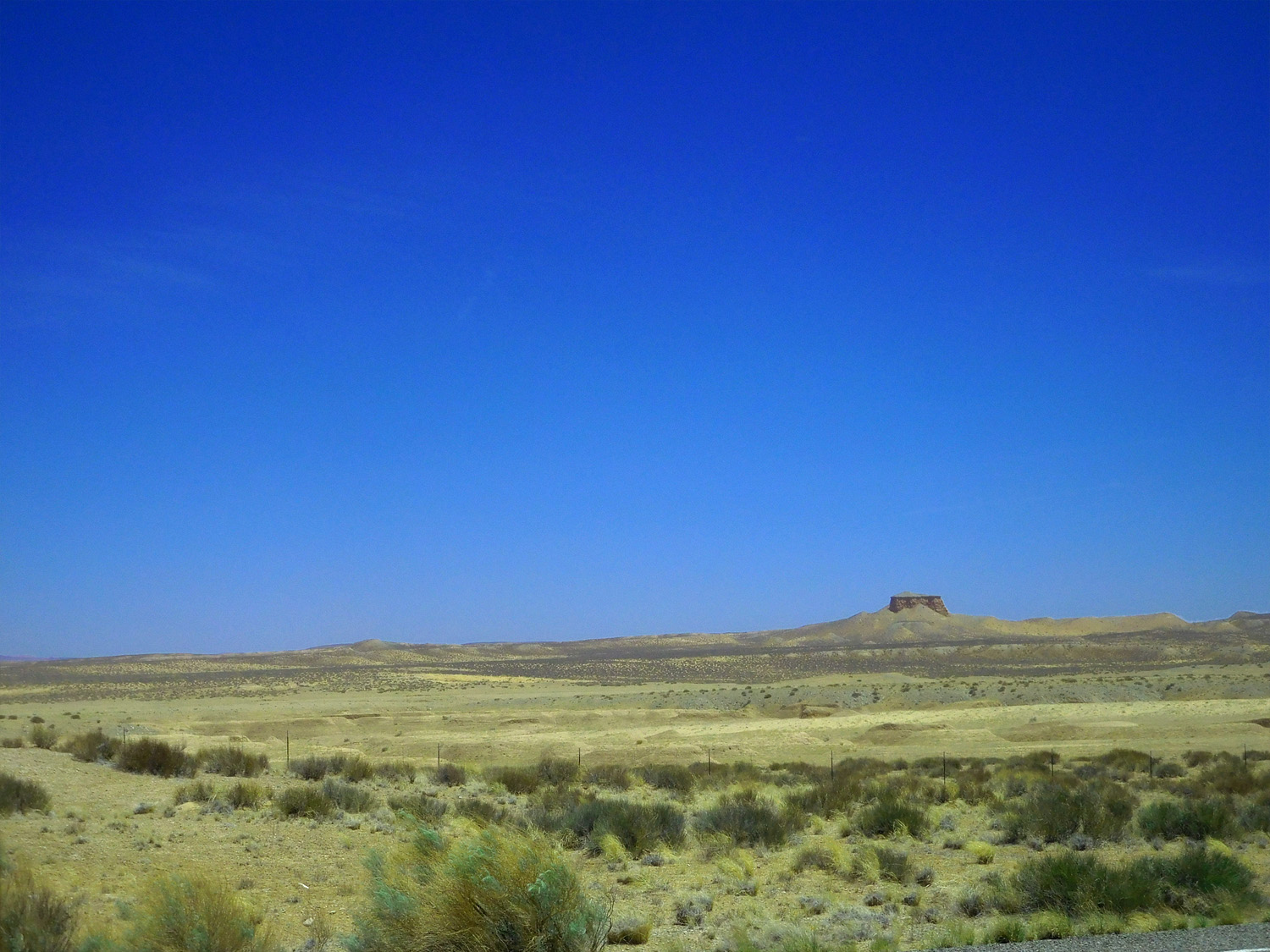
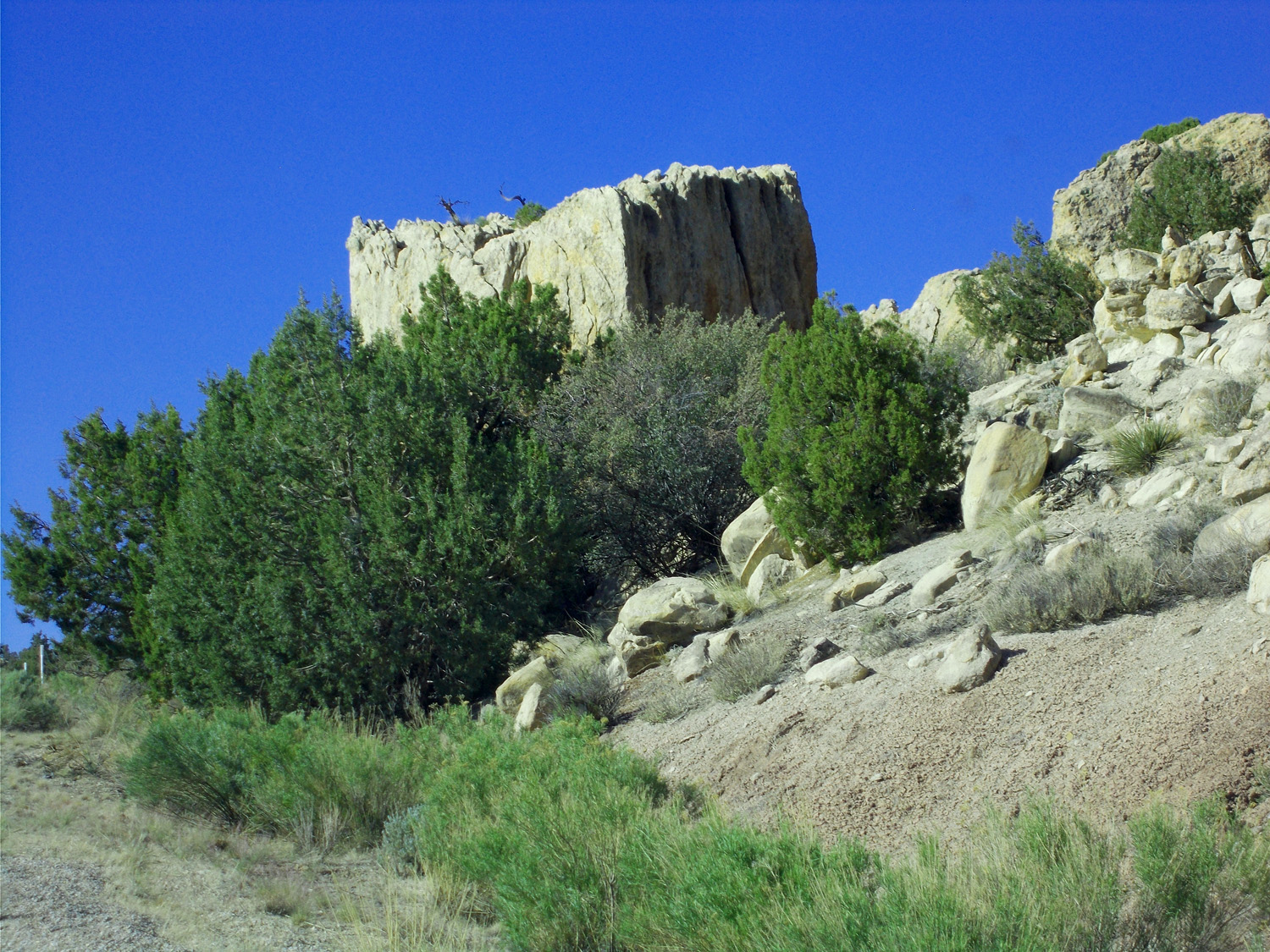
Desert to the north
Jun 07 2021 - 1:46 pm
Jun 07 2021 - 1:46 pm
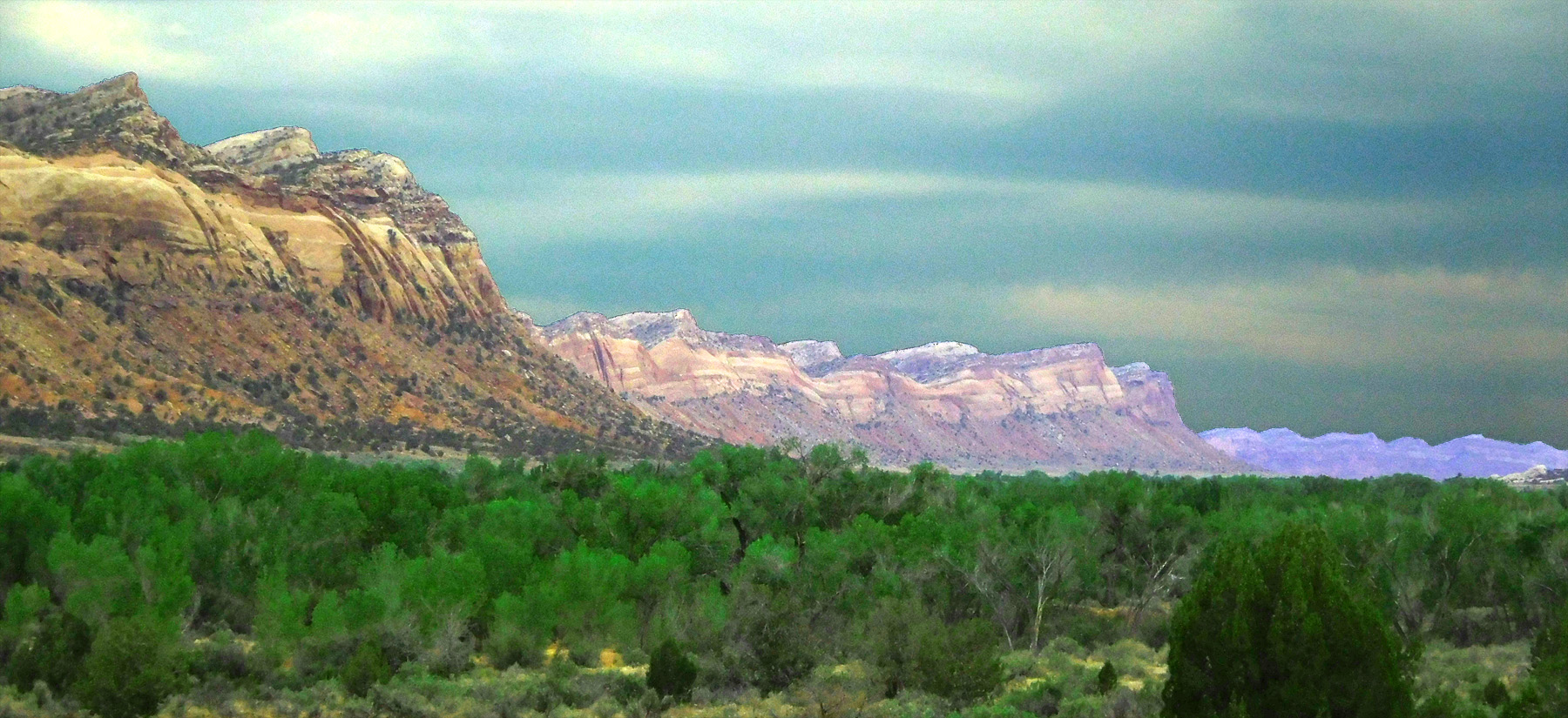
5 / 91
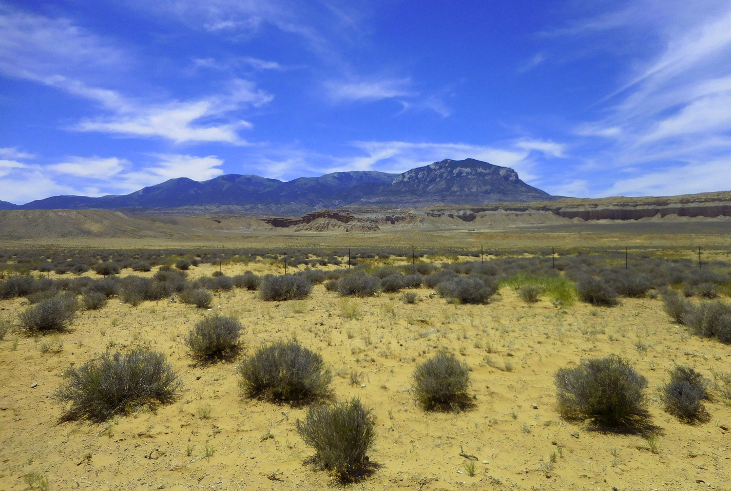
Bull Mountain (9,187') background (l to r): Mt. Ellen (11,522') and Mt. Pennel (11,371') highest peaks in the Henry Mountains
Jun 07 2021 - 2:04 pm
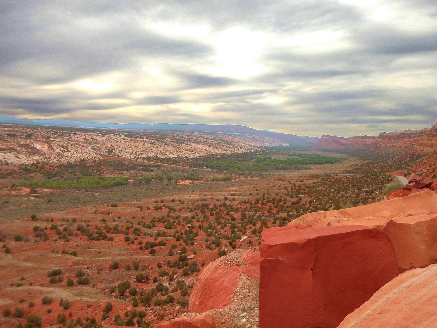
Jun 07 2021 - 2:04 pm
6 / 91
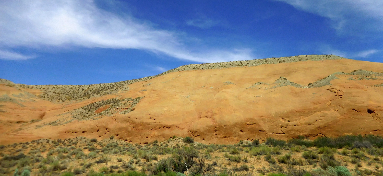
Entrada Sandstone capped by rounded gravel
Jun 07 2021 - 2:21 pm
Jun 07 2021 - 2:21 pm
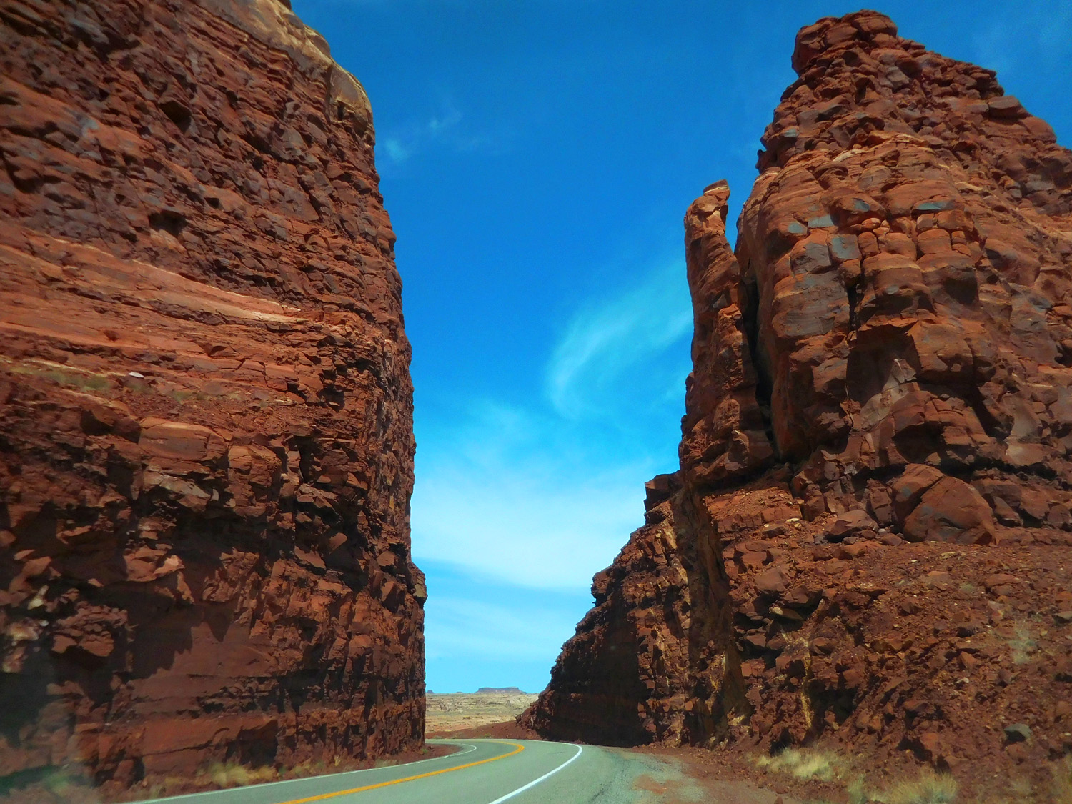
7 / 91
Like today
Jun 07 2021 - 2:25 pm
Jun 07 2021 - 2:25 pm
8 / 91
UT 276 leads to a ferry across Lake Powell closed because of low water
Jun 07 2021 - 2:28 pm
Jun 07 2021 - 2:28 pm
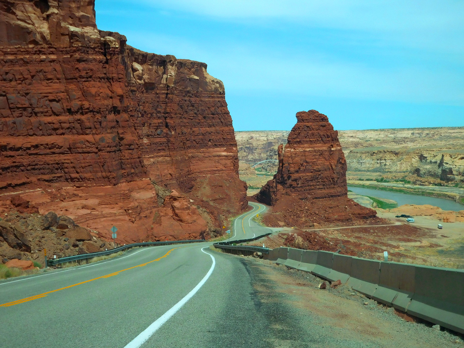
9 / 91
Just beyond the intersection UT 95 curves left into North Wash draining Mt. Ellen (UT 95 follows the wash to its confluence with the Colorado River)
Jun 07 2021 - 2:30 pm
Jun 07 2021 - 2:30 pm
10 / 91
Entrada Sandstone
Jun 07 2021 - 2:33 pm
Jun 07 2021 - 2:33 pm
11 / 91
Jurassic fossilized sand dunes
Jun 07 2021 - 2:34 pm
Jun 07 2021 - 2:34 pm
12 / 91
Entrada Sandstone (ancient cross-bedded sand dunes)
Jun 07 2021 - 2:36 pm
Jun 07 2021 - 2:36 pm
13 / 91
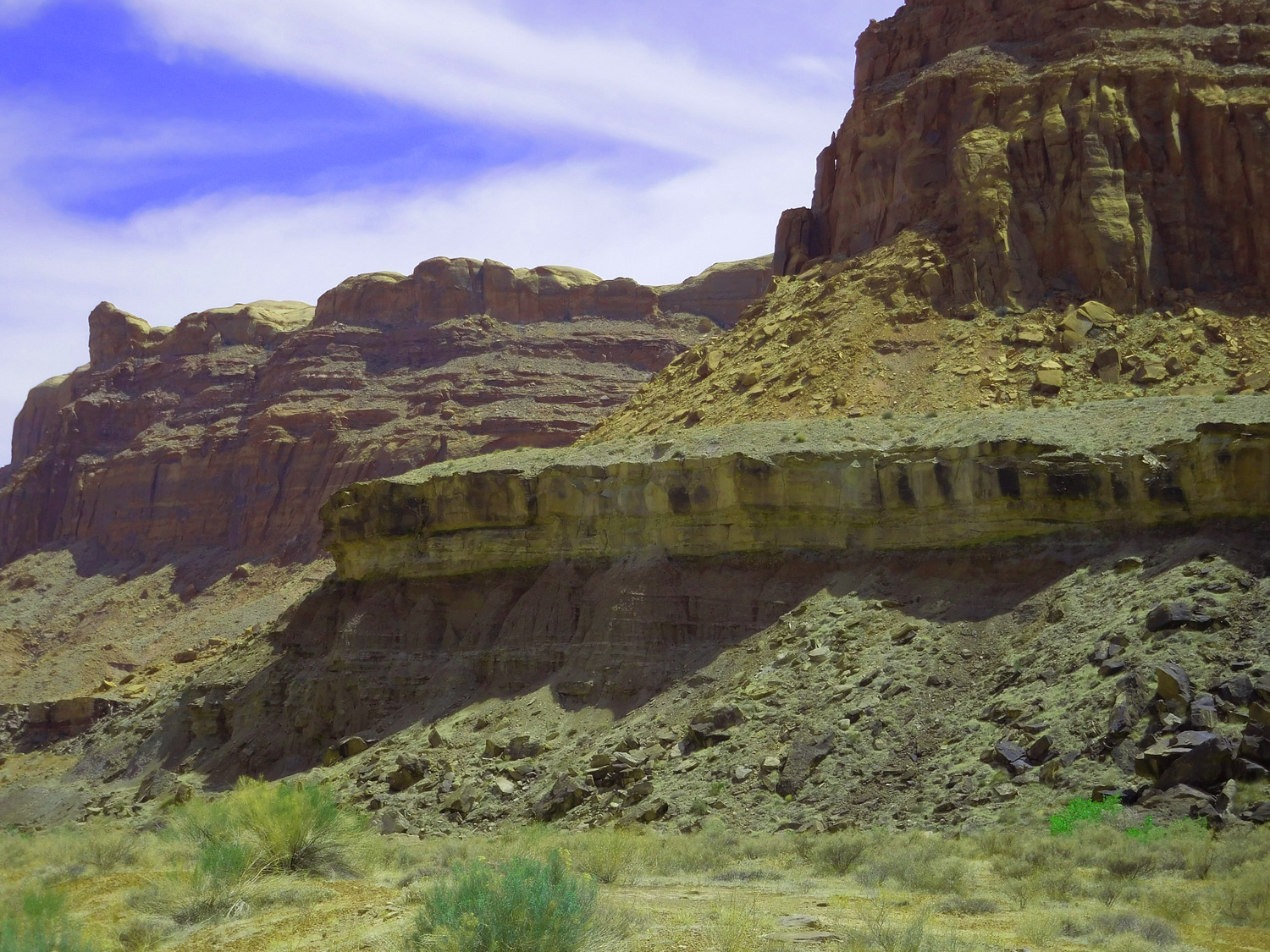
from bottom: Triassic Moenkopi and Chinle formations, Jurassic Wingate and Entrada sandstones
Jun 07 2021 - 2:39 am
Jun 07 2021 - 2:39 am
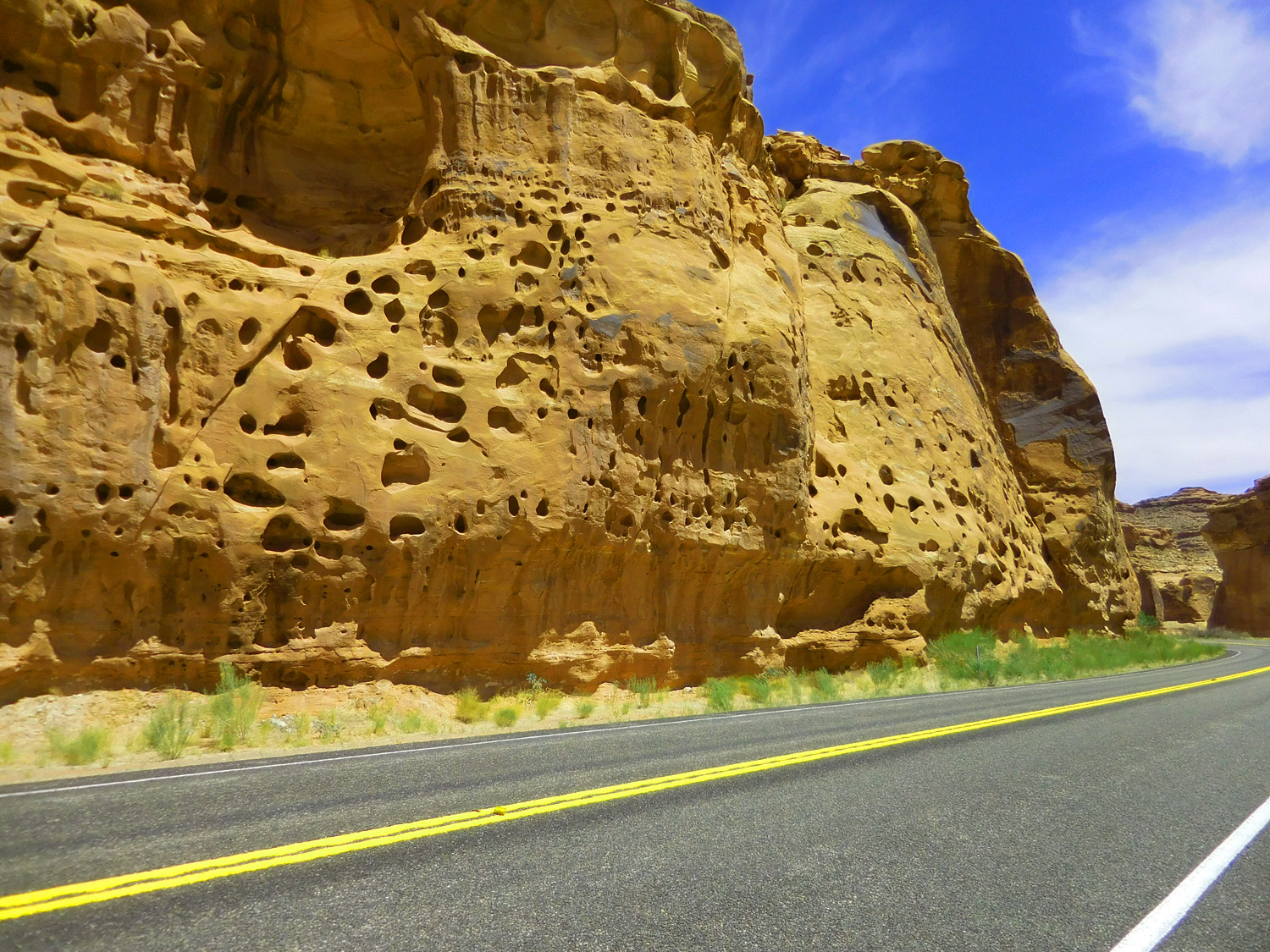
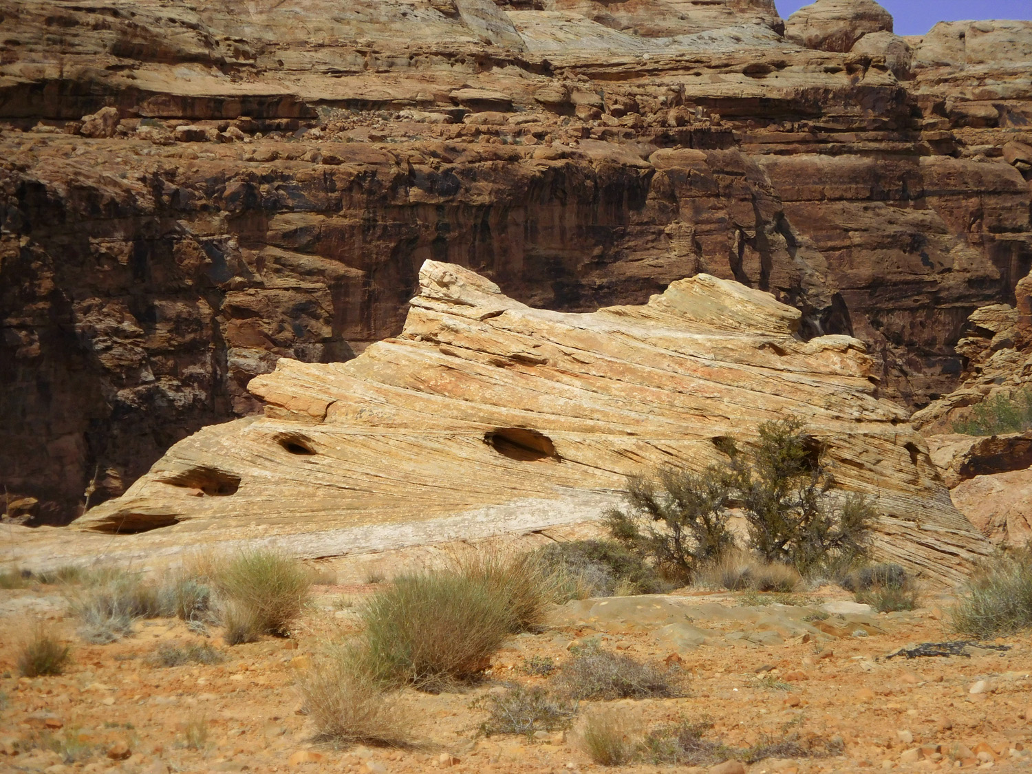
14 / 91
Tafoni (common in all sandstones)
Jun 07 2021 - 2:45 pm
Jun 07 2021 - 2:45 pm
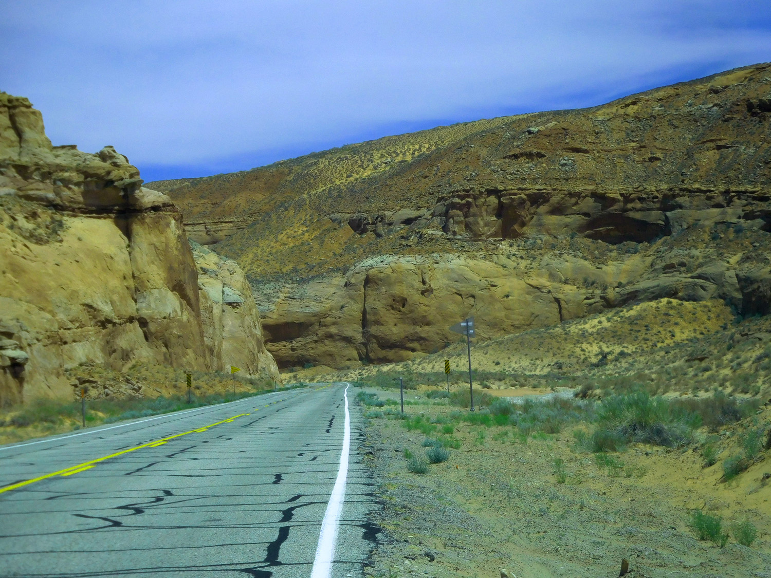
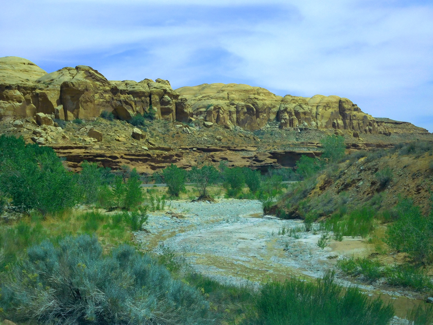
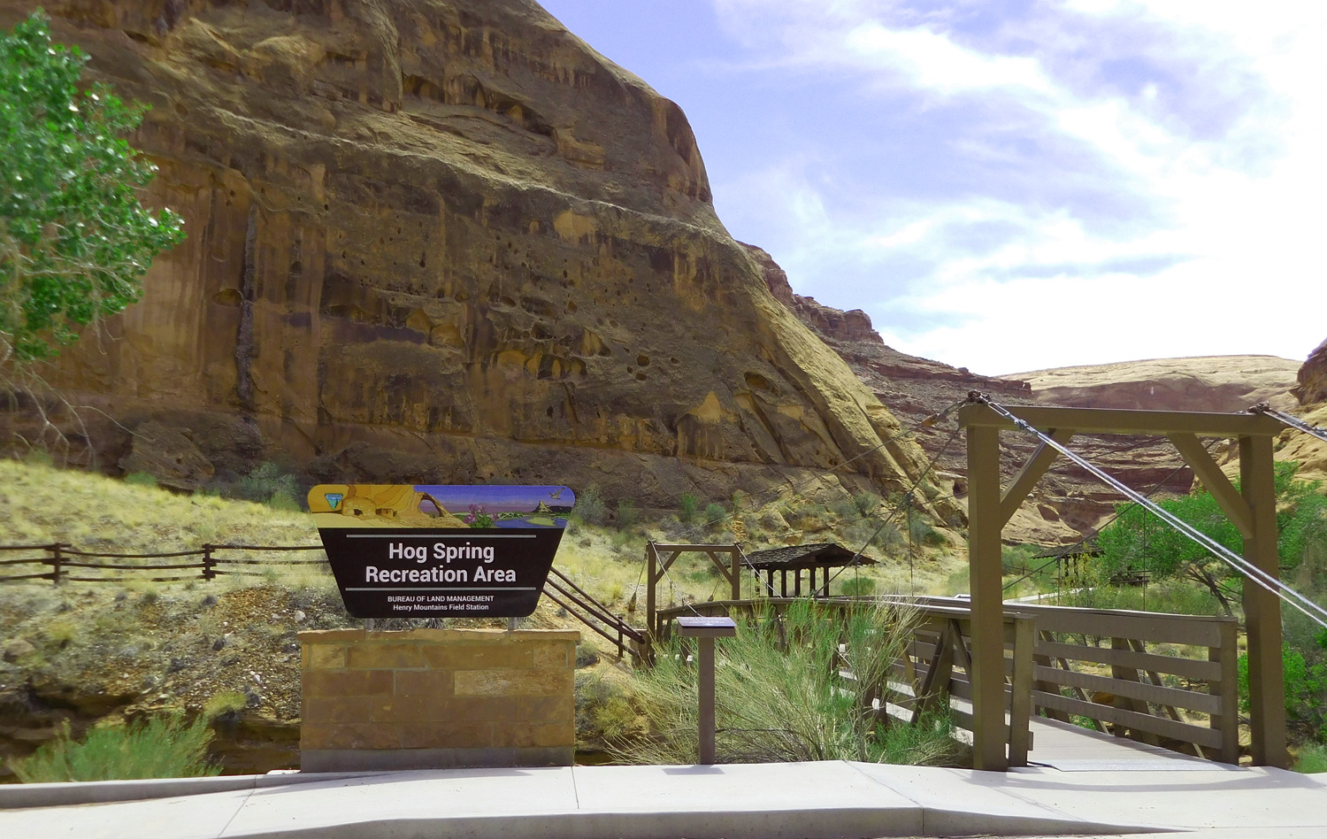
15 / 91
Hog Springs Recreation Area
Jun 07 2021 - 2:51 pm
Jun 07 2021 - 2:51 pm
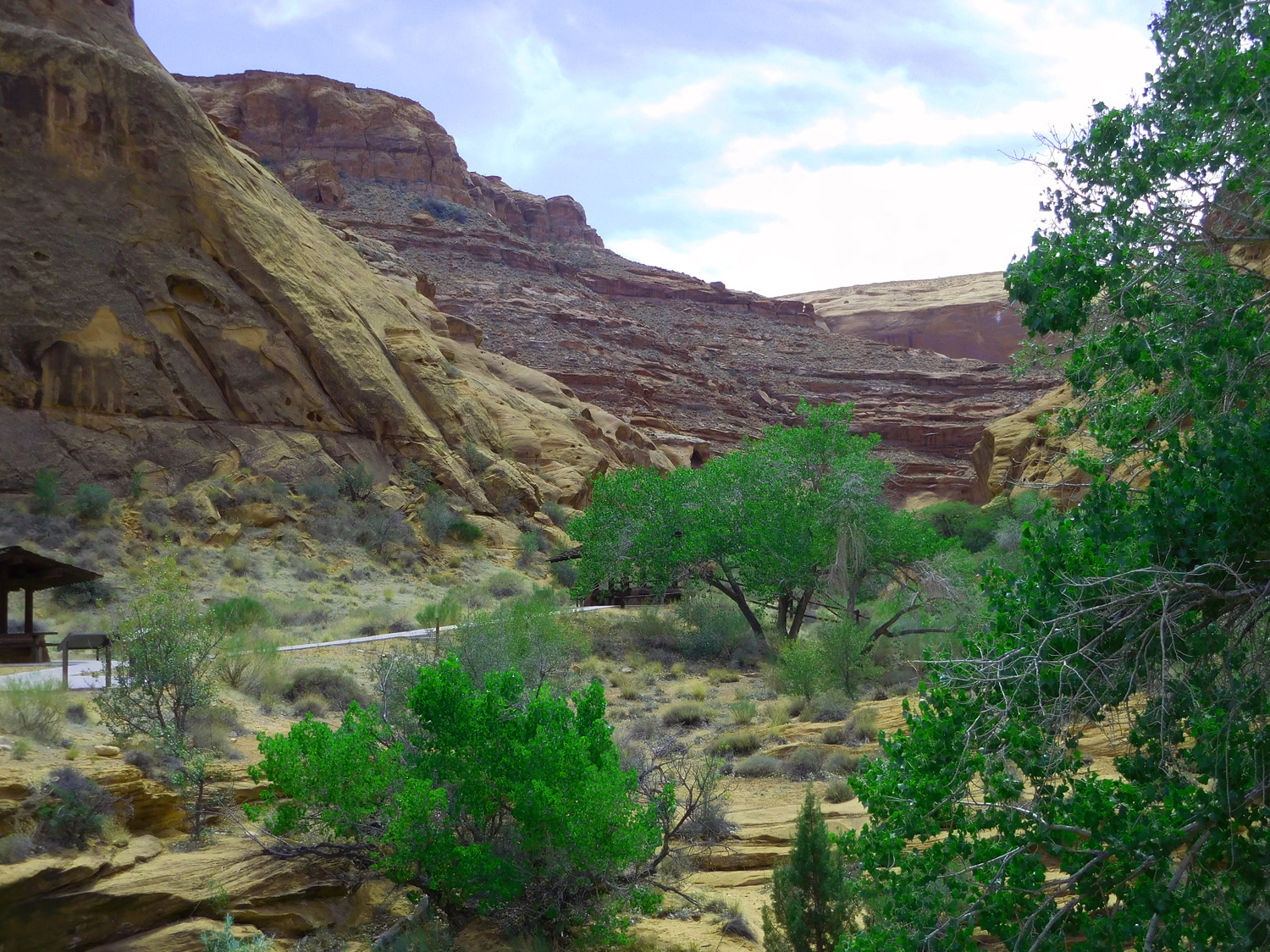
16 / 91
Hog Springs at the head of the wash (perhaps on impermeable Chinle shales at the base of permeable Wingate-Entrada sandstone)
Jun 07 2021 - 2:51 pm
Jun 07 2021 - 2:51 pm
17 / 91
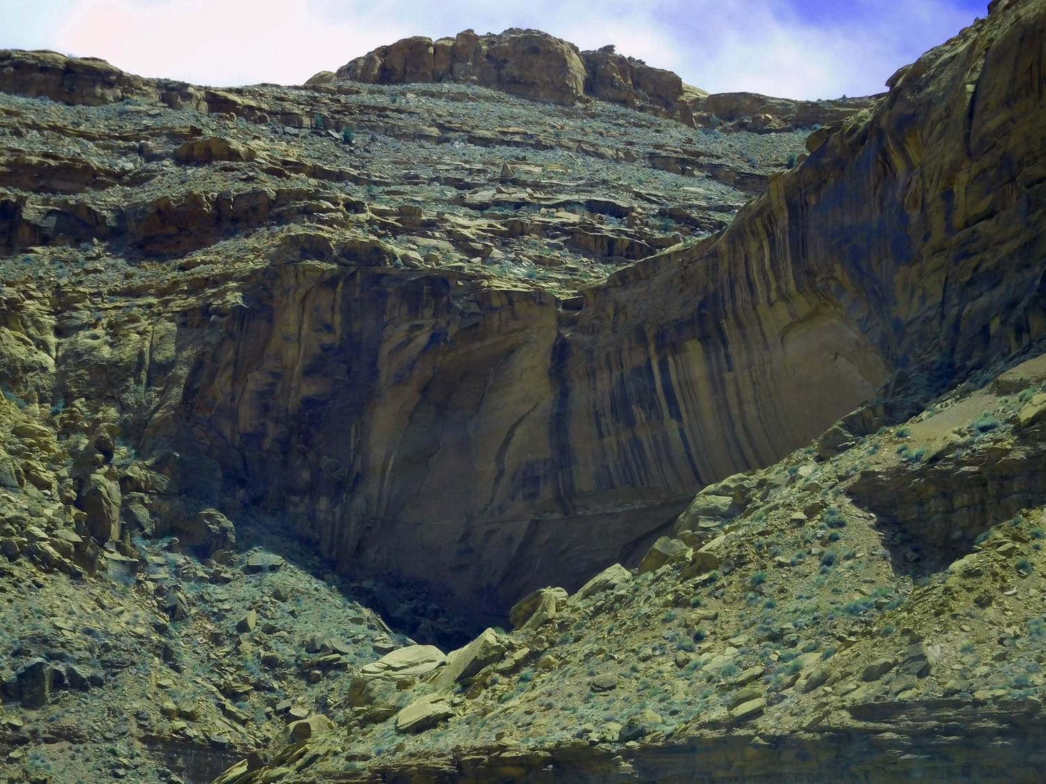
Entrada - Wingate sandstone cliff sandwiched between Jurassic Morrison and Triassic Chinle shales
Jun 07 2021 - 2:53 pm
Jun 07 2021 - 2:53 pm
18 / 91
Hanging valley on White Rim-Cedar Sandstone (note seepage along the entire valley floor)
Jun 07 2021 - 2:55 pm
Jun 07 2021 - 2:55 pm
19 / 91
Permian White Rim Sandstone below thin Triassic Chinle and Moenkopi shales and Navajo Sandstone
Jun 07 2021 - 3:02 pm
Jun 07 2021 - 3:02 pm
20 / 91
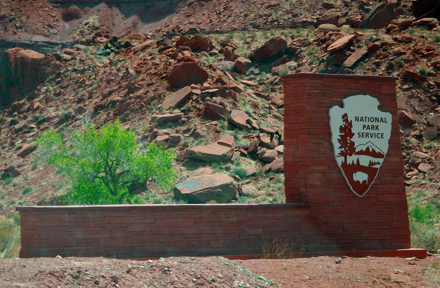
Glen Canyon National Recreation Area
Jun 07 2021 - 3:00 pm
Jun 07 2021 - 3:00 pm
21 / 91
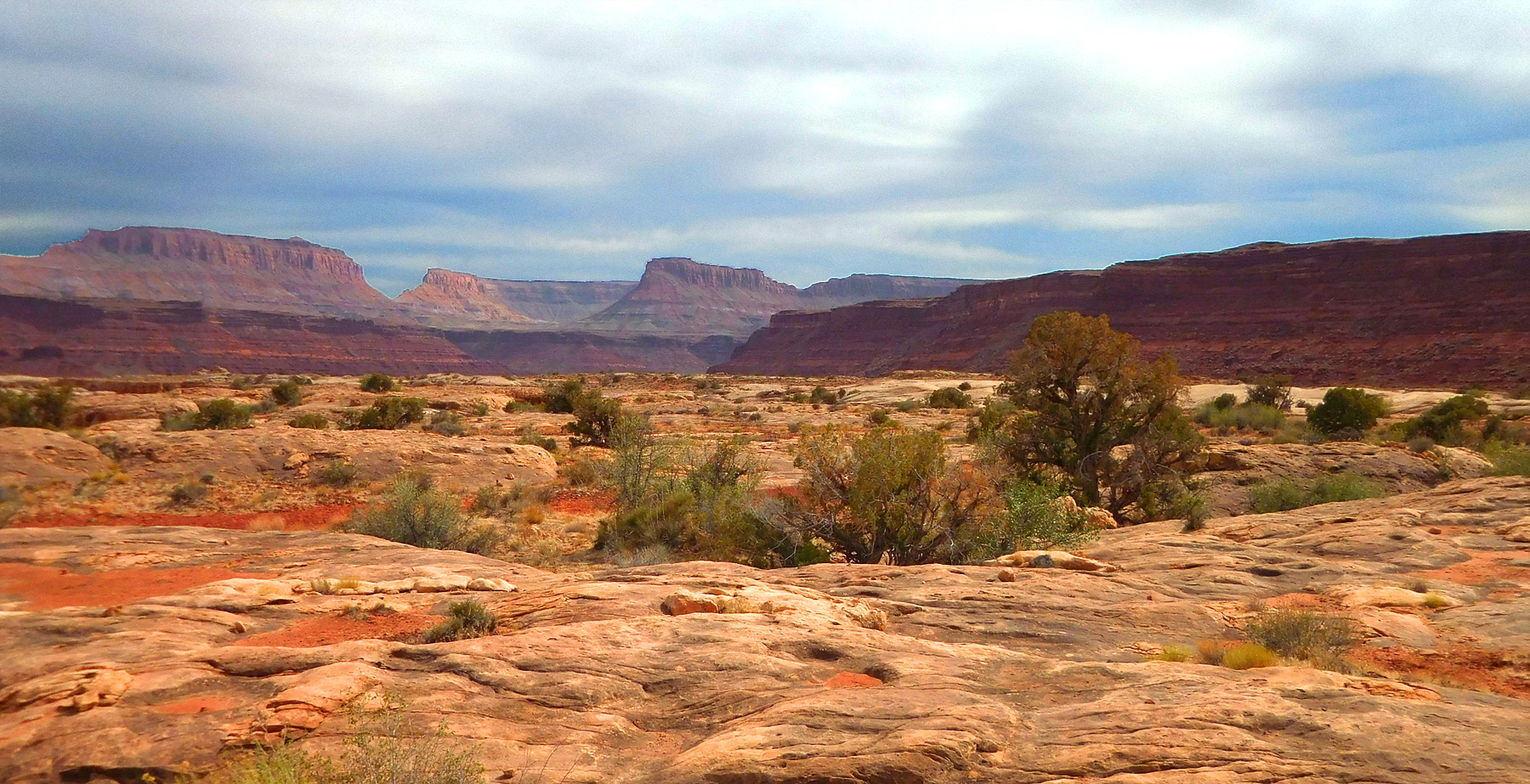
Red rocks all around
Jun 07 2021 - 3:09 pm
Jun 07 2021 - 3:09 pm
22 / 91
North Wash emptying into the Colorado River
Jun 07 2021 - 3:16 pm
Jun 07 2021 - 3:16 pm
23 / 91
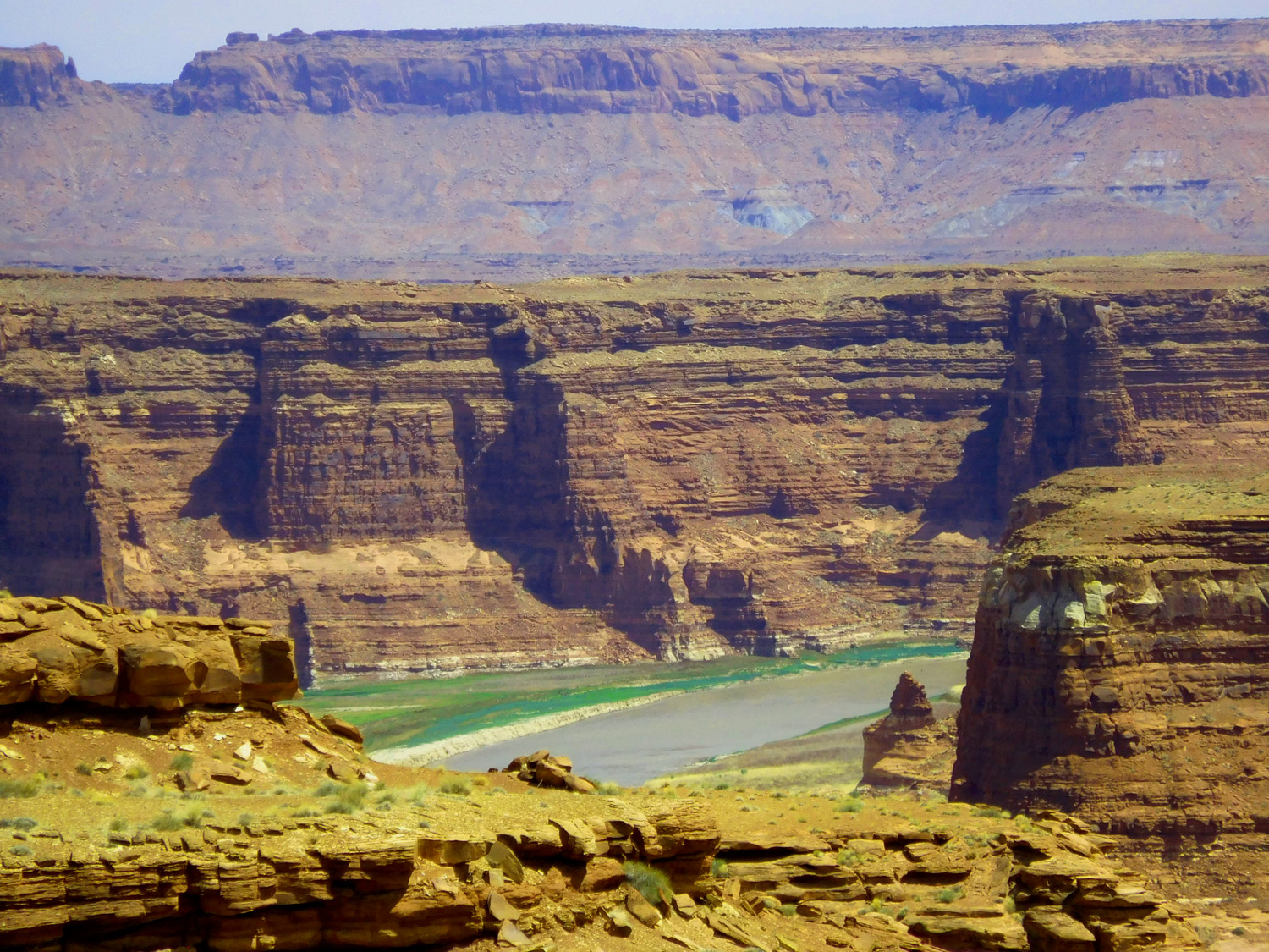
Telephoto of the Colorado River
Jun 07 2021 - 3:17 pm
Jun 07 2021 - 3:17 pm
24 / 91
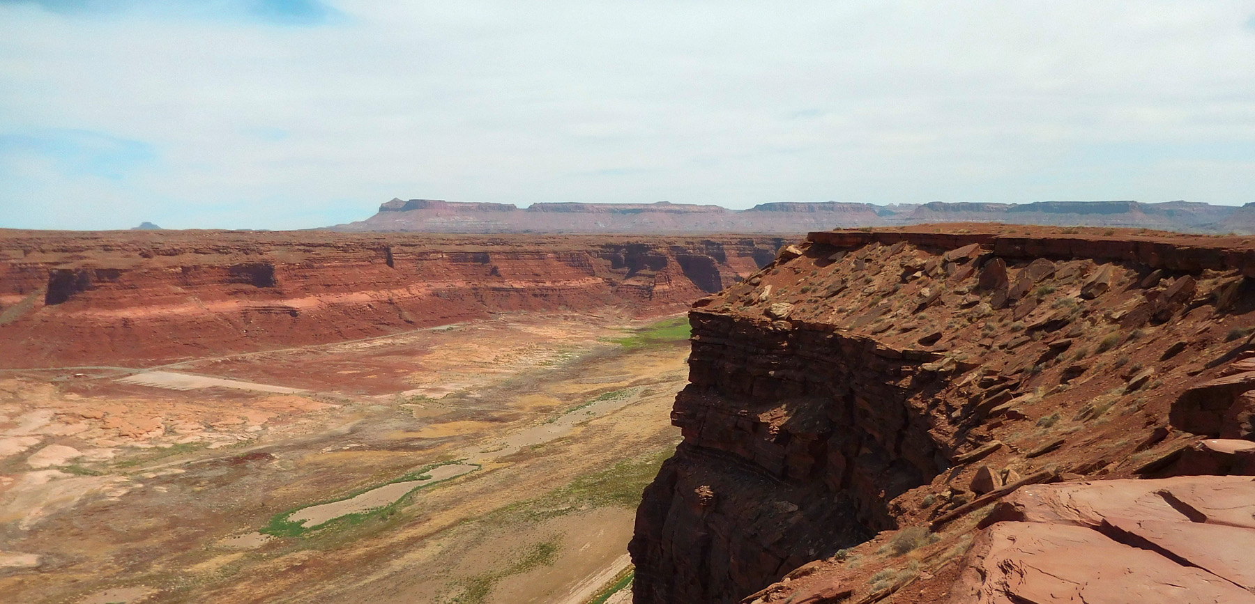
Confluence of North Wash-foreground, Dirty Devil River-left, and Colorado River-background, all entreched about 100' into the White Rim Sandstone
Jun 07 2021 - 3:22 pm
Jun 07 2021 - 3:22 pm
25 / 91
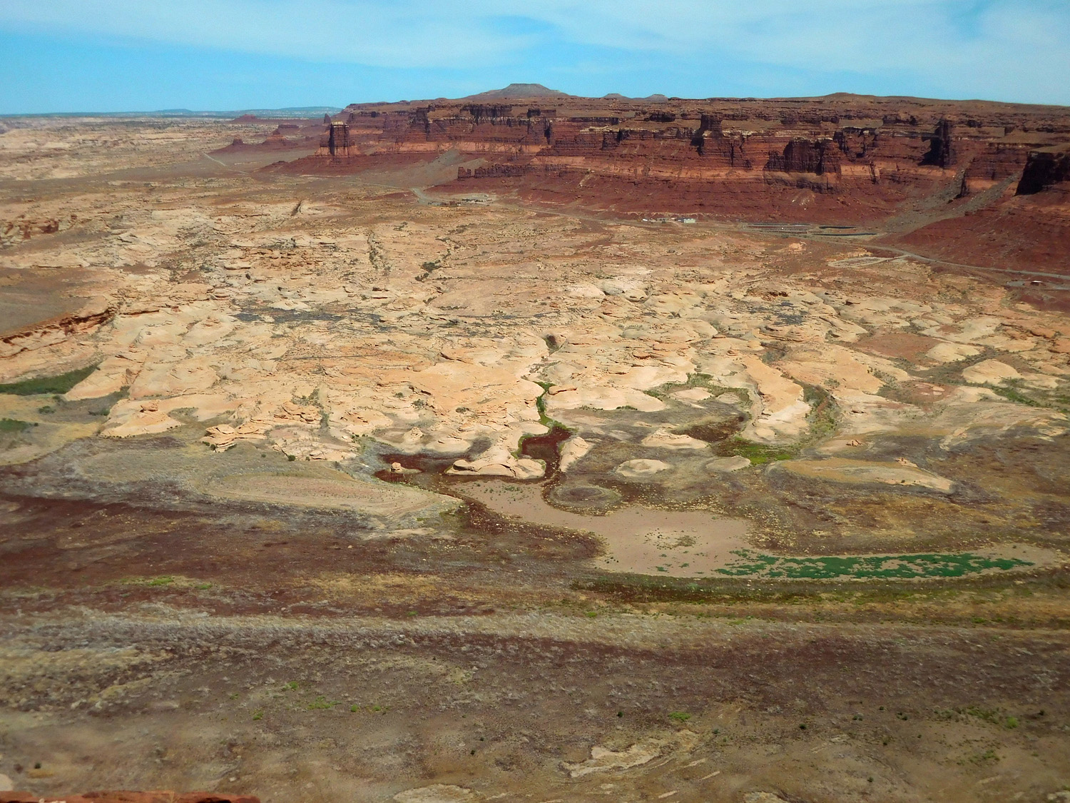
North Wash upstream stripping Moenkopi shales from White Rim Sandstone (enigmatic white band in the Moenkopi Formation)
Jun 07 2021 - 3:23 pm
Jun 07 2021 - 3:23 pm
26 / 91
Another view of stripped surface (paying no attention to slope angle is the enigma)
Jun 07 2021 - 3:23 pm
Jun 07 2021 - 3:23 pm
27 / 91
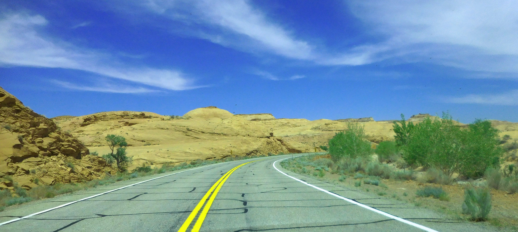
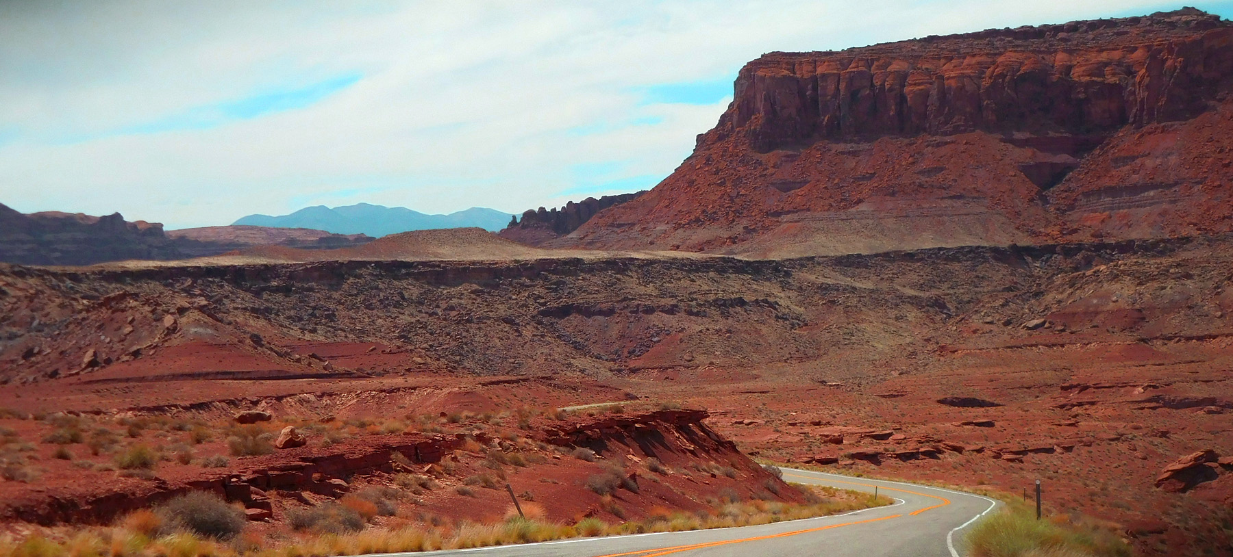
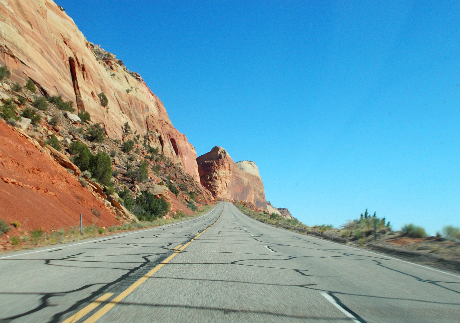
Utah 95 in red rock country
Jun 07 2021 - 3:27 pm
Jun 07 2021 - 3:27 pm
28 / 91
Henry Mountains visible to the west
Jun 07 2021 - 3:28 pm
Jun 07 2021 - 3:28 pm
29 / 91
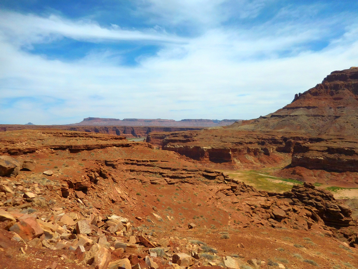
Lake Powell is 138' below pool level covering the parking lot
Jun 07 2021 - 3:30 pm
Jun 07 2021 - 3:30 pm
30 / 91
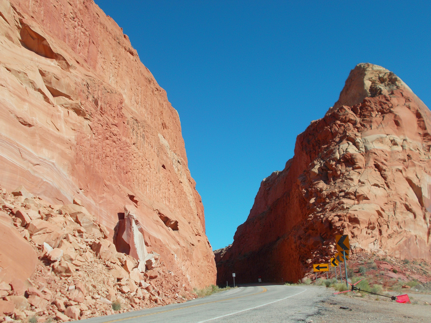
Notch through the Moenkopi Formation
Jun 07 2021 - 3:32 pm
Jun 07 2021 - 3:32 pm
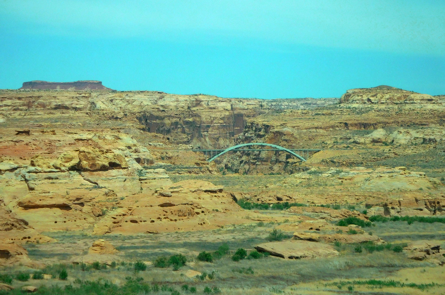
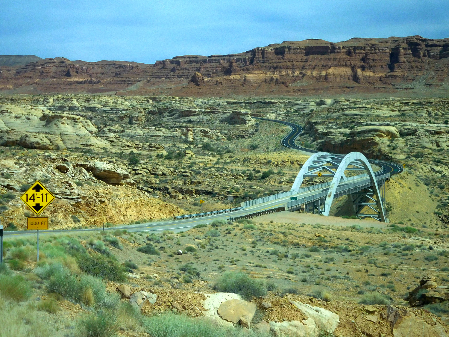
31 / 91
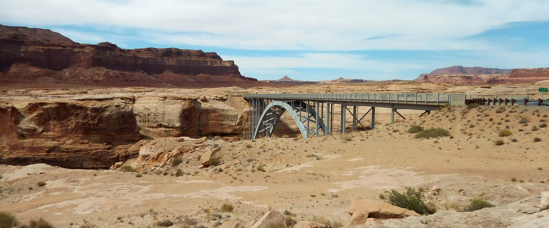
Parabolic arch bridge over the Colorado River
Jun 07 2021 - 3:33 pm
Jun 07 2021 - 3:33 pm
32 / 91
White Rim Sandstone surface (Dirty Devil River cuts the 100' deep canyon in the middle of the surface)
Jun 07 2021 - 3:37 pm
Jun 07 2021 - 3:37 pm
33 / 91
Dirty Devil River Bridge
Jun 07 2021 - 3:42 pm
Jun 07 2021 - 3:42 pm
34 / 91
Arched below the pavement
Jun 07 2021 - 3:48 pm
Jun 07 2021 - 3:48 pm
35 / 91
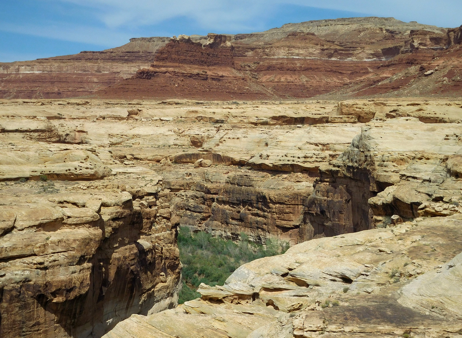
Dirty Devil River Canyon entrenched 100 feet in the White Rim-Cedar Mesa Sandstone
Jun 07 2021 - 3:46 pm
Jun 07 2021 - 3:46 pm
36 / 91
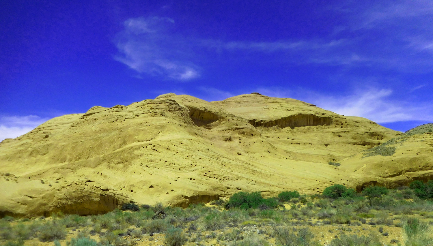
Hoodoo weathering in ancient sand dunes
Jun 07 2021 - 3:49 pm
Jun 07 2021 - 3:49 pm
37 / 91
UT 95 between the Dirty Devil and Colorado Rivers
Jun 07 2021 - 3:50 pm
Jun 07 2021 - 3:50 pm
38 / 91
Weathering resembles a sitting dinosaur in dinosaur country
Jun 07 2021 - 3:52 pm
Jun 07 2021 - 3:52 pm
39 / 91
Red Moenkopi Formation Monuments
Jun 07 2021 - 3:55 pm
Jun 07 2021 - 3:55 pm
40 / 91
Colorado River entrenched 100 feet into the White Rim-Cedar Mesa Sandstone (Mesozoic section up to Cretaceous Dakota Sandstone in background)
Jun 07 2021 - 3:56 pm
Jun 07 2021 - 3:56 pm
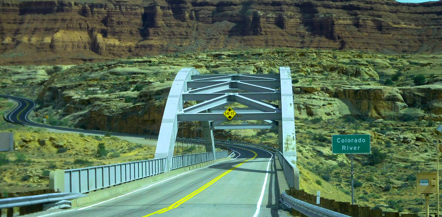
41 / 91
Colorado River Bridge
Jun 07 2021 - 3:58 pm
Jun 07 2021 - 3:58 pm
42 / 91
Arched partially above the roadway
May 17 2013 - 3:59 pm
May 17 2013 - 3:59 pm
43 / 91
Weathered cross-bedding indicates ancient sand dunes
Jun 07 2021 - 4:02 pm
Jun 07 2021 - 4:02 pm
44 / 91
Henry Mountains over ancient sand dunes
Jun 07 2021 - 4:05 pm
Jun 07 2021 - 4:05 pm
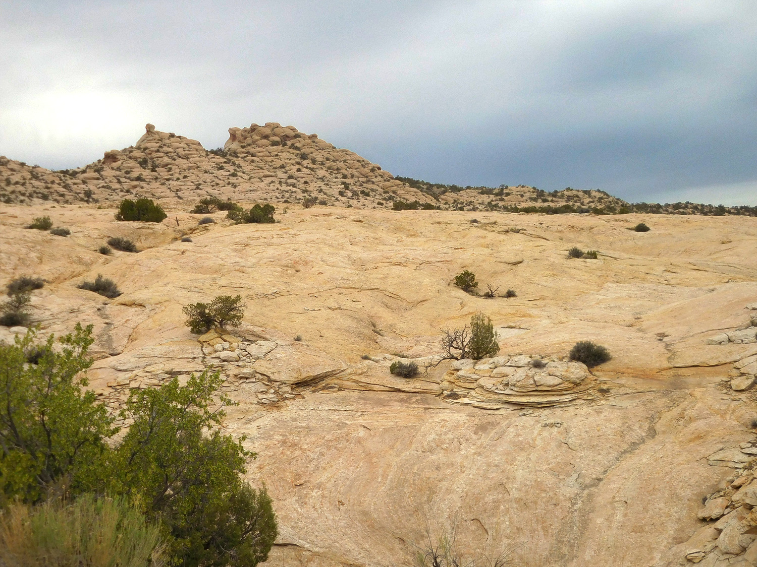
45 / 91
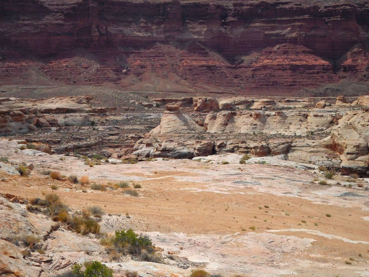
Permian White Rim Sandstone forms a major stripped surface in this region
Jun 07 2021 - 4:10 pm
Jun 07 2021 - 4:10 pm
46 / 91
Moenkopi Formation
Jun 07 2021 - 4:11 pm
Jun 07 2021 - 4:11 pm
47 / 91
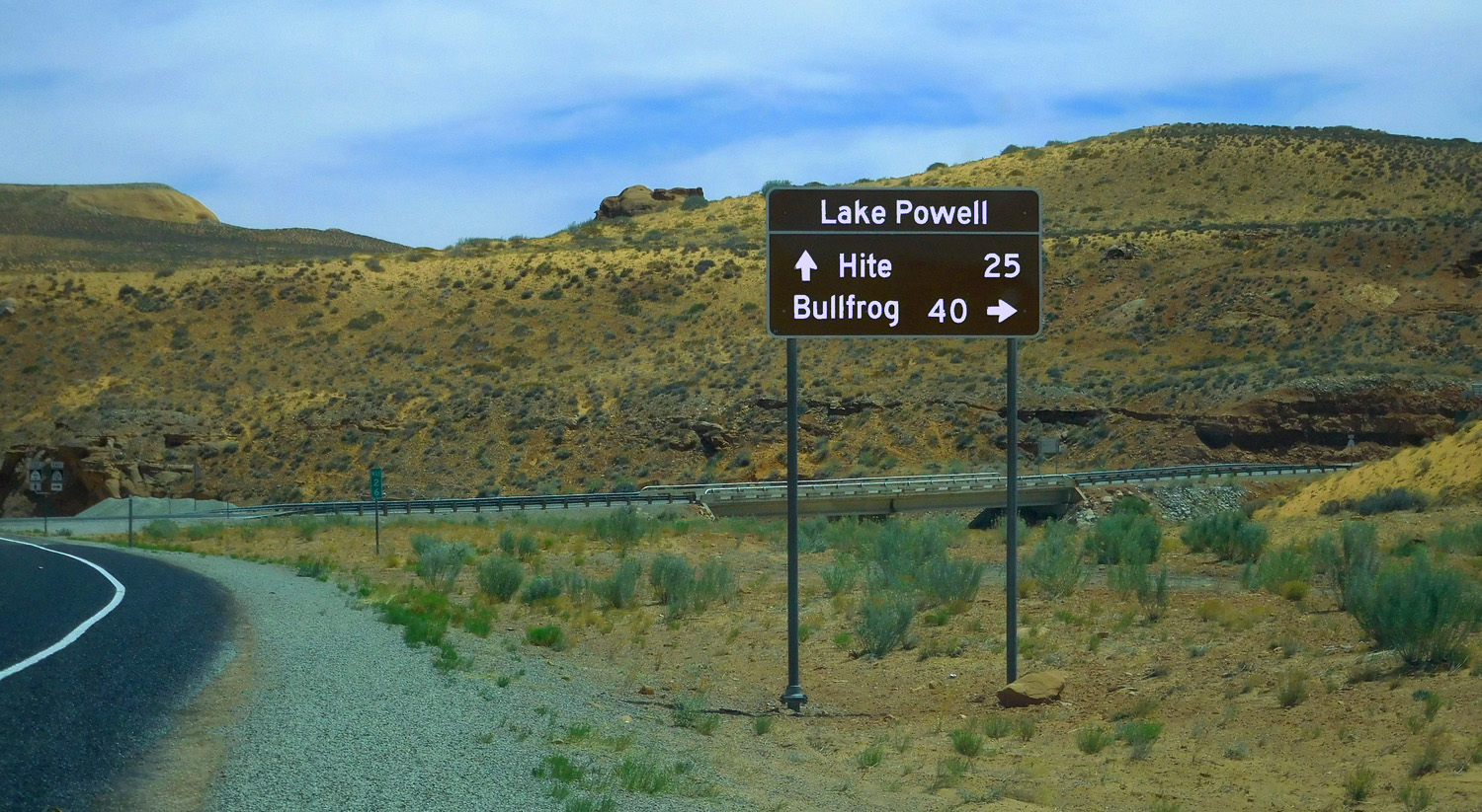
Road 3 miles to Lake Powell
Jun 07 2021 - 4:38 pm
Jun 07 2021 - 4:38 pm
48 / 91
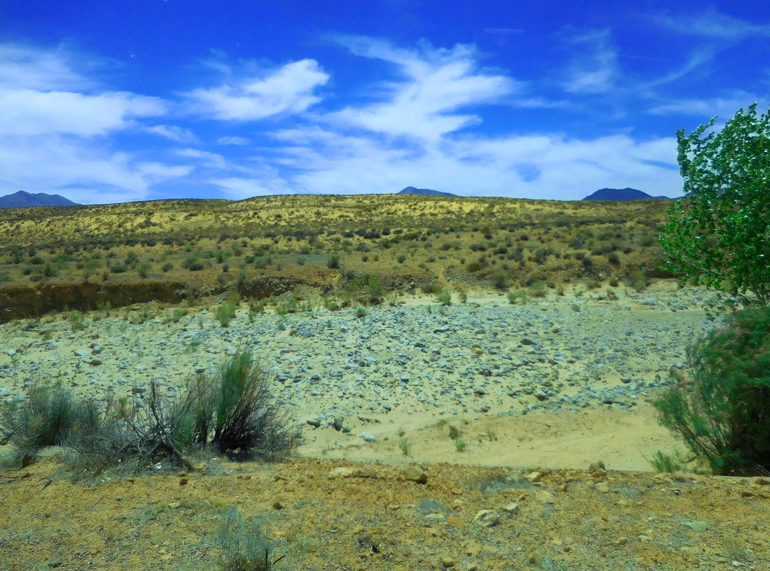
Colorado River terraces gravels
Jun 07 2021 - 4:34 pm
Jun 07 2021 - 4:34 pm
49 / 91
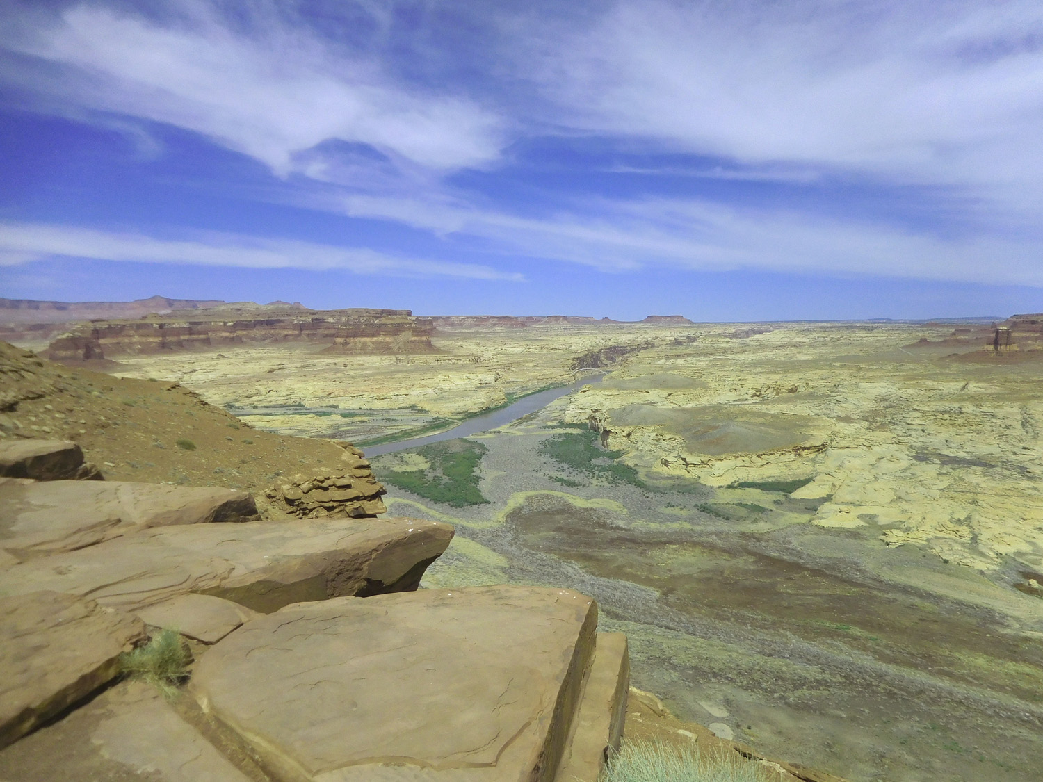
No Lake Powell, about 140' below pool level
Jun 07 2021 - 4:31 pm
Jun 07 2021 - 4:31 pm
50 / 91
Turn around point
Jun 07 2021 - 4:36 pm
Jun 07 2021 - 4:36 pm
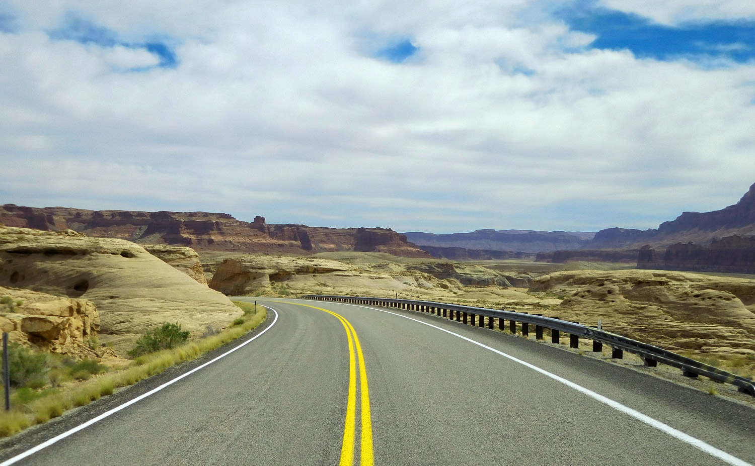
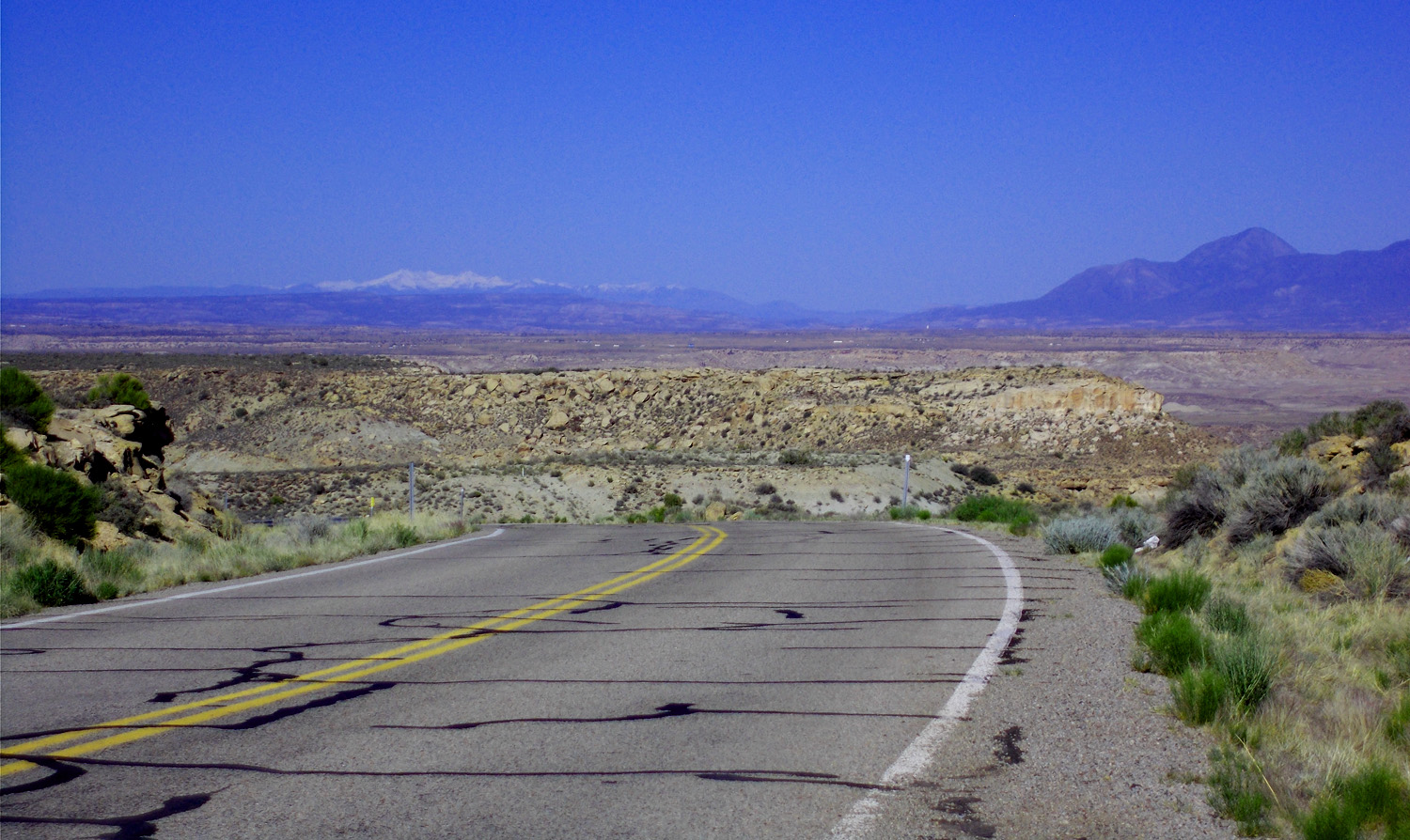
51 / 91
Back to UT 95
Jun 07 2021 - 4:11 pm
Jun 07 2021 - 4:11 pm
52 / 91
White Rim Sandstone surface (overlain by Moenkopi-Chinle slopes below Wingate-Navajo-Kayenta {Glen Canyon Group} and Entrada cliffs)
Jun 07 2021 - 4:49 pm
Jun 07 2021 - 4:49 pm
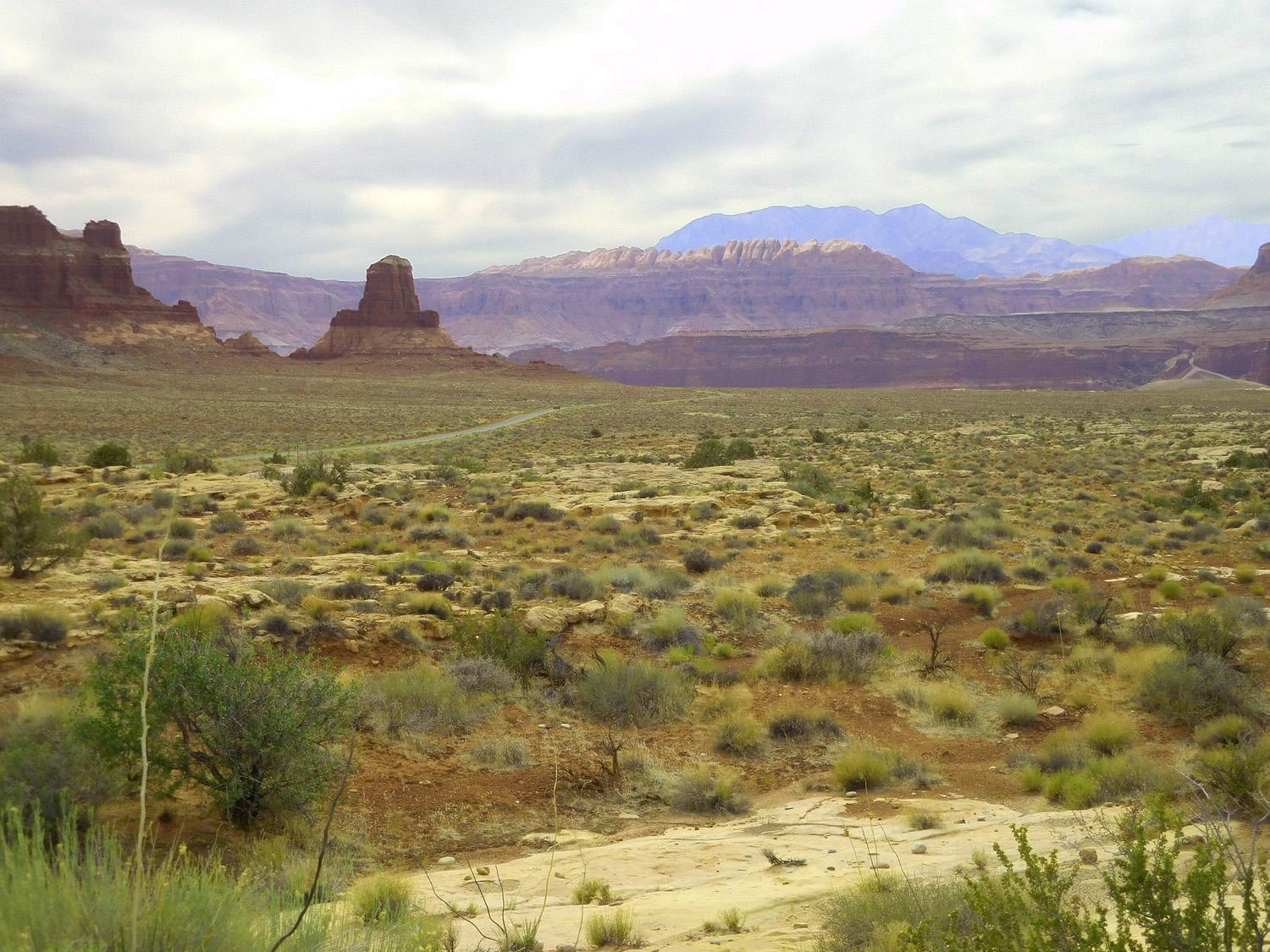
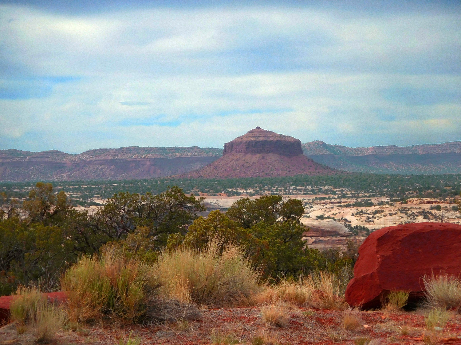
53 / 91
Henry Mountains over Moenkopi shales
Jun 07 2021 - 4:52 pm
Jun 07 2021 - 4:52 pm
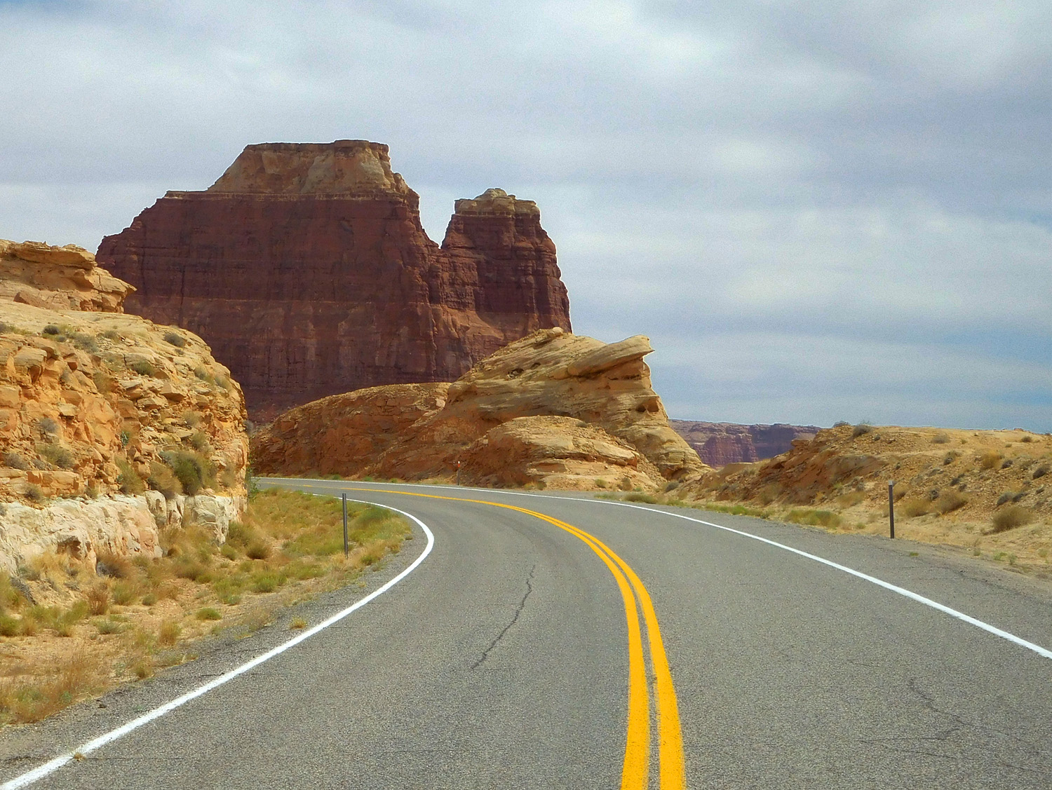
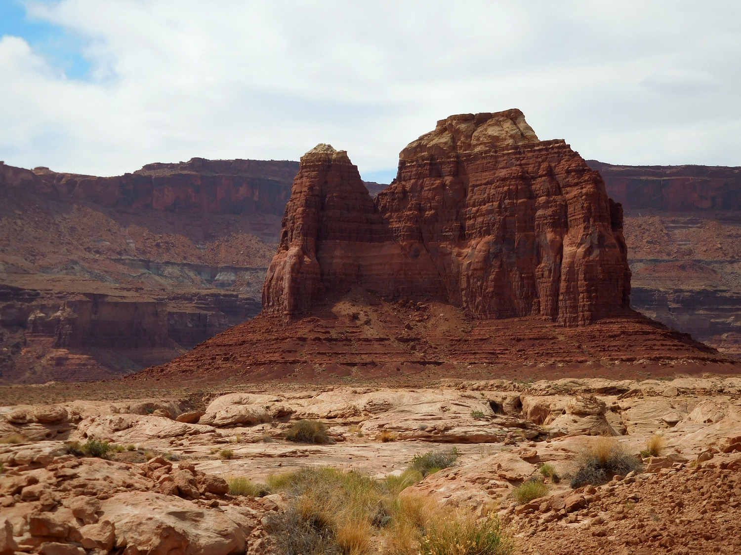
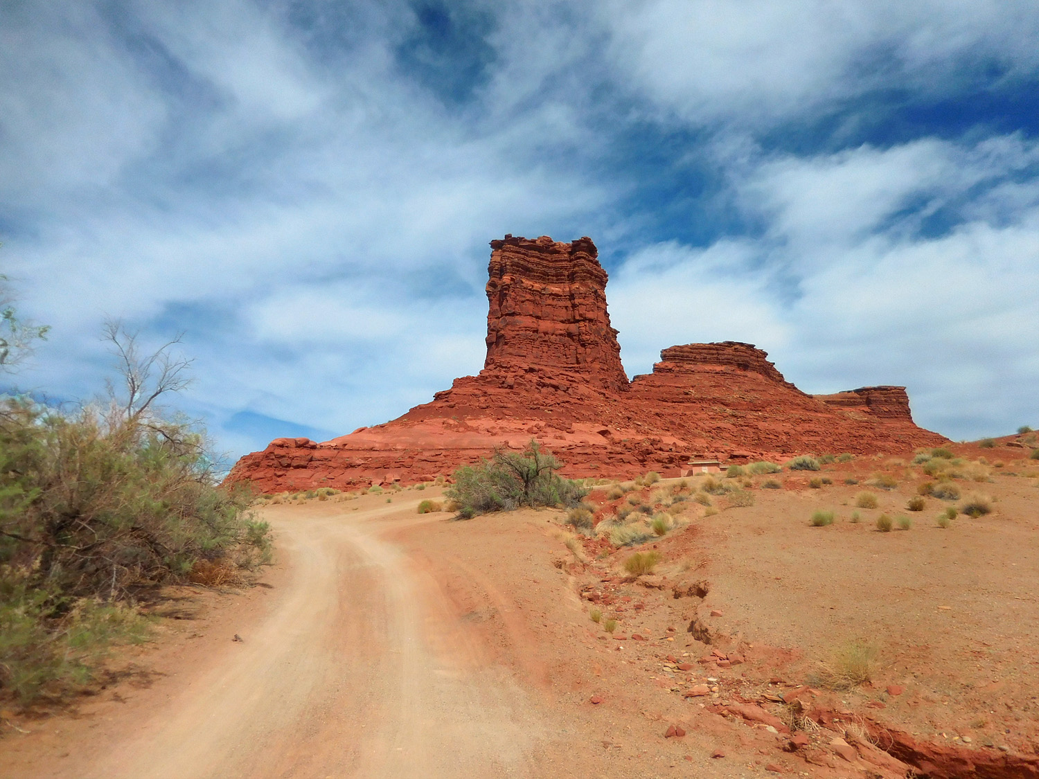
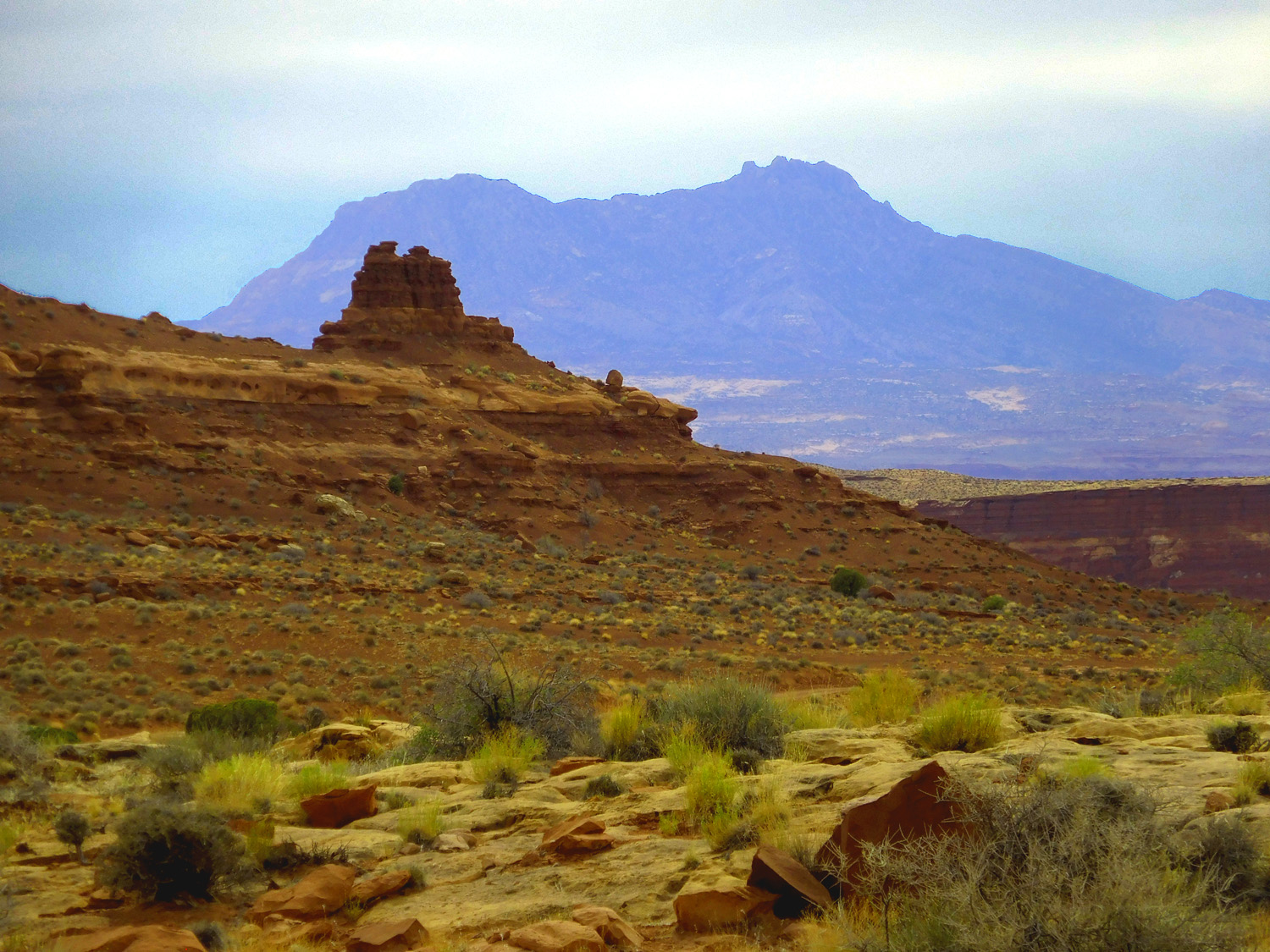
54 / 91
Jacobs Chair (6,784')
Jun 07 2021 - 5:04 pm
Jun 07 2021 - 5:04 pm
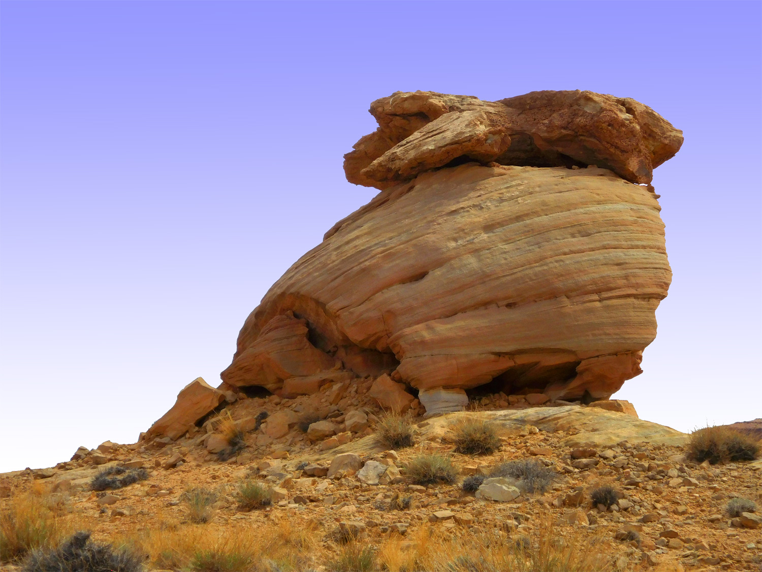
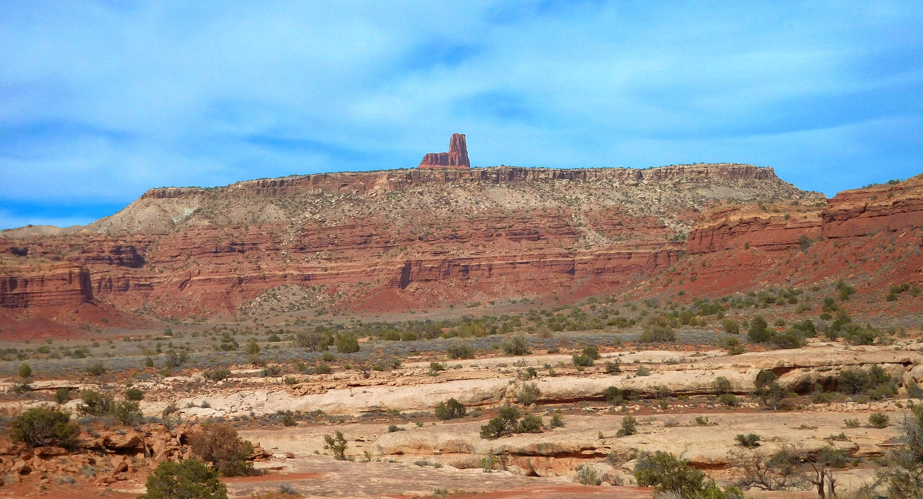
55 / 91
The Cheesebox (6,318')
Jun 07 2021 - 5:24 pm
Jun 07 2021 - 5:24 pm
56 / 91
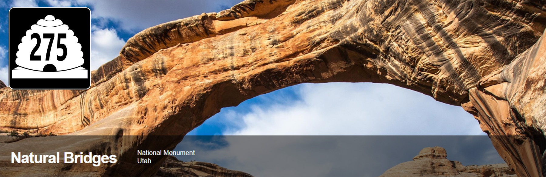
UT 275 "Trail of the Ancients" to Natural Bridges National Monument
from NBNM Website
from NBNM Website
57 / 91
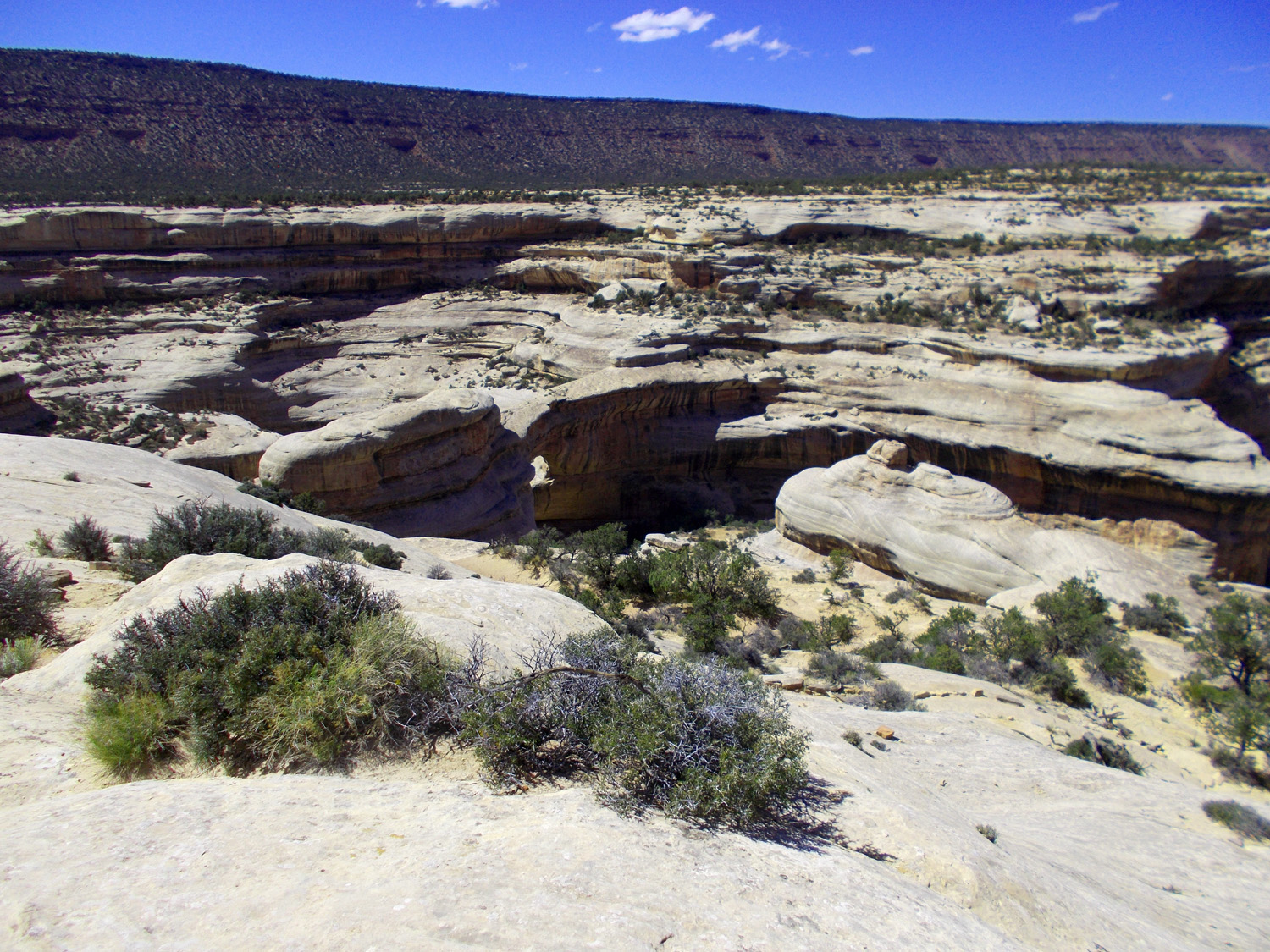
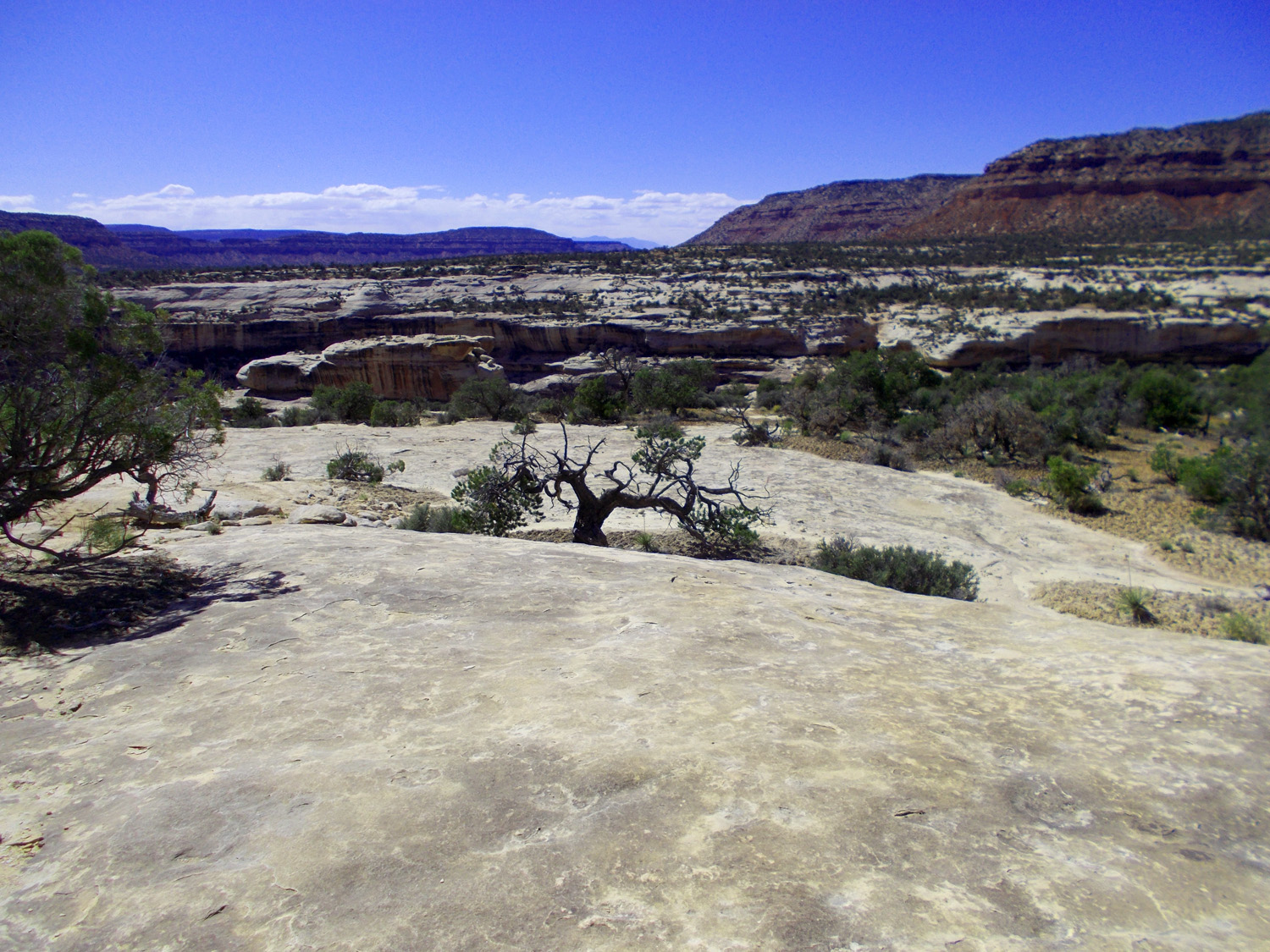
White Rim Sandstone surface and about 100' entrenchment by the washes (narrow canyons to flush sediment from the area in sparse rains)
May 23 2021 - 3:47 pm
May 23 2021 - 3:47 pm
58 / 91
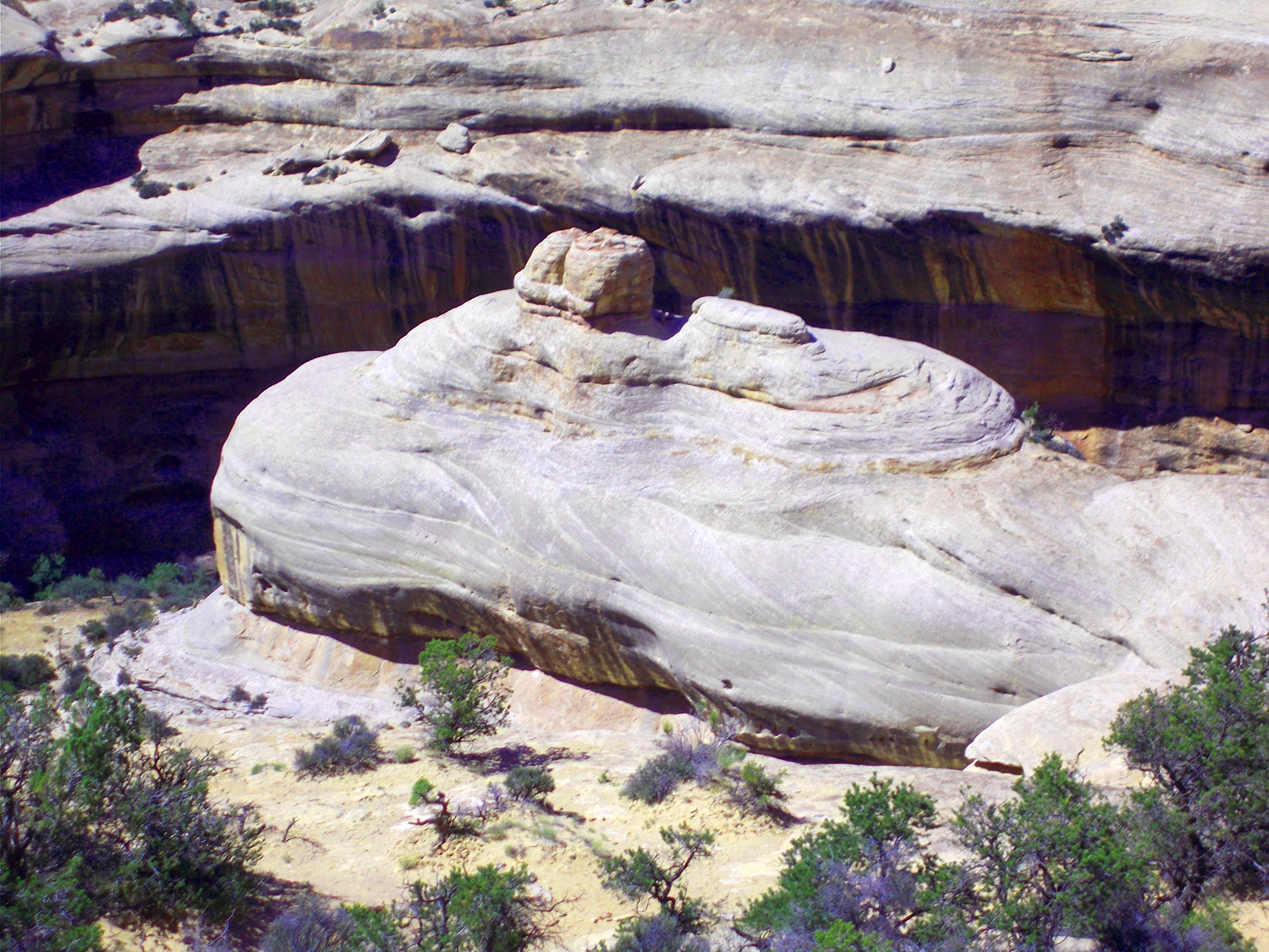
Telephoto of weathered scour
May 23 2021 - 3:47 pm
May 23 2021 - 3:47 pm
59 / 91
Natural Bridge
May 17 2013 - 6:26 pm
May 17 2013 - 6:26 pm
60 / 91
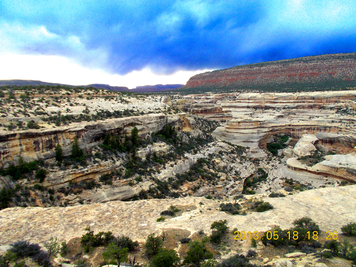
Telephoto of the White Canyon
May 23 2021 - 4:09 pm
May 23 2021 - 4:09 pm
61 / 91
Deep Canyon
May 23 2021 - 4:09 pm
May 23 2021 - 4:09 pm
62 / 91
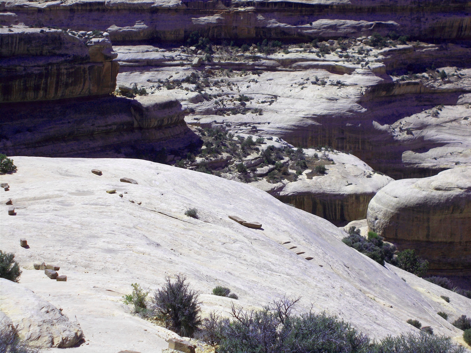
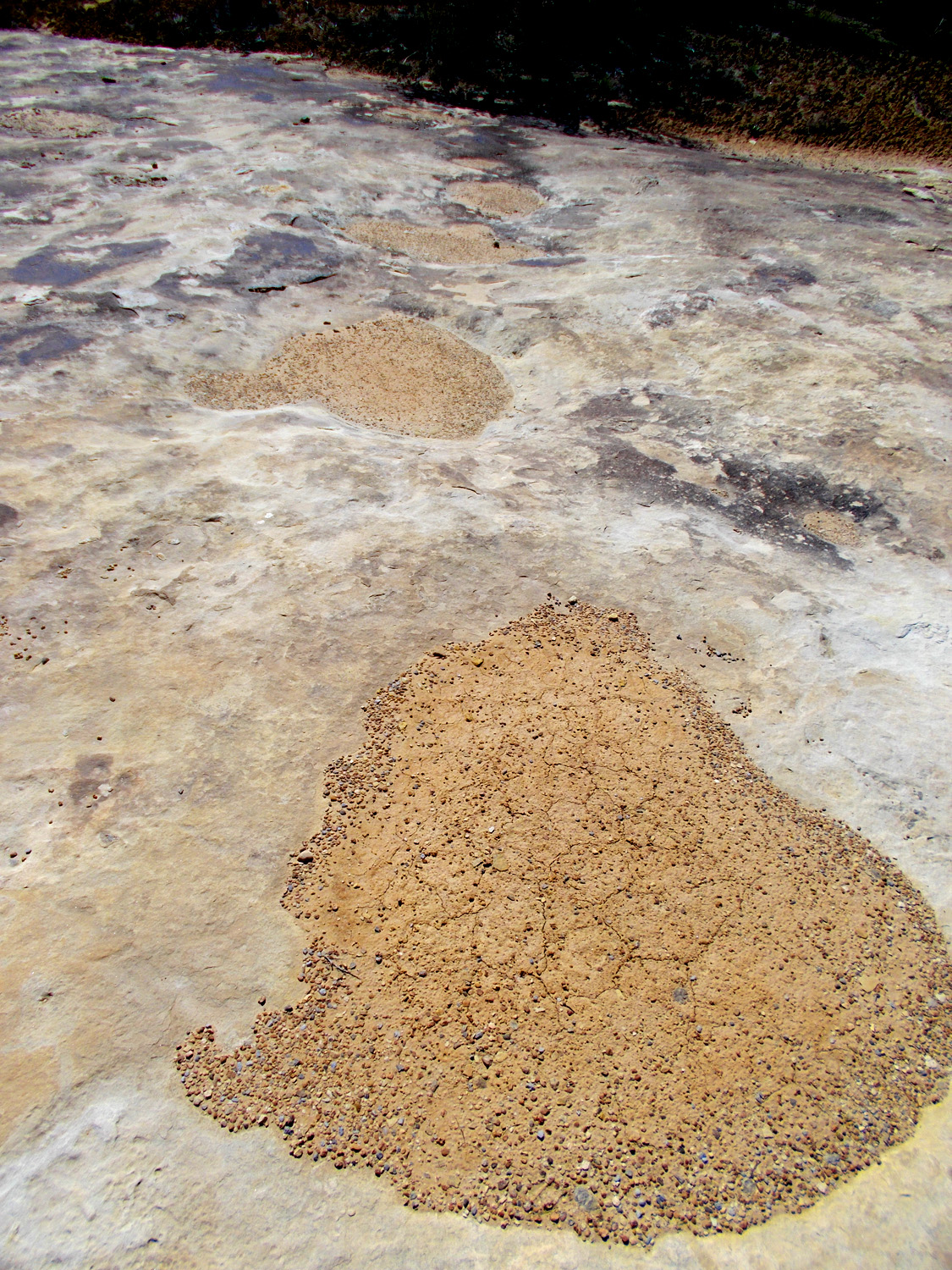
Headward stream erosion (dry watering holes aligned in lieu of streams on sandstone surface perhaps becoming a canyon)
May 23 2021 - 4:09 pm
May 23 2021 - 4:09 pm
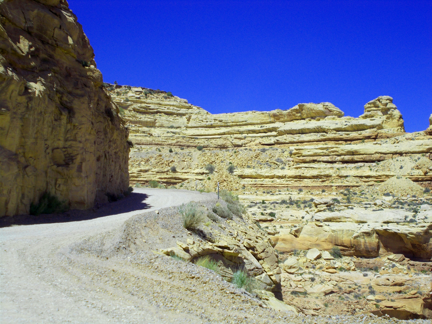
63 / 91
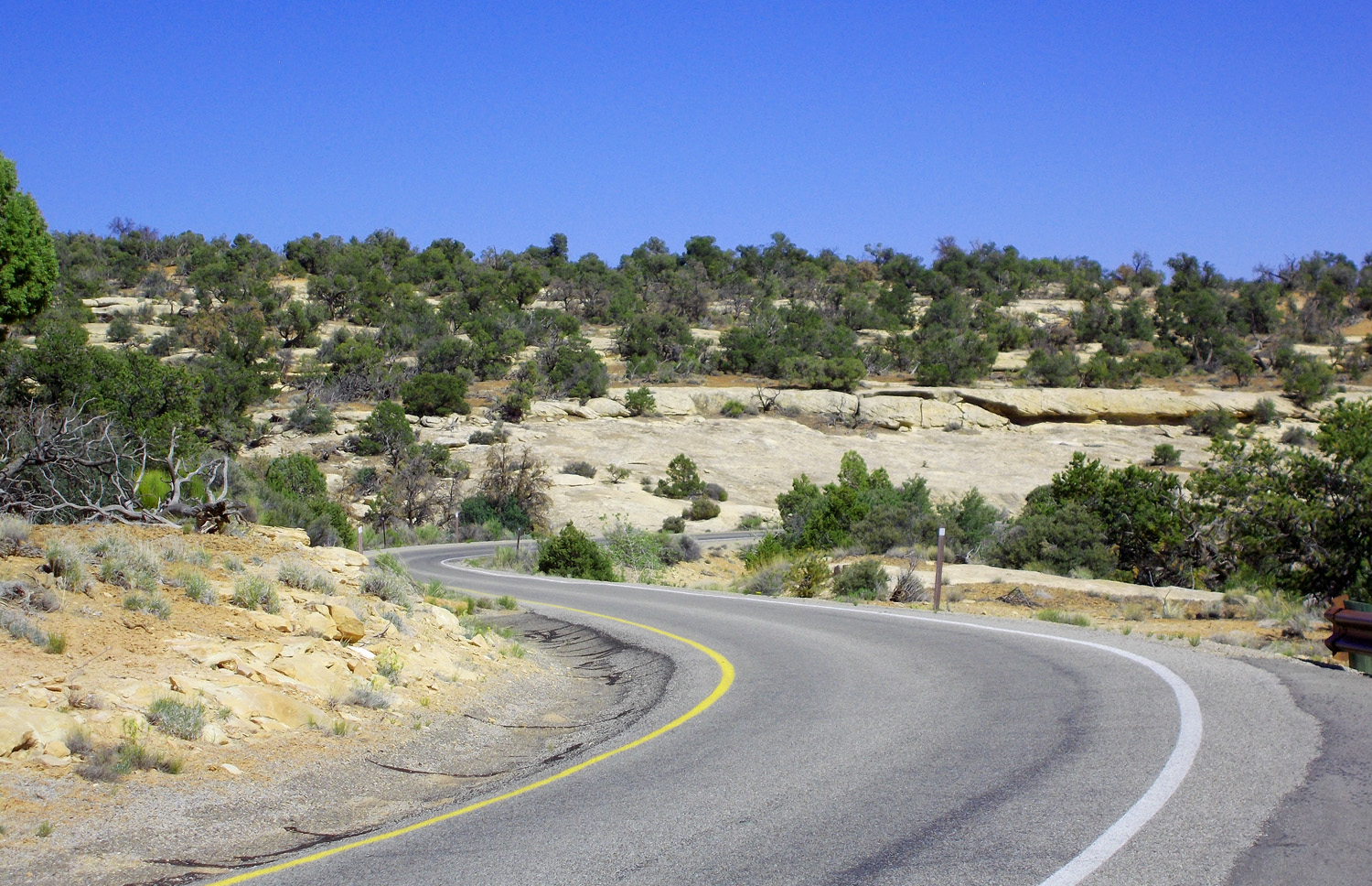
One way loop road in the National Monument
May 23 2021 - 4:09 pm
May 23 2021 - 4:09 pm
64 / 91
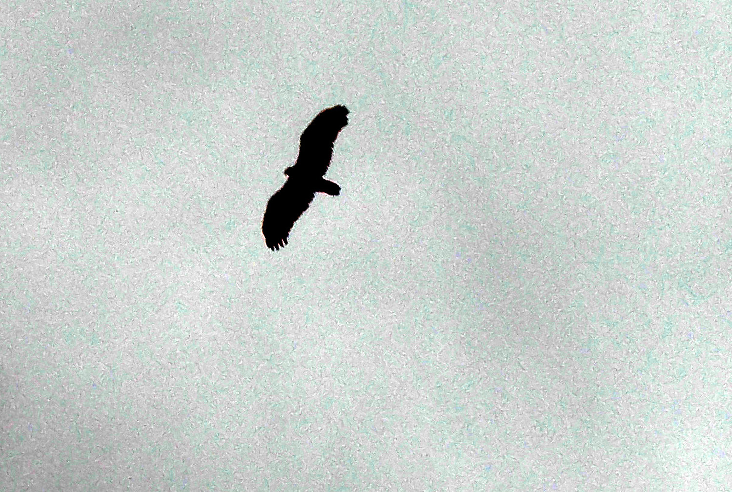
Gliding golden eagle checked us out
May 17 2013 - 6:29 pm
May 17 2013 - 6:29 pm
65 / 91
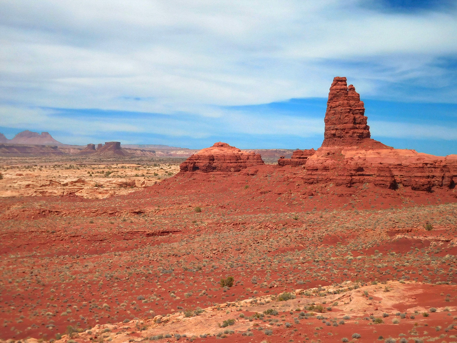
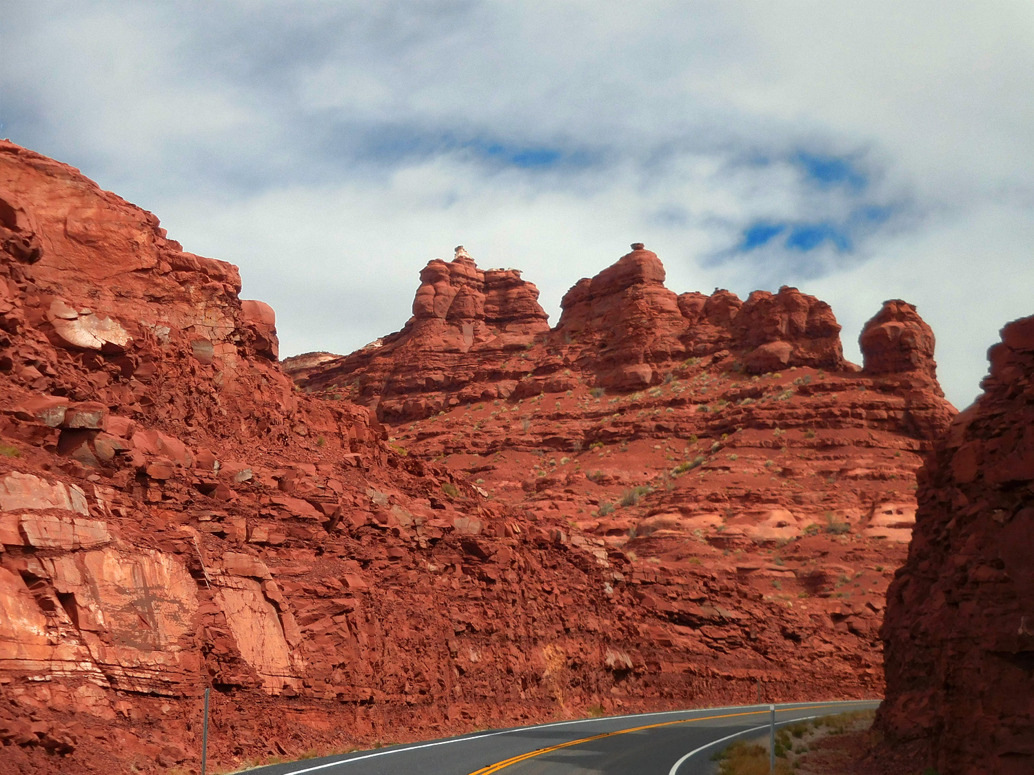
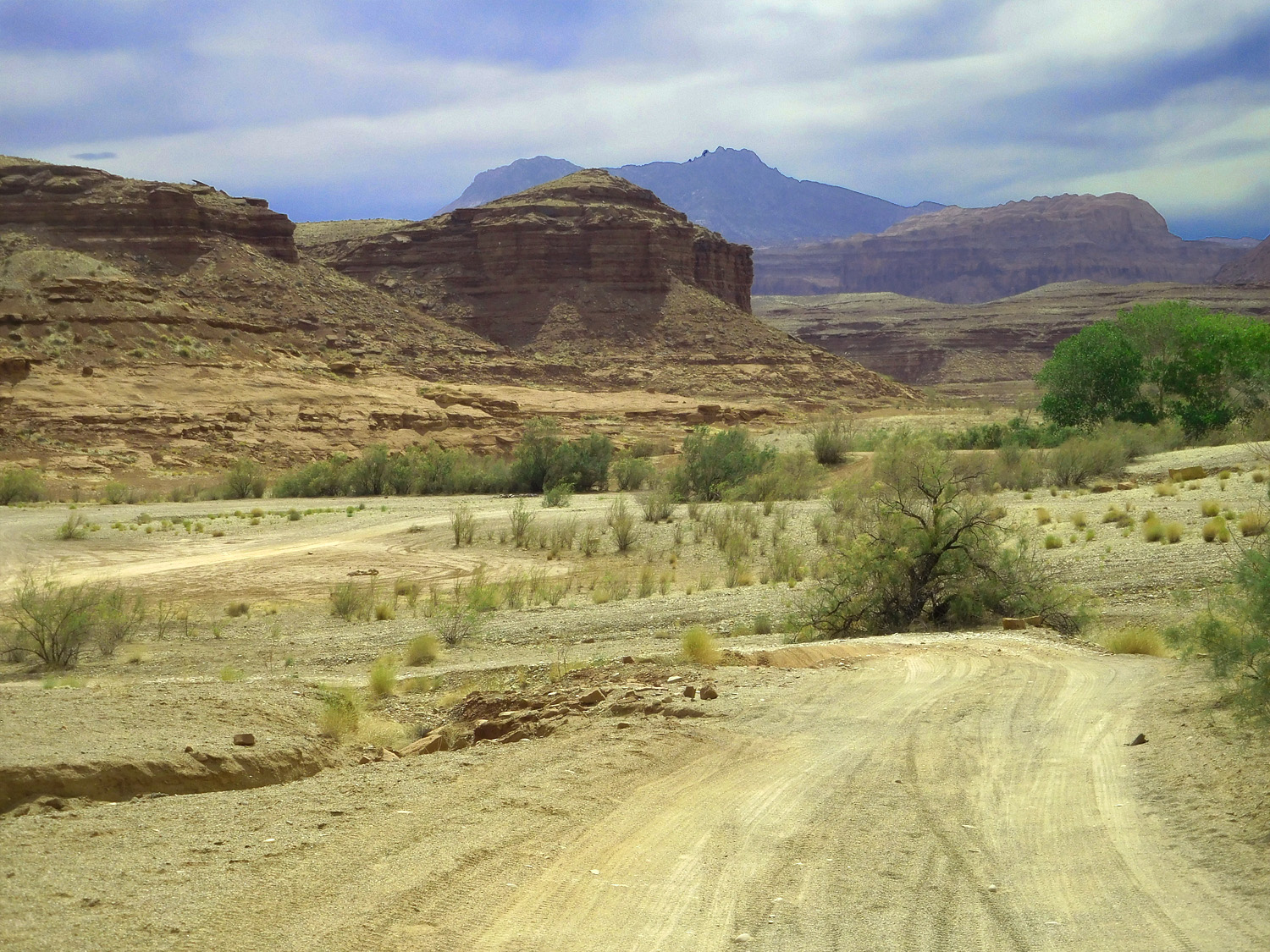
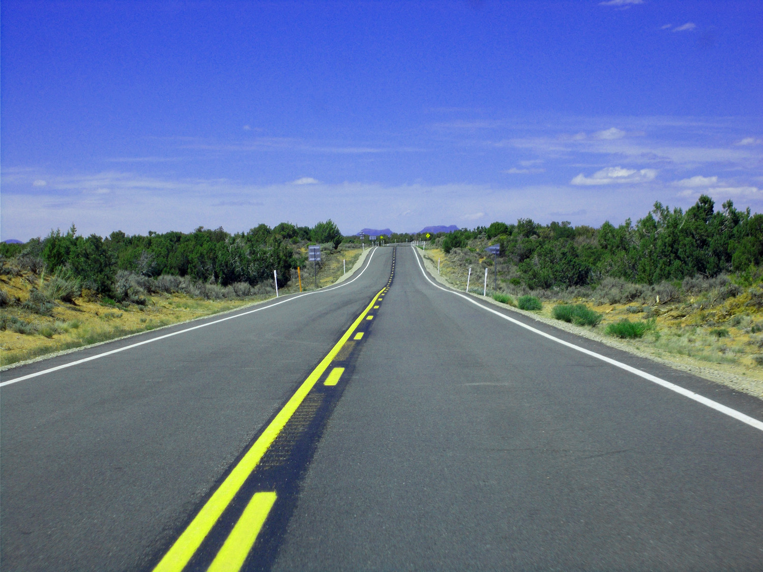
UT 261: Valley of the Gods, Moki Dugway, and Cedar Mesa
66 / 91
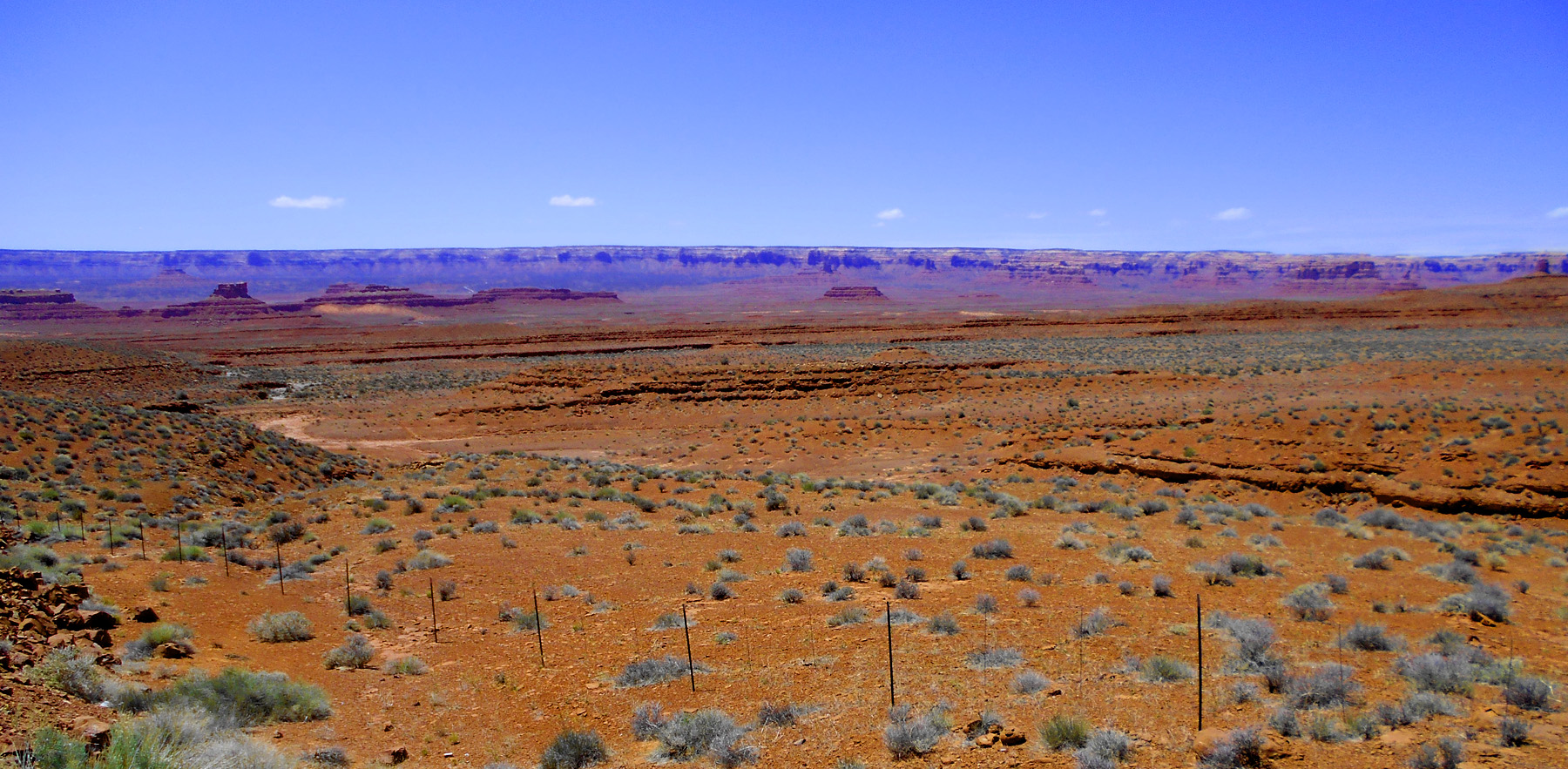
Valley of the Gods
May 23 2021 - 2:23 pm
May 23 2021 - 2:23 pm
67 / 91
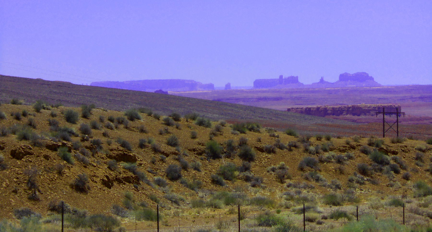
A glimpse of Monument Valley
May 23 2021 - 2:23 pm
May 23 2021 - 2:23 pm
68 / 91
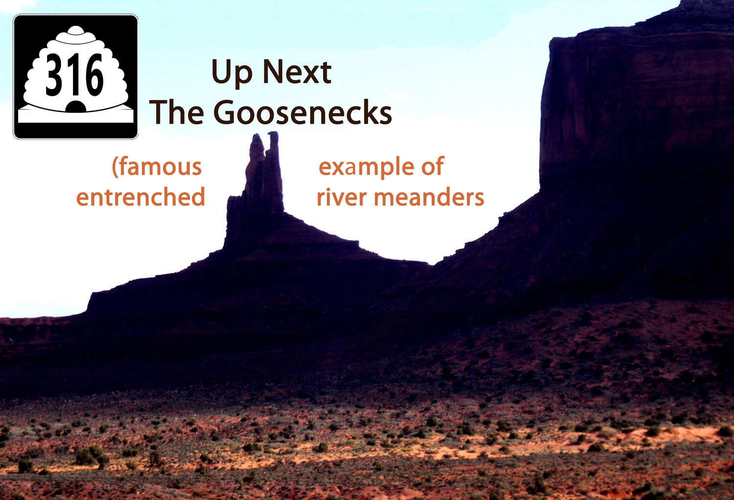
UT 316 a four mile jaunt and back to the Goosenecks of the San Juan River
May 18 2013 - 6:23 pm
May 18 2013 - 6:23 pm
69 / 91
West Gooseneck
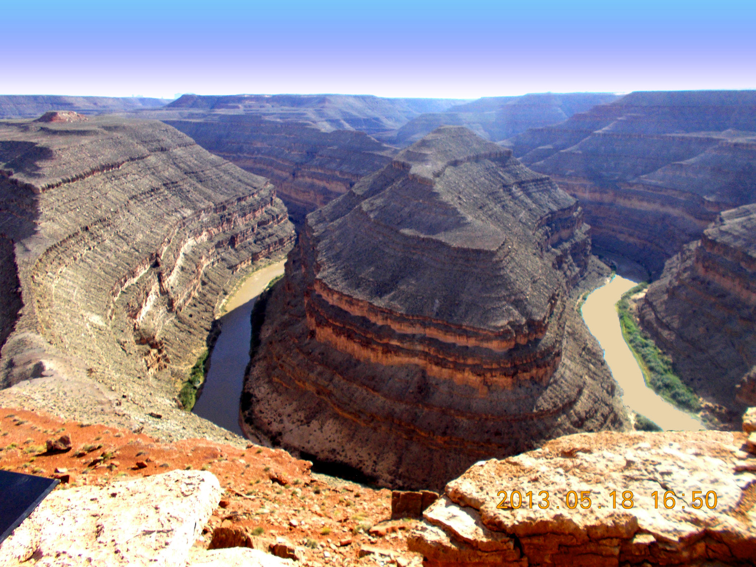
May 18 2013 - 6:50 pm
May 18 2013 - 6:50 pm
70 / 91
East Gooseneck
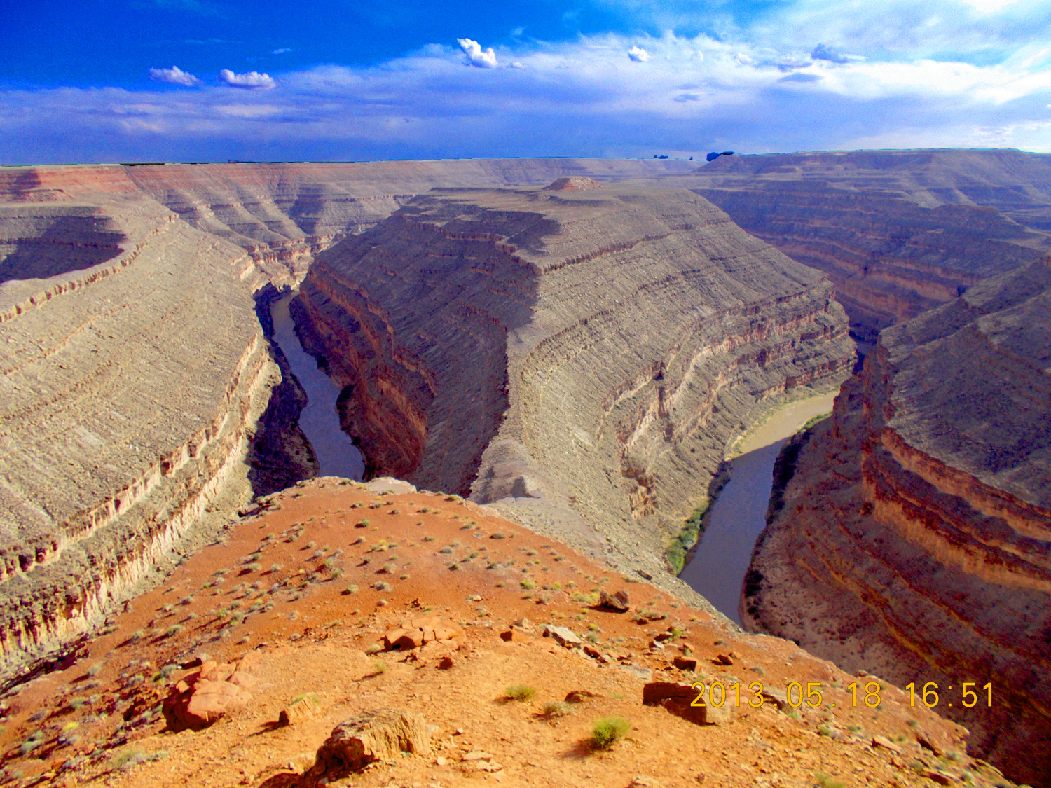
May 18 2013 - 6:49 pm
May 18 2013 - 6:49 pm
71 / 91
River first then slope erosion polishes resistant sandstone surfaces
May 18 2013 - 6:52 pm
May 18 2013 - 6:52 pm
72 / 91
Back to UT 216, Valley of the Gods in front of eastern limb of Monument Uplift
May 23 2021 - 2:30 pm
May 23 2021 - 2:30 pm
73 / 91
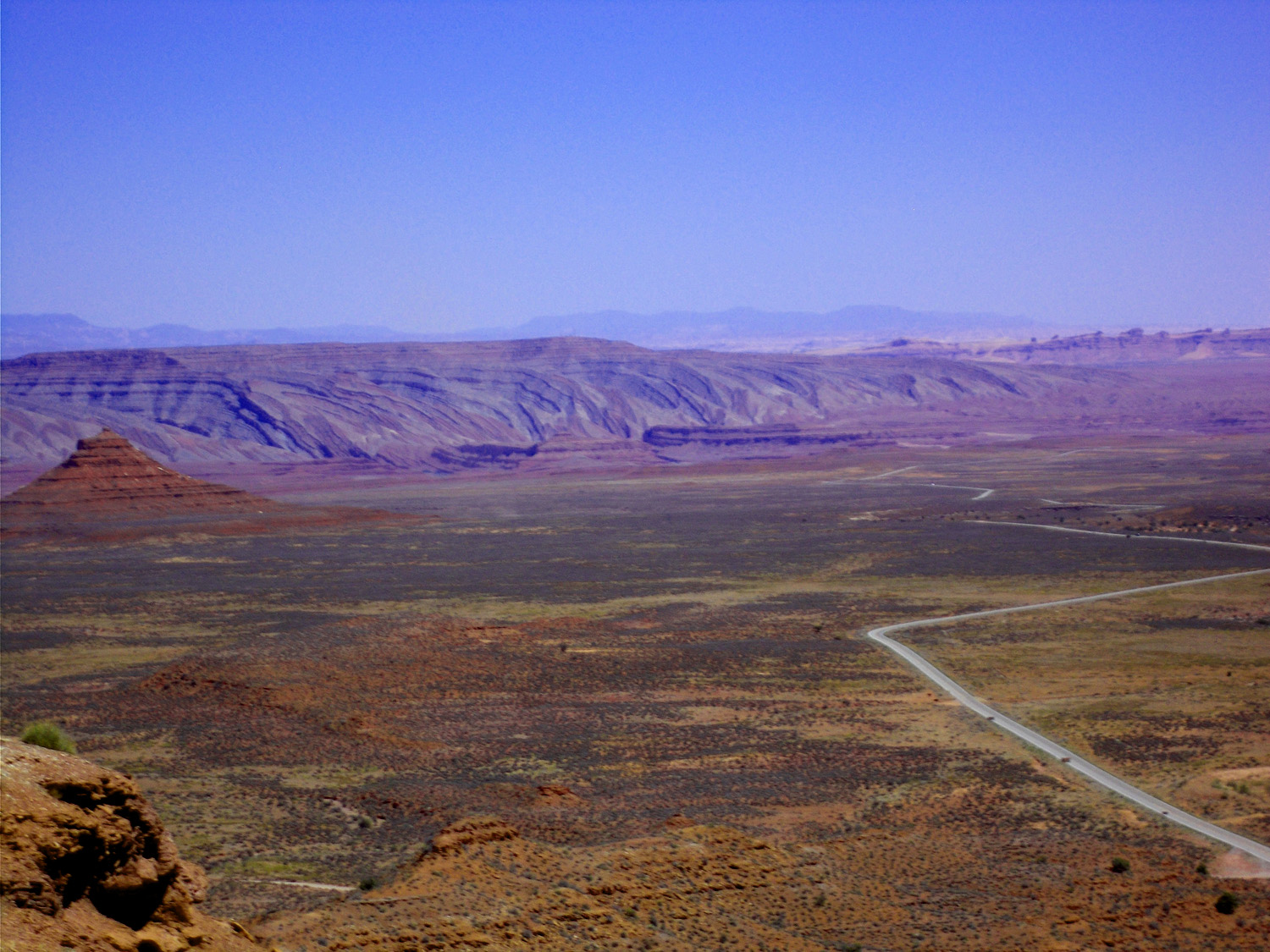
Approaching Permian White Rim and Cedar Mesa sandstone cliffs (unpaved Moki Dugway ascends the cliffs)
May 23 2021 - 2:43 pm
May 23 2021 - 2:43 pm
74 / 91
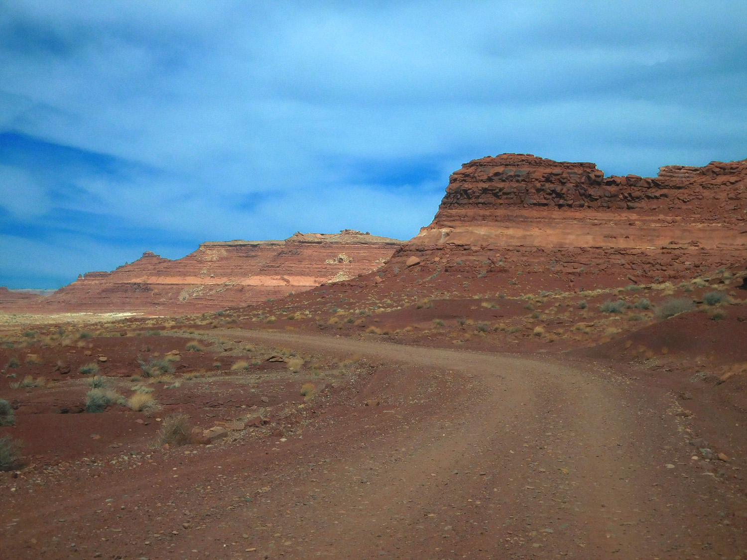
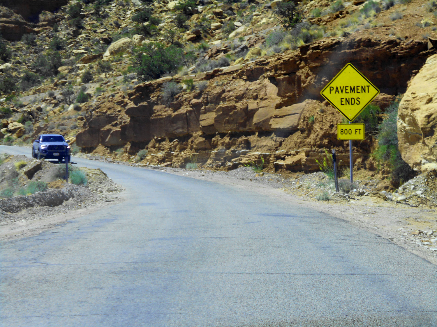
Pavement ends, start of Moki Dugway
May 23 2021 - 2:52 pm
May 23 2021 - 2:52 pm
75 / 91
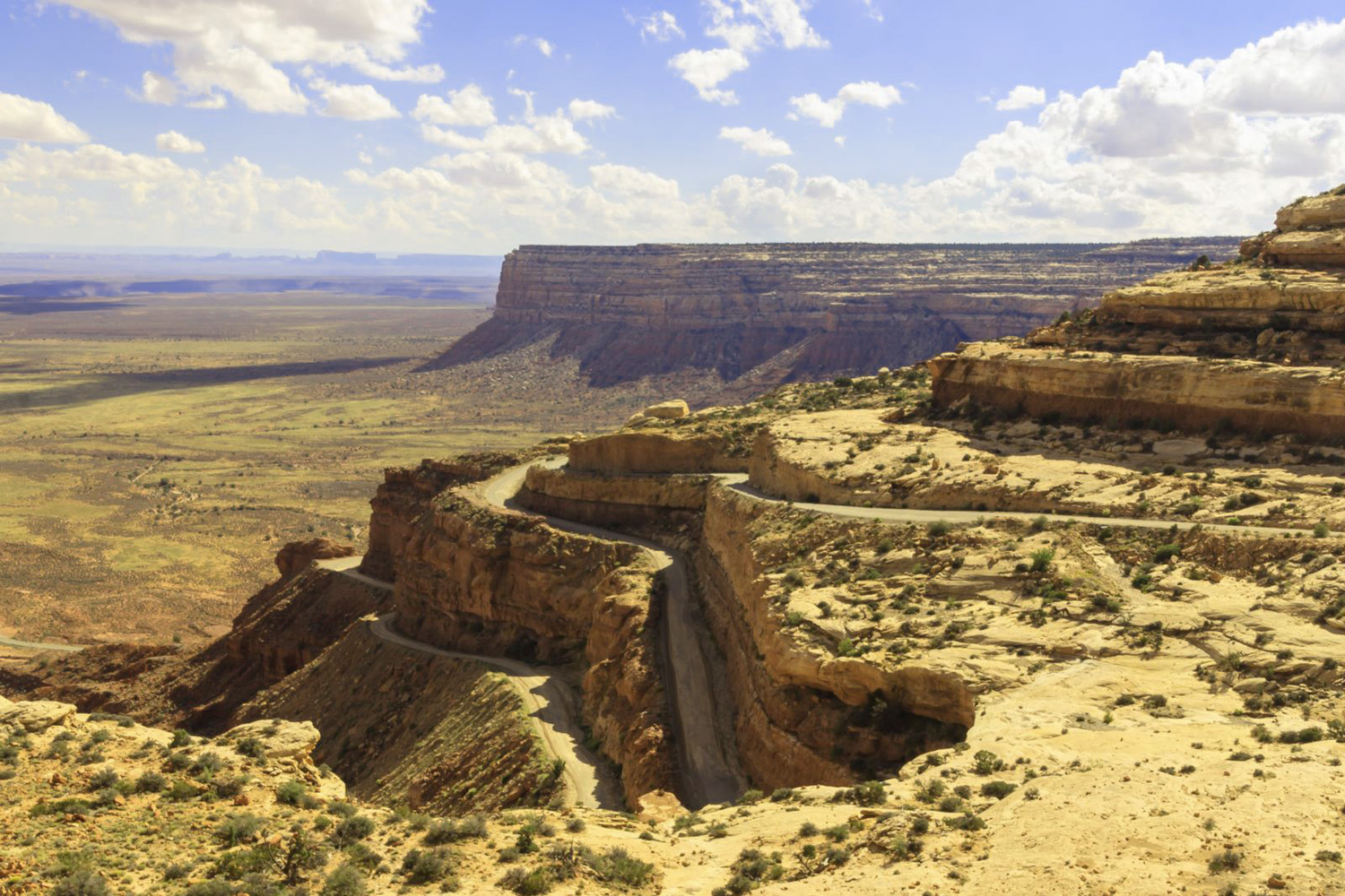
Switchbacks on Moki Dugway
May 18 2013 - 7:21 pm
May 18 2013 - 7:21 pm
76 / 91
On a switchback approaching White Rim Sandstone which caps the plateau beyond
May 23 2021 - 3:00 pm
May 23 2021 - 3:00 pm
77 / 91
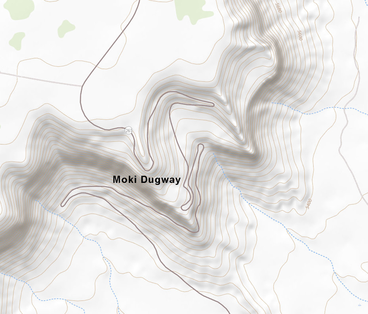
Topographic map of the Moki Dugway
78 / 91
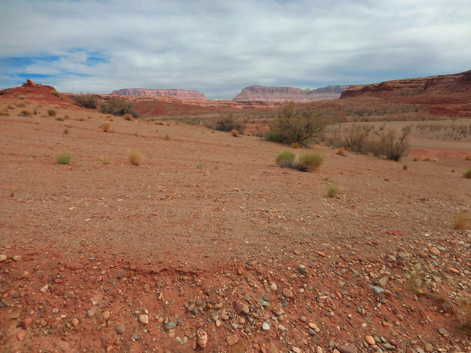
East limb of the Monument Uplift (Carizzo Mountains in Arizona in background)
May 23 2021 - 2:56 pm
May 23 2021 - 2:56 pm
79 / 91
Bear Ears rising above surface of Cedar Mesa leading 20 miles back to UT 95
May 23 2021 - 3:06 pm
May 23 2021 - 3:06 pm
80 / 91
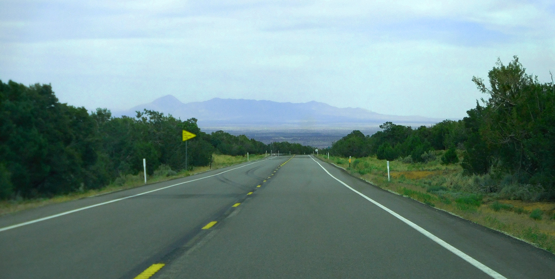
Back to UT 95 over Salvation Knoll (salvation to lost party of pioneers when they could see landmark Abajo (Blue) Mountains in the background)
Jun 07 2021 - 5:55 pm
Jun 07 2021 - 5:55 pm
81 / 91
UT 95 through the Comb Ridge Monocline (road cut through the Wingate-Entrada sandstones)
Jun 07 2021 - 6:01 pm
Jun 07 2021 - 6:01 pm
82 / 91
Different lighting on sections of Comb Ridge
Jun 07 2021 - 6:06 pm
Jun 07 2021 - 6:06 pm
83 / 91
Approaching the road cut through Wingate-Entrada sandstones
May 23 2021 - 5:14 pm
May 23 2021 - 5:14 pm
84 / 91
Road cut
May 23 2021 - 5:15 pm
May 23 2021 - 5:15 pm
85 / 91
Comb Ridge and view of UT 95 just driven
Jun 07 2021 - 6:13 pm
Jun 07 2021 - 6:13 pm
86 / 91
East side of Comb Ridge (dip slope of Entrada Sandstone)
Jun 07 2021 - 6:17 pm
Jun 07 2021 - 6:17 pm
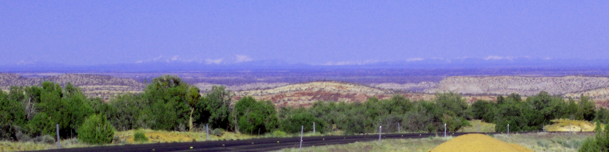
87 / 91
San Miguel and San Juan Mountains
May 23 2021 - 6:03 pm
May 23 2021 - 6:03 pm
88 / 91
(from left): Lone Cone, San Miguel Mountains, San Juan Mountains, La Plata Mountains
May 23 2021 - 5:08 pm
May 23 2021 - 5:08 pm
89 / 91
Tumbled block of Dakota Sandstone
May 23 2021 - 5:26 pm - 5:07 pm
May 23 2021 - 5:26 pm - 5:07 pm
90 / 91
Abajo Mountains from the south end of UT 95
May 23 2021 - 6:06 pm
May 23 2021 - 6:06 pm
91 / 91
South end of UT 95
US 191 4 miles south of Blanding
US 191 4 miles south of Blanding