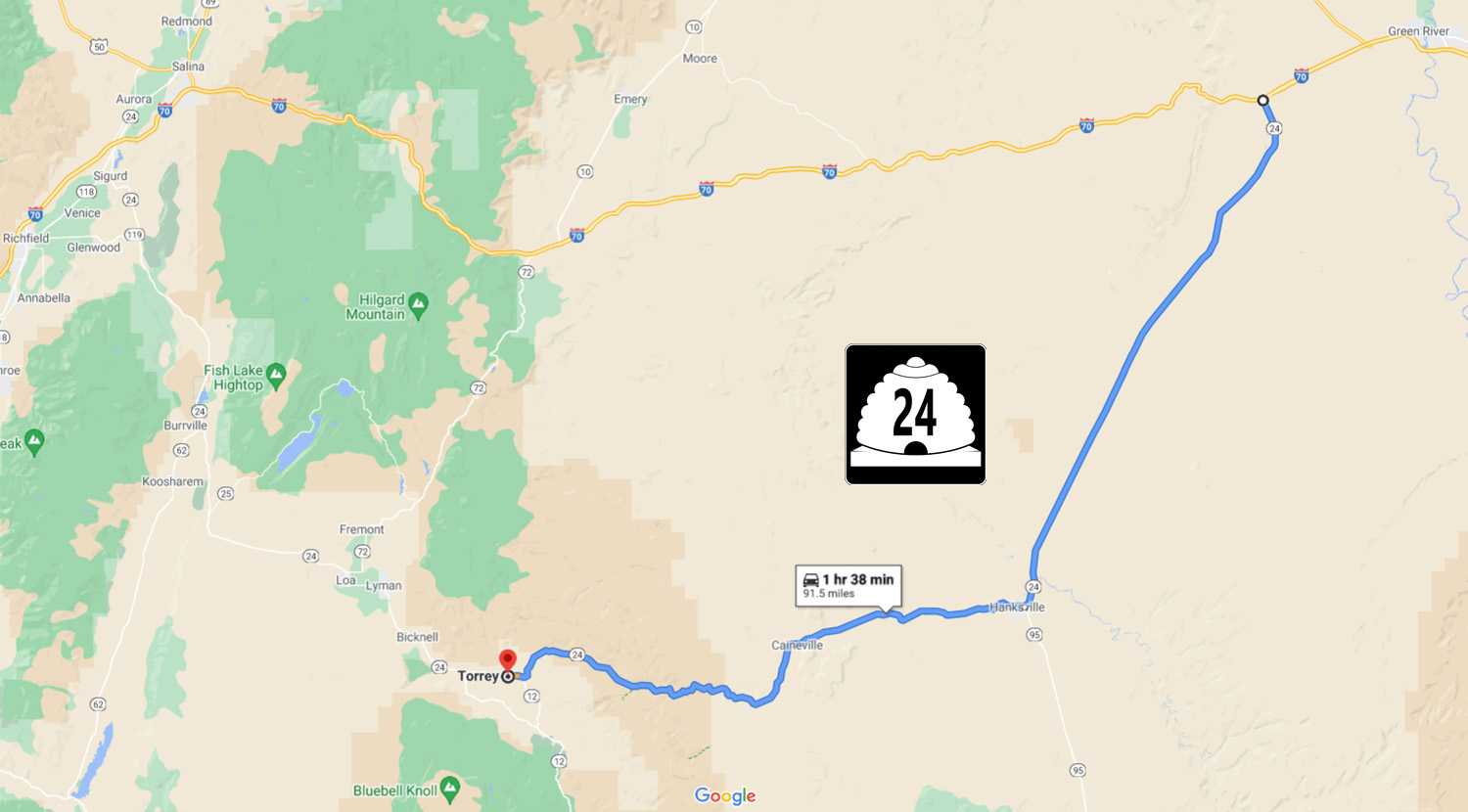
65 Slides - Utah State Road 24: Capitol Reef Country Scenic Byway
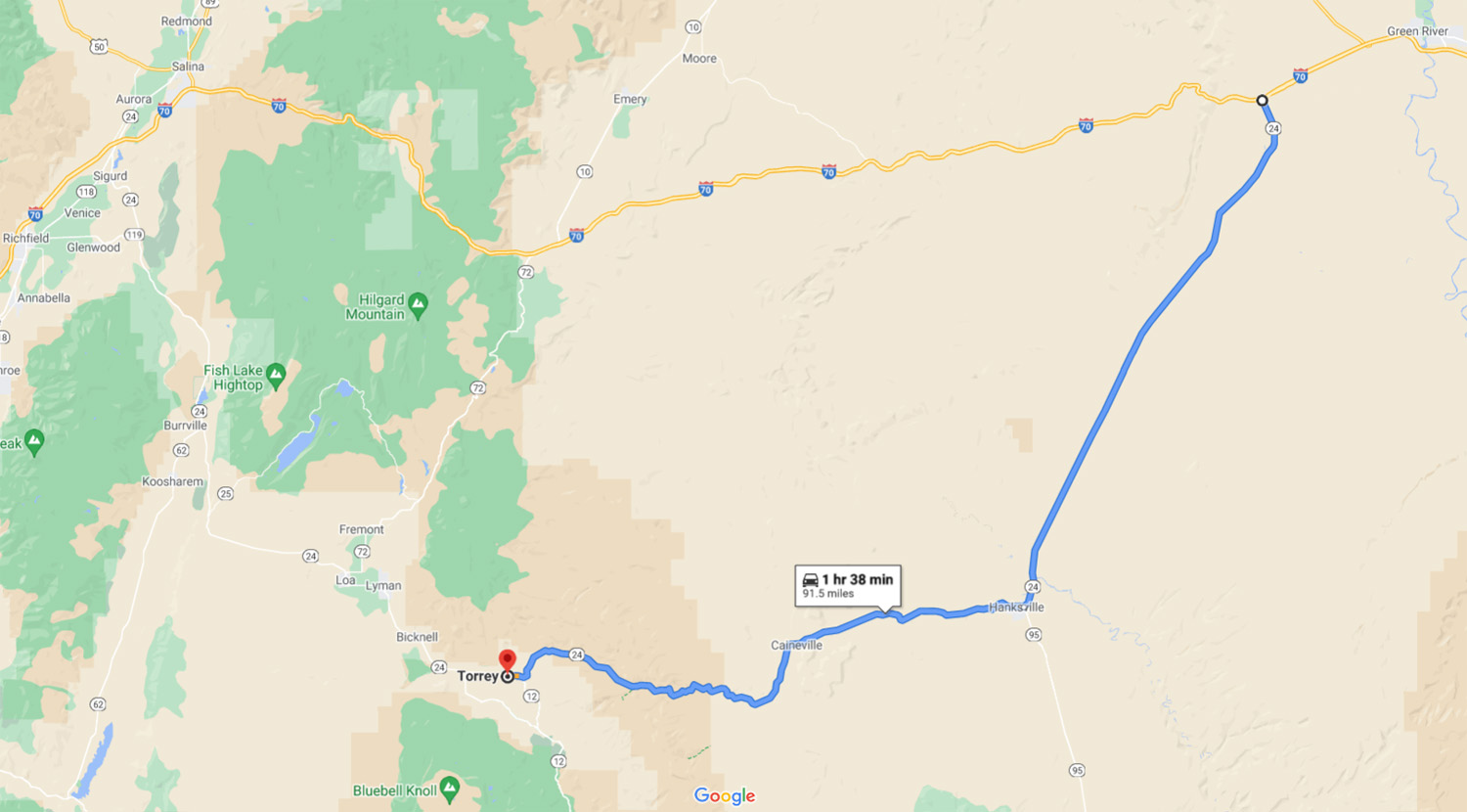
11 miles west of Green River UT, 92 miles to Torrey UT
Road Index or use your browser "back" arrow or function 10 second cycle: please choose another user-controlled 2 seconds 5 seconds 30 seconds 1 minute
1 / 65
2 / 65
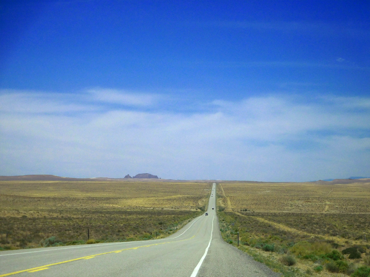
South end of UT 24, I 70 exit 147, 11 miles west of Green River UT
Jun 7 2021 - 12:30 pm
Jun 7 2021 - 12:30 pm
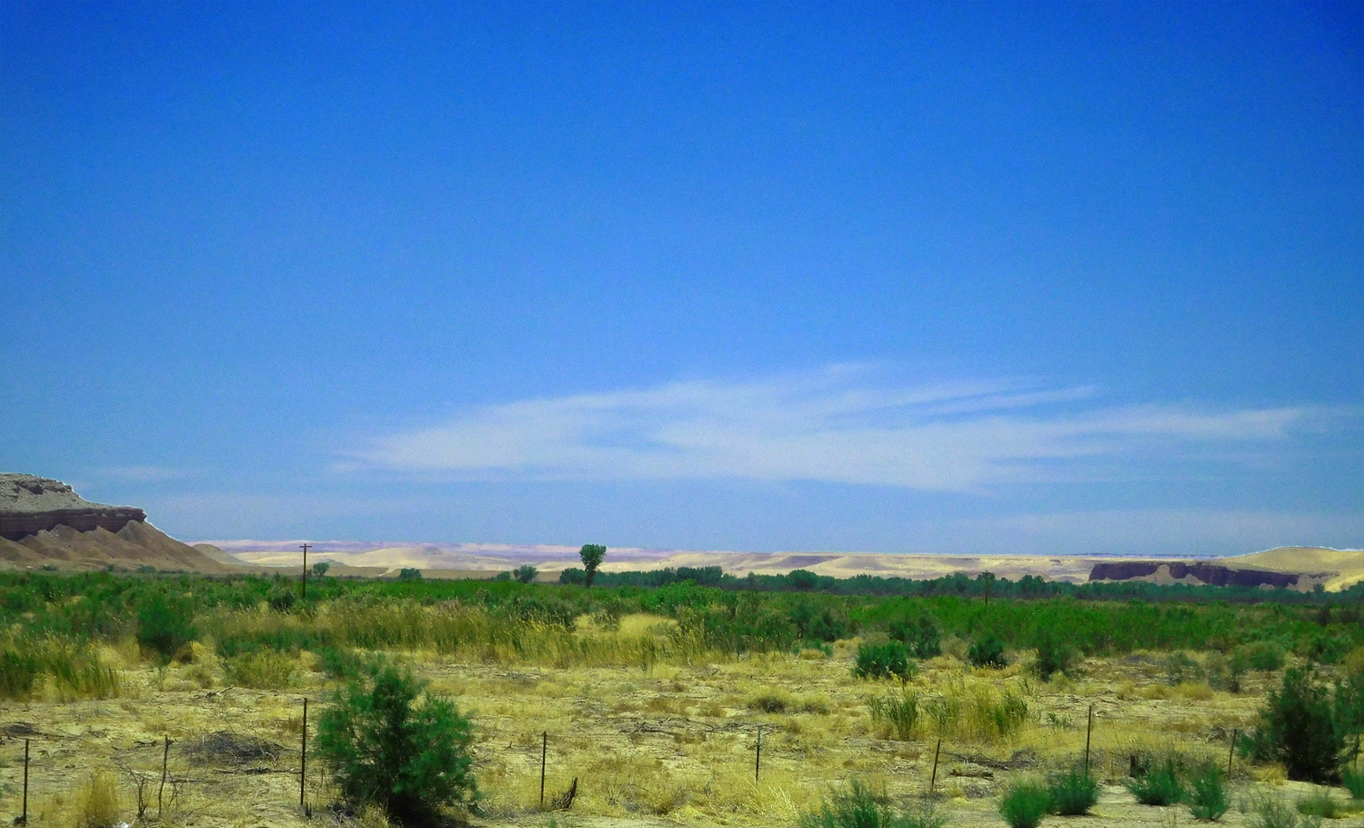
3 / 65
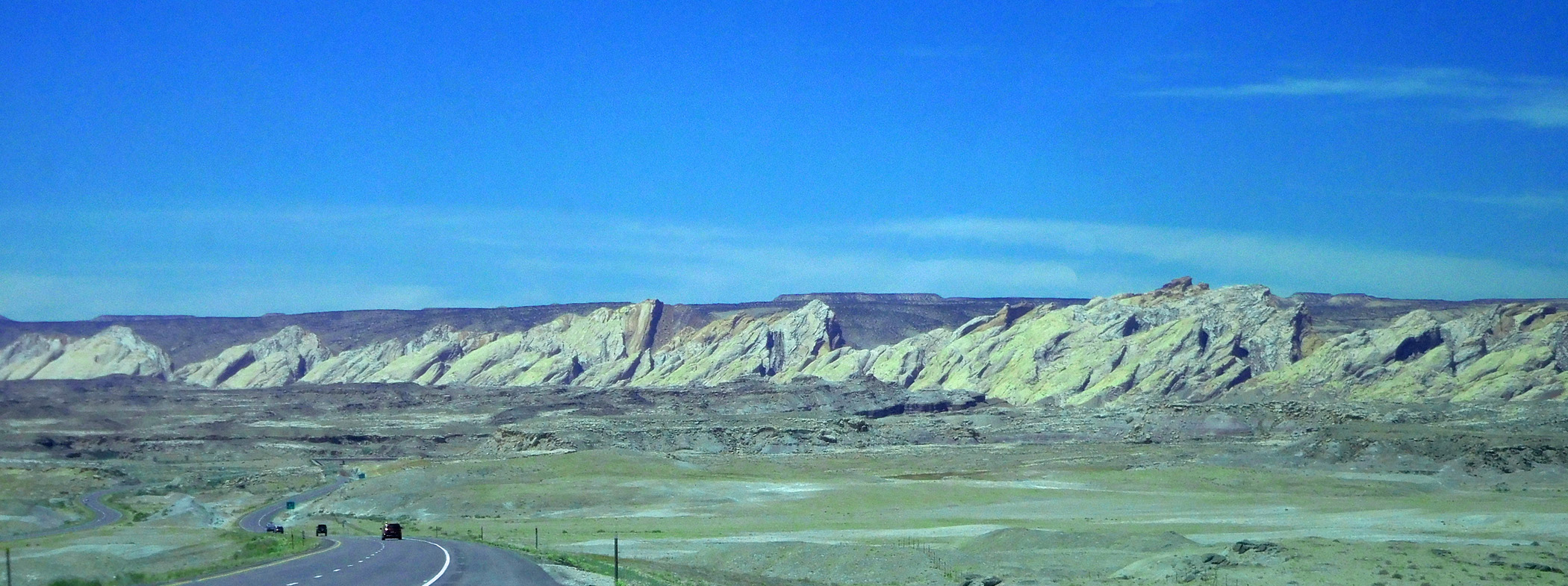
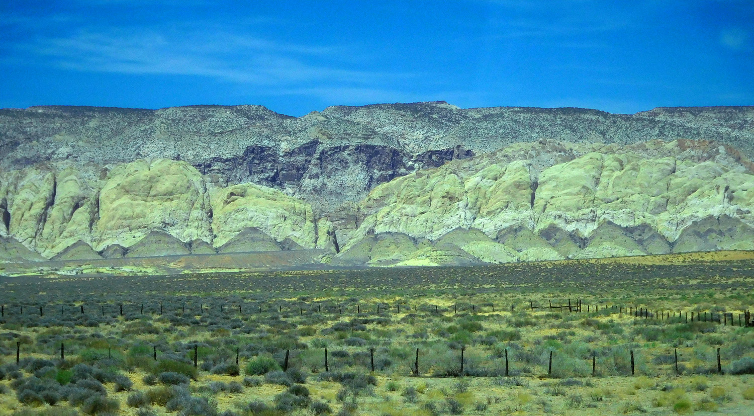
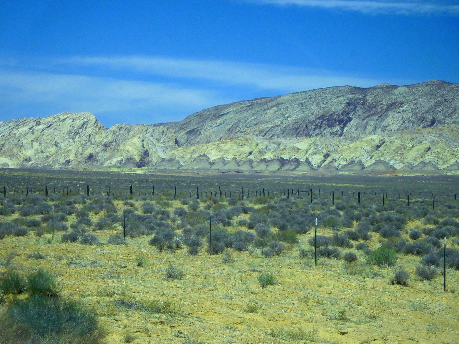
West flanking Jurassic Entrada Sandstone hogbacks of the San Rafael Swell all the way to Hanksville
Jun 7 2021 - 12:34 pm
Jun 7 2021 - 12:34 pm
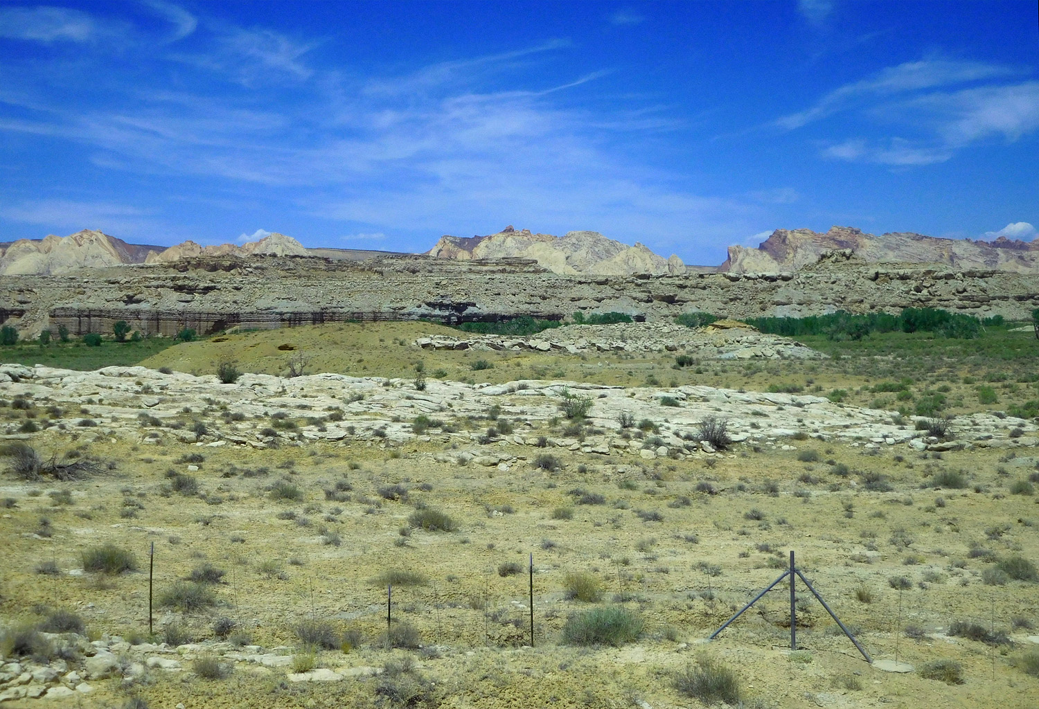
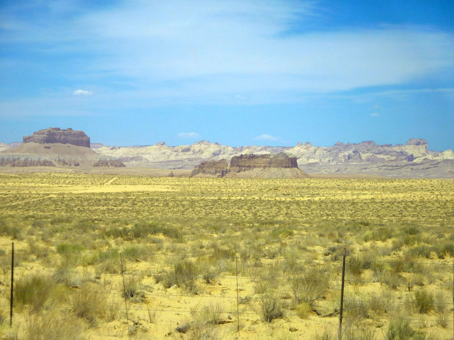
4 / 65
Flat Jurassic Kayenta capping Triassic Wingate cliffs above Permian Cutler in the center of the San Rafael Swell beyond the hogbacks
Jun 7 2021 - 12:34 pm
Jun 7 2021 - 12:34 pm
5 / 65
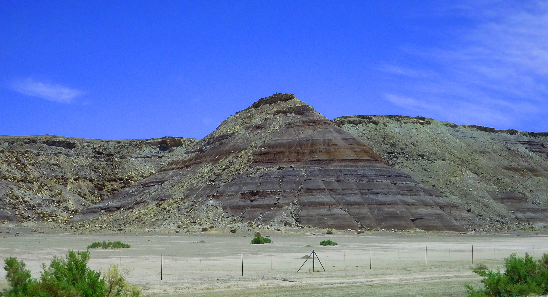
Varying colored Jurassic Morrison Formation
Jun 7 2021 - 12:37 pm
Jun 7 2021 - 12:37 pm
6 / 65
Capped by Cretaceous Dakota Sandstone (a common landscape pair on the Colorado Plateau)
Jun 7 2021 - 12:37 pm
Jun 7 2021 - 12:37 pm
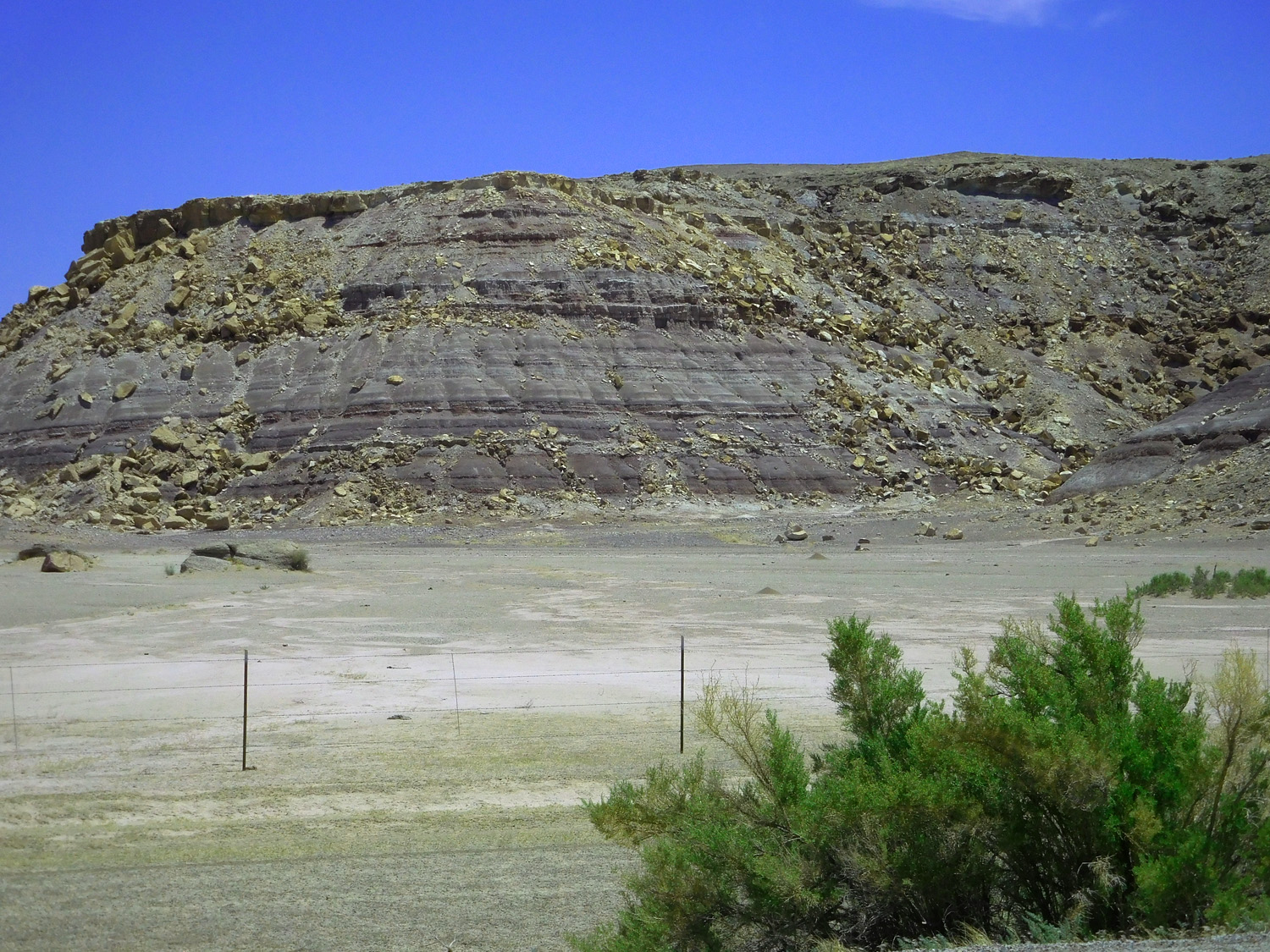
7 / 65
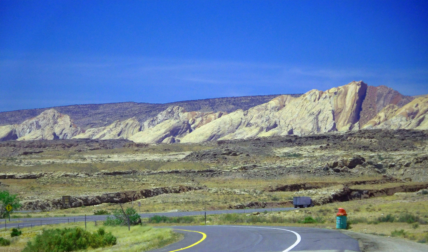
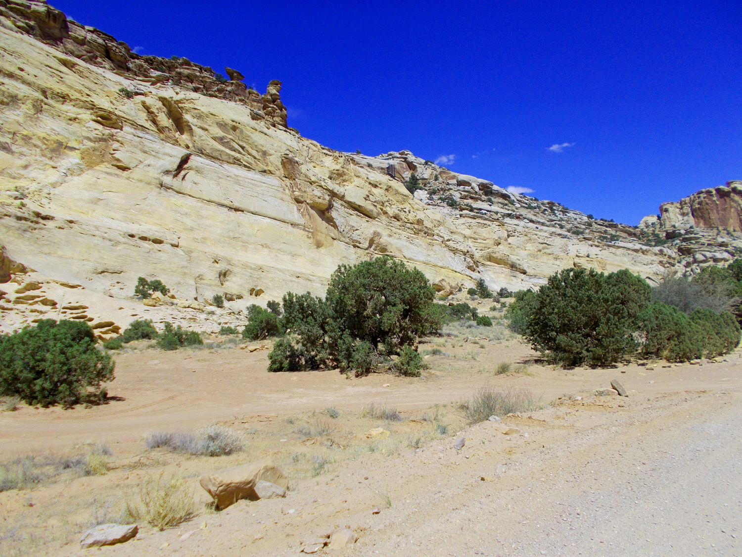
Entrada hogbacks rising above Entrada platform
Jun 7 2021 - 12:41 pm
Jun 7 2021 - 12:41 pm
8 / 65
San Rafael River and view eastward
Jun 7 2021 - 12:43 pm
Jun 7 2021 - 12:43 pm
9 / 65
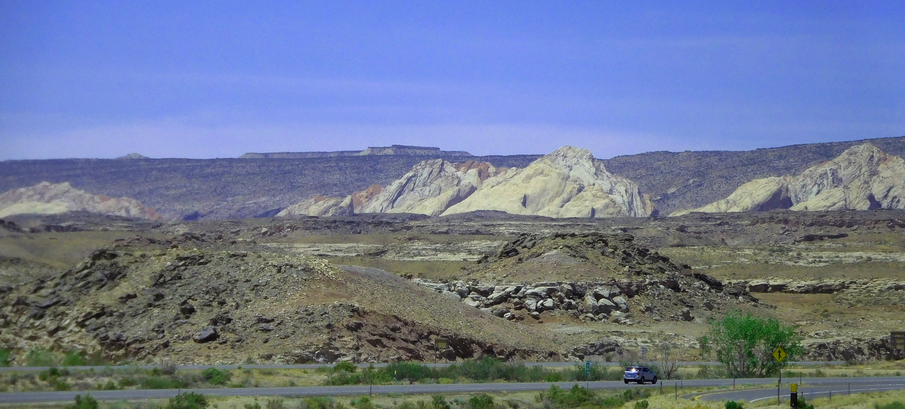
Morrison shales lapping onto Entrada hogbacks
Jun 7 2021 - 12:49 pm
Jun 7 2021 - 12:49 pm
10 / 65
Reminiscent of Dinosaur National Monument
Jun 7 2021 - 12:49 pm
Jun 7 2021 - 12:49 pm
11 / 65
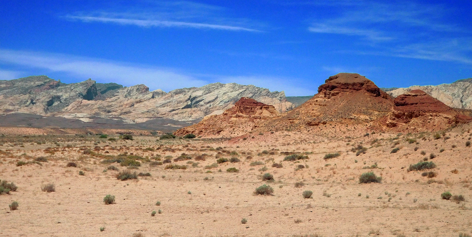
Red Morrison Formation overlying Entrada Sandstone, tilted in the background
Jun 7 2021 - 12:53 pm
Jun 7 2021 - 12:53 pm
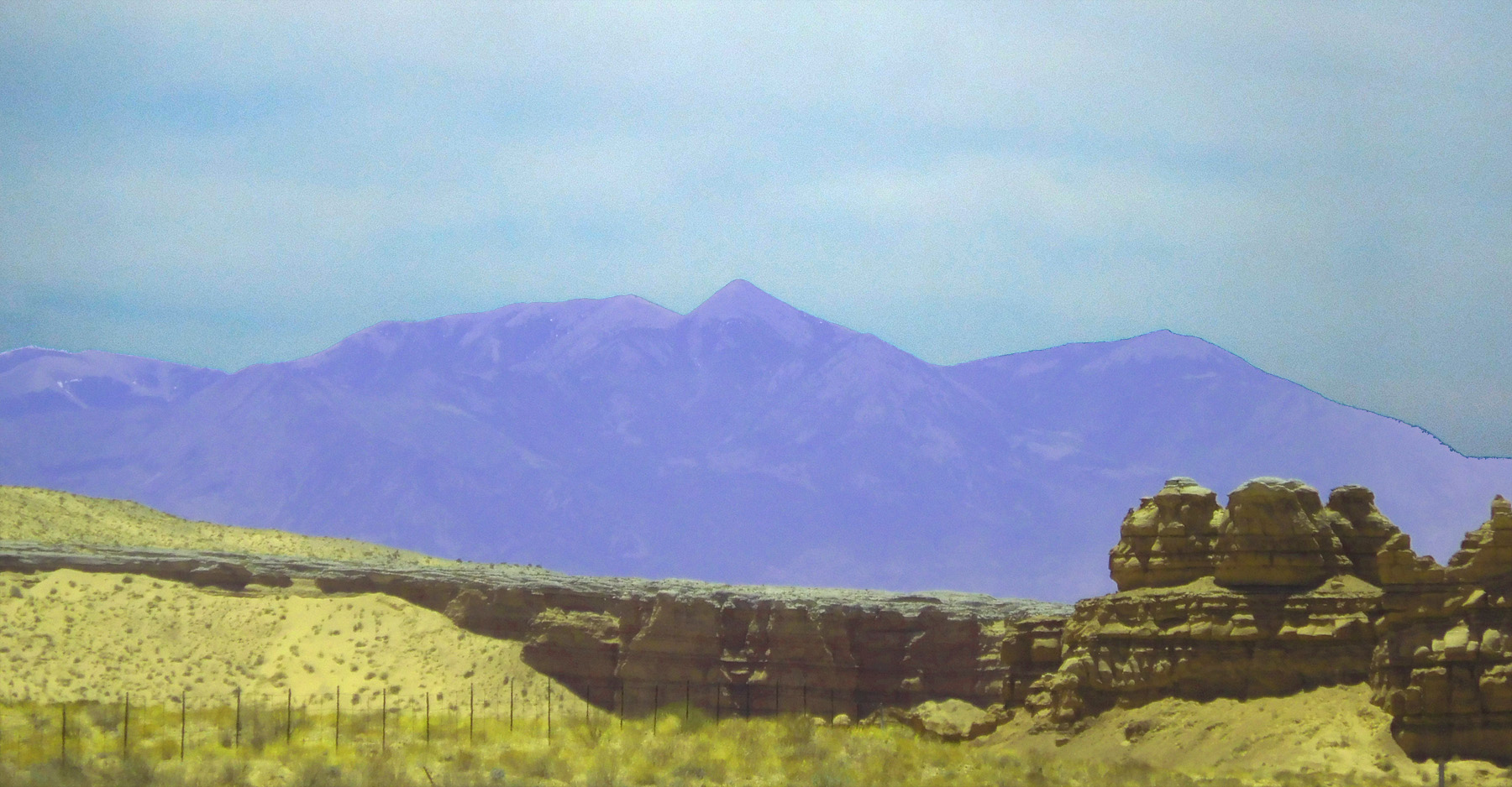
12 / 65
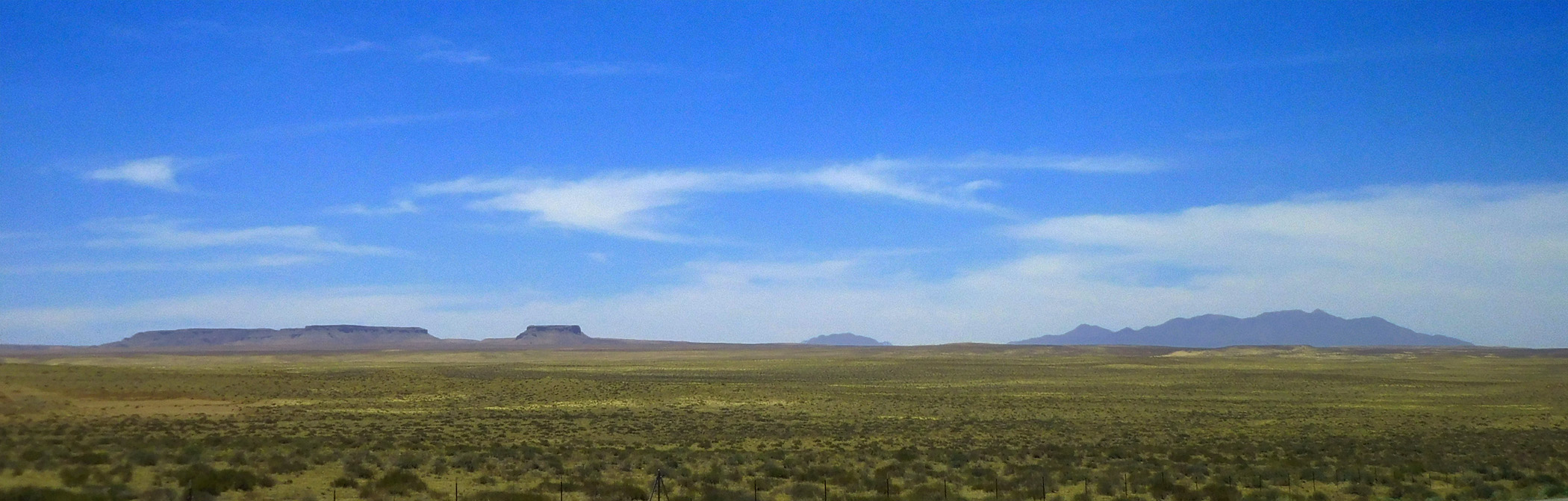
Henry Mountains and flat Dakota Sandstone capped mesas rising above the Entrada Sandstone (base level below the Dakota surface and above the Kayenta surface)
Jun 7 2021 - 12:58 pm
Jun 7 2021 - 12:58 pm
13 / 65
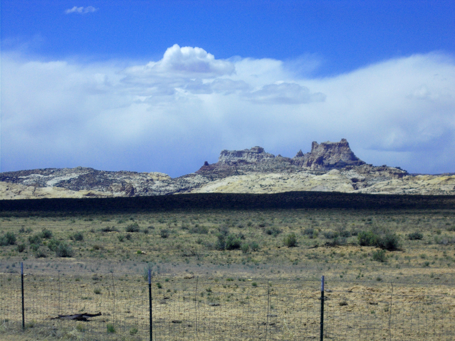
Strait Road, Wildcat Butte ahead (5,078', Morrison Formation)
Jun 7 2021 - 12:58 pm
Jun 7 2021 - 12:58 pm
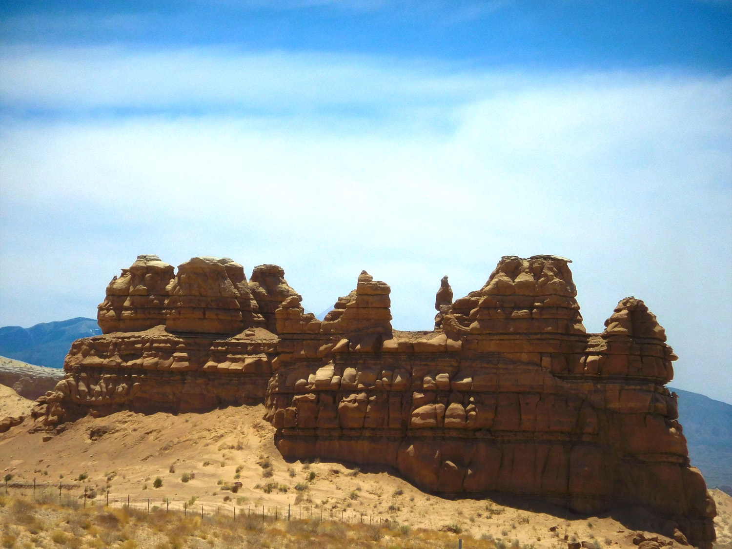
14 / 65
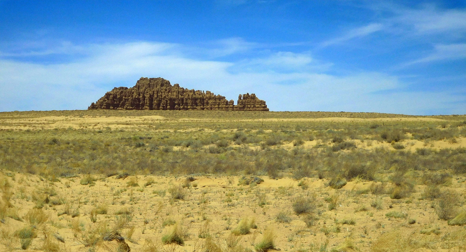
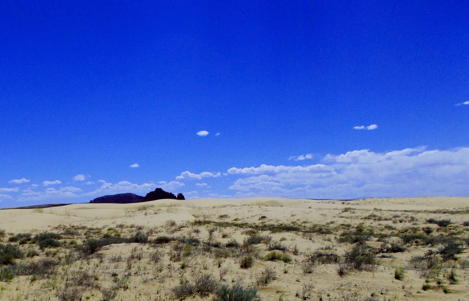
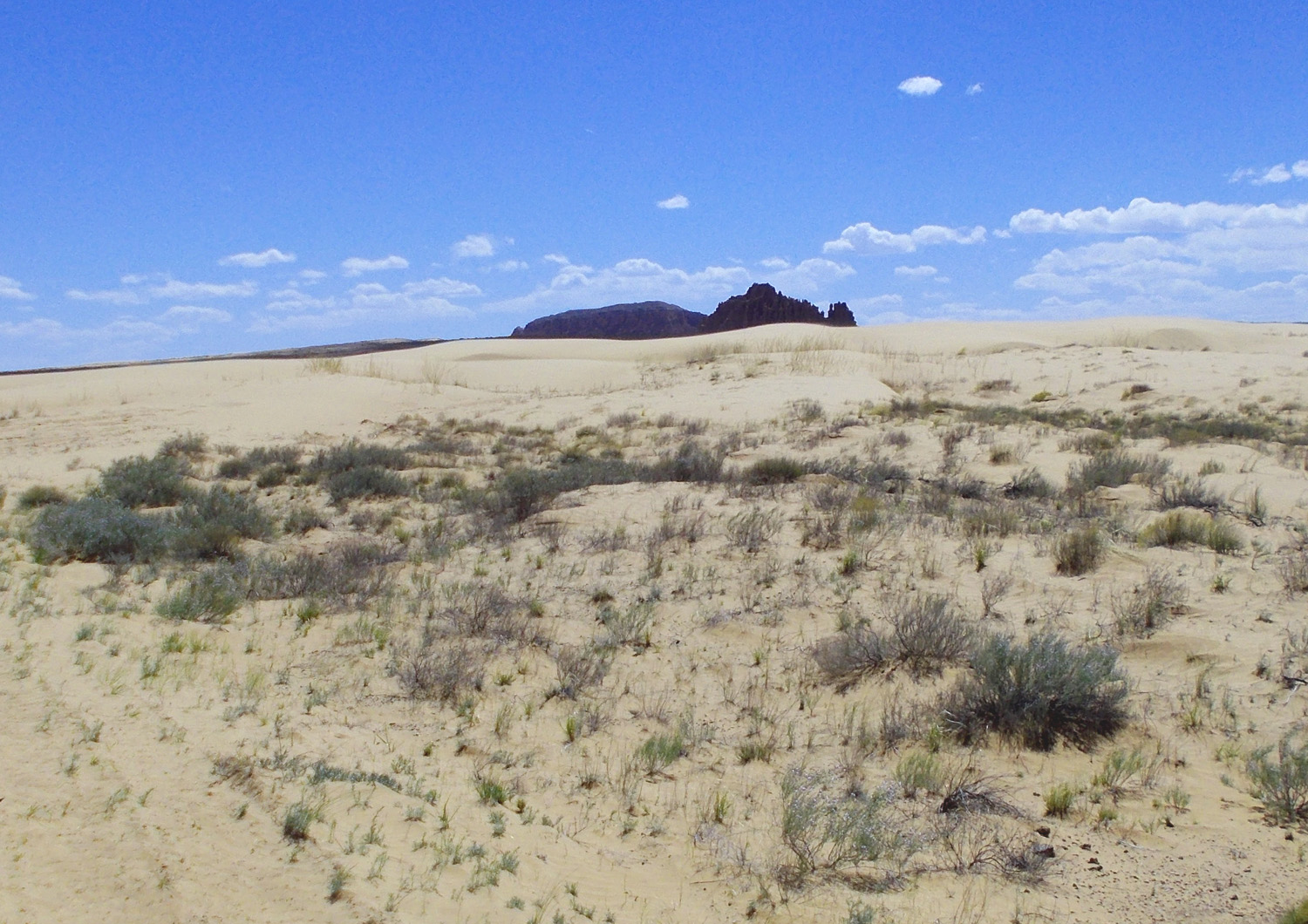
Wildcat Butte rising above sand dunes (over paleo-sand dunes of the Jurassic Entrada Sandstone)
Jun 7 2021 - 1:10 pm
Jun 7 2021 - 1:10 pm
15 / 65
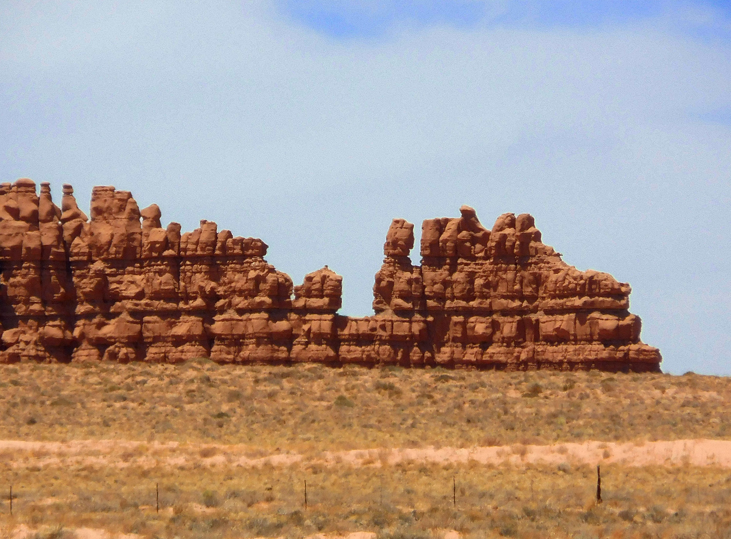
Telephoto of Wildcat Butte
Jun 7 2021 - 1:10 pm
Jun 7 2021 - 1:10 pm
16 / 65
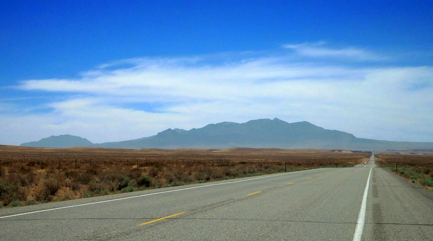
Henry Mountians from Mt. Ellen (11,522', right) to Mt. Hillers (10,723', left)
Jun 7 2021 - 1:15 pm
Jun 7 2021 - 1:15 pm
17 / 65
Deeper into the stratigraphic section, from Triassic Moenkopi Formation to Jurassic Wingate Sandstone
Jun 7 2021 - 1:16 pm
Jun 7 2021 - 1:16 pm
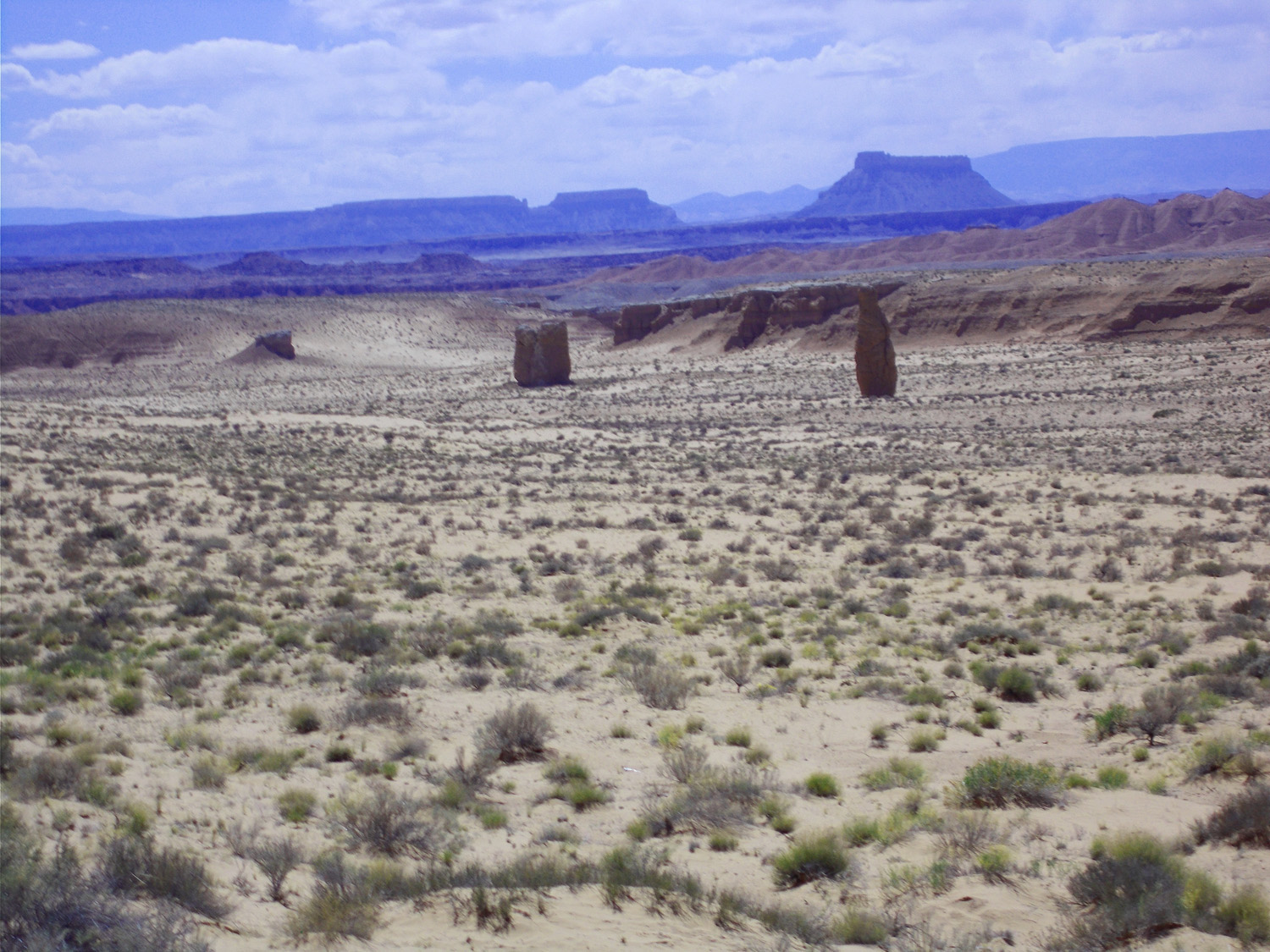
18 / 65
Henry Mountains over Jurassic Morrison shales covered by semi-active sand dunes
Jun 7 2021 - 1:23 pm
Jun 7 2021 - 1:23 pm
19 / 65
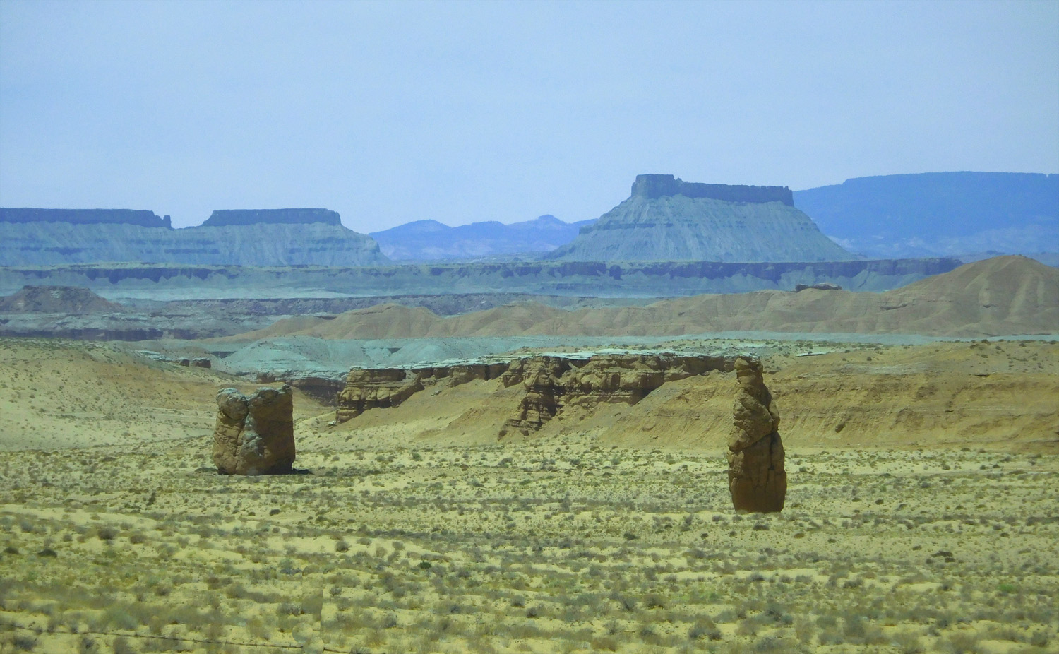
Telephoto of strange shapes of Morrison Formation
Jun 7 2021 - 1:24 pm
Jun 7 2021 - 1:24 pm
20 / 65
Entrada Sandstone (ancient sand dunes)
May 7 2018 - 2:15 pm
May 7 2018 - 2:15 pm
21 / 65
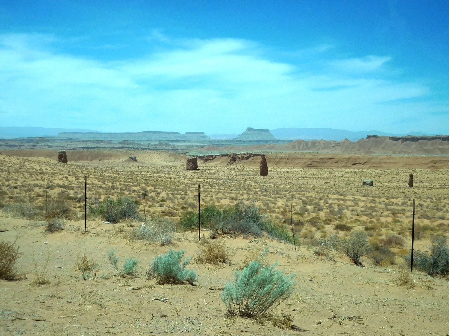
Wildcat Butte over active sand dunes over fosslized sand dunes of Entrada Sandstone
May 7 2018 - 2:24 pm
May 7 2018 - 2:24 pm
22 / 65
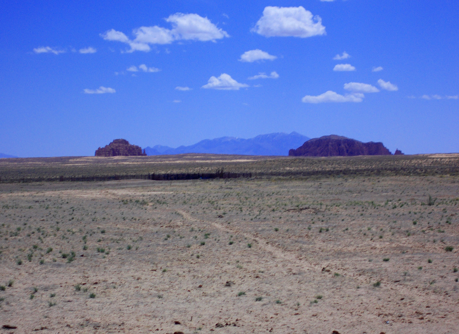
Henry Mountains over Morrison Formation buttes
May 7 2018 - 1:30 pm
May 7 2018 - 1:30 pm
23 / 65
Strange shaped erosional remnants
May 7 2018 - 1:30 pm
May 7 2018 - 1:30 pm
24 / 65
South end of San Rafeal Swell near Hanksville, Boulder Mountain in the background
May 7 2018 - 1:35 pm
May 7 2018 - 1:35 pm
25 / 65
The road to Goblin Valley State Park. The park wanted 10$ for a drive through, way too much
May 7 2018 - 1:38 pm
May 7 2018 - 1:38 pm
26 / 65
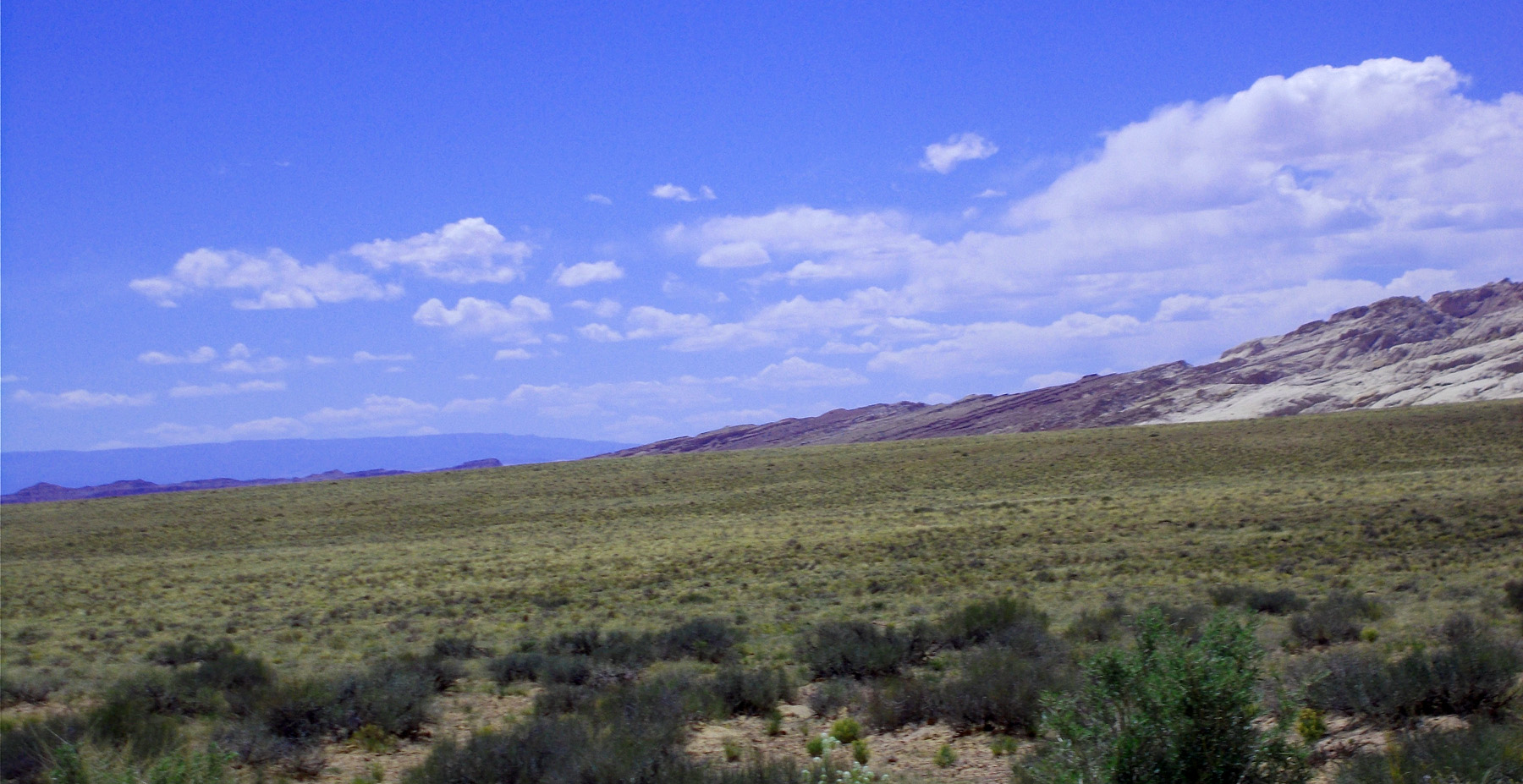
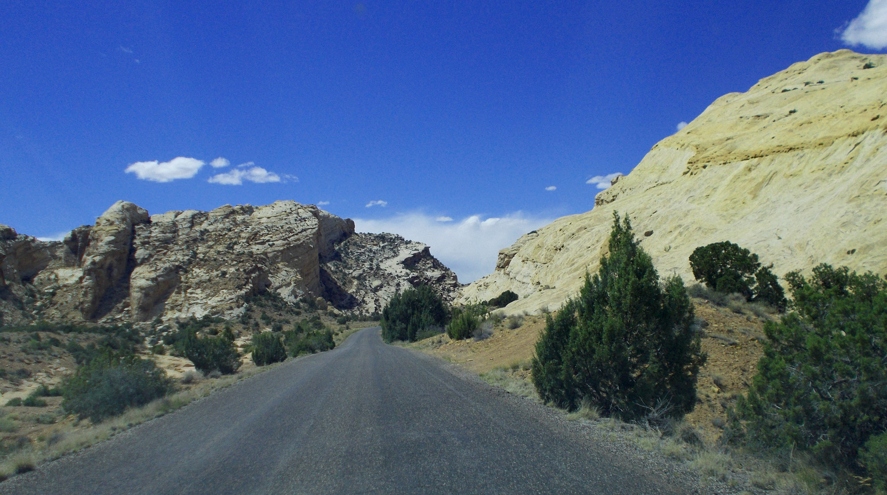
Continued through the hogbacks riming the San Rafeal Swell, here more like cuestas (lower tilting angles than hogbacks)
May 7 2018 - 1:41 pm
May 7 2018 - 1:41 pm
27 / 65
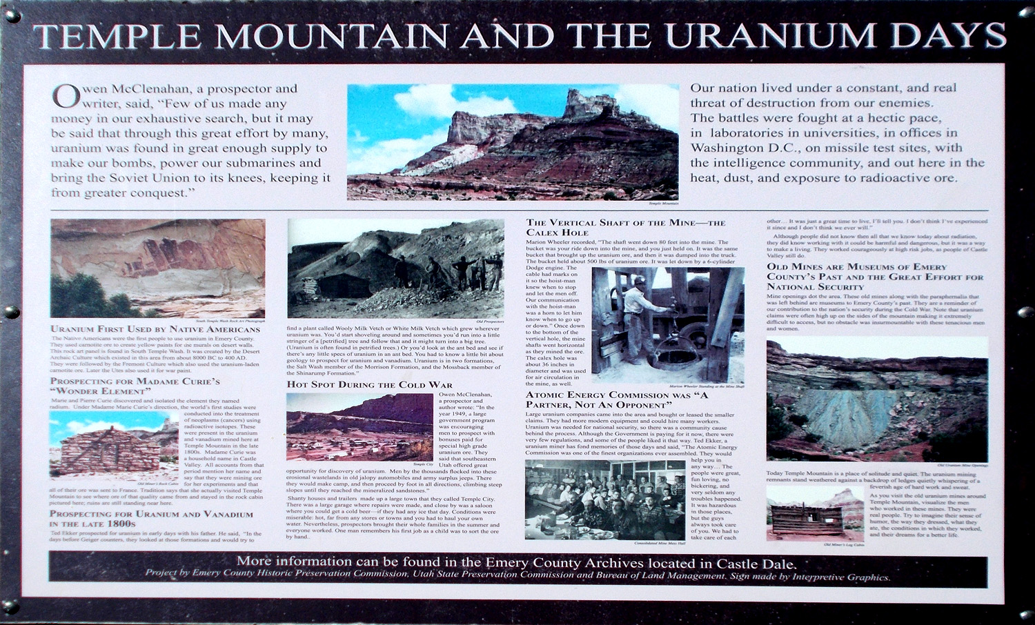
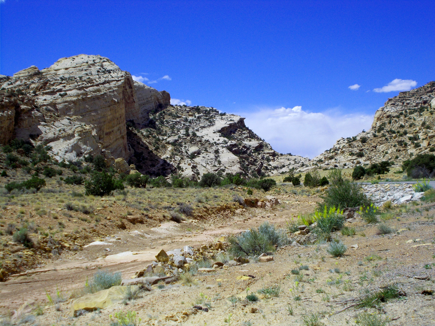
Uranium Boom
May 7 2018 - 1:48 pm
May 7 2018 - 1:48 pm
28 / 65
Uranium mines, (same view as center picture on the previous slide)
May 7 2018 - 1:49 pm
May 7 2018 - 1:49 pm
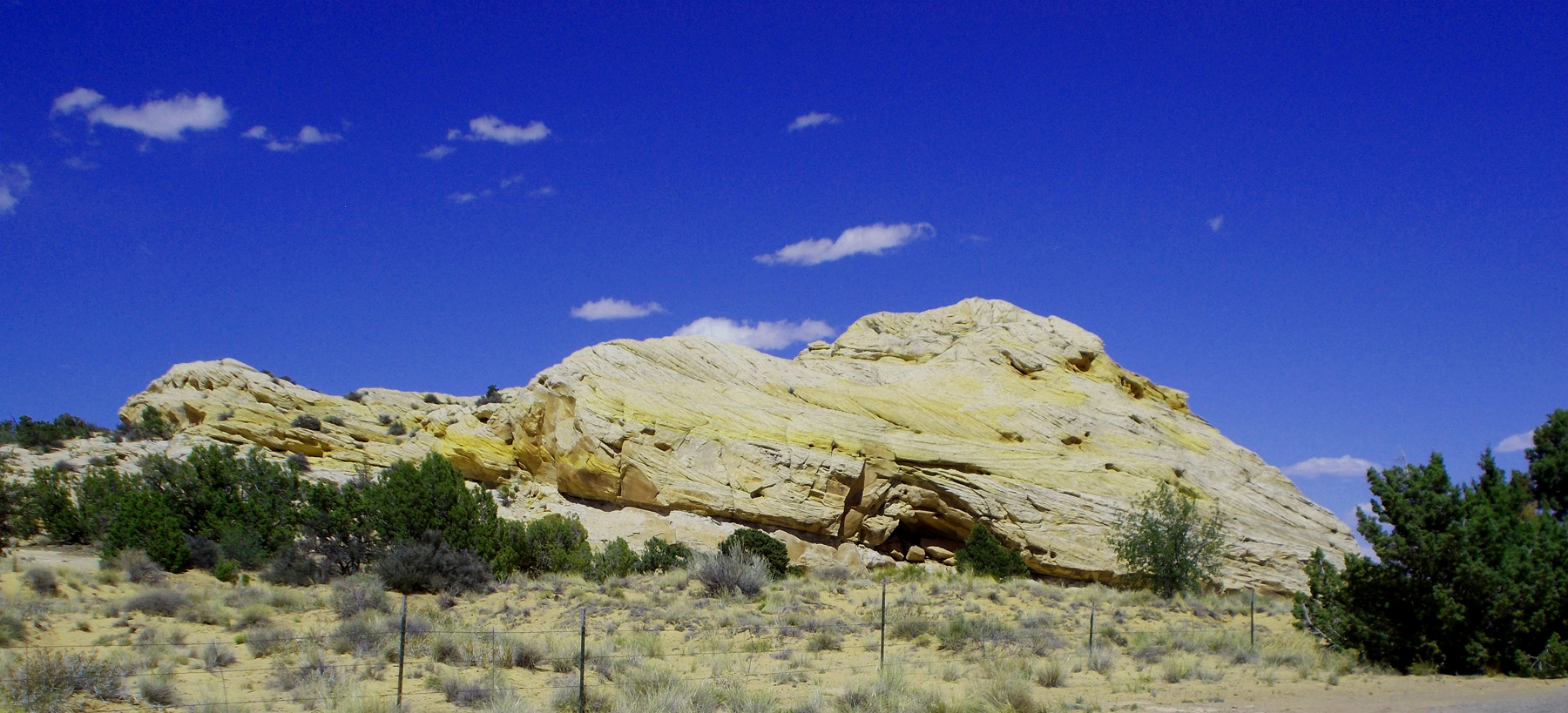
29 / 65
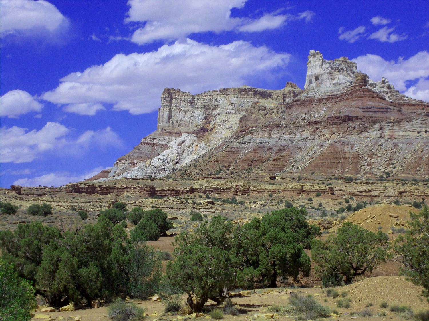
Entrada cuesta scarp slope
May 7 2018 - 2:04 pm
May 7 2018 - 2:04 pm
30 / 65

Flat underlying Wingate Sandstone
May 7 2018 - 2:05 pm
May 7 2018 - 2:05 pm
31 / 65

Back to UT 24
32 / 65
Active sand dunes below Wildcat Butte
May 7 2018 - 2:24 pm
May 7 2018 - 2:24 pm
33 / 65
Siltstone monuments of the Permian Cutler Formation
May 7 2018 - 2:37 pm
May 7 2018 - 2:37 pm
34 / 65
Another season
Jun 7 2021 - 1:25 pm
Jun 7 2021 - 1:25 pm
35 / 65
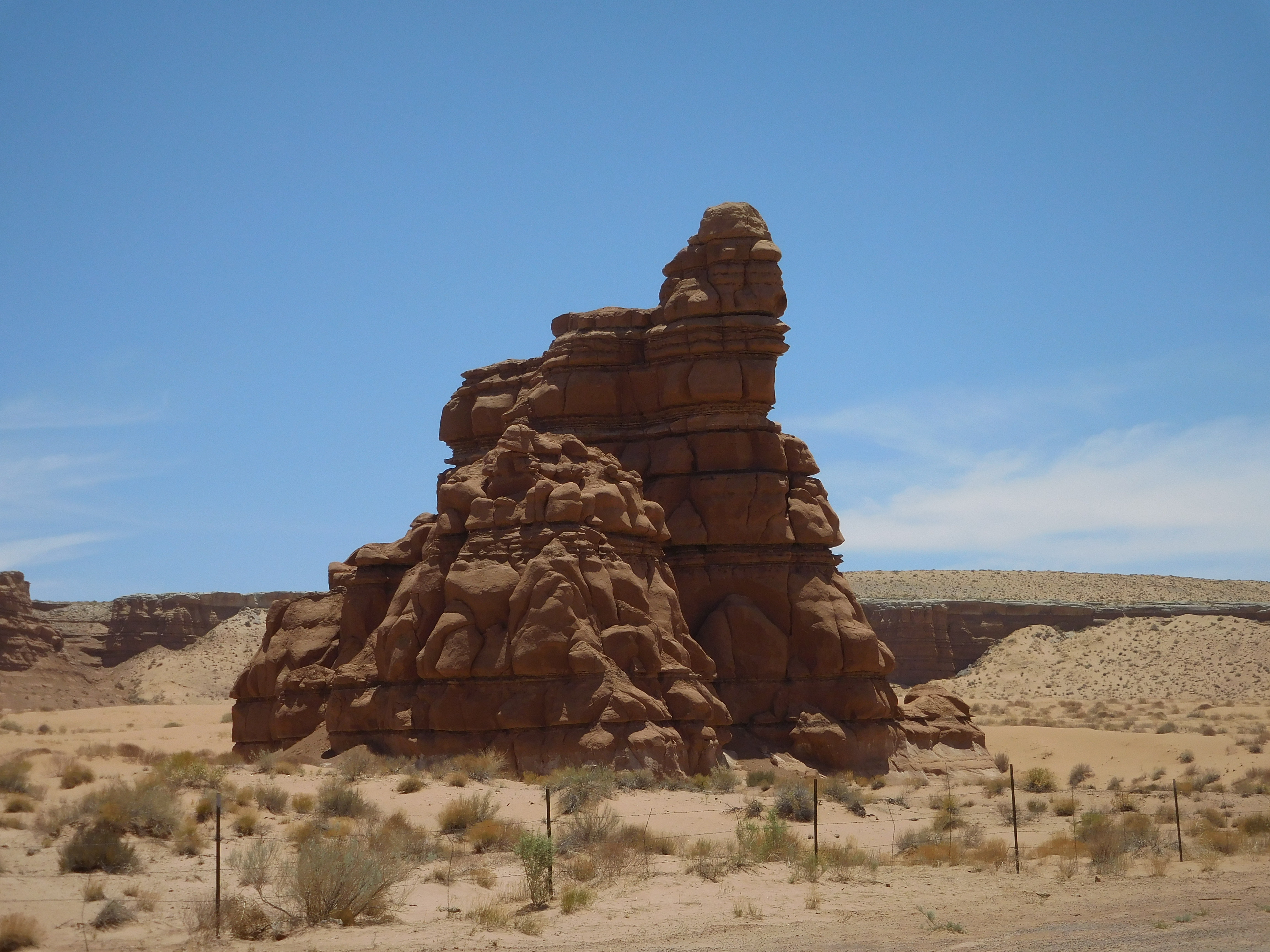
Telephoto of small Permian monuments (note the thin Permian White Rim Sandstone over the red rocks)
Jun 7 2021 - 1:25 pm
Jun 7 2021 - 1:25 pm
36 / 65
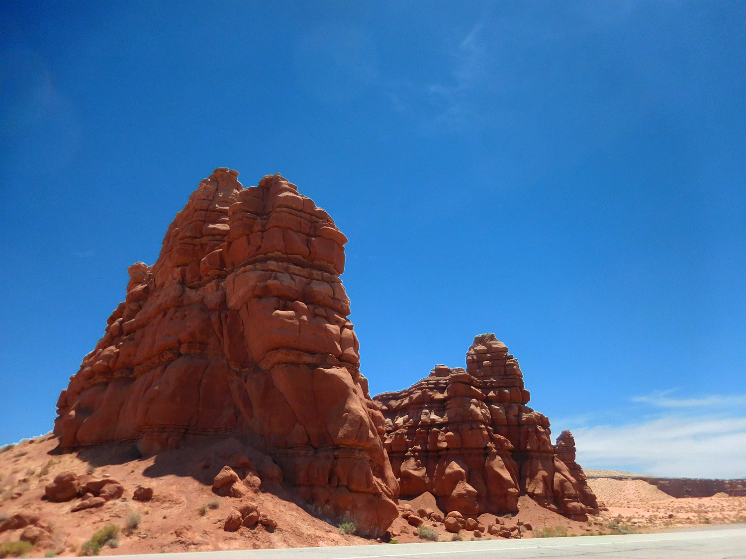
Permian Cutler Formation eroded in strange shapes
Jun 7 2021 - 1:25 pm
Jun 7 2021 - 1:25 pm
37 / 65
Another view
Jun 7 2021 - 1:27 pm
Jun 7 2021 - 1:27 pm
38 / 65
Irrigated Dirty Devil River Valley
Jun 7 2021 - 1:31 pm
Jun 7 2021 - 1:31 pm
39 / 65
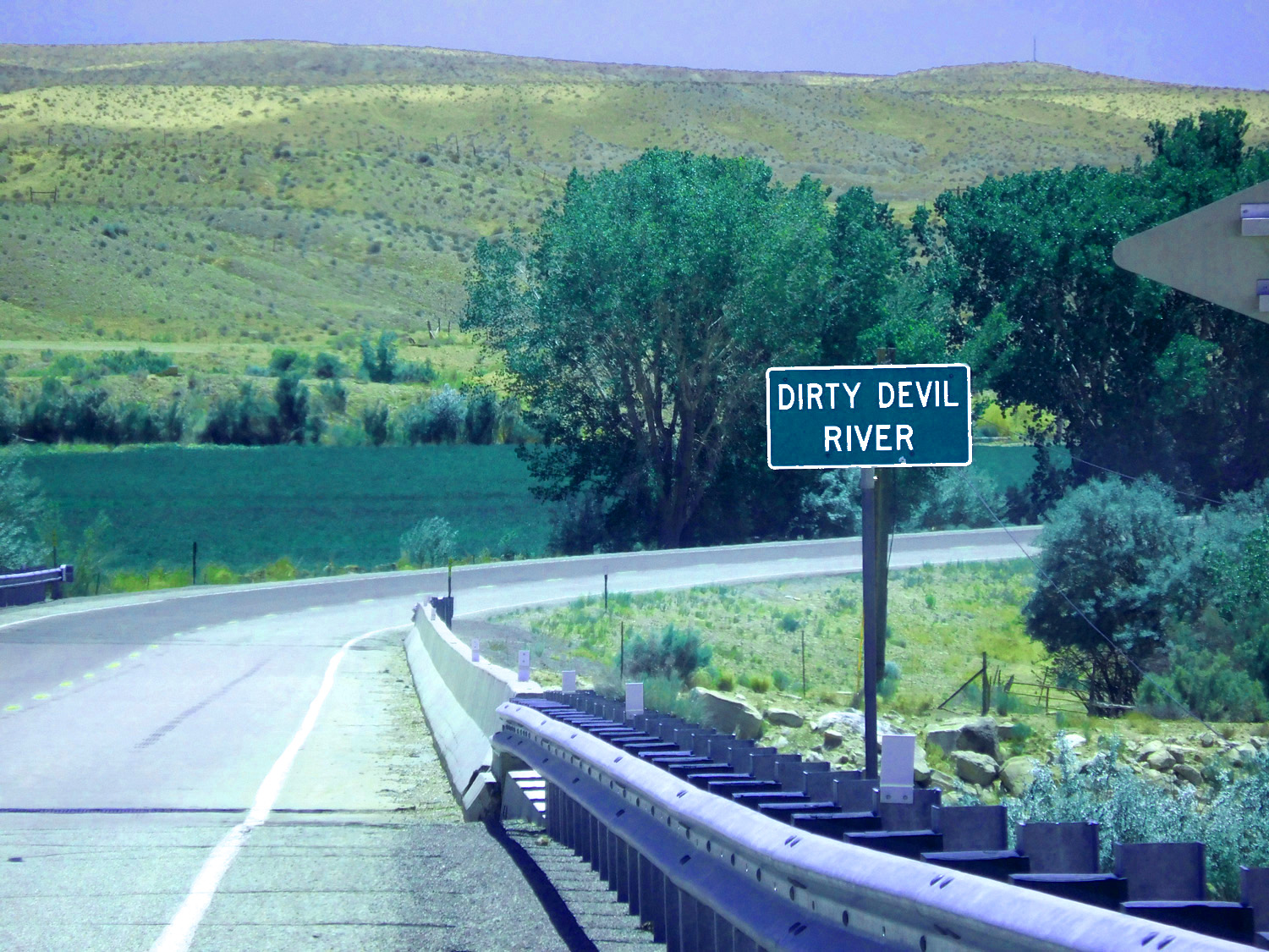
Dirty Devil River
Jun 7 2021 - 1:32 pm
Jun 7 2021 - 1:32 pm
40 / 65
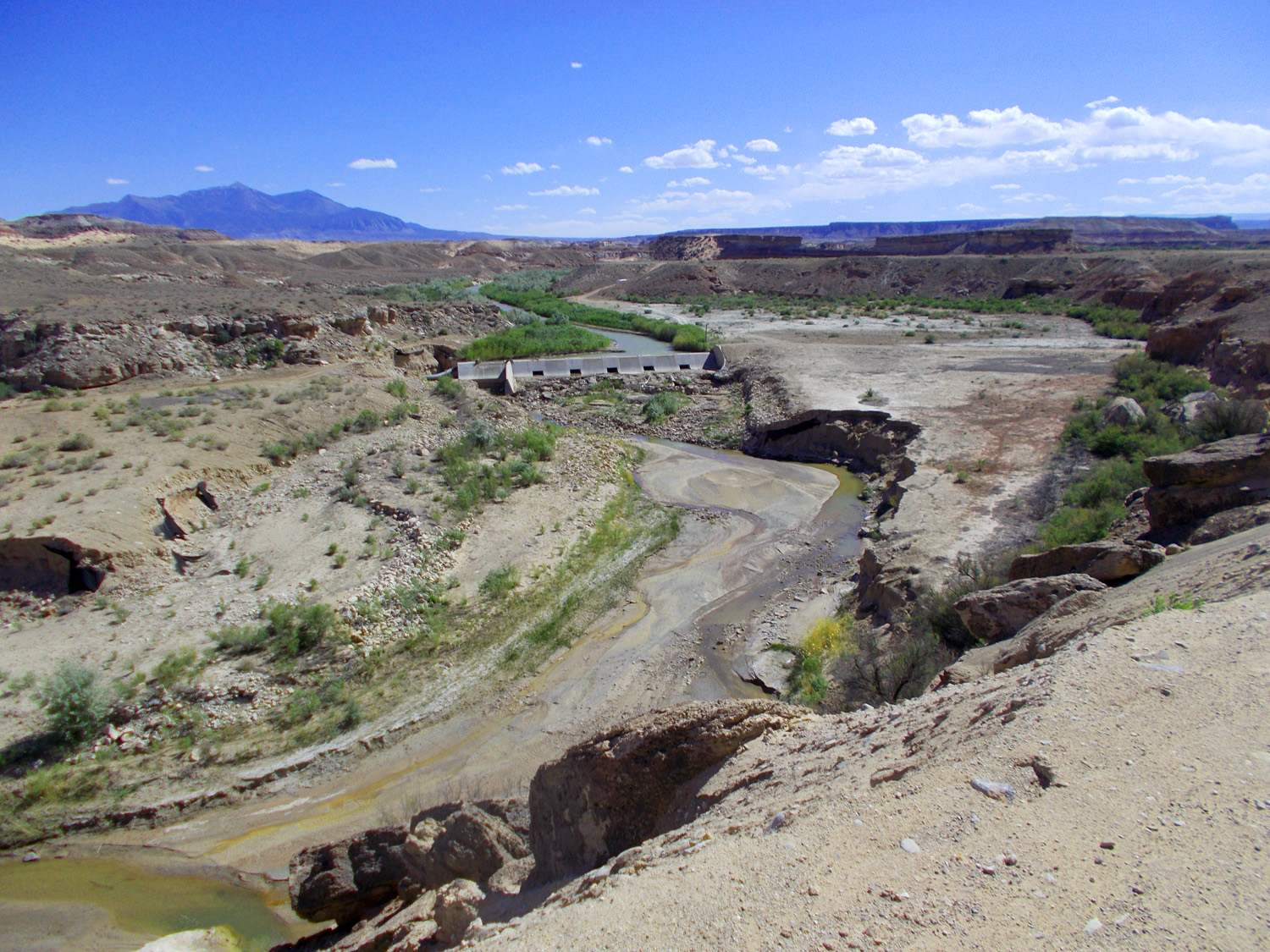
Washed out Wier Dam on Sandy Creek (flash floods wreak havoc on dams in the region)
May 7 2018 - 3:12 pm
May 7 2018 - 3:12 pm
41 / 65
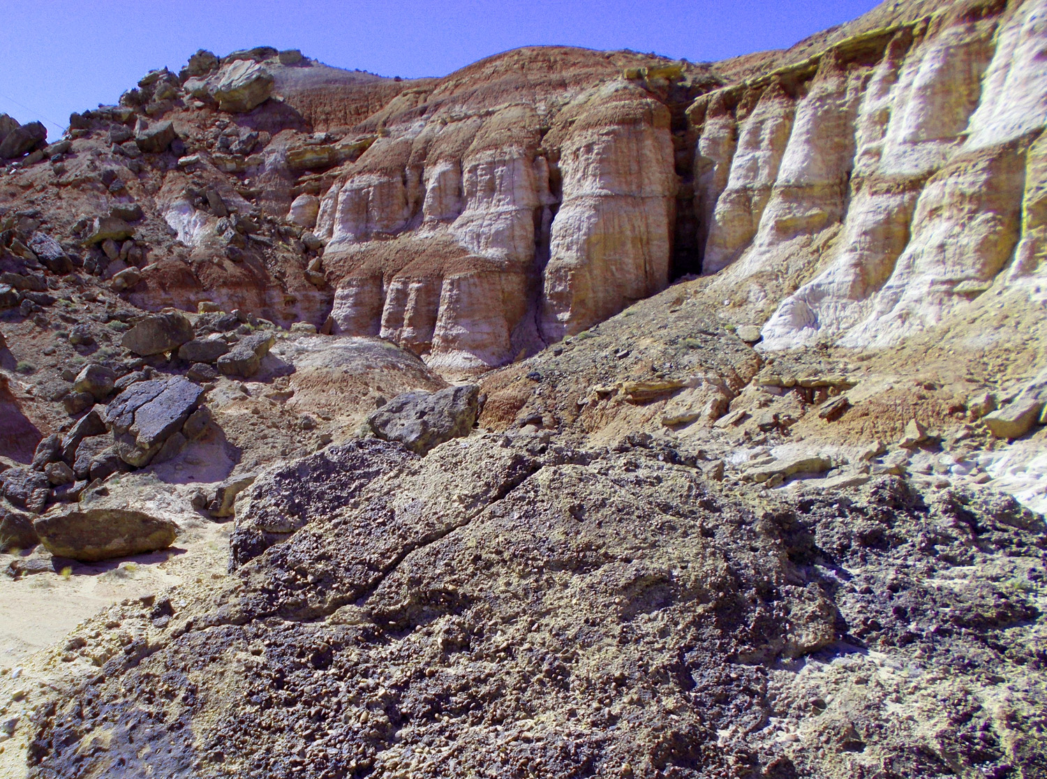
Triassic Shinarump Conglomerate capping Permian Cutler Formation
May 7 2018 - 3:13 pm
May 7 2018 - 3:13 pm
42 / 65
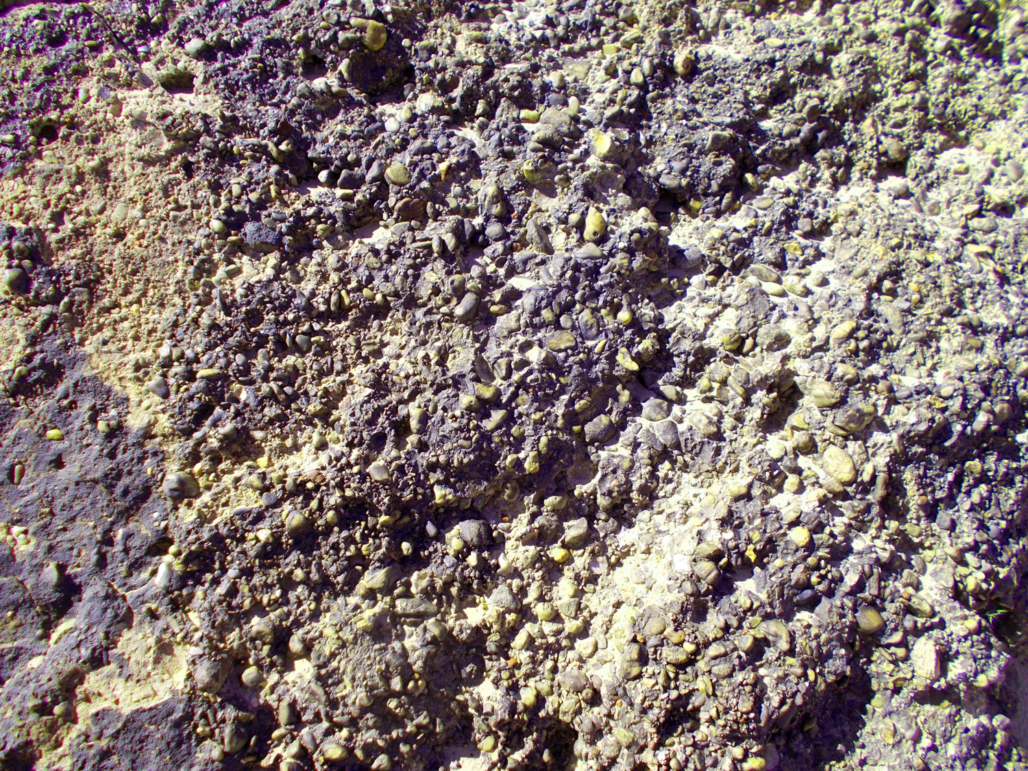
Close up of the conglomerate (distinctive marker bed thoughout Colorado Plateau and Southern Rocky Mountains)
May 7 2018 - 3:13 pm
May 7 2018 - 3:13 pm
43 / 65
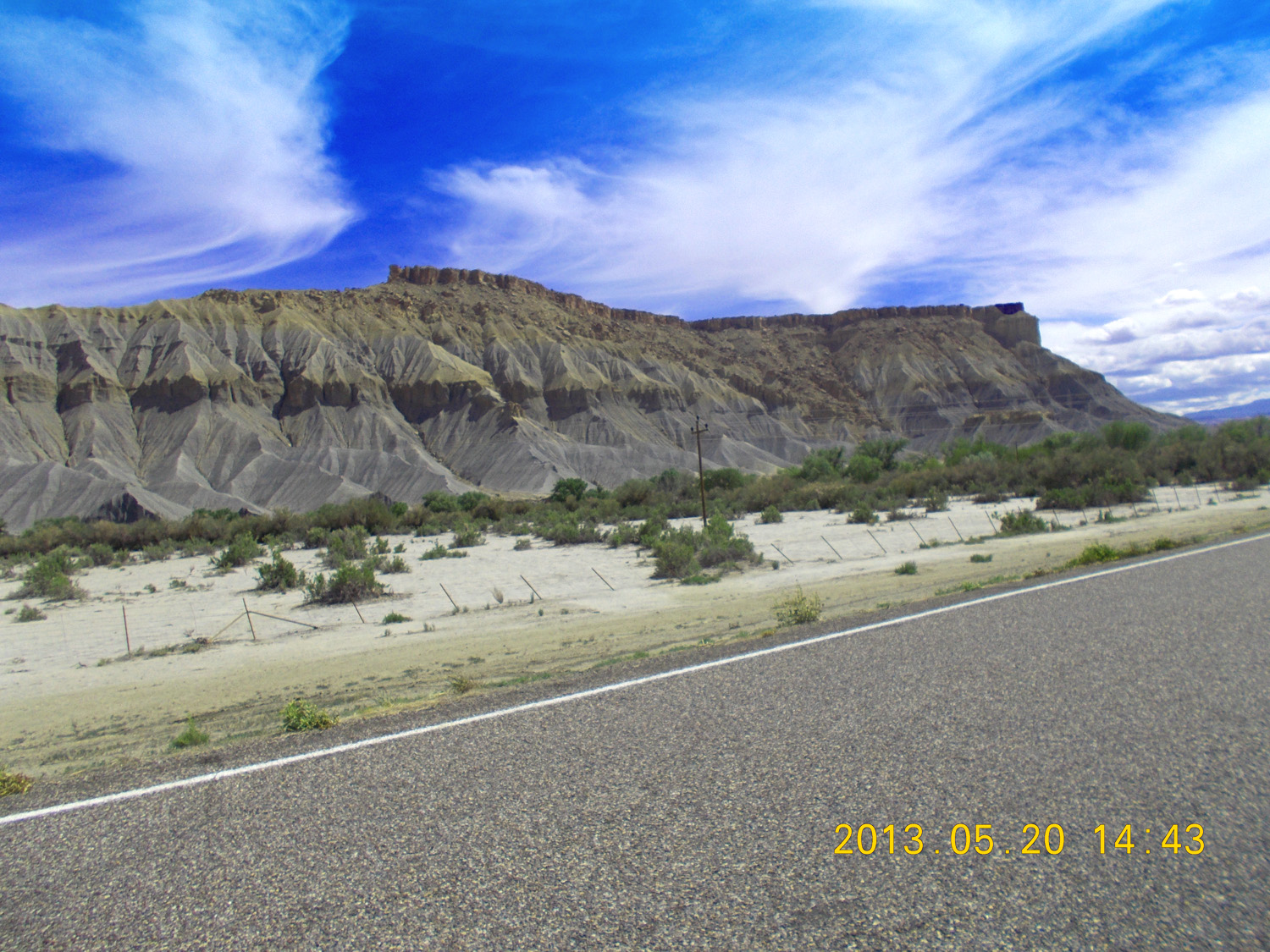
Mancos Shale capped by Mesa Verde Sandstone
May 20 2013 - 2:43 pm
May 20 2013 - 2:43 pm
44 / 65
Freemont River
May 20 2013 - 2:43 pm
May 20 2013 - 2:43 pm
46 / 65
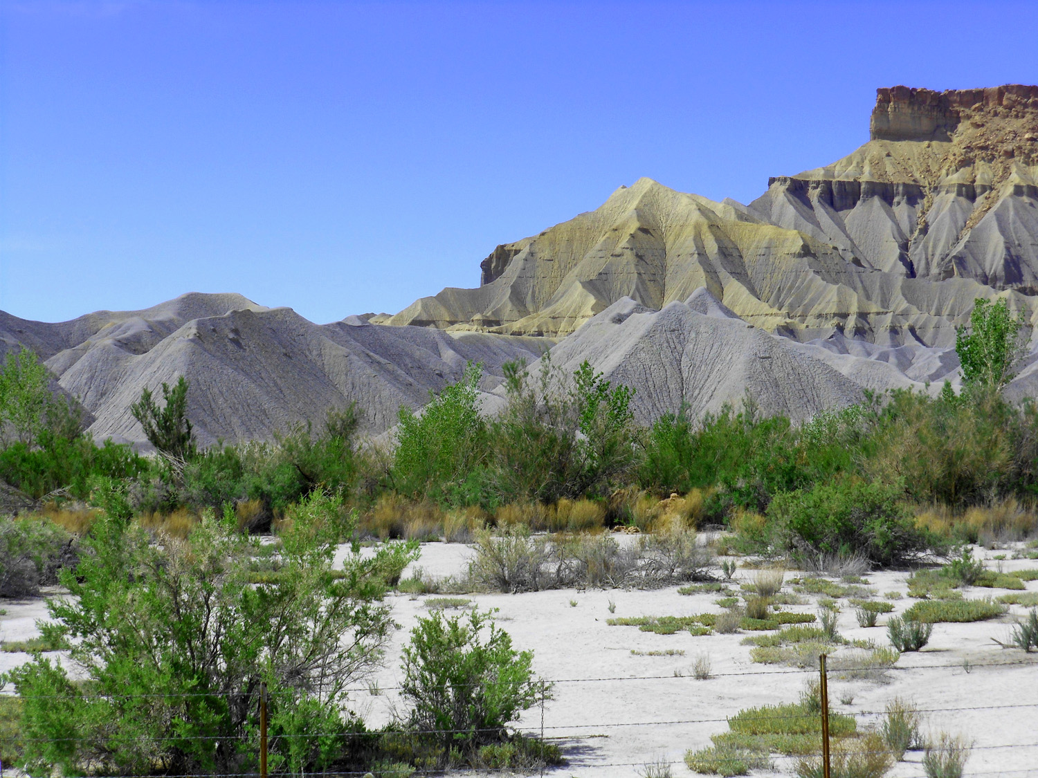
Mancos Shale
May 20 2013 - 2:46 pm
May 20 2013 - 2:46 pm
45 / 65
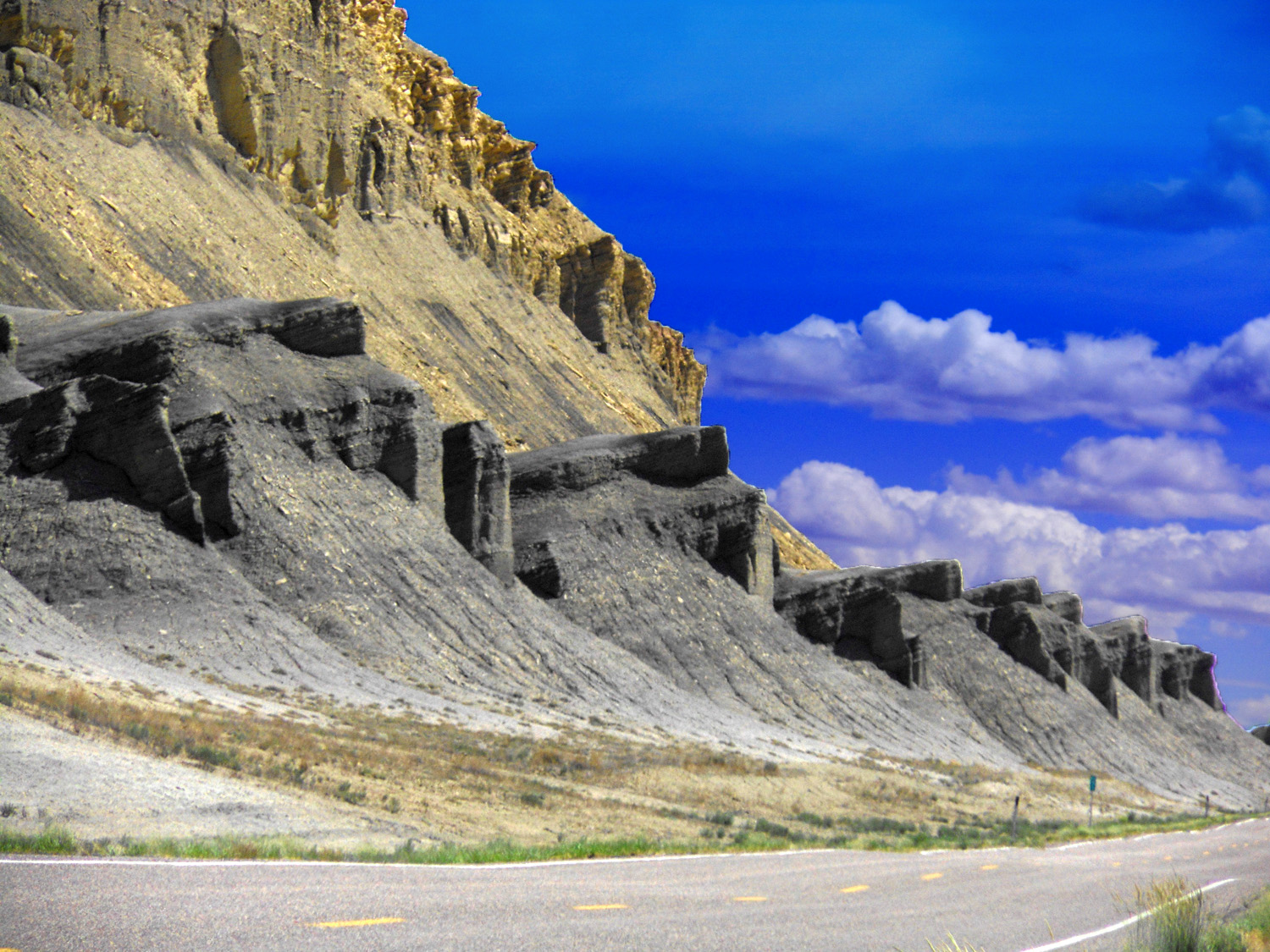
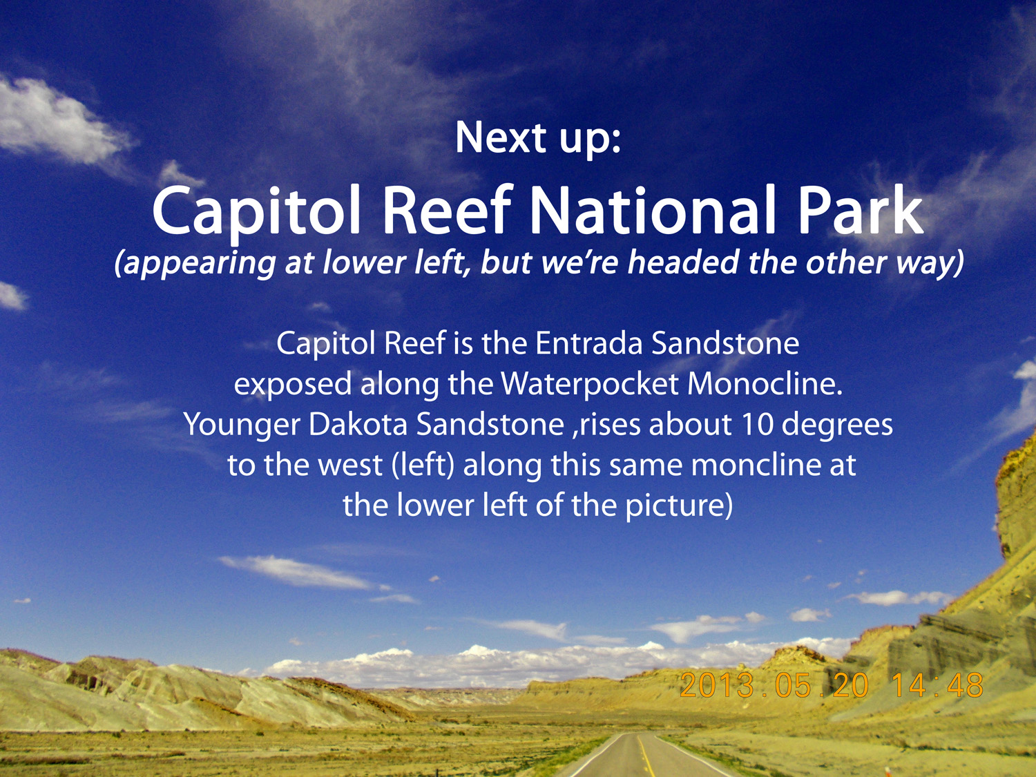
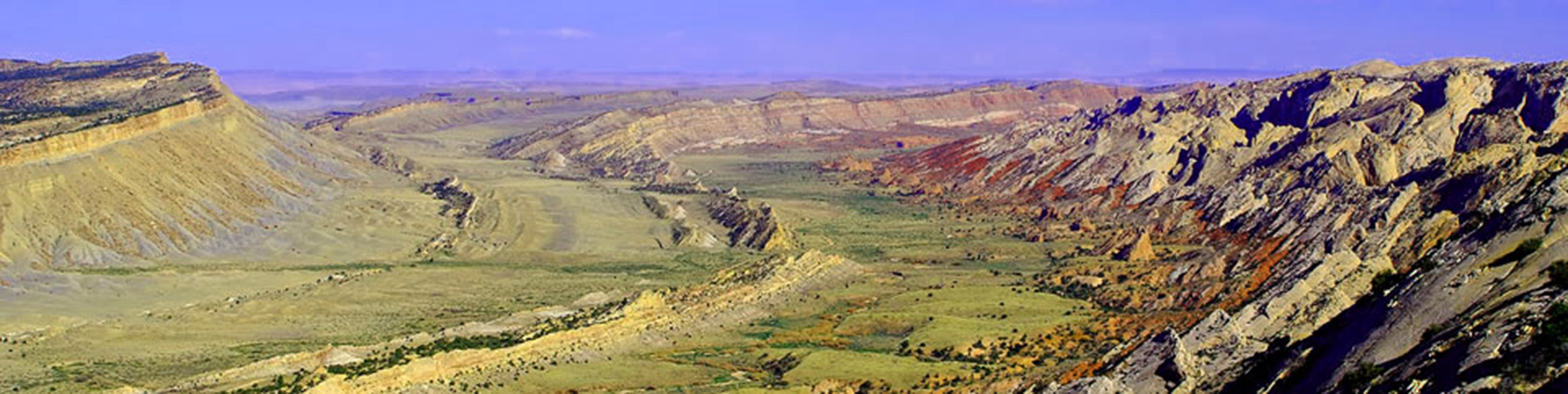
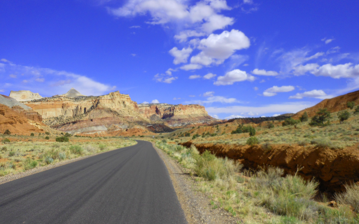
North on UT 24 within the Waterpocket Fold
May 20 2013 - 2:48 pm
May 20 2013 - 2:48 pm
47 / 65
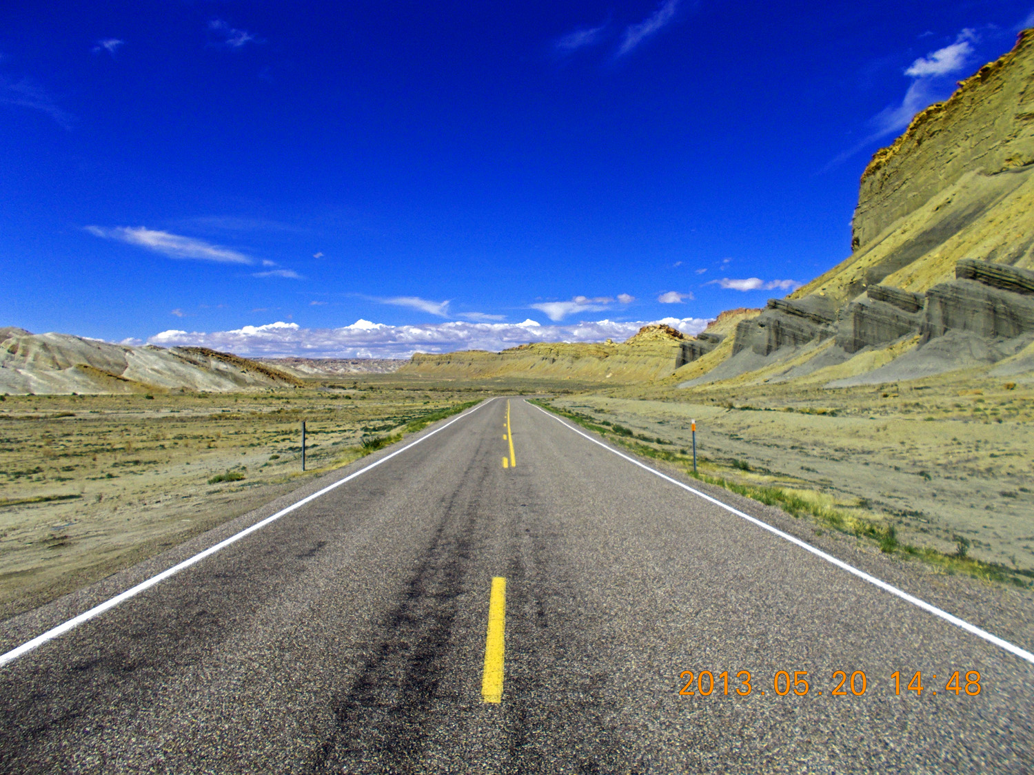
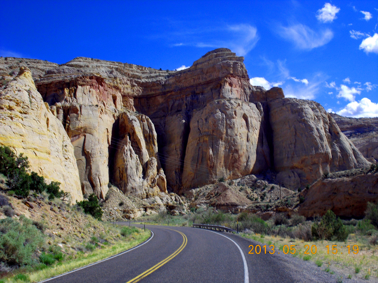
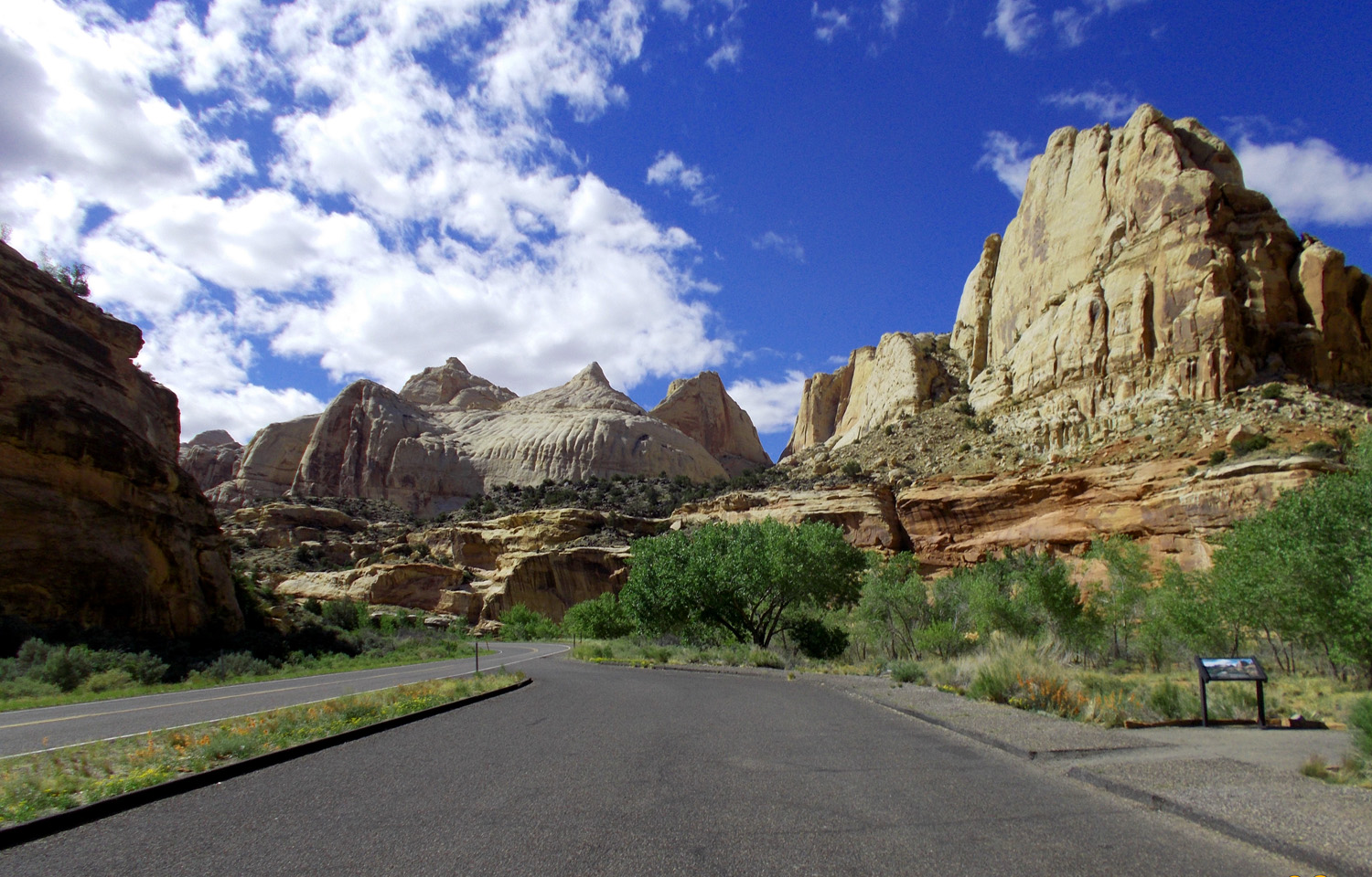
Capitol Reef National Park
May 20 2013 - 3:00 pm
May 20 2013 - 3:00 pm
48 / 65

Sandstone bedding
May 20 2013 - 3:05 pm
May 20 2013 - 3:05 pm
49 / 65
Horse Mesa (6285')
May 20 2013 - 3:19 pm
May 20 2013 - 3:19 pm
50 / 65
Entrada Sandstone
May 20 2013 - 3:21 pm
May 20 2013 - 3:21 pm
51 / 65
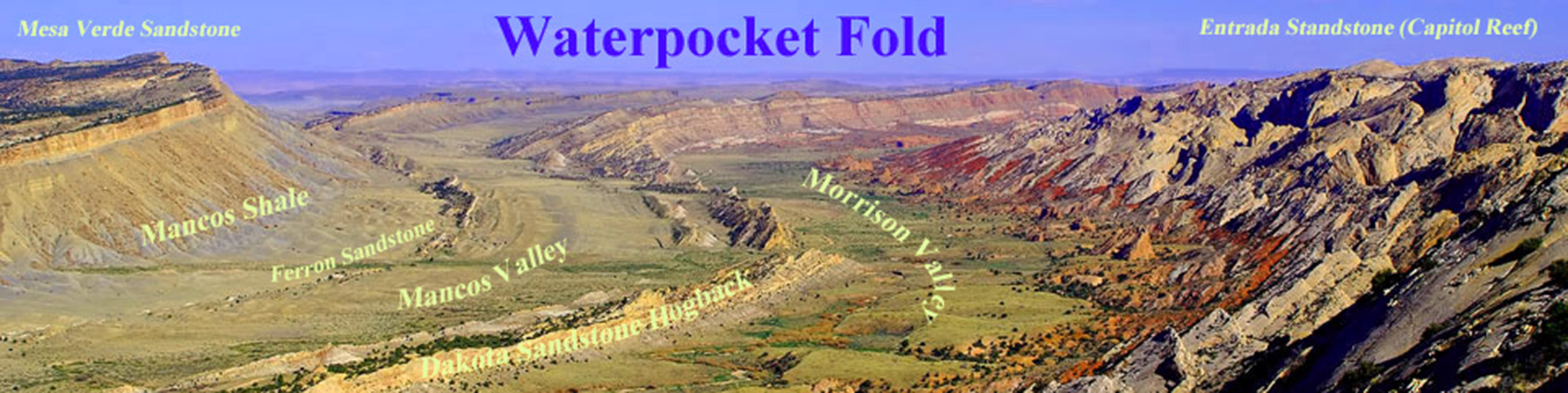
Waterpocket Fold
Alamy Stock Photo M0KD9G
Alamy Stock Photo M0KD9G
52 / 65
Unlabeled
Alamy Stock Photo F6KMBG
Alamy Stock Photo F6KMBG
53 / 65
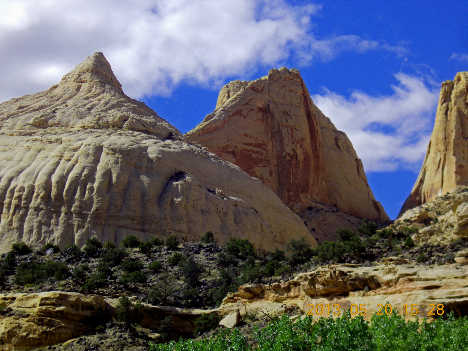
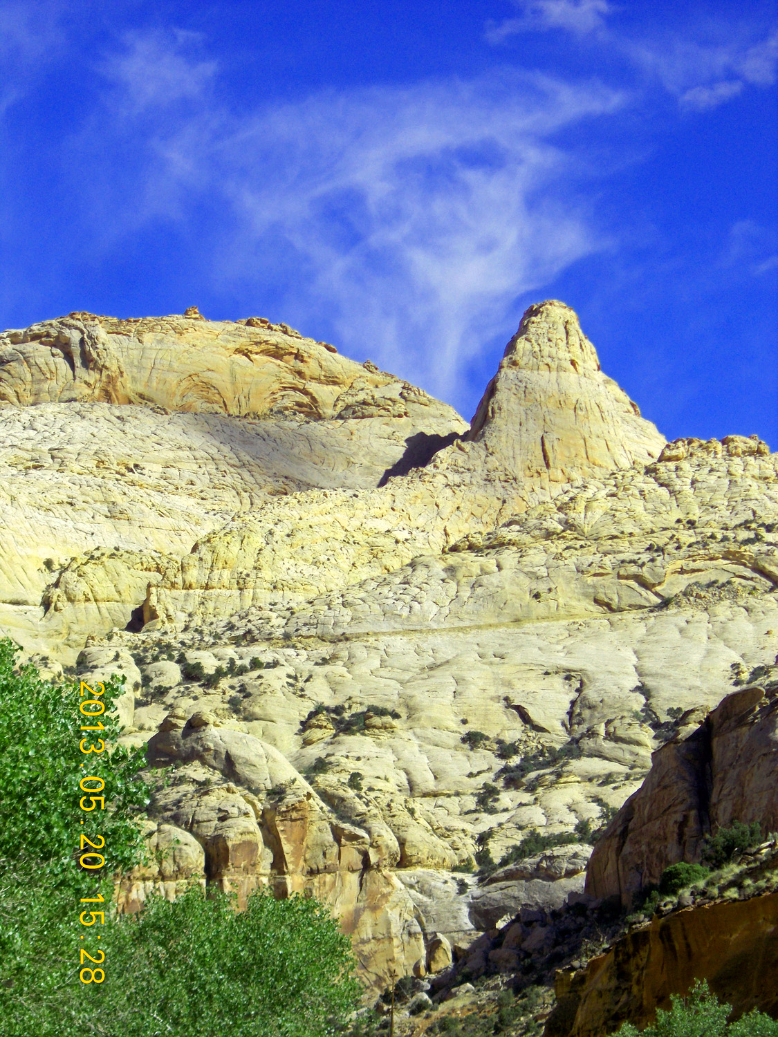
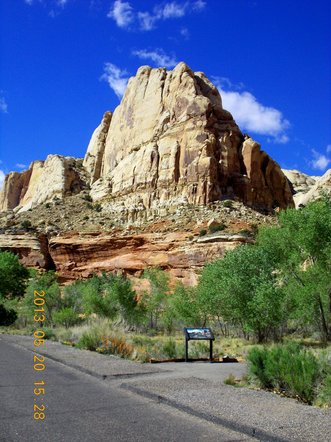
Capitol Dome (6,120')
May 20 2013 - 3:25 pm
May 20 2013 - 3:25 pm
54 / 65
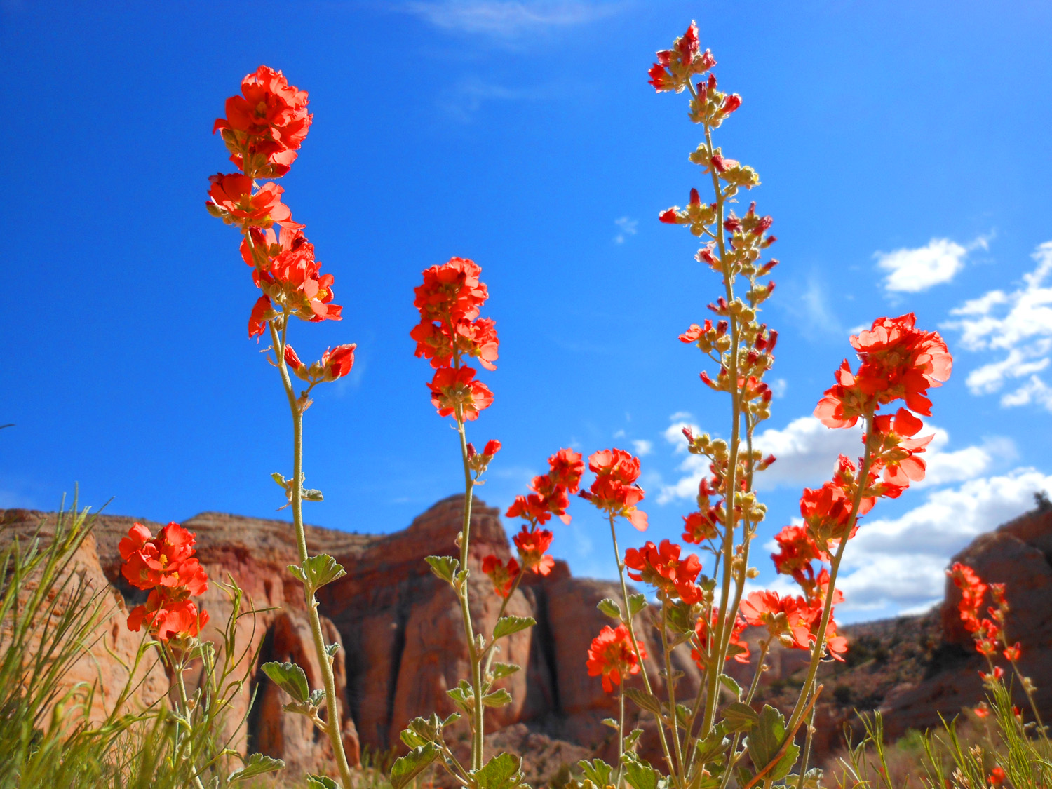
Red flowers in front of red rocks
May 20 2013 - 3:26 pm
May 20 2013 - 3:26 pm
55 / 65
Spires of Entrada Sandstone
May 20 2013 - 3:28 pm
May 20 2013 - 3:28 pm
56 / 65
Entrada spires on top of Wingate Sandstone
May 20 2013 - 3:28 pm
May 20 2013 - 3:28 pm
57 / 65
Capitol Reef from Scenic Drive Road
May 20 2013 - 3:42 pm
May 20 2013 - 3:42 pm
58 / 65
Tafoni decorating Wingate/Navajo Sandstone
May 20 2013 - 3:59 pm
May 20 2013 - 3:59 pm
59 / 65
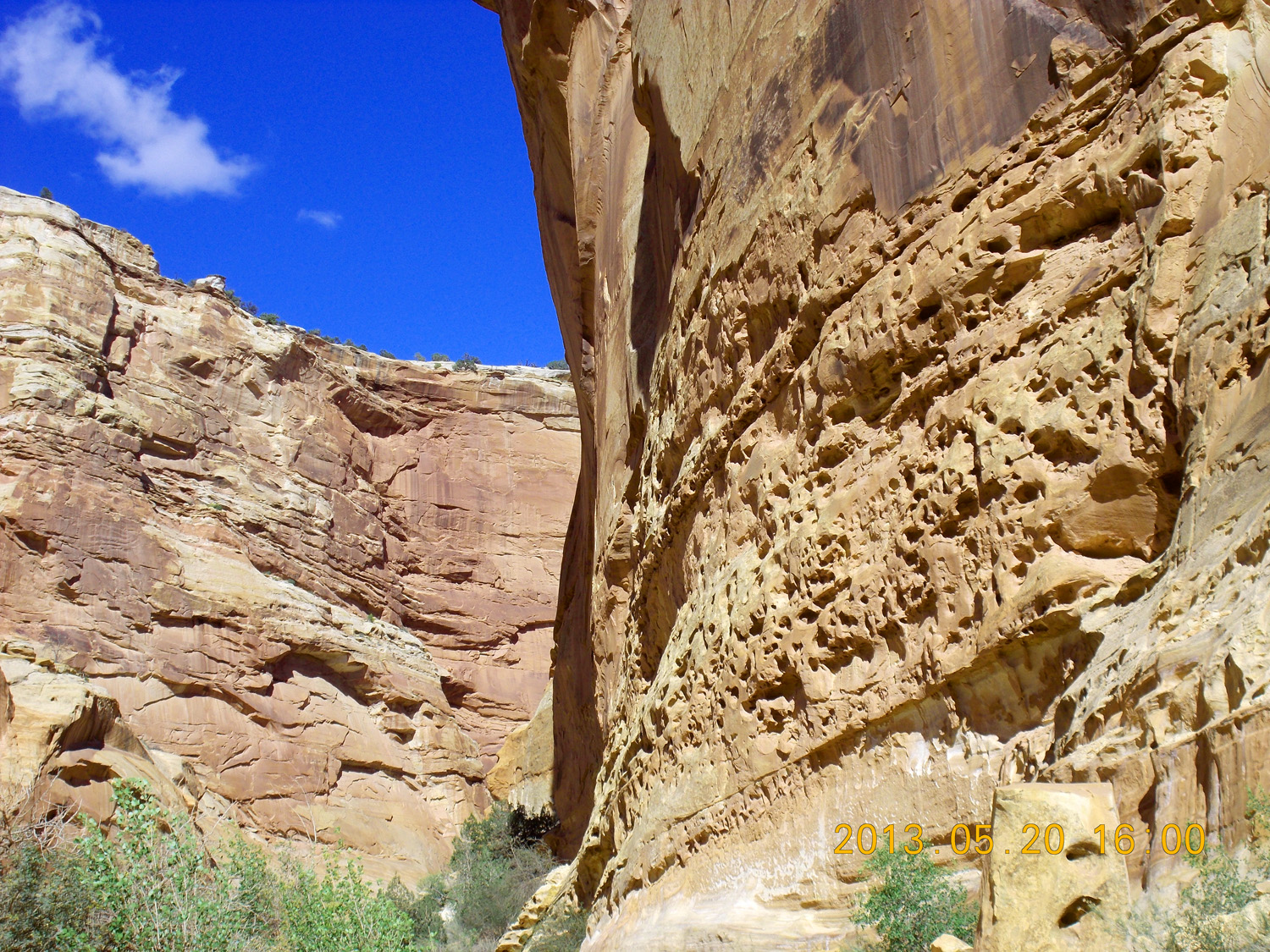
Telephoto of tafoni (common in sandstones)
May 20 2013 - 4:00 pm
May 20 2013 - 4:00 pm
60 / 65
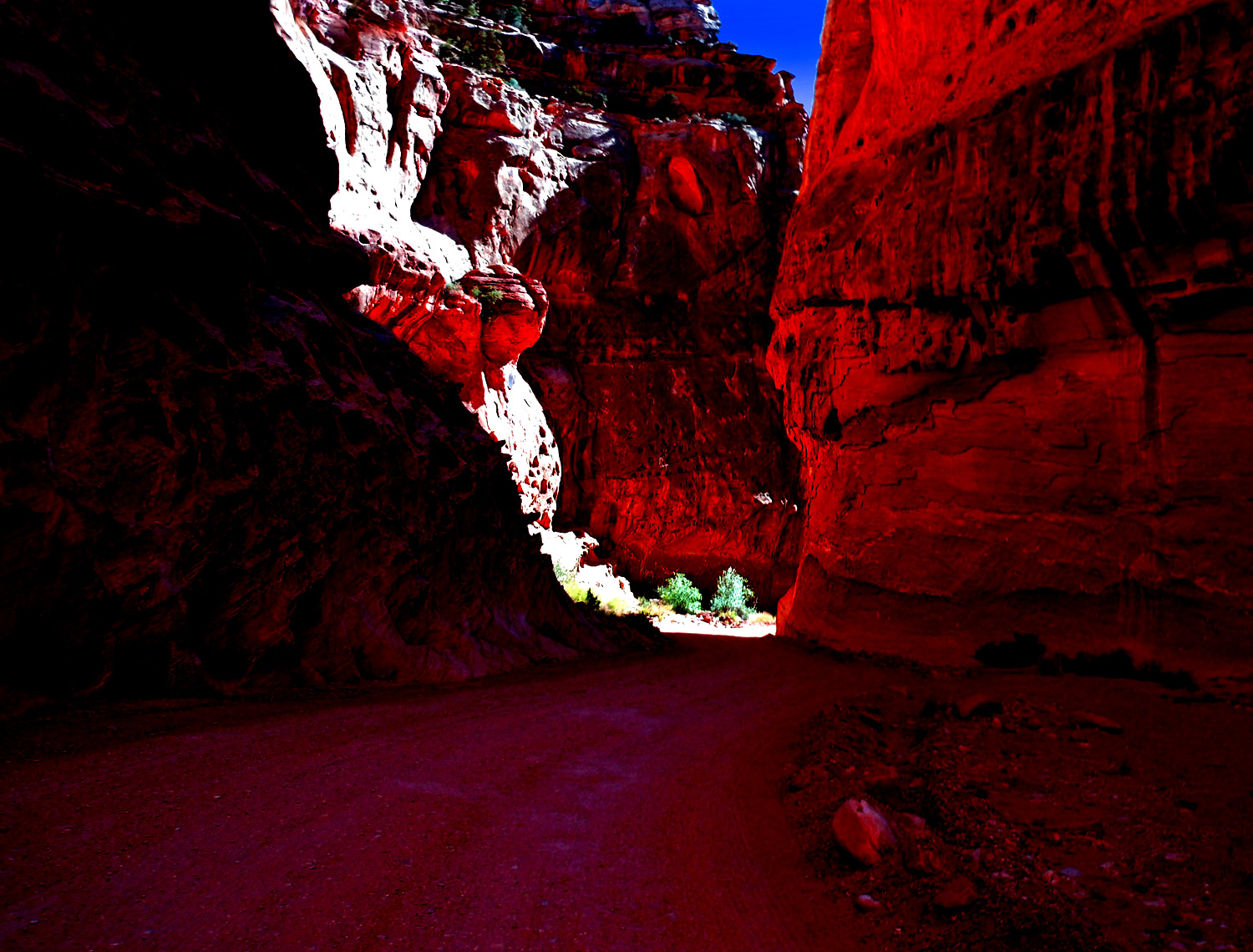
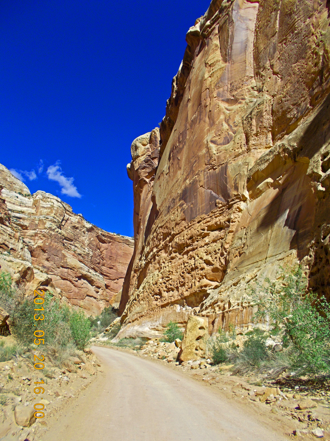
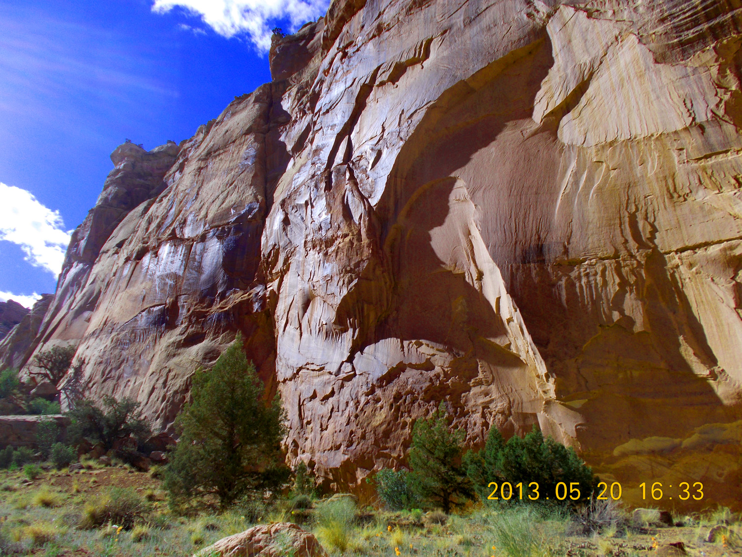
Dark canyon deep in the Waterpocket Fold
May 20 2013 - 4:02 pm
May 20 2013 - 4:02 pm
61 / 65
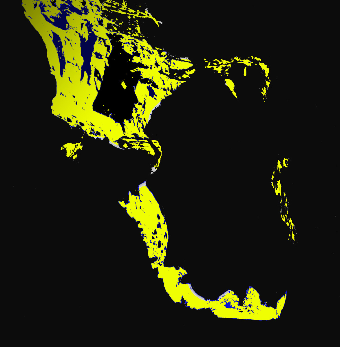
Or a yellow monster with wide-open teethed jaws gobbling a huge yellow worm
playing on Adobe Photoshop with sunlit areas of the previous slide
playing on Adobe Photoshop with sunlit areas of the previous slide
62 / 65
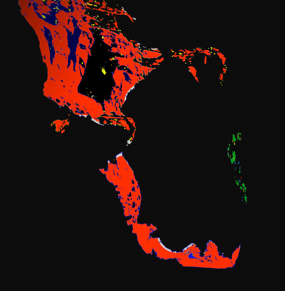
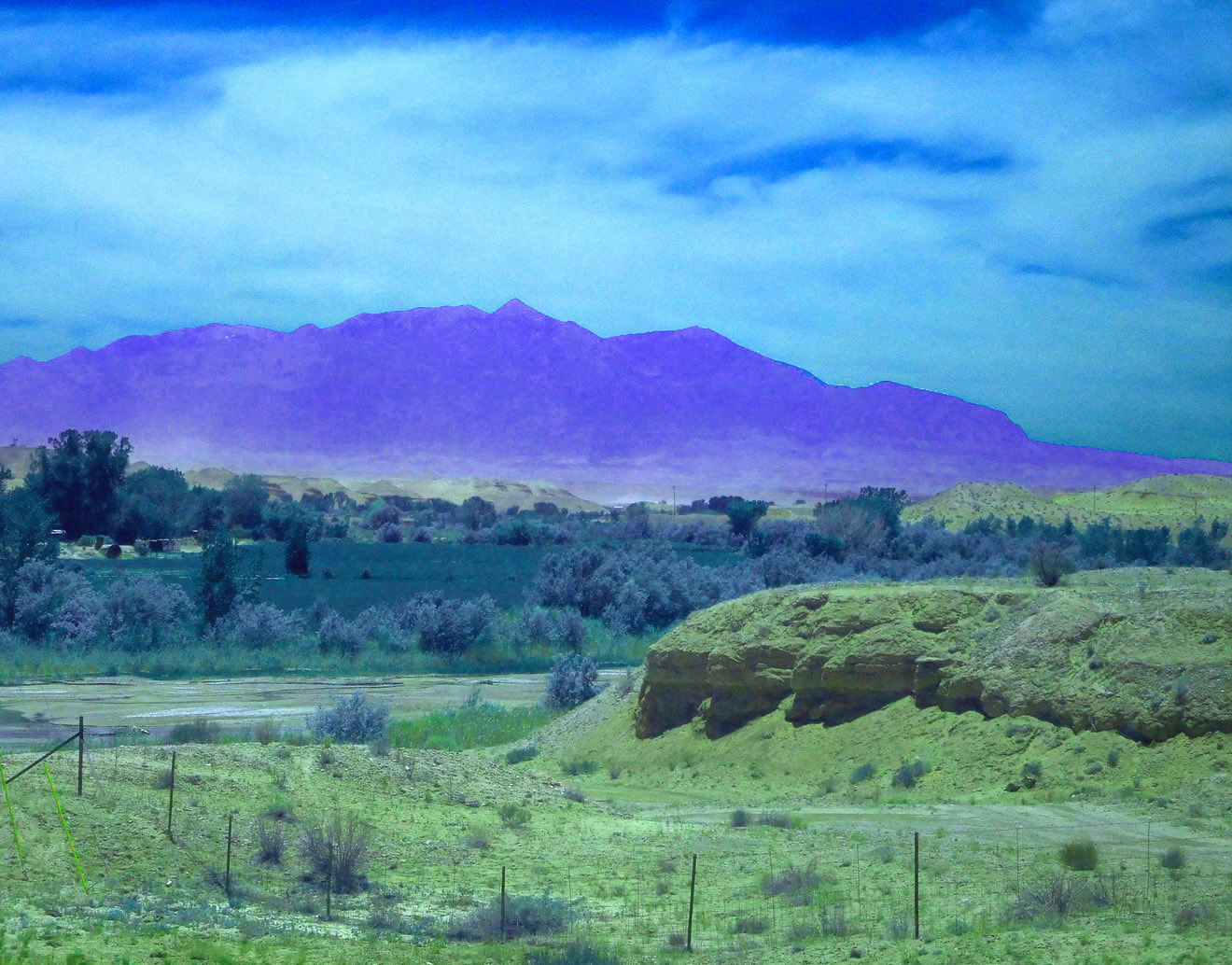
Or perhaps an orange monster imbibing a green snake
using Photoshop's Hue/Saturation adjustment tool
using Photoshop's Hue/Saturation adjustment tool
63 / 65
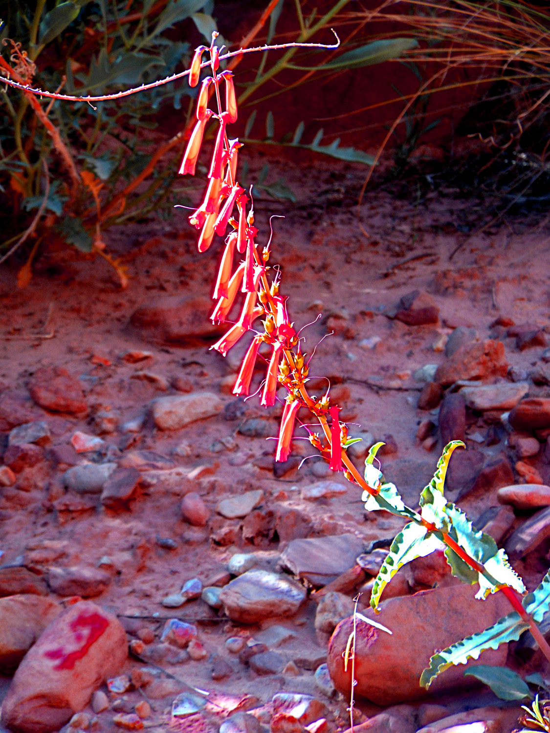
Red Penstemon
May 20 2013 - 4:30 pm
May 20 2013 - 4:30 pm
64 / 65
Maganese oxide stain reflecting the sun
May 20 2013 - 4:33 pm
May 20 2013 - 4:33 pm
65 / 65
End of slides for Utah 24 at Torrey
just west of Capitol Reef National Park
just west of Capitol Reef National Park