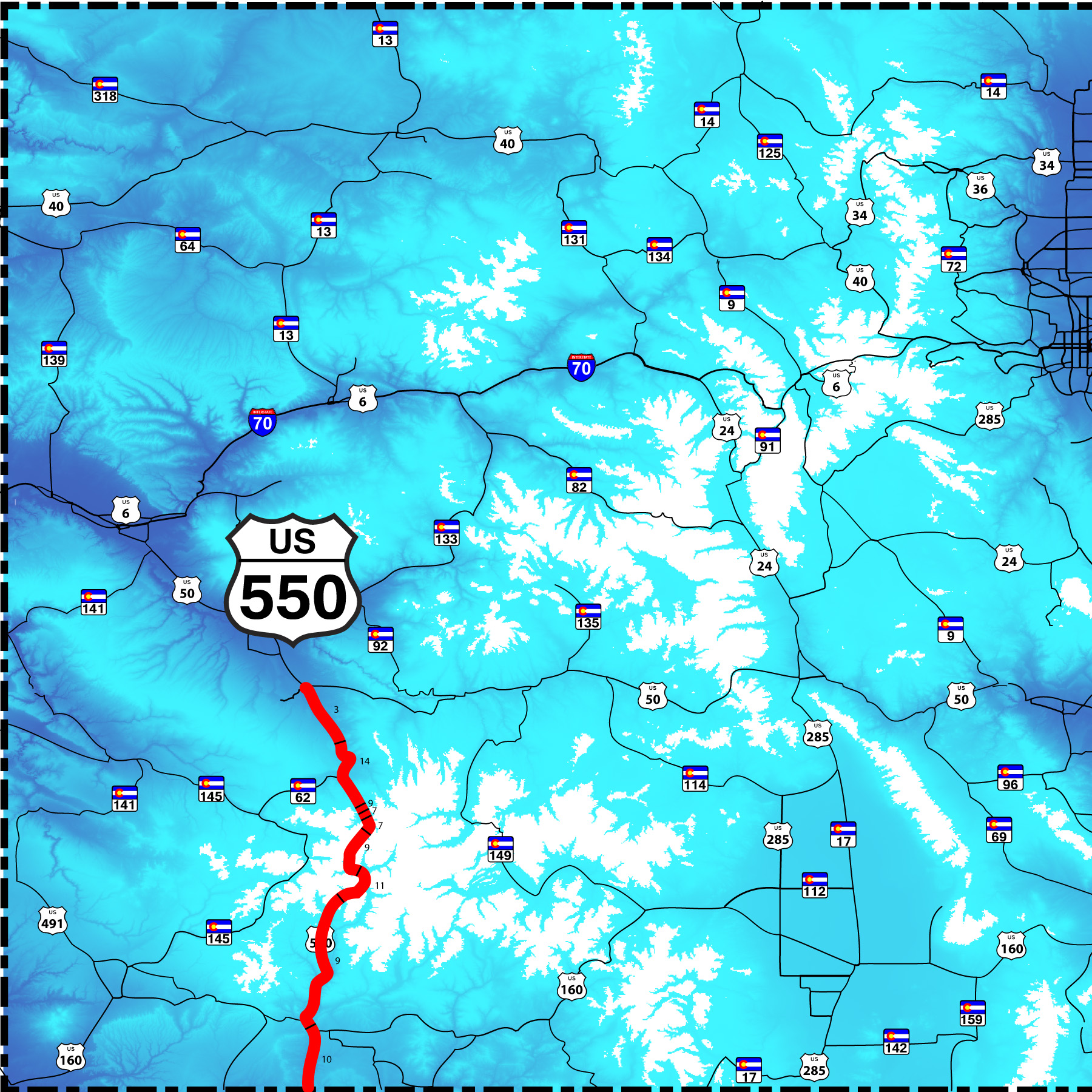
81 Slides: through the heart of the San Juan Mountains over three passes greater than 10,640'
Coal Bank Pass (10,640'); Molas Pass (10,910'); and Red Mountain Pass (11,017')
Road Index or use your browser "back" arrow or function 1 minute cycle: please choose another user-controlled 2 seconds 5 seconds 10 seconds 30 seconds
1 / 81
2 / 81
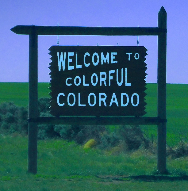
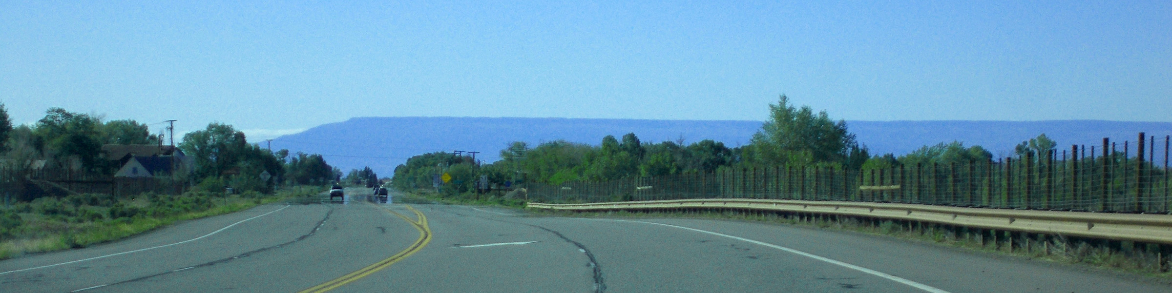
South end of US 550 slides at the southern Colorado border
US 550 extend south in New Mexico to I 25 at Bernalillo, just north of Albuqueque
May 24 2021 - 9:05 am
US 550 extend south in New Mexico to I 25 at Bernalillo, just north of Albuqueque
May 24 2021 - 9:05 am
3 / 81
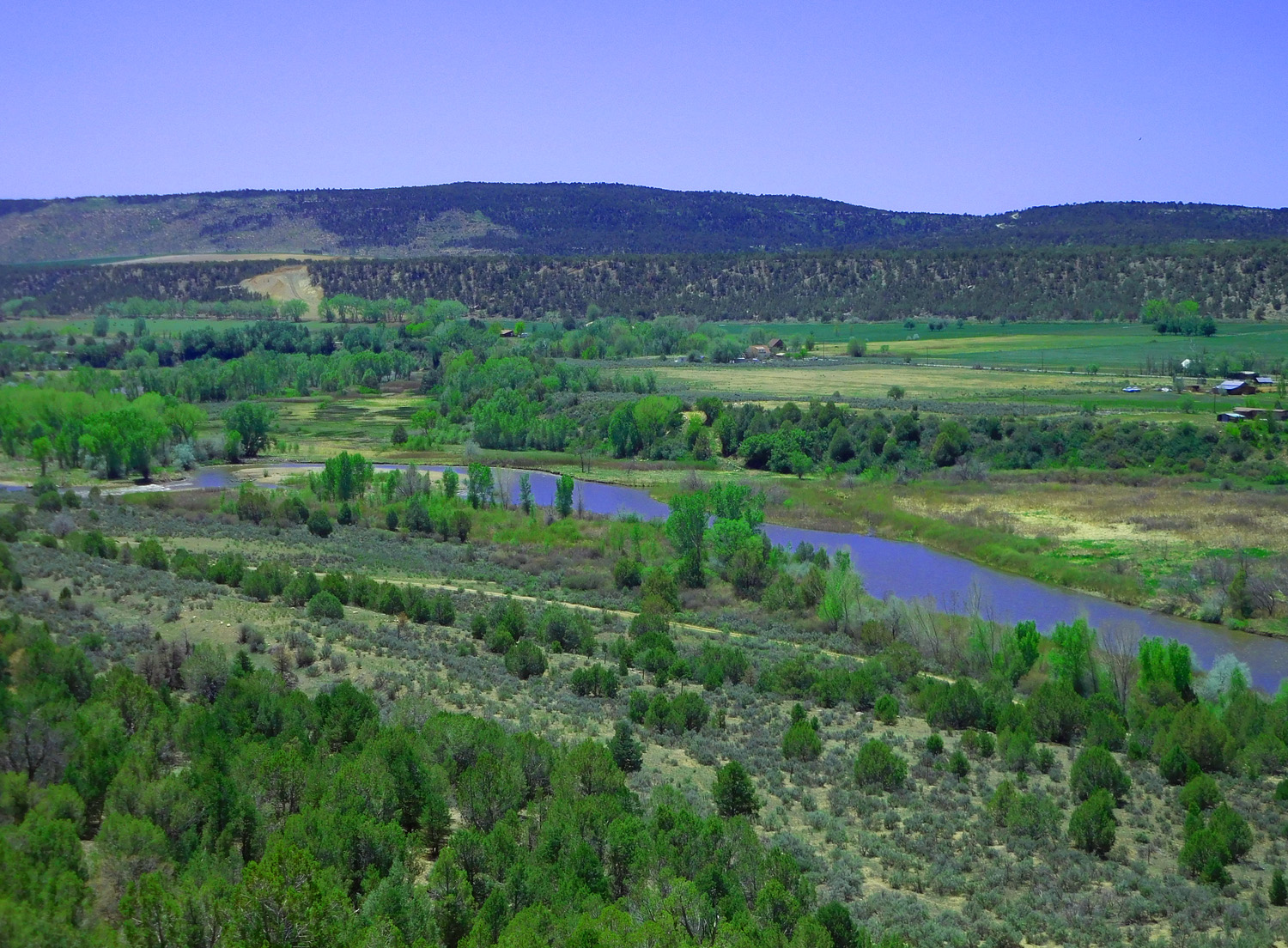
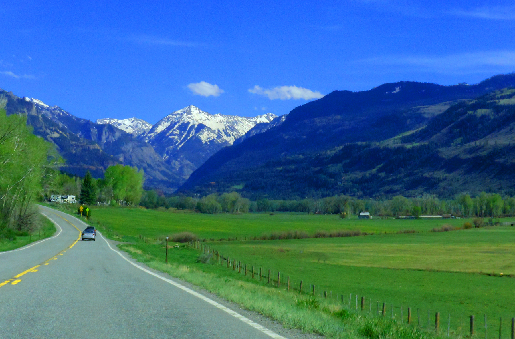
US 550 follow the third terrace above the Animas River (fourth terrace forms the skyline)
May 24 2021 - 12:42 pm
May 24 2021 - 12:42 pm
4 / 81
La Plata Mountains over the Animas River Valley
May 24 2021 - 12:52 pm
May 24 2021 - 12:52 pm
5 / 81
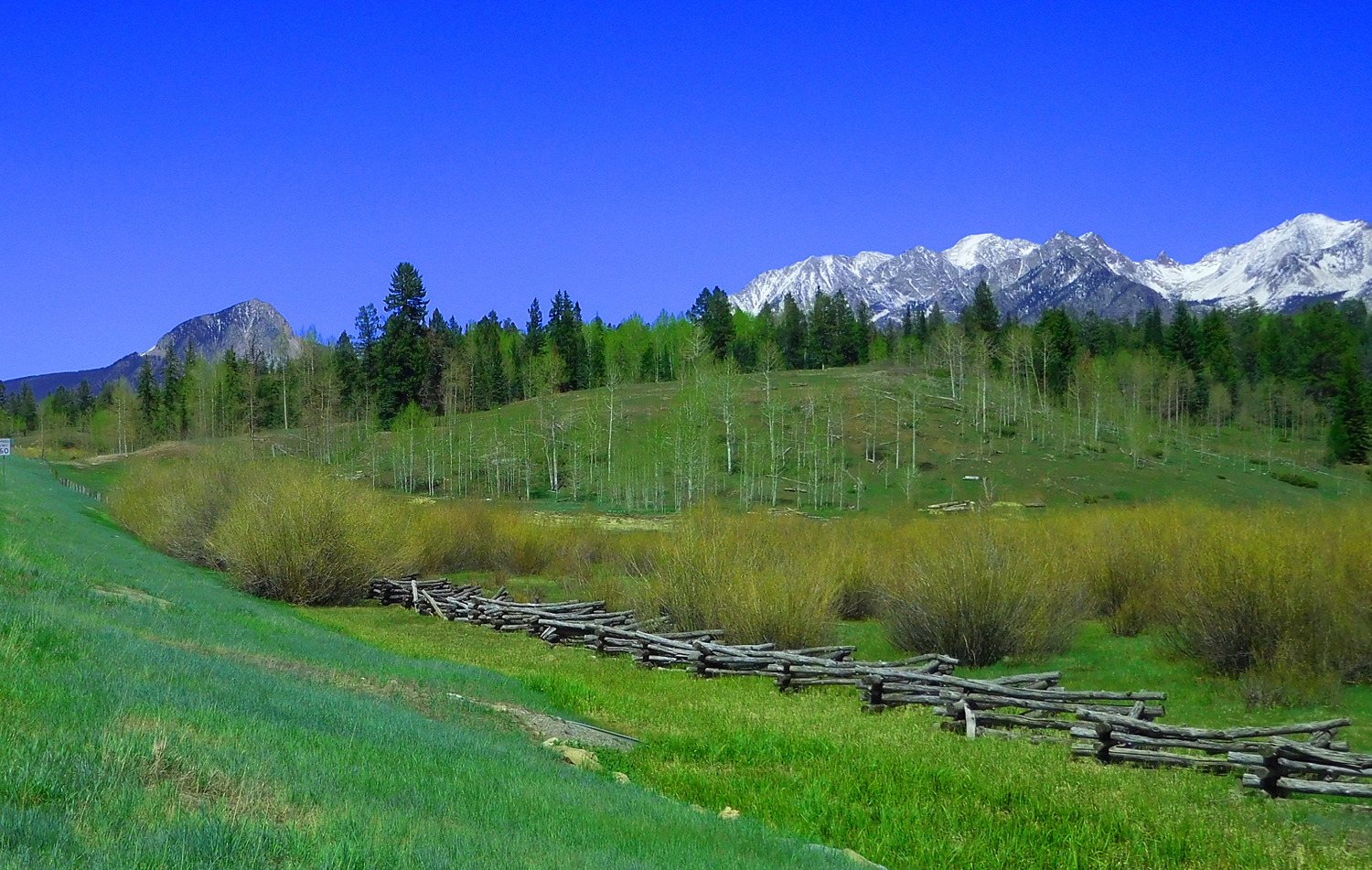
Terraces along the Animas River downstream of glacial moraines near Durango
May 24 2021 - 12:55 pm
May 24 2021 - 12:55 pm
6 / 81
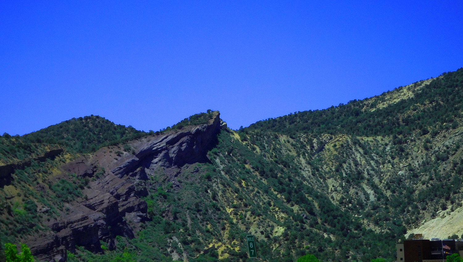
Mancos Shale Hogback
May 24 2021 - 1:52 pm
May 24 2021 - 1:52 pm
7 / 81
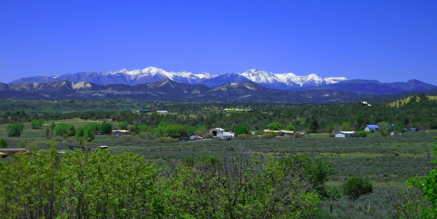
San Miguel and western San Juan Mountains (Sneffels Range)
May 24 2021 - 1:43 pm
May 24 2021 - 1:43 pm
8 / 81
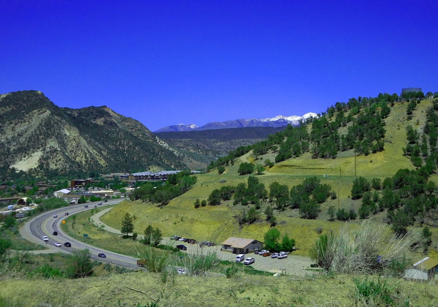
US 550/160 through the Mesa Verde Sandstones Hogbacks flanking the southern San Juan uplift
May 24 2021 - 12:30 pm
May 24 2021 - 12:30 pm
9 / 81
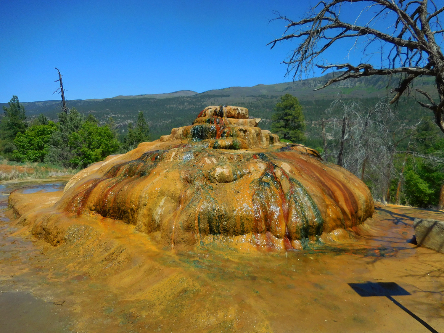
Colorful hot spring along the road
May 24 2021 - 2:18 pm
May 24 2021 - 2:18 pm
10 / 81
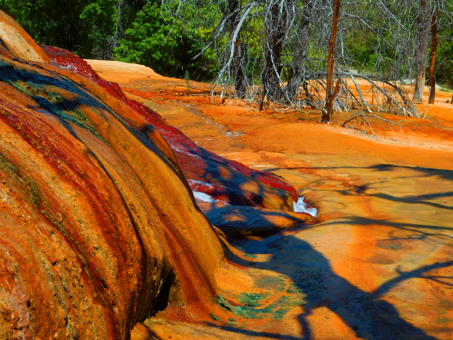
Close up
May 24 2021 - 2:19 pm
May 24 2021 - 2:19 pm
11 / 81
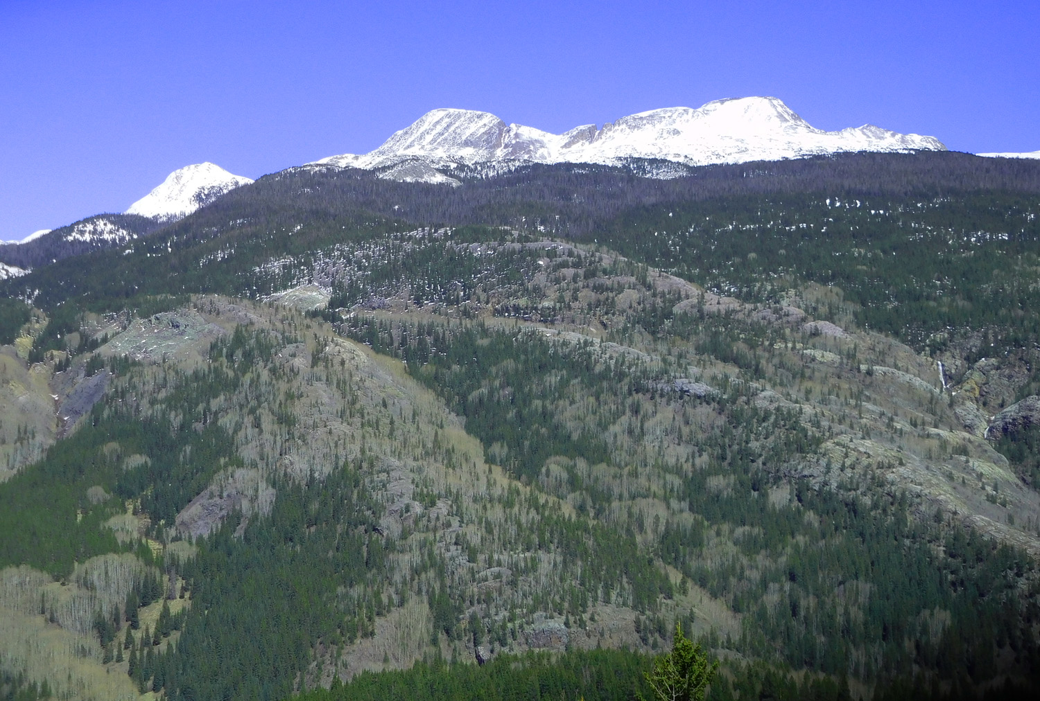
Nice view
May 24 2021 - 1:30 pm
May 24 2021 - 1:30 pm
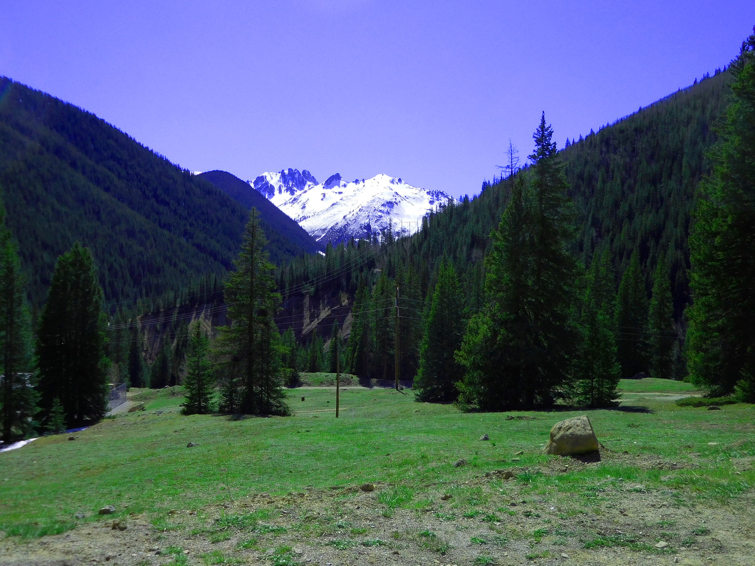
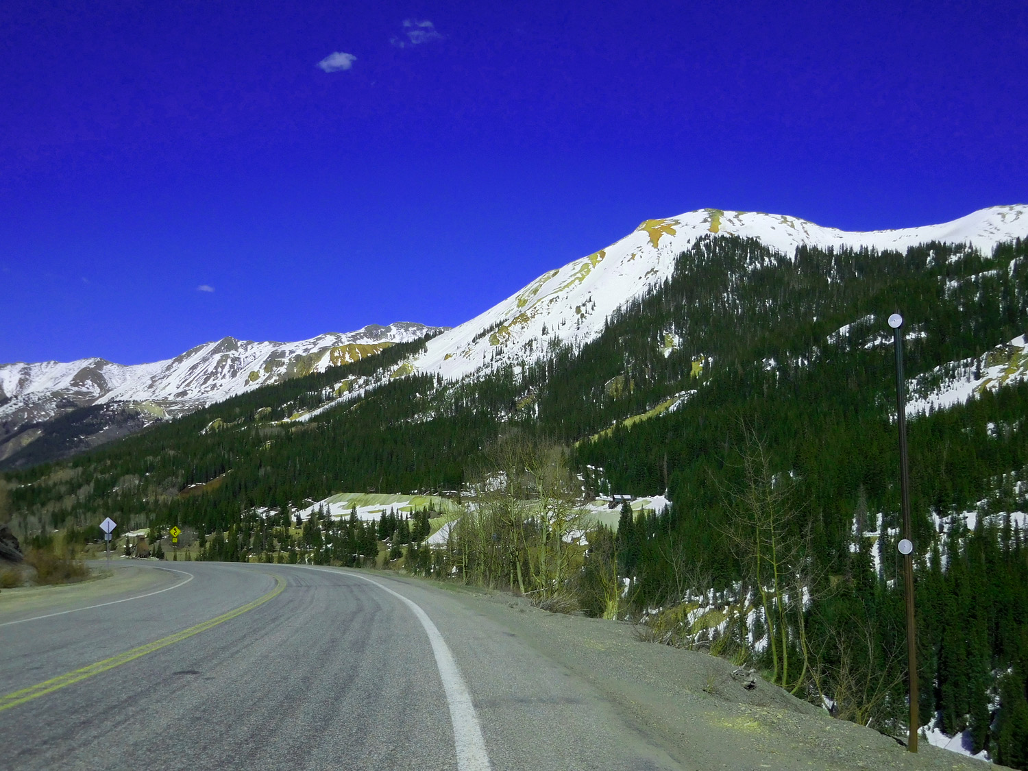
12 / 81
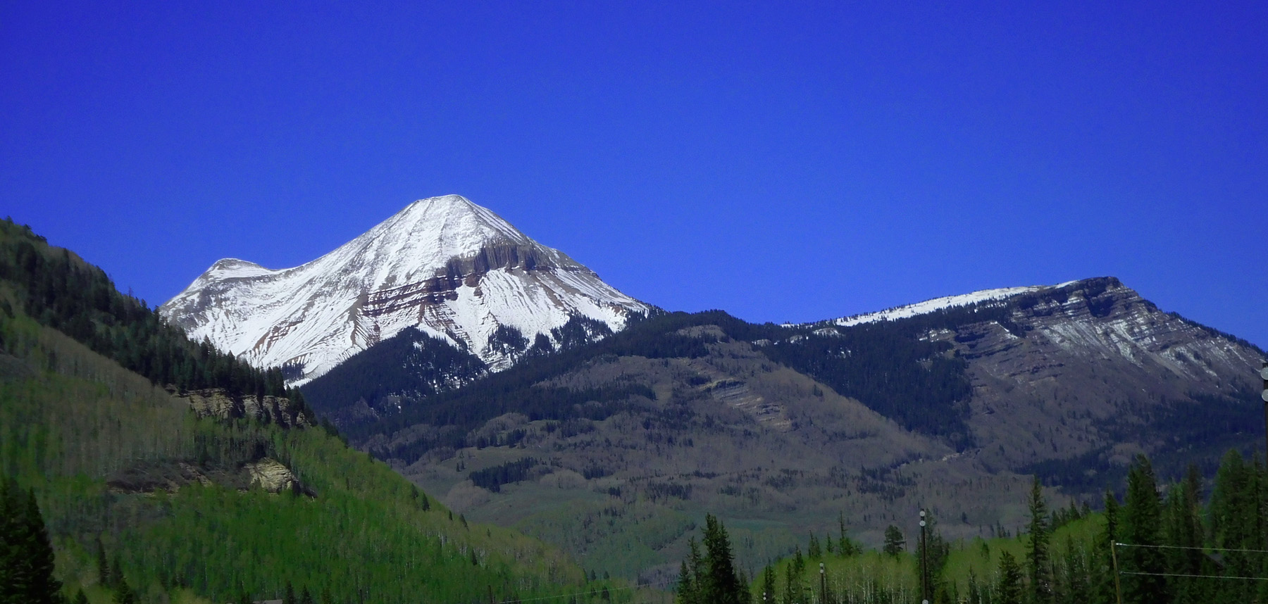
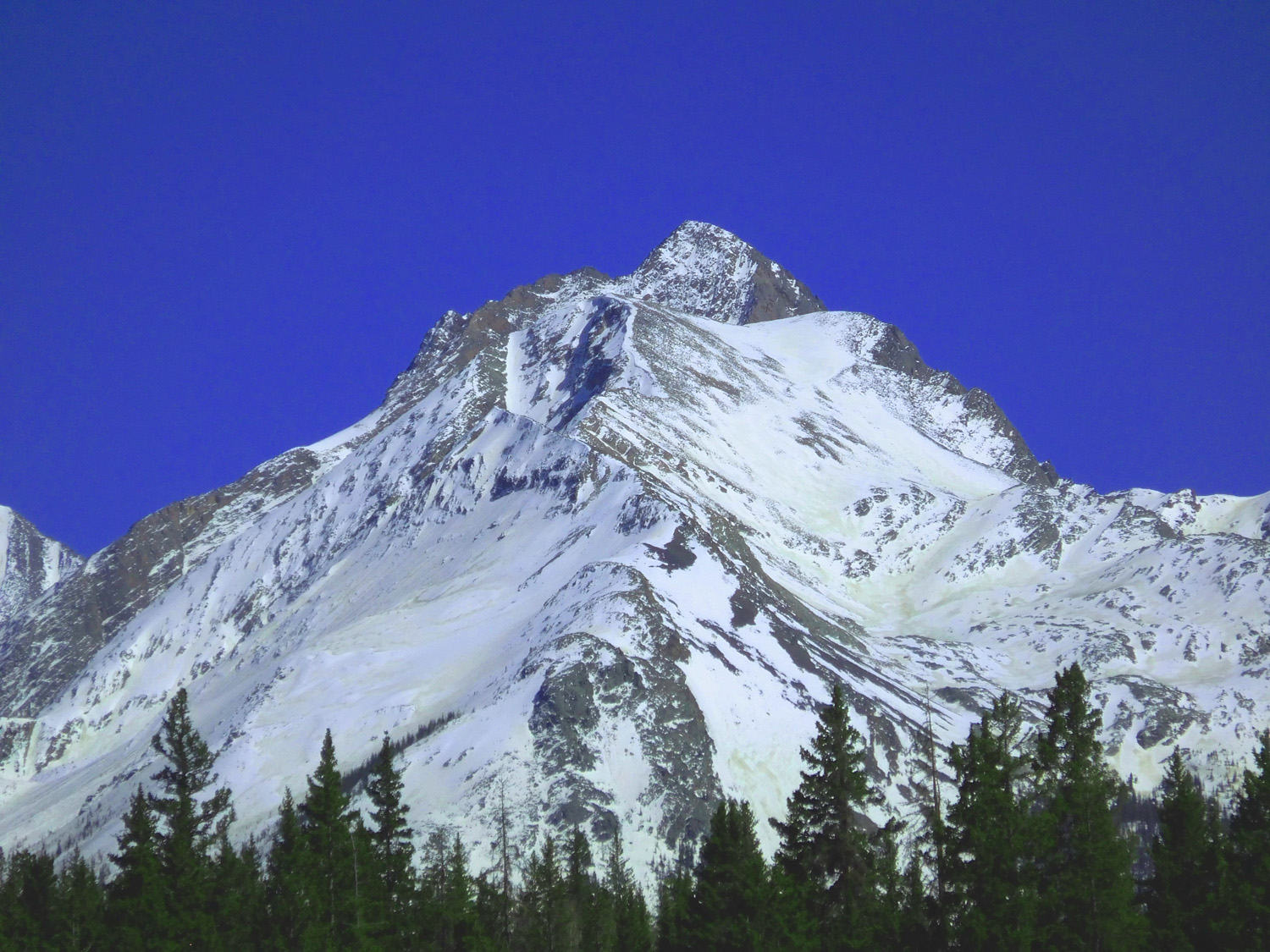
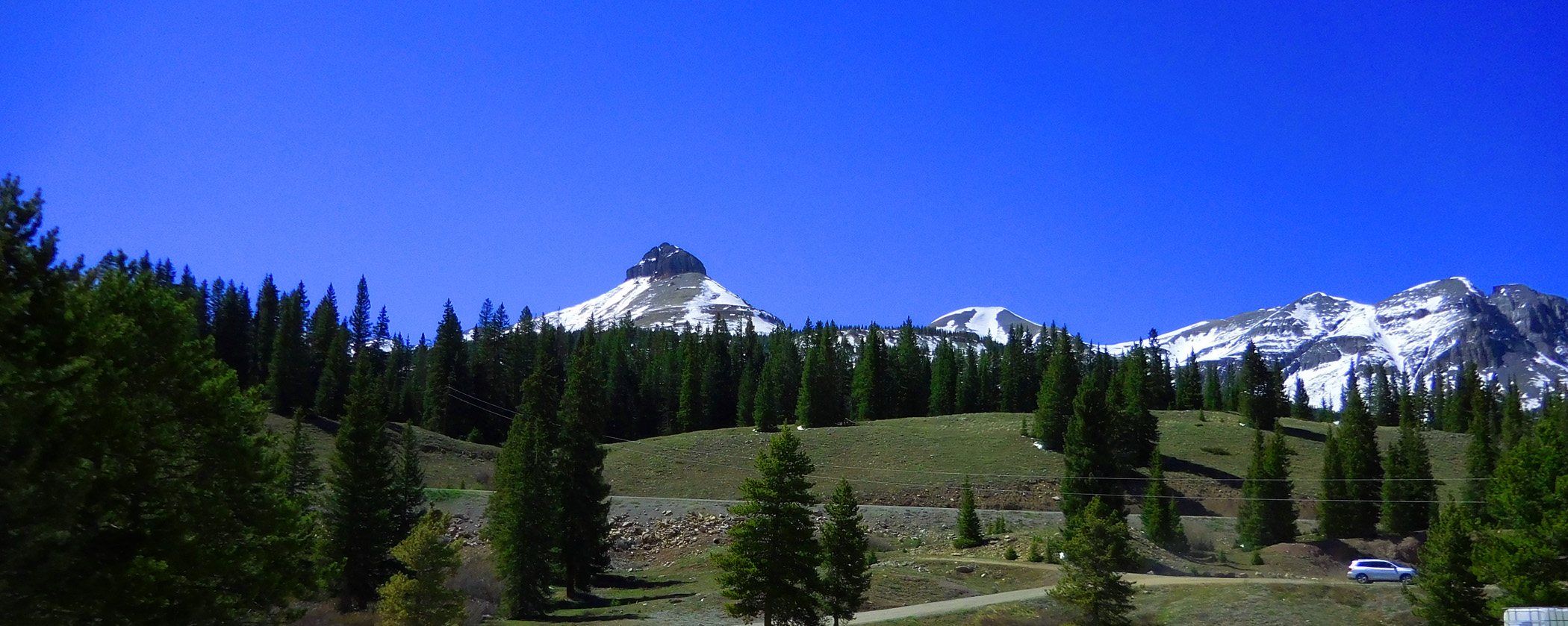
Engineer Mountain (12,968') from the south
May 24 2021 - 2:33 pm
May 24 2021 - 2:33 pm
13 / 81
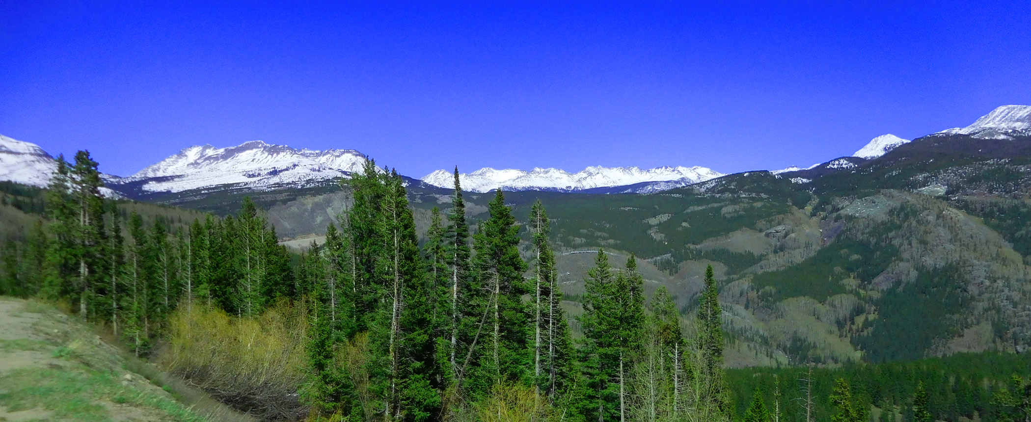
San Juan Mountains, Needles Range
May 24 2021 - 2:43 pm
May 24 2021 - 2:43 pm
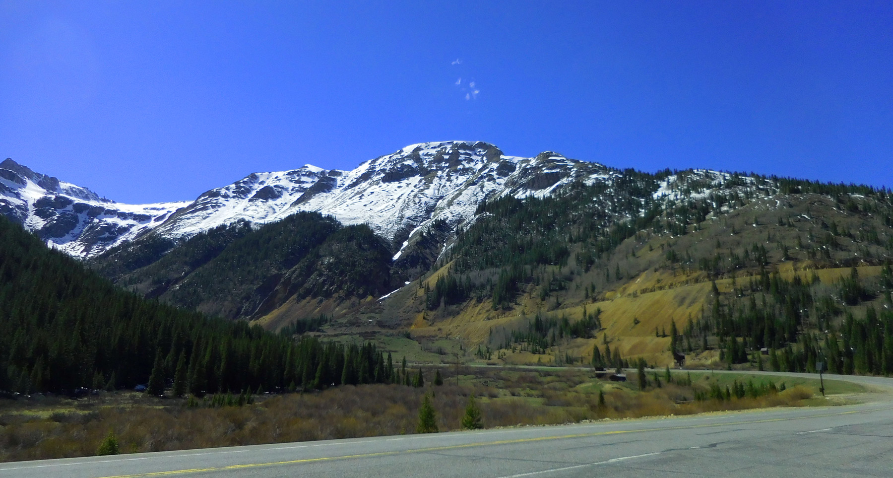
14 / 81
Engineer Mountain formed by the San Juan Tuff over Pennsylvainian Maroon/Hermosa Formation
May 24 2021 - 2:46 am
May 24 2021 - 2:46 am
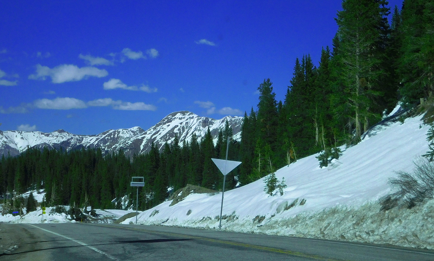
15 / 81
US 550
May 24 2021 - 2:49 pm
May 24 2021 - 2:49 pm
16 / 81
Flat layered volcanic lava flows (mostly hot ash flows, or nuèe ardentes)
May 24 2021 - 3:02 pm
May 24 2021 - 3:02 pm
17 / 81
Precambrian Uncompahgre Quartzite forming surface upon which Miocene volcanic deposits accumulated
May 24 2021 - 3:05 pm
May 24 2021 - 3:05 pm
18 / 81
The Needles Range, Precambrian Quartzite only
May 24 2021 - 3:06 pm
May 24 2021 - 3:06 pm
19 / 81
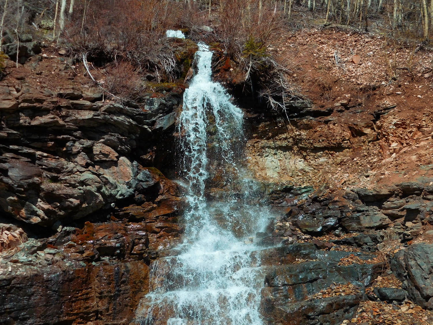
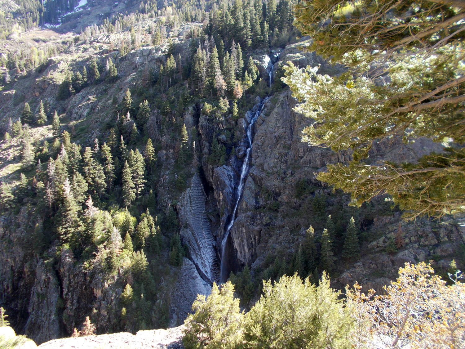
Ephemeral waterfall
May 24 2021 - 3:16 pm
May 24 2021 - 3:16 pm
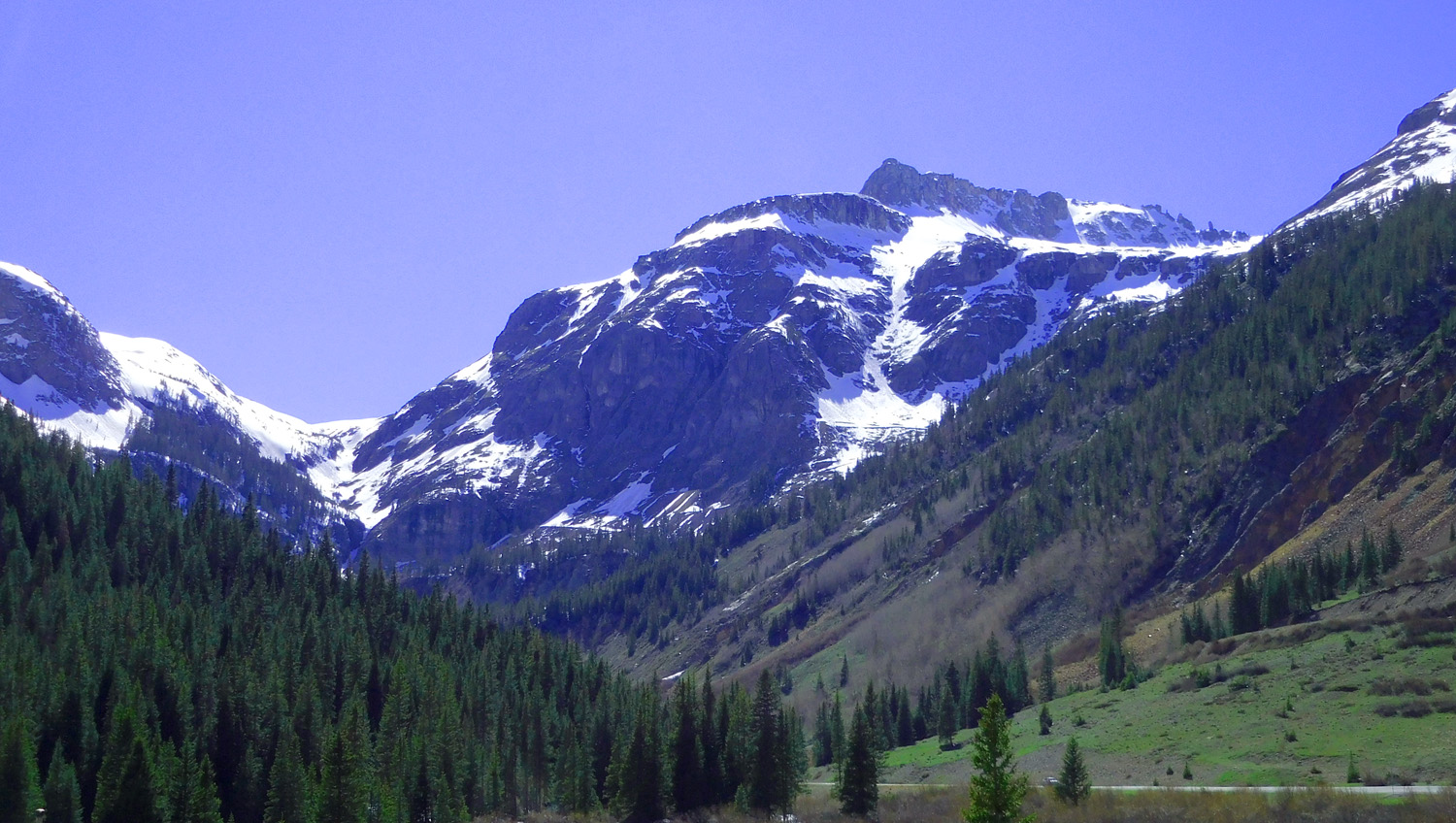
20 / 81
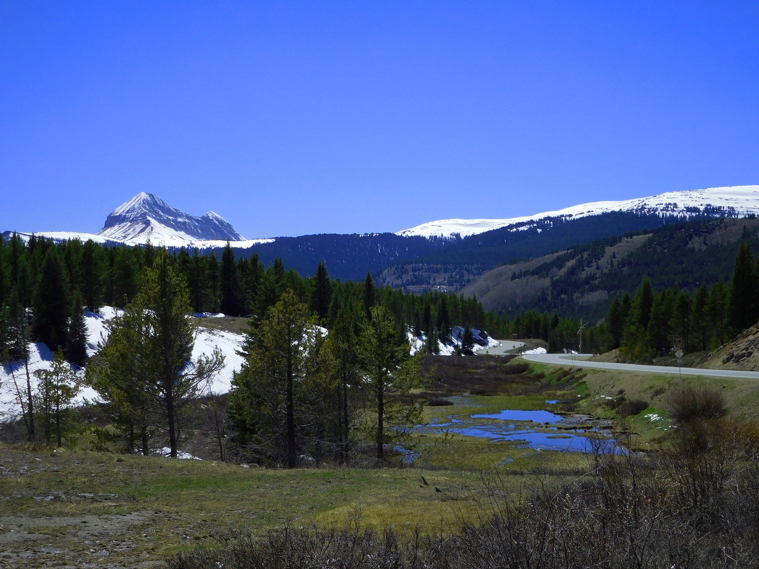
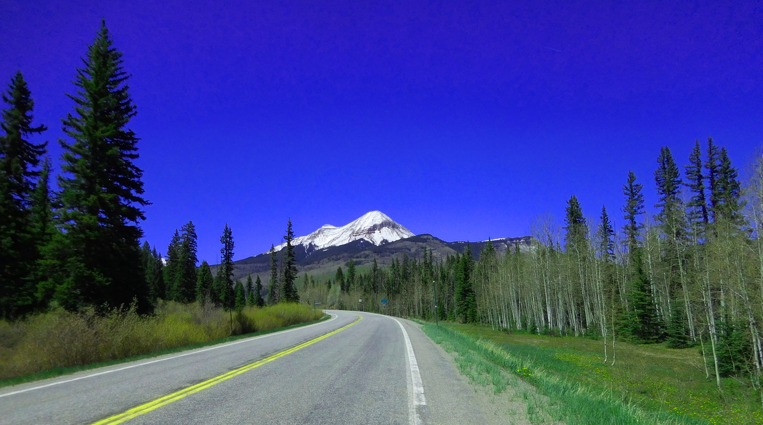
Engineer Mountain from the north
May 24 2021 - 3:20 pm
May 24 2021 - 3:20 pm
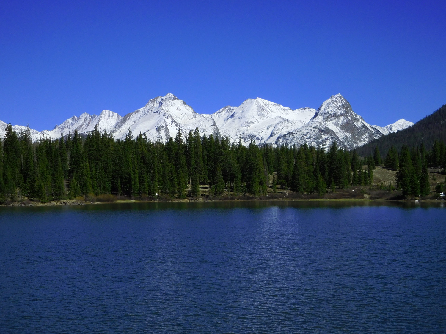
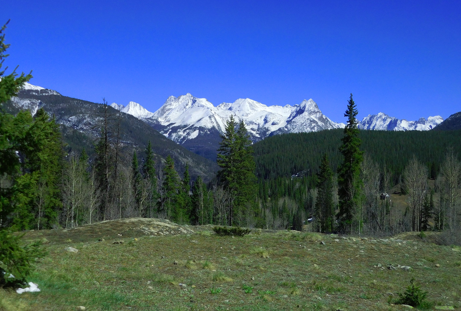
21 / 81
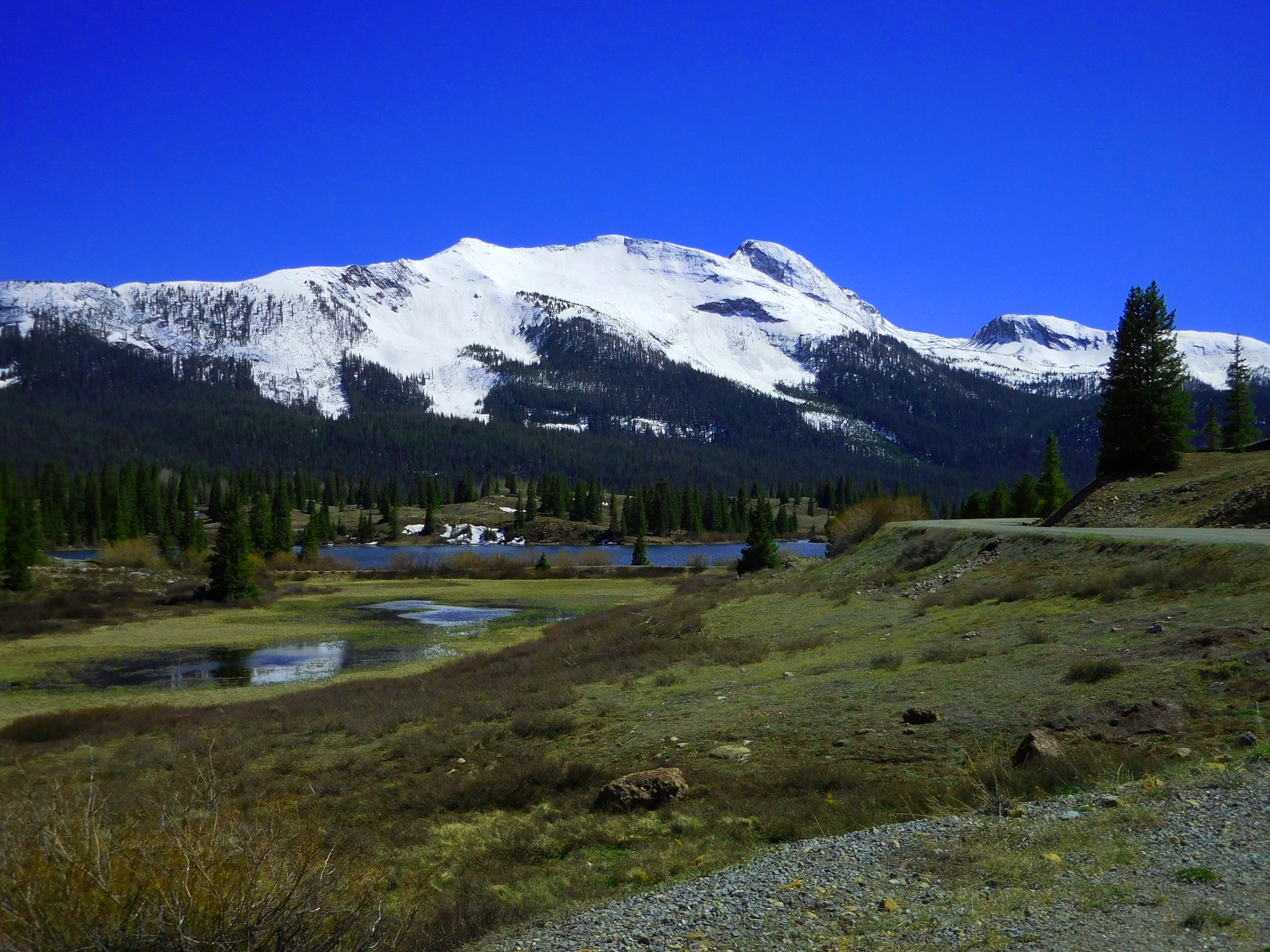
The next six slides of the Needles Mountains are from Andrews Lake, just off US 550
May 24 2021 - 3:30 pm
May 24 2021 - 3:30 pm
22 / 81
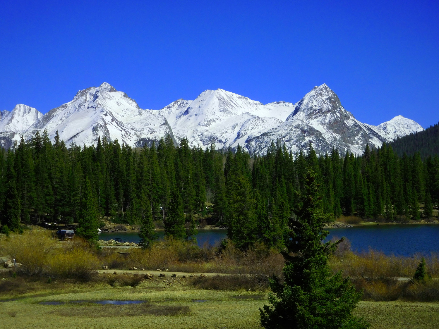
Left: Animas Mountain (13,786'), Center: North Eolus (14,039'), Mt. Eolus (14,085'), and Right: Pidgeon Peak (13,972')
May 24 2021 - 3:31 pm
May 24 2021 - 3:31 pm
23 / 81
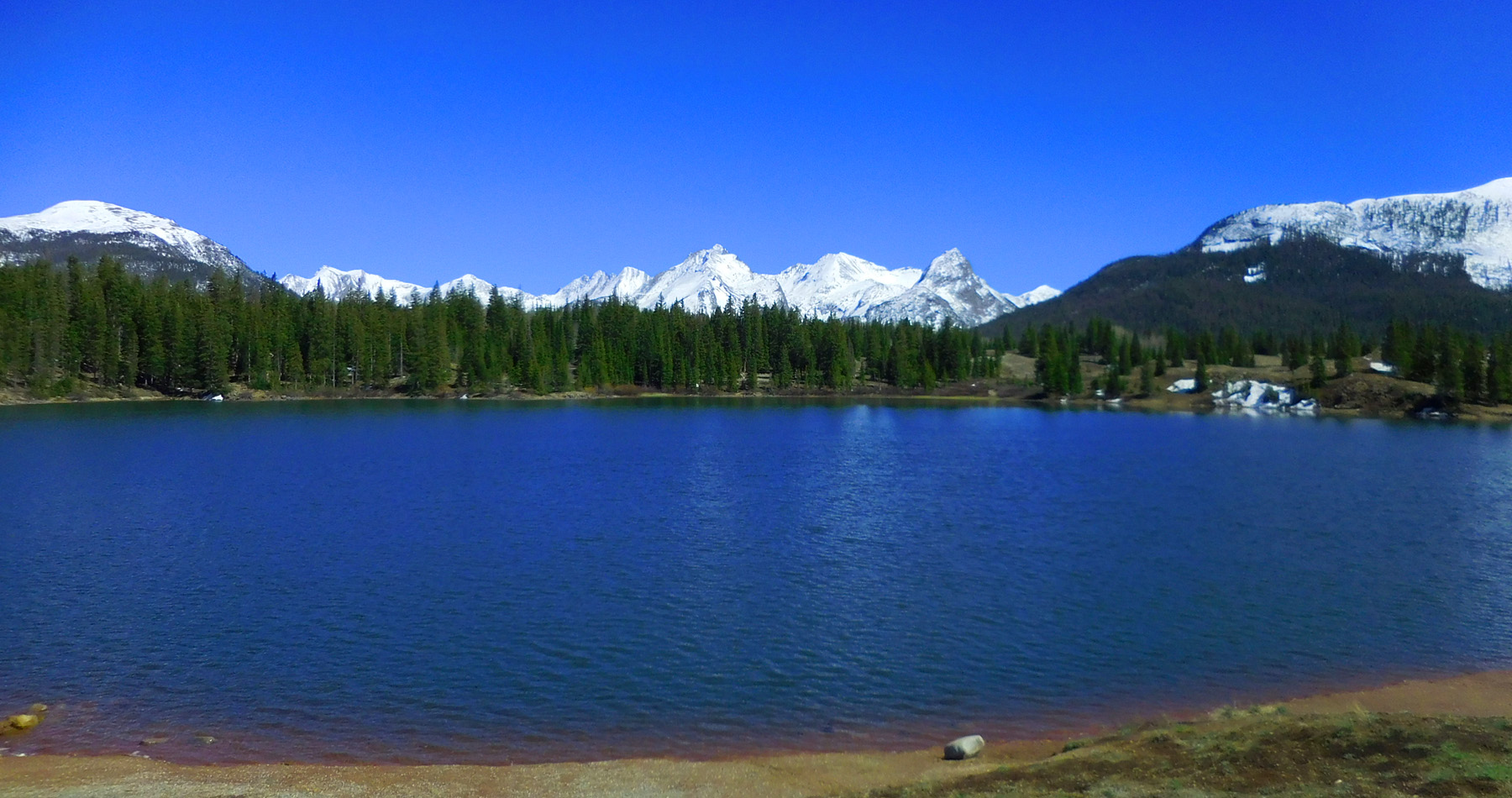
The Needles Mountains over Andrews Lake
May 24 2021 - 3:32 pm
May 24 2021 - 3:32 pm
24 / 81
Telephoto
May 24 2021 - 3:32 pm
May 24 2021 - 3:32 pm
25 / 81
Animas Mountain
May 24 2021 - 3:33 pm
May 24 2021 - 3:33 pm
26 / 81
North Eolus, Mt. Eolus, and Pidgeon Peak
May 24 2021 - 3:33 pm
May 24 2021 - 3:33 pm
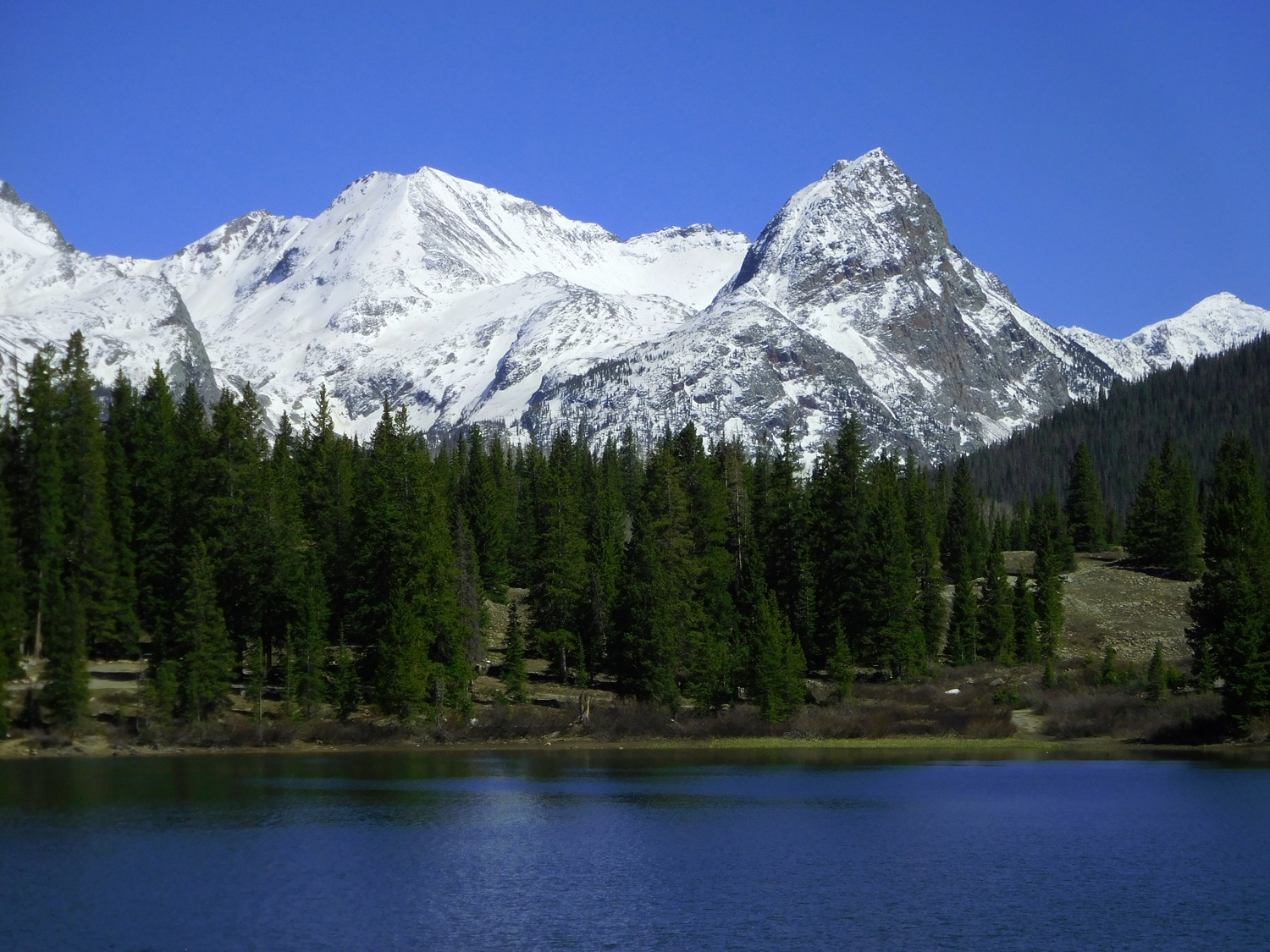
27 / 81
Over Molas Lake eight years and a week earlier, less snow
May 17 2013 - 5:21 pm
May 17 2013 - 5:21 pm
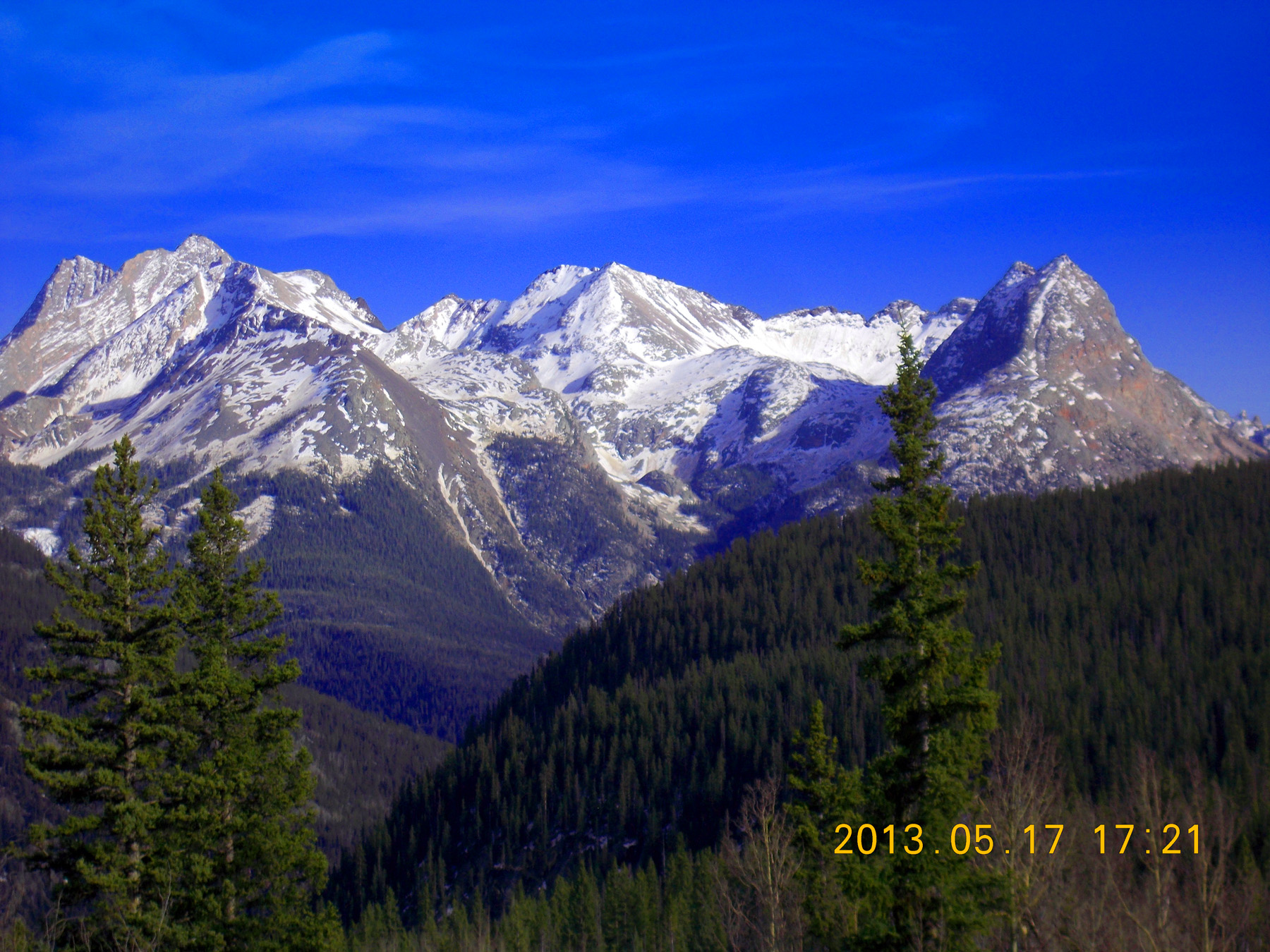
28 / 81
Late May
May 24 2021 - 3:40 pm
May 24 2021 - 3:40 pm
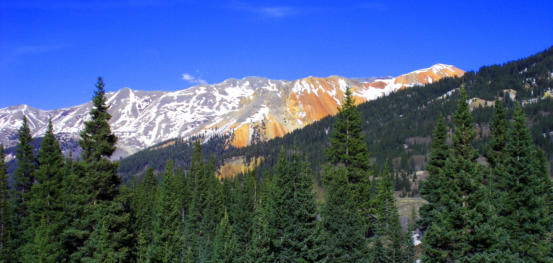
29 / 81
San Juan Tuff is cliff-forming unit in this part of the San Juan Mountains
May 24 2021 - 3:35 pm
May 24 2021 - 3:35 pm
30 / 81
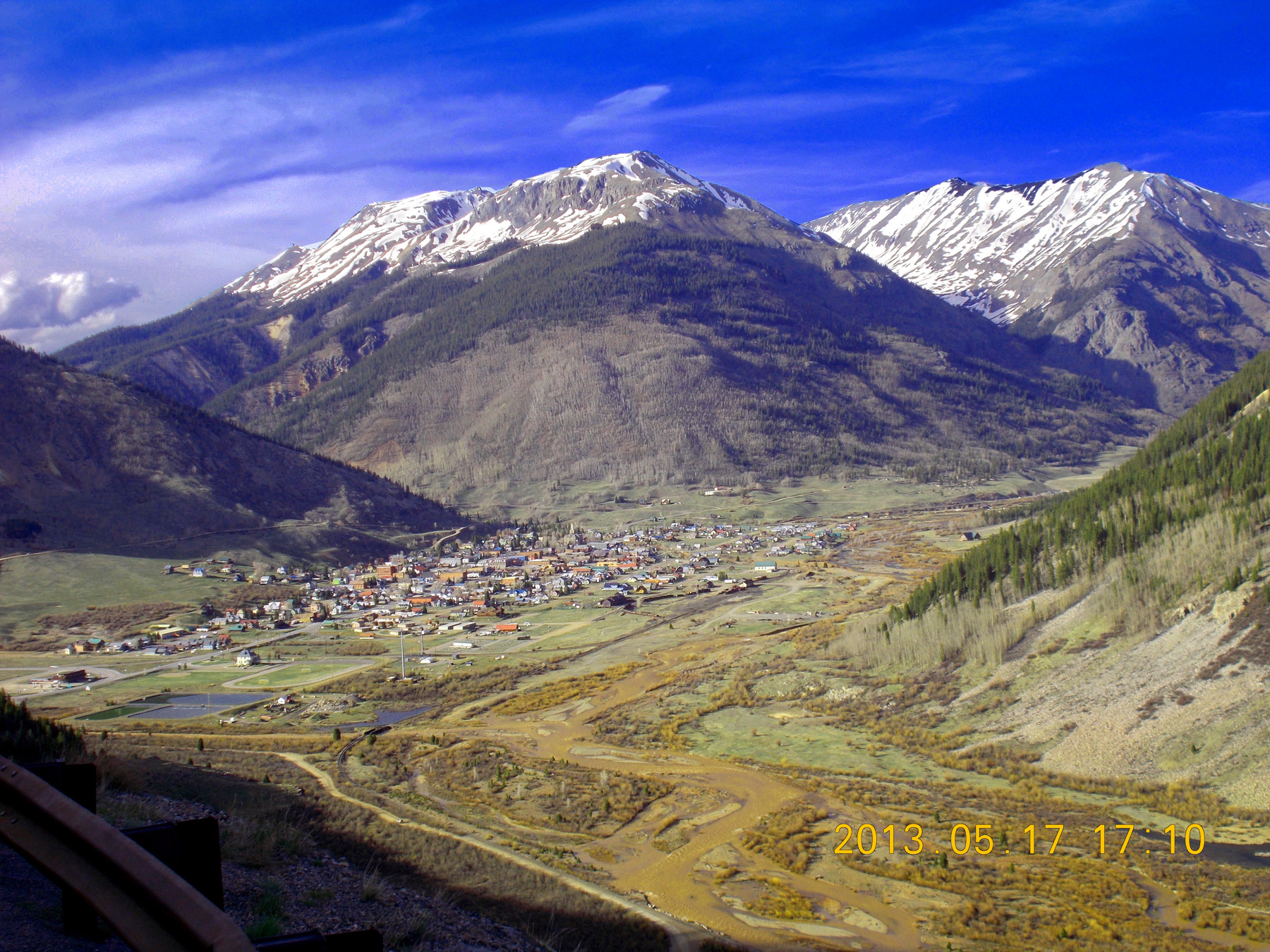
Silverton at conflunce of the Animas River (right) and Mineral Creek (left)
May 17 2013 - 5:10 pm
May 17 2013 - 5:10 pm
31 / 81
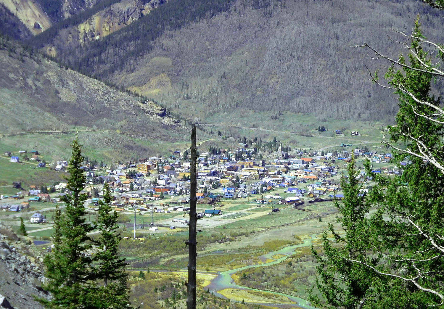
Telephoto eight years later
May 24 2021 - 3:46 pm
May 24 2021 - 3:46 pm
32 / 81
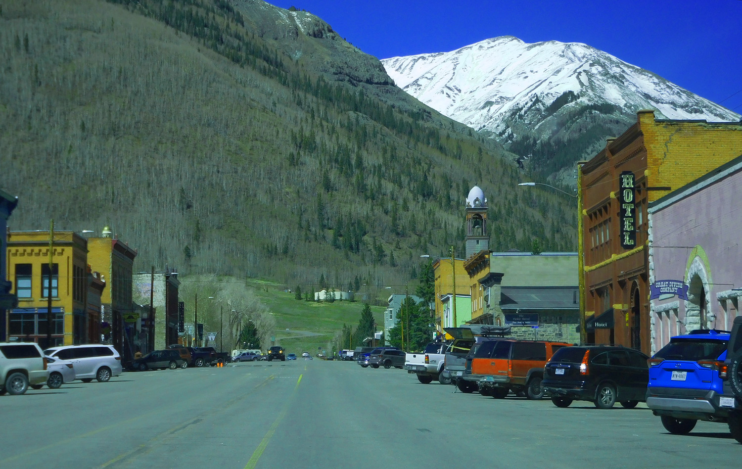
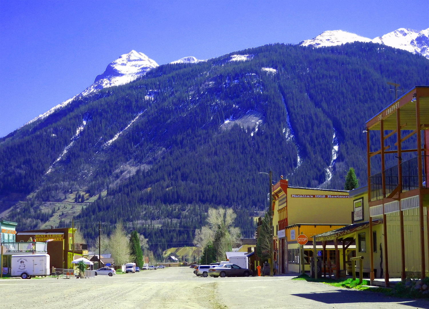
Paved Greene Street
May 24 2021 - 3:54 pm
May 24 2021 - 3:54 pm
33 / 81
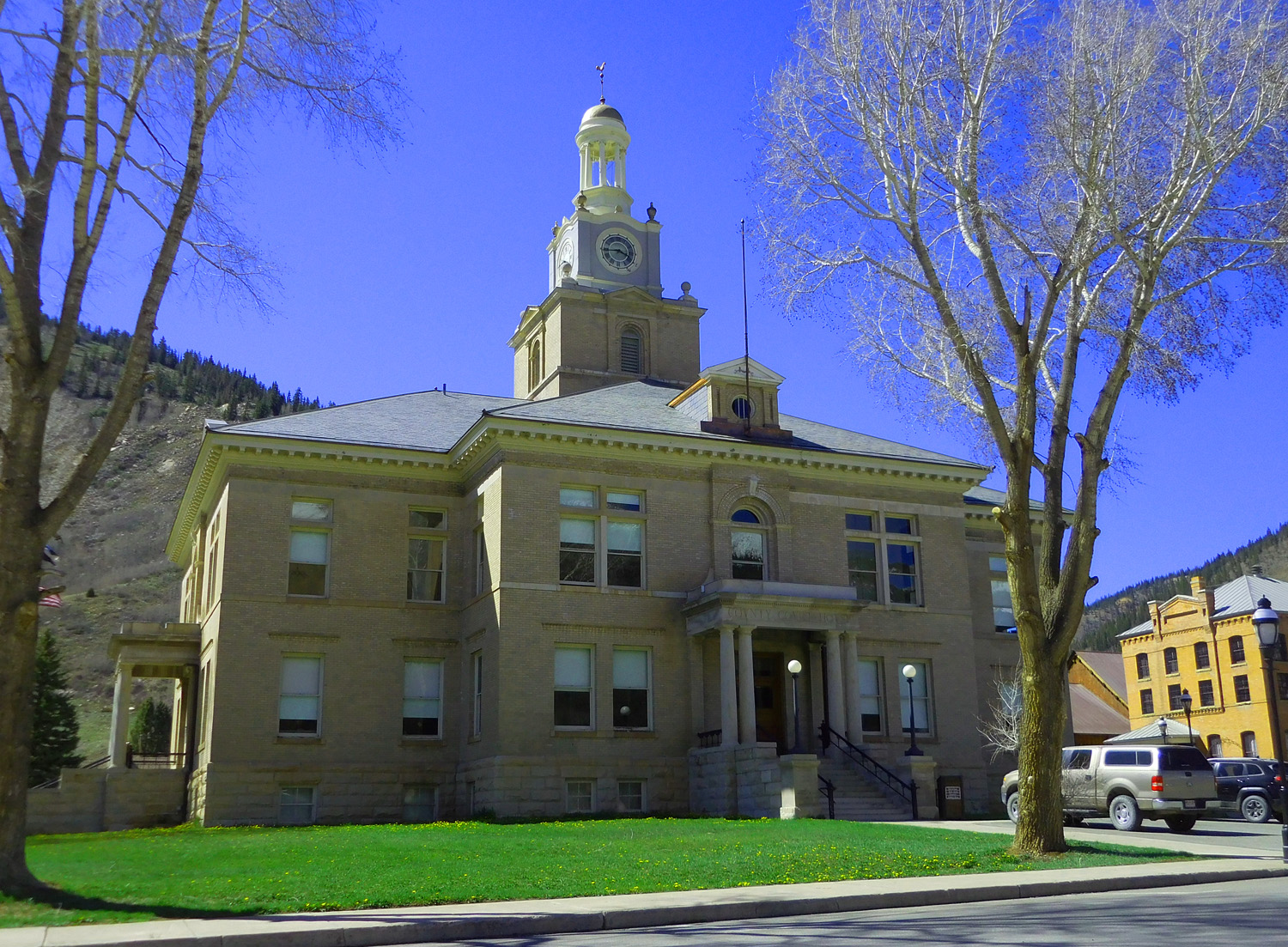
Court House on Greene Street
May 24 2021 - 3:55 pm
May 24 2021 - 3:55 pm
34 / 81
Unpaved Empire Street, one block over
May 24 2021 - 3:58 pm
May 24 2021 - 3:58 pm
35 / 81
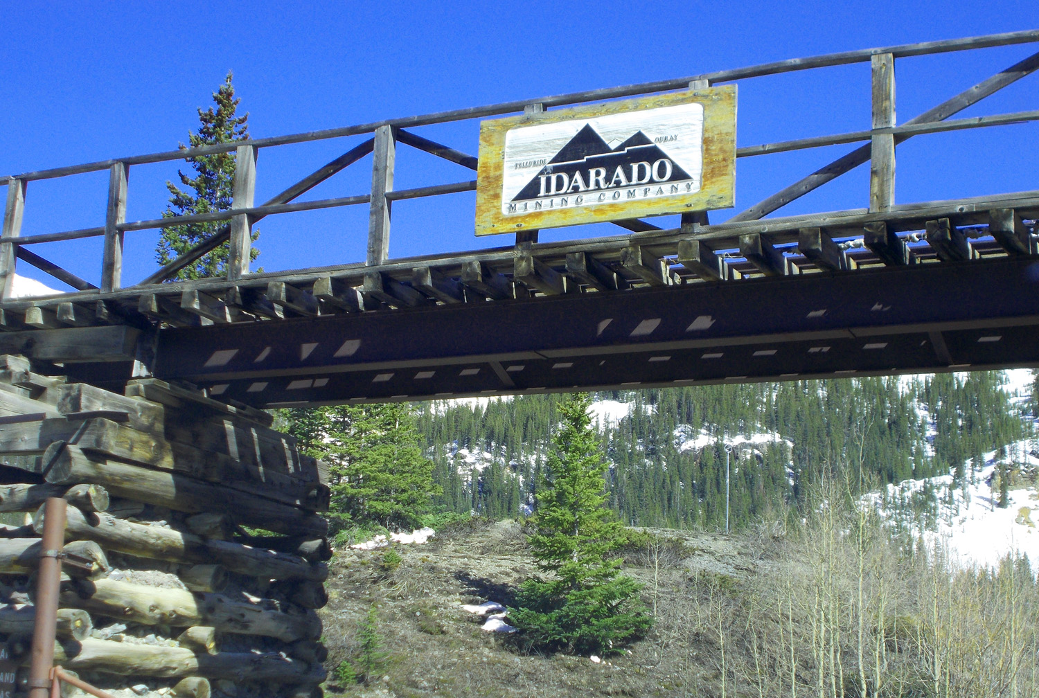
Mine at the start of Greene Street
May 24 2021 - 3:50 pm
May 24 2021 - 3:50 pm
36 / 81
Dissected Tetrahedron
May 24 2021 - 4:03 pm
May 24 2021 - 4:03 pm
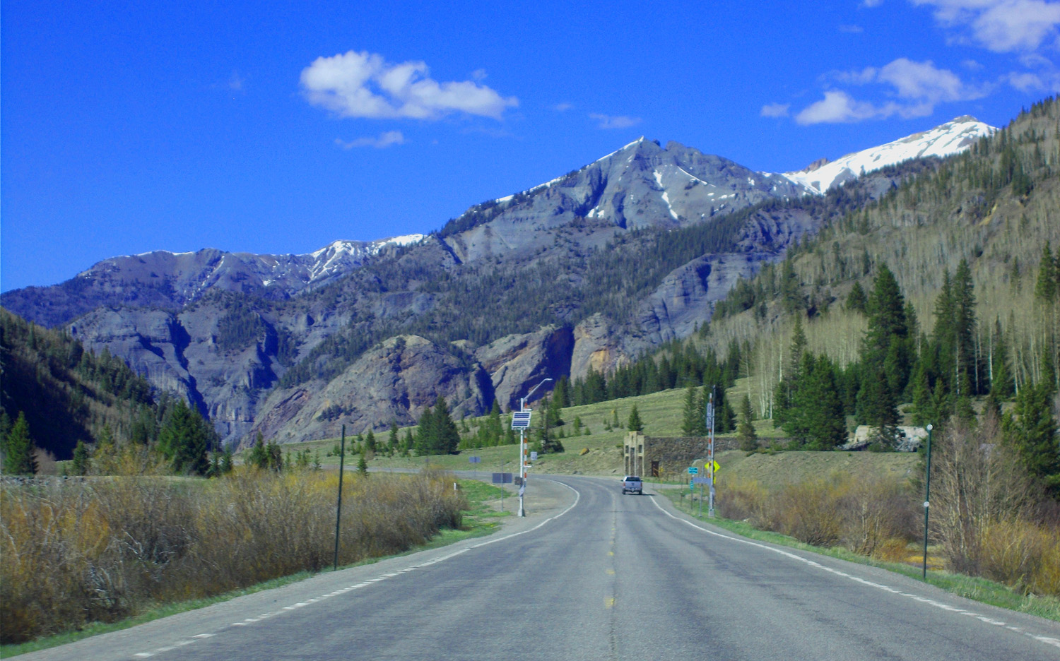
37 / 81
Crags
May 24 2021 - 4:10 pm
May 24 2021 - 4:10 pm
38 / 81
Headed up to Red Mountain Pass
May 24 2021 - 4:13 pm
May 24 2021 - 4:13 pm
39 / 81
Telephoto
May 24 2021 - 4:17 pm
May 24 2021 - 4:17 pm
40 / 81
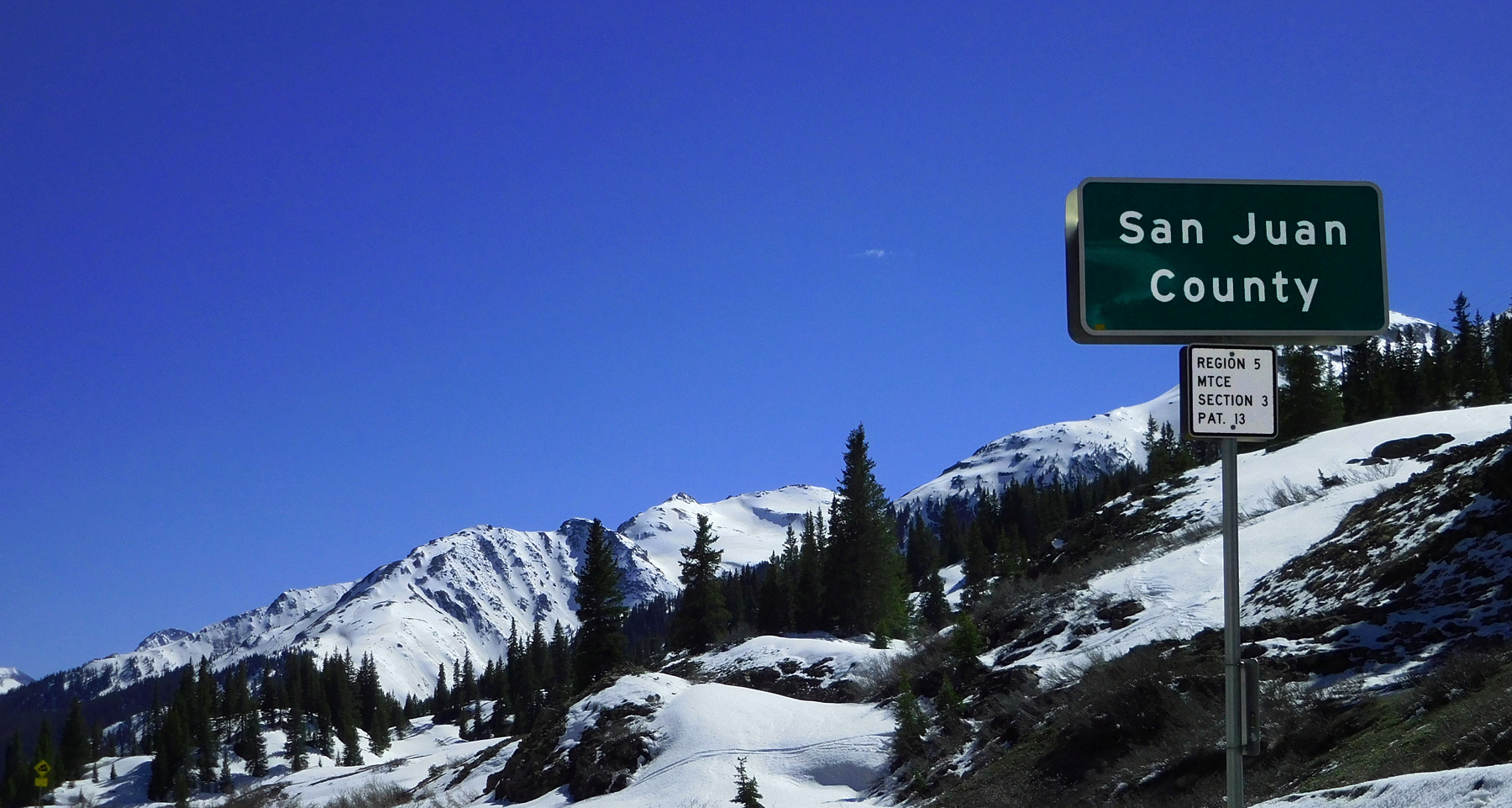
Red Mountain Pass is a divide that separates the Colorado (Red Mountain Creek) and San Juan Rivers (Mineral Creek)
and the boundary between Ouray County to the north and San Juan County to the south
May 24 2021 - 4:26 pm
and the boundary between Ouray County to the north and San Juan County to the south
May 24 2021 - 4:26 pm
41 / 81
Approaching Red Mountain
May 24 2021 - 4:30 pm
May 24 2021 - 4:30 pm
42 / 81
Gray San Juan Tuff
May 24 2021 - 4:25 pm
May 24 2021 - 4:25 pm
43 / 81
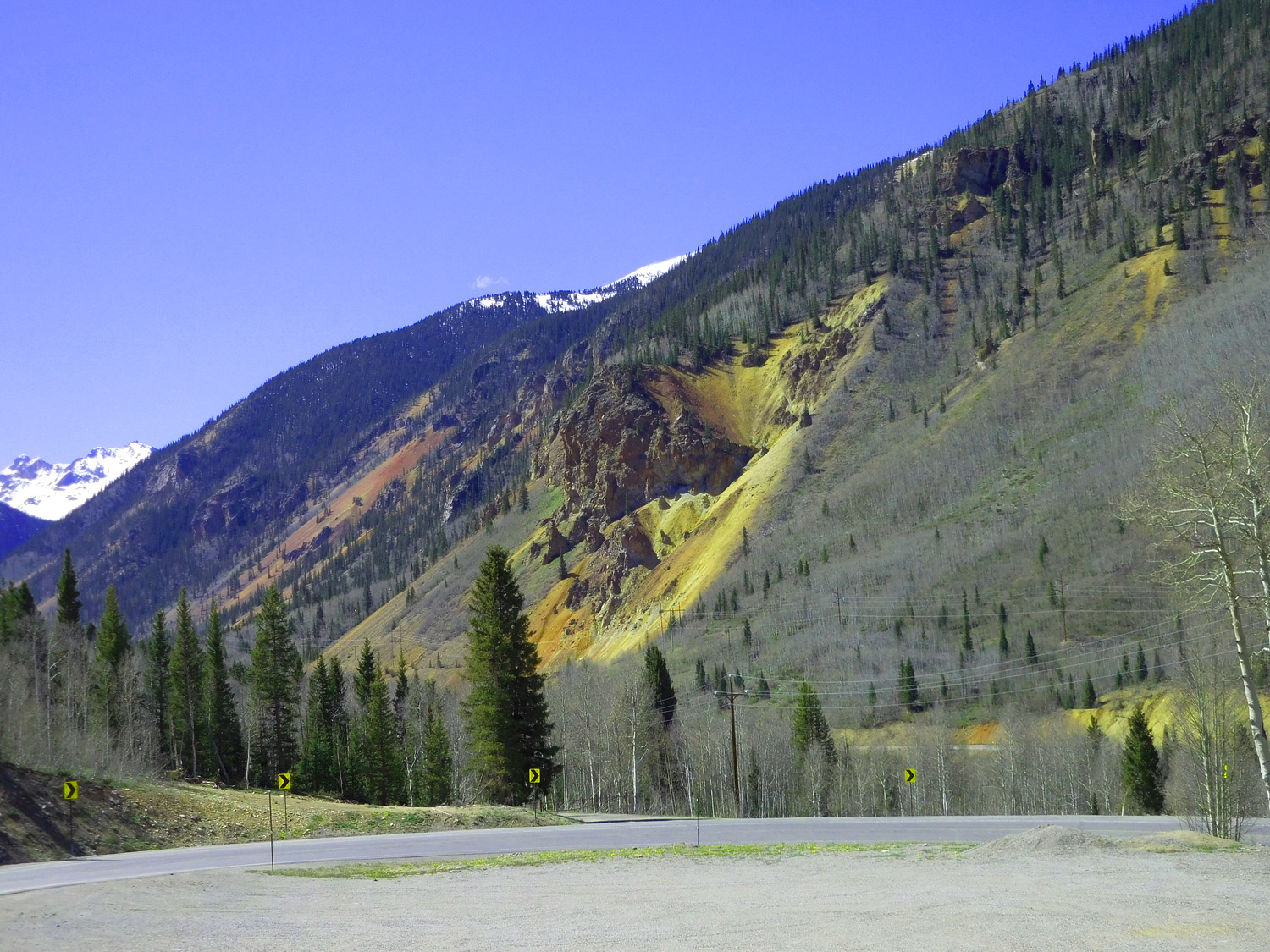
Red Mountain caldera boundary skarn zone, gray tuff outside the caldera
May 24 2021 - 4:27 pm
May 24 2021 - 4:27 pm
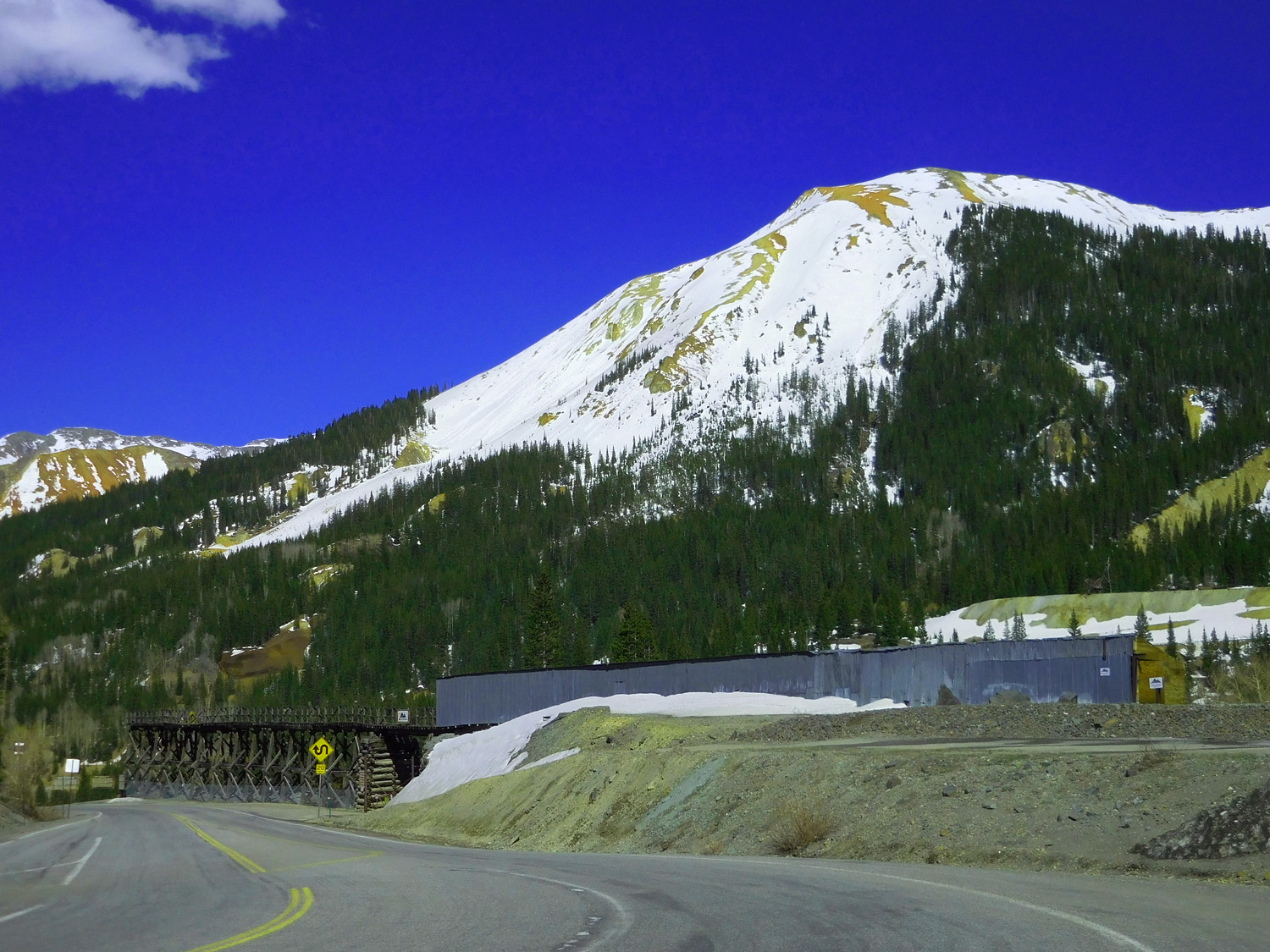
44 / 81
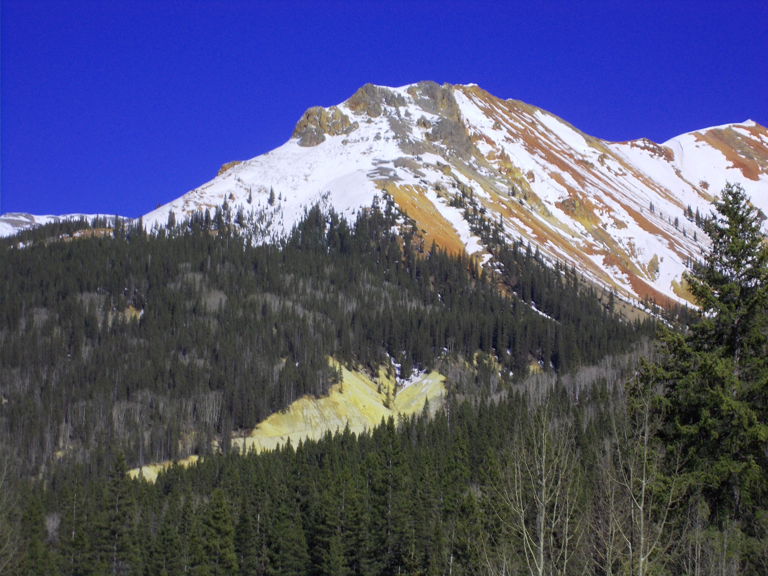
Red Mountain
May 24 2021 - 4:41 pm
May 24 2021 - 4:41 pm
45 / 81
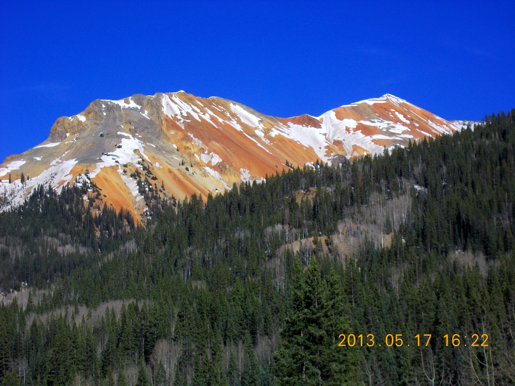
Eight years earlier
May 17 2013 - 4:22 pm
May 17 2013 - 4:22 pm
46 / 81
Less snow earlier
May 24 2021 - 4:32 pm
May 24 2021 - 4:32 pm
47 / 81
Mine reclamation site
May 24 2021 - 4:34 pm
May 24 2021 - 4:34 pm
48 / 81
Precambrian Uncomphagre Quartize covered by Miocene volcanic rocks
May 24 2021 - 4:44 pm
May 24 2021 - 4:44 pm
49 / 81
Telephoto of quartzite
May 24 2021 - 4:50 pm
May 24 2021 - 4:50 pm
50 / 81
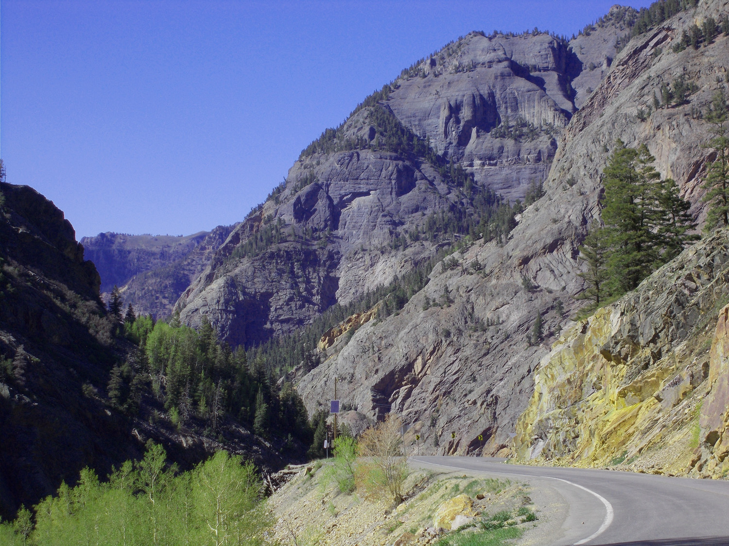
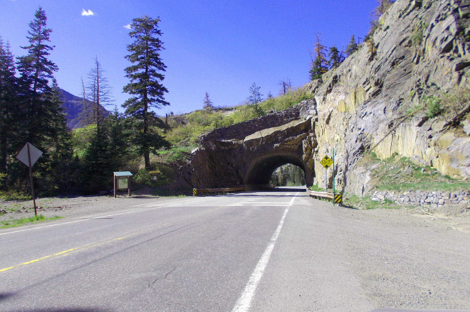
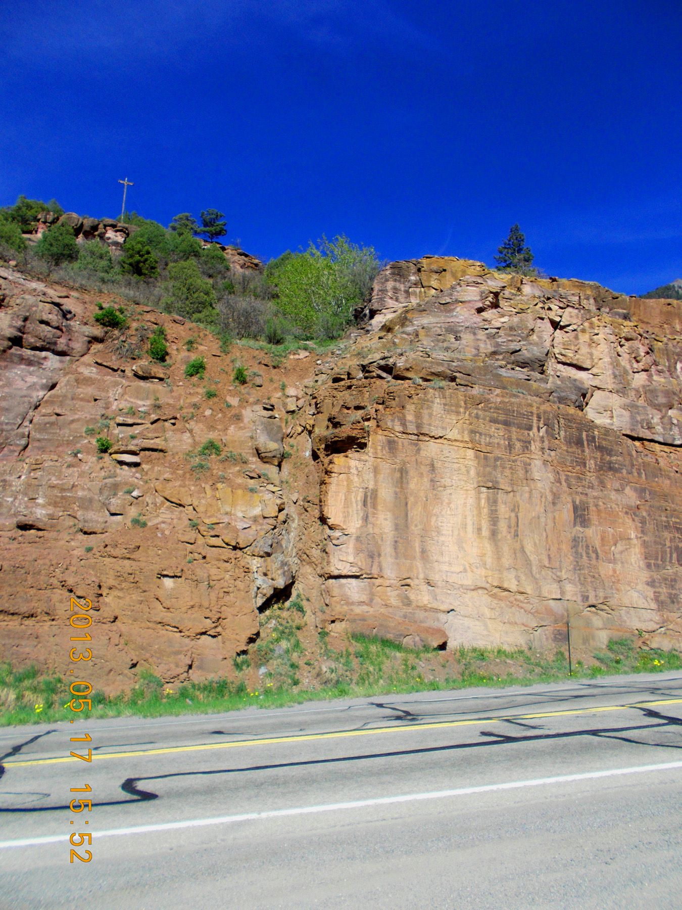
550 goes 2 miles along the quartzite cliff of Uncompahgre Gorge downstream on Red Mountain Creek which the road
has been following since Red Mountain Pass; confluence with the Uncomapaghe River at the upcoming bend in the road
May 24 2021 - 4:51 pm
has been following since Red Mountain Pass; confluence with the Uncomapaghe River at the upcoming bend in the road
May 24 2021 - 4:51 pm
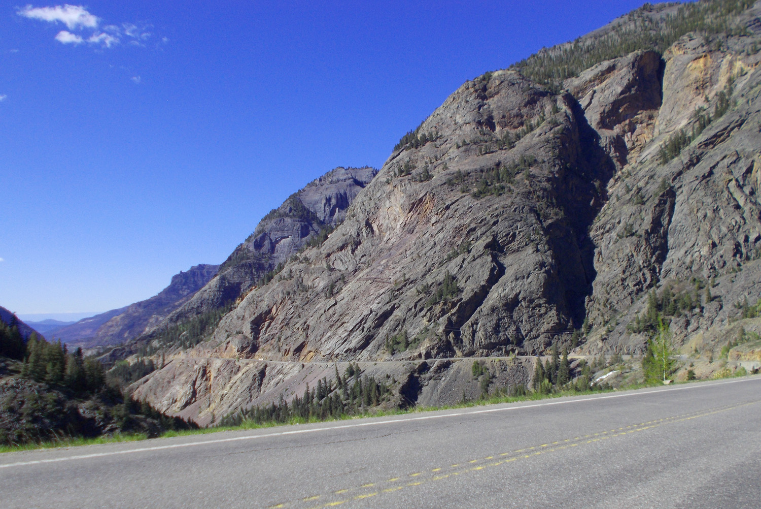
51 / 81
Last pulloff for 1 mile along the cliff
May 24 2021 - 4:54 pm
May 24 2021 - 4:54 pm
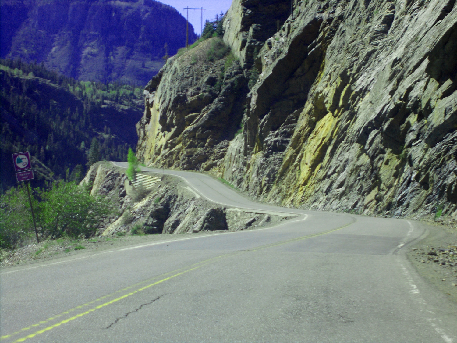
52 / 81
The cliff
May 24 2021 - 4:55 pm
May 24 2021 - 4:55 pm
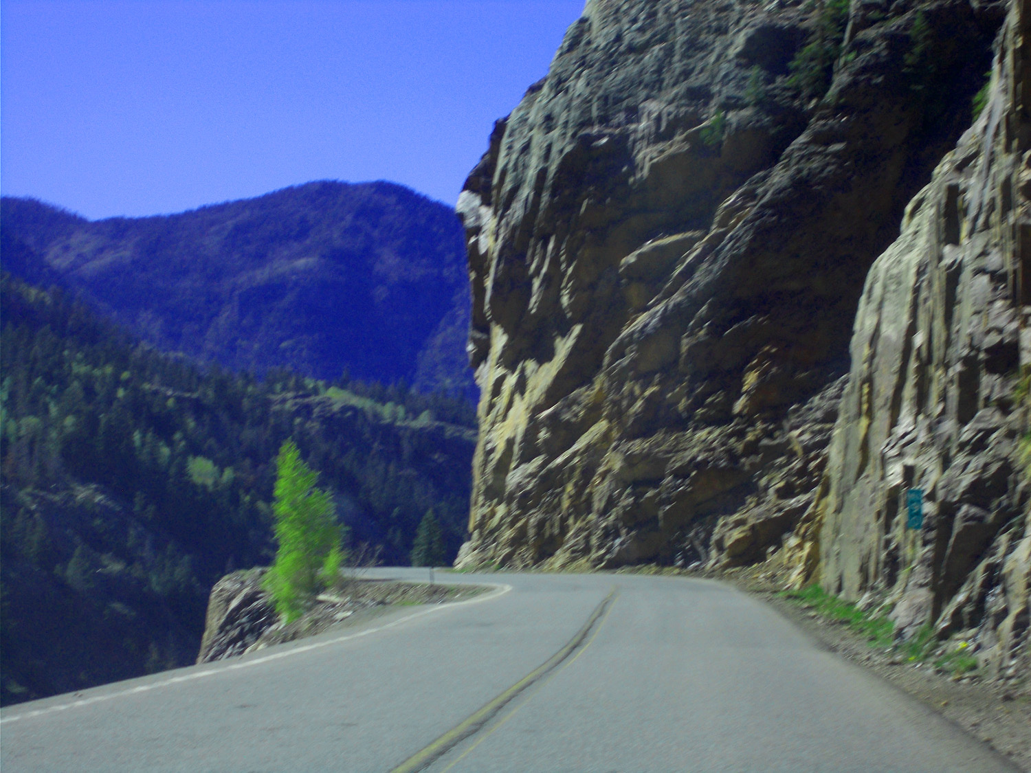
53 / 81
Whew ....!
May 24 2021 - 5:02 pm
May 24 2021 - 5:02 pm
54 / 81
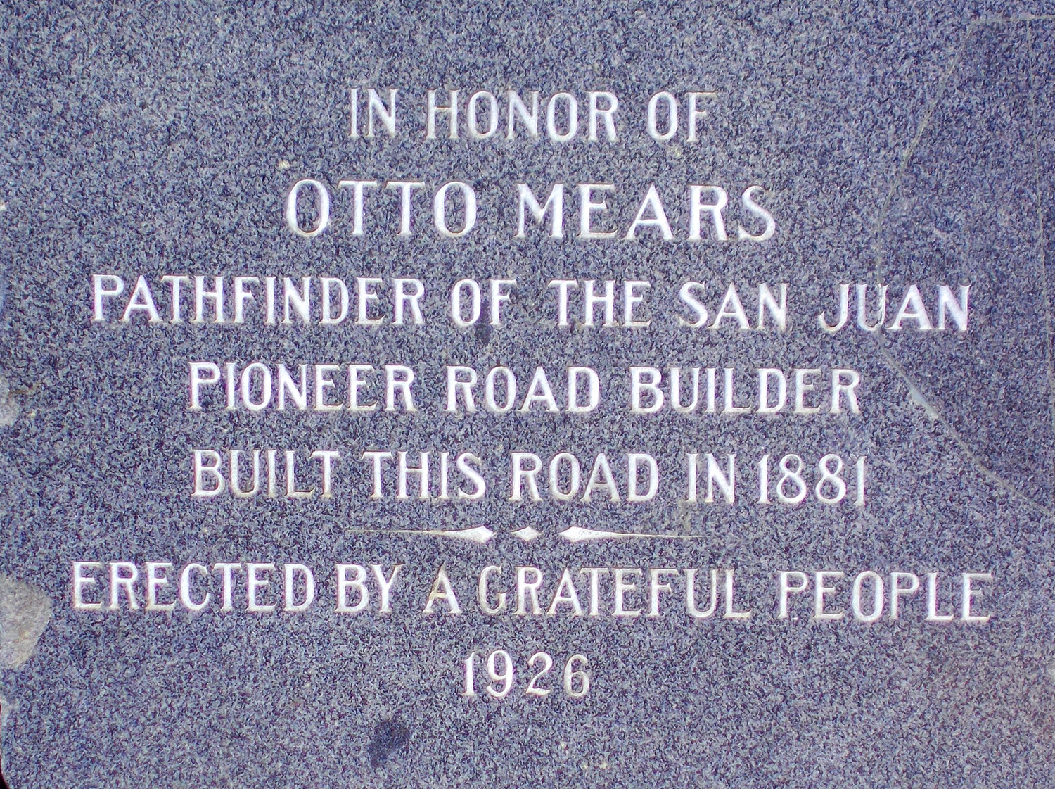
Otto Mears Memorial
May 24 2021 - 5:00 pm
May 24 2021 - 5:00 pm
55 / 81
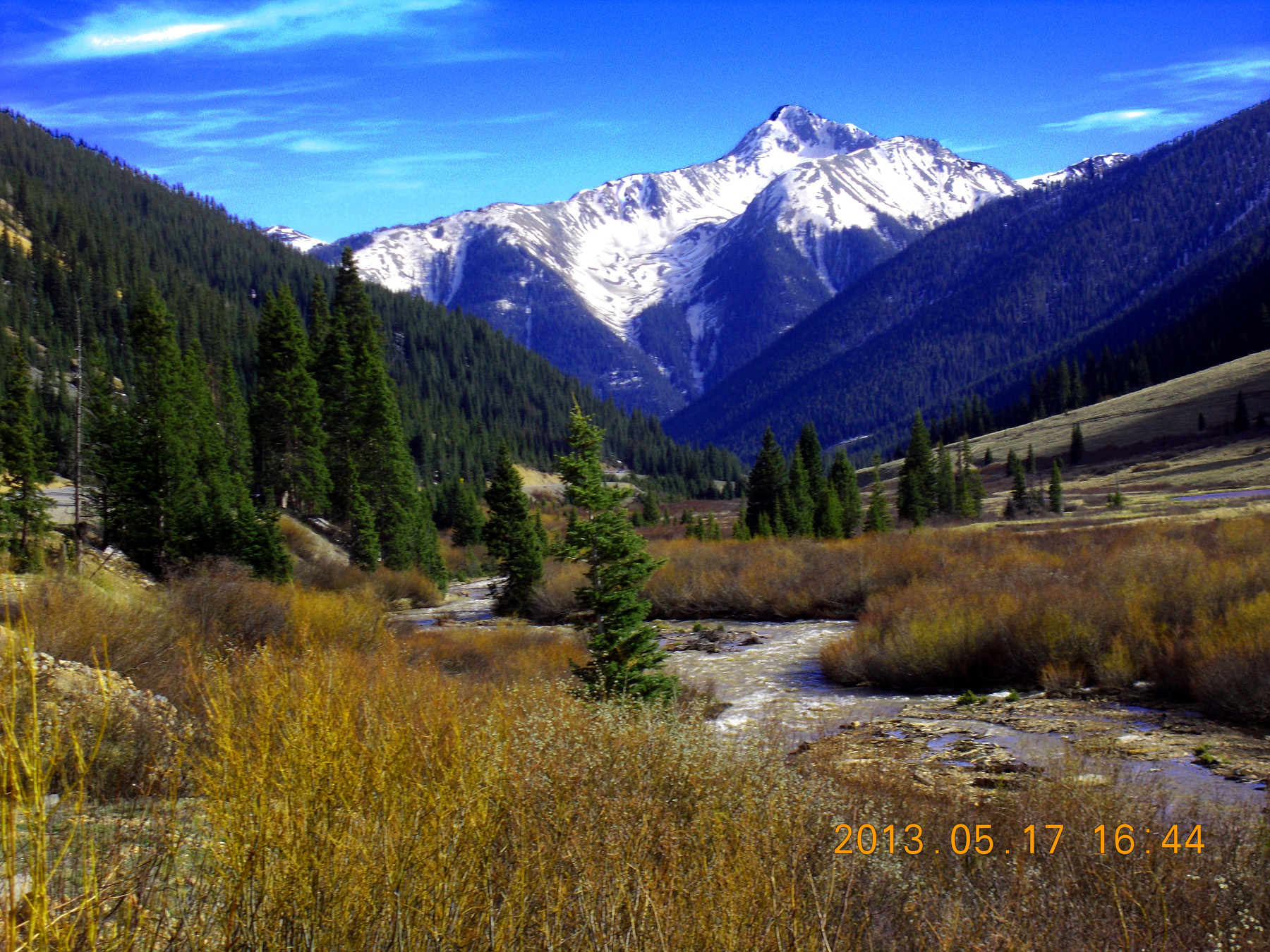
Abrams Mountain (12,801') at the head of the Uncompahgre River
May 17 2013 - 4:44 pm
May 17 2013 - 4:44 pm
56 / 81
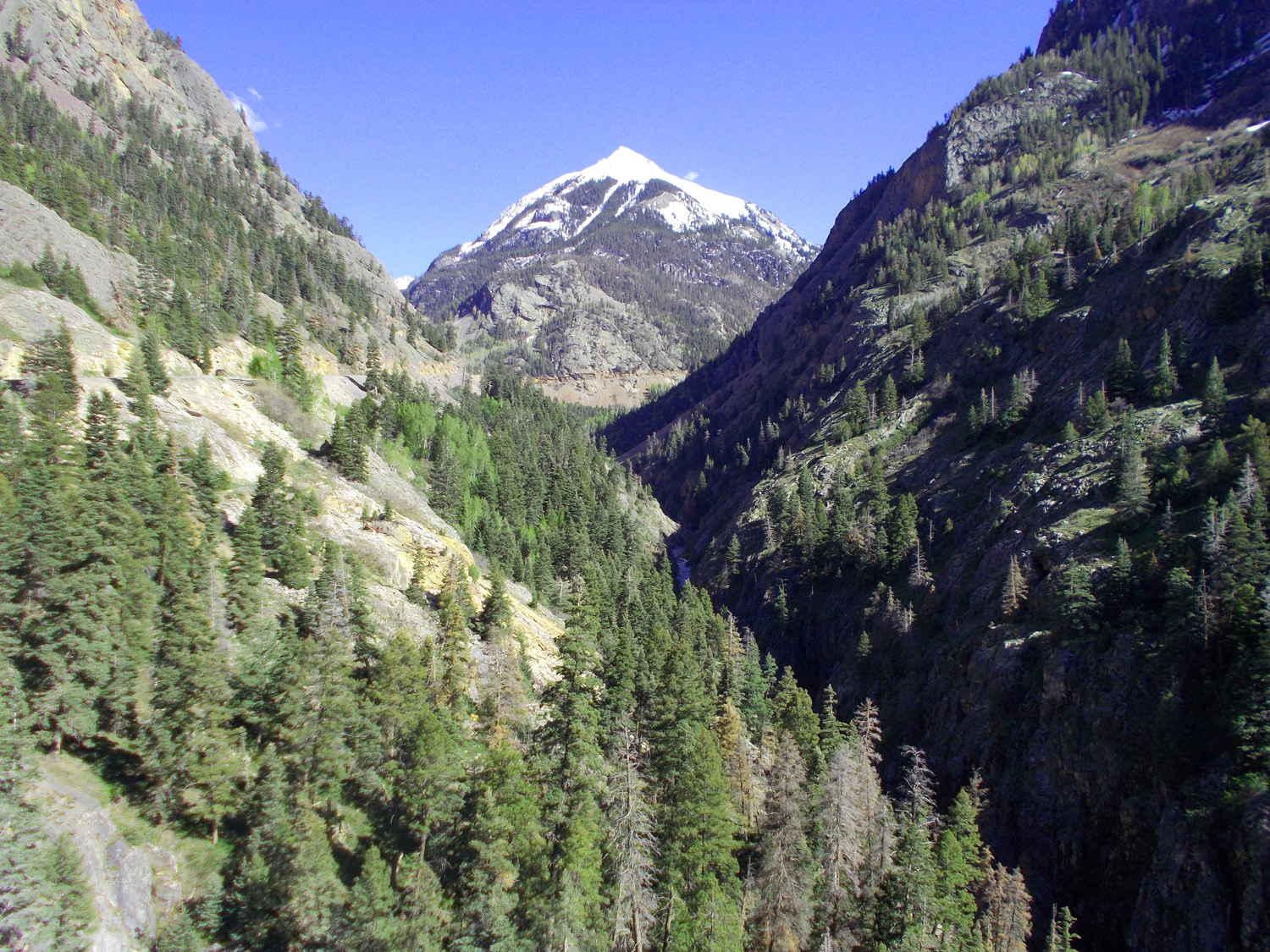
Abrams Mountain half mile north where the river enters Uncompahgre Gorge
May 24 2021 - 4:56 pm
May 24 2021 - 4:56 pm
57 / 81
Waterfall on a tributary to the Uncompahge River (note giant ripple marks on bedding of the Uncompahgre Quartize)
May 24 2021 - 4:58 pm
May 24 2021 - 4:58 pm
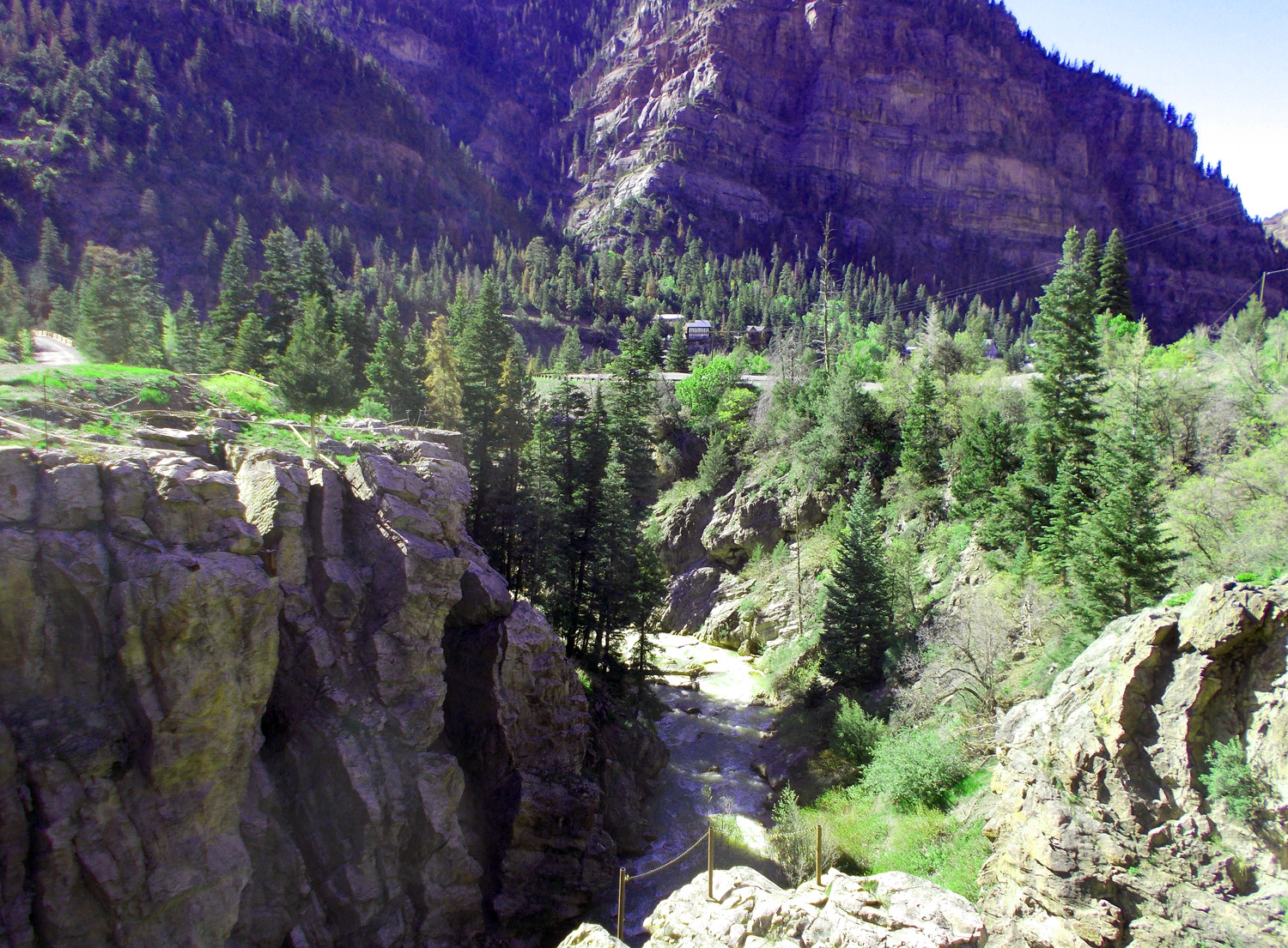
58 / 81
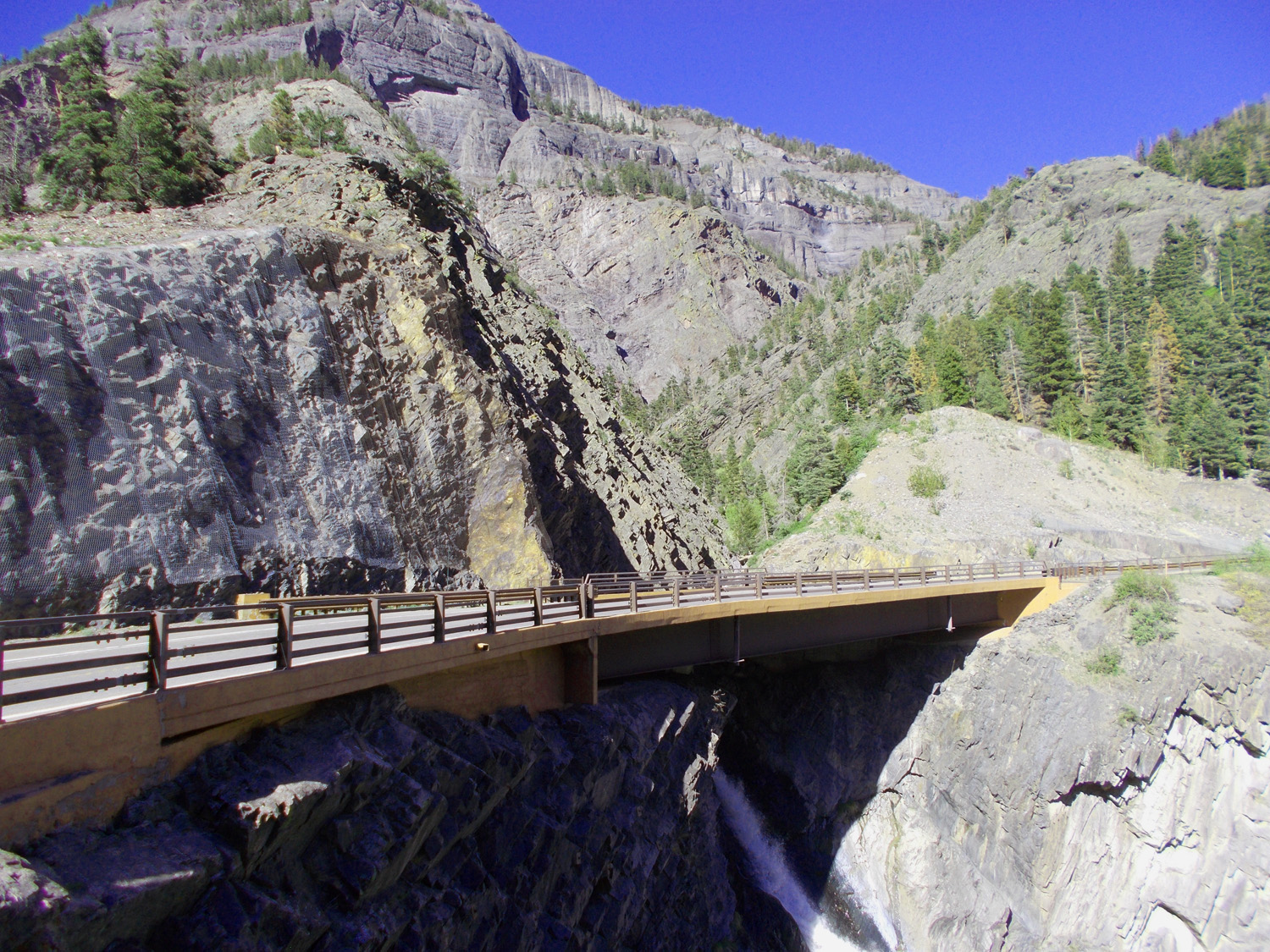
US 550 passes over Bear Creek at Box Canyon Falls
May 24 2021 - 4:59 pm
May 24 2021 - 4:59 pm
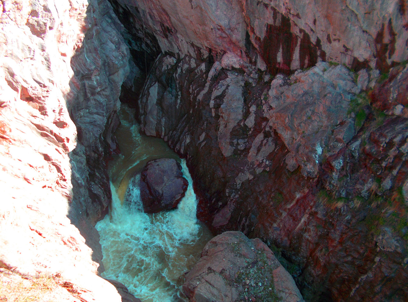
59 / 81
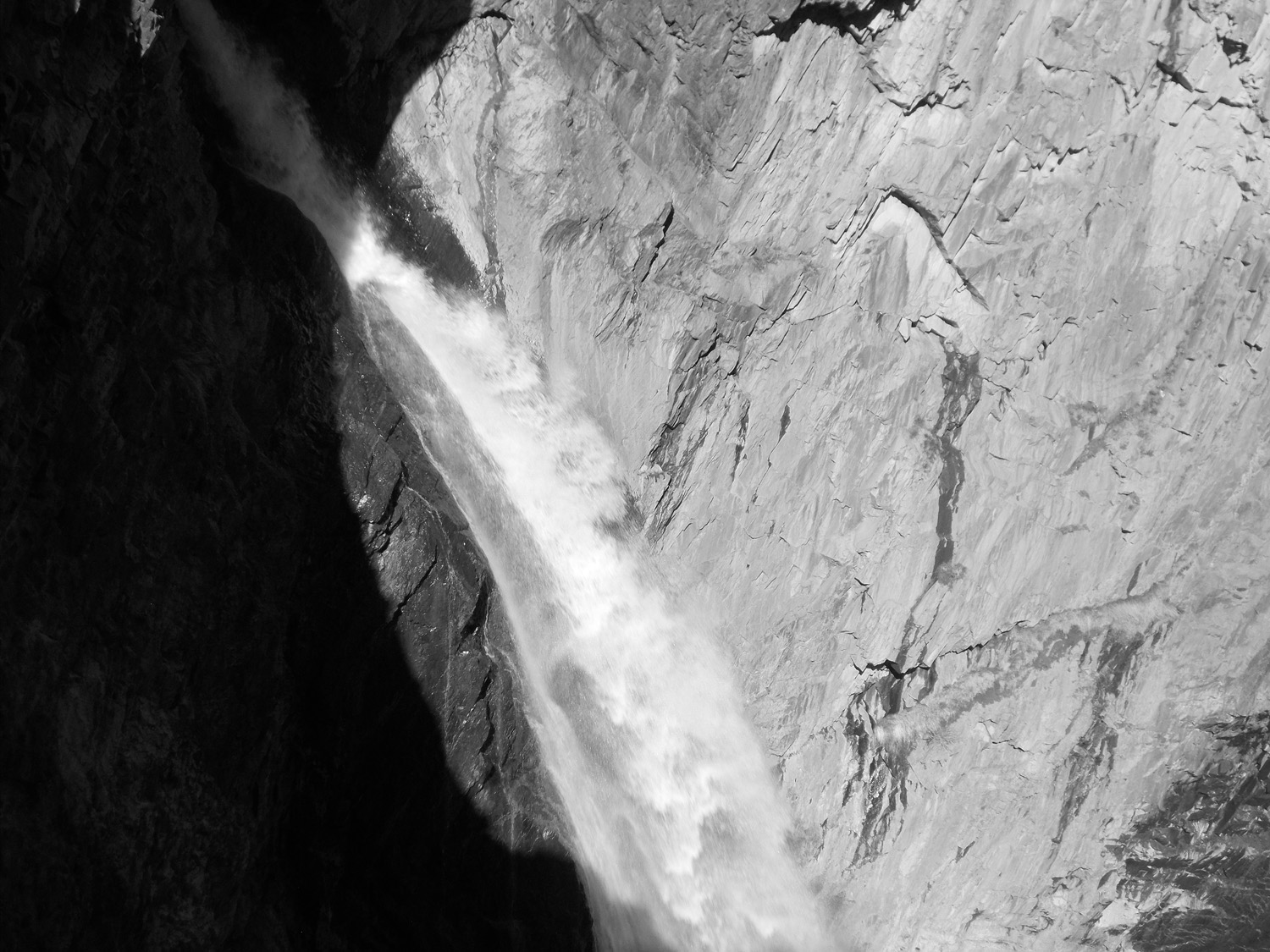
Box Canyon Falls
May 24 2021 - 4:59 pm
May 24 2021 - 4:59 pm
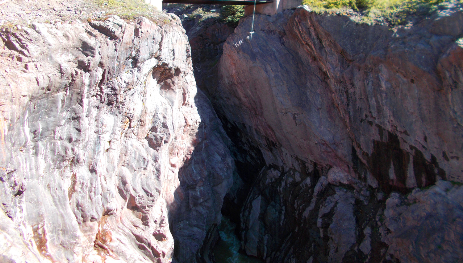
60 / 81
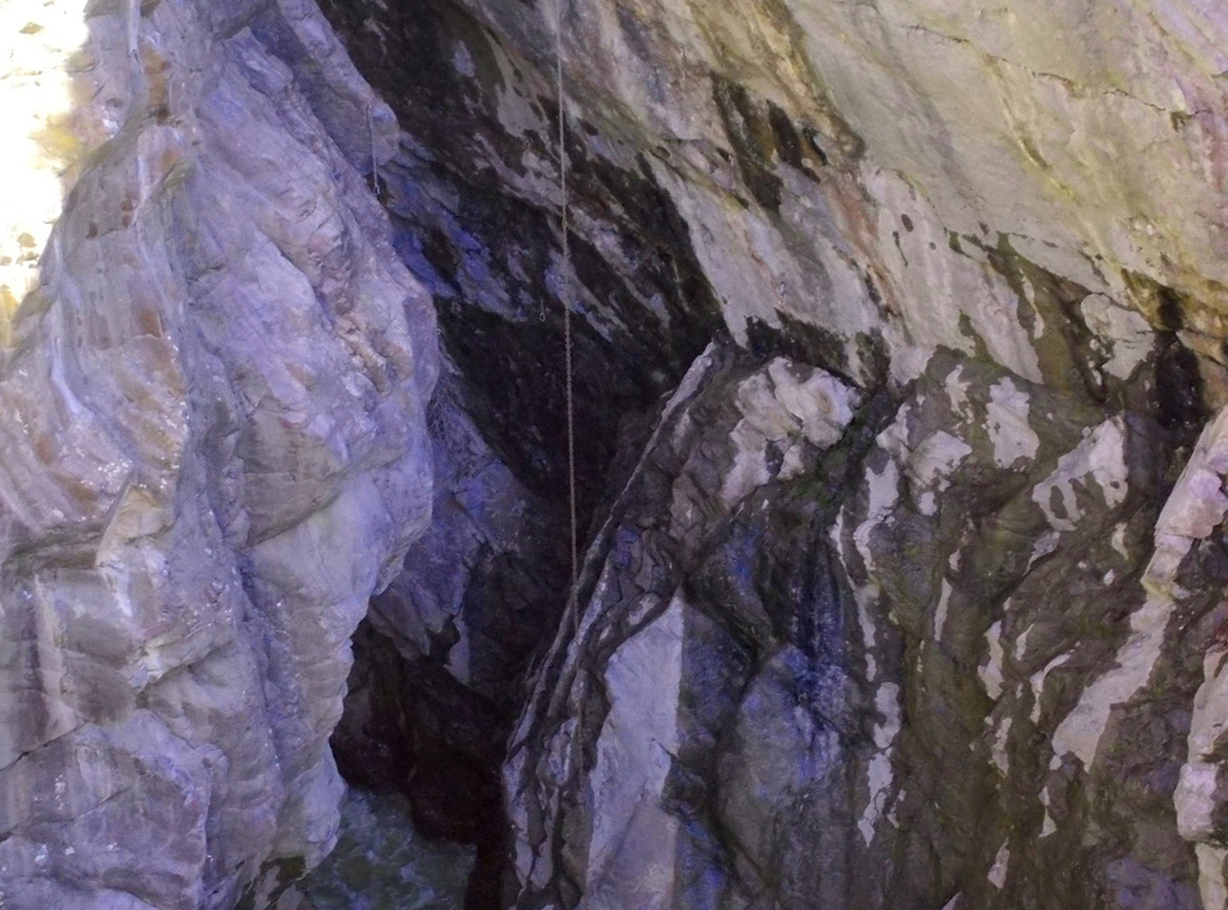
Deep in the falls, the river is barely visible at lower left
May 24 2021 - 5:16 pm
May 24 2021 - 5:16 pm
61 / 81
Better view of the river after slashing through pure quartz
May 24 2021 - 5:15 pm
May 24 2021 - 5:15 pm
62 / 81
120 feet into the glacial surface
May 24 2021 - 5:15 pm
May 24 2021 - 5:15 pm
63 / 81
Downstream
May 24 2021 - 5:16 pm
May 24 2021 - 5:16 pm
64 / 81
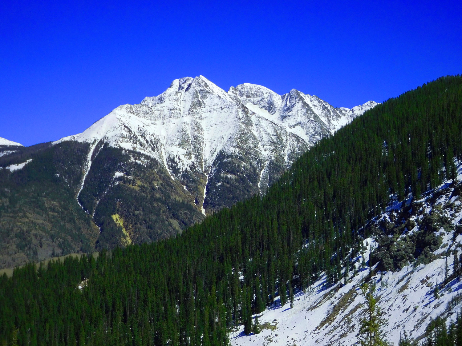
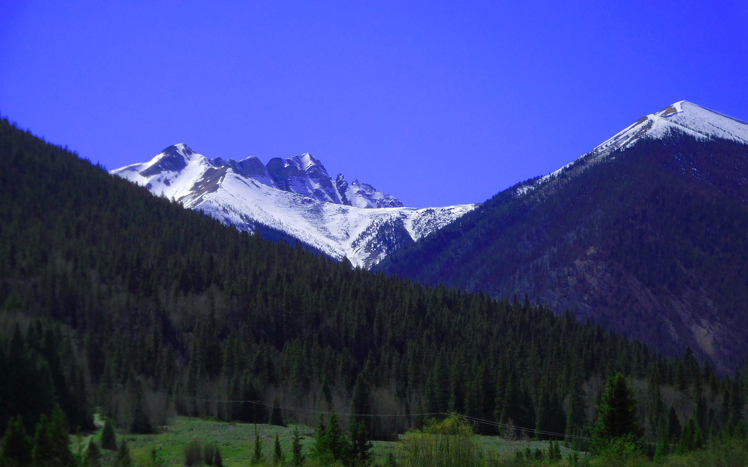
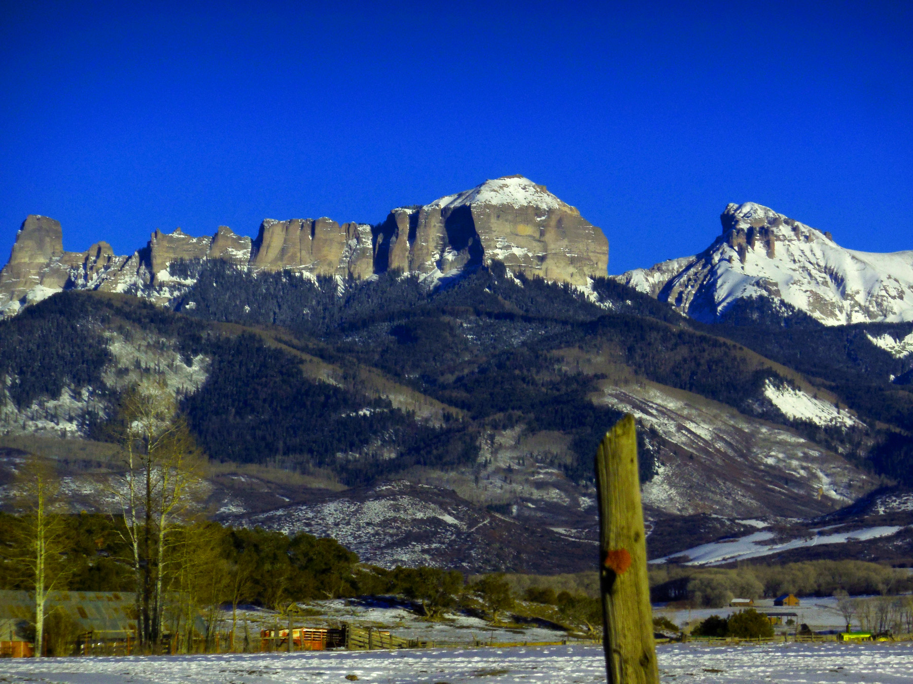
Ridgway Peak (13,468') and Whitehouse Mountain (13,492') from the south
May 24 2021 - 5:07 pm
May 24 2021 - 5:07 pm
65 / 81
Green San Juans
May 24 2021 - 5:08 pm
May 24 2021 - 5:08 pm
66 / 81
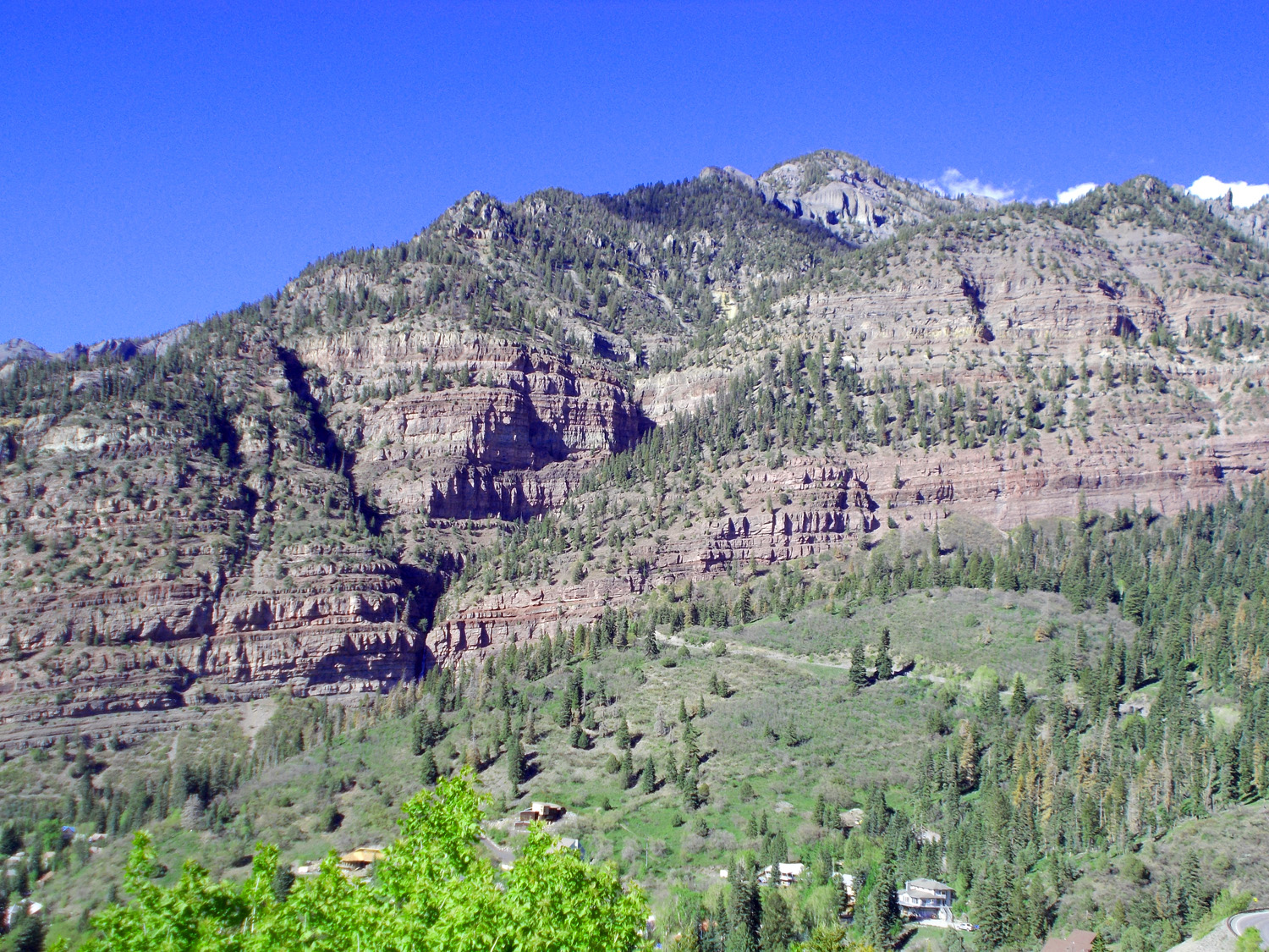
Pennsylvanian Maroon/Hermosa Formation
May 24 2021 - 5:07 pm
May 24 2021 - 5:07 pm
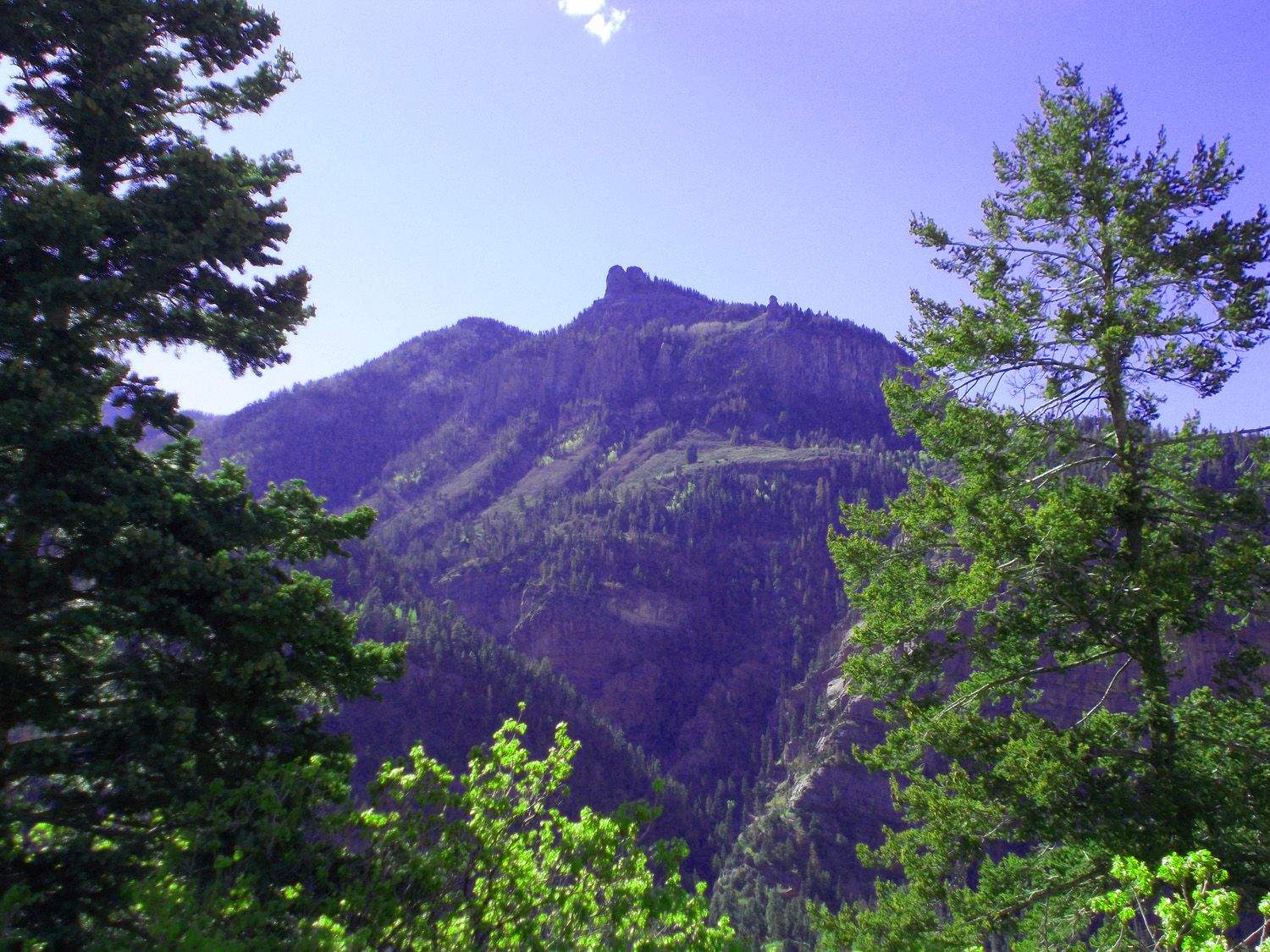
67 / 81
Pennslyvanian (left) next to uplifted Precambrian (right)
May 17 2013 - 3:52 pm
May 17 2013 - 3:52 pm
68 / 81
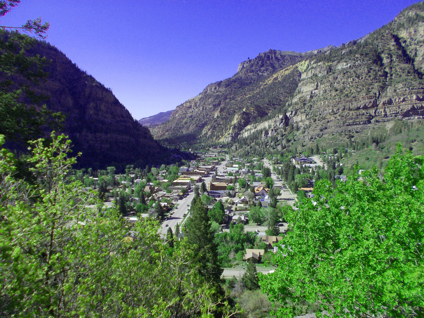
Ouray
May 24 2021 - 5:07 pm
May 24 2021 - 5:07 pm
69 / 81
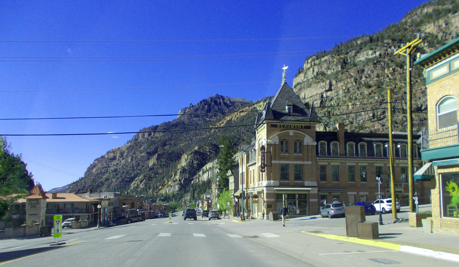
Ouray Main Street
May 24 2021 - 5:21 pm
May 24 2021 - 5:21 pm
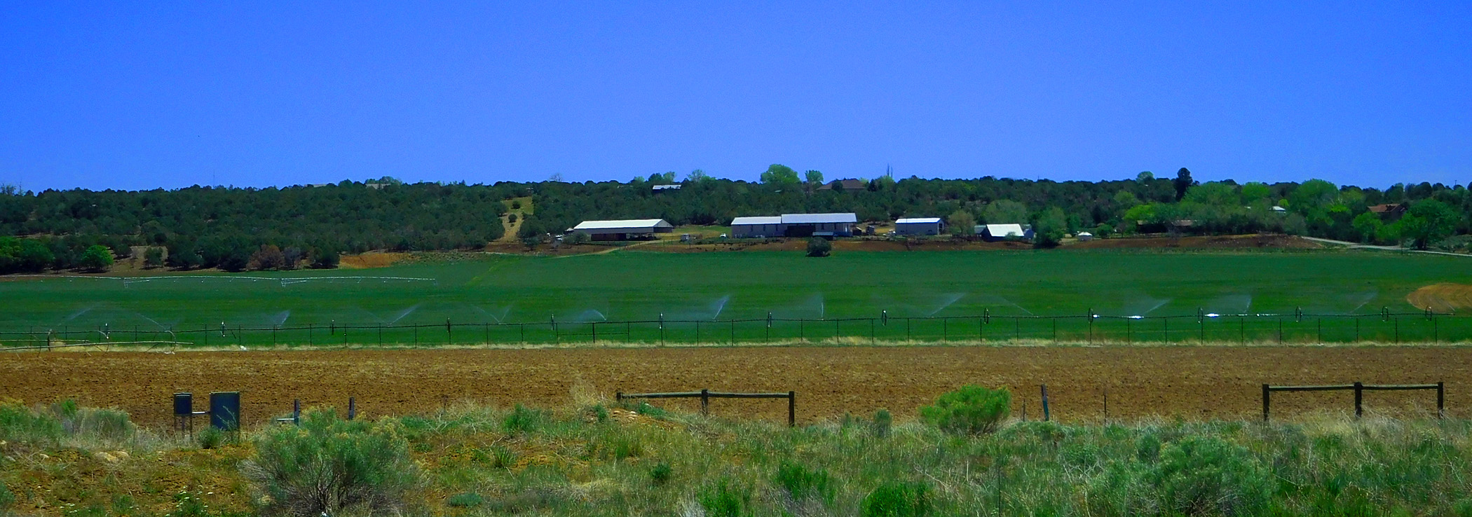
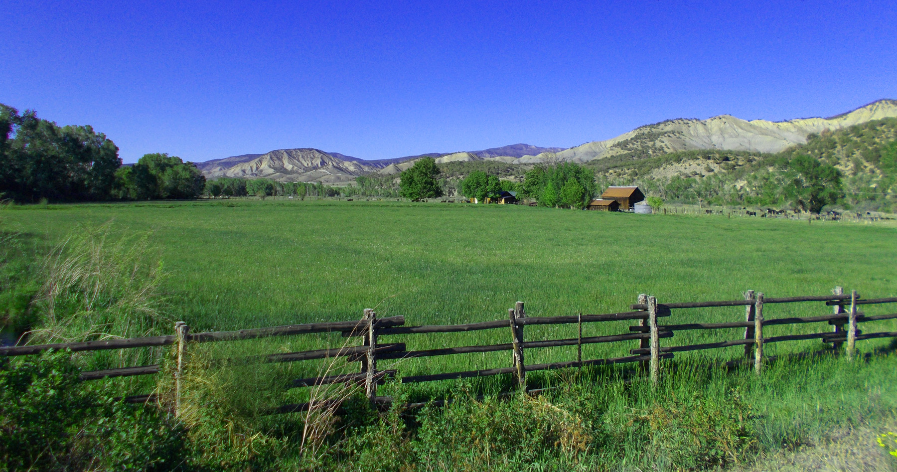
70 / 81
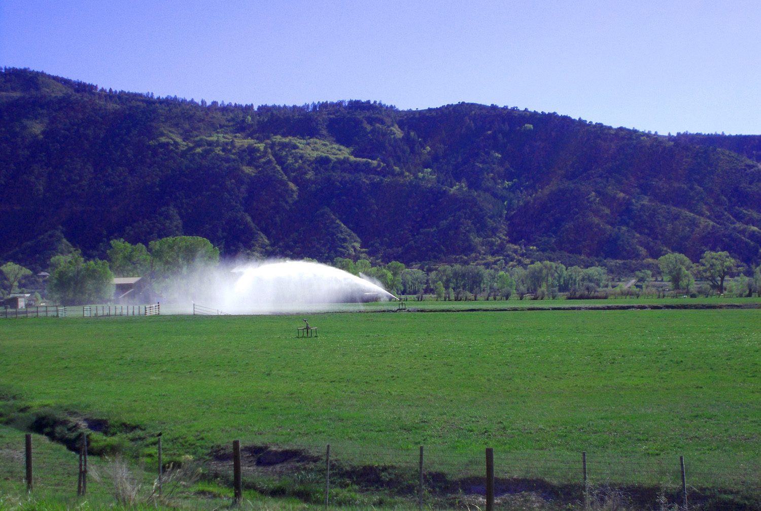
Flat enough to irrigate downstream from Ouray
May 24 2021 - 5:38 pm
May 24 2021 - 5:38 pm
71 / 81
Ridgway Peak (13,468') and Whitehouse Mountain (13,492') from the north
May 17 2013 - 3:44 pm
May 17 2013 - 3:44 pm
72 / 81
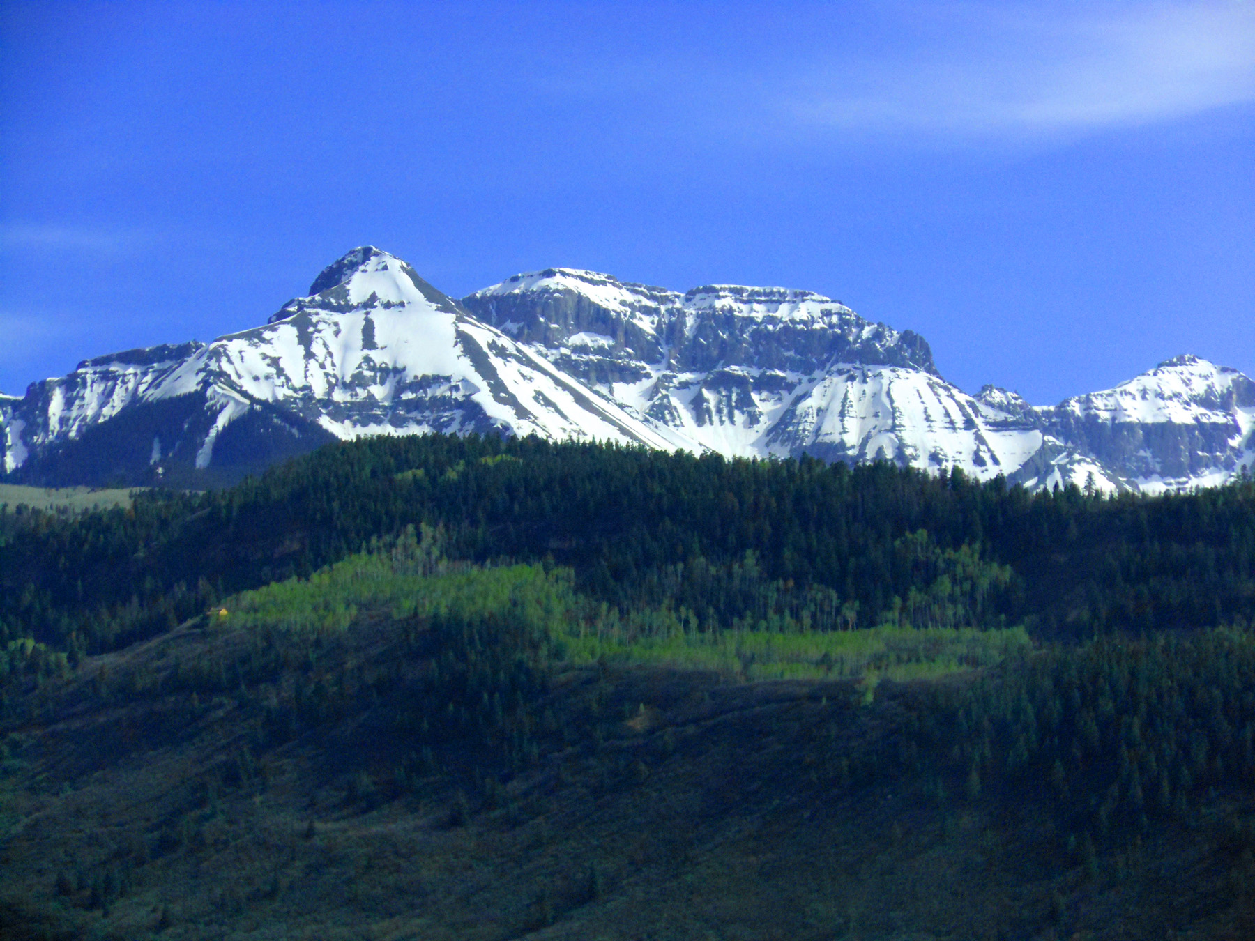
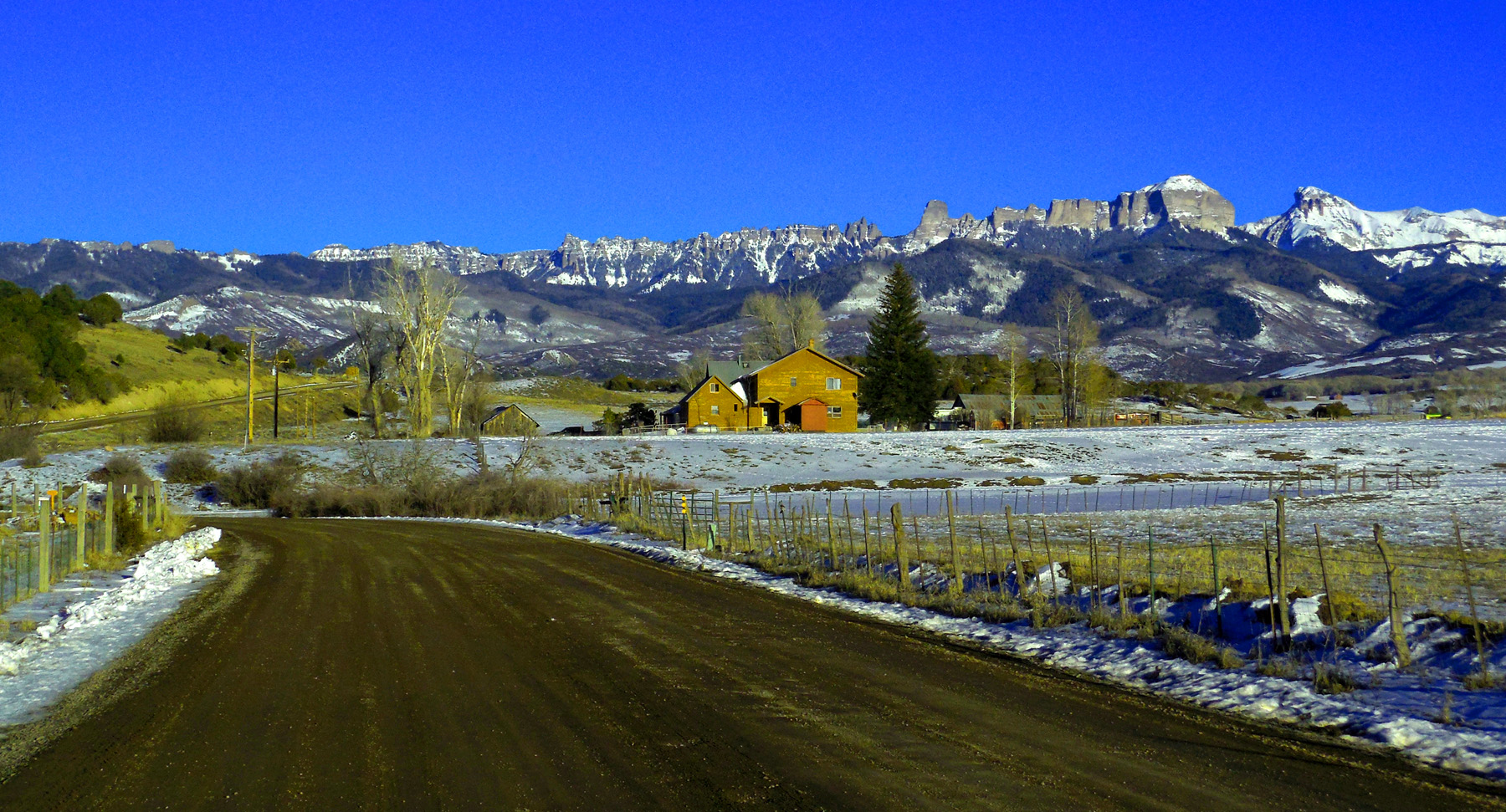
Mt. Sneffles (14,150', right) and several 13ers on the ridge to the east, including Ridgway Peak and Whitehouse Mountain
Apr 30 2017 - 11:57 am
Apr 30 2017 - 11:57 am
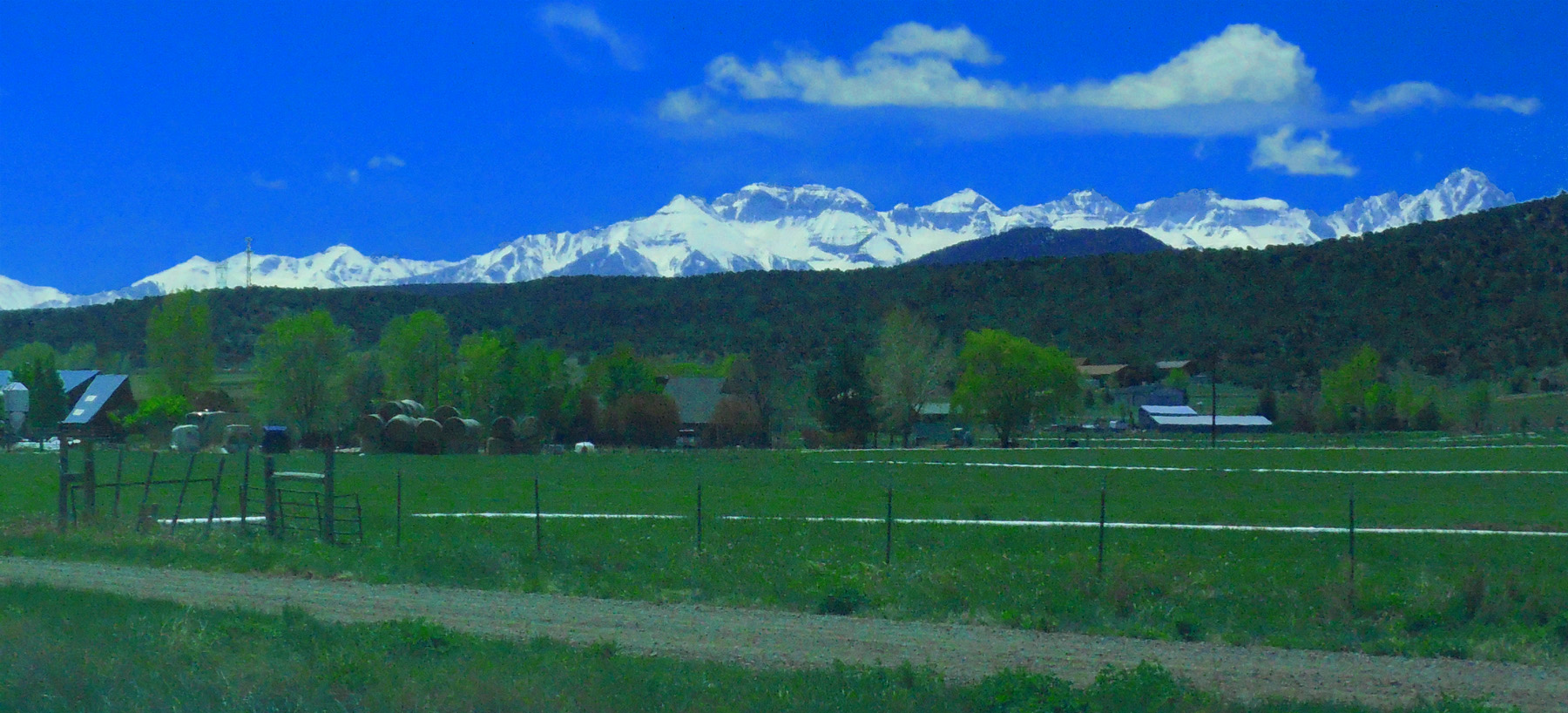
73 / 81
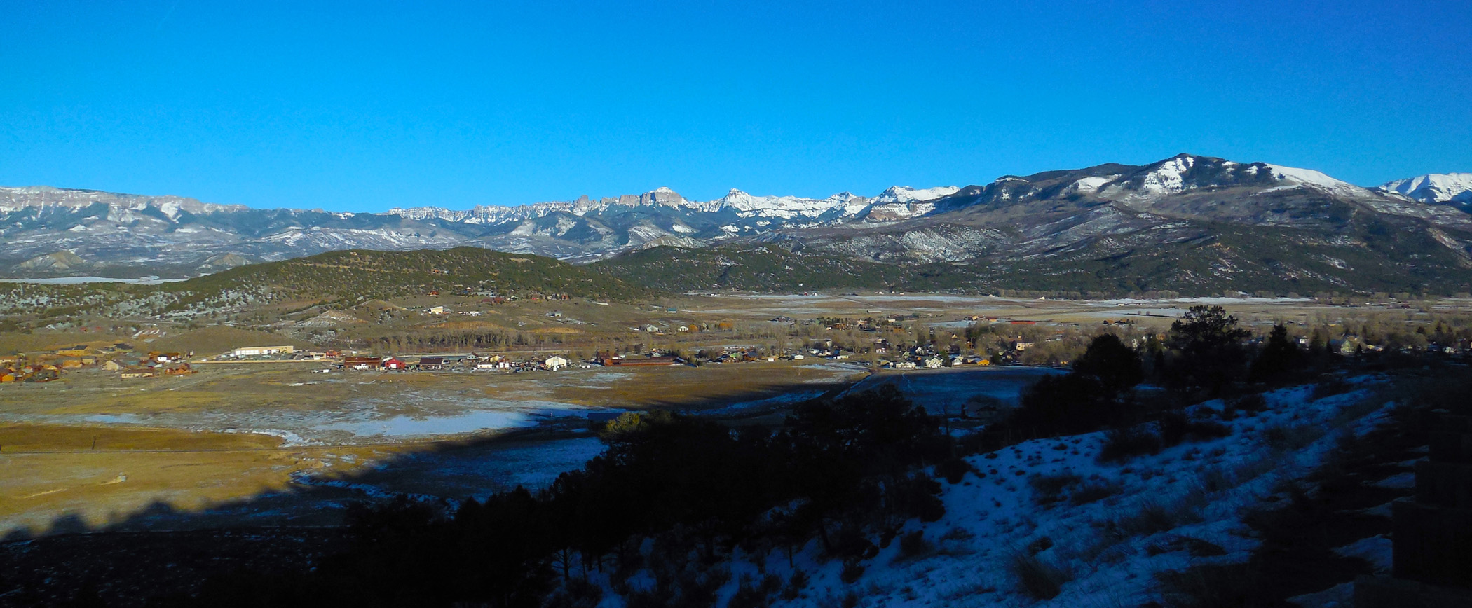
Ridgway Basin
Mar 03 2017 - 5:05 pm
Mar 03 2017 - 5:05 pm
74 / 81
Cimarron Ridge from Ridgway Basin
Mar 03 2017 - 5:16 pm
Mar 03 2017 - 5:16 pm
75 / 81
Telephoto of Cimarron Ridge
Mar 03 2017 - 5:16 pm
Mar 03 2017 - 5:16 pm
76 / 81
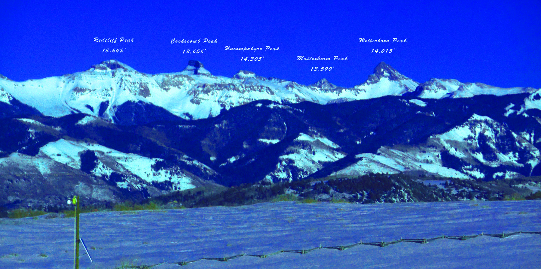
Peaks of the Uncompahgre Group
Mar 03 2017 - 4:51 pm
Mar 03 2017 - 4:51 pm
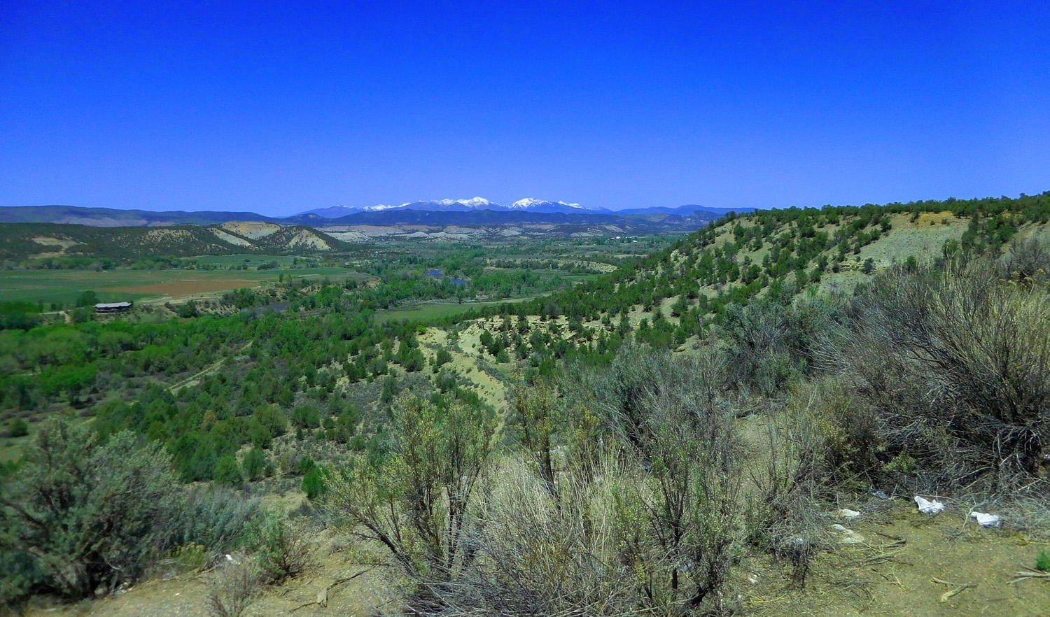
77 / 81
Abrams Mountian over the Uncompahre Valley
May 17 2013 - 3:43 pm
May 17 2013 - 3:43 pm
78 / 81
Grand Mesa (largest flattopped mountain in the world)
May 24 2021 - 6:01 pm
May 24 2021 - 6:01 pm
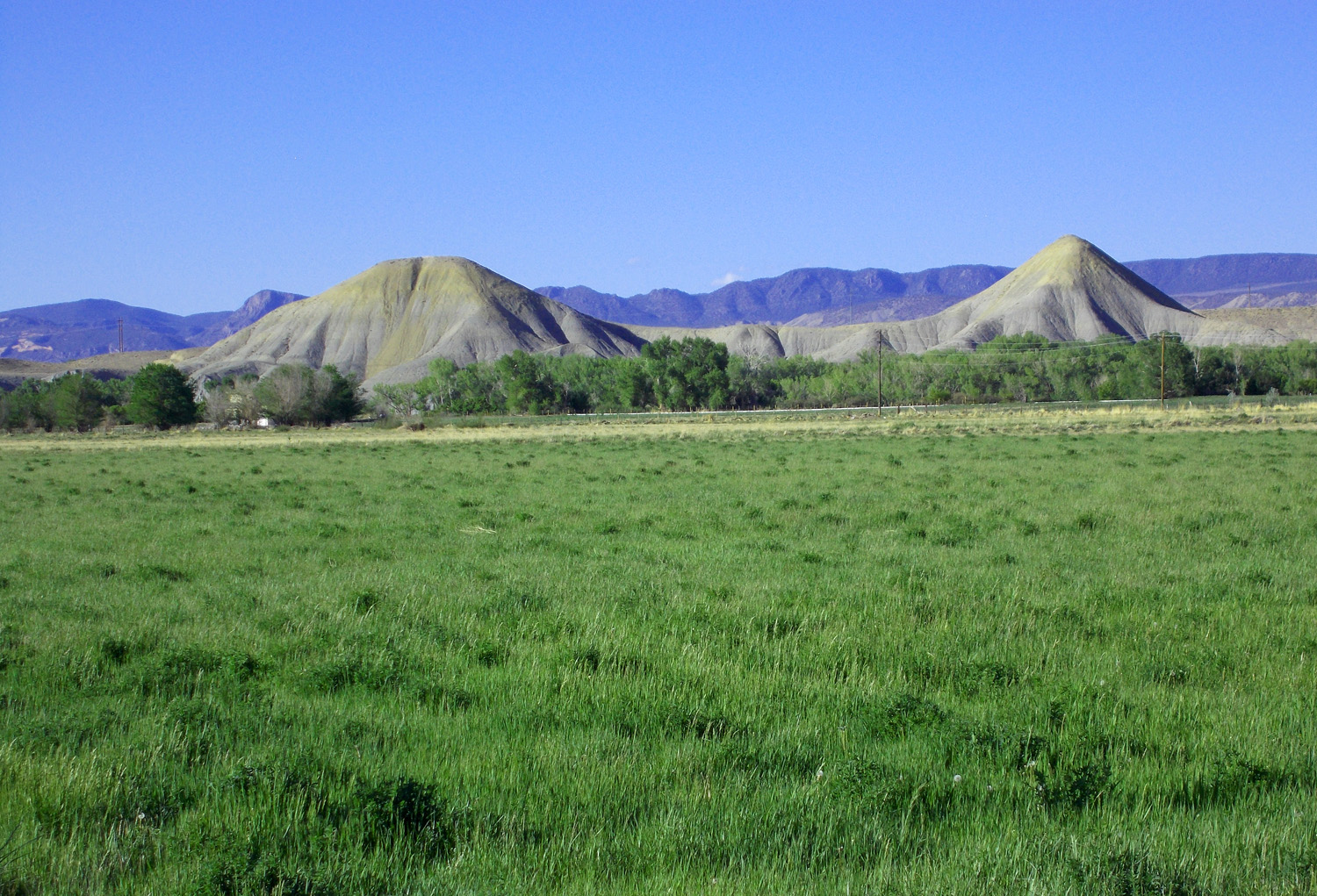
79 / 81
Pediments east of the river
May 24 2021 - 5:58 pm
May 24 2021 - 5:58 pm
80 / 81
Decreasing in height downriver
May 24 2021 - 6:10 pm
May 24 2021 - 6:10 pm
81 / 81

US 50 in Montrose, CO the north end of US 550