81 Slides:
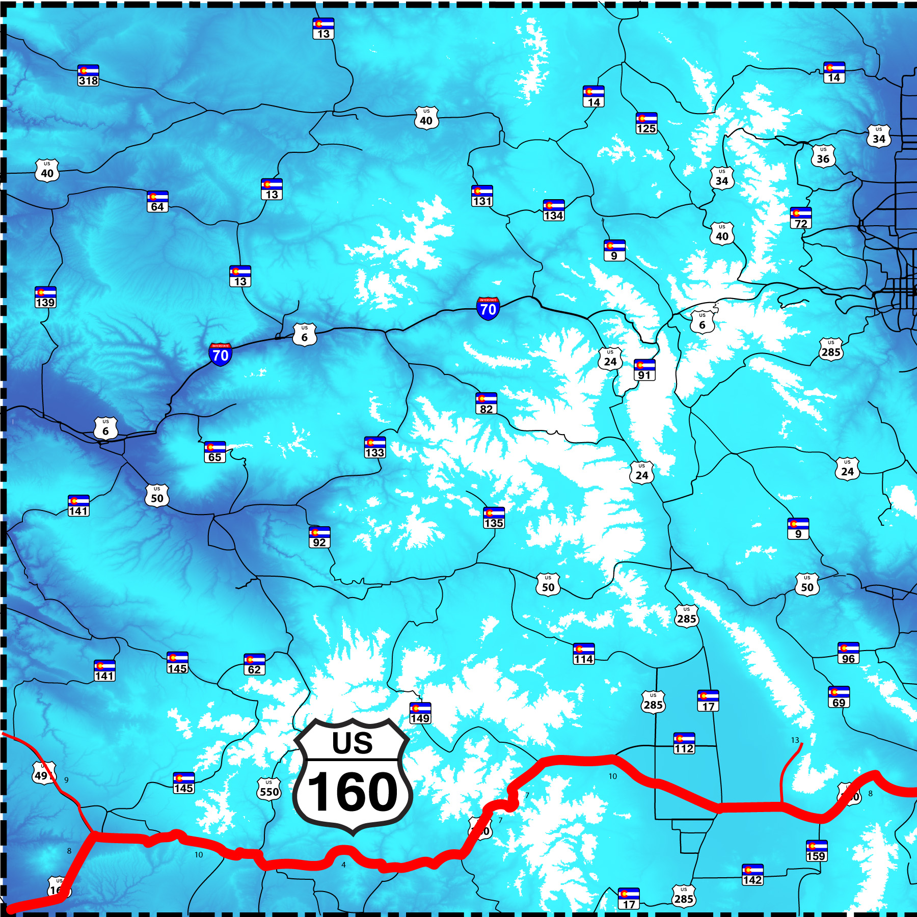
from the Colorado border with New Mexico east to Walsenburg (I 25)
Road Index or use your browser "back" arrow or function 30 second cycle: please choose another user-controlled 2 seconds 5 seconds 10 seconds 1 minute
1 / 81
2 / 81
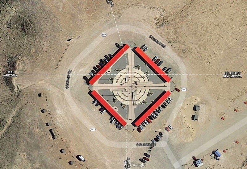
US 160 in Colorado starts at Four Corners National Monument
Monument maintained by the Navajo Tribe; administered by the Navajo and Ute Tribes (Google Image)
Monument maintained by the Navajo Tribe; administered by the Navajo and Ute Tribes (Google Image)
3 / 81
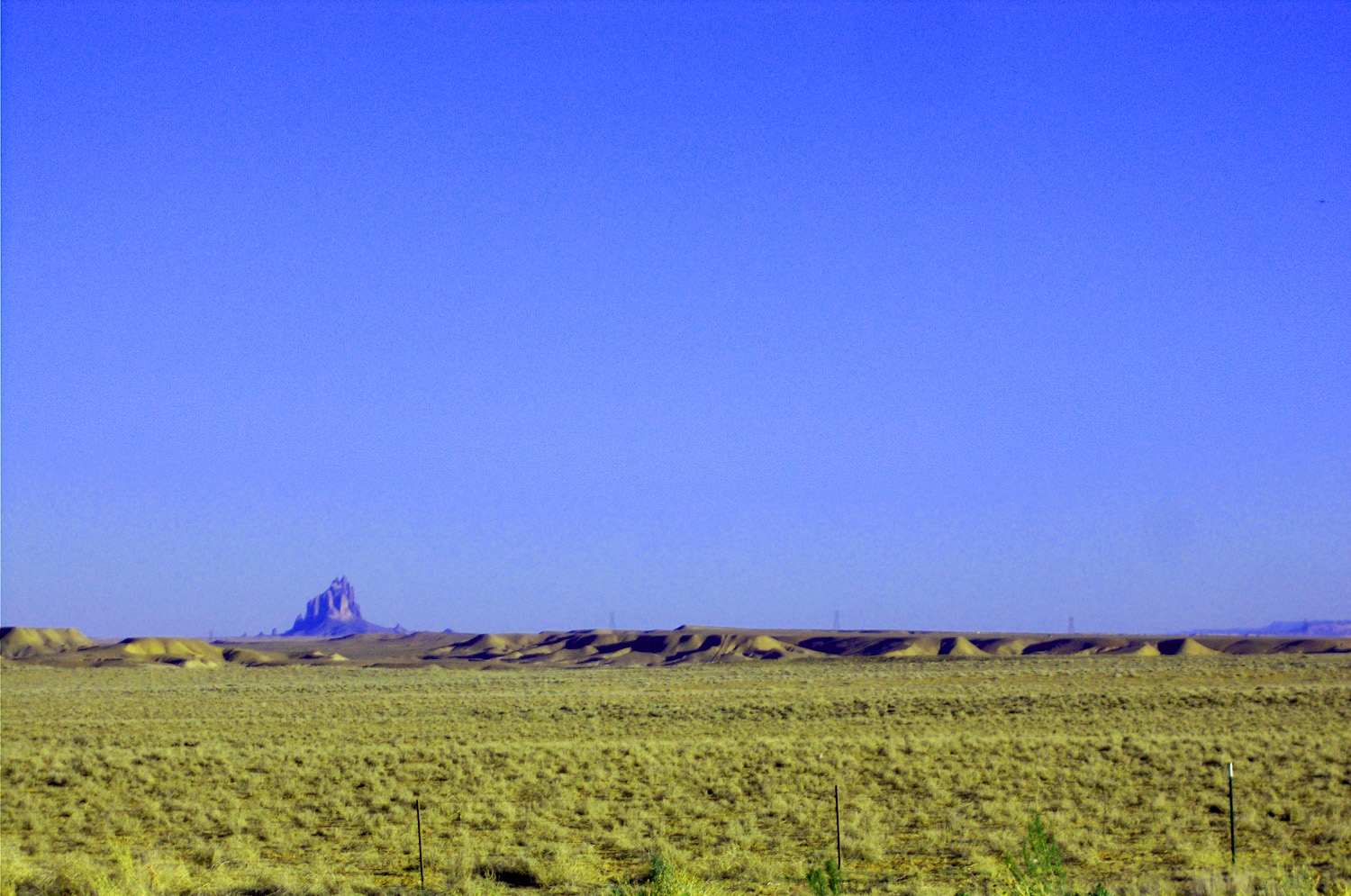
Shiprock in New Mexico (volcanic neck with dikes)
May 24 2021 - 3:11 pm
May 24 2021 - 3:11 pm
4 / 81
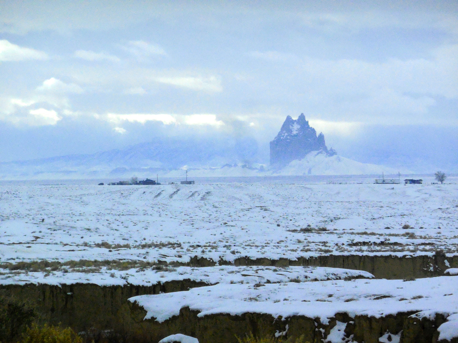
Shiprock in January
Jan 06 2019 - 3:12 pm
Jan 06 2019 - 3:12 pm
5 / 81
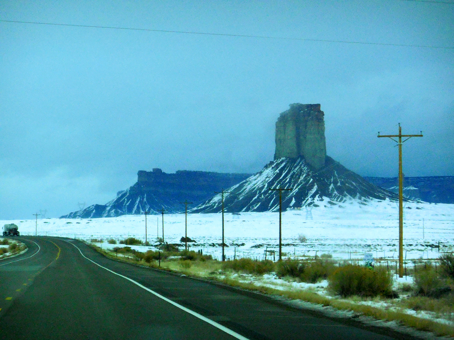
Mancos Shale monument capped with Mesa Verde Sandstone
Jan 06 2019 - 3:17 pm
Jan 06 2019 - 3:17 pm
6 / 81
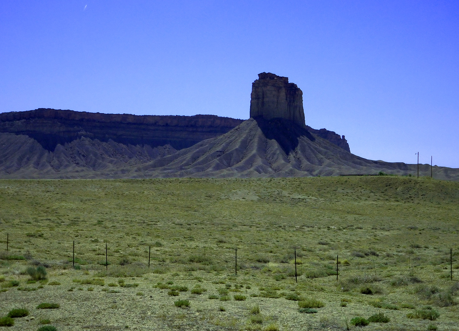
Same monument in May
May 24 2021 - 10:38 am
May 24 2021 - 10:38 am
7 / 81
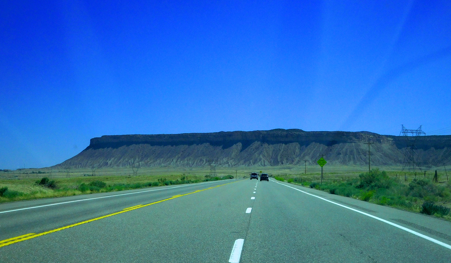
Mesa Verde Sandstone over Mancos Shale (Book Cliffs west of Cortez)
May 24 2021 - 10:49 am
May 24 2021 - 10:49 am
8 / 81
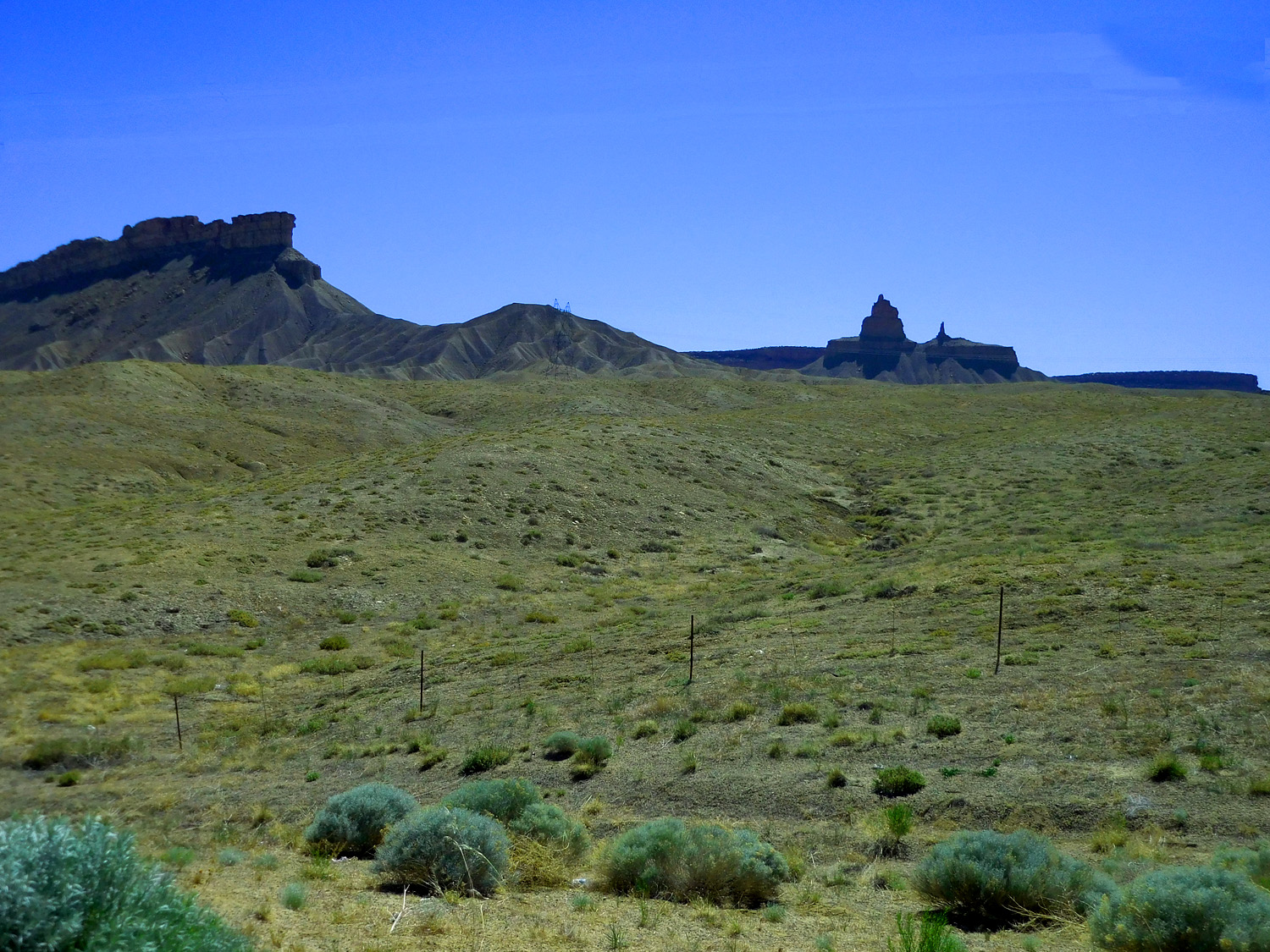
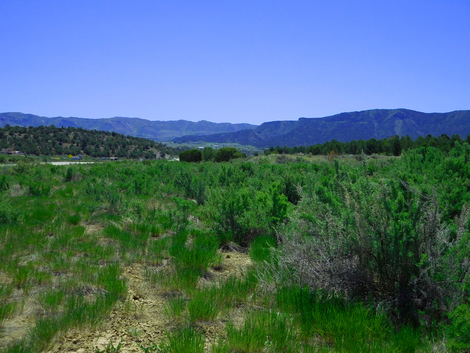
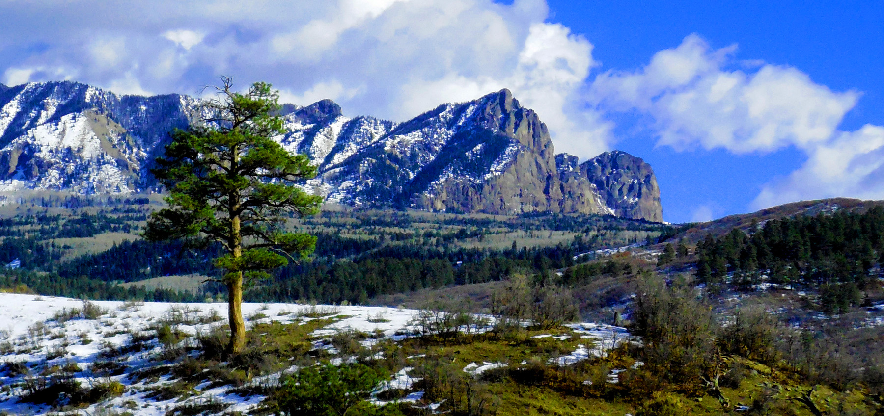
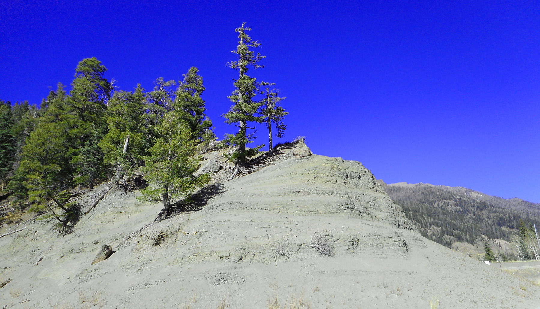
Monuments and Buttes in the Mesa Verde Formation
May 24 2021 - 10:11 am
May 24 2021 - 10:11 am
9 / 81
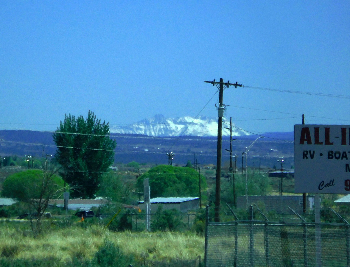
Coming in to Cortez, San Miguel Mountains in the background
May 24 2021 - 10:58 am
May 24 2021 - 10:58 am
10 / 81

North on US 491 and skip to the Colorado border with Utah
US 491 in Colorado used to be part of US 666 from Gallop, NM to Monticello, UT; changed because of devil association with the number 666
US 491 in Colorado used to be part of US 666 from Gallop, NM to Monticello, UT; changed because of devil association with the number 666
11 / 81
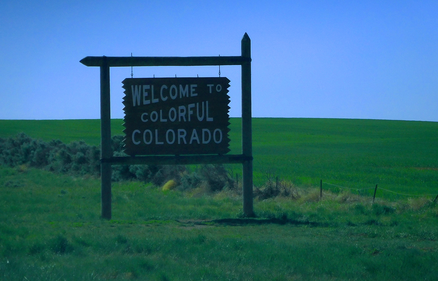
Colorado border among hay fields on the Great Sage Plain
May 24 2021 - 9:05 am
May 24 2021 - 9:05 am
12 / 81
Abajo Mountains (aka Blue Mountains) rising above Monticello Utah and The Great Sage Plain
May 24 2021 - 8:51 am
May 24 2021 - 8:51 am
13 / 81
The Great Sage Plain: capped with a layer of silt above the erosion resistant Dakota Sandstone stretching from the Abajo Mountains in Utah, south of the La Sal Mountains and east of the Sleeping Ute Mountains to Mesa Verde National Park at Cortez, CO
May 24 2021 - 9:09 am
May 24 2021 - 9:09 am
14 / 81
Dove Creek, CO
May 24 2021 - 9:15 am
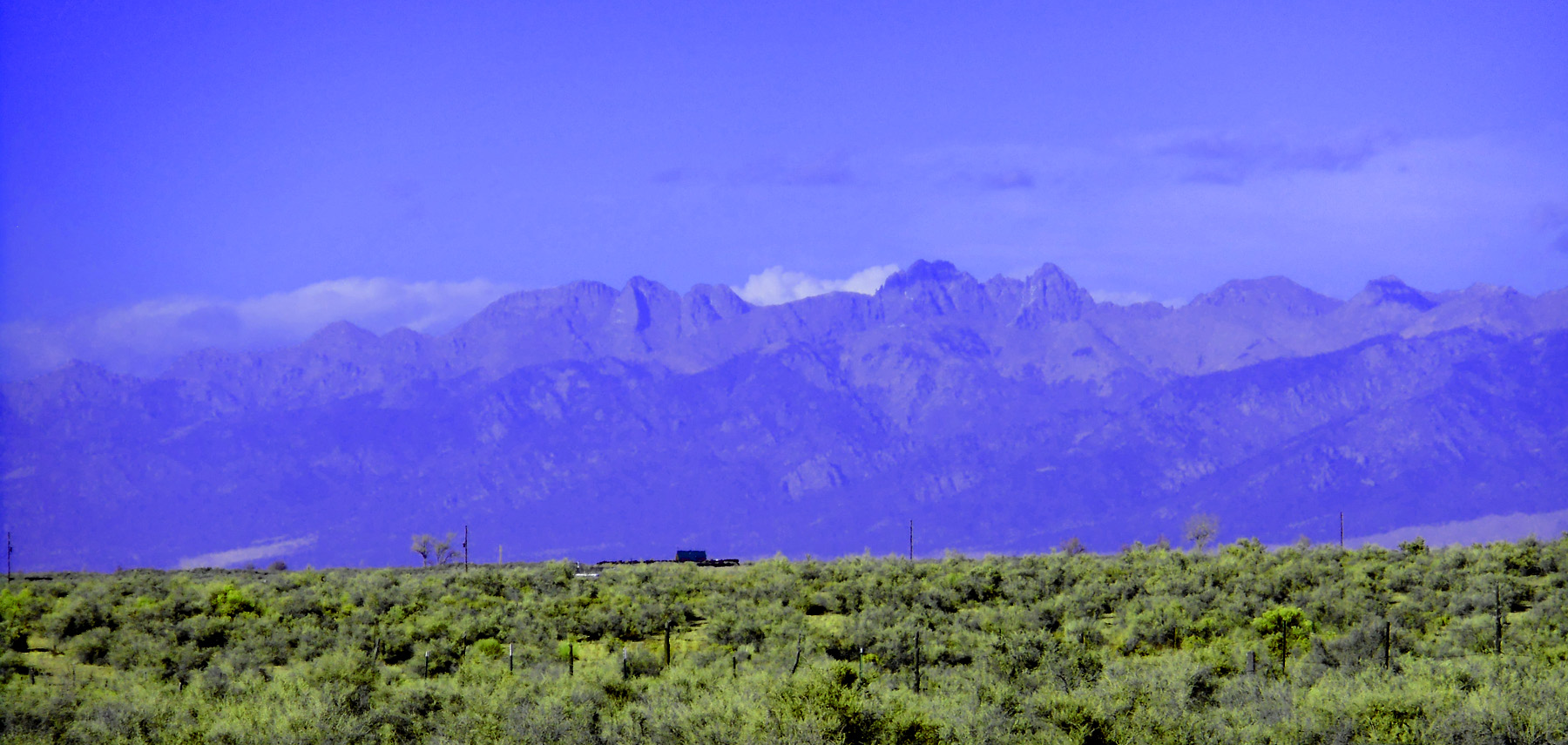
May 24 2021 - 9:15 am
15 / 81
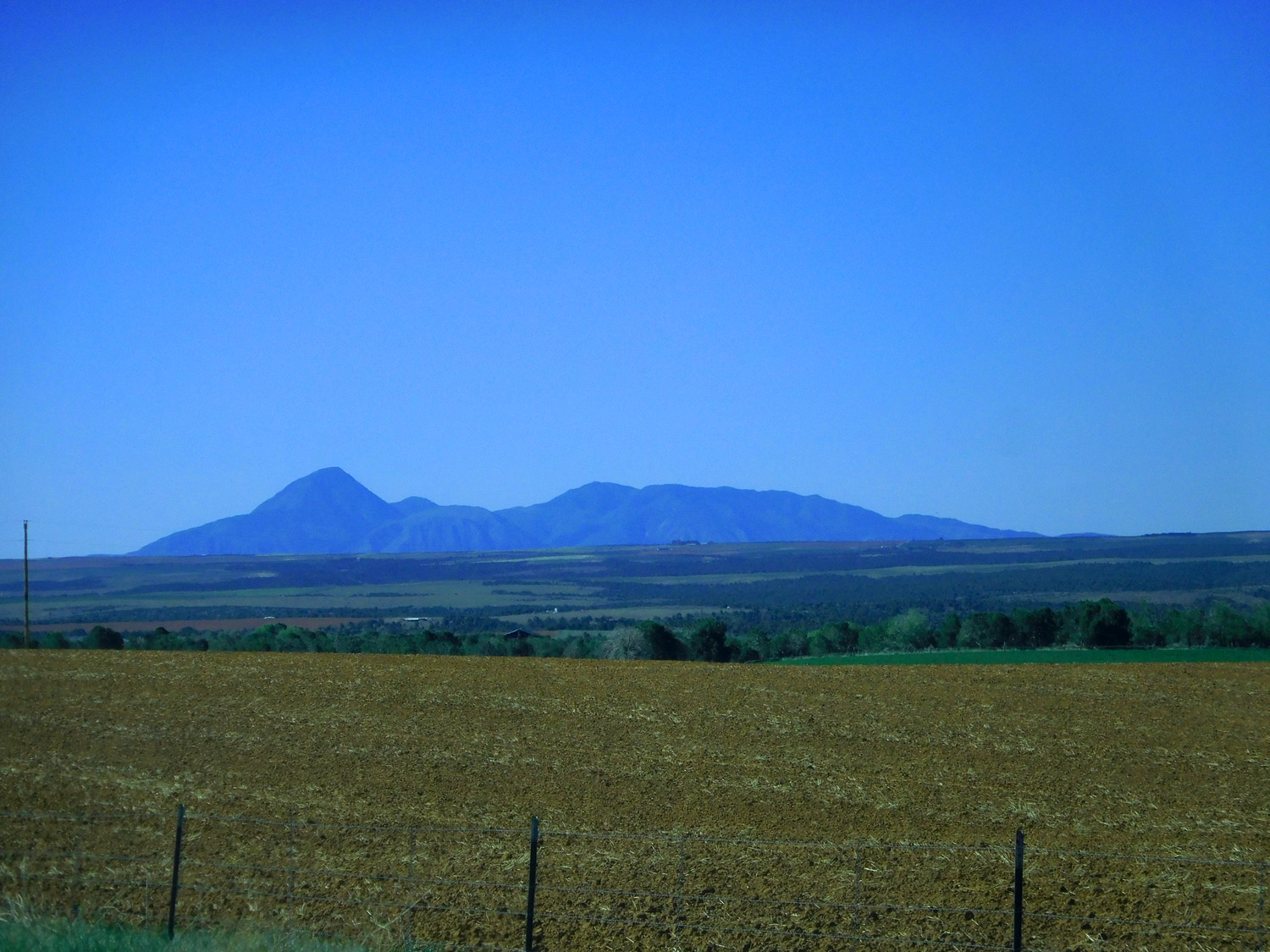
Sleeping Ute Mountain on the right hand side of the the road
May 24 2021 - 9:18 am
May 24 2021 - 9:18 am
16 / 81
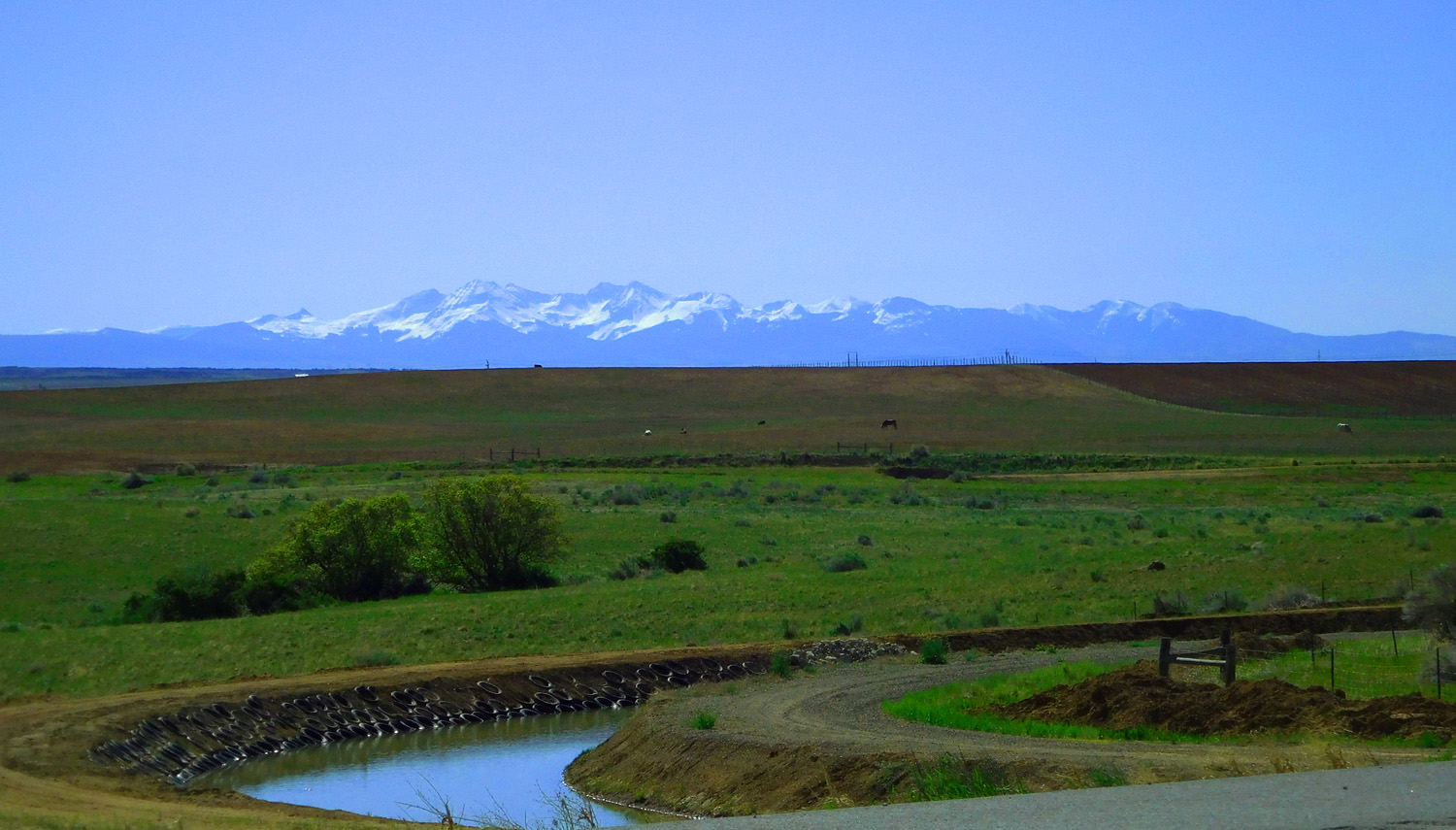
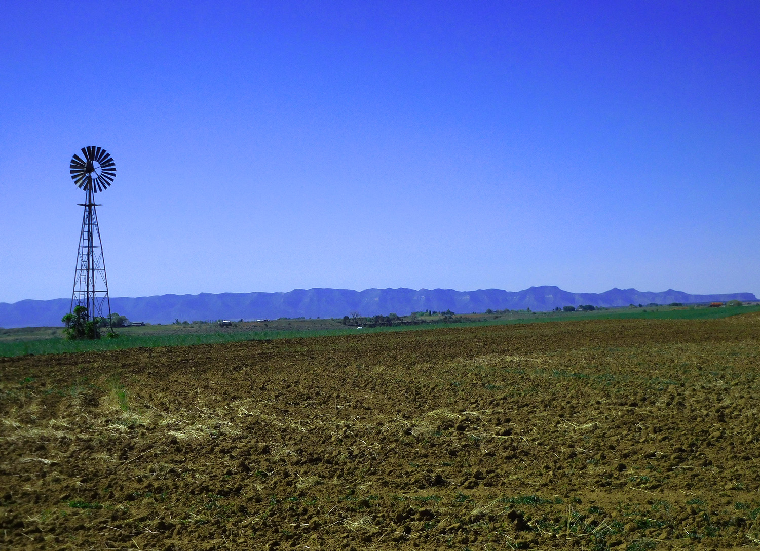
La Plata Mountains on the left (good use of old tires on the lifeblood of the Great Sage Plain, irrigation)
May 24 2021 - 9:30 am
May 24 2021 - 9:30 am
17 / 81
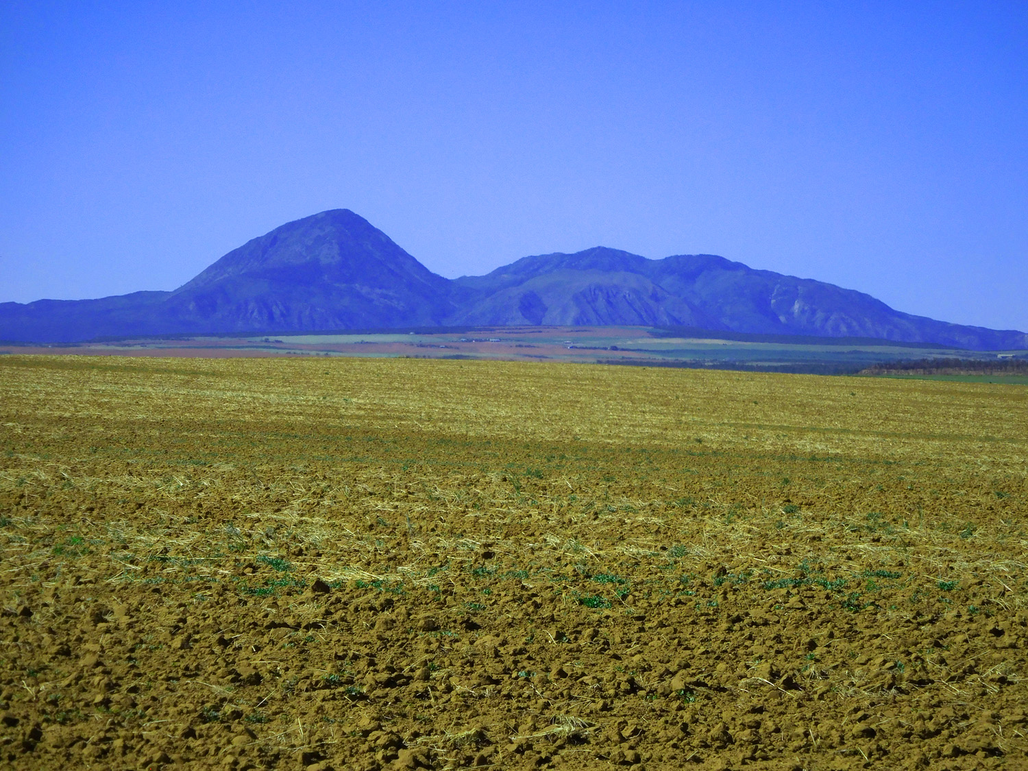
Telephoto of Sleeping Ute Mountain over The Great Sage Plain (showing well-drained silt soils, only things needed are fertilizer and water)
May 24 2021 - 9:37 am
May 24 2021 - 9:37 am
18 / 81
Mesa Verde ahead (Formation and National Park)
May 24 2021 - 9:37 am
May 24 2021 - 9:37 am
19 / 81
La Plata Mountains from US 491
May 24 2021 - 9:40 am
May 24 2021 - 9:40 am
20 / 81

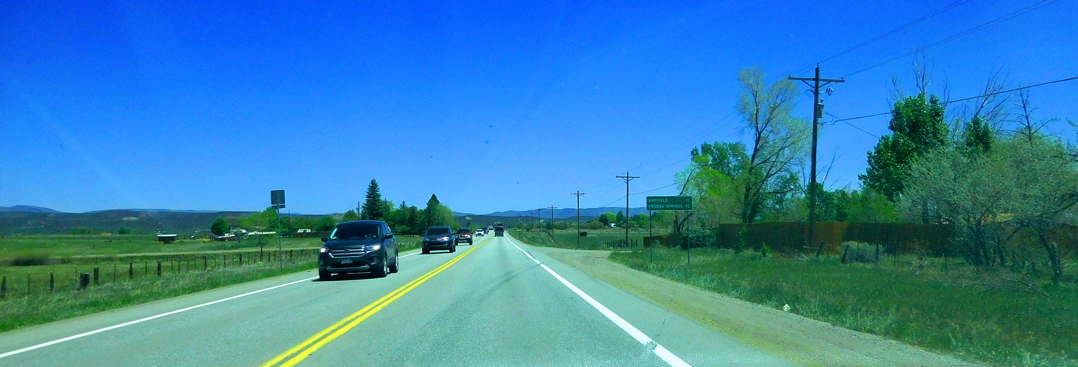
Back to US 160 east at Cortez
21 / 81
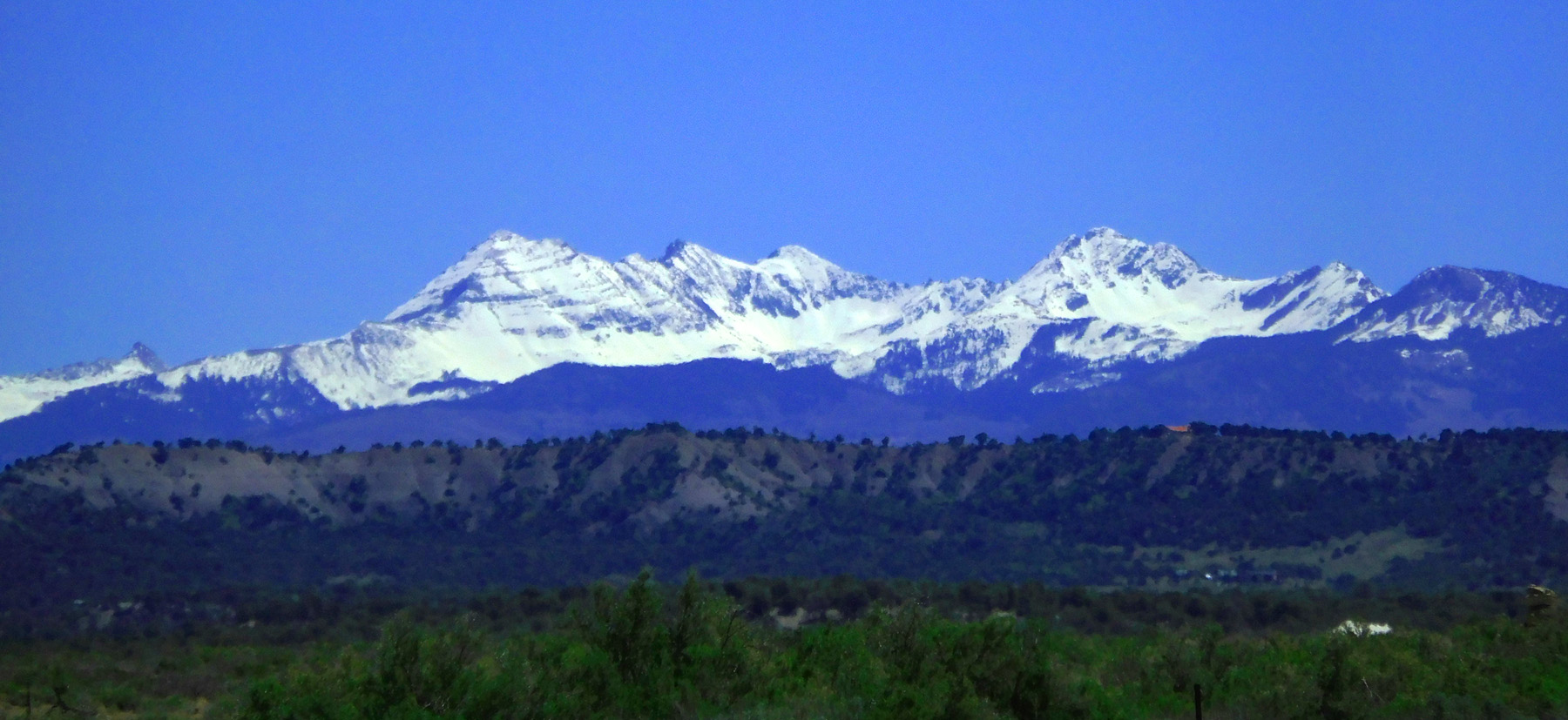
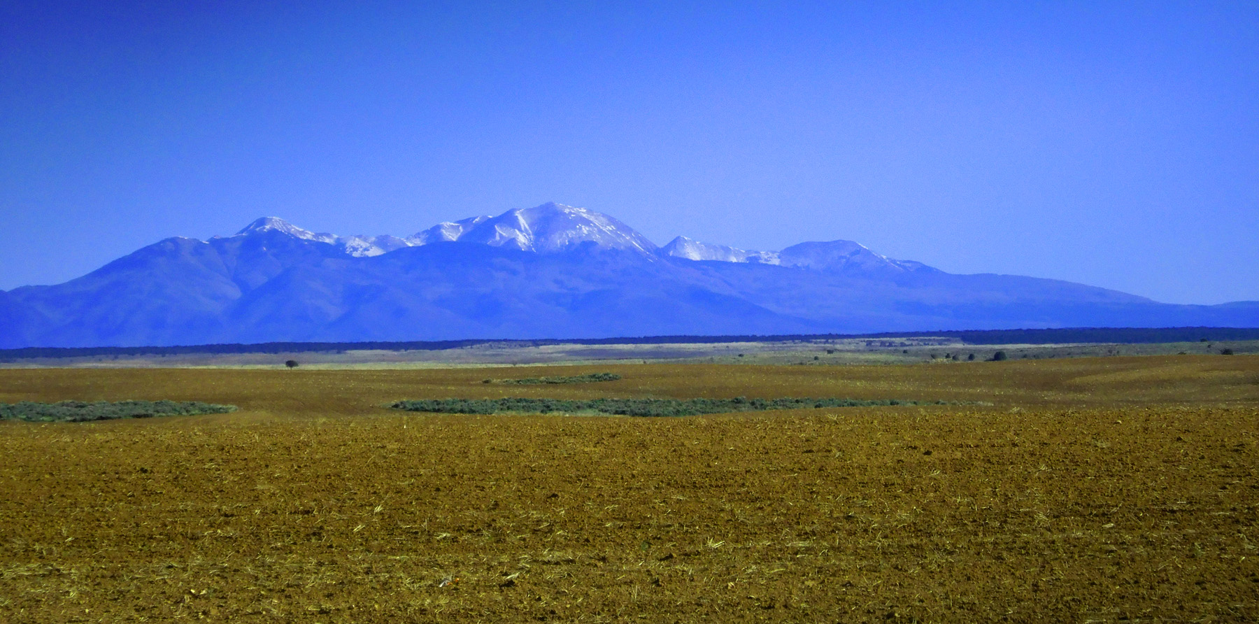
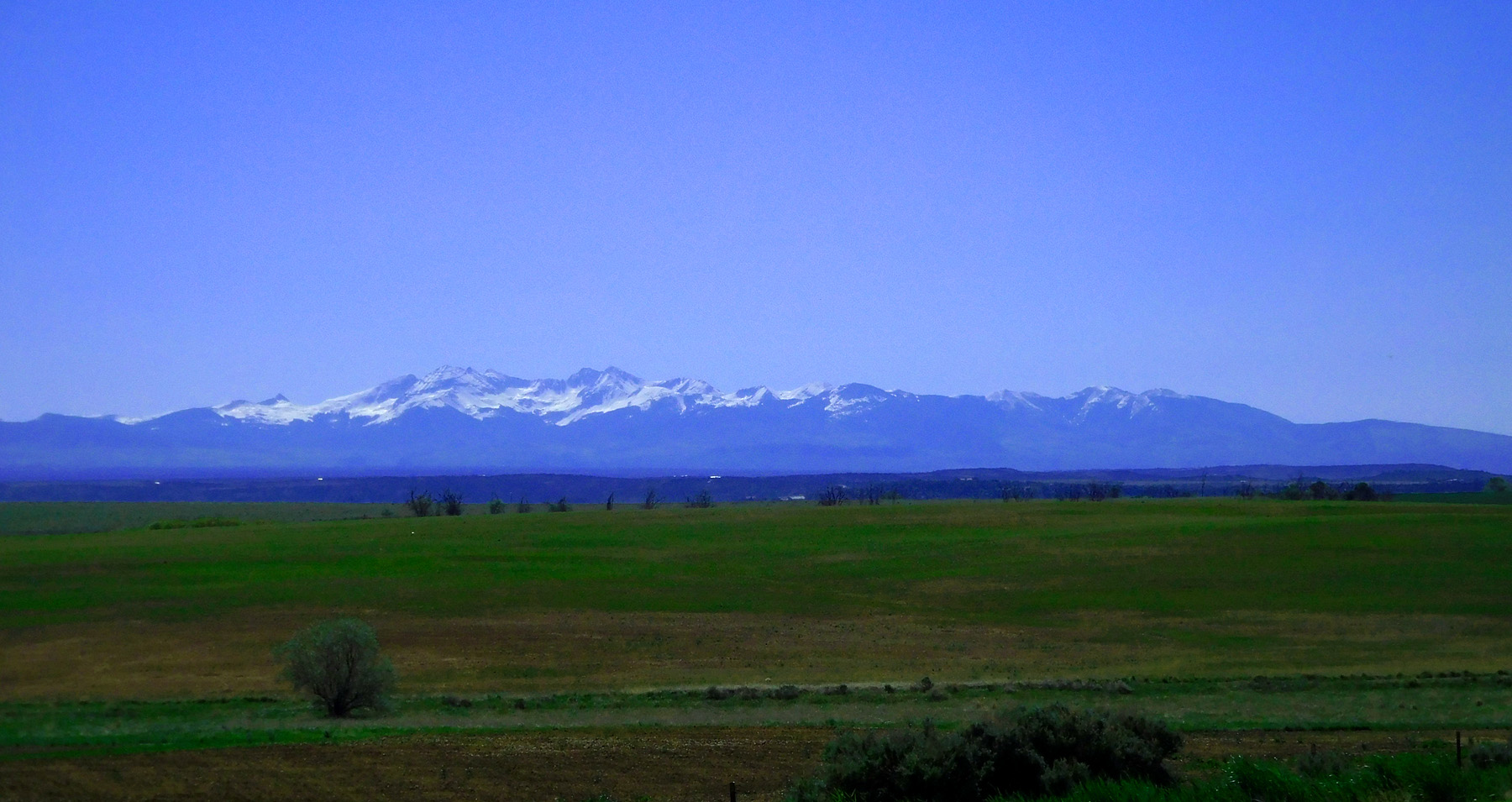
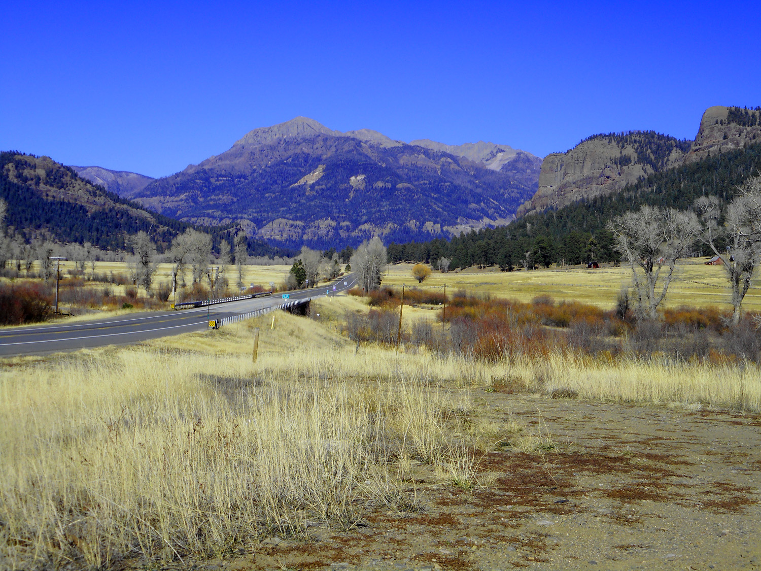
La Plata Mountains from US 160: Hesperus Peak (13,232') and Mt. Moss (13,192')
May 24 2021 - 11:21 am
May 24 2021 - 11:21 am
22 / 81
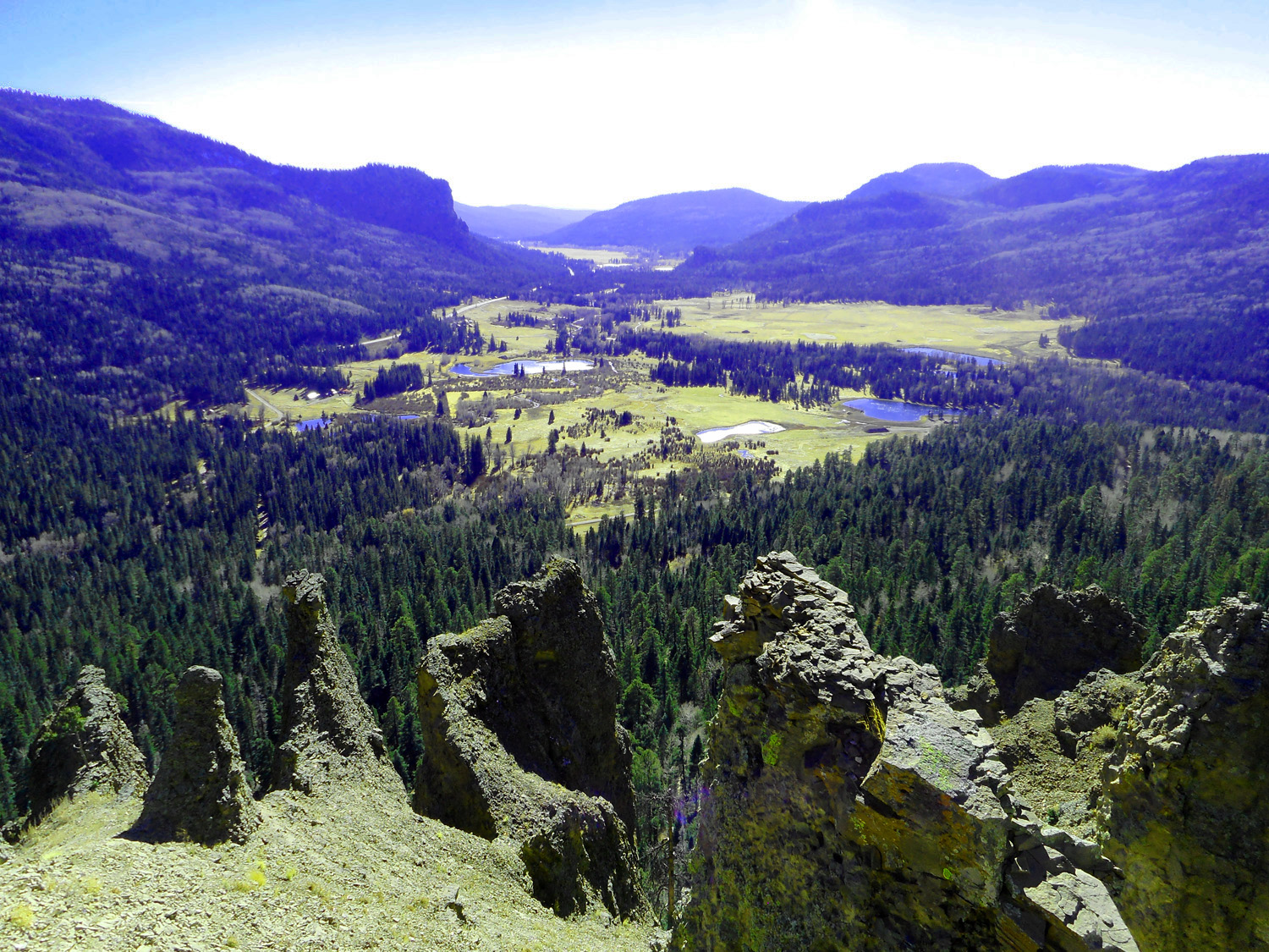
Mesa Verde National Park (background) and farthest headwaters of St. Elmo Creek (middleground)
May 24 2021 - 11:28 am
May 24 2021 - 11:28 am
23 / 81
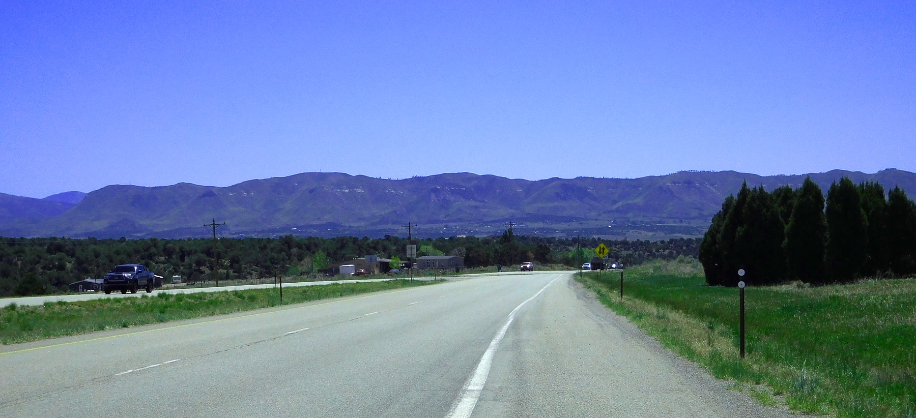
Over a low (6900') pass into the Mancos River Valley
May 24 2021 - 11:29 am
May 24 2021 - 11:29 am
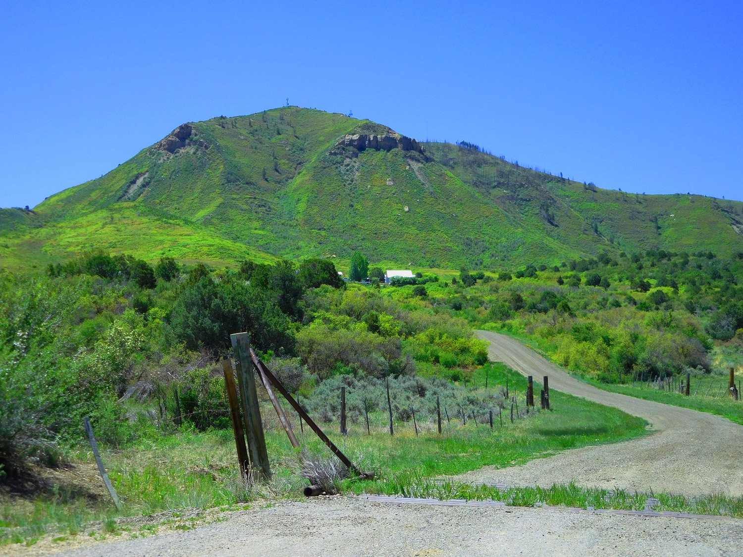
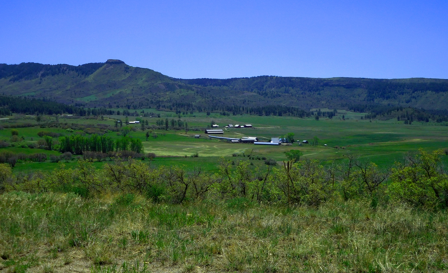
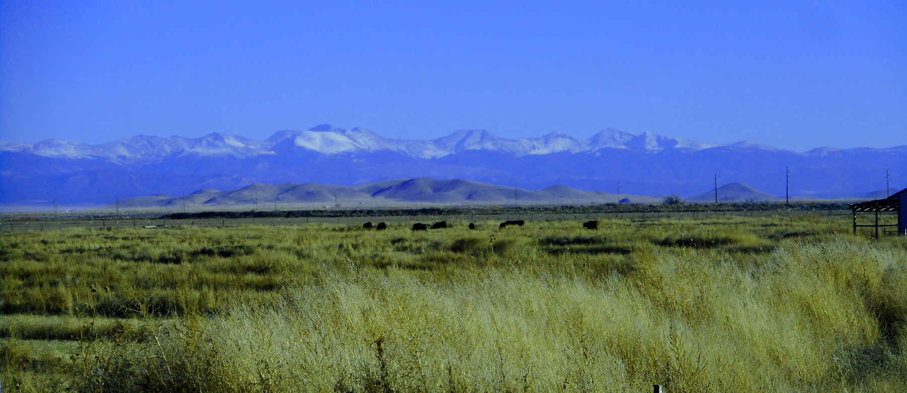
24 / 81
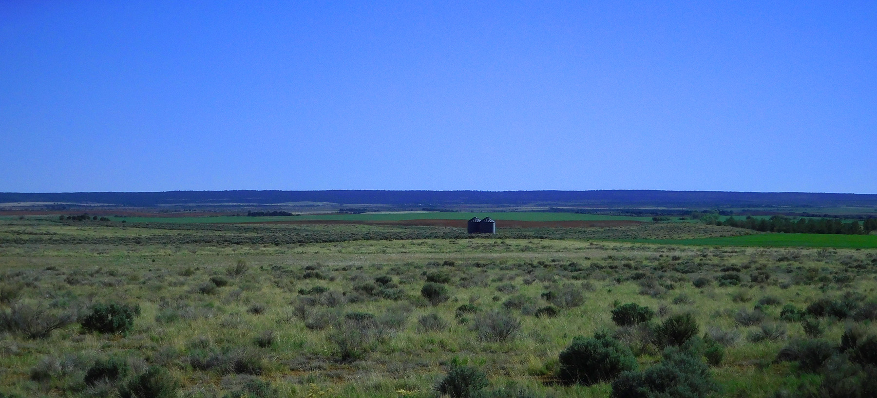
Ranch
May 24 2021 - 11:35 am
May 24 2021 - 11:35 am
25 / 81
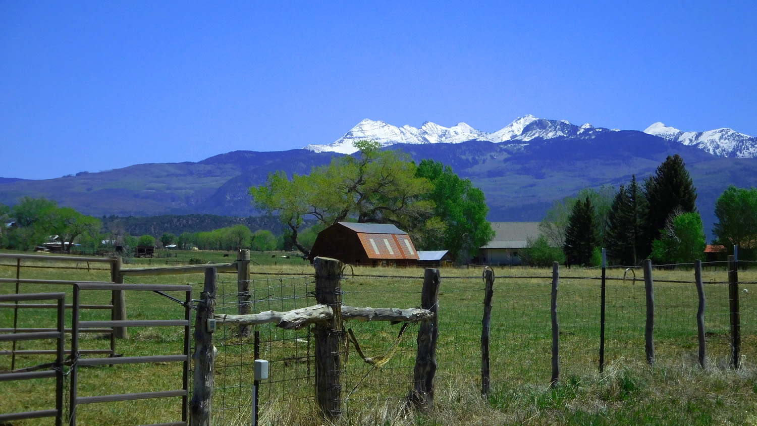
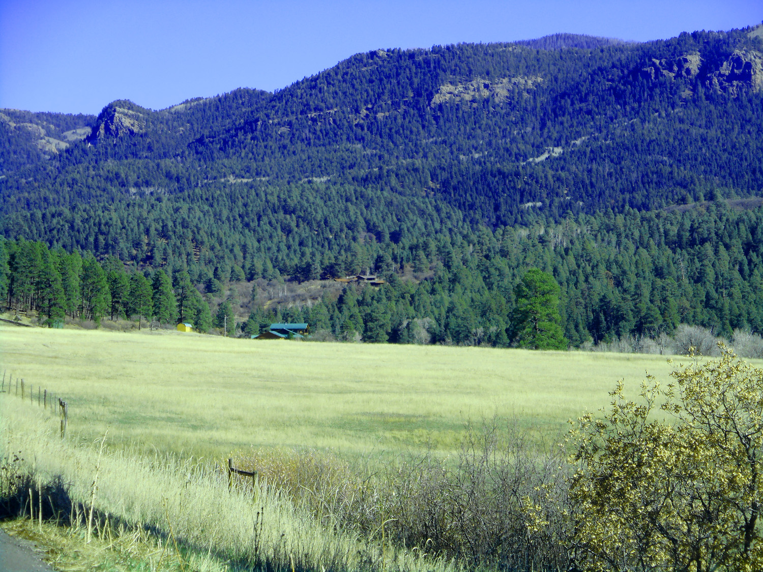
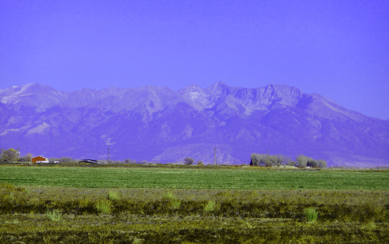
Mancos, CO on the Mancos River (headwaters of the river in background, La Plata Mountains)
May 24 2021 - 11:45 am
May 24 2021 - 11:45 am
26 / 81
Green Mesa Verde (redundancy noted)
May 24 2021 - 11:50 am
May 24 2021 - 11:50 am
27 / 81
Ranch in the Mancos River Valley
May 24 2021 - 11:55 am
May 24 2021 - 11:55 am
28 / 81
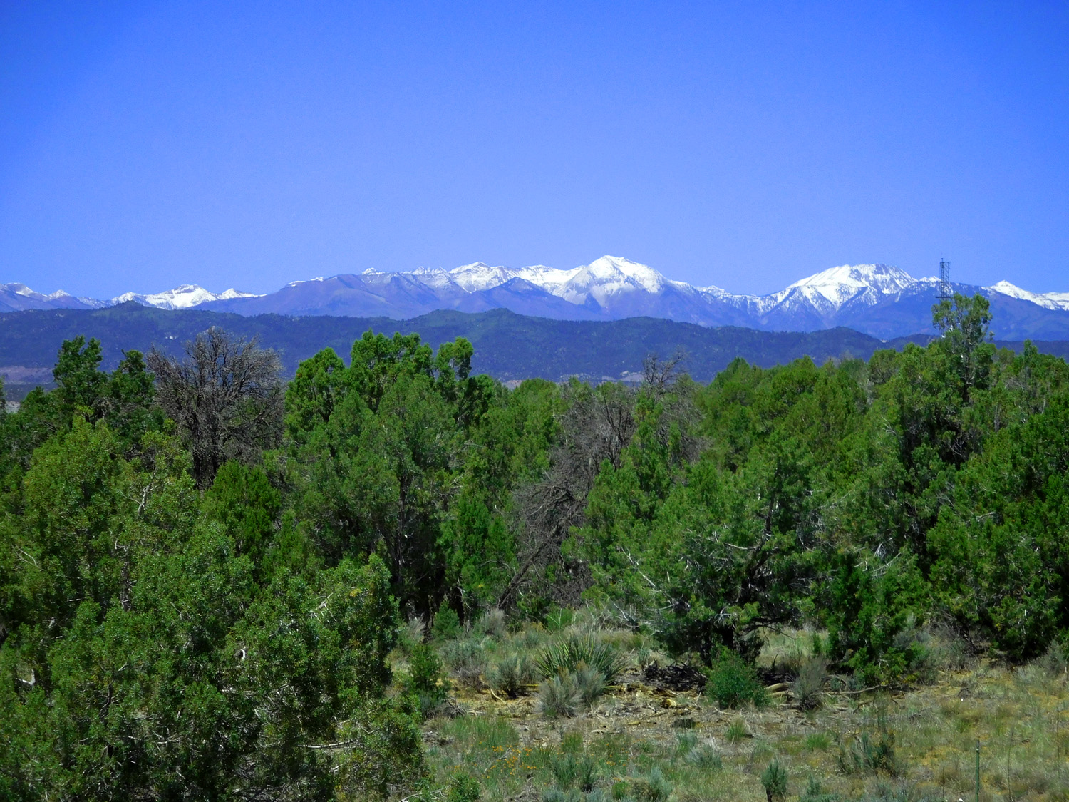
San Juan Mountains
May 24 2021 - 12:16 pm
May 24 2021 - 12:16 pm
29 / 81
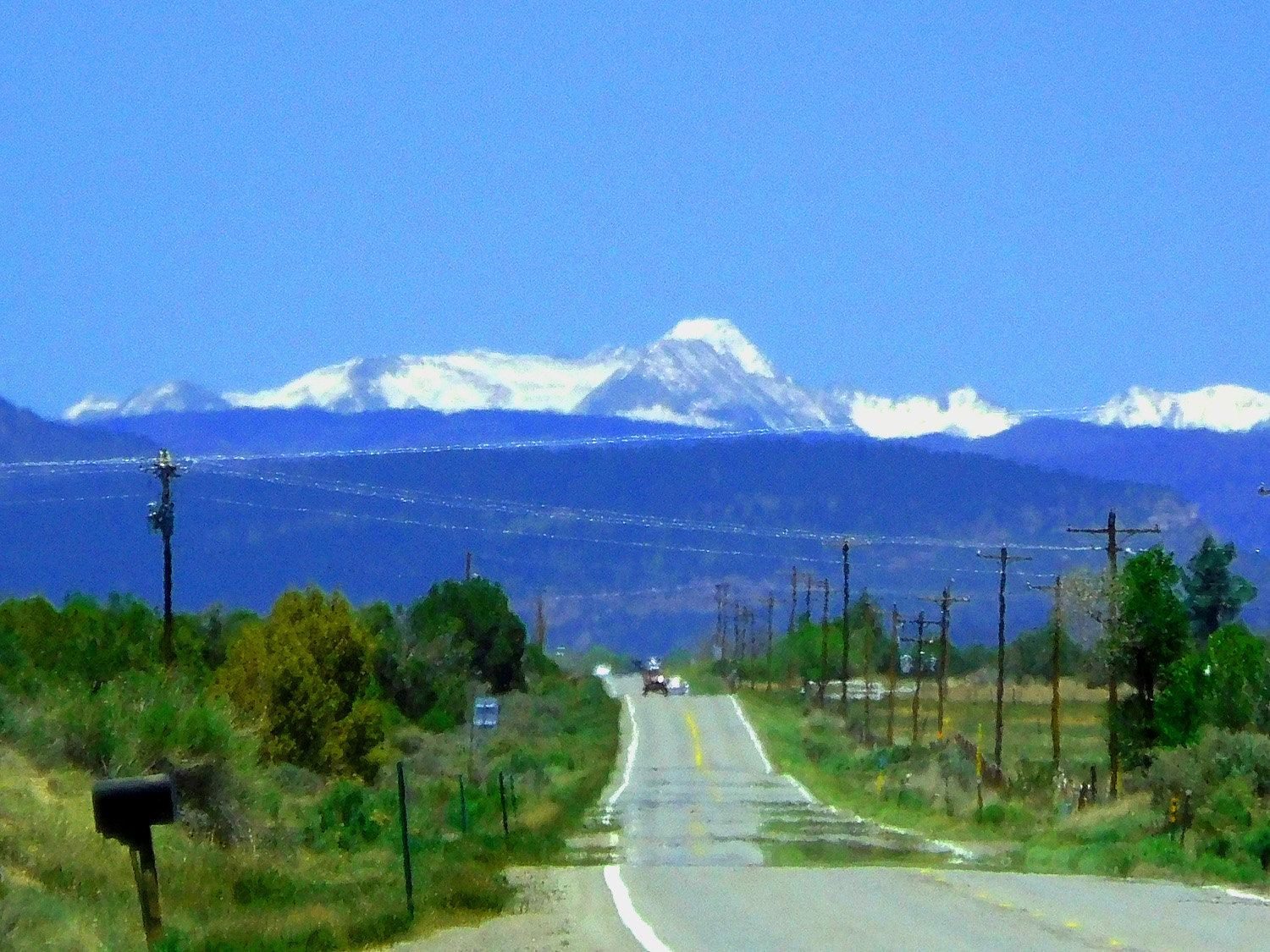
Mirage on the pavement
May 24 2021 - 1:02 pm
May 24 2021 - 1:02 pm
30 / 81
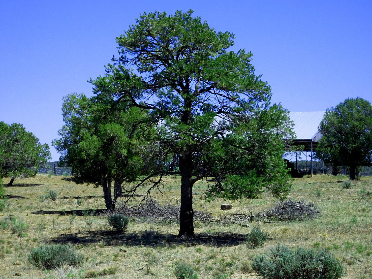
Stately Pinyon Pine
May 24 2021 - 1:01 pm
May 24 2021 - 1:01 pm
31 / 81
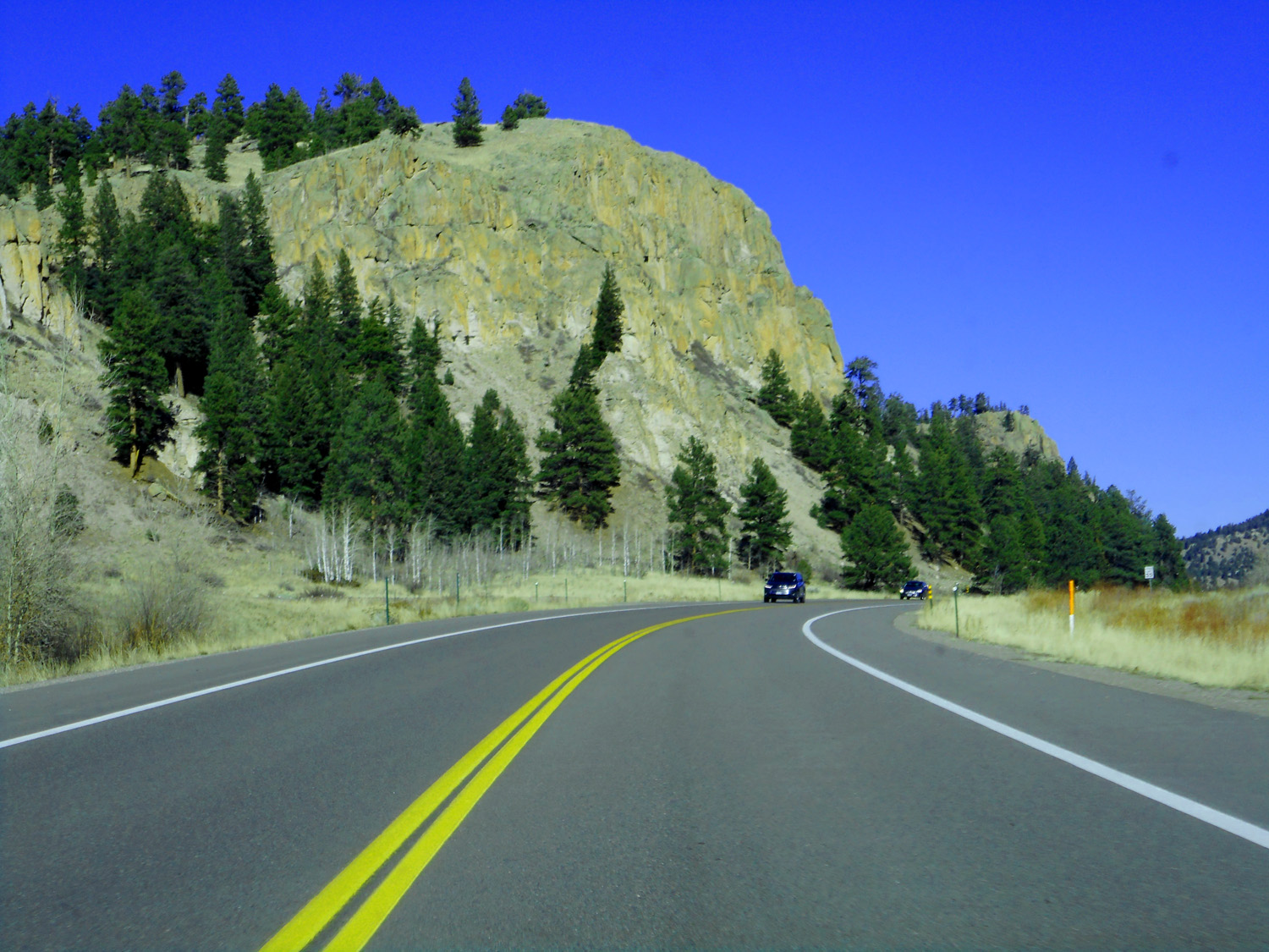
87 miles from Mancos to Pagosa Springs all the way on US 160 through Mesa Verde mountains (here on glacial outwash terraces)
May 24 2021 - 1:03 pm
May 24 2021 - 1:03 pm
32 / 81
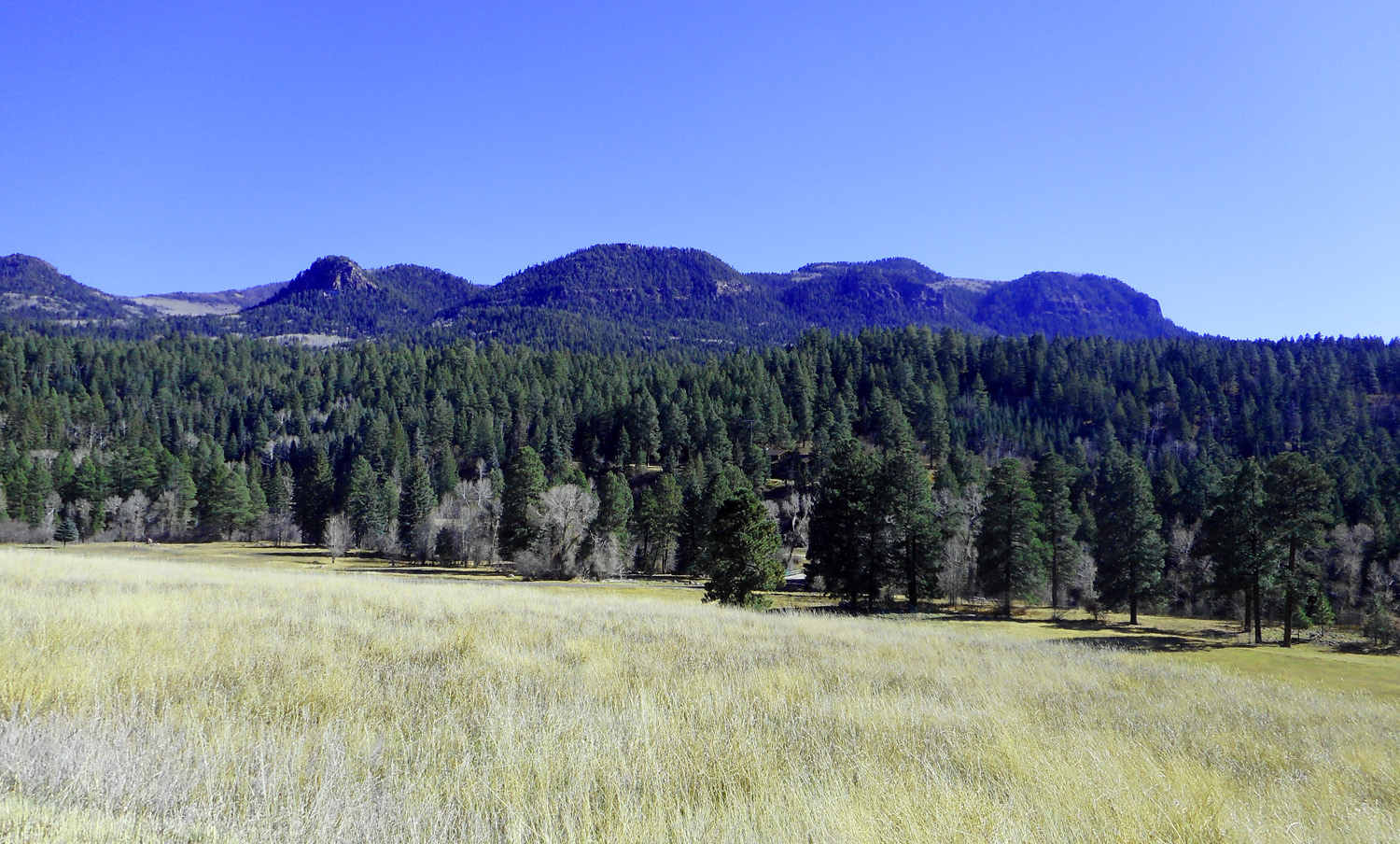
Buttes and spires in Mesa Verde Formation
May 24 2021 - 1:19 pm
May 24 2021 - 1:19 pm
33 / 81
Mesa Verde Formation
Nov 11 2021 - 1:37 pm
Nov 11 2021 - 1:37 pm
34 / 81
Mesa Verde hogback mountains
Nov 11 2021 - 1:39 pm
Nov 11 2021 - 1:39 pm
35 / 81
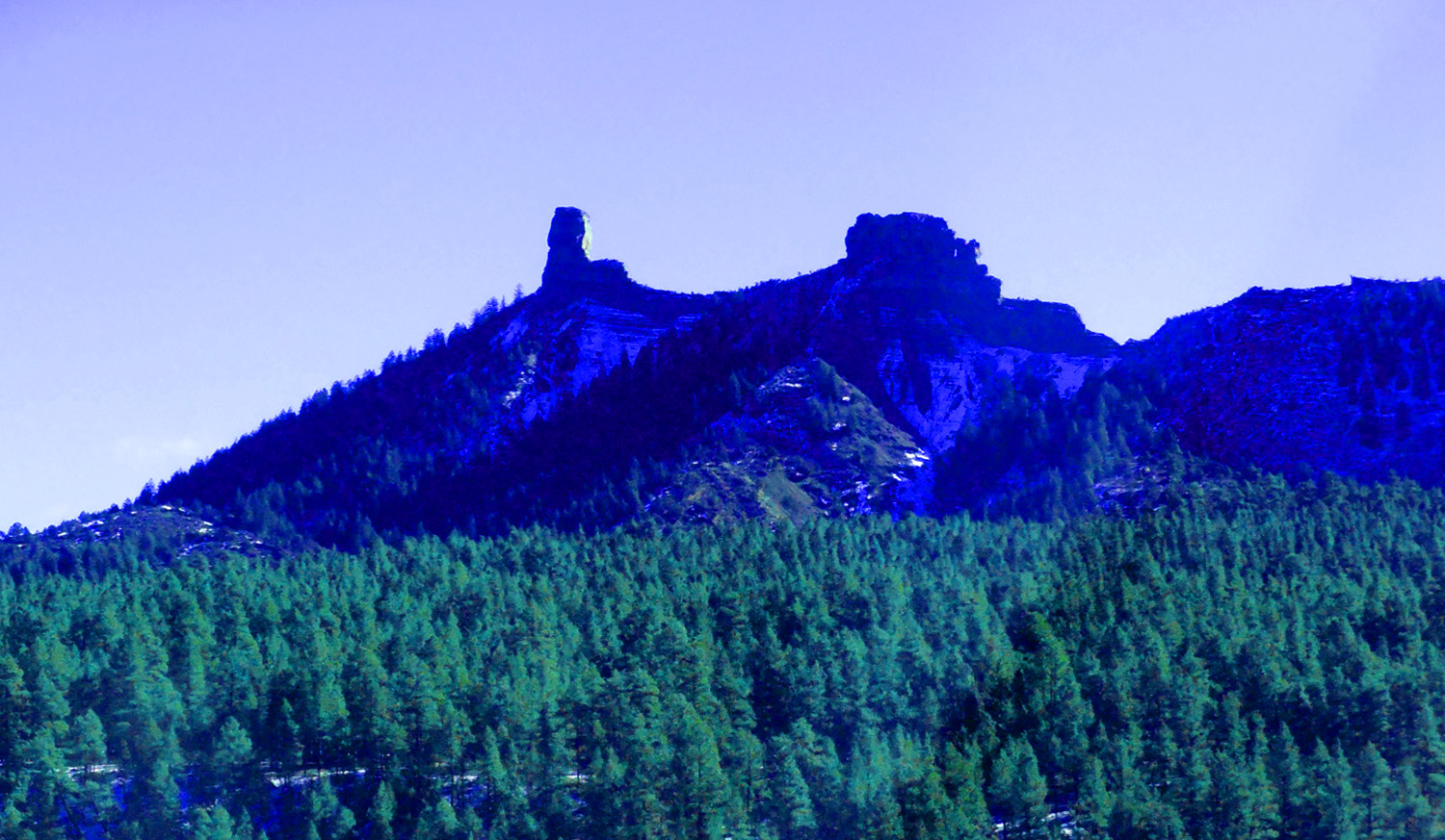
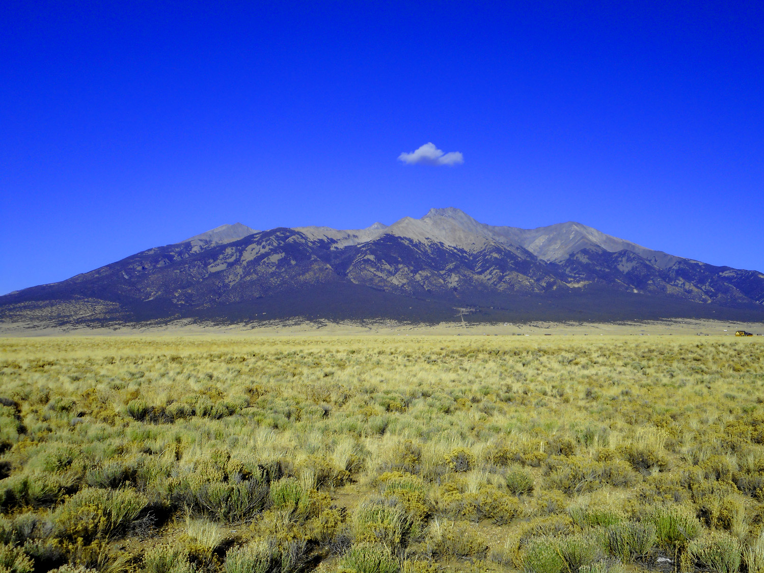
South face of San Juan Mountains: Pagosa Peak (12,646') and Eagle Mountain (12,005')
Dec 22 2018 - 1:37 pm
Dec 22 2018 - 1:37 pm
36 / 81
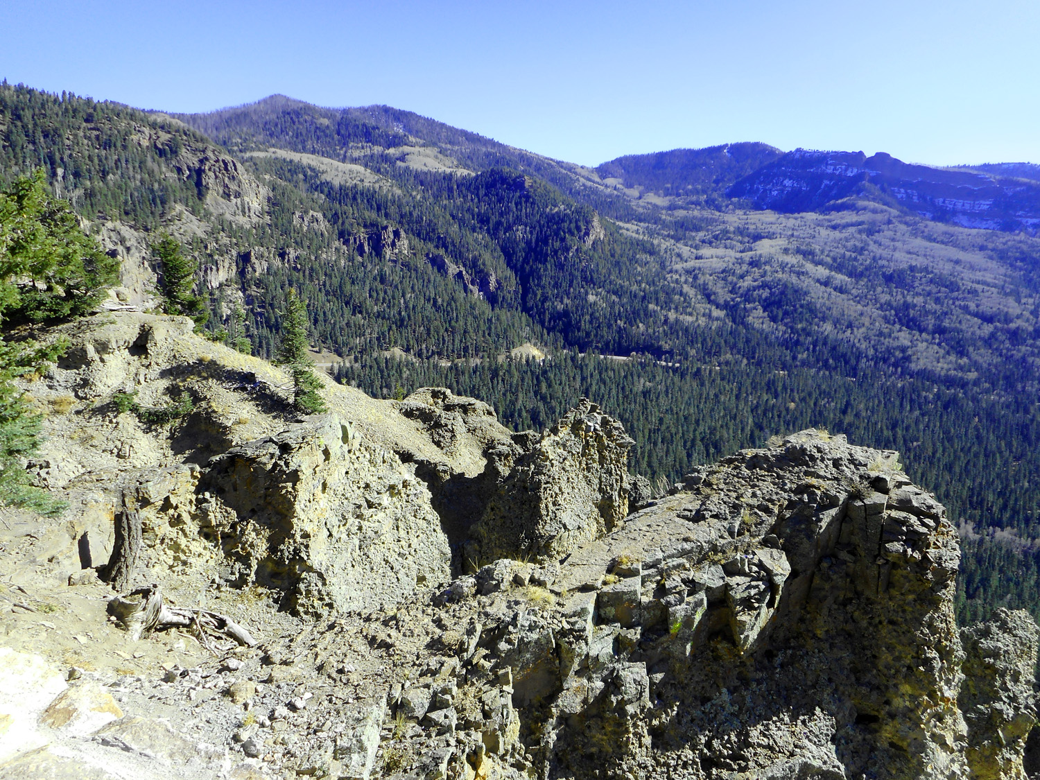
Into the San Juan Mountains
Nov 11 2021 - 1:43 pm
Nov 11 2021 - 1:43 pm
37 / 81
San Juan River Valley
Nov 11 2021 - 1:54 pm
Nov 11 2021 - 1:54 pm
38 / 81
San Juan Volanic rocks (thin welded tuff over lahar)
Nov 11 2021 - 1:55 pm
Nov 11 2021 - 1:55 pm
39 / 81
Volcanic ash falls (San Juan Mountians are made of andesitic-ryolitic volcanic rocks)
Nov 11 2021 - 1:55 pm
Nov 11 2021 - 1:55 pm
40 / 81
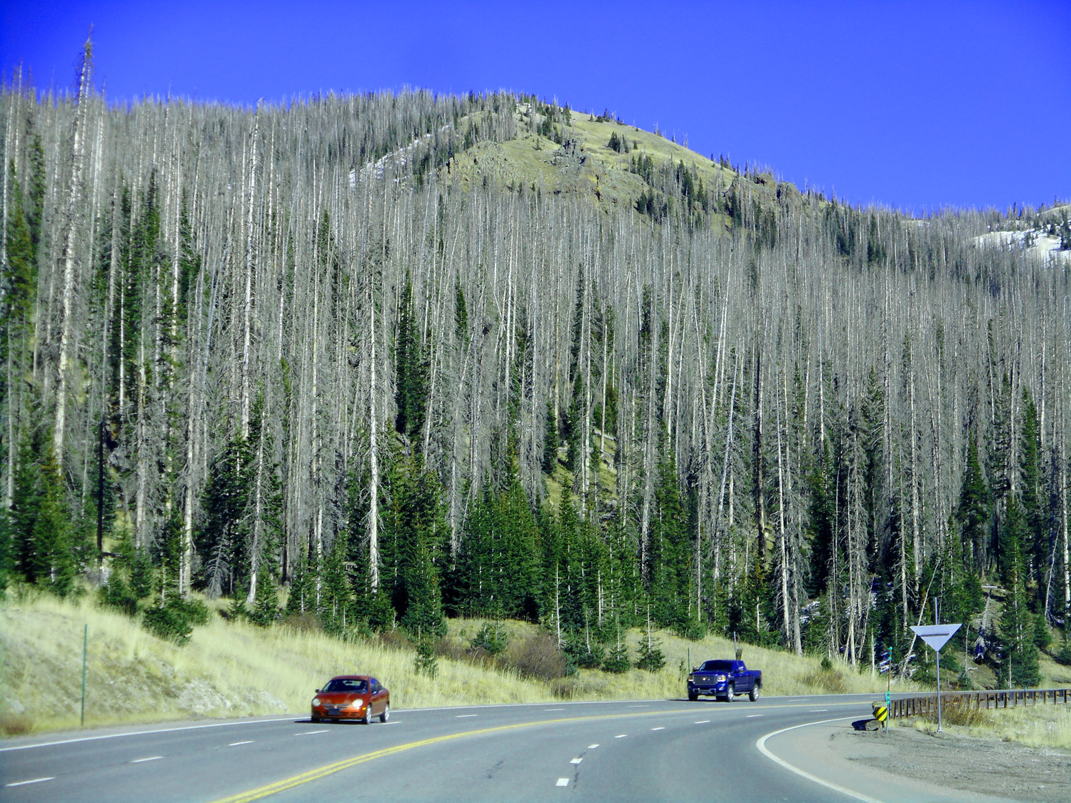
Spruce beatle kill
Nov 11 2021 - 2:02 pm
Nov 11 2021 - 2:02 pm
41 / 81
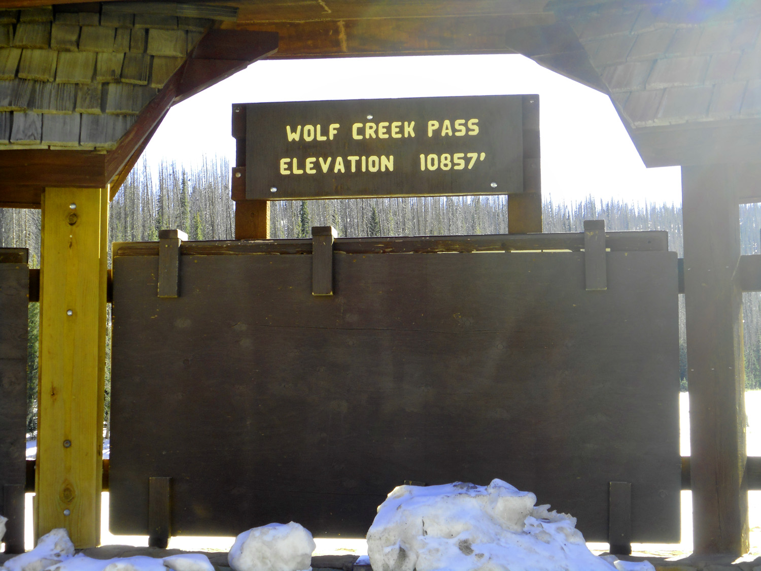
Wolf Creek Pass (San Juan River drainage to the west and Rio Grande drainage to the east)
Nov 11 2021 - 2:06 pm
Nov 11 2021 - 2:06 pm
42 / 81
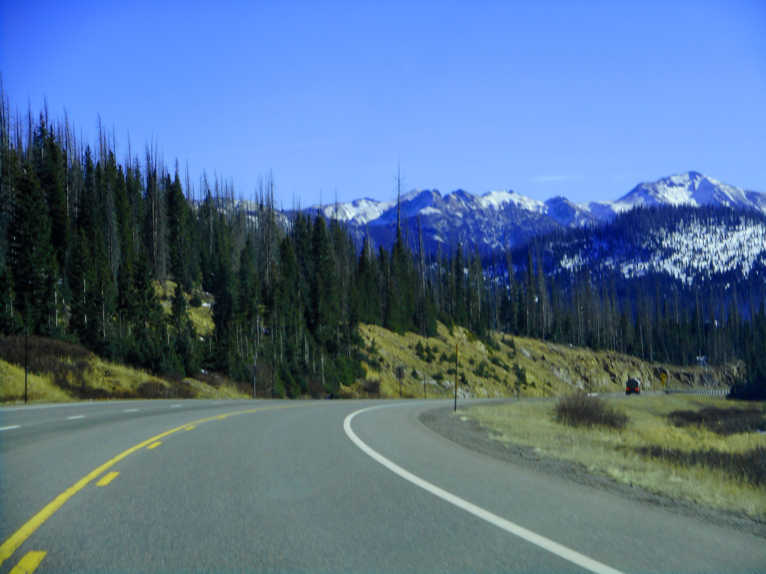
Mt. Hope (12,834'), Sawtooth Mountain (12,605') and Table Mountain (12,688') (east of the pass)
Nov 11 2021 - 2:06 pm
Nov 11 2021 - 2:06 pm
43 / 81
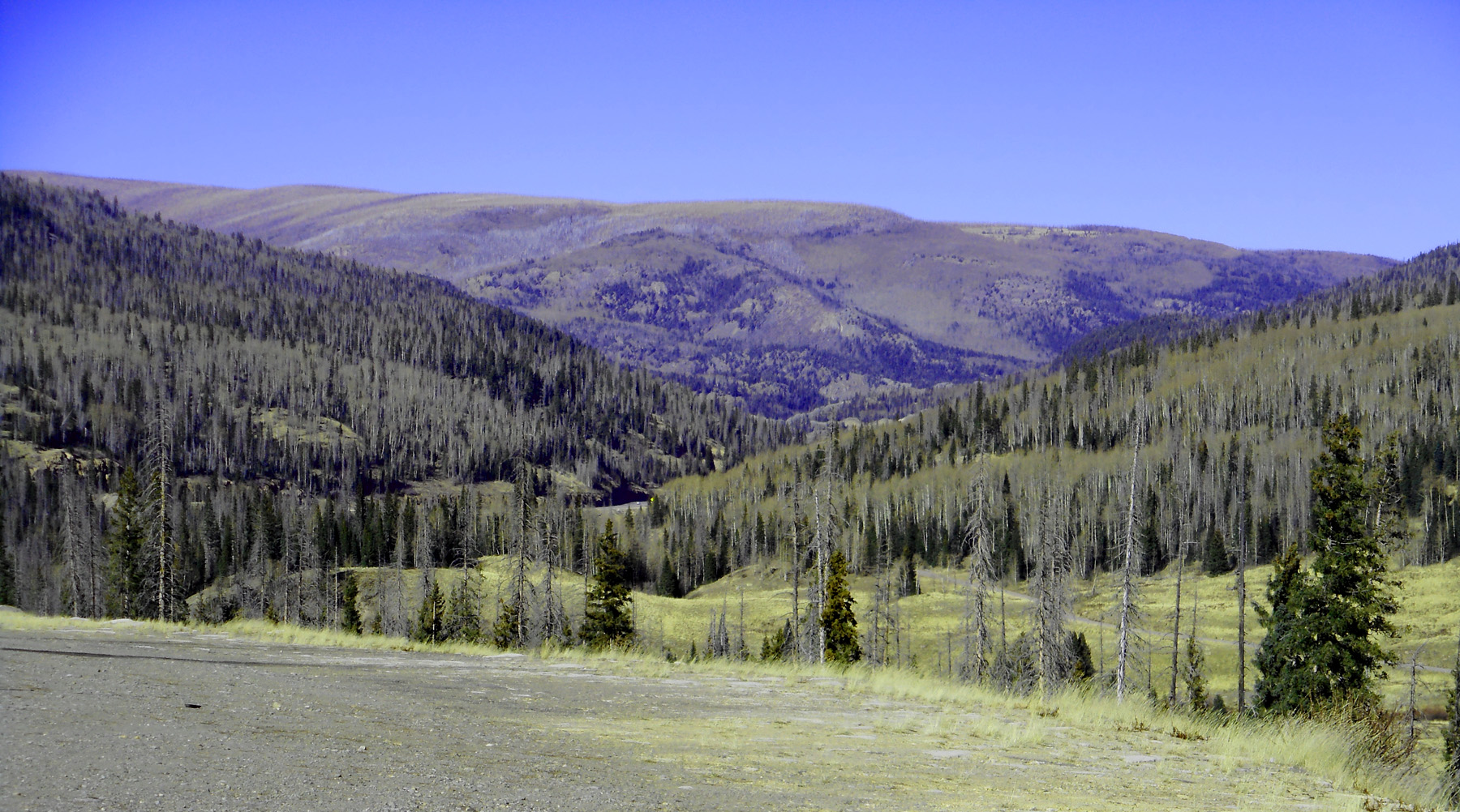
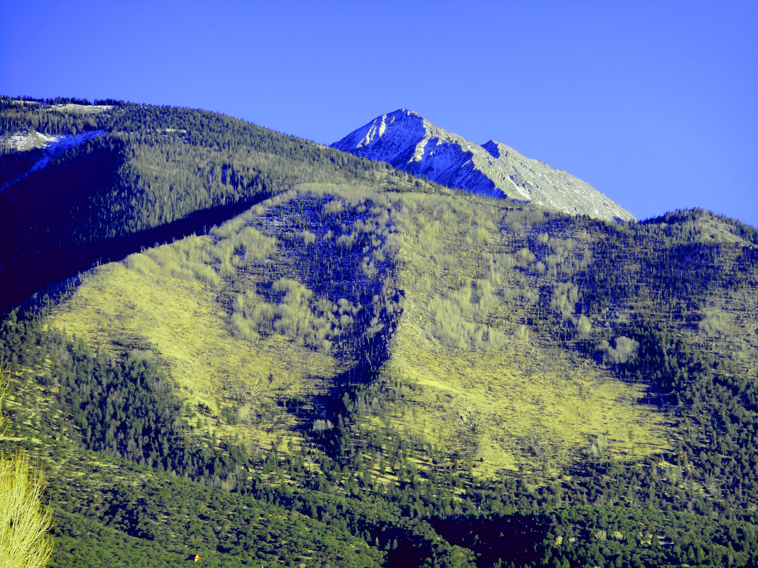
Spruce kill (gray) east of pass mixed with aspen (light green) and fir (dark green)
Nov 11 2021 - 2:10 pm
Nov 11 2021 - 2:10 pm
44 / 81
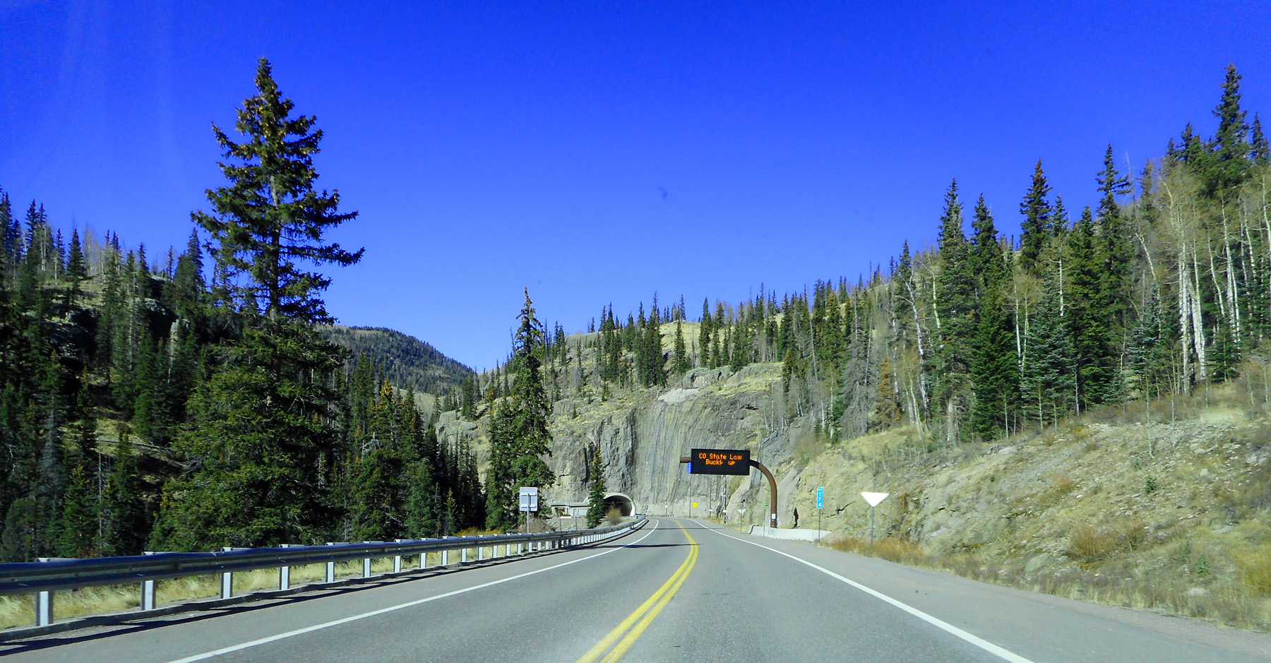
Tunnel through welded tuff
Nov 11 2021 - 2:14 pm
Nov 11 2021 - 2:14 pm
45 / 81
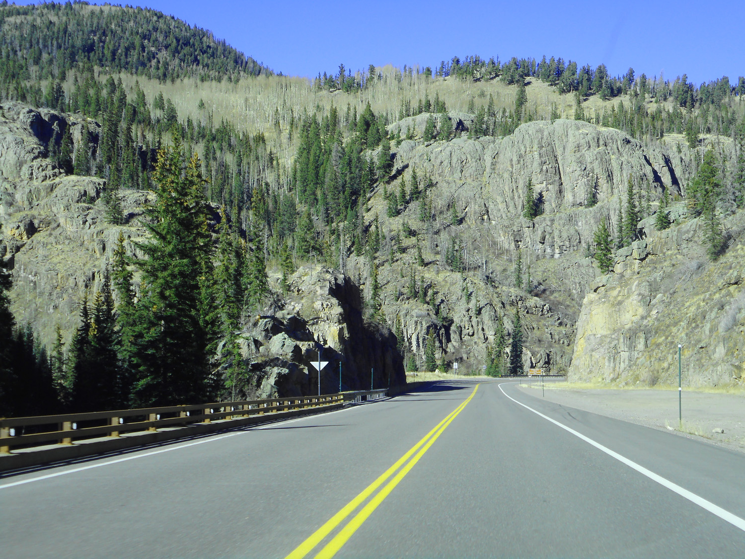
Other end of the tunnel
Nov 11 2021 - 2:15 pm
Nov 11 2021 - 2:15 pm
46 / 81
South Fork Rio Grande
Nov 11 2021 - 2:18 pm
Nov 11 2021 - 2:18 pm
47 / 81
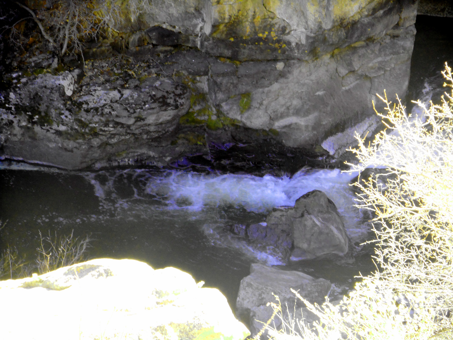
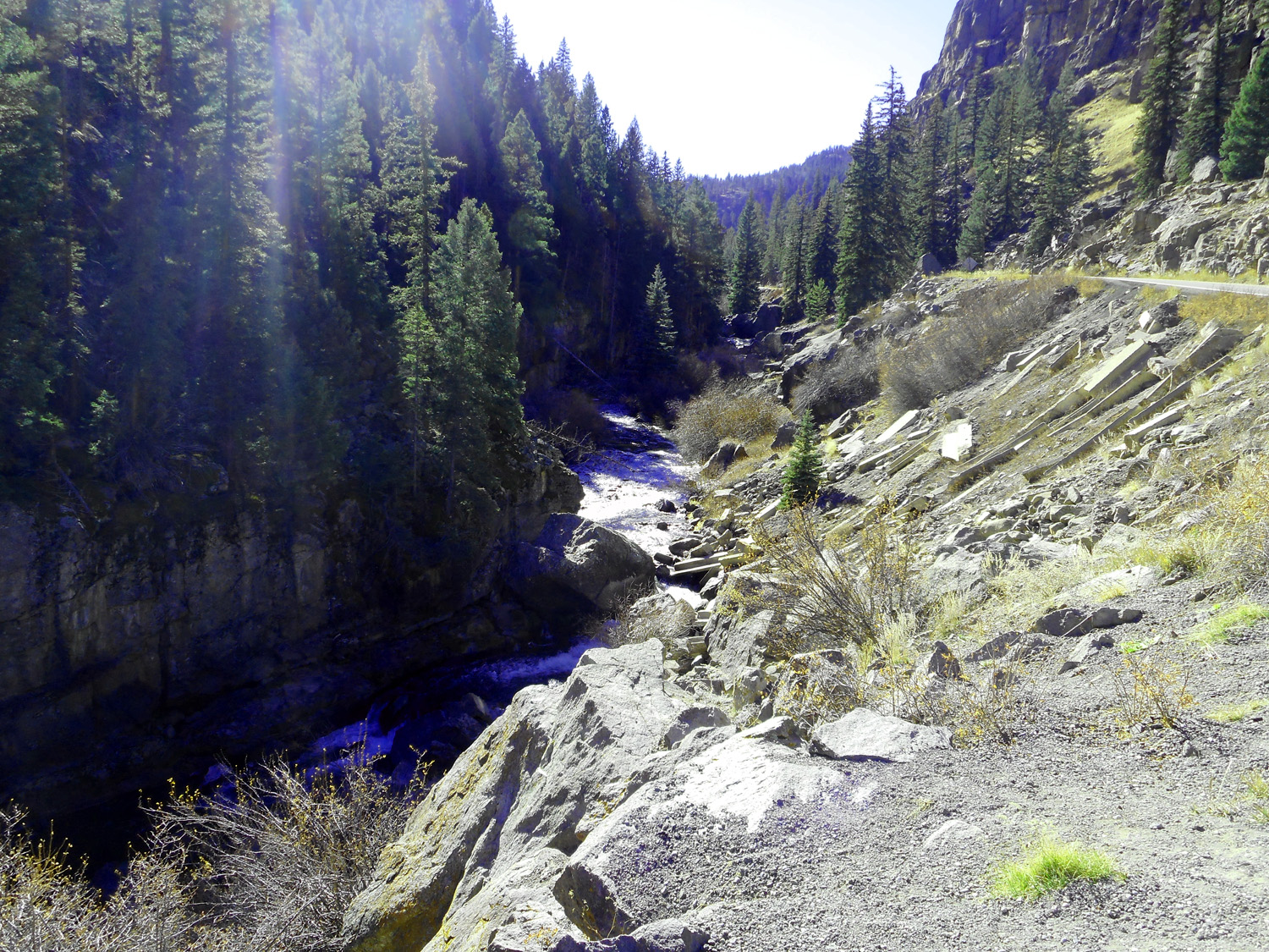
Welded tuff is no match for the erosive power of rivers
Nov 11 2021 - 2:18 pm
Nov 11 2021 - 2:18 pm
48 / 81
But sufficent to form cliffs
Nov 11 2021 - 2:27 pm
Nov 11 2021 - 2:27 pm
49 / 81
South Fork, CO where South Fork Rio Grande meets the main branch of Rio Grande flowing from Creede
Nov 11 2021 - 2:58 pm
Nov 11 2021 - 2:58 pm
50 / 81
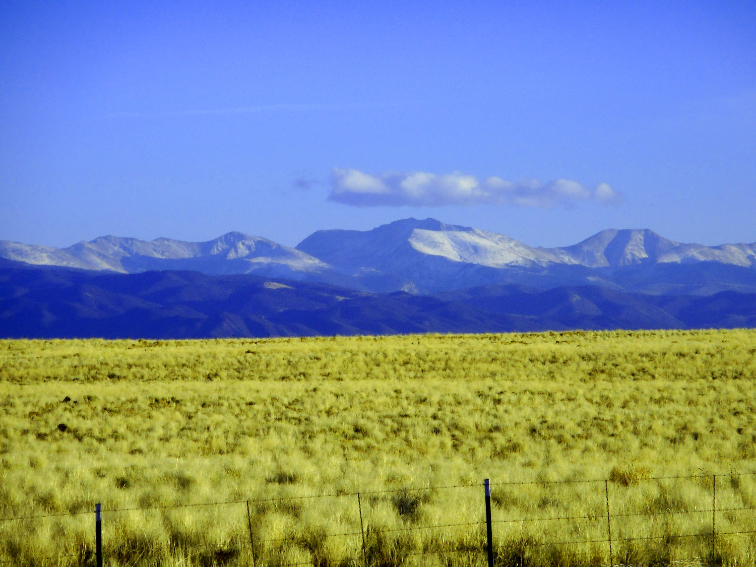
Abundant views of the Sangre de Cristos from US 160 as it crosses San Luis Valley
Nov 11 2021 - 3:08 pm
Nov 11 2021 - 3:08 pm
51 / 81
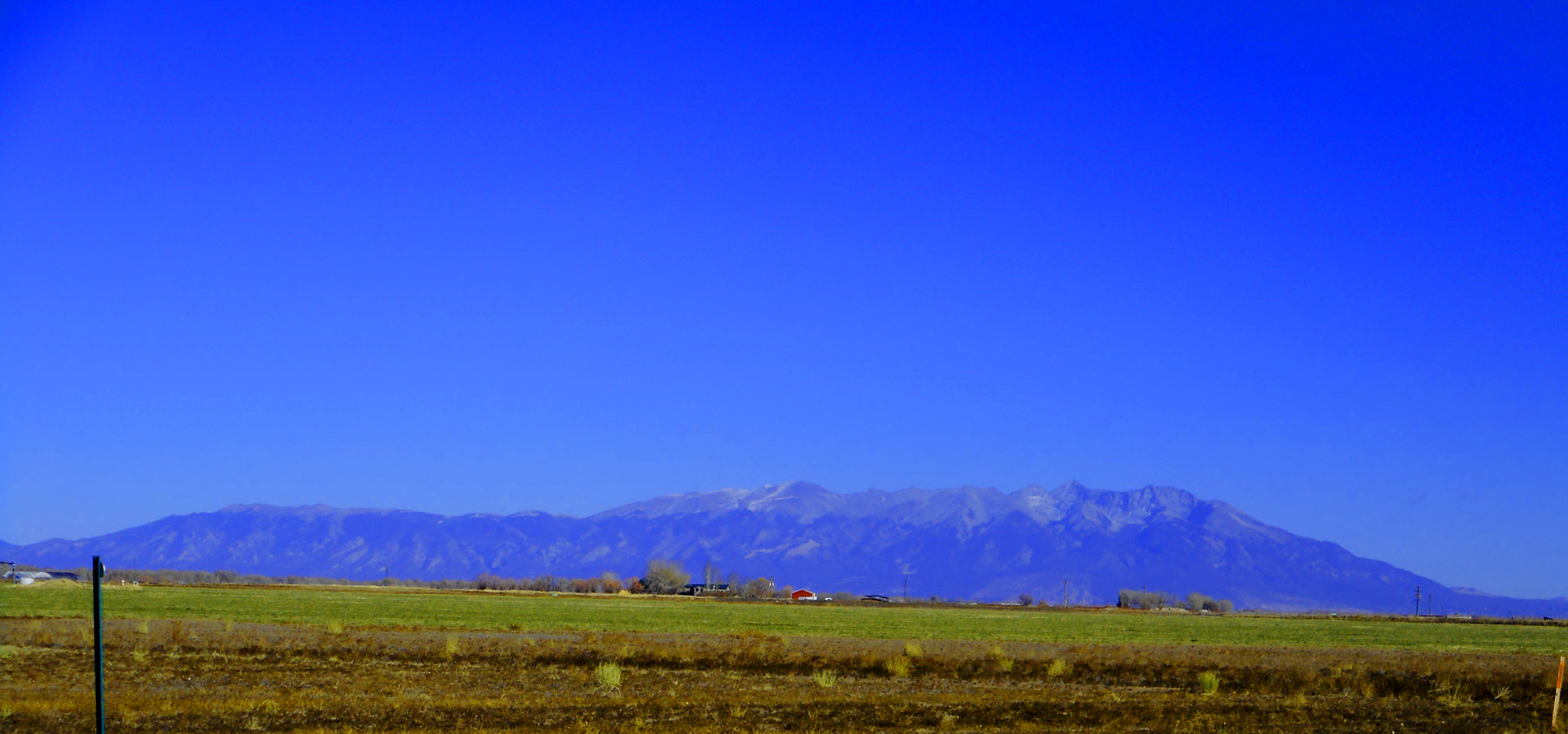
Blanca Peak Group of four 14ers: Blanca Peak (14,351'), Ellingwood Point (14,048'), Mt. Lindsey (14,048') and Little Bear Peak (14,037')
Nov 11 2121 - 3:18 pm
Nov 11 2121 - 3:18 pm
52 / 81
Closer view
Nov 11 2021 - 3:50 pm
Nov 11 2021 - 3:50 pm
53 / 81
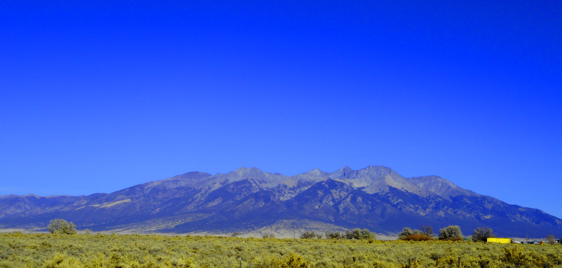
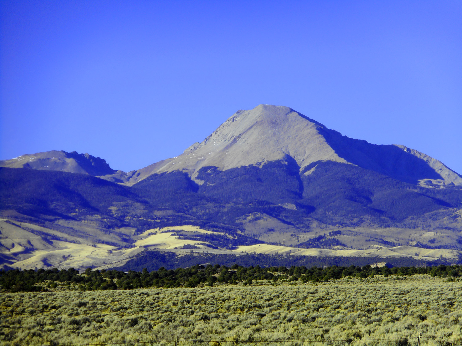
Blanca (White) Peak
Nov 11 2021 - 3:18 pm
Nov 11 2021 - 3:18 pm
54 / 81
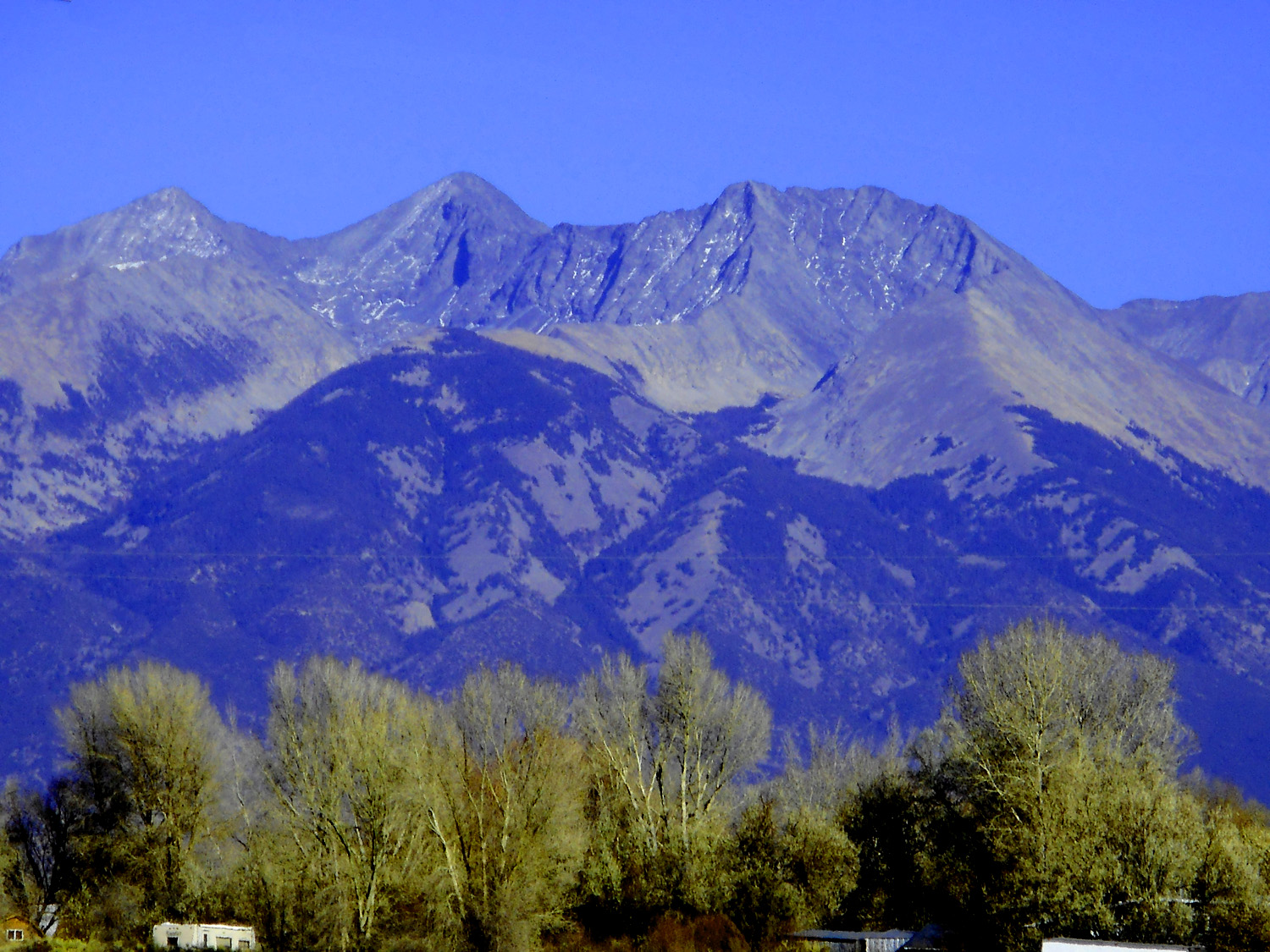
Telephoto of Blanca Peak (center) paired with Ellingwood Point (left) and Little Bear Peak (right)
Nov 11 2021 - 3:44 pm
Nov 11 2021 - 3:44 pm
55 / 81
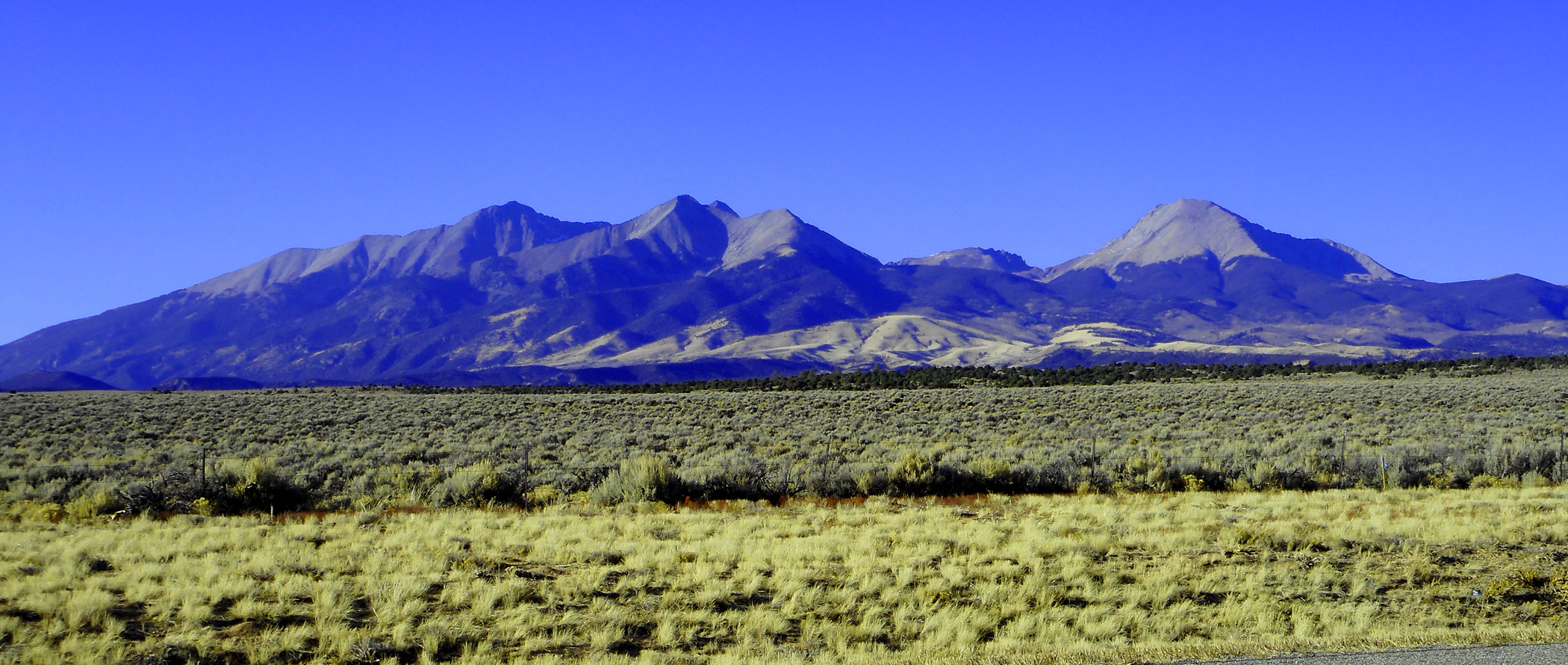
Crestone Group of five 14ers: Crestone Peak (14,294'), Crestone Needle (14,197'), Kit Carson Mountain (14,165'), Challenger Point (14,081'), and Humboldt Peak (14,064')
Nov 11 2121 - 3:50 pm
Nov 11 2121 - 3:50 pm
56 / 81
Cluebra Range the southern Sangres in Colorado with the tenth 14er of the Sangres, Culebra Peak (14,017')
Nov 11 2021 - 3:46 pm
Nov 11 2021 - 3:46 pm
57 / 81
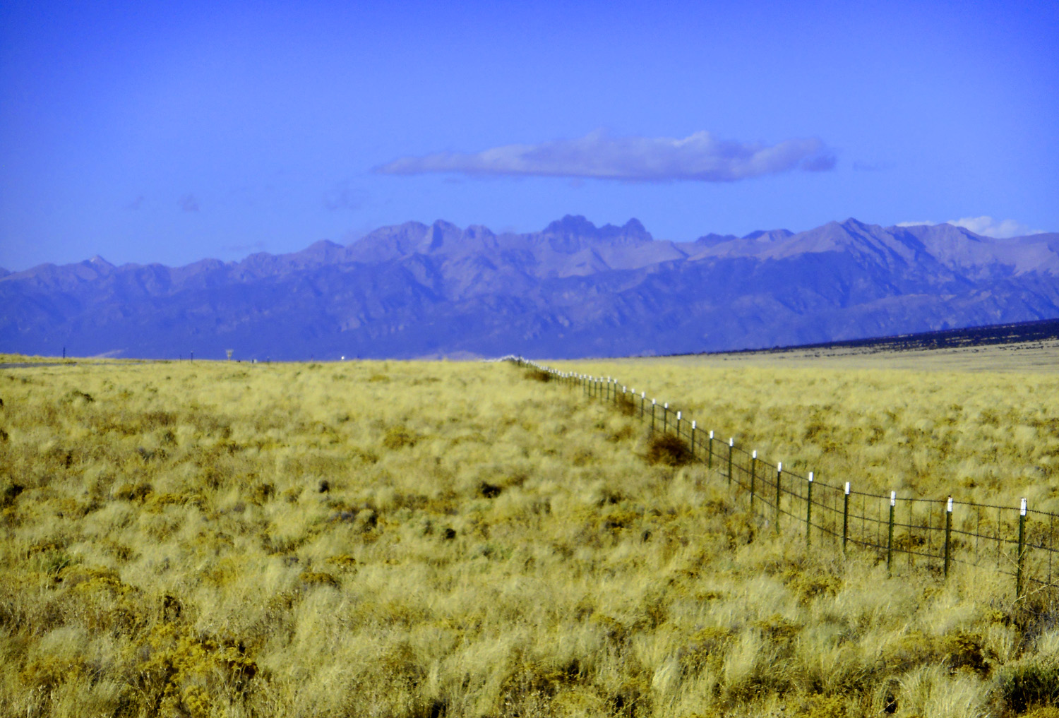
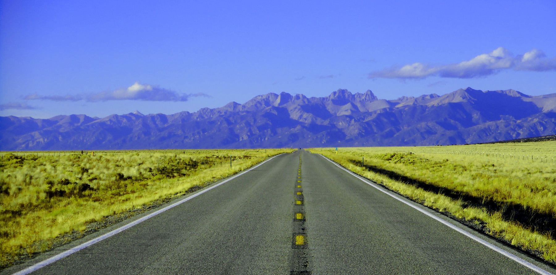
Blanca Peak from a little further east on US 160 (each view along the road is different)
Nov 11 2021 - 4:00 pm
Nov 11 2021 - 4:00 pm
58 / 81
Crestone Group from US 160
Nov 11 2021 - 4:01 pm
Nov 11 2021 - 4:01 pm
59 / 81
North on CO 150:
15 miles one way to Great Dunes National Park
15 miles one way to Great Dunes National Park
60 / 81
10 miles directly north into the Crestone Group of 14ers
Nov 11 2021 - 5:10 pm
Nov 11 2021 - 5:10 pm
61 / 81
Culebra Peak (14,017')
Nov 11 2021 - 5:11 pm
Nov 11 2021 - 5:11 pm
62 / 81
Mt. Herard (13,350') over sand dunes
Nov 11 2021 - 5:19 pm
Nov 11 2021 - 5:19 pm
63 / 81
Last view of Blanca Peak before hidden by foothills
Nov 11 2021 - 5:20 pm
Nov 11 2021 - 5:20 pm
64 / 81
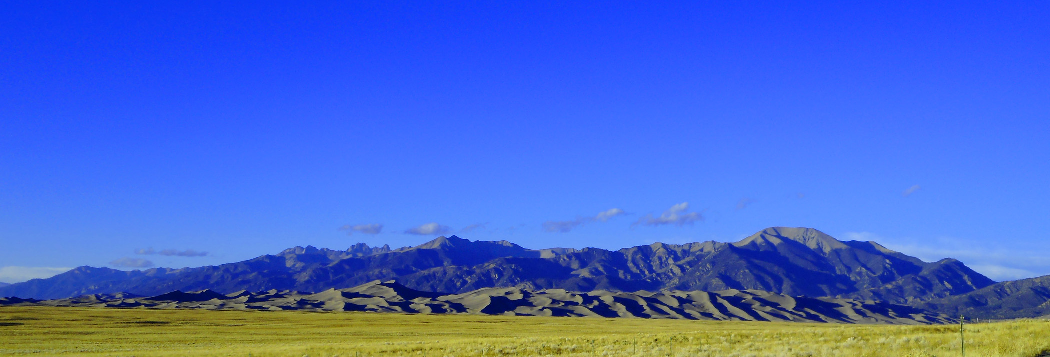
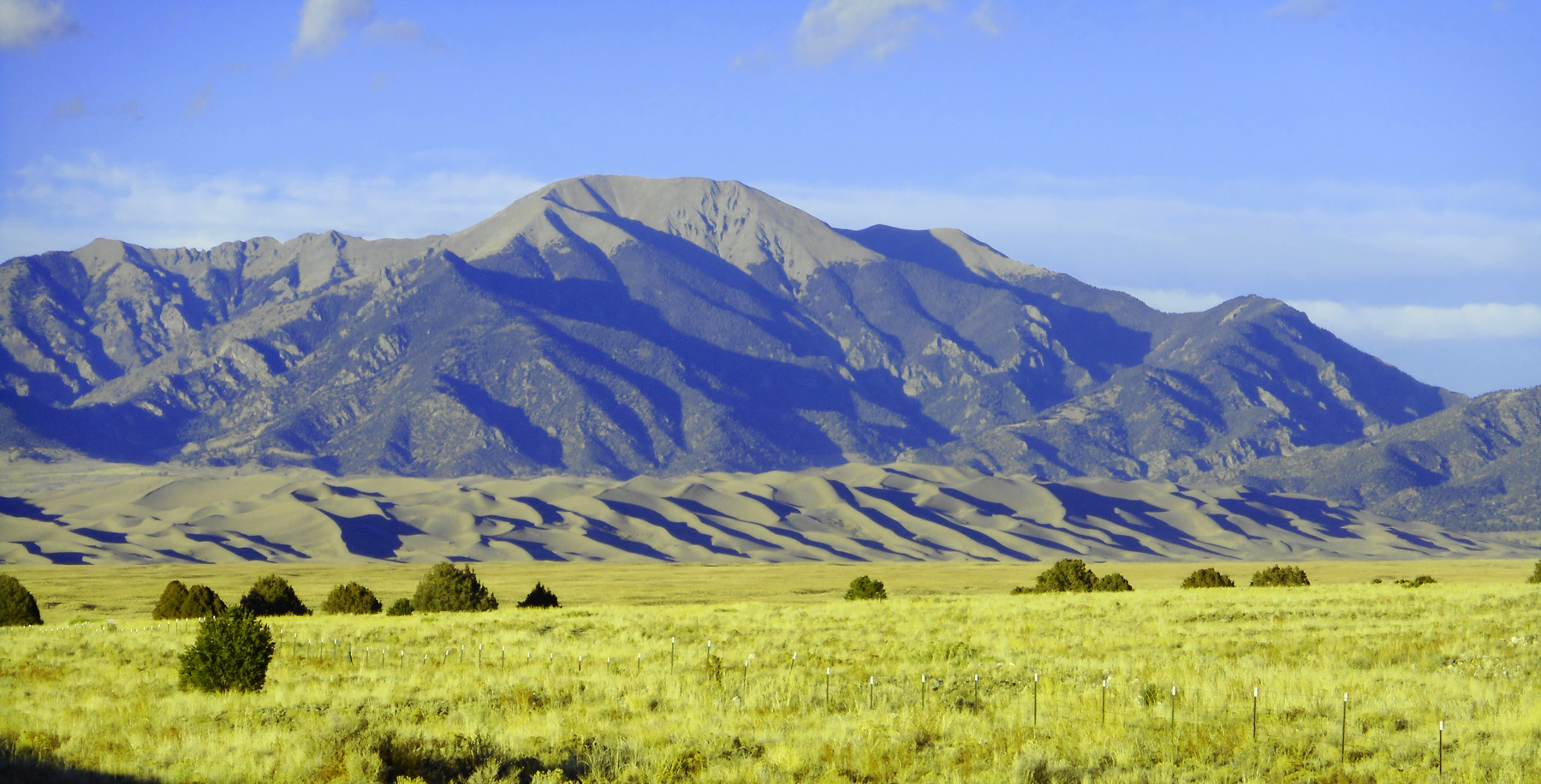
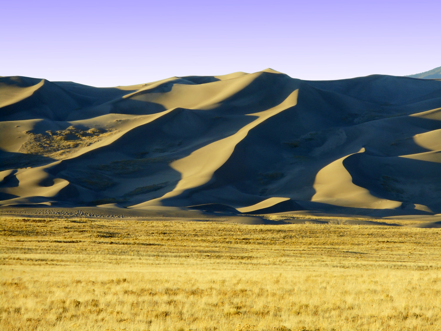
Great Sand Dunes in front Sangre de Cristo Range from Crestone Group through Buzzadine Peak to Mt. Herard
Nov 11 2021 - 5:24 pm
Nov 11 2021 - 5:24 pm
65 / 81
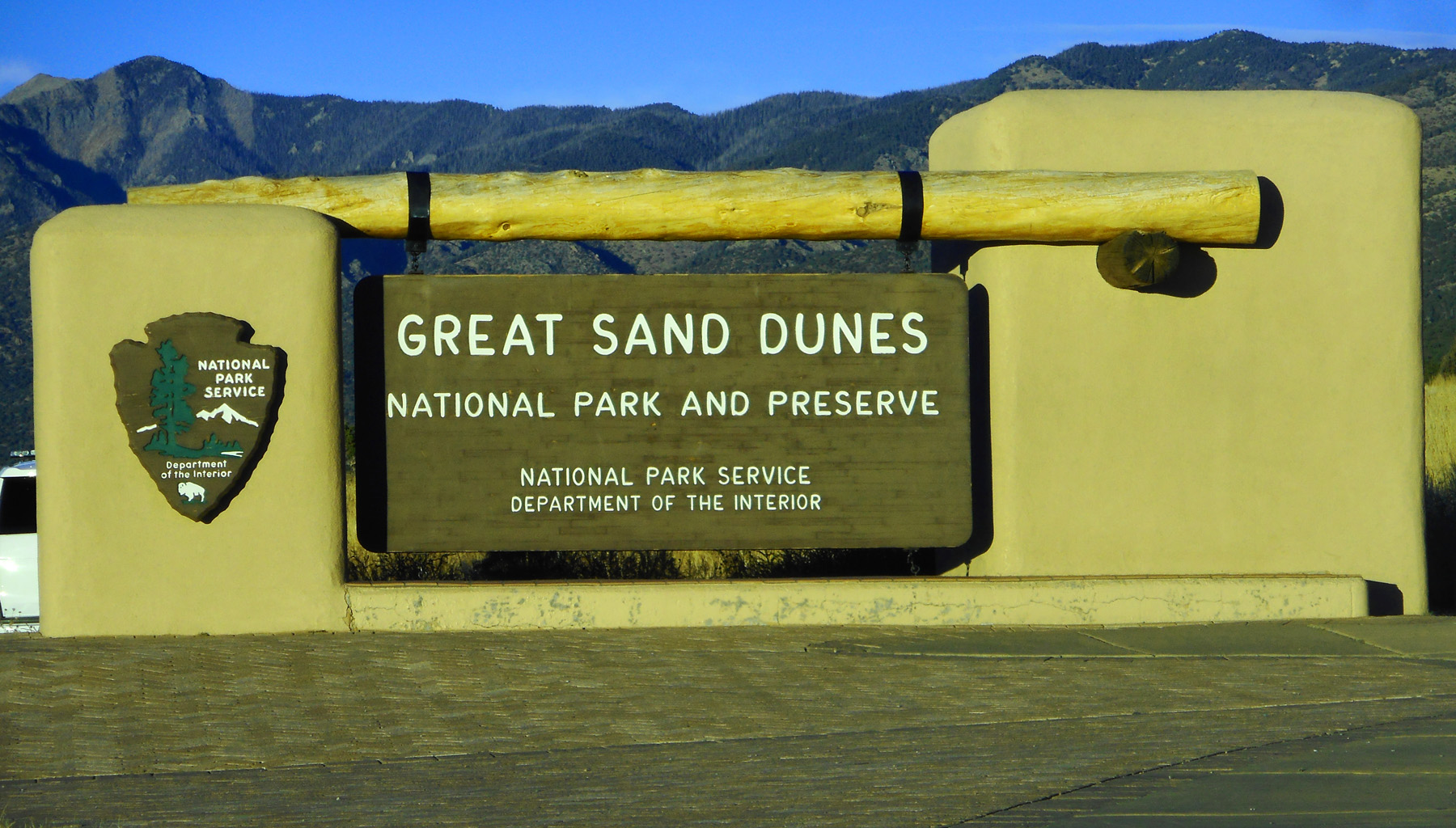
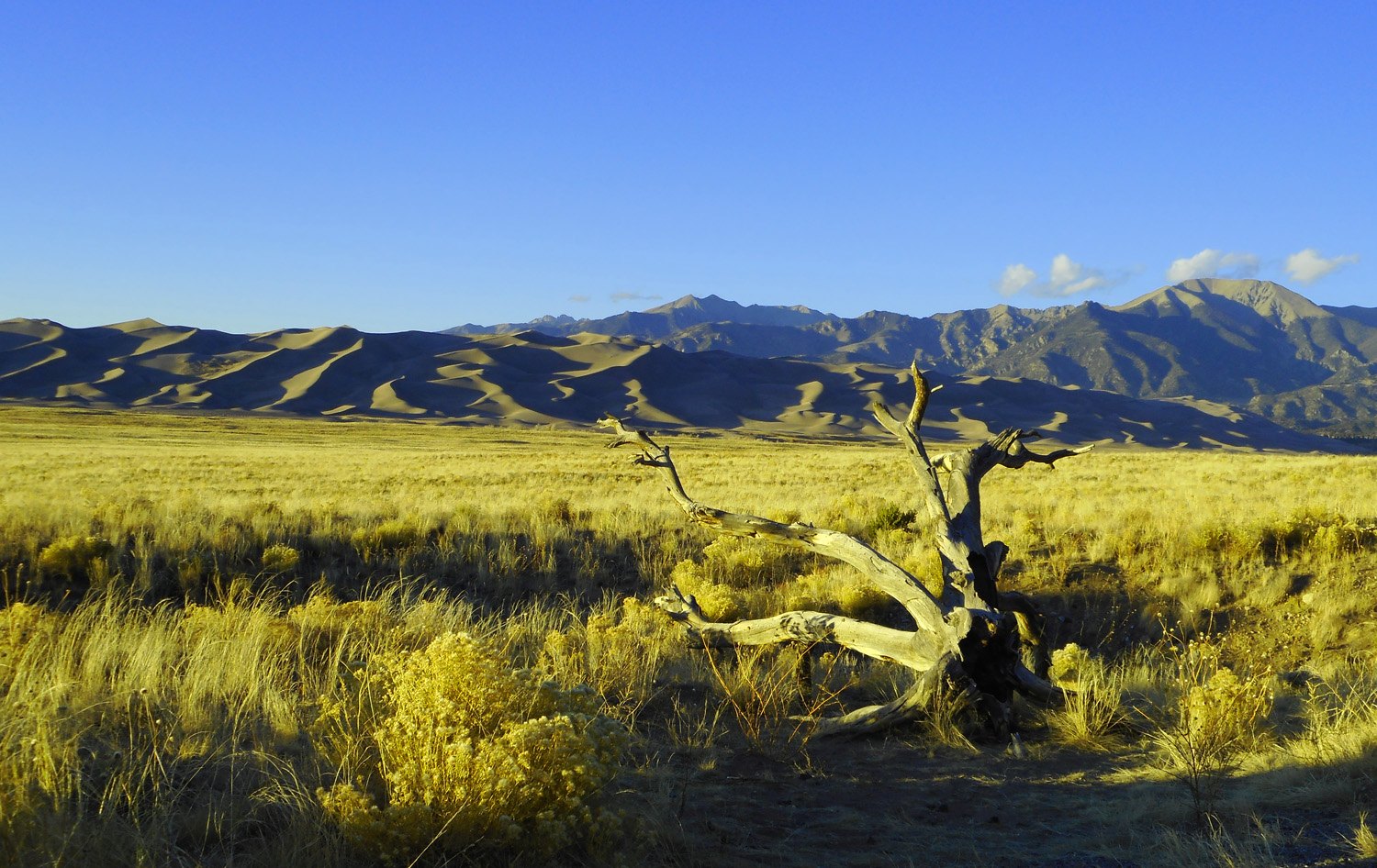
Great Sand Dunes National Park and Preserve (Preserve is-are the nearby Sangre de Cristo Mountains)
Nov 11 2021 - 5:26 pm
Nov 11 2021 - 5:26 pm
66 / 81
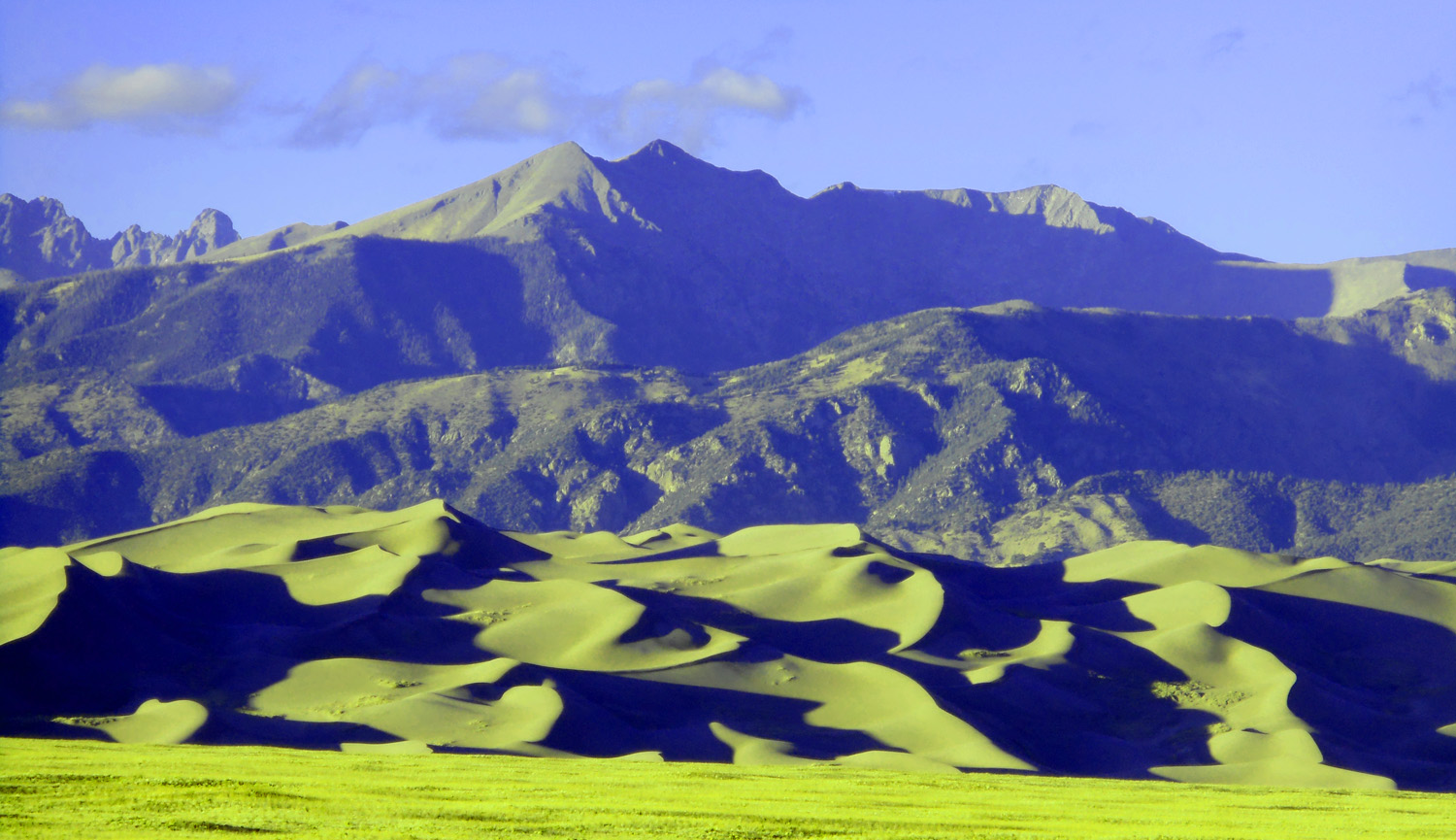
Mt. Herard behind the dunes (left) Crestone Peak (14,294') and Crestone Needle (14,197')
Nov 11 2021 - 5:27 pm
Nov 11 2021 - 5:27 pm
67 / 81
Dunes
Nov 11 2021 - 5:32 pm
Nov 11 2021 - 5:32 pm
68 / 81
Dunes in front of the Sangre de Cristo Range
Nov 11 2021 - 5:32 pm
Nov 11 2021 - 5:32 pm
69 / 81
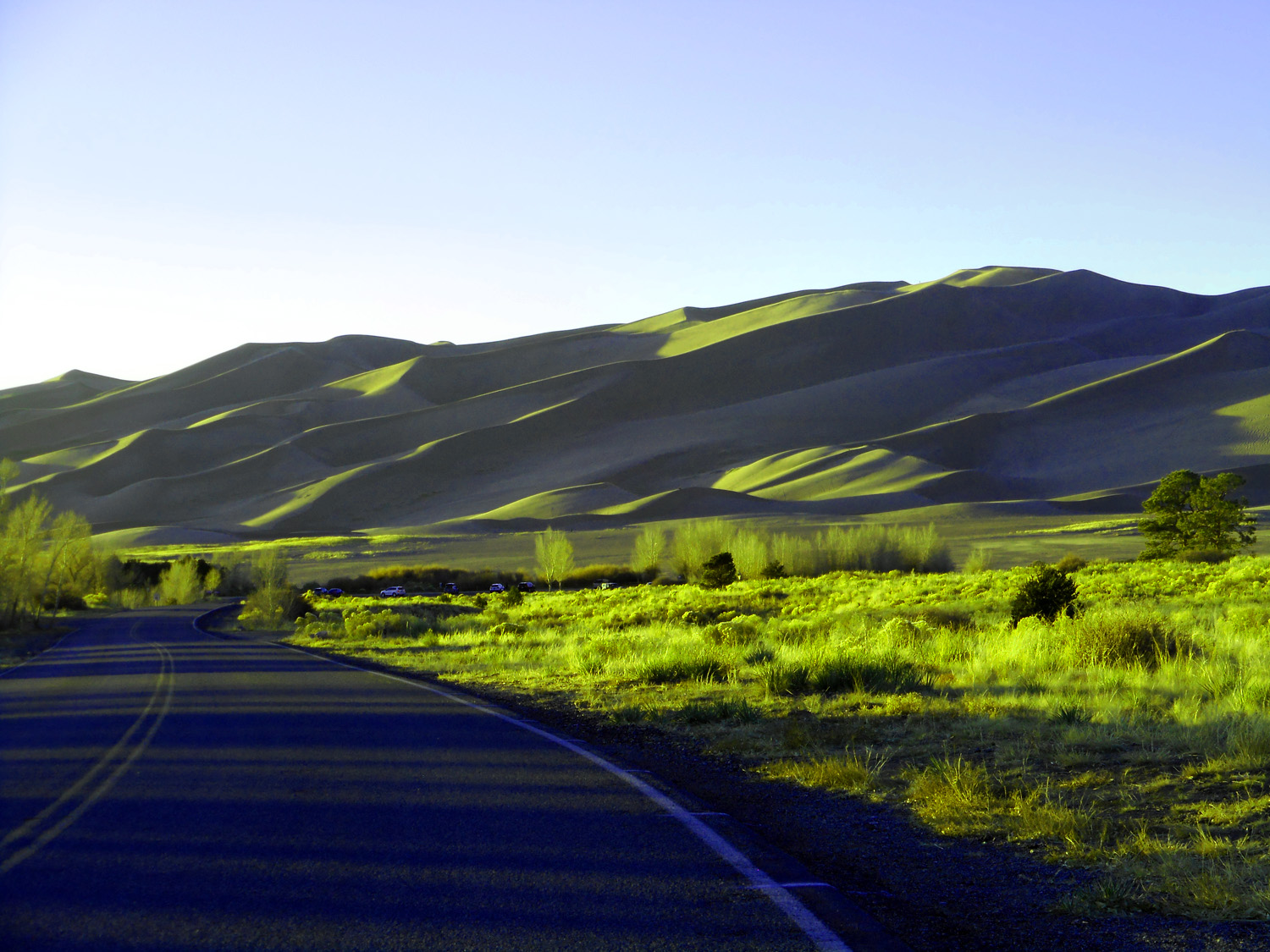
Side road to parking lot (next to Medano Creek that flows along and replenishes the dunes as does Sand Creek on the north side of the dune field)
Nov 11 2021 - 5:36 pm
Nov 11 2021 - 5:36 pm
70 / 81
Medano Creek (dry this time of year)
Nov 11 2021 - 5:39 pm
Nov 11 2021 - 5:39 pm
71 / 81
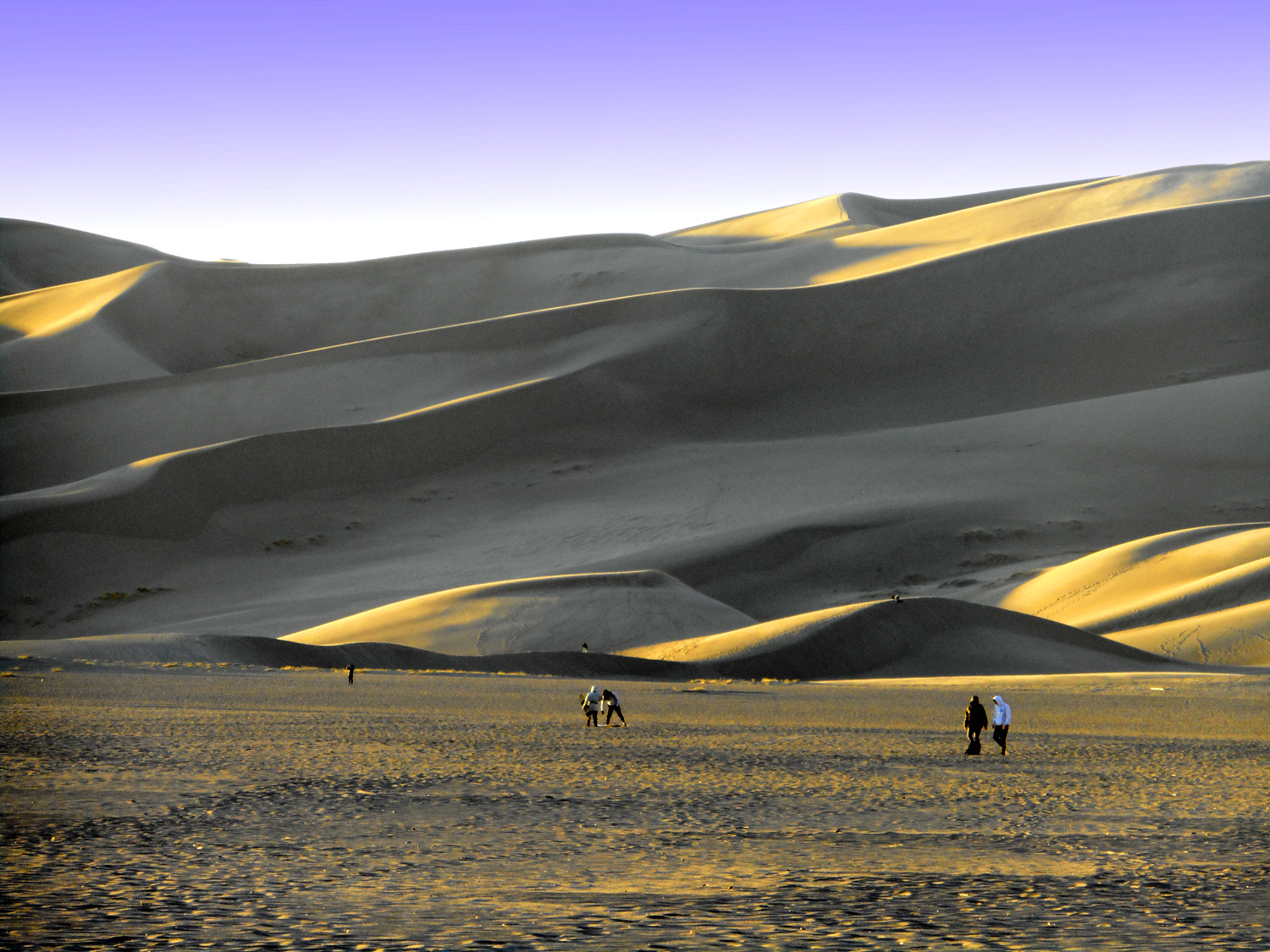
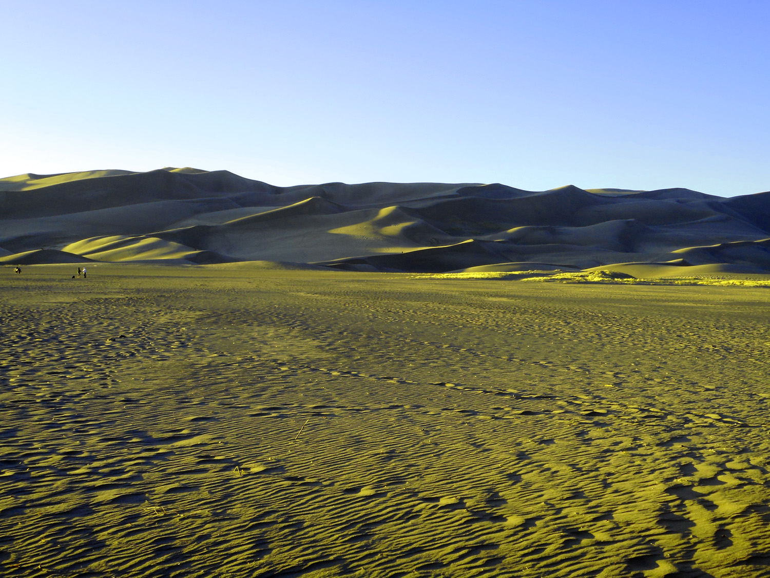
People give scale of dunes
Nov 11 2021 - 5:39 pm
Nov 11 2021 - 5:39 pm
72 / 81
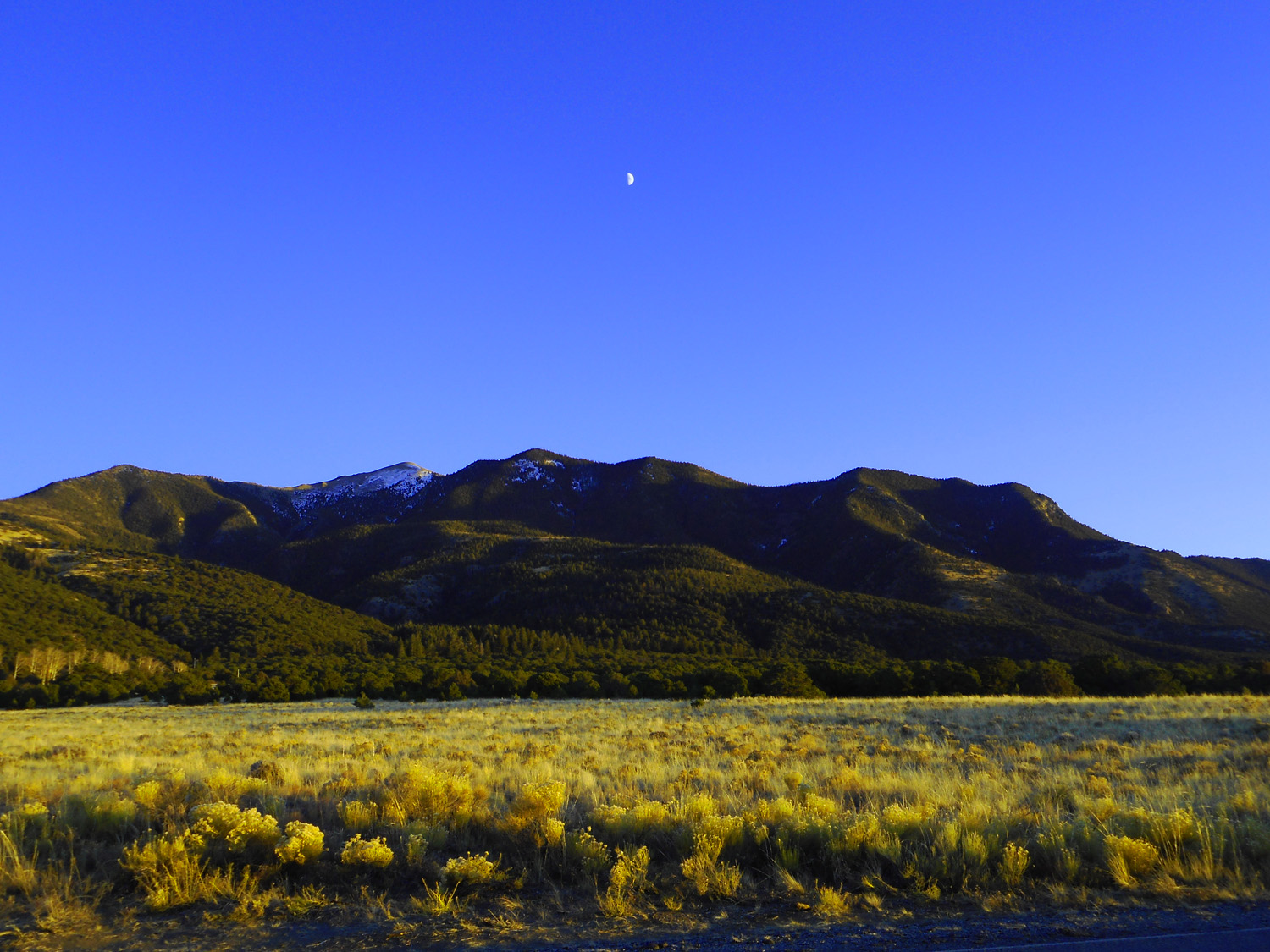
Moon rise over the Sangres
Nov 11 2021 - 5:47 pm
Nov 11 2021 - 5:47 pm
73 / 81

Back to US 160
continuing east to Walsenburg
continuing east to Walsenburg
74 / 81
(from left) Blanca Peak, Little Bear Peak, and Mt. Lindsey (all 14ers)
Nov 11 2021 - 4:17 pm
Nov 11 2021 - 4:17 pm
75 / 81
Telephoto of Mt. Lindsey
Nov 11 2021 - 4:17 pm
Nov 11 2021 - 4:17 pm
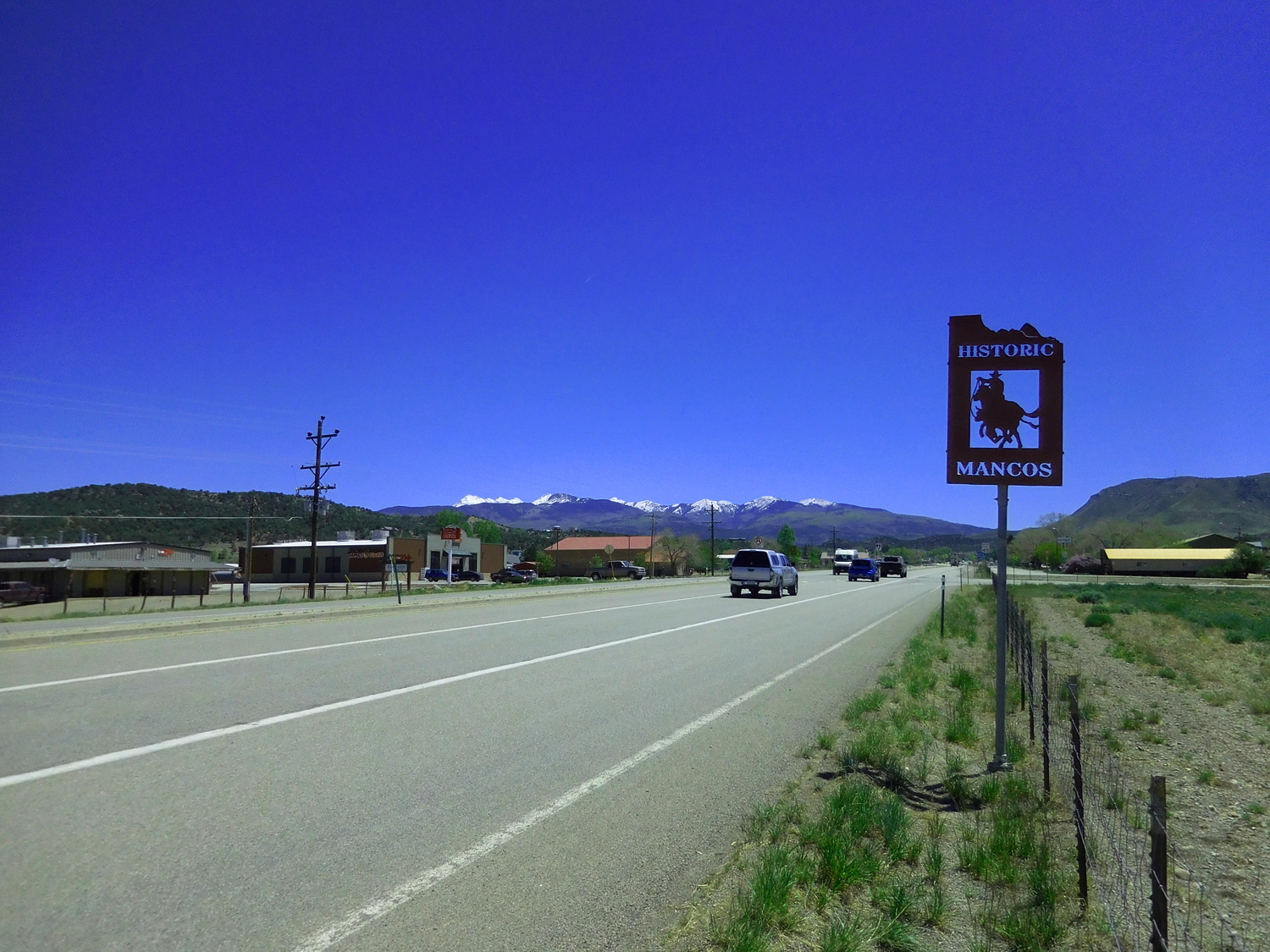
76 / 81
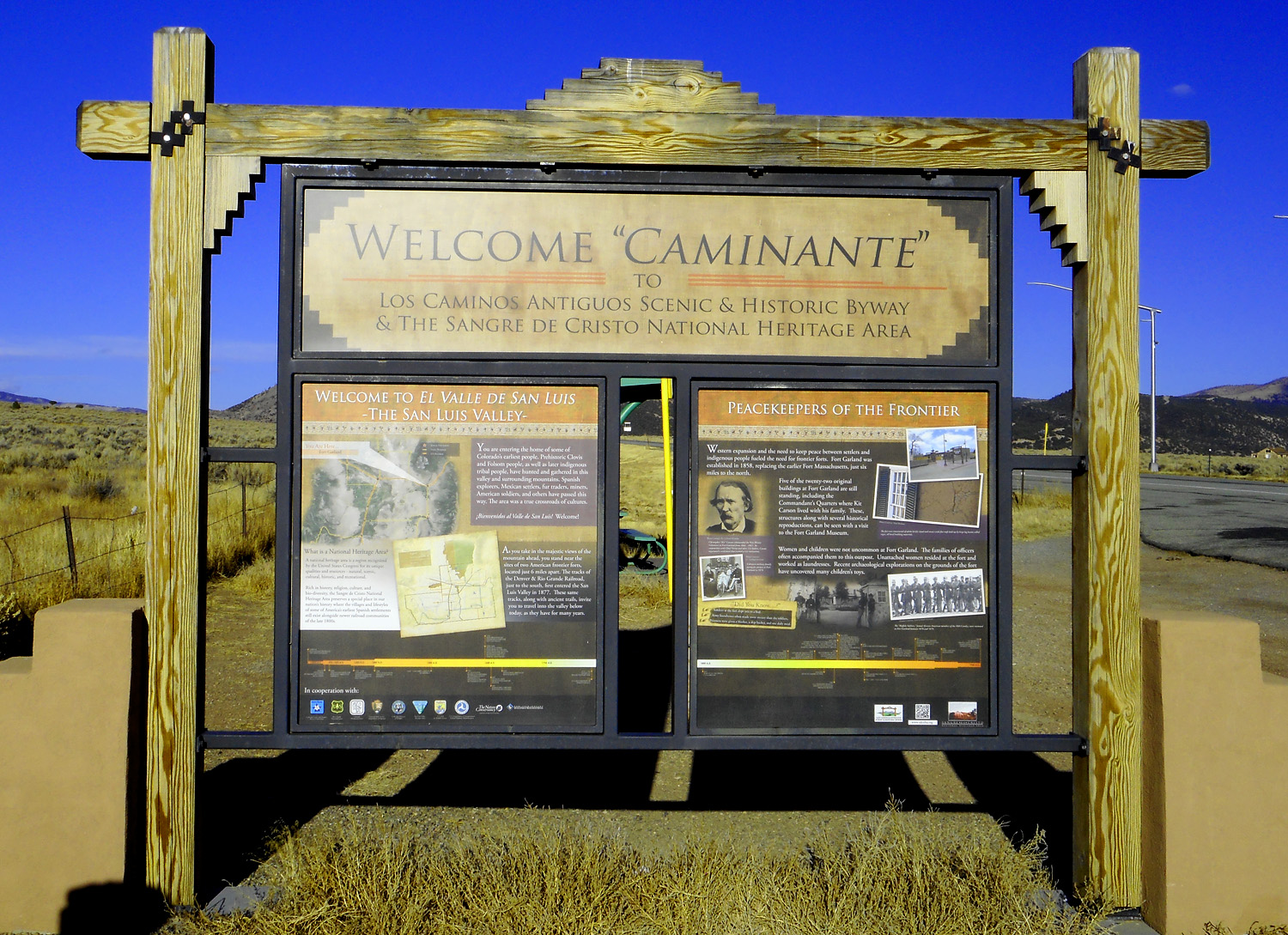
Road Sign
Nov 11 2021 - 4:20 pm
Nov 11 2021 - 4:20 pm
77 / 81
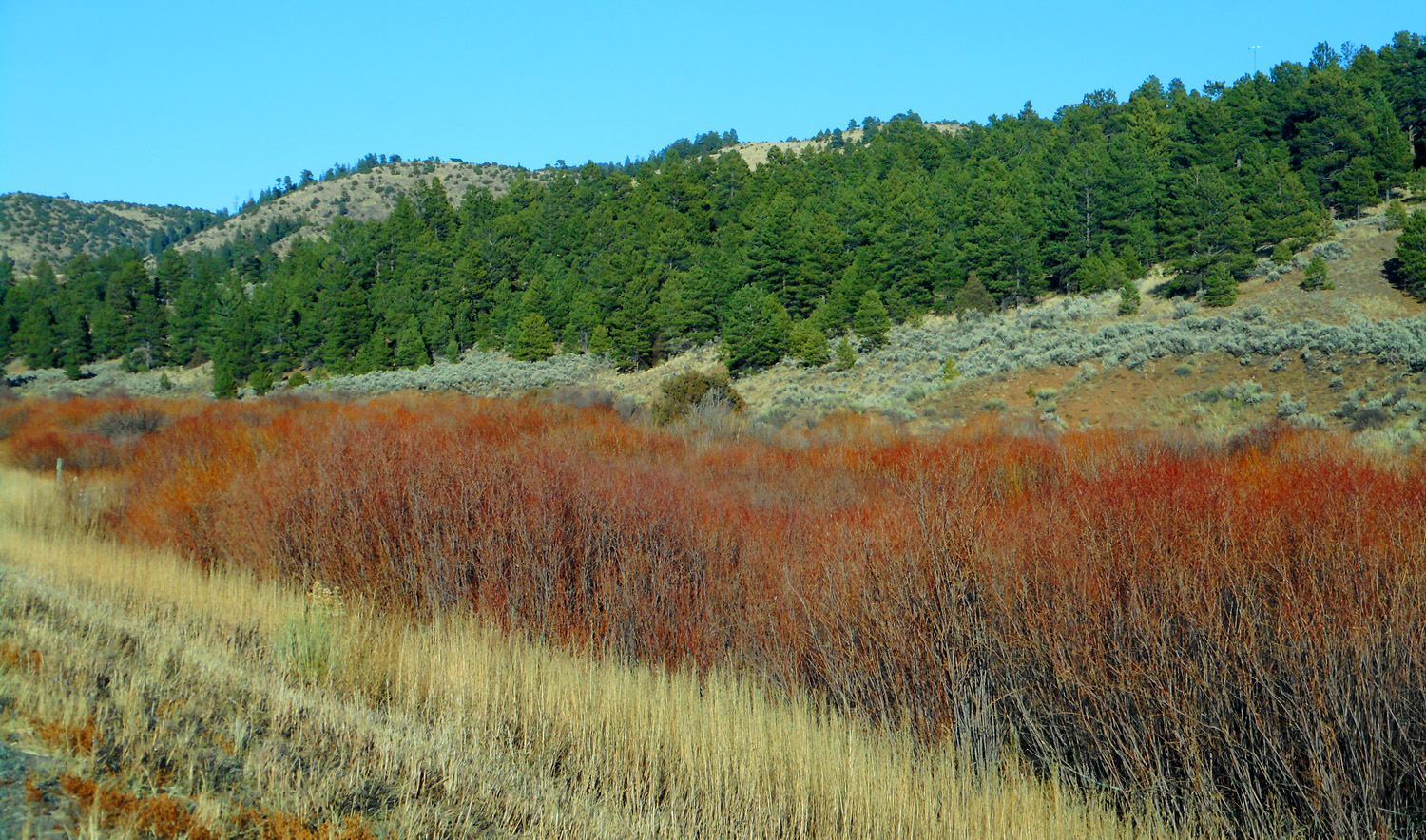
Burnt orange vegetation along Sangre de Cristo Creek
Nov 11 2021 - 4:27 pm
Nov 11 2021 - 4:27 pm
78 / 81
Sangre de Cristo Mountains to North La Veta Pass
Nov 11 2021 - 4:30 pm
Nov 11 2021 - 4:30 pm
19 / 81
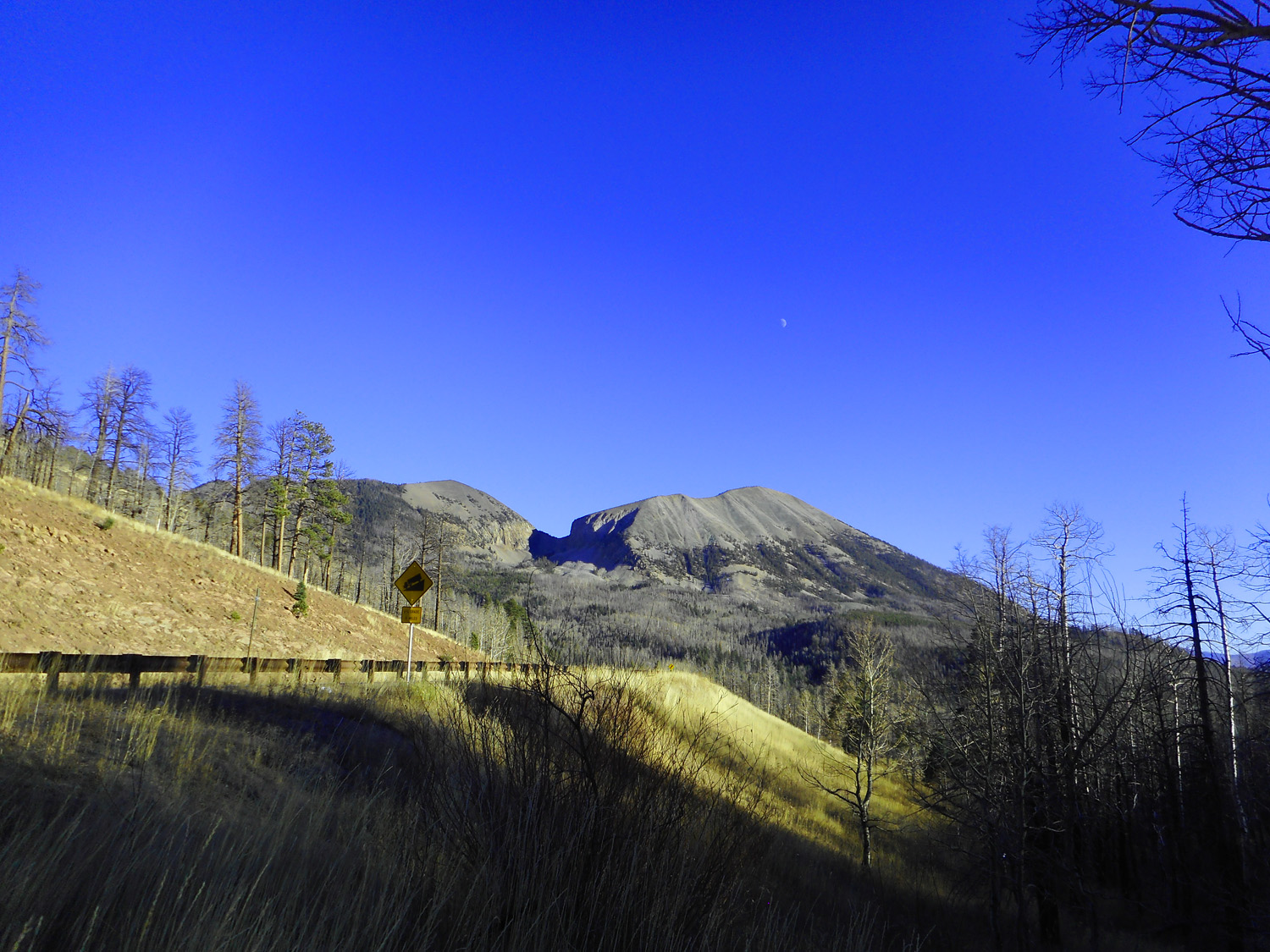
Moon rise east of the pass over Rough Mountain (11,138') and Mt. Mesitas (11,569')
Nov 11 2021 - 4:37 pm
Nov 11 2021 - 4:37 pm
80 / 81
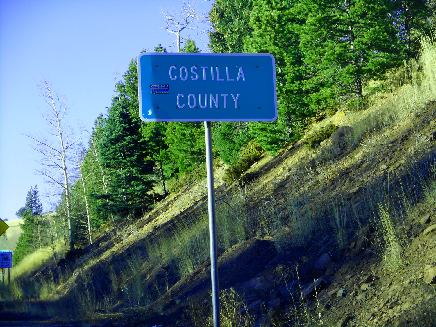
North La Veta Pass: boundary Hueferano and Costilla counties (turn around point)
Nov 11 2021 - 4:38 pm
Nov 11 2021 - 4:38 pm
81 / 81
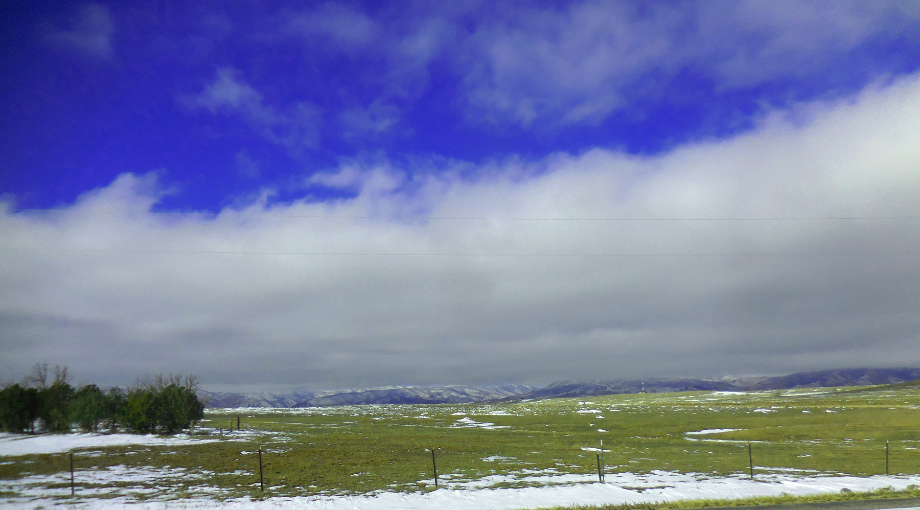
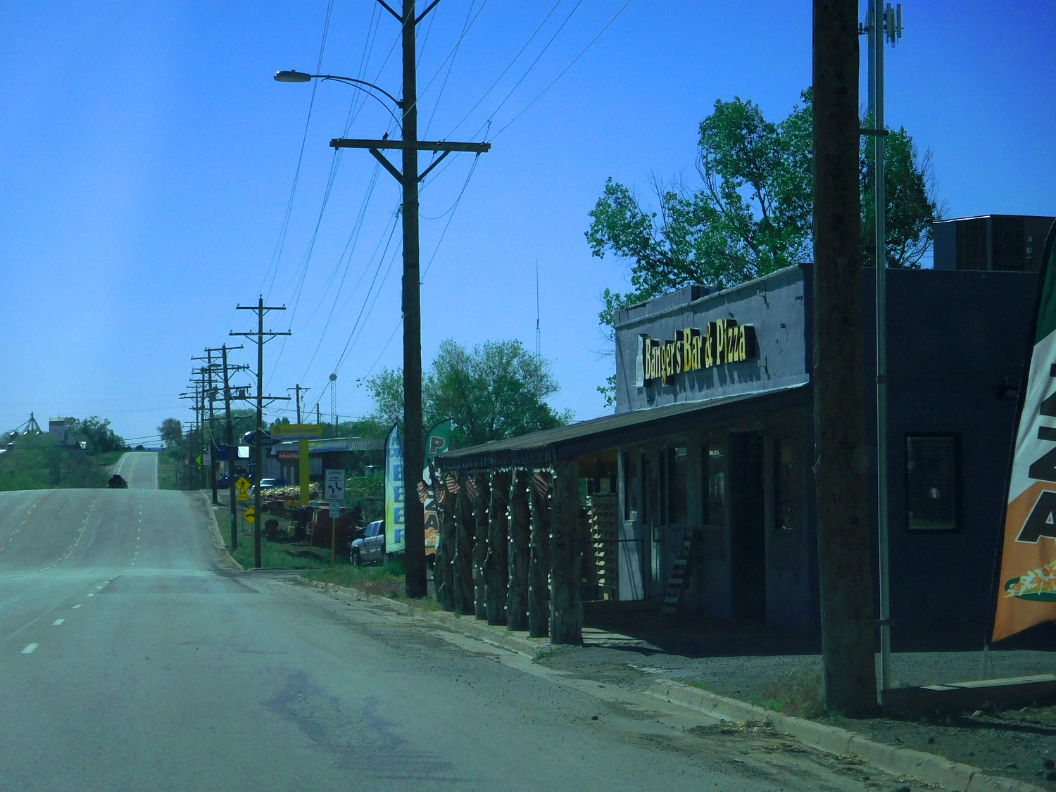
US 160 from end of Sangres at La Veta to Walsenburg is on the Great Plains
Nov 27 2020 - 10:07 am
Nov 27 2020 - 10:07 am