79 Slides
Grand Mesa, Uncompahgre Plateau, Gunnison River, Sawatch Range, Arkansas River, Royal Gorge, Wet Mountains, Dinosaur Tracks
Road Index or use your browser "back" arrow or function 10 second cycle: please choose another user-controlled 2 seconds 5 seconds 30 seconds 1 minute
1 / 79
2 / 79

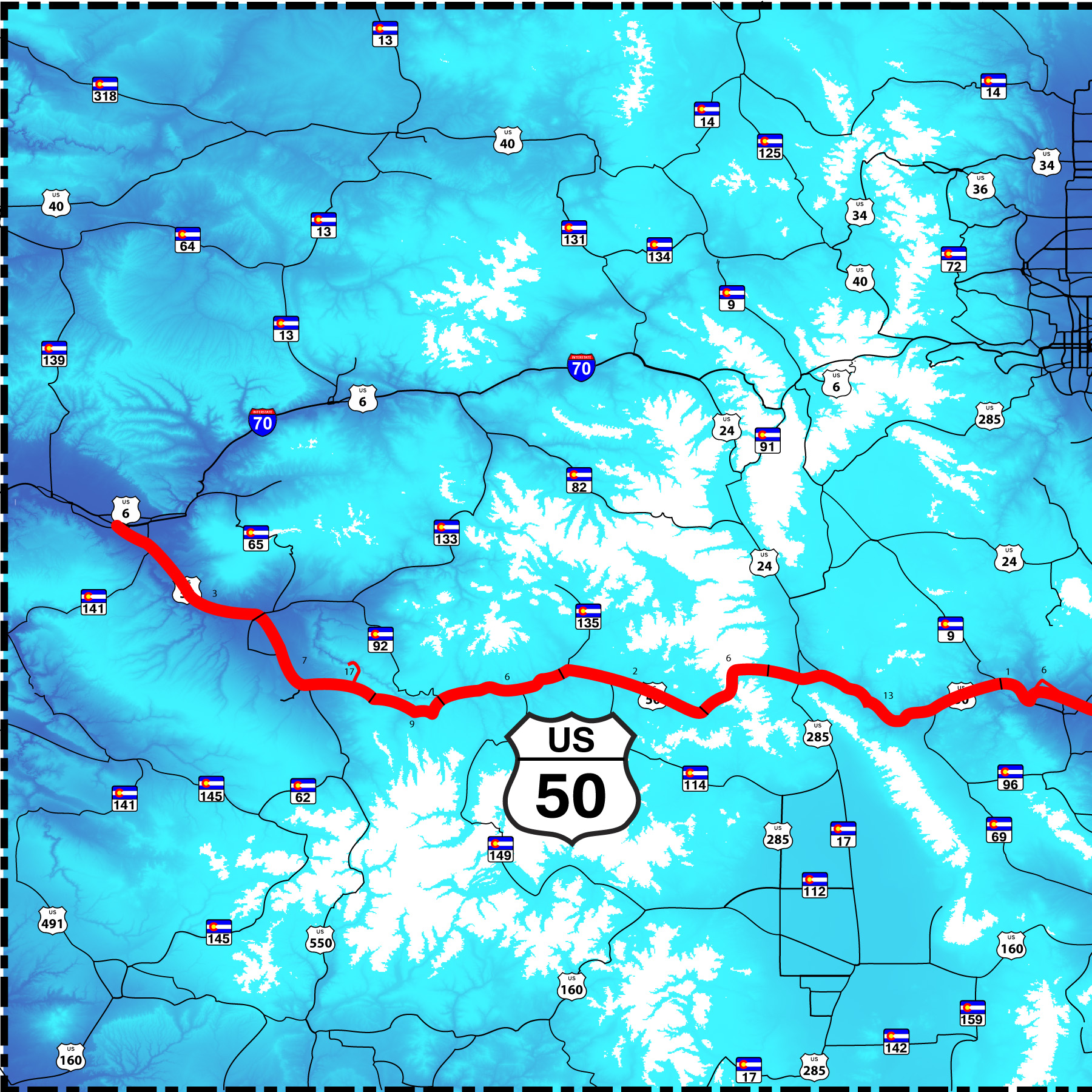
West end of US 50
from Grand Junction west US 50 parallels I-70 from the west Colorado border to Denver and beyond
from Grand Junction west US 50 parallels I-70 from the west Colorado border to Denver and beyond
3 / 79
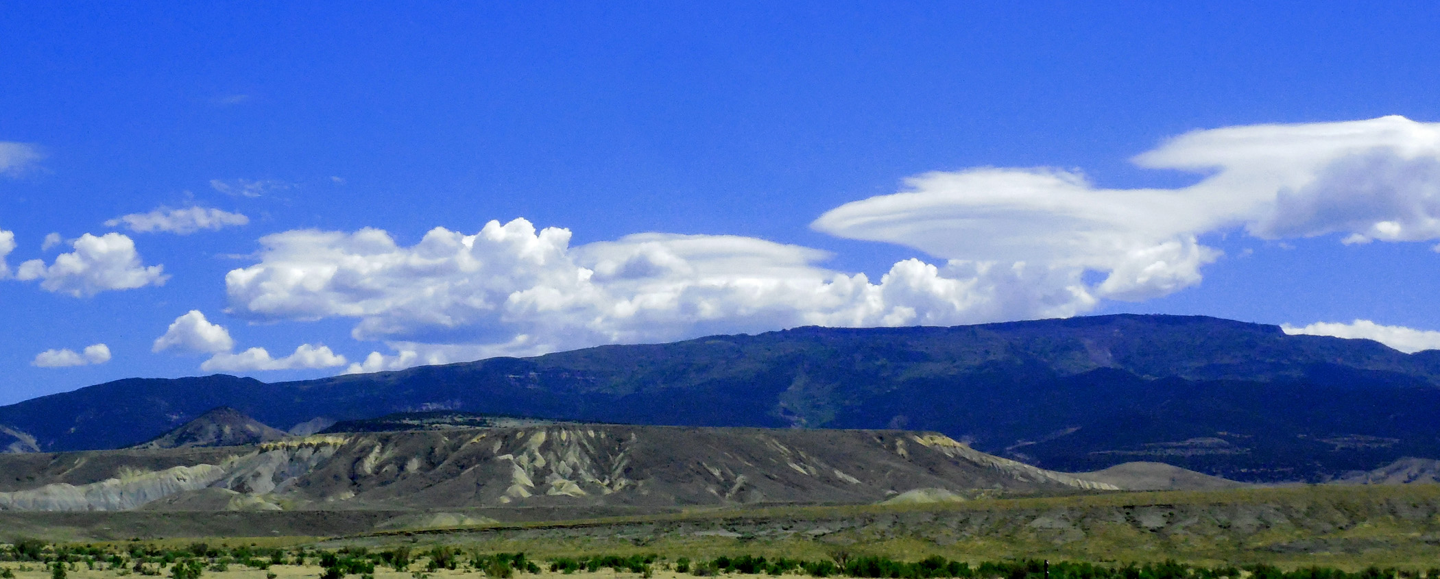
US 50 is the loneliest road in America through Nevada; here it is the main thoroughfare between Montrose and Grand Junction
Nov 24 2020 - 7:18 am
Nov 24 2020 - 7:18 am
4 / 79
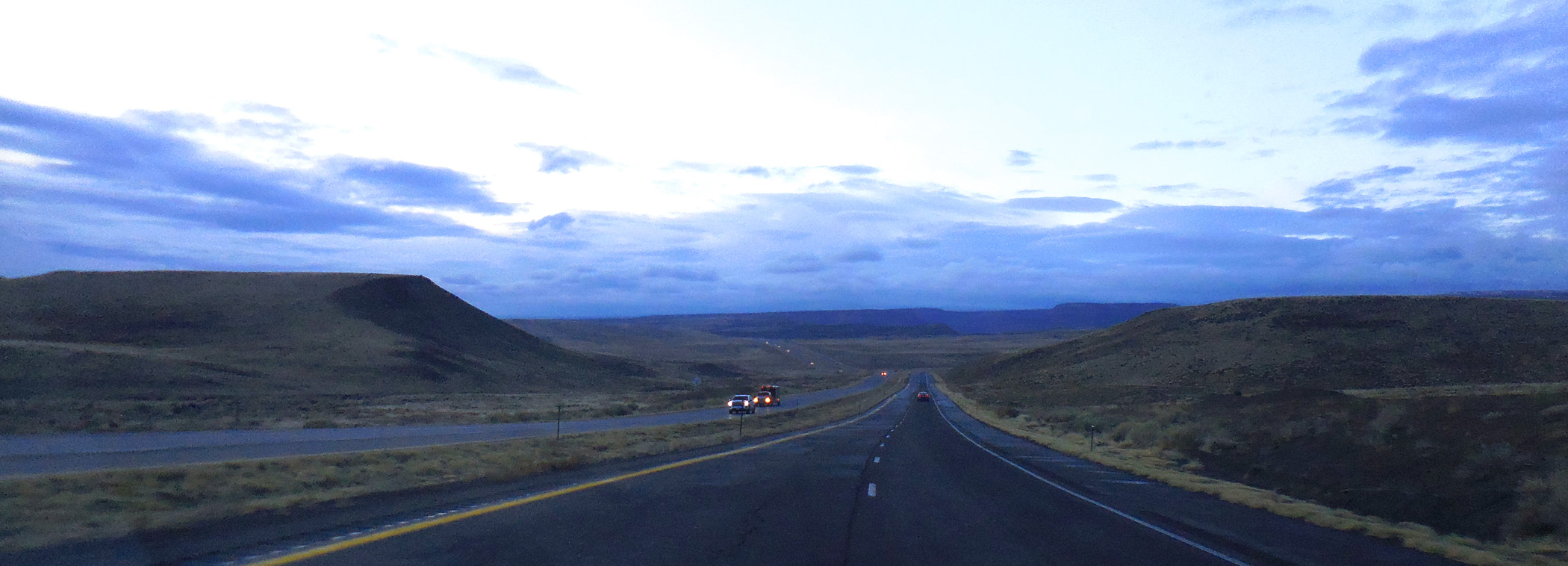
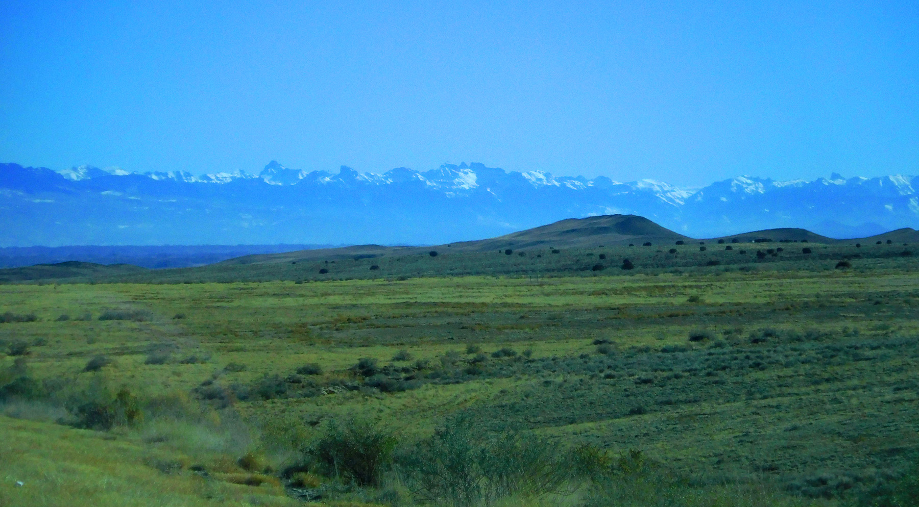
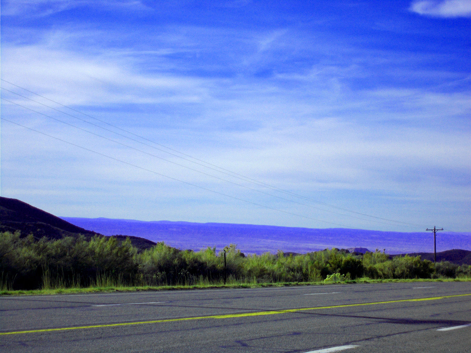
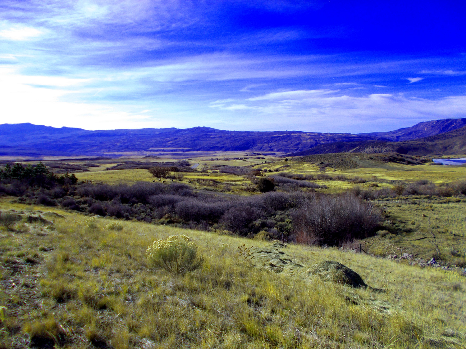
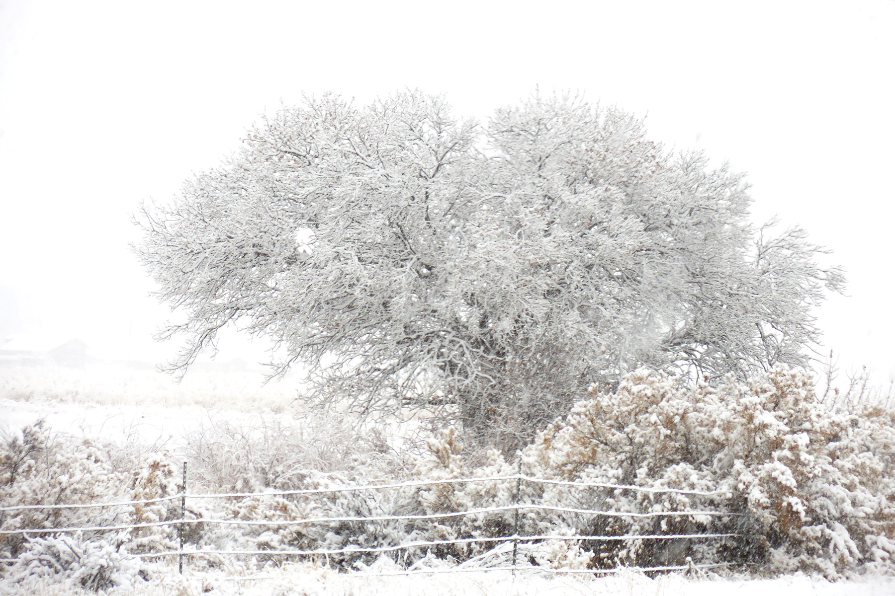
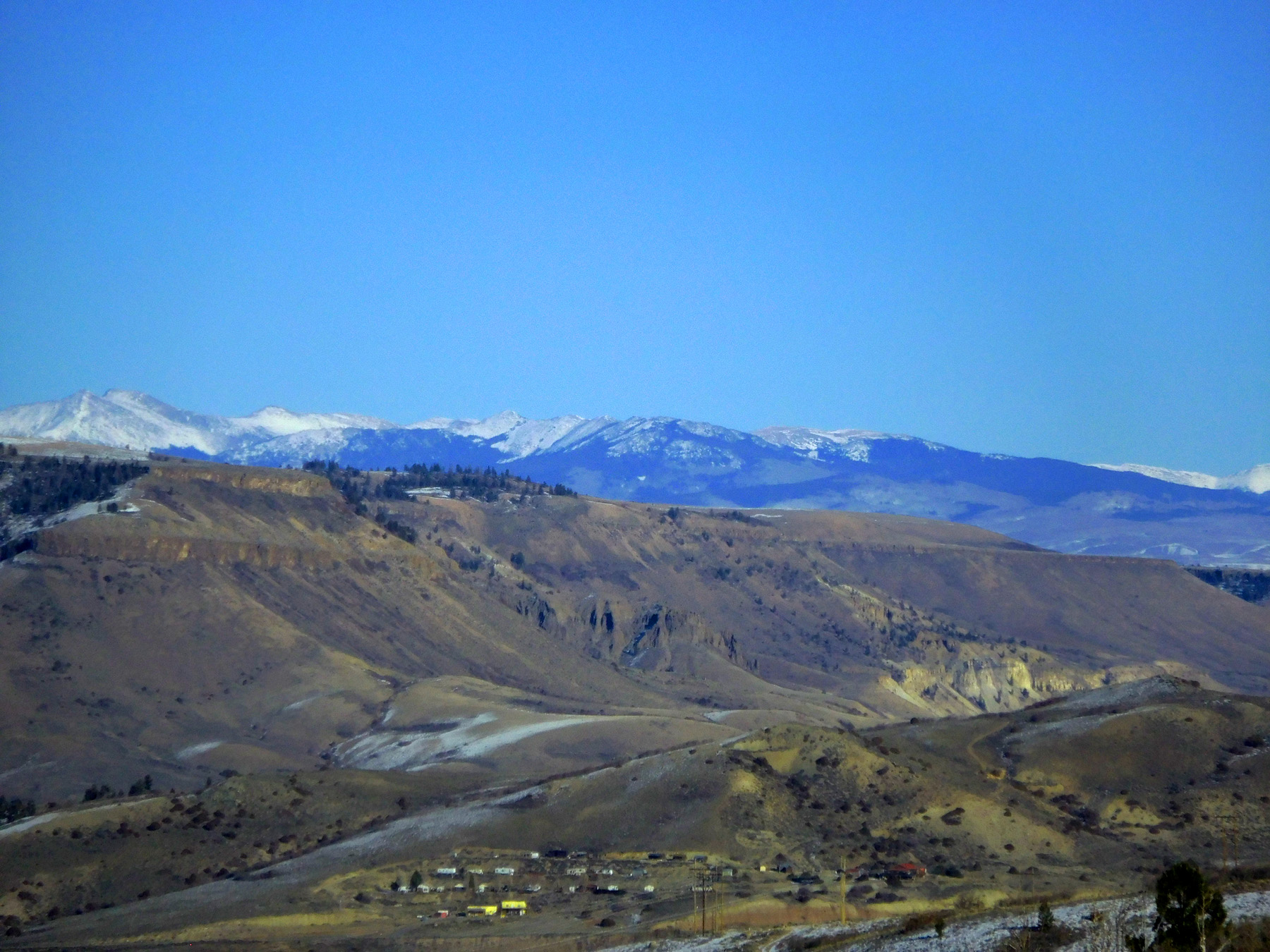
Grand Mesa to the left featureless Uncompahgre Plateau on the right for 100 miles
May 29 2020 - 11:46 am
May 29 2020 - 11:46 am
5 / 79
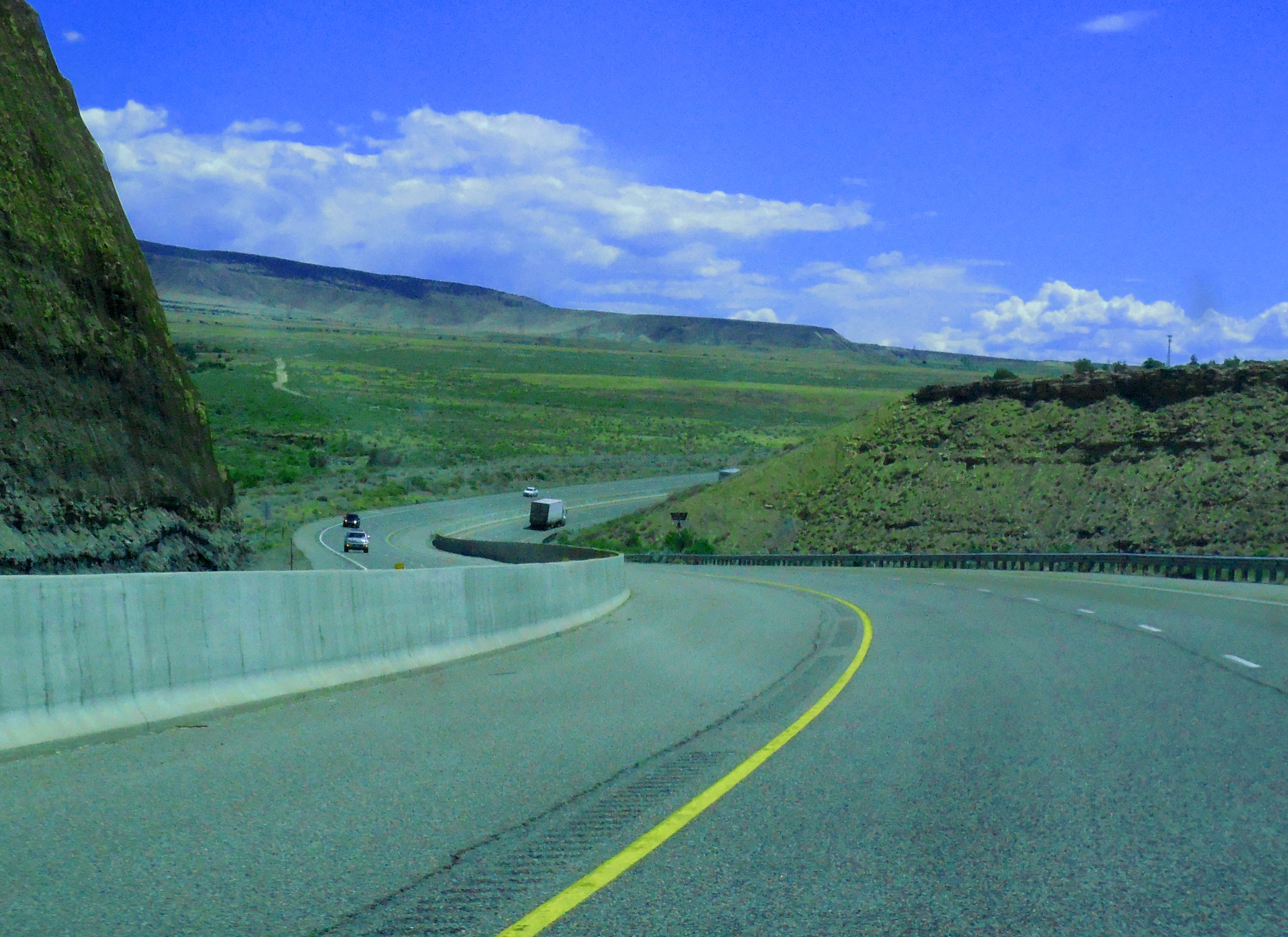
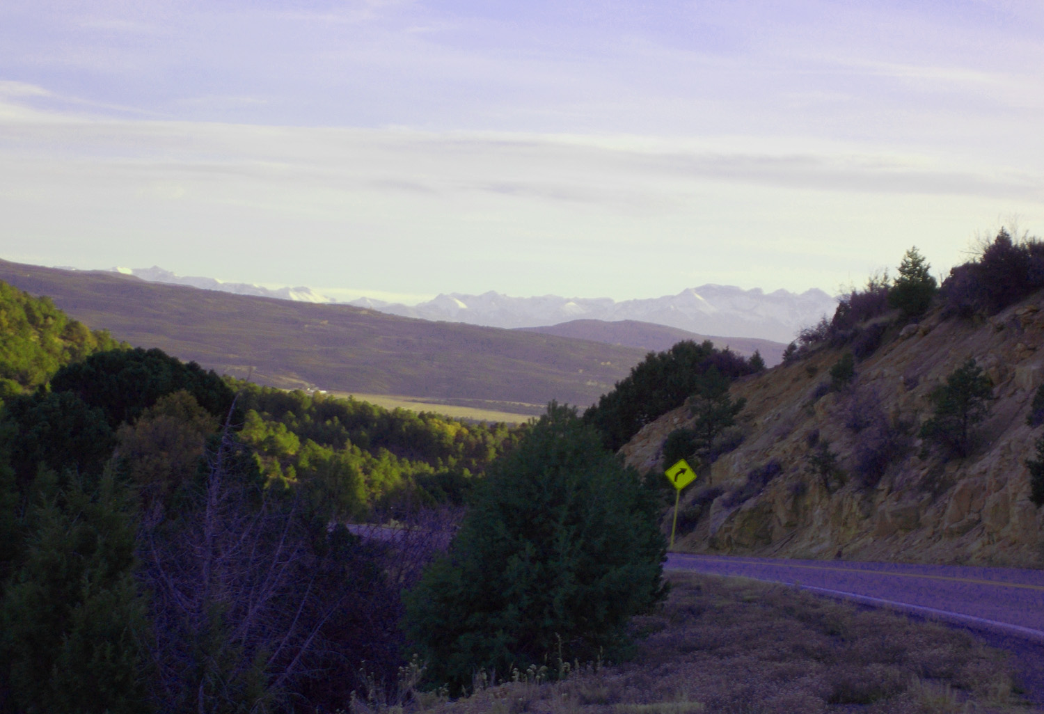
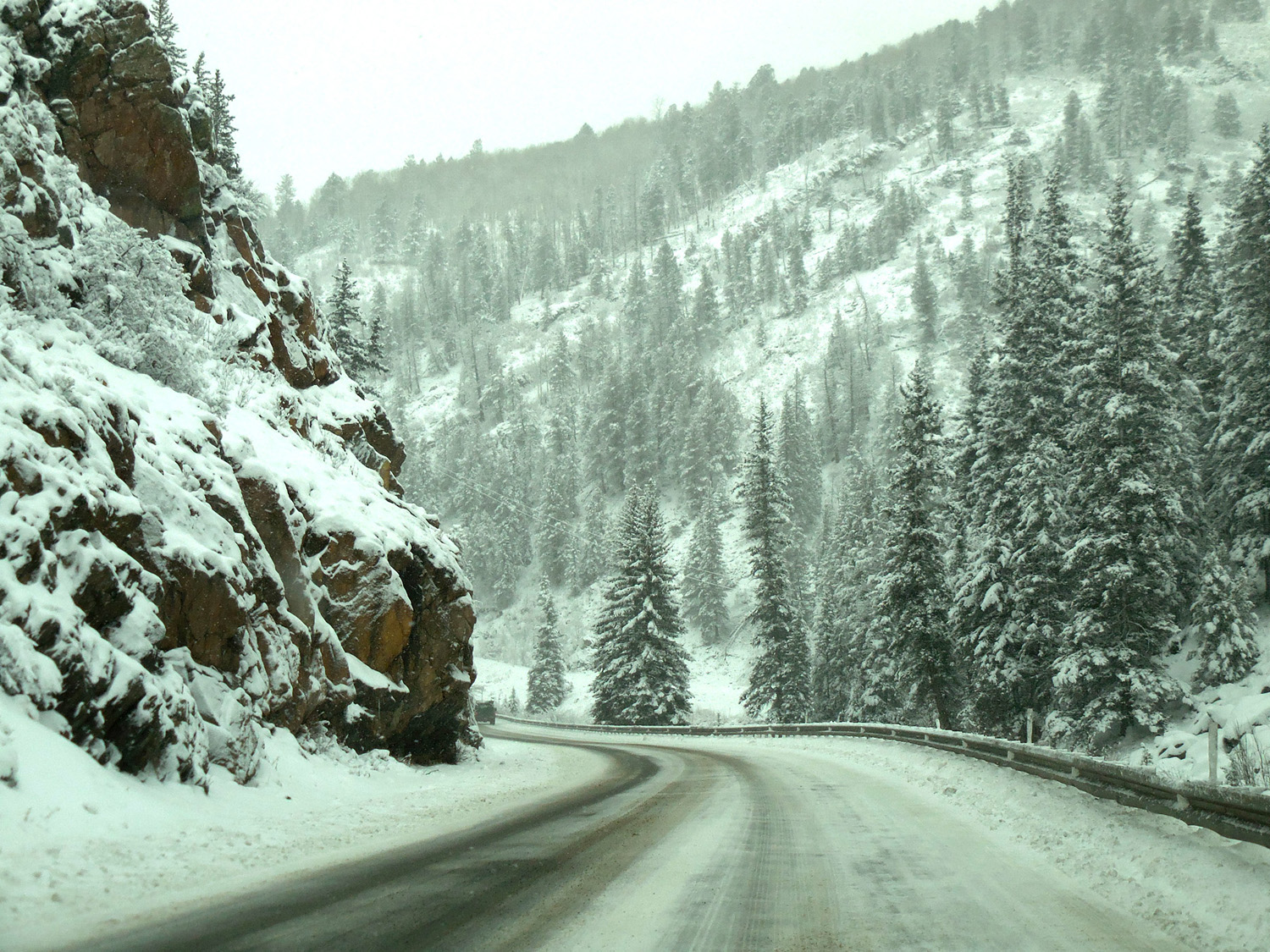
Finally a curve in the road
May 29 2020 - 11:51 am
May 29 2020 - 11:51 am
6 / 79
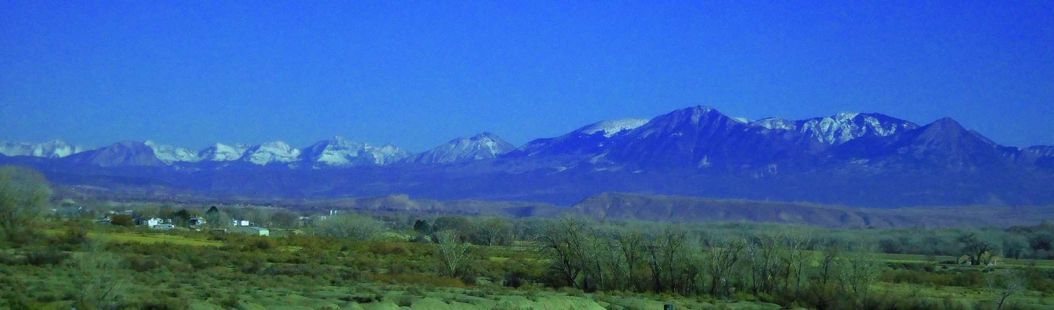
San Juan Mountains 100 miles dead ahead (this is an exceptionally clear day)
Dec 07 2020 - 12:54 pm
Dec 07 2020 - 12:54 pm
7 / 79
West Elk Mountains 25 to 50 miles to the north
Dec 07 2020 - 1:03 pm
Dec 07 2020 - 1:03 pm
8 / 79
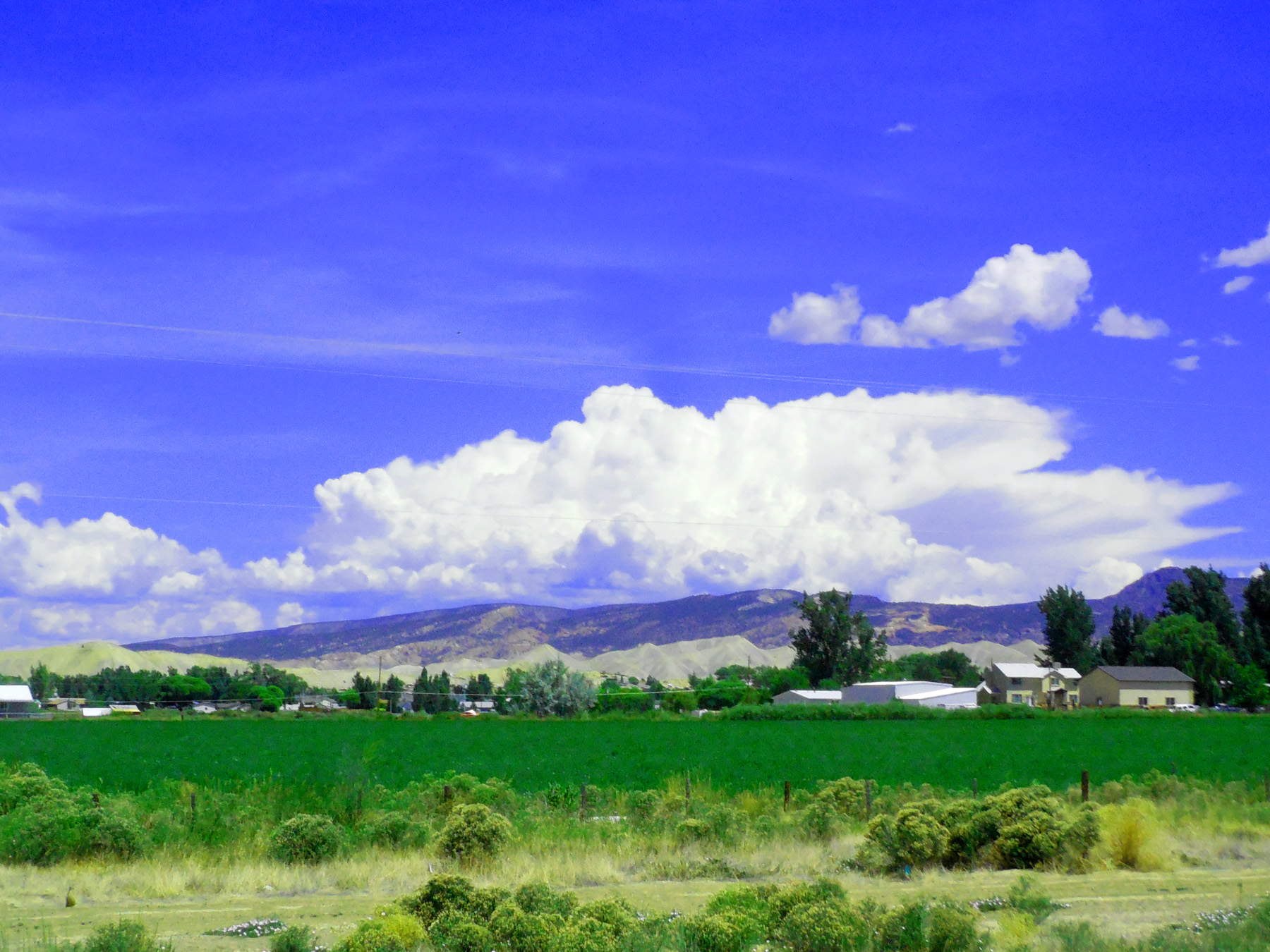
Thunderheads building over the West Elk Mountains, midground Black Canyon Uplift (turn left at Montrose)
Jul 21 2018 - 11:09 am
Jul 21 2018 - 11:09 am
9 / 79
Uncompahgre Peak (14,309') behind Cimarron Ridge
Dec 07 2020 - 1:48 pm
Dec 07 2020 - 1:48 pm
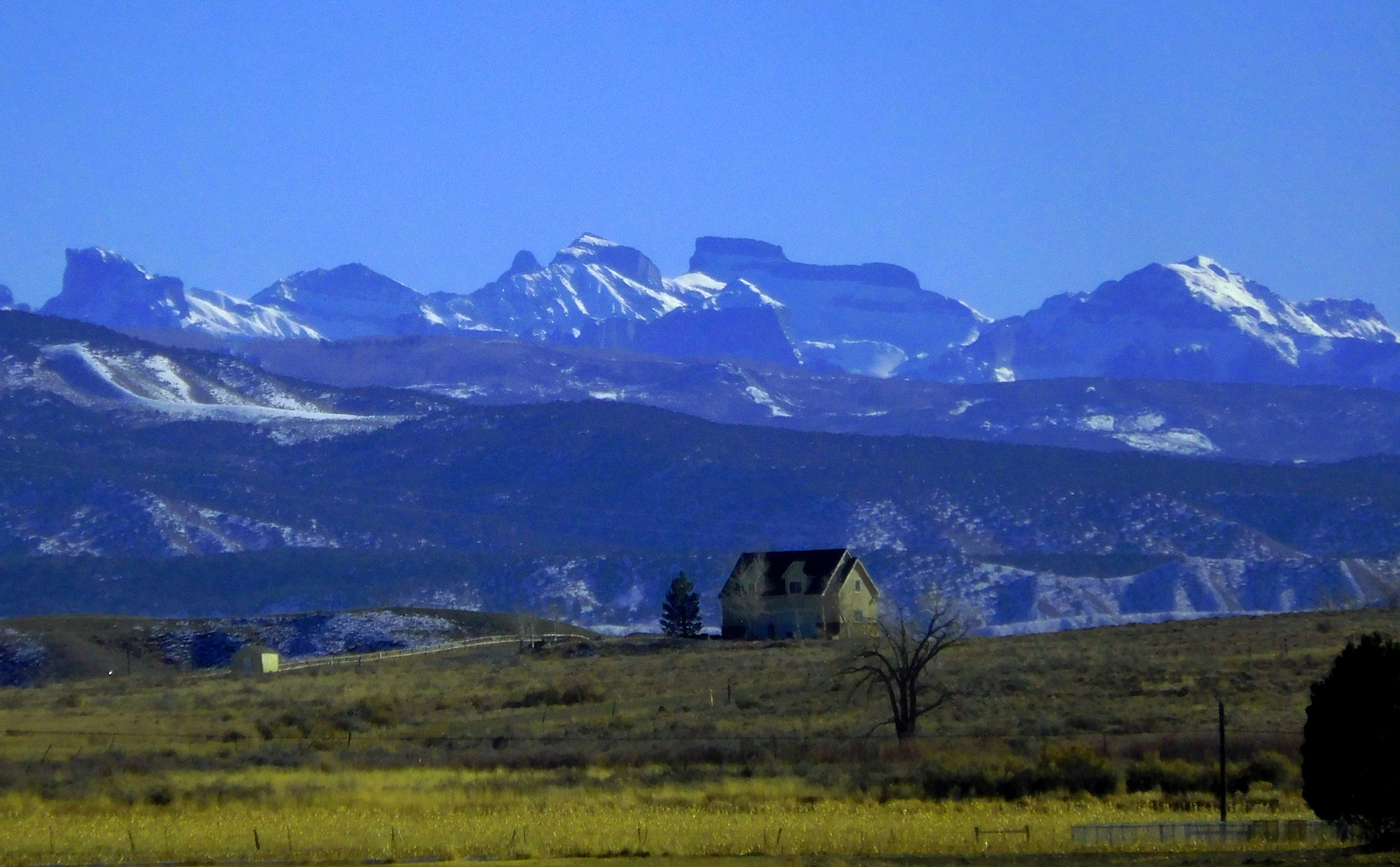
10 / 79
The San Juan Mountains from Uncompahgre Peak (14,309', left), past Mt. Sneffles (14,150' right), to Mt. Wilson (14,246' far right)
Dec 07 2020 - 1:49 pm
Dec 07 2020 - 1:49 pm
11 / 79
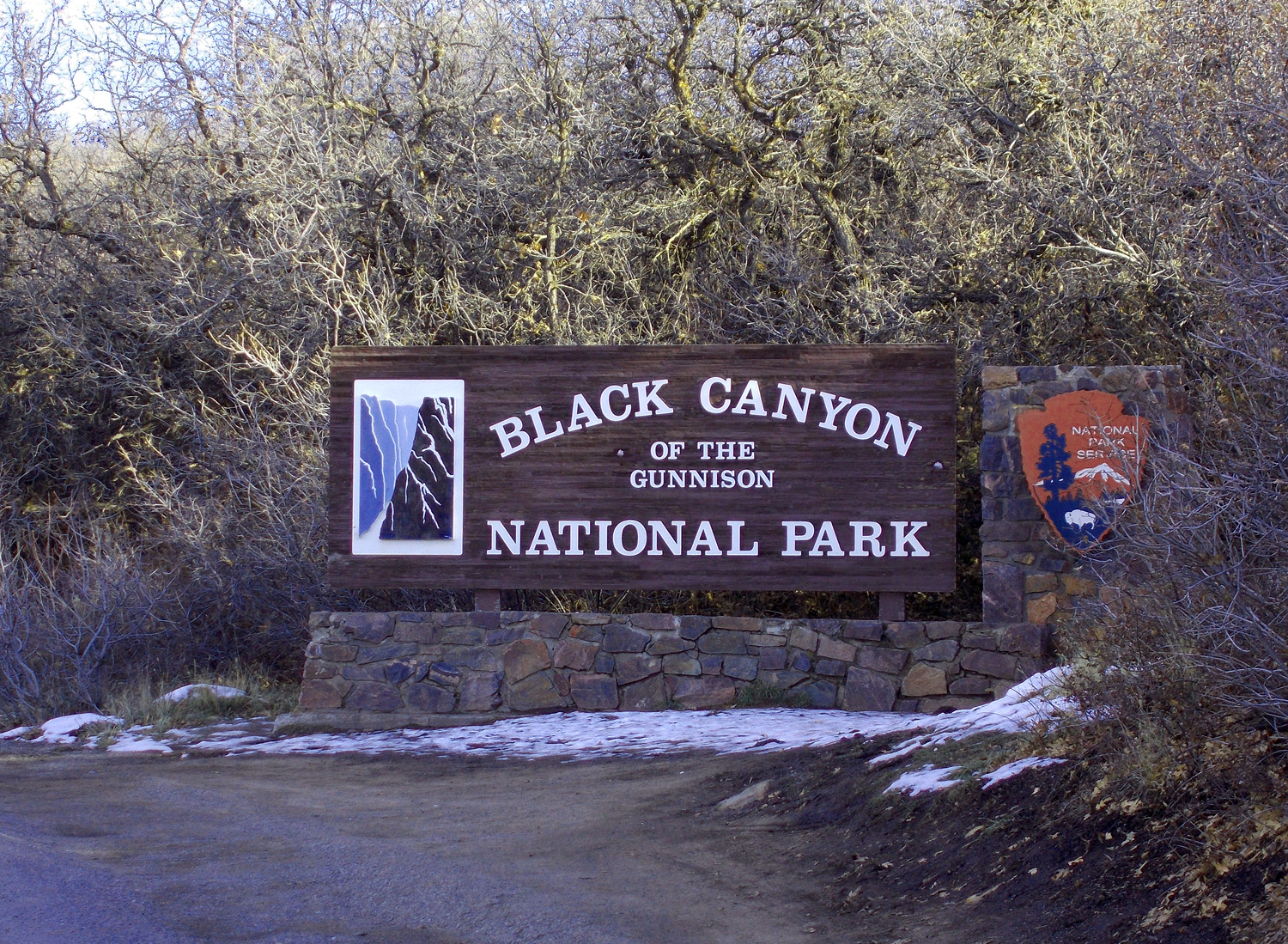
North on CO 349 to Black Canyon of the Gunnison National Park (south rim)
12 / 79
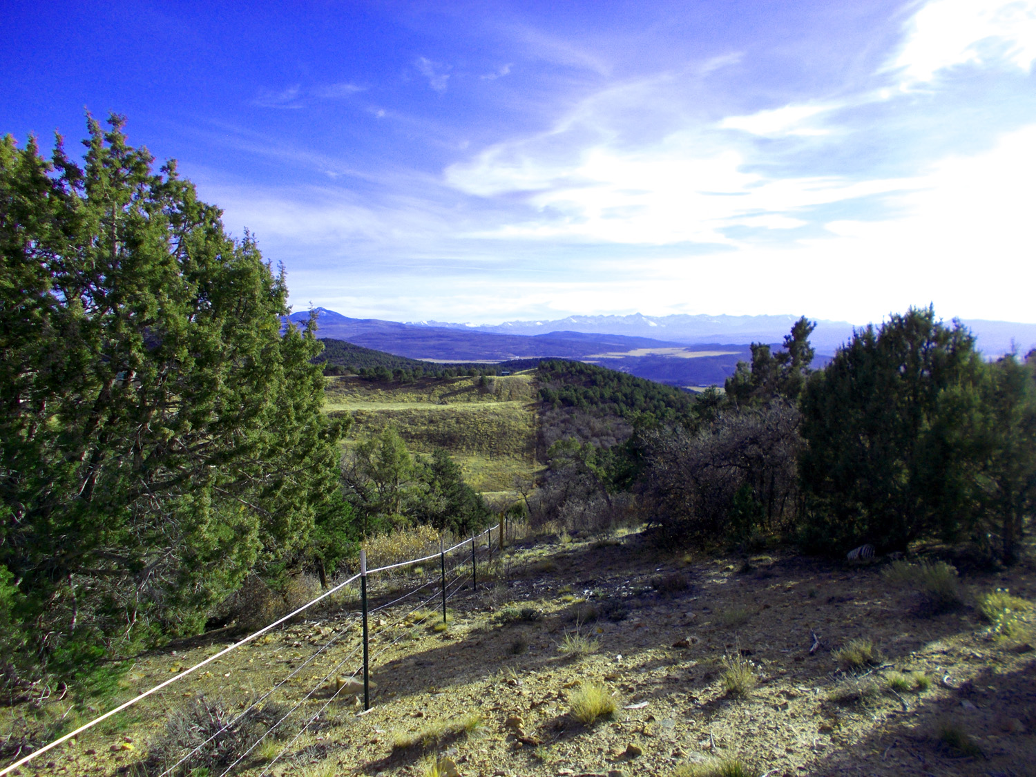
San Juan Mountains from CO 349
Nov 14 2021 - 4:08 pm
Nov 14 2021 - 4:08 pm
13 / 79
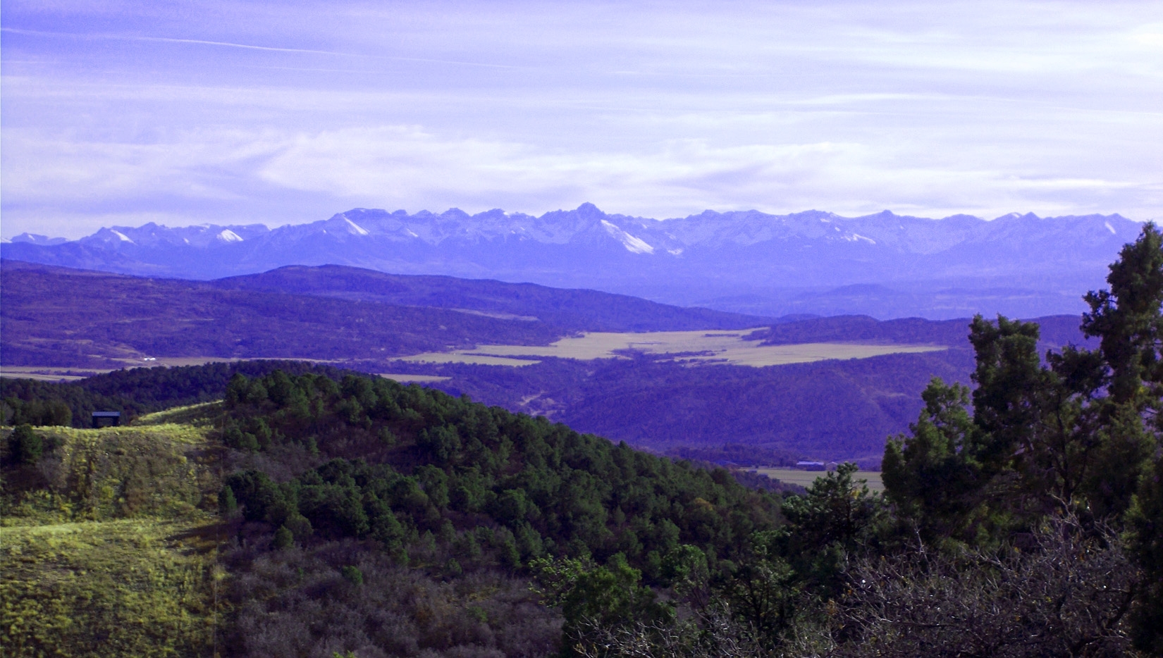
Telephoto of San Juan Mountains centered around Mt. Sneffels (14,150')
Nov 14 2021 - 4:08 pm
Nov 14 2021 - 4:08 pm
14 / 79
CO 349 follows dip slope of Dakota Sandstone (shown in road cut) to the Black Canyon National Park
Nov 14 2021 - 5:35 pm
Nov 14 2021 - 5:35 pm
15 / 79
Nov 14 2021 - 4:17 pm
16 / 79
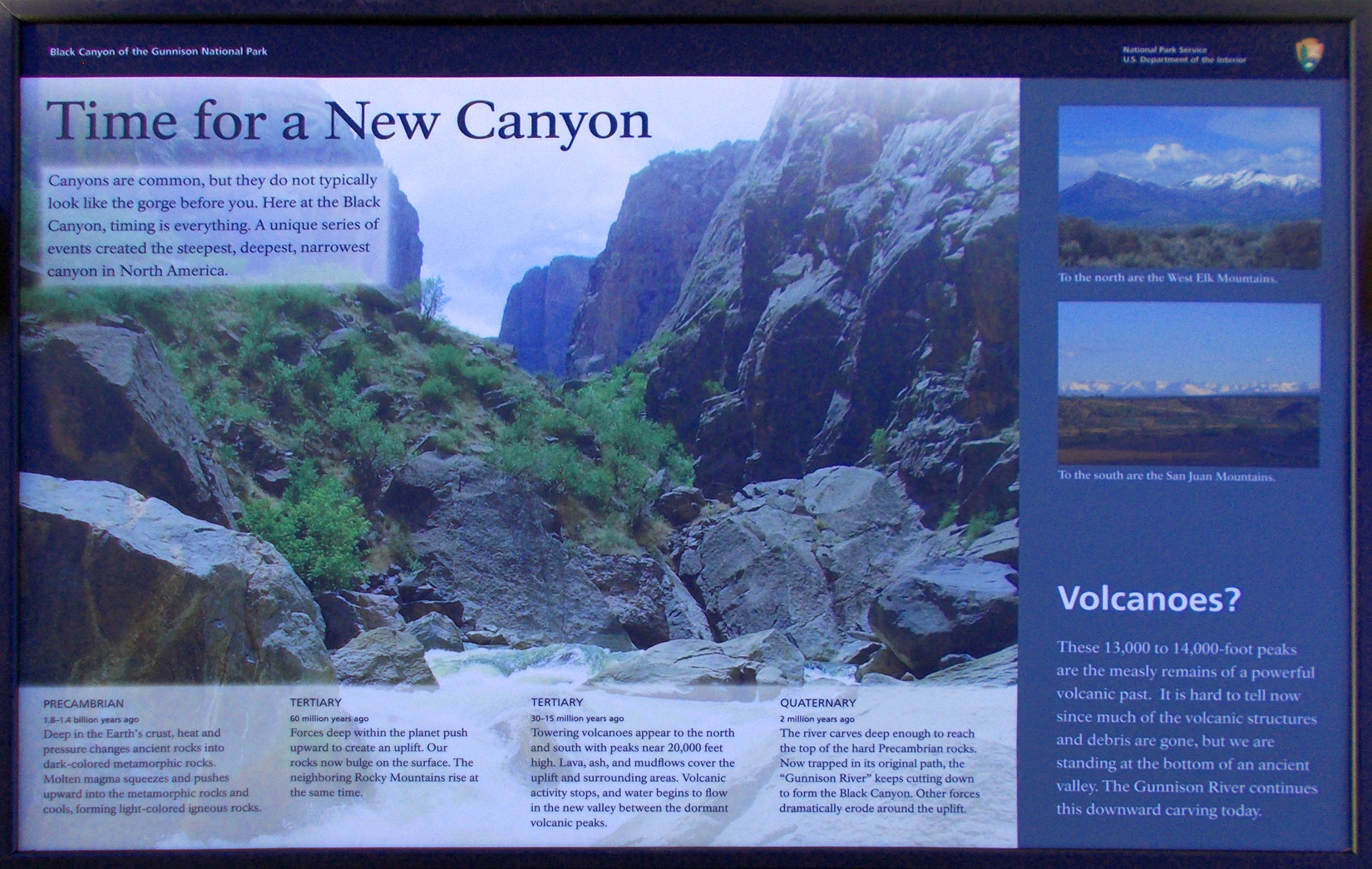
History of Black Canyon
Nov 14 2021 - 4:31 pm
Nov 14 2021 - 4:31 pm
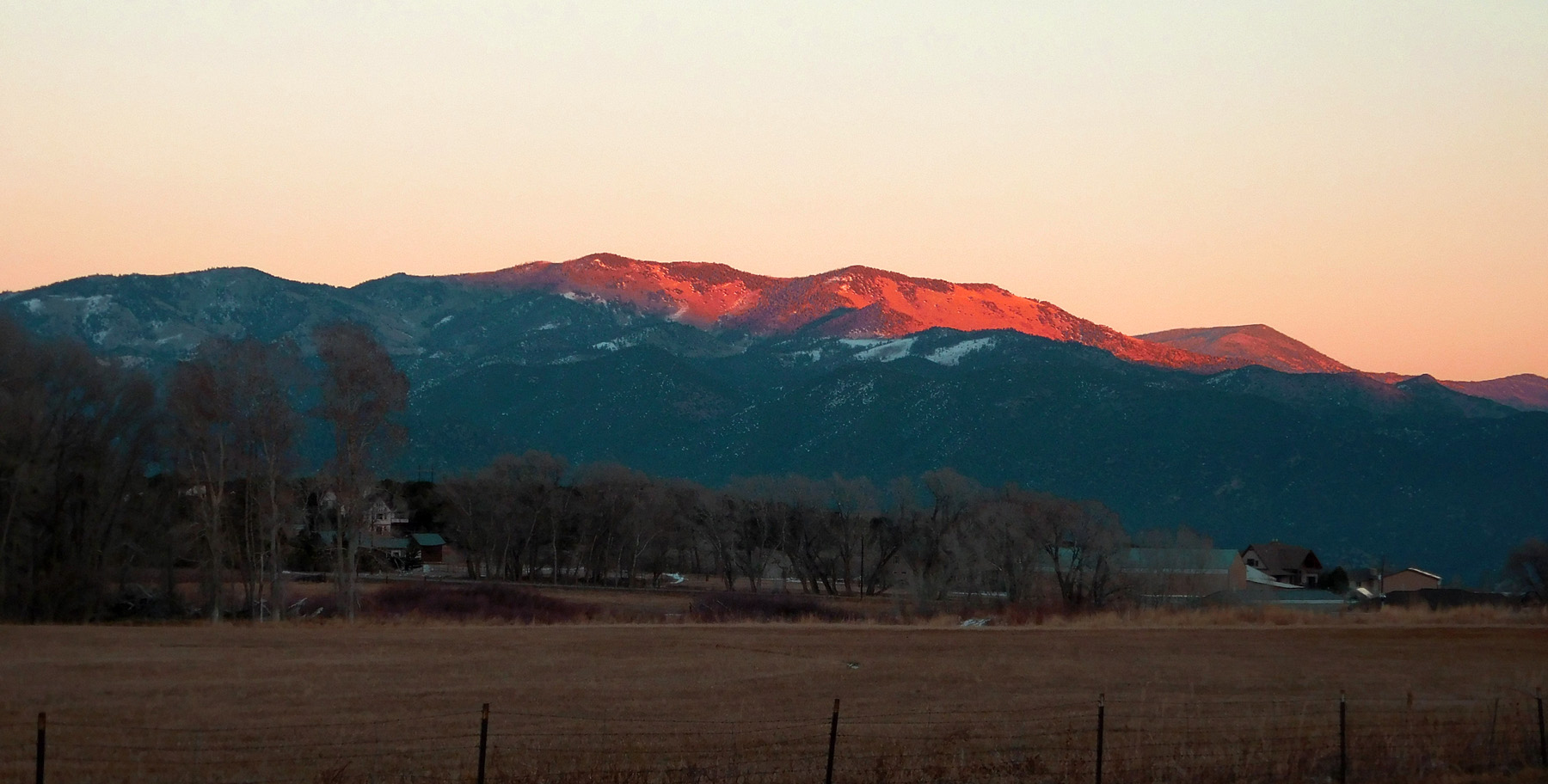
17 / 79
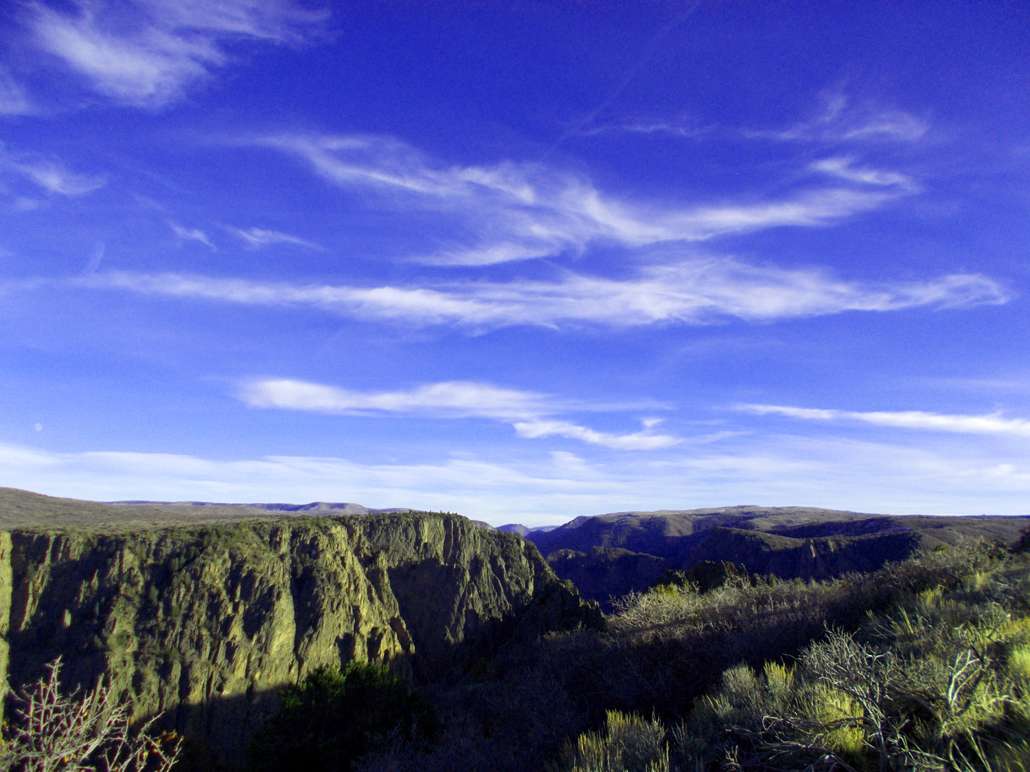
Black Canyon
Nov 14 2021 - 4:38 pm
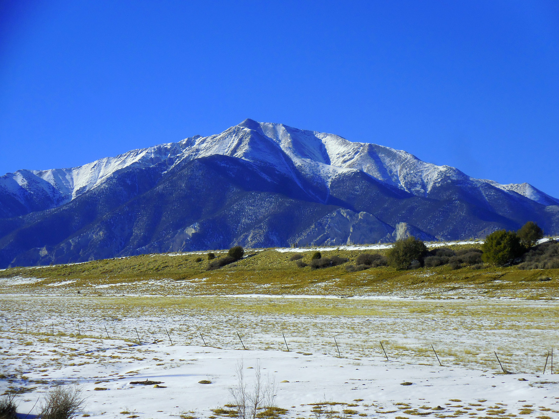
Nov 14 2021 - 4:38 pm
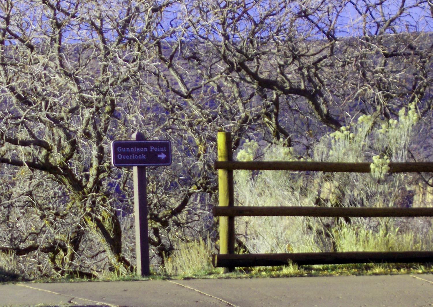
18 / 79
Gunnison Point Overlook
Nov 14 2021 - 4:30 pm
Nov 14 2021 - 4:30 pm
19 / 79
Well marked overlooks (yards to the overlook posted)
Nov 14 2021 - 4:40 pm
Nov 14 2021 - 4:40 pm
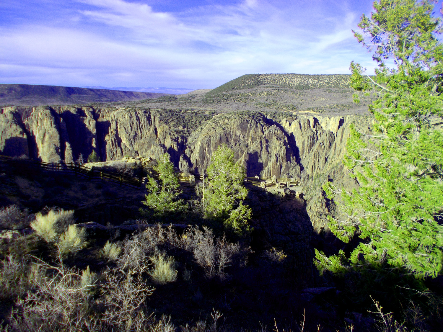
20 / 79
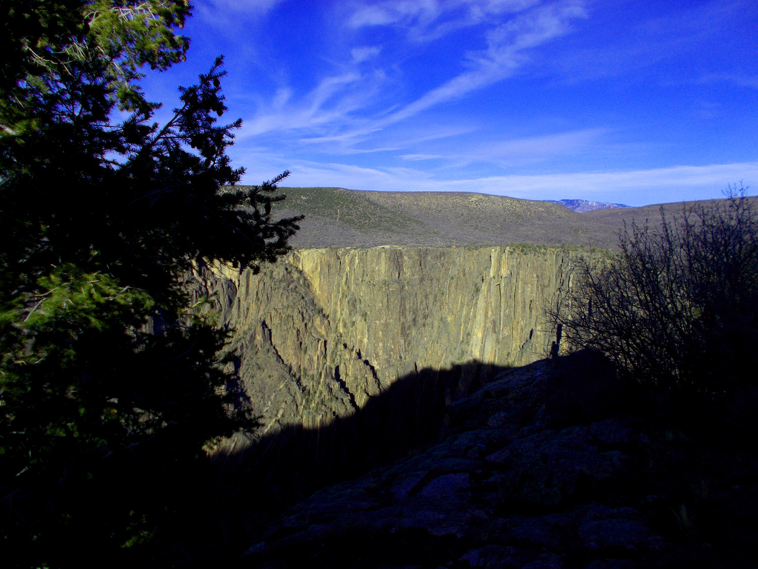
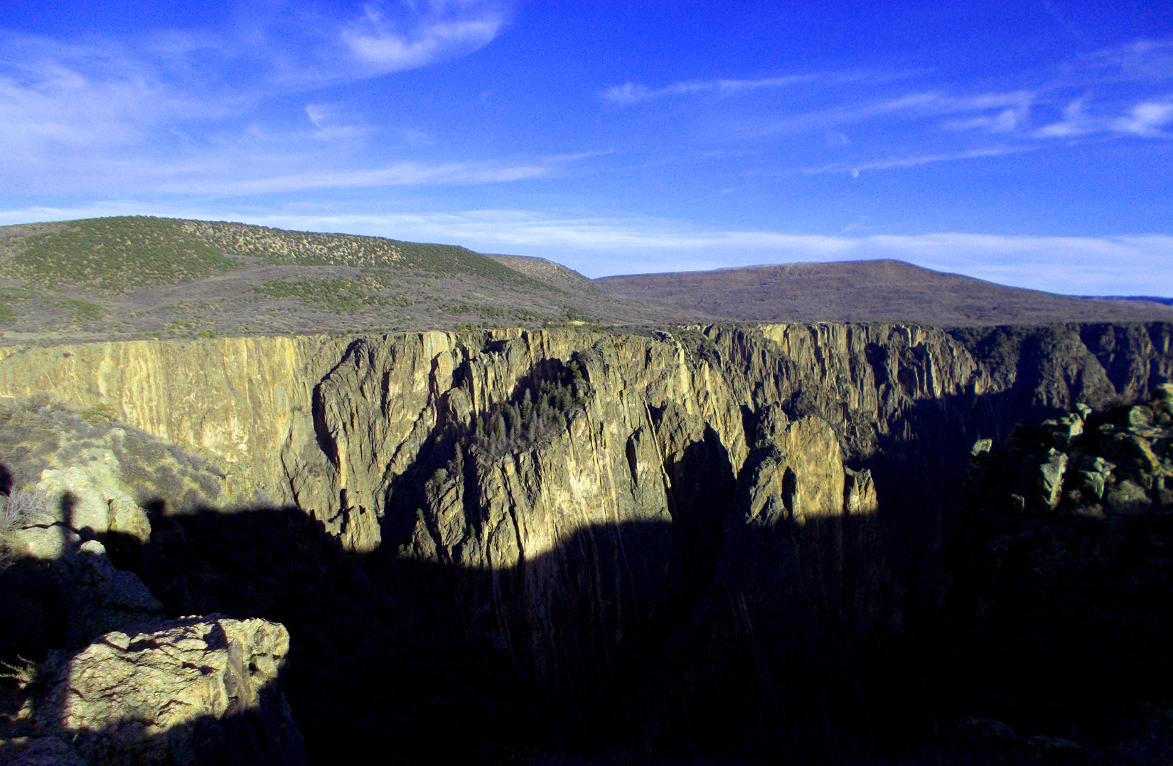
First view of the Painted Wall
Nov 14 2021 - 4:31 pm
Nov 14 2021 - 4:31 pm
21 / 79
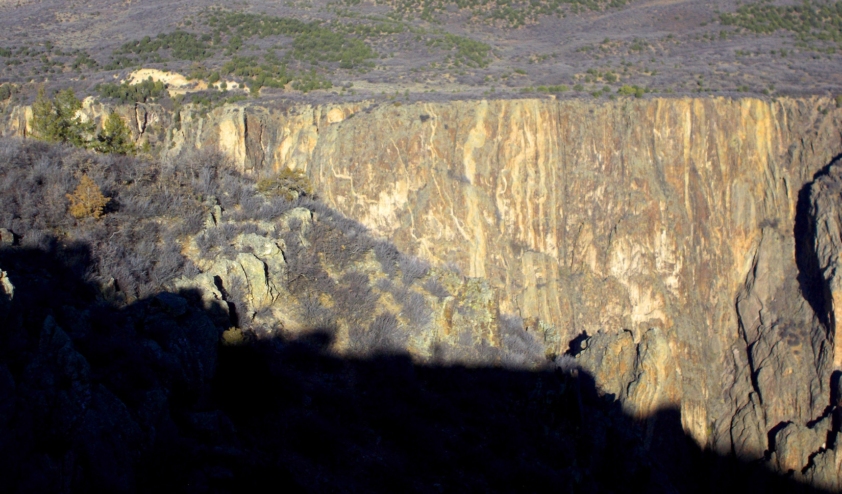
Painted Wall
Nov 14 2021 - 4:48 pm
Nov 14 2021 - 4:48 pm
22 / 79
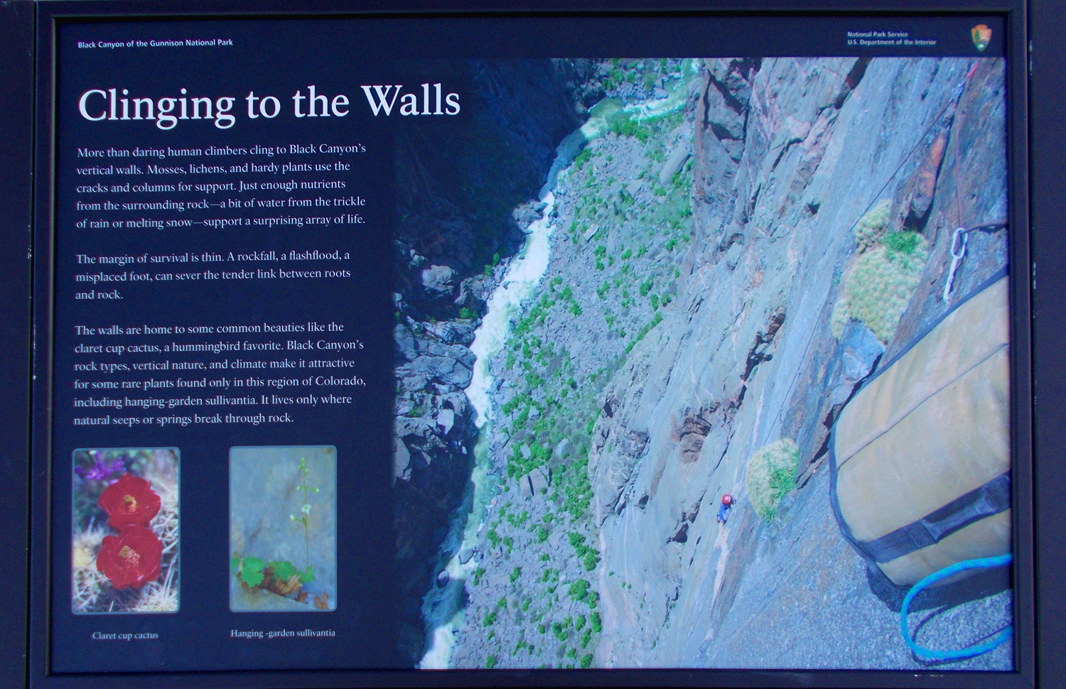
Plants live on the Painted Wall
Nov 14 2021 - 5:10 pm
Nov 14 2021 - 5:10 pm
23 / 79
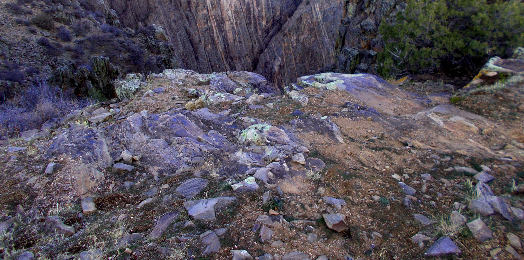
Gneiss rock type (close up and on the far side of the canyon)
Nov 14 2021 - 4:48 pm
Nov 14 2021 - 4:48 pm
24 / 79
Landsend Peak (10,806', center) and Coal Mountain (11,705', right) of the West Elk Mountains
Nov 14 2021 - 4:46 pm
Nov 14 2021 - 4:46 pm
25 / 79
Gibbous moonrise over Black Canyon
Nov 14 2021 - 4:50 pm
Nov 14 2021 - 4:50 pm
26 / 79
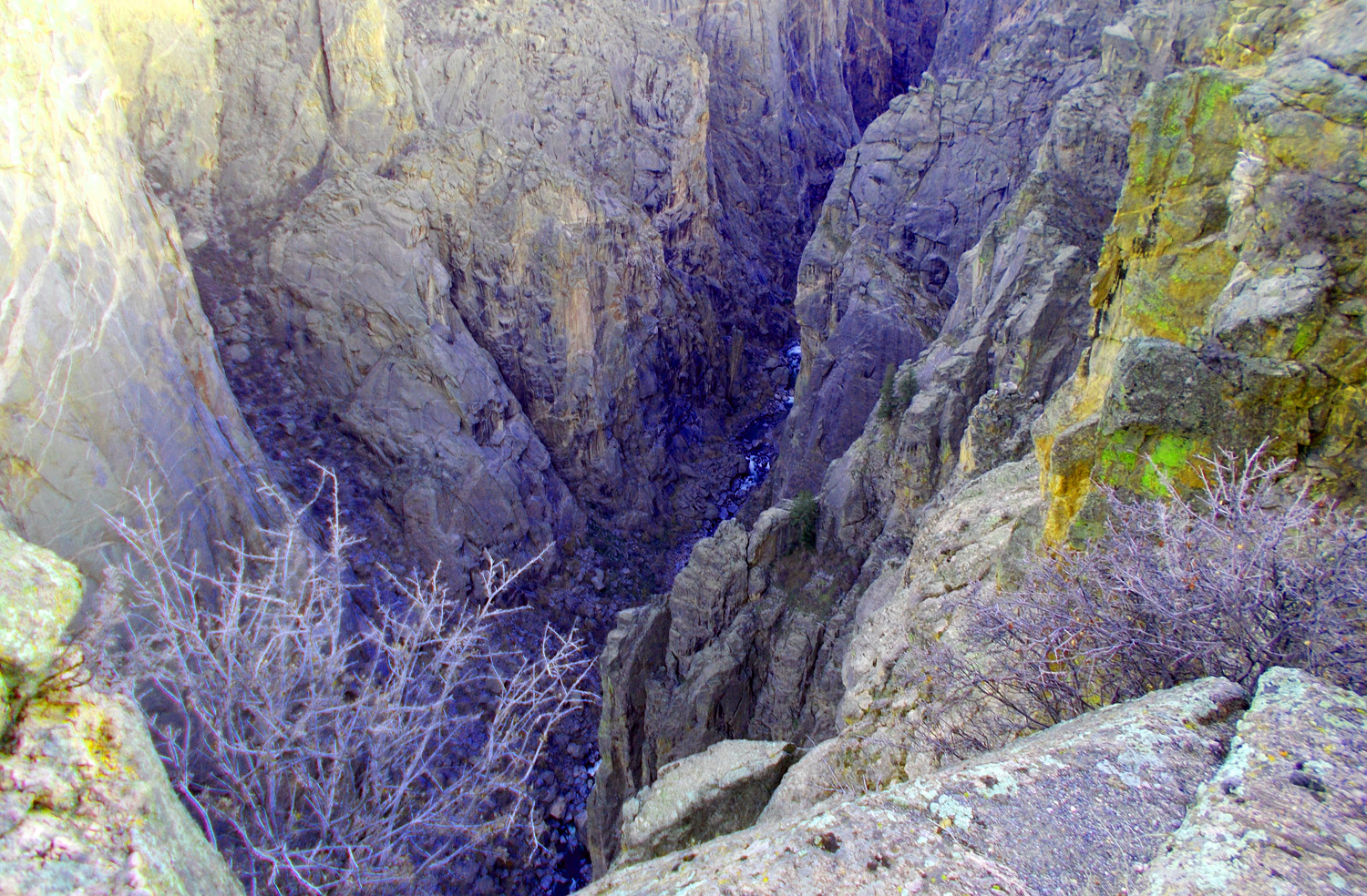
Gunnison River deep in the canyon
Nov 14 2021 - 5:11pm
Nov 14 2021 - 5:11pm
27 / 79
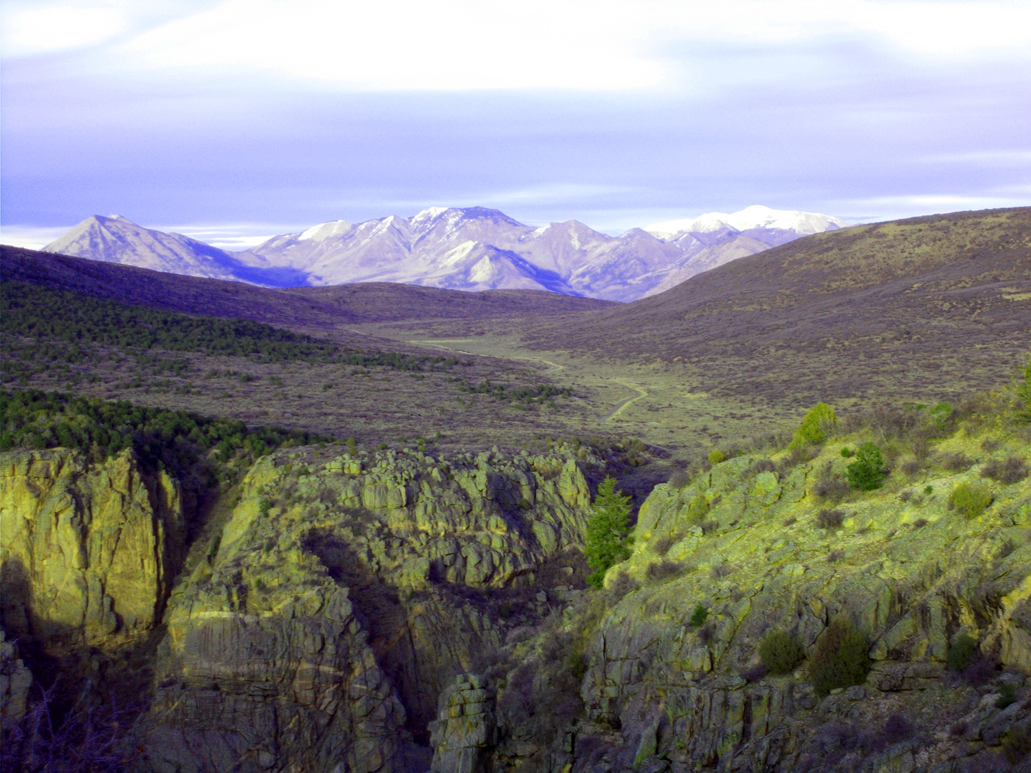
Road to north rim of the Black Canyon through Grizzly Gulch (Landsend Peak Coal Mountain, and Mt. Gunnison (12,719') in background)
Nov 14 2021 - 5:20 pm
Nov 14 2021 - 5:20 pm
28 / 79
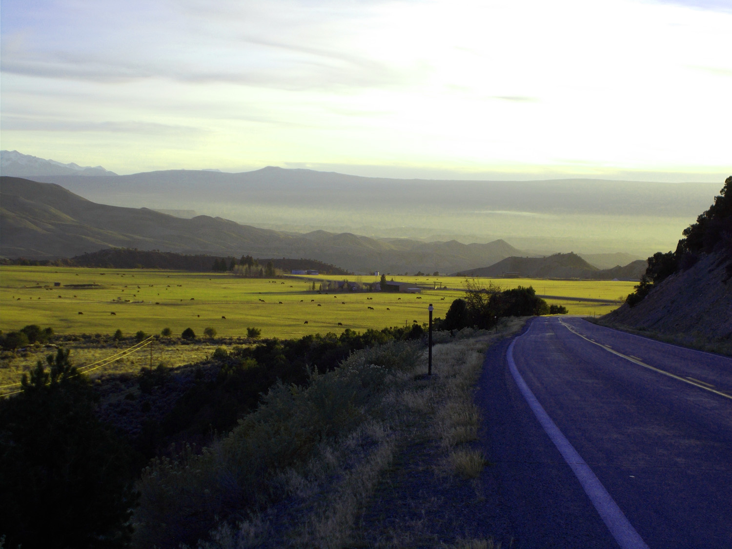
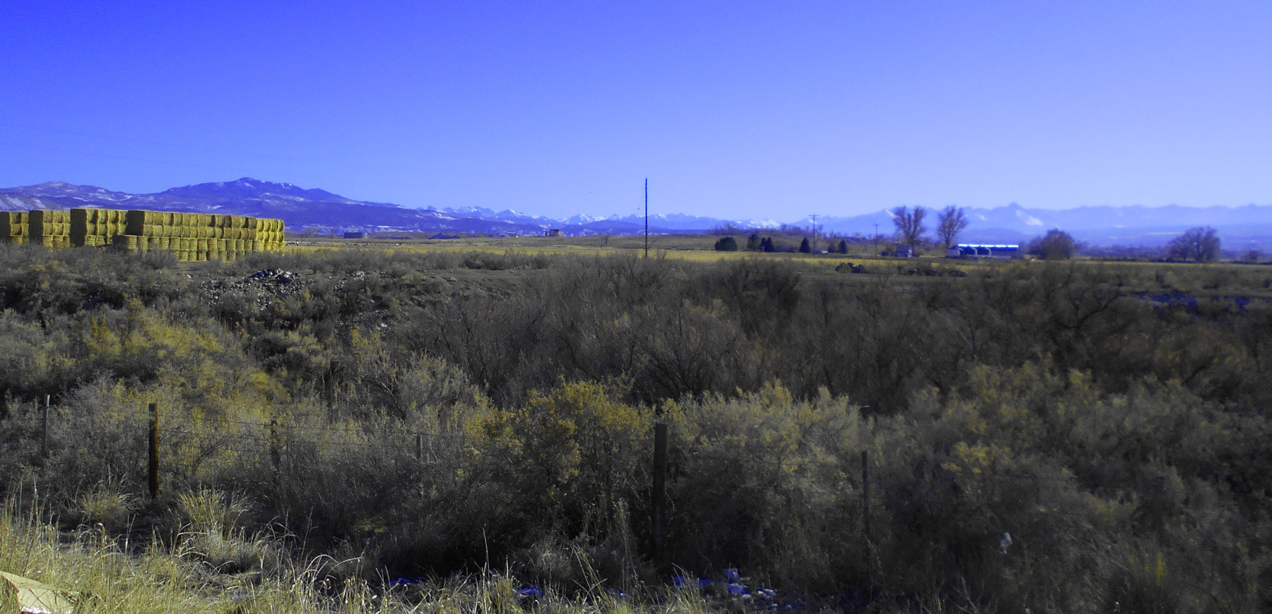
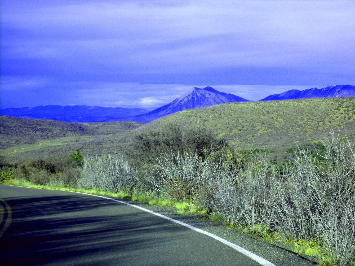
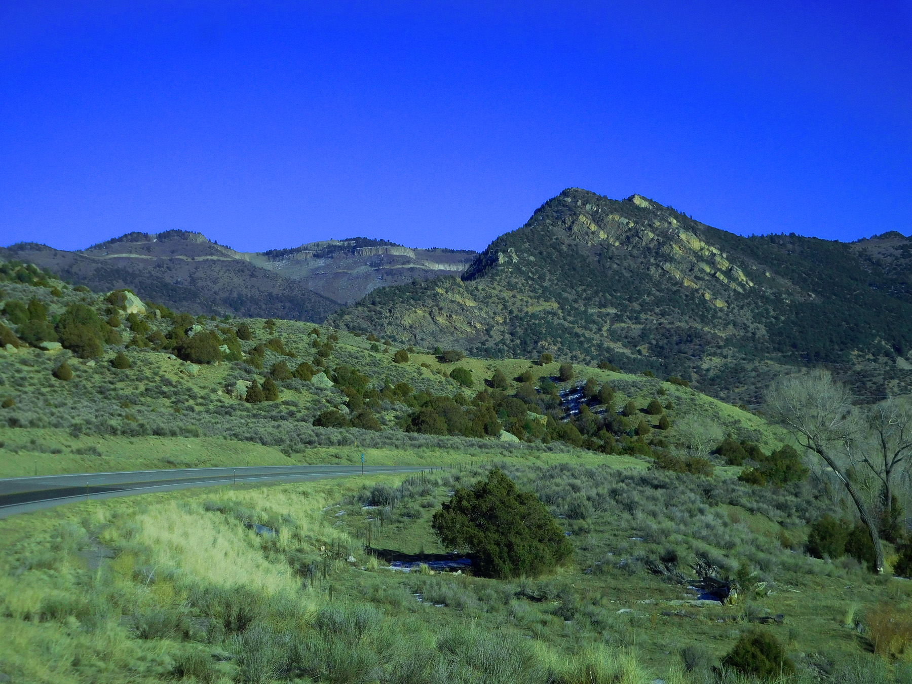
Back to US 50 (Horsefly Peak high point on Uncompahgre Plateau over irrigated Uncompahgre Valley)
Nov 14 2021 - 5:42 pm
Nov 14 2021 - 5:42 pm
29 / 79

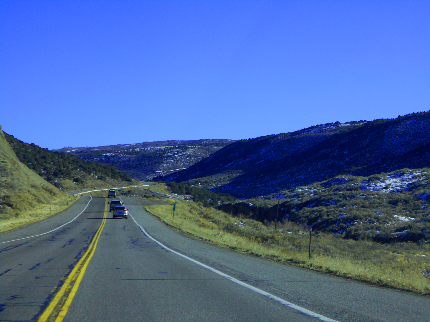
US 50 east to Gunnison
30 / 79
Up Cedar Creek to Cerro Summit
Dec 07 2020
Dec 07 2020
31 / 79
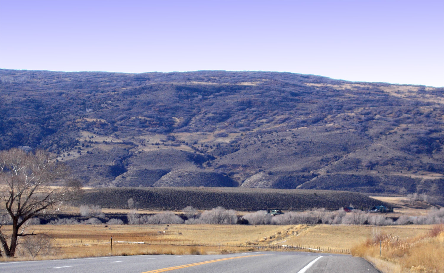
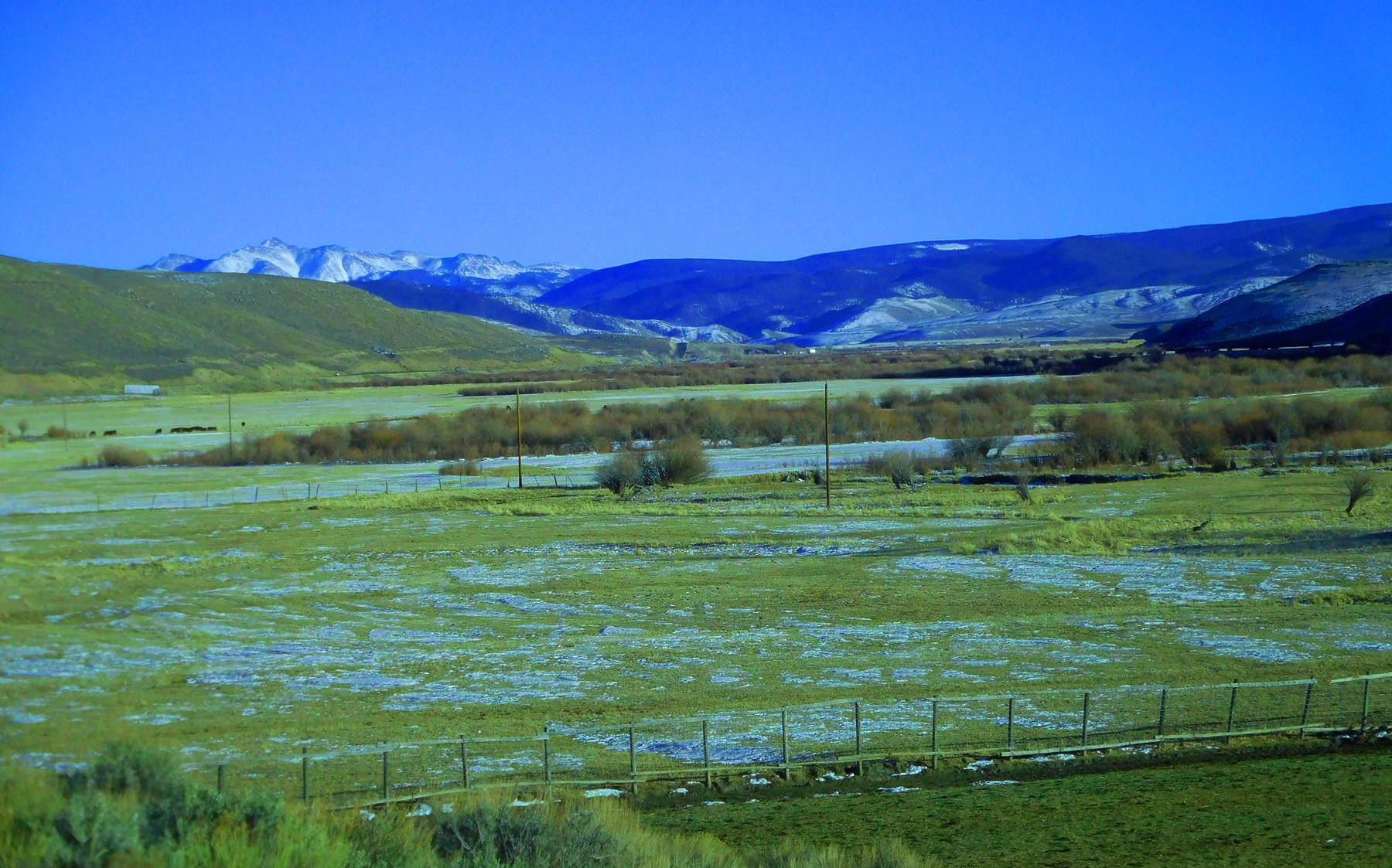
Looking west at the Uncompahgre Plateau
Dec 07 2020 - 1:03 pm
Dec 07 2020 - 1:03 pm
32 / 79
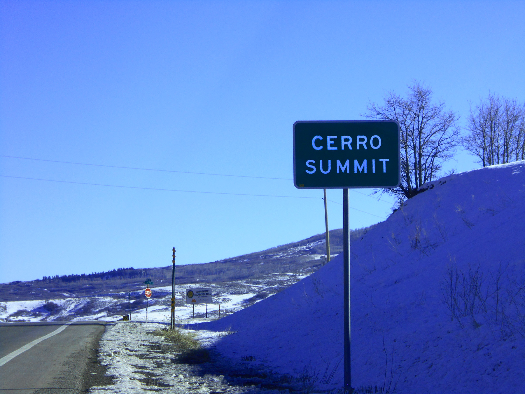
Cerro Summit
Dec 07 2020 - 2:01 pm
Dec 07 2020 - 2:01 pm
33 / 79
Down east side of Cerro Summit (Black Canyon Uplift)
Dec 07 2020 - 2:05 pm
Dec 07 2020 - 2:05 pm
34 / 79
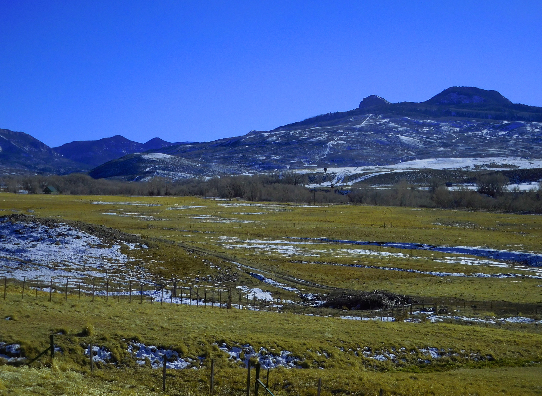
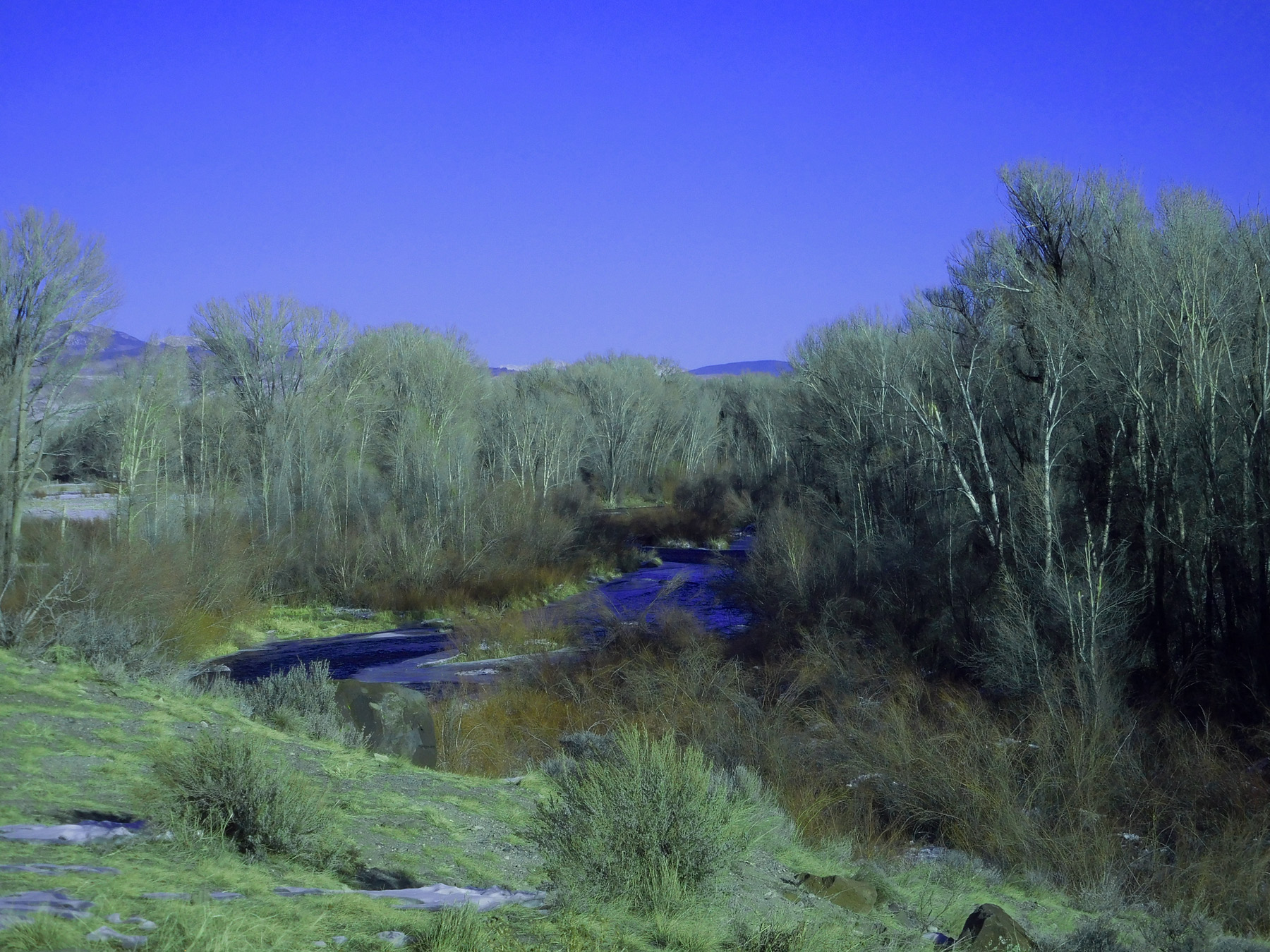
Cimarron River Valley
Dec 07 2020 - 2:13 pm
Dec 07 2020 - 2:13 pm
35 / 79
Wide angle
Nov 14 2021 - 3:22 pm
Nov 14 2021 - 3:22 pm
36 / 79
Telephoto of terraces along the Cimarron River
Nov 14 2021 - 3:29 pm
Nov 14 2021 - 3:29 pm
37 / 79
Black Canyon Uplift
Nov 14 2021 - 3:23 pm
Nov 14 2021 - 3:23 pm
38 / 79
Cimarron Ridge from the east
Dec 07 2020 - 2:15 pm
Dec 07 2020 - 2:15 pm
39 / 79
Blue Mesa Summit
Nov 24 2020 - 8:05 am
Nov 24 2020 - 8:05 am
40 / 79
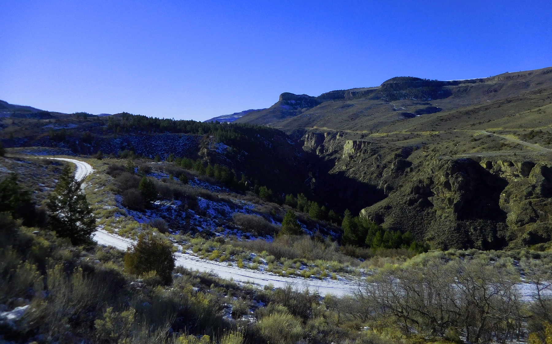
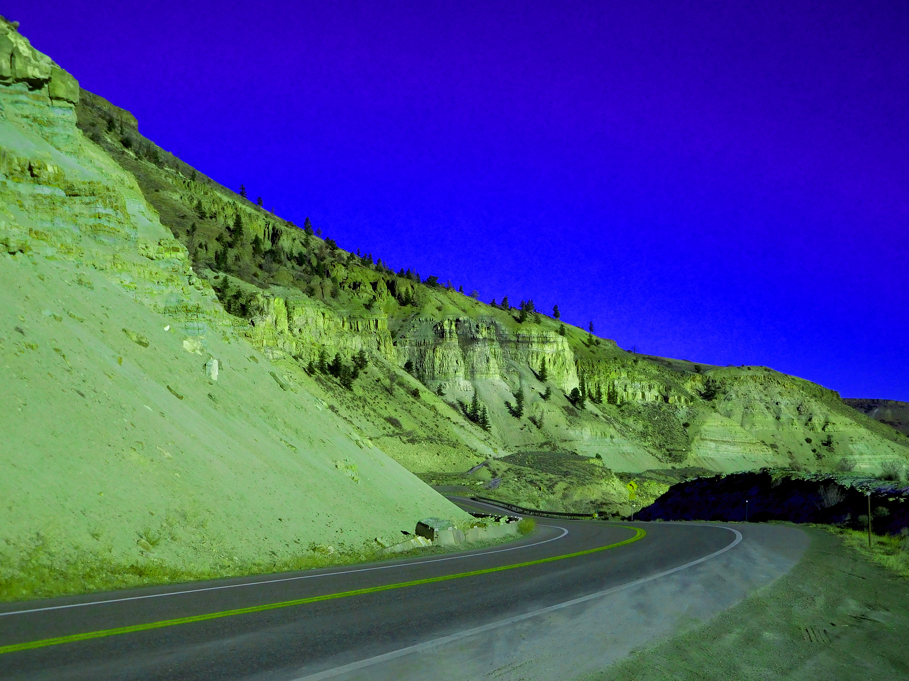
Entering Big Blue Creek Canyon through Black Canyon Uplift
Nov 24 2020 - 8:43 am
Nov 24 2020 - 8:43 am
41 / 79
Two weeks later
US 50 was closed during the week, open weekends for six month in the winter of 2021 due to road construction through the canyon
Dec 07 2020 - 2:23 pm
US 50 was closed during the week, open weekends for six month in the winter of 2021 due to road construction through the canyon
Dec 07 2020 - 2:23 pm
42 / 79
Volcanics rocks from West Elk Mountains
Nov 14 2021 - 3:23pm
Nov 14 2021 - 3:23pm
43 / 79
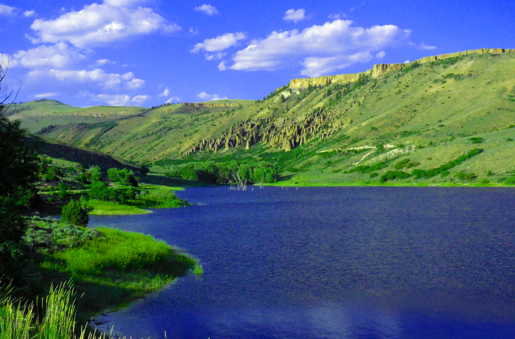
Blue Mesa Reservoir
Dec 07 2020 - 2:31 pm
Dec 07 2020 - 2:31 pm
44 / 79
Sapinero, CO (all five fourteeners of the Elk Range in background)
Dec 07 2020 - 2:31 pm
Dec 07 2020 - 2:31 pm
45 / 79
Downstream of Blue Mesa Dam the Black Canyon begins
Dec 07 2020 - 2:35 pm
Dec 07 2020 - 2:35 pm
46 / 79
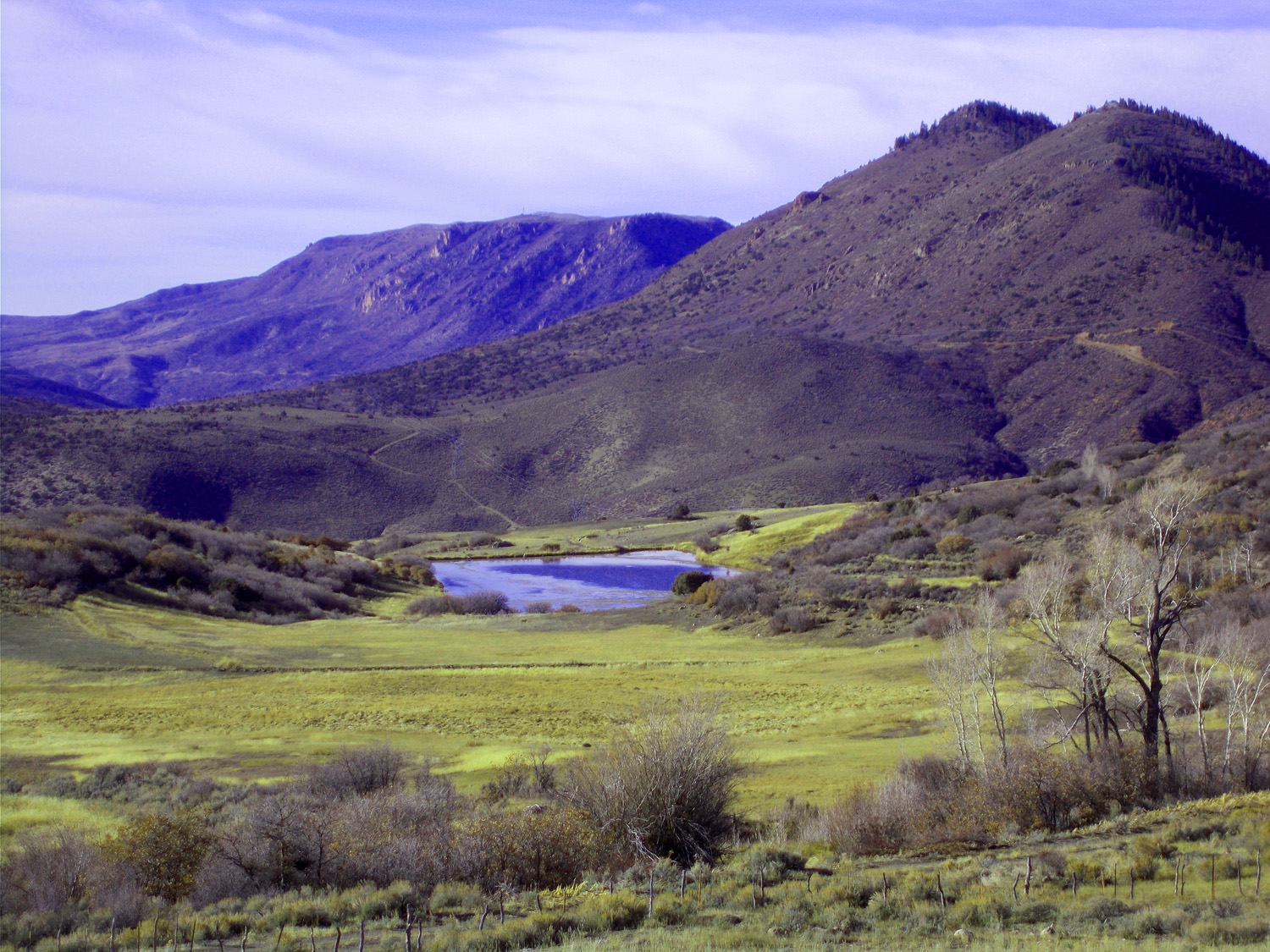
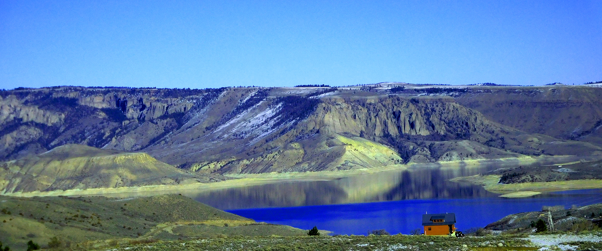
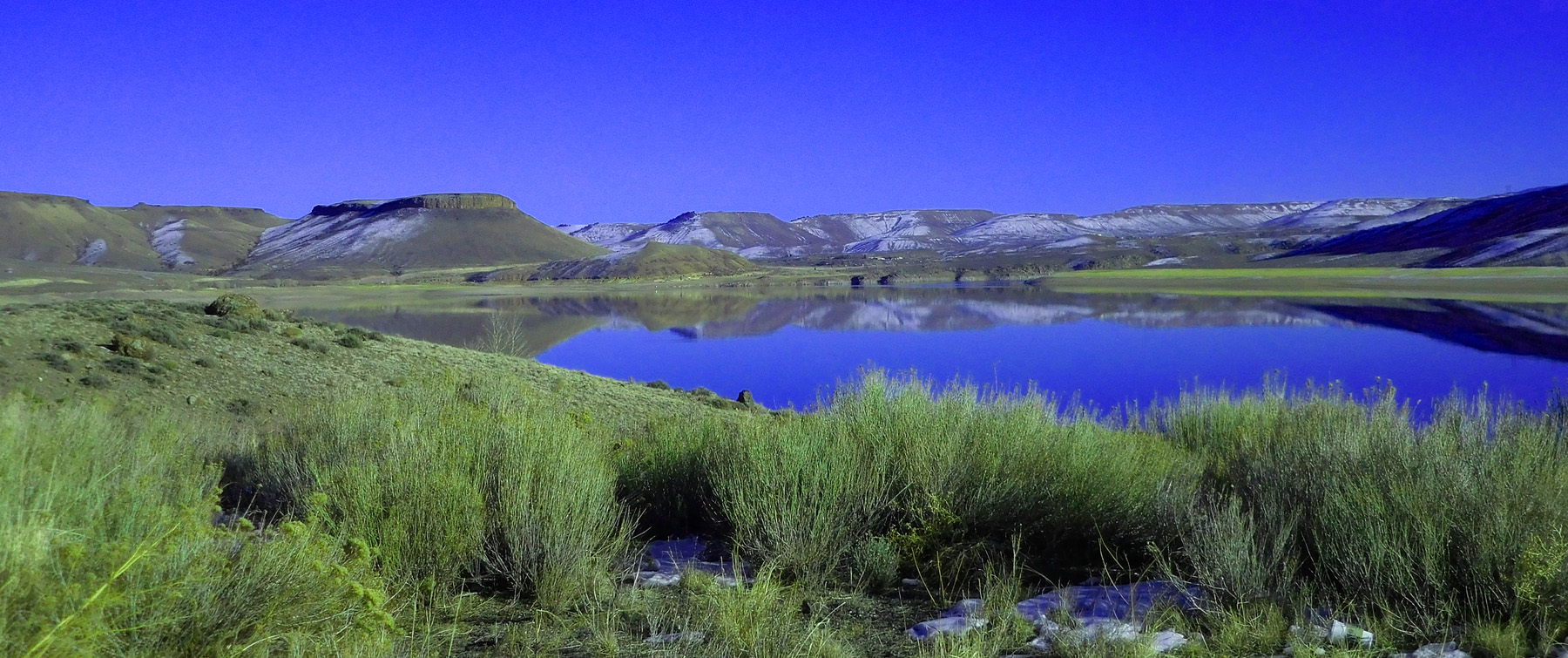
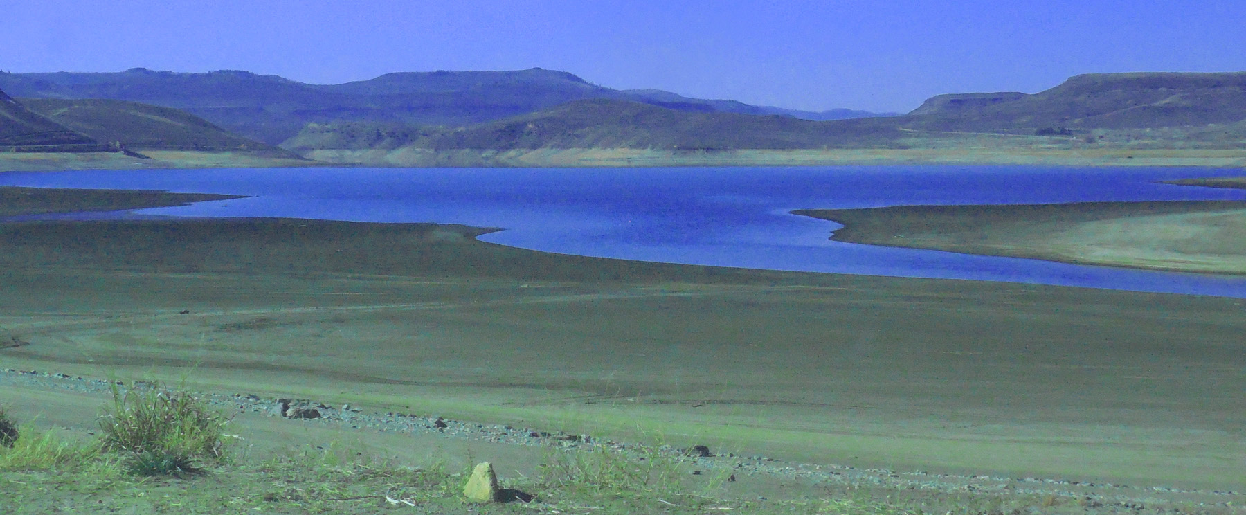
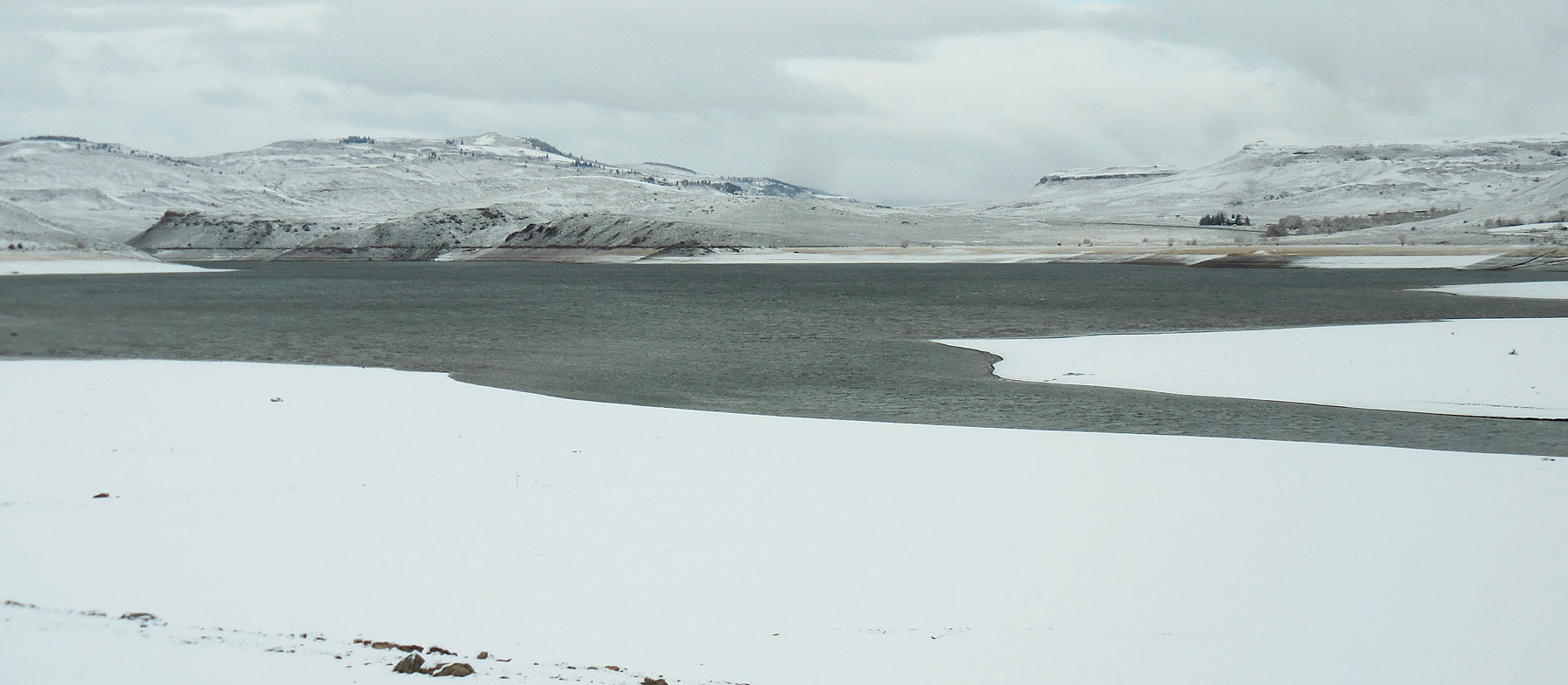
Low Reservoir waiting for the spring snow melt to fill
Dec 07 2020 - 2:43 pm
Dec 07 2020 - 2:43 pm
47 / 79
As in June
Jun 27 2017 - 6:39 pm
Jun 27 2017 - 6:39 pm
48 / 79
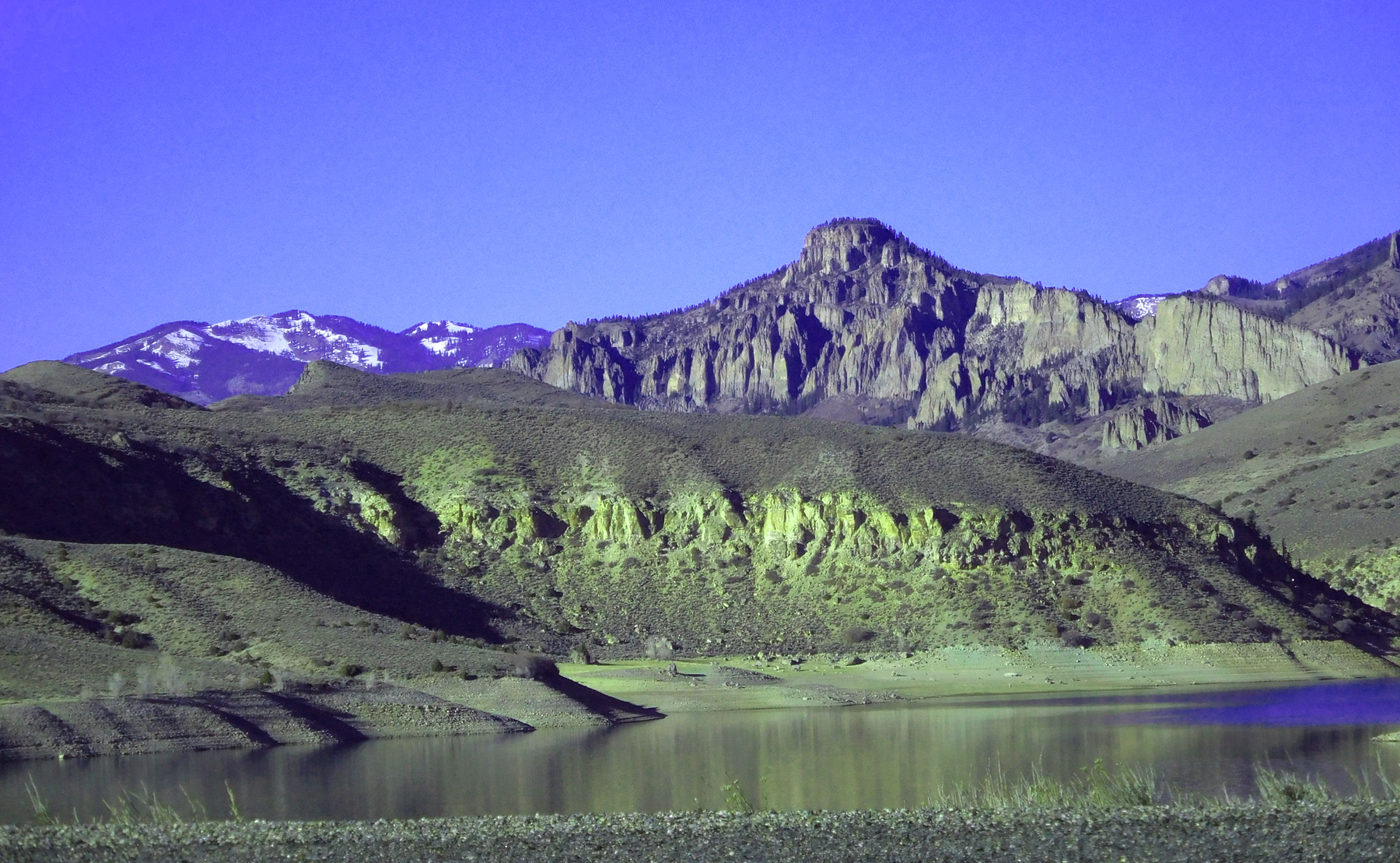
Reflection of flat ash flows from 30 million-year old volcanoes to the north and south
Dec 07 2020 - 2:48 pm
Dec 07 2020 - 2:48 pm
49 / 79
Weathered Mesozoic rocks baked from overlying lava flows
Dec 07 2020 - 2:50 pm
Dec 07 2020 - 2:50 pm
50 / 79
Upstream end of Blue Mesa Reservoir in early November
Nov 05 2020 - 12:35 pm
Nov 05 2020 - 12:35 pm
51 / 79
Two weeks later
Nov 24 2020 - 9:17 am
Nov 24 2020 - 9:17 am
52 / 79
US 50 follows Gunnison River from Grand Junction to Gunnison
Dec 07 2020 - 3:04 pm
Dec 07 2020 - 3:04 pm
53 / 79
US 50 follows Tomichi Creek from Gunnison deep into the Sawatch Range
Dec 07 2020 - 3:28 pm
Dec 07 2020 - 3:28 pm
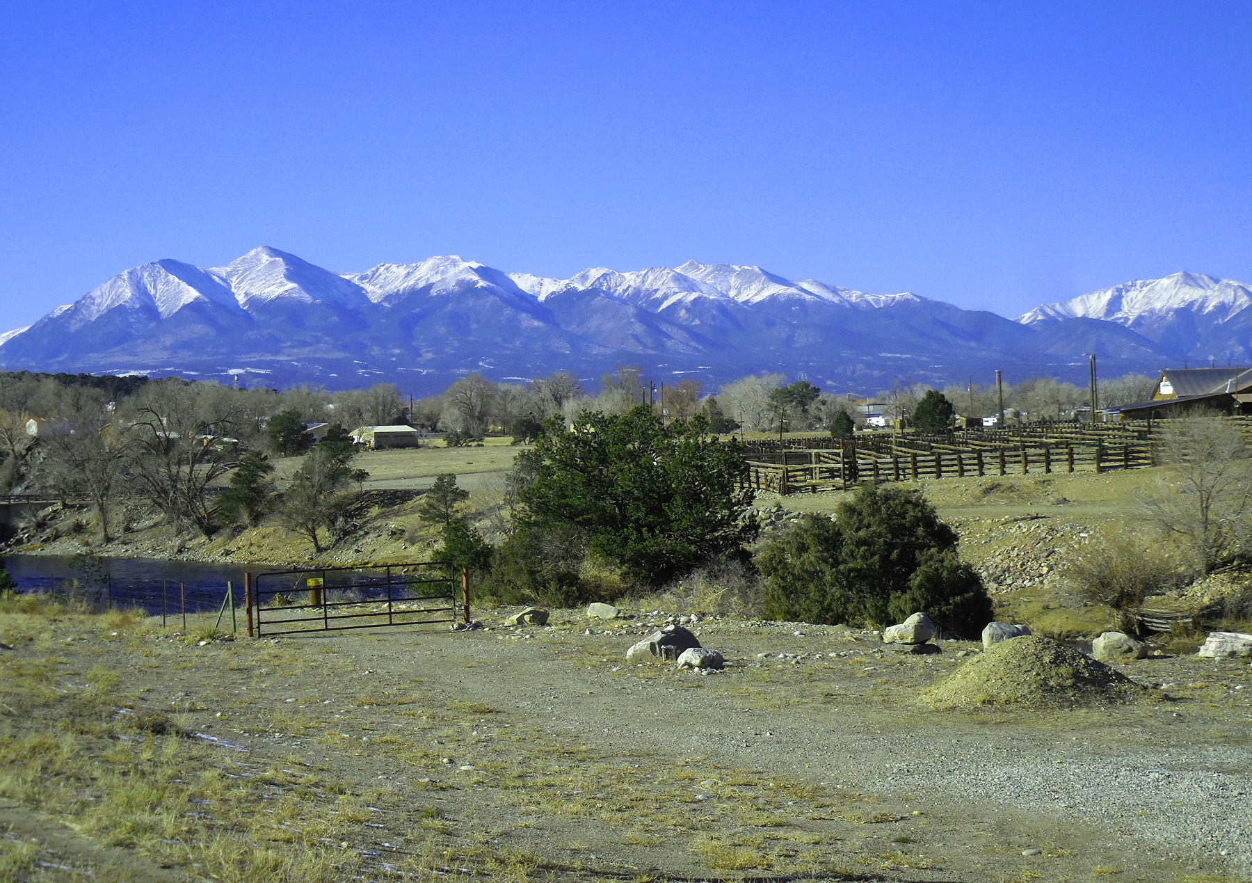
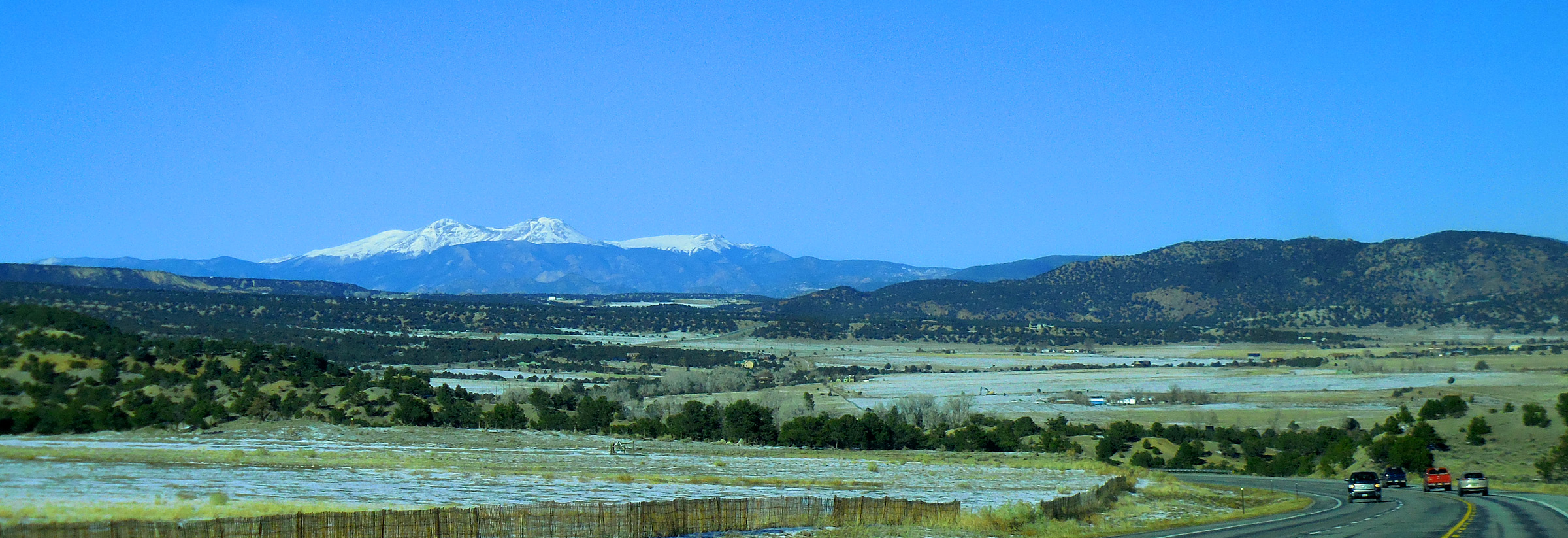
54 / 79
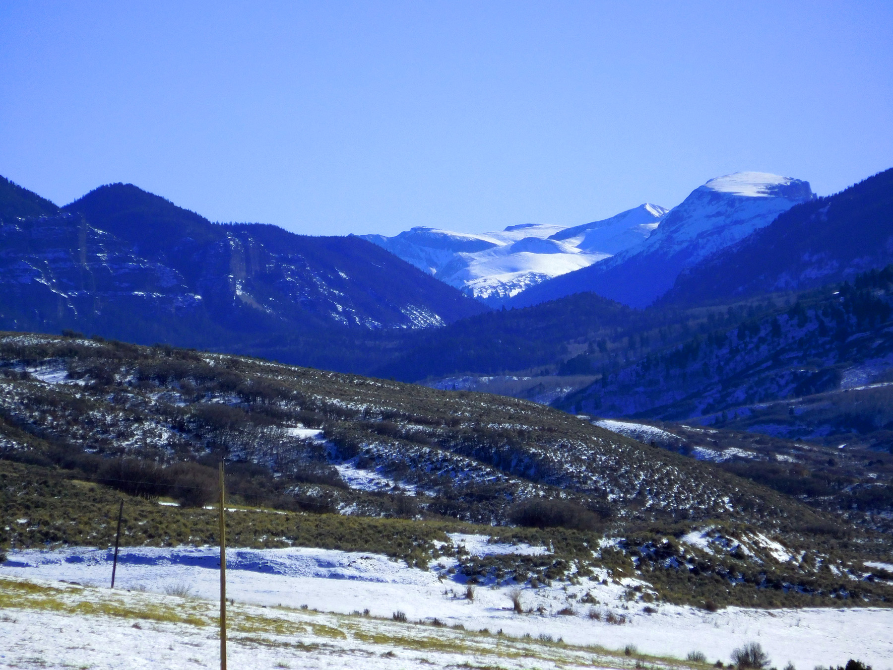
Pahlone Peak (12,667') at south end of the Sawatch Range
Dec 07 2020 - 4:04 pm
Dec 07 2020 - 4:04 pm
55 / 79
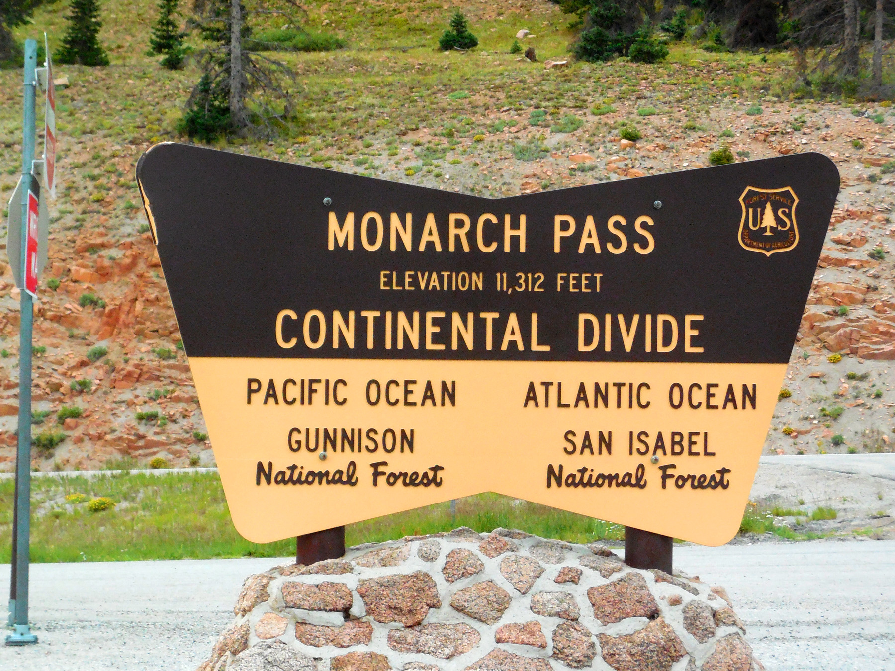
Monarch Pass
Jul 21 2018 - 1:50 pm
Jul 21 2018 - 1:50 pm
56 / 79
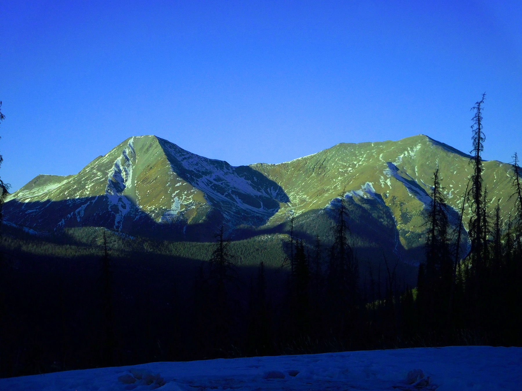
Mt. Shavano (14,229') and Tabequache Peak (14,155') from Monarch Pass)
Dec 07 2020 - 4:10 pm
Dec 07 2020 - 4:10 pm
57 / 79
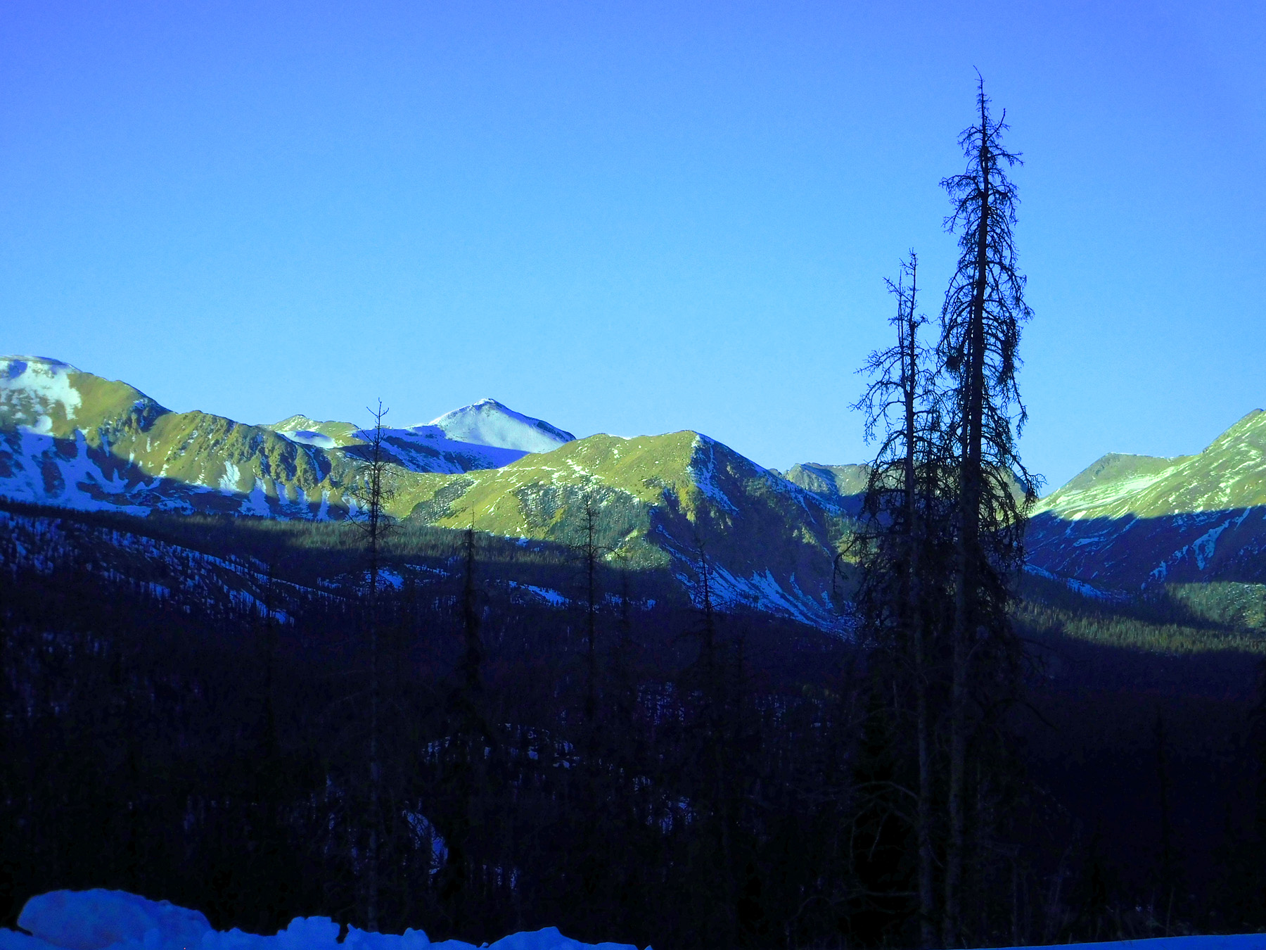
Mt. Antero (14,269') from Monarch Pass
Dec 07 2020 - 4:10 pm
Dec 07 2020 - 4:10 pm
58 / 79
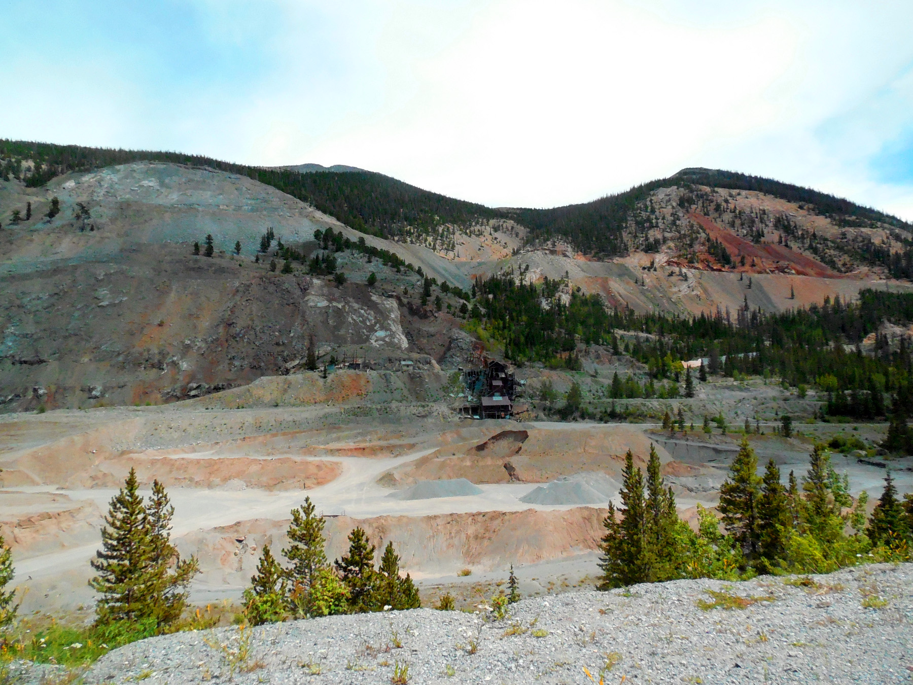
Inactive 'Madonna' Lead, Zinc and Silver Mine just east of Monarch Pass)
Jul 21 2018 - 2:07 pm
Jul 21 2018 - 2:07 pm
59 / 79
Twilight on the southern Mosquito Range
Dec 07 2020 - 4:43 pm
Dec 07 2020 - 4:43 pm
60 / 79
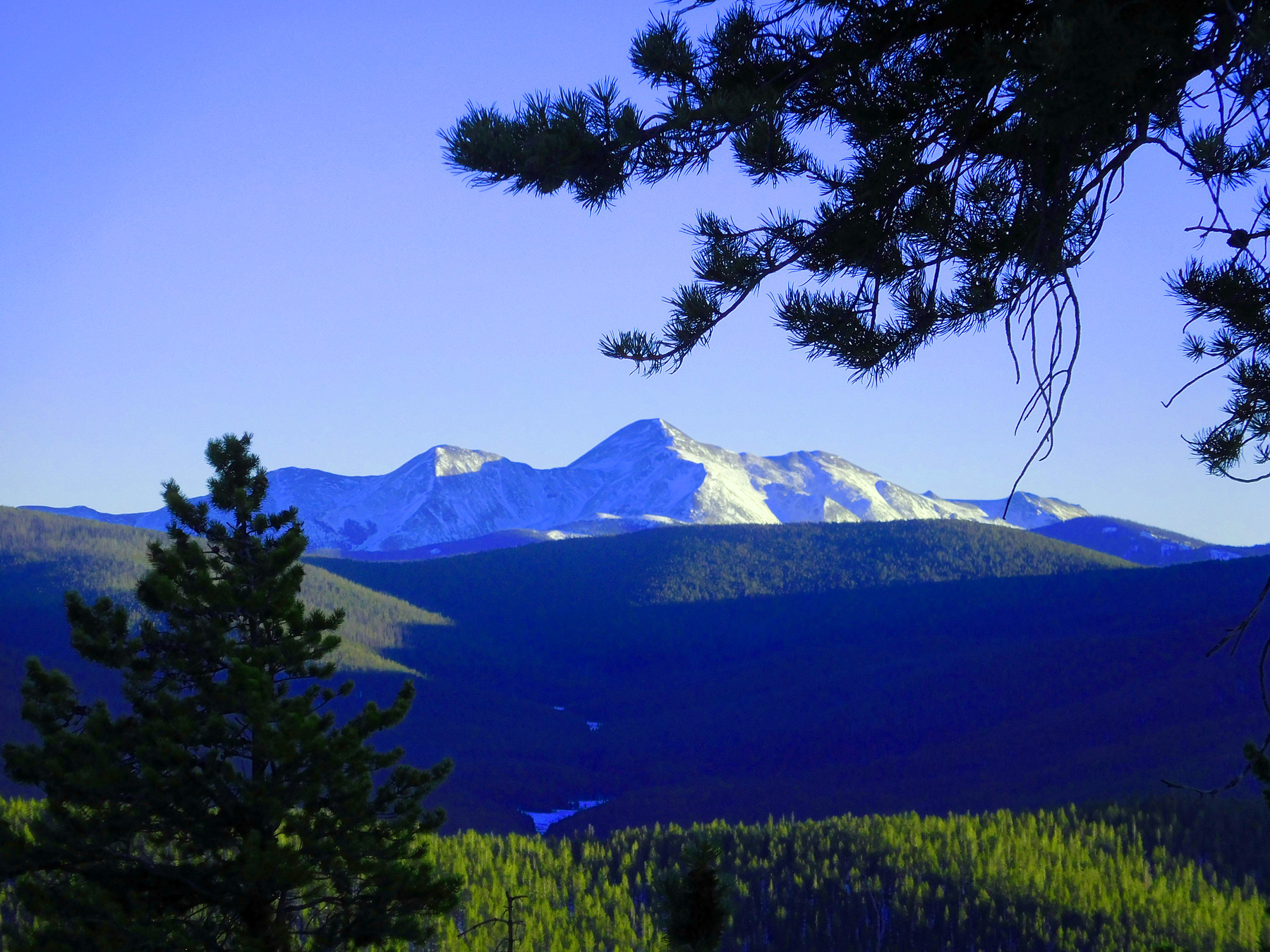
Sawatch Range in the morning from the Salida East Recreation Site)
Nov 27 2020 - 1:32 pm
Nov 27 2020 - 1:32 pm
61 / 79
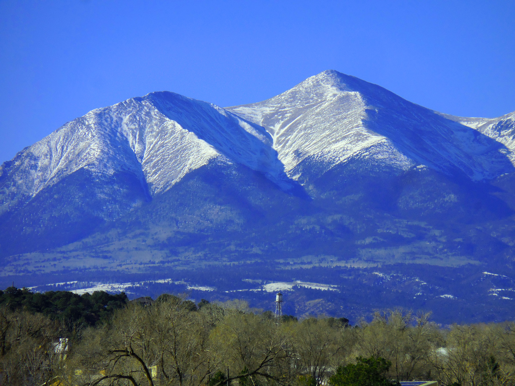
Tabequache Peak (14,155') and Mt. Shavano (14,229') from the east
Nov 27 2020 - 1:32 pm
Nov 27 2020 - 1:32 pm
62 / 79
Mt. Sherman (14,036') anchoring the south end of the Mosquito Range
Nov 27 2020 - 1:57 pm
Nov 27 2020 - 1:57 pm
63 / 79
Mt. Princeton (14,197') of the Sawatch Range
Nov 27 2020 - 1:57 pm
Nov 27 2020 - 1:57 pm
64 / 79
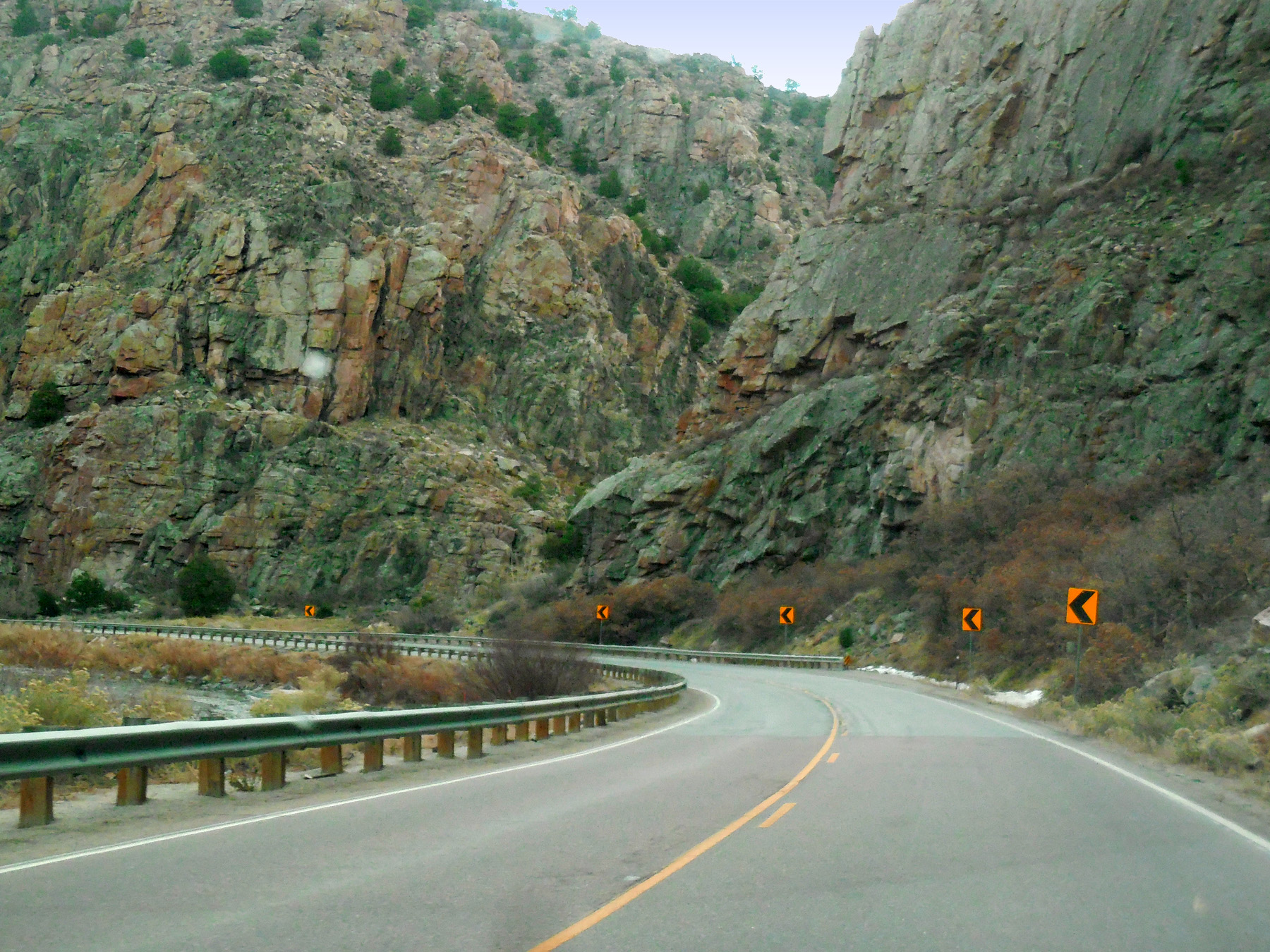
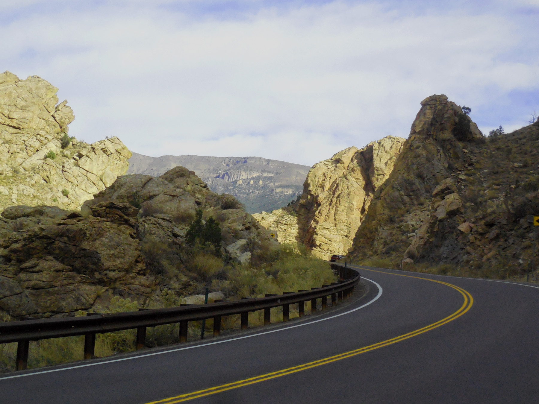
Entering canyon cut by the Arkansas River - hard granite all the way to Cañon City
Nov 06 2020 - 9:34 am
Nov 06 2020 - 9:34 am
65 / 79
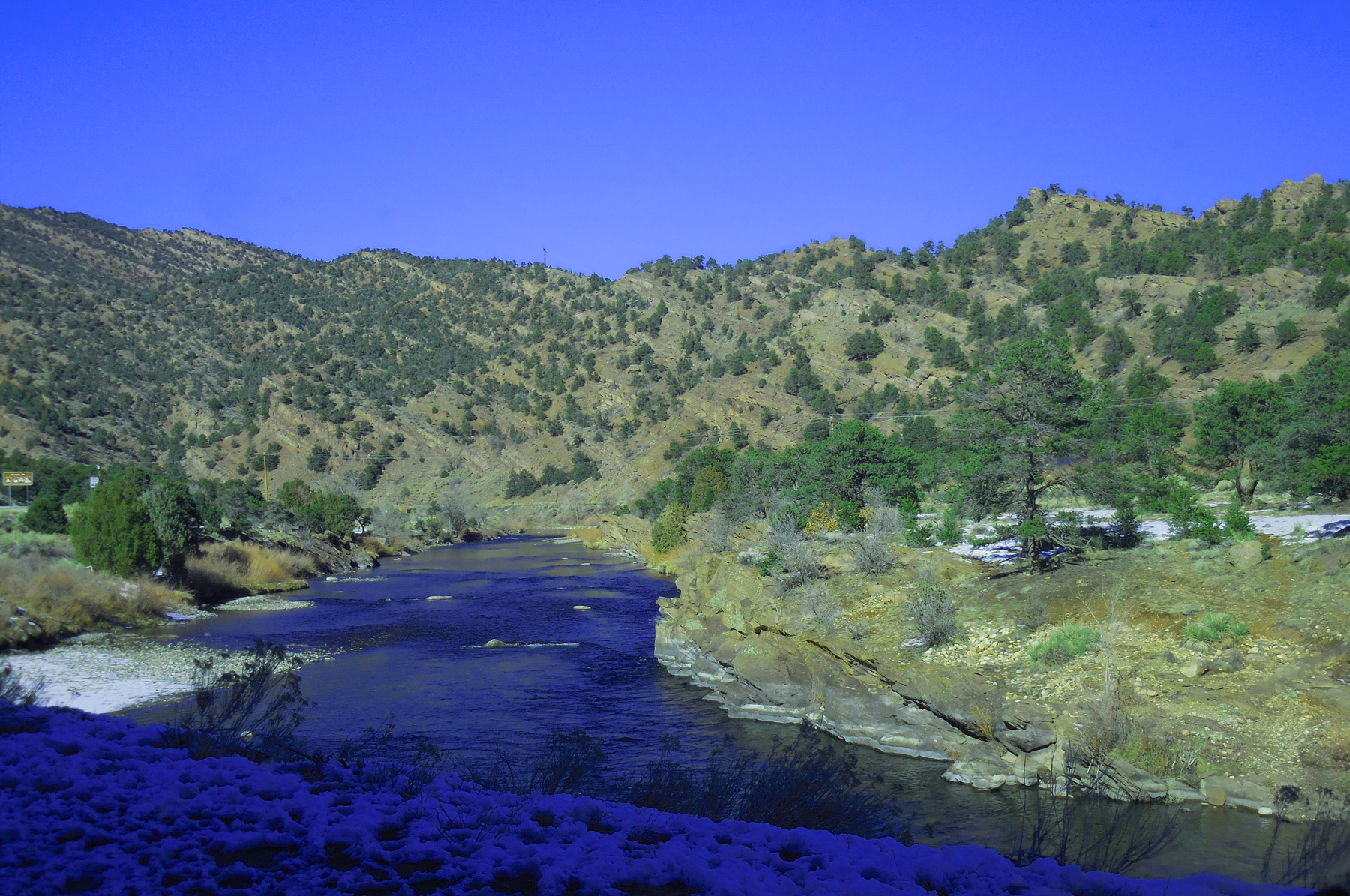
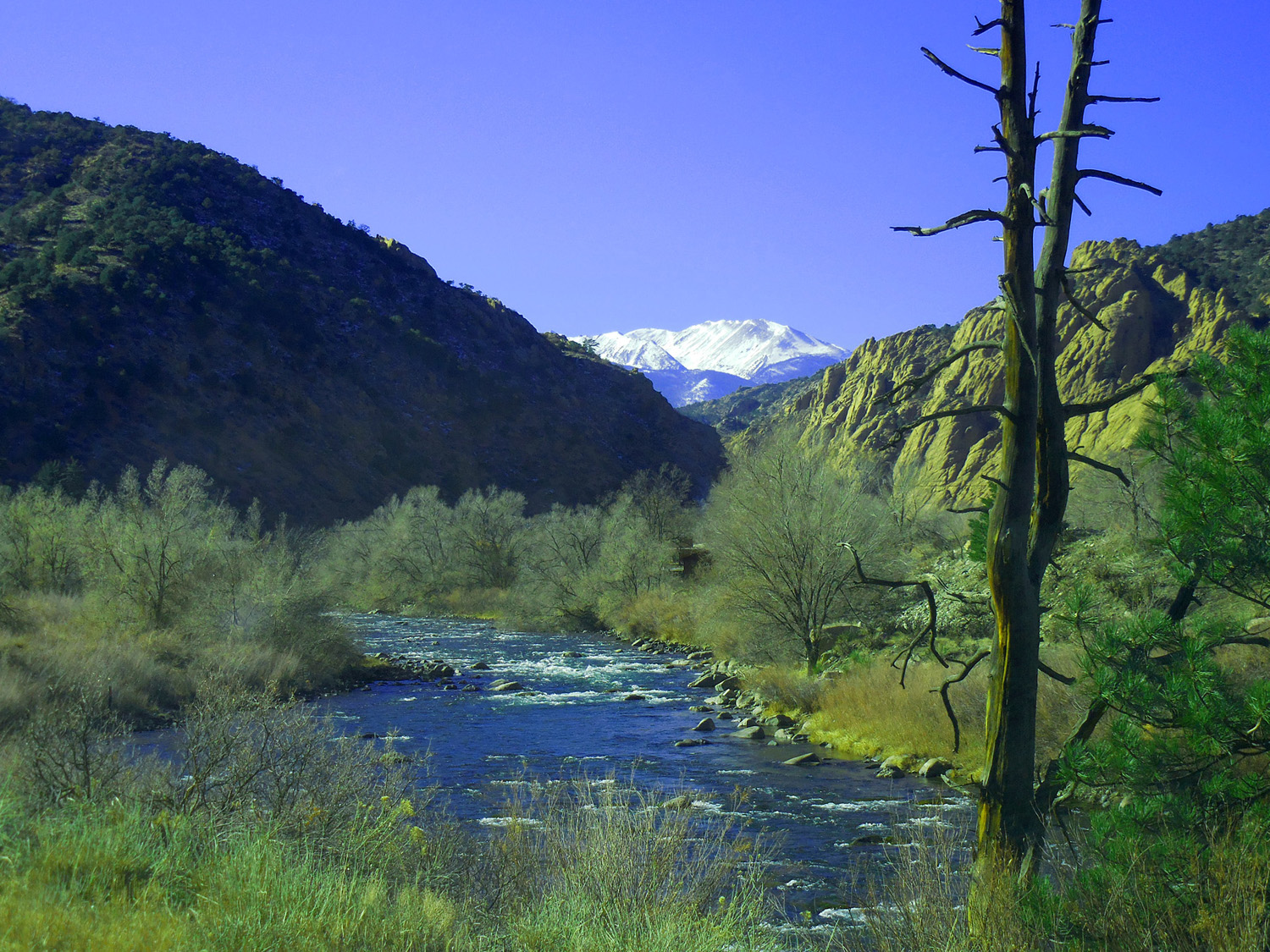
Arkansas River
Nov 27 2020 - 1:07 pm
Nov 27 2020 - 1:07 pm
66 / 79
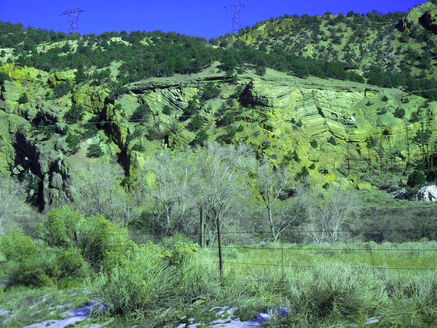
Strange geology
Nov 06 2020 - 9:34 am
Nov 06 2020 - 9:34 am
57 / 79
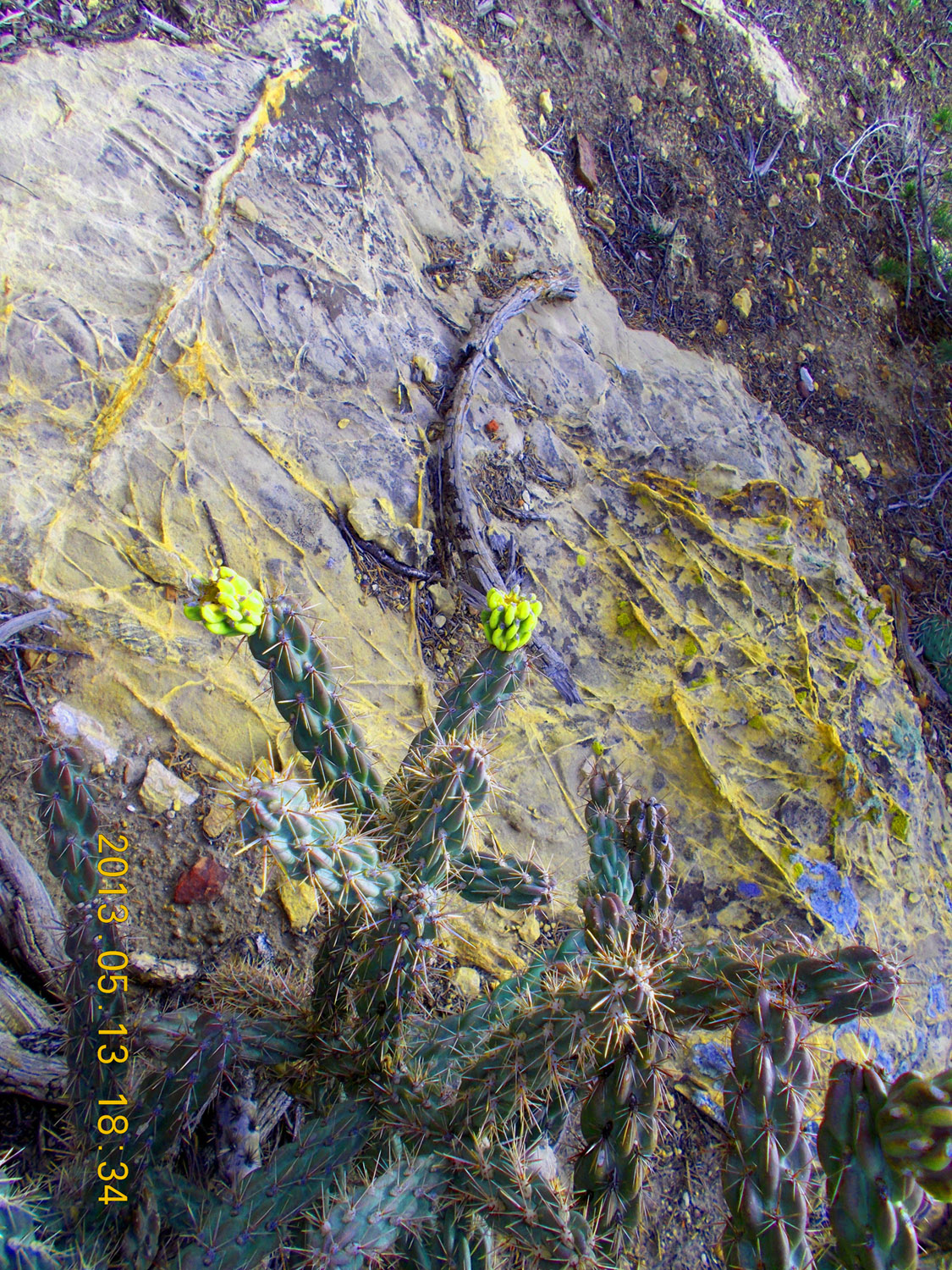
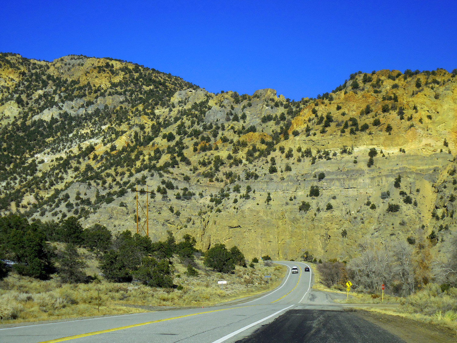
Yellow cracks and matching cactus
May 13 2013 - 6:46 pm
May 13 2013 - 6:46 pm
68 / 79
South Park volcanic rocks beyond granites of the canyon
Nov 06 2020 - 10:08 am
Nov 06 2020 - 10:08 am
69 / 79
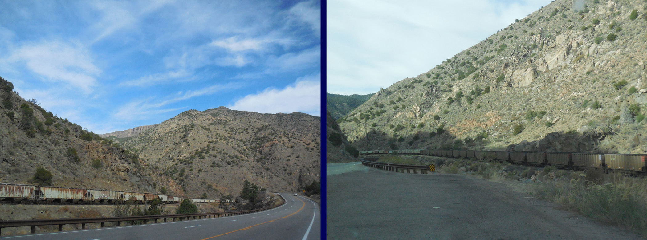
Three mile long coal-car storage
Nov 06 2020 - 10:10 am
Nov 06 2020 - 10:10 am
70 / 79
Twin Sisters (13,012') in the Sangre de Cristo Range over the Arkansas River
Nov 27 2020 - 12:49 pm
Nov 27 2020 - 12:49 pm
71 / 79
Faulted Paleozoic rocks
Nov 27 2020 - 1:19 pm
Nov 27 2020 - 1:19 pm
72 / 79
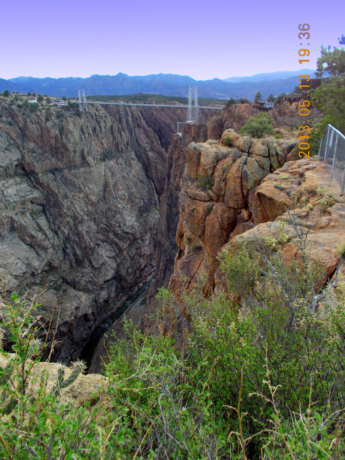
Royal Gorge
May 13 2013 - 6:36 pm
May 13 2013 - 6:36 pm
73 / 79
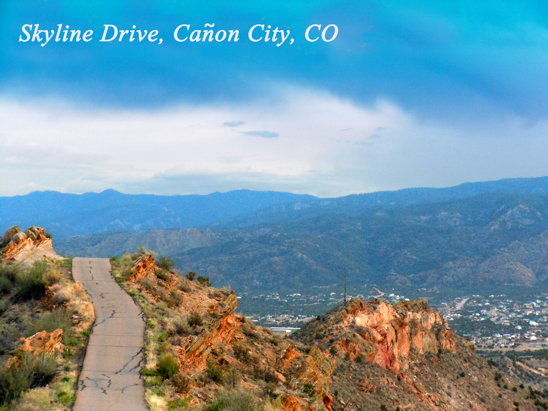
Wet Mountains beyond Cañon City
May 13 2013 - 7:05 pm
May 13 2013 - 7:05 pm
74 / 79
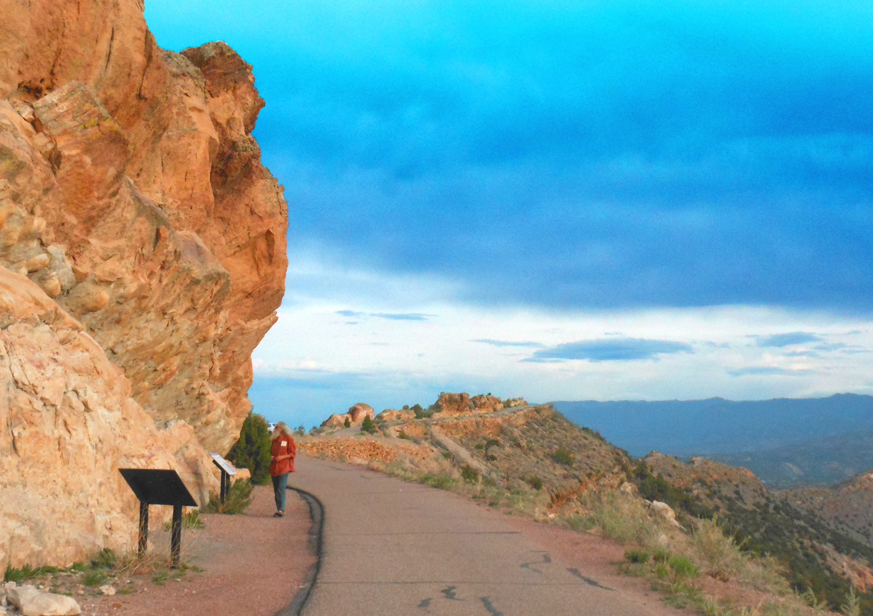
Your truly
May 13 2013 - 7:10 pm
May 13 2013 - 7:10 pm
75 / 79
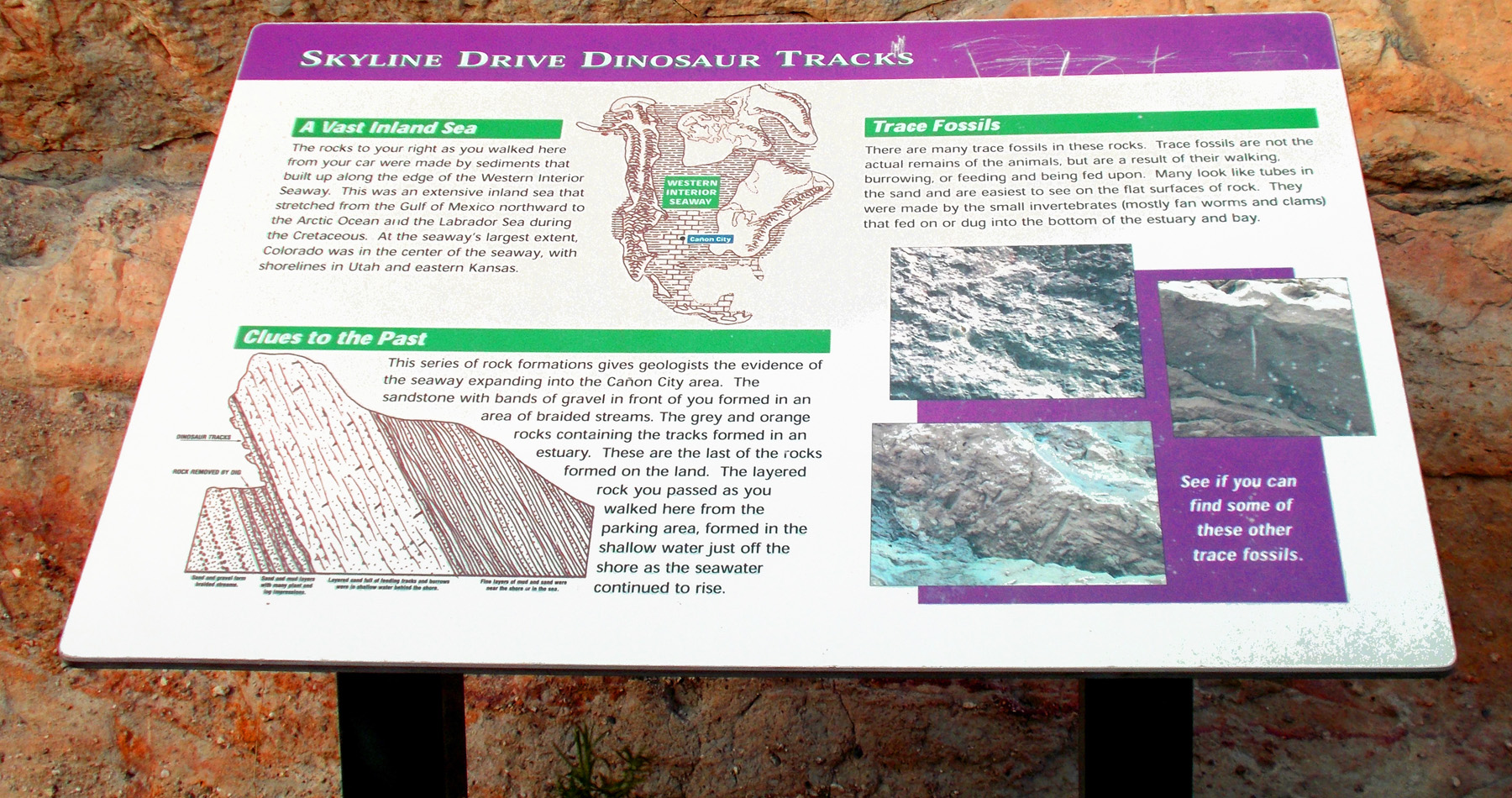
Road Sign
May 13 2013 - 7:15 pm
May 13 2013 - 7:15 pm
76 / 79
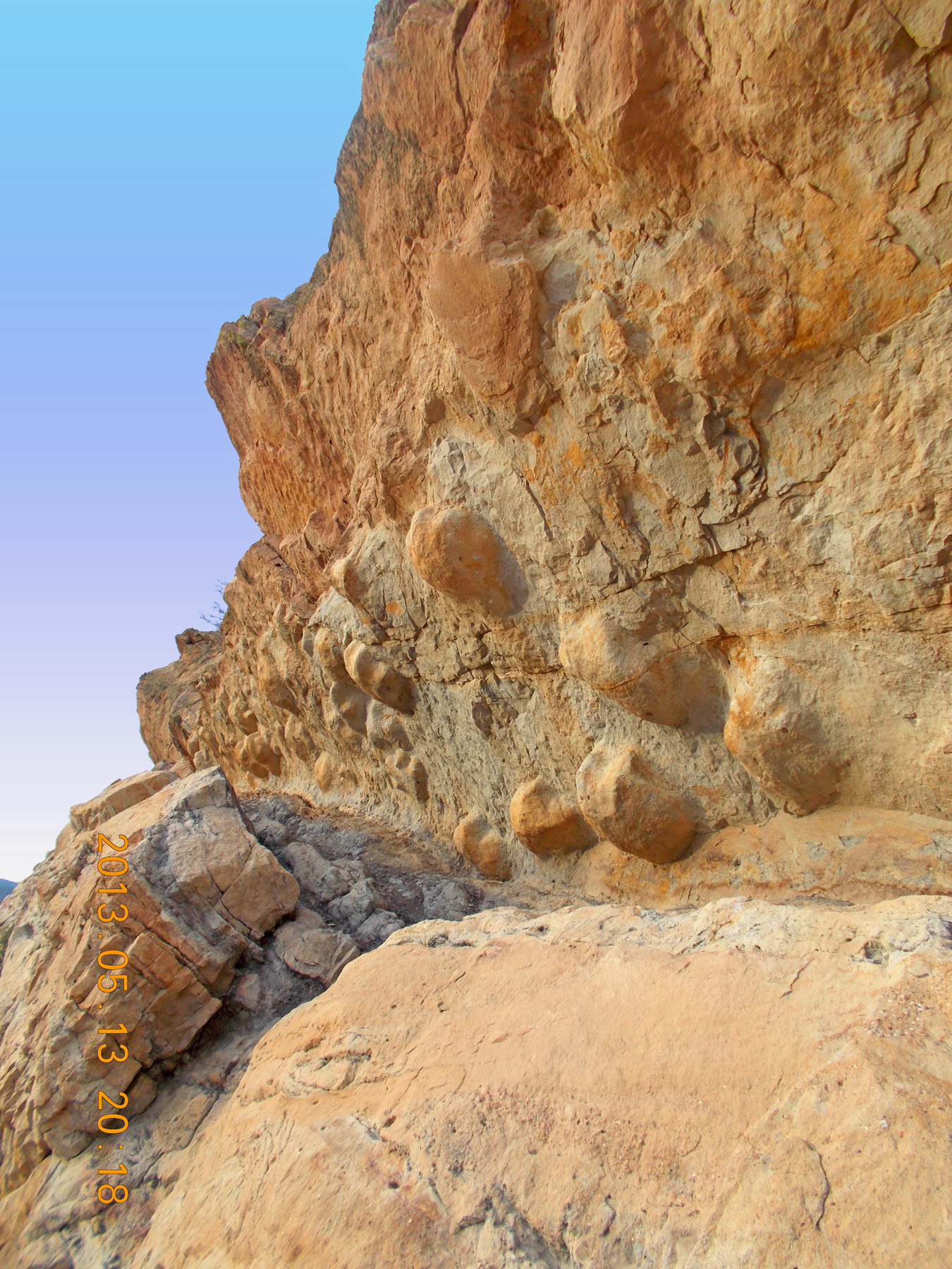
Dinosaur tracks (depressions in eroded mud)
May 13 2013 - 7:18 pm
May 13 2013 - 7:18 pm
77 / 79
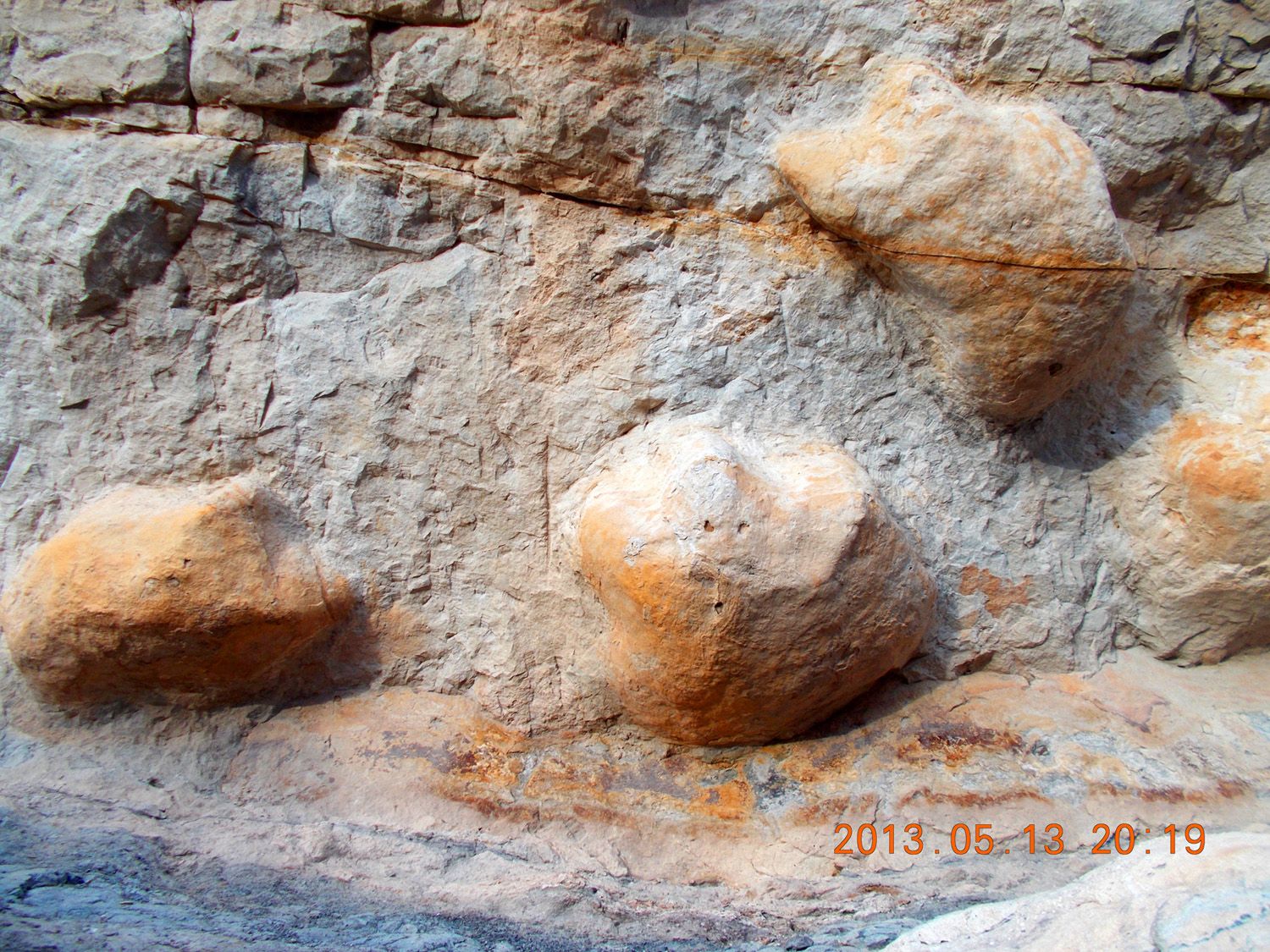
Close up
May 13 2013 - 7:19 pm
May 13 2013 - 7:19 pm
78 / 79
You're wrong, Mr. Columbus! There IS an end of the world
May 13 2013 - 7:24 pm
May 13 2013 - 7:24 pm
79 / 79
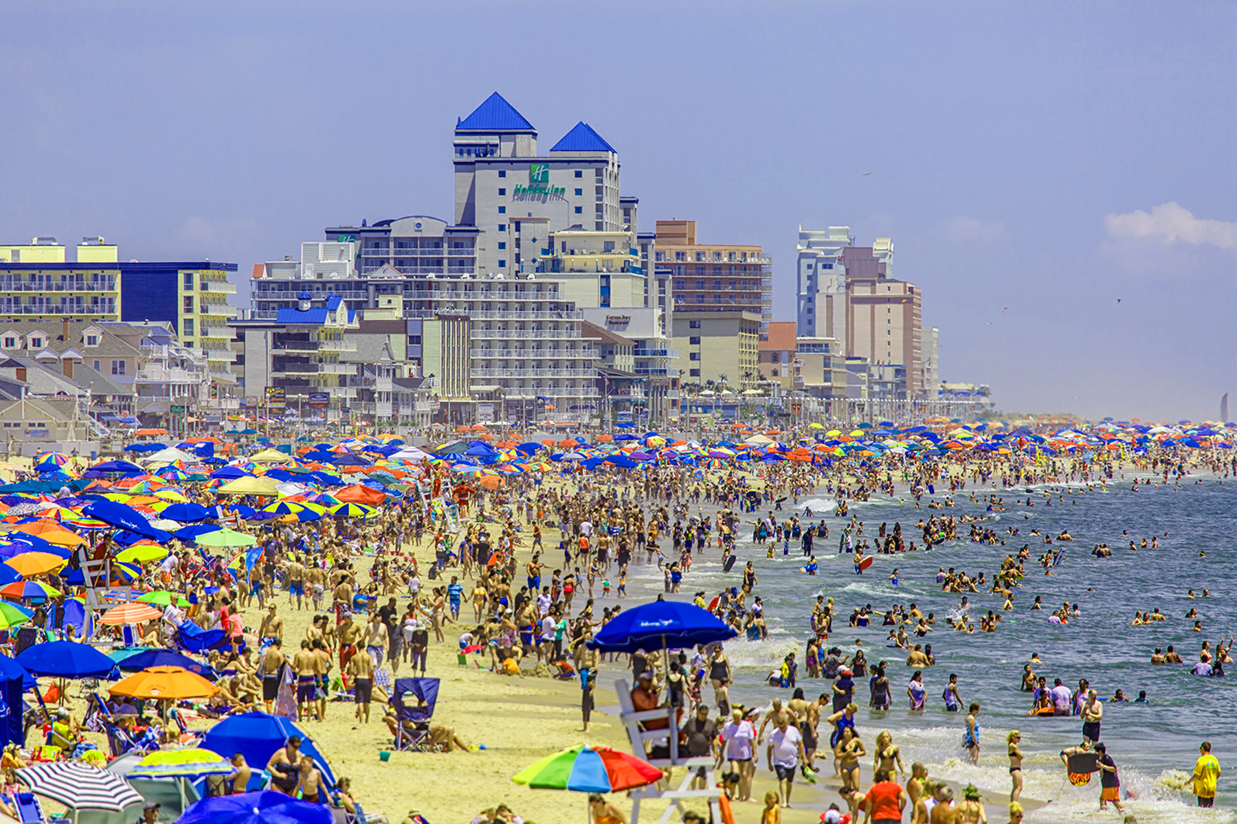
East End of US 50 at Ocean City, MD - no thanks, I'll take the loneliest highway
image from Google Images: Ocean City, MD
image from Google Images: Ocean City, MD