32 Slides
19 in Rocky Mountain National Park
Road Index or use your browser "back" arrow or function 2 second cycle: please choose another user-controlled 5 seconds 10 seconds 30 seconds 1 minute
1 / 32
2 / 32

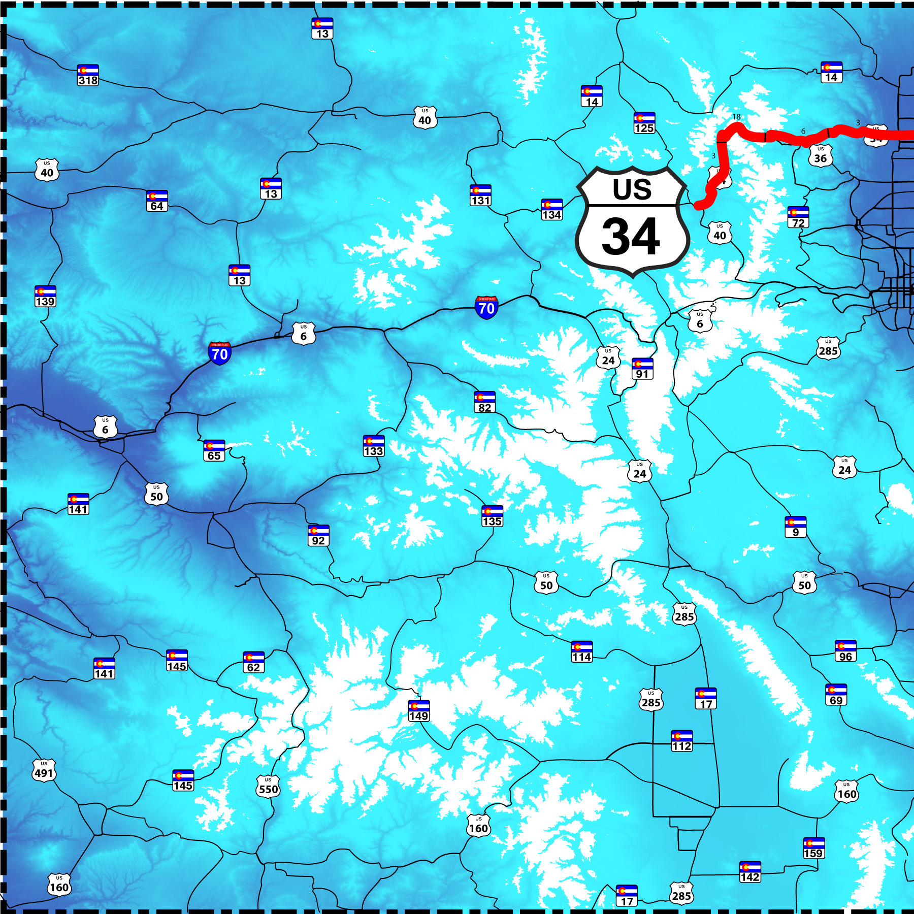
West end of US 34
US 40 at Granby
US 40 at Granby
3 / 32
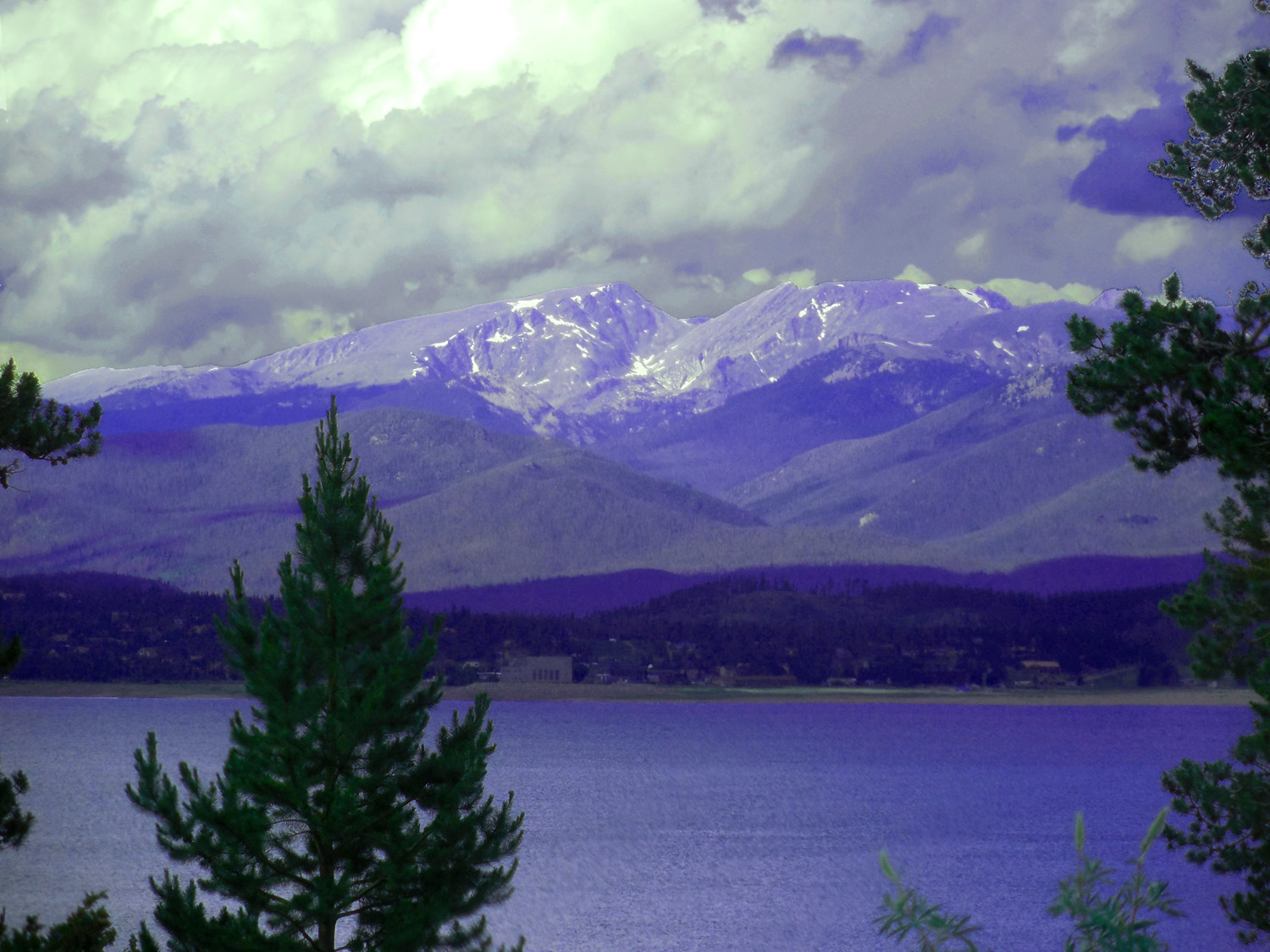
Ptarmigan Mountain (12,324') and Andrews Peak (12,565') over Granby Reservoir
Jun 30 2013 - 4:11 pm
Jun 30 2013 - 4:11 pm
4 / 32
Jun 30 2013 - 4:56 pm
5 / 32
Mt. Richthofen (12,940') and Static Peak (11,302') (glacial headwaters)
Jun 30 2013 - 4:59 pm
Jun 30 2013 - 4:59 pm
6 / 32
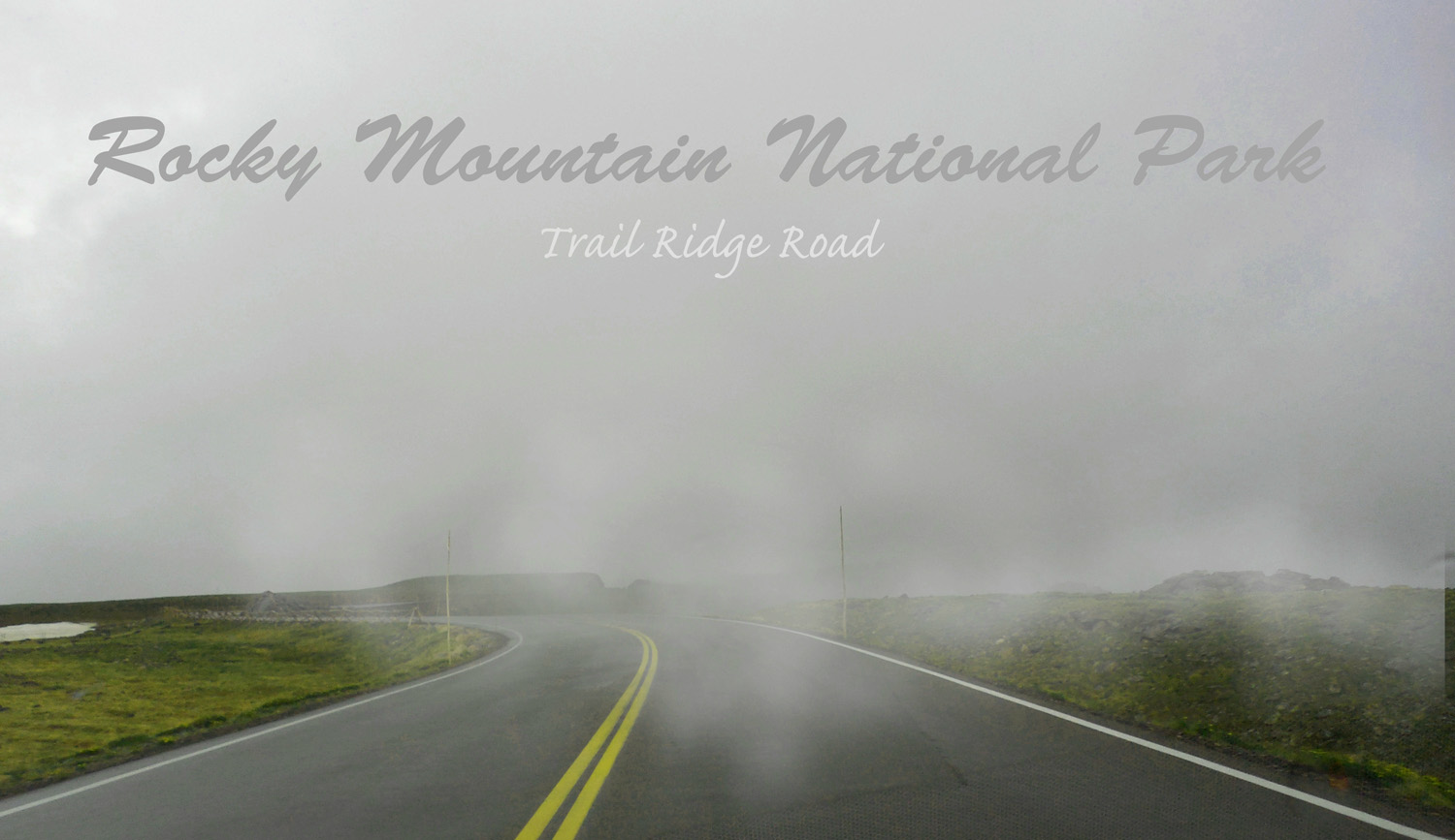
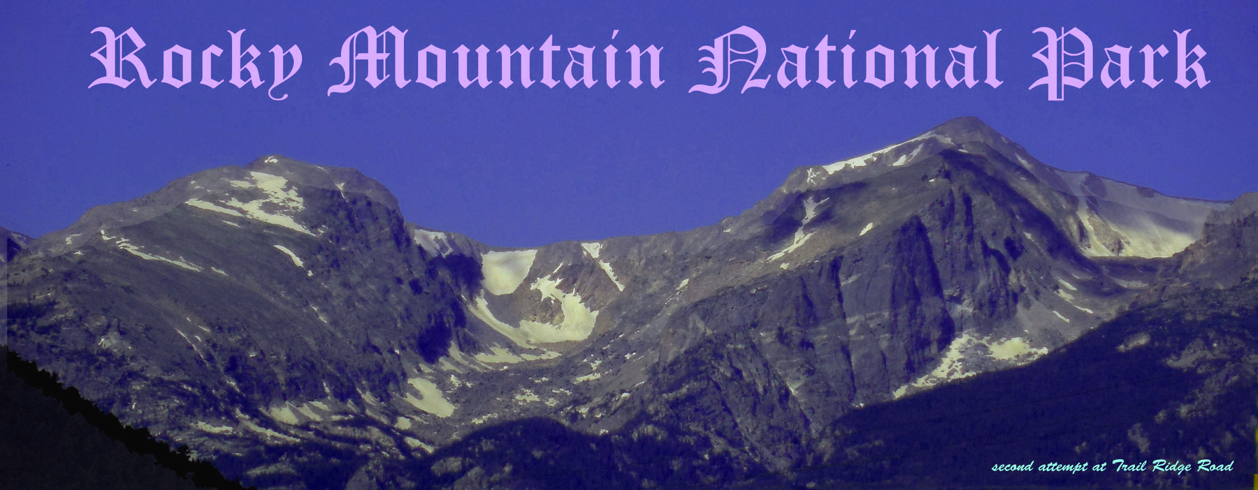
First attempt at Trail Ridge Road in the clouds
Jun 30 2013 - 5:27 pm
Jun 30 2013 - 5:27 pm
7 / 32
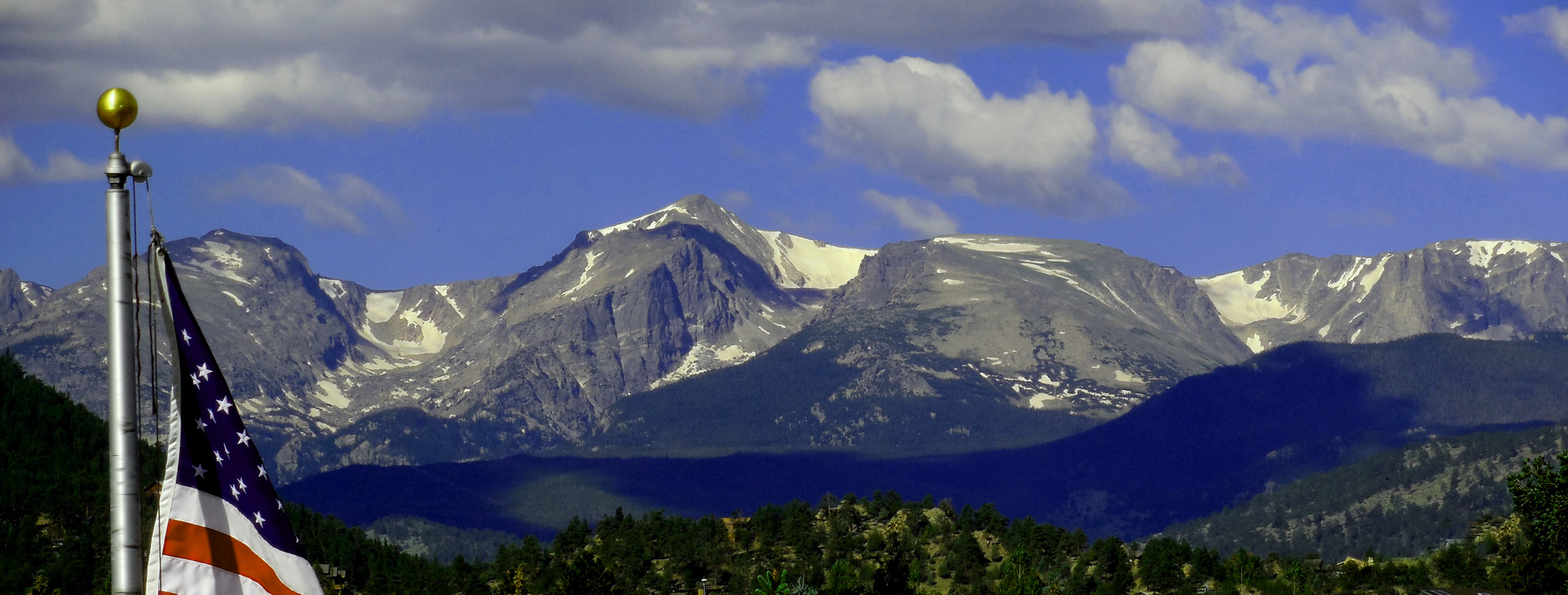
Mt. Meeker (13,911') and Long Peak (14,259') from Estes Park
Jun 30 2013 - 7:43 pm
Jun 30 2013 - 7:43 pm
8 / 32

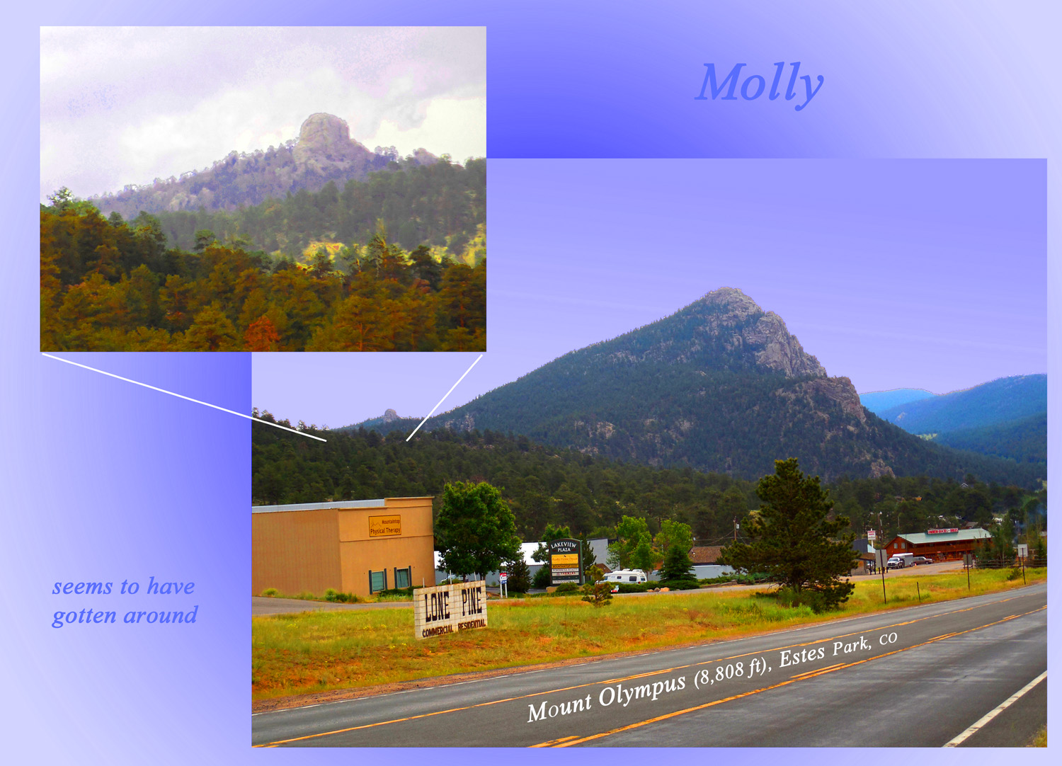
Twin Sisters (11,428') (both sisters)
Jun 30 2013 - 7:28 pm
Jun 30 2013 - 7:28 pm
9 / 32
Zumie's Thumb on Long Peak and foreground interloper
Jun 30 2013 - 6:21 pm
Jun 30 2013 - 6:21 pm
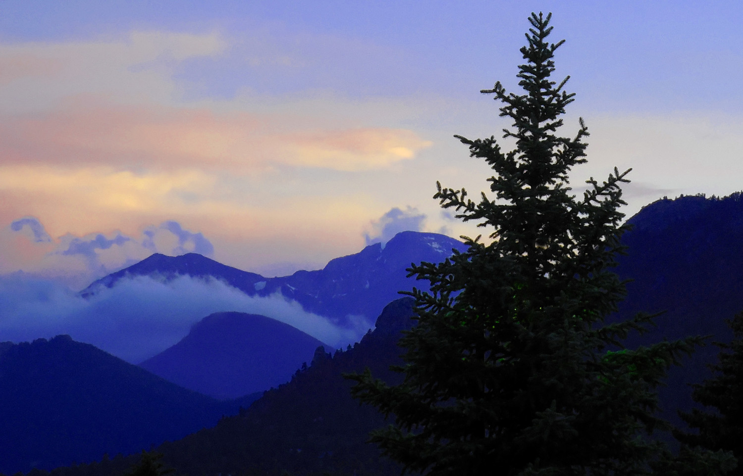
10 / 32
Next morning
Jul 01 2013 - 7:58 am
Jul 01 2013 - 7:58 am
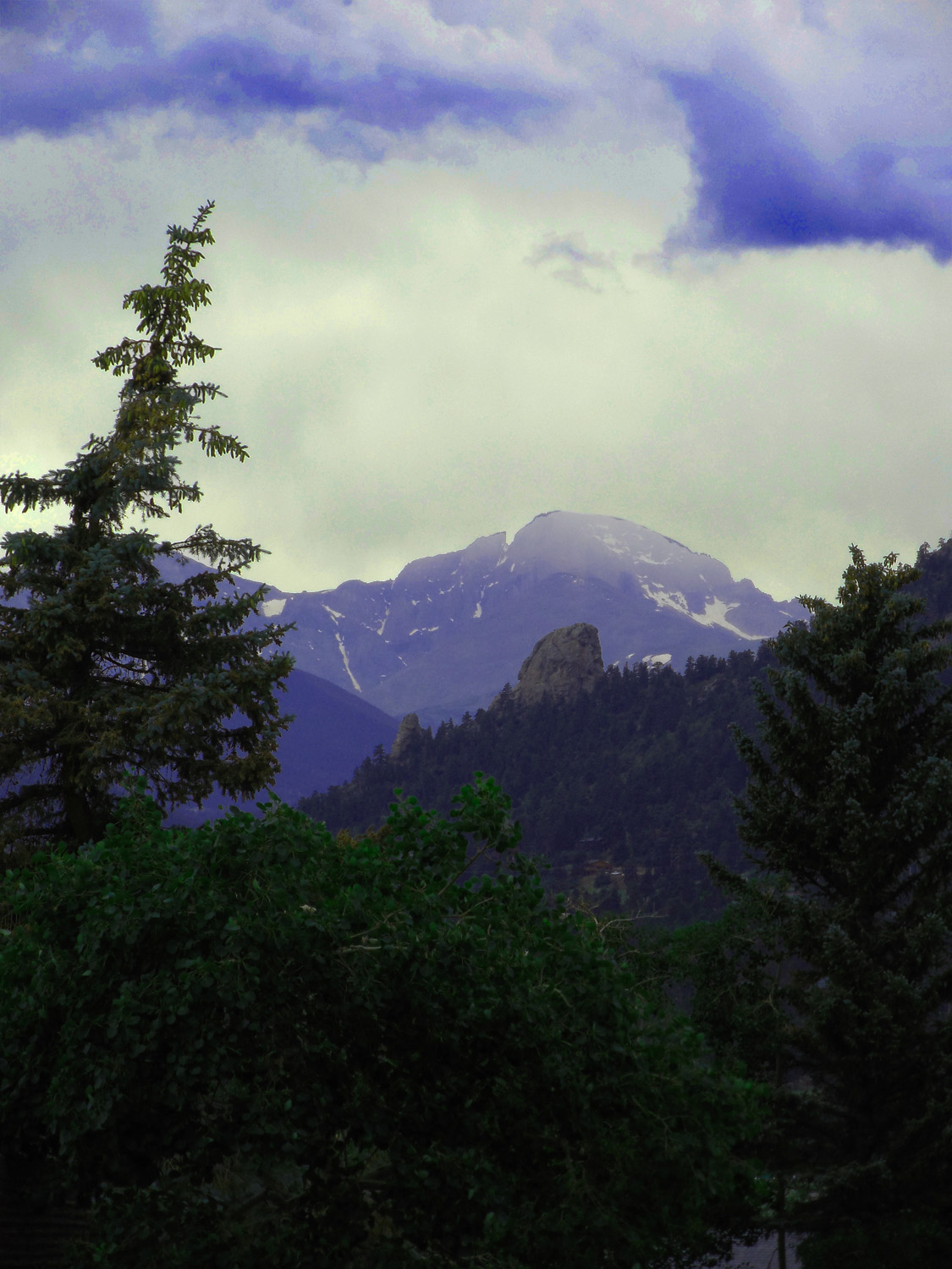
11 / 32
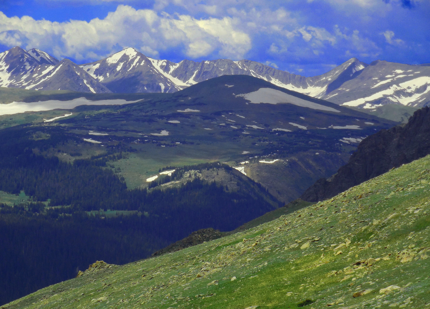
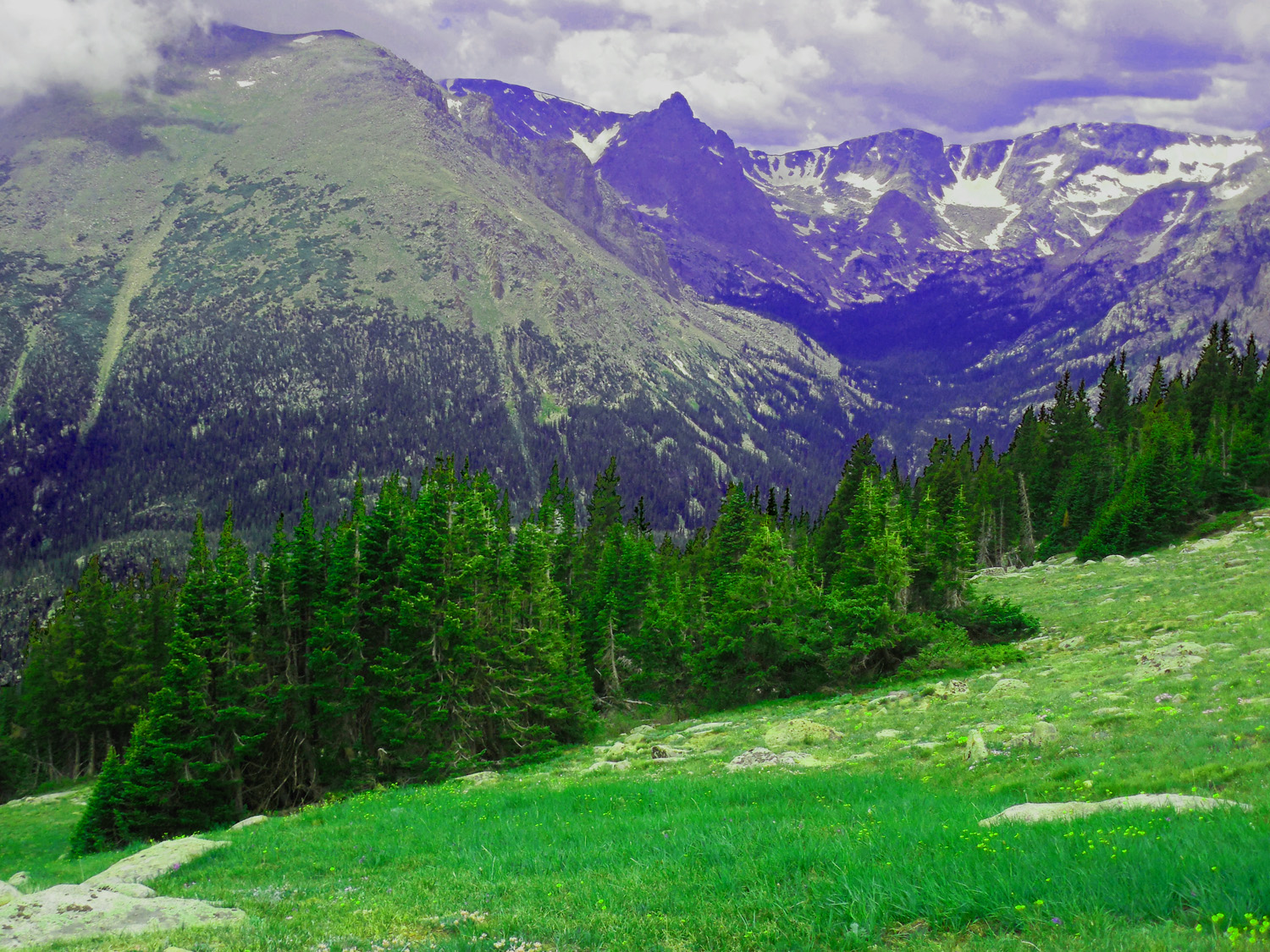
Front Range
Jul 01 2013 - 8:29 am
Jul 01 2013 - 8:29 am
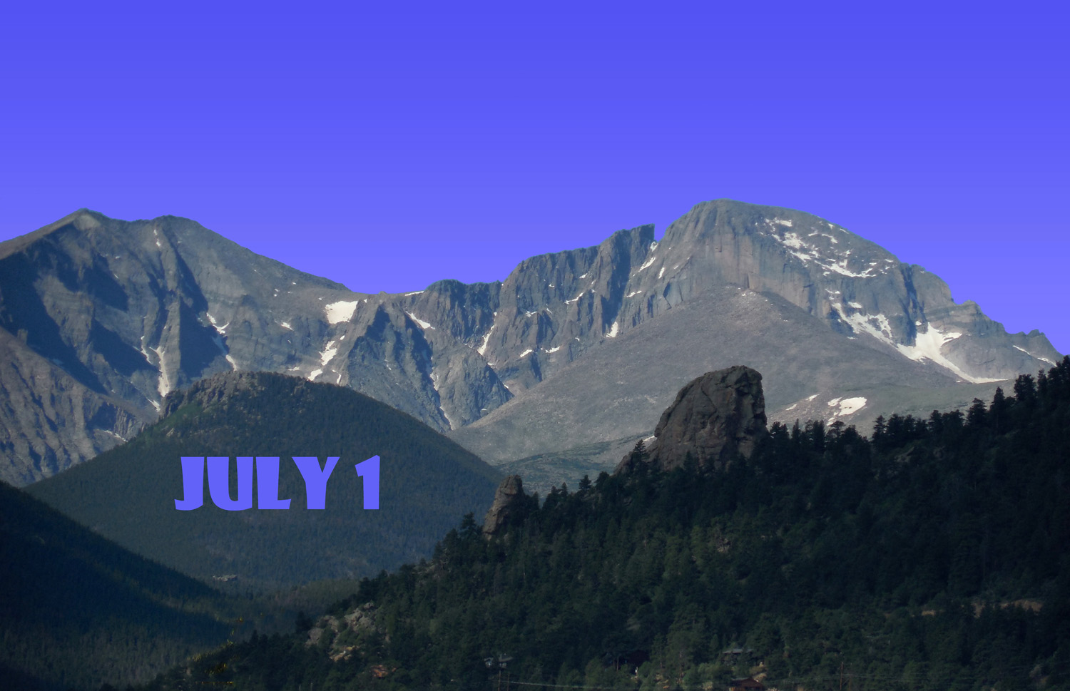
12 / 32
Jul 01 2013 - 7:58 am
13 / 32
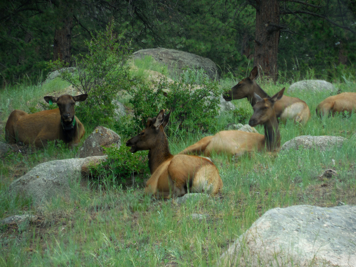
Herd of elk does
Jul 01 2013 - 1:32 pm
Jul 01 2013 - 1:32 pm
14 / 32
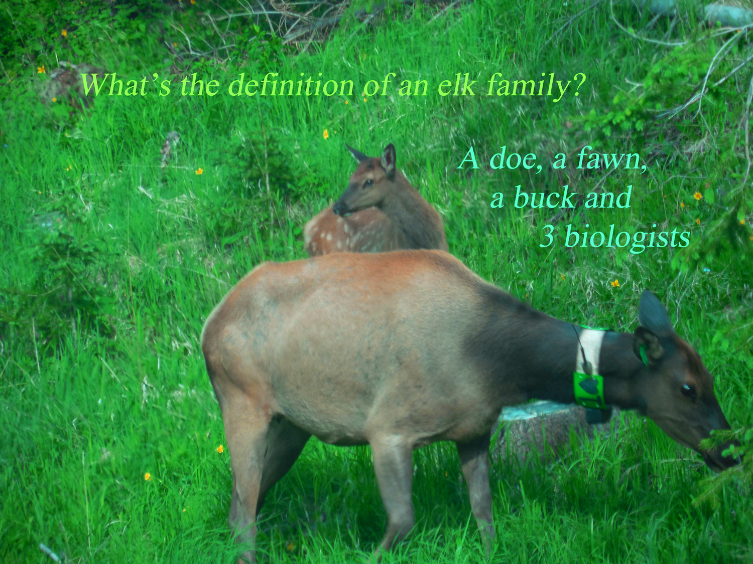
Doe and fawn
Jun 30 2013 - 4:41 pm
Jun 30 2013 - 4:41 pm
15 / 32
Jul 01 2013 - 1:00 pm
16 / 32
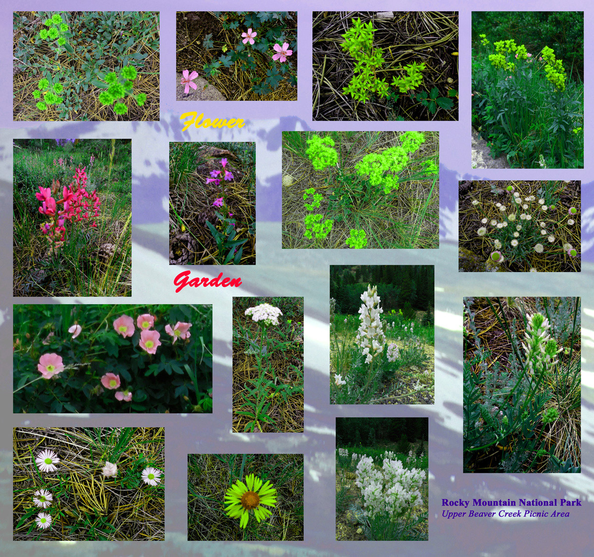
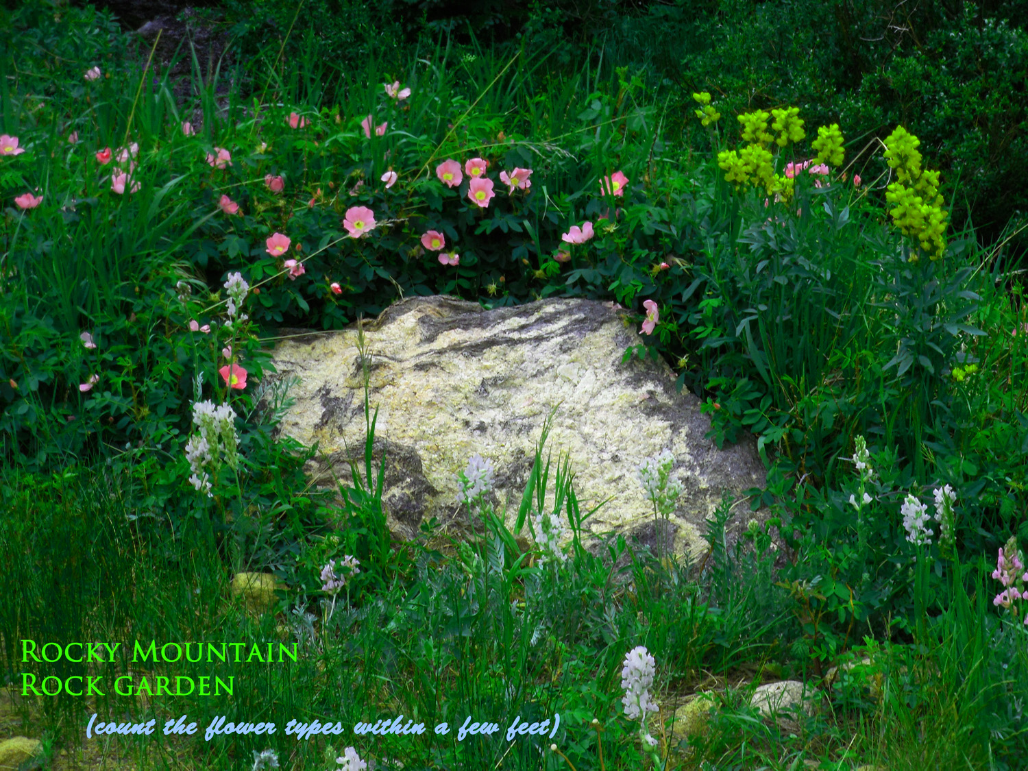
Fifteen types and counting
Jul 01 2013 - 1:15 pm
Jul 01 2013 - 1:15 pm
17 / 32
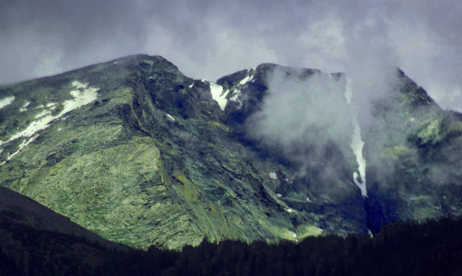
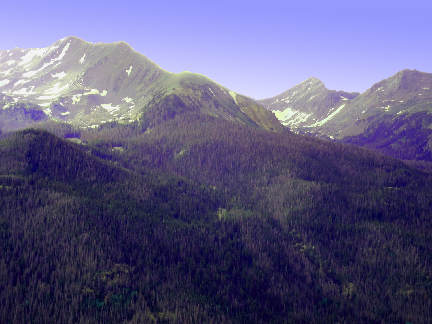
Mt. Chiquita (13,069') and Ypsilon Mountain (13,514') of the Mummy Range
Jul 01 2013 - 11:58 am
Jul 01 2013 - 11:58 am
18 / 32
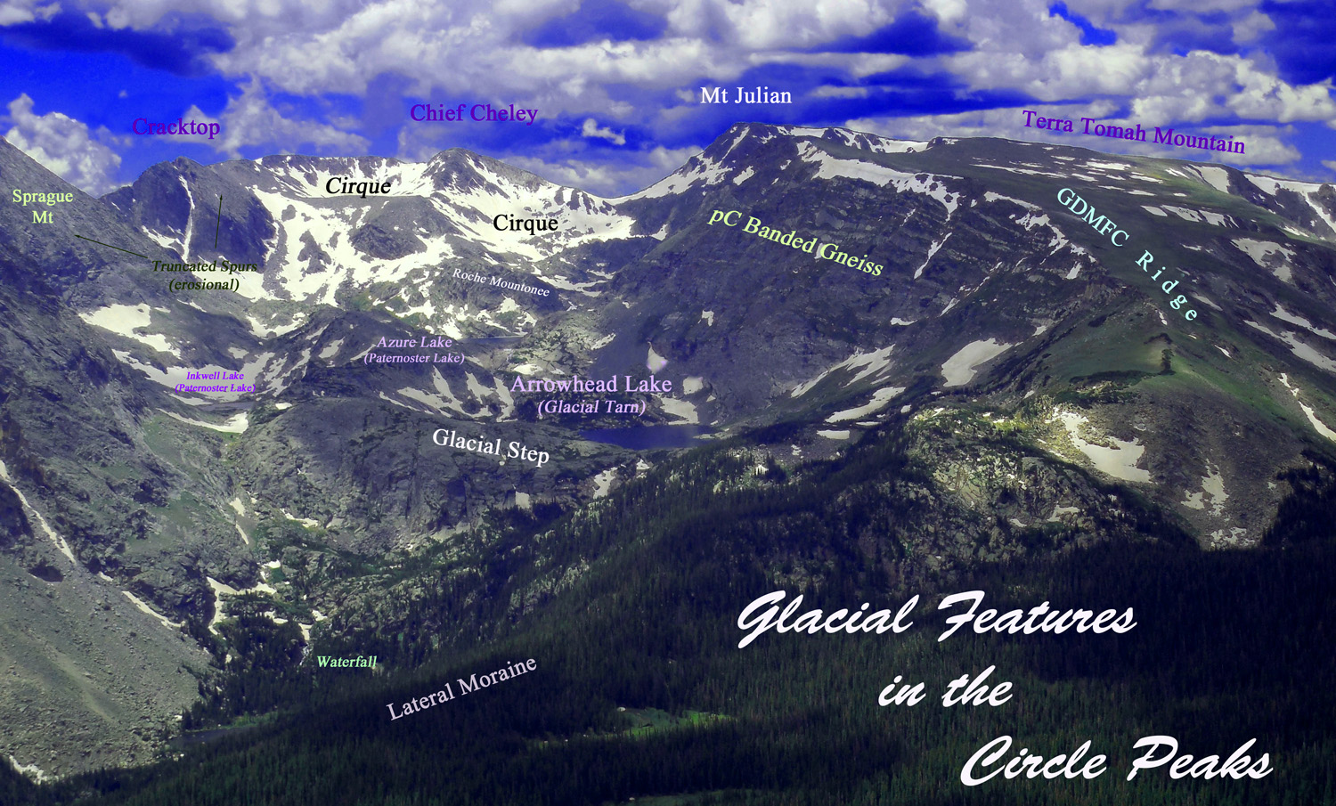
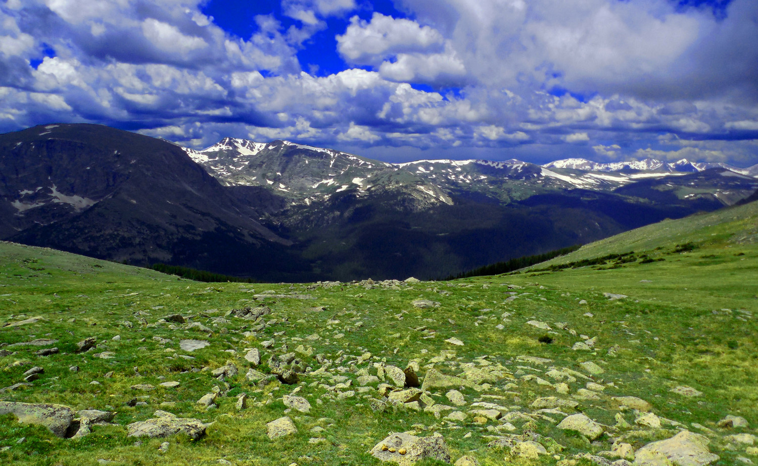
Circle Peaks
Jul 01 2013 - 12:08 pm
Jul 01 2013 - 12:08 pm
19 / 32
Circle Peaks
Jul 01 2013 - 12:08 pm
Jul 01 2013 - 12:08 pm
20 / 32

Hayden Spire (12,408') and Chief Cheley Peak (12,815') (Frank 'Chief' Cheley was founder of Cheley camps where I learned to love the Colorado Rockies as a teenager)
Jul 01 2013 - 12:10 pm
Jul 01 2013 - 12:10 pm
21 / 32
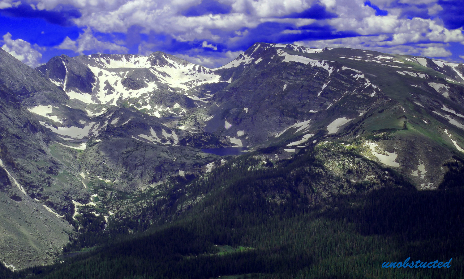
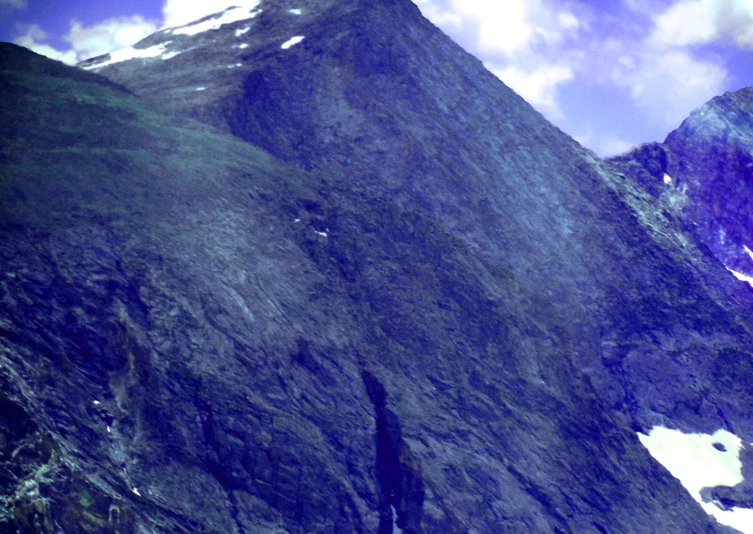
Terra Tomah Mountain (12,718') with a glacial gouge out of an old surface
Jul 01 2013 - 12:12 pm
Jul 01 2013 - 12:12 pm
22 / 32
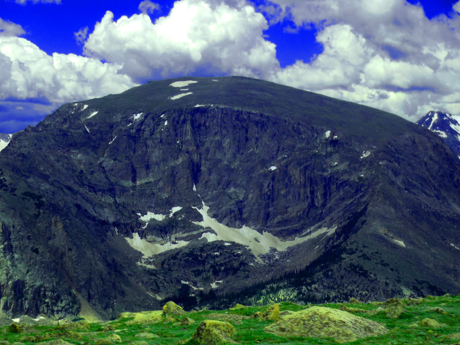
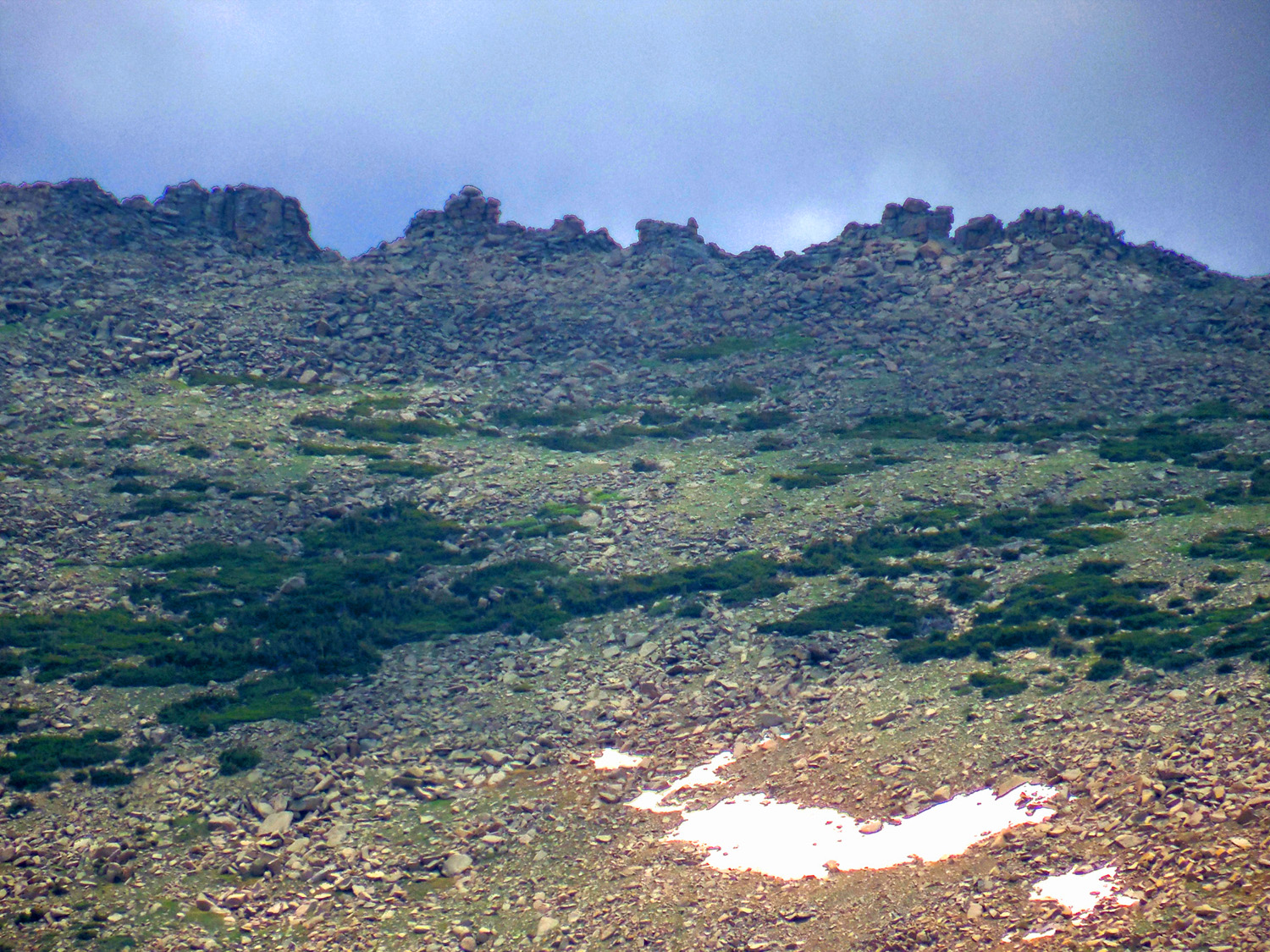
Timberline (~10,500' on north slopes, ~11,500' on south slopes)
Jul 01 2013 - 12:13 pm
Jul 01 2013 - 12:13 pm
23 / 32
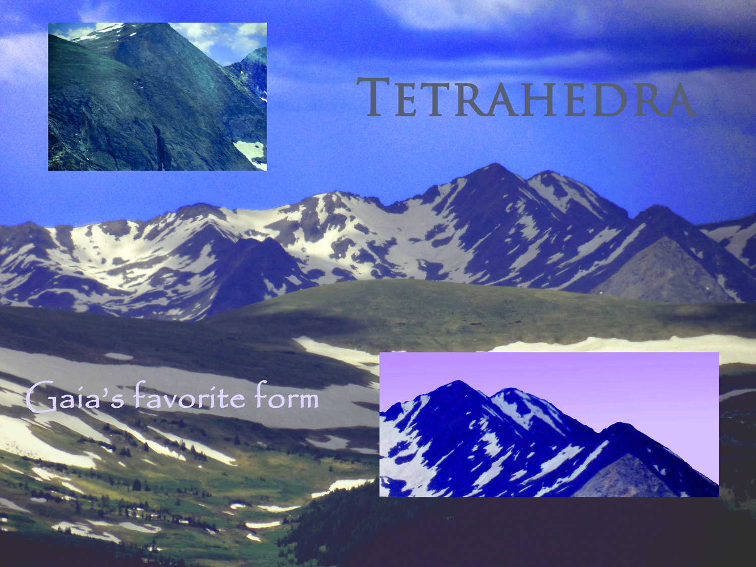
Tetrahedra
Jul 01 2013 - 12:16 pm
Jul 01 2013 - 12:16 pm
24 / 32
Telephoto of granite tetrahedron on Stones Peak
Jul 01 2013 - 12:18 pm
Jul 01 2013 - 12:18 pm
25 / 32
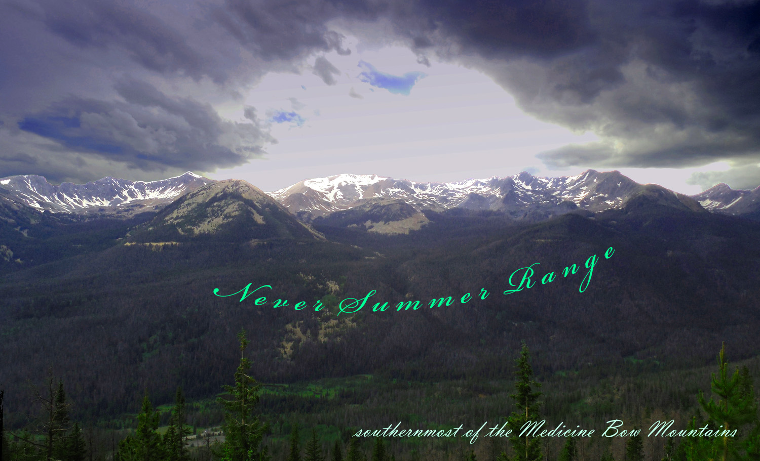
27 million year old volcano erupted on pre-mountain building surface (same as on glacially gouged Terra Tomah Mountain) in front of the newer Never Summers
Jul 01 2013 - 12:19 pm
Jul 01 2013 - 12:19 pm
26 / 32
Granite ridge along Trail Ridge Road
Jul 01 2013 - 12:47 pm
Jul 01 2013 - 12:47 pm
27 / 32
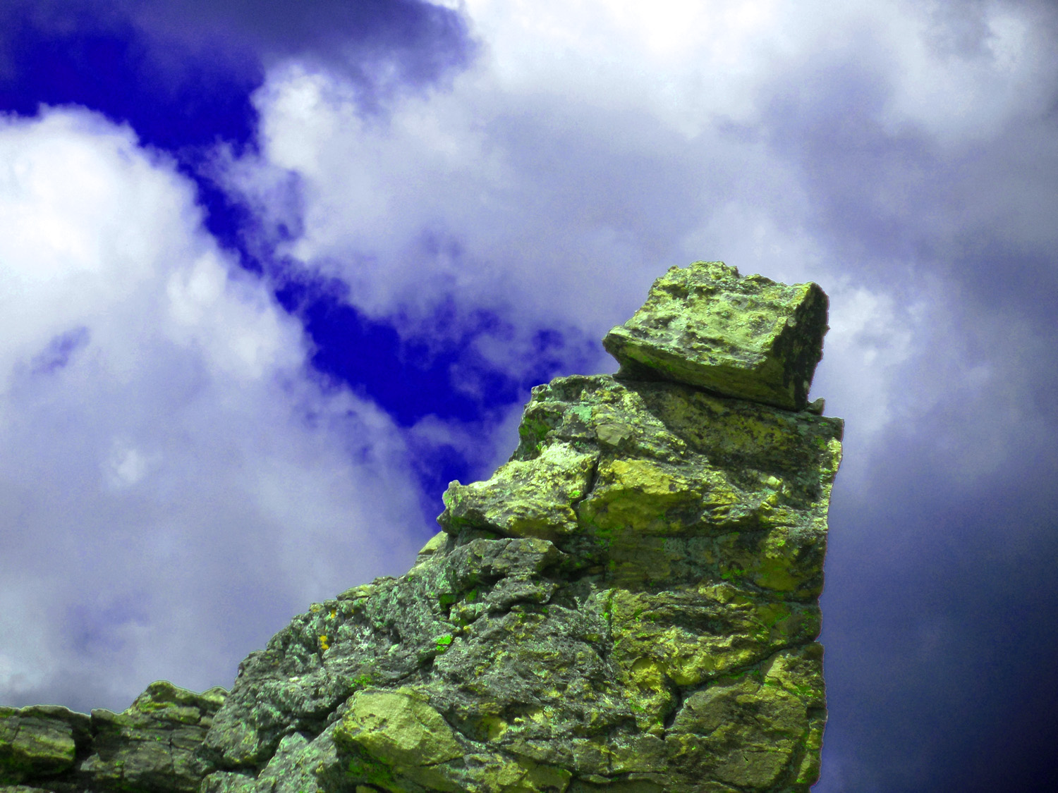
Lichen covered granite spire
Jul 01 2013 - 12:23 pm
Jul 01 2013 - 12:23 pm
28 / 32
Glacial U-Shaped valley
Jul 01 2013 - 12:42 pm
Jul 01 2013 - 12:42 pm
29 / 32
Estes Park
Jul 01 2013 - 2:31 pm
Jul 01 2013 - 2:31 pm
30 / 32

The Narrows - Big Thompson Canyon
Jul 01 2013 - 3:00 pm
Jul 01 2013 - 3:00 pm
31 / 32
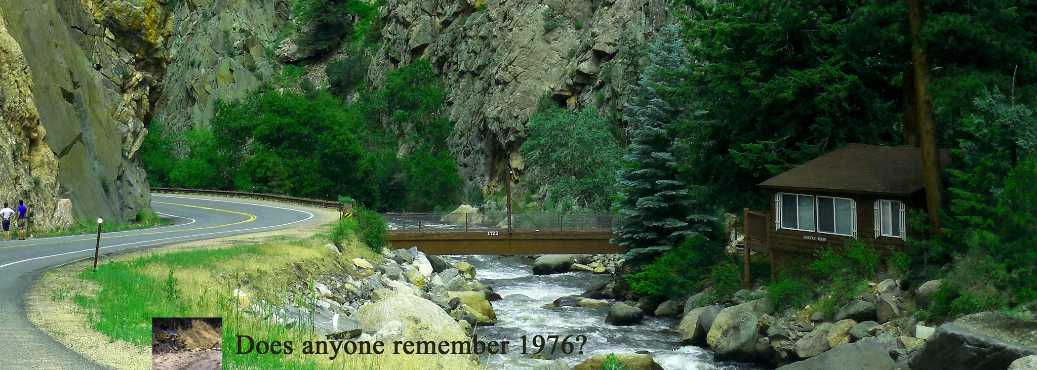
Question Was Asked August 2013 in September the Big Thompson flooded again
Jul 01 2013 - 3:01 pm
Jul 01 2013 - 3:01 pm
32 / 32
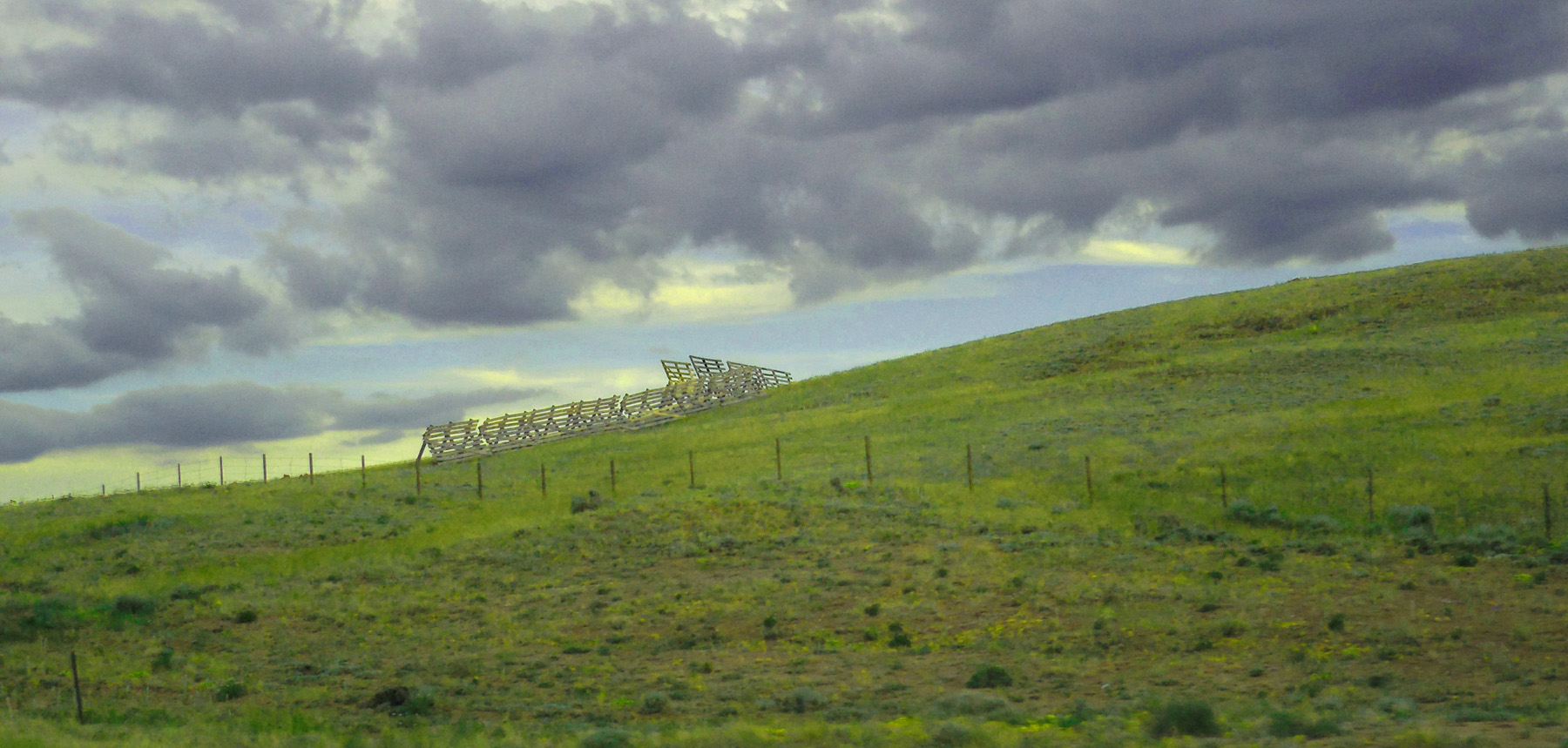
Great Plains here to Chicago
east end of US 34
east end of US 34