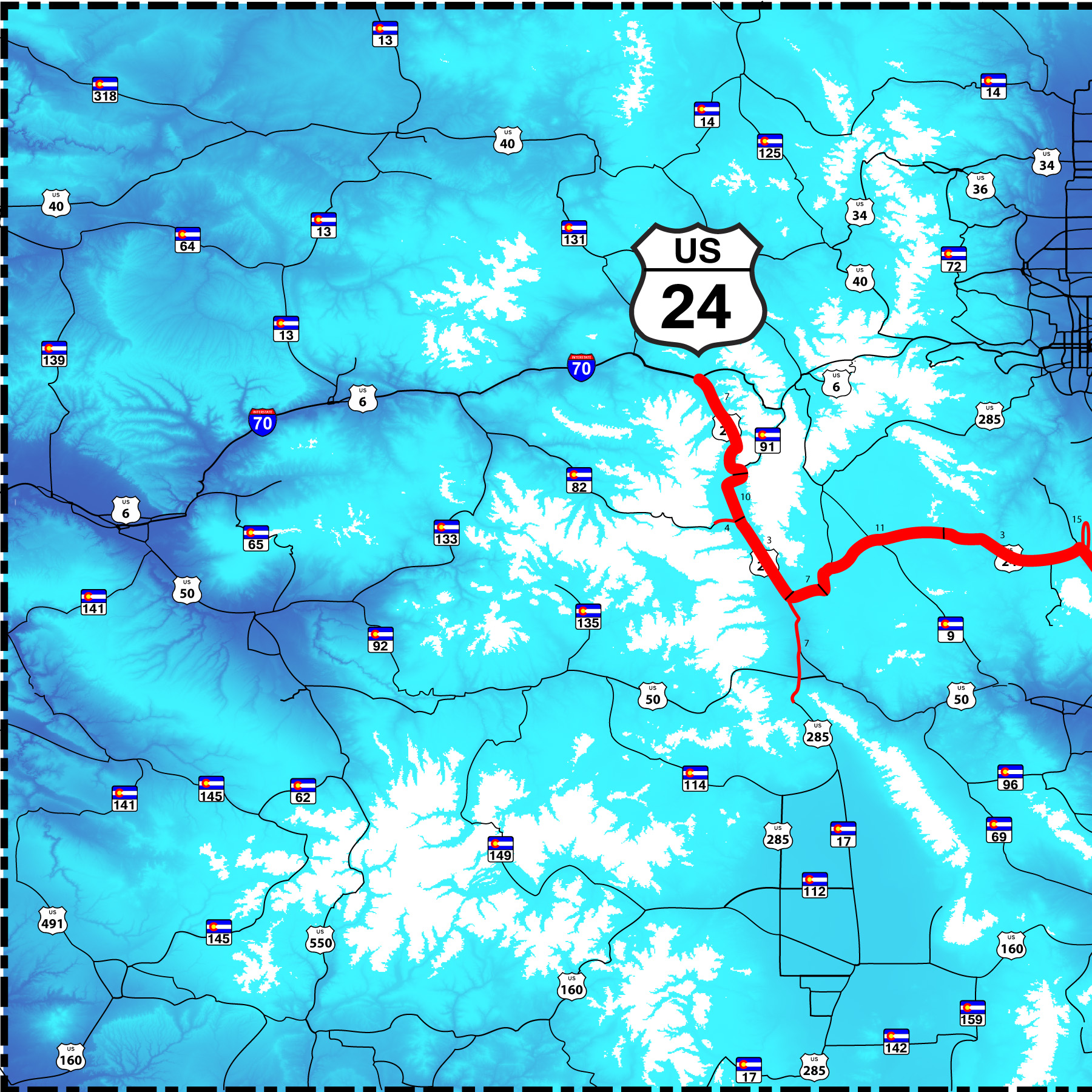
75 slides:
I 25 in Colorado Springs to I 70 in the Rocky Mountains
Road Index or use your browser "back" arrow or function 30 second cycle: please choose another user-controlled 2 seconds 5 seconds 10 seconds 1 minute
1 / 75
2 / 75

Slides start at I 25 in Colorado Springs
at Garden of the Gods
at Garden of the Gods
3 / 75

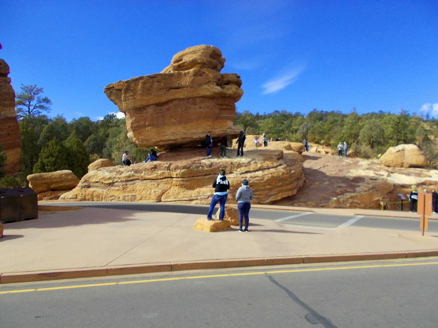
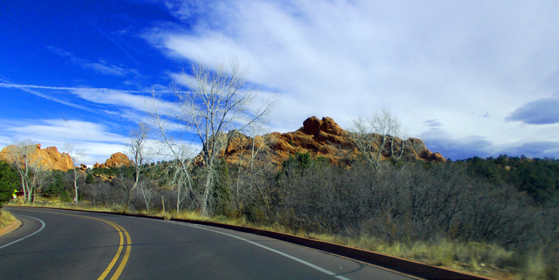
First a loop through Garden of the Gods
4 / 75
Saturday: lots of people on a clear, Indian Summer weekend
Nov 13 2021 - 12:44 pm
Nov 13 2021 - 12:44 pm
5 / 75
Entry to Garden of the Gods
Nov 13 2021 - 12:48 pm
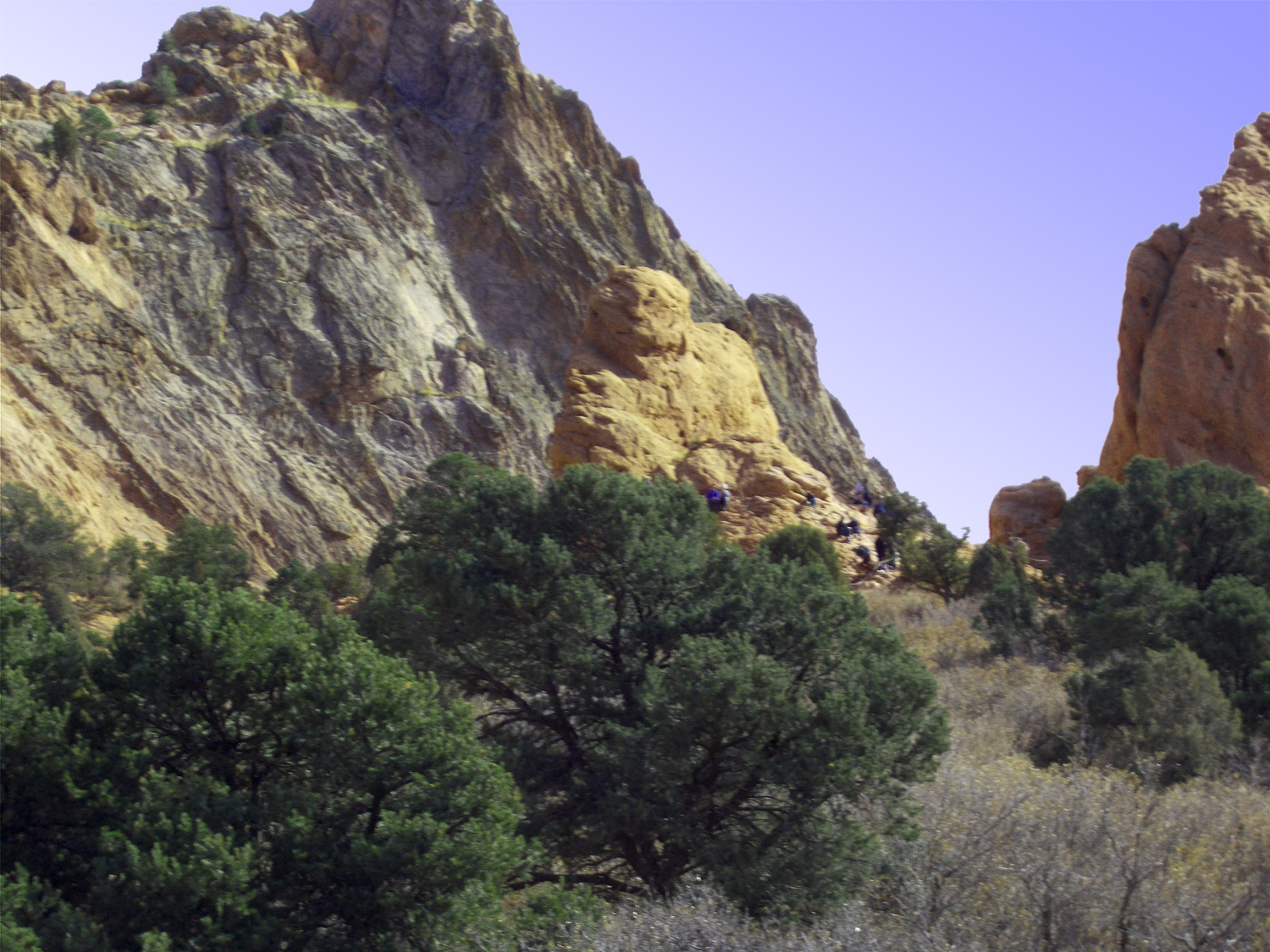
Nov 13 2021 - 12:48 pm
6 / 75
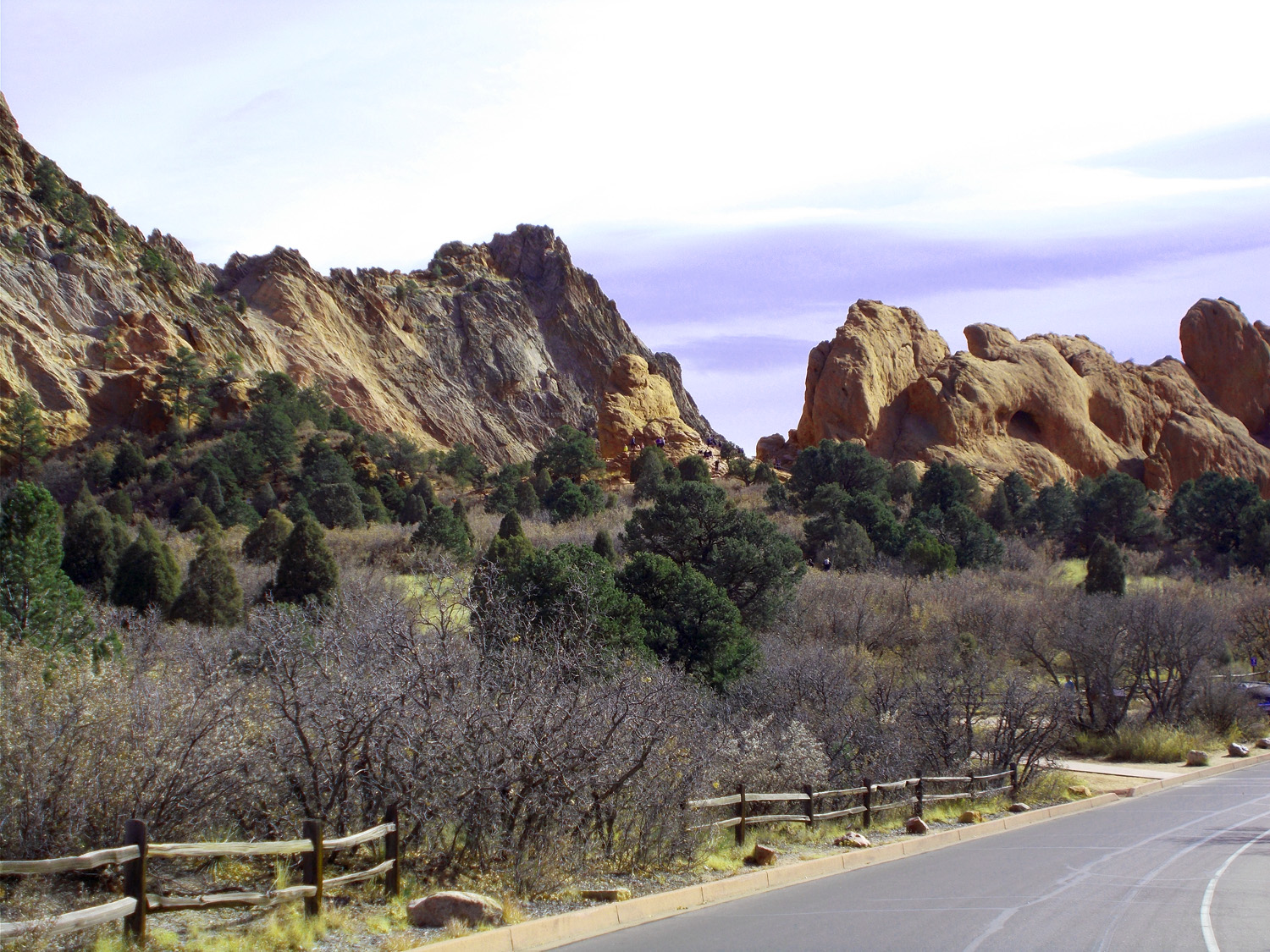
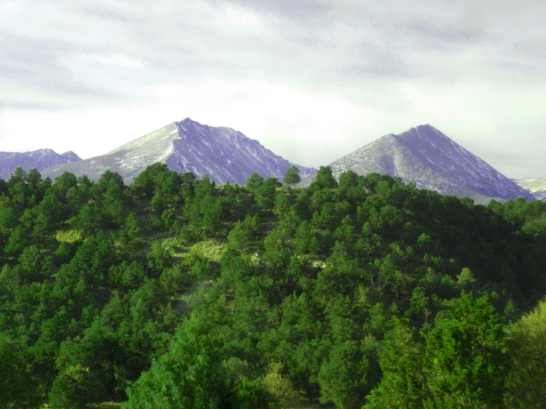
Triassic sandstones tilted by the Rocky Mountain uplift
Nov 13 2021 - 12:49 pm
Nov 13 2021 - 12:49 pm
7 / 75
Wild turkeys and people watching wild turkeys
Nov 13 2021 - 12:50 pm
Nov 13 2021 - 12:50 pm
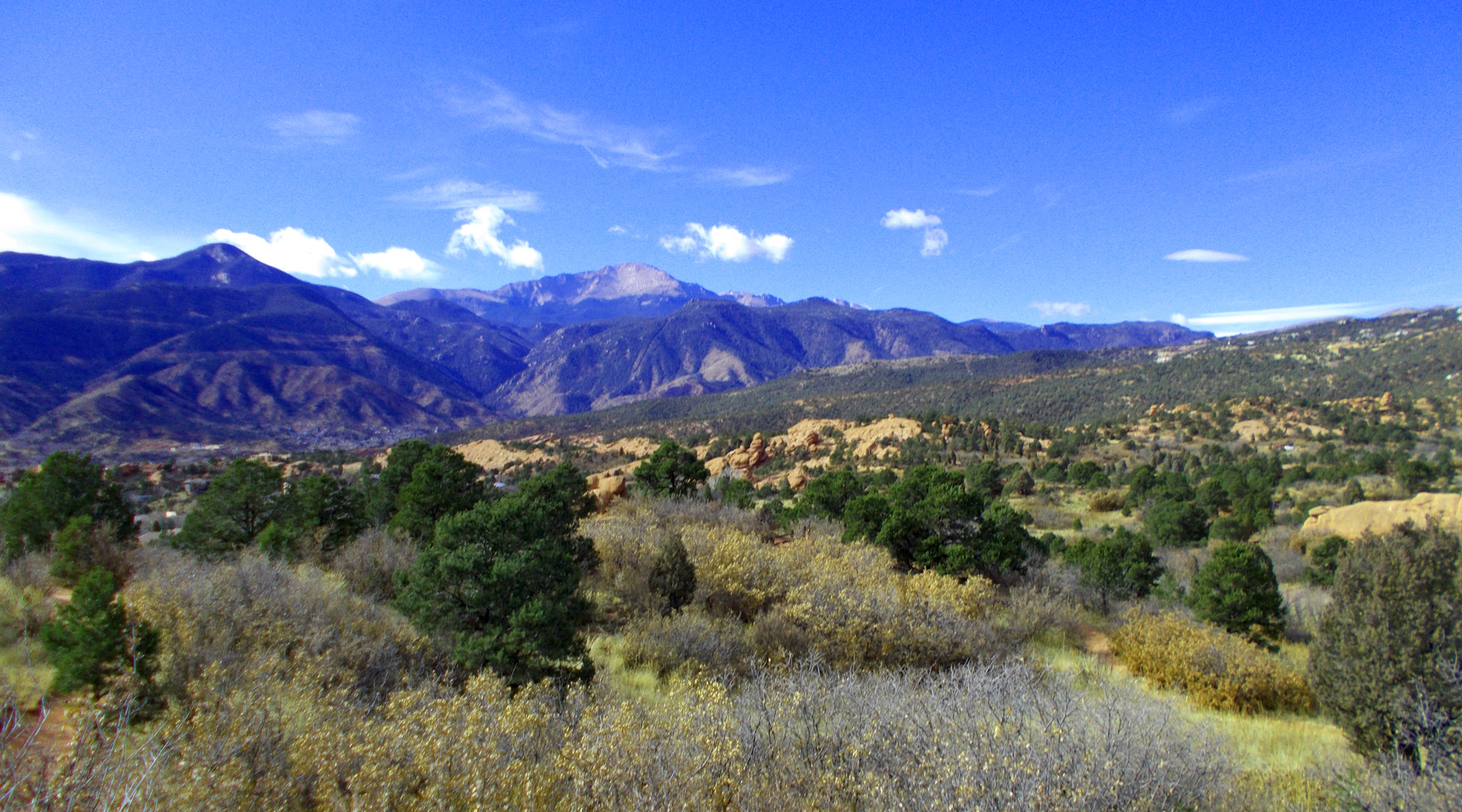
8 / 75
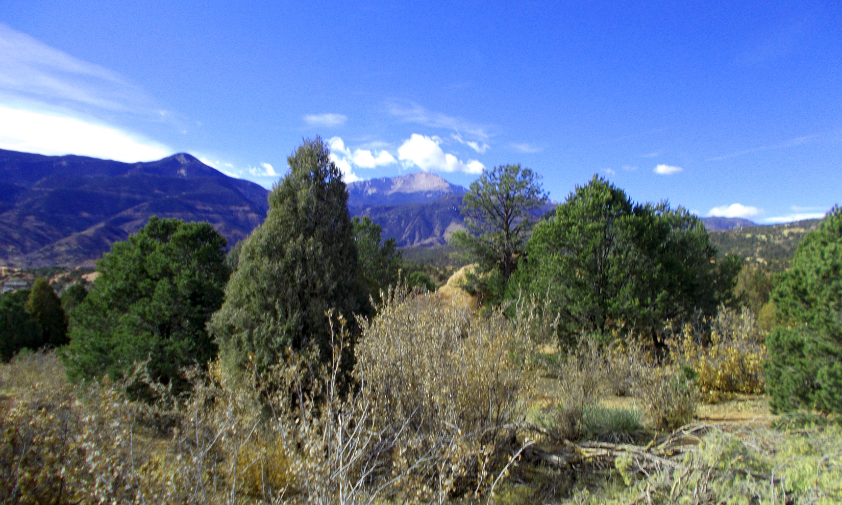
Pikes Peak (14,115') from Garden of the Gods
Nov 13 2021 - 12:52 pm
Nov 13 2021 - 12:52 pm
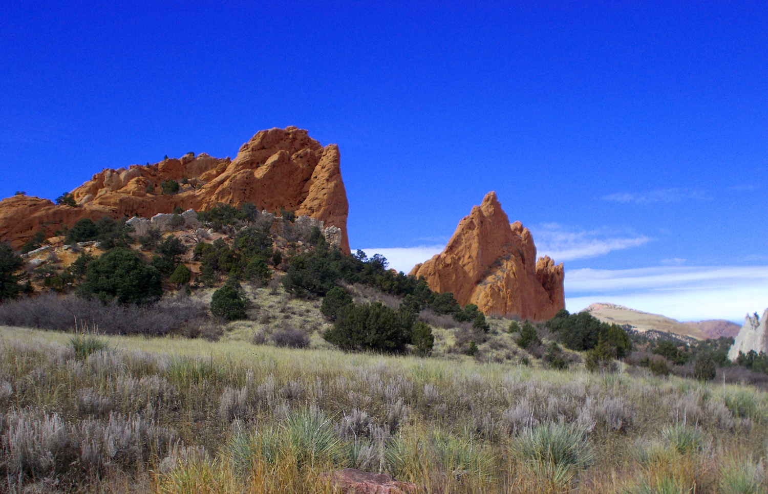
9 / 75
Garden of the Gods
Nov 13 2021 - 12:54 pm
Nov 13 2021 - 12:54 pm
10 / 75
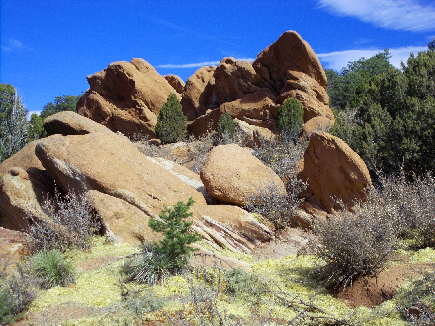
Boulders
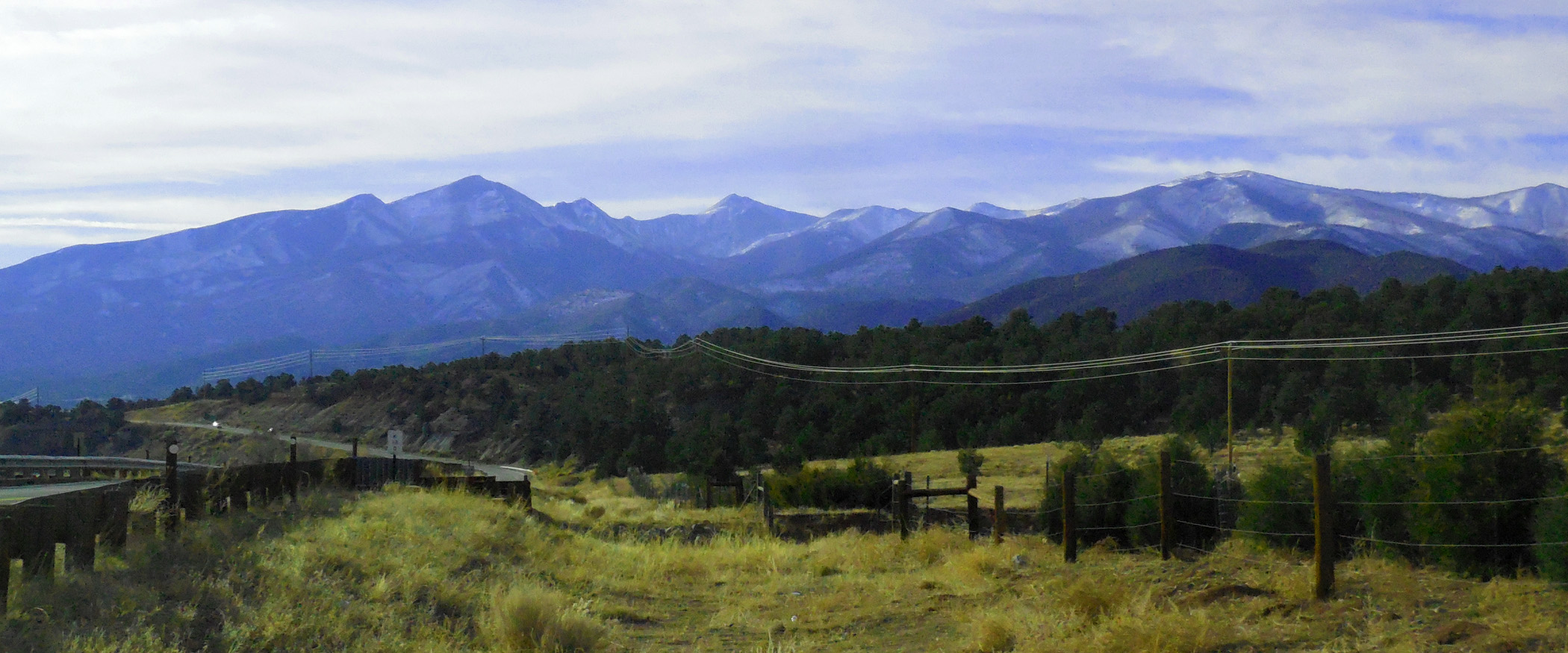
Nov 13 2021 - 12:54 pm
Nov 13 2021 - 12:54 pm
11 / 75
Loop road
Nov 13 2021 - 12:54 pm
Nov 13 2021 - 12:54 pm
12 / 75
Another view of Pikes Peak
Nov 13 2021 - 12:56 pm
Nov 13 2021 - 12:56 pm
13 / 75
Hand of a god
Nov 13 2021 - 12:56 pm
Nov 13 2021 - 12:56 pm
14 / 75
Perhaps giving the finger to the world
Nov 13 2021 - 12:56 pm
Nov 13 2021 - 12:56 pm
15 / 75
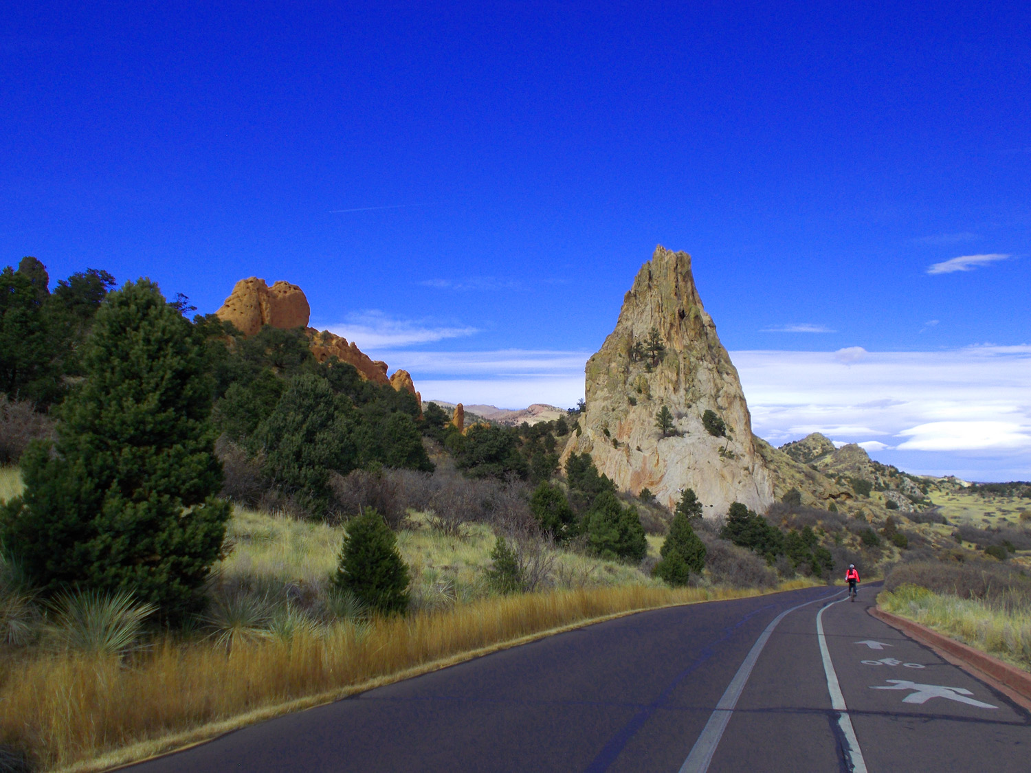
Bicyclist
Nov 13 2021 - 1:03 pm
Nov 13 2021 - 1:03 pm
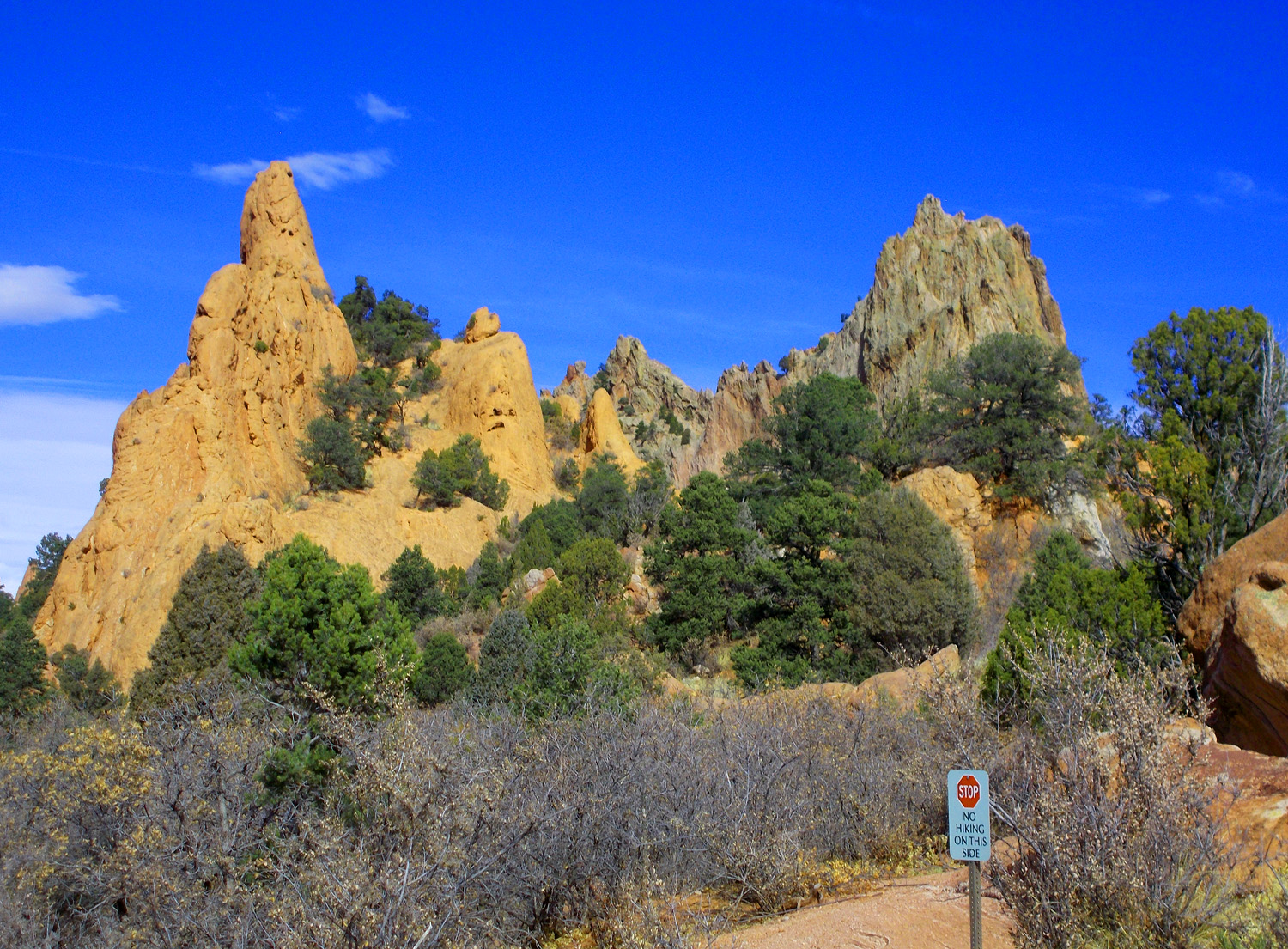
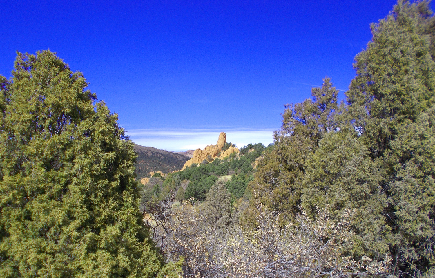
16 / 75
Hogback buttes
Nov 13 2021 - 1:04 pm
Nov 13 2021 - 1:04 pm
17 / 75
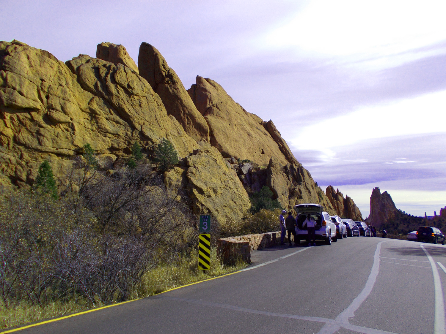
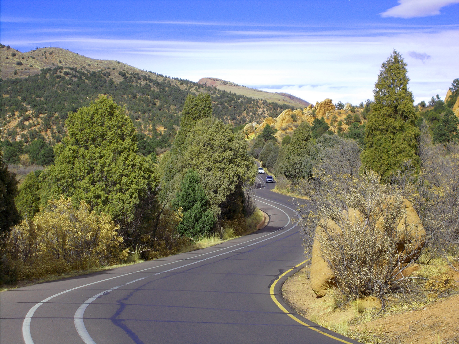
Crowded road
Nov 13 2021 - 1:08 pm
Nov 13 2021 - 1:08 pm
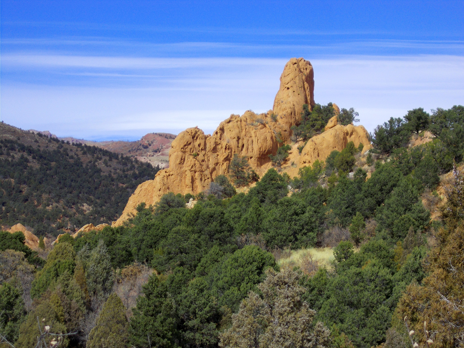
18 / 75
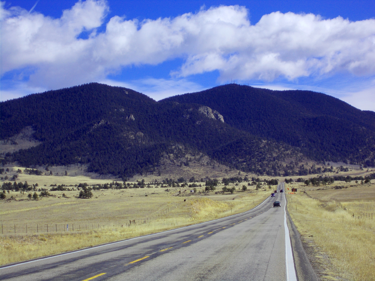
Mesozoic sandstone hogback buttes
Nov 13 2021 - 1:10 pm
Nov 13 2021 - 1:10 pm
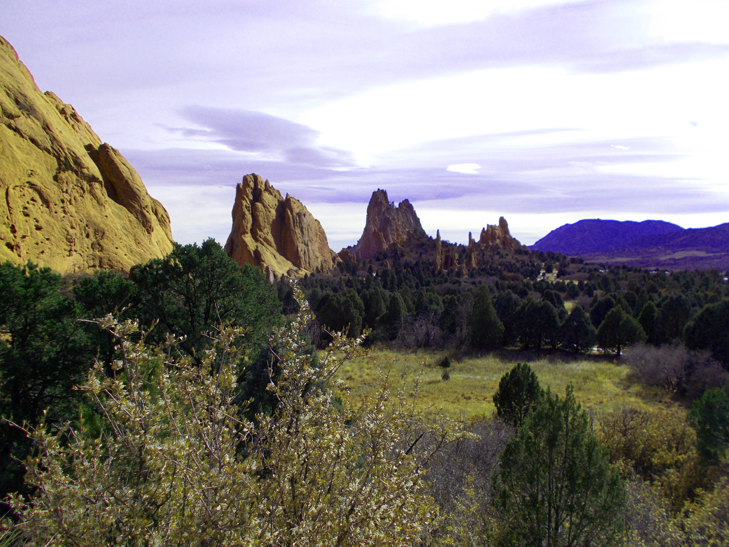
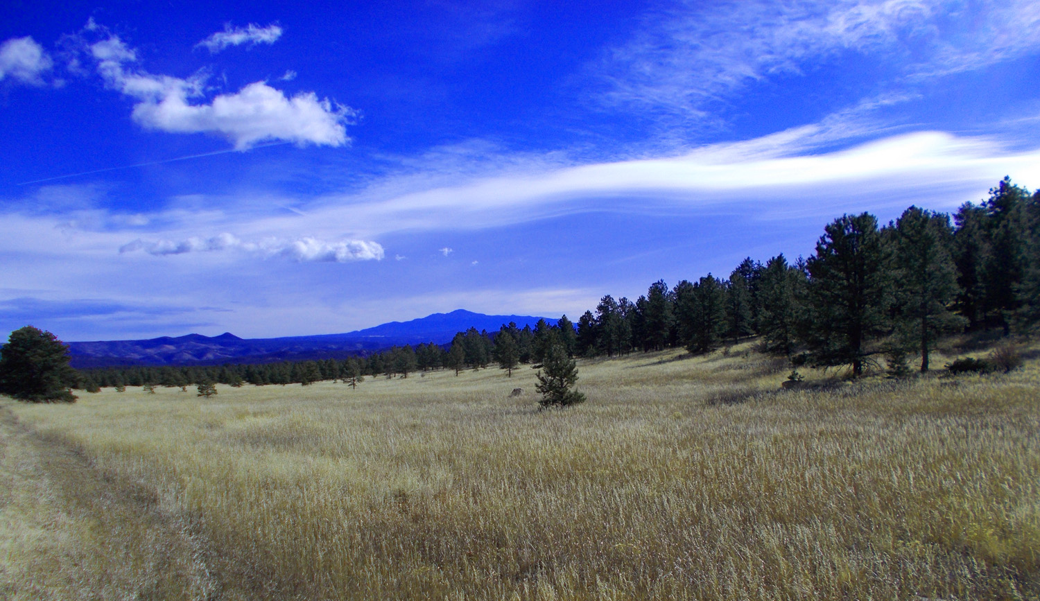
19 / 75

West from Garden of the Gods
20 / 75
Pikes Peak dominates the Front Range skyline east of Wilkerson Pass
Nov 13 2021 - 11:50 am
Nov 13 2021 - 11:50 am
21 / 75
Telephoto
Nov 13 2021 - 11:50 am
Nov 13 2021 - 11:50 am
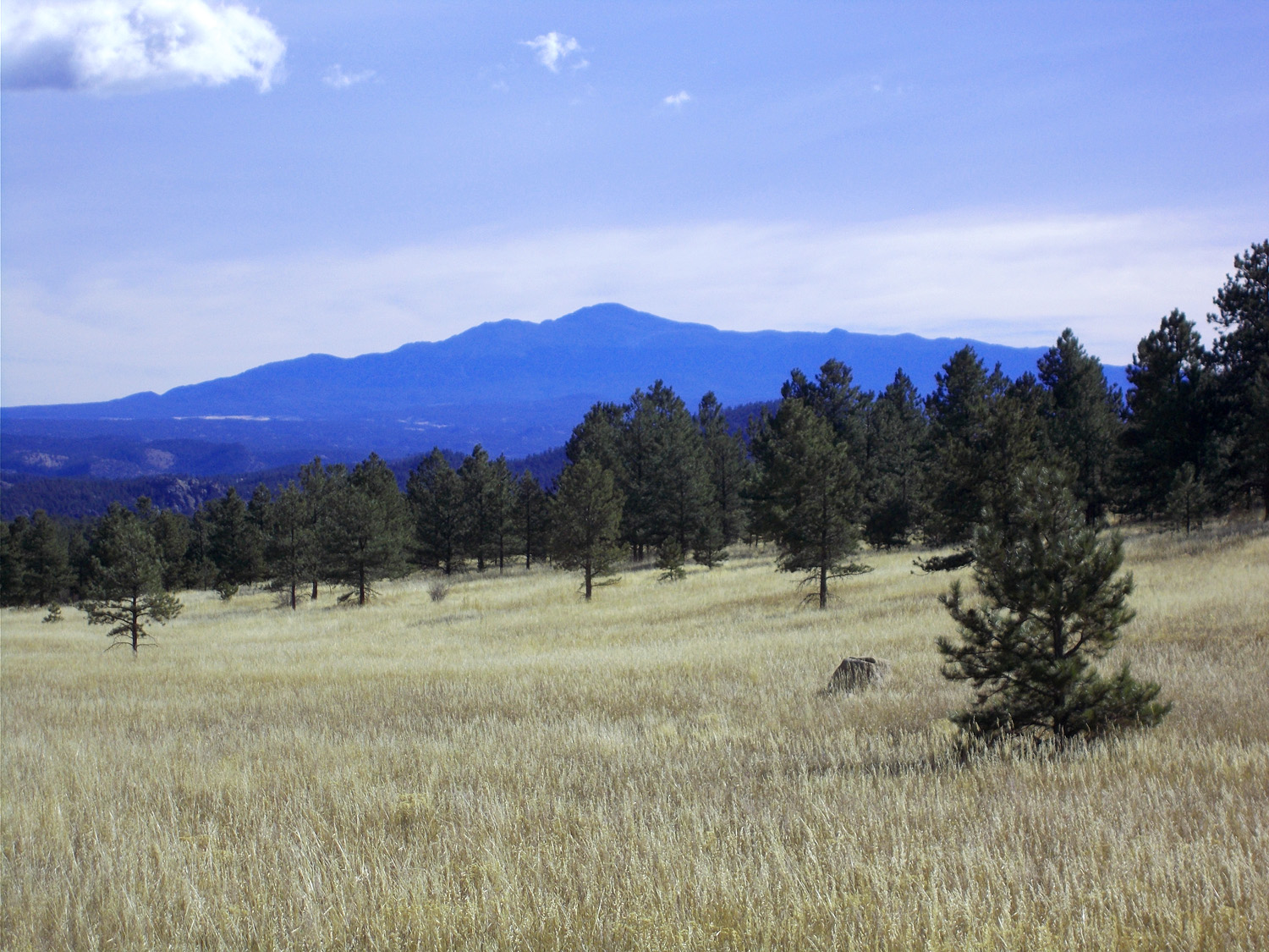
22 / 75
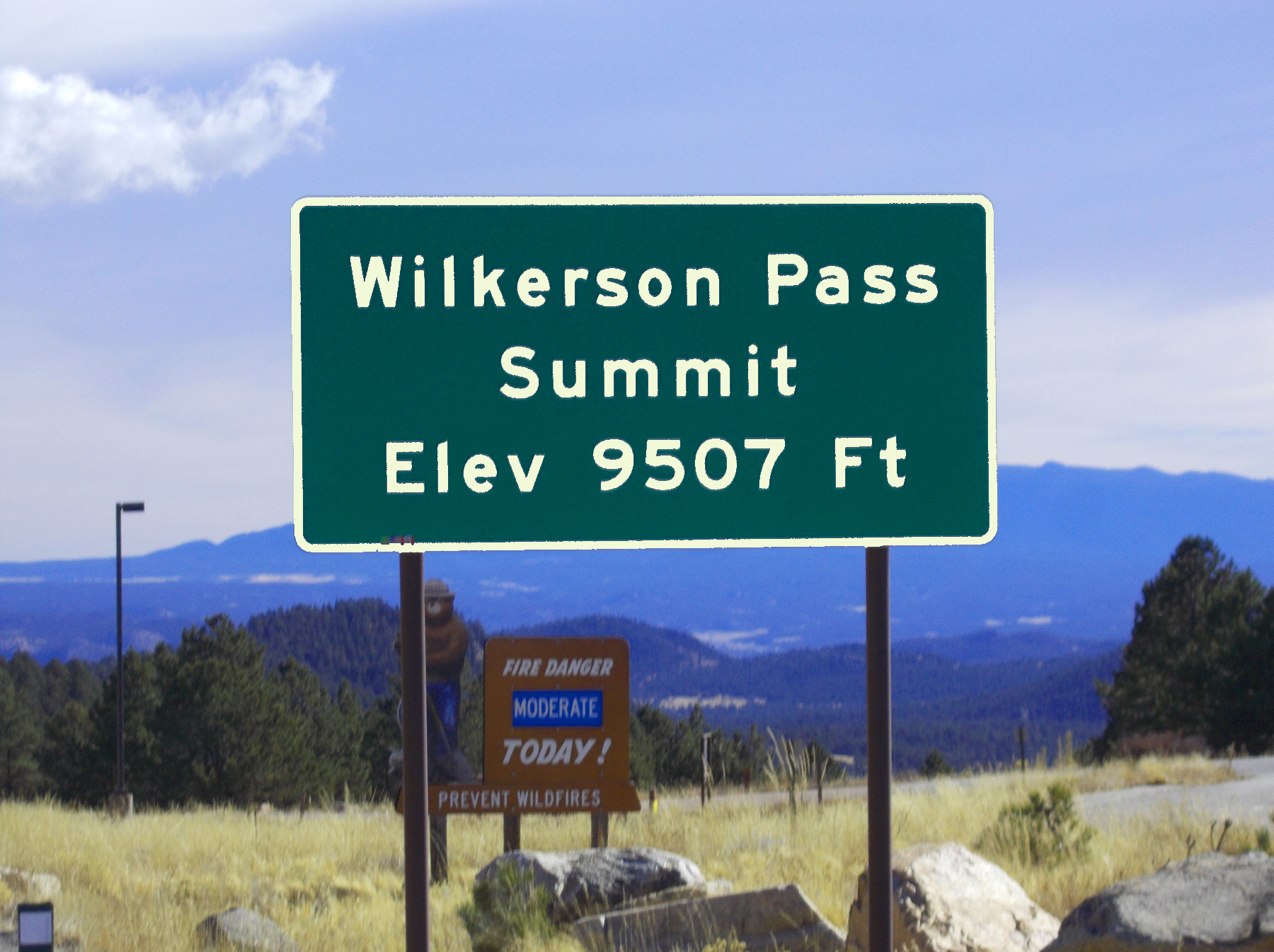
Wilkerson Pass over the Front Range
Nov 13 2021 - 11:46 am
Nov 13 2021 - 11:46 am
23 / 75
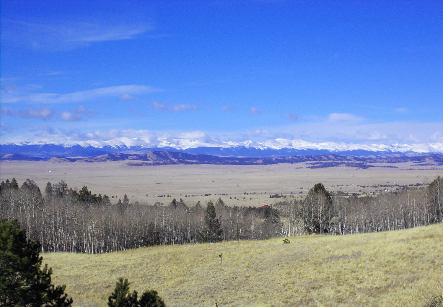
The west side of the pass, Mosquito and Ten Mile Ranges over South Park
Nov 13 2021 - 11:45 am
Nov 13 2021 - 11:45 am
24 / 75
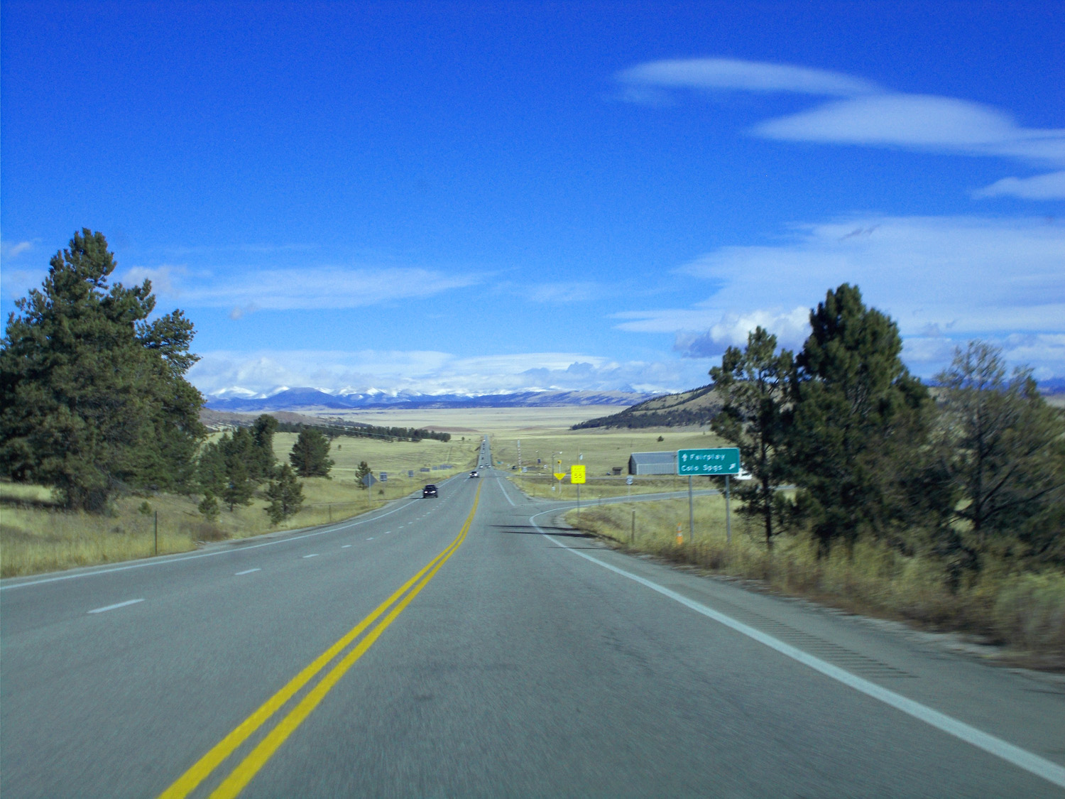
US 24 looking east at the Front Range
Nov 13 2021 - 11:38 am
Nov 13 2021 - 11:38 am
25 / 75
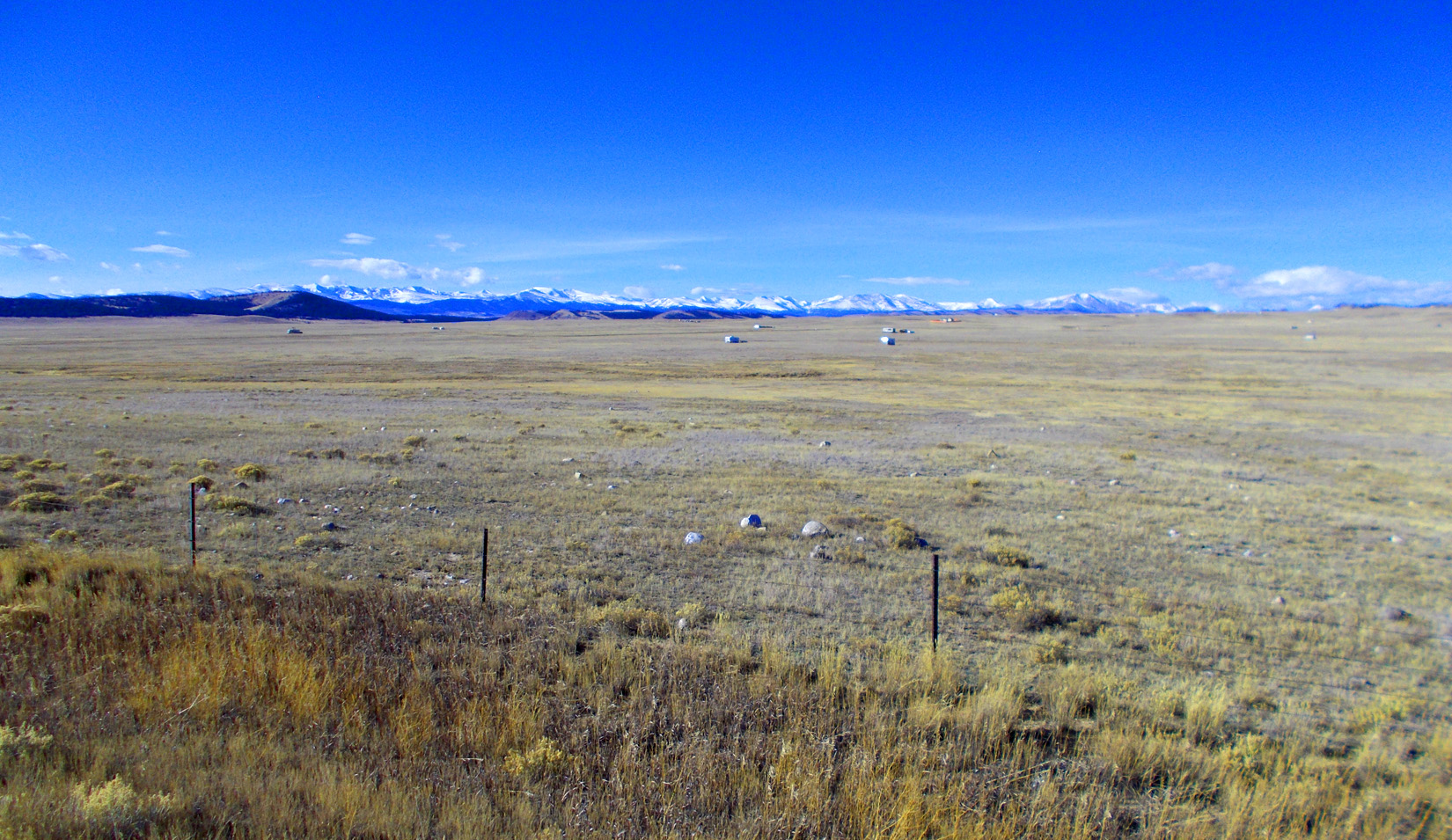
South Park
Feb 28 2020 - 3:09 pm
Feb 28 2020 - 3:09 pm
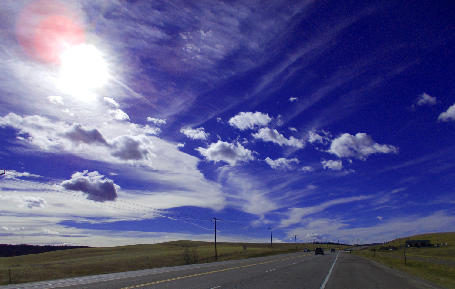
26 / 75
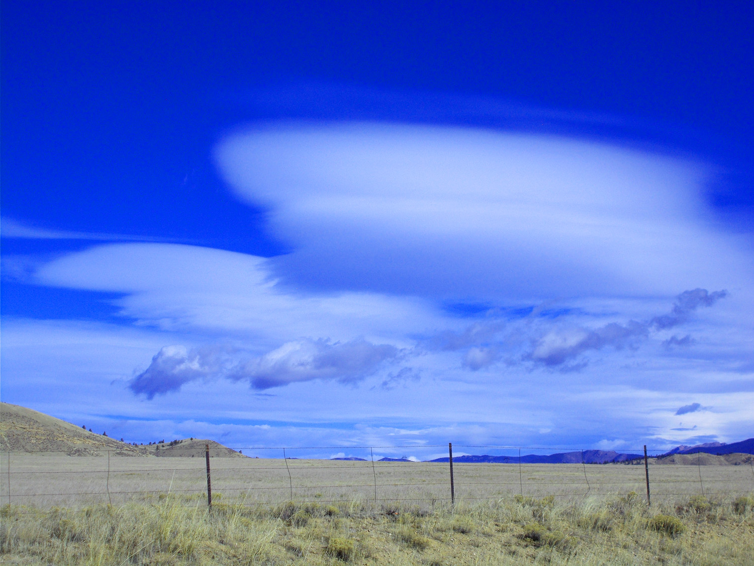
Pancake cirrus clouds over South Park
Nov 13 2021 - 1:10 pm
Nov 13 2021 - 1:10 pm
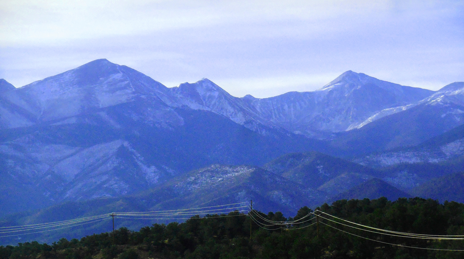
27 / 75
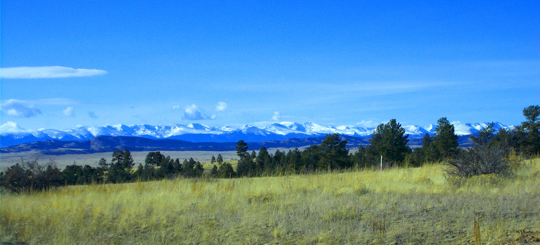
The whole Mosquito Range
Nov 13 2021 - 2:59 pm
Nov 13 2021 - 2:59 pm
28 / 75
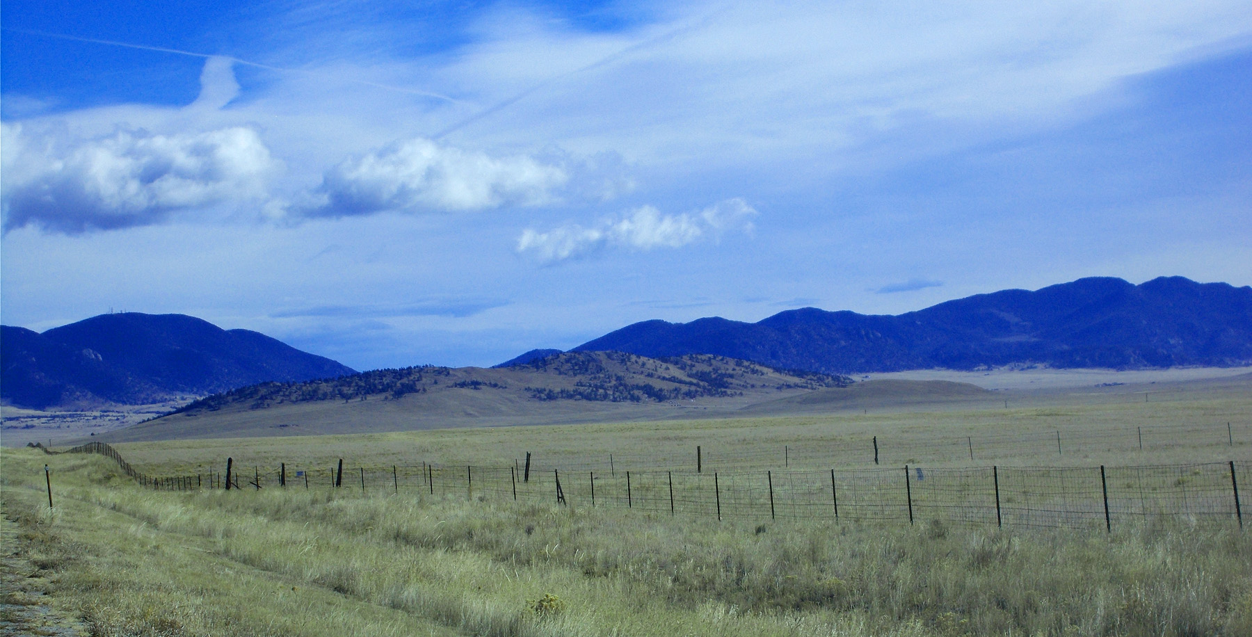
Mesozoic hogbacks tilted by the Front Range uplift in background
Nov 13 2021 - 11:28 am
Nov 13 2021 - 11:28 am
29 / 75
Intersection of US 285 (straight) and US 24 (right)
Nov 13 2021 - 10:48 am
Nov 13 2021 - 10:48 am
30 / 75
Mt. Sherman (14,043')
Nov 13 2021 - 10:50 am
Nov 13 2021 - 10:50 am
31 / 75
Mt. Sherman three weeks earlier
Nov 06 2020 - 11:51 am
Nov 06 2020 - 11:51 am
32 / 75
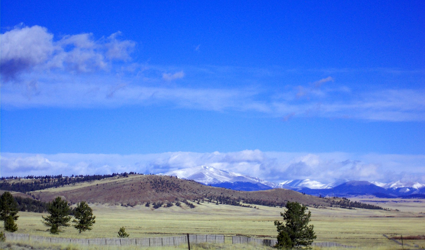
Mesozoic hogbacks (foreground and middleground) in South Park tilted toward the Mosquito Range uplift (background)
Nov 13 2021 - 2:48 pm
Nov 13 2021 - 2:48 pm
33 / 75
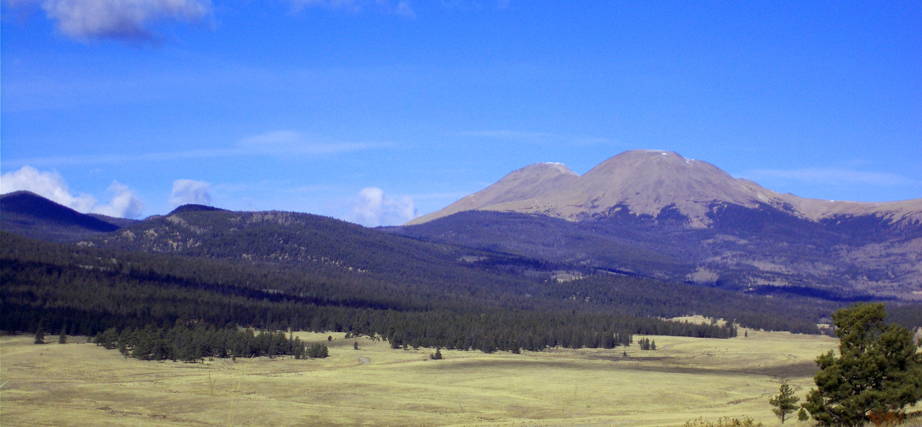
West Buffalo Peak (13,326') and East Buffalo Peak (13,300')
Nov 13 2021 - 10:44 am
Nov 13 2021 - 10:44 am
34 / 75
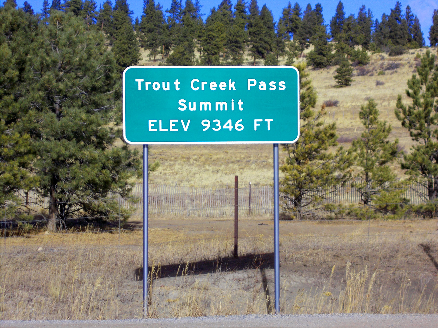
Trout Creek Pass
Nov 13 2021 - 10:47 am
Nov 13 2021 - 10:47 am
35 / 75
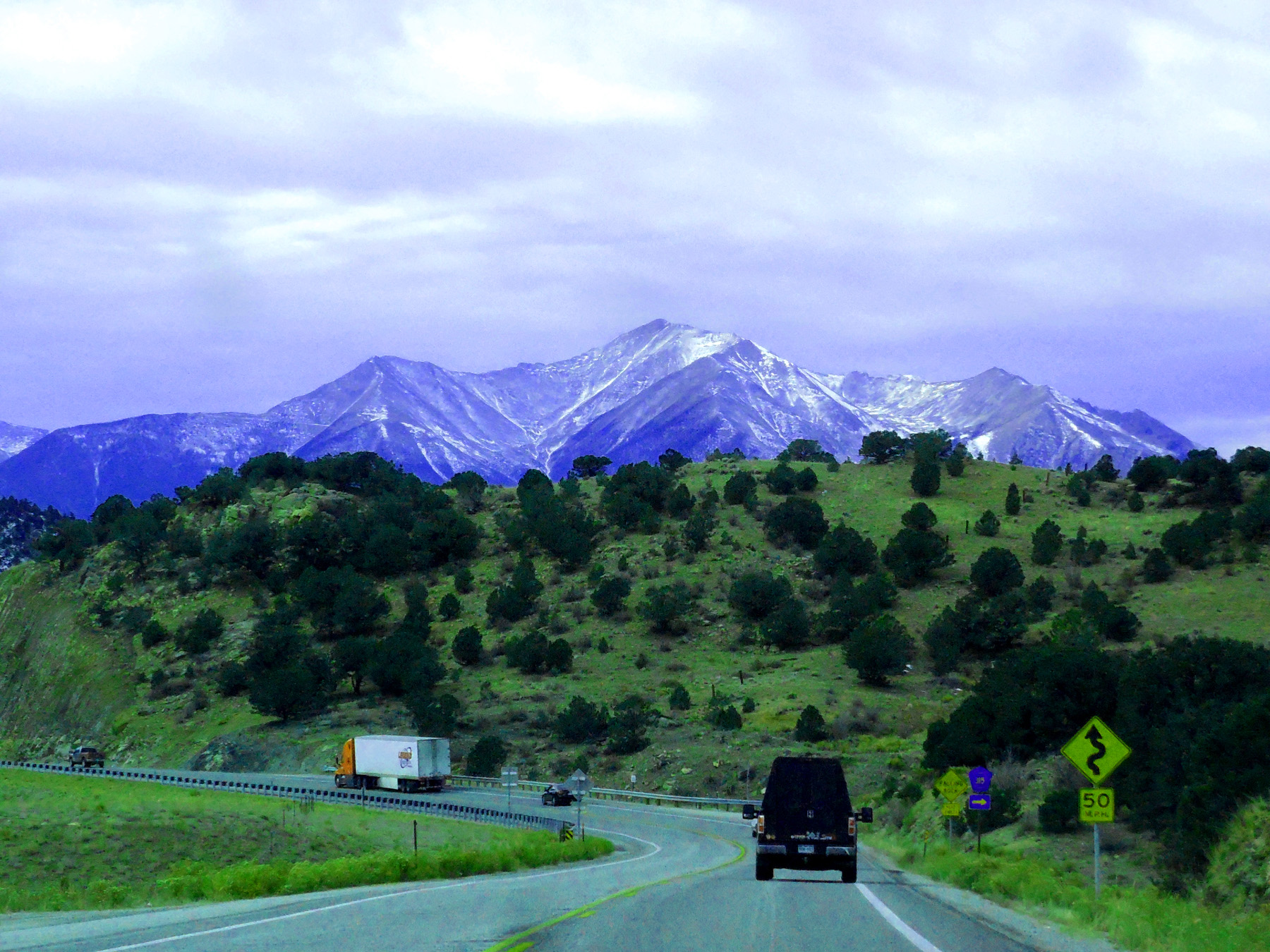
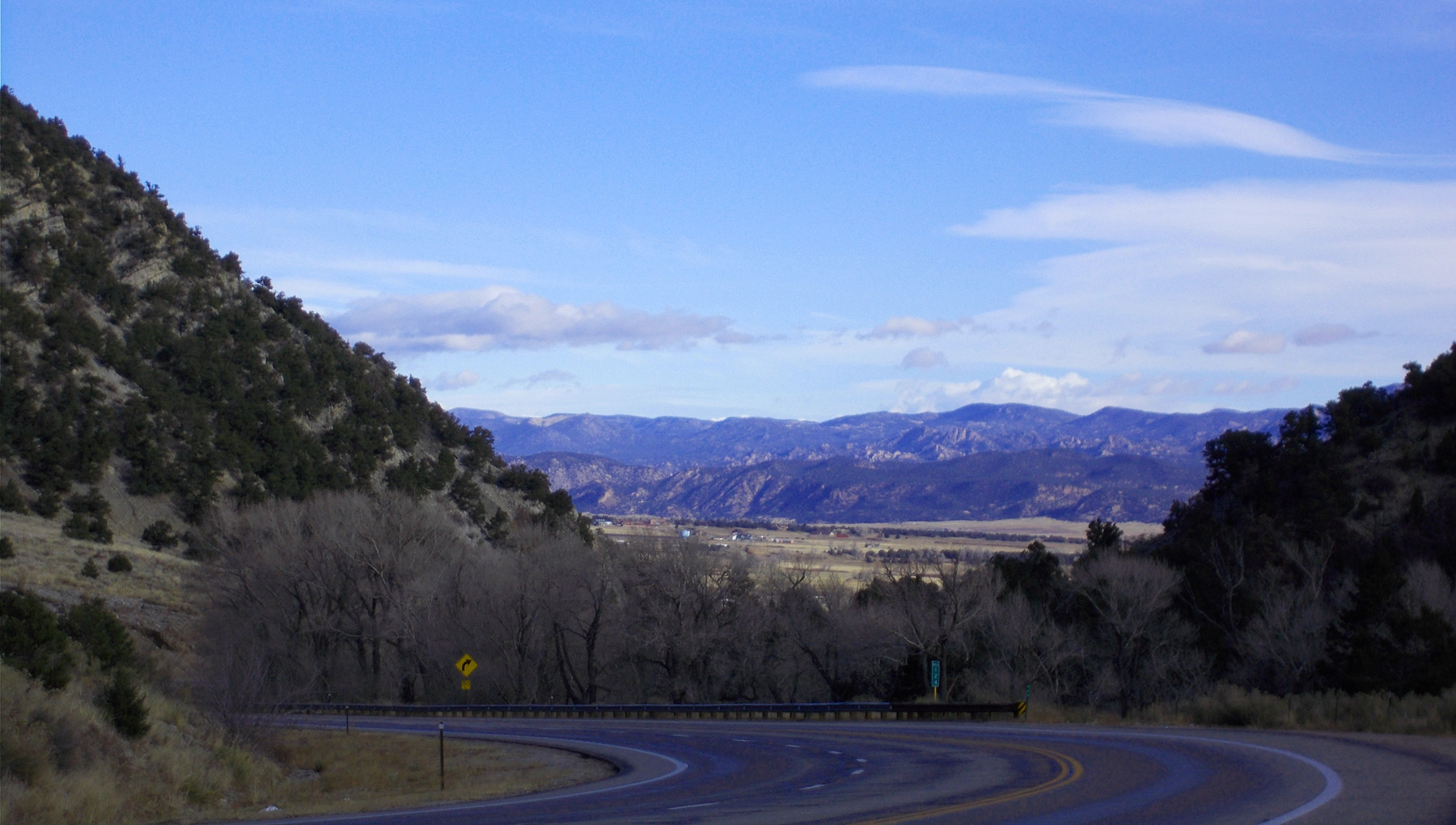
Steep road into the Upper Arkansas River Valley
Nov 06 2020 - 12:15 pm
Nov 06 2020 - 12:15 pm
36 / 75
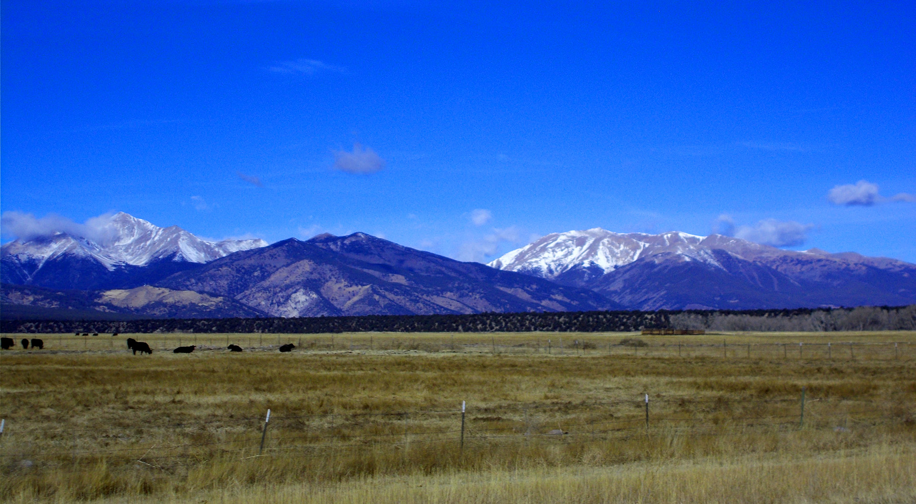
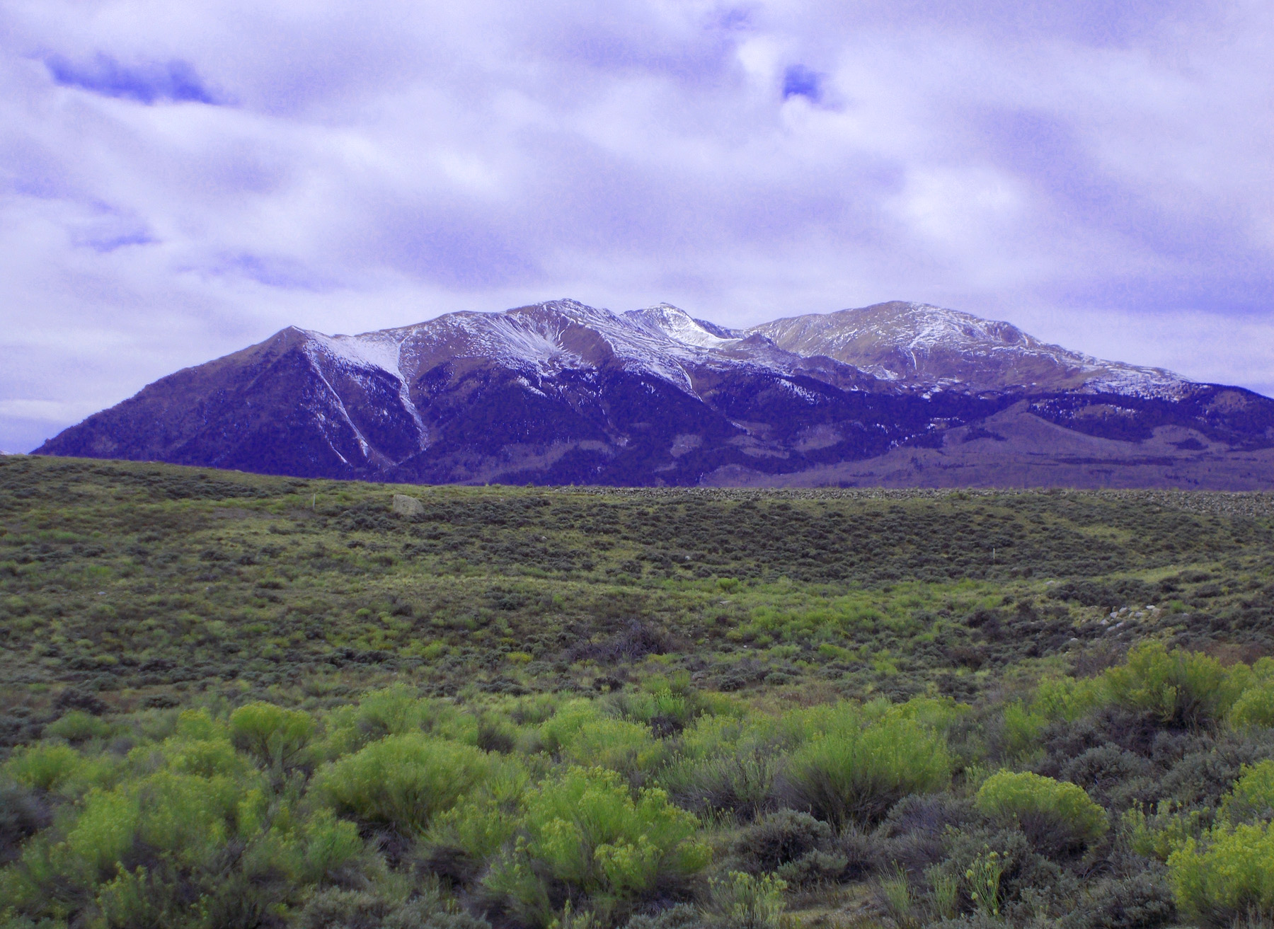
Sawatch Range between Salida and Poncha Springs (terraces are flat surfaces along South Fork Arkansas River that the road is built on and the midground)
Nov 13 2021 - 10:11 am
Nov 13 2021 - 10:11 am
37 / 75
Mt. Antero (14,276')
Nov 13 2021 - 10:14 am
Nov 13 2021 - 10:14 am
38 / 75
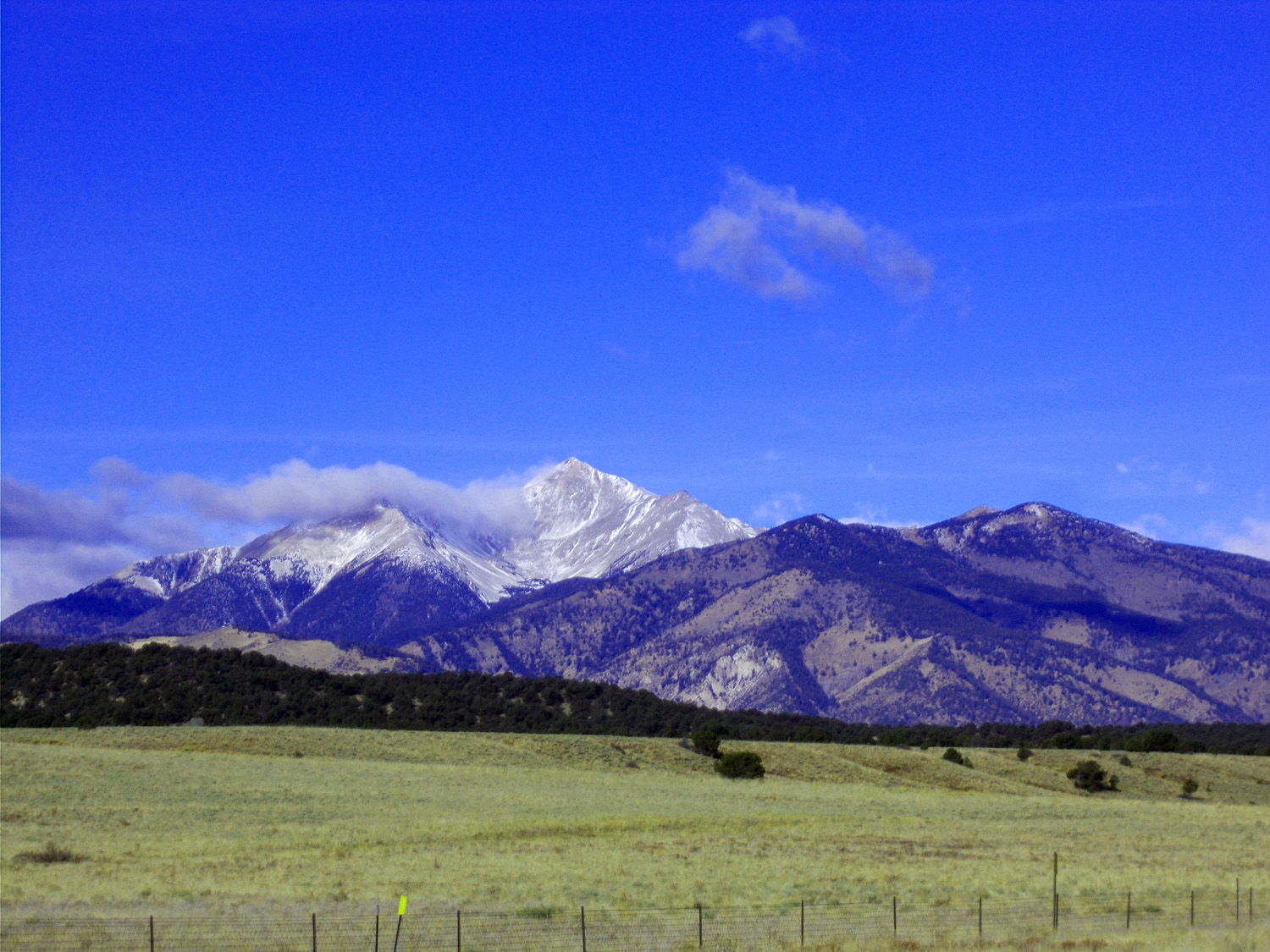
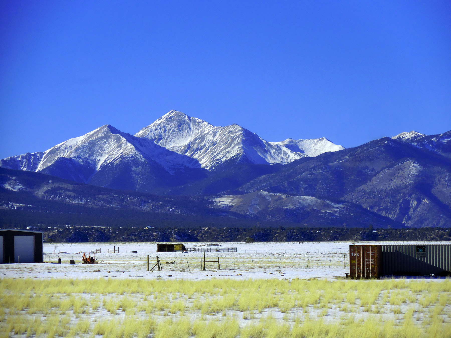
Mt. Princeton (14,196')
Nov 13 2021 - 10:33 am
Nov 13 2021 - 10:33 am
39 / 75
Sawatch Range
Nov 13 2021 - 10:33 am
Nov 13 2021 - 10:33 am
40 / 75
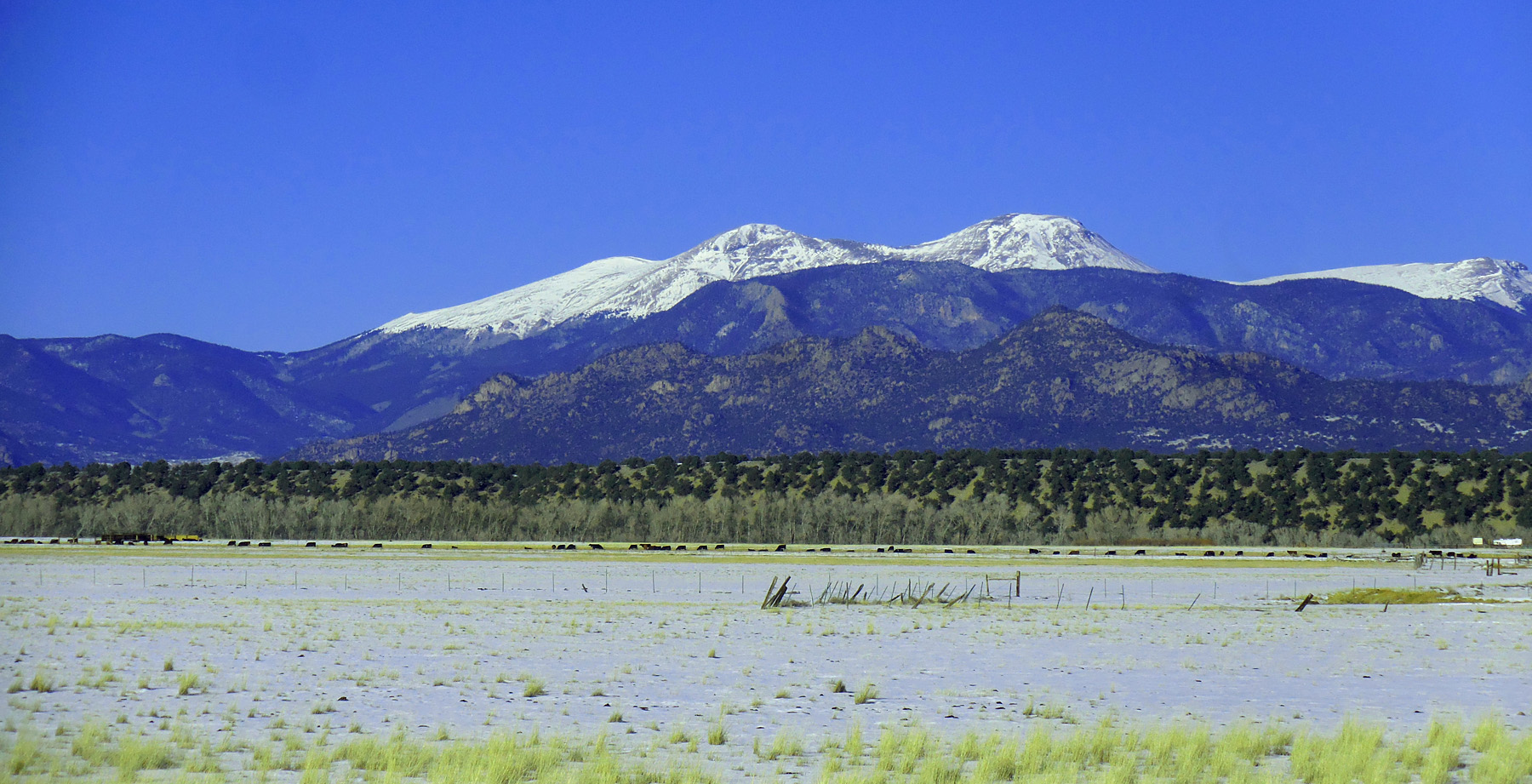
Chalk Cliffs on Mt. Princeton
Nov 13 2021 - 10:11 am
Nov 13 2021 - 10:11 am
41 / 75

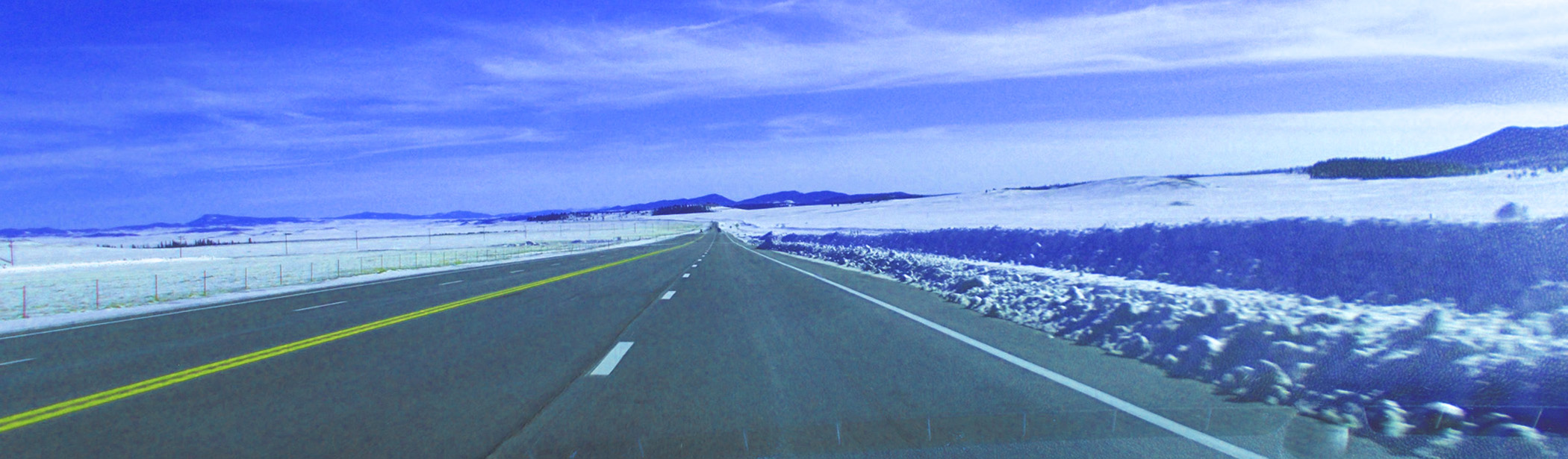
South on US 285 to Poncha Pass
42 / 75
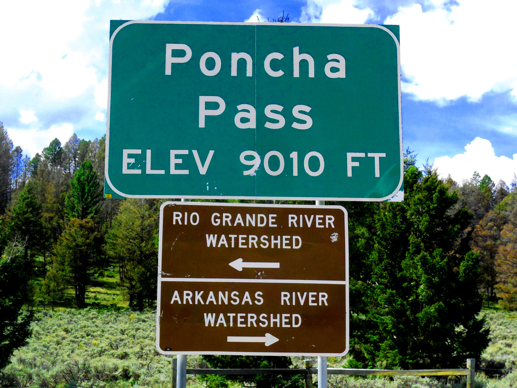
Relatively low divide between major rivers (turn around at Poncha Pass)
Sep 11 2017 - 11:48 am
Sep 11 2017 - 11:48 am
43 / 75
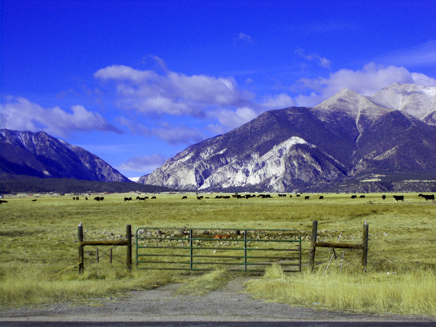
Upper Arkansas River Valley
Nov 13 2021 - 9:50 am
Nov 13 2021 - 9:50 am
44 / 75
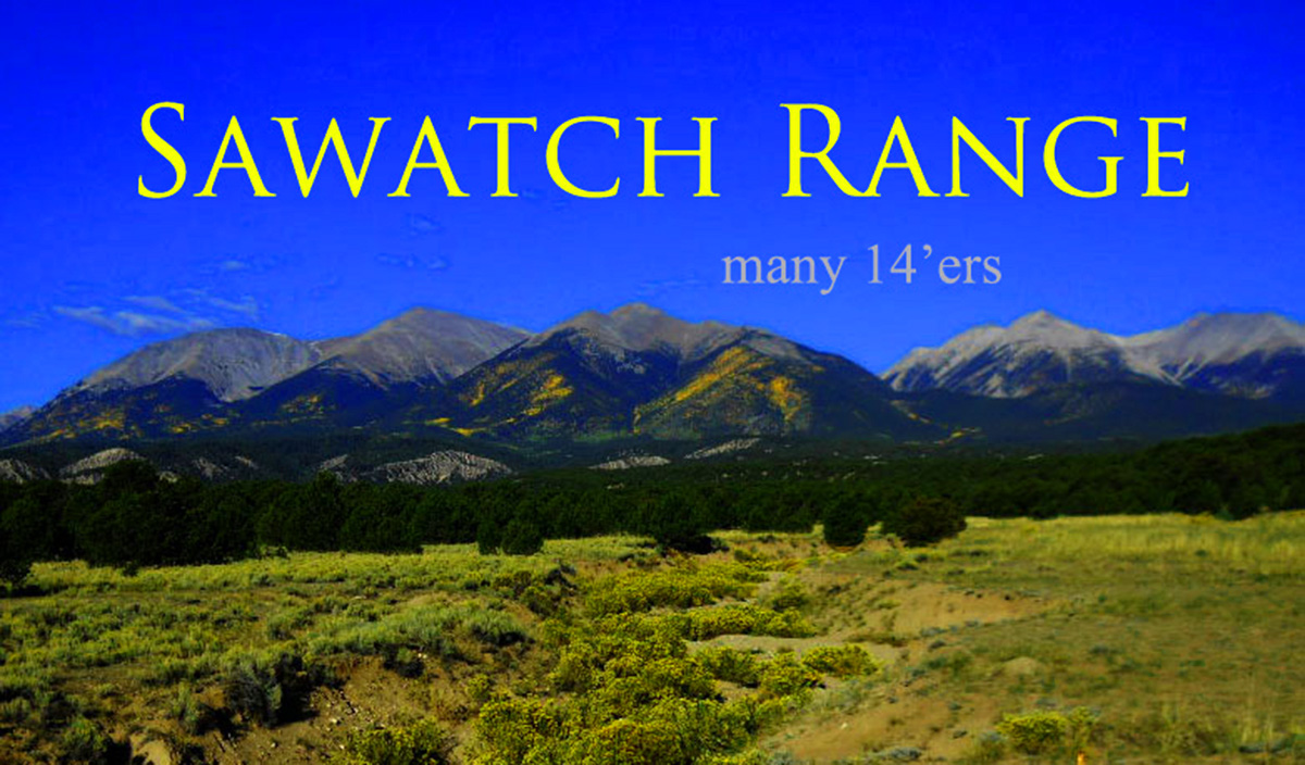
Fifteen, more than any other range (the crest of the Rockies in both the US and Canada)
Sep 09 2011 - 9:29 am
Sep 09 2011 - 9:29 am
45 / 75
Mt. Ouray (13,971') (transition between Sangre de Cristo Range to the south and the Sawatch Range to the north)
Nov 06 2020 - 9:24 am
Nov 06 2020 - 9:24 am
46 / 75
Pahlone Peak (12,662') and unnamed neighbor (11,892') are tetrahedra, Gaia's favorite form
Nov 06 2020 - 9:18 am
Nov 06 2020 - 9:18 am
47 / 75
(from right): Mt. Shavano (14,229'), Tabaguache Peak (14,155') and Carbonate Mountain (13,570')
Nov 06 2020 - 9:24 am
Nov 06 2020 - 9:24 am
48 / 75
Cirrus Clouds over South Park
Nov 13 2021 - 2:13 pm
Nov 13 2021 - 2:13 pm
49 / 75

Back to US 24
50 / 75
Mt. Antero (14,275')
Nov 27 2020 - 2:03 pm
Nov 27 2020 - 2:03 pm
51 / 75
Mt. Princeton (14,196') over the South Fork Arkansas River terraces
Nov 27 2020 - 2:03 pm
Nov 27 2020 - 2:03 pm
52 / 75
Mt. Harvard (14,420') (third highest peak in Colorado)
Nov 06 2020 - 4:08 pm
Nov 06 2020 - 4:08 pm
53 / 75
Mt. Oxford (14,153') (up CO 82 a short way to Twin Lakes)
Nov 06 2020 - 1:15 pm
Nov 06 2020 - 1:15 pm
54 / 75
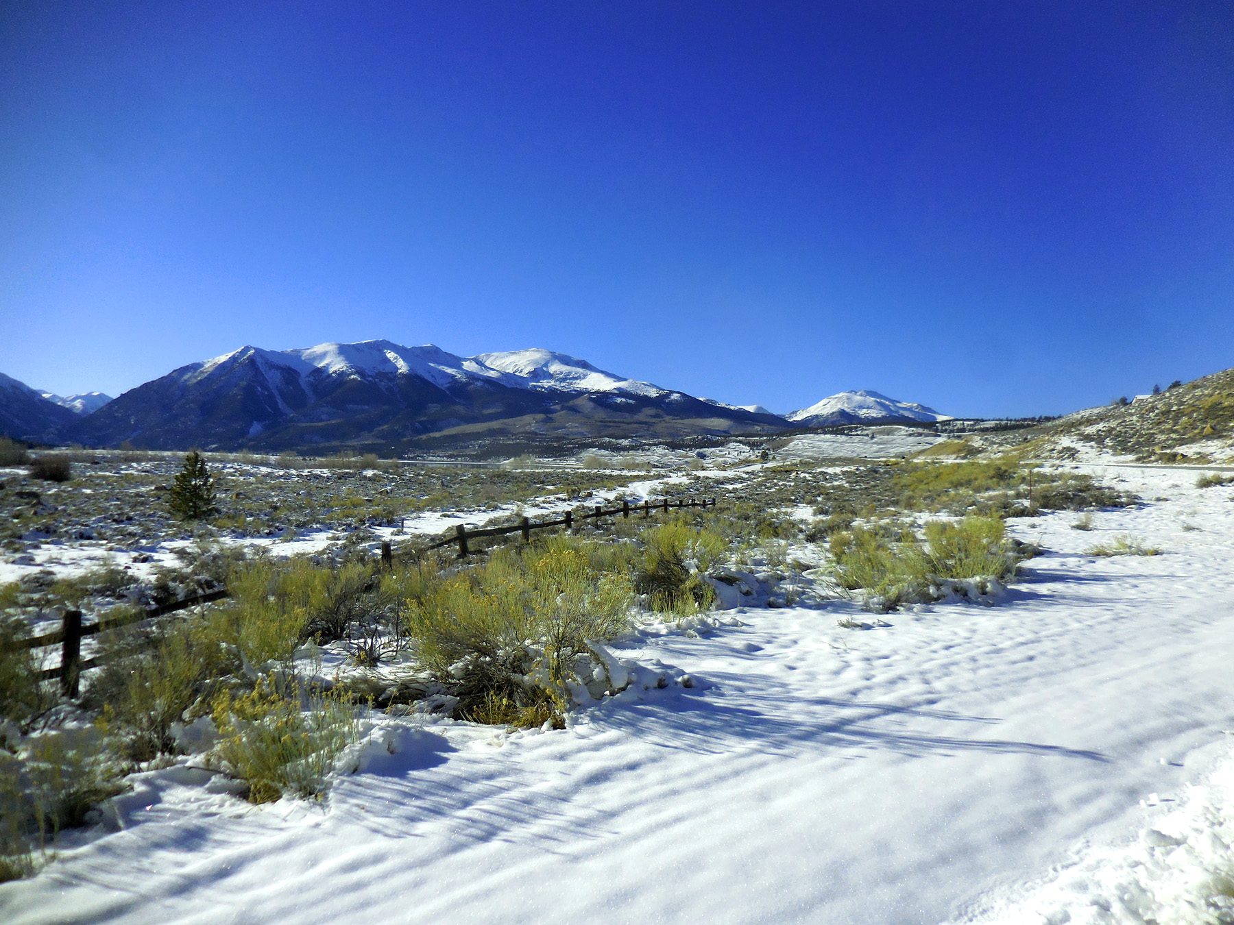
Mt. Elbert (14,443') and Mt. Massive (14,421') two highest peaks in Colorado
Nov 27 2020 - 2:43 pm
Nov 27 2020 - 2:43 pm
55 / 75
Mt. Elbert highest 14er in Colorado
Nov 06 2020 - 1:14 pm
Nov 06 2020 - 1:14 pm
56 / 66
From left: Mt. Oxford (14,153'), Mt. Belford (14,197'), Missouri Mountain (14,067'), La Plata Peak (14,361')
Nov 06 2020 - 1:31 pm
Nov 06 2020 - 1:31 pm
57 / 75
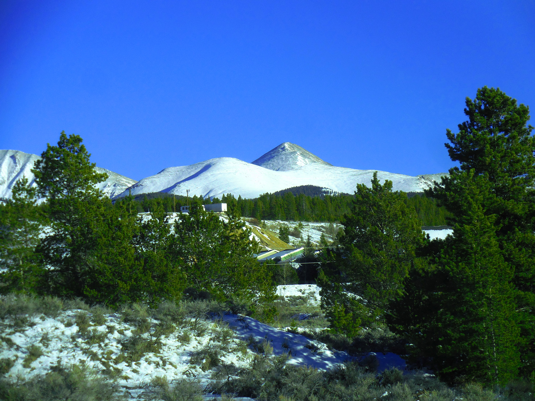
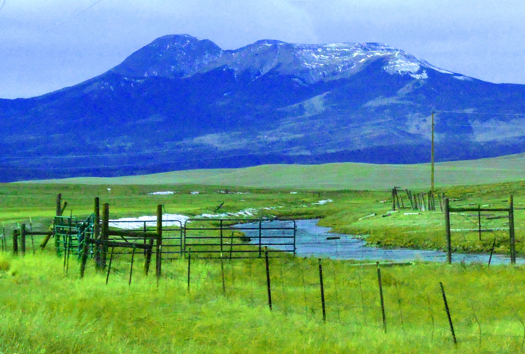
Galena Mountain (12,823') behind Leadville mine workings
Nov 27 2020 - 3:12 pm
Nov 27 2020 - 3:12 pm
58 / 75
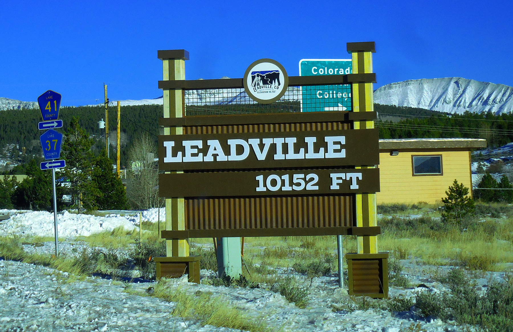
Highest incorporated town in the United States
Nov 27 2020 - 3:13 pm
Nov 27 2020 - 3:13 pm
59 / 75
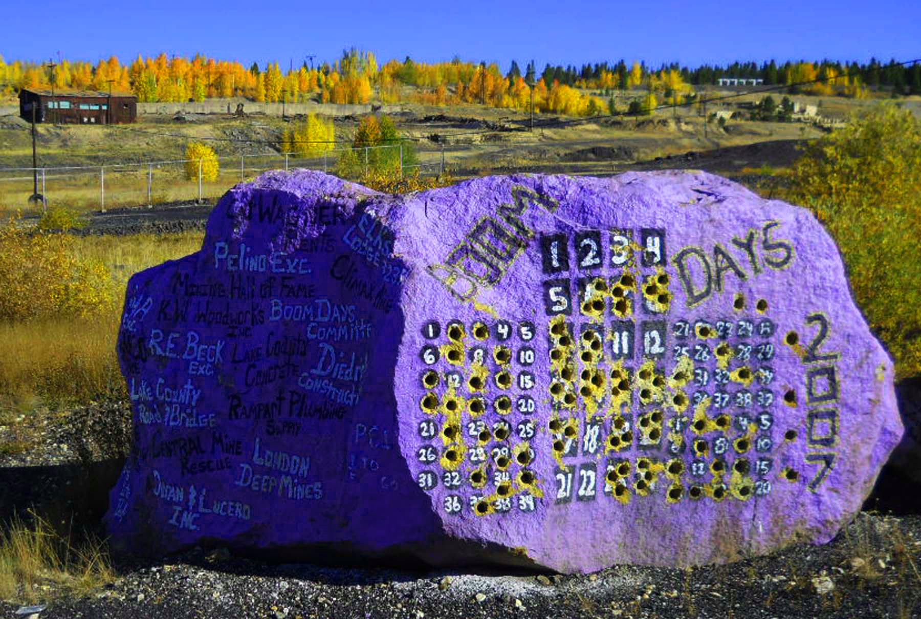
Leadville Boom Days drilling contest
Sep 29 2011 - 10:32 am
Sep 29 2011 - 10:32 am
60 / 75
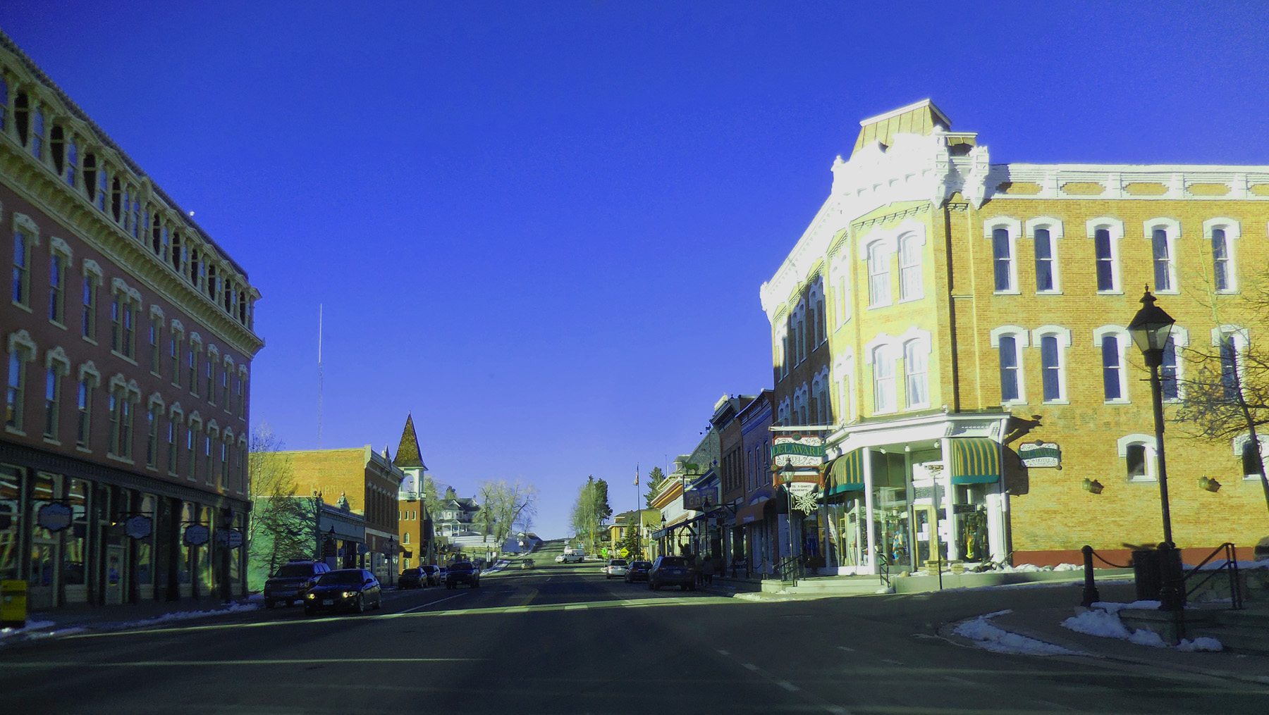
Leadville
Nov 27 2020 - 3:17 pm
Nov 27 2020 - 3:17 pm
61 / 75
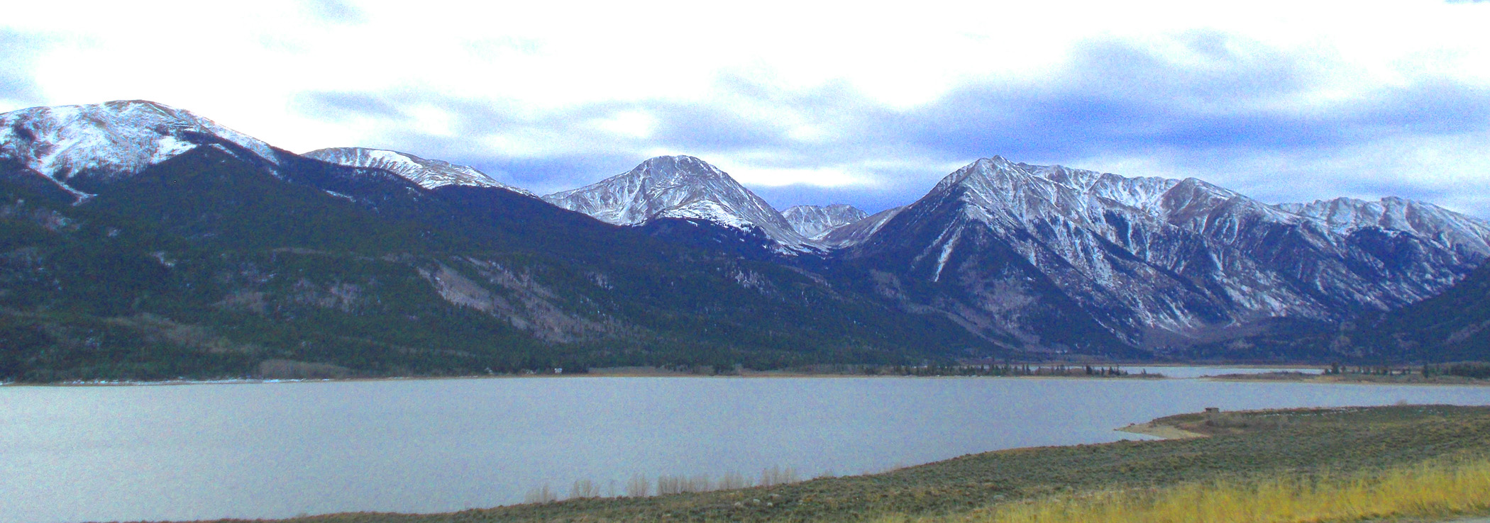
Mt. Elbert (14,443') and Mt. Massive (14,421') from the north
Apr 06 2017 - 12:44 pm
Apr 06 2017 - 12:44 pm
62 / 75
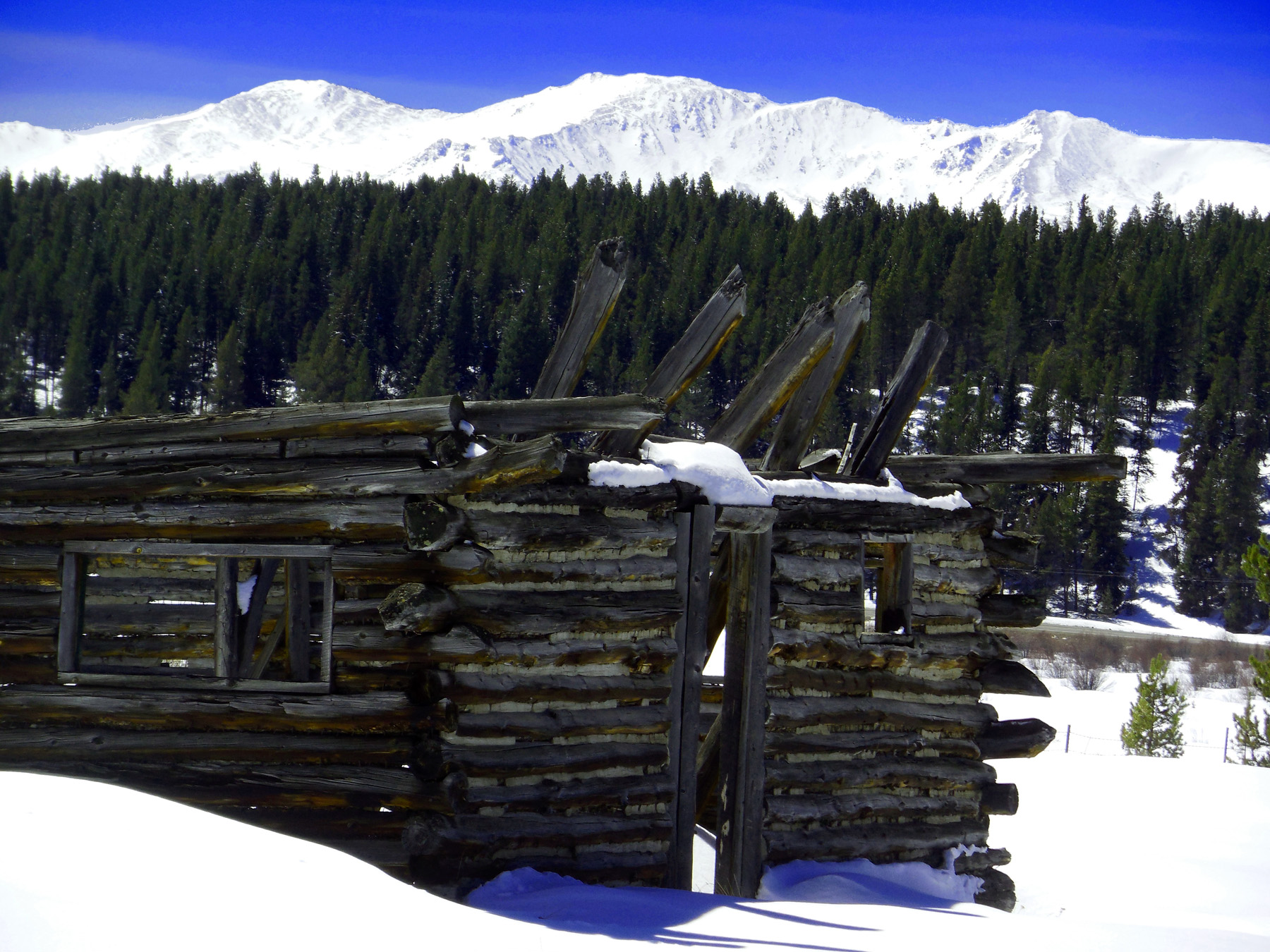
Mt. Massive over log cabin
Apr 06 2017 - 12:46 pm
Apr 06 2017 - 12:46 pm
63 / 75
Last look back at Mt. Massive
Apr 06 2017 - 12:50 pm
Apr 06 2017 - 12:50 pm
64 / 75
Upper Arkansas River
Apr 06 2017 - 12:21 pm
Apr 06 2017 - 12:21 pm
65 / 75
Up to Tennessee Pass
Nov 27 2020 - 3:31 pm
Nov 27 2020 - 3:31 pm
66 / 75
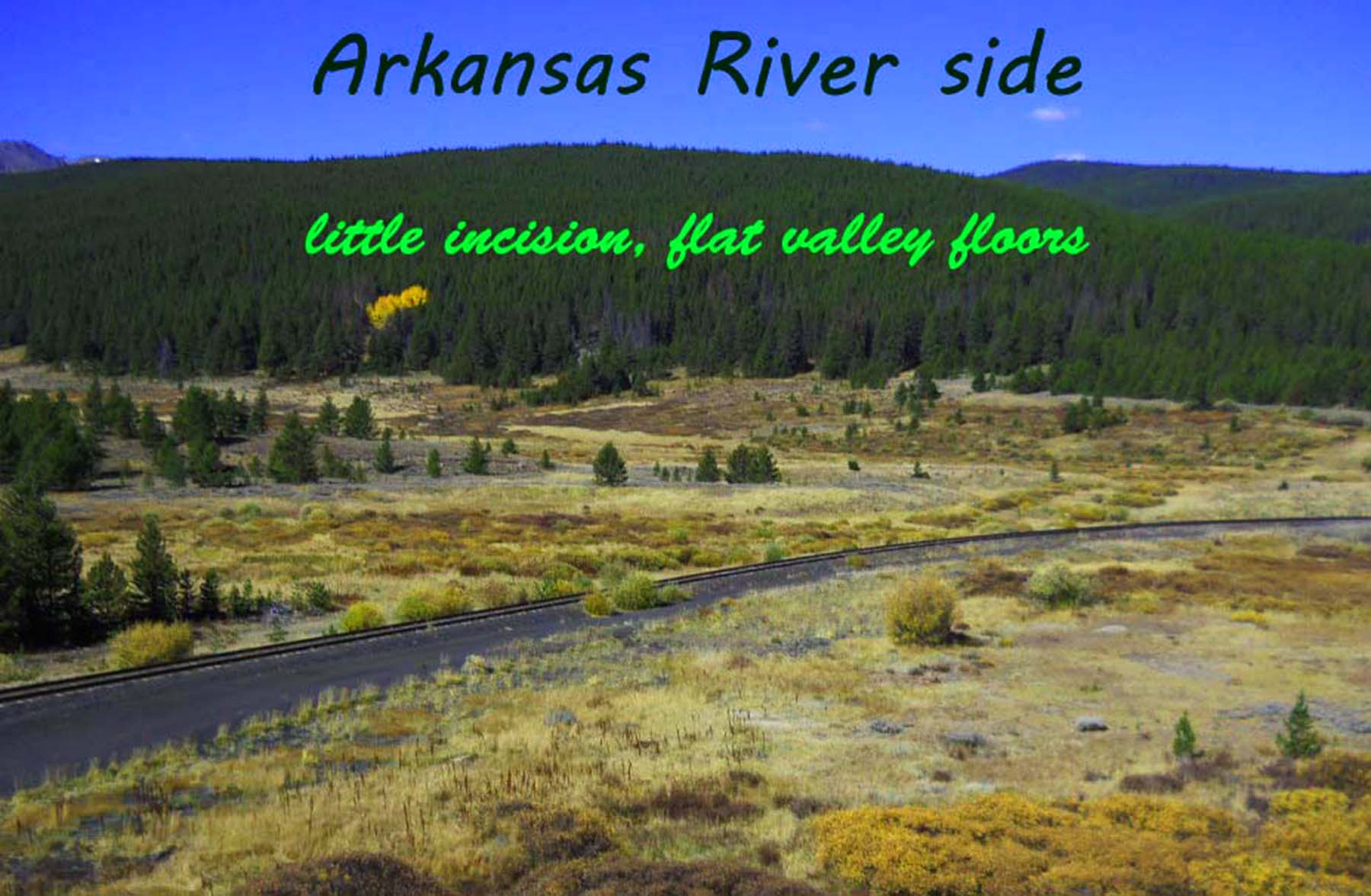
Atlantic side of the pass
Sep 29 2011 - 10:32 am
Sep 29 2011 - 10:32 am
67 / 75
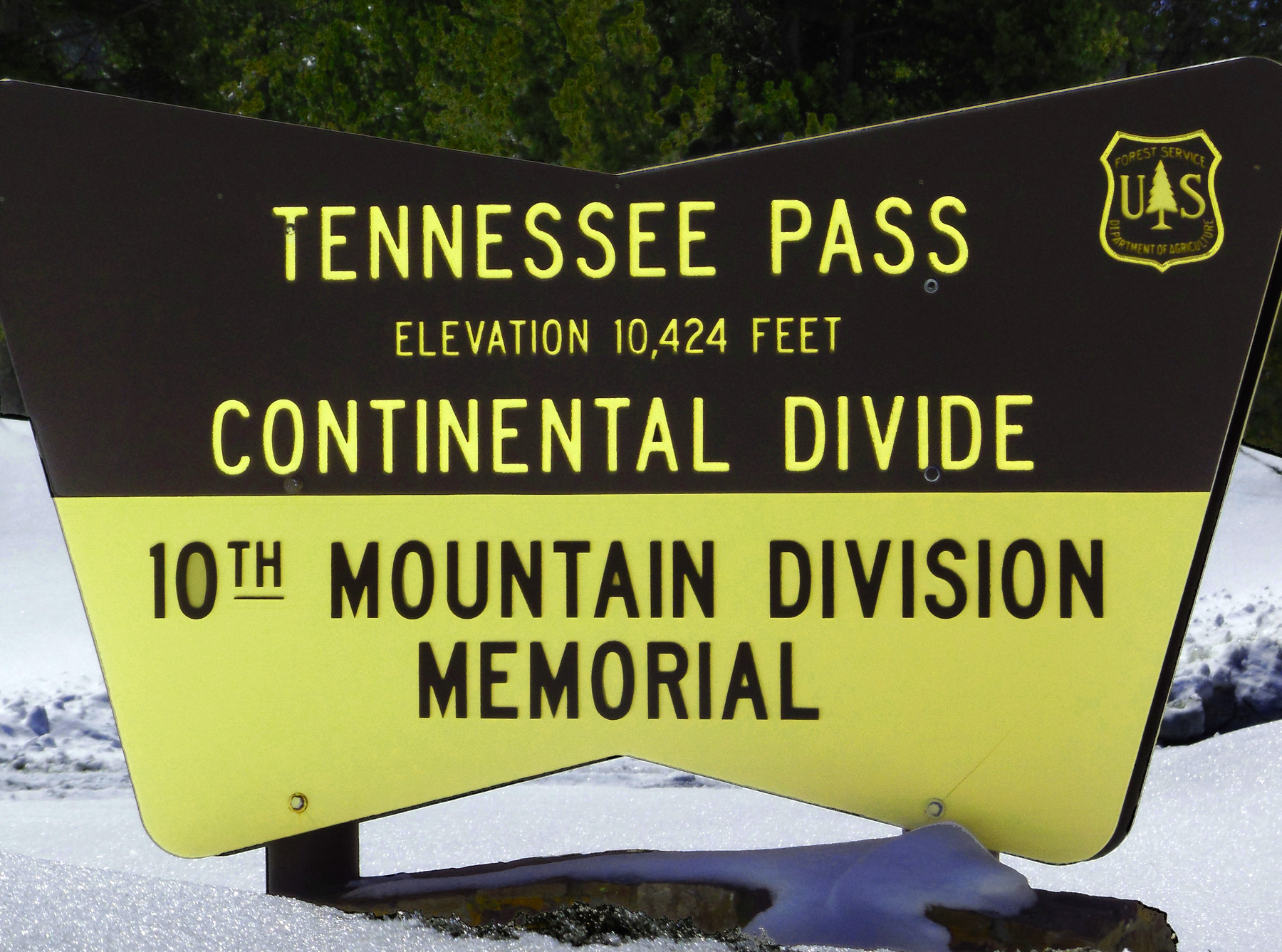
Tennessee Pass
Apr 06 2017 - 12:42 pm
Apr 06 2017 - 12:42 pm
68 / 75
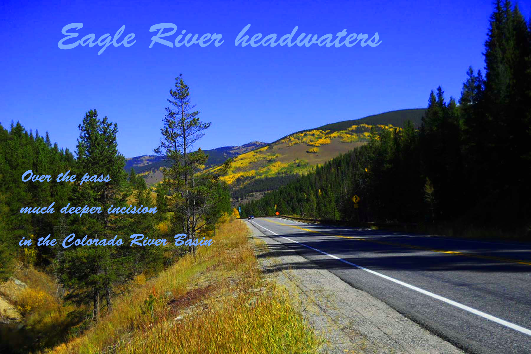
Pacific side of the pass
Sep 29 2011 - 10:50 am
Sep 29 2011 - 10:50 am
69 / 75
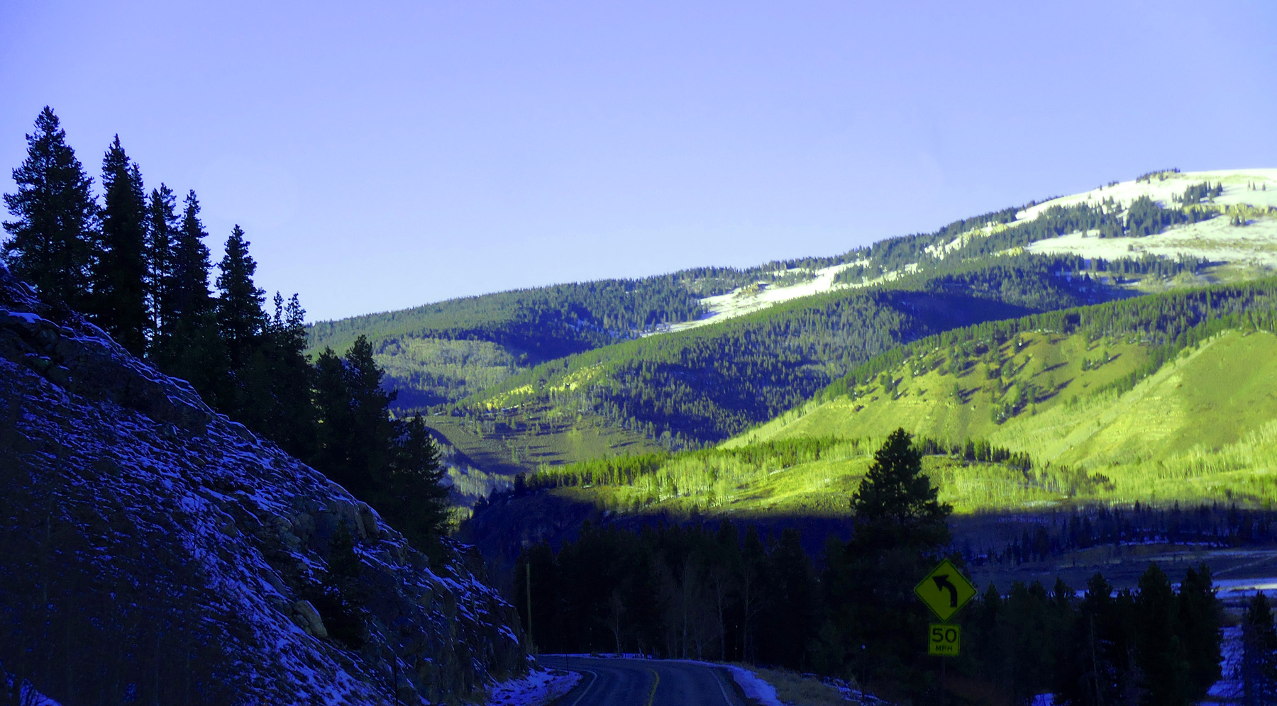
Down Eagle River Canyon
Nov 27 2020 - 3:41 pm
Nov 27 2020 - 3:41 pm
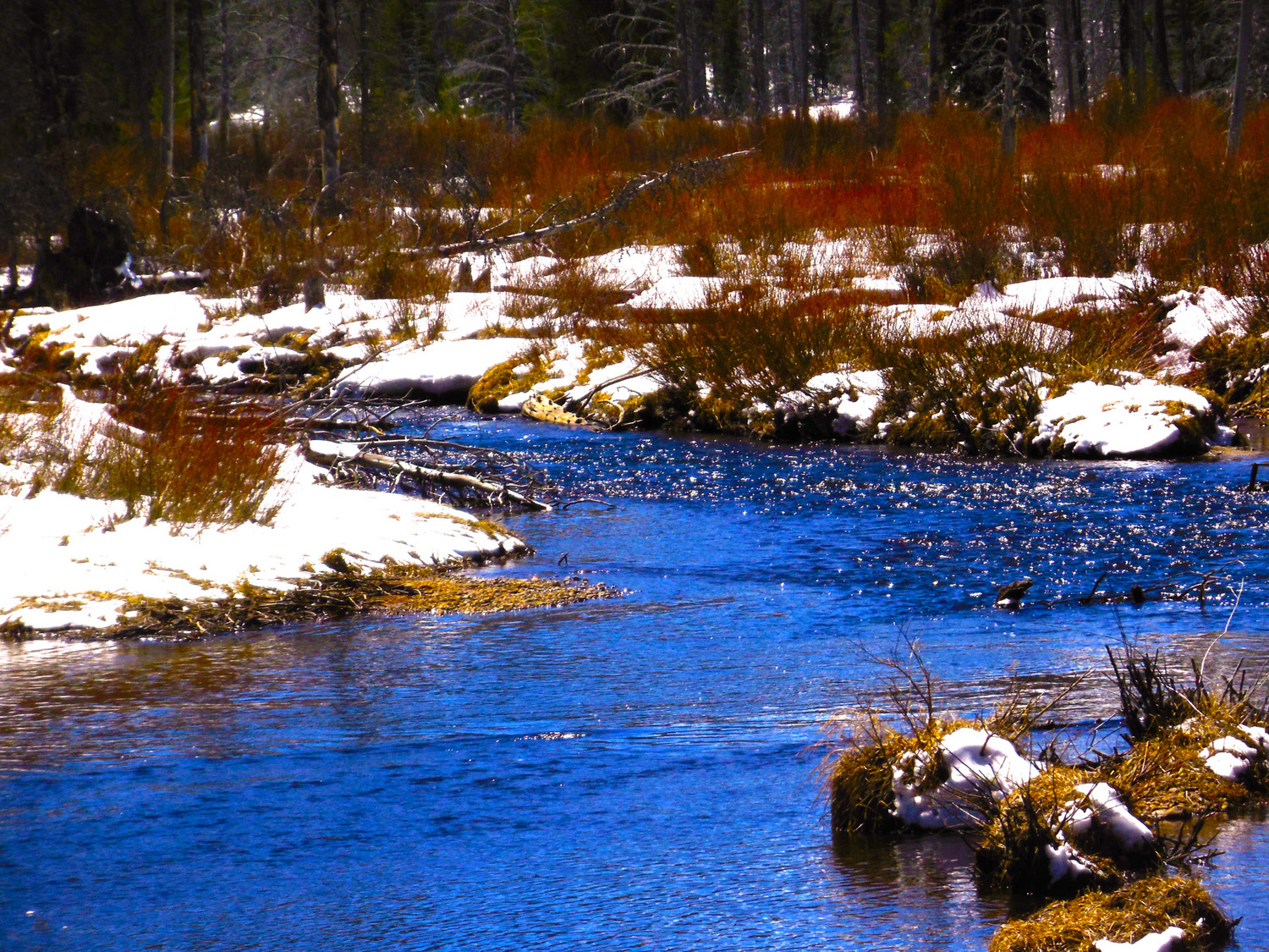
70 / 75
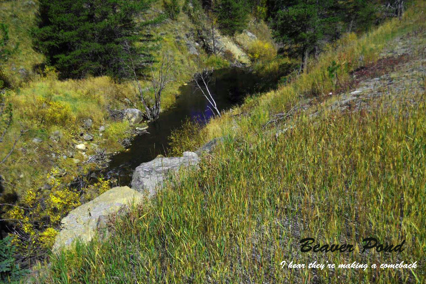
Beaver Pond
Sep 29 2011 - 11:51 am
Sep 29 2011 - 11:51 am
71 / 75
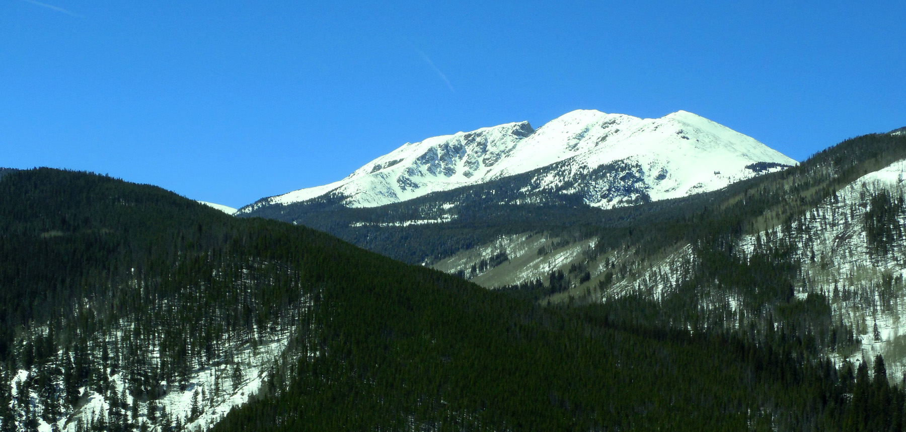
Appropriatley named Notch Mountain (13,237')
Apr 06 2017 - 12:03 pm
Apr 06 2017 - 12:03 pm
72 / 75
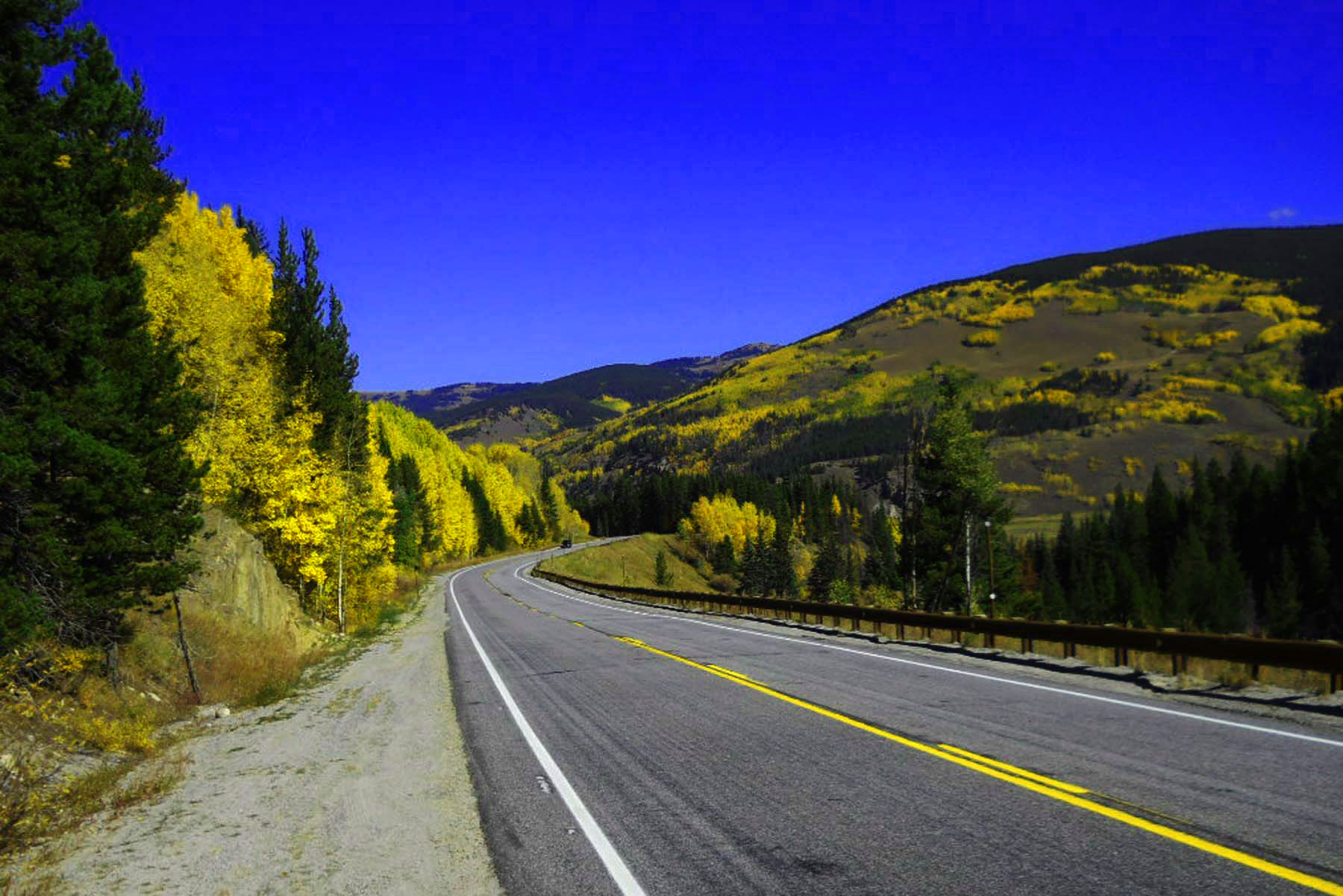
Colorful Colorado
Sep 29 2011 - 11:56 am
Sep 29 2011 - 11:56 am
73 / 75
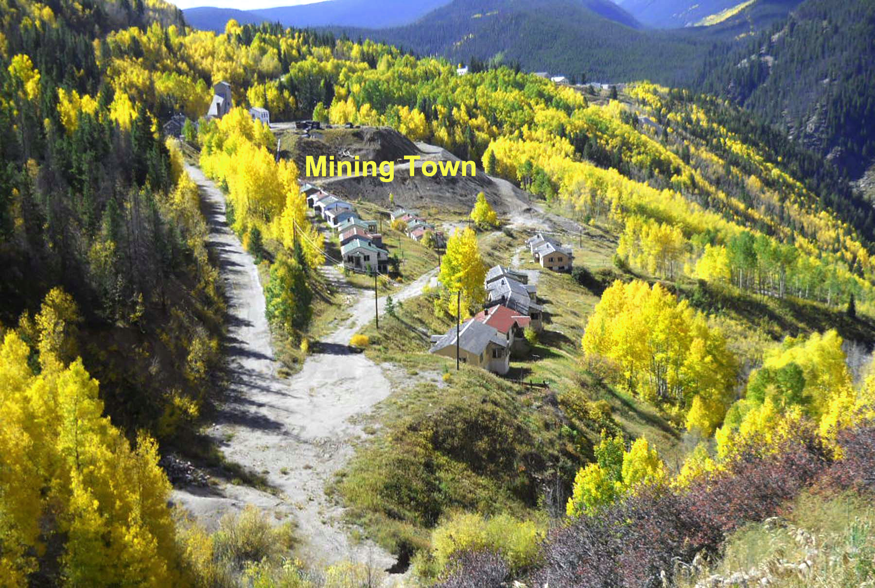
Gold
Sep 29 2011 - 12:20 pm
Sep 29 2011 - 12:20 pm
74 / 75
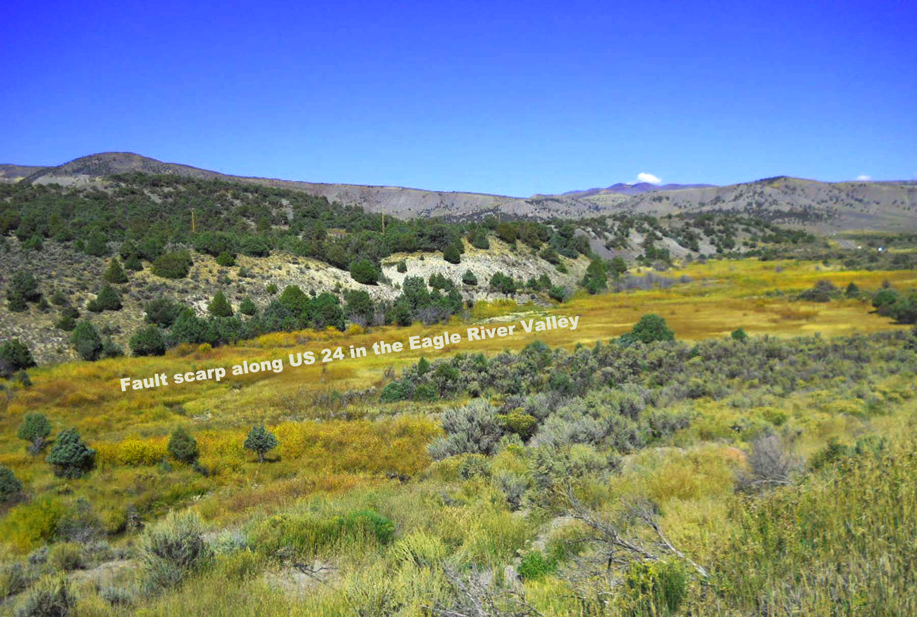
Eagle River Valley
Sep 29 2011 - 12:58 am
Sep 29 2011 - 12:58 am
75 / 75

West end of US 24
I 70 at Minturn
I 70 at Minturn