64 Slides
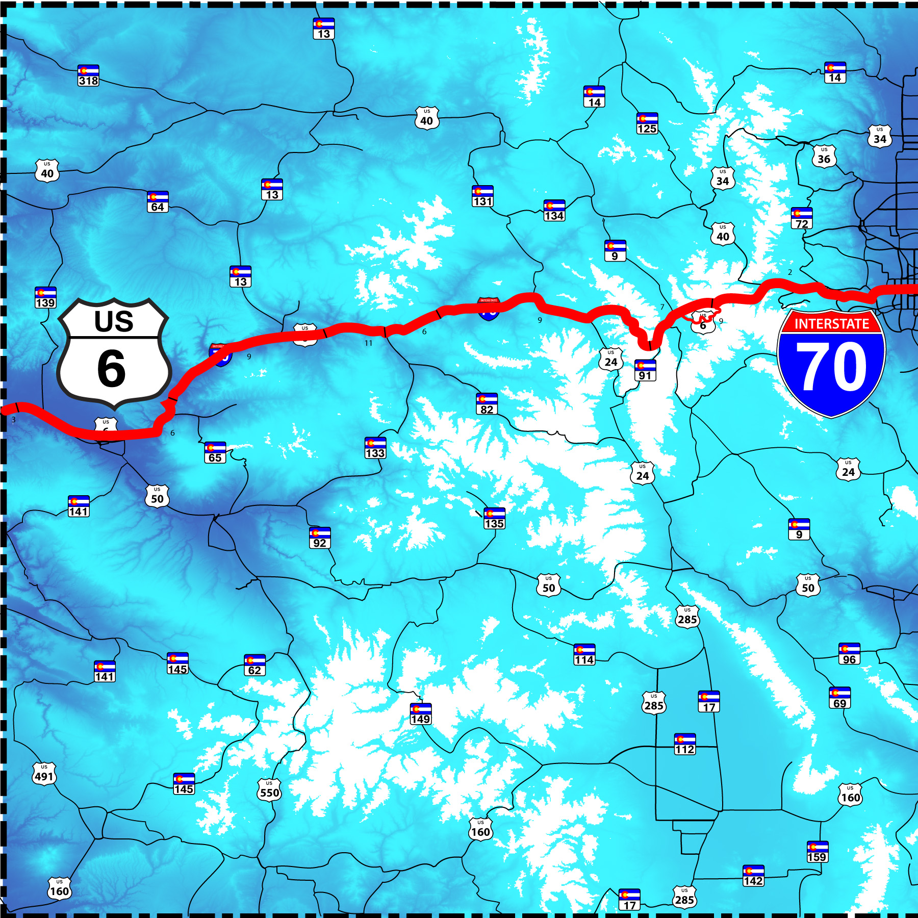
US 6 parallels I 70 through the Colorado Rockies
Road Index or use your browser "back" arrow or function 30 second cycle: please choose another user-controlled 2 seconds 5 seconds 10 seconds 1 minute
1 / 64
2 / 64
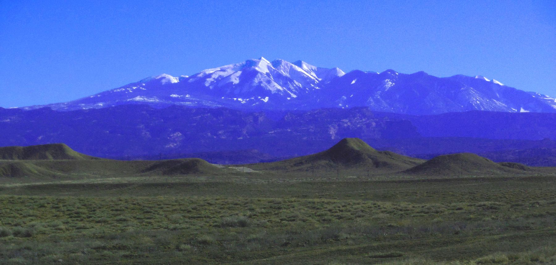
La Sal Mountains 10 miles west of Colorado
Feb 15 2017 - 2:12 pm
Feb 15 2017 - 2:12 pm
3 / 64
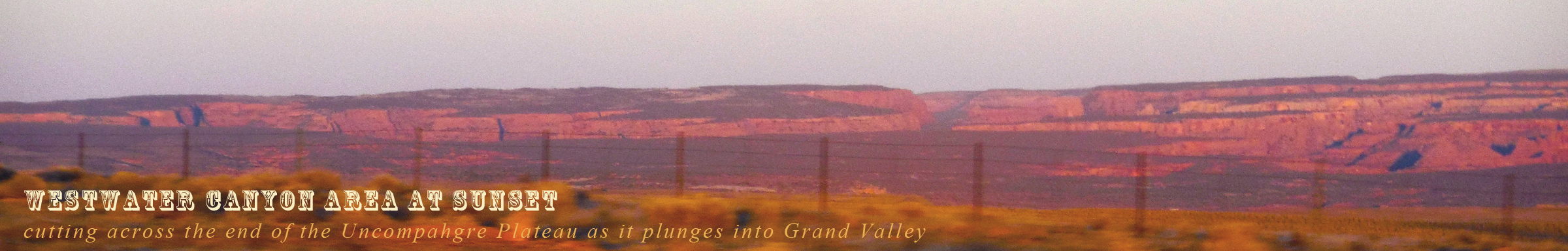
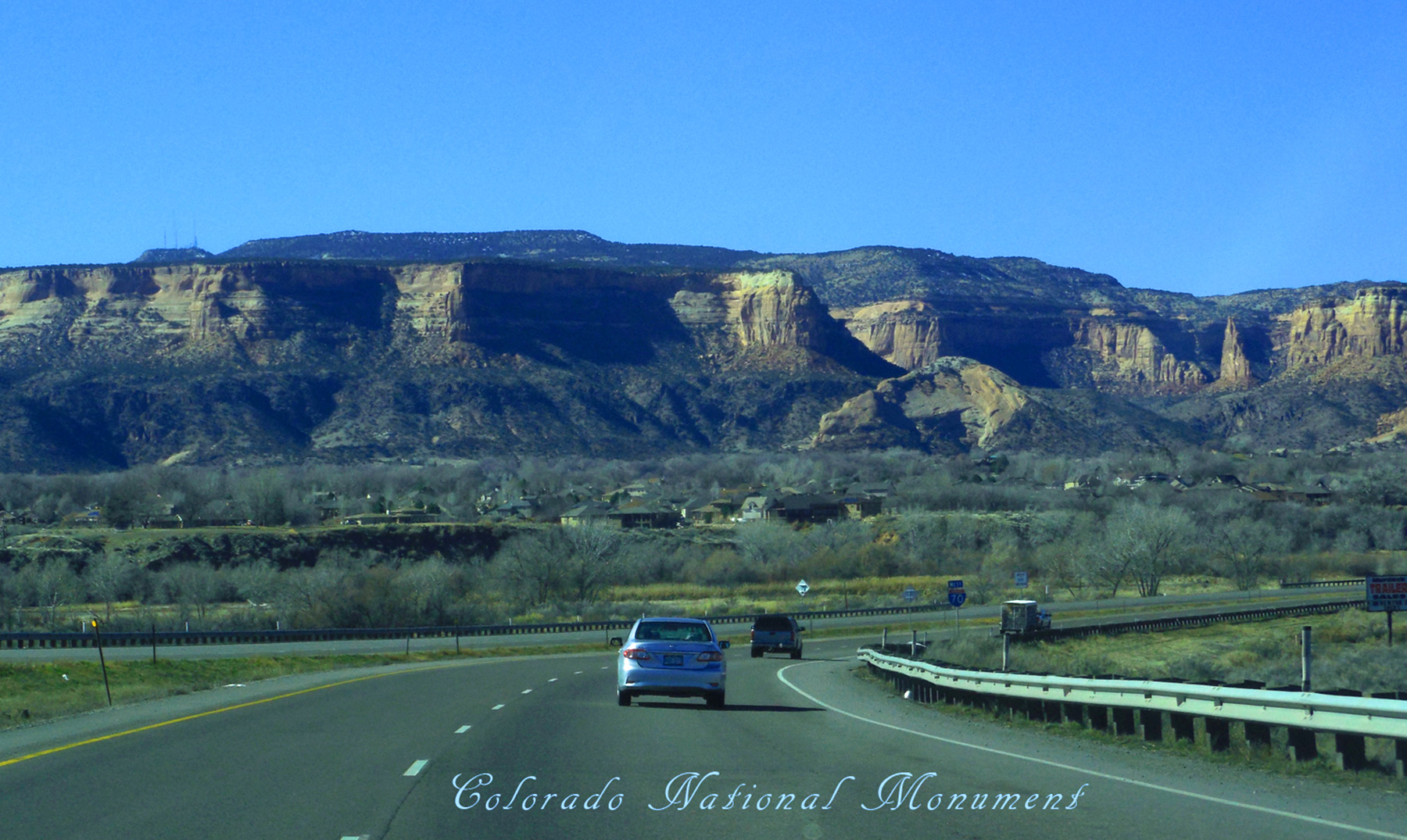
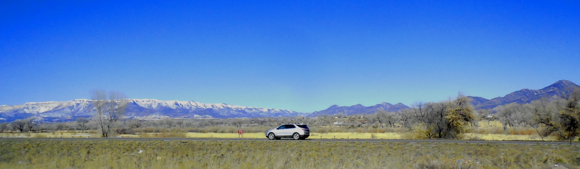
5 miles west of Colorado
Feb 15 2017 - 5:49 pm
Feb 15 2017 - 5:49 pm
4 / 64
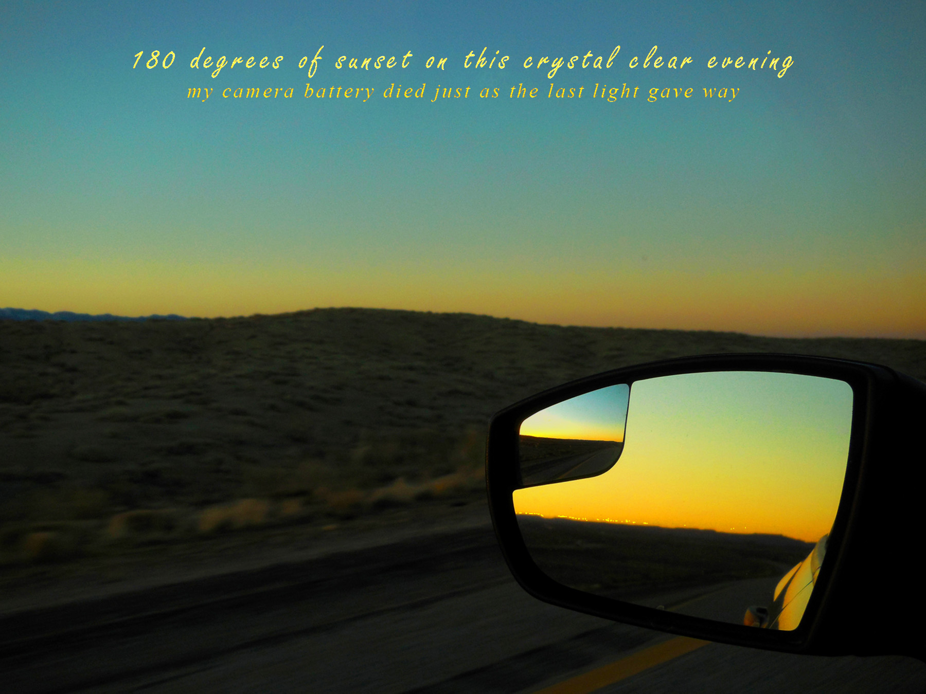
Colorful Colorado (360 degree sunsets)
Feb 15 2017 - 5:52 pm
Feb 15 2017 - 5:52 pm
5 / 64
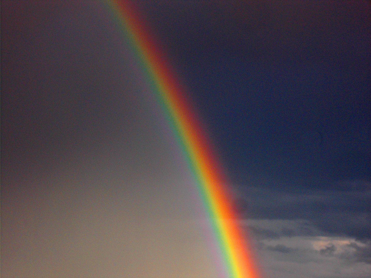
Intense summer solstice rainbow (from exit 15, Loma)
Jun 25 2021 - 7:52 pm
Jun 25 2021 - 7:52 pm
6 / 64
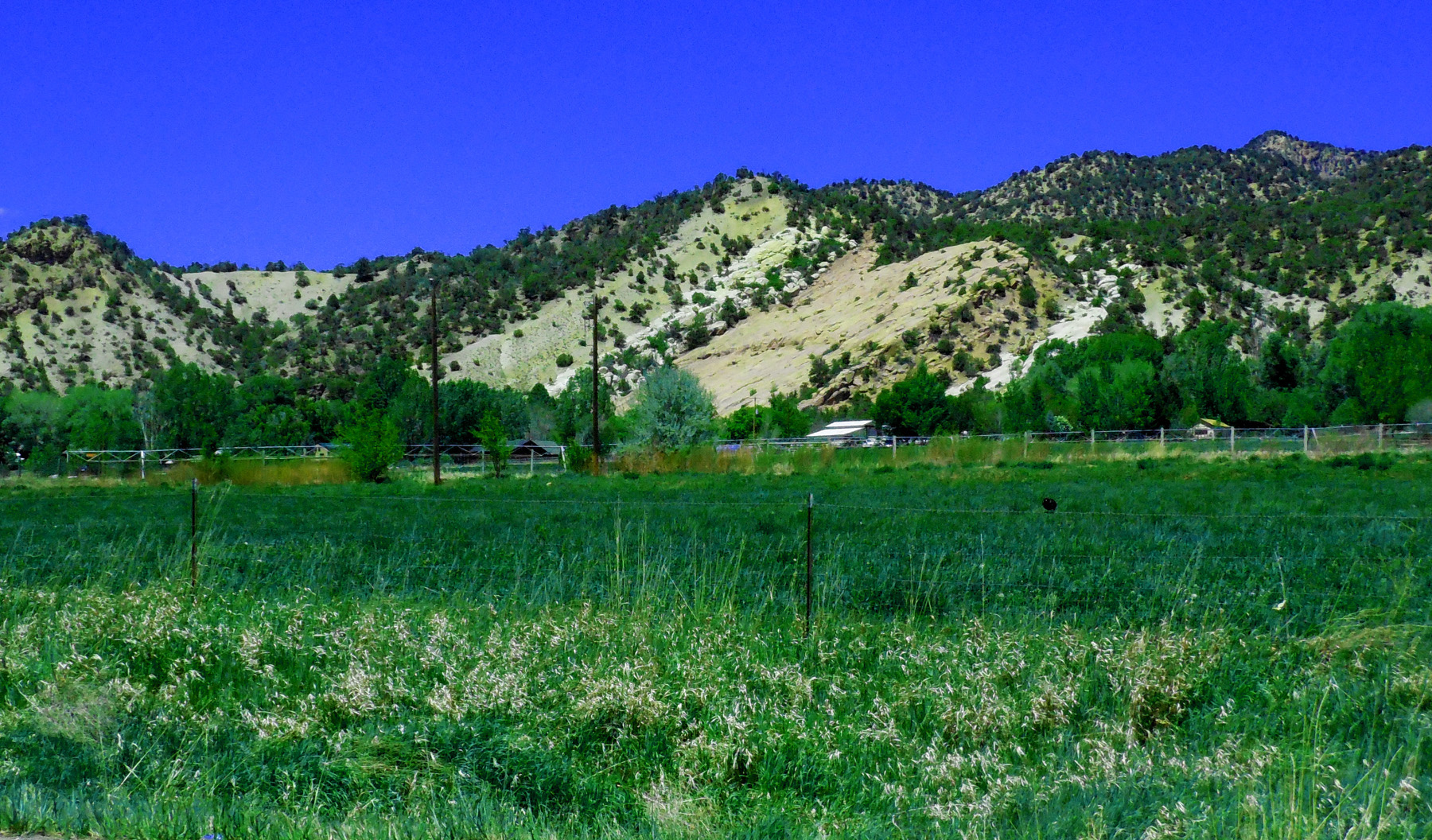
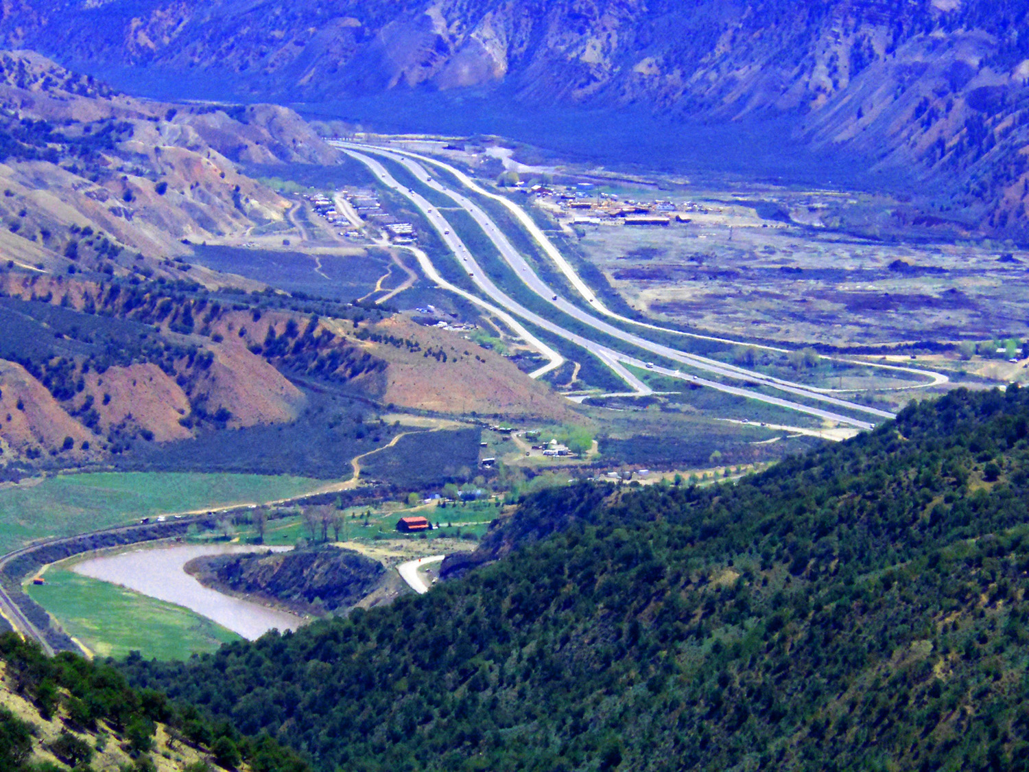
Recommended 1 hour side road (not including photo stops)
Feb 15 2017 - 11:40 am
Feb 15 2017 - 11:40 am
7 / 64
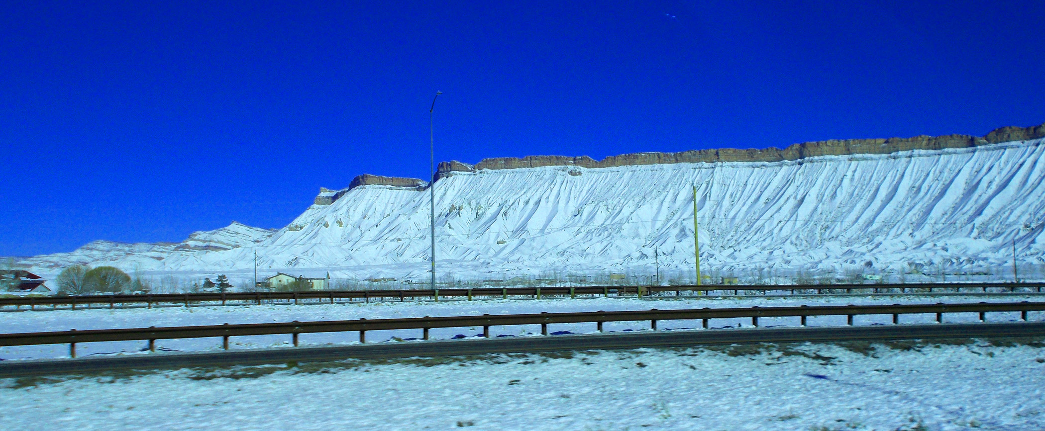
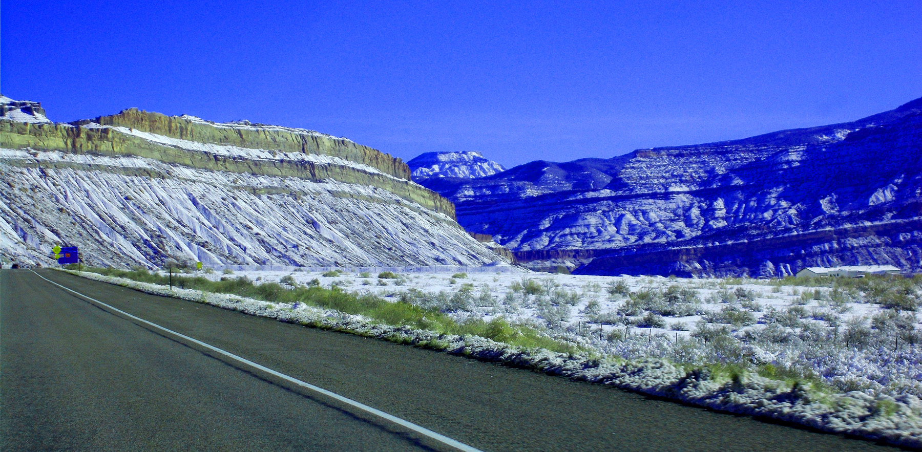
Book Cliffs just after a snow (snow doesn't long survive on southwest facing cliffs)
Jan 12 2018 - 10:36 am
Jan 12 2018 - 10:36 am
8 / 64
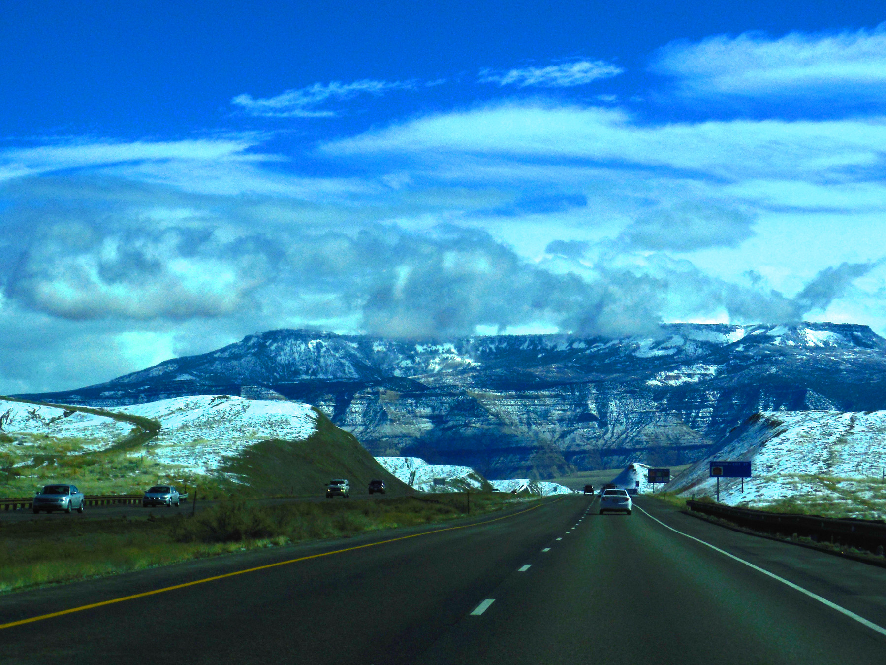
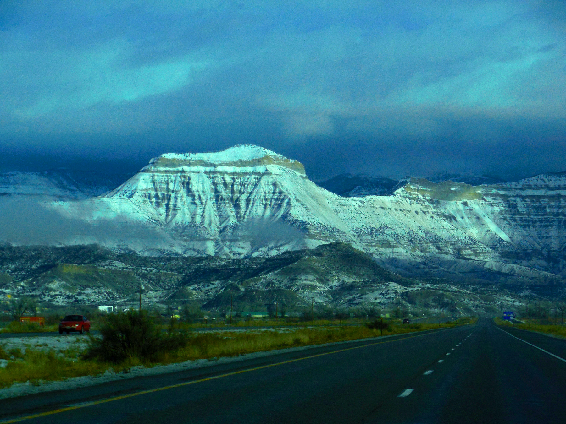
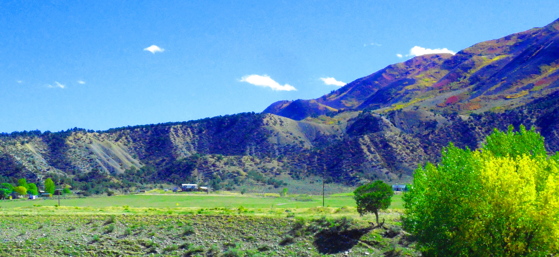
Grand Mesa rising 1 mile above the Grand Valley (largest flat-topped mountain in the world, so the locals say)
Feb 28 2017 - 12:18 pm
Feb 28 2017 - 12:18 pm
9 / 64
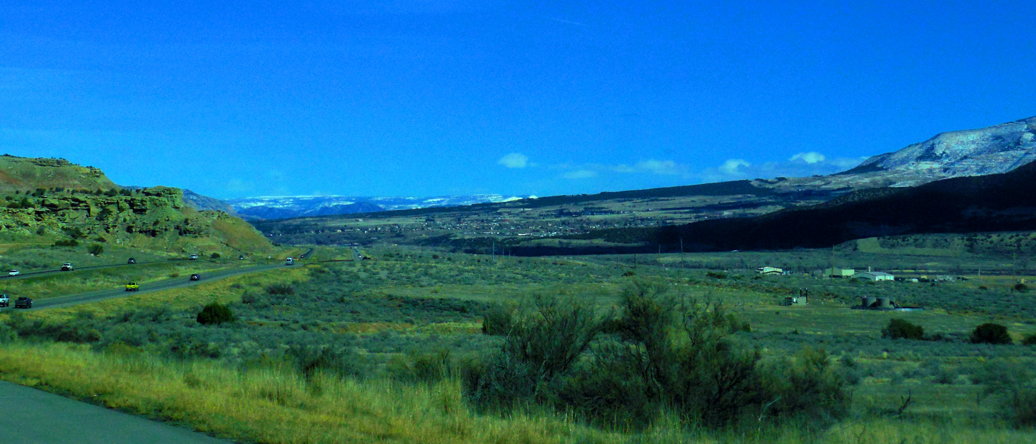
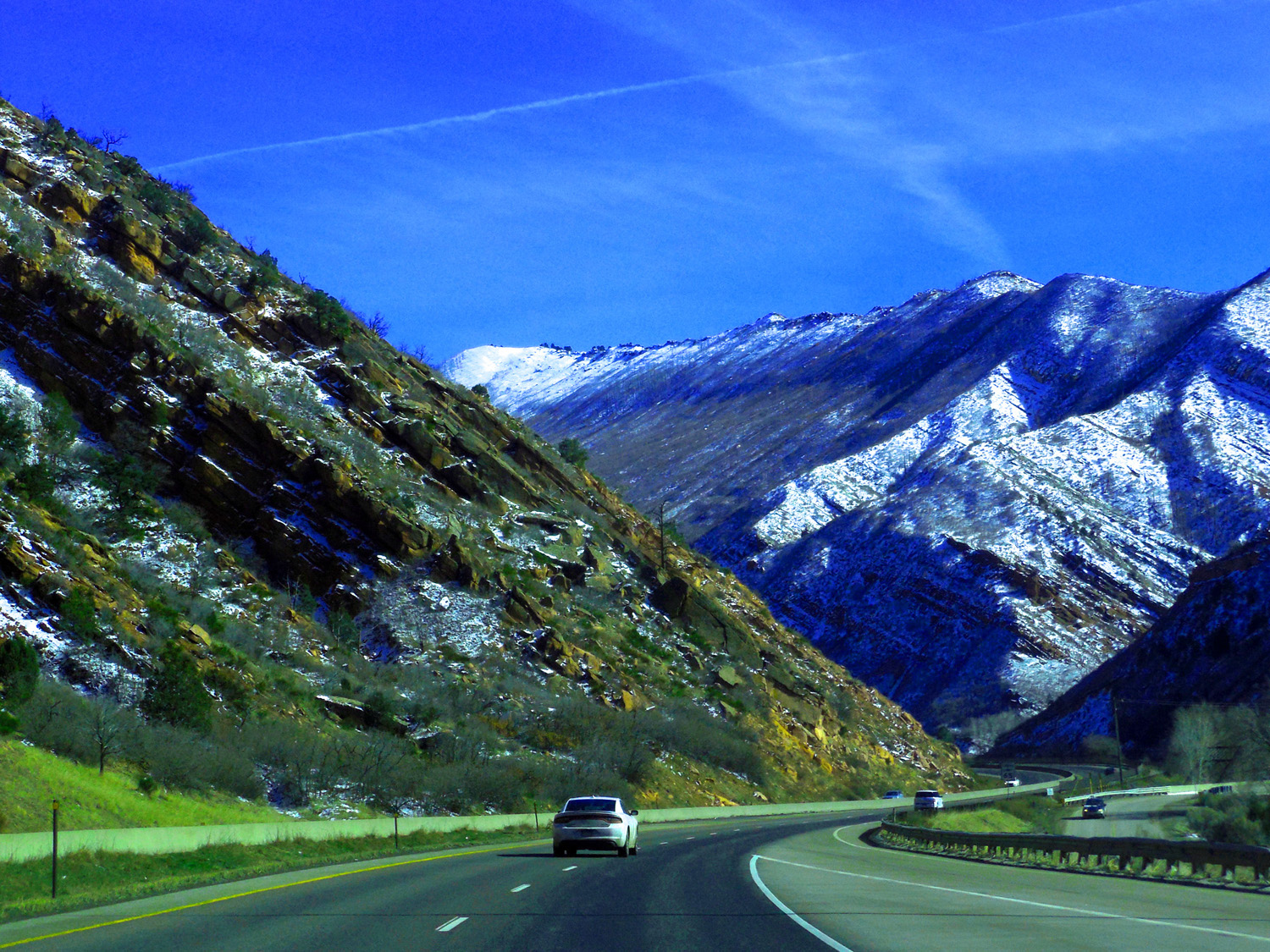
Entering Debeque Canyon
Jan 12 2018 - 10:39 am
Jan 12 2018 - 10:39 am
10 / 64
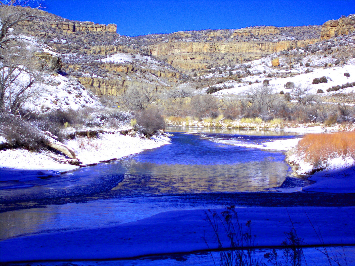
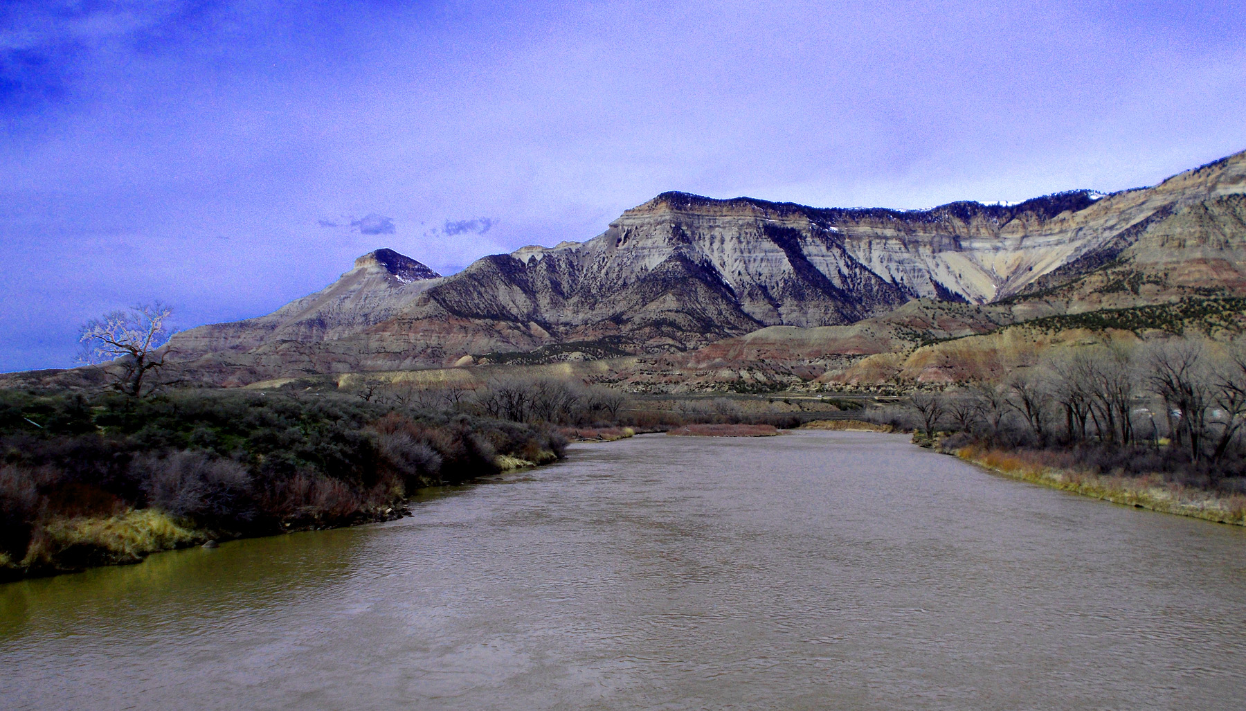
Colorado River in Debeque Canyon
Jan 12 2018 - 11:59 am
Jan 12 2018 - 11:59 am
11 / 64
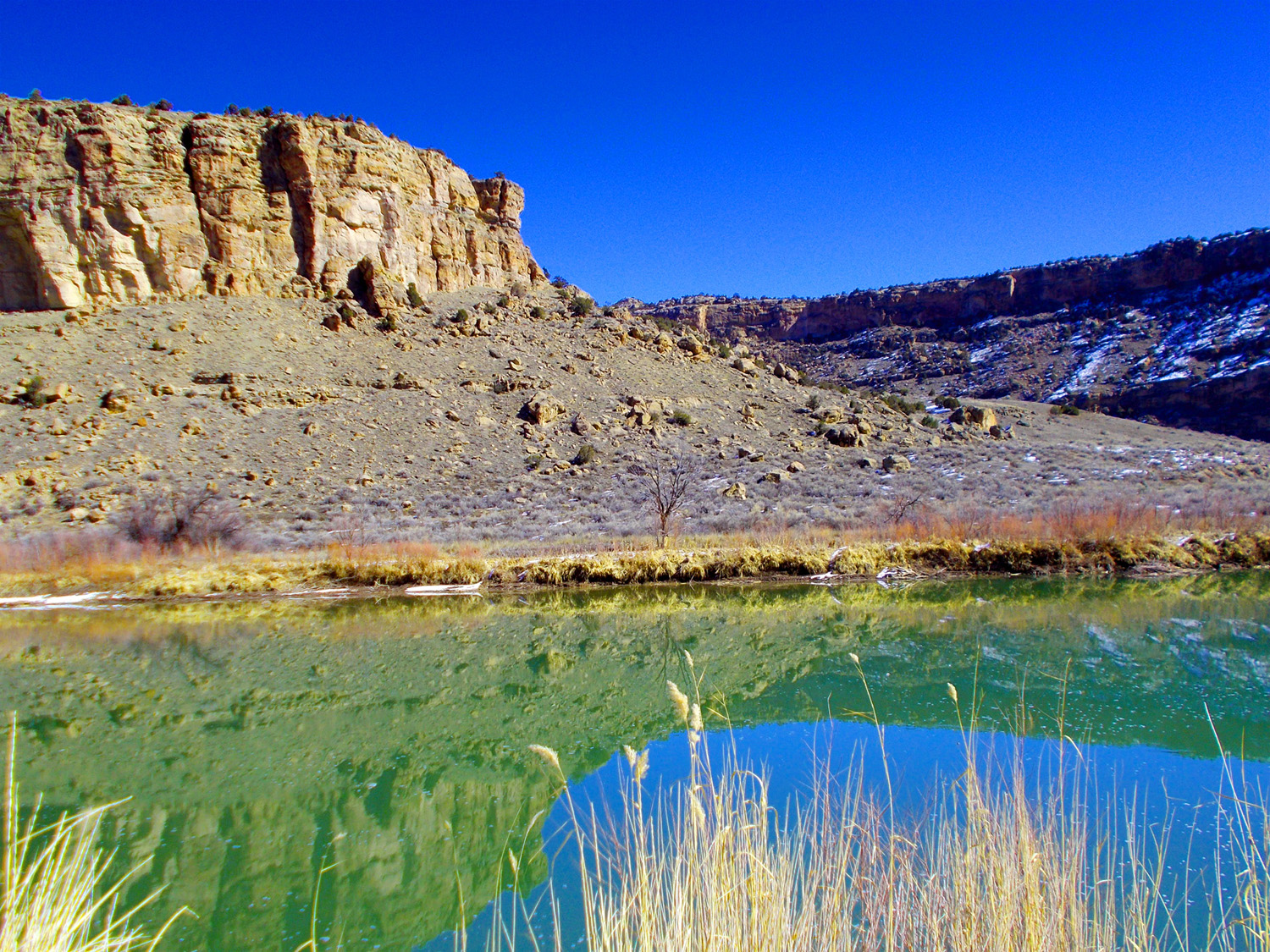
Mesa Verde sandstone reflected by the river
Feb 16 2018 - 10:53 am
Feb 16 2018 - 10:53 am
12 / 64
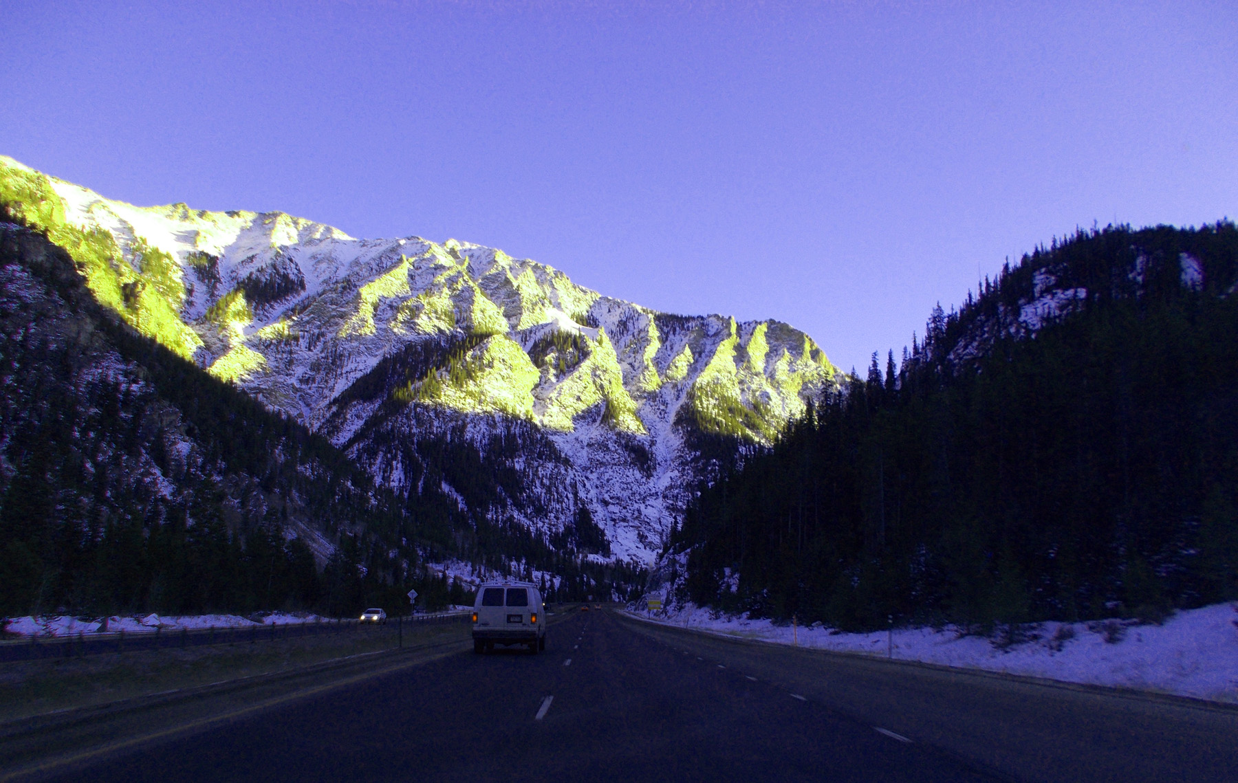
Mount Logan (8,413')
Jan 08 2017 - 11:40 am
Jan 08 2017 - 11:40 am
13 / 64
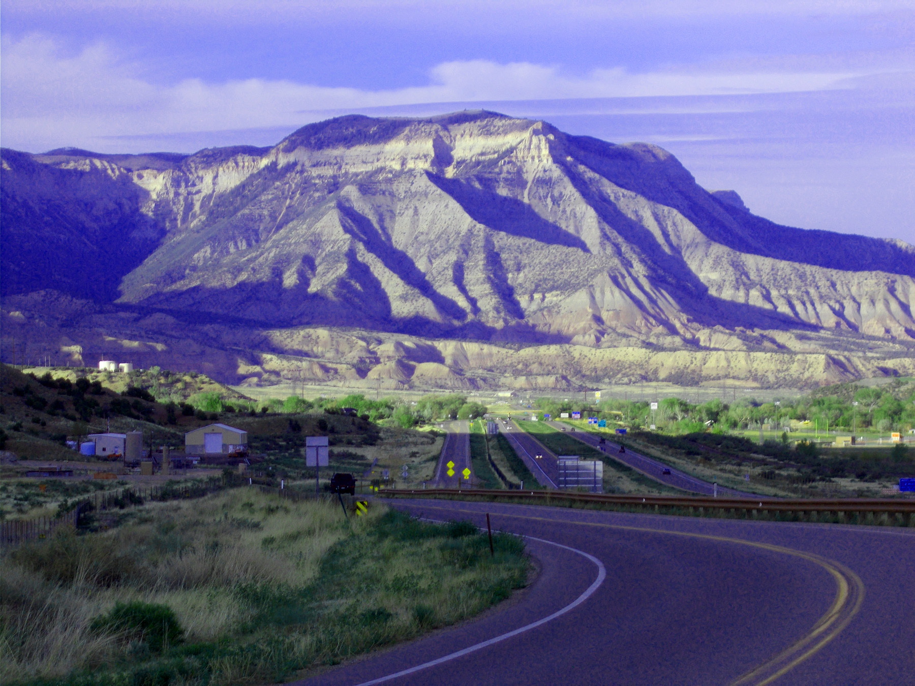
Roan Cliffs over the Colorado River
Apr 09 2019 - 12:44 pm
Apr 09 2019 - 12:44 pm
14 / 64
Flat Tops Mountain Range beyond Mesa Verde dip-slope off Battlement Mesa and into the Piceance Basin
Feb 26 2017 - 1:28 pm
Feb 26 2017 - 1:28 pm
15 / 64
Battlement Mesa: Houston Mountain (10,270') and Doghead Mountain (9,685') framing North Mamm Peak (11,123')>
May 26 2020 - 7:34 pm
May 26 2020 - 7:34 pm
16 / 64
Blue blanket
Apr 09 2019 - 12:52 pm
Apr 09 2019 - 12:52 pm
17 / 64
Mt. Callahan (8,606')
May 08 2020 - 5:51 pm
May 08 2020 - 5:51 pm
18 / 64
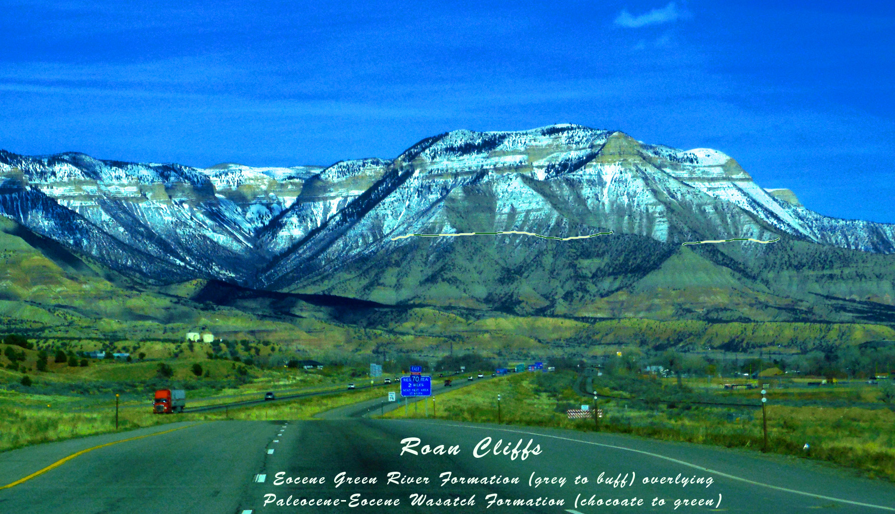
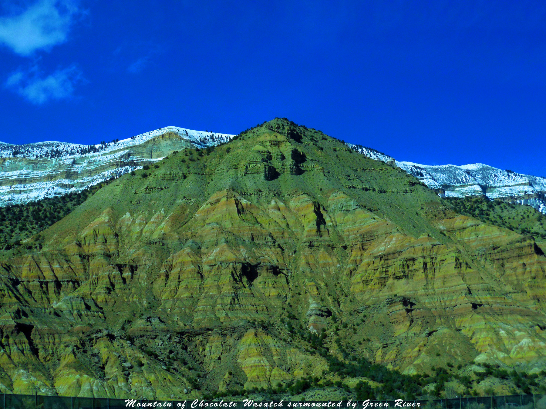
For geology buffs
Apr 09 2019 - 12:44 pm
Apr 09 2019 - 12:44 pm
19 / 64
Feb 26 2017 - 1:39 pm
20 / 64
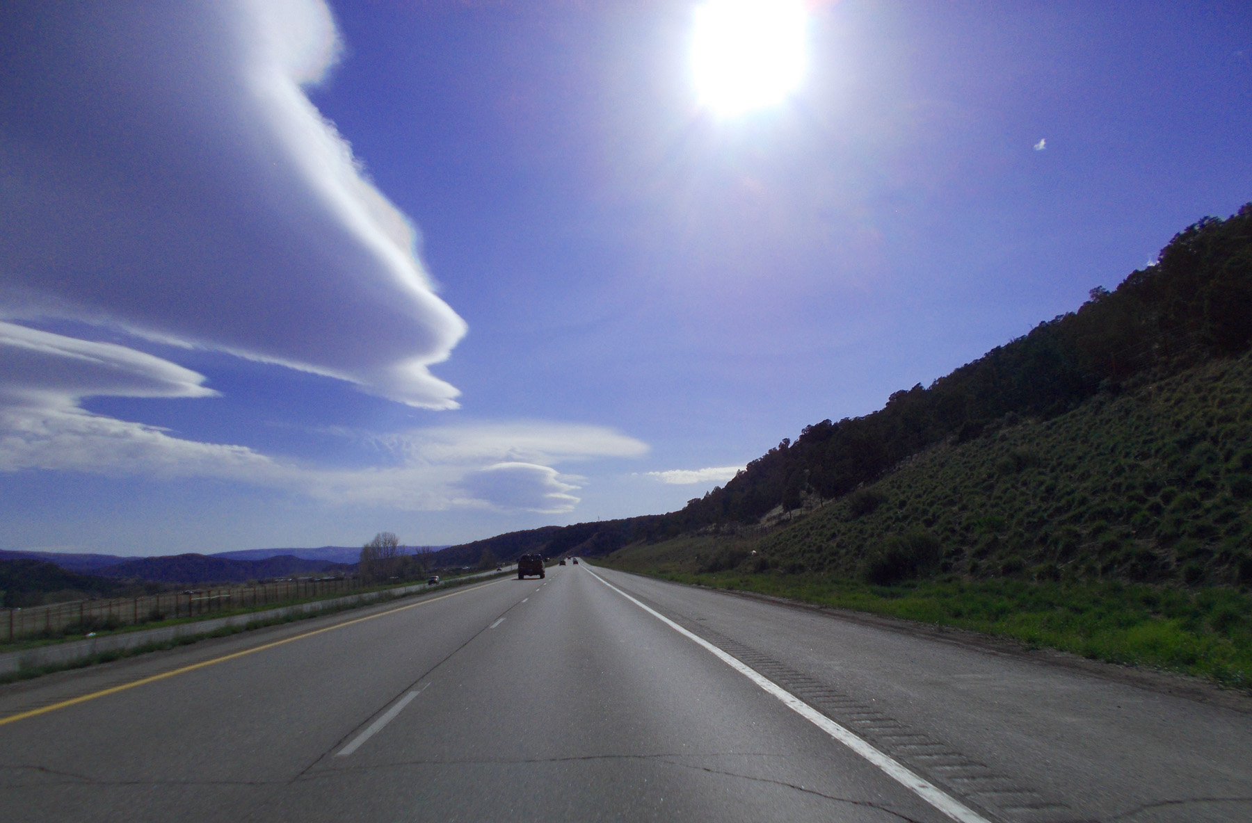
Flat clouds along pediment scarp
May 08 2020 - 4:32 pm
May 08 2020 - 4:32 pm
21 / 64
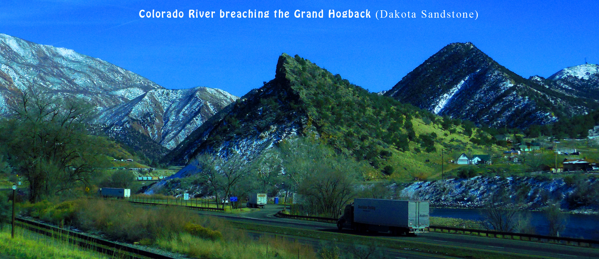
Grand Hogback (Paleocene-Eocene Wasatch Formation and Cretaceous Mesa Verde Formation tilted along the western Flat Tops uplift)
May 13 2017 - 12:42 pm
May 13 2017 - 12:42 pm
22 / 64
Roan Cliffs (right) and Grand Hogback (left) (CO 13 from Rifle and Meeker follows the Wasatch Formation gap between the two landforms)
Feb 28 2020 - 10:07 am
Feb 28 2020 - 10:07 am
23 / 64
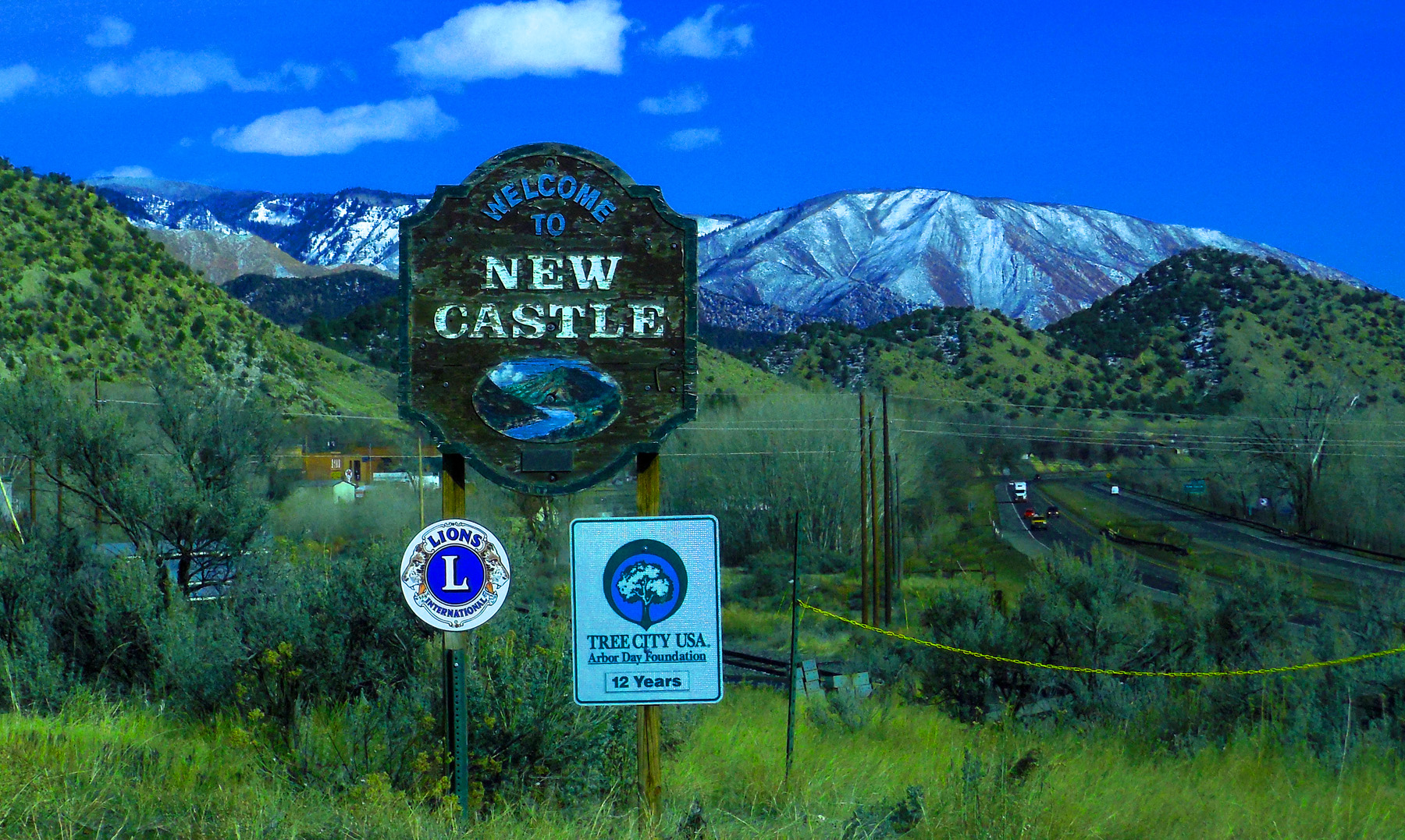
I grew up in New Castle, IN
Feb 26 2017 - 2:15 pm
Feb 26 2017 - 2:15 pm
24 / 64
Cretaceous gives way to Paleozoic along the Grand Hogback between New Castle and Glenwood Springs
Feb 26 2017 - 2:23 pm
Feb 26 2017 - 2:23 pm
25 / 64
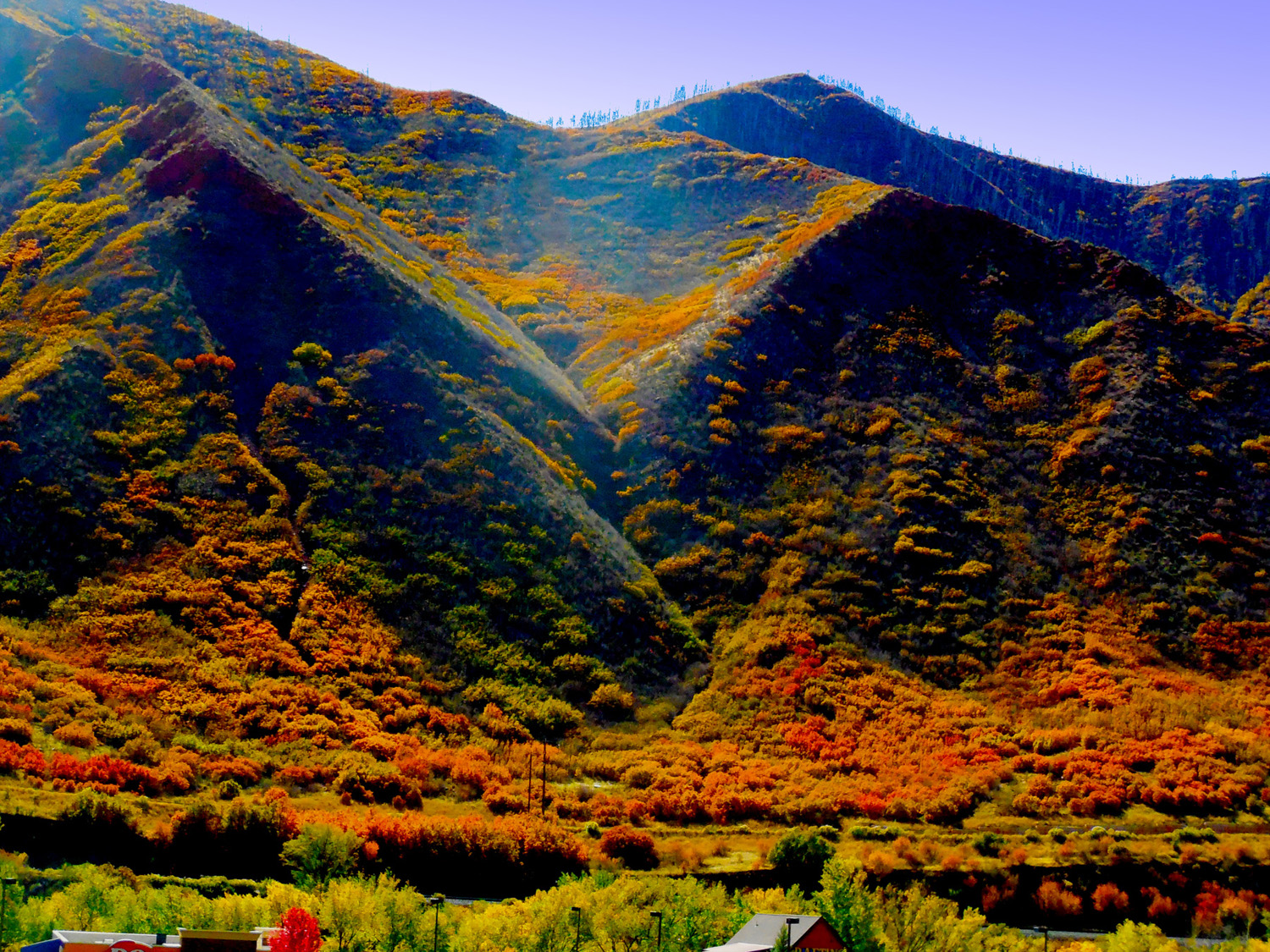
Mancos Valley of the Grand Hogback in early October
Oct 08 2017 - 12:56 pm
Oct 08 2017 - 12:56 pm
26 / 64
Tilted Mesozoic rocks
Feb 26 2017 - 2:29 pm
Feb 26 2017 - 2:29 pm
27 / 64
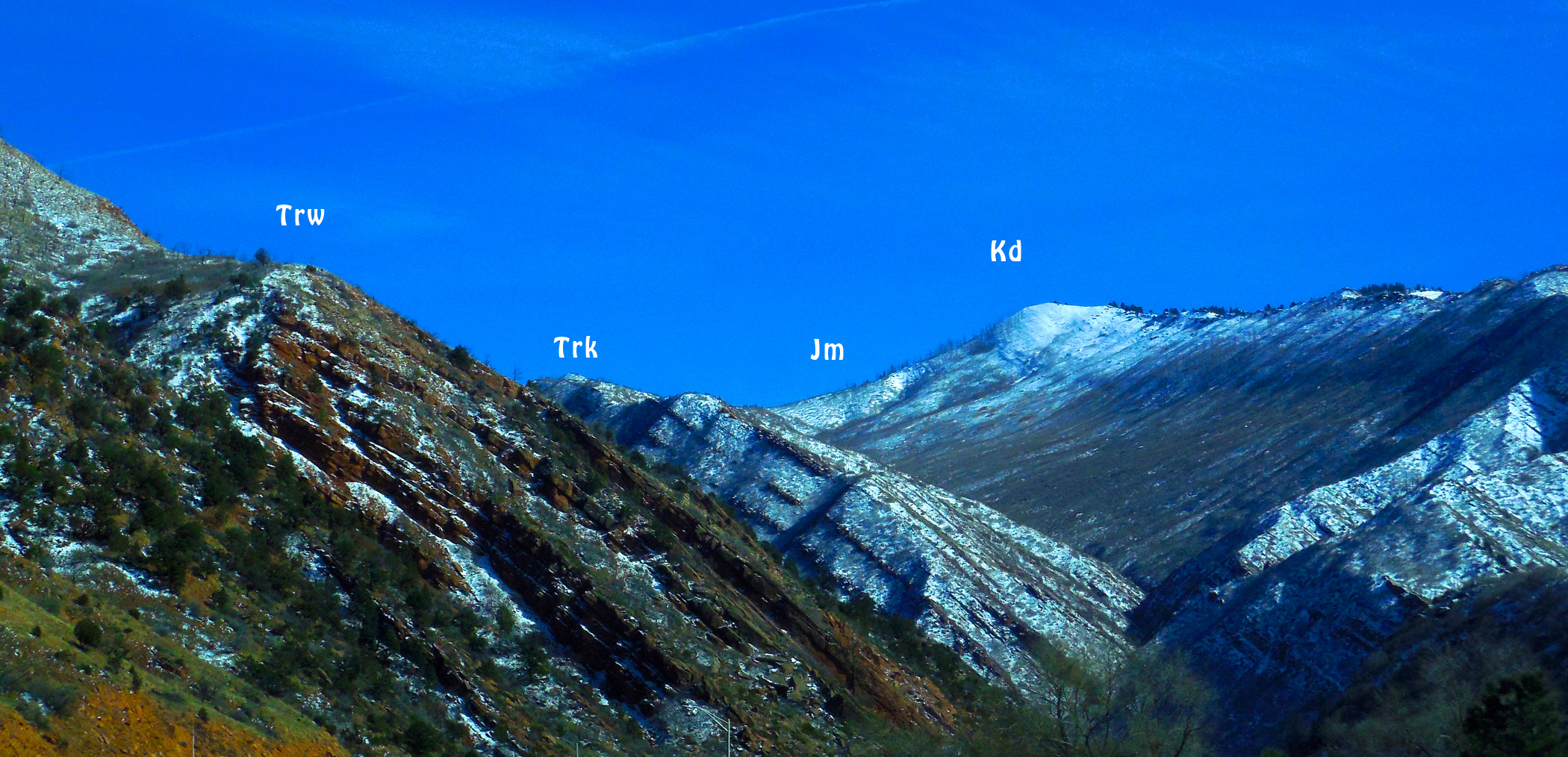
Geologic codes
Feb 26 2017 - 2:28 pm
Feb 26 2017 - 2:28 pm
28 / 64
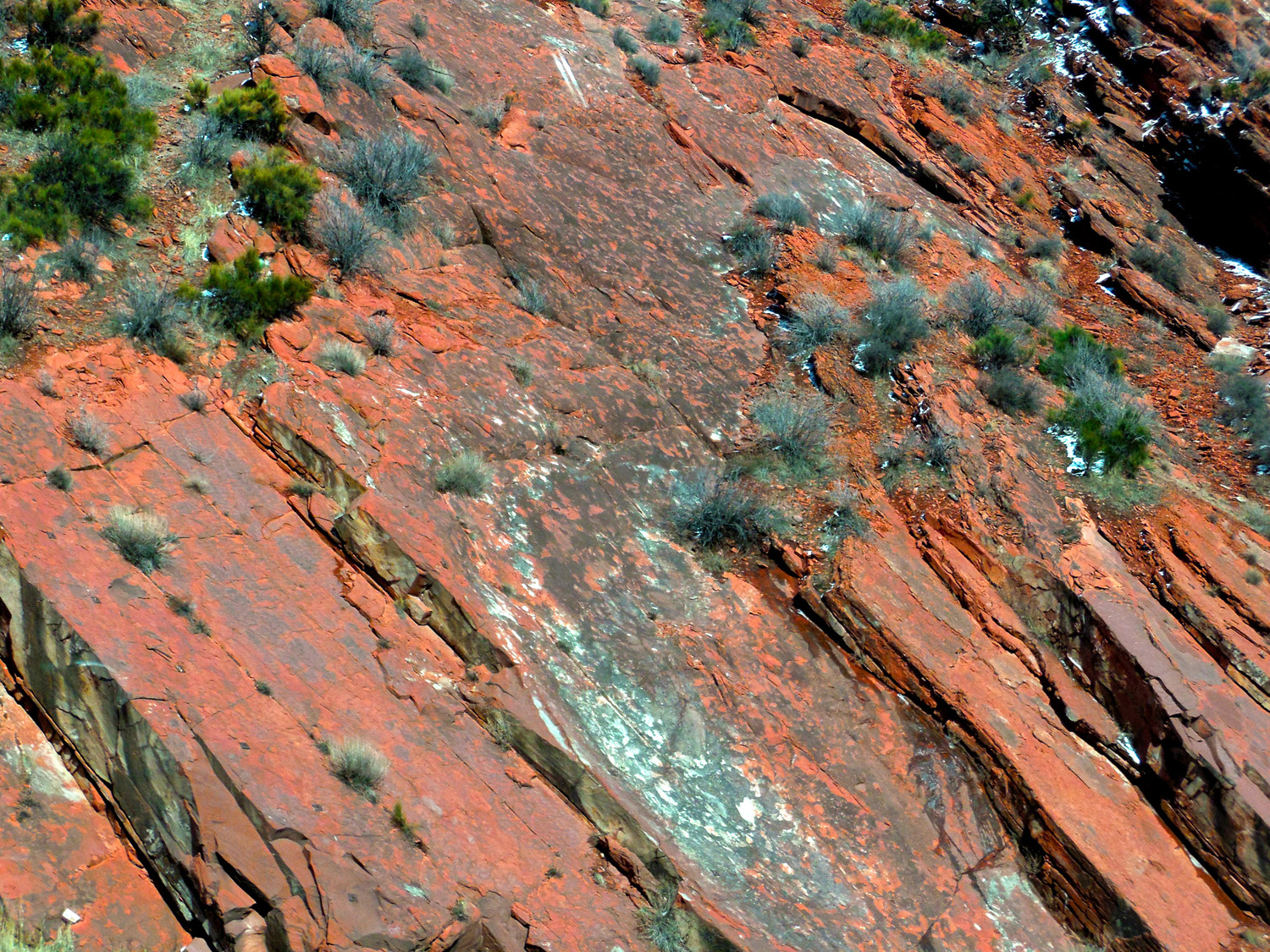
Tilted Sandstone (ancient sand dunes)
Feb 26 2017 - 2:27 pm
Feb 26 2017 - 2:27 pm
29 / 64
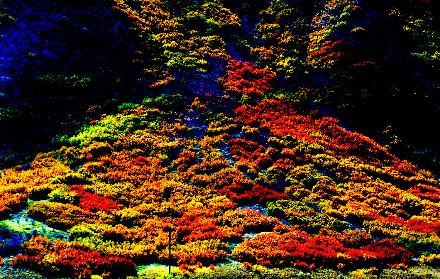
Special autumn light
Oct 08 2017 - 12:49 pm
Oct 08 2017 - 12:49 pm
30 / 64
Telephoto
Oct 08 2017 - 12:49 pm
Oct 08 2017 - 12:49 pm
31 / 64
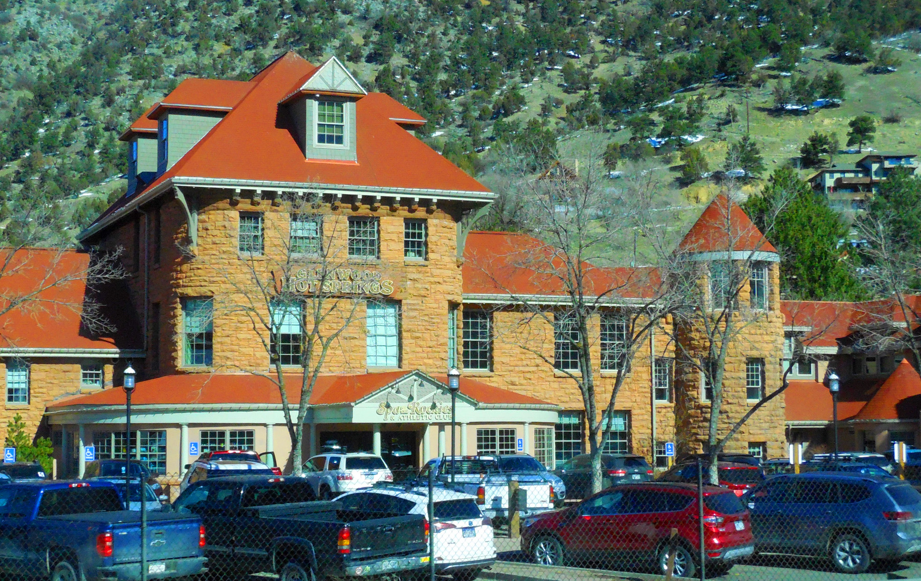
Glenwood Springs
Feb 28 2020 - 10:25 am
Feb 28 2020 - 10:25 am
32 / 64
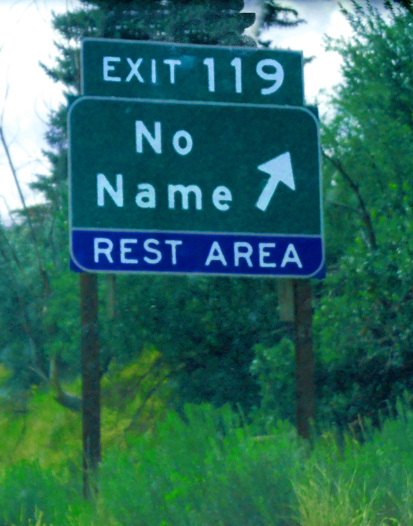
No Name (first exit in Glenwood Canyon)
Jul 13 2017 - 2:54 pm
Jul 13 2017 - 2:54 pm
33 / 64
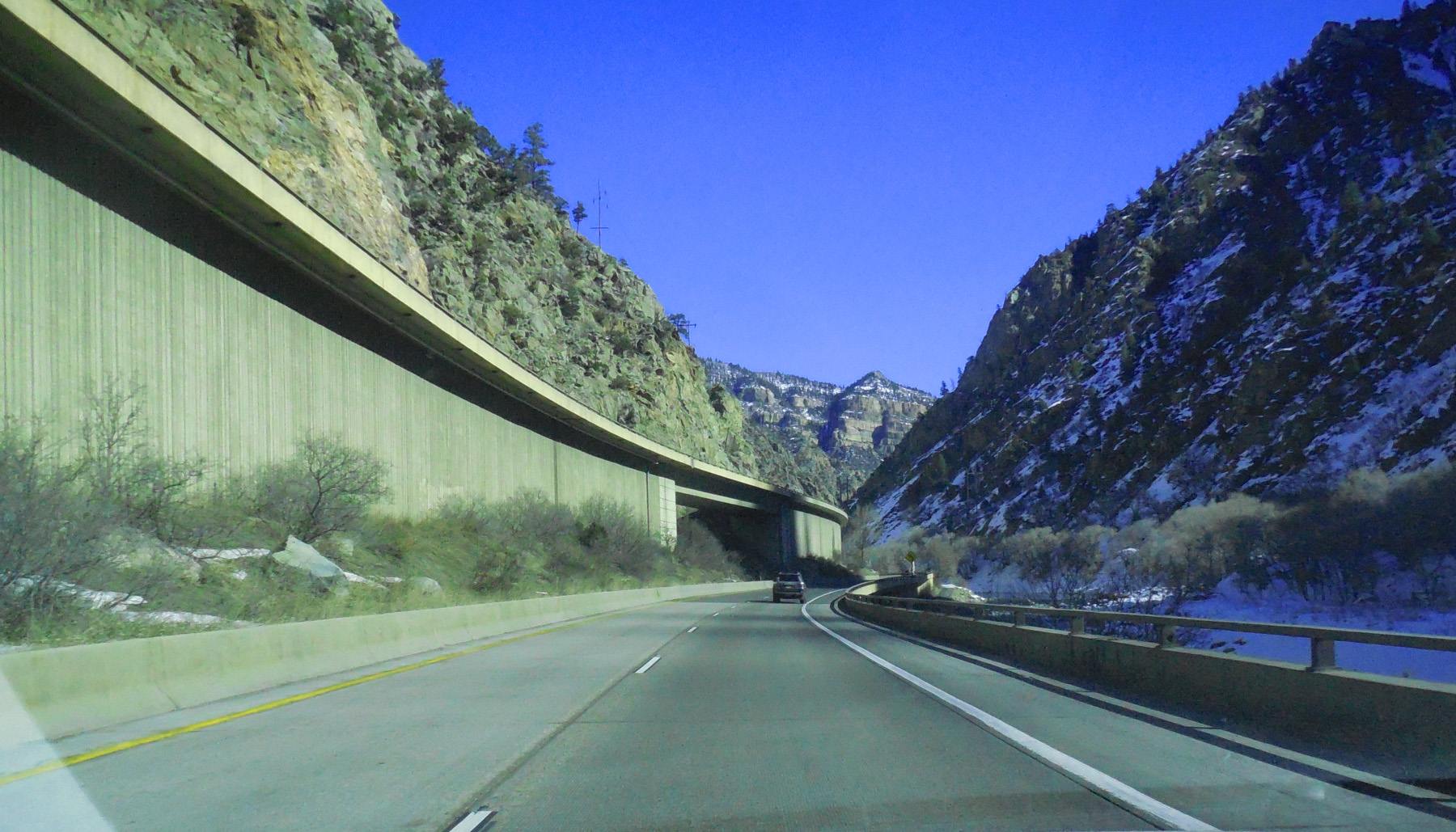
Engineering marvel (minimum enviromental impact for interstates, not nearly as much as the power station)
Feb 28 2020 - 10:30 am
Feb 28 2020 - 10:30 am
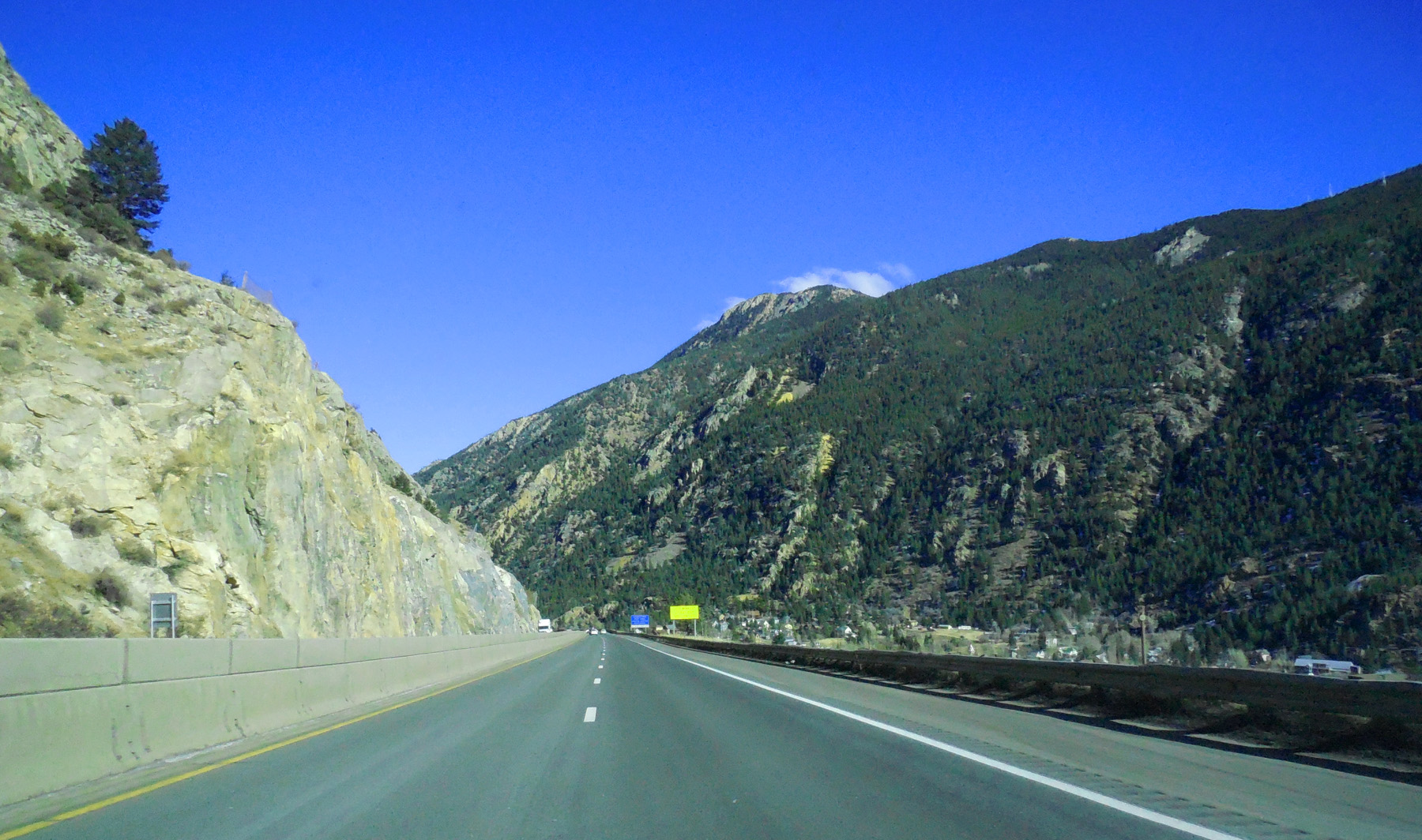
34 / 64
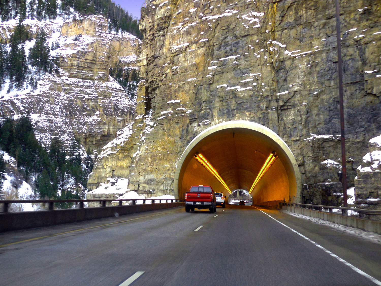
Tunnels
Dec 31 2016 - 4:43 pm
Dec 31 2016 - 4:43 pm
35 / 64
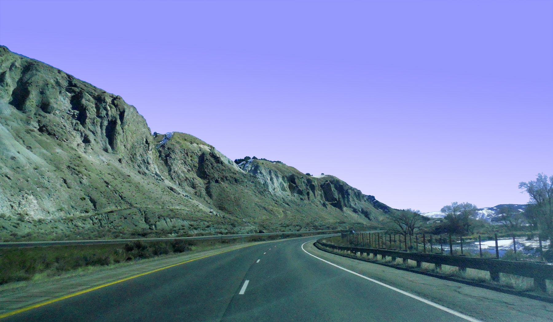
Early Paleozic rocks
Dec 31 2016 - 4:51 pm
Dec 31 2016 - 4:51 pm
36 / 64
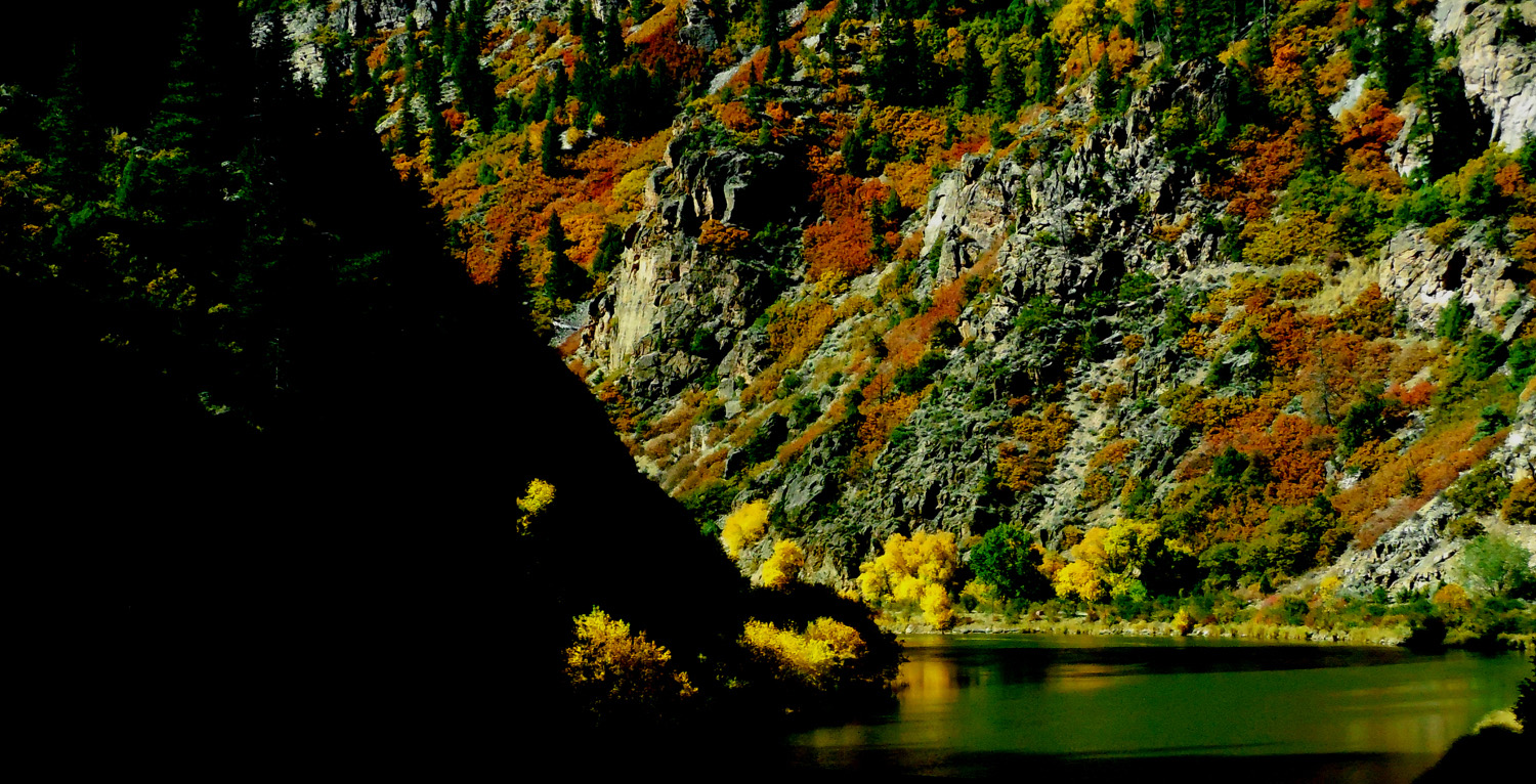
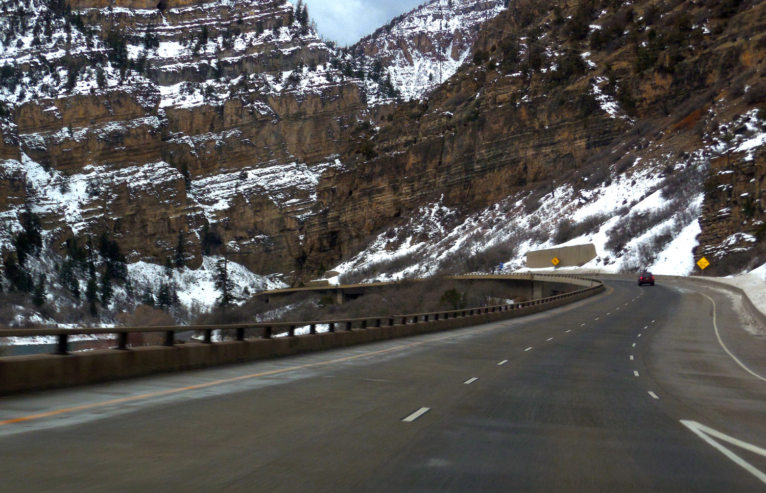
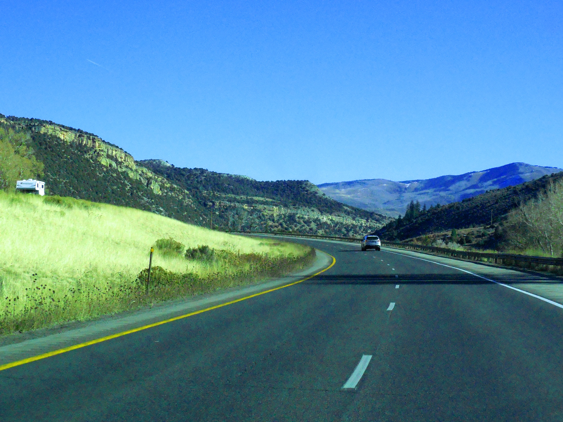
Glenwood Canyon in early October
Oct 08 2017 - 12:36 pm
Oct 08 2017 - 12:36 pm
37 / 64
I 70 and the Eagle River Valley at Dotsero (from Coffee Pot Road)
May 15 2013 - 10:56 am
May 15 2013 - 10:56 am
38 / 64
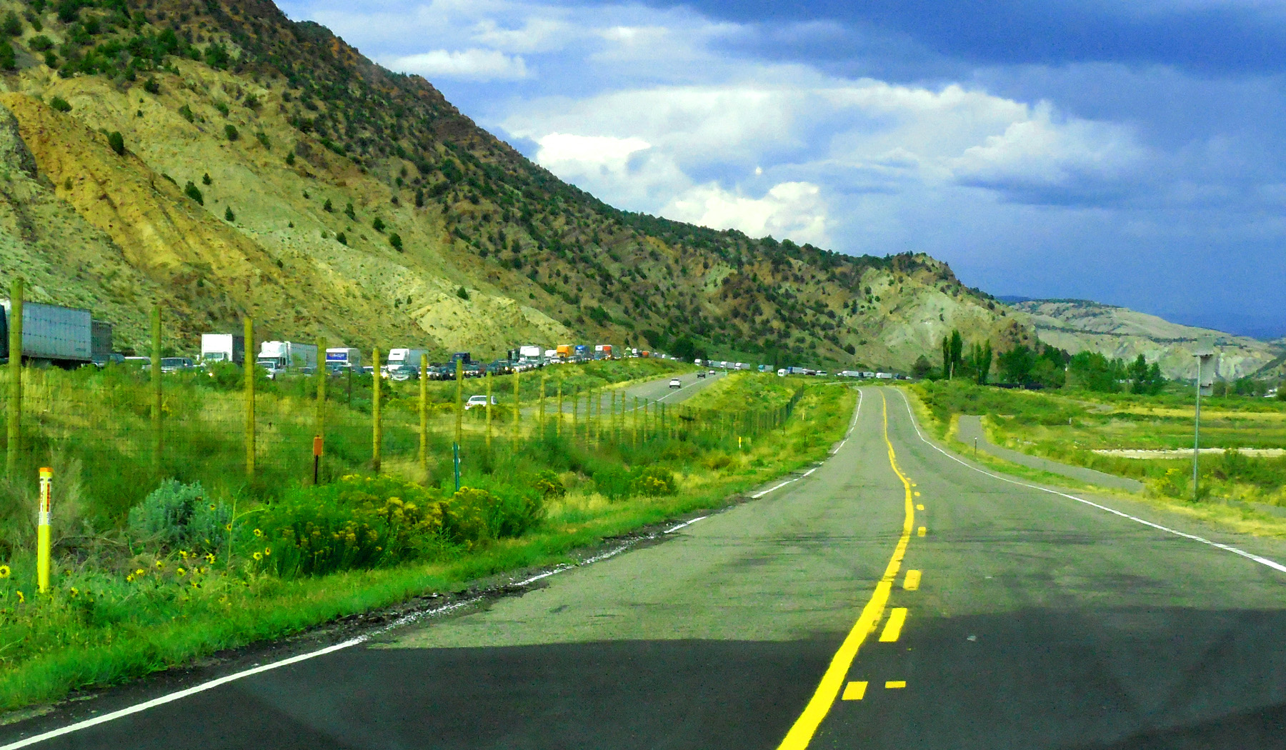
10 hour closure of I 70 (it took that long to roundup 80 pigs from an overturned truck in Glenwood Canyon)
Sep 11 2017 - 5:49 pm
Sep 11 2017 - 5:49 pm
39 / 64
Pennslvanian-Permain gypsum deposits along the Eagle River
Feb 28 2020 - 10:49 am
Feb 28 2020 - 10:49 am
40 / 64
Mountain basin (Cretaceous rocks survive in basins, stripped from pre-Cambrian cored ranges)
Nov 12 2019 - 11:42 am
Nov 12 2019 - 11:42 am
41 / 64
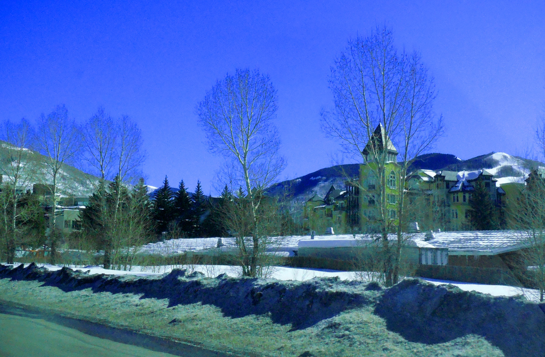
Downtown Vail behind backlit leafless trees
Feb 28 2020 - 11:19 am
Feb 28 2020 - 11:19 am
42 / 64
Coming into Vail: Eagles Nest of the Gore Range in background
Feb 28 2020 - 11:21 am
Feb 28 2020 - 11:21 am
43 / 64
Mountain of the Holy Cross (14,005' in the Sawatch Range)
Feb 28 2020 - 11:34 am
Feb 28 2020 - 11:34 am
44 / 64
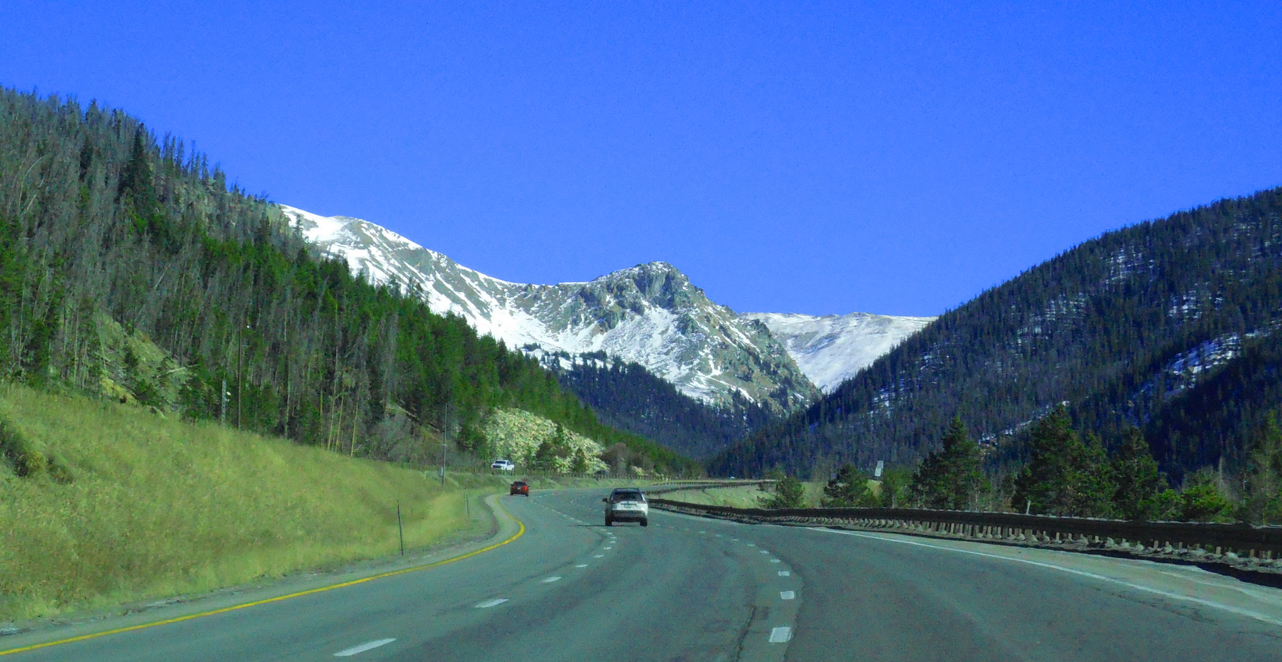
South end of the Gore Range
Nov 12 2019 - 12:31 pm
Nov 12 2019 - 12:31 pm
45 / 64
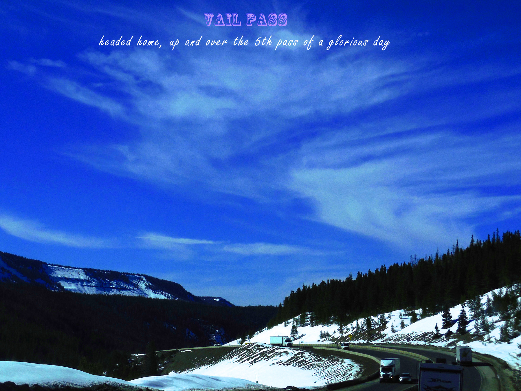
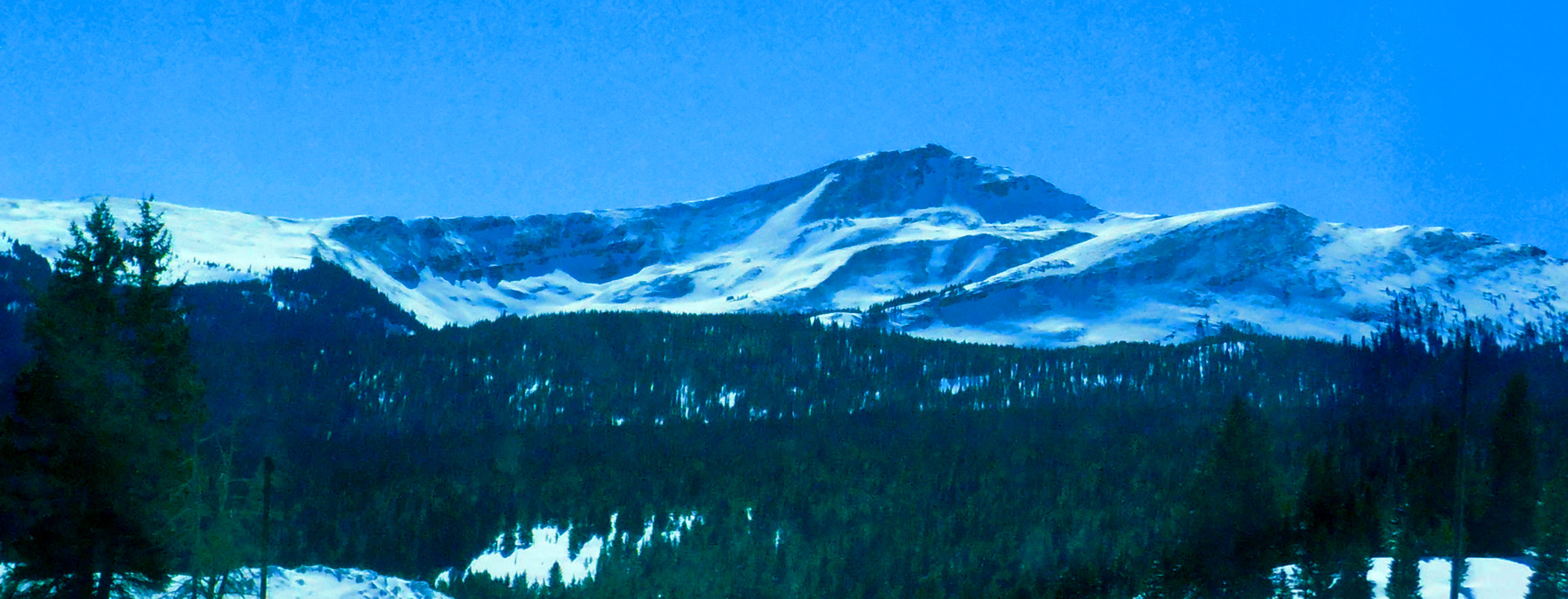
Vail Pass (10,666')
Apr 06 2017 - 4:09 pm
Apr 06 2017 - 4:09 pm
46 / 64
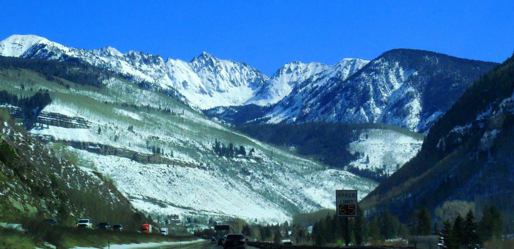
Approaching the Blue River Valley
Feb 28 2020 - 11:43 am
Feb 28 2020 - 11:43 am
47 / 64
Torreys Peak (14,267') and Grays Peak (14,270')
Apr 06 2017 - 3:55 pm
Apr 06 2017 - 3:55 pm
48 / 64
Different weather
Dec 31 2016 - 3:35 pm
Dec 31 2016 - 3:35 pm
49 / 64
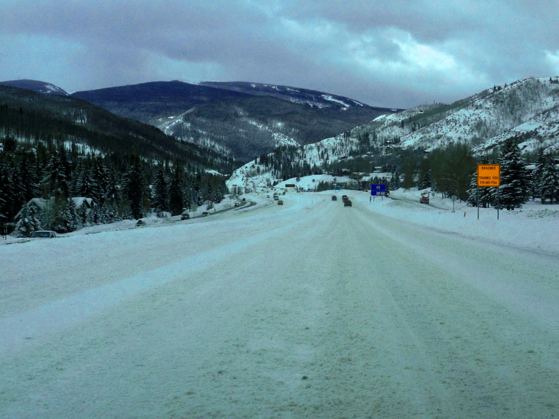
Front Range
Nov 30 2017 - 4:14 pm
Nov 30 2017 - 4:14 pm
50 / 64
Later today I 70 was closed (avalanches)
Jan 08 2017 - 3:19 pm
Jan 08 2017 - 3:19 pm
51 / 64
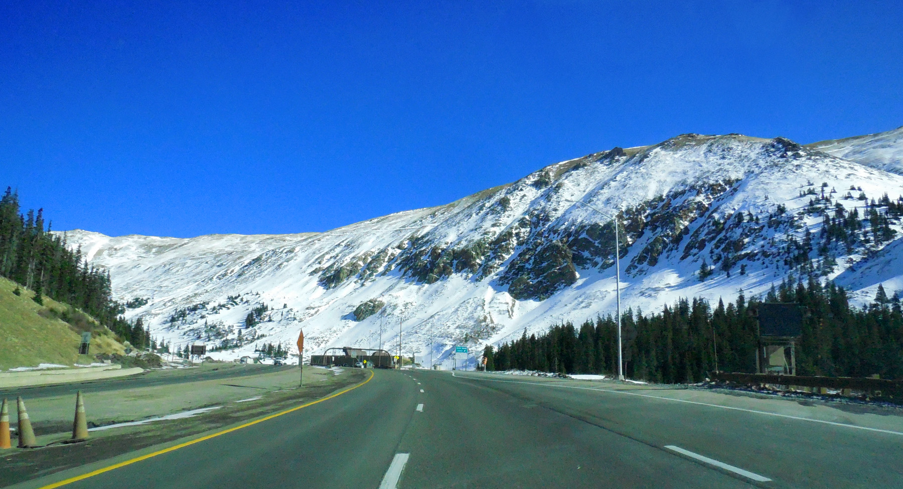
Eisenhower Tunnel (1.7 miles through the crest of the Front Range)
Nov 12 2019 - 12:34 pm
Nov 12 2019 - 12:34 pm
52 / 64
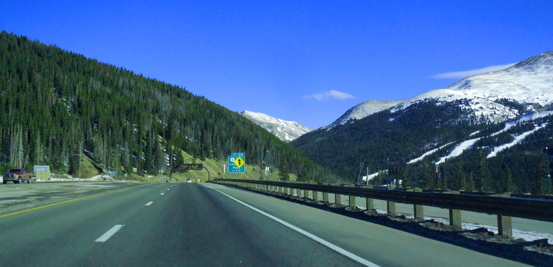
US 6 exit recommended over for a loop back to I 70 over Loveland Pass (if open and clear)
Nov 12 2019 - 12:37 pm
Nov 12 2019 - 12:37 pm
53 / 64
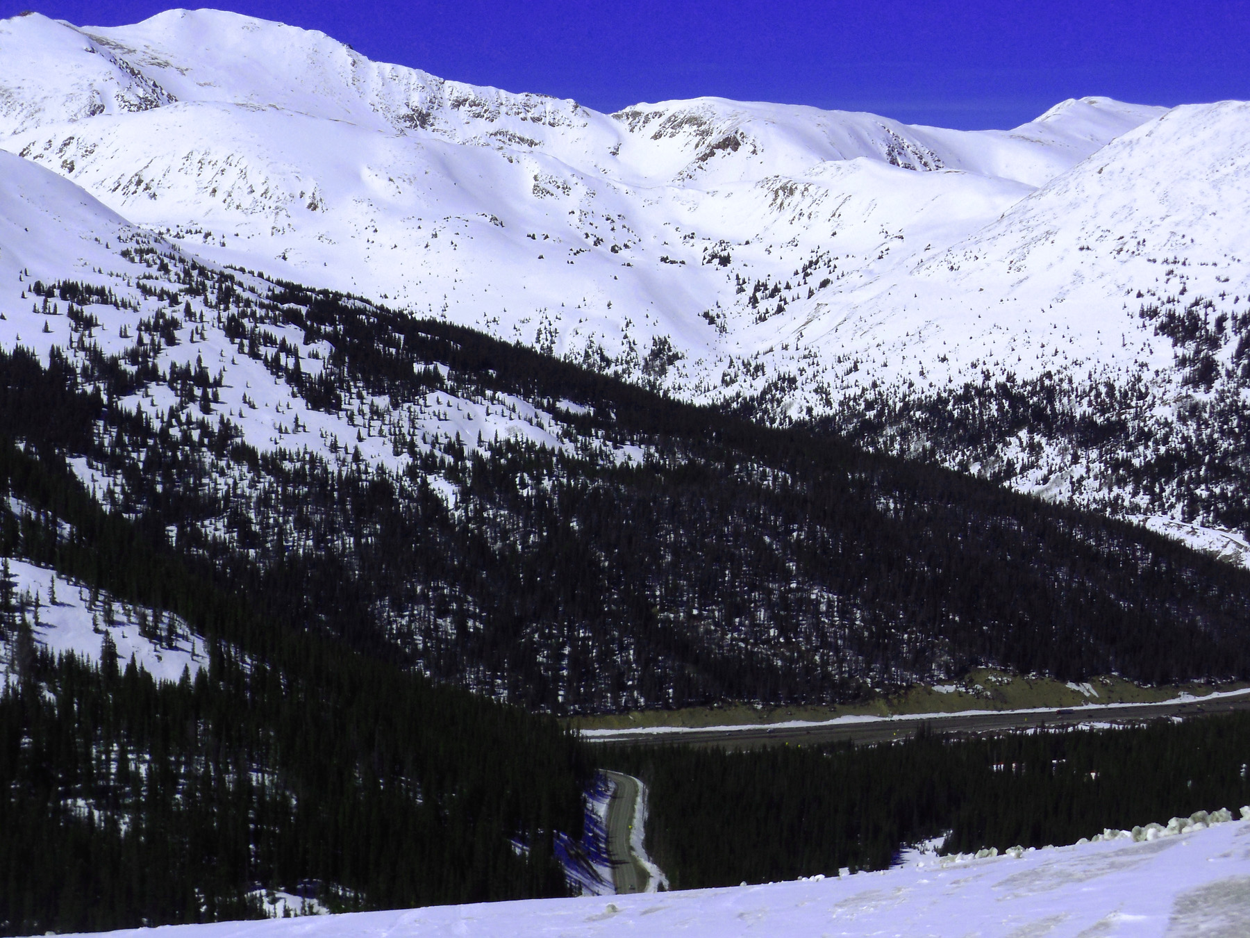
The same road far below
Apr 06 2017 - 3:55 pm
Apr 06 2017 - 3:55 pm
54 / 64
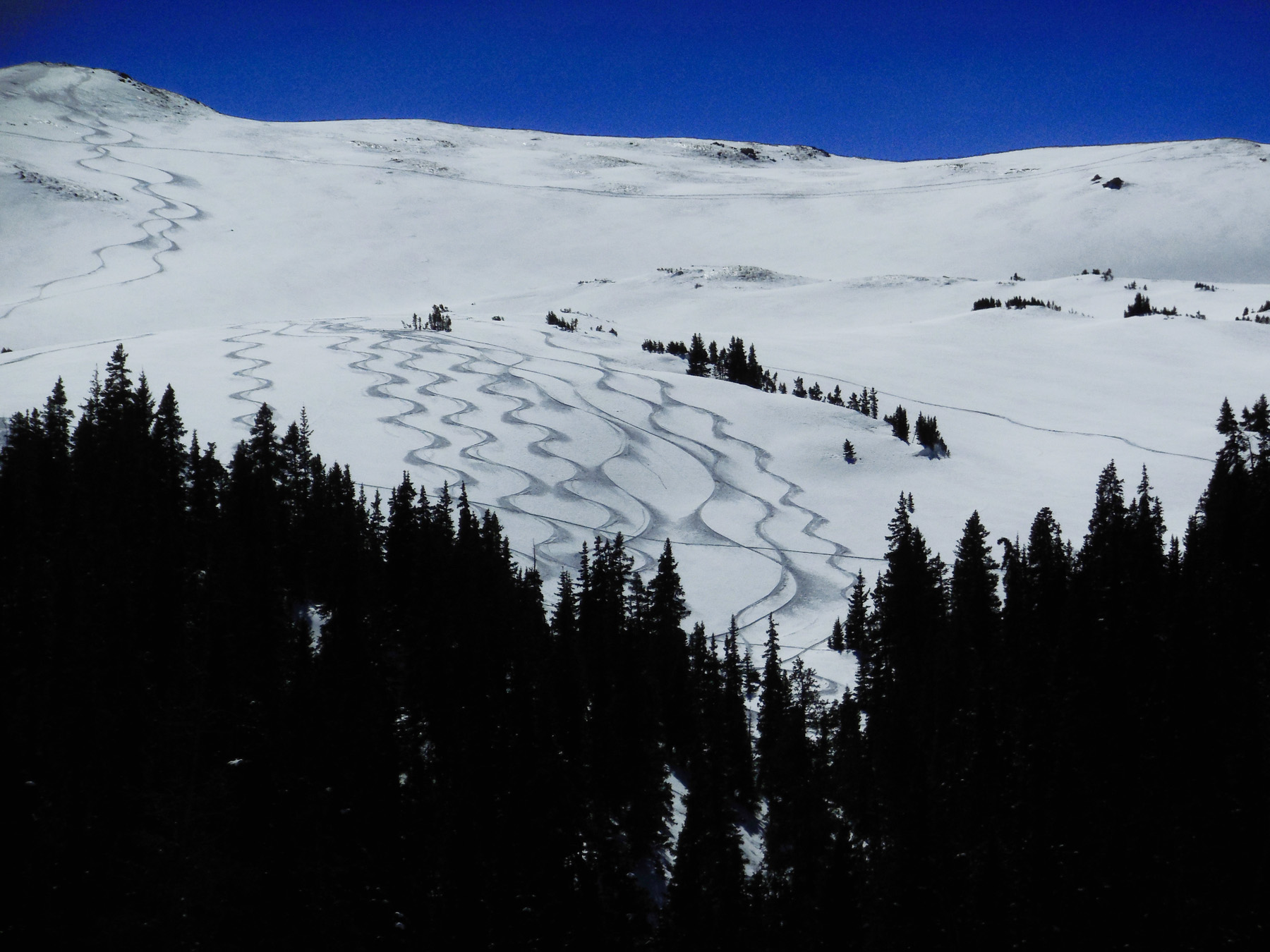
Perfect sine curves
Apr 06 2017 - 2:54 pm
Apr 06 2017 - 2:54 pm
55 / 64
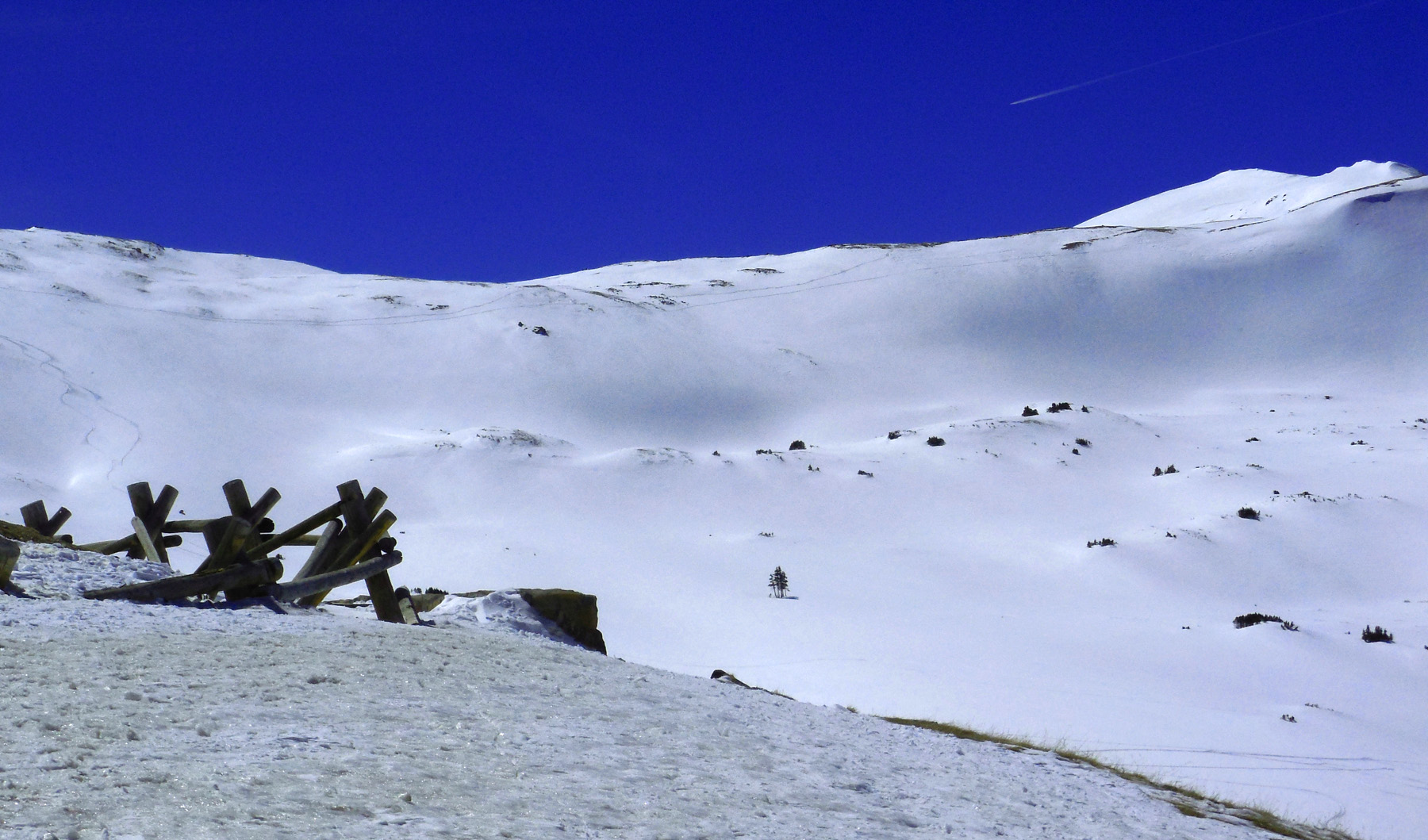
Almost at the pass
Apr 06 2017 - 2:43 pm
Apr 06 2017 - 2:43 pm
56 / 64

Loveland Pass
Nov 30 2017 - 3:39 pm
Nov 30 2017 - 3:39 pm
57 / 64
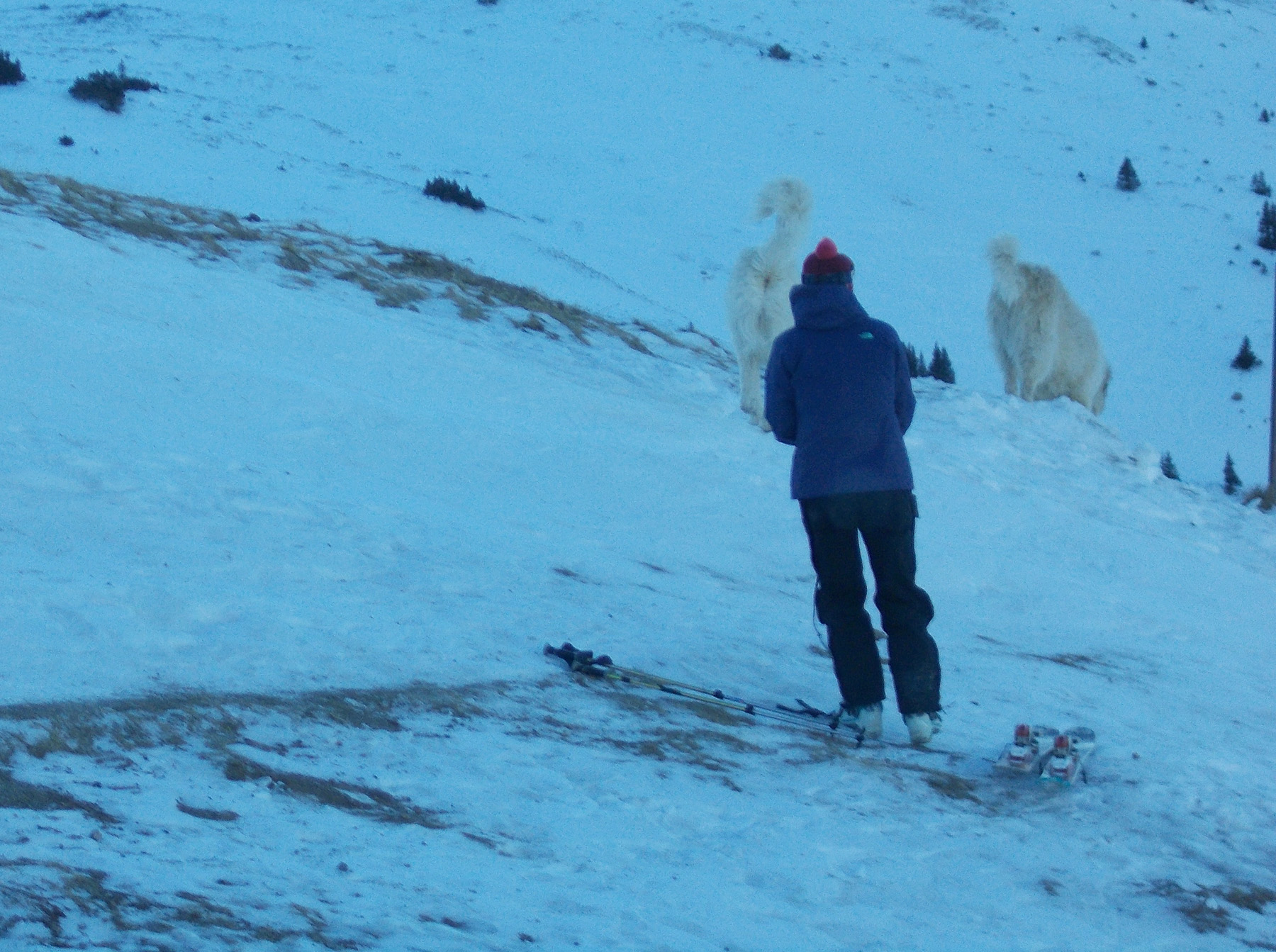
Only skilled skiers and boarders (Great Pyrenees allowed)
Apr 06 2017 - 3:40 pm
Apr 06 2017 - 3:40 pm
58 / 64
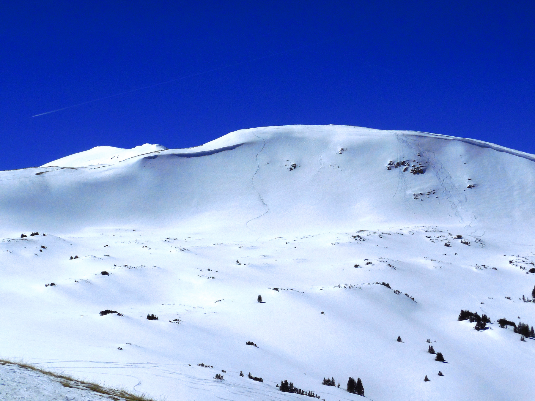
Human tracks everywhere
Apr 06 2017 - 2:43 pm
Apr 06 2017 - 2:43 pm
59 / 64
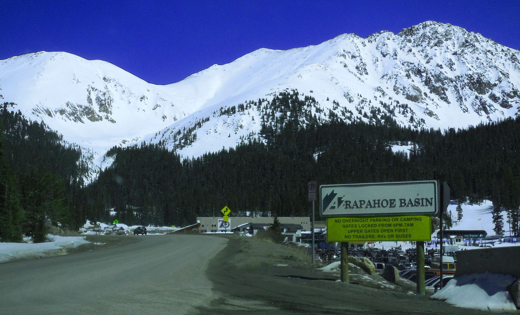
Arapahoe Ski Basin
Apr 06 2017 - 3:28 pm
Apr 06 2017 - 3:28 pm
60 / 64
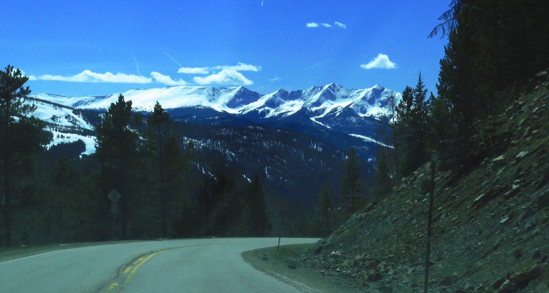
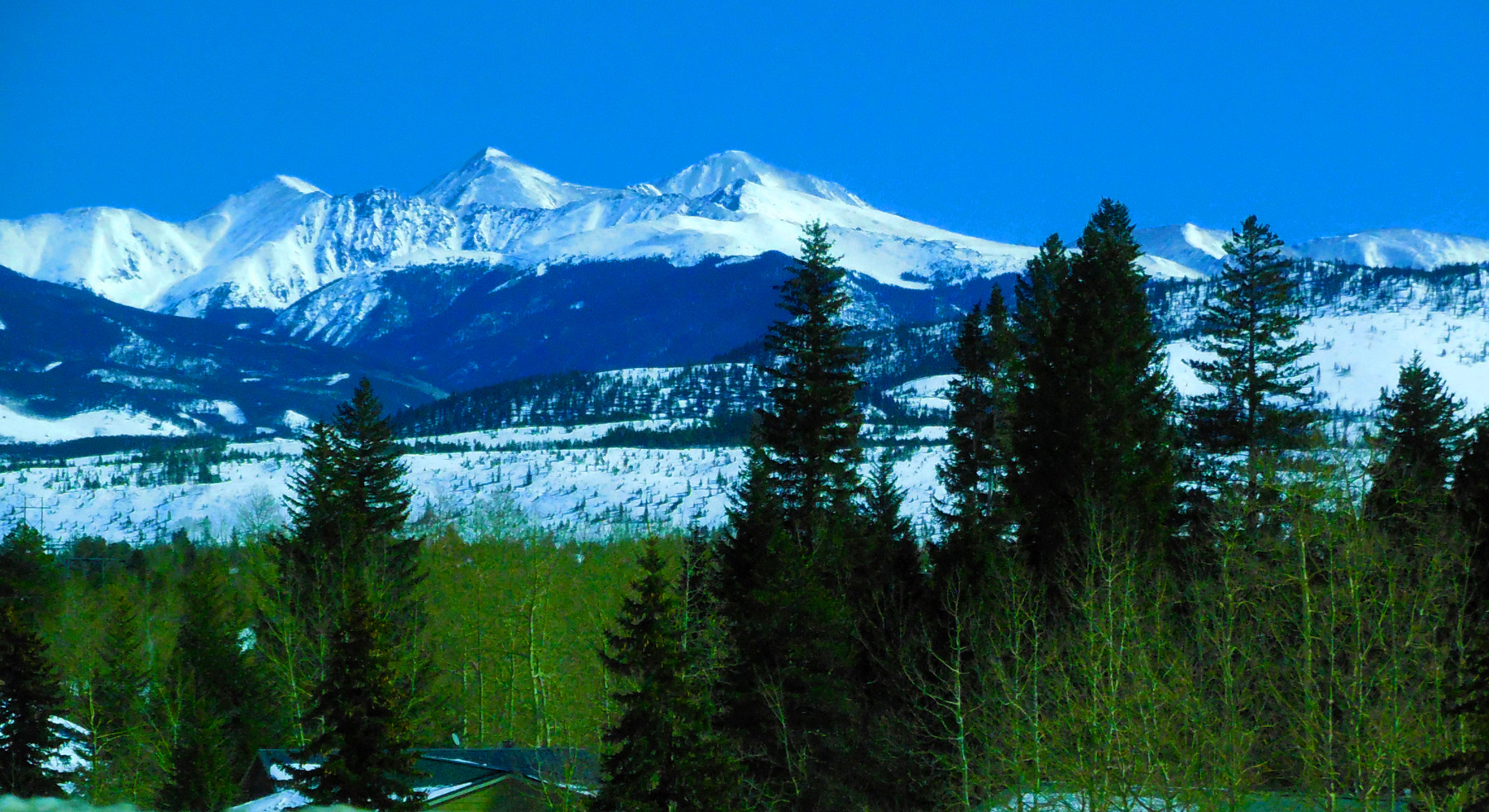
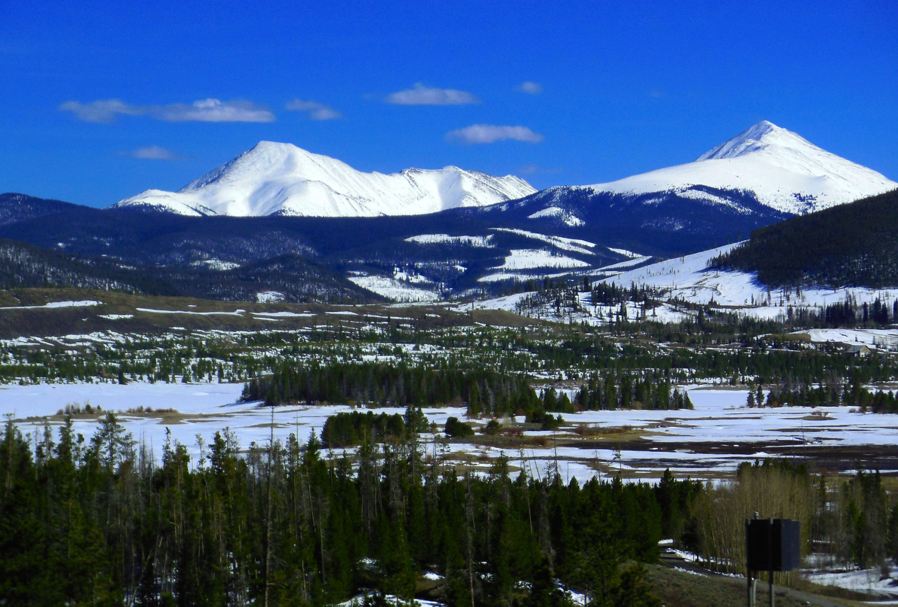
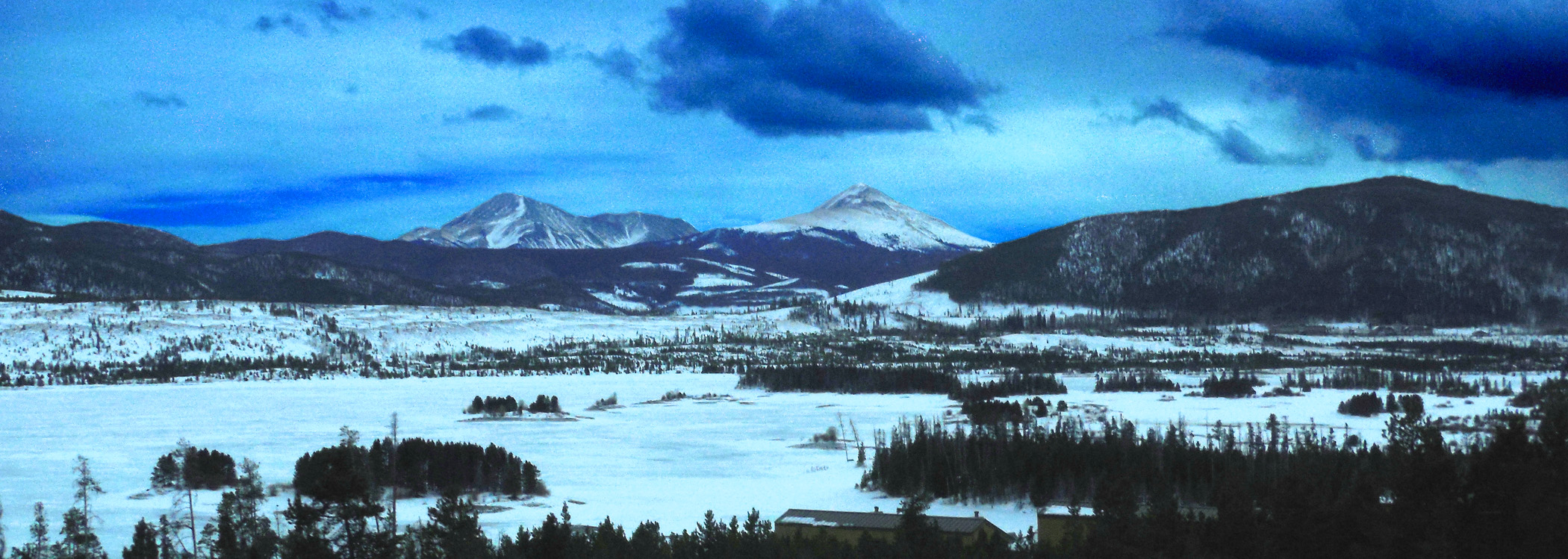
Ten Mile Range
Apr 06 2017 - 3:19 pm
Apr 06 2017 - 3:19 pm
61 / 64
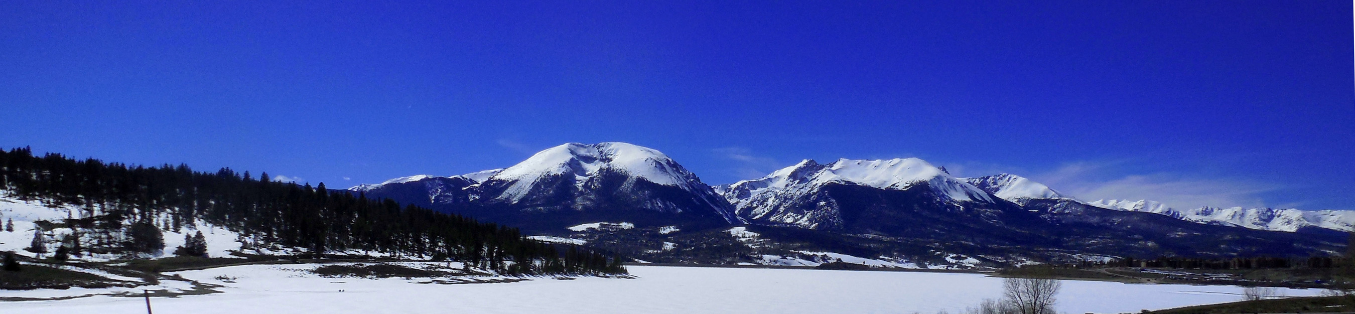
Buffalo Mountain (12,777'), Red Peak (13,189') and south Gore Range
Apr 06 2017 - 3:28 pm
Apr 06 2017 - 3:28 pm
62 / 64
The rest of the Front Range
Nov 12 2019 - 12:46 pm
Nov 12 2019 - 12:46 pm
63 / 64
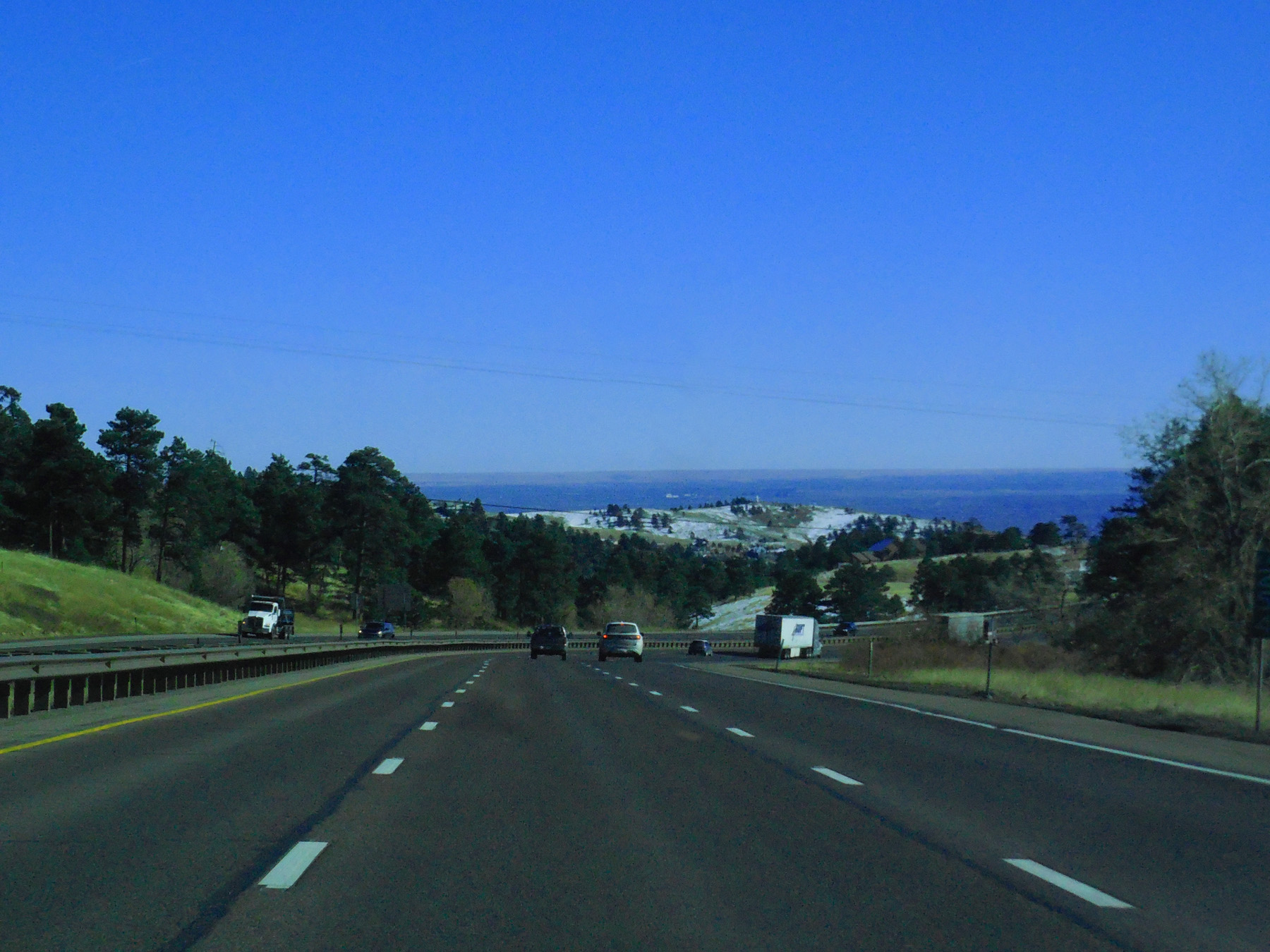
Is a long slope to the Great Plains
Nov 12 2019 - 1:10 pm
Nov 12 2019 - 1:10 pm
64 / 64

End of US 6, I 70 through the Colorado Rockies
I 25 in Denver
I 25 in Denver