58 Slides
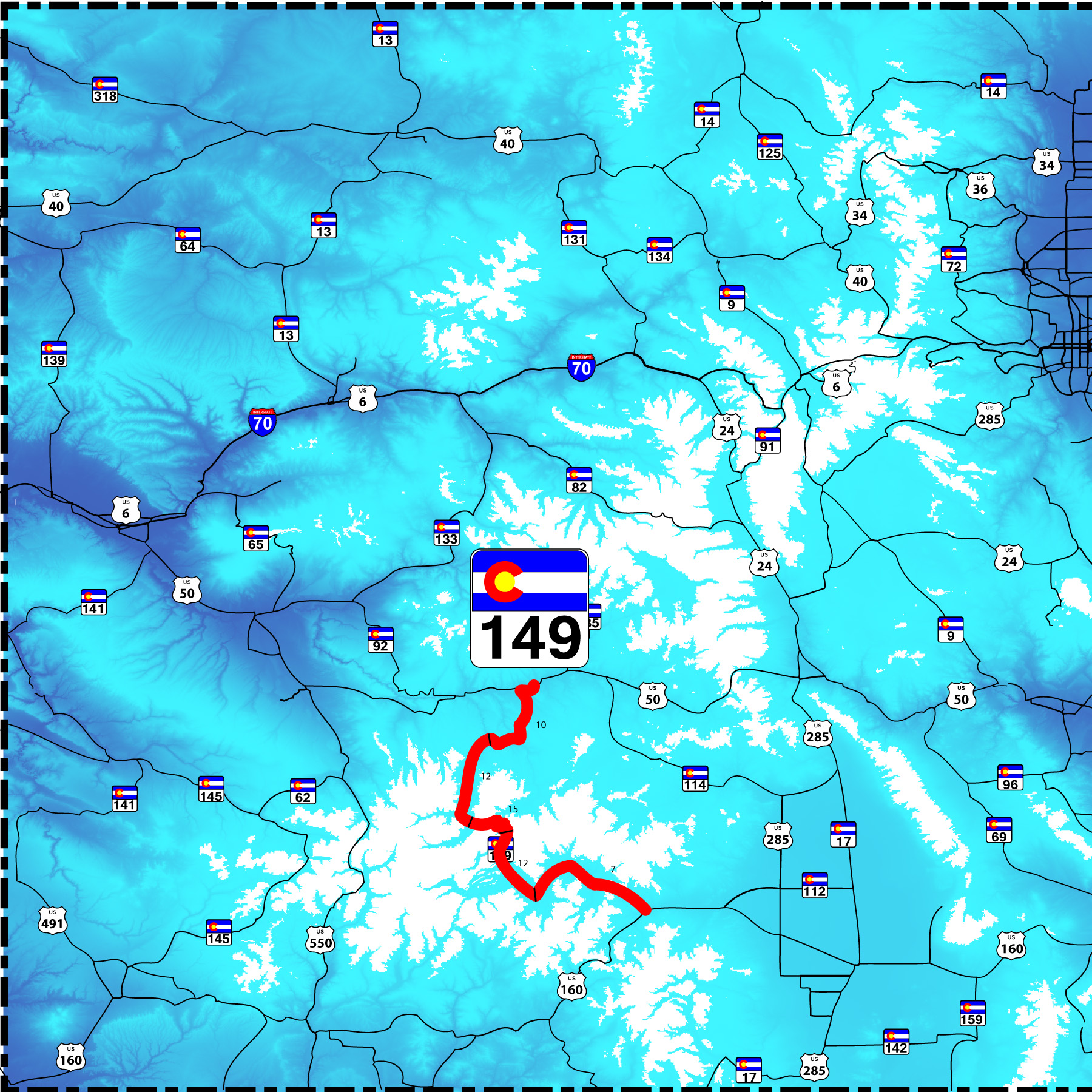
Up and over the San Juan Mountains
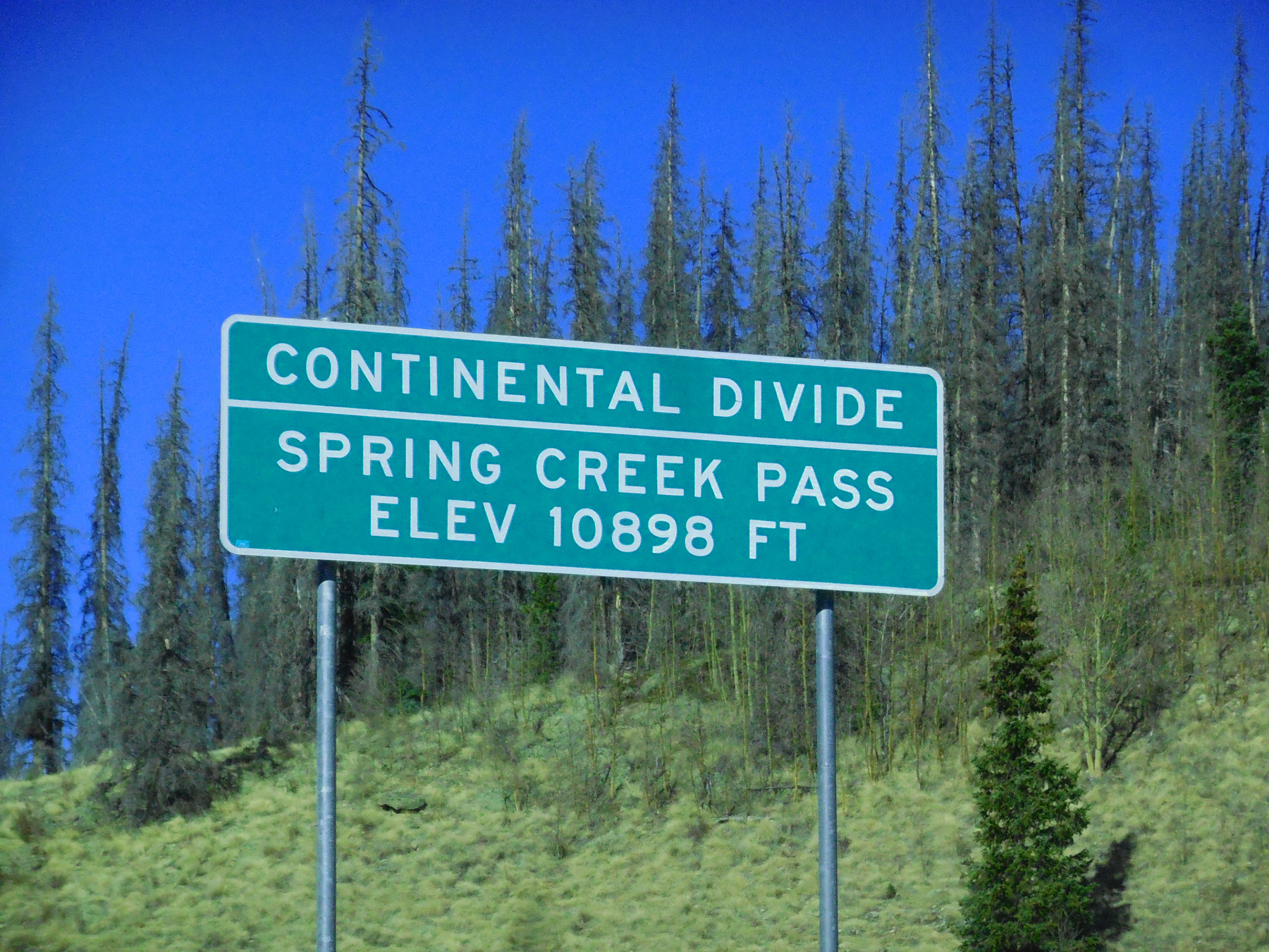
Road Index or use your browser "back" arrow or function 1 minute cycle: please choose another user-controlled 2 seconds 5 seconds 10 seconds 30 seconds
1 / 58
2 / 58
North end, US 50 at bridge over the Gunnison River at the end of Blue Mesa Reservoir
Nov 05 2020 - 12:34 pm
Nov 05 2020 - 12:34 pm
3 / 58
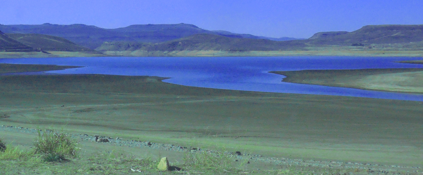
Blue Mesa Reservior (low in November after the irrigation season and before the spring snow melt)
Nov 05 2020 - 12:35 pm
Nov 05 2020 - 12:35 pm
4 / 58
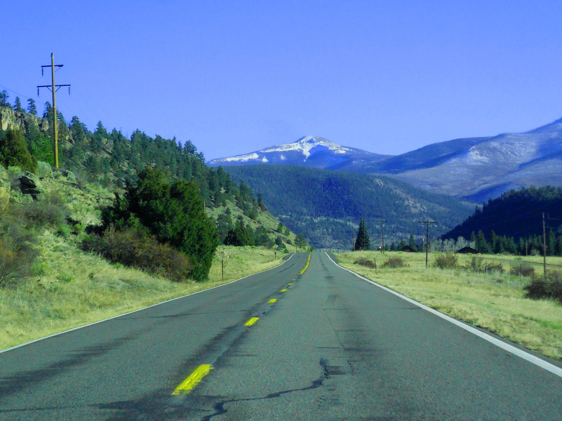
San Luis Peak (14,074')
Nov 05 2020 - 12:47 pm
Nov 05 2020 - 12:47 pm
5 / 58
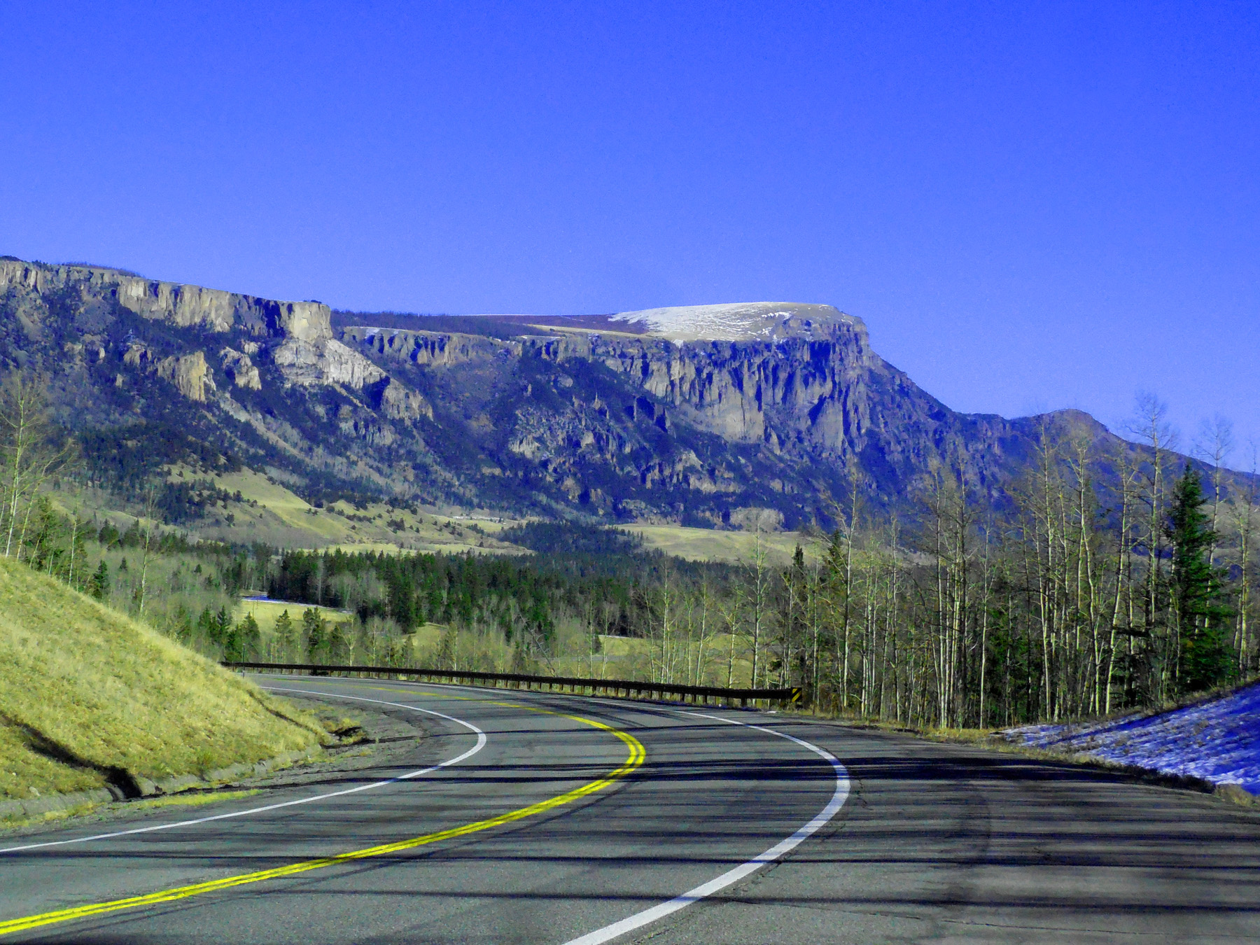
Volcanic Plateau ~8,500'
Nov 05 2020 - 12:52 pm
Nov 05 2020 - 12:52 pm
6 / 58
La Garita Mountains from left: Baldy Chato (13,401'), Stewart Peak (13,983'), Baldy Allo (13,698'), San Luis Peak (14,074')
Nov 05 2020 - 12:55 pm
Nov 05 2020 - 12:55 pm
7 / 58
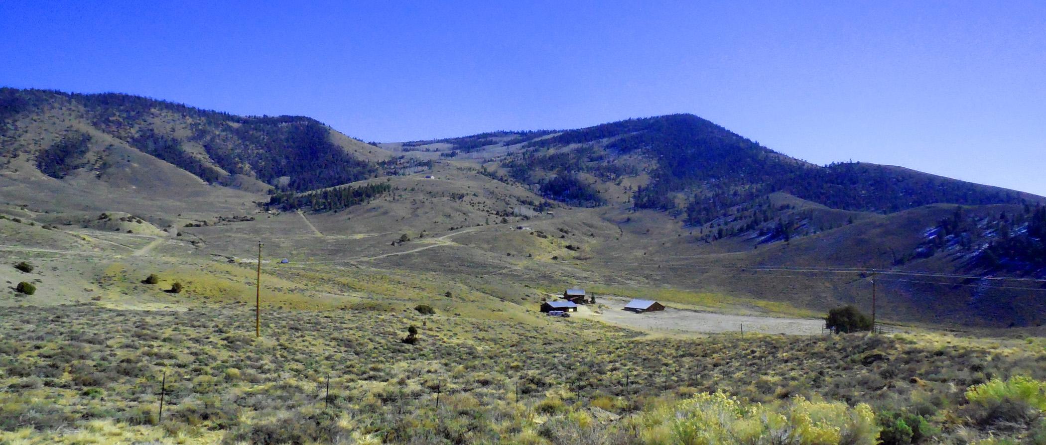
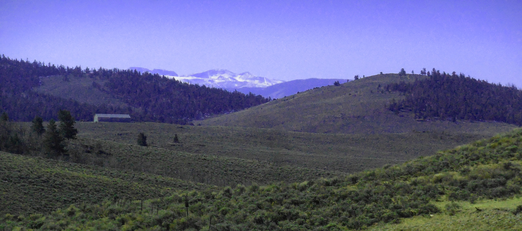
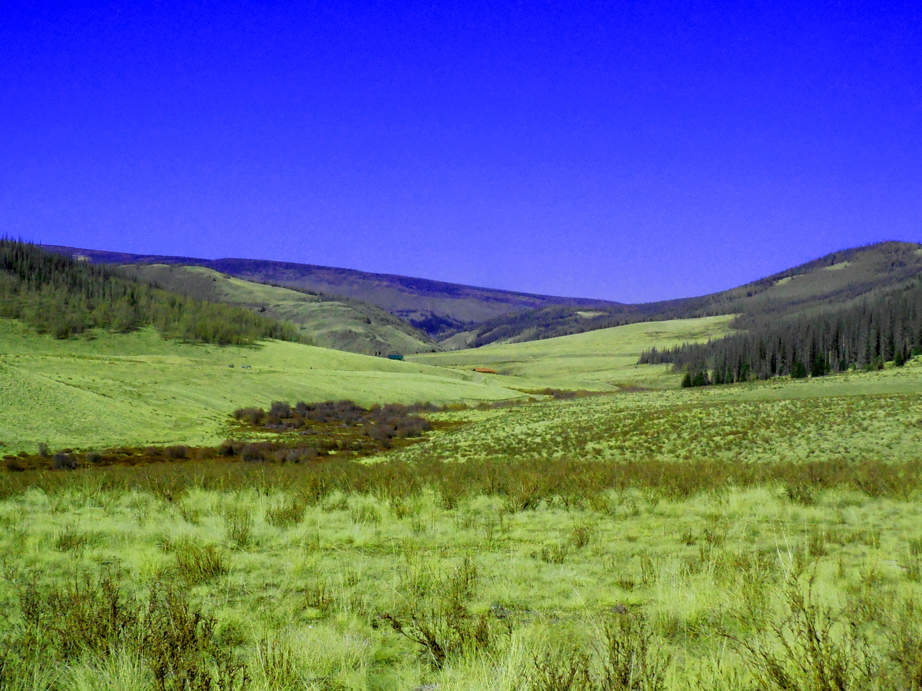
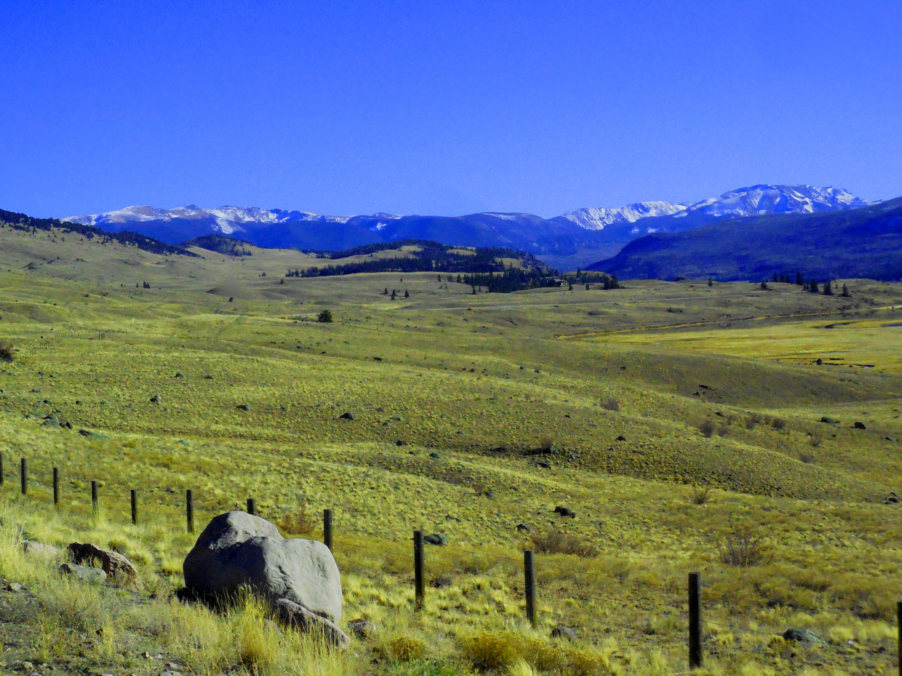
Mountain Ranch
Nov 05 2020 - 12:58 pm
Nov 05 2020 - 12:58 pm
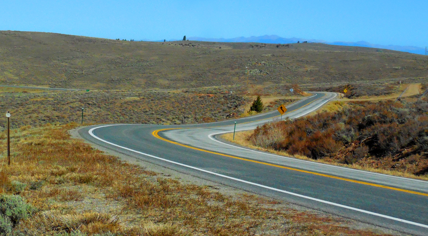
8 / 58
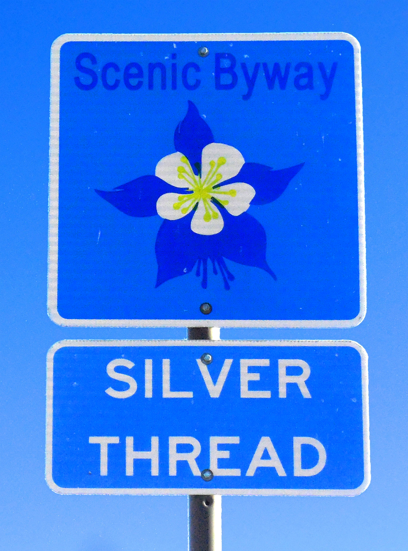
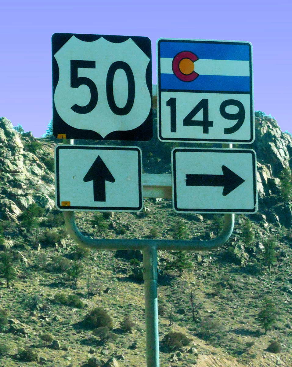
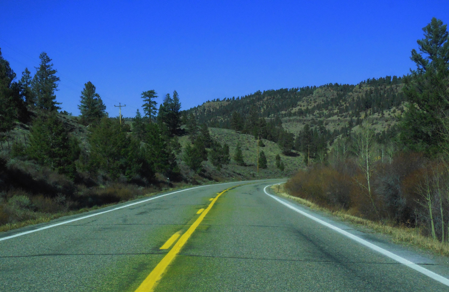
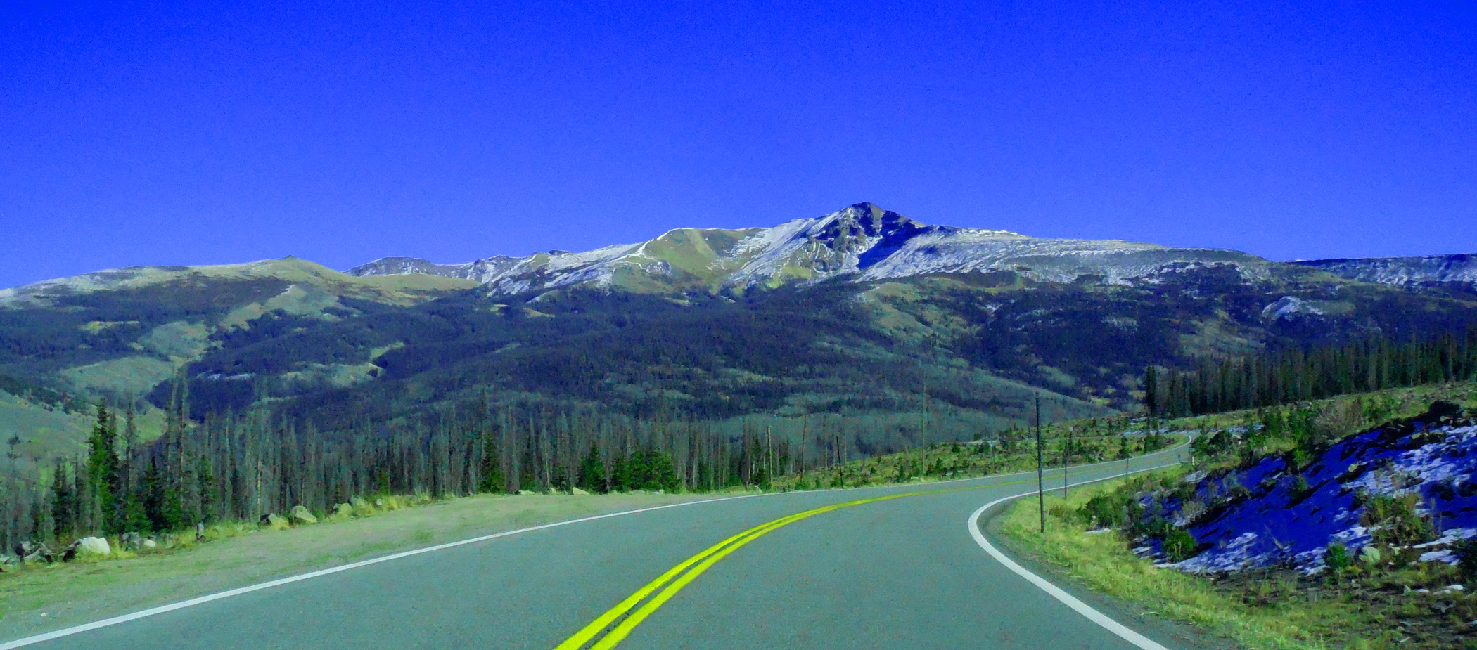
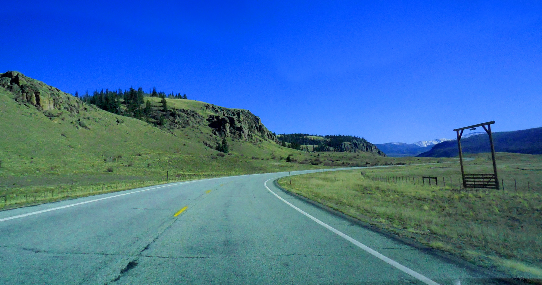
CO 149 - Silver Thread Scenic Byway
Nov 05 2020 - 3:54 pm
Nov 05 2020 - 3:54 pm
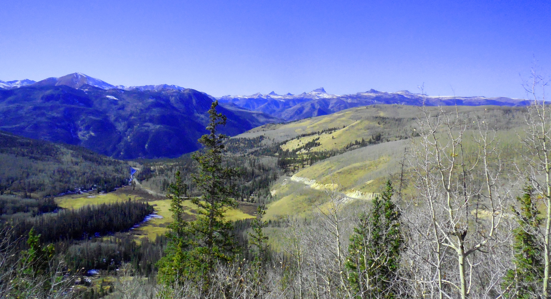
9 / 58
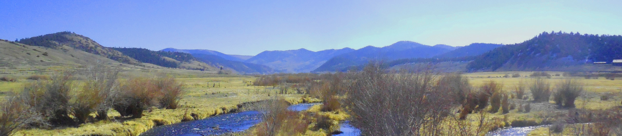
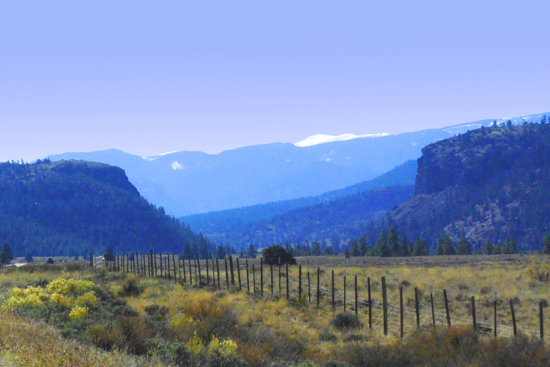
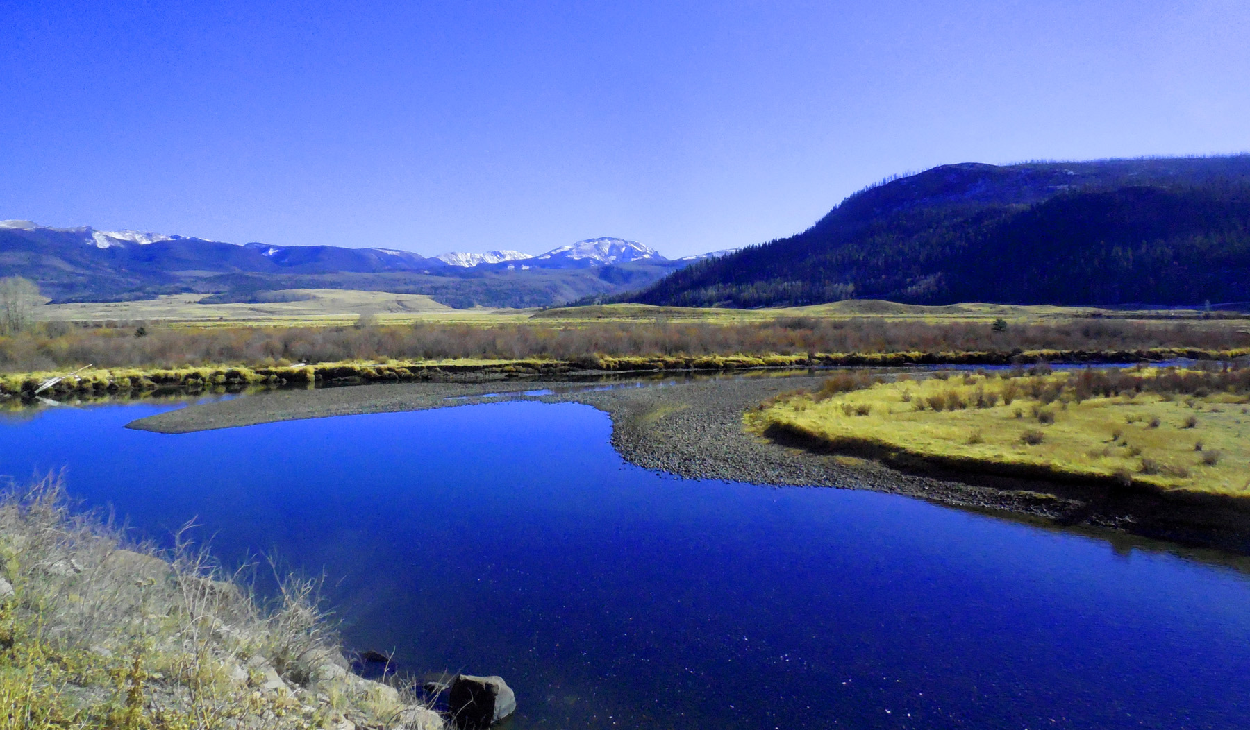
Cebolla Creek Valley
Nov 05 2020 - 1:00 pm
Nov 05 2020 - 1:00 pm
10 / 58
Telephoto
Nov 05 2020 - 1:01 pm
Nov 05 2020 - 1:01 pm
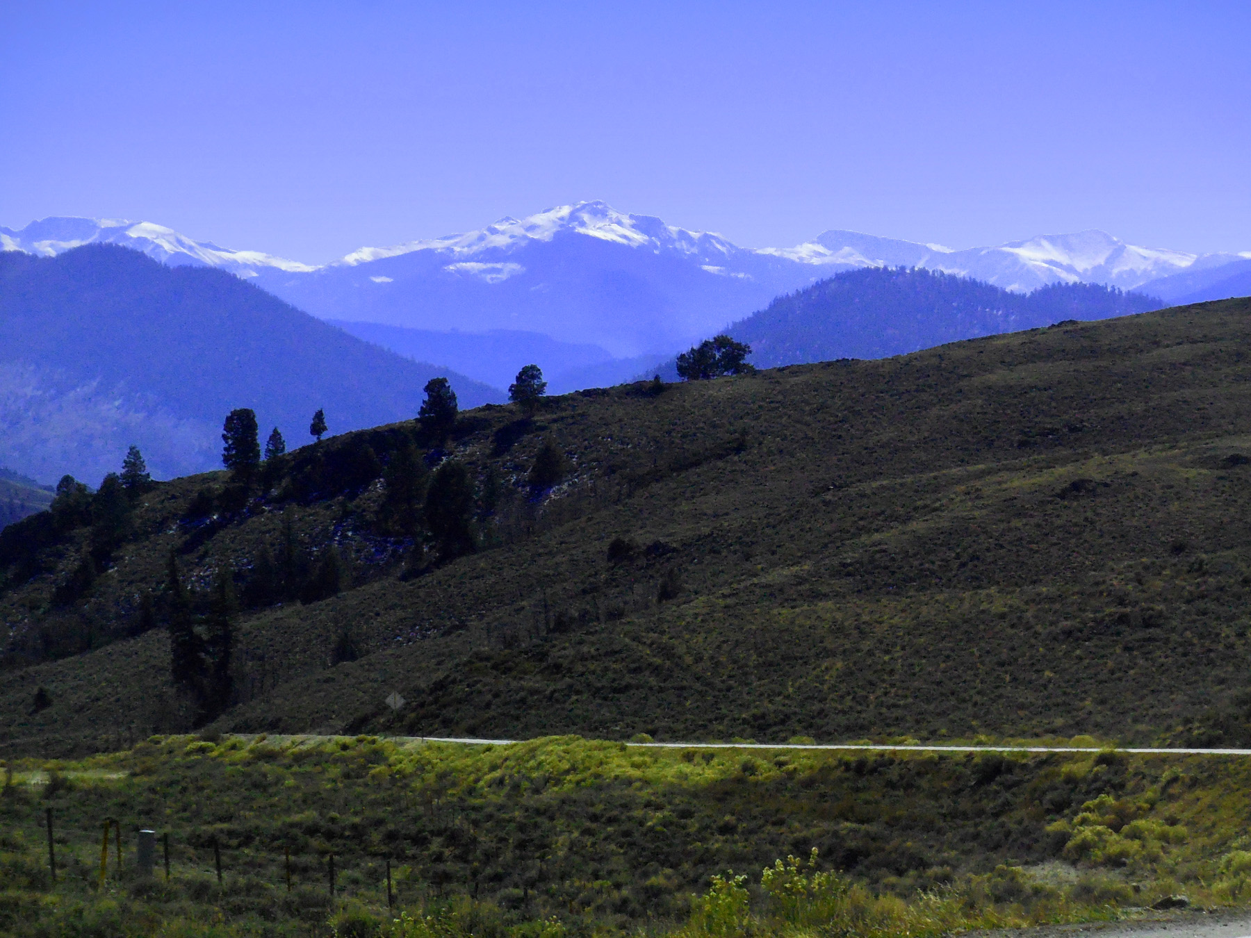
11 / 58
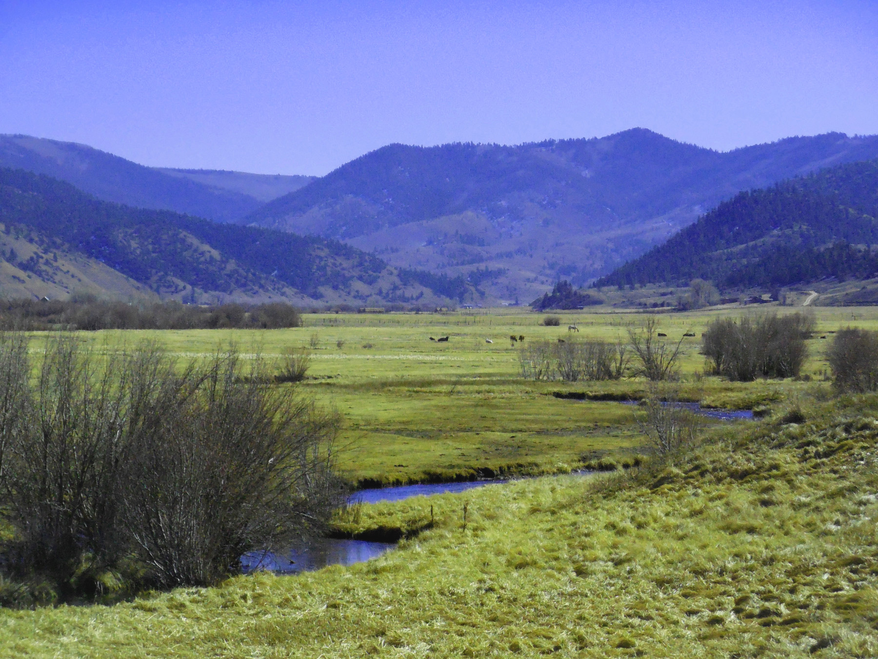
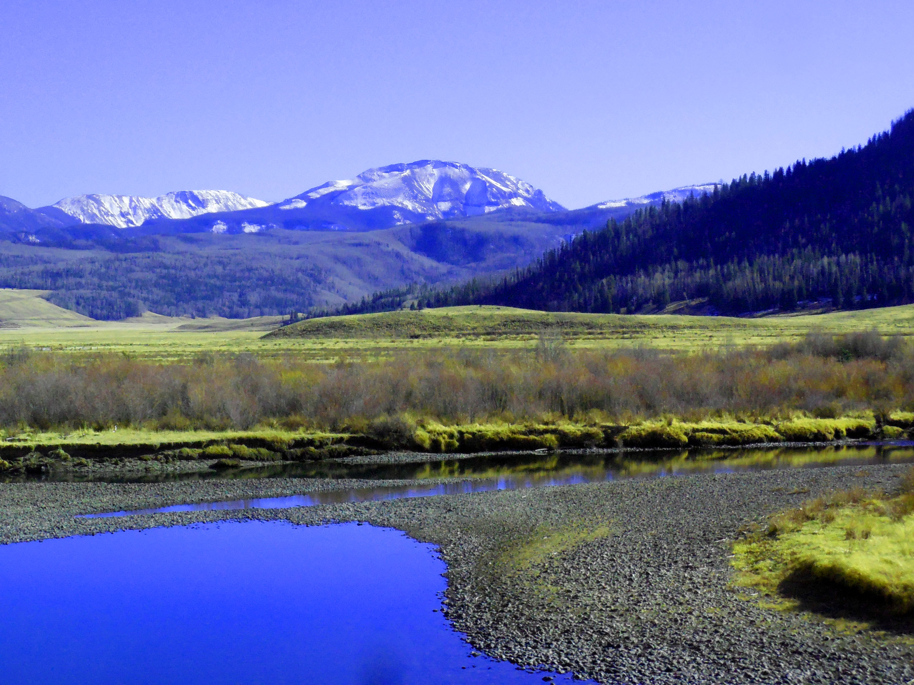
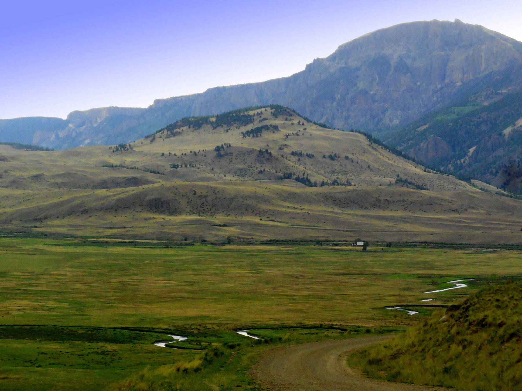
Coming down from the High Volcanic Plateau to the Lake Fork Valley
Nov 05 2020 - 1:09 pm
Nov 05 2020 - 1:09 pm
12 / 58
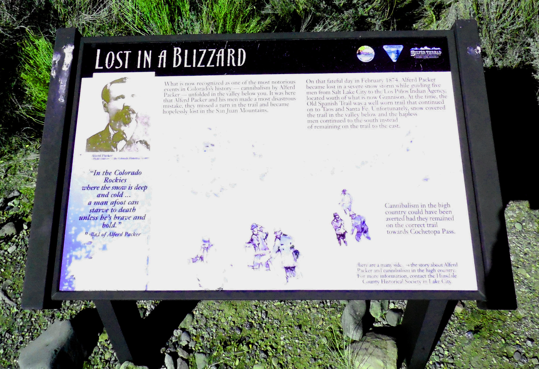
Notorious Cannibalism
Nov 05 2020 - 1:13 pm
Nov 05 2020 - 1:13 pm
13 / 58
Lake Fork Valley cutting into ashflow deposits from ~30,000,000 yr old volcanoes
Nov 05 2020 - 1:18 pm
Nov 05 2020 - 1:18 pm
14 / 58
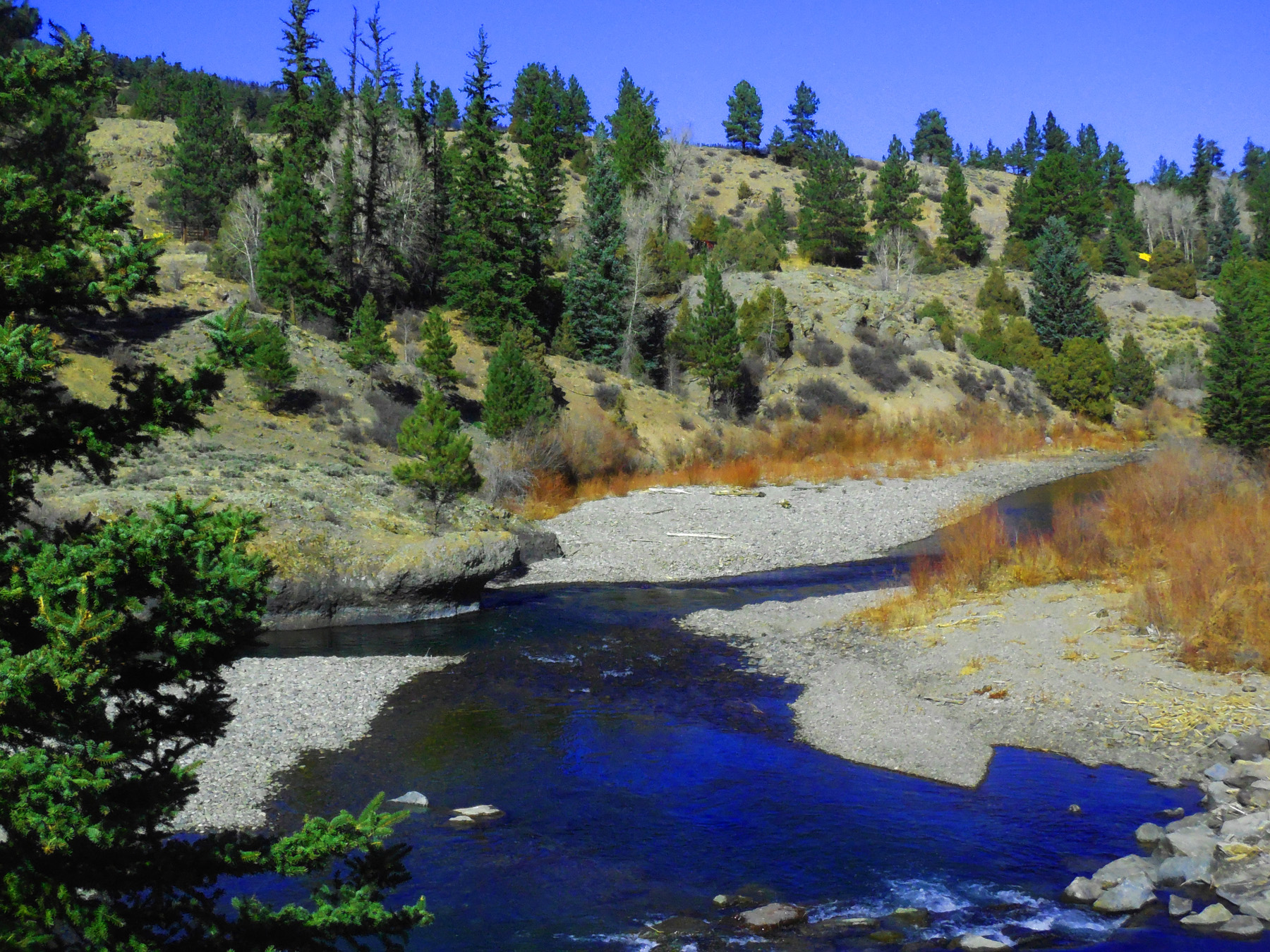
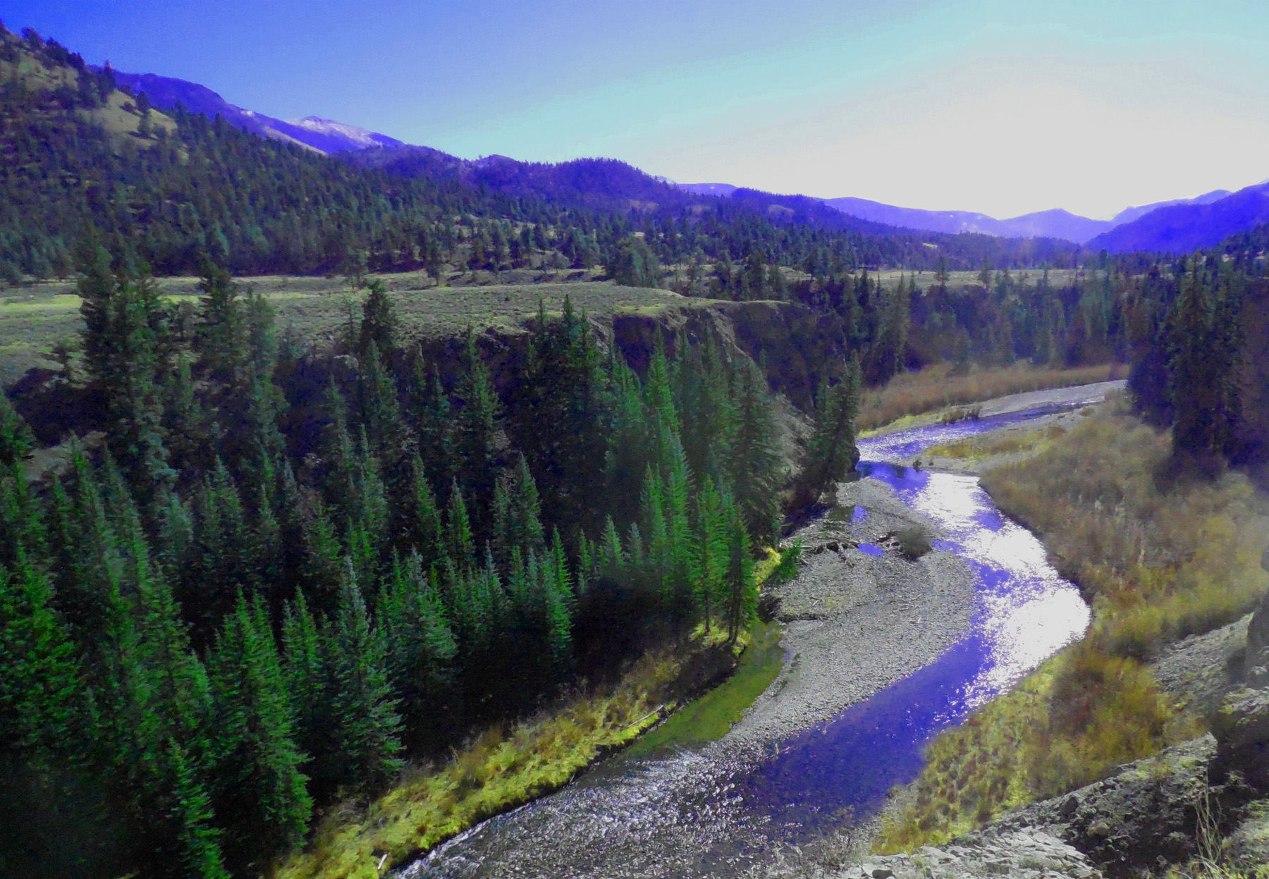
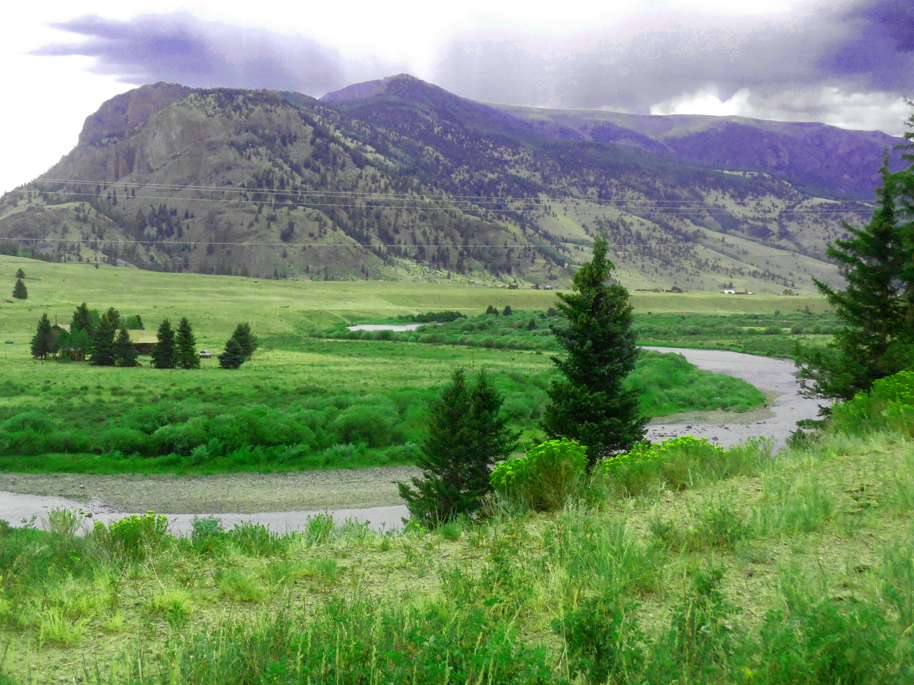
Downstream view of the Lake Fork of the Gunnison River
Nov 05 2020 - 1:25 pm
Nov 05 2020 - 1:25 pm
15 / 58
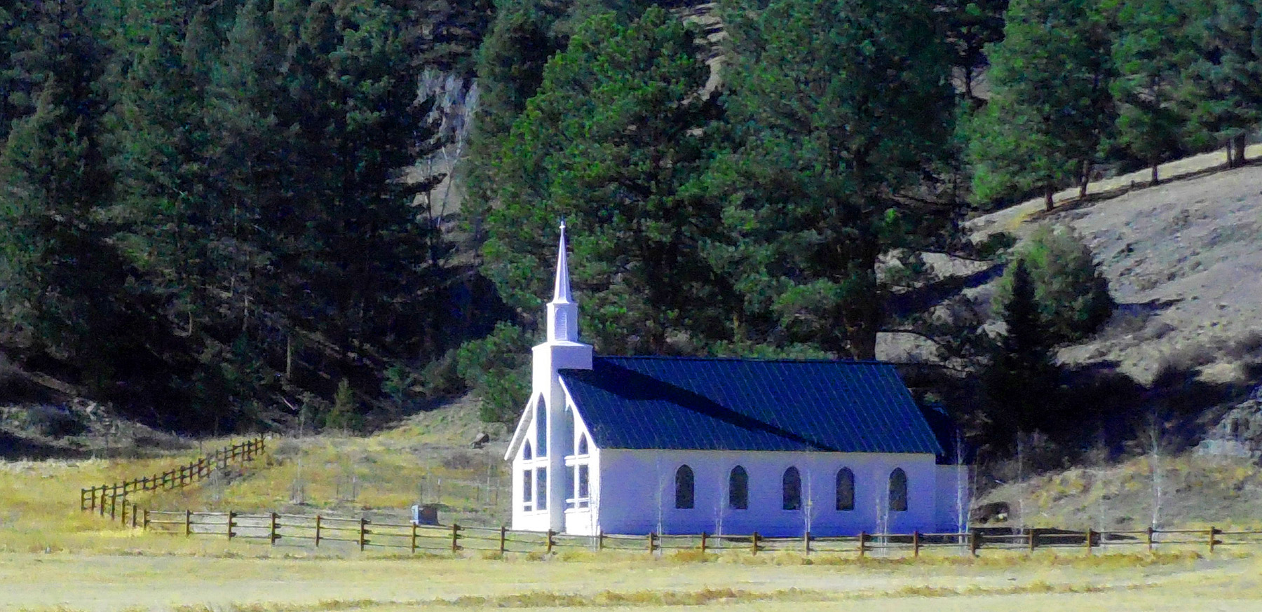
Chapel apparently built for one gravestone
Nov 05 2020 - 1:33 pm
Nov 05 2020 - 1:33 pm
16 / 58
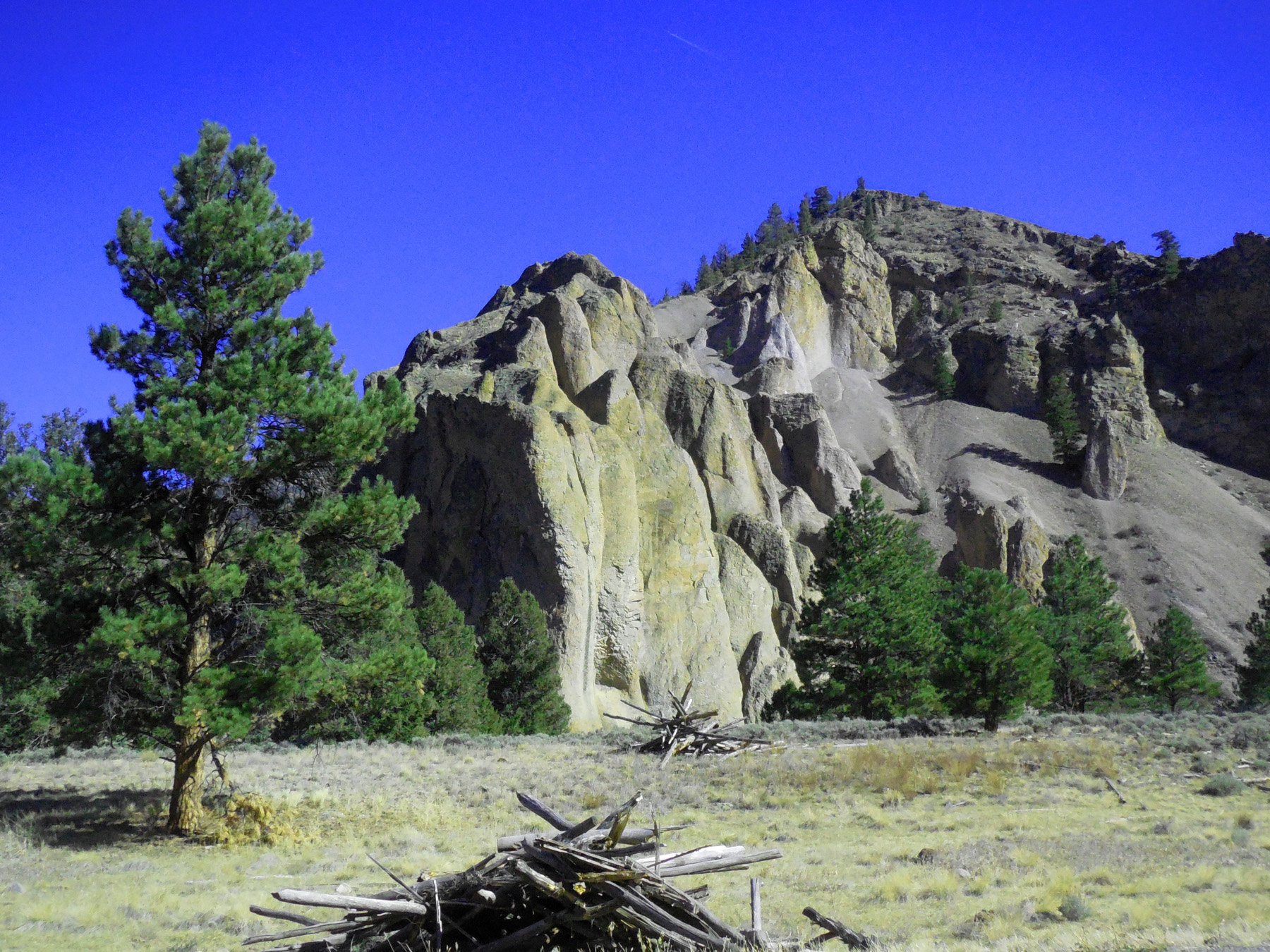
Soft ash deposits interbedded with the hard ashflows
Nov 05 2020 - 1:35 pm
Nov 05 2020 - 1:35 pm
17 / 58
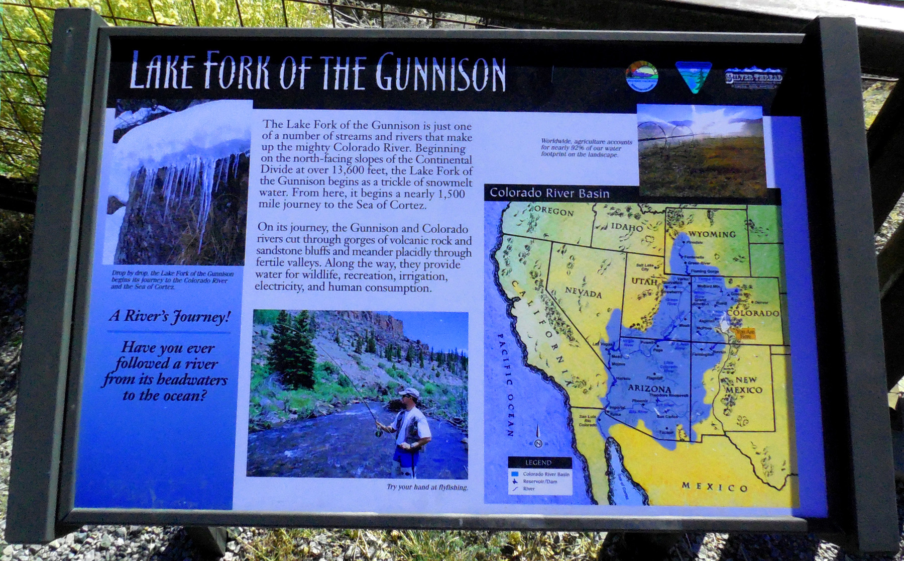
Road sign about the Lake Fork
Nov 05 2020 - 1:39 pm
Nov 05 2020 - 1:39 pm
18 / 58
Upstream view of the river
Nov 05 2020 - 1:39 pm
Nov 05 2020 - 1:39 pm
19 / 58
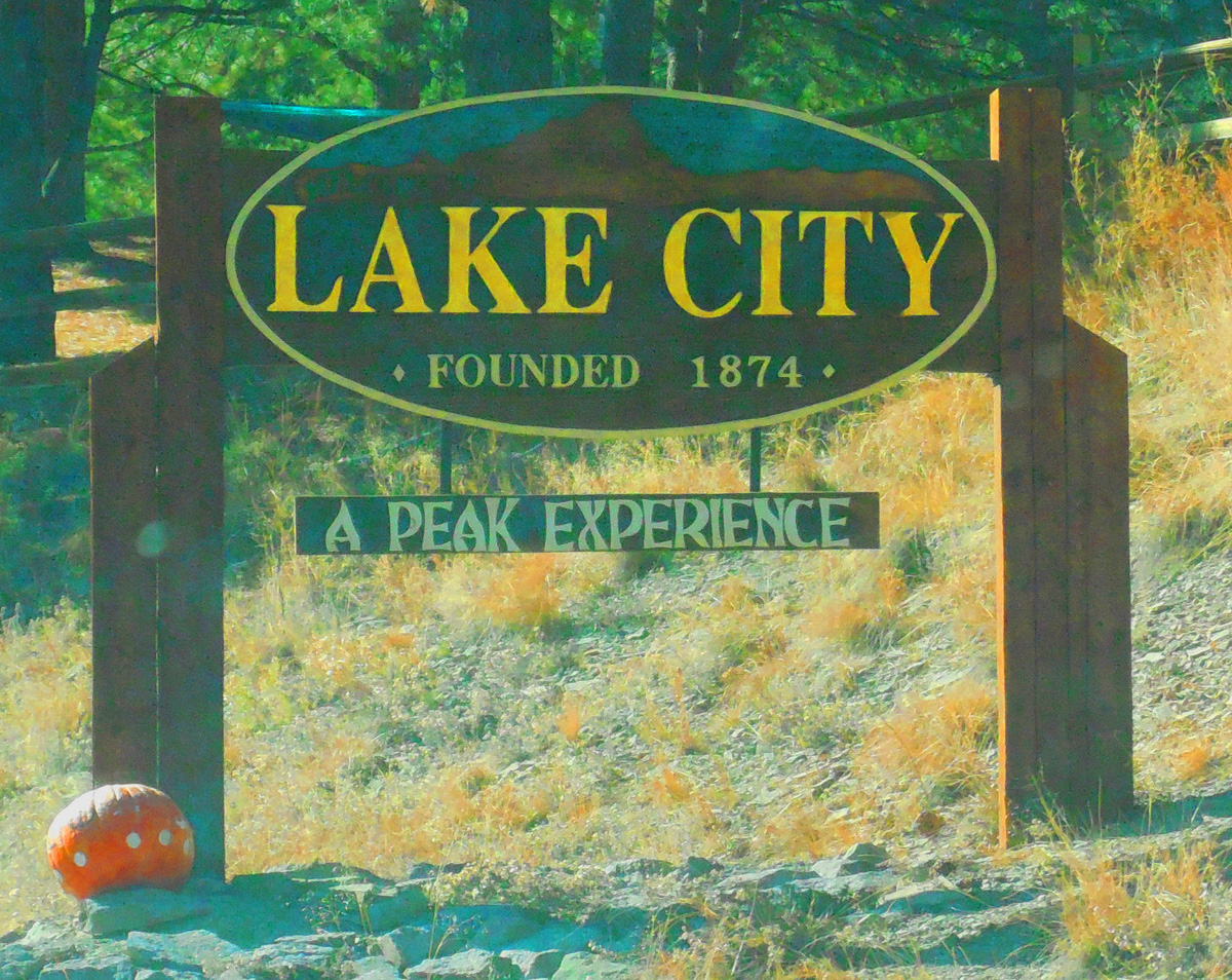
Lake City
Nov 05 2020 - 1:51 pm
Nov 05 2020 - 1:51 pm
20 / 58
View from the city
Nov 05 2020 - 1:52 pm
Nov 05 2020 - 1:52 pm
21 / 58
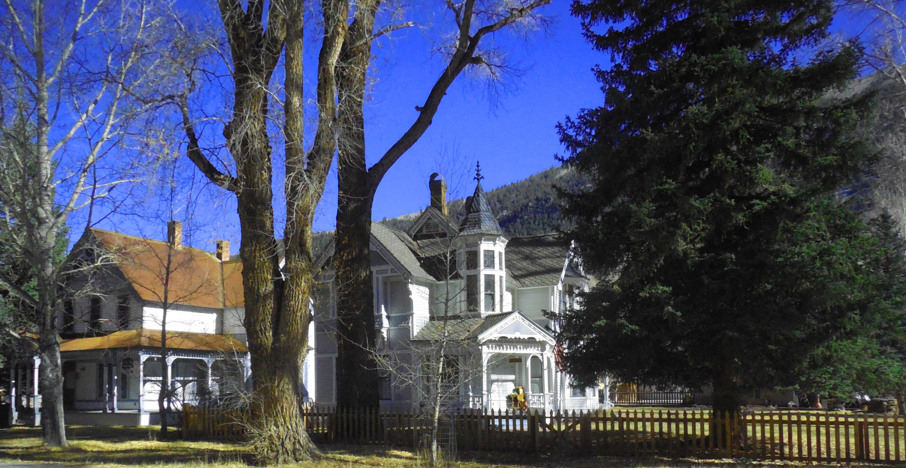
Quaint houses in Lake City
Nov 05 2020 - 1:58 pm
Nov 05 2020 - 1:58 pm
22 / 58
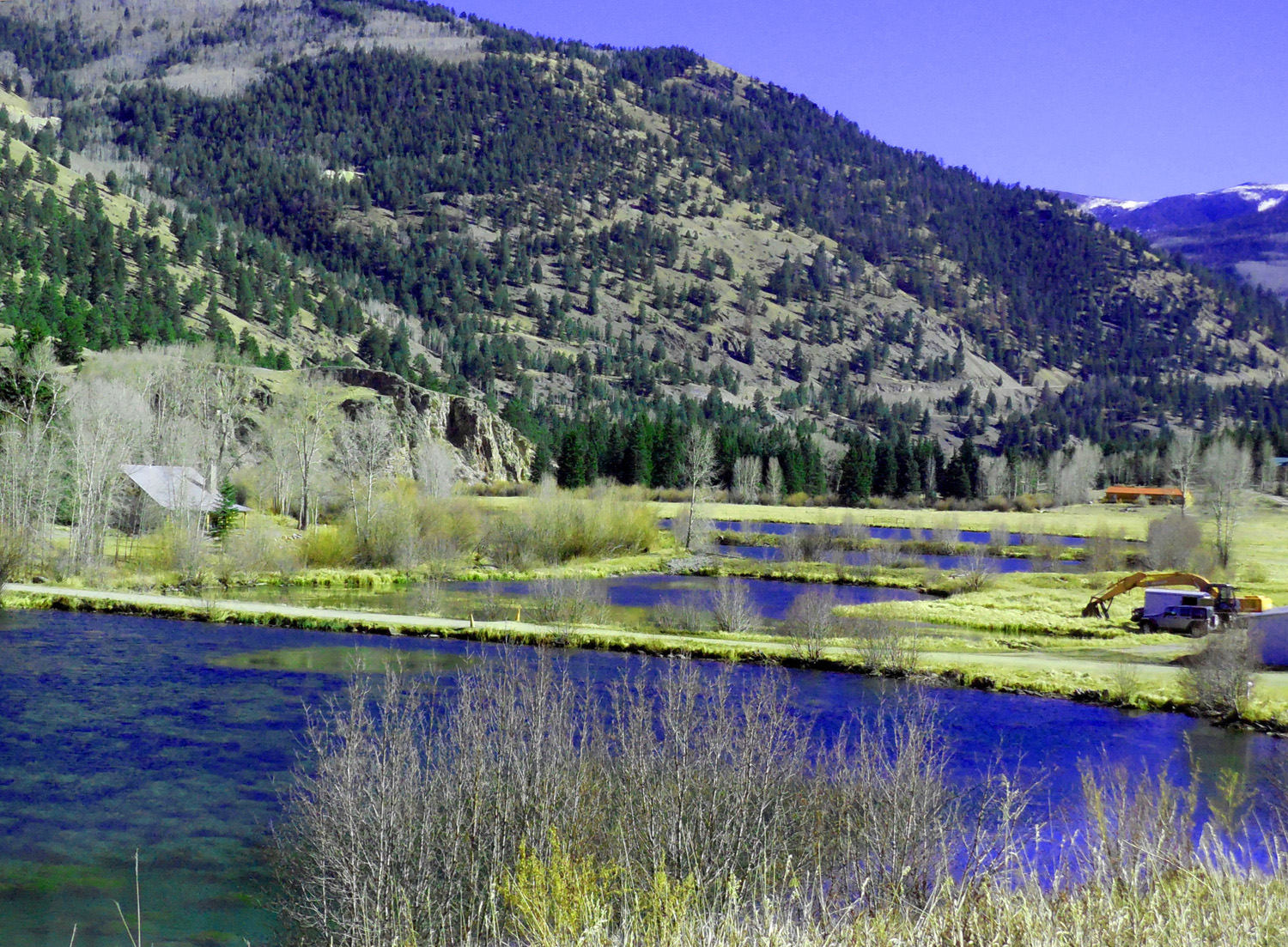
Fish hatcheries on the Lake Fork
Nov 05 2020 - 2:02 pm
Nov 05 2020 - 2:02 pm
23 / 58
Volcanoes built the San Juans (eruptions occur every 100,000 years or so)
Nov 05 2020 - 2:06 pm
Nov 05 2020 - 2:06 pm
24 / 58
Glaciers eroded the mountains (in about the same 100,000 year cycle)
Nov 05 2020 - 2:09 pm
Nov 05 2020 - 2:09 pm
25 / 58
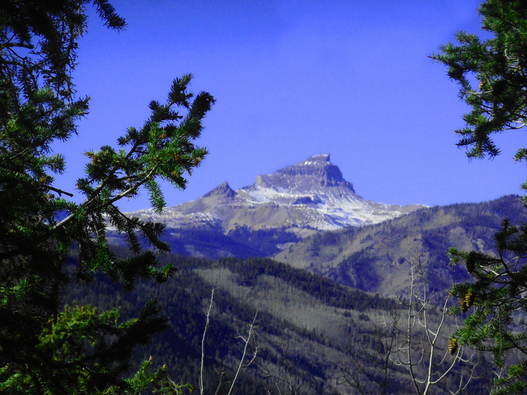
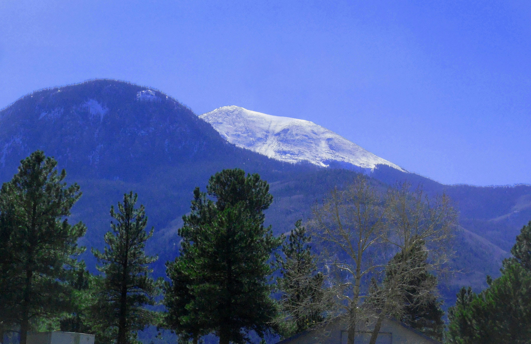
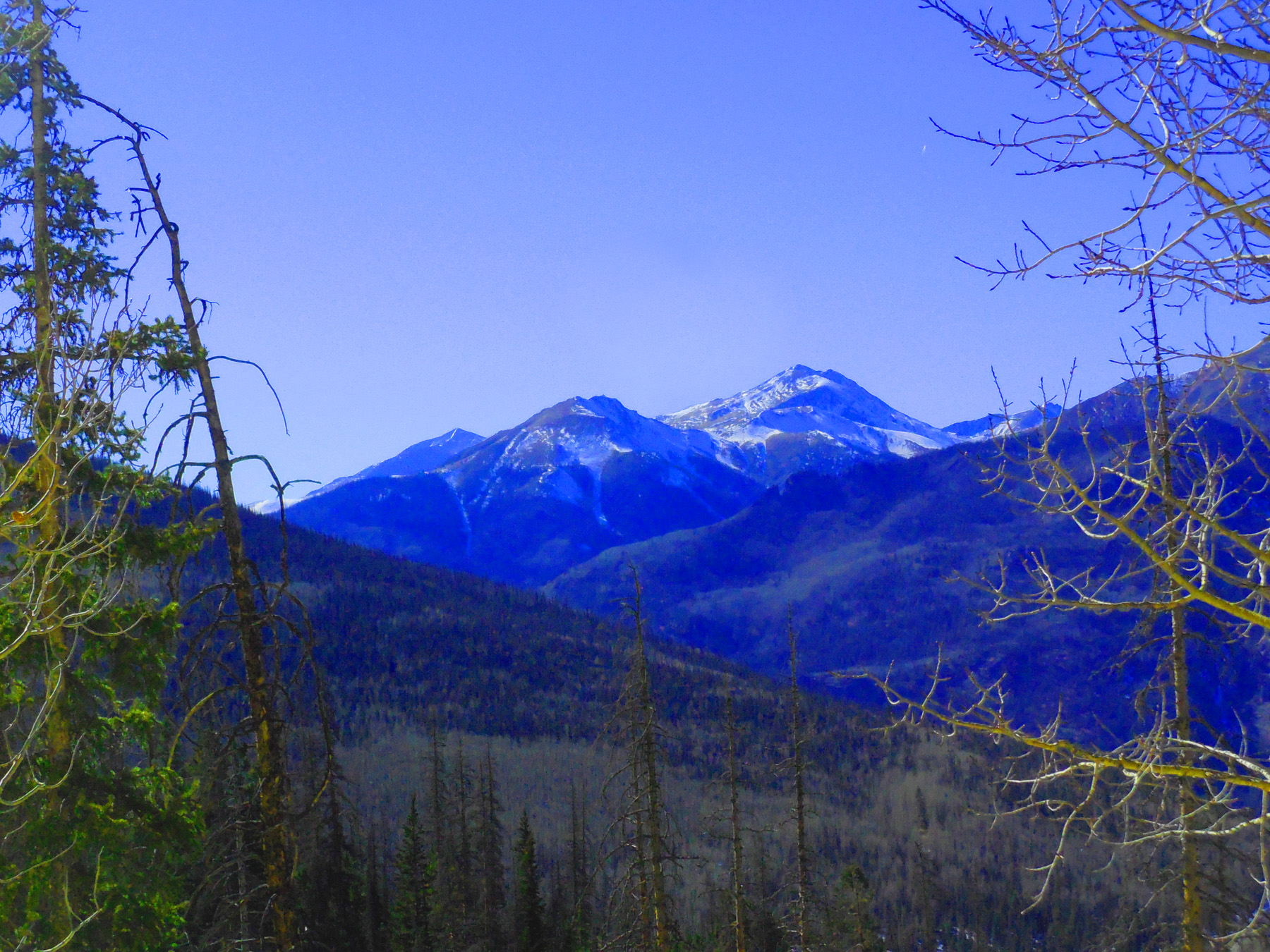
Uncompahgre Peak (14,309') (through three miles of endless trees along the road blocking spectacular the view)
Nov 05 2020 - 2:15 pm
Nov 05 2020 - 2:15 pm
26 / 58
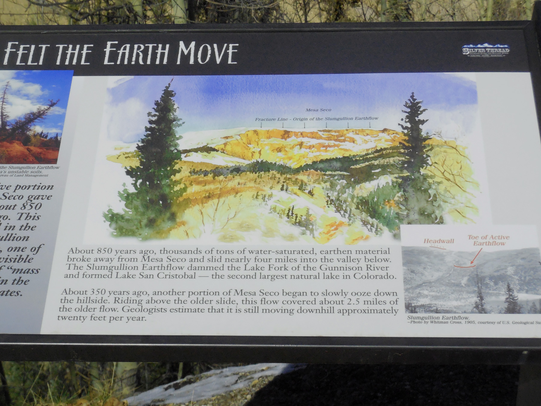
Road sign about the Slumgullion Earth Flow
Nov 05 2020 - 2:18 pm
Nov 05 2020 - 2:18 pm
27 / 58
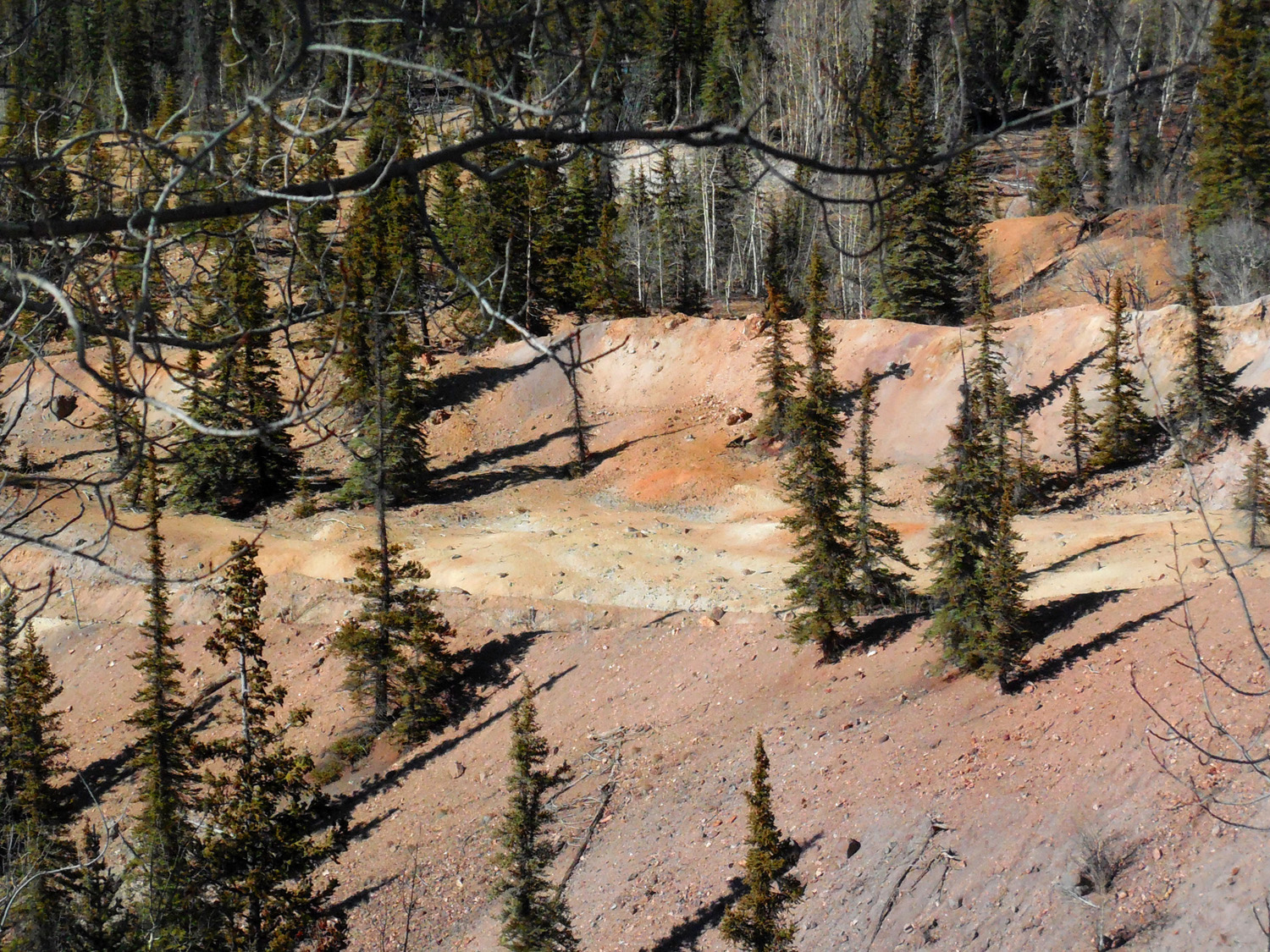
Vertical trees indicate stabilized earth flow
Nov 05 2020 - 2:18 pm
Nov 05 2020 - 2:18 pm
28 / 58
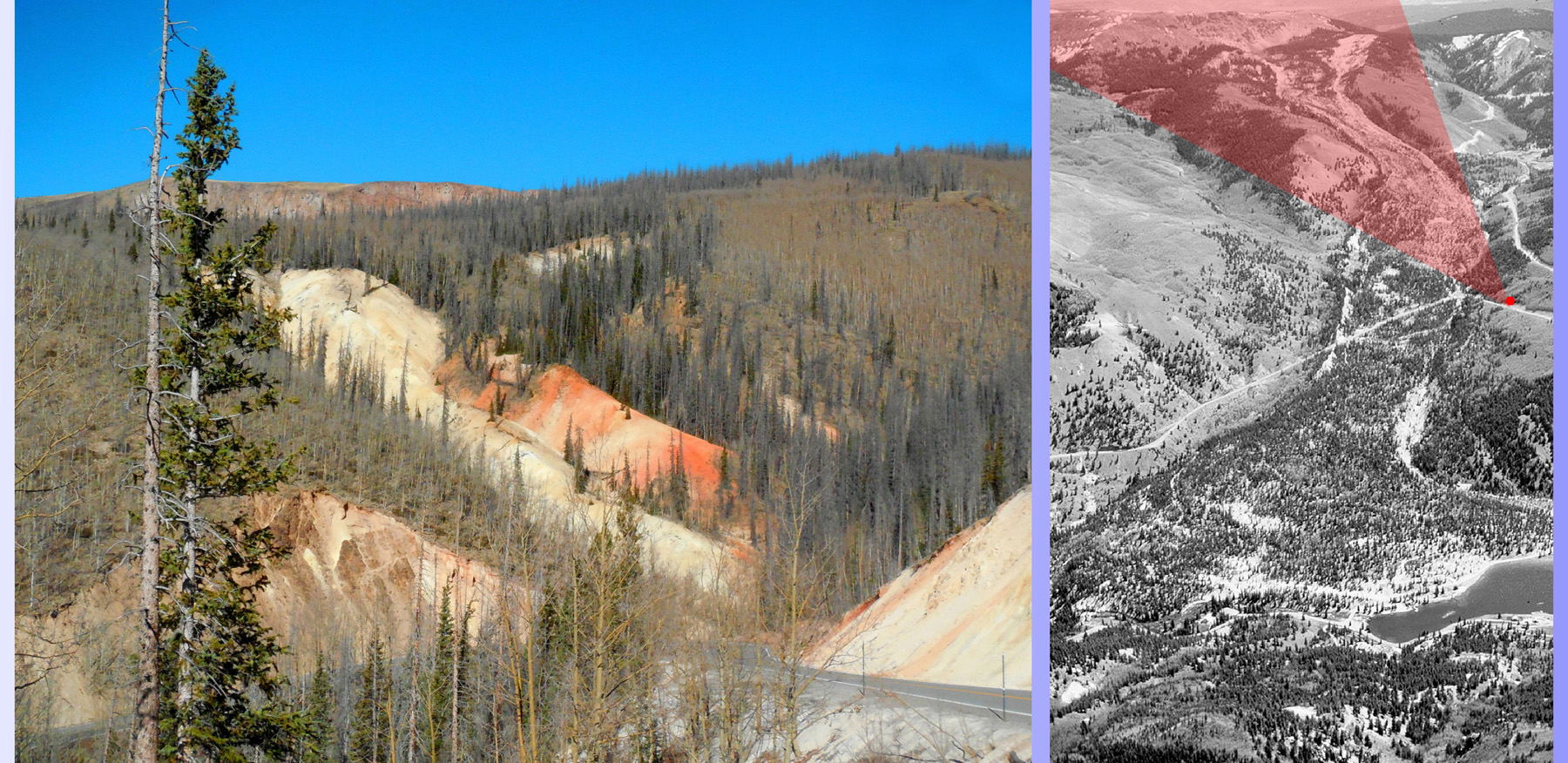
Breakaway scarp (areal view shows photo perspective)
Nov 05 2020 - 2:19 pm
Nov 05 2020 - 2:19 pm
29 / 58
Recommended (200 yards up a paved road to a broad parking lot)
Nov 05 2020 - 2:36 pm
Nov 05 2020 - 2:36 pm
30 / 58
Why recommended? (finally a view not obstructed by trees)
Nov 05 2020 - 2:32 pm
Nov 05 2020 - 2:32 pm
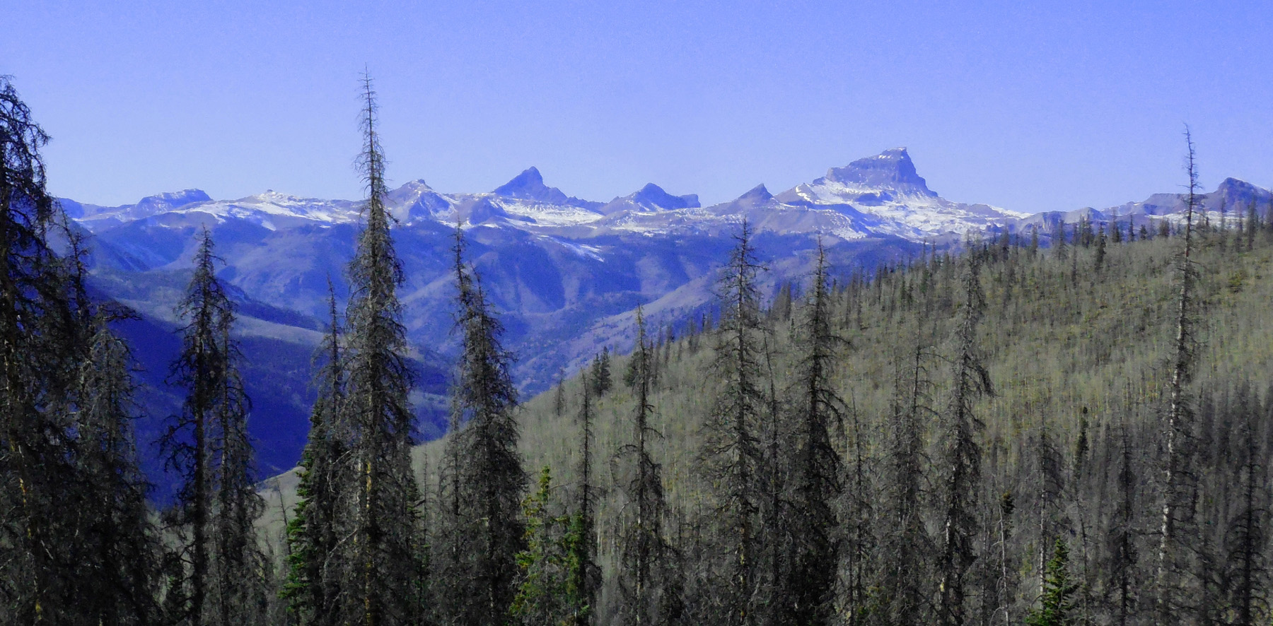
31 / 58
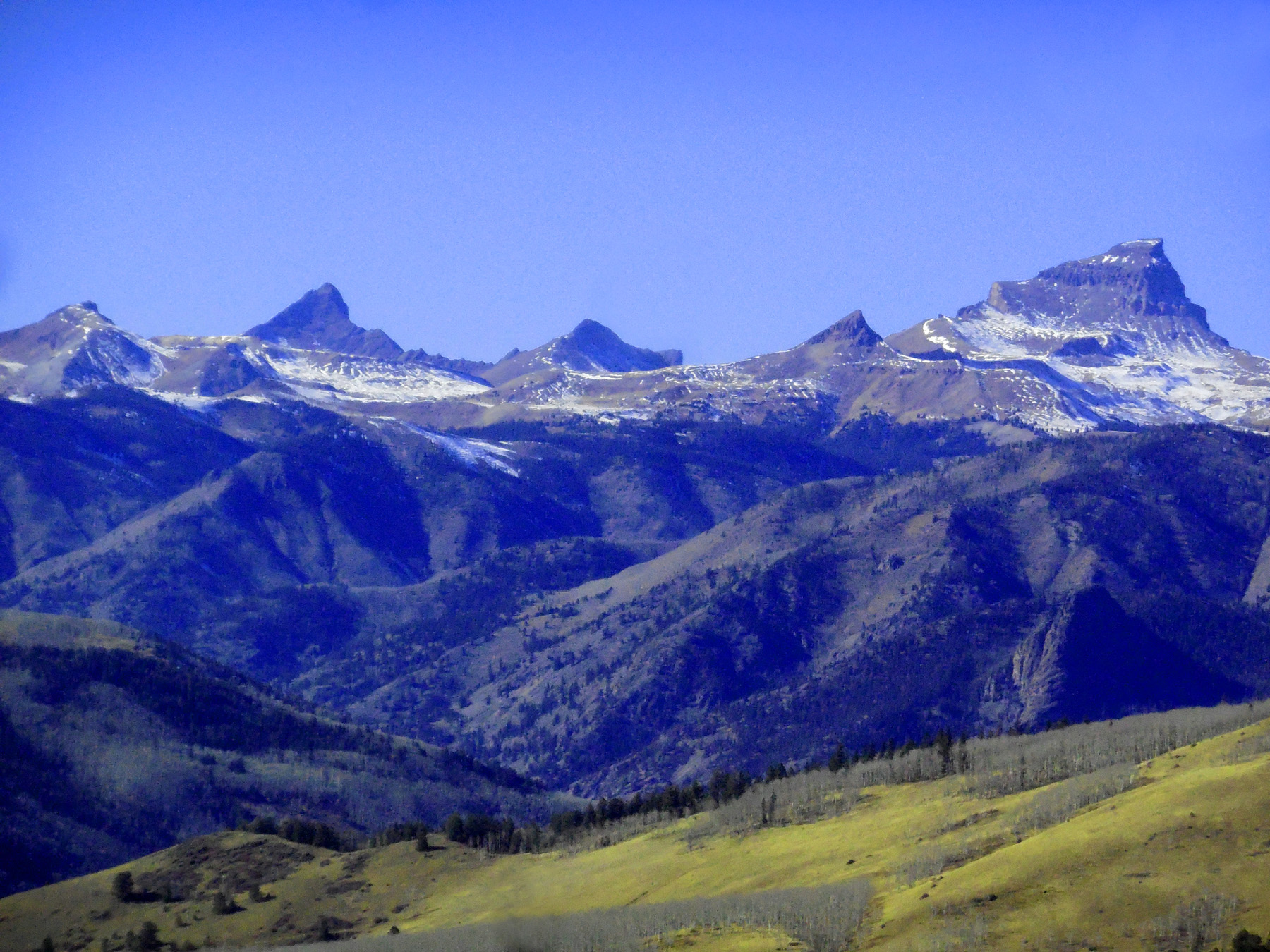
From Left: Sunshine Mountain (13,321'), Wetterhorn Peak(14,015'), Matterhorn Peak (13,590'), Broken Hill (13,526'), Uncompaghge Peak (14,309')
Nov 05 2020 - 2:31 pm
Nov 05 2020 - 2:31 pm
32 / 58
Sunshine Peak (14,001'), Red Cloud Peak (14,034') hiding in trees at right
Nov 05 2020 - 2:28 pm
Nov 05 2020 - 2:28 pm
33 / 58
Lake Fork Valley surmounted by four 14er's from left (Sunshine, Red Cloud, Wetterhorn, Uncompahgre Peaks)
Nov 05 2020 - 2:31 pm
Nov 05 2020 - 2:31 pm
34 / 58
Uncompahgre Group through a beetle-kill spruce forest
Nov 05 2020 - 2:39 pm
Nov 05 2020 - 2:39 pm
35 / 58
La Garita Mountains, Cinco Baldy (13,383') right
Nov 05 2020 - 2:28 pm
Nov 05 2020 - 2:28 pm
36 / 58
Hot Ash Flow Deposits from the La Garita Caldera about 10 miles away
Nov 05 2020 - 2:44 pm
Nov 05 2020 - 2:44 pm
37 / 58
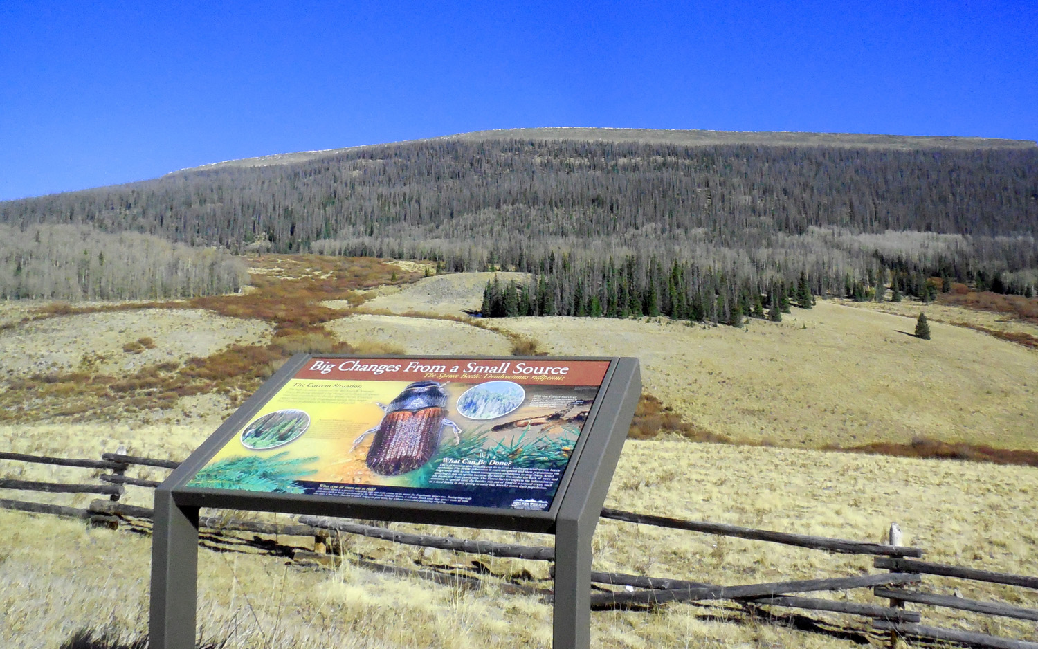
Logging spruce trees killed by the beetle outbreak
Nov 05 2020 - 2:46 pm
Nov 05 2020 - 2:46 pm
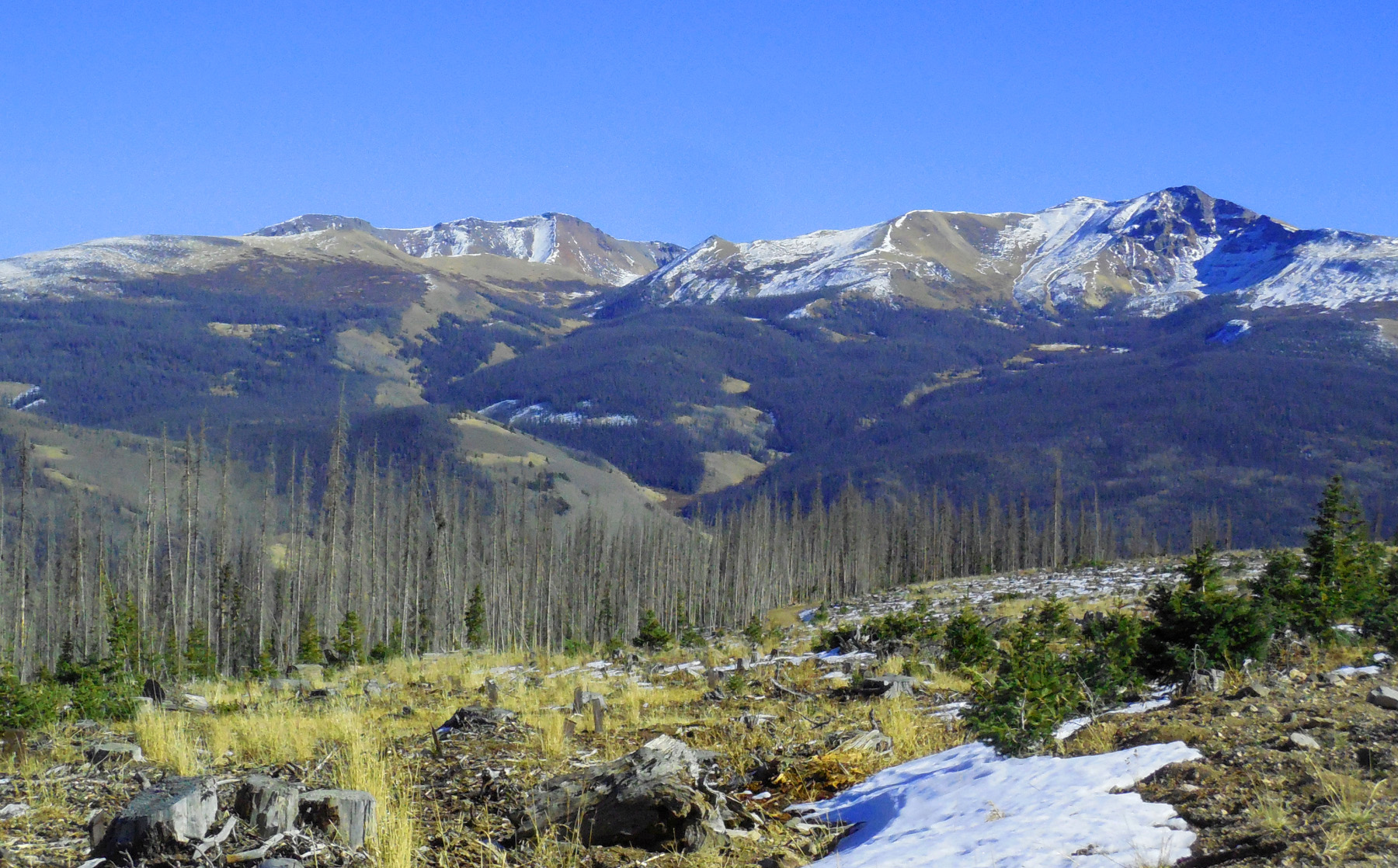
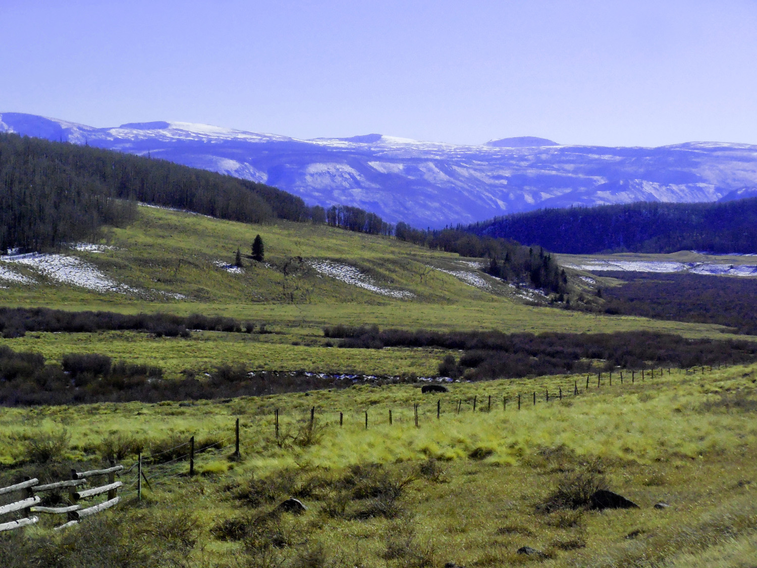
38 / 58
High Valley beneath azure Colorado sky
Nov 05 2020 - 2:50 pm
Nov 05 2020 - 2:50 pm
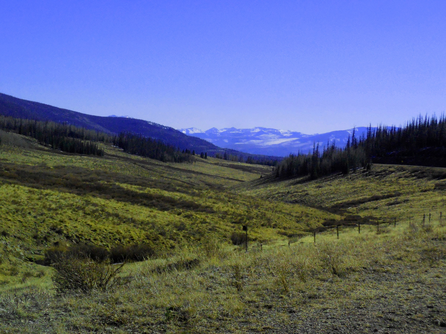
39 / 58
Colorado River to the west; Rio Grande to the east
Nov 05 2020 - 2:54 pm
Nov 05 2020 - 2:54 pm
40 / 58
Beetle kill
Nov 05 2020 - 3:00 pm
Nov 05 2020 - 3:00 pm
41 / 58
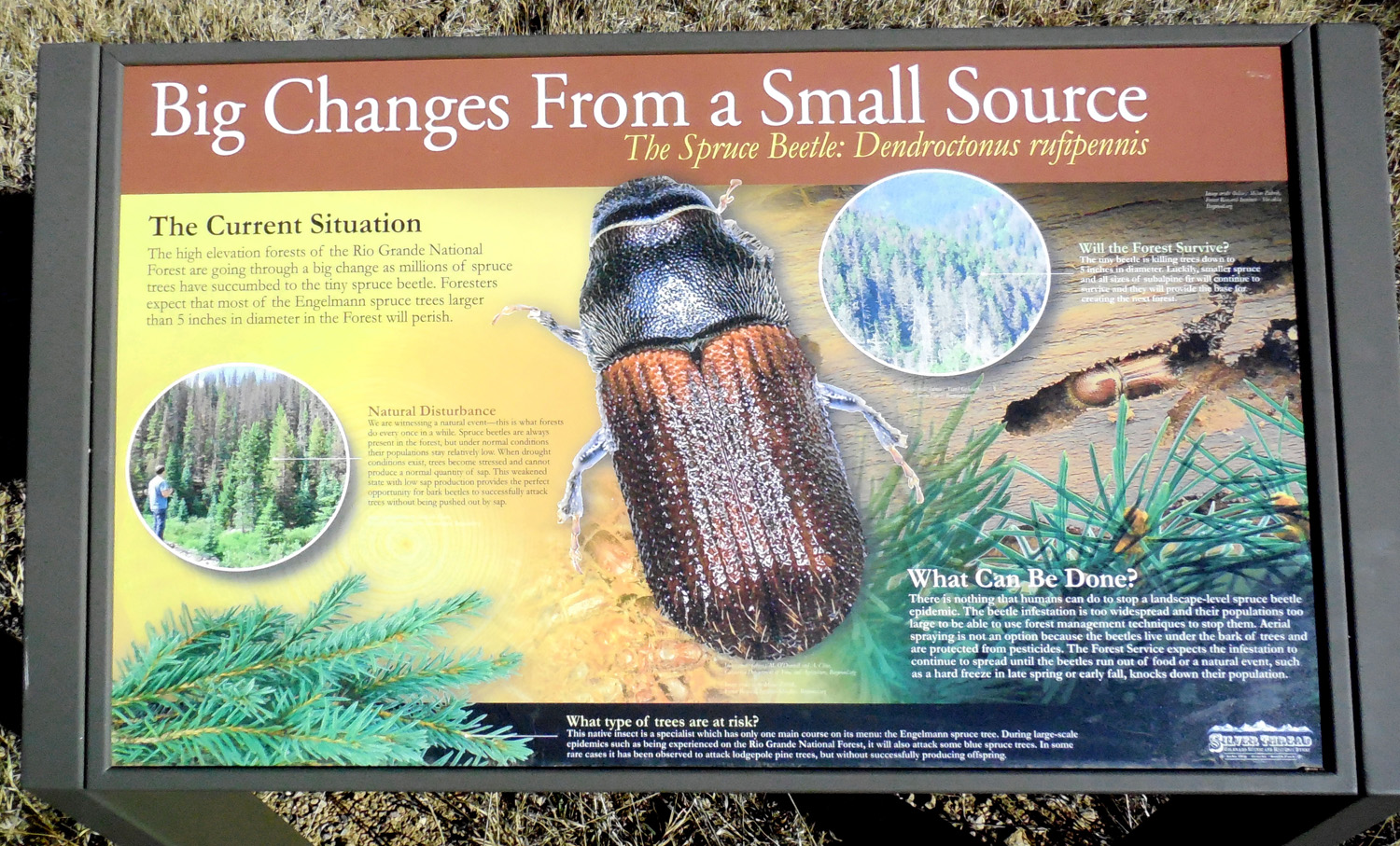
Beetle kill road sign
Nov 05 2020 - 2:59 pm
Nov 05 2020 - 2:59 pm
42 / 58
Headwaters of the Rio Grande
Nov 05 2020 - 3:05 pm
Nov 05 2020 - 3:05 pm
43 / 58
Looking ahead to the Creede Caldera
Nov 05 2020 - 2:56 pm
Nov 05 2020 - 2:56 pm
44 / 58
Rio Grande Pyramid (13,821')at the head of the Rio Grande Valley
Nov 05 2020 - 3:09 pm
Nov 05 2020 - 3:09 pm
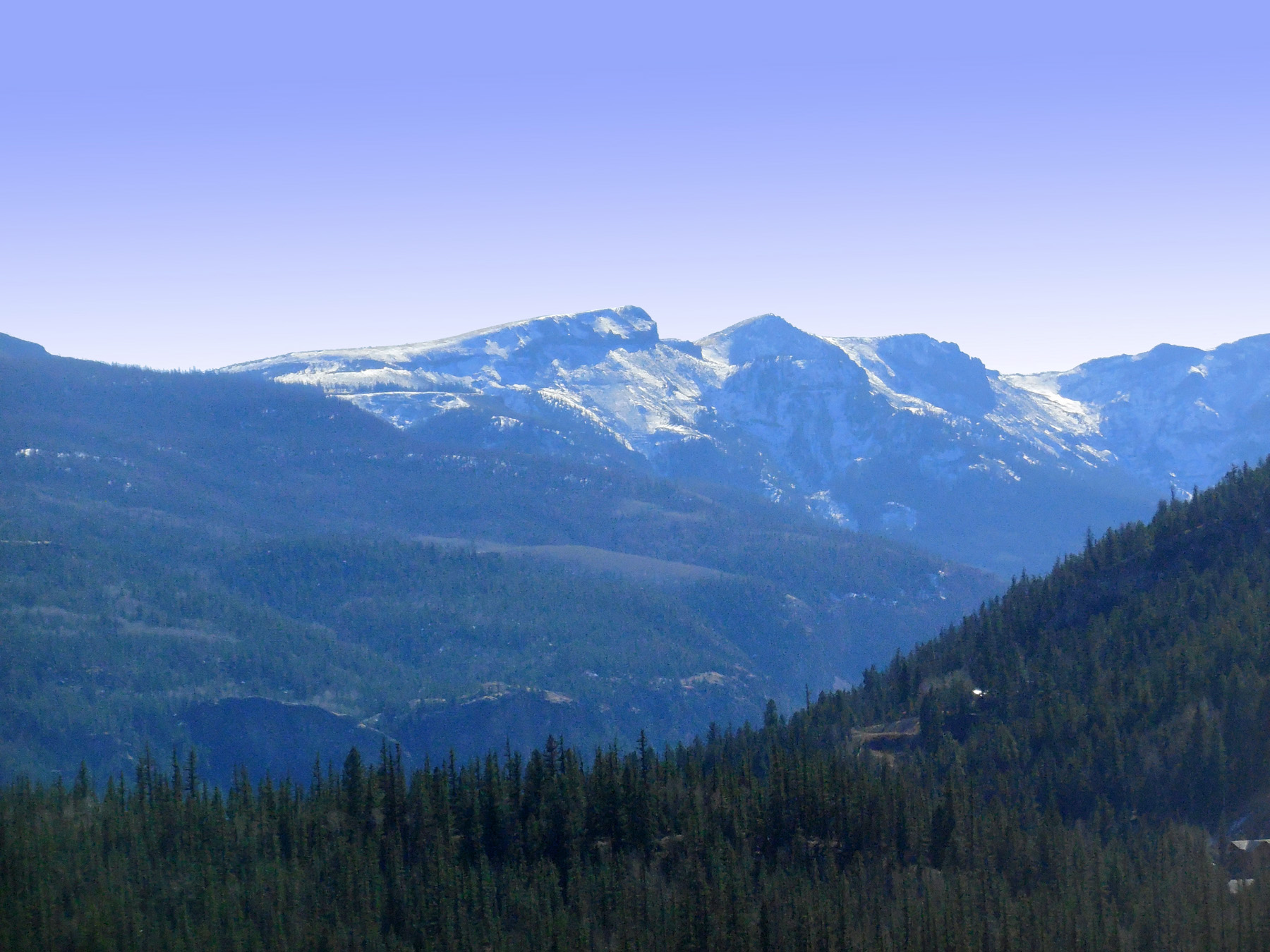
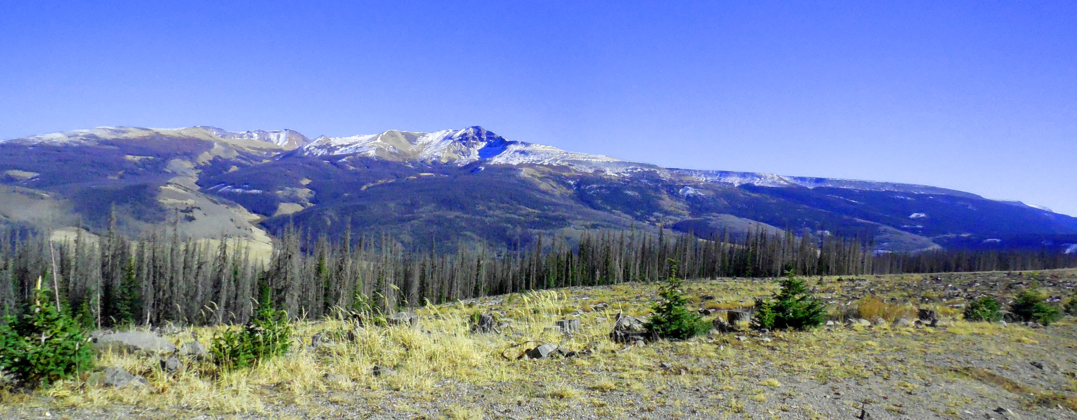
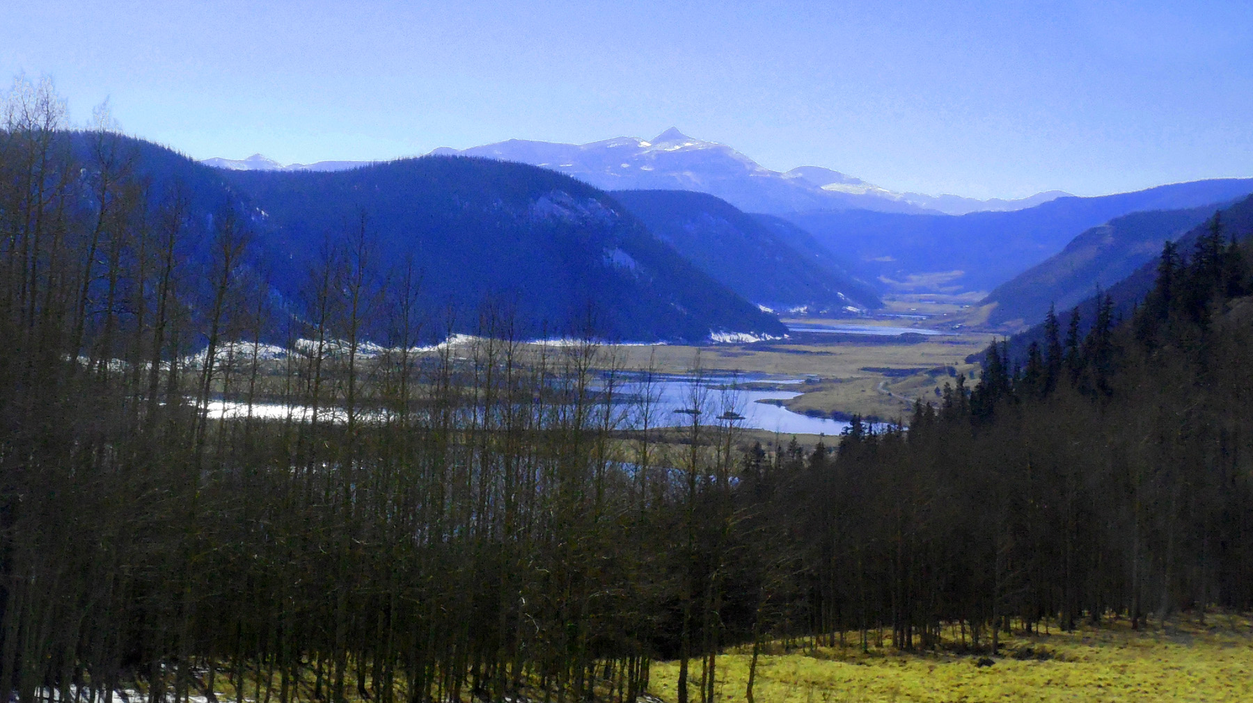
45 / 58
Bristol Head (12,706')
Nov 05 2020 - 3:11 pm
Nov 05 2020 - 3:11 pm
46 / 58
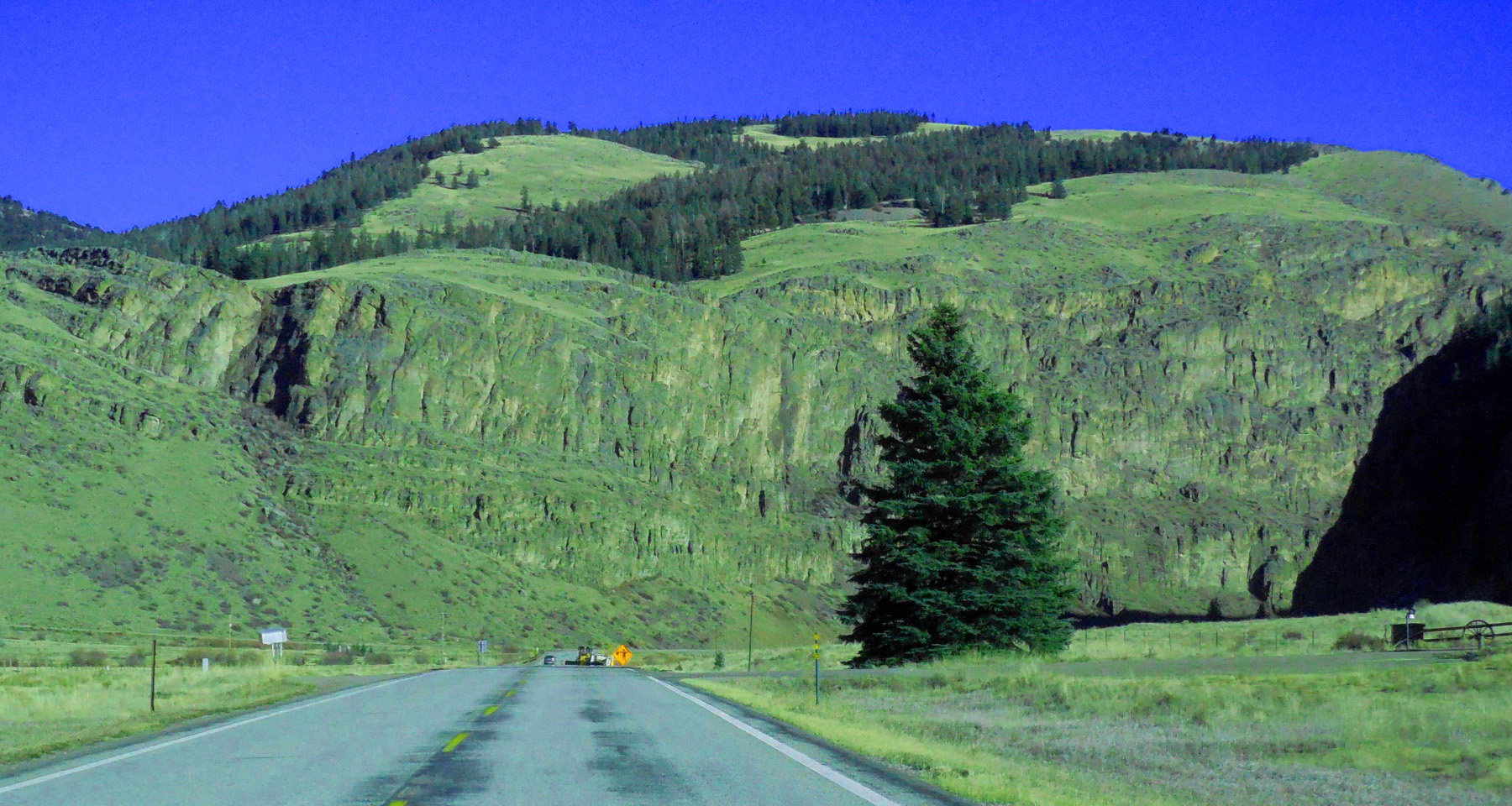
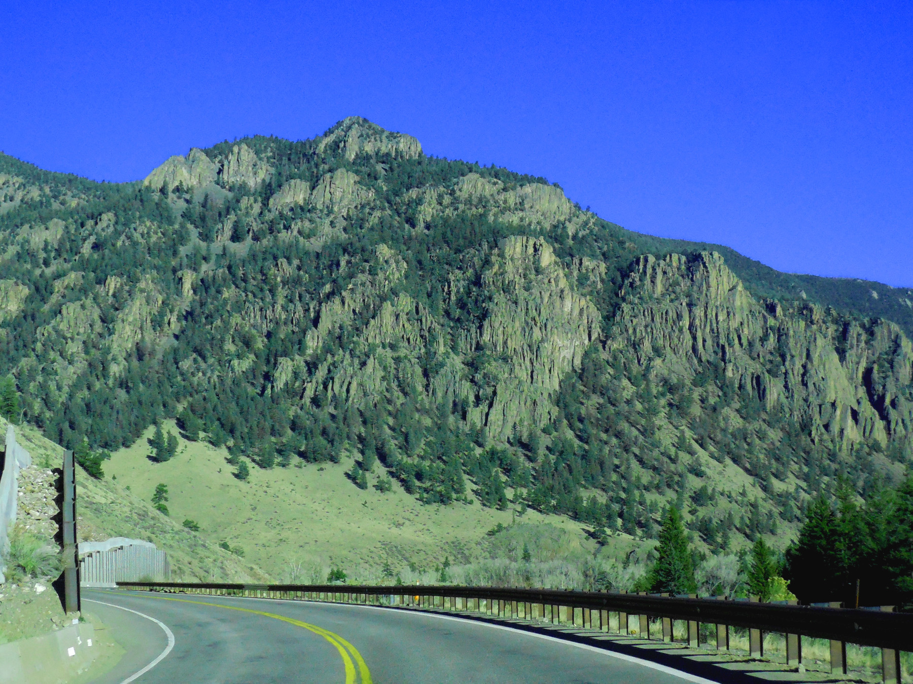
La Garita Mountains
Nov 05 2020 - 3:19 pm
Nov 05 2020 - 3:19 pm
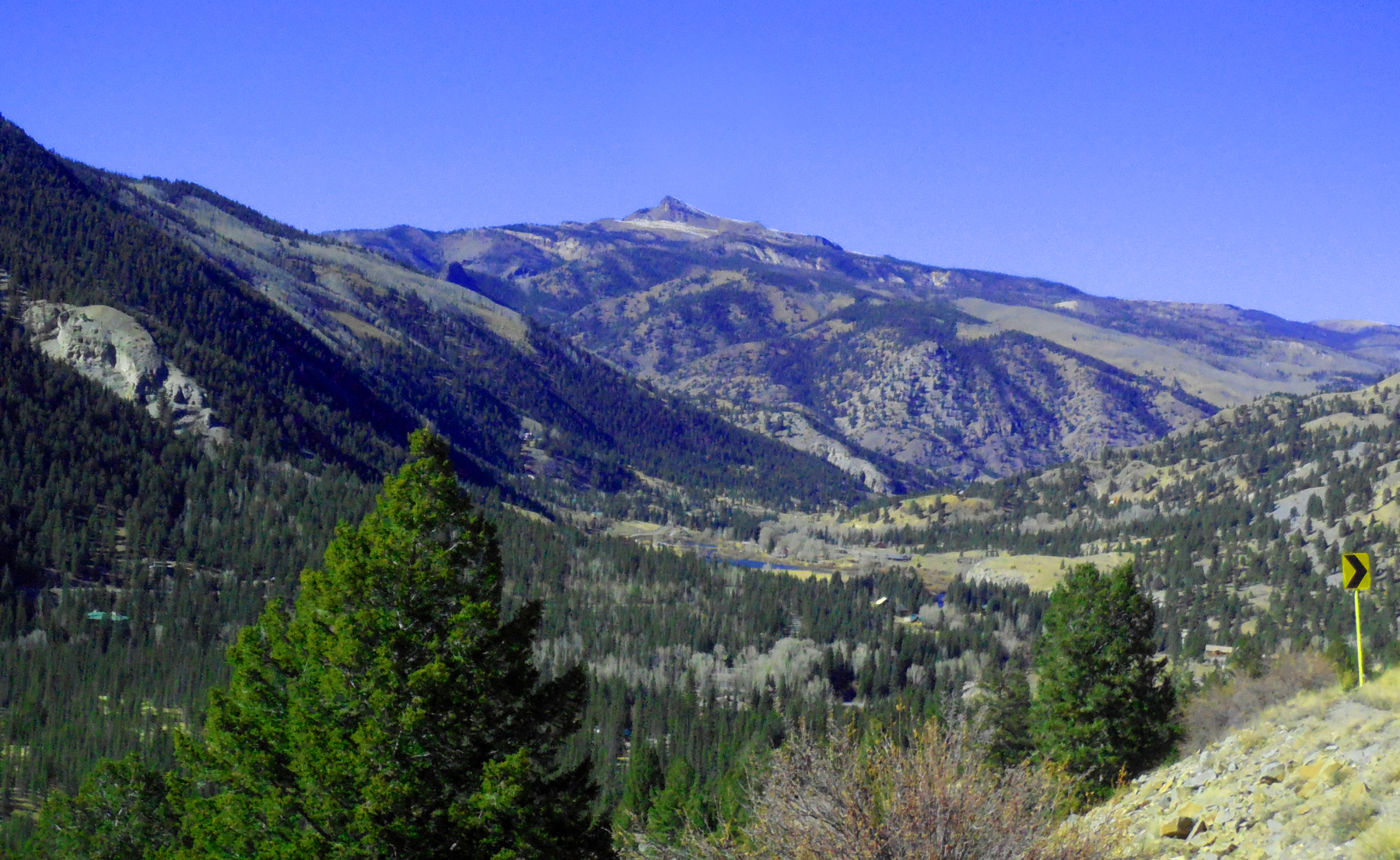
47 / 58
Approaching Antelope Valley
Nov 05 2020 - 3:23 pm
Nov 05 2020 - 3:23 pm
48 / 58
Resurgent Dome of the Creed Caldera (La Garita Mountains in background are caldera rim)
Nov 05 2020 - 3:27 pm
Nov 05 2020 - 3:27 pm
49 / 58
Rio Grande
Nov 05 2020 - 3:26 pm
Nov 05 2020 - 3:26 pm
50 / 58
Glacial terminal moraines below Bristol Head
Jul 24 2018 - 2:15 pm
Jul 24 2018 - 2:15 pm
51 / 58
Rio Grande terraces just downstream from moraines
Jul 24 2018 - 2:35 pm
Jul 24 2018 - 2:35 pm
52 / 58
Creede
Jul 24 2018 - 1:26 pm
Jul 24 2018 - 1:26 pm
53 / 58
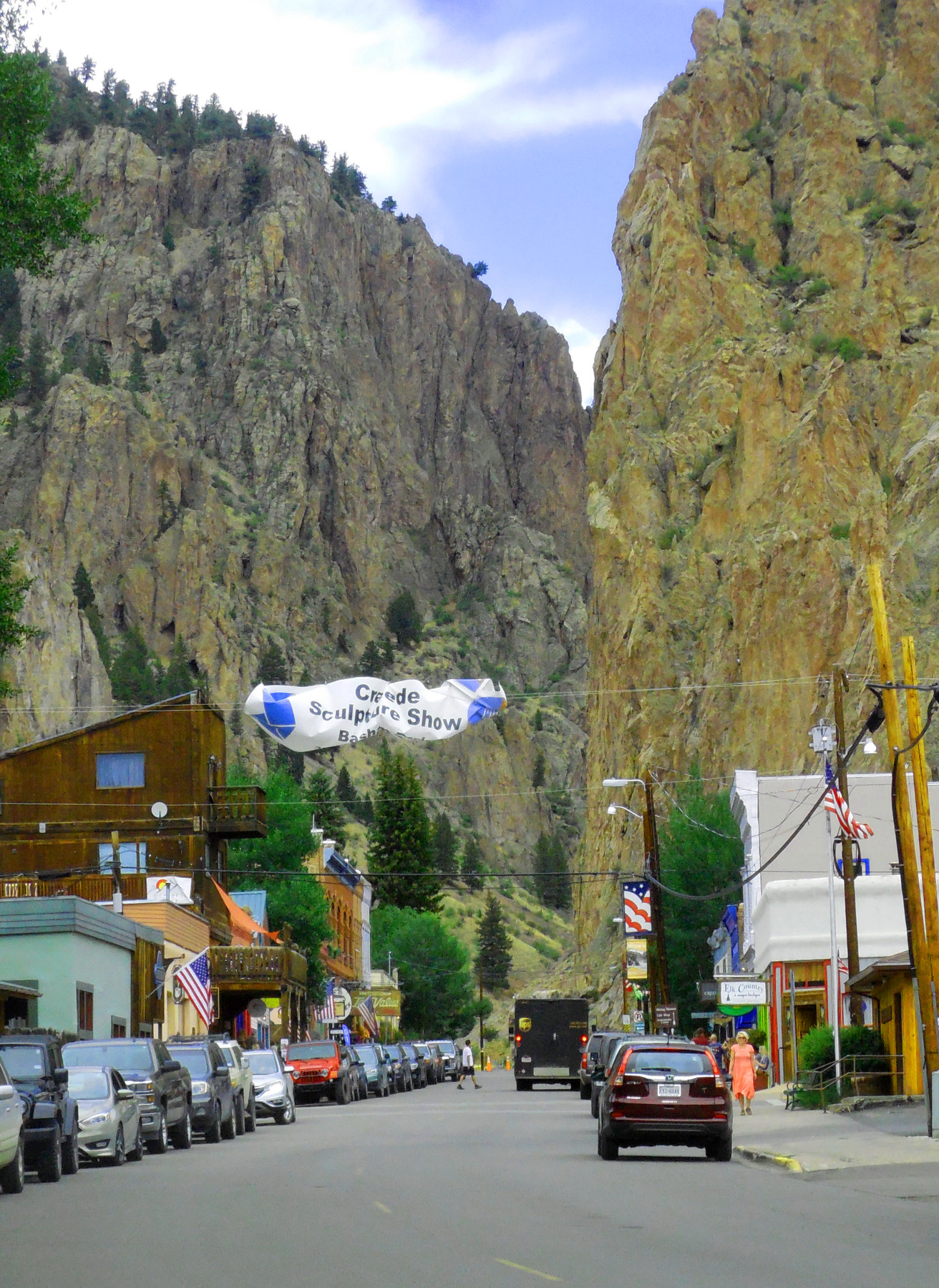
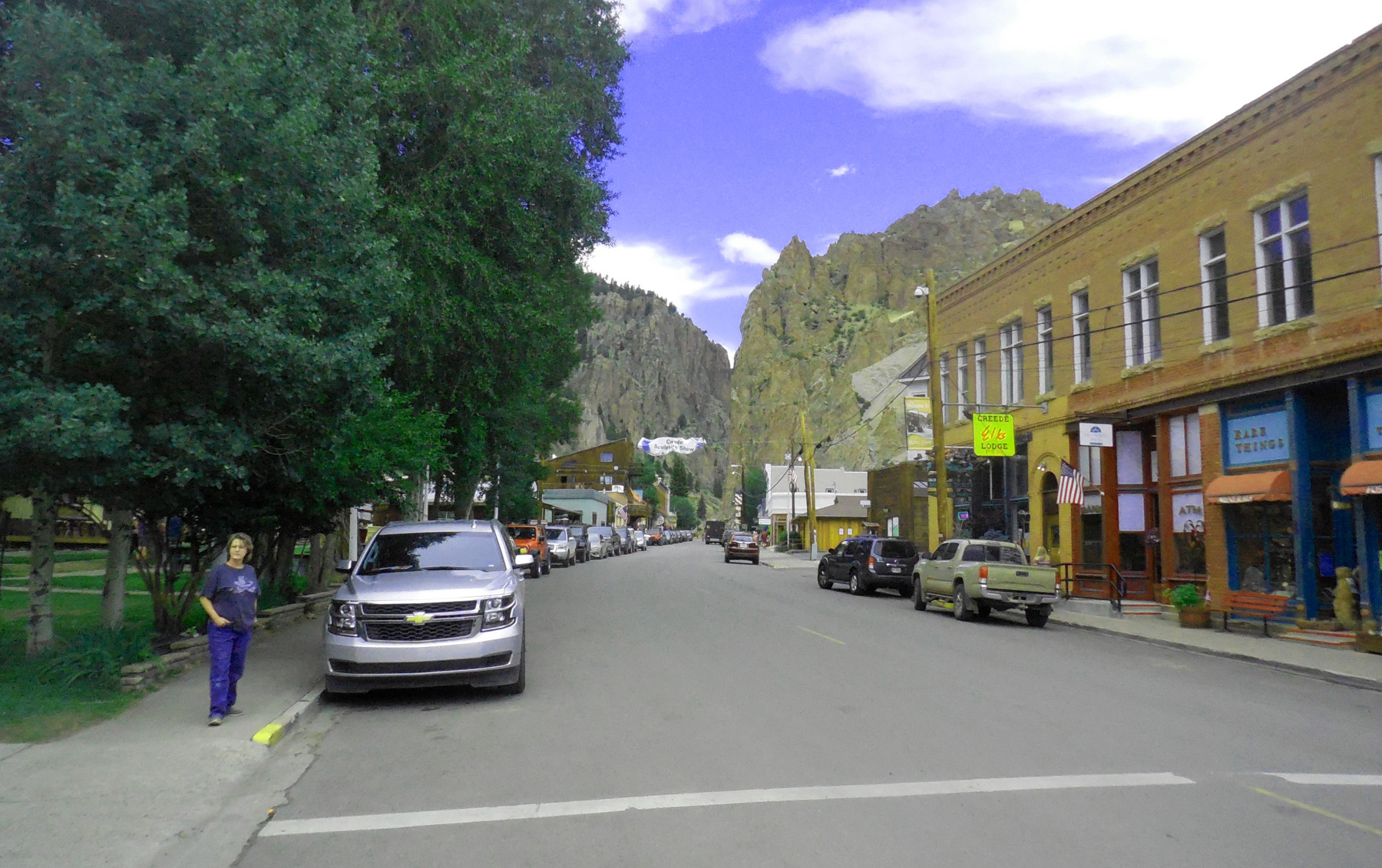
Main Street
Jul 24 2018 - 1:26 pm
Jul 24 2018 - 1:26 pm
54 / 58
Entering Rio Grande Canyon (through the caldera wall)
Nov 05 2020 - 3:58 pm
Nov 05 2020 - 3:58 pm
55 / 58
Volcanic weathering
Nov 05 2020 - 4:02 pm
Nov 05 2020 - 4:02 pm
56 / 58
Rio Grande Palisades
Nov 05 2020 - 4:07 pm
Nov 05 2020 - 4:07 pm
57 / 58
Coming into South Fork (town and river)
Nov 05 2020 - 4:11 pm
Nov 05 2020 - 4:11 pm
58 / 58

South end of CO 149
US 160 at South Fork
US 160 at South Fork