43 Slides
Dinosaur, White River, Rangely, Douglas Creek, Douglas Pass, Salt Creek, Loma
Road Index or use your browser "back" arrow or function 10 second cycle: please choose another user-controlled 2 seconds 5 seconds 30 seconds 1 minute
1 / 43
2 / 43
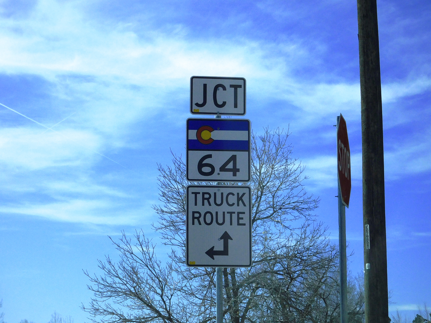
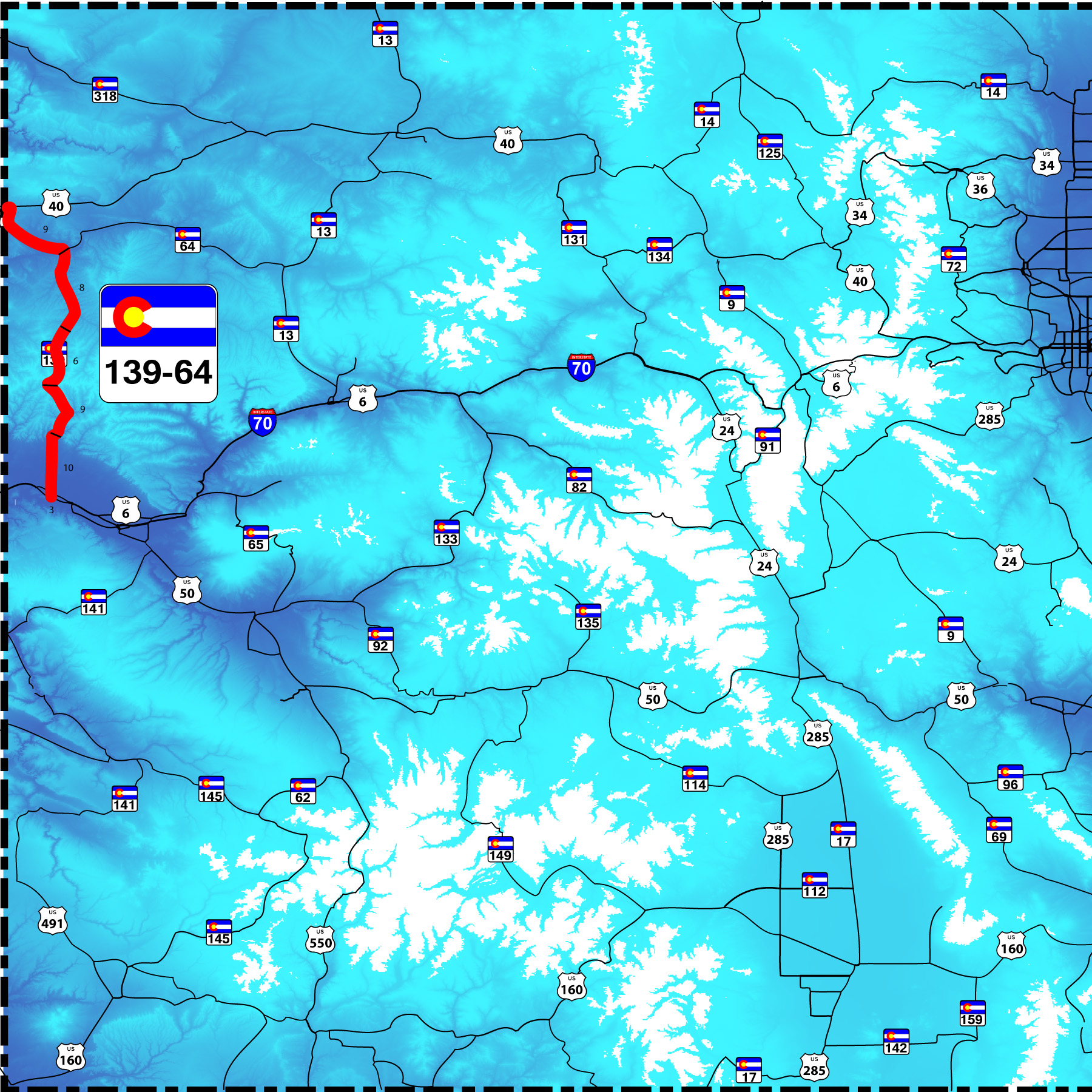
CO 64 is a north extension of CO 139 from Rangely to US 40 (or vice versa)
Mar 28 2021 - 3:05 pm
Mar 28 2021 - 3:05 pm
3 / 43
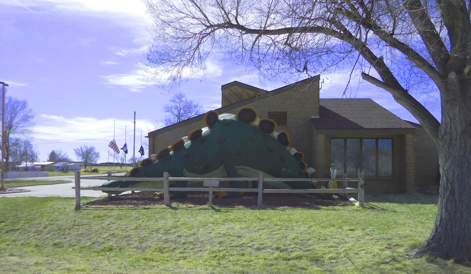
Dinosaur in Dinosaur
Mar 28 2021 - 3:07 pm
Mar 28 2021 - 3:07 pm
4 / 43
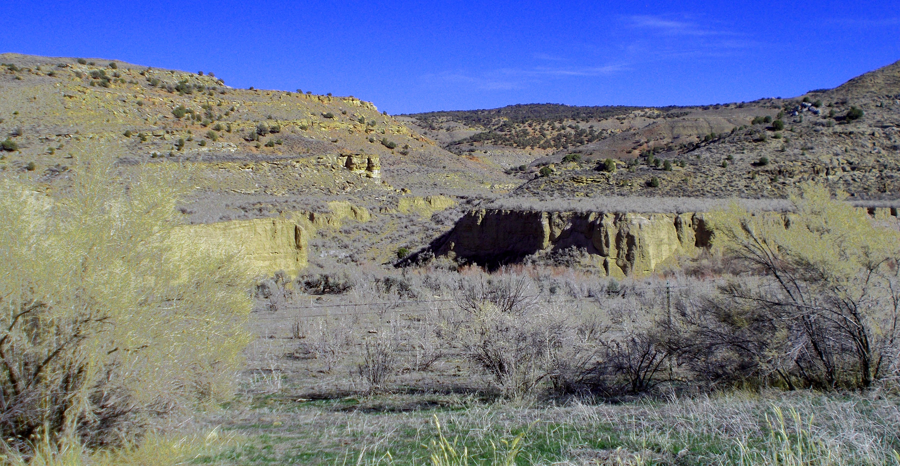
Mesa Verde sandstones hold up the low hills
Mar 28 2021 - 3:10 pm
Mar 28 2021 - 3:10 pm
5 / 43
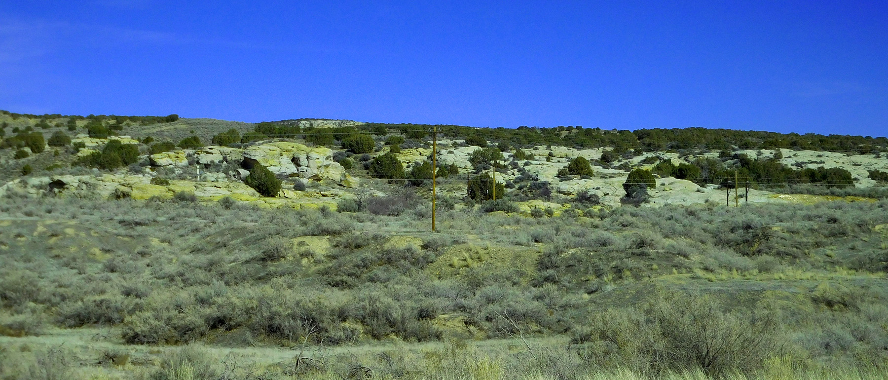
Subtle crest of an anticline in the Mesa Verde Formation
Mar 28 2021 - 3:13 pm
Mar 28 2021 - 3:13 pm
6 / 43
Anticlinal limb
Mar 28 2021 - 3:16 pm
Mar 28 2021 - 3:16 pm
7 / 43
Stinking Water Valley
Mar 28 2021 - 3:18 pm
Mar 28 2021 - 3:18 pm
8 / 43
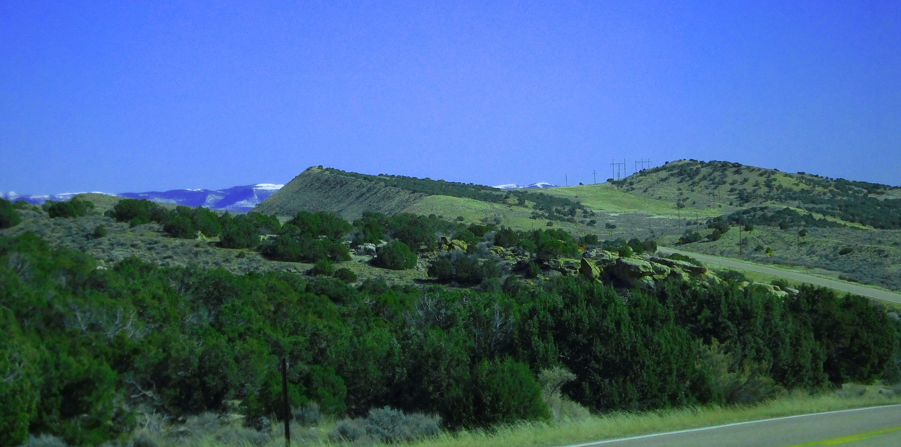
Telephoto of the Roan Cliffs on south of the White River
Mar 28 2021 - 3:25 pm
Mar 28 2021 - 3:25 pm
9 / 43
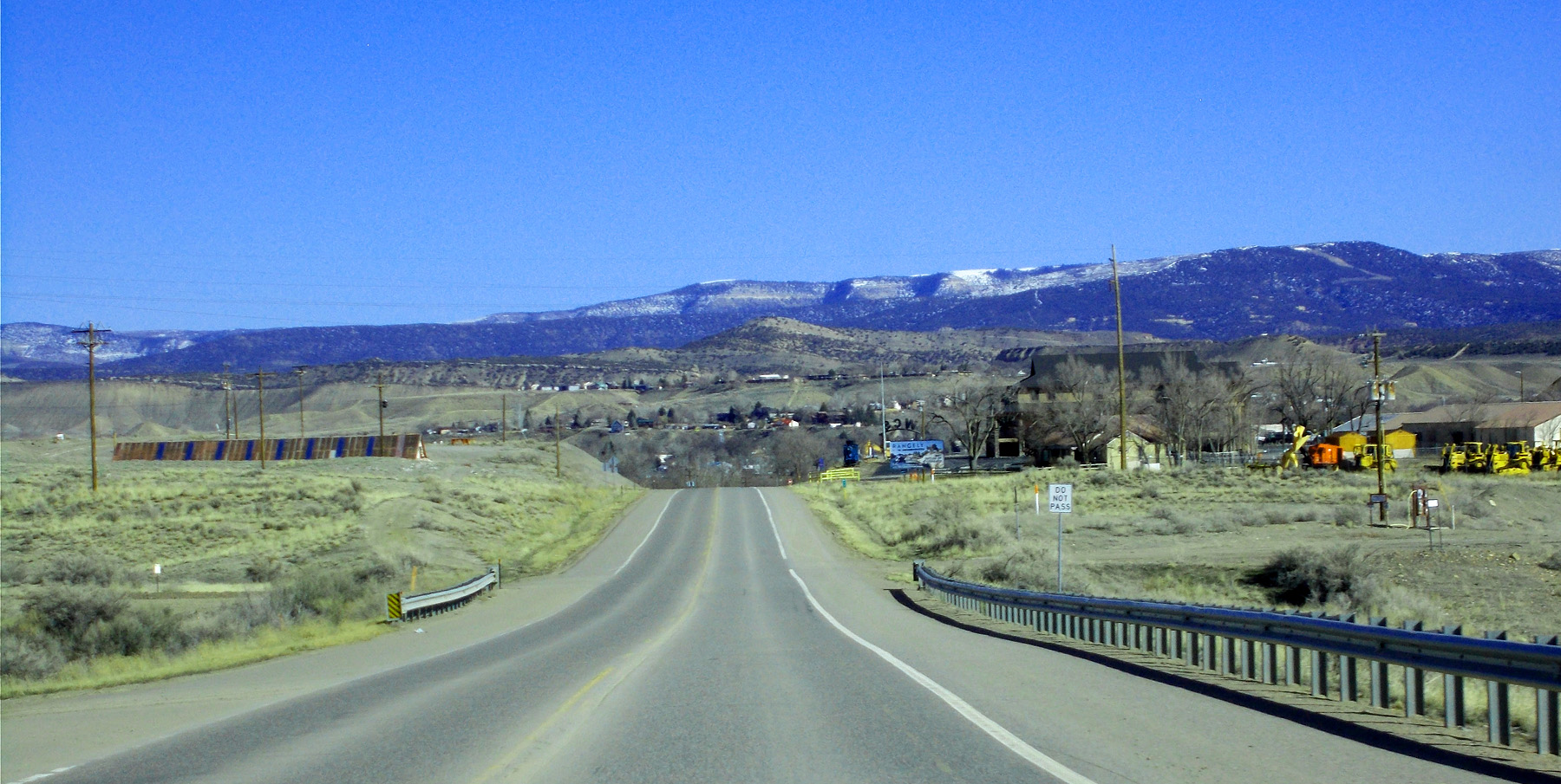
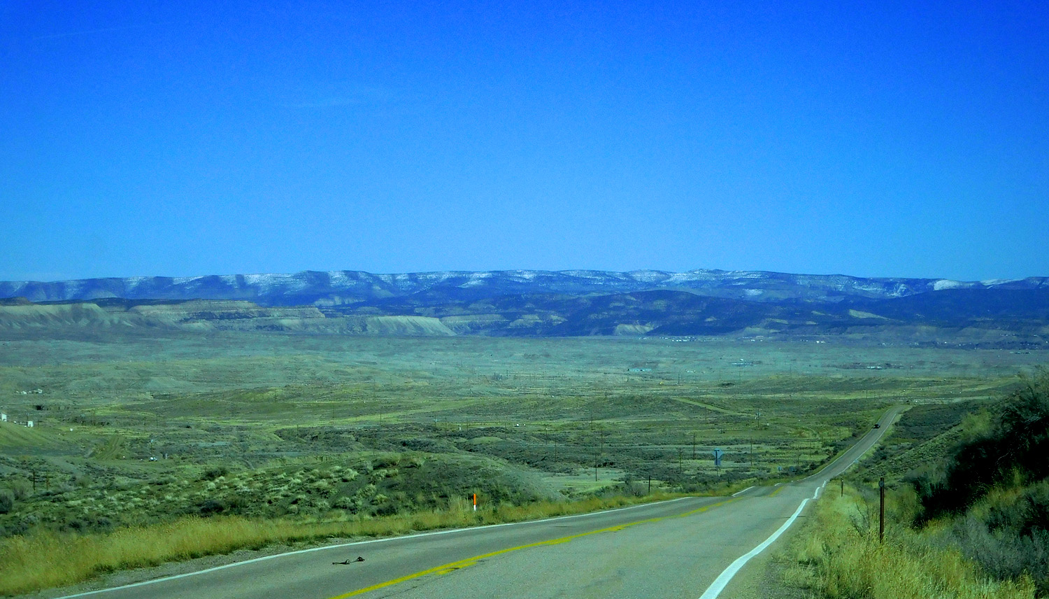
Rangely (on White River terraces)
Mar 28 2021 - 3:28 pm
Mar 28 2021 - 3:28 pm
10 / 43
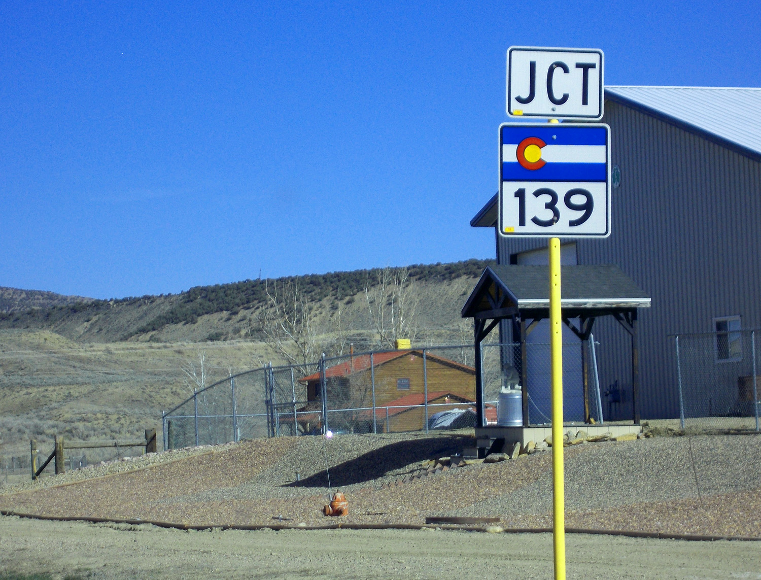
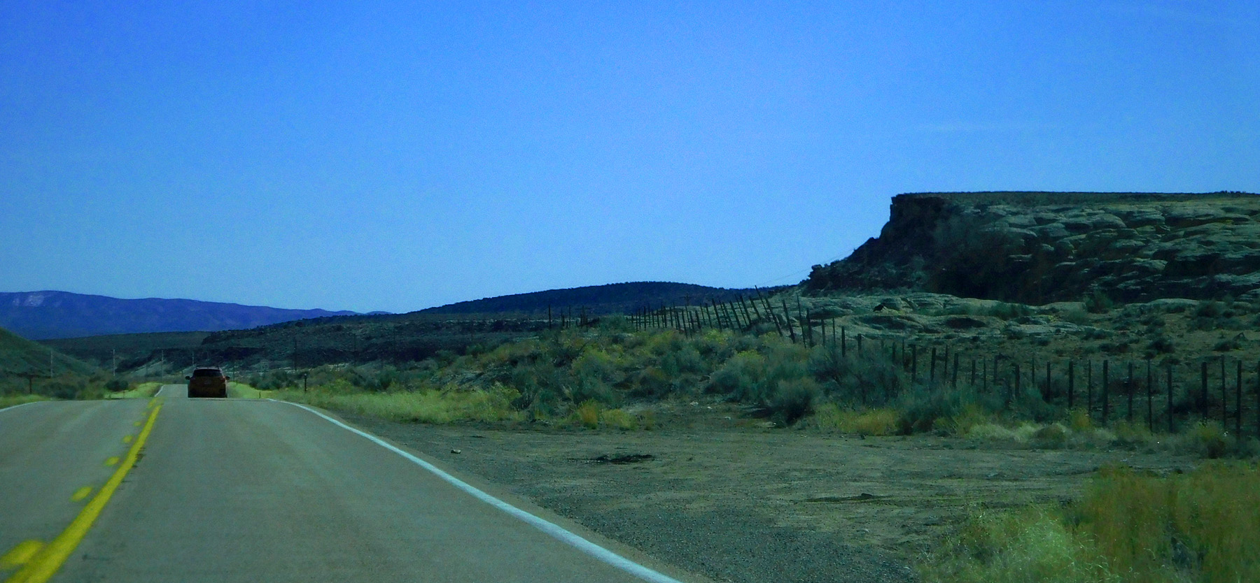
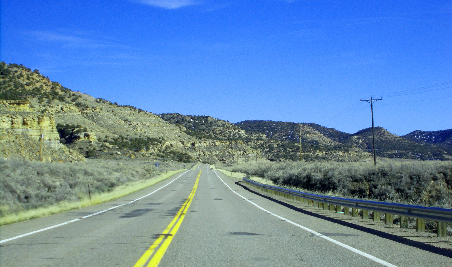
South on CO 139
Mar 28 2021 - 3:34 pm
Mar 28 2021 - 3:34 pm
11 / 43
Through the heart of the Piceance Basin (gas in Loma at the south end of CO 139)
Mar 28 2021 - 3:36 pm
Mar 28 2021 - 3:36 pm
12 / 43
C0 139 follows Douglas Creek from Rangely to Douglas Pass then Salt Creek to Loma
Mar 28 2021 - 3:42 pm
Mar 28 2021 - 3:42 pm
13 / 43
Arroyo Cycle erosion (commonly attributed to overgrazing since white men)
Mar 28 2021 - 3:43 pm
Mar 28 2021 - 3:43 pm
14 / 43
More Mesa Verde Formation overlain by Wasatch Formation
Mar 28 2021 - 3:50 pm
Mar 28 2021 - 3:50 pm
15 / 43
Wide-angle (Roan Cliffs in background)
Mar 28 2021 - 3:56 pm
Mar 28 2021 - 3:56 pm
16 / 43
Roan Cliffs composed of Green River Formation (buff) overlying Wasatch Formation (brown and red)
Mar 28 2021 - 4:02 pm
Mar 28 2021 - 4:02 pm
17 / 43
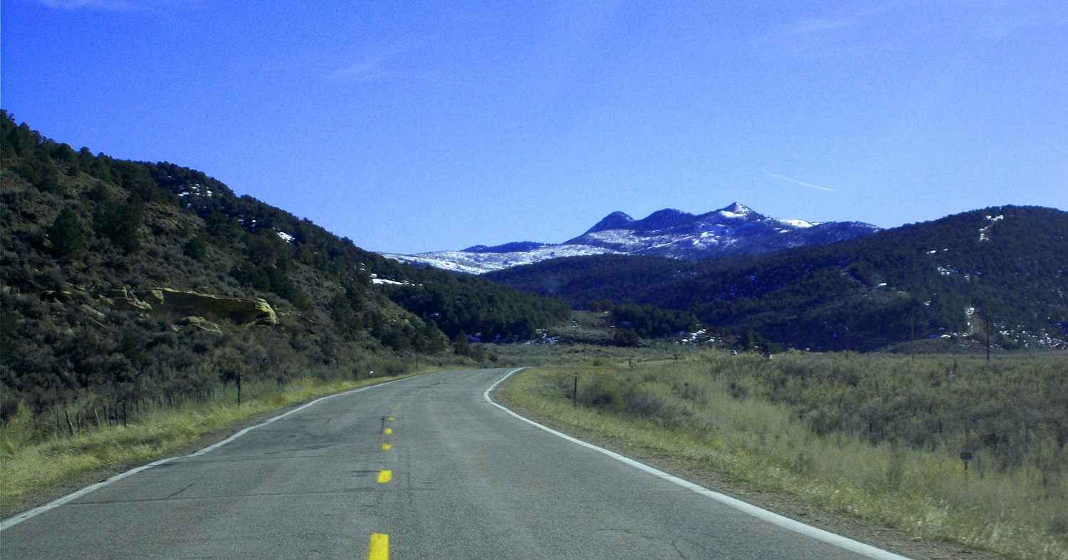
Unnamed triple peaks (~6,260') (opposite No Name Draw)
Mar 28 2021 - 4:09 pm
Mar 28 2021 - 4:09 pm
18 / 43
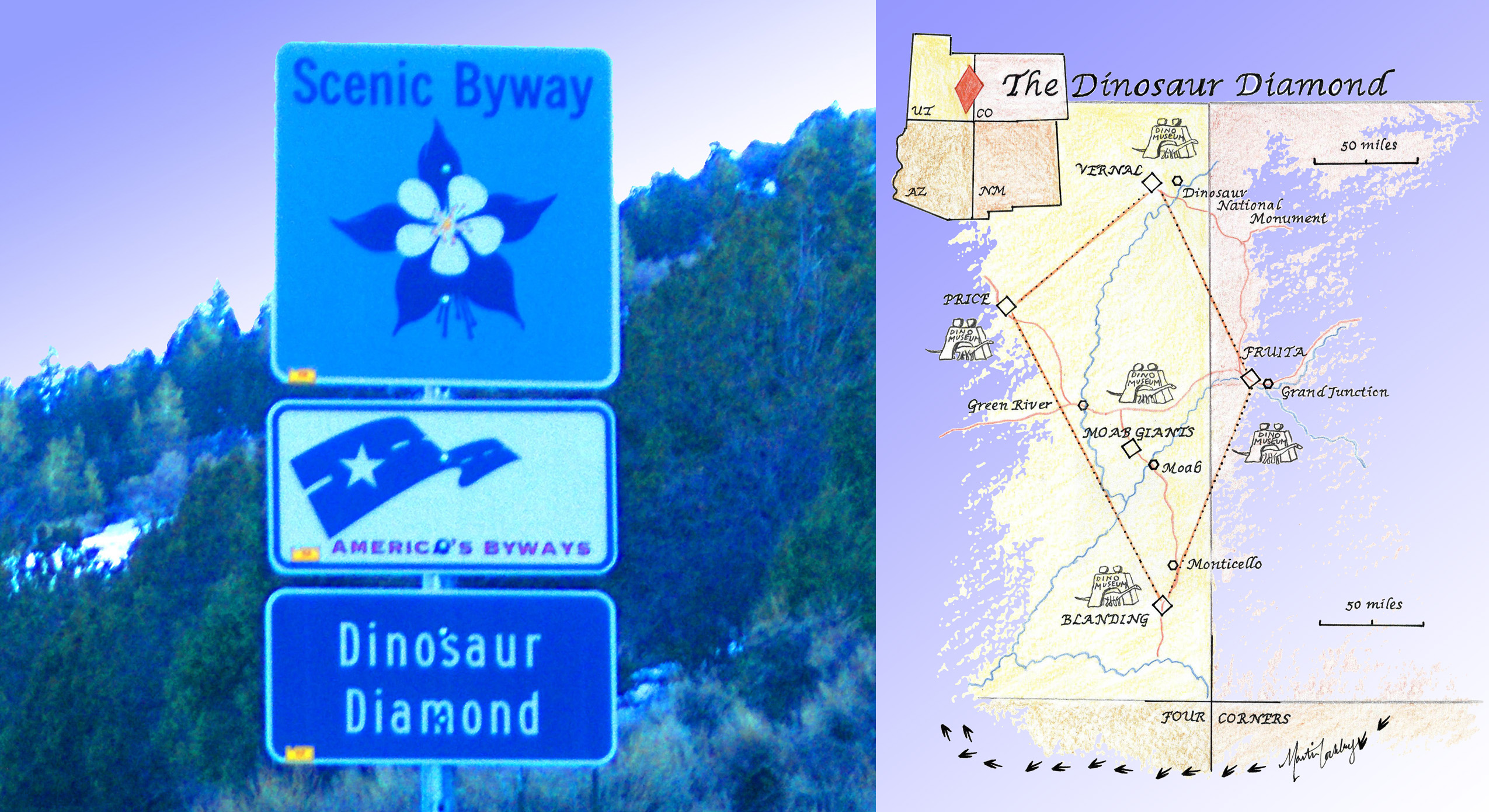
Diamond extends clockwise from Vernal to Dinosaur to Loma to Moab (rather than Blanding) to Price (following US and State roads for more than 440 miles)
Mar 28 2021 - 4:16 pm
Mar 28 2021 - 4:16 pm
19 / 43
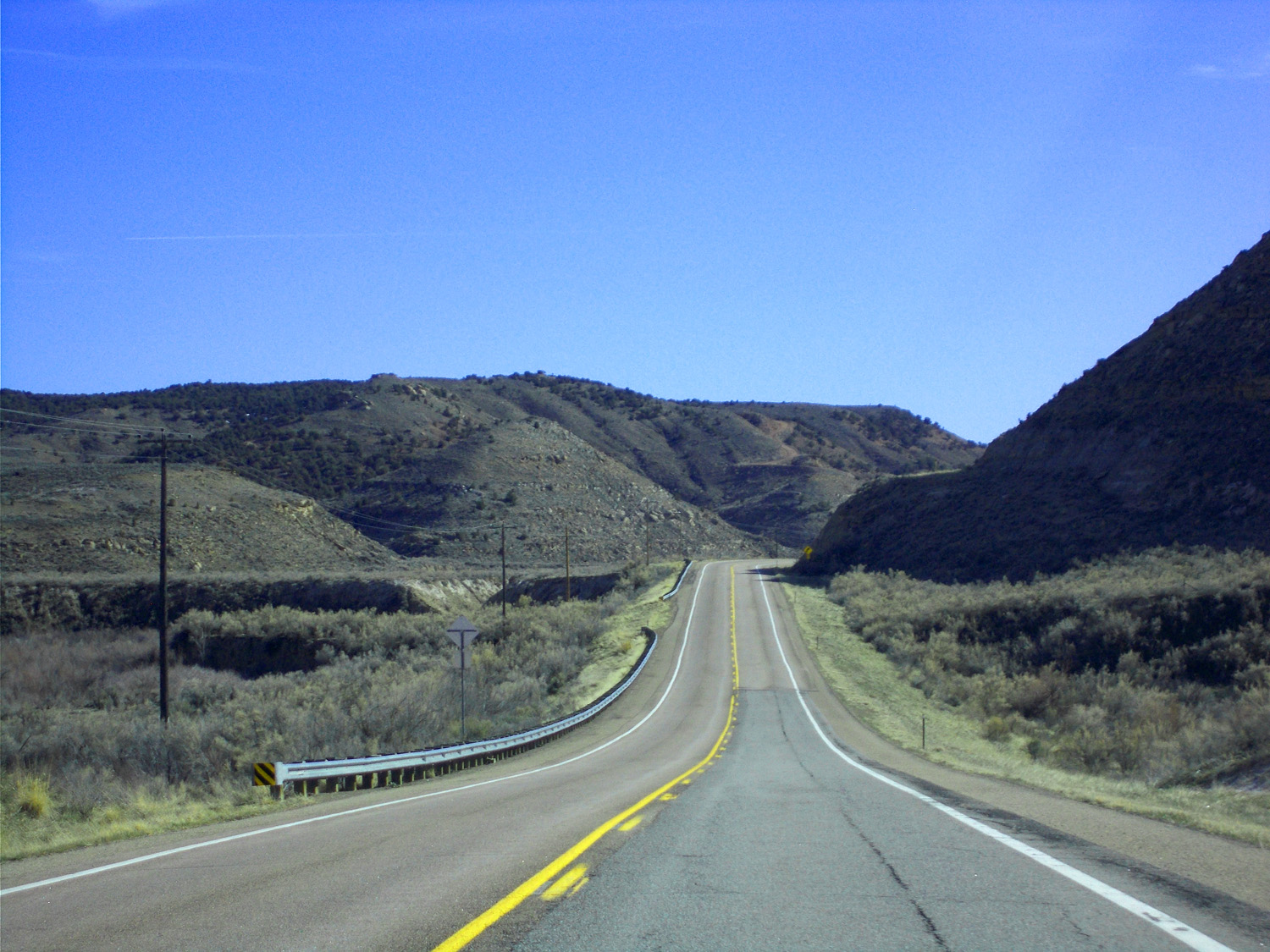
Typical view from CO 139 south
Mar 28 2021 - 4:24 pm
Mar 28 2021 - 4:24 pm
20 / 43

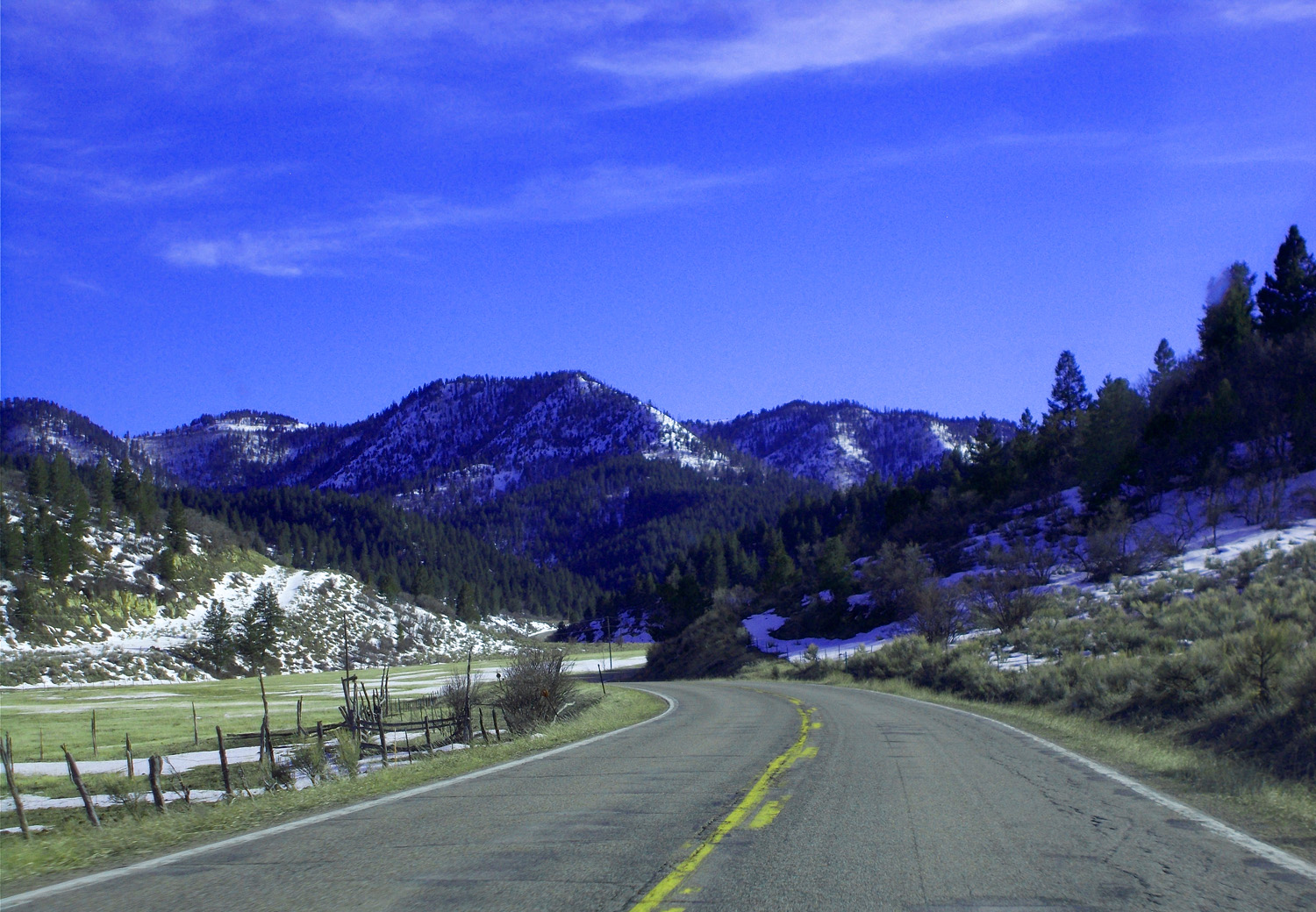
Up to Douglas Pass
Mar 28 2021 - 4:27 pm
Mar 28 2021 - 4:27 pm
21 / 43
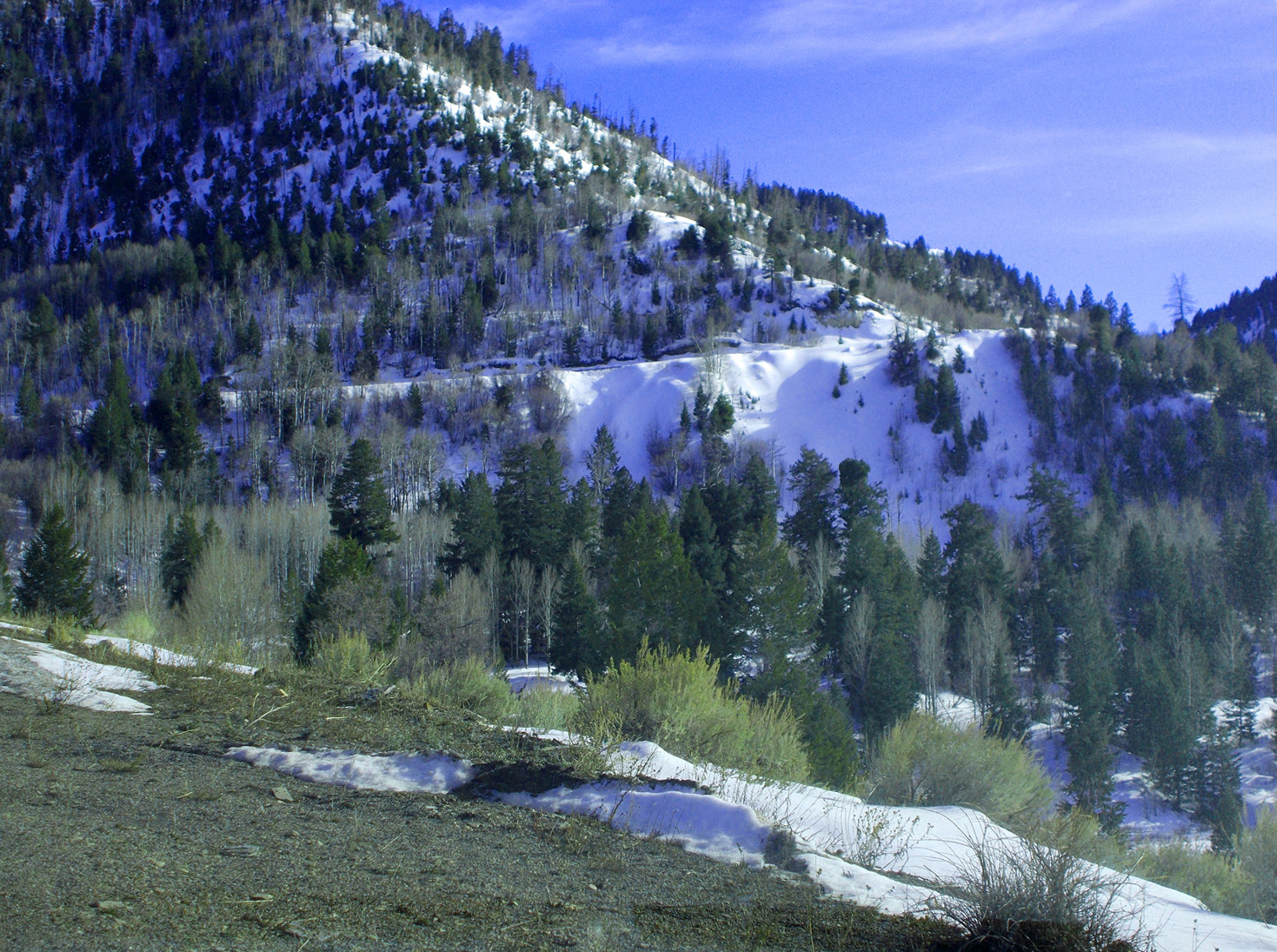
Steep mountain road
Mar 28 2021 - 4:28 pm
Mar 28 2021 - 4:28 pm
22 / 43

Douglas Pass
Mar 28 2021 - 4:30 pm
Mar 28 2021 - 4:30 pm
23 / 43

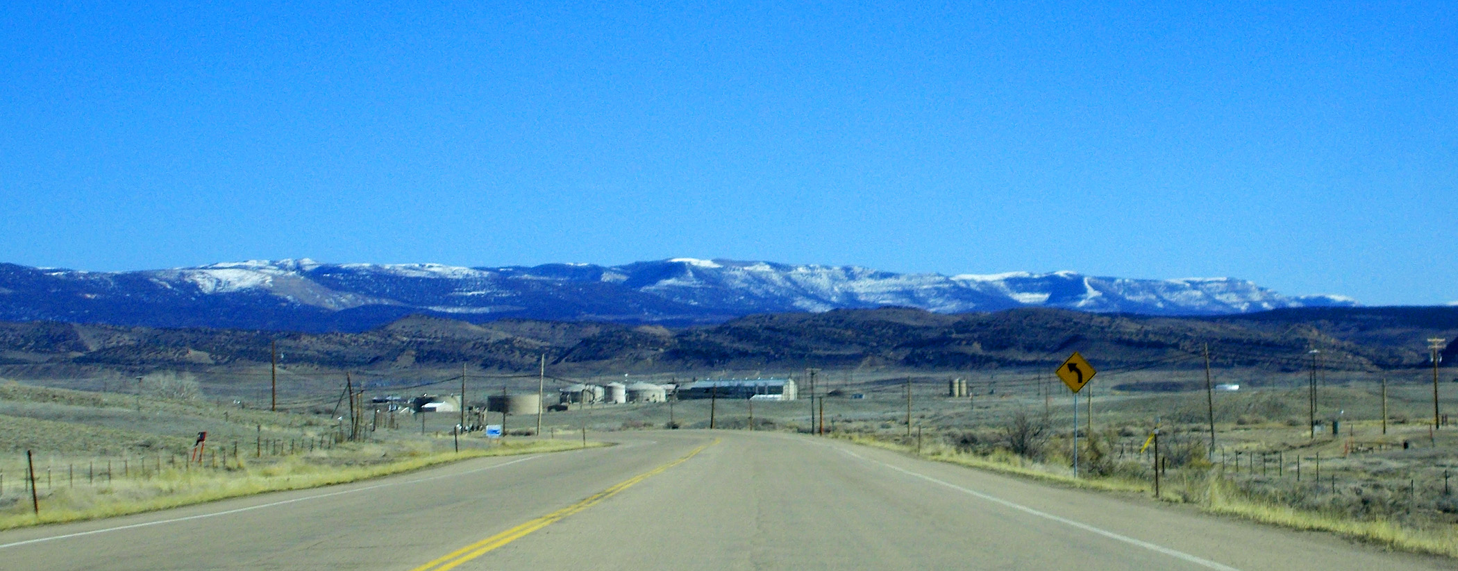
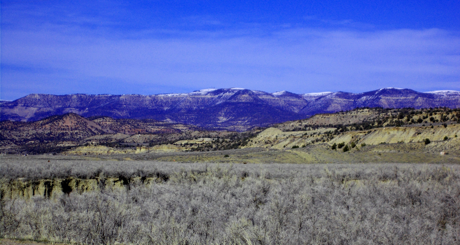
View from the pass (Roan Cliffs, Uncompahgre Plateau, and San Juan Mountains 120 miles away, exceptionally clear day)
Mar 28 2021 - 4:33 pm
Mar 28 2021 - 4:33 pm
24 / 43

Road cut through Green River shale
Mar 28 2021 - 4:36 pm
Mar 28 2021 - 4:36 pm
25 / 43

From the bottom of the road cut
Mar 28 2021 - 4:39 pm
Mar 28 2021 - 4:39 pm
26 / 43

Roan Cliffs
Mar 28 2021 - 4:39 pm
Mar 28 2021 - 4:39 pm
27 / 43

Green River Formation (source of oil shale, our carbon ace in the hole)
Mar 28 2021 - 4:44 pm
Mar 28 2021 - 4:44 pm
28 / 43

Brushy Point (8,443') from West Douglas Creek, tributary to White River
Mar 28 2021 - 4:47 pm
Mar 28 2021 - 4:47 pm
29 / 43

Kimball Mountain (8,443') from West Salt Creek, tributary to Colorado River
Mar 28 2021 - 4:53 pm
Mar 28 2021 - 4:53 pm
30 / 43

Mesa Verde Formation
Mar 28 2021 - 4:58 pm
Mar 28 2021 - 4:58 pm
31 / 43

Telephoto Brush Point
Mar 28 2021 - 5:05 pm
Mar 28 2021 - 5:05 pm
32 / 43

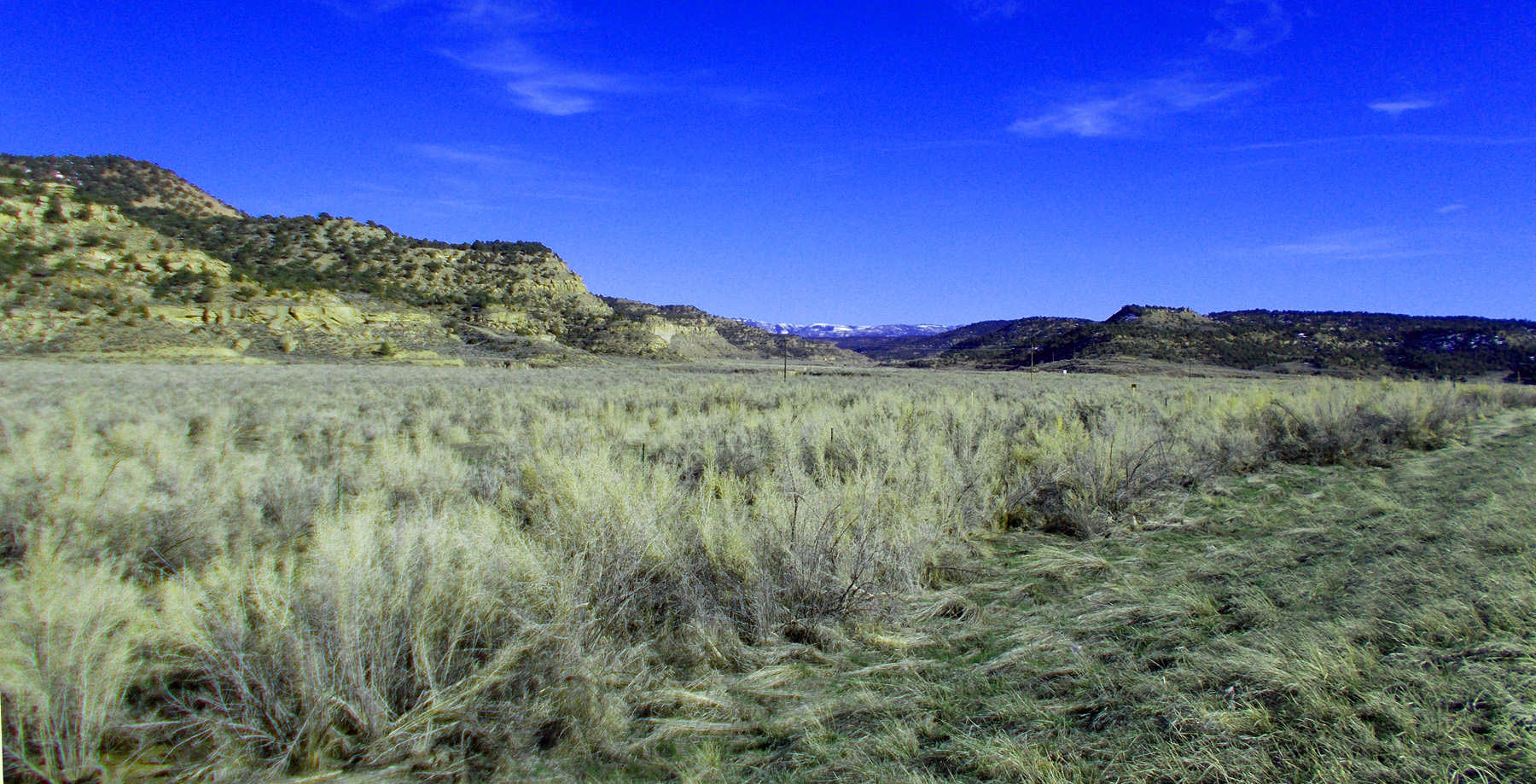
Salt Creek Valley
Mar 28 2021 - 5:06 pm
Mar 28 2021 - 5:06 pm
33 / 43

Wasatch Formation, similar rocks in Bryce Canyon
Mar 28 2021 - 5:10 pm
Mar 28 2021 - 5:10 pm
34 / 43

Grand Valley, Uncompahgre Plateau in background
Mar 28 2021 - 5:14 pm
Mar 28 2021 - 5:14 pm
35 / 43

Book Cliffs
Mar 28 2021 - 5:16 pm
Mar 28 2021 - 5:16 pm
36 / 43

La Sal Mountains (background), plunging Uncompahgre Plateau (midground) over Grand Valley pediments
Mar 28 2021 - 5:16 pm
Mar 28 2021 - 5:16 pm
37 / 43

Snow capped Uncompahgre Plateau at 10,000' on the southwest side of Grand Valley
Mar 28 2021 - 5:23 pm
Mar 28 2021 - 5:23 pm
38 / 43

Snow capped Grand Mesa at 10,000' on the northeast side of Grand Valley (Mt. Garfield (6,765') and Book Cliffs dwarfed by Grand Mesa)
Mar 28 2021 - 5:29 pm
Mar 28 2021 - 5:29 pm
39 / 43

Loma along the Colorado River
Mar 28 2021 - 5:33 pm
Mar 28 2021 - 5:33 pm
40 / 43

Irrigation at west end of the Highline Canal
Mar 28 2021 - 5:35 pm
Mar 28 2021 - 5:35 pm
41 / 43

I 70 (south end of CO 139)
Mar 28 2021 - 5:43 pm
Mar 28 2021 - 5:43 pm
42 / 43

Just beyond the end, a parking lot
Mar 28 2021 - 5:43 pm
Mar 28 2021 - 5:43 pm
43 / 43

Where I vainly tried to capture the reflected sunlight on west facing slopes
Mar 28 2021 - 5:44 pm
Mar 28 2021 - 5:44 pm