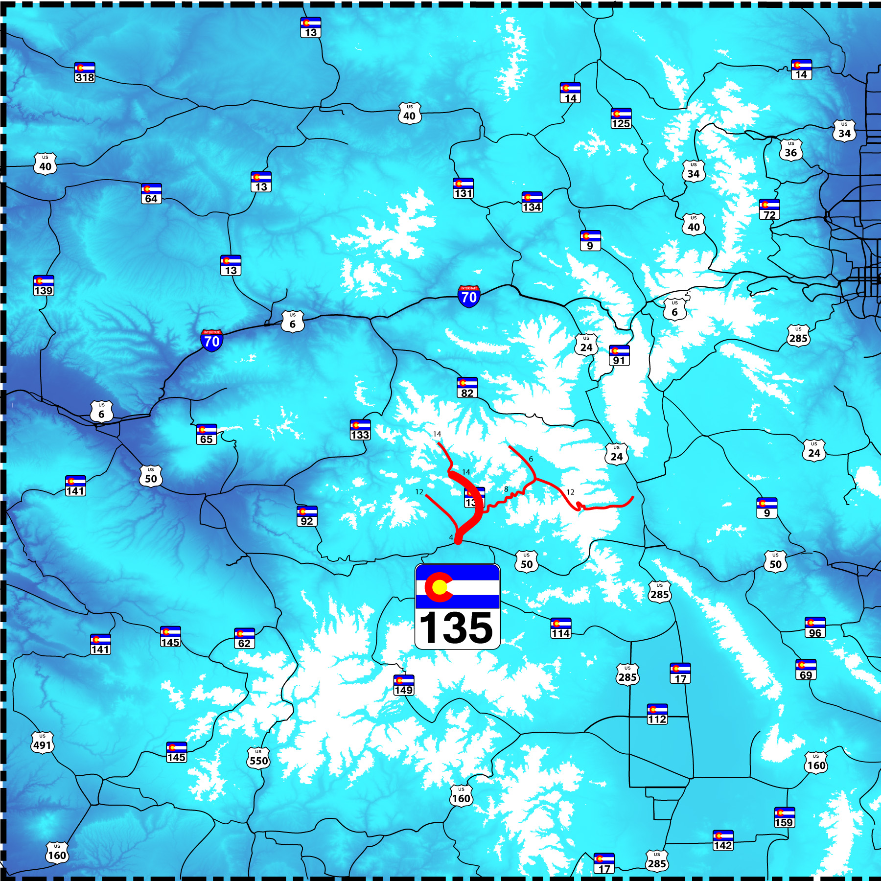
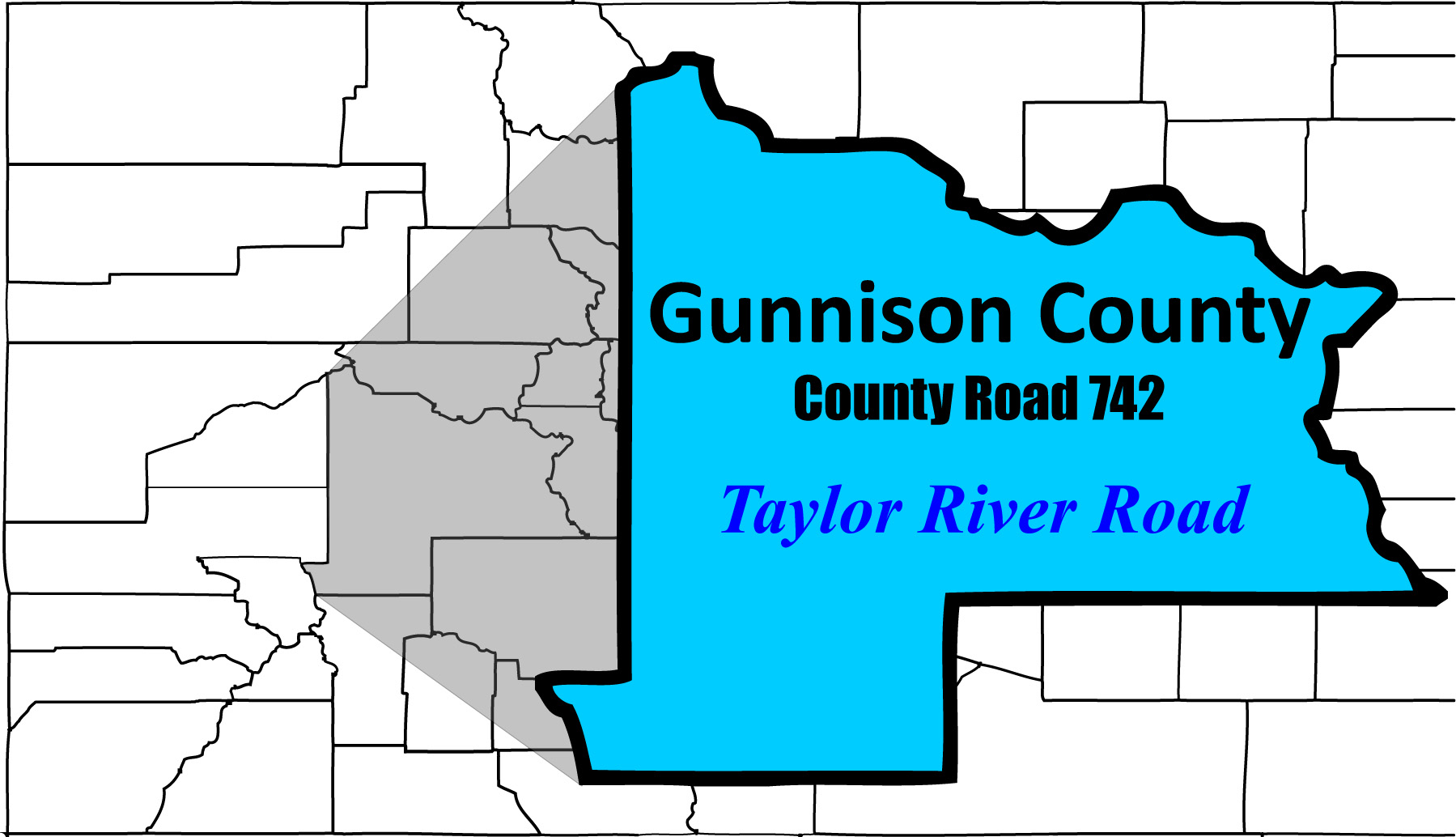
78 slides along Colorado 135 to Crested Butte
and its extension Gothic Road as well as Ohio Creek Road, Taylor River Road, and Cumberland Pass Road
Road Index click green ovals to jump ahead or behind user-contolled cycle: choose an automated cycle 2 seconds 5 seconds 10 seconds 30 seconds 60 seconds
❮
❯


1 / 78
2 / 78
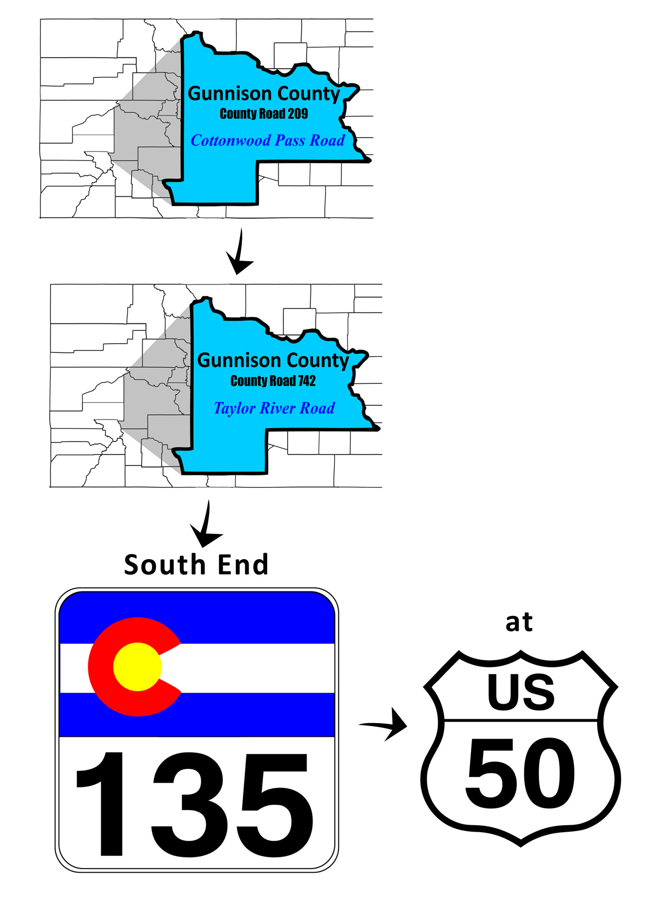
South end of CO 135
US 50 in Gunnison
US 50 in Gunnison
3 / 78
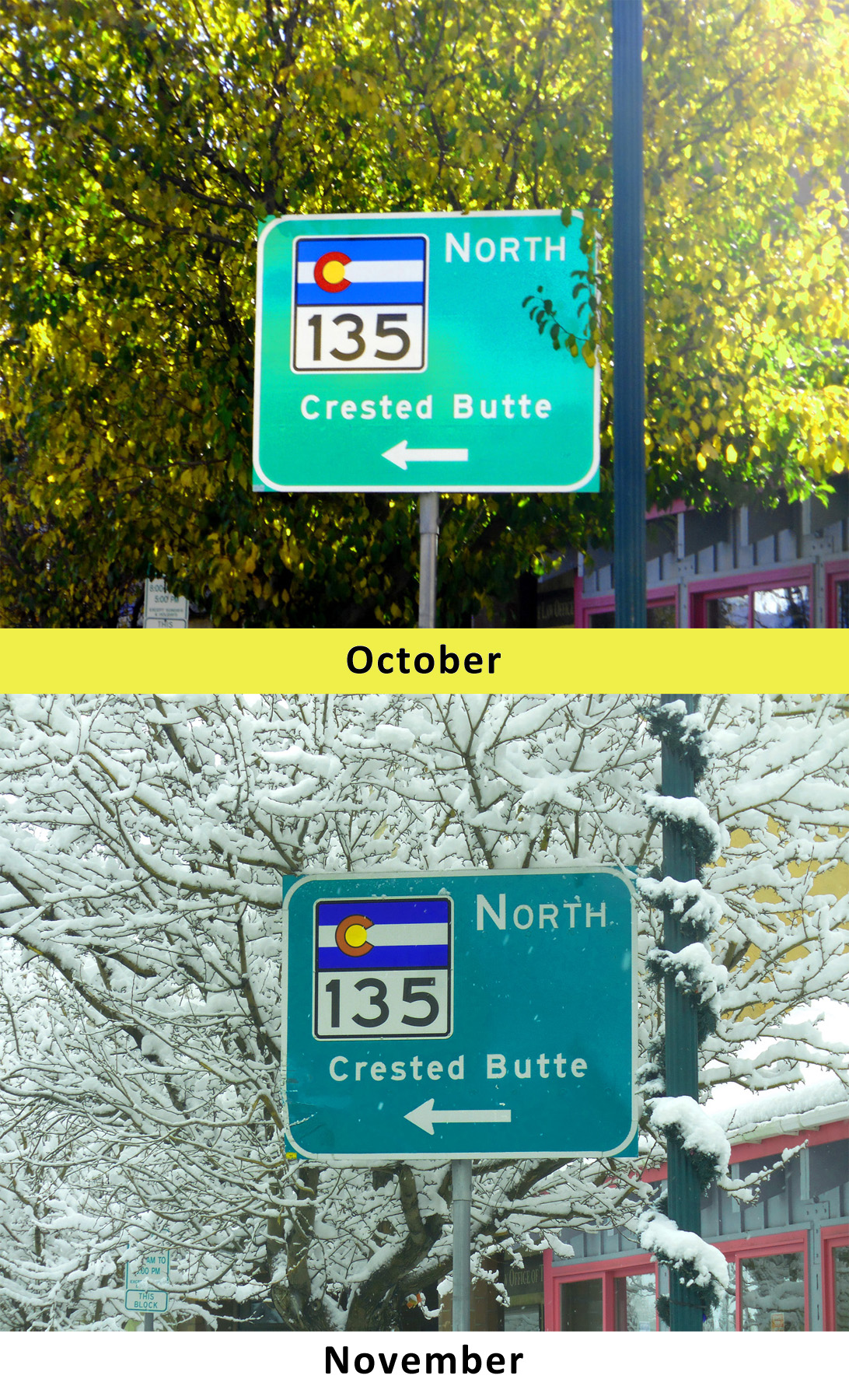
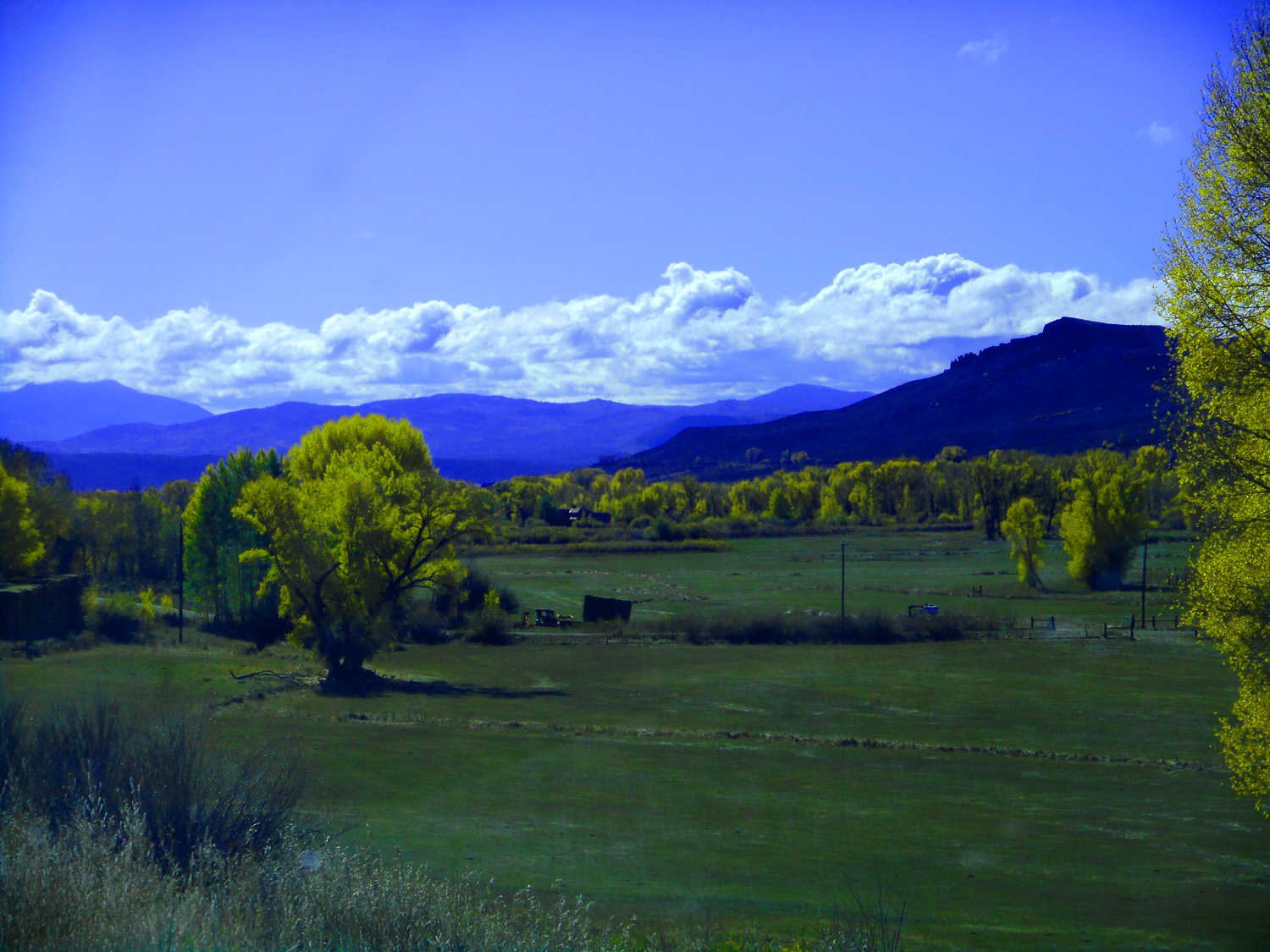
What a difference a month makes
Oct 10 2021 - 7:52 am
Nov 24 2020 - 9:29 am
Oct 10 2021 - 7:52 am
Nov 24 2020 - 9:29 am
4 / 78
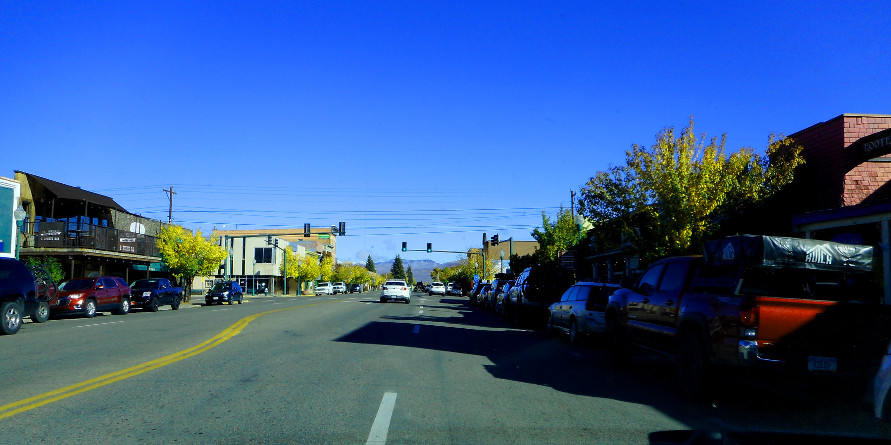
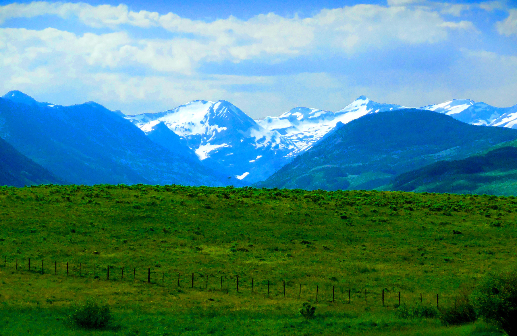
Downtown Gunnison
Oct 10 2021 - 7:52 am
Oct 10 2021 - 7:52 am
5 / 78
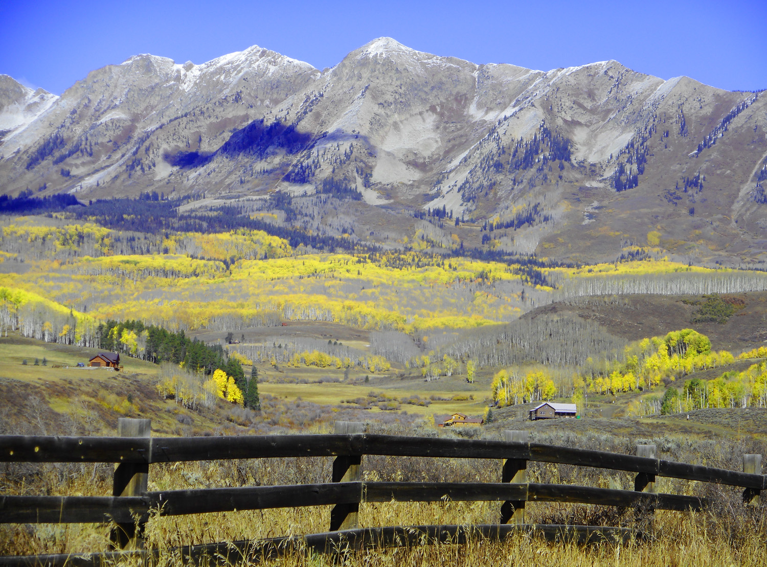
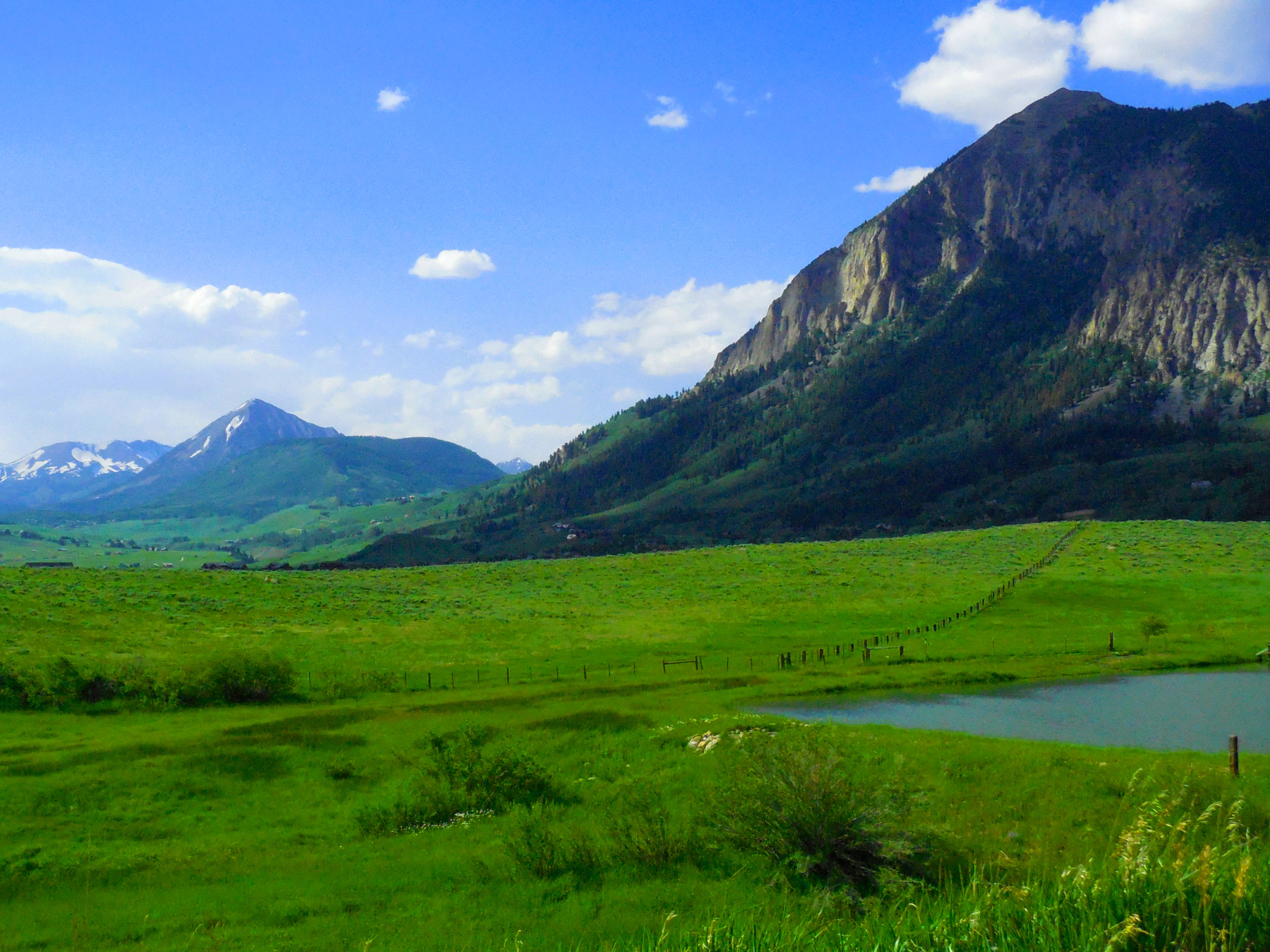
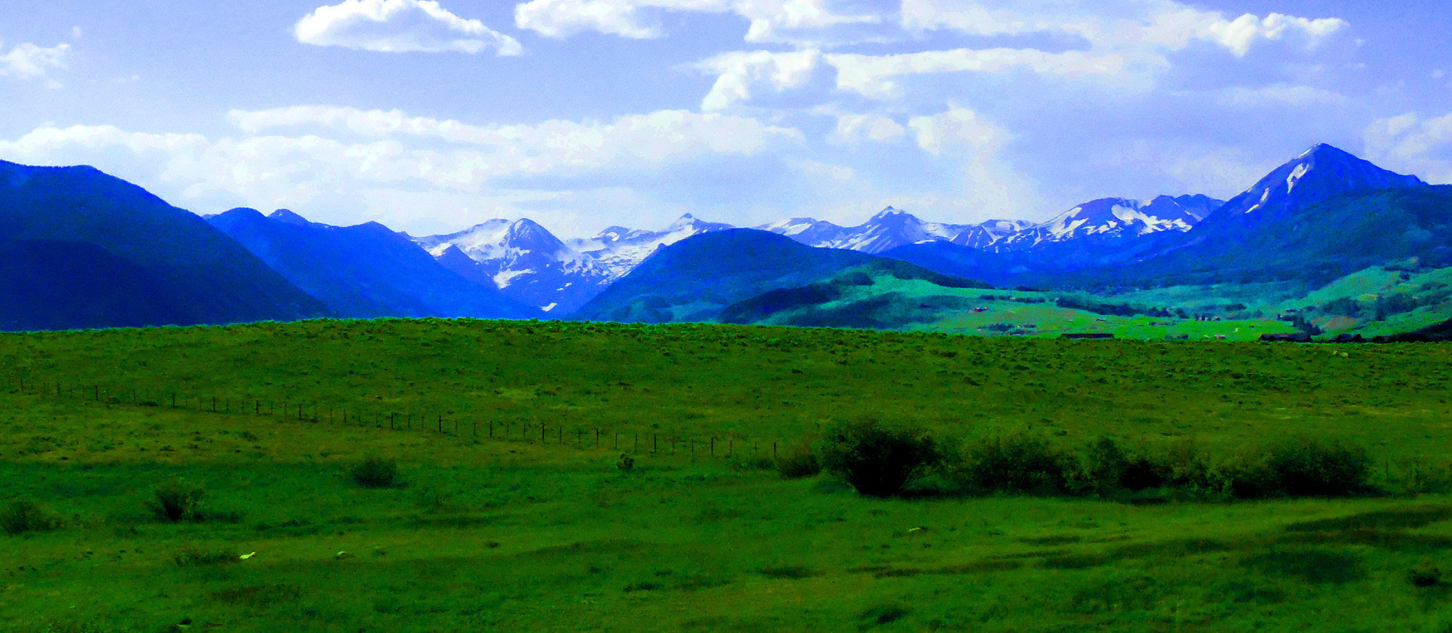
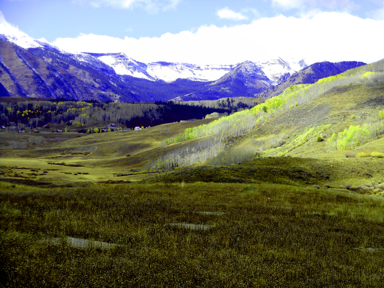
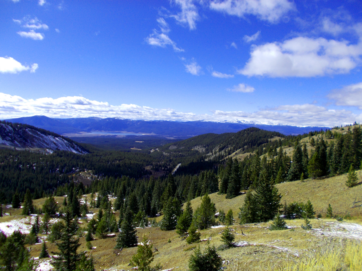
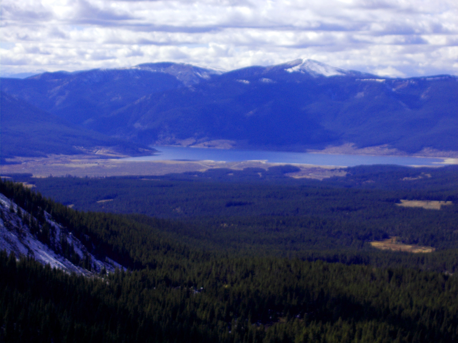
Gunnison River Valley
Oct 10 2021 - 7:55 am
Oct 10 2021 - 7:55 am
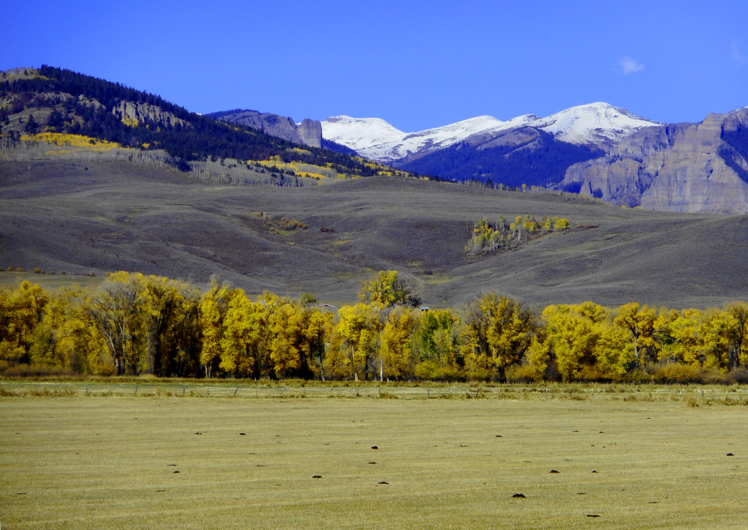
6 / 78
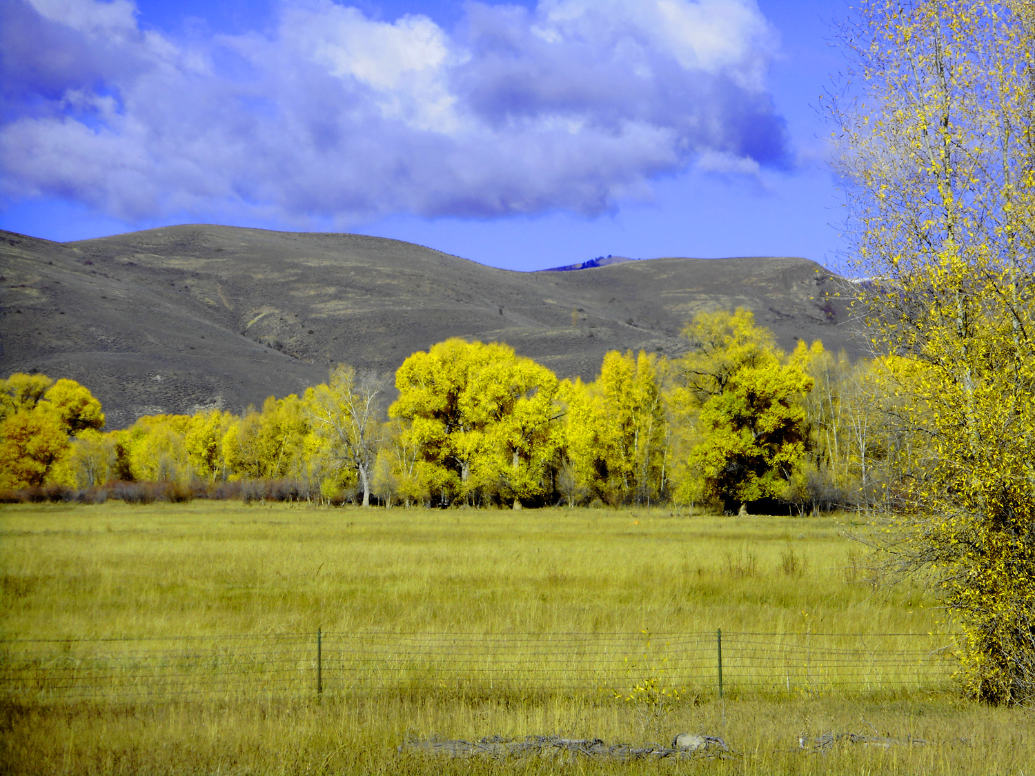
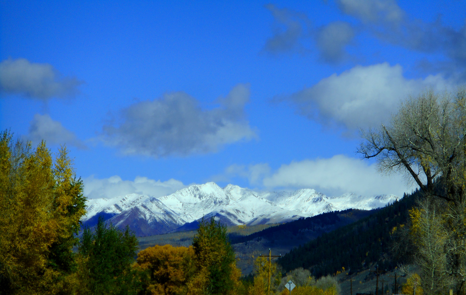
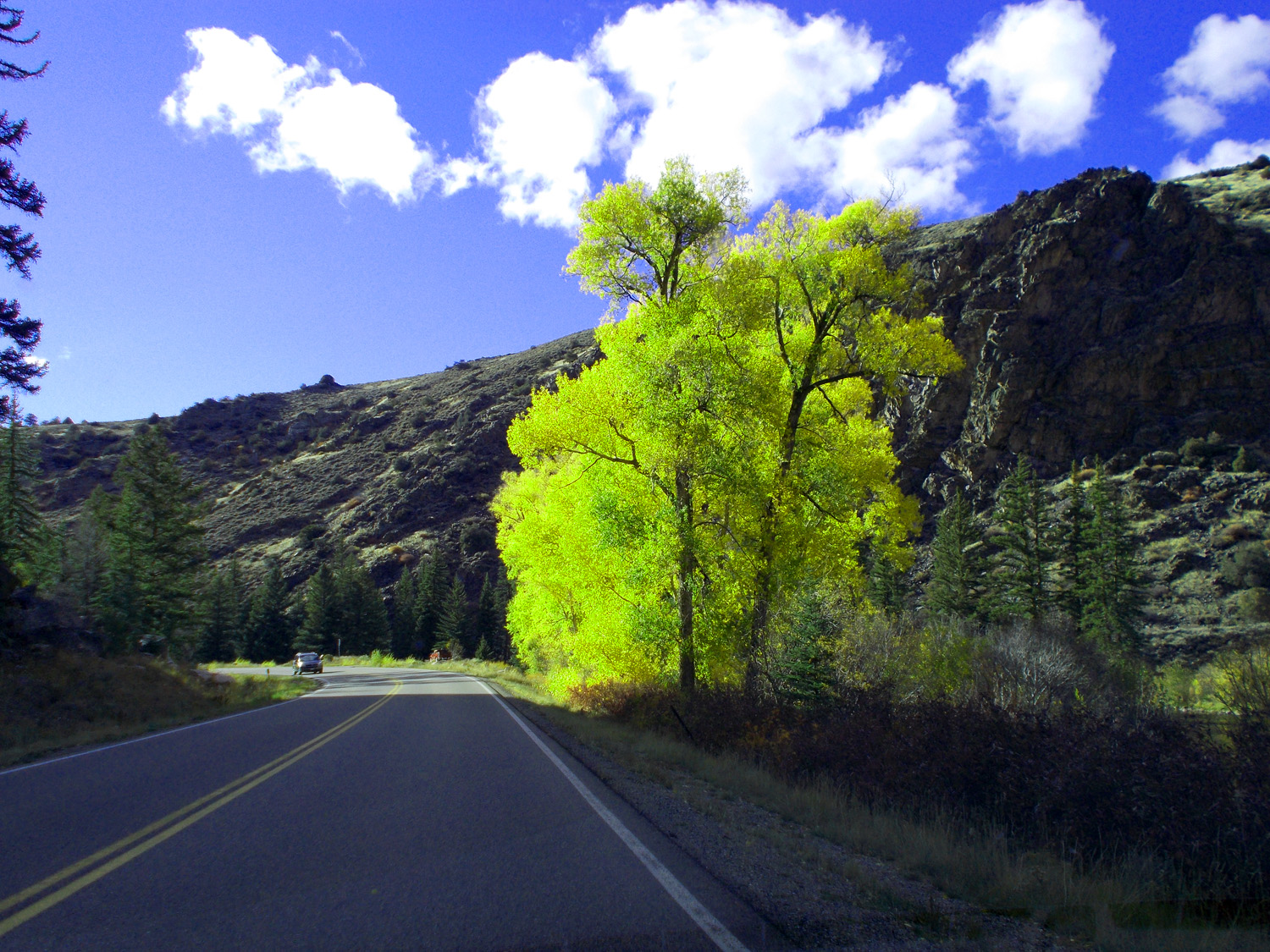
Golden Ash, and Cottonwoods compliment Aspen in the valleys
Oct 10 2021 - 7:55 am
Oct 10 2021 - 7:55 am
7 / 78
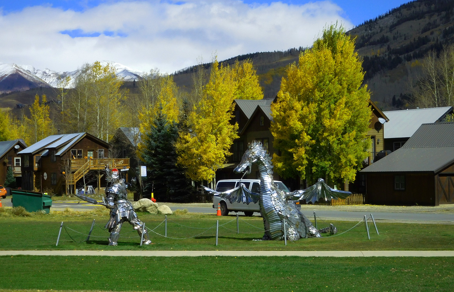
Ohio Creek Road
8 / 78
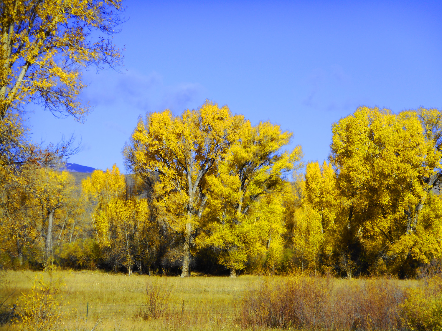
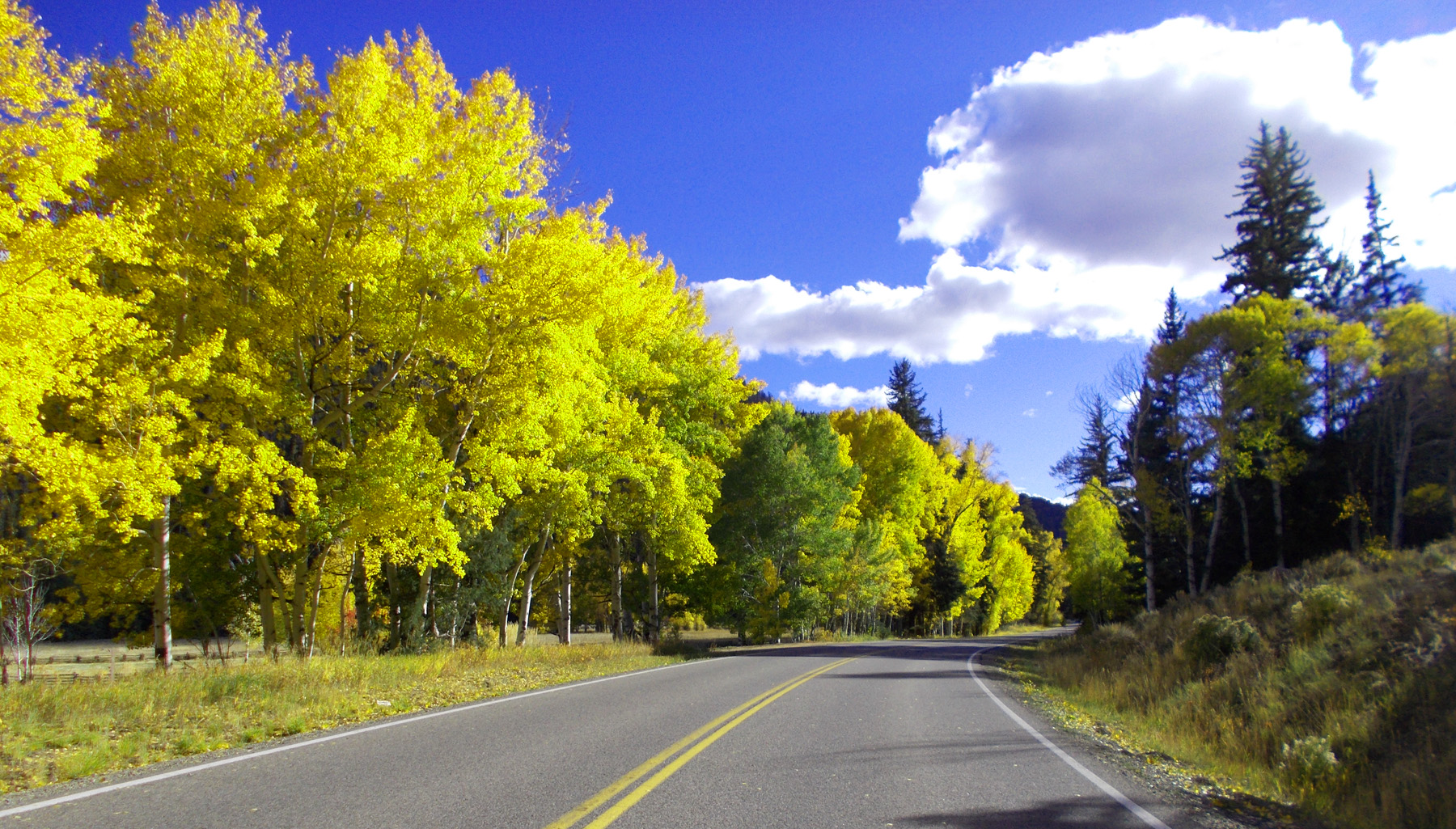
Golden Aspen, Ash, and Cottonwoods line the road along Ohio Creek
Oct 10 2021 - 8:00 am
Oct 10 2021 - 8:00 am
9 / 78
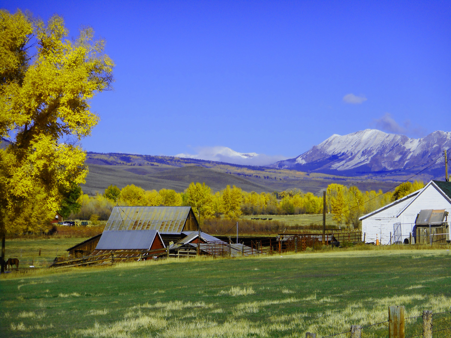
A ranch along Ohio Creek Road, Anthracite Range in background
Oct 10 2021 - 8:02 am
Oct 10 2021 - 8:02 am
10 / 78
Telephoto of the ranch: Ash tree in foreground, mixed Aspen and Cottonwood along the creek in near middle ground, Aspen on the slopes in far middle ground, Ohio Peak (12,271') in background
Oct 10 2021 - 8:02 am
Oct 10 2021 - 8:02 am
11 / 78
Downvalley toward the sun: transmitted light fires-up the gold
Oct 10 2021 - 8:43 am
Oct 10 2021 - 8:43 am
12 / 78
Carbon Peak (12,079') typical laccolith of the West Elk Mountains
Oct 10 2021 - 8:05 am
Oct 10 2021 - 8:05 am
13 / 78
Anthracite Range and Carbon Peak from upper Ohio Creek Valley, both laccoliths
Oct 10 2021 - 8:13 am
Oct 10 2021 - 8:13 am
14 / 78
The Castles Ridge ash deposits from West Elk Peak (13,035' background)
Oct 10 2021 - 8:08 am
Oct 10 2021 - 8:08 am
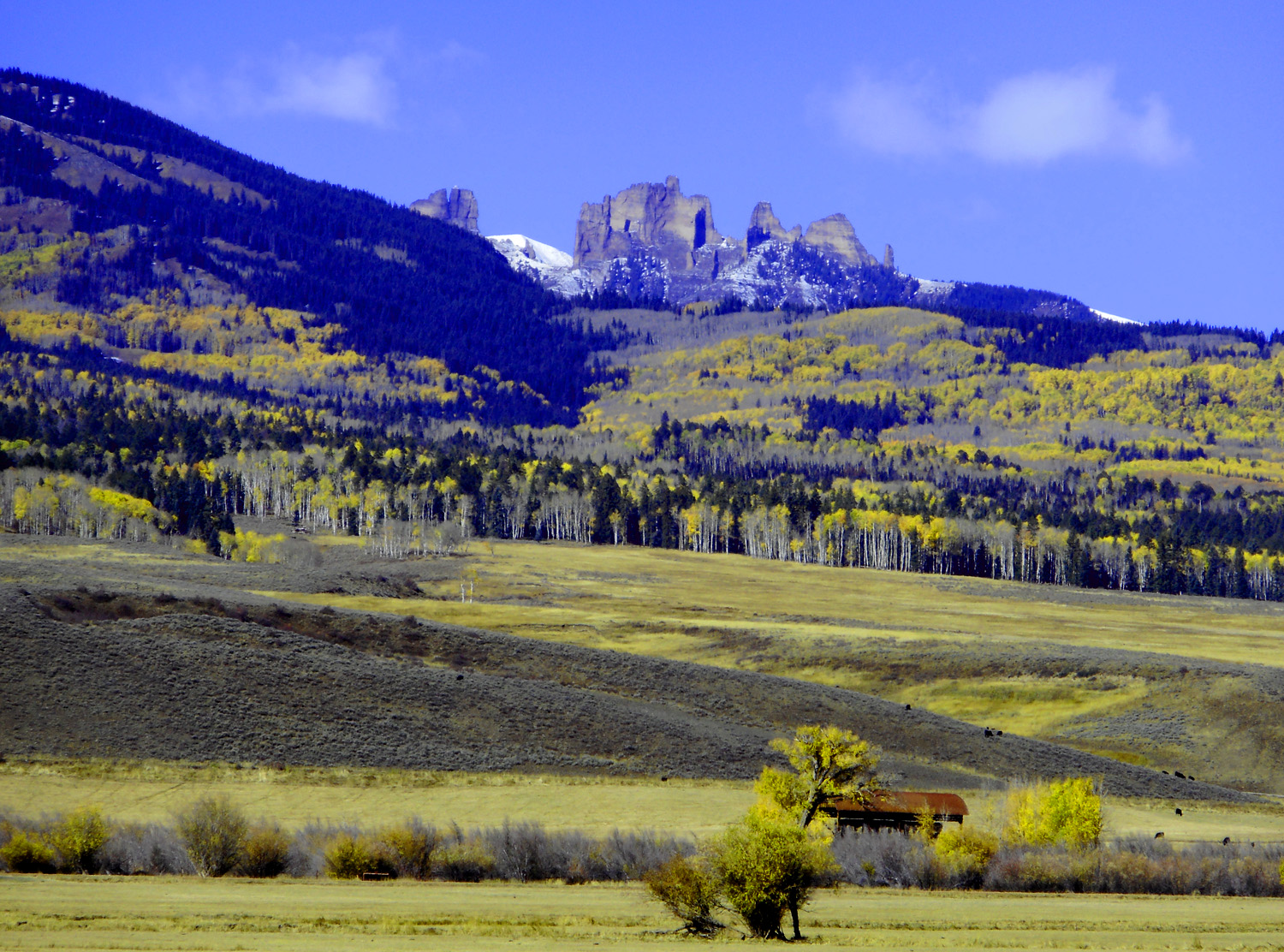
15 / 78
Telephoto of "The Castle"
Oct 10 2021 - 8:15 am
Oct 10 2021 - 8:15 am
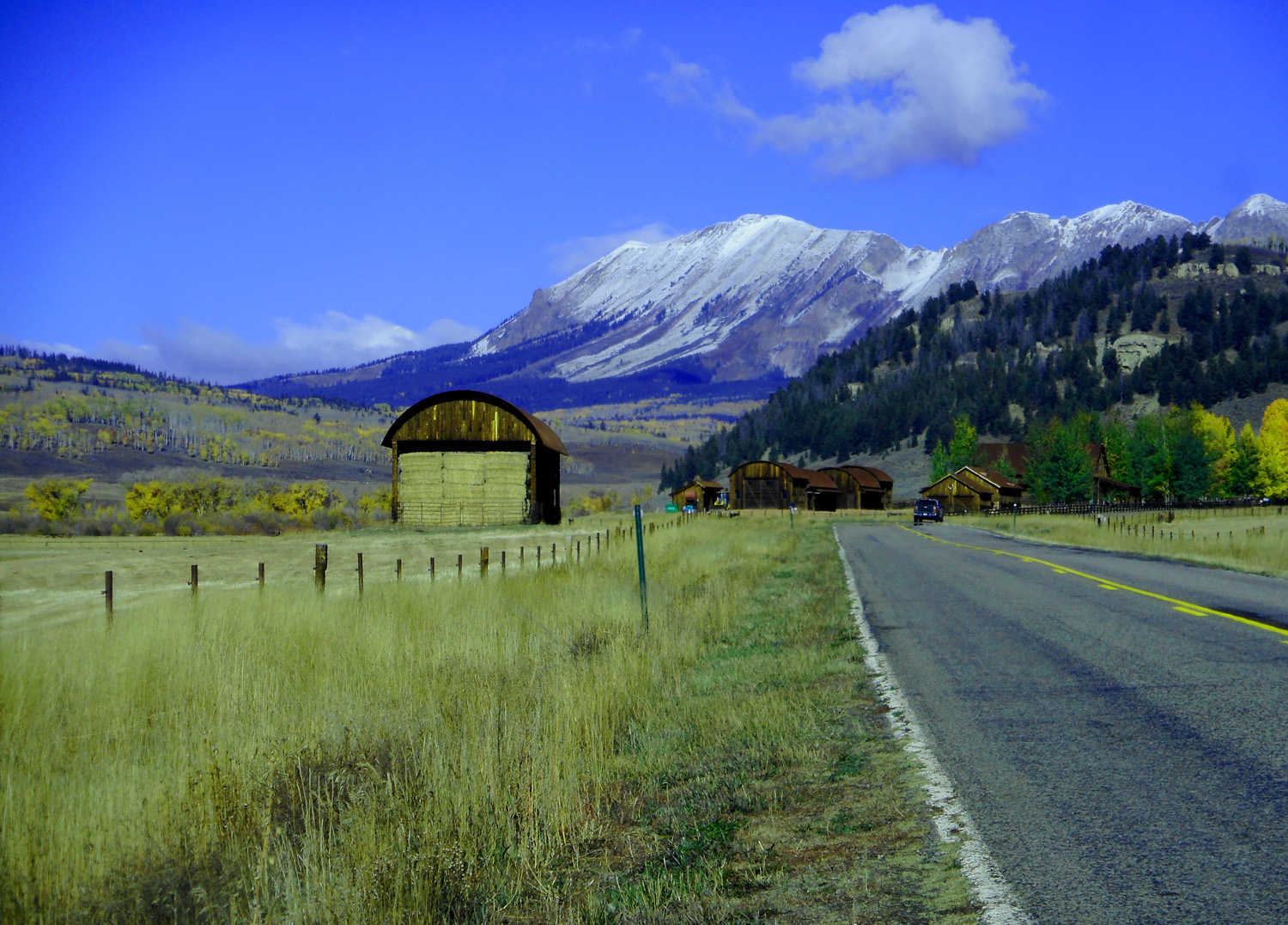
16 / 78
Hay Barn
Oct 10 2021 - 8:16 am
Oct 10 2021 - 8:16 am
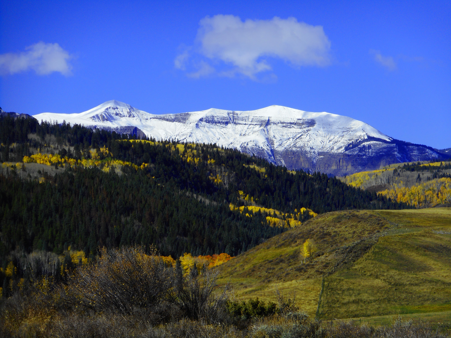
17 / 78
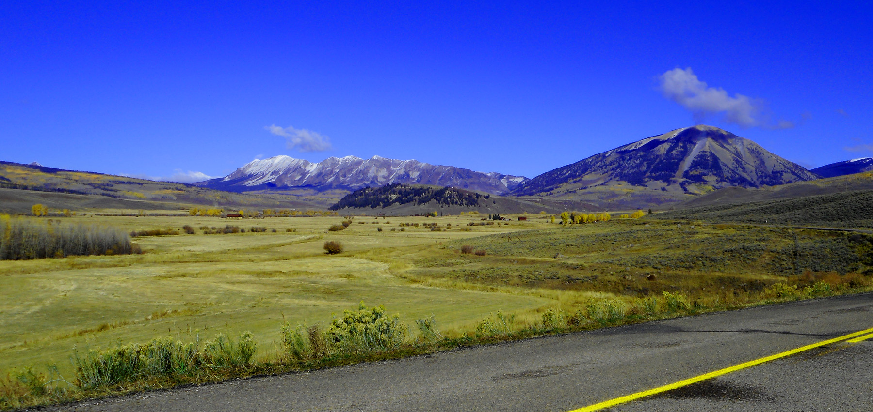
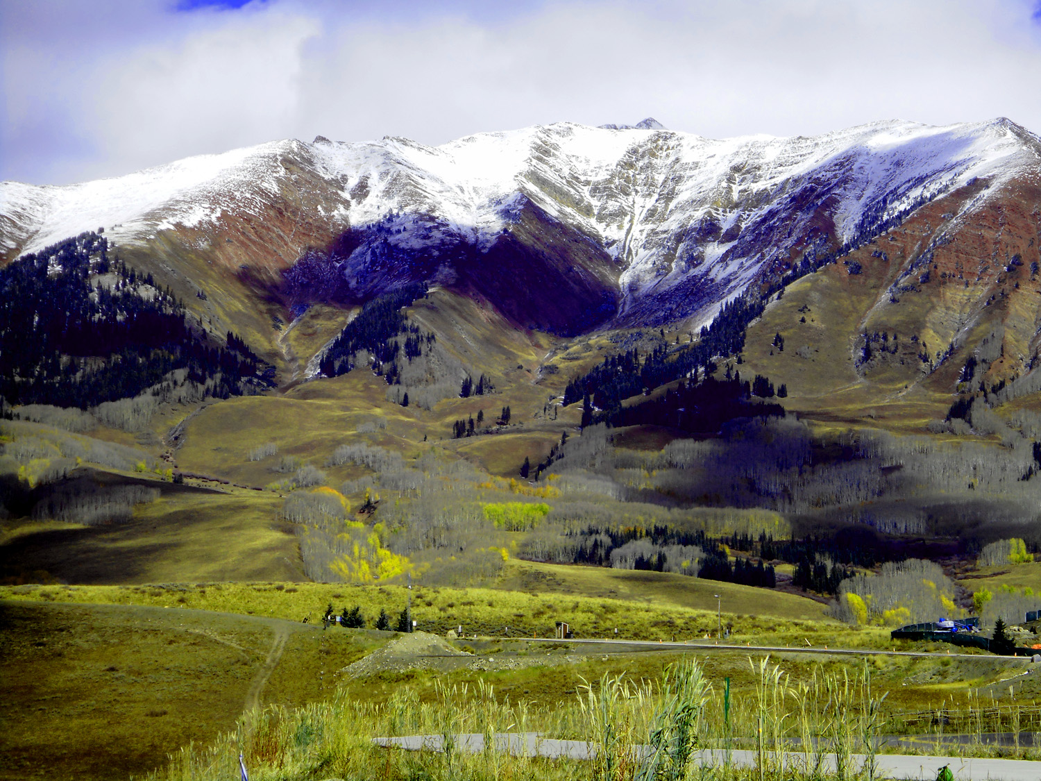
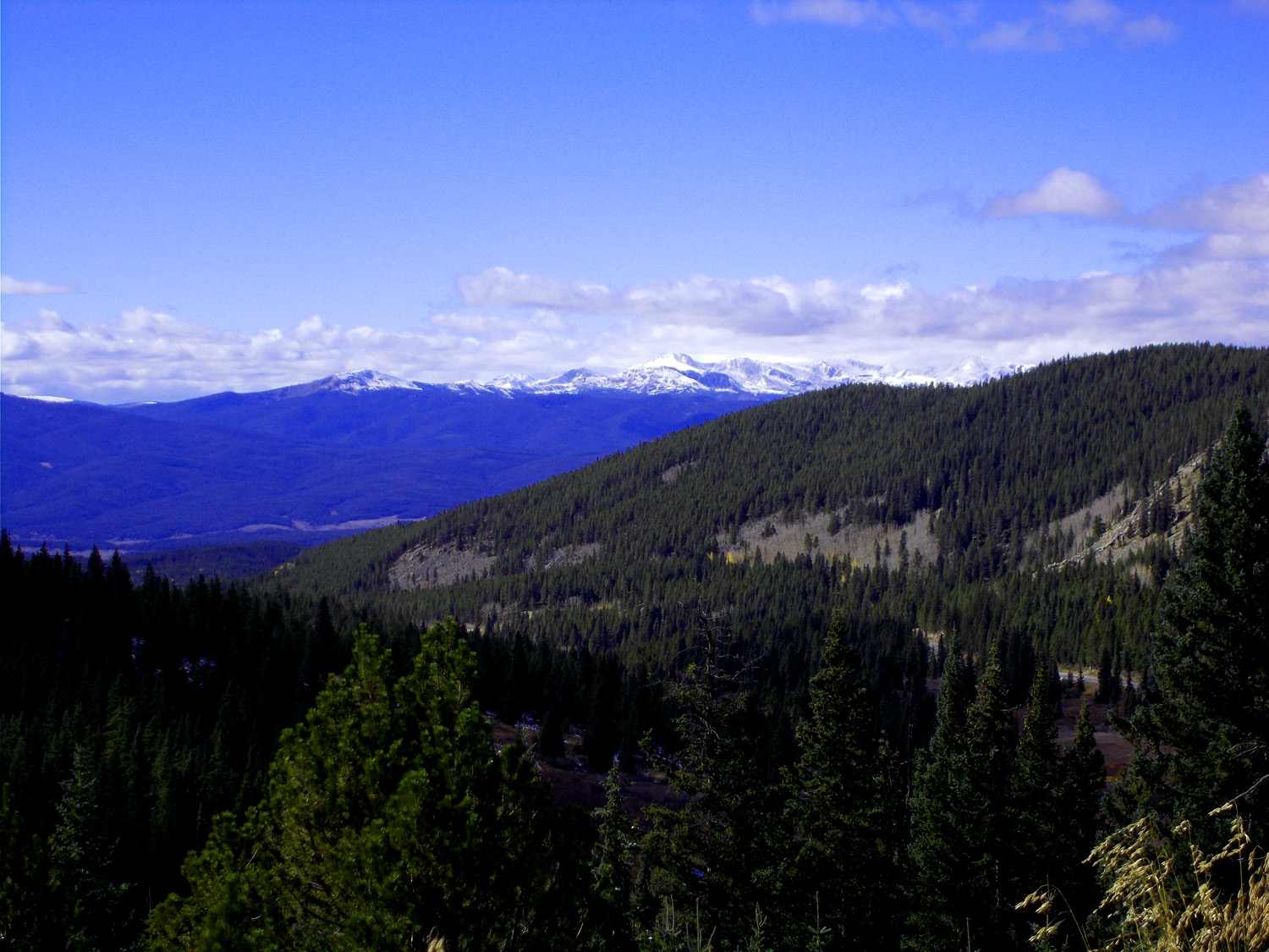
West Elk Mountains
Oct 10 2021 - 8:24 am
Oct 10 2021 - 8:24 am
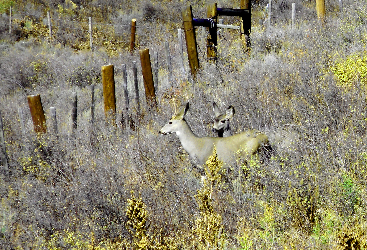
18 / 78
Two healthy does
Oct 10 2021 - 8:26 am
Oct 10 2021 - 8:26 am
19 / 78
Ohio Peak (12,271') coated with the last Aspen bloom
Oct 10 2021 - 8:24 am
Oct 10 2021 - 8:24 am
20 / 78
Back to CO 135
21 / 78
Whetstone Mountain (12,516') and Mt. Axell (12,055') both laccoliths
Oct 10 2021 - 9:49 am
Oct 10 2021 - 9:49 am
22 / 78
The Ruby Range capped by Mt. Owens (13,058') and Ruby Peak (12,644')
developed along a Miocene dike intruded into peak-forming Cretaceous Mesa Verde sandstone
Oct 10 2021 - 9:17 am
developed along a Miocene dike intruded into peak-forming Cretaceous Mesa Verde sandstone
Oct 10 2021 - 9:17 am
23 / 78
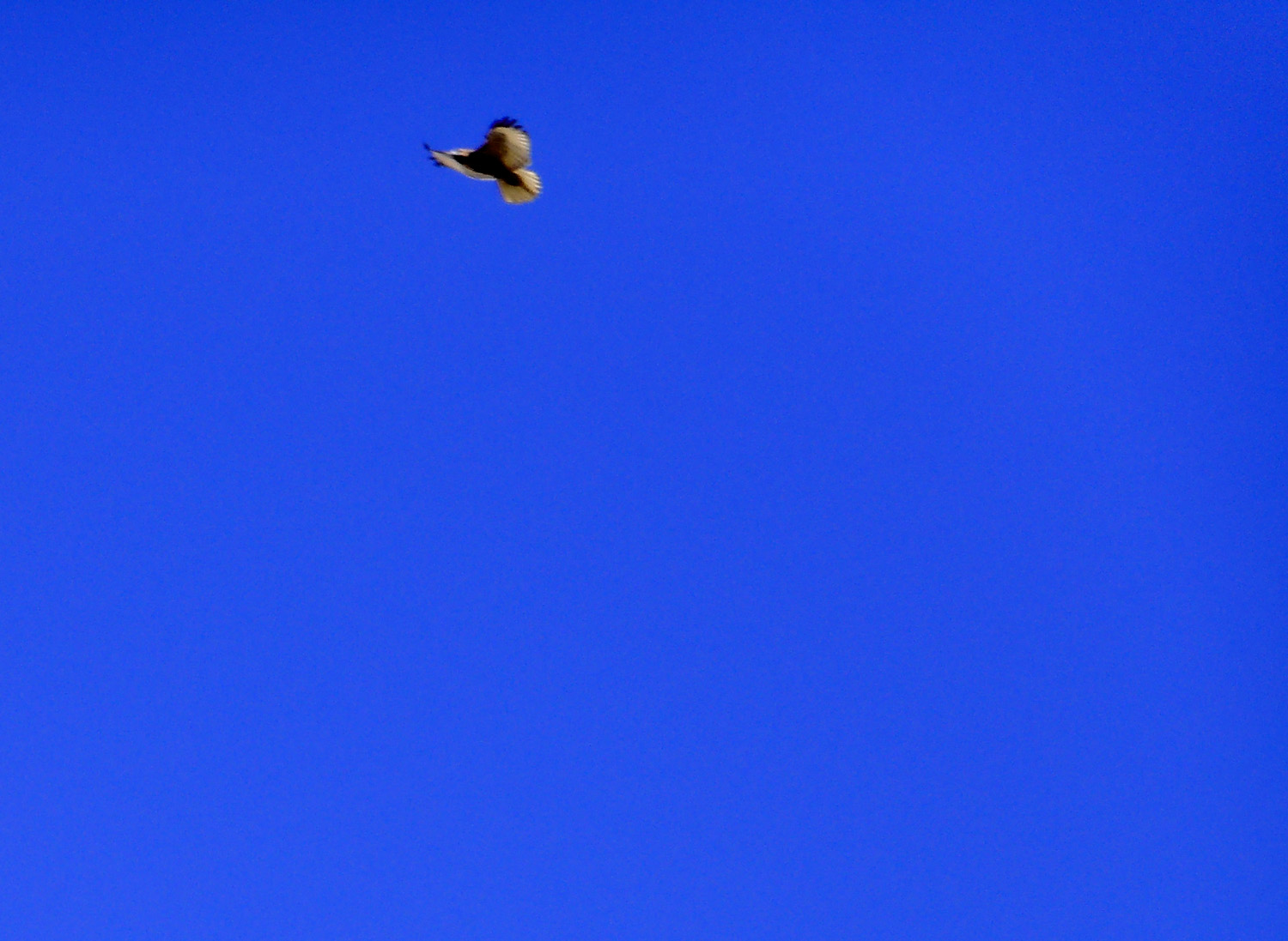
Fully soaring bald eagle
Oct 10 2021 - 9:27 am
Oct 10 2021 - 9:27 am
24 / 78
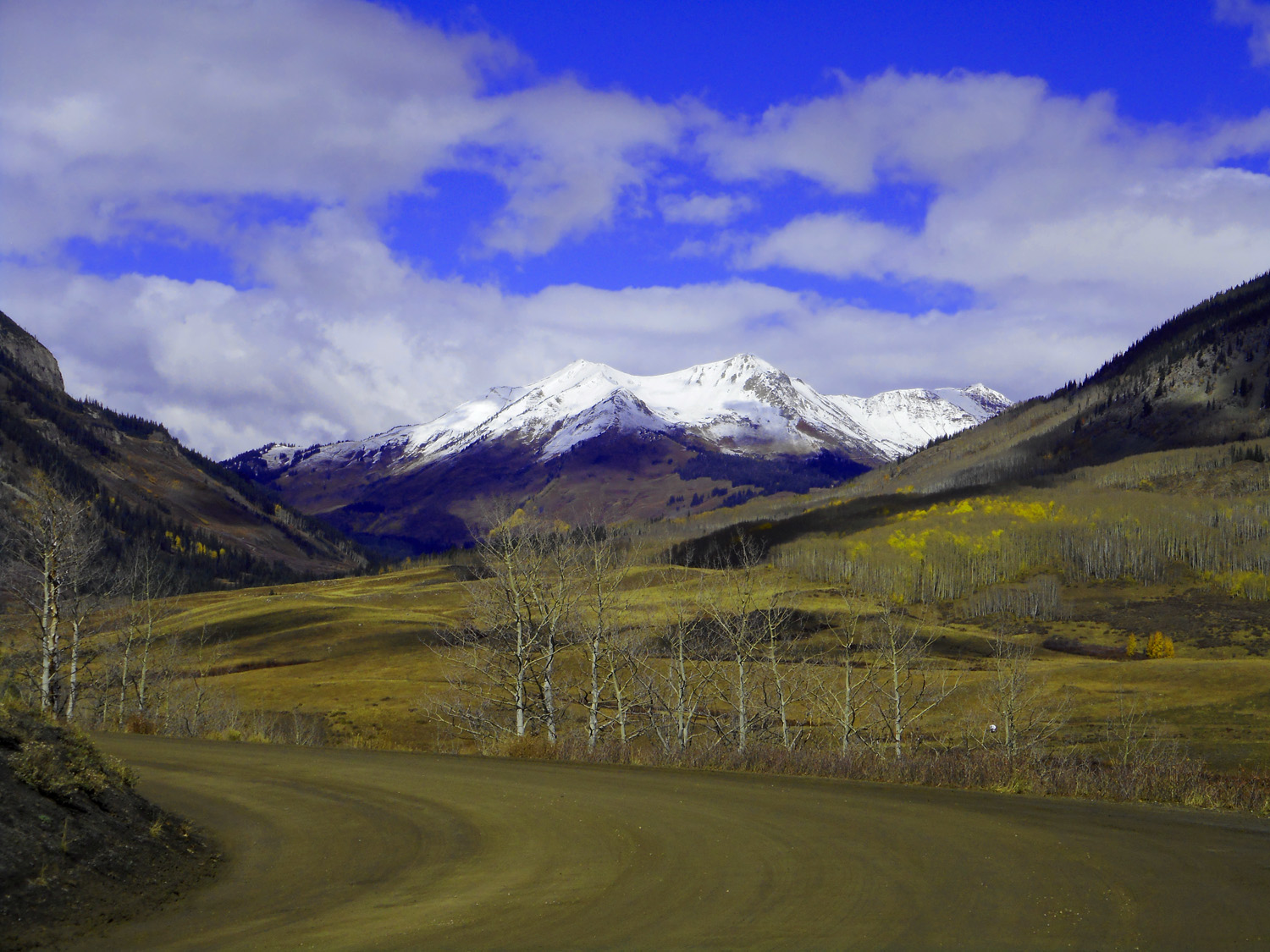
from left: Gothic Mountain (12,625') and Crested Butte (12,162', West Elk Mountains); Italian Mountain (13.,376', Elk Mountains)
Oct 10 2021 - 9:29 am
Oct 10 2021 - 9:29 am
25 / 78
Southern Elk Mountains
Oct 10 2021 - 9:28 am
Oct 10 2021 - 9:28 am
26 / 78
Crested Butte fluted on the west and Gothic Mountain fluted on the east along the same weakness zone
Jun 27 2017 - 4:59 pm
Jun 27 2017 - 4:59 pm
27 / 78
Ruby Peak and Mount Owen behind outskirts of Crested Butte
Oct 10 2021 - 9:34 am
Oct 10 2021 - 9:34 am
28 / 78
from left: Cinnamon Mountain (12,293'), Mt. Baldy (12,805'), Avery Peak (12,683') and White Rock Mountain (13,539')
at the head of the East River forming the southern border of the Elk Mountains
Oct 10 2021 - 9:36 am
at the head of the East River forming the southern border of the Elk Mountains
Oct 10 2021 - 9:36 am
29 / 78
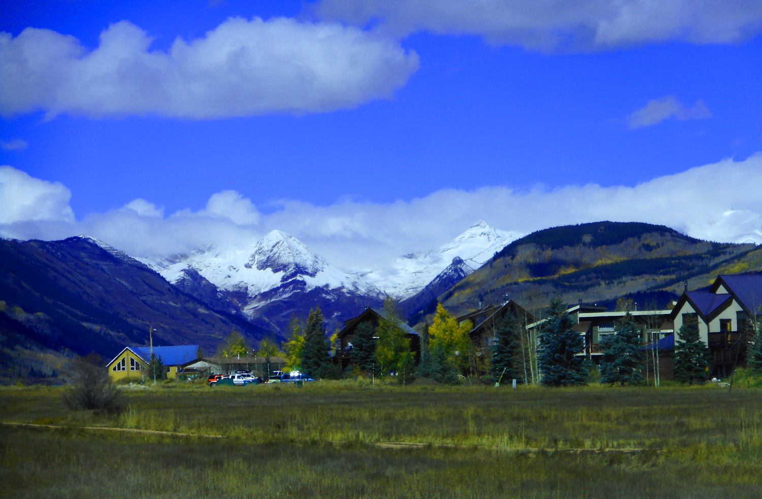
Crested Butte
Oct 10 2021 - 9:37 am
Oct 10 2021 - 9:37 am
30 / 78
Ruby Range
Jun 27 2017 - 4:58 pm
Jun 27 2017 - 4:58 pm
31 / 78
Telephoto of the Ruby Range
Jun 27 2017 - 4:59 pm
Jun 27 2017 - 4:59 pm
32 / 78
Crested Butte, CO with the Ruby Range at the head of the Slate River as a backdrop
Oct 10 2021 - 9:38 am
Oct 10 2021 - 9:38 am
33 / 78
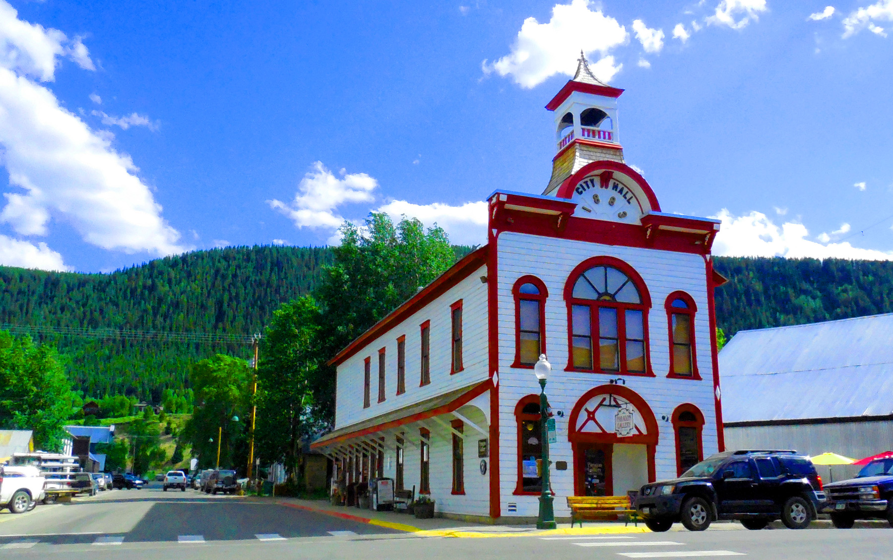
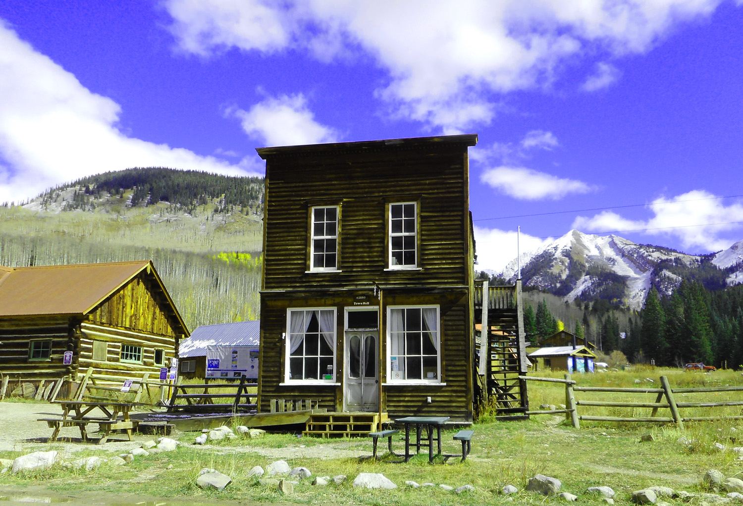
Town Hall converted to an art gallery
Jun 27 2017 - 4:48 pm
Jun 27 2017 - 4:48 pm
34 / 78
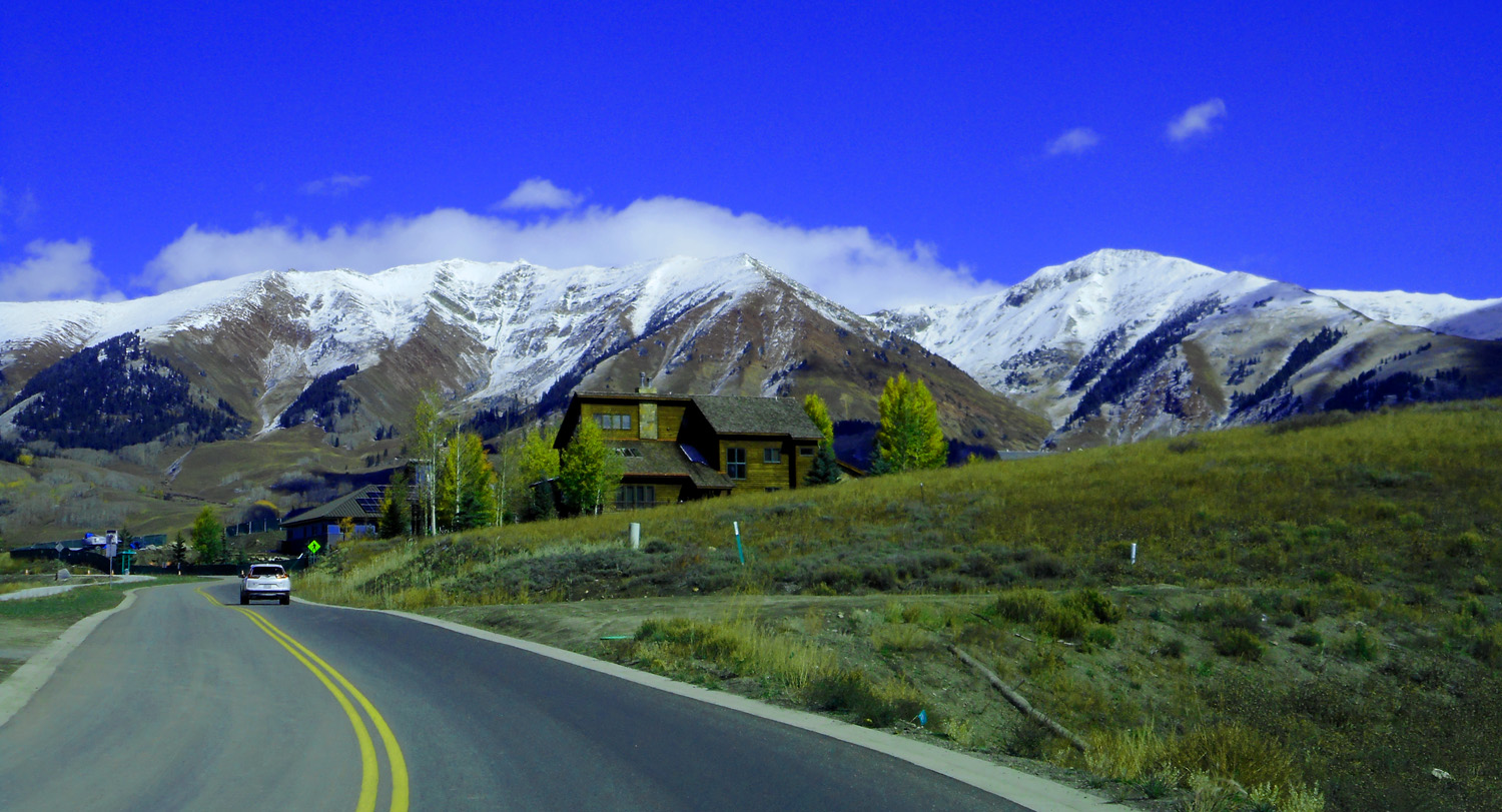
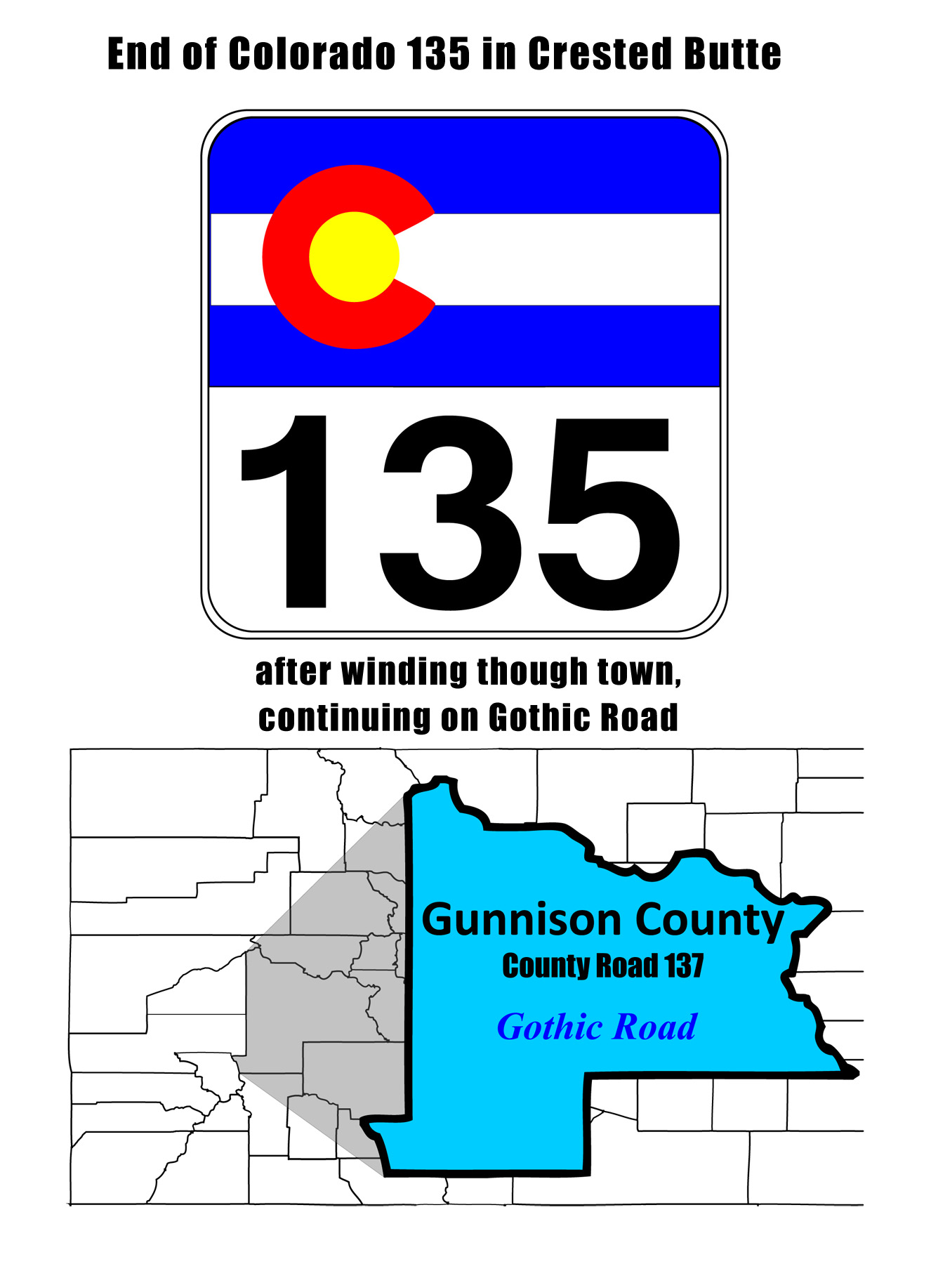
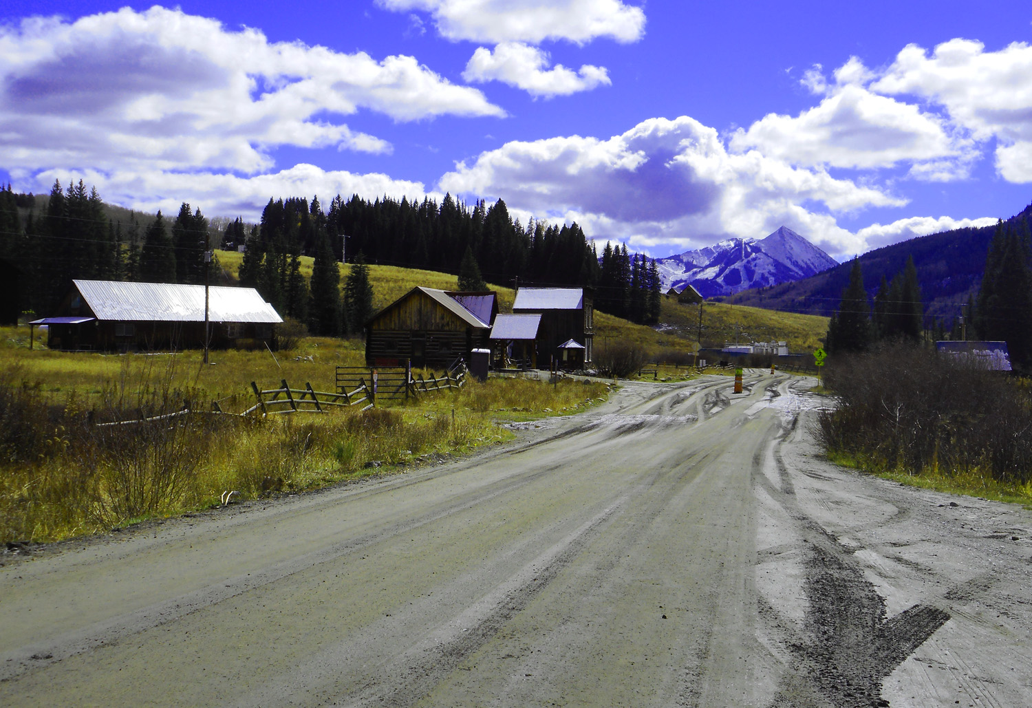
North end of CO 135
35 / 78
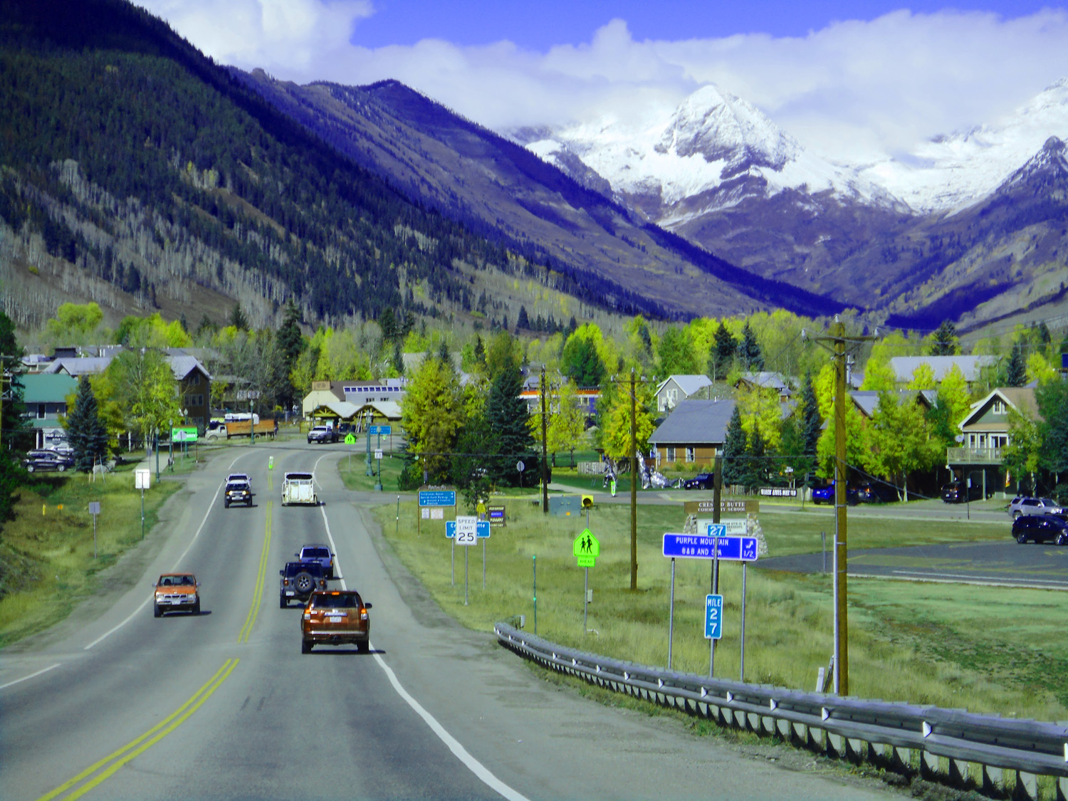
CO 135 changes to Gothic Road about here just keep straight ahead on a curvy road
Oct 10 2021 - 9:46 am
Oct 10 2021 - 9:46 am
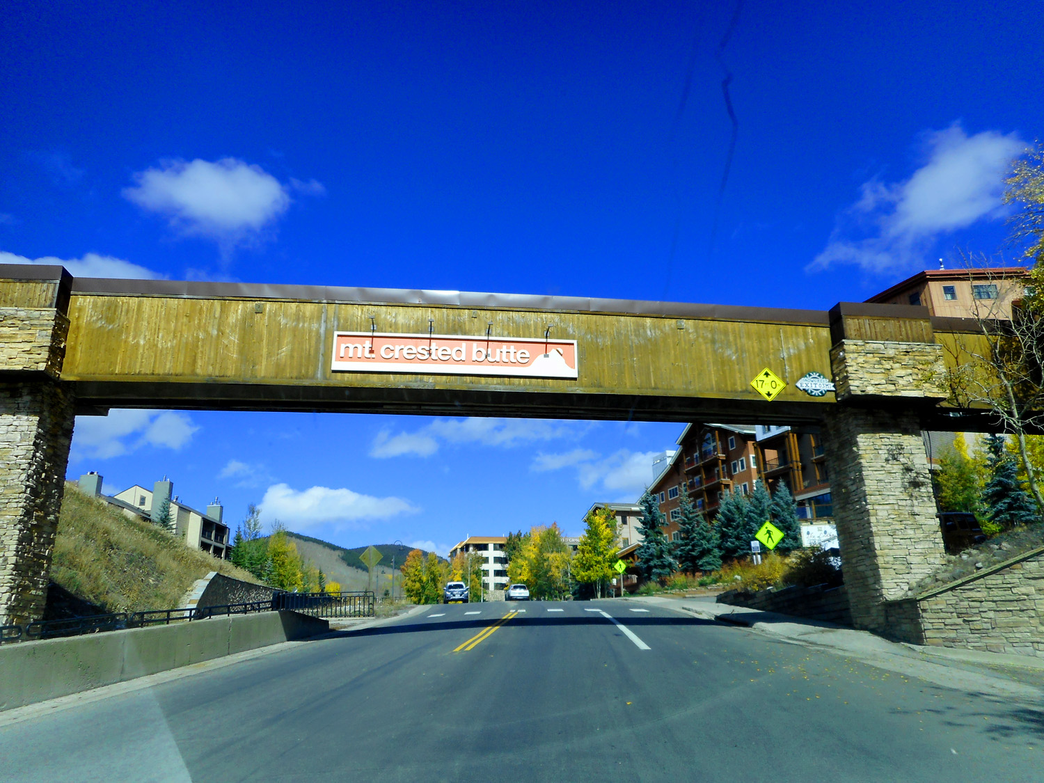
36 / 78
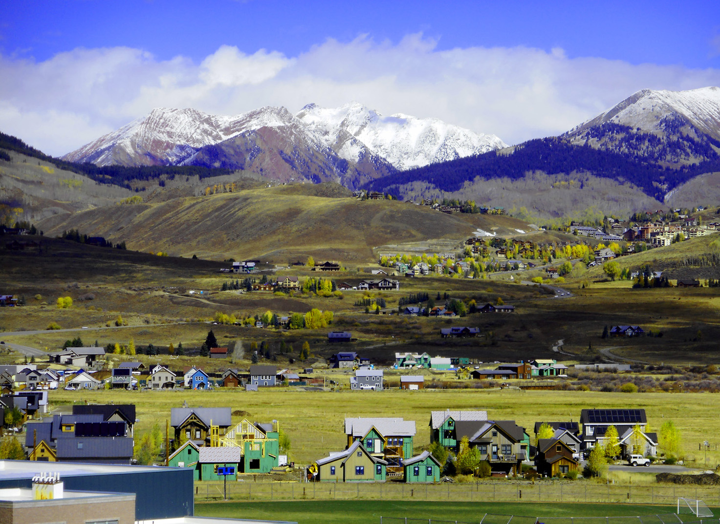
Ski-season condos everywhere
Oct 10 2021 - 10:38 am
Oct 10 2021 - 10:38 am
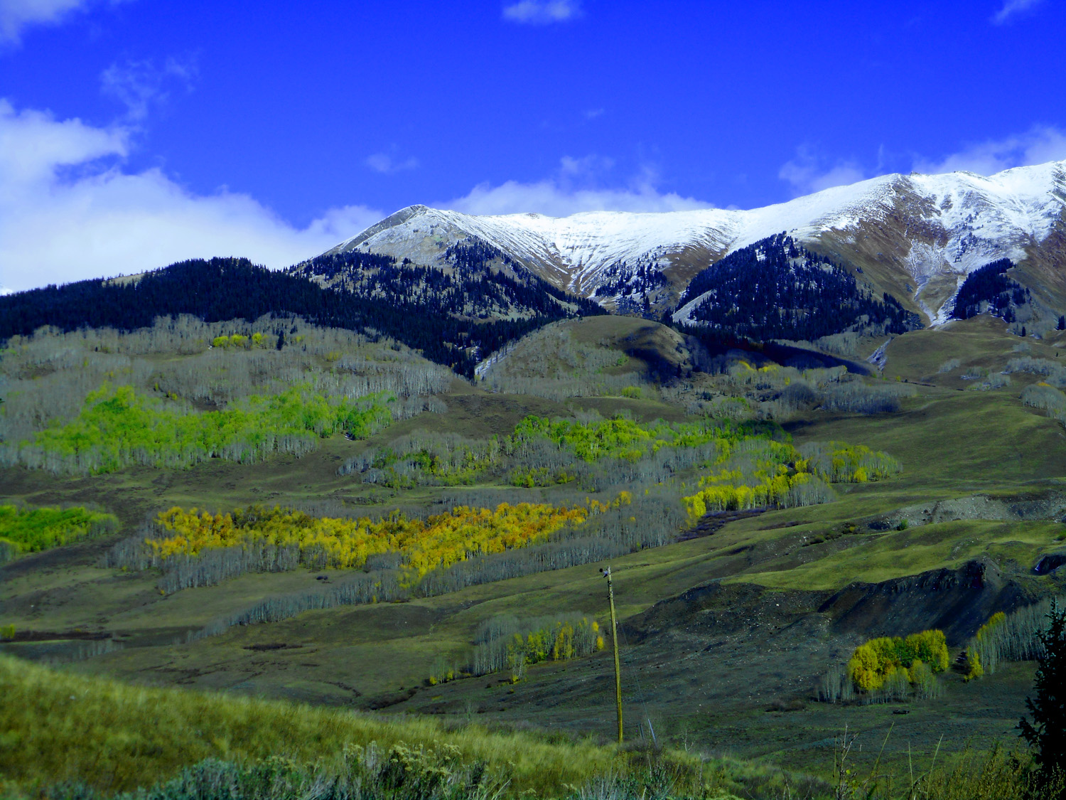
37 / 78
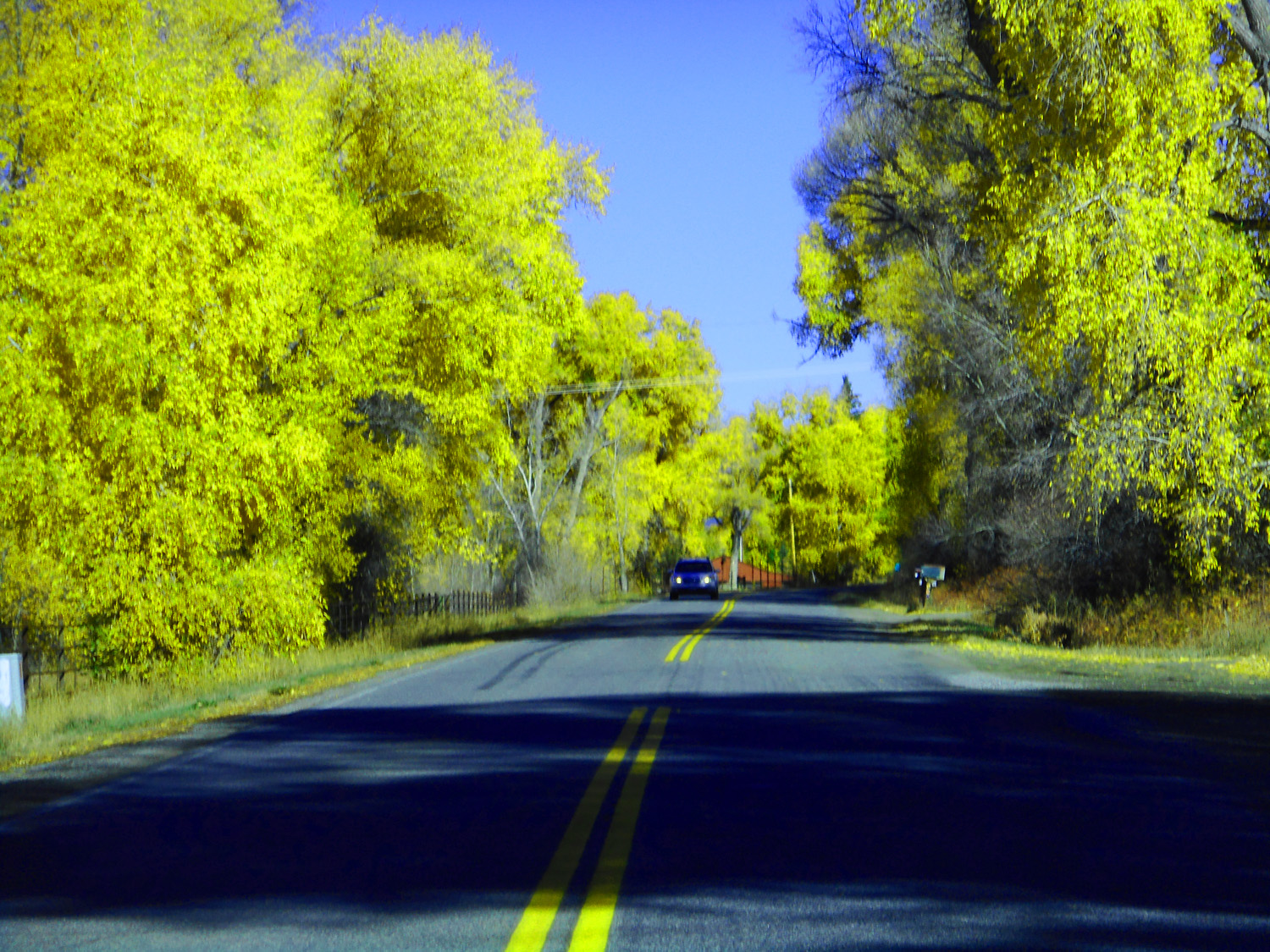
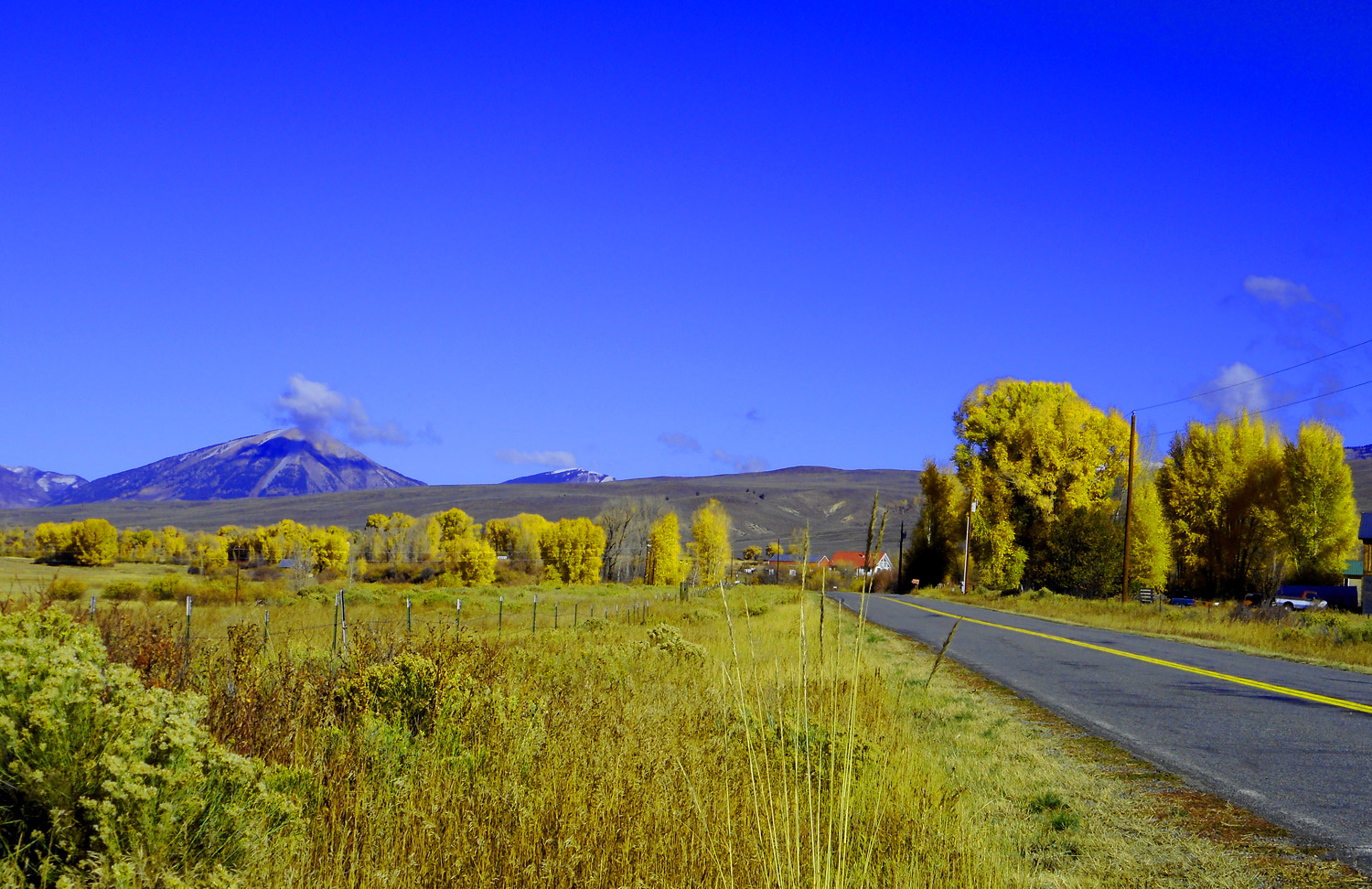
Last golden aspen in the mountains
Oct 10 2021 - 9:52 am
Oct 10 2021 - 9:52 am
38 / 78
Unpaved road to Gothic
Oct 10 2021 - 9:55 am
Oct 10 2021 - 9:55 am
39 / 78
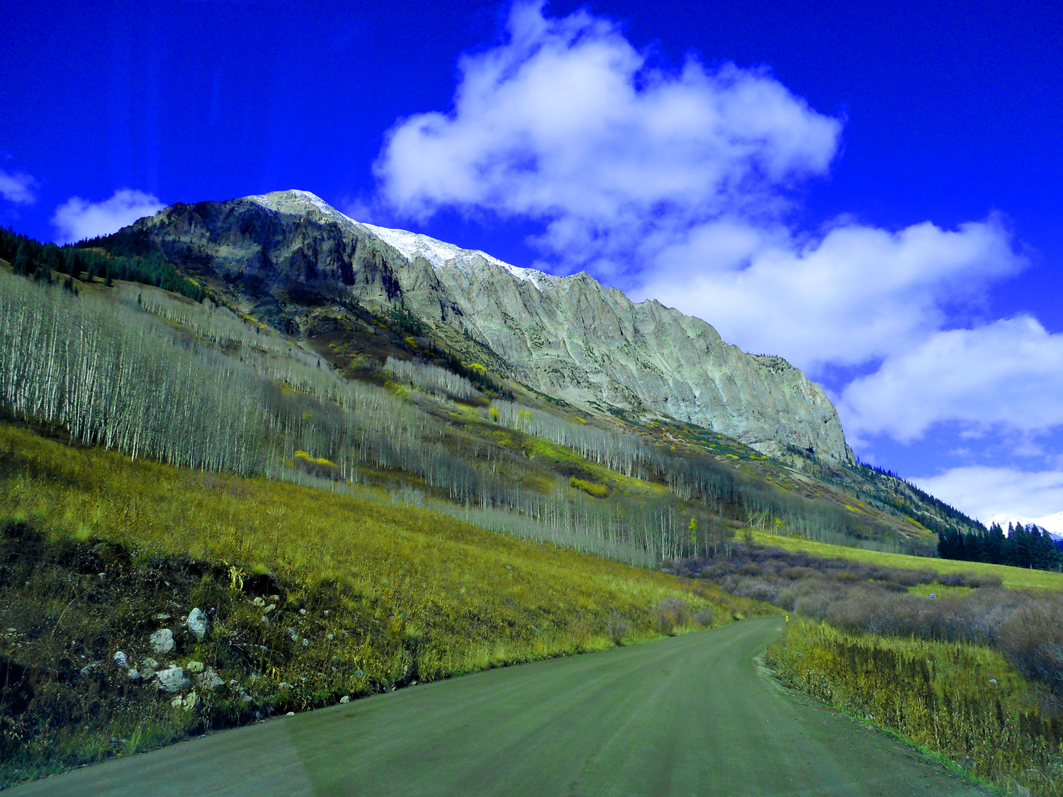
Fluted Gothic Mountain (reminiscent of the north face of Marcellina Mountain)
Oct 10 2021 - 10:00 am
Oct 10 2021 - 10:00 am
40 / 78
Cinnamon Mountain, Mt. Baldy, Avery Peak, and White Rock Mountain
Oct 10 2021 - 10:00 am
Oct 10 2021 - 10:00 am
41 / 78
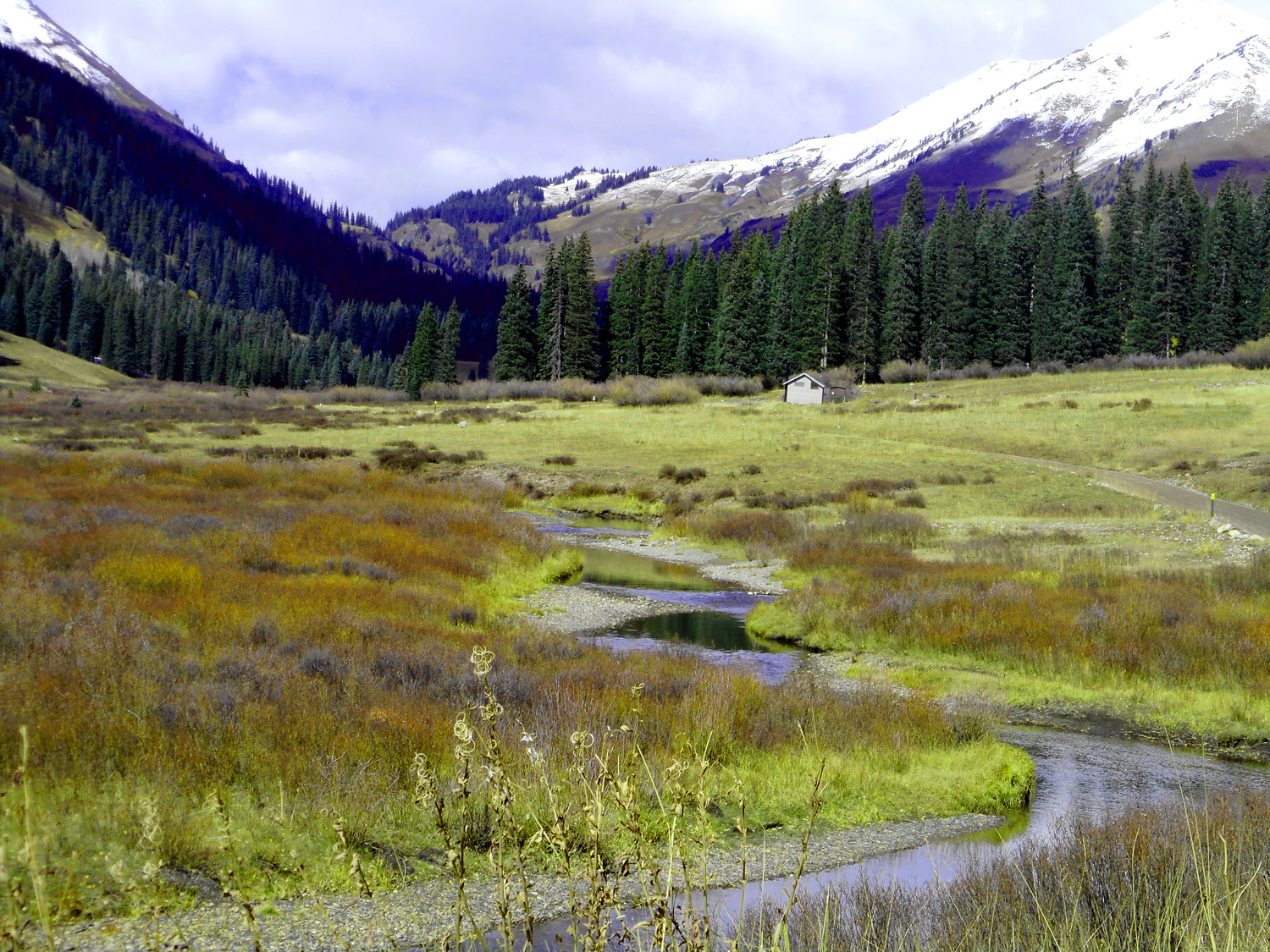
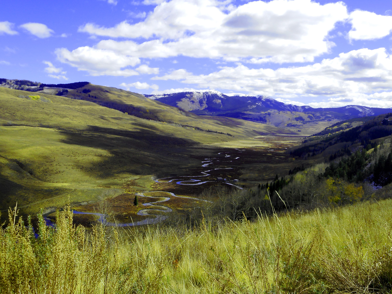
Headwater meadow of the East River
turnaround point, continuation of Gothic Road, Schofield Pass Road required 4 wheel drive
Oct 10 2021 - 10:07 am
turnaround point, continuation of Gothic Road, Schofield Pass Road required 4 wheel drive
Oct 10 2021 - 10:07 am
42 / 78
Gothic, CO
headed back to Crested Butte
Oct 10 2021 - 10:15 am
headed back to Crested Butte
Oct 10 2021 - 10:15 am
43 / 78
Gothic Town Hall
Oct 10 2021 - 10:15 am
Oct 10 2021 - 10:15 am
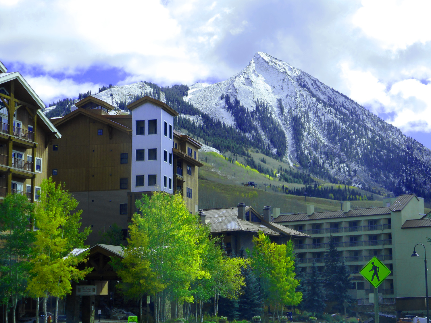
44 / 78
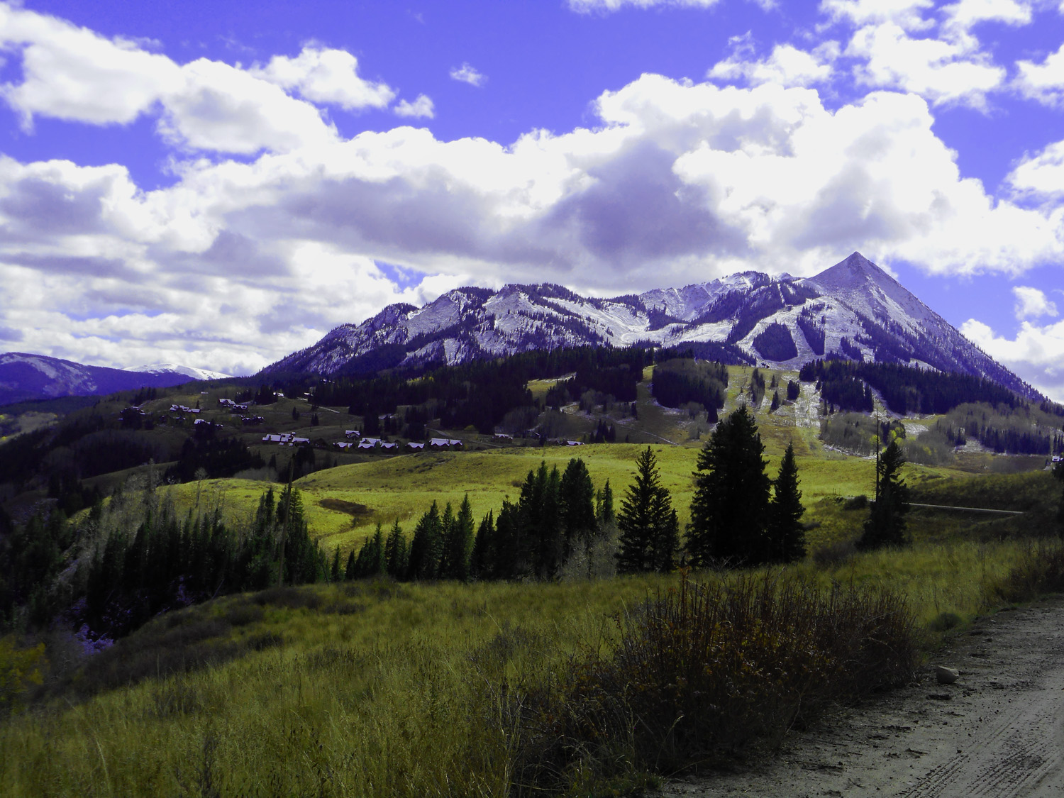
Crested Butte ski area
Oct 10 2021 - 10:25 am
Oct 10 2021 - 10:25 am
45 / 78
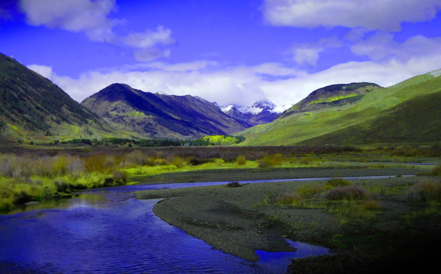
Meanders along the East River above Moraine Dams
Oct 10 2021 - 10:26 am
Oct 10 2021 - 10:26 am
46 / 78
Glaciated Pass around Crested Butte, Ruby Range in background at the head of Slate River
Oct 10 2021 - 10:32 am
Oct 10 2021 - 10:32 am
47 / 78
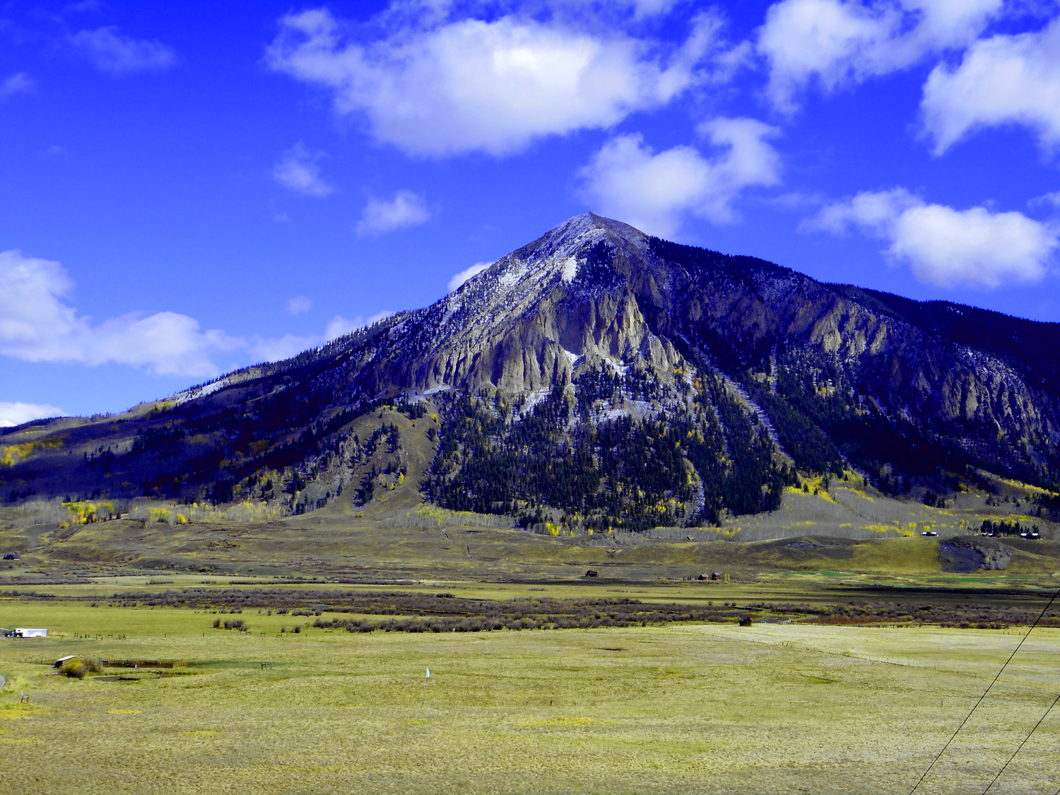
Appropriately named Cinnamon Mountain
Oct 10 2021 - 10:32 am
Oct 10 2021 - 10:32 am
48 / 78
Back to 135 and the East River last crossing going south before Taylor River Cutoff on Jack Cabin Road, CR 813
Oct 10 2021 - 12:45 pm
Oct 10 2021 - 12:45 pm
49 / 78
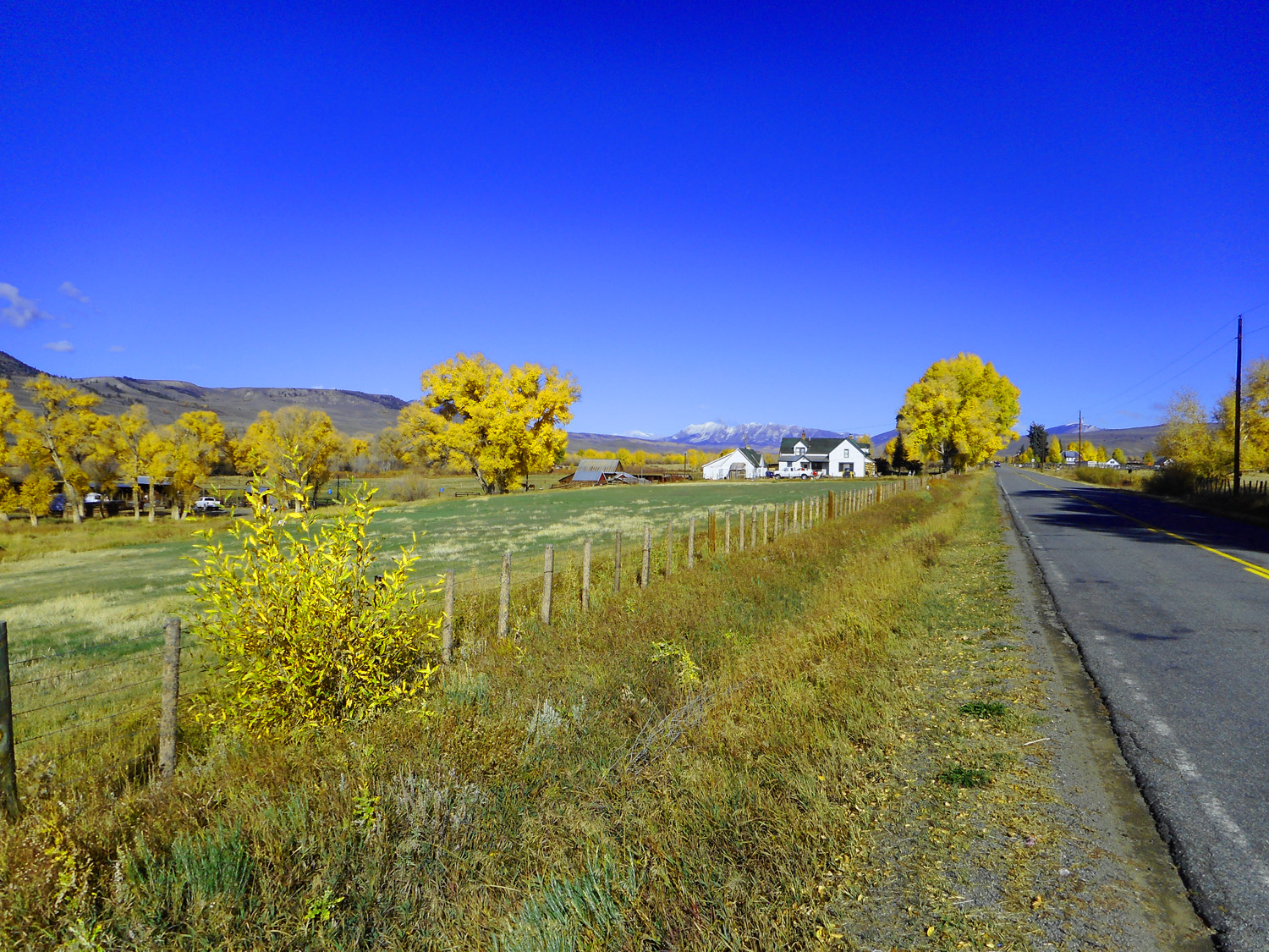
50 / 78
Almont, CO
Oct 10 2021 - 12:48 pm
Oct 10 2021 - 12:48 pm
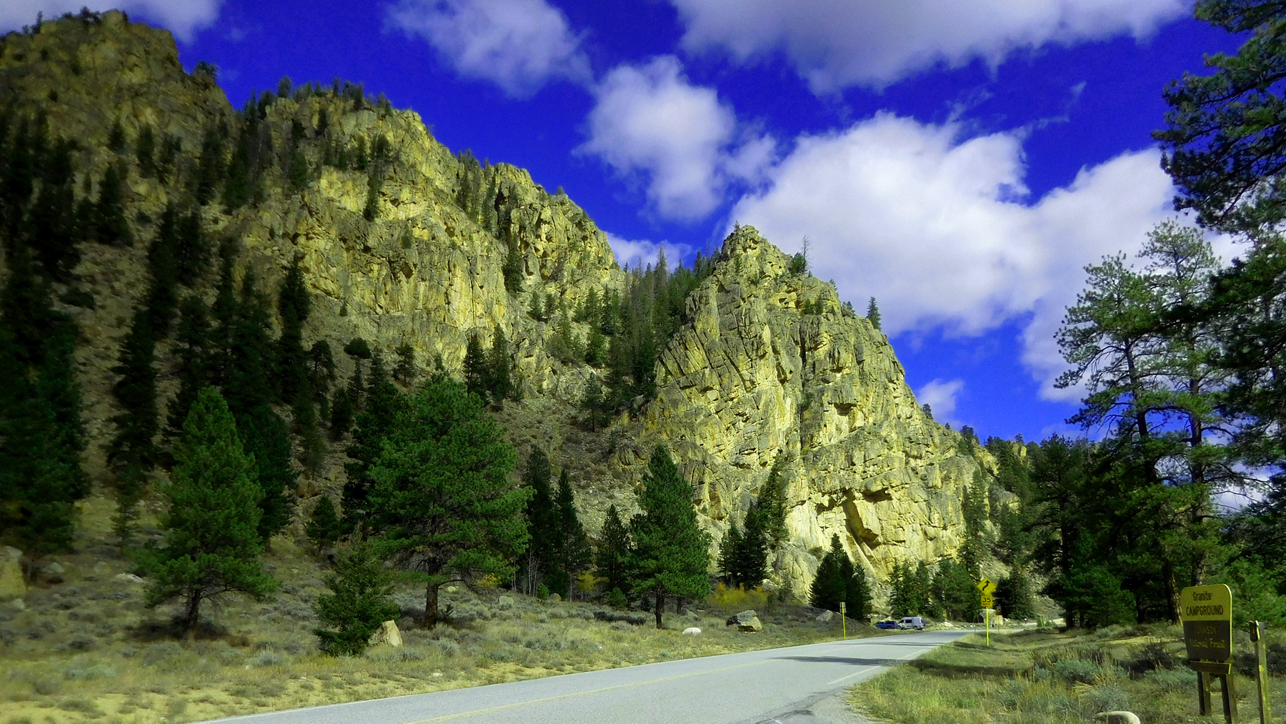
51 / 78
West end of Taylor River Canyon through pre-Cambrain rocks
Oct 10 2021 - 1:13 pm
Oct 10 2021 - 1:13 pm
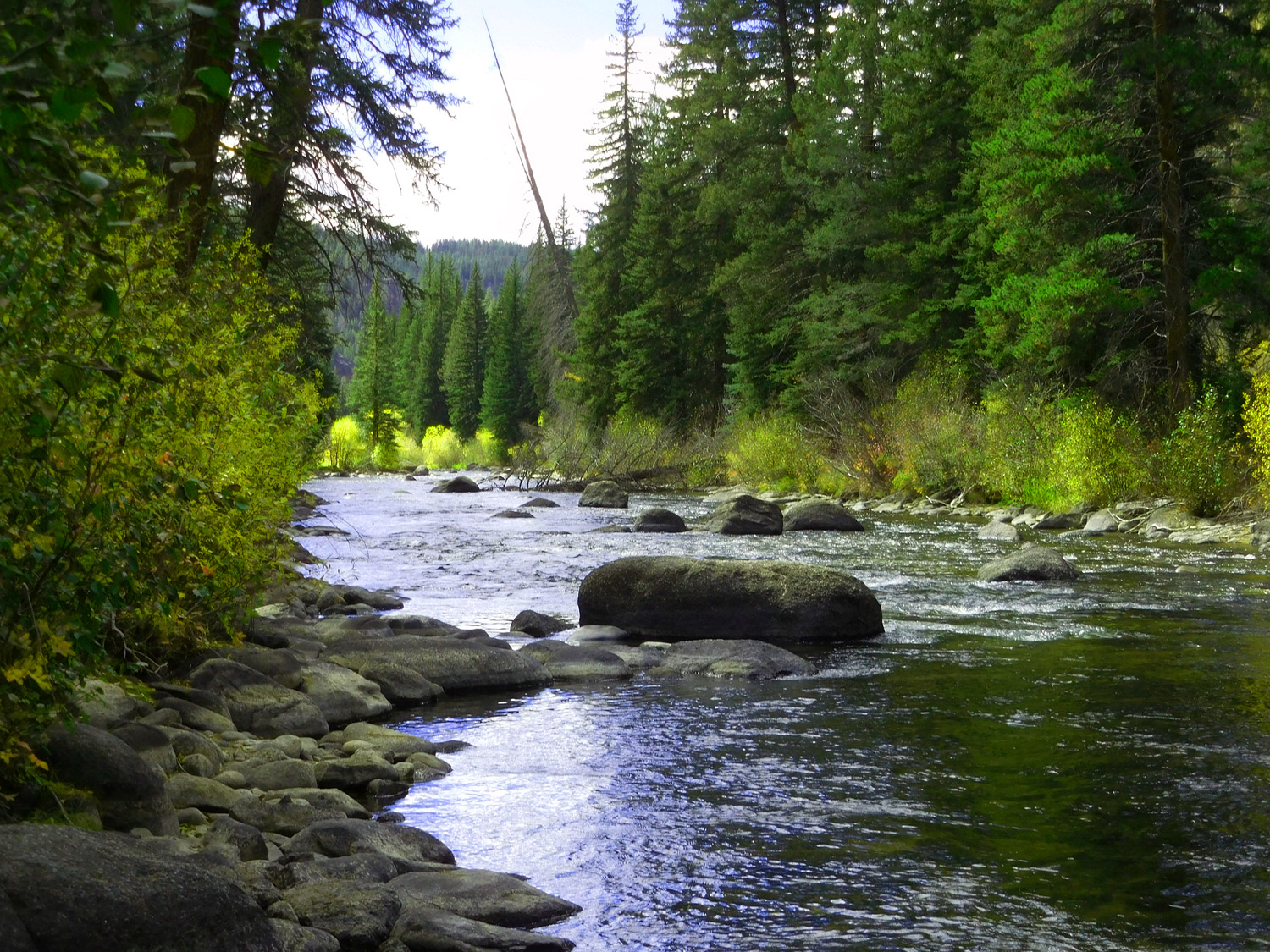
52 / 78
Taylor River
Oct 10 2021 - 1:19 pm
Oct 10 2021 - 1:19 pm
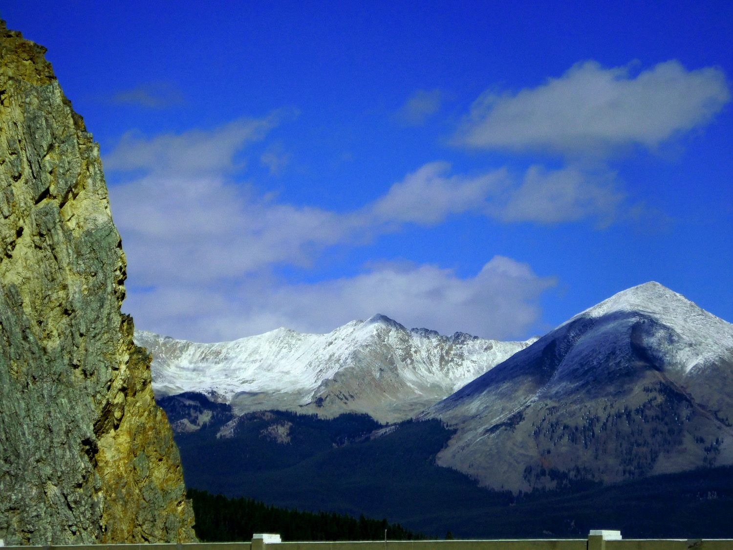
53 / 78
Sawatch Range visible from Taylor Park beyond last rocks of the canyon
Oct 10 2021 - 1:43 pm
Oct 10 2021 - 1:43 pm
54 / 78
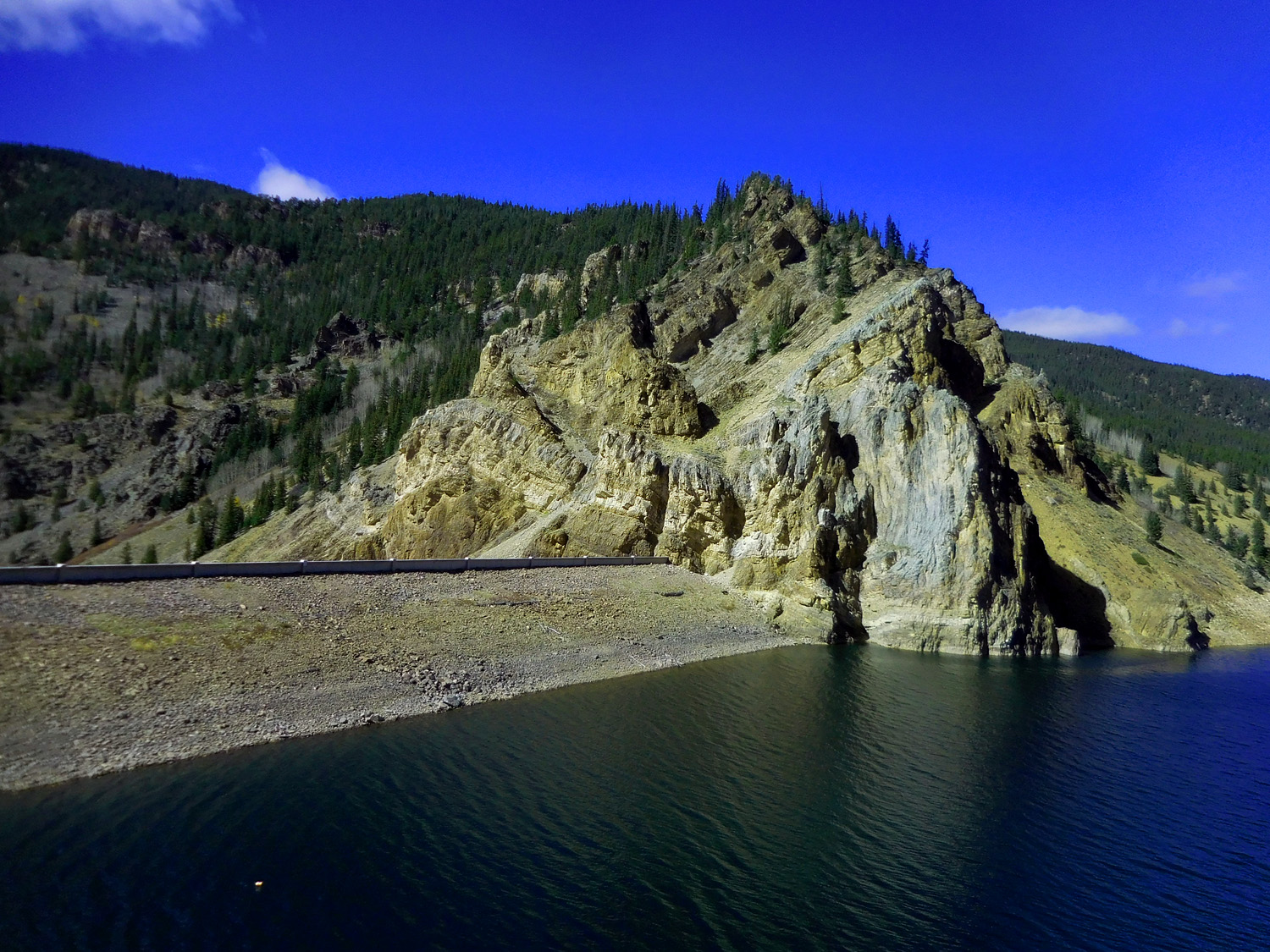
Taylor Park Dam on a fault slice of Cambrian Sawatch Quartzite through Mississippian Leadville Limestone
Oct 10 2021 - 1:44 pm
Oct 10 2021 - 1:44 pm
55 / 78
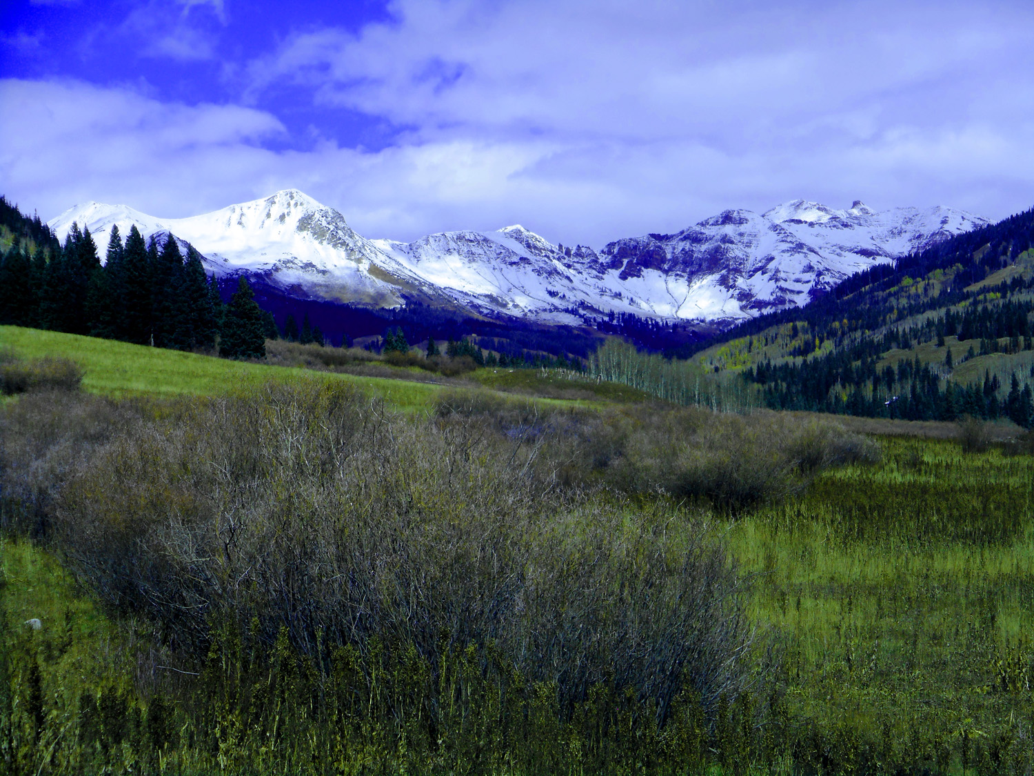
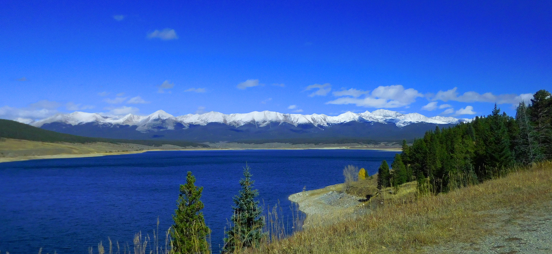
Collegiate Peaks of the Sawatch Range from Taylor Park Reservoir
Oct 10 2021 - 1:48 pm
Oct 10 2021 - 1:48 pm
56 / 78
Ice Mountain (13,851') with a peak at a 14er, Huron Peak (14,003')
Oct 10 2021 - 1:48 pm
Oct 10 2021 - 1:48 pm
57 / 78
Looking back at the dam at the head of Taylor River Canyon
Oct 10 2021 - 1:57 pm
Oct 10 2021 - 1:57 pm
58 / 78
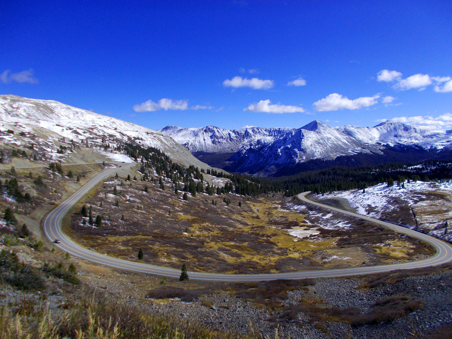
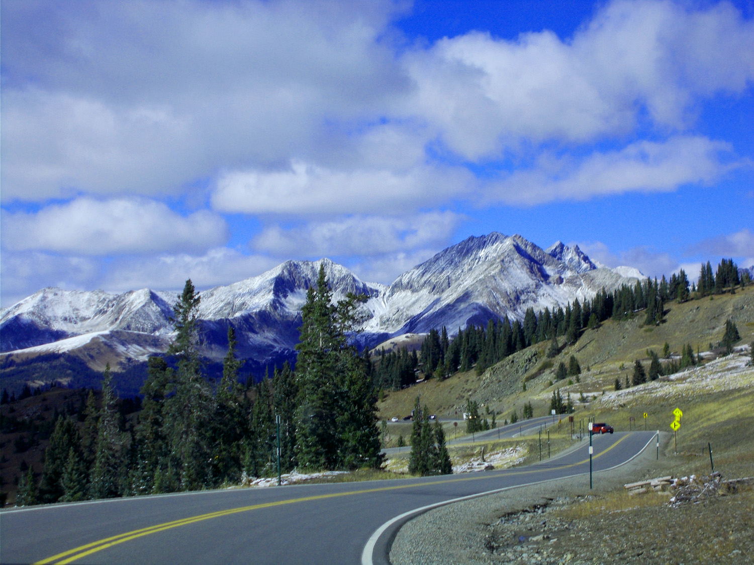
Taylor River Road is unpaved beyond the Cottonwood Pass turnoff
Oct 10 2021 - 2:05 pm
Oct 10 2021 - 2:05 pm
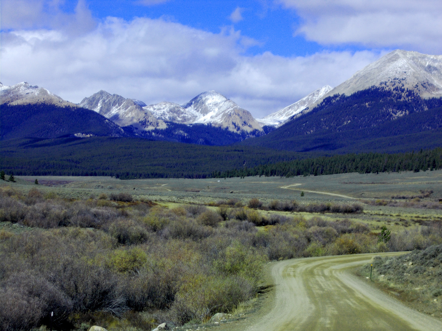
59 / 78
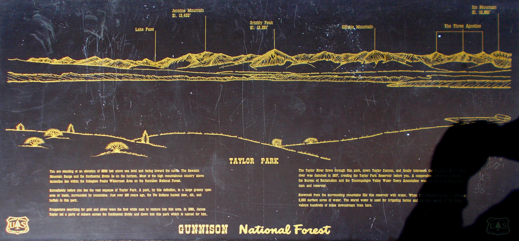
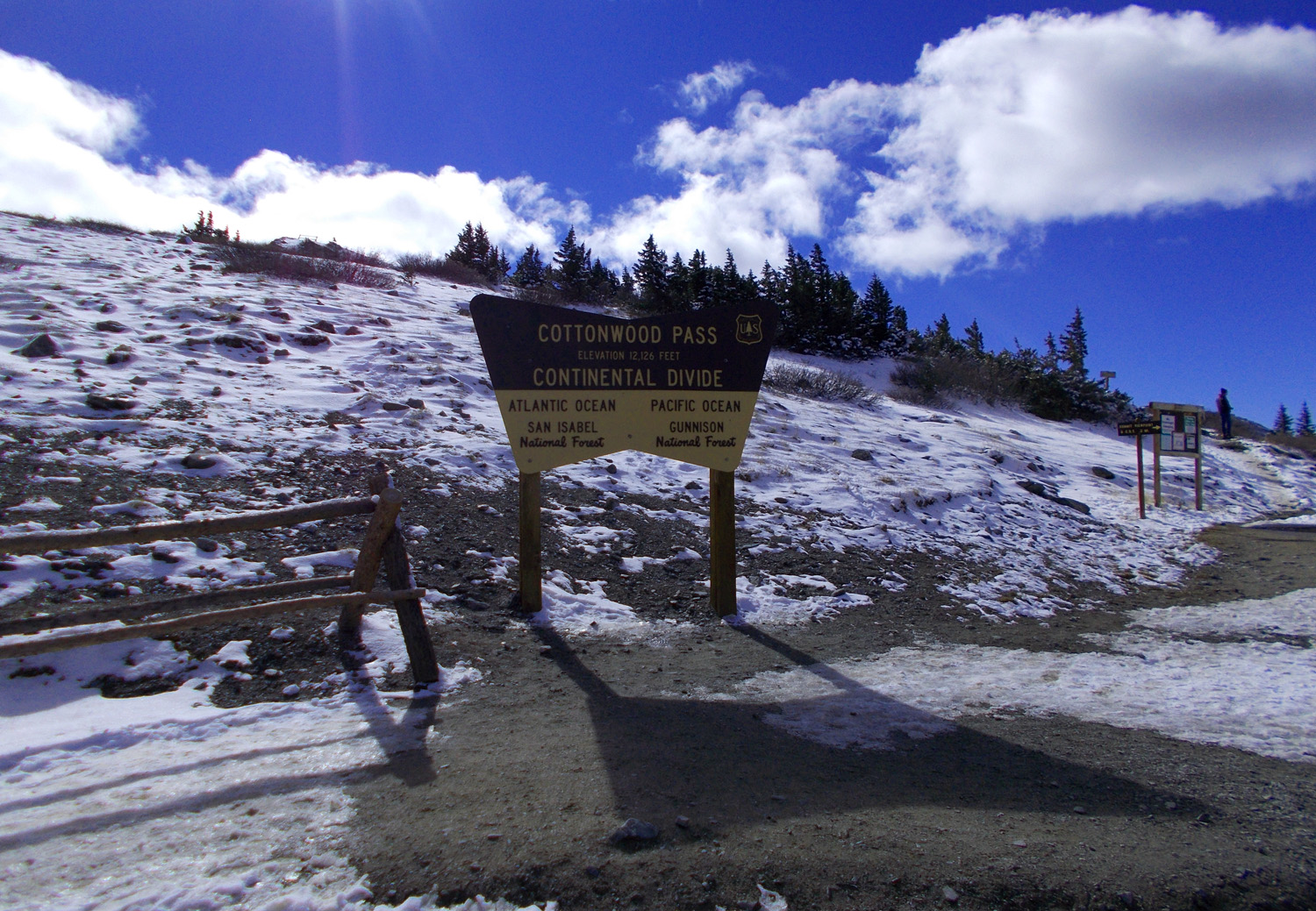
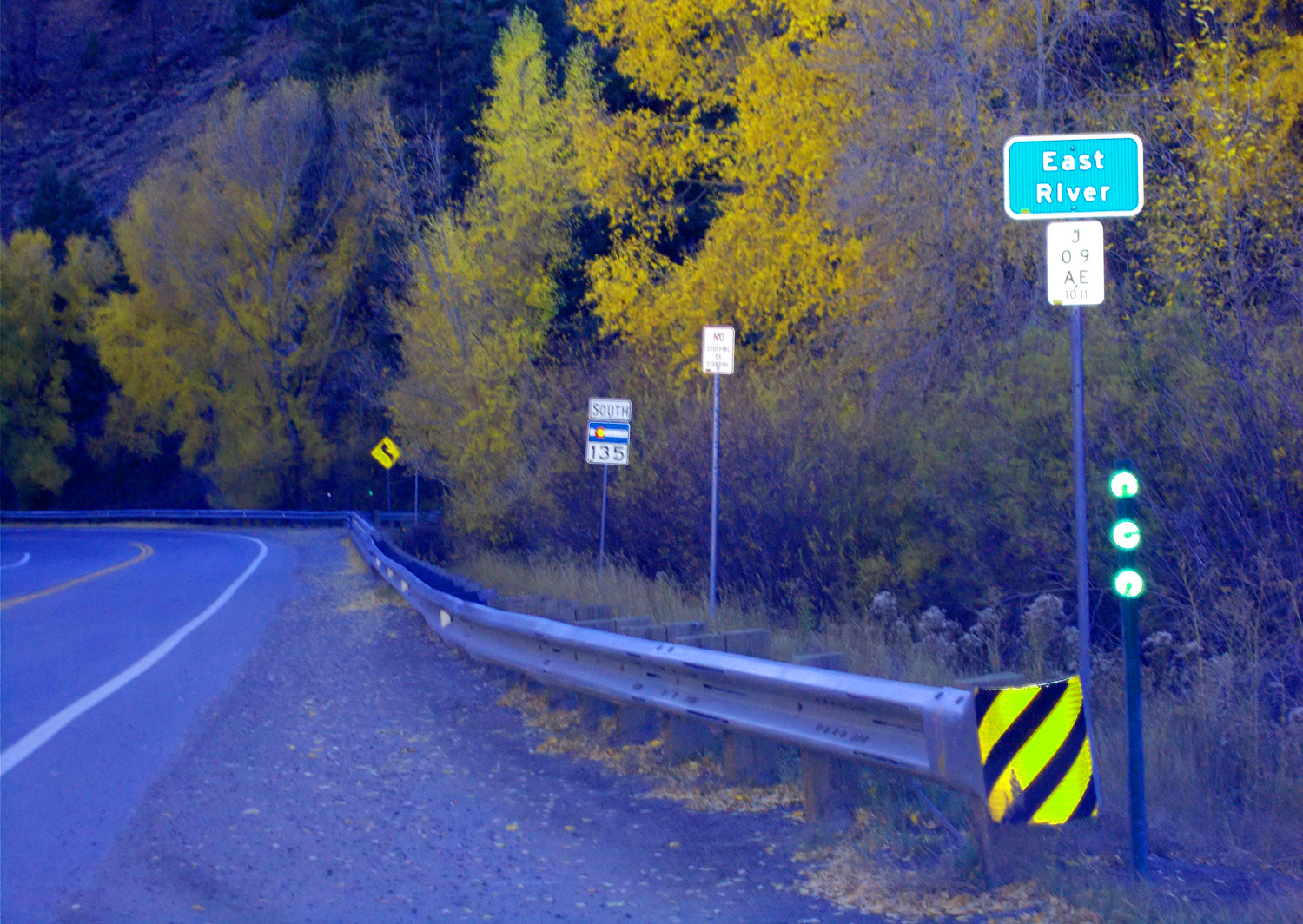
Road sign, next slide is a panorama of the sign
Oct 10 2021 - 2:14 pm
Oct 10 2021 - 2:14 pm
60 / 78
Panorama of previous slide
Oct 10 2021 - 1:48 pm
Oct 10 2021 - 1:48 pm
61 / 78
62 / 78
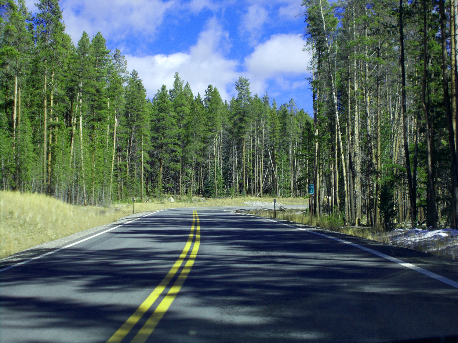
"Tree Tunnels" all the way to timberline
Oct 10 2021 - 2:33 pm
Oct 10 2021 - 2:33 pm
63 / 78
But the view above timberline is fantastic
Oct 10 2021 - 2:51 pm
Oct 10 2021 - 2:51 pm
64 / 78
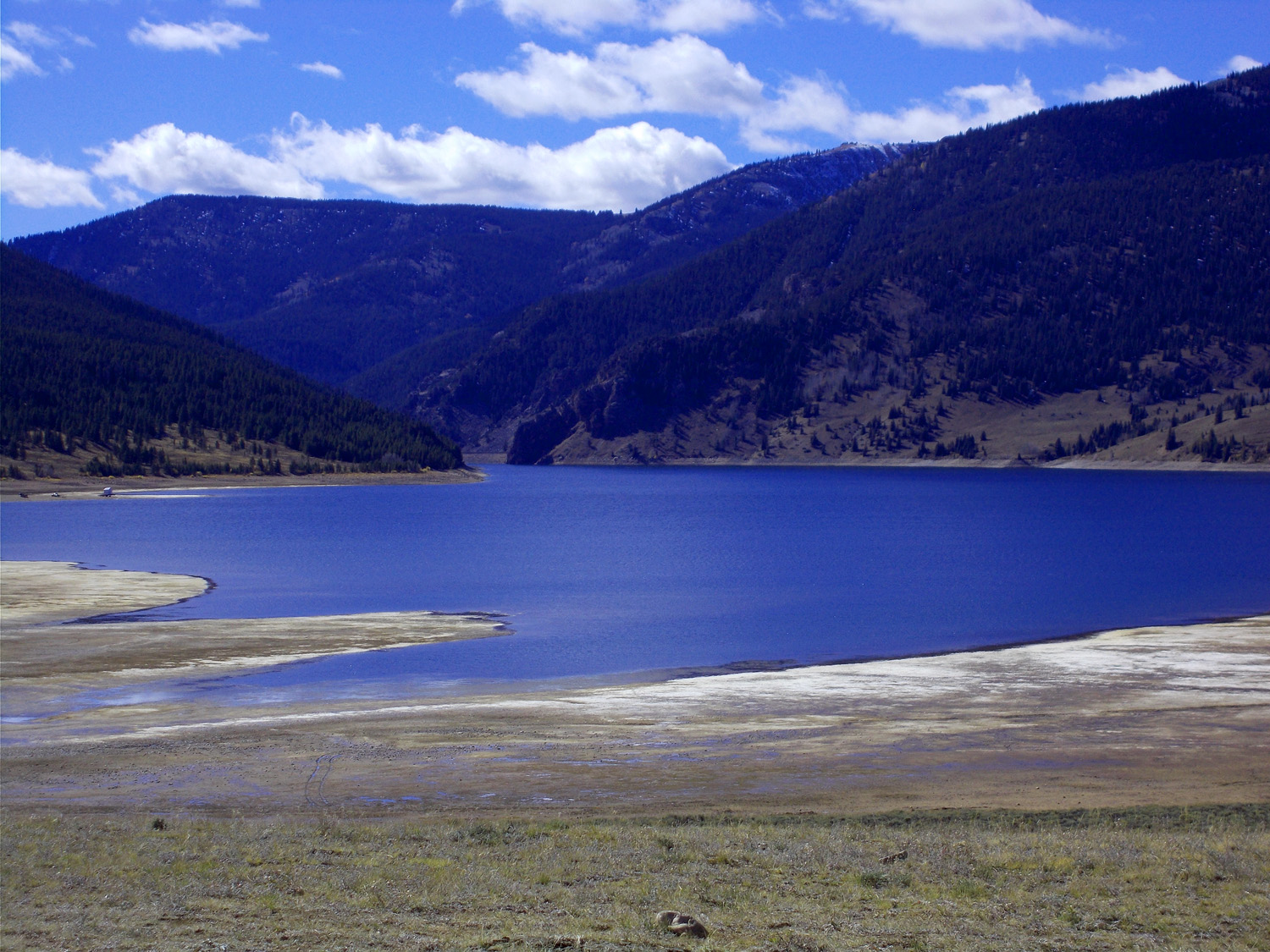
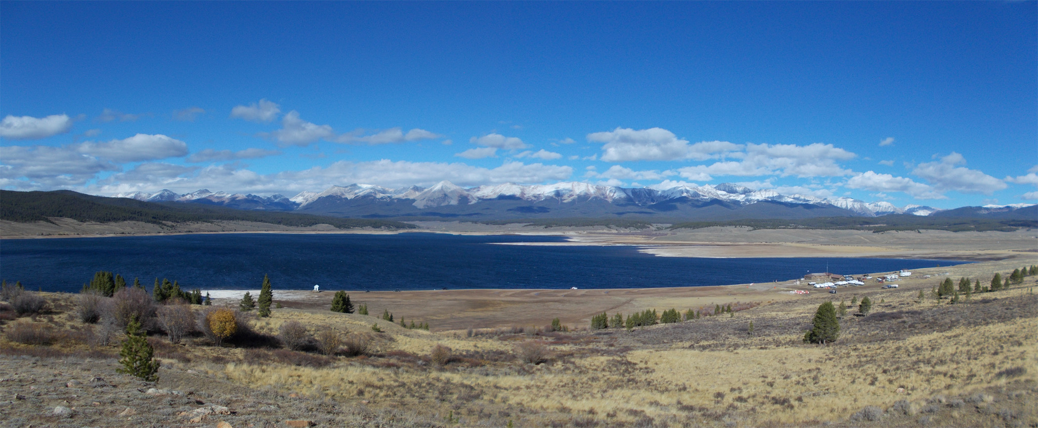
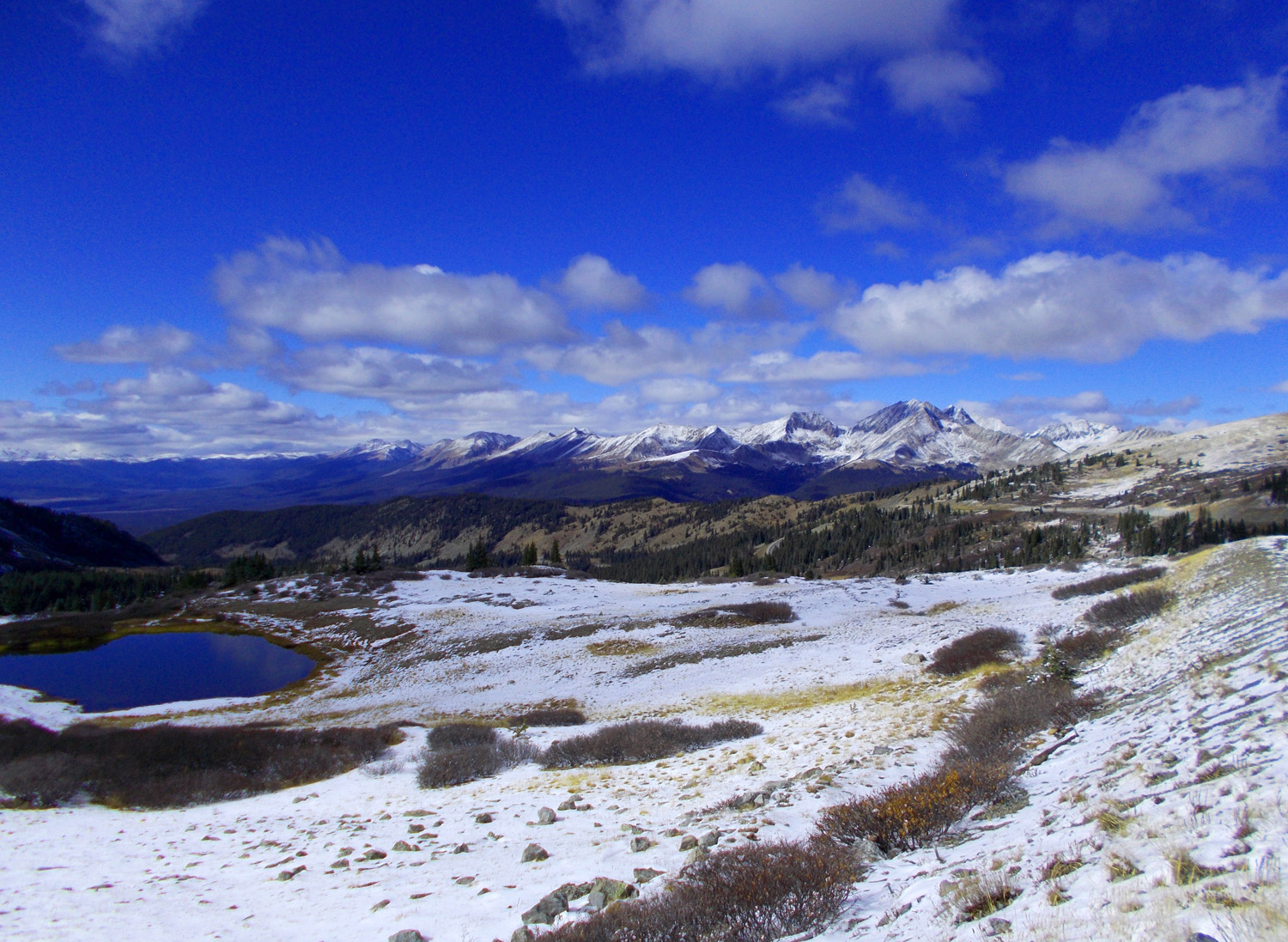
Taylor Park Reservoir
Matchless Mountain (12,383', left) and Park Cone (12,100') in the background
Oct 10 2021 - 2:53 pm
Matchless Mountain (12,383', left) and Park Cone (12,100') in the background
Oct 10 2021 - 2:53 pm
65 / 78
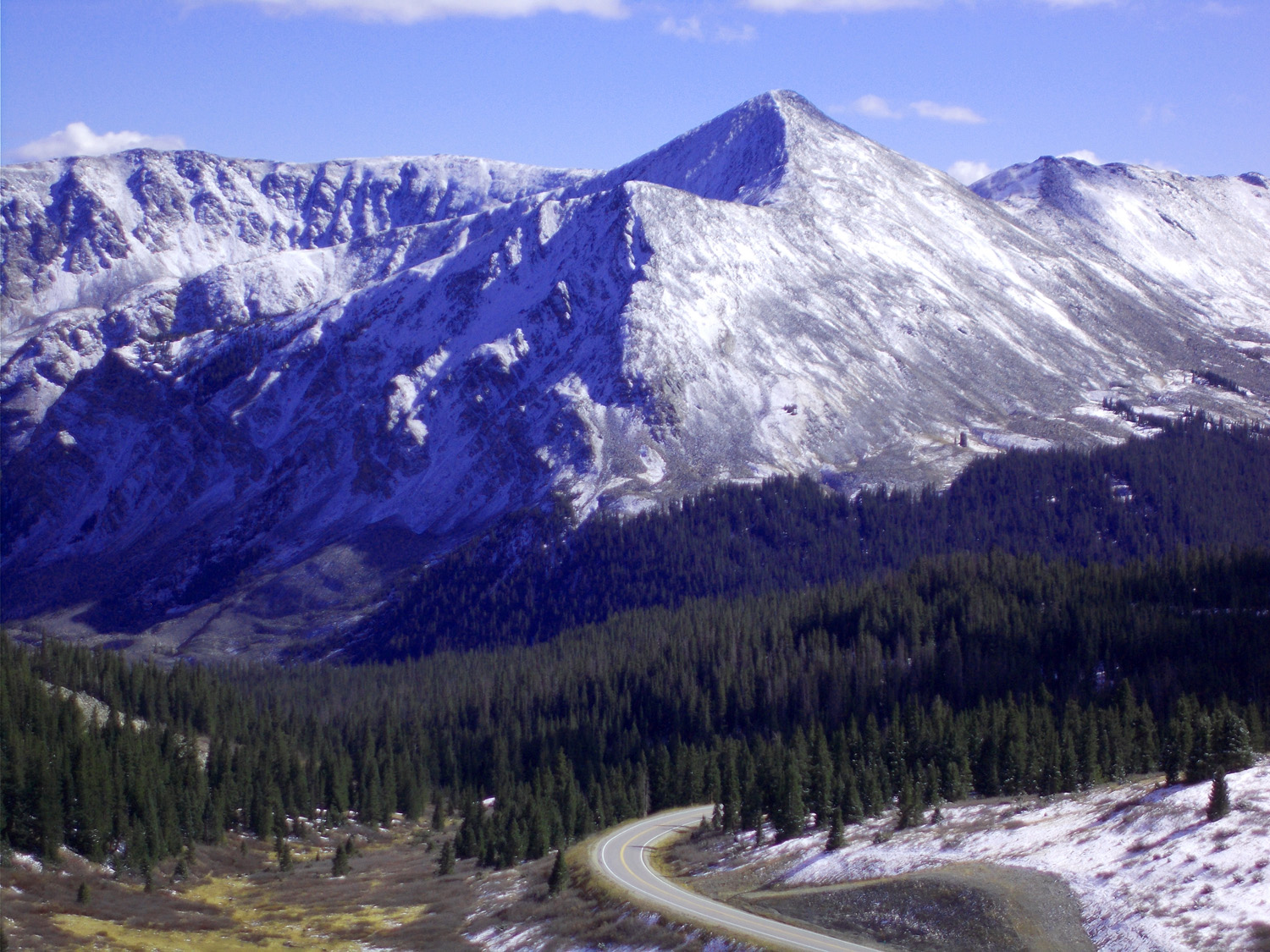
Mount Harvard (14,430')
Oct 10 2021 - 2:44 pm
Oct 10 2021 - 2:44 pm
66 / 78
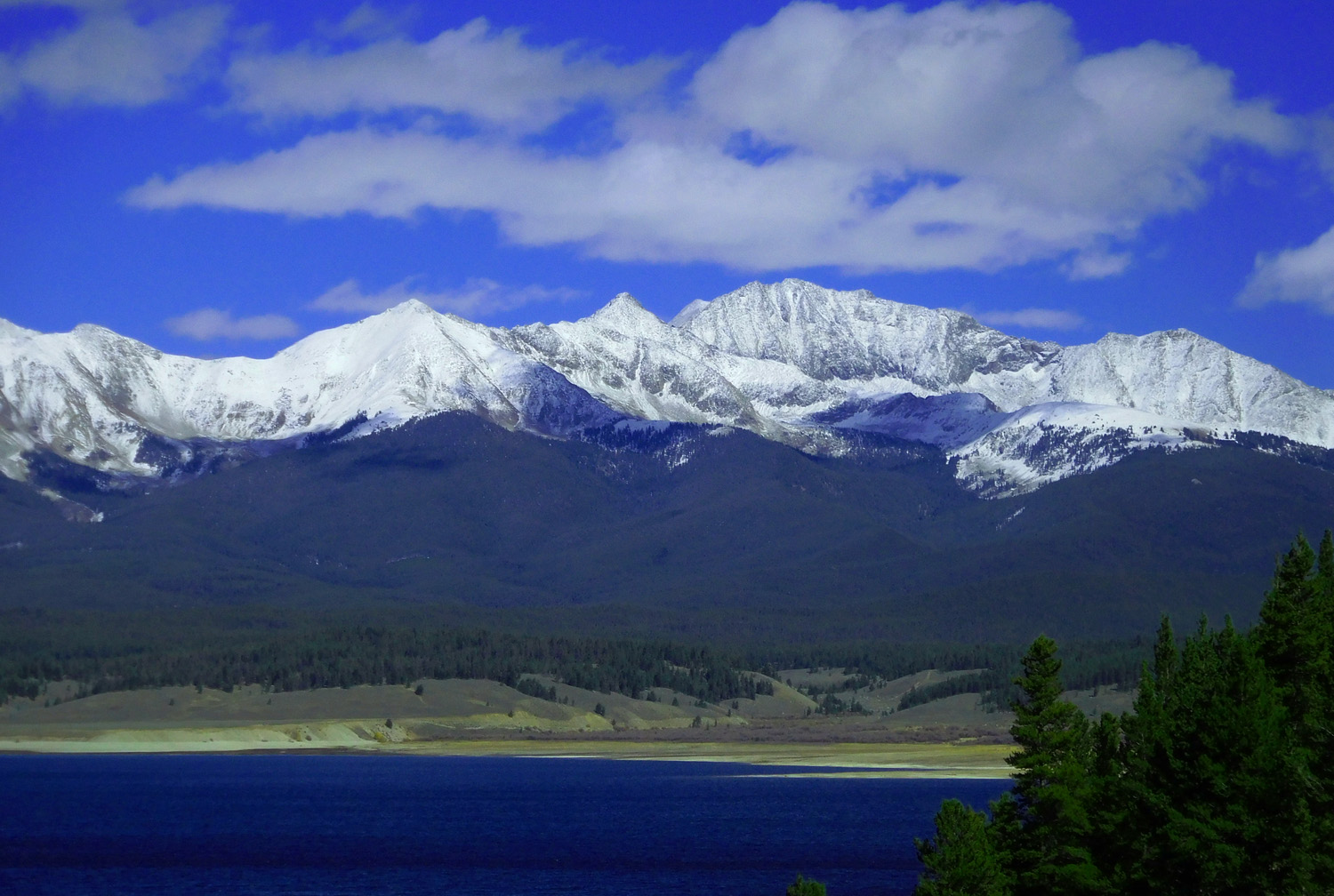
Sawatch Range
Oct 10 2021 - 2:52 pm
Oct 10 2021 - 2:52 pm
67 / 78
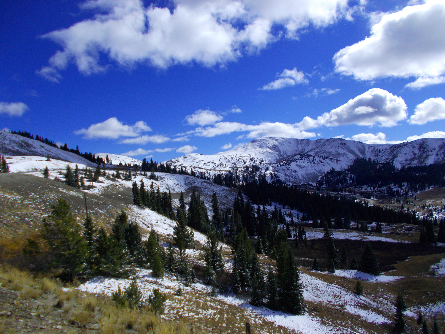
Highest paved pass in US
Oct 10 2021 - 3:02 pm
Oct 10 2021 - 3:02 pm
68 / 78
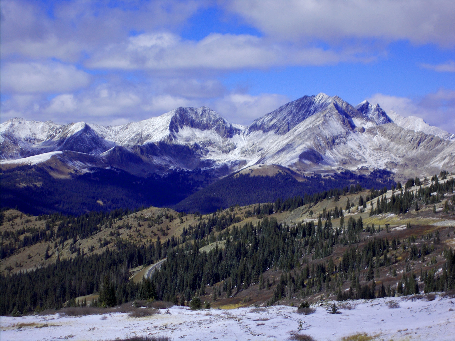
East side of pass from left: Mt. Yale (14,196'), Turner Peak (13,237') and Jones Mountain (13,221')
Oct 10 2021 - 2:59 pm
Oct 10 2021 - 2:59 pm
69 / 78
Telephoto of Turner Peak
Oct 10 2021 - 3:00 pm
Oct 10 2021 - 3:00 pm
70 / 78
Collegiate Peaks from the pass
Oct 10 2021 - 3:01 pm
Oct 10 2021 - 3:01 pm
71 / 78
Telephoto
Oct 10 2021 - 3:01 pm
Oct 10 2021 - 3:01 pm
72 / 78
Headed down the way up
Oct 10 2021 - 3:08 pm
Oct 10 2021 - 3:08 pm
73 / 78
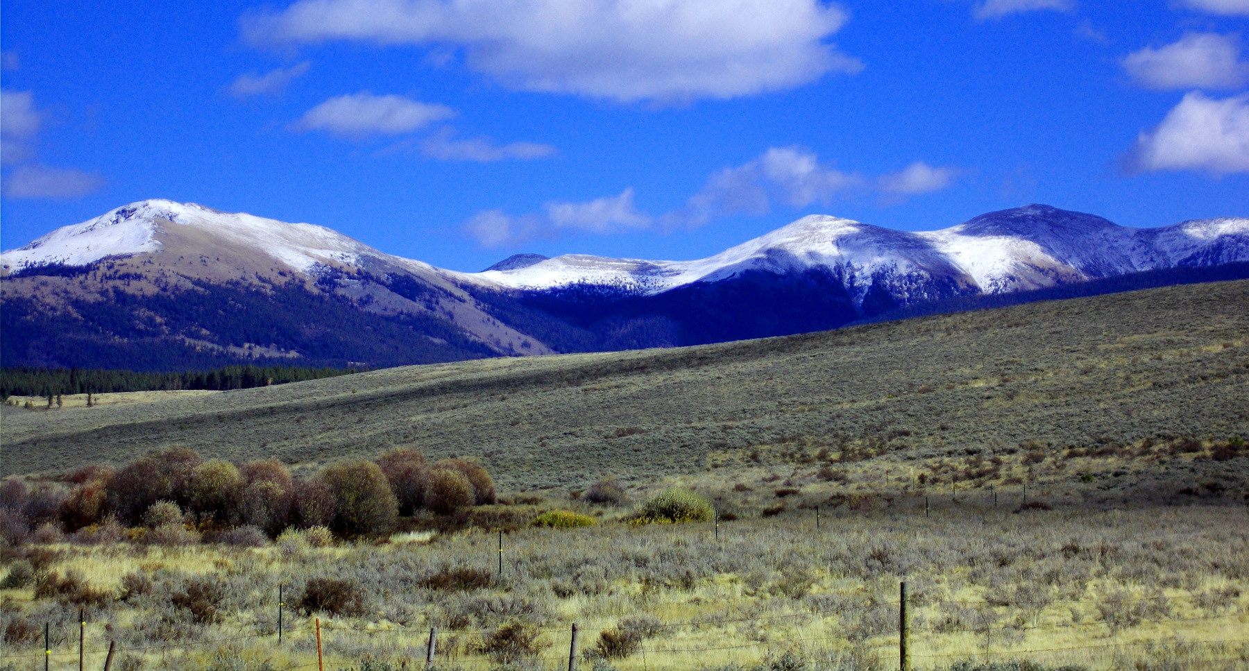
Foothills of the Sawatch Range
Oct 10 2021 - 3:30 pm
Oct 10 2021 - 3:30 pm
74 / 78
Back to Taylor River Road
Oct 10 2021 - 4:13 pm
Oct 10 2021 - 4:13 pm
75 / 78
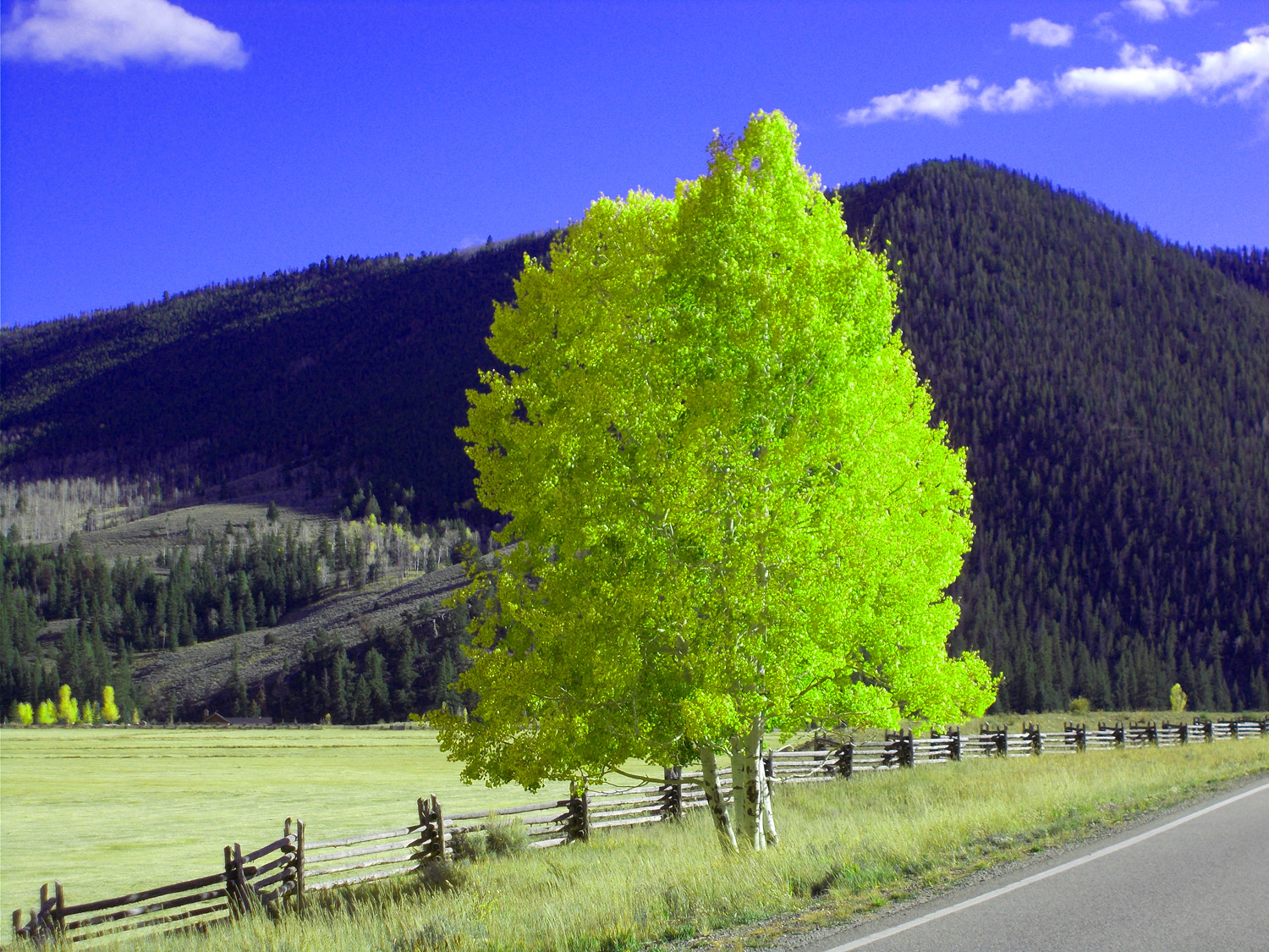
In Tayor River Canyon most yellow are single trees
Oct 10 2021 - 4:20 pm
Oct 10 2021 - 4:20 pm
76 / 78
Occasional groups of yellow trees
Oct 10 2021 - 4:14 pm
Oct 10 2021 - 4:14 pm
77 / 78
Back to 135 retracing the route
Oct 10 2021 - 4:45 pm
Oct 10 2021 - 4:45 pm
78 / 78
South end of CO 135
US 50 in Gunnison
US 50 in Gunnison