19 Slides
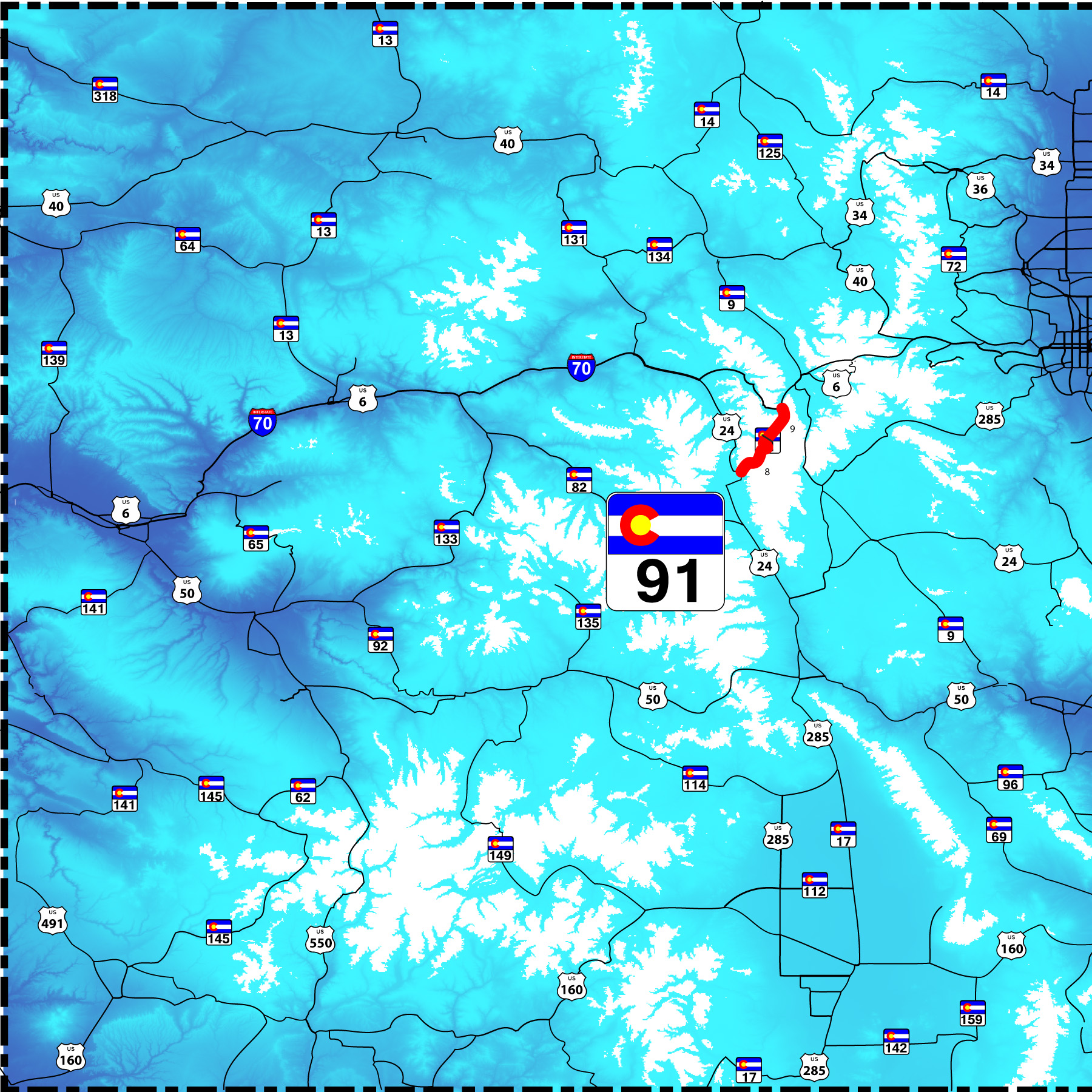
22 mile road over Freemont Pass at Climax
Road Index or use your browser "back" arrow or function 10 second cycle: please choose another user-controlled 2 seconds 5 seconds 30 seconds 1 minute
1 / 19
2 / 19
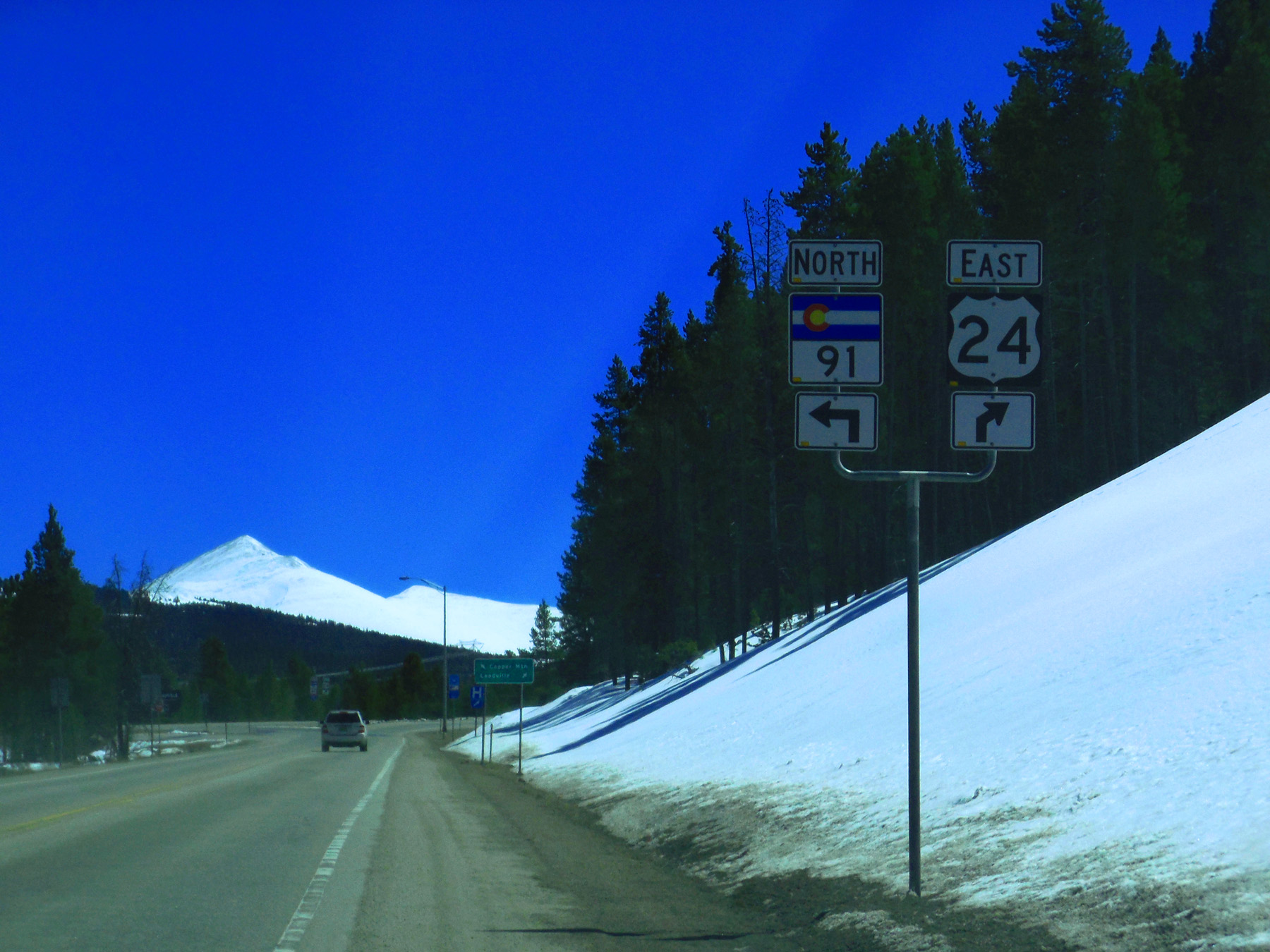
South end of CO 91 (US 24 just north of Leadville)
Apr 06 2017 - 12:57 pm
Apr 06 2017 - 12:57 pm
3 / 19
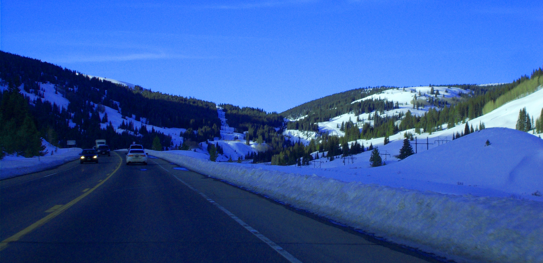
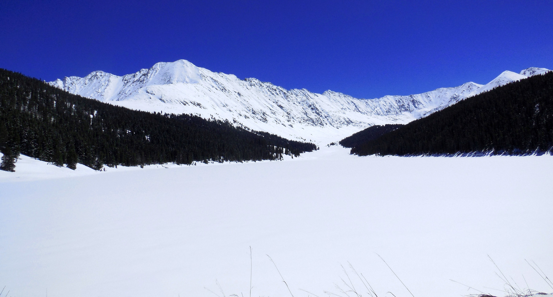
East Fork of the Arkansas River
Feb 28 2020 - 4:33 pm
Feb 28 2020 - 4:33 pm
4 / 19
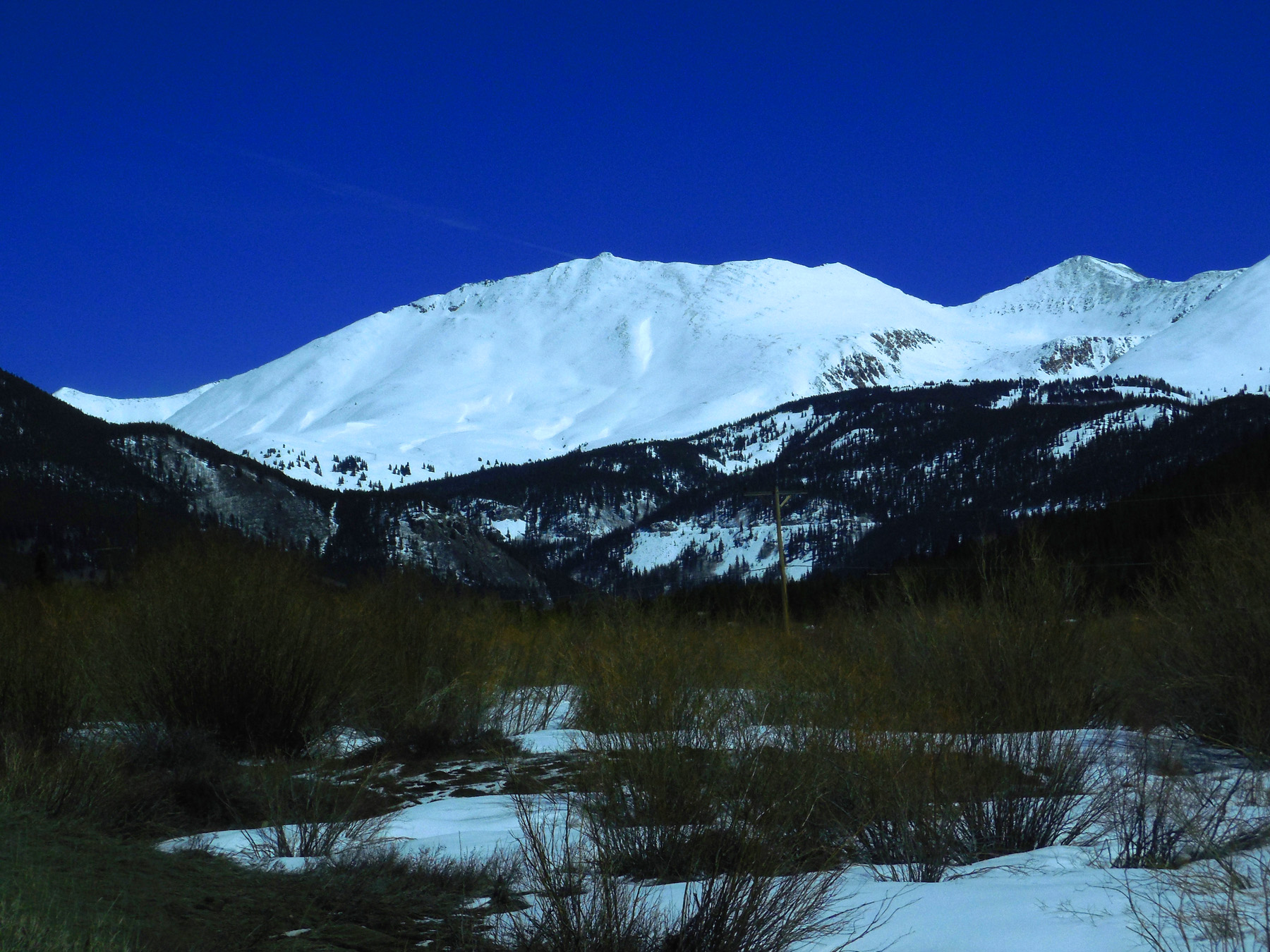
Mt. Arkansas (13,795') and Mt. Tweto (13,672')
Apr 06 2017 - 1:01 pm
Apr 06 2017 - 1:01 pm
5 / 19
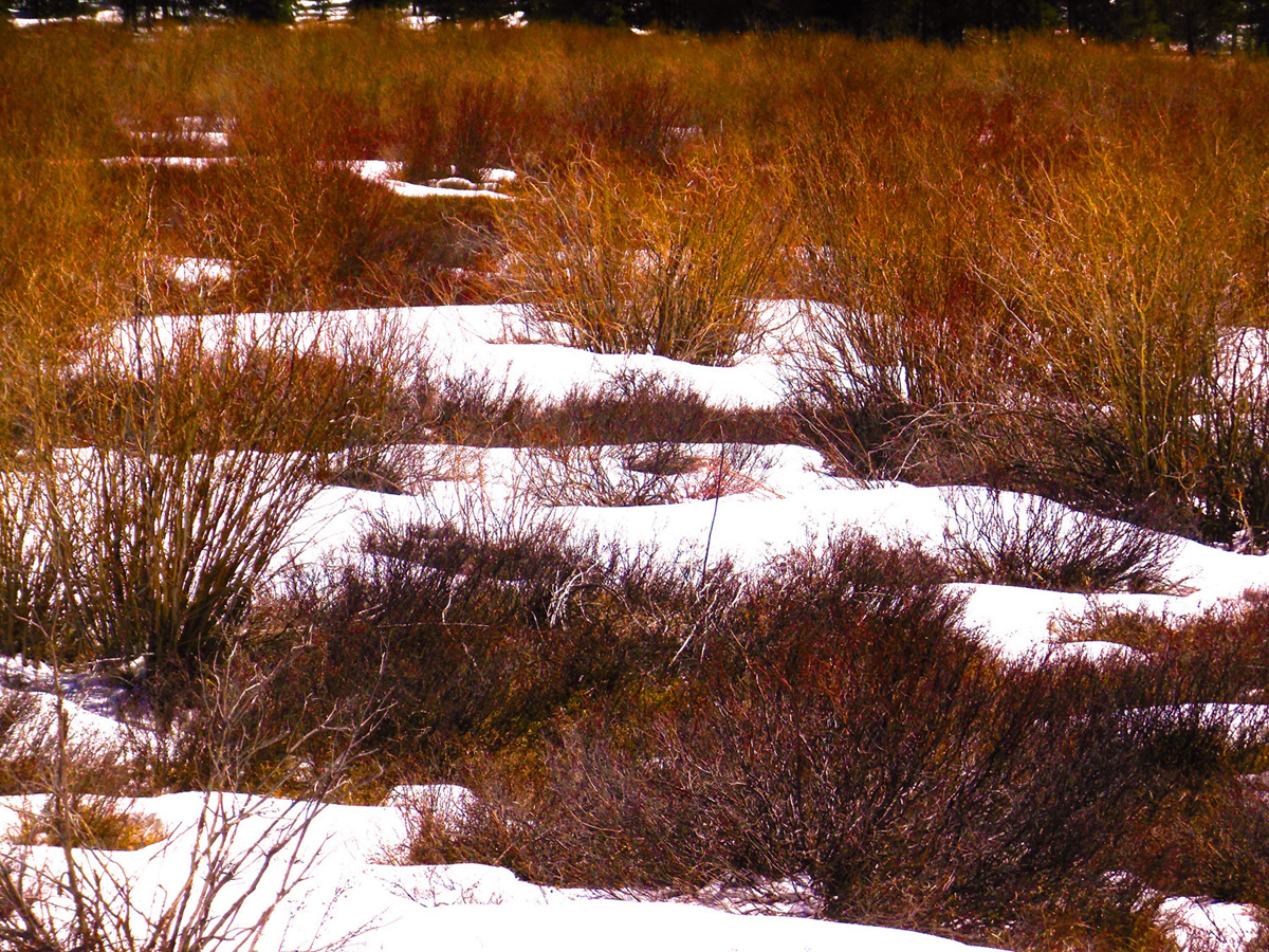
Colorful bushes along the East Fork
Apr 06 2017 - 1:02 pm
Apr 06 2017 - 1:02 pm
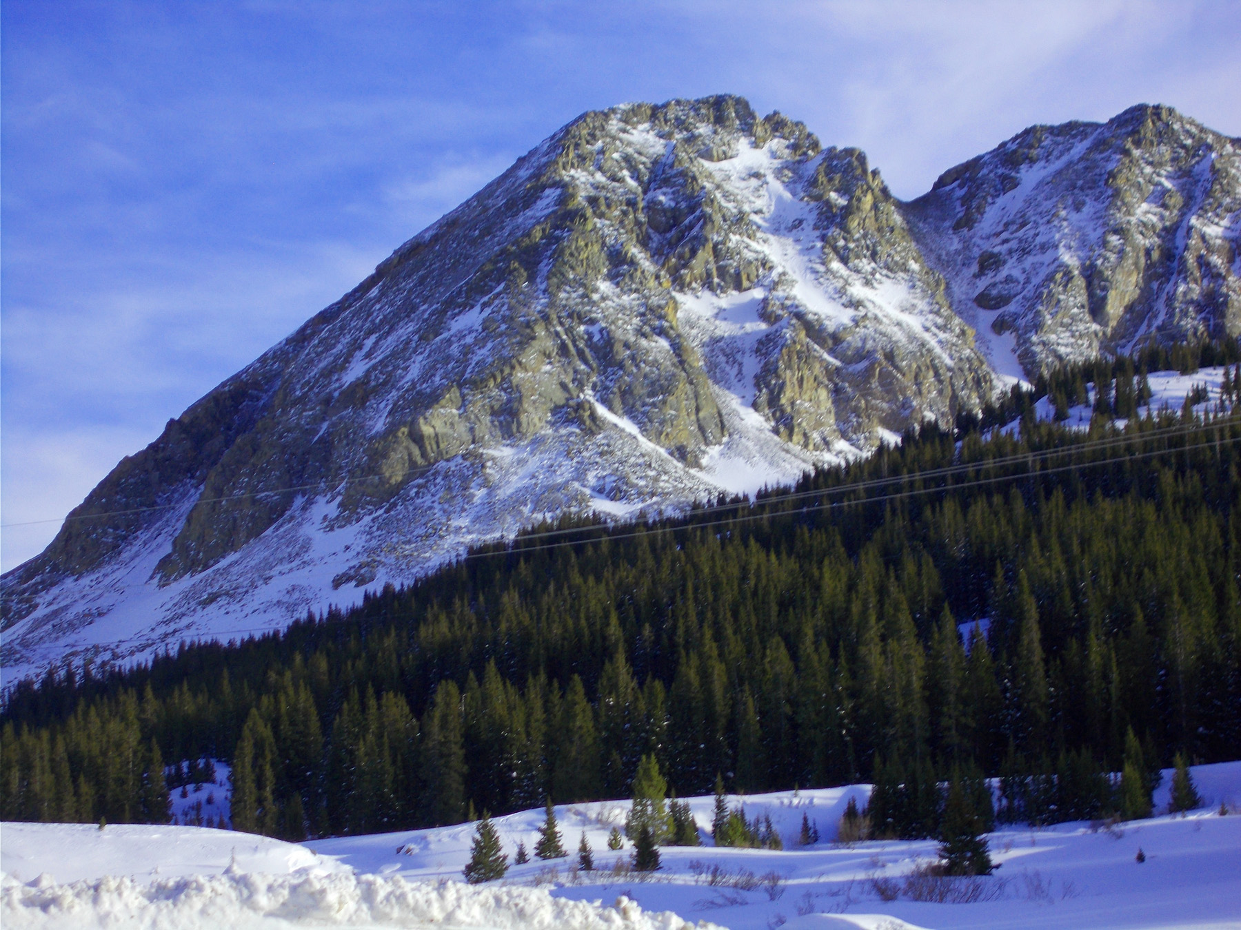
6 / 19
Clinton Peak (13,857') and Mt.Bartlett (13,555') (framing the Glory Hole excavation)
Apr 06 2017 - 1:08 pm
Apr 06 2017 - 1:08 pm
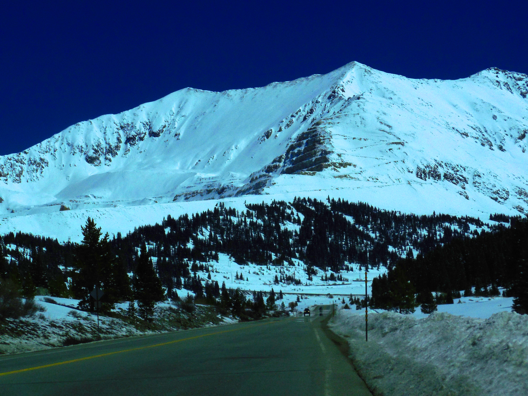
7 / 19
Mt. Democrat (14,148') (from west switchback)
Apr 06 2017 - 1:17 pm
Apr 06 2017 - 1:17 pm
8 / 19
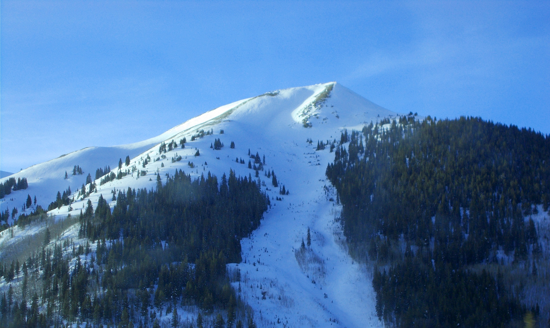
McNamee Peak (13,790')
Feb 28 2020 - 4:37 pm
Feb 28 2020 - 4:37 pm
9 / 19
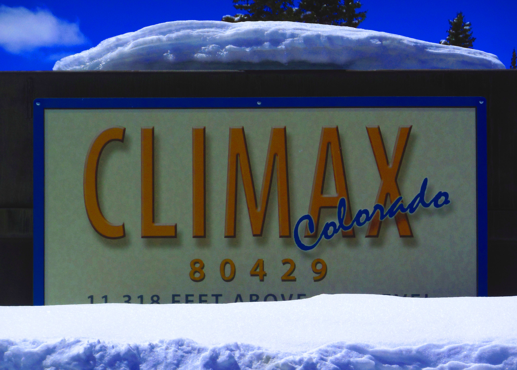
Freemont Pass at Climax
Apr 06 2017 - 1:13 pm
Apr 06 2017 - 1:13 pm
10 / 19
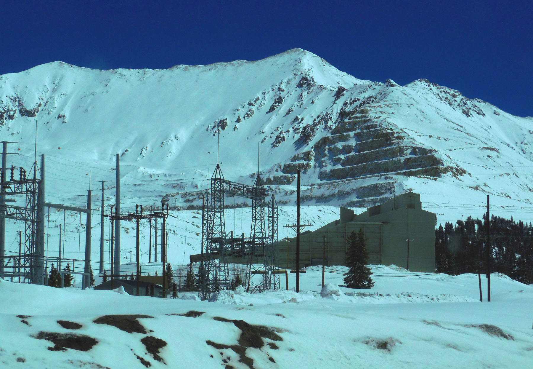
Molybdenum Mine (cause of the Glory Hole at Climax)
Apr 06 2017 - 1:14 pm
Apr 06 2017 - 1:14 pm
11 / 19
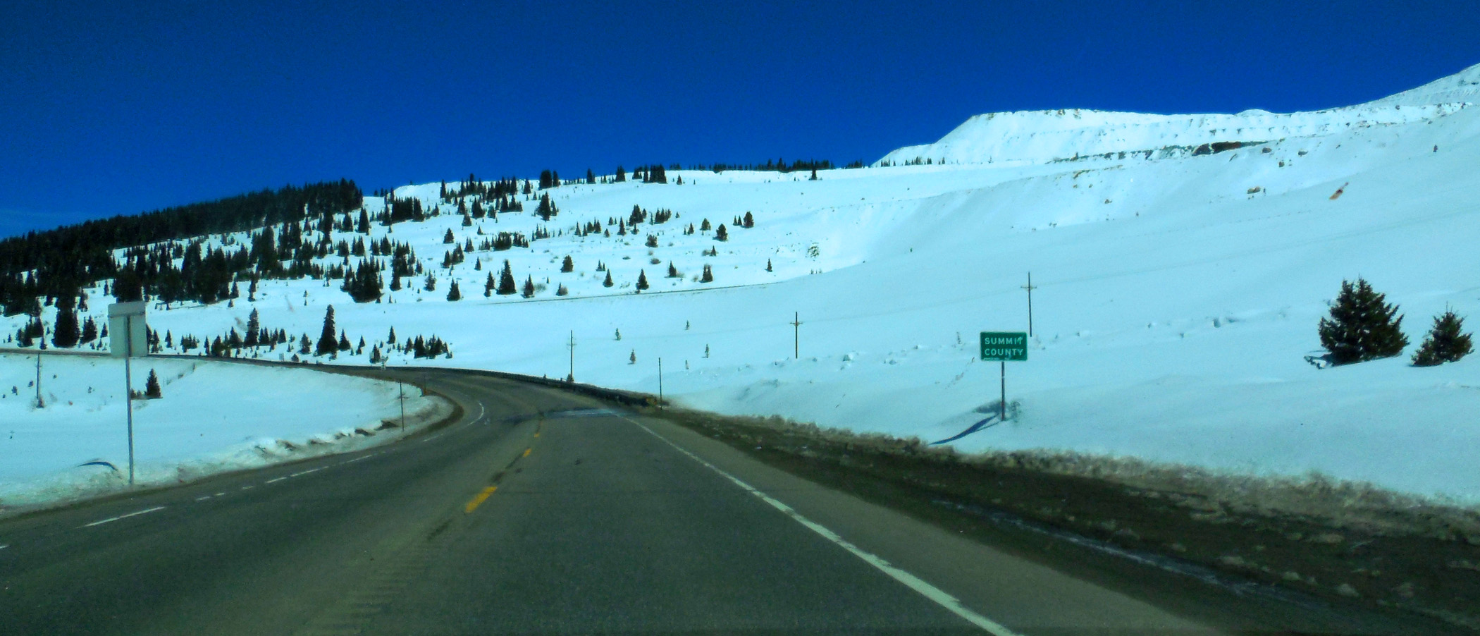
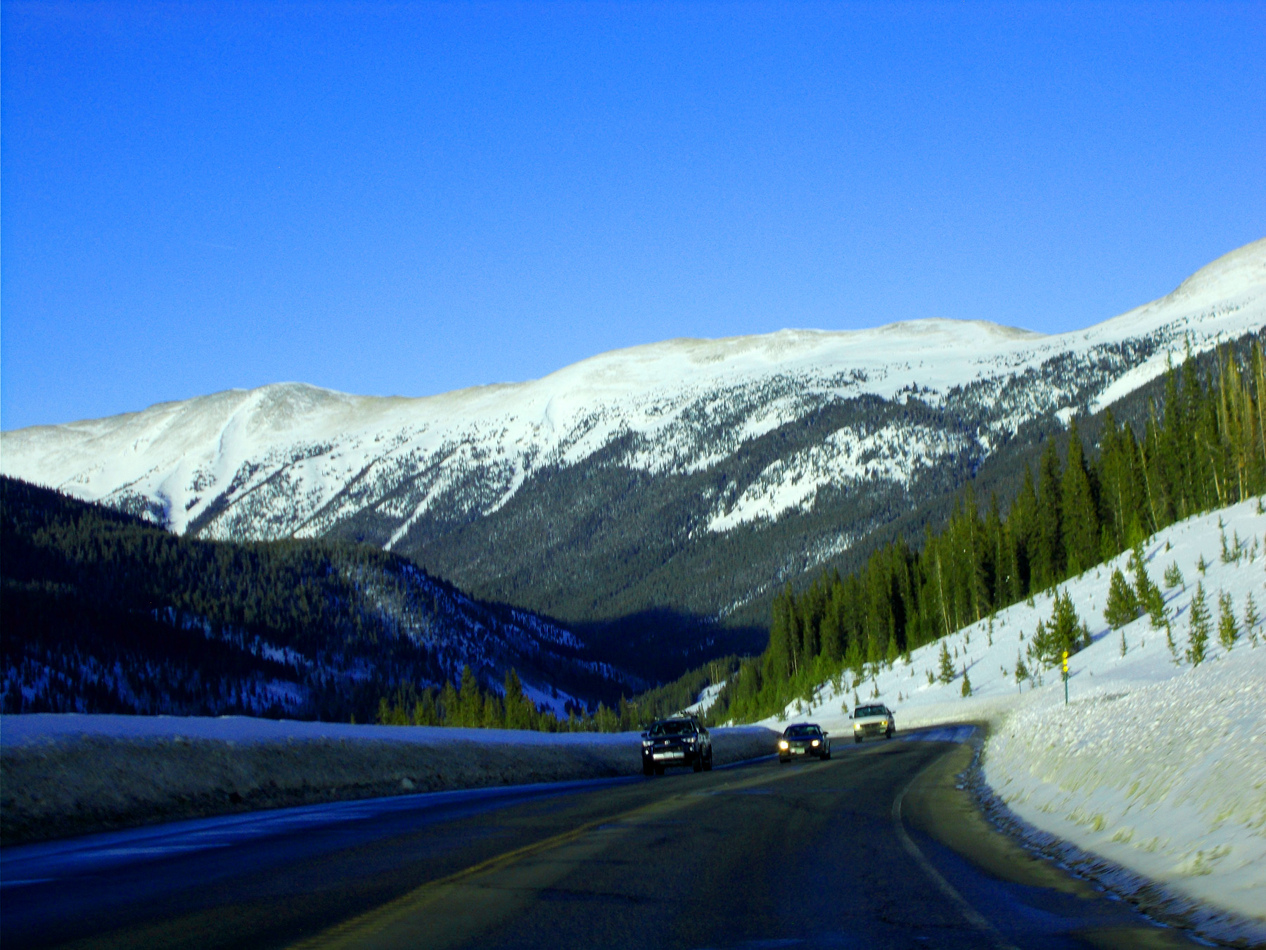
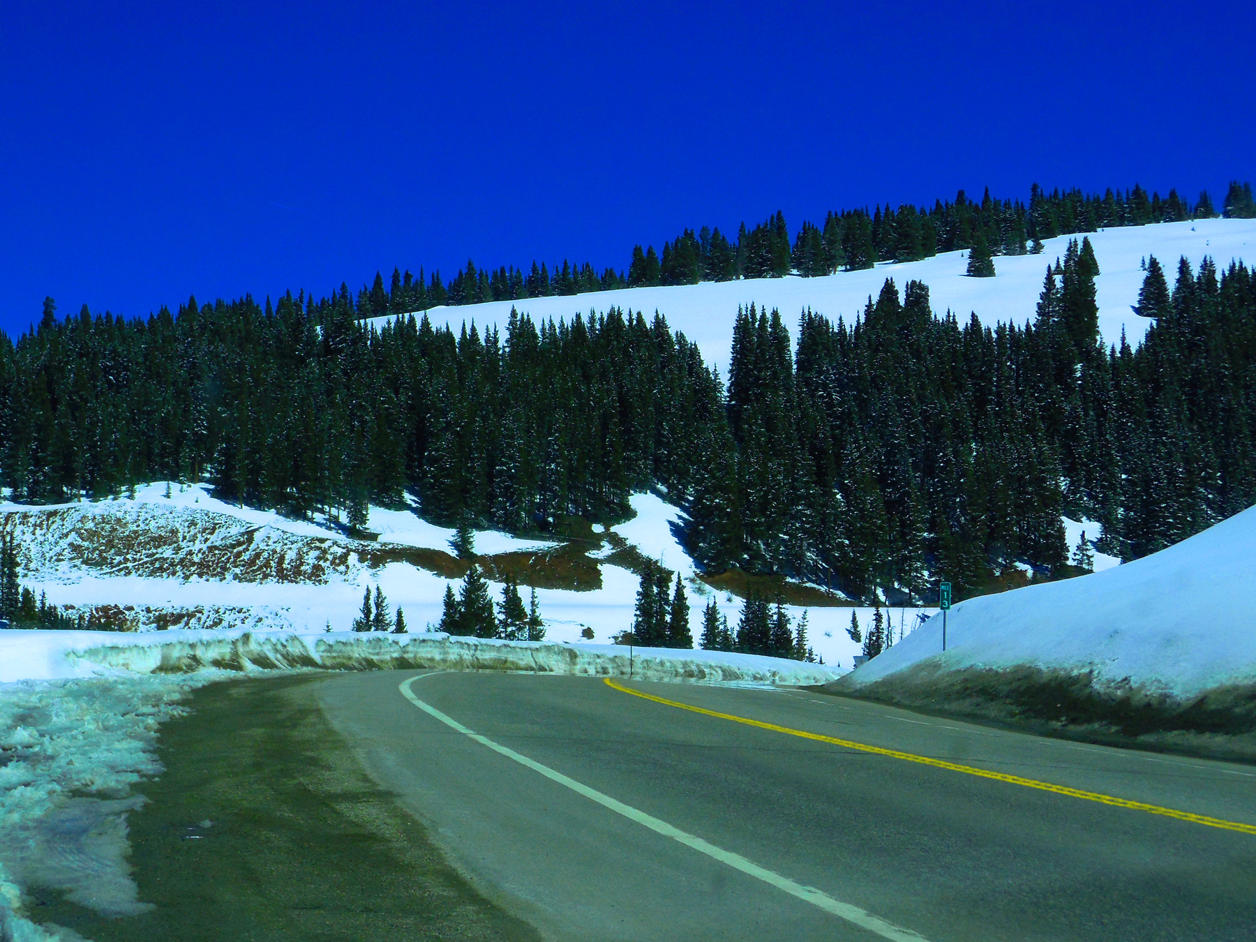
Over the pass to I 70
Apr 06 2017 - 1:17 pm
Apr 06 2017 - 1:17 pm
12 / 19
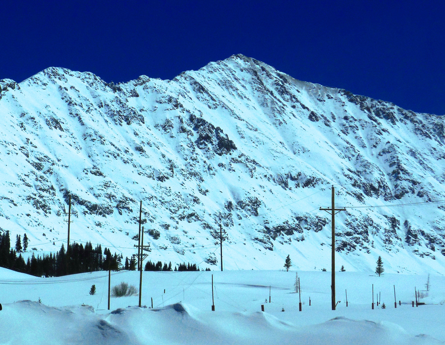
Telephoto of jagged granite ridge
Apr 06 2017 - 1:19 pm
Apr 06 2017 - 1:19 pm
13 / 19
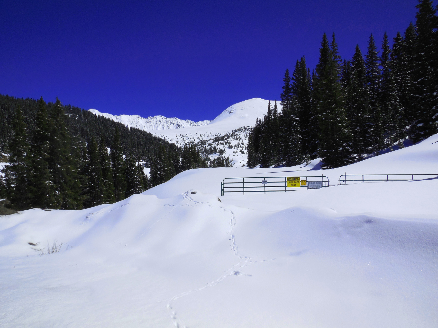
Wide angle (possum tracks in the snow)
Apr 06 2017 - 1:19 pm
Apr 06 2017 - 1:19 pm
14 / 19
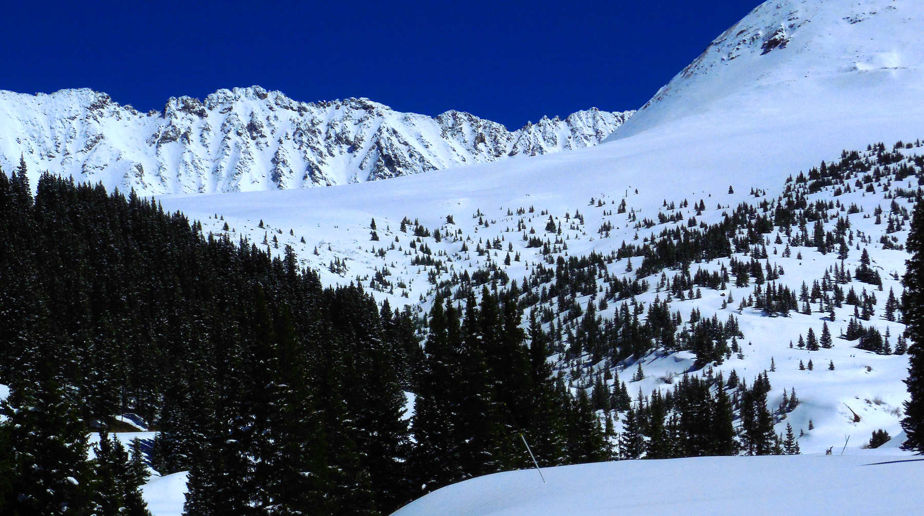
13,000' ridge (from Clinton Peak (13,857' right) to Fletcher Mountain (13,951' left)
Apr 06 2017 - 1:23 pm
Apr 06 2017 - 1:23 pm
15 / 19
Telephoto of Wheeler Peak (13,690') (in the middle of the ridge)
Apr 06 2017 - 1:11 pm
Apr 06 2017 - 1:11 pm
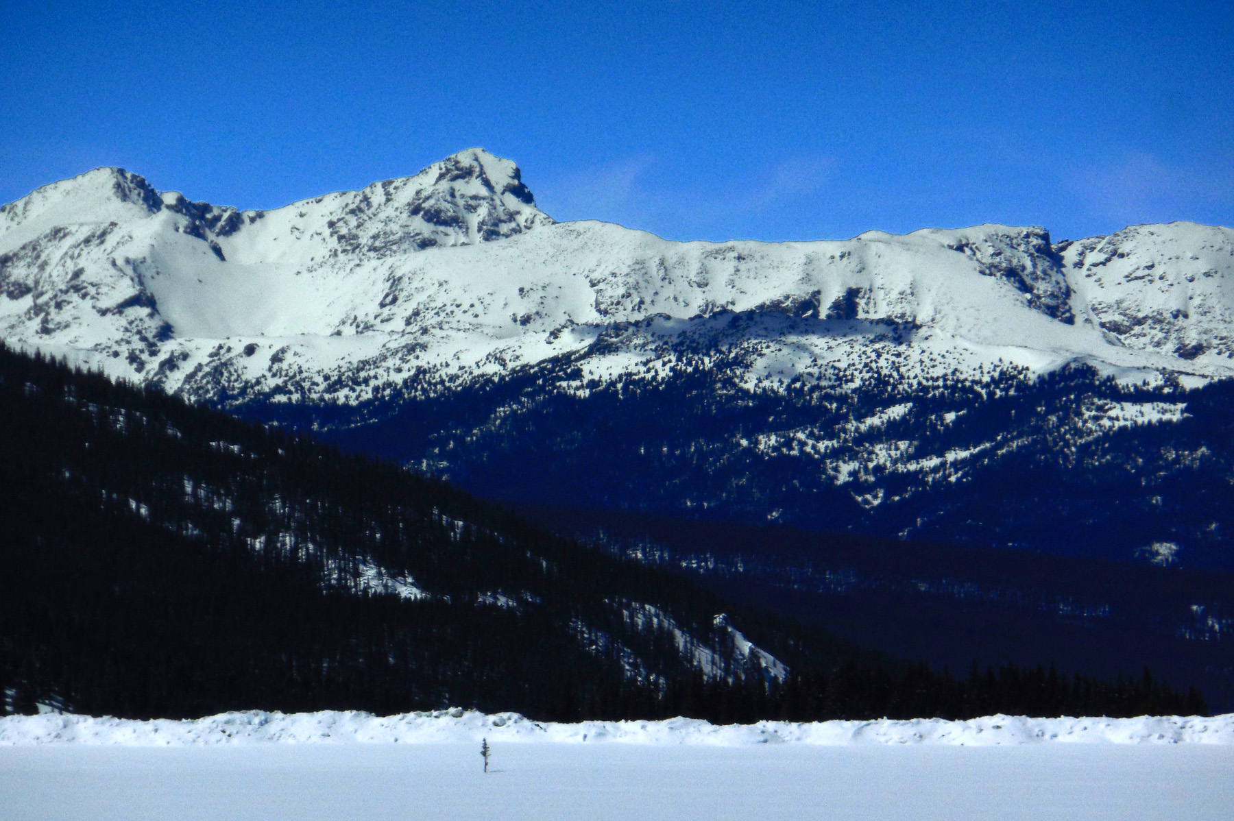
16 / 19
Down 10 Mile Creek (Peak 6 to 8 or so of the Ten Mile Range in background)
Feb 28 2020 - 4:45 pm
Feb 28 2020 - 4:45 pm
17 / 19
East Sheep Mountain (11,912') (southernmost peak of the Gore Range)
Feb 28 2020 - 4:45 pm
Feb 28 2020 - 4:45 pm
18 / 19
I can't get used to the blue Colorado sky
Apr 06 2017 - 1:17 pm
Apr 06 2017 - 1:17 pm
19 / 19
North end of CO 91 (I 70 at Wheeler Junction, six miles west of Frisco)