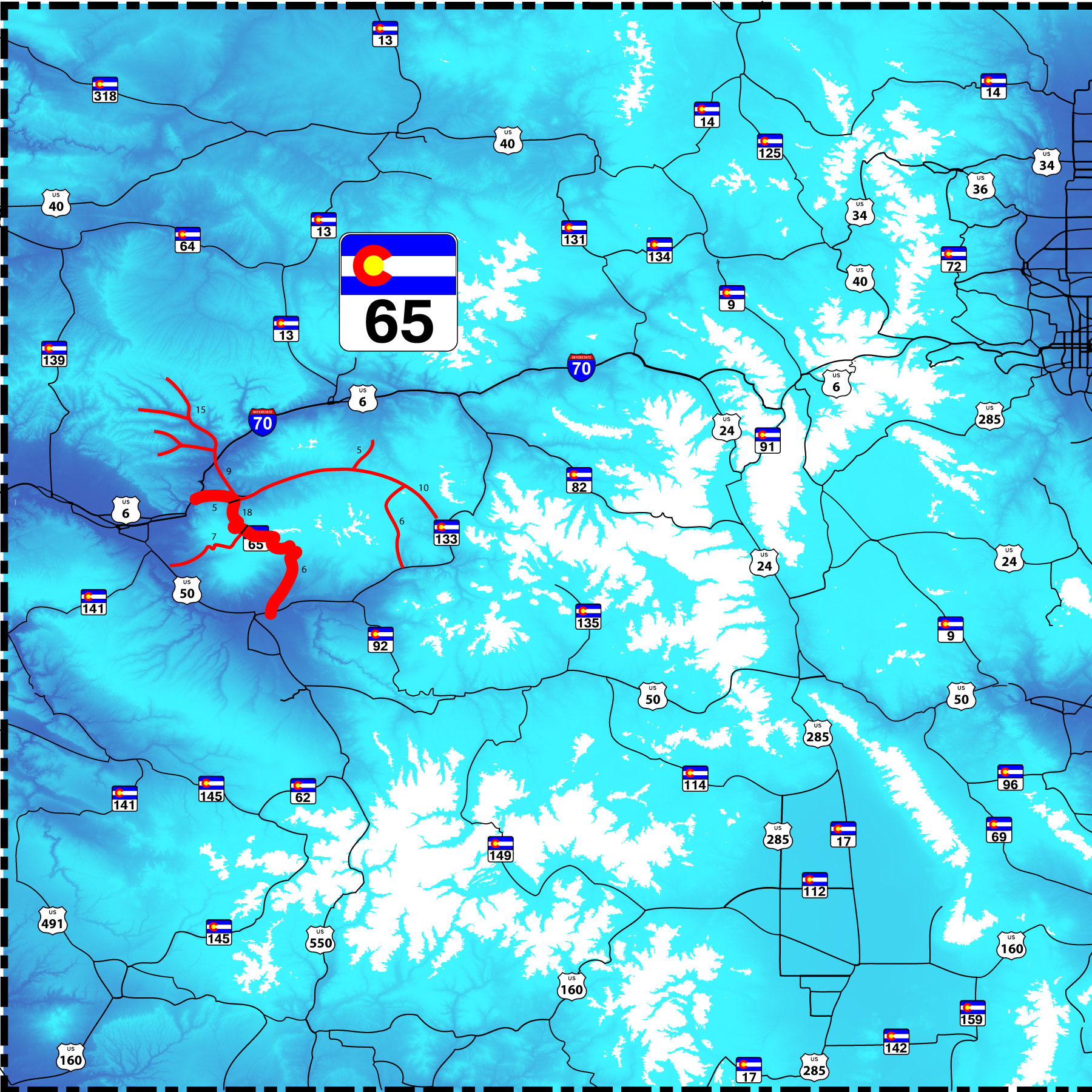
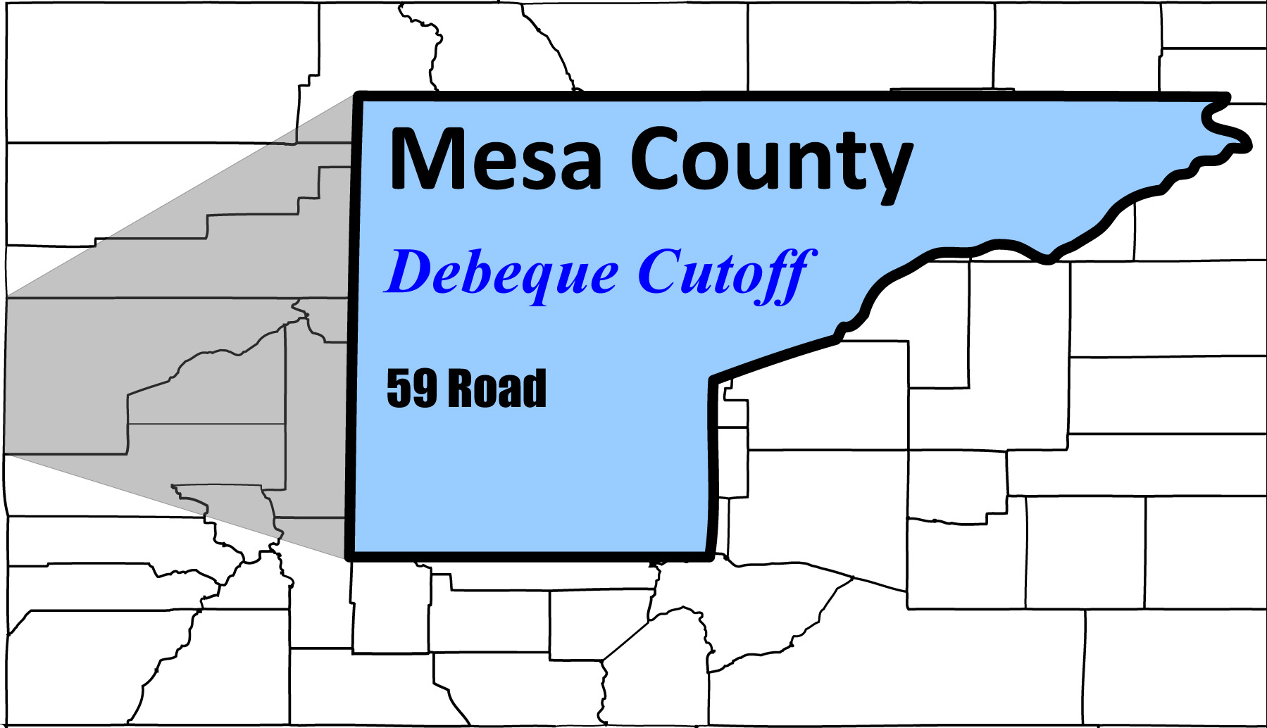
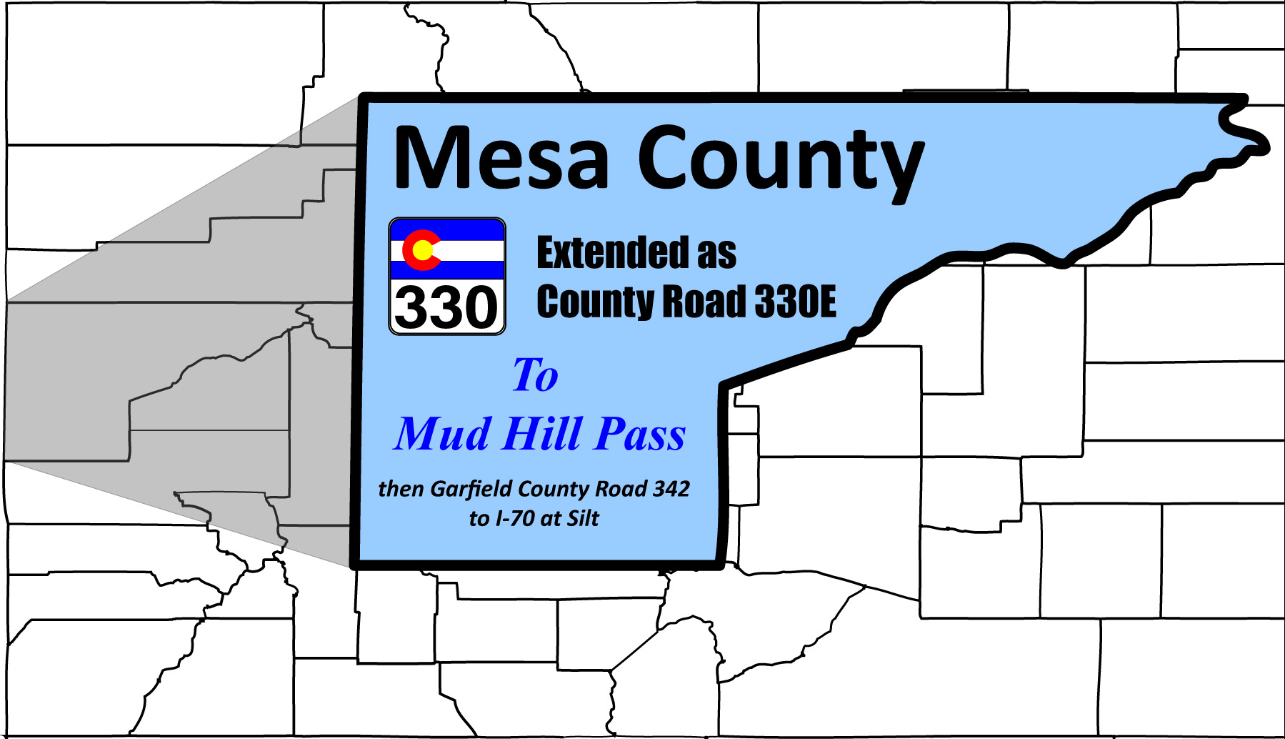
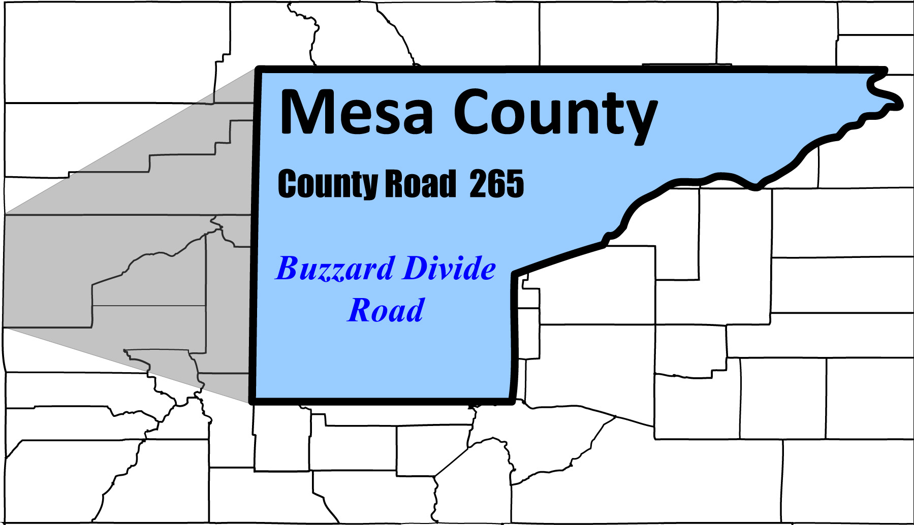
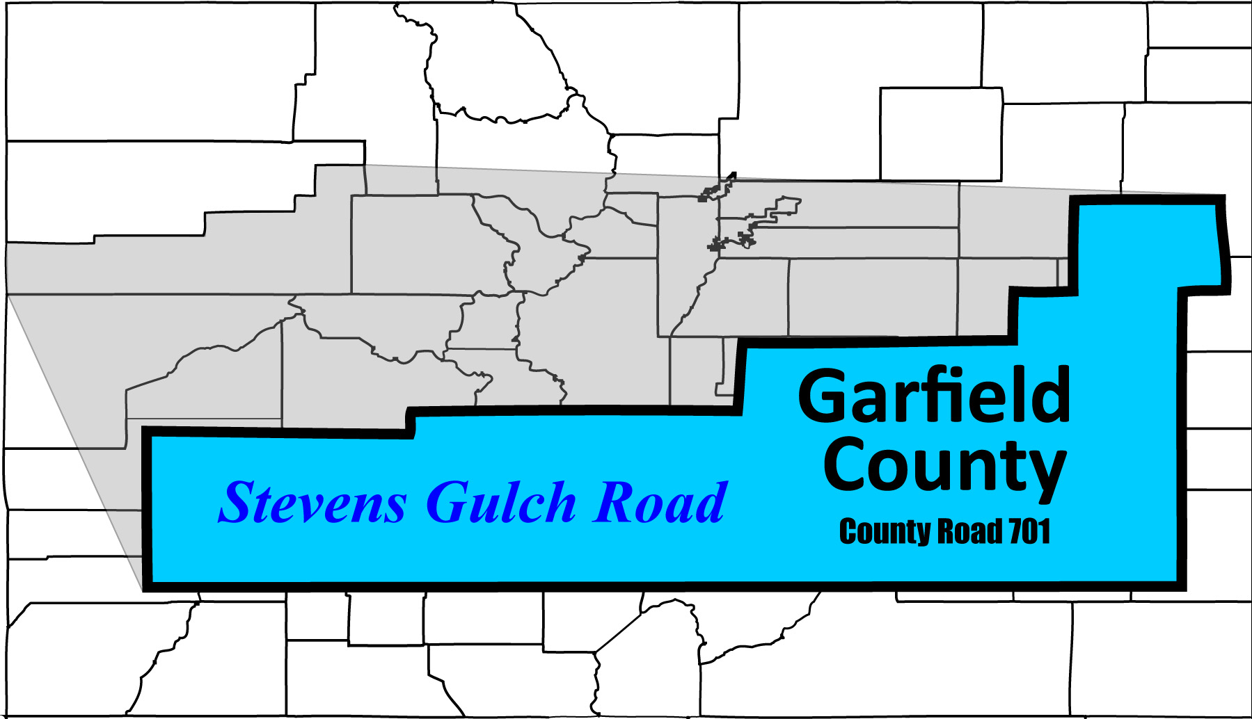
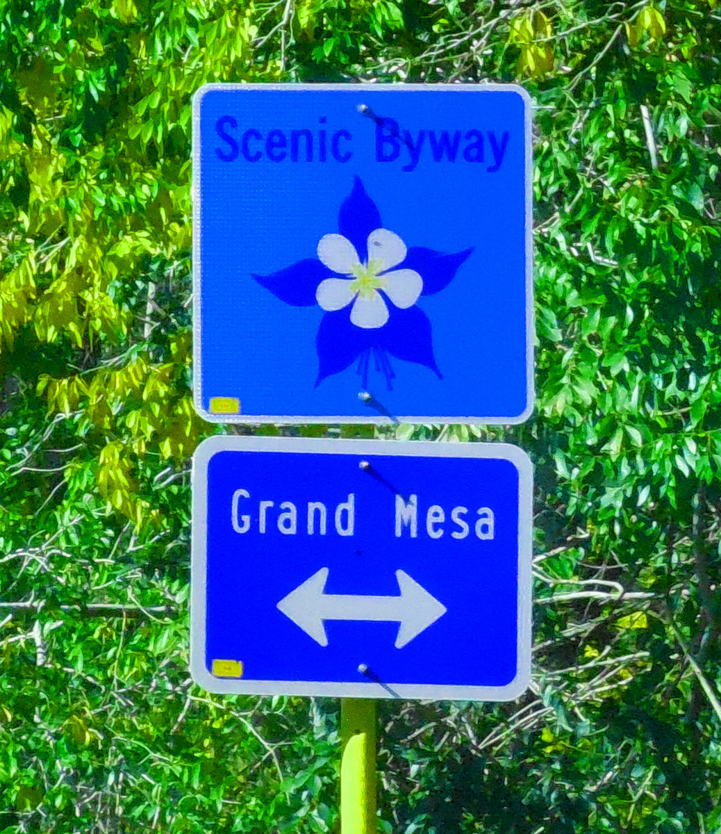
90 slides (including 6 side roads: Debeque Cutoff, Roan Creek Road, CO 330, Buzzard Divide Road, Stevens Gulch Road, and Lands End Road)
Road Index or use your browser "back" arrow or function 2 second cycle: please choose another user-controlled 5 seconds 10 seconds 30 seconds 1 minute
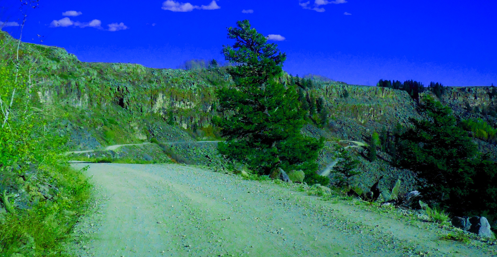
1 / 90
2 / 90
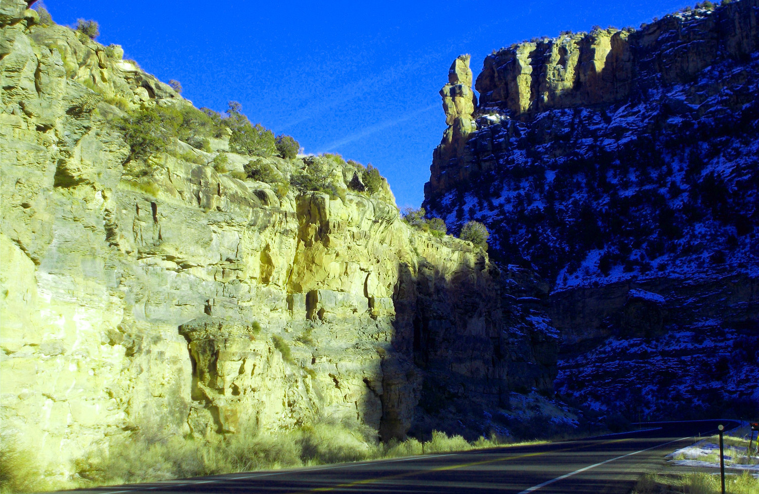
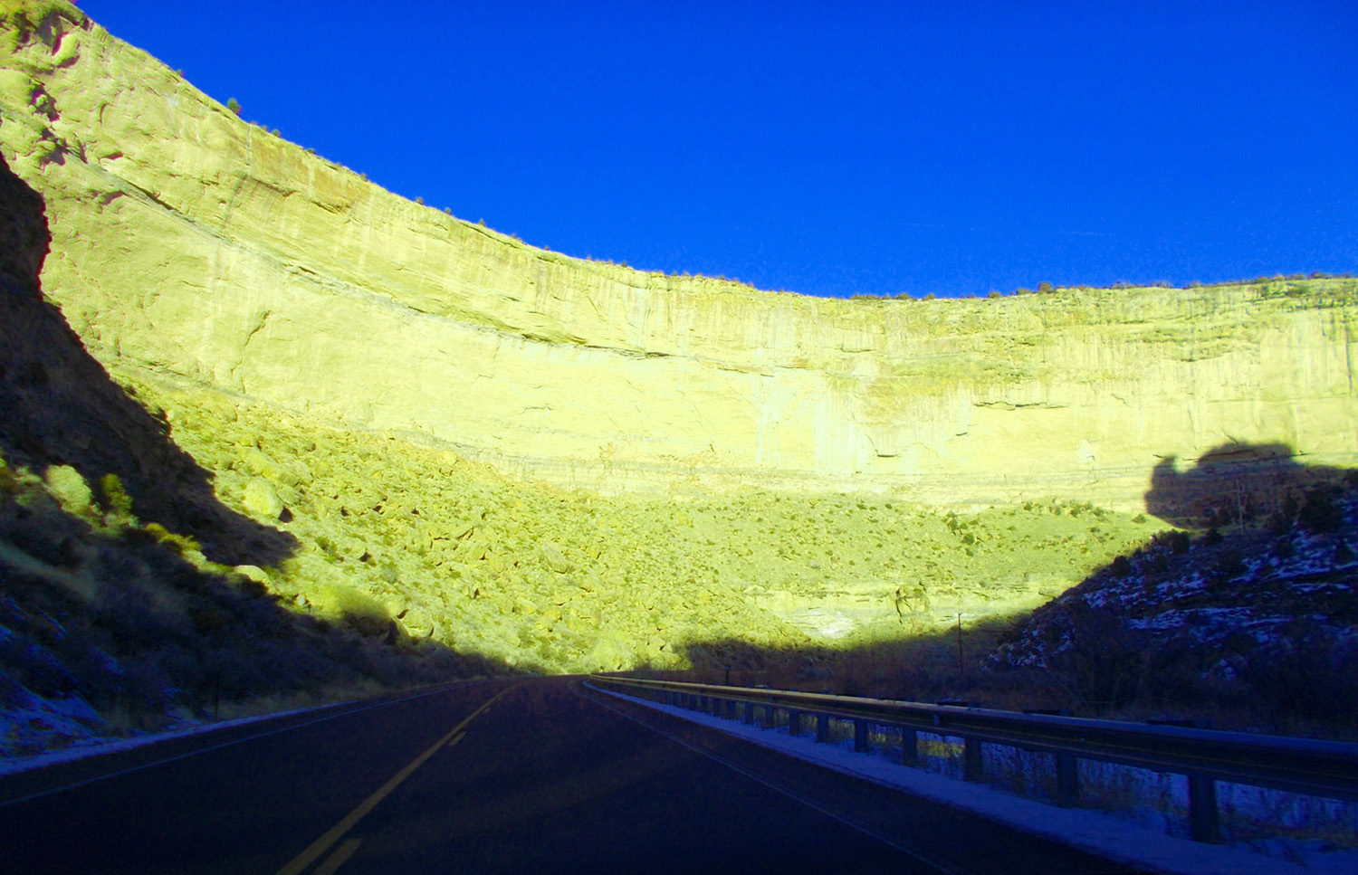
North End of CO 65, I 70 exit (in the deepest part of DeBeque Canyon)
May 29 2020 - 2:41 pm
May 29 2020 - 2:41 pm
3 / 90
Mesa Verde sandstone (rock shaped like feathered warrior head) e.g. Souix Warrior Internet Link
Jan 15 2020 - 4:42 pm
Jan 15 2020 - 4:42 pm
4 / 90
Warrior shadow becomes a triceratops (appropriate because triceratops roamed Mesa Verda shores)
Jan 15 2020 - 4:42 pm
Jan 15 2020 - 4:42 pm
5 / 90
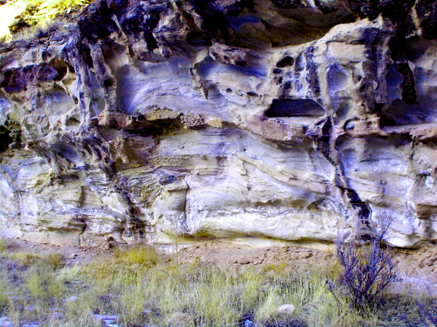
Mesa Verde sandstone weathering
Jan 15 2020 - 4:38 pm
Jan 15 2020 - 4:38 pm
6 / 90
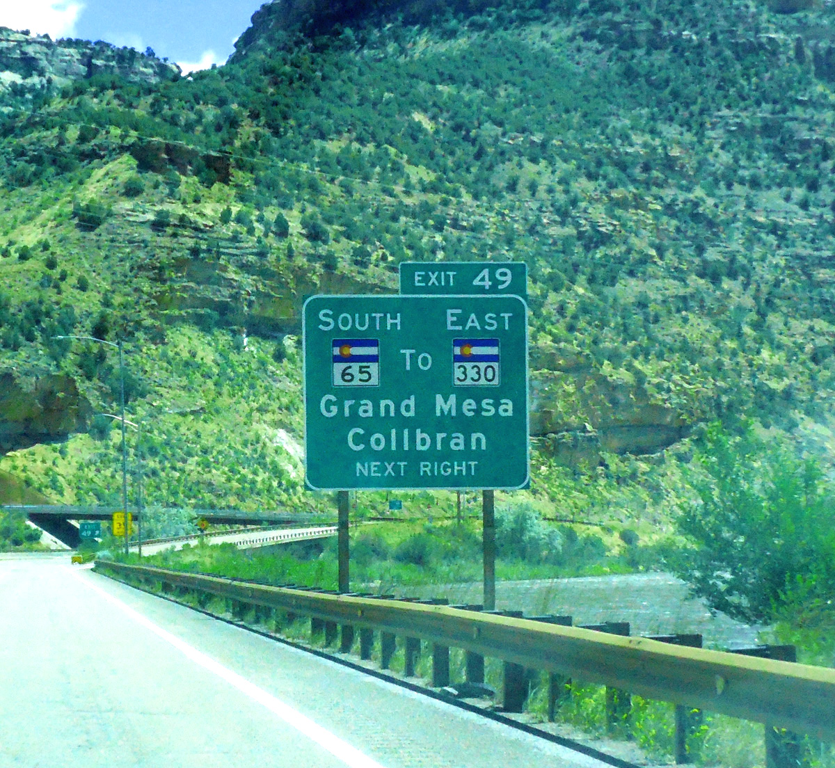
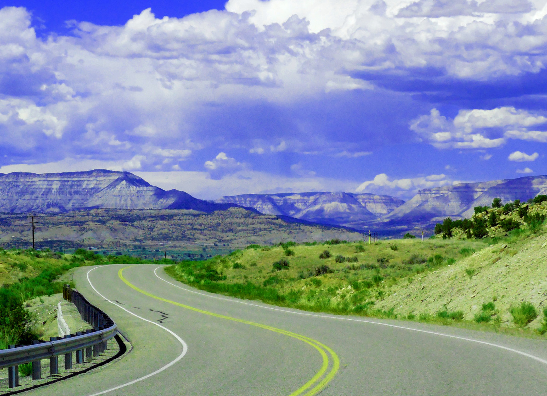
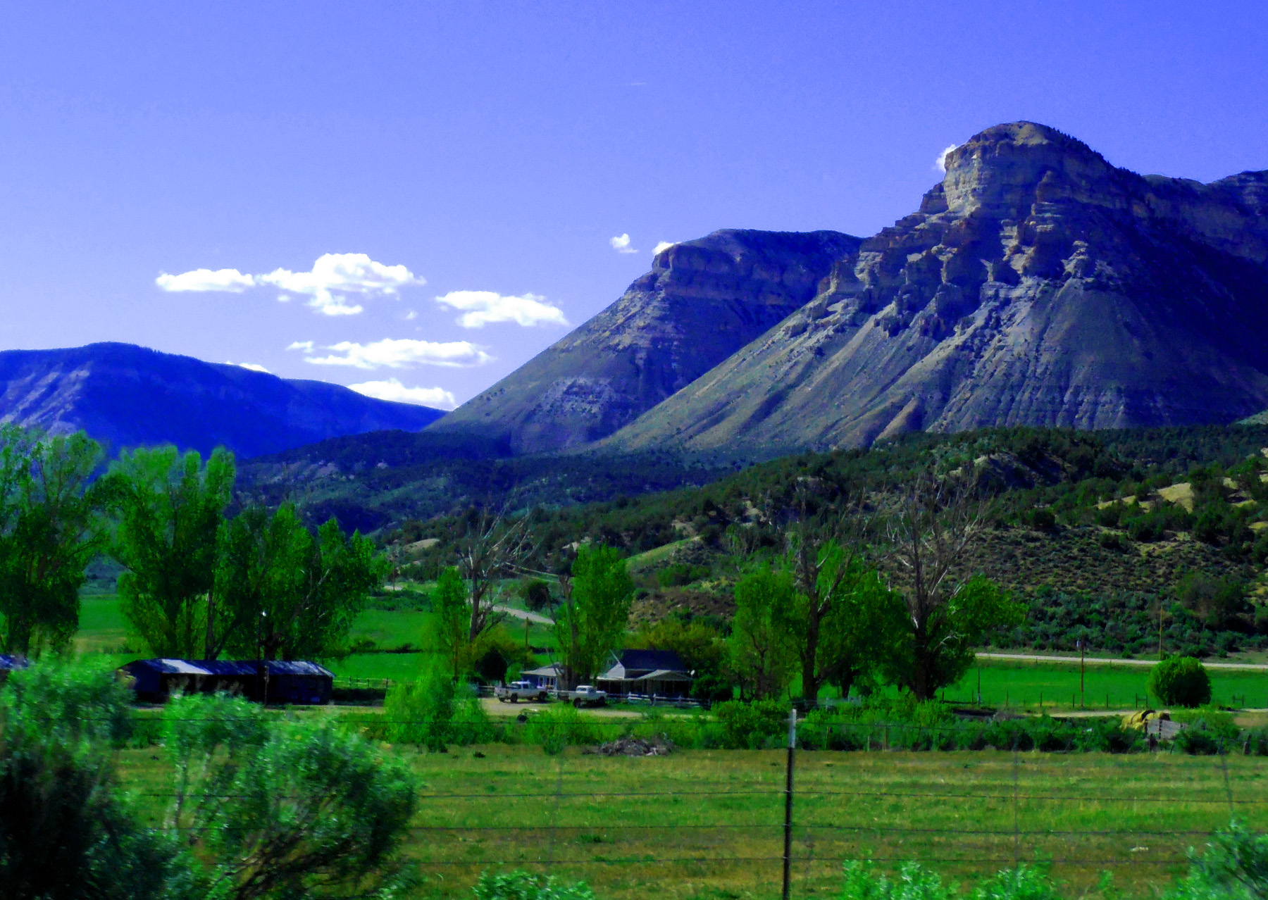
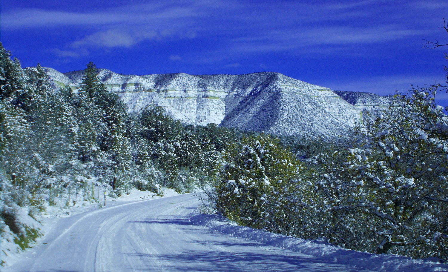
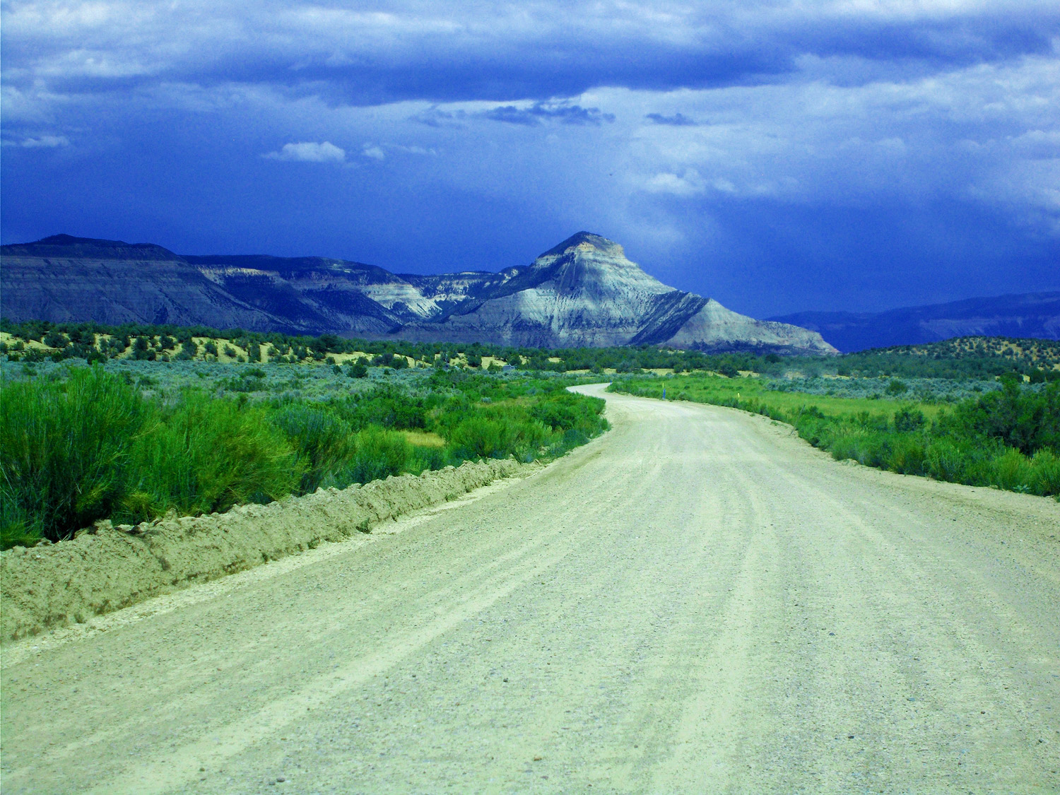
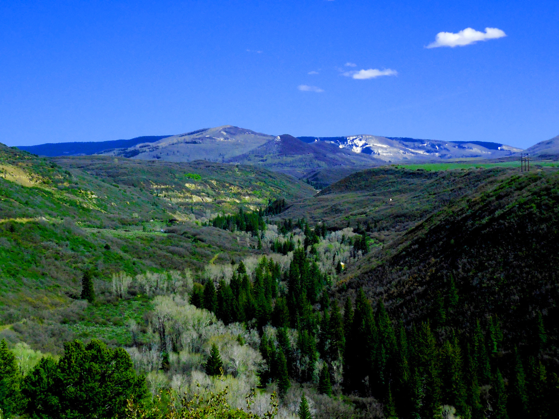
End of Plateau Creek Canyon (left turns ahead on Debque Cutoff and CO 330)
Oct 29 2017 - 2:07 pm
Oct 29 2017 - 2:07 pm
7 / 90
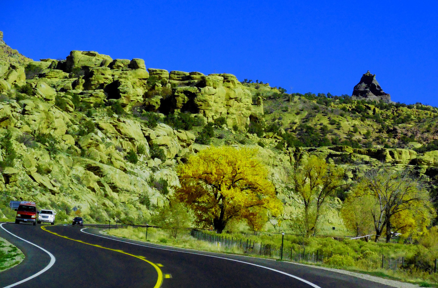
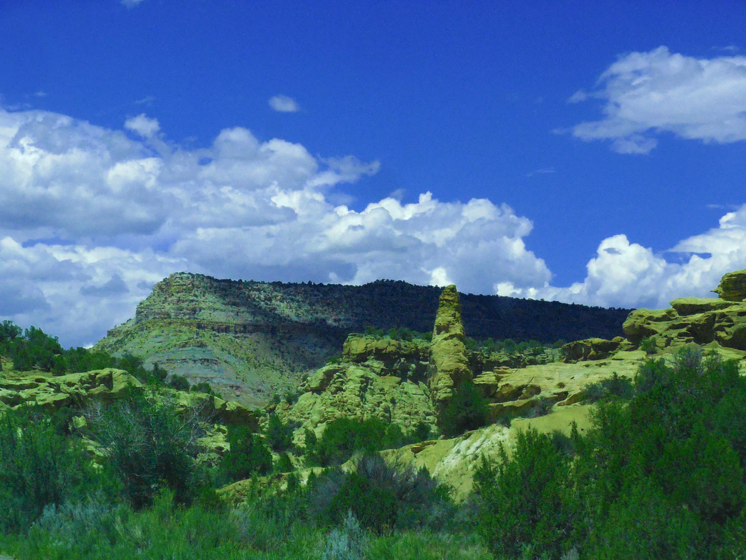
North on Debeque Cutoff
8 / 90
Wasatch Formation overlying Mesa Verde sandstones
May 29 2020 - 1:59 pm
May 29 2020 - 1:59 pm
9 / 90
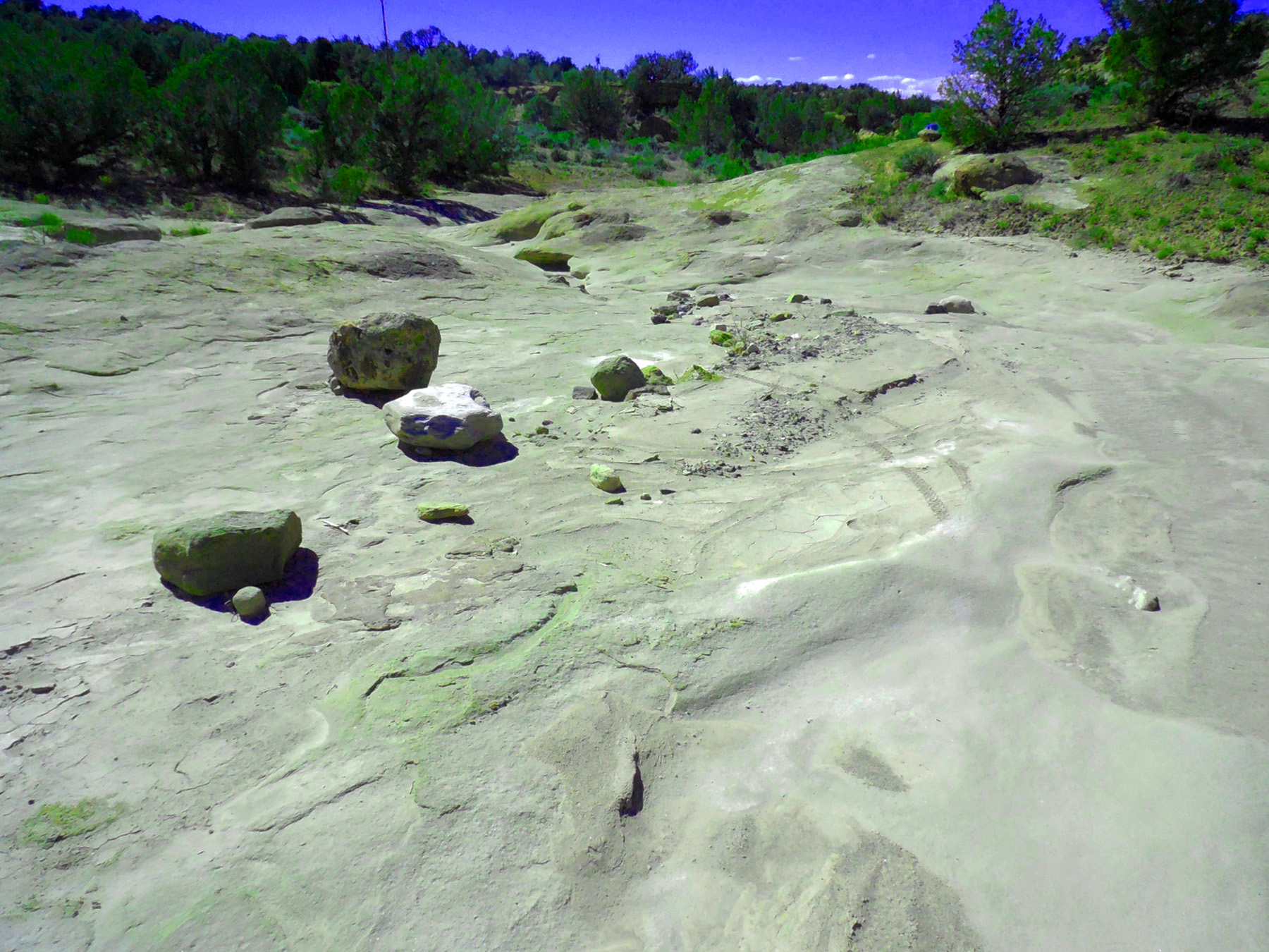
Mesa Verde surface
May 05 2017 - 4:02 pm
May 05 2017 - 4:02 pm
10 / 90
Weathered Wasatch Sandstone
May 05 2017 - 3:47 pm
May 05 2017 - 3:47 pm
11 / 90
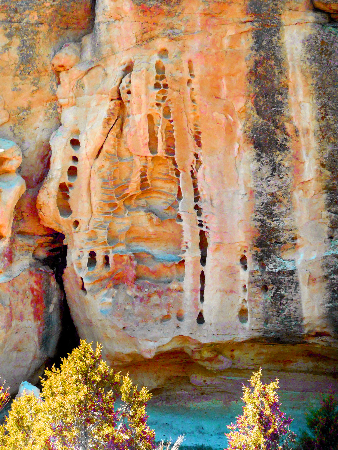
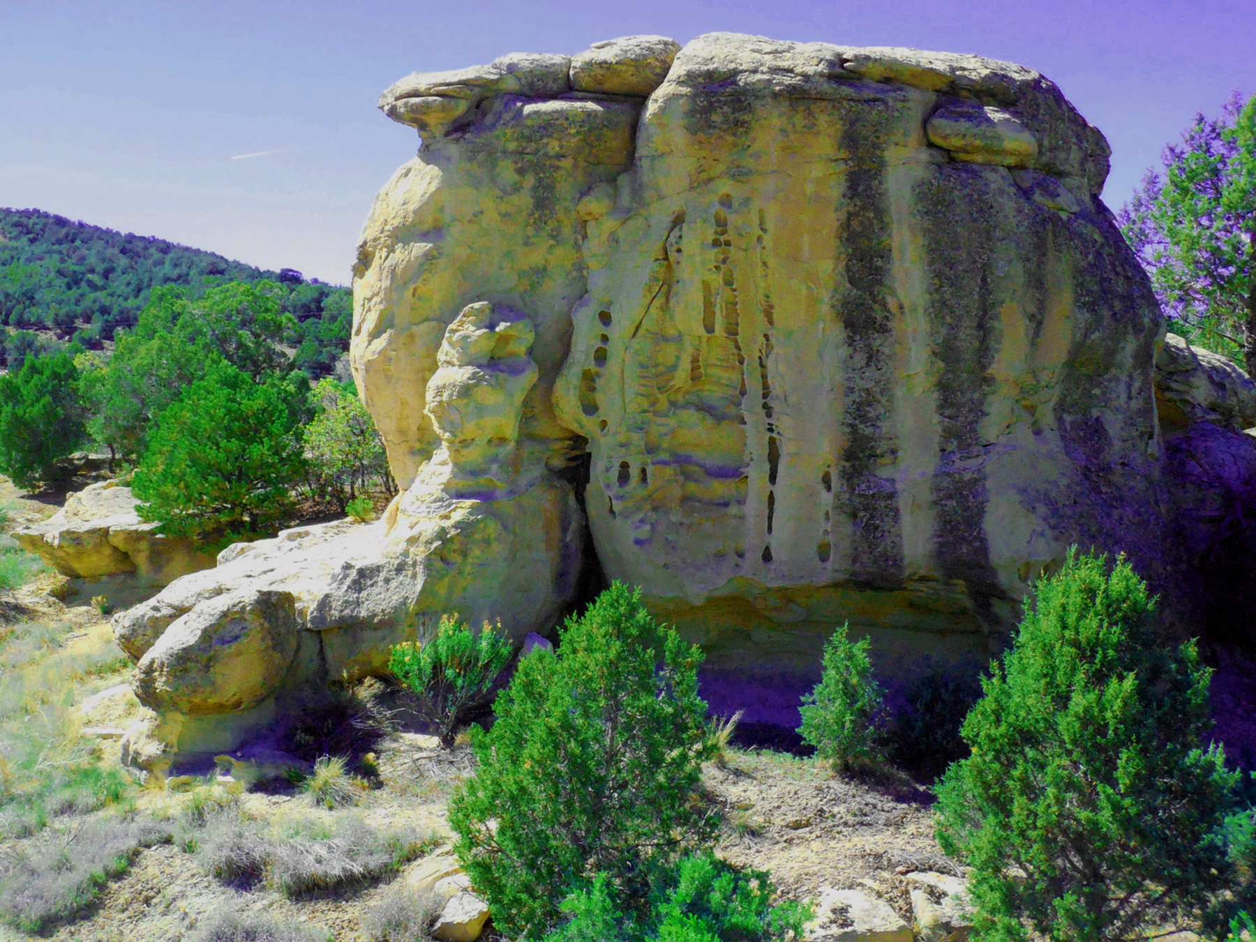
Madonna holding baby Jesus in swaddling?
May 05 2017 - 3:46 pm
May 05 2017 - 3:46 pm
12 / 90
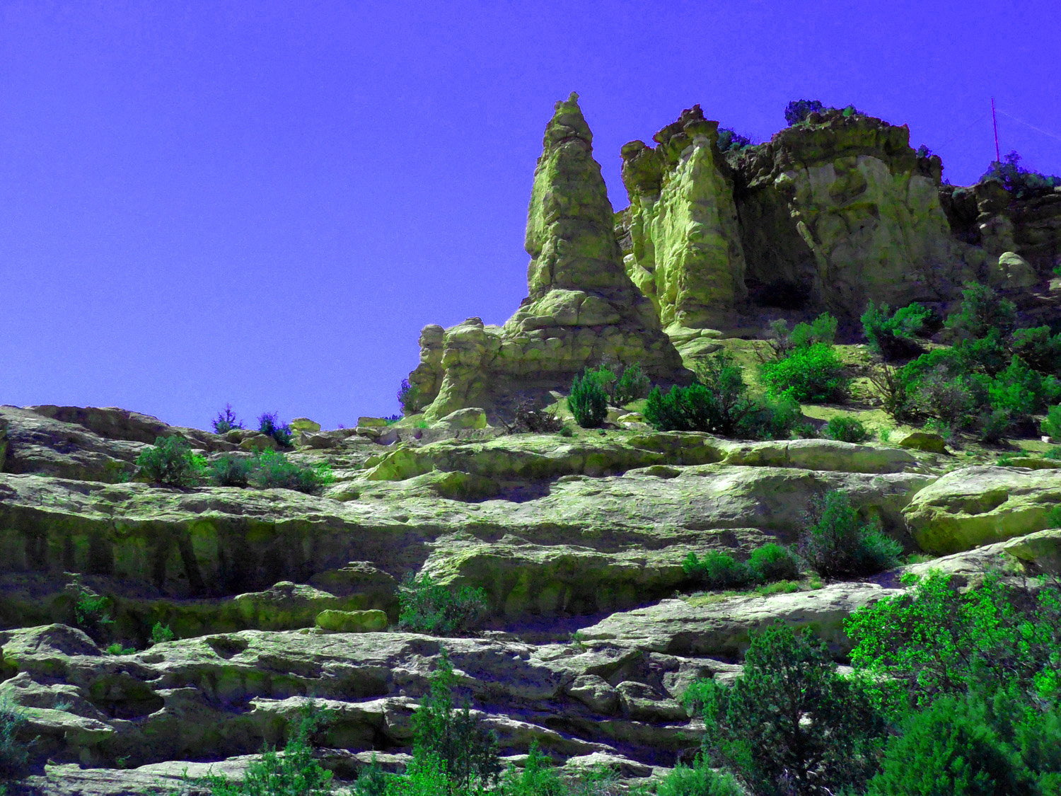
Sandstone spires and buttes in the Wasatch Formation
May 05 2017 - 3:24 pm
May 05 2017 - 3:24 pm
13 / 90
Colorful shale weathering of the Wasatch Formation
May 29 2020 - 2:17 pm
May 29 2020 - 2:17 pm
14 / 90
Beach dune cross beds in Mesa Verde sandstone
May 05 2017 - 3:29 pm
May 05 2017 - 3:29 pm
15 / 90
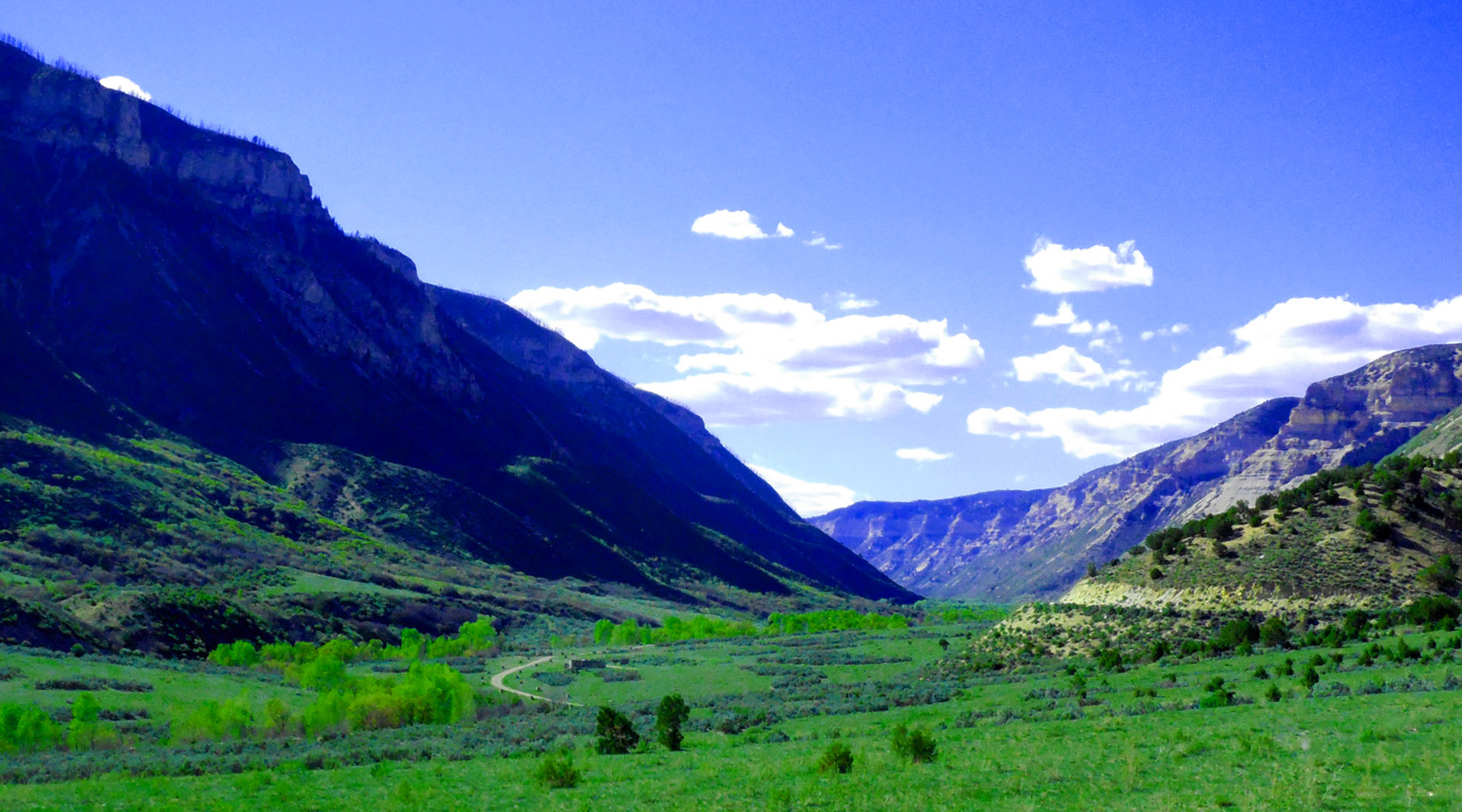
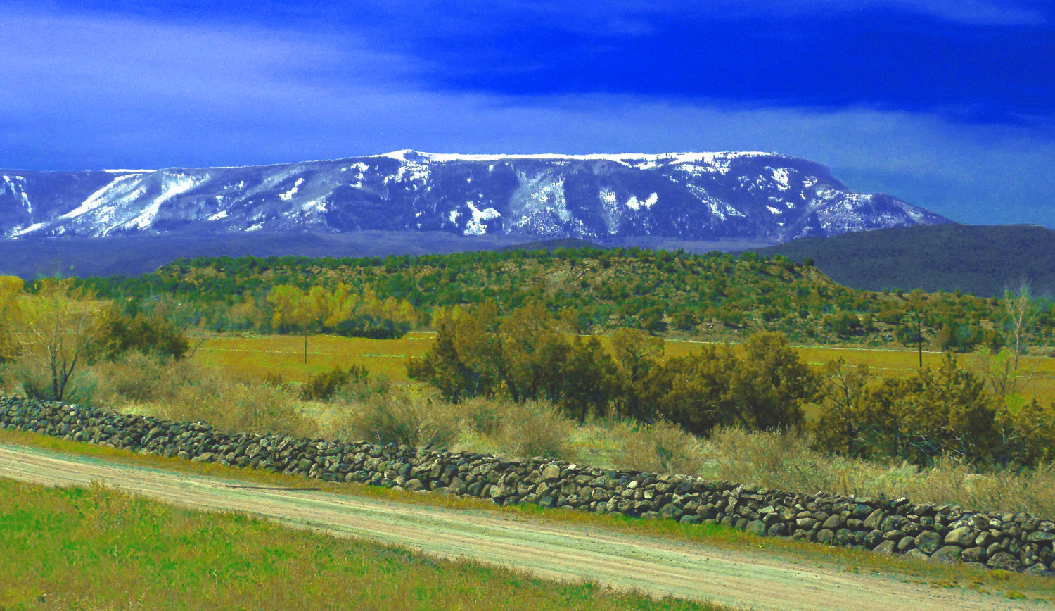
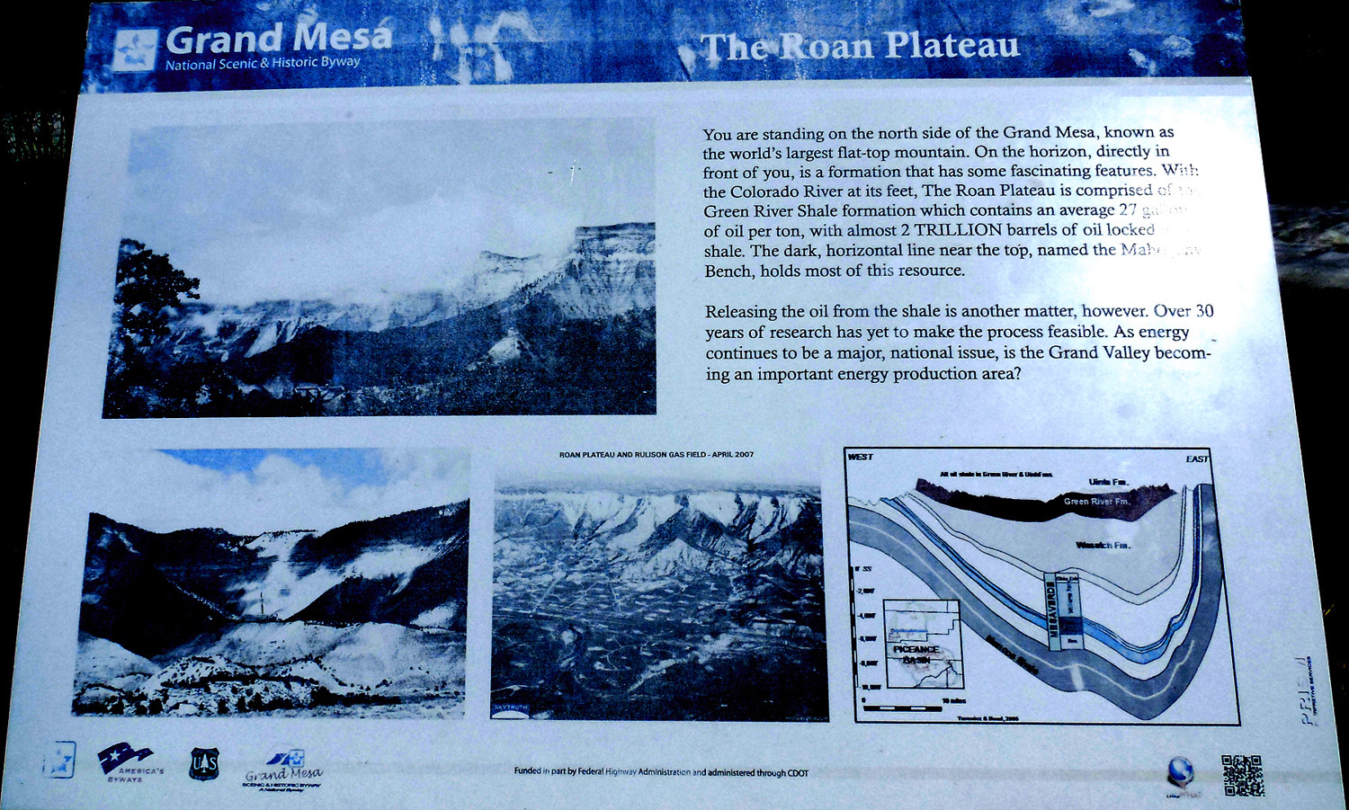
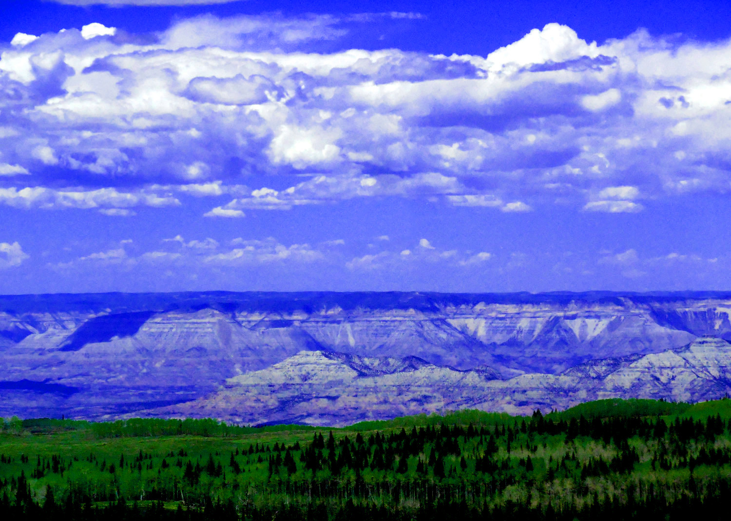
Destination ahead: Roan Plateau and Roan Creek Valley (across the Colorado River)
May 29 2020 - 2:19 pm
May 29 2020 - 2:19 pm
16 / 90
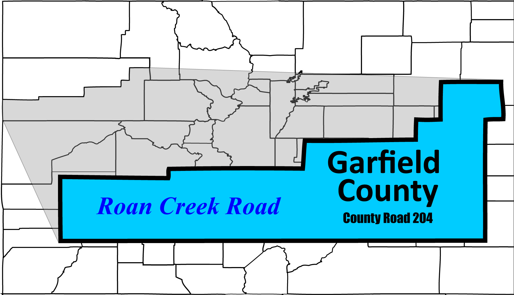
Roan Creek Valley Road (continuation of Debeque Cutoff in Garfield County)
17 / 90
Deep in the Piceance Basin (source of oil shale and other carbon sources)
May 05 2017 - 4:53 pm
May 05 2017 - 4:53 pm
18 / 90
Roan Creek to the left, Clear Creek to the right
May 05 2017 - 5:02 pm
May 05 2017 - 5:02 pm
19 / 90
Clear Creek Valley (private homes)
May 05 2017 - 5:14 pm
May 05 2017 - 5:14 pm
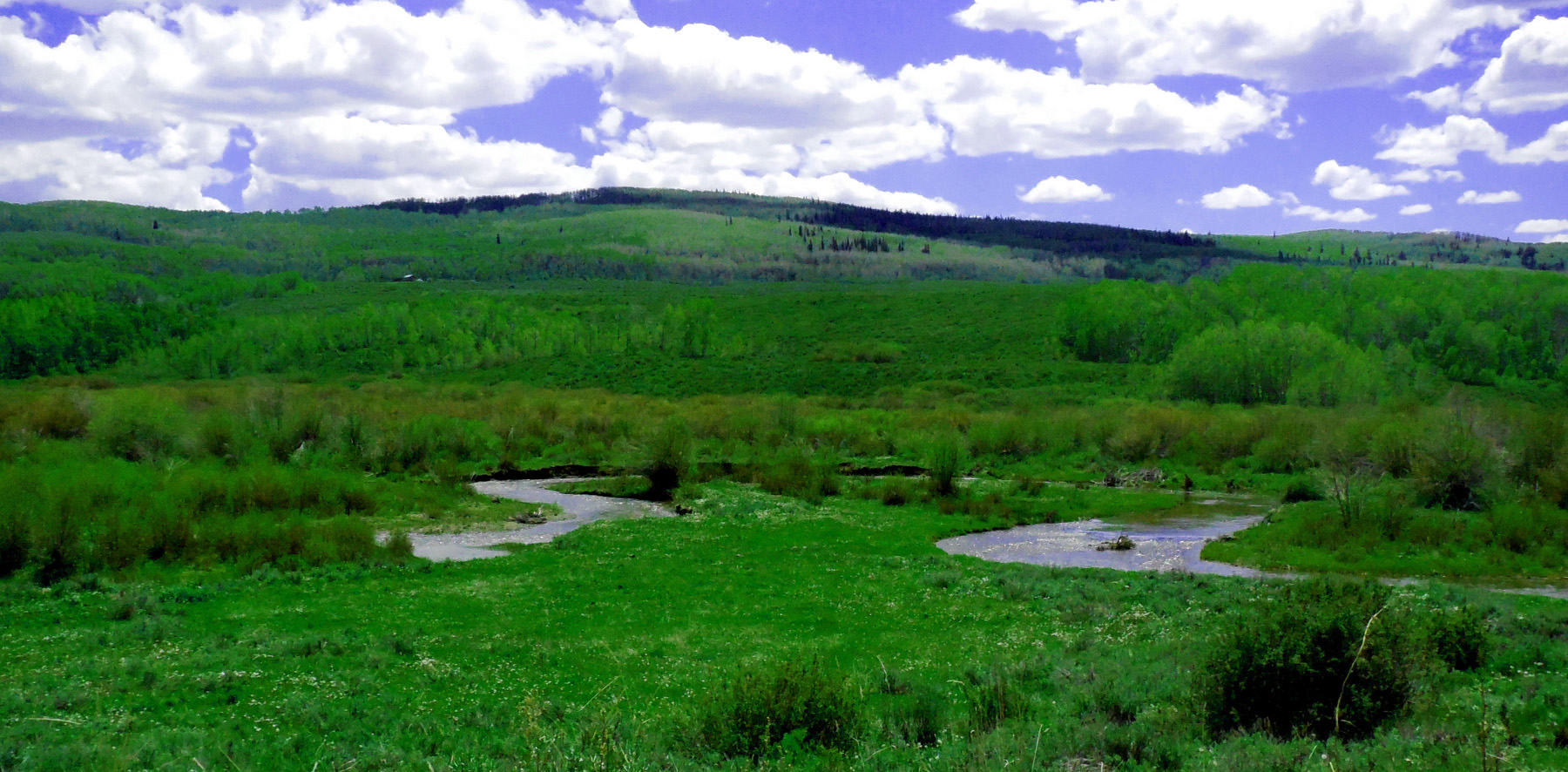
20 / 90
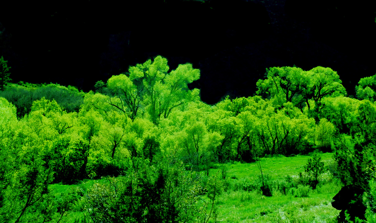
Riparian spring green
May 05 2017 - 5:22 pm
May 05 2017 - 5:22 pm
21 / 90
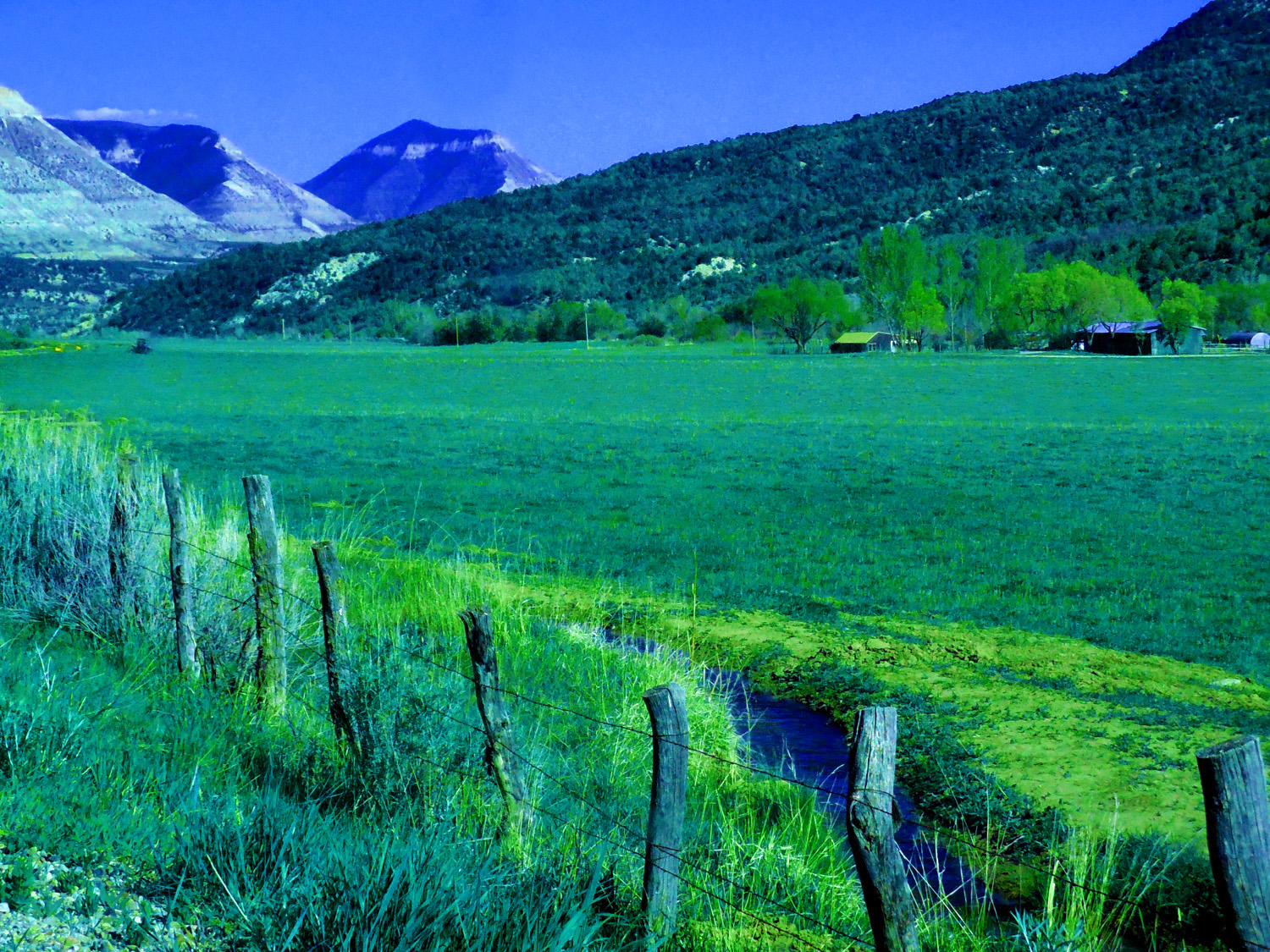
Life blood of the west (irrigation ditches)
May 05 2017 - 5:41 pm
May 05 2017 - 5:41 pm
22 / 90
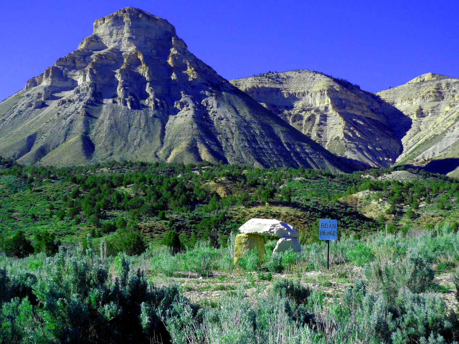
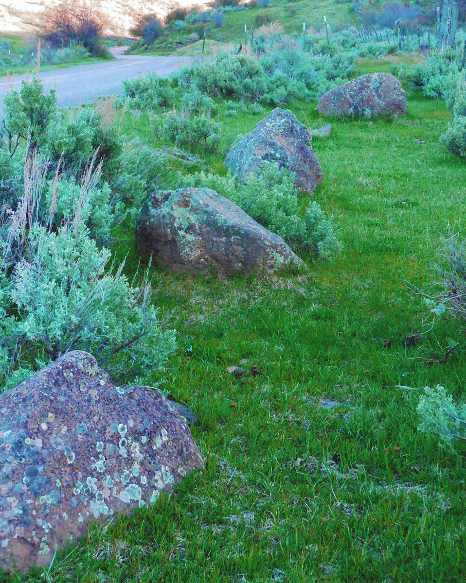
Roan Henge
May 05 2017 - 5:45 pm
May 05 2017 - 5:45 pm
23 / 90
Roan Creek Valley in January
Jan 12 2018 - 12:34 pm
Jan 12 2018 - 12:34 pm
24 / 90
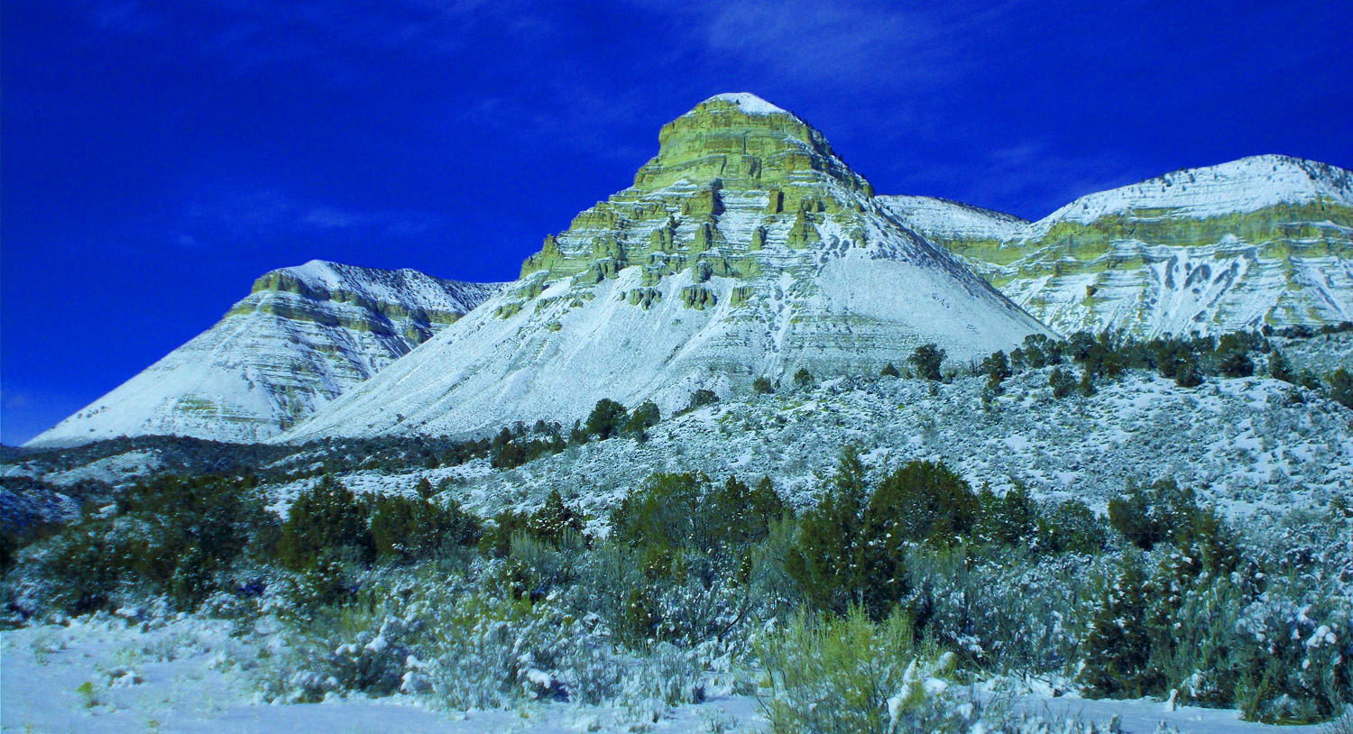
Roan Henge Mountain
Jan 12 2018 - 12:47 pm
Jan 12 2018 - 12:47 pm
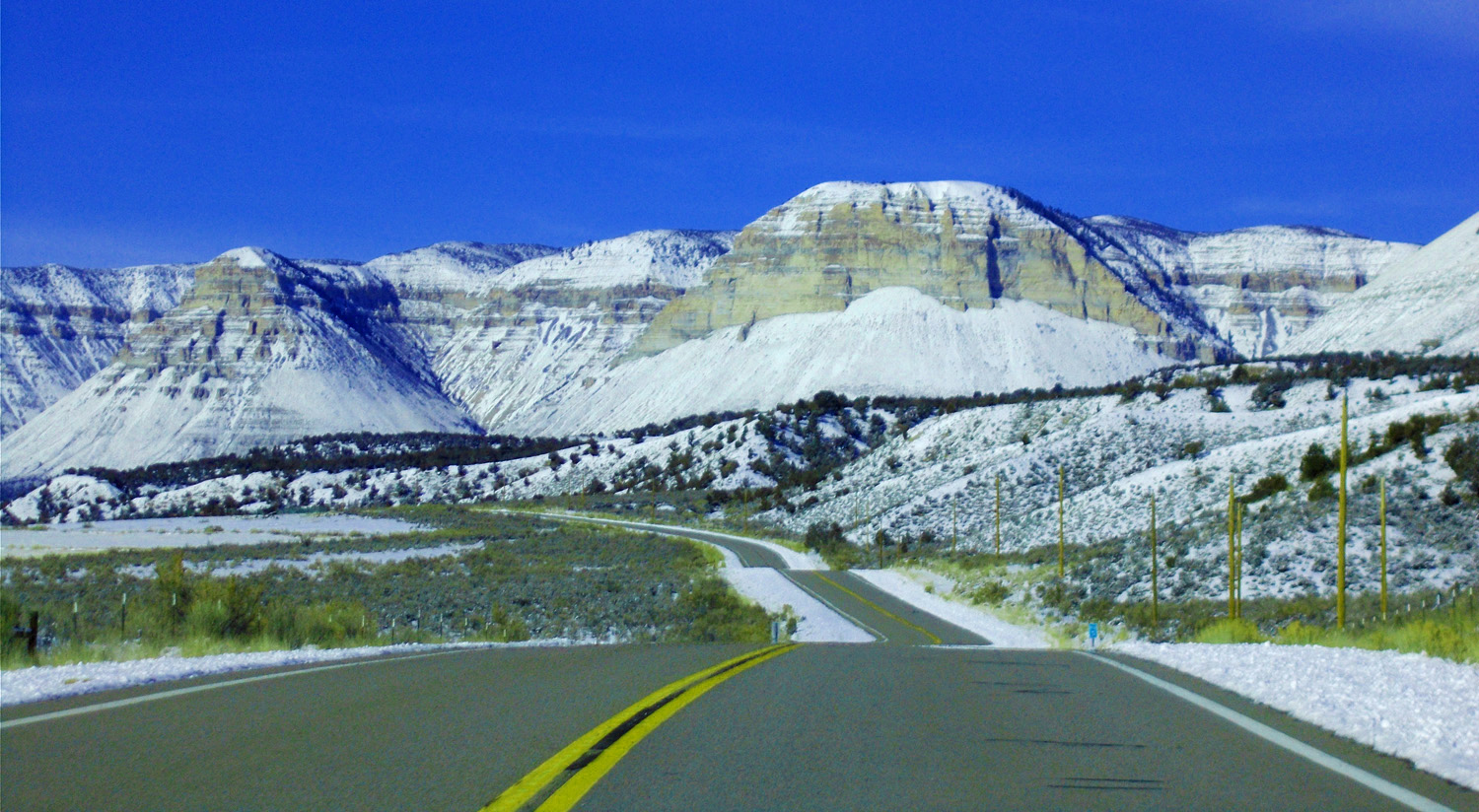
25 / 90
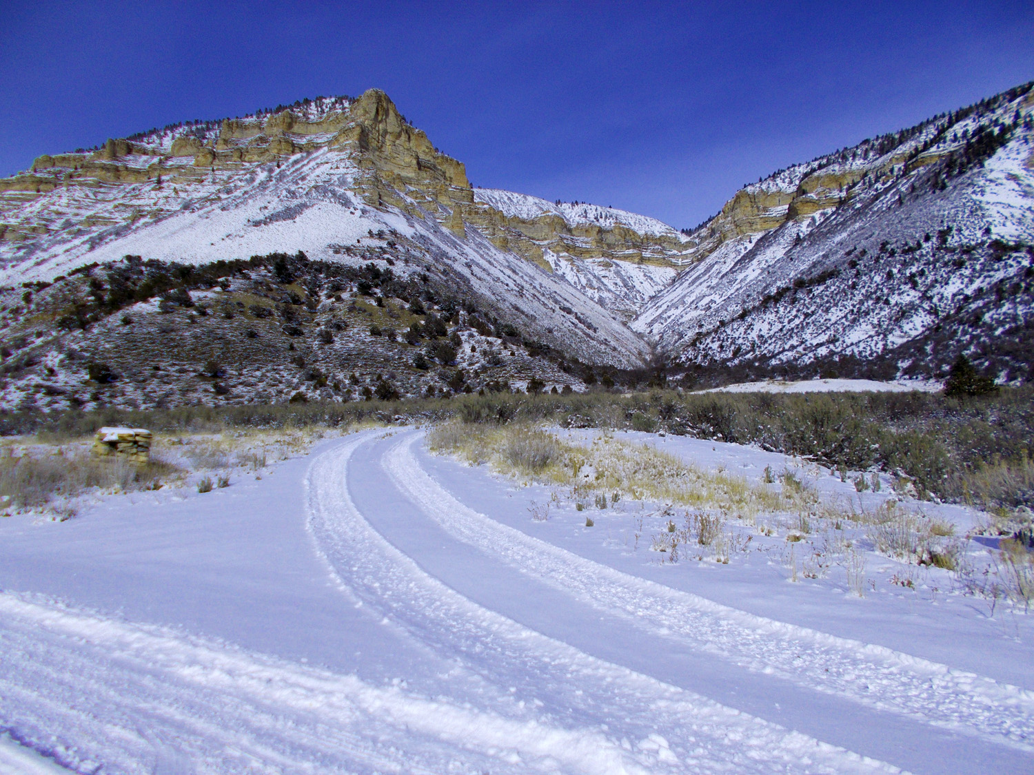
Plowed road
Jan 12 2018 - 2:10 pm
Jan 12 2018 - 2:10 pm
26 / 90
Turnaround point
Jan 12 2018 - 1:07 pm
Jan 12 2018 - 1:07 pm
27 / 90
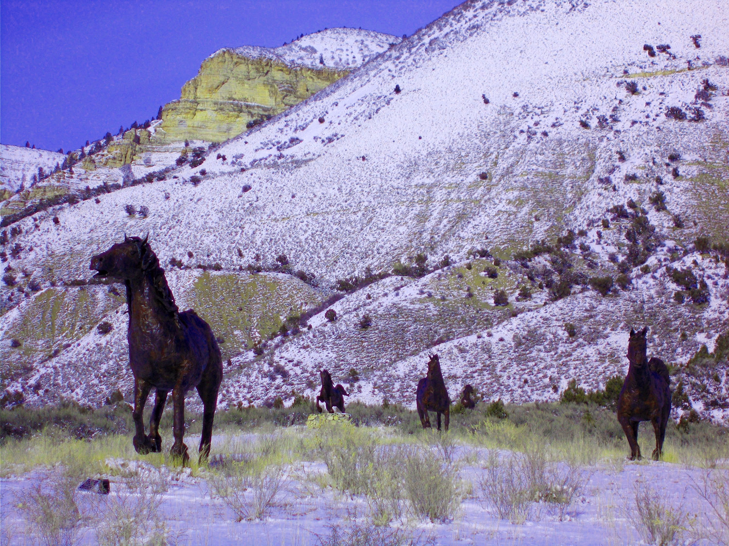
Herd of wild horses (bronze statues)
Jan 12 2018 - 2:06 pm
Jan 12 2018 - 2:06 pm
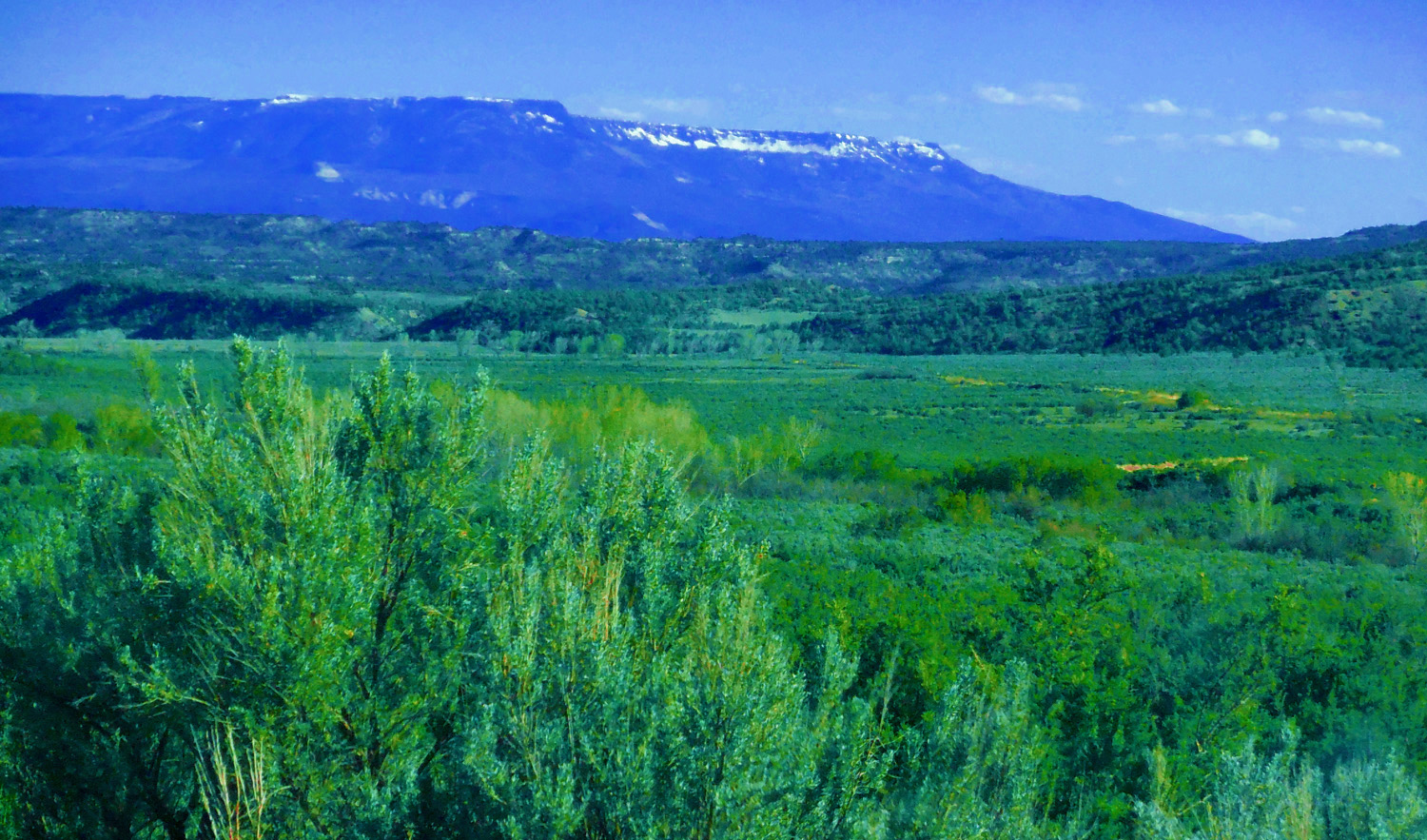
28 / 90
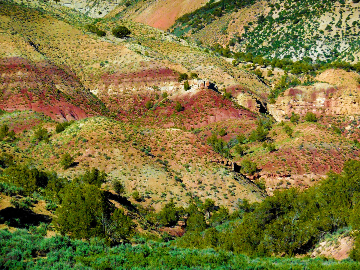
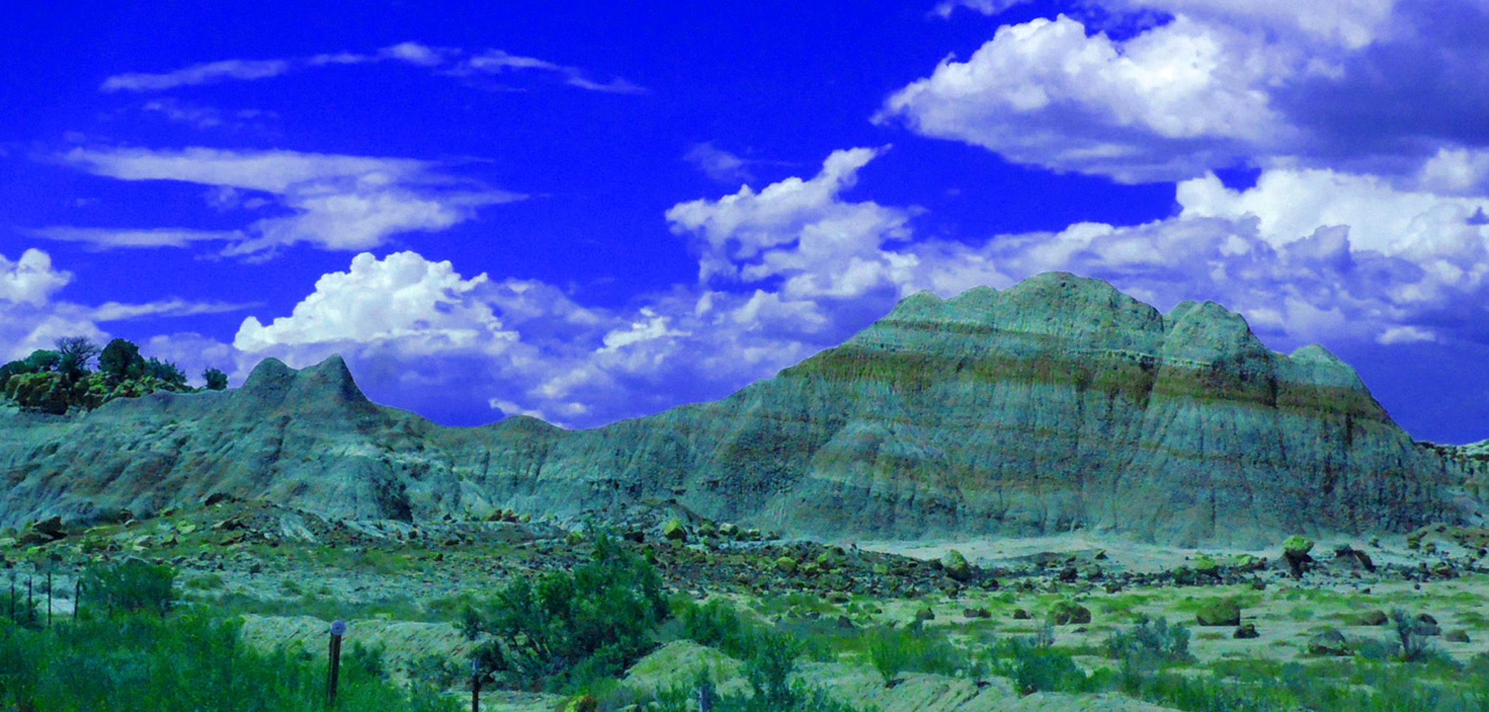
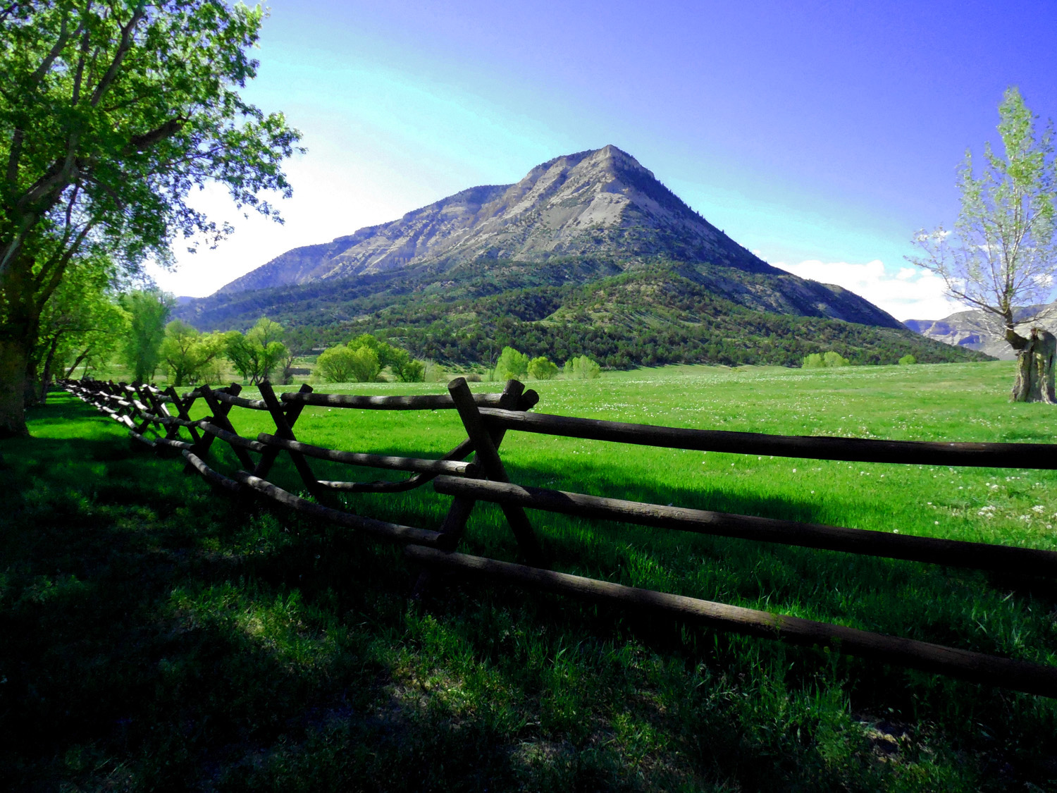
Colorful Wasatch Formation (same age rocks in Bryce Canyon)
May 05 2017 - 5:53 pm
May 05 2017 - 5:53 pm
29 / 90
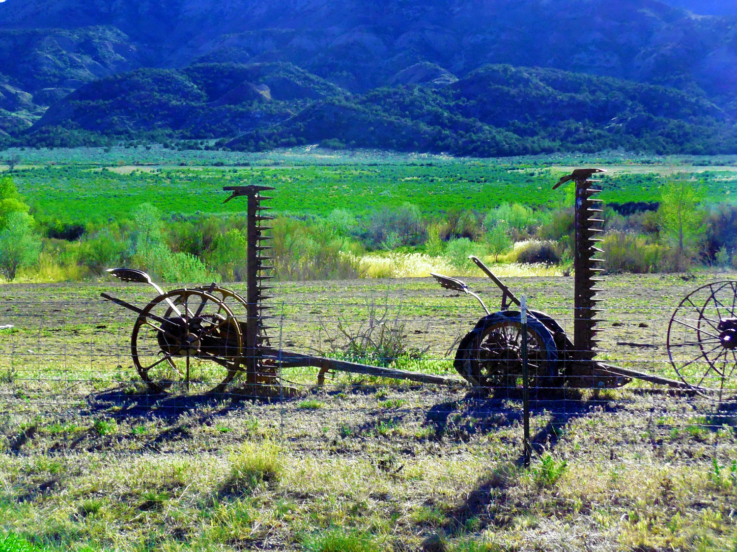
Cutter (one of many antique farm implements displayed along the road for 200 yards)
May 05 2017 - 6:06 pm
May 05 2017 - 6:06 pm
30 / 90
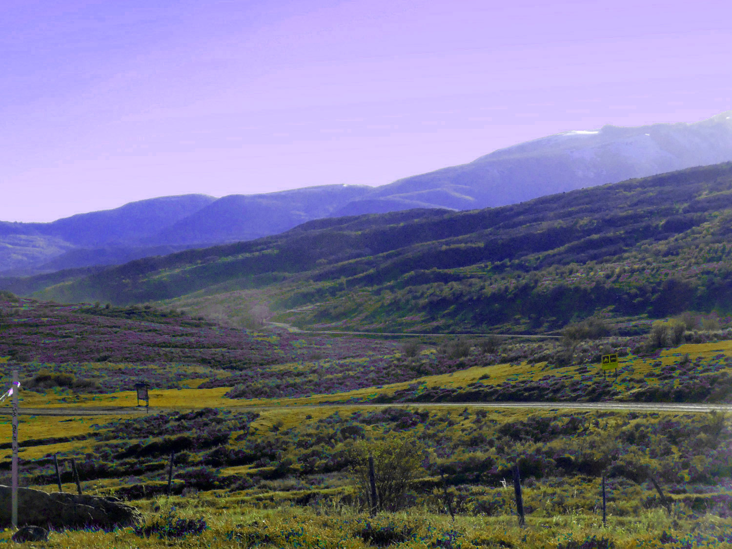
Short trip up Dry Creek Road for a view of Mt. Logan (8,413')
Jun 30 2019 - 3:21 pm
Jun 30 2019 - 3:21 pm
31 / 90
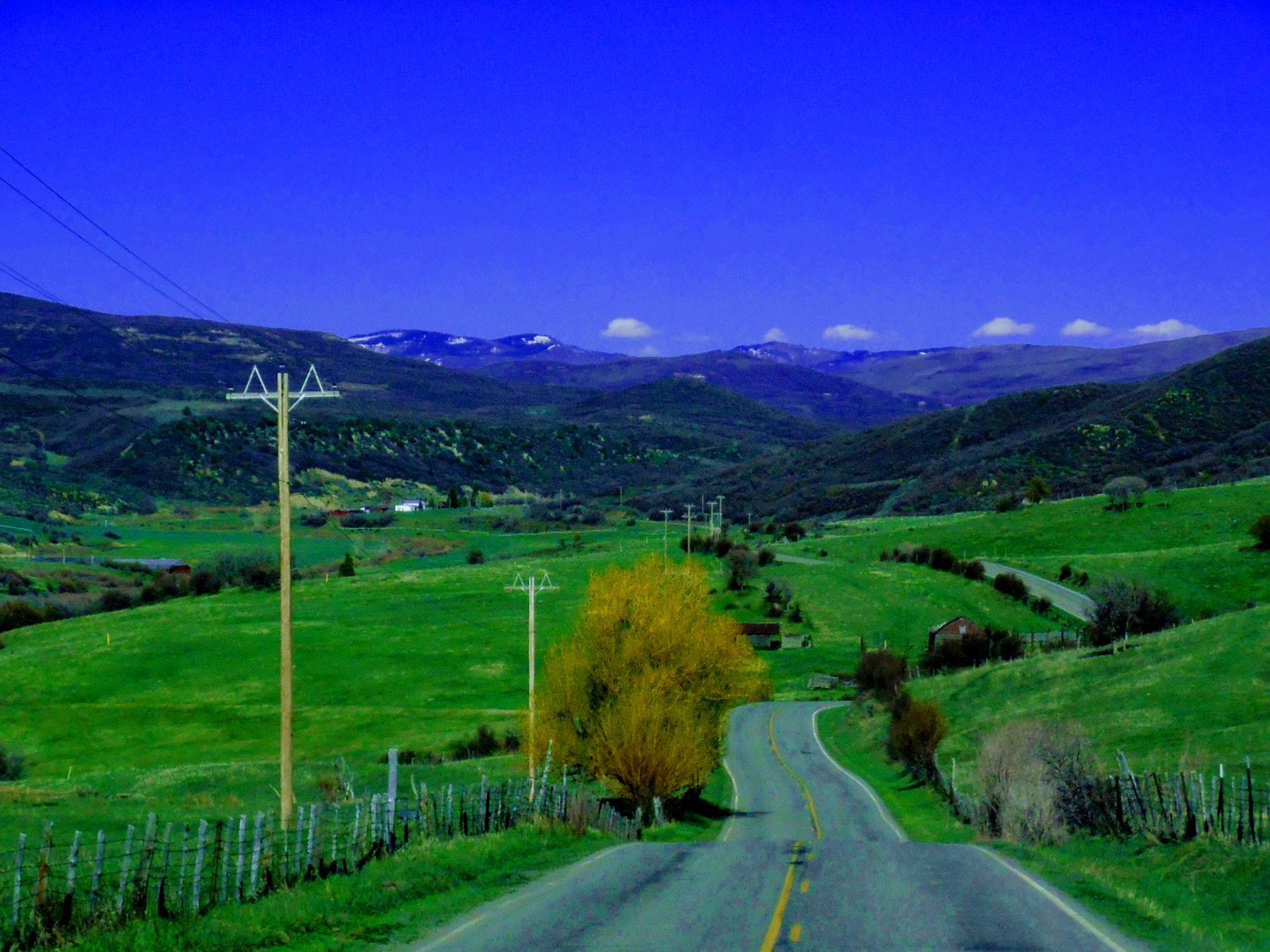
West on CO 330 (at the same intersection as Debeque Cutoff)
32 / 90
Plateau Creek Valley toward Collbran
May 04 2017 - 4:46 pm
May 04 2017 - 4:46 pm
33 / 90
Plateau Creek leading up to Battlement Mesa (glacial outwash terraces form flats on both sides of the creek)
May 04 2017 - 4:41 pm
May 04 2017 - 4:41 pm
34 / 90
Grand Mesa from the Peninsula above Collbran
Apr 13 2017 - 11:41 am
Apr 13 2017 - 11:41 am
35 / 90
Elk Mountain (12,061' highest point on Battlement Mesa)
May 04 2017 - 6:57 pm
May 04 2017 - 6:57 pm
36 / 90
Mud Hill Till at Mud Hill Pass (volcanic boulders with no uphill source)
May 04 2017 - 7:24 pm
May 04 2017 - 7:24 pm
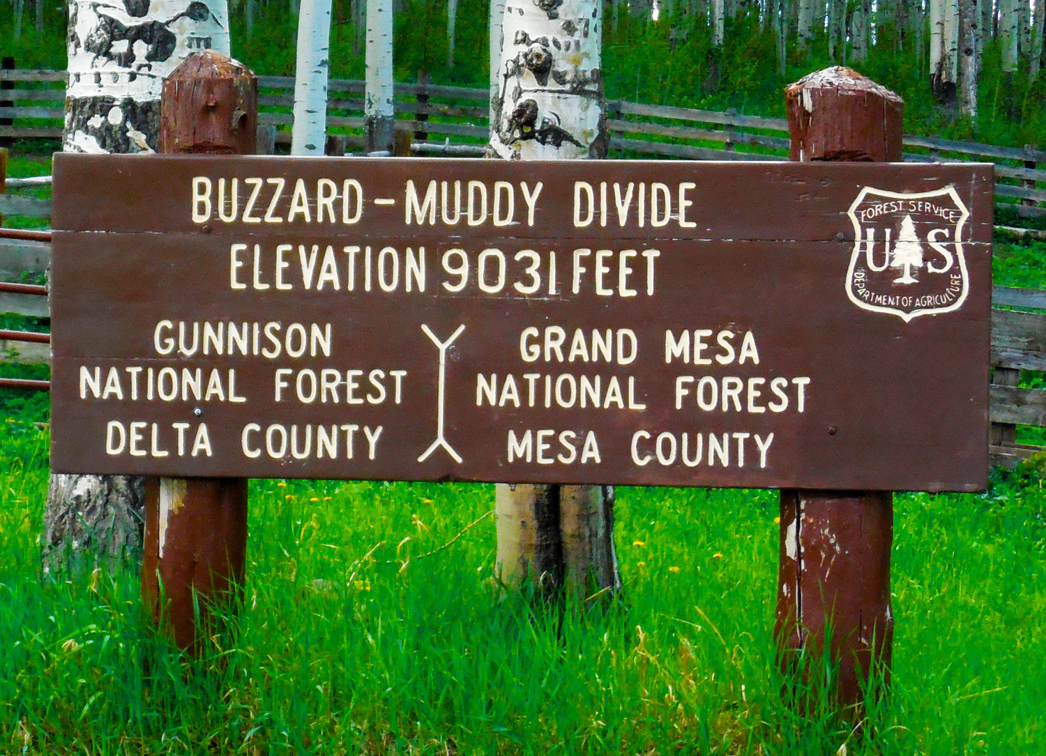
37 / 90
South on Buzzard Divide Road (back 3 miles west of the pass)
38 / 90
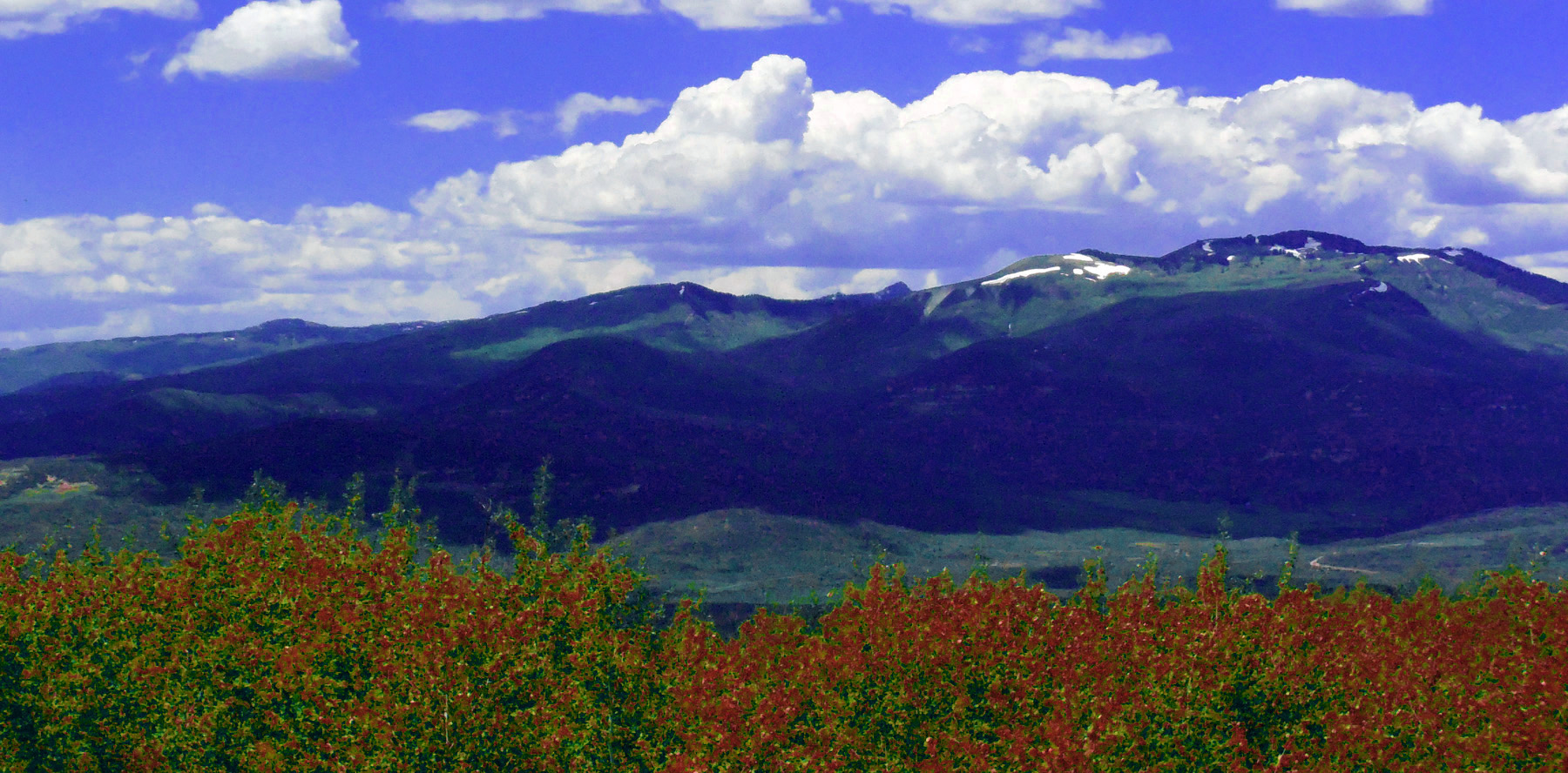
Elk Mountain and Battlement Mesa
Jun 04 2017 - 1:54 pm
Jun 04 2017 - 1:54 pm
39 / 90
Grand Mesa from Buzzard Creek Valley
May 05 2017 - 5:56 pm
May 05 2017 - 5:56 pm
40 / 90
Buzzard Creek
Jun 04 2017 - 2:22 pm
Jun 04 2017 - 2:22 pm
41 / 90
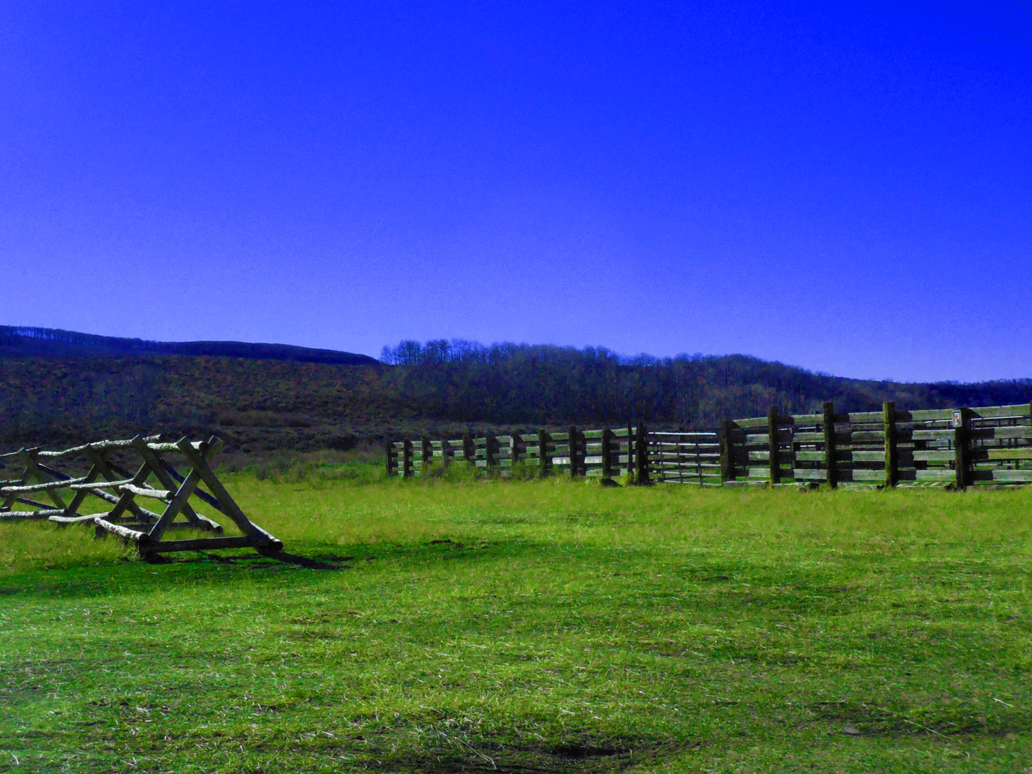
High country ranch
Oct 29 2017 - 3:56 pm
Oct 29 2017 - 3:56 pm
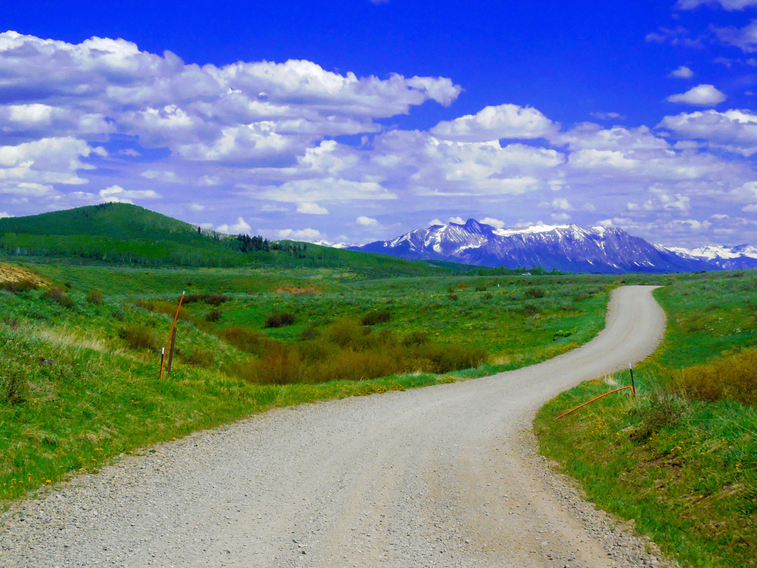
42 / 90
Colorado River - Gunnison River divide
Jun 04 2017 - 3:11 pm
Jun 04 2017 - 3:11 pm
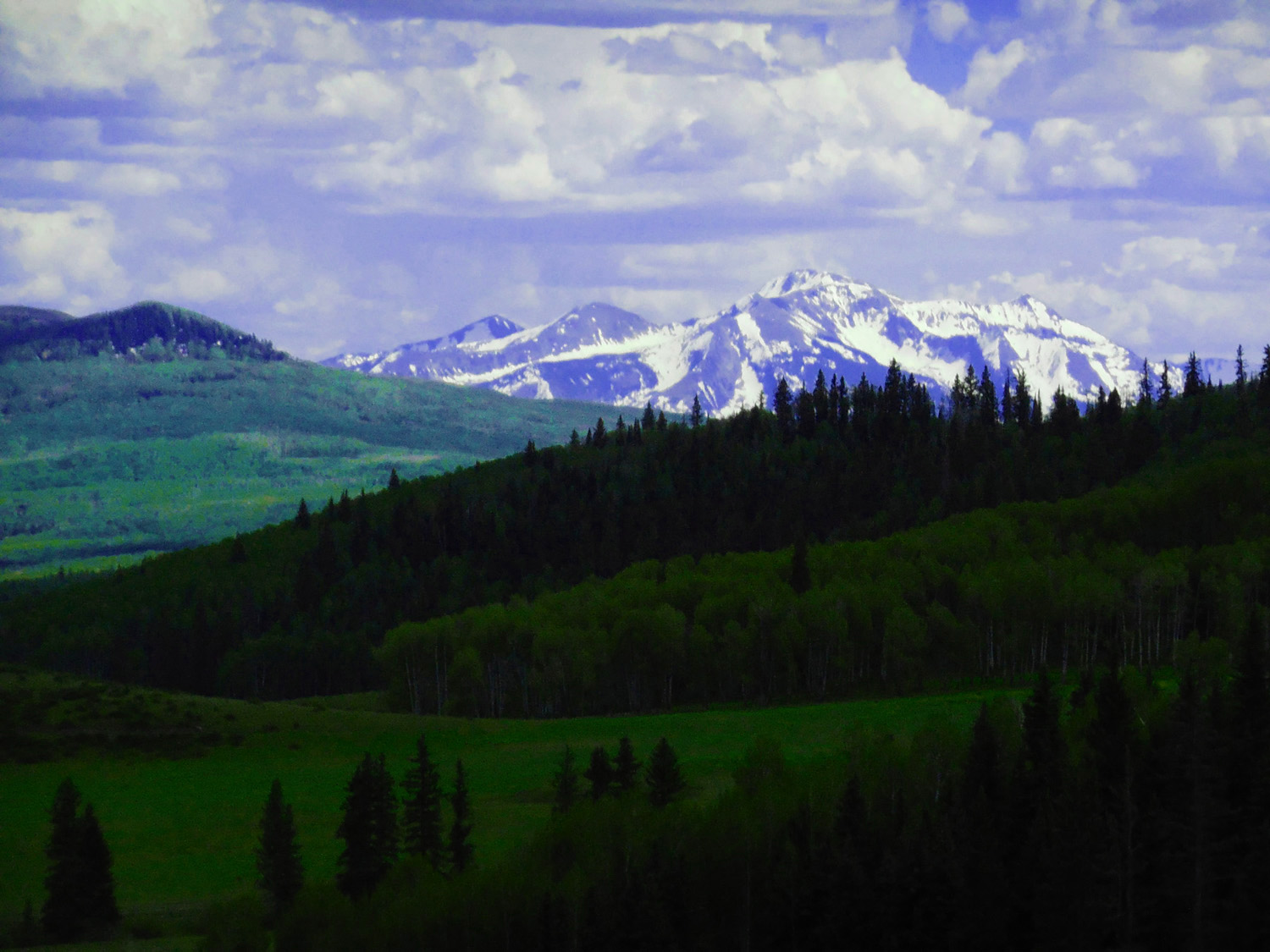
43 / 90
Different scenery beyond the pass
Jun 04 2017 - 3:20 pm
Jun 04 2017 - 3:20 pm
44 / 90
The West Elk Mountains
Jun 04 2017 - 3:46 pm
Jun 04 2017 - 3:46 pm
45 / 90
Chair Mountain (12,721')
Jun 04 2017 - 4:16 pm
Jun 04 2017 - 4:16 pm
46 / 90
Muddy Creek
Oct 29 2017 - 3:42 pm
Oct 29 2017 - 3:42 pm
47 / 90
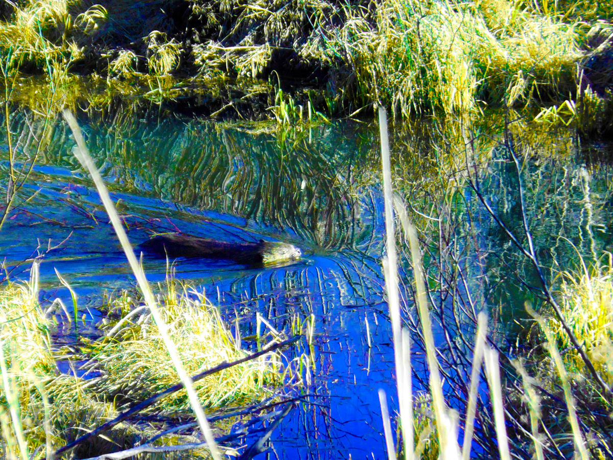
Beaver
Oct 29 2017 - 4:59 pm
Oct 29 2017 - 4:59 pm
48 / 90
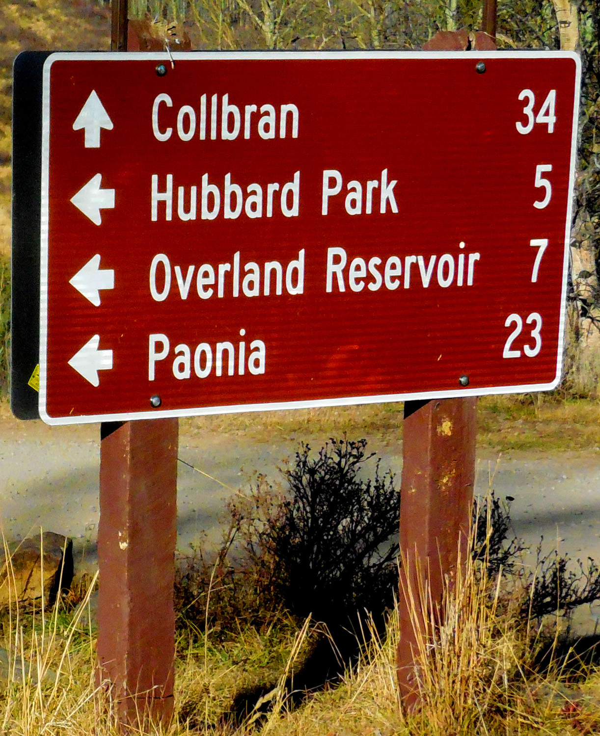
Road sign in the middle of nowhere
Oct 29 2017 - 4:42 pm
Oct 29 2017 - 4:42 pm
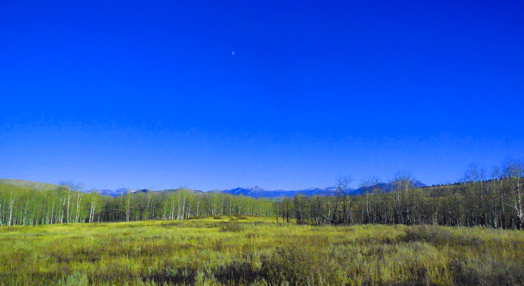
49 / 90
Stevens Gulch Road to Paonia
50 / 90
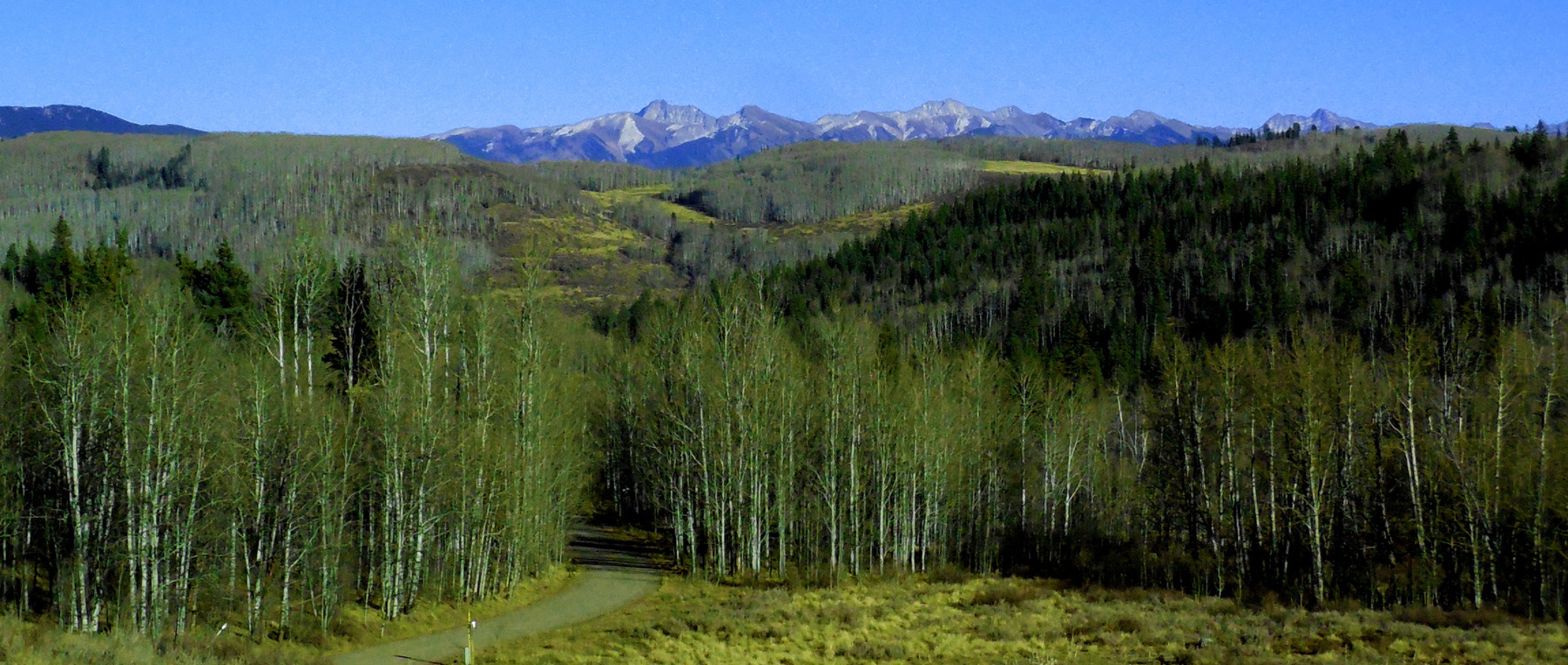
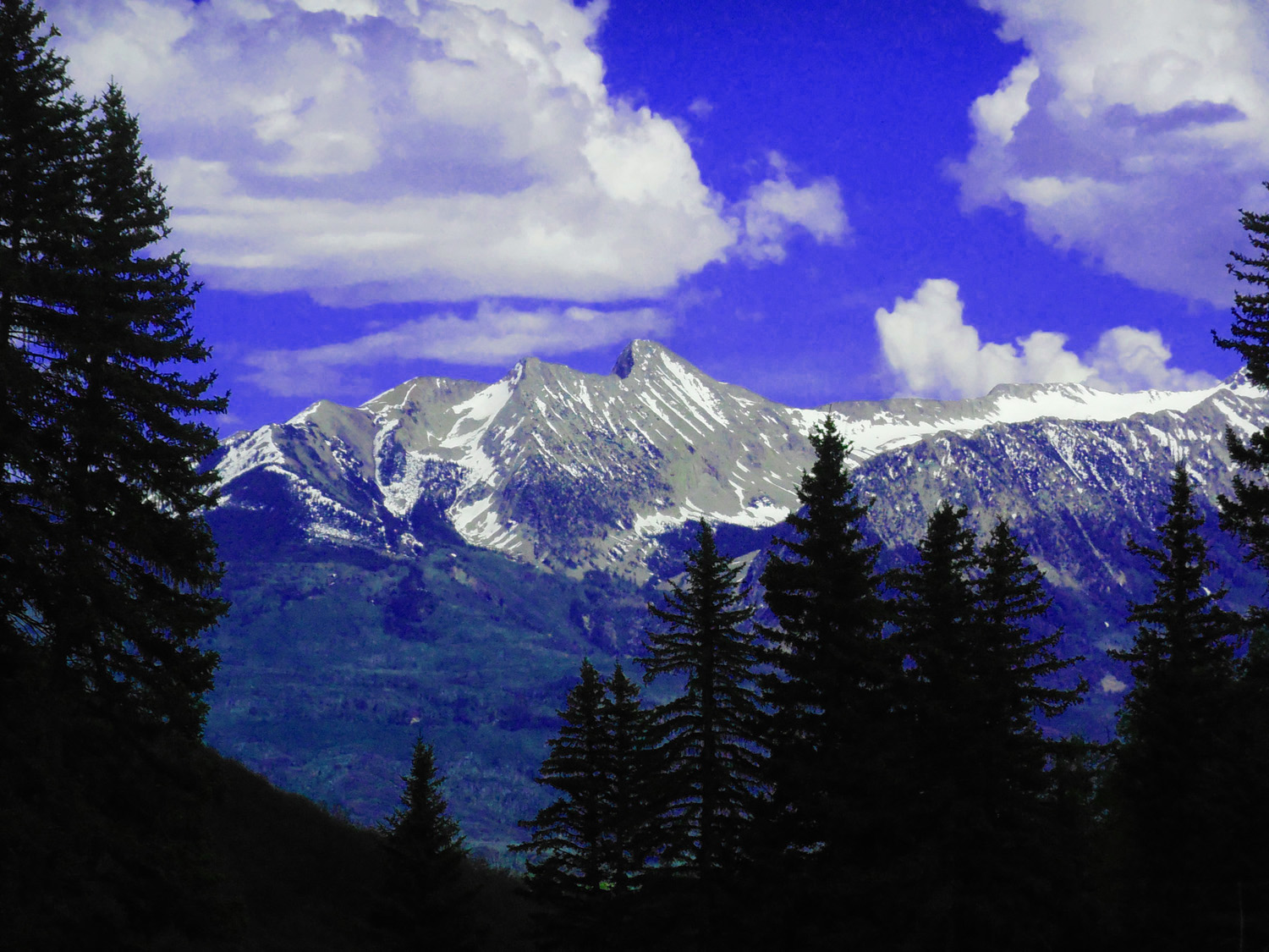
Elk Mountains (l-r): Capitol Pk (14,130'), Snowmass Mtn (14,017'), Maroon Pks (14,156', 14,014')
Oct 29 2017 - 4:45 pm
Oct 29 2017 - 4:45 pm
51 / 90
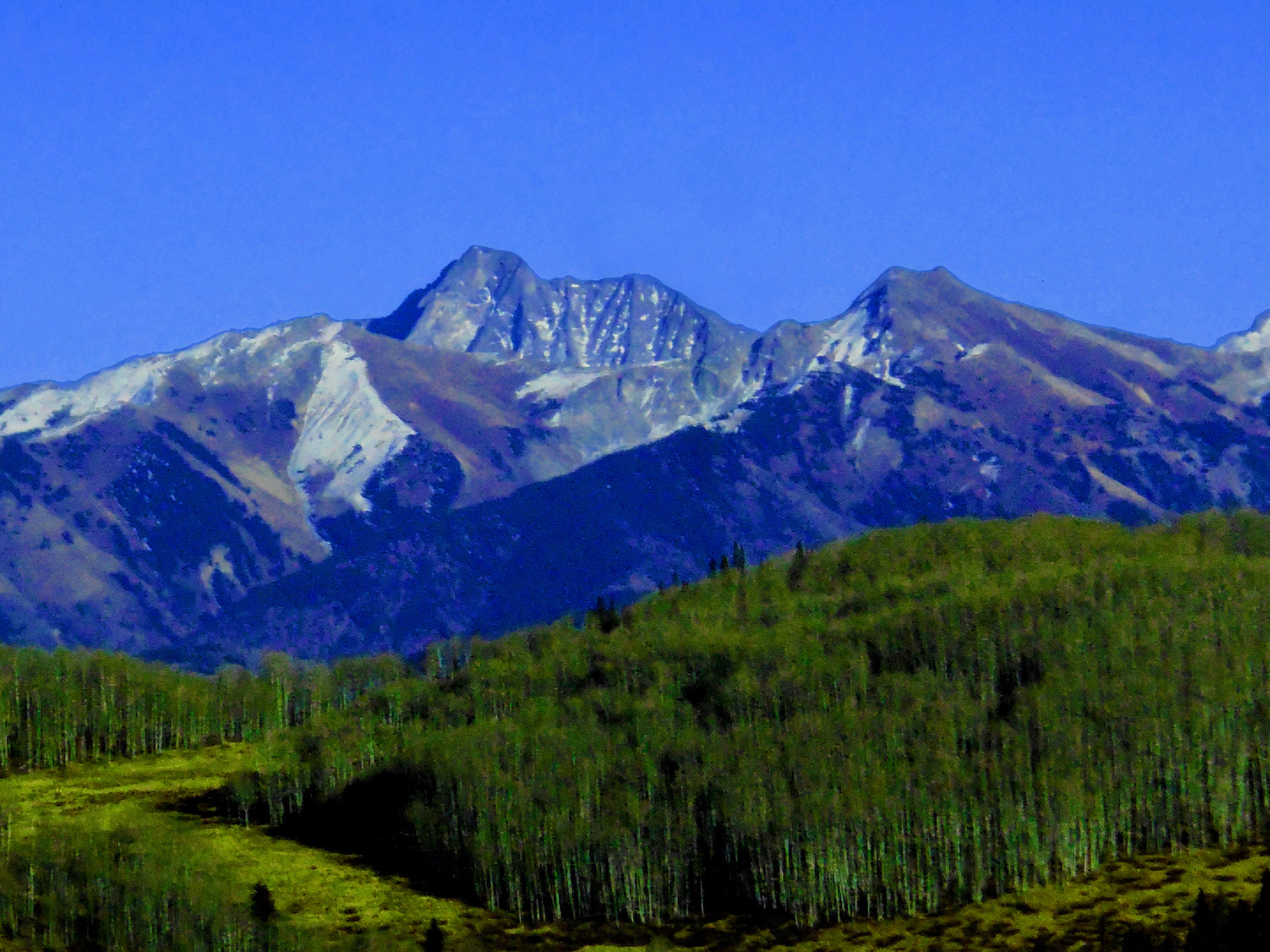
Close up of Capitol Peak (14,130')
Oct 29 2017 - 4:50 pm
Oct 29 2017 - 4:50 pm
52 / 90
Half moon rising over Marcellina Mountain (11,348') and the West Elk Mountains
Oct 29 2017 - 5:23 pm
Oct 29 2017 - 5:23 pm
53 / 90
Chair Mountain (12,721') and the Raggeds topped by Raggeds Peak (12,641')
Oct 29 2017 - 4:23 pm
Oct 29 2017 - 4:23 pm
54 / 90
Mt. Gunnison (12,719' left) and Mt. Lamborn (11,396' right) (south West Elk Mountains)
Jun 04 2017 - 5:46 pm
Jun 04 2017 - 5:46 pm
55 / 90
Mt. Lamborn at dusk
Oct 29 2017 - 5:49 pm
Oct 29 2017 - 5:49 pm
56 / 90
Back to CO 65
Oct 08 2017 - 2:52 pm
Oct 08 2017 - 2:52 pm
57 / 90
Headed up Grand Mesa (next several photos taken in early October)
Oct 08 2017 - 3:06 pm
Oct 08 2017 - 3:06 pm
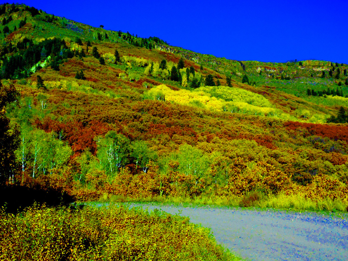
58 / 90
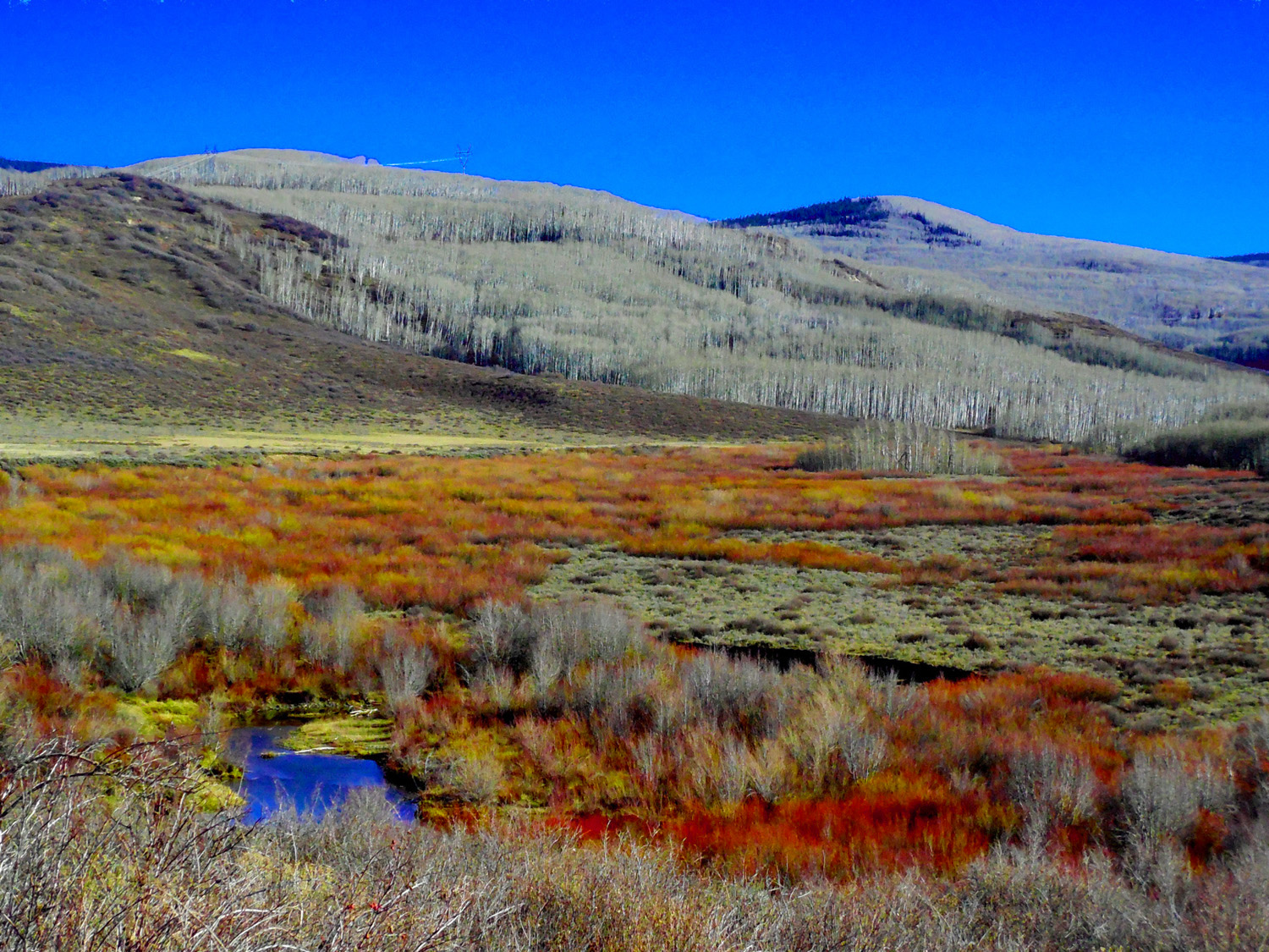
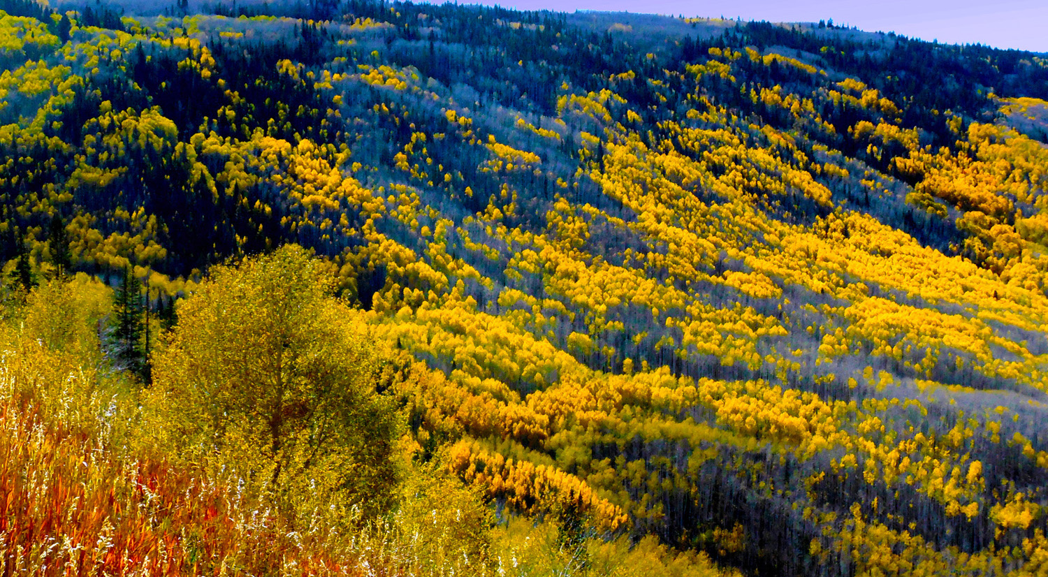
Golden aspen and red oaks turning above ~8000' (green still below)
Oct 08 2017 - 3:13 pm
Oct 08 2017 - 3:13 pm
59 / 90
CO 65 winding through aspen-oak forest
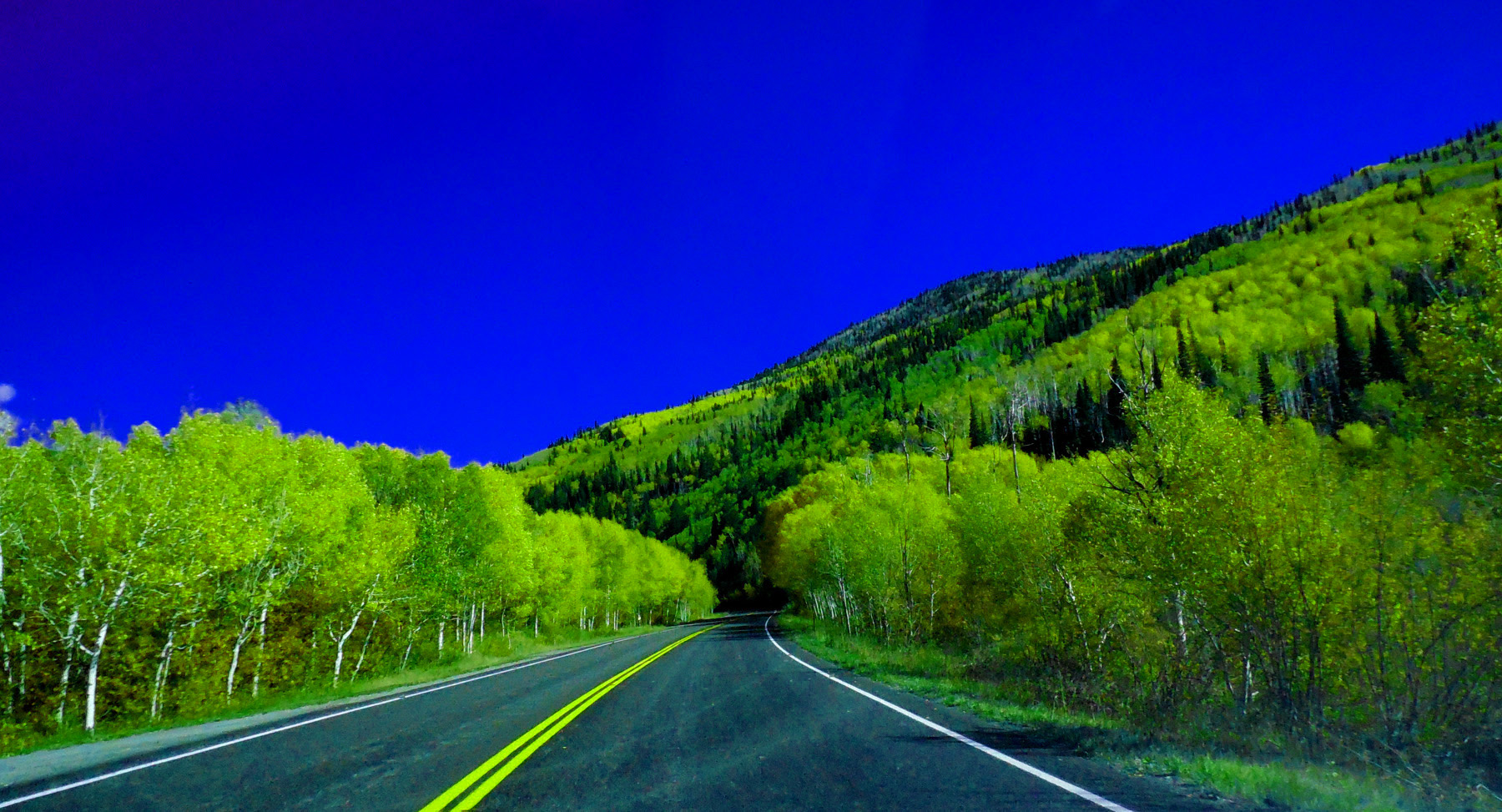
Oct 08 2017 - 3:16 pm
Oct 08 2017 - 3:16 pm
60 / 90
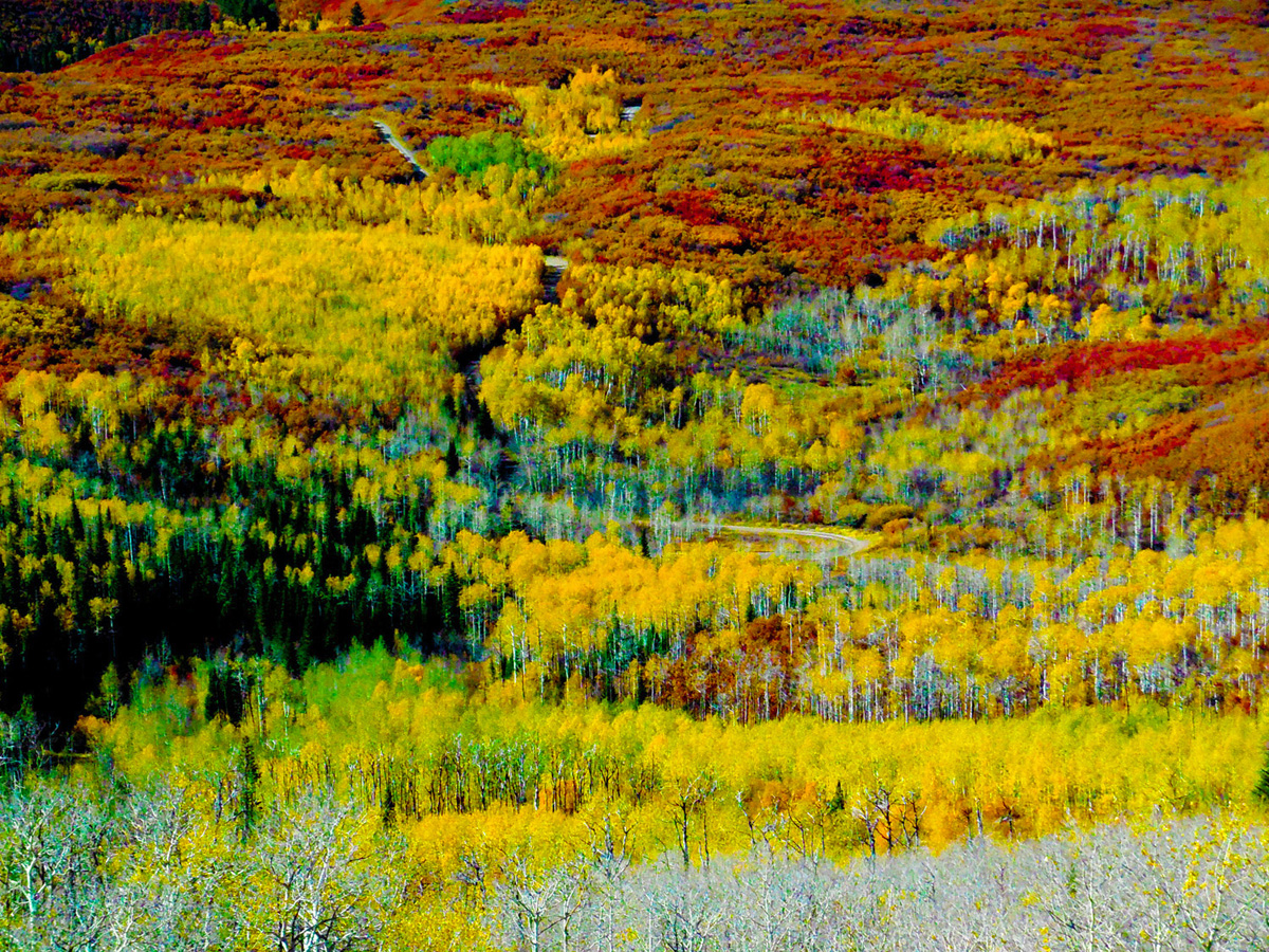
Vivid autumn colors
Oct 08 2017 - 3:14 pm
Oct 08 2017 - 3:14 pm
61 / 90
Upper Grand Canyon of the Colorado River (btw Grand and Battlement Mesas and Roan Cliffs)
Oct 08 2017 - 3:15 pm
Oct 08 2017 - 3:15 pm
62 / 90
Sign at entrance to Grand Mesa National Forest (carbon 'ace-in-the-hole', 2 trillion bbls of oil at $100/bbl)
Apr 13 2017 - 12:12 pm
Apr 13 2017 - 12:12 pm
63 / 90
Roan Cliffs (Mahagony Zone of the Green River Formation is the first thin black line or layer from the top)
May 29 2020 - 1:21 pm
May 29 2020 - 1:21 pm
64 / 90
Looking downhill: an active, creeping avalanche
May 12 2019 - 7:20 pm
May 12 2019 - 7:20 pm
65 / 90
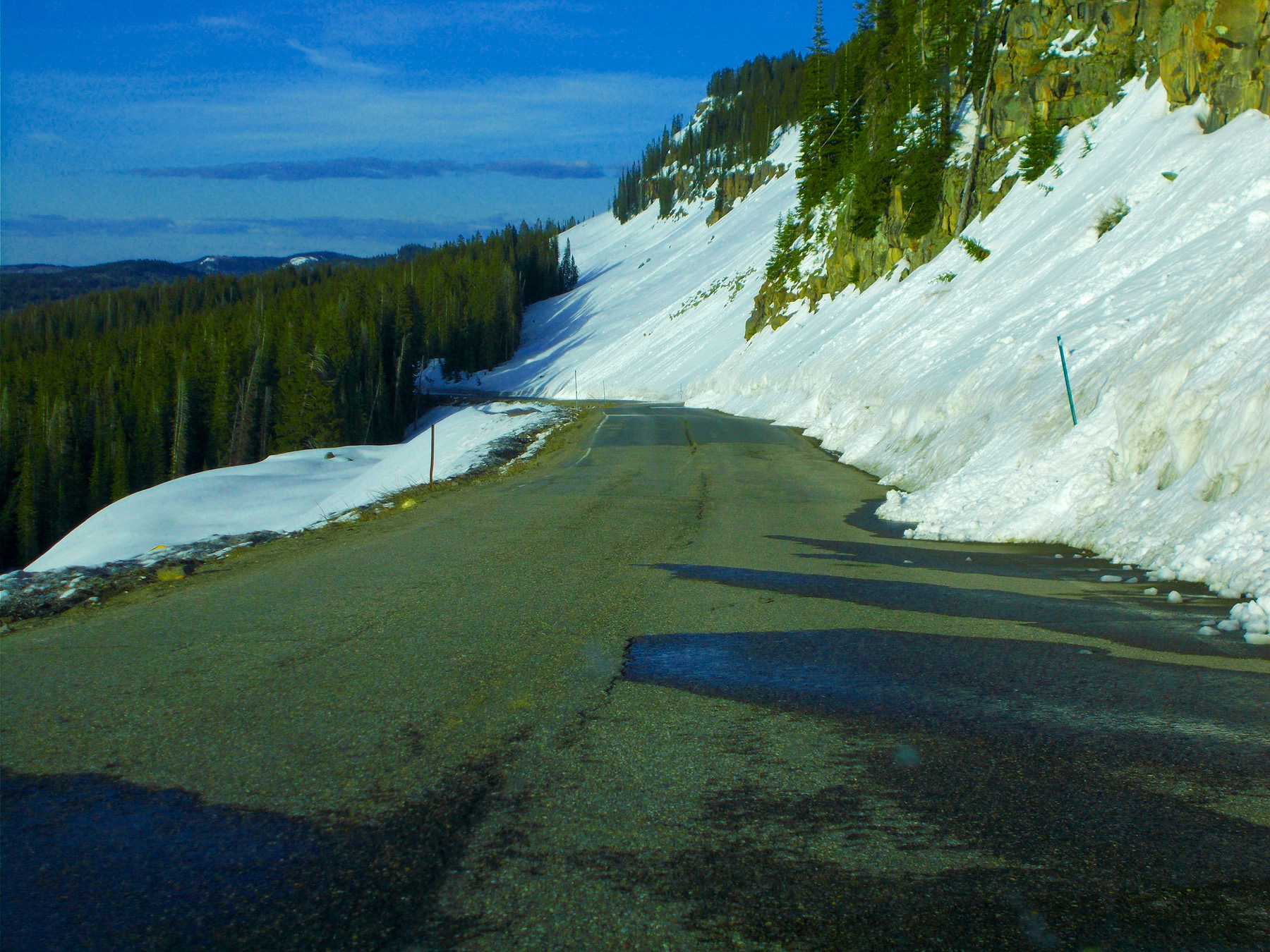
Looking uphill: narrow road
May 29 2020 - 1:26 pm
May 29 2020 - 1:26 pm
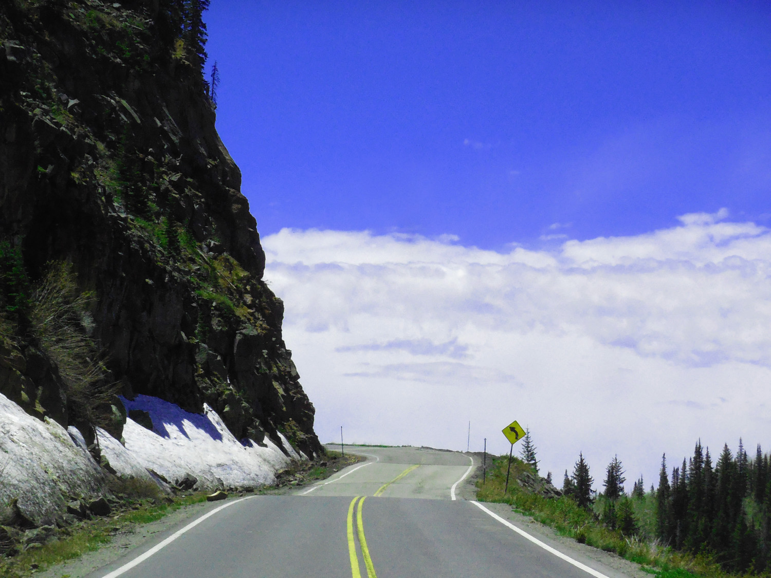
66 / 90
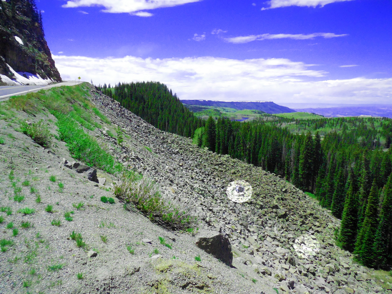
Circles show cars that tumbled off the road (I suspect CDOT leaves them there as reminders, else it happened recently)
May 29 2020 - 1:24 pm
May 29 2020 - 1:24 pm
67 / 90
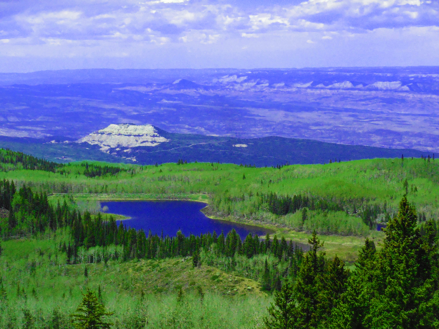
Chalk Mountain (8,092') beyond Anderson Reservoir #2
May 29 2020 - 1:19 pm
May 29 2020 - 1:19 pm
68 / 90
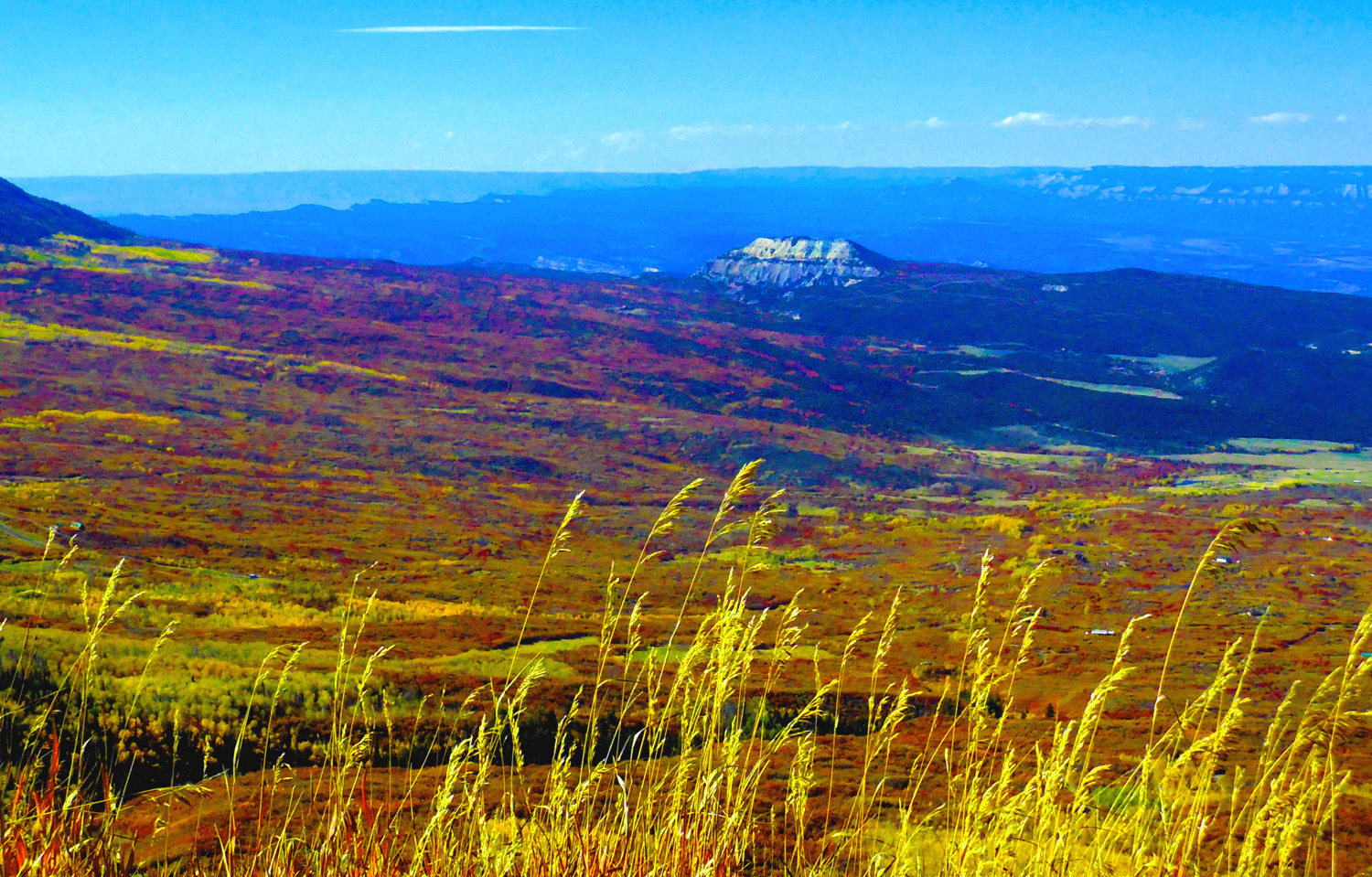
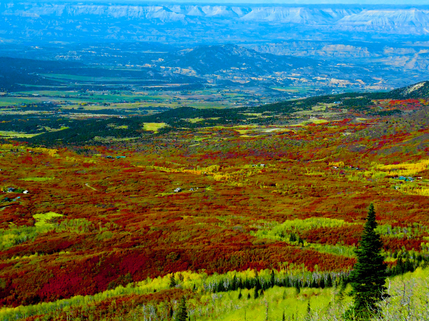
Battlement Mesa from Grand Mesa
May 29 2020 - 1:21 pm
May 29 2020 - 1:21 pm
69 / 90
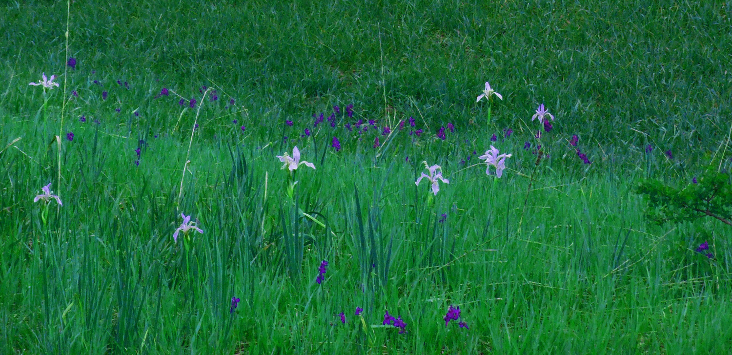
Wild iris (named after the Greek messenger goddess of color)
May 29 2020 - 12:49 pm
May 29 2020 - 12:49 pm
70 / 90
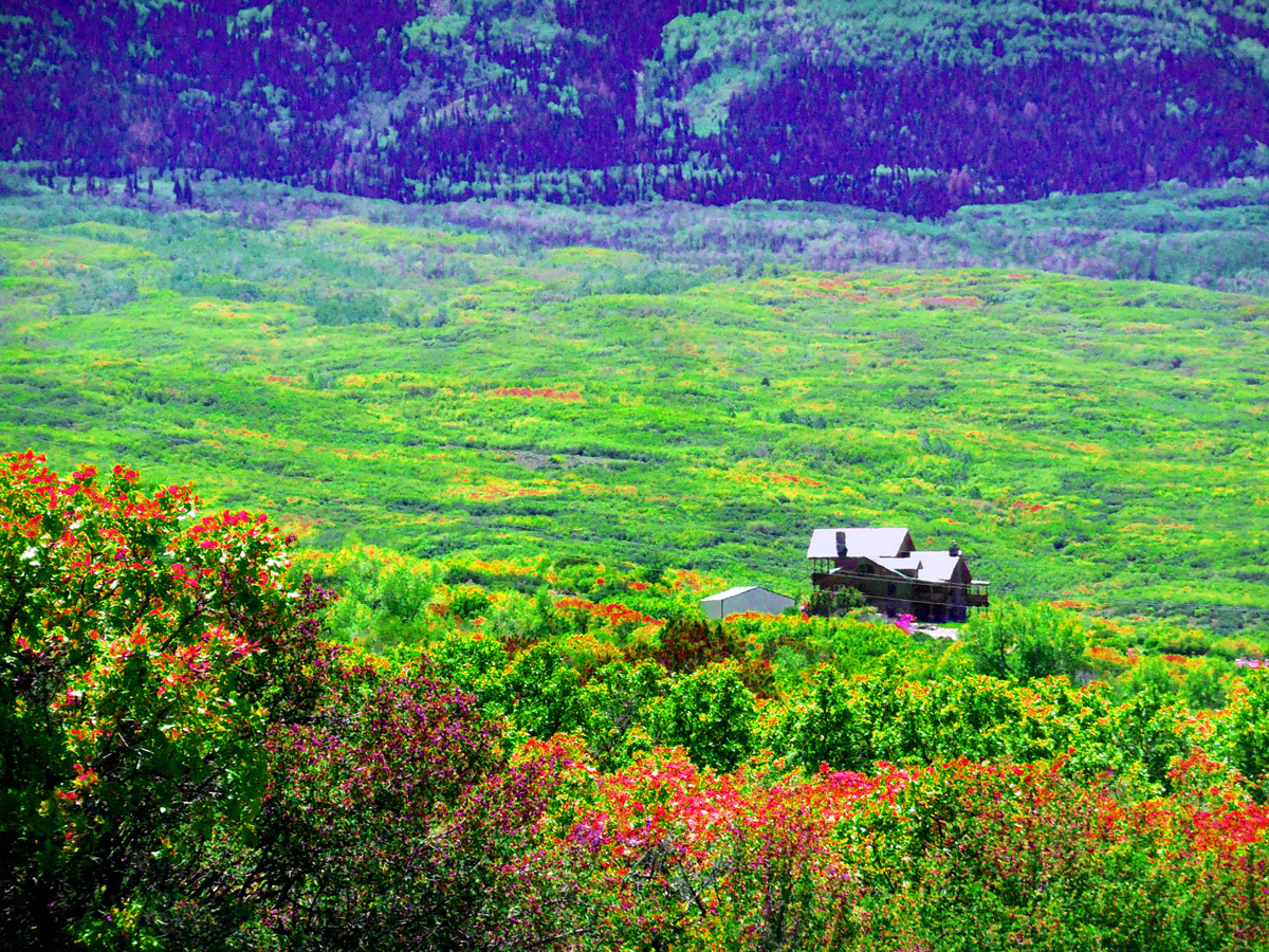
Lone house in the woods
May 29 2020 - 1:48 pm
May 29 2020 - 1:48 pm
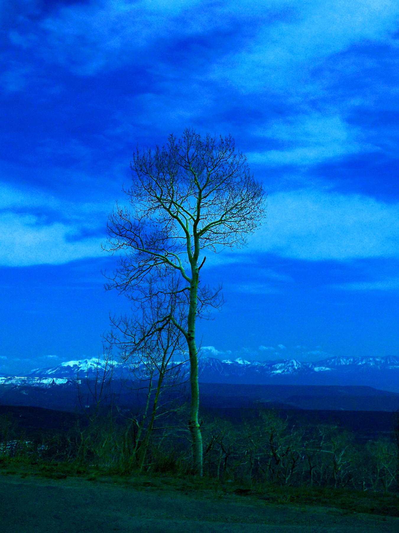
71 / 90
Last melting snow at the end of May
May 29 2020 - 1:17 pm
May 29 2020 - 1:17 pm
72 / 90
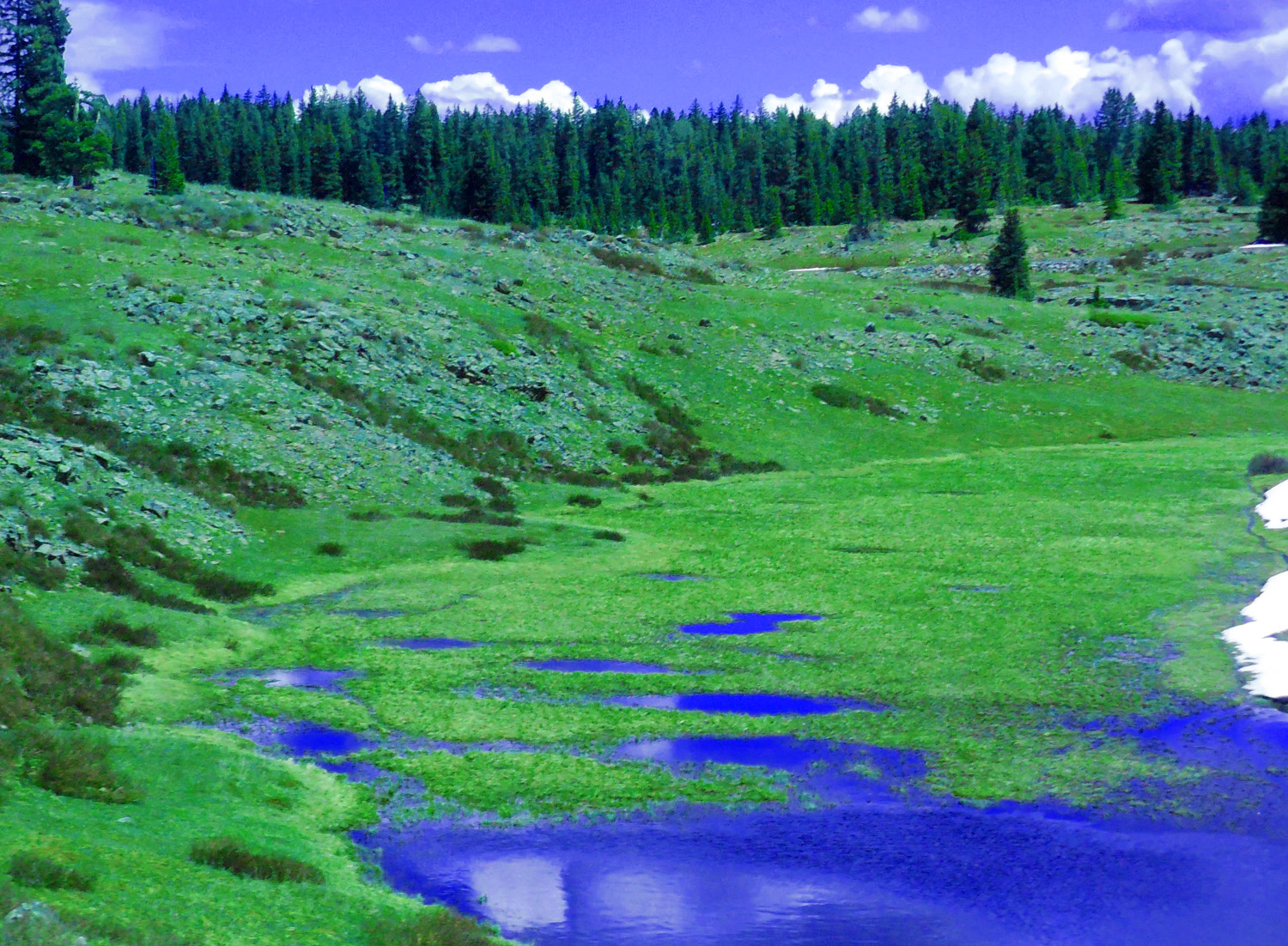
Across the road (water disappears quickly, in a few weeks these 'lakes' will be dry)
May 29 2020 - 1:15 pm
May 29 2020 - 1:15 pm
73 / 90
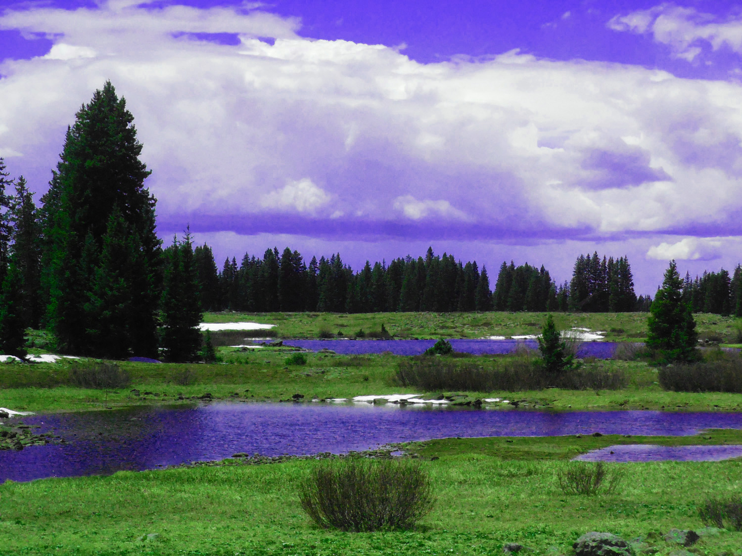
Two weeks and a year earlier (much more snow) perhaps as every year, rapidly melting in the late May heat
May 12 2019 - 7:17 pm
May 12 2019 - 7:17 pm
74 / 90
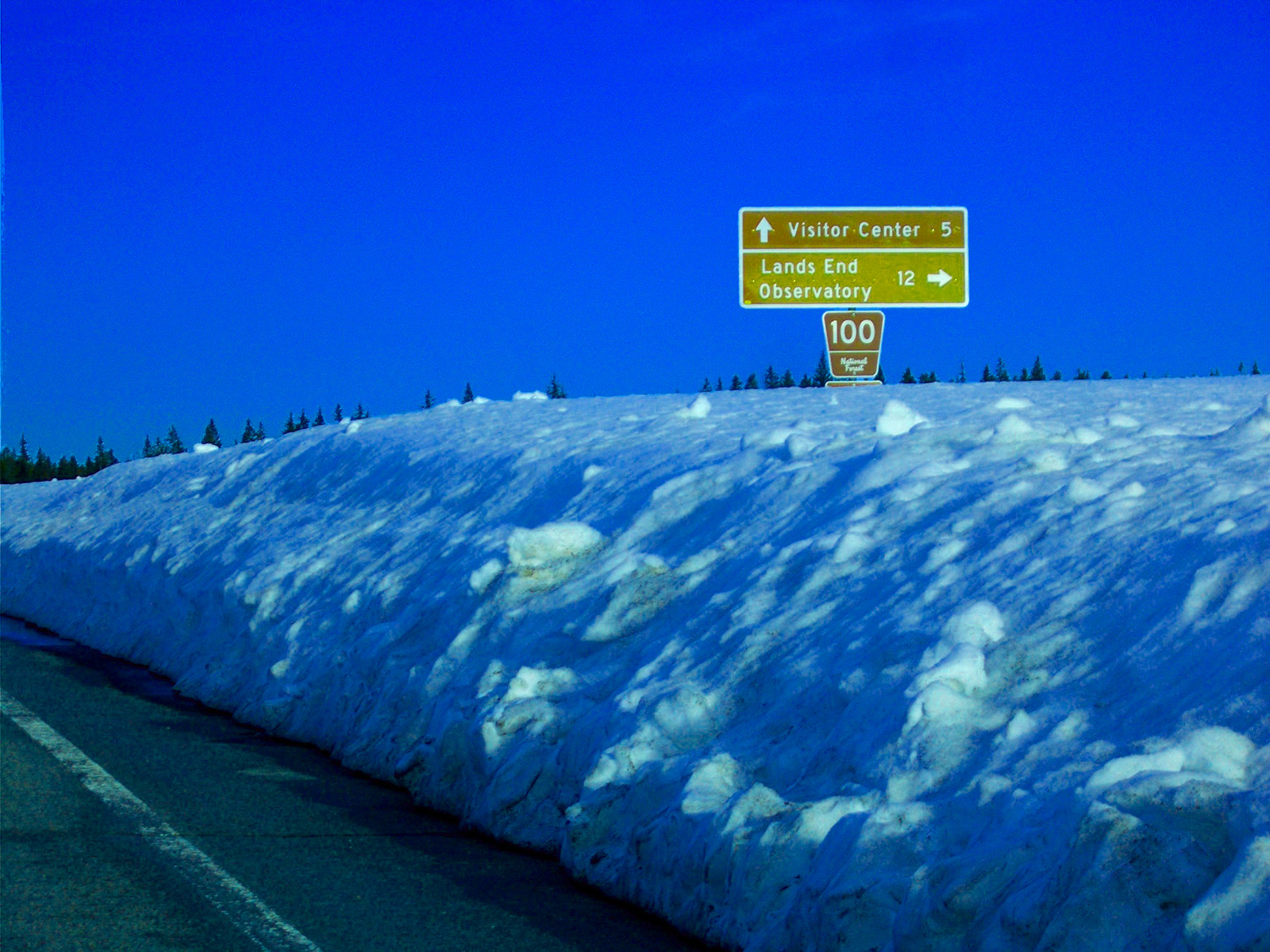
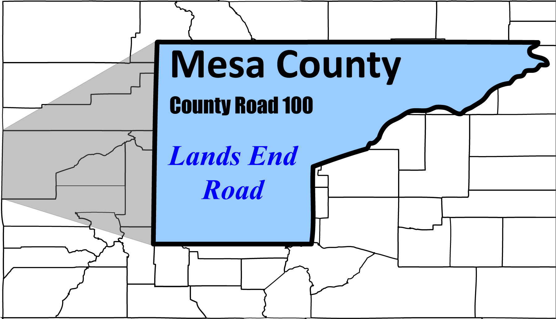
Lands End Road closed in mid May
May 12 2019 - 7:16 pm
May 12 2019 - 7:16 pm
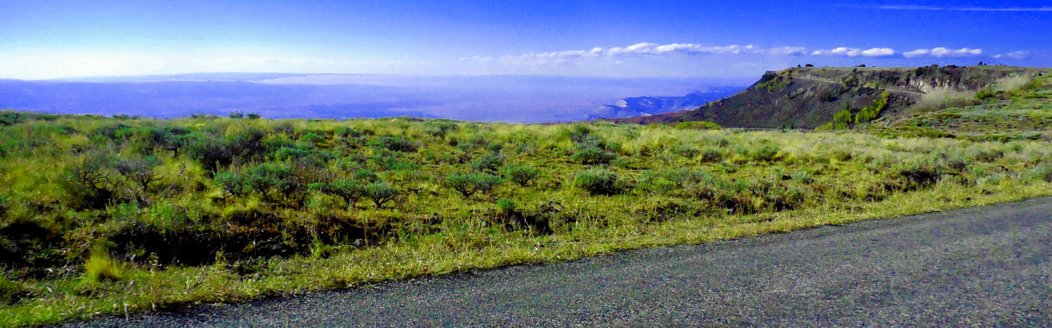
75 / 90
Lands End Road open in early October
76 / 90
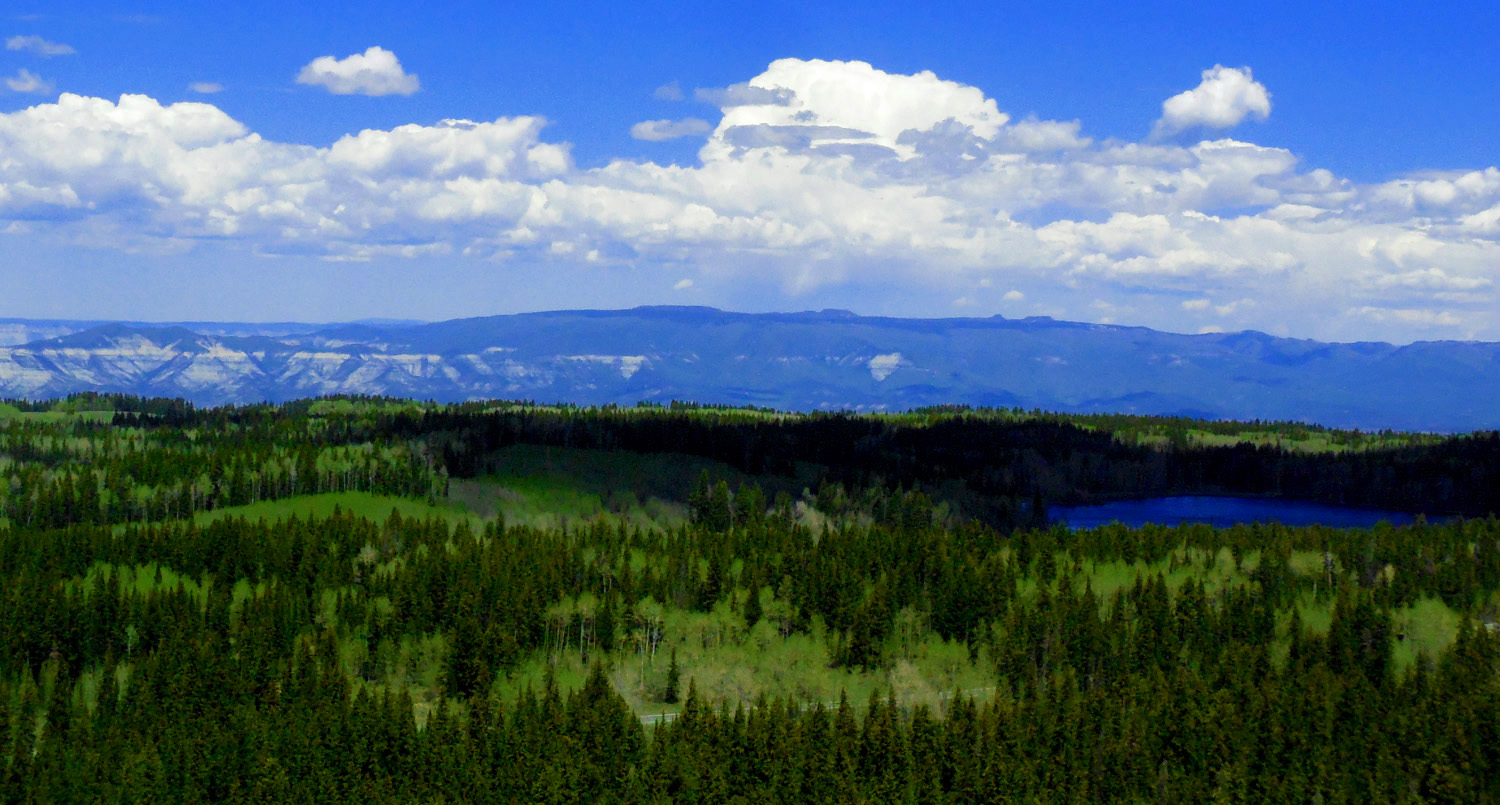
Grand Mesa
Oct 08 2017 - 3:56 pm
Oct 08 2017 - 3:56 pm
77 / 90
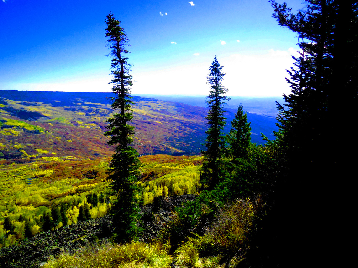
Largest flat topped mountain in the world (so they say)
Oct 08 2017 - 4:08 pm
Oct 08 2017 - 4:08 pm
78 / 90
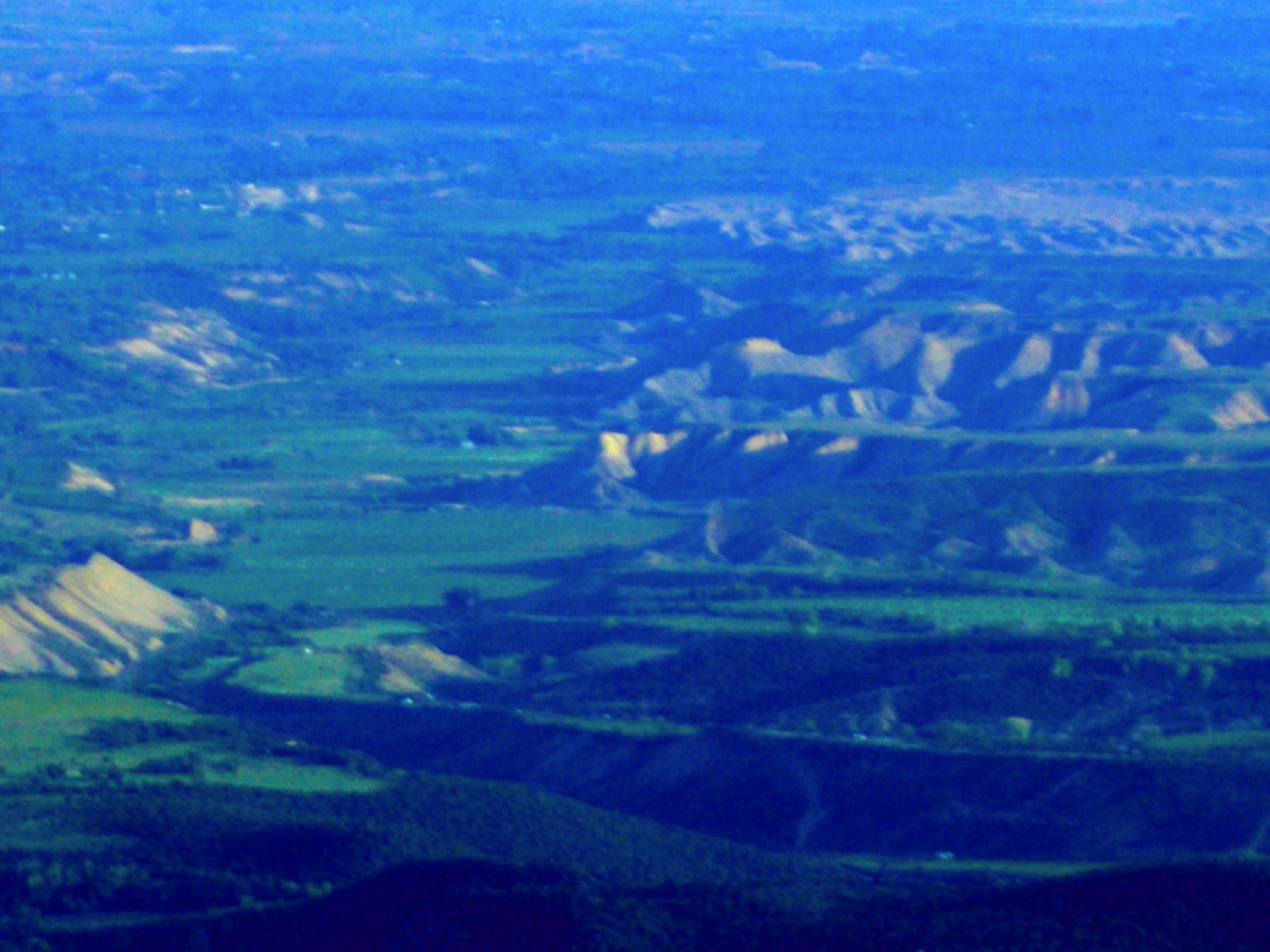
Book Cliffs and Mt. Garfield in background far below Grand Mesa
Oct 08 2017 - 4:13 pm
Oct 08 2017 - 4:13 pm
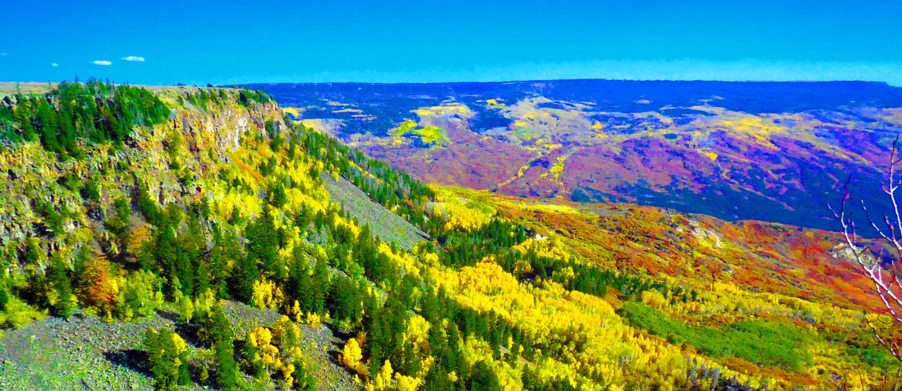
79 / 90
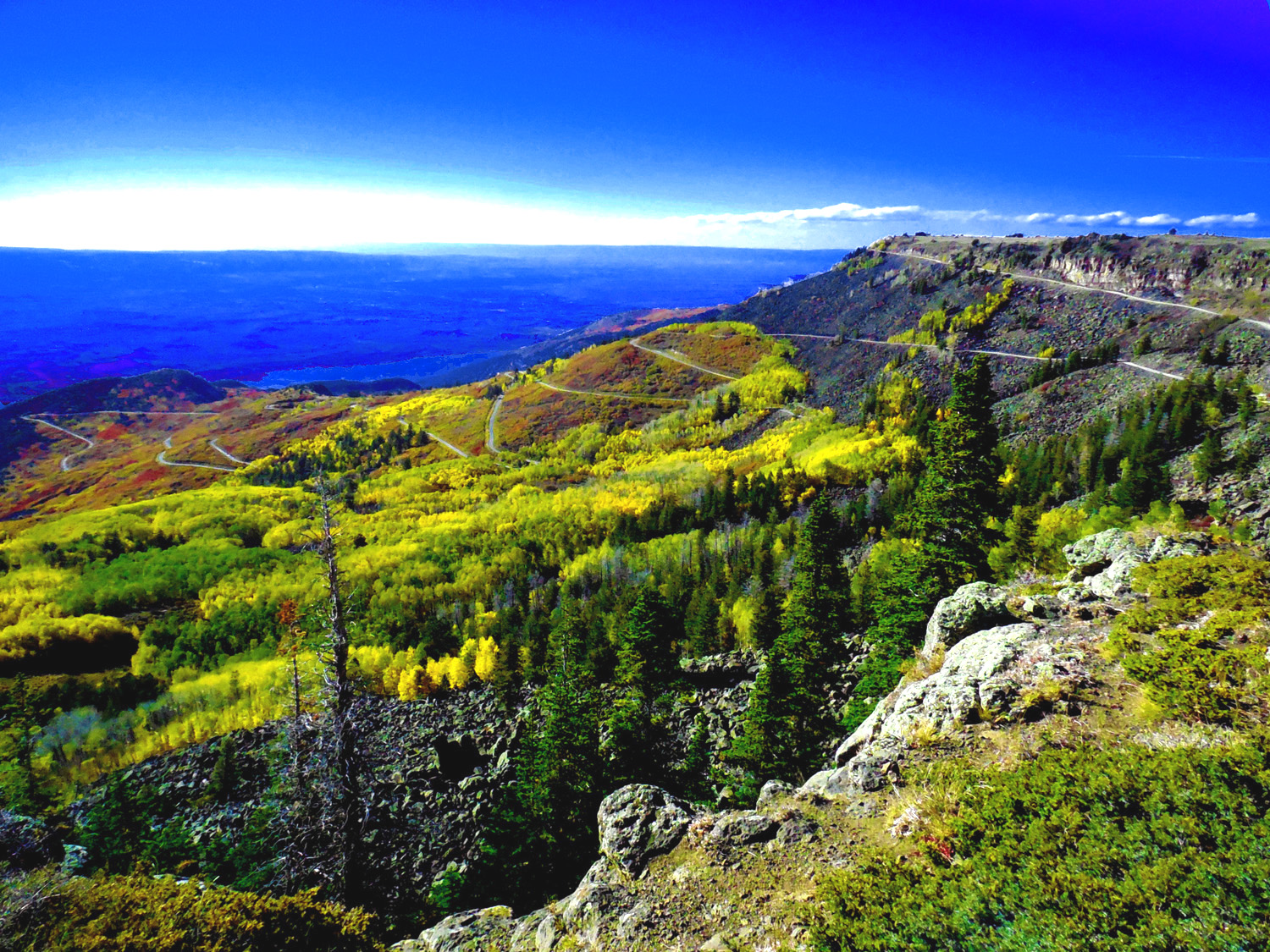
Switchbacks on Lands End Road
Oct 08 2017 - 4:15 pm
Oct 08 2017 - 4:15 pm
80 / 90
The first switchback after crossing the basalt cliff
Oct 08 2017 - 4:16 pm
Oct 08 2017 - 4:16 pm
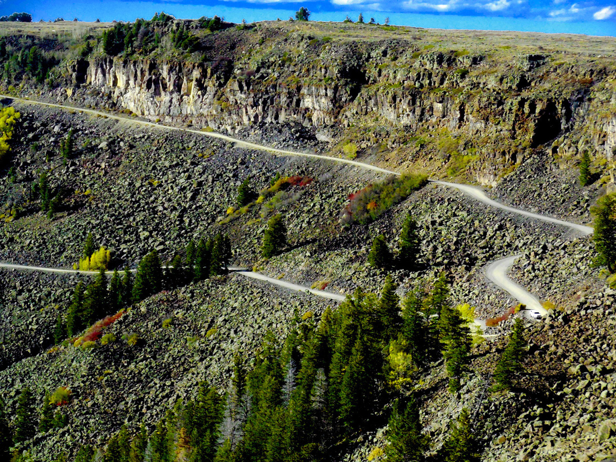
81 / 90
Road view of the cliff
Oct 08 2017 - 4:47 pm
Oct 08 2017 - 4:47 pm
82 / 90
Looking back
Oct 08 2017 - 5:01 pm
Oct 08 2017 - 5:01 pm
83 / 90
Back to CO 65 at the top of Grand Mesa
Jan 14 2020 - 10:36 am
Jan 14 2020 - 10:36 am
84 / 90
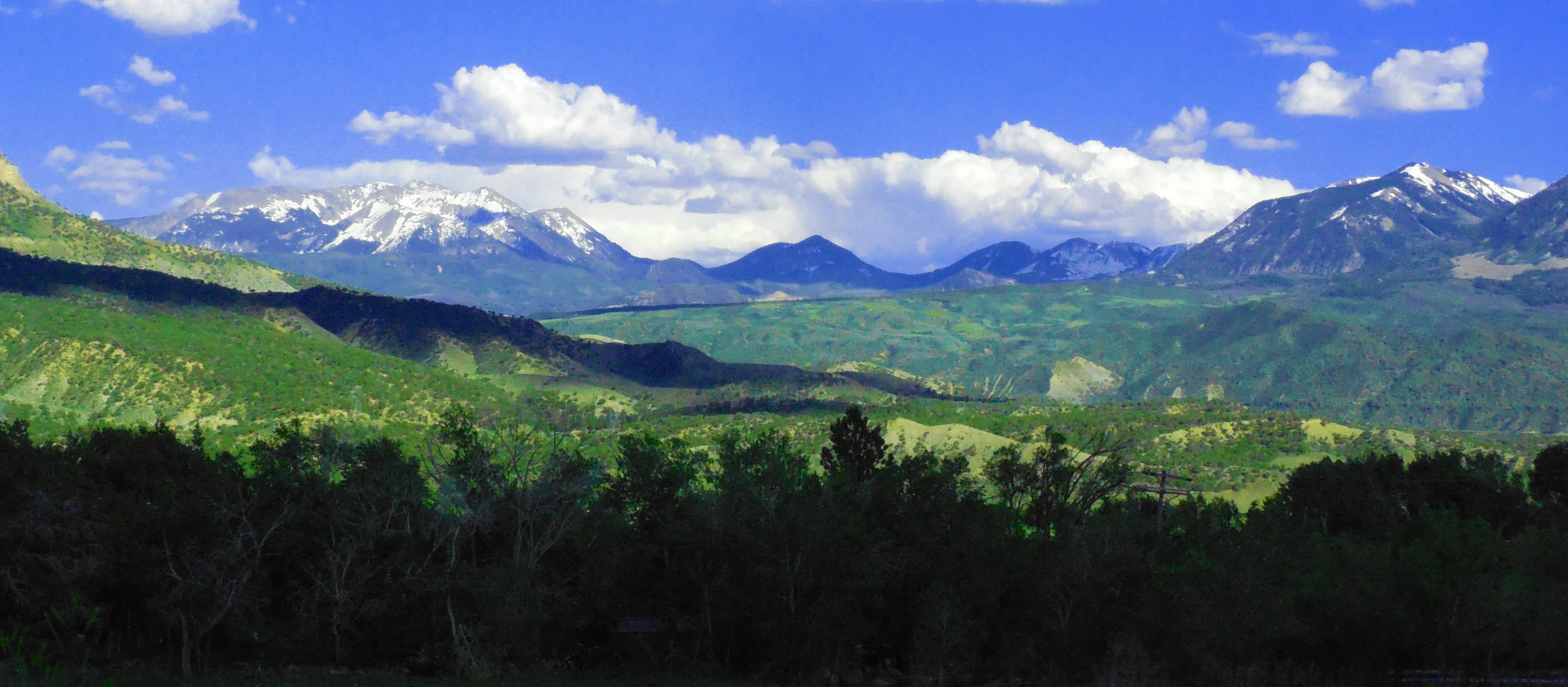
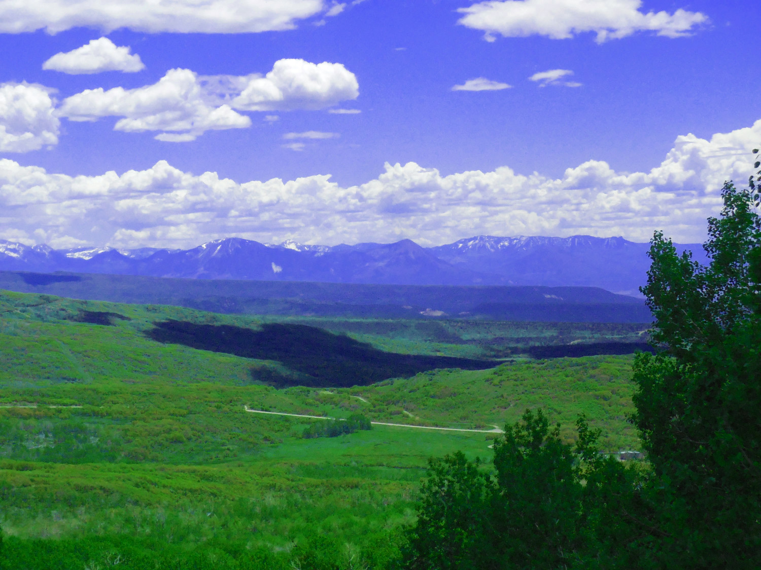
West Elk Mountains
Apr 13 2017 - 1:10 pm
Apr 13 2017 - 1:10 pm
85 / 90
Uncompahgre Peak (14,321' left) and the San Juan Mountains
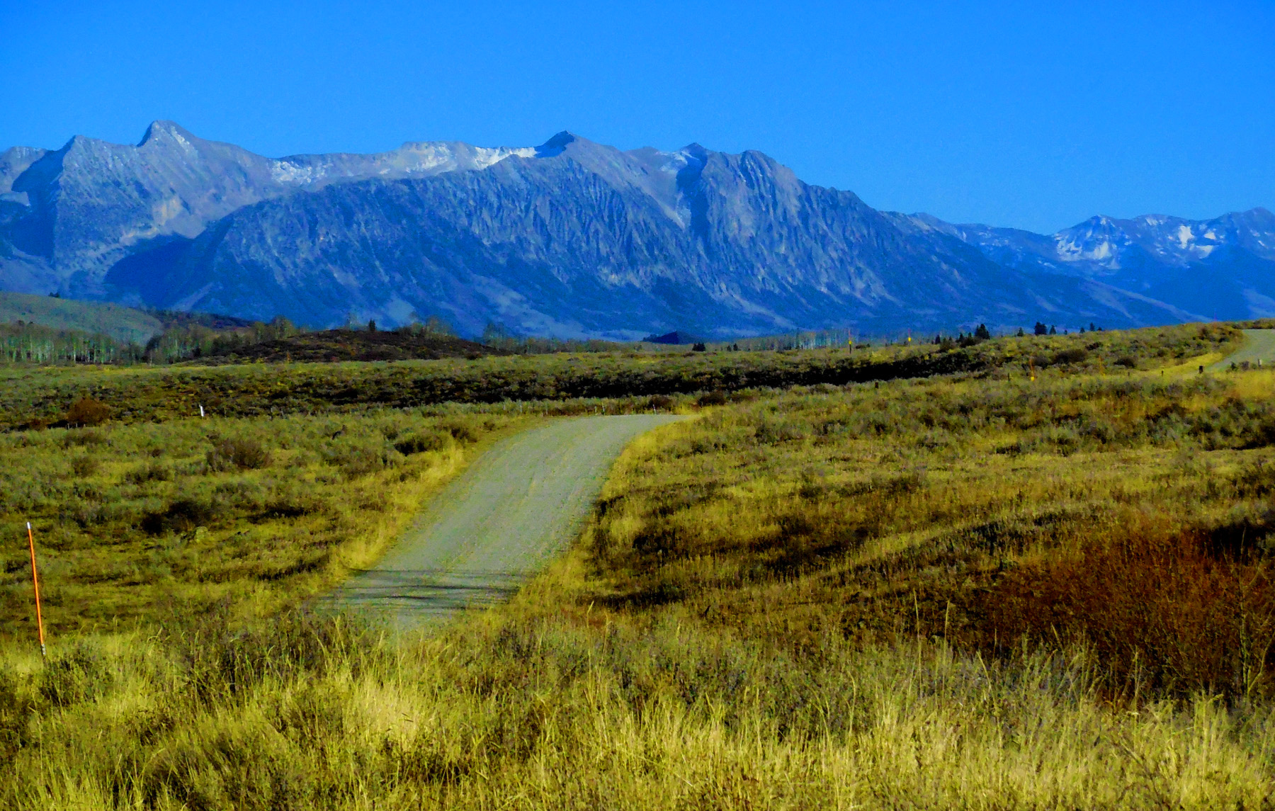
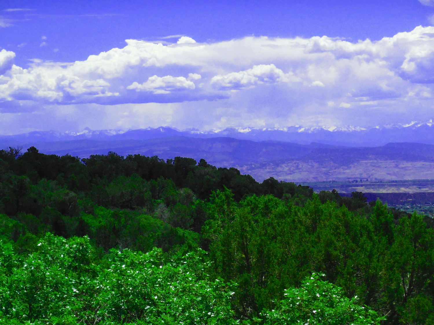
May 29 2020 - 12:40 pm
May 29 2020 - 12:40 pm
86 / 90

Thunderstorm over the San Juan Mountains (centered on Mt. Sneffels, 14,157')
May 29 2020 - 12:44 pm
May 29 2020 - 12:44 pm
87 / 90
Coming down the southeast side of Grand Mesa
May 29 2020 - 12:53 pm
May 29 2020 - 12:53 pm
88 / 90
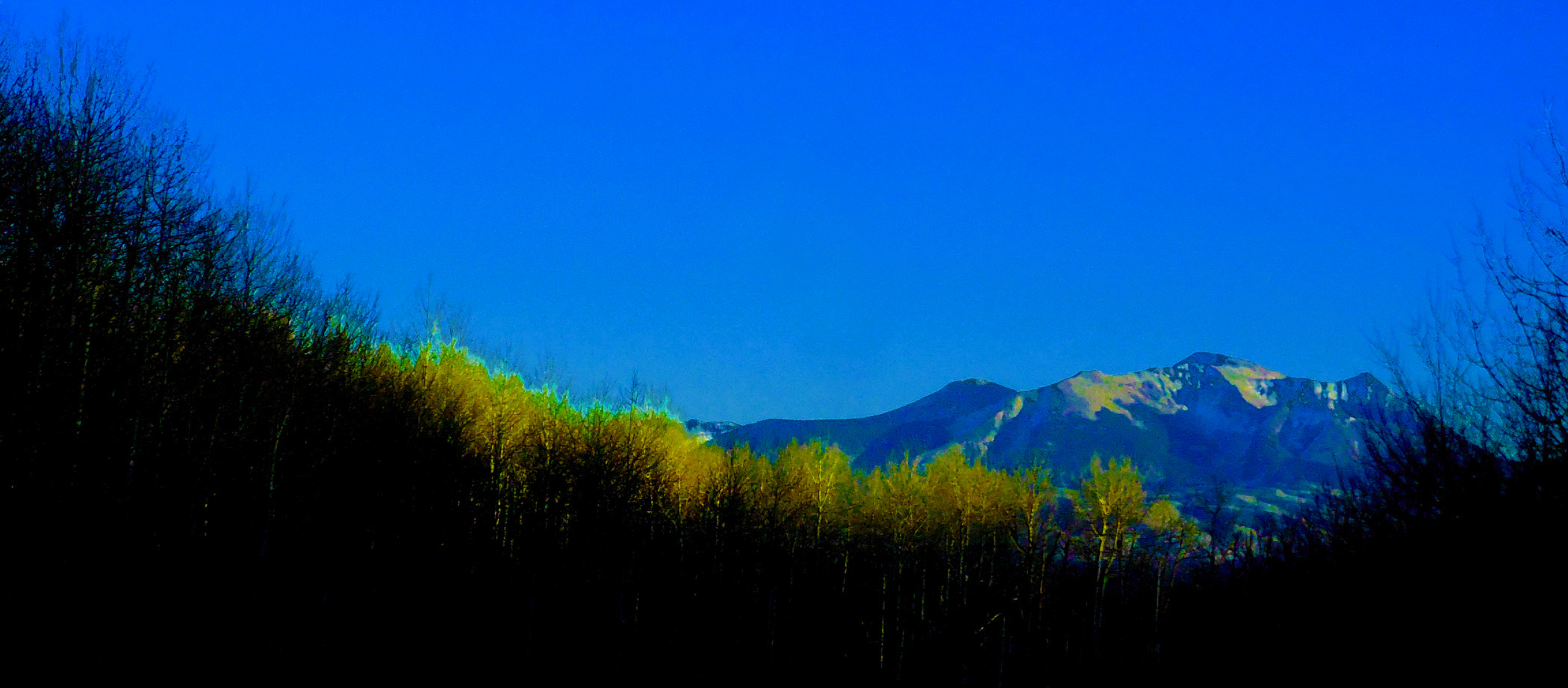
Lush green irrigated desert around Cedaredge
May 12 2019 - 7:00 pm
May 12 2019 - 7:00 pm
89 / 90
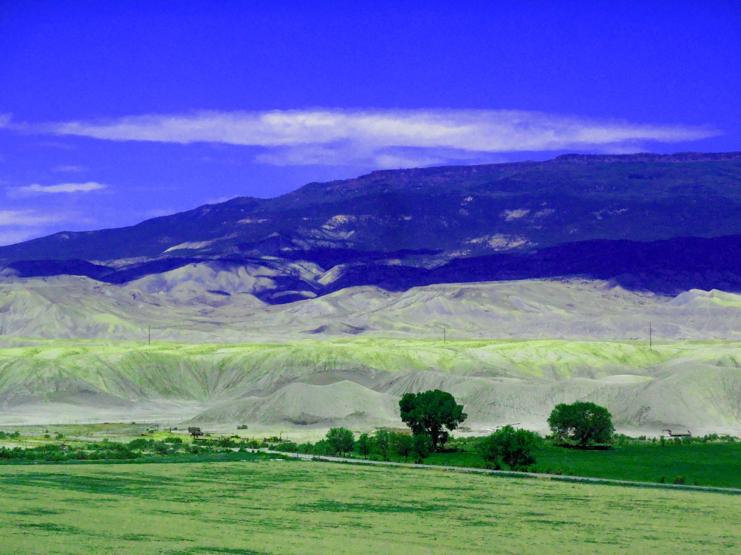
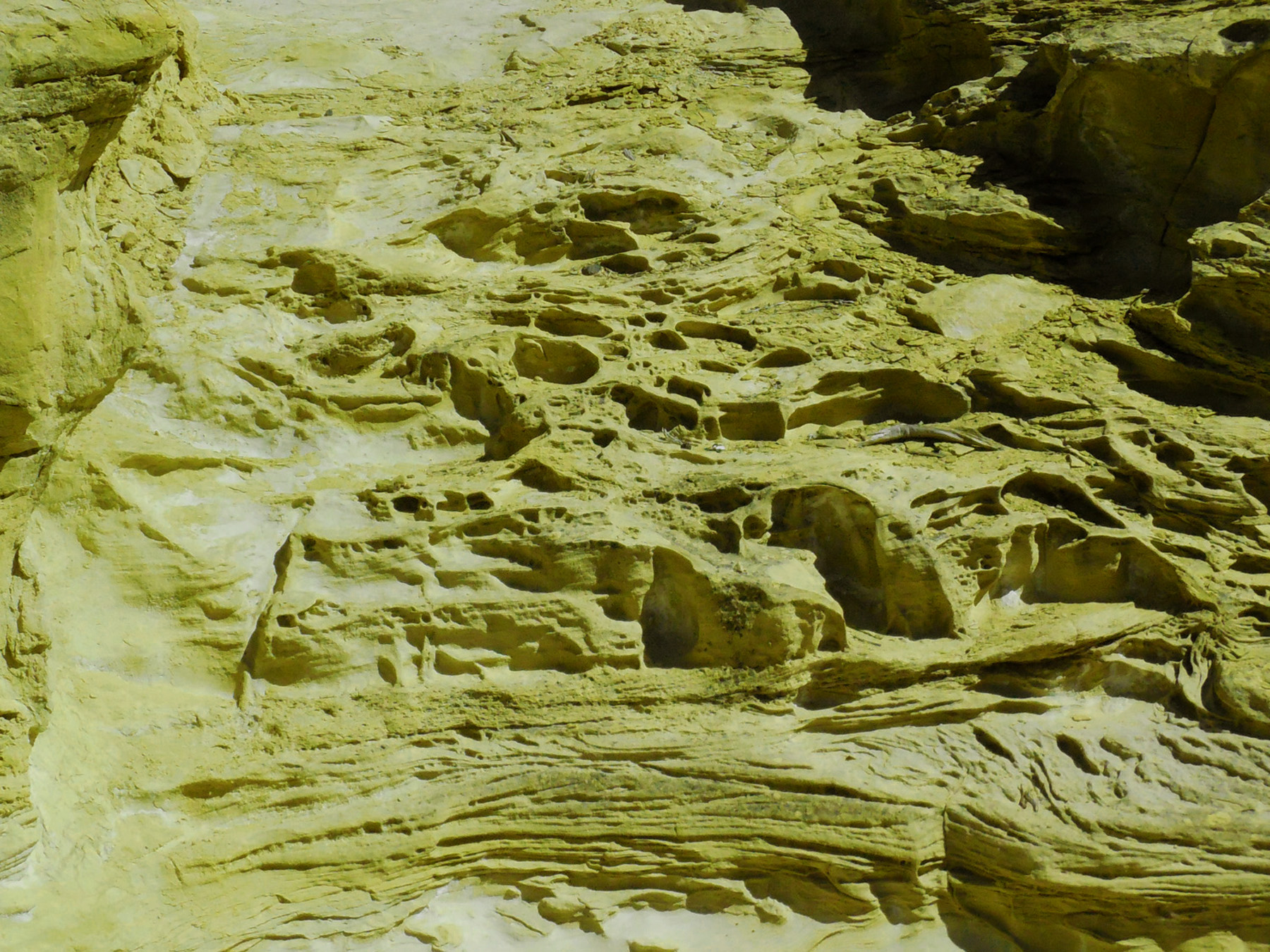
Grand Mesa from the southeast (oxidized sulphur in the Mancos Shale is yellow)
May 29 2020 - 12:16 pm
May 29 2020 - 12:16 pm
90 / 90
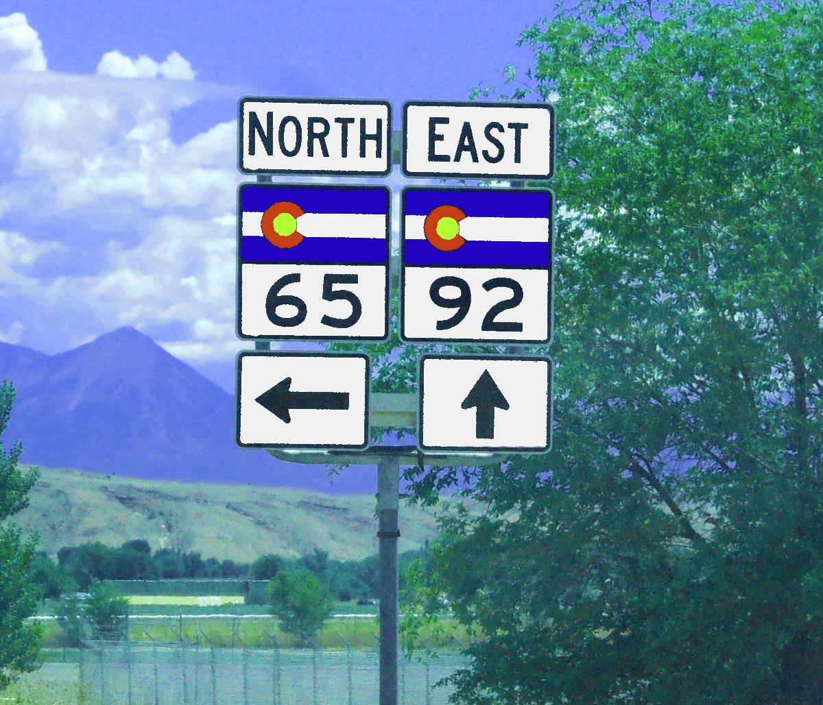
South end of CO 65, junction with CO 92 (3 miles north of US 50 in Delta)
May 29 2020 - 12:11 pm
May 29 2020 - 12:11 pm