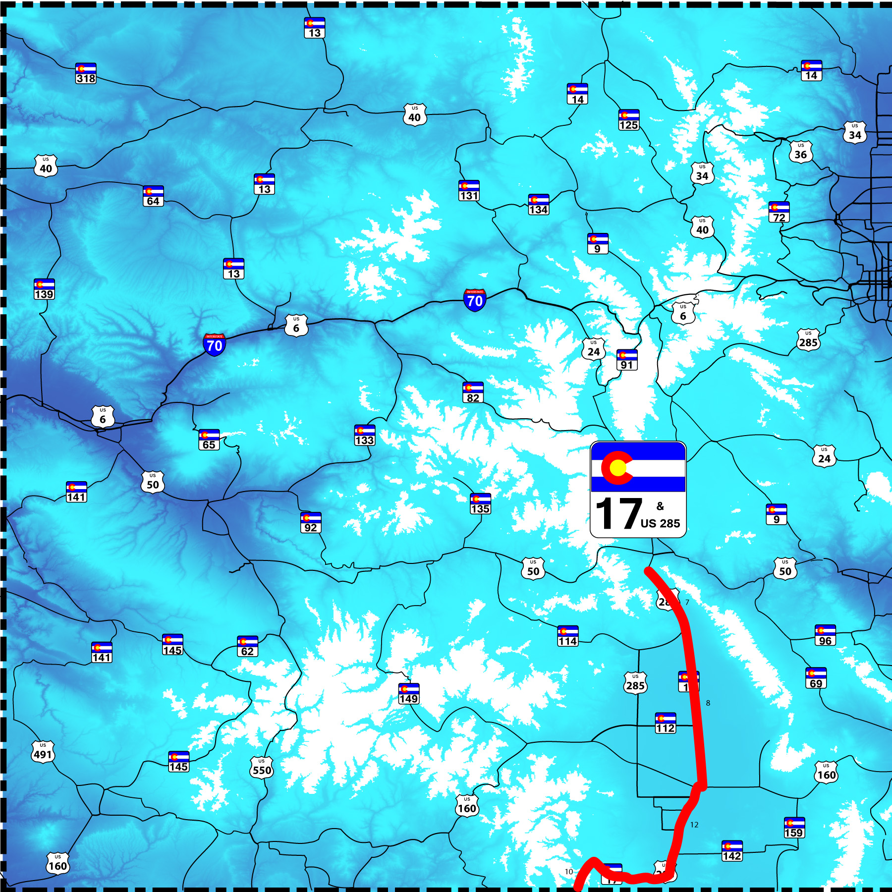
37 Slides: CO 17 10th longest strait road in the world at 48 miles; parallel US 285 known as the
Gunbarrel for its strait (speeding) section between Saguache and Monte Vista, 36 miles
Road Index or use your browser "back" arrow or function 30 second cycle: please choose another user-controlled 2 seconds 5 seconds 10 seconds 1 minute
1 / 37
2 / 37
From US 285, northward extension of CO 17 (note the redundancy in the sign Rio and River)
Sep 11 2017 - 11:48 am
Sep 11 2017 - 11:48 am
3 / 37
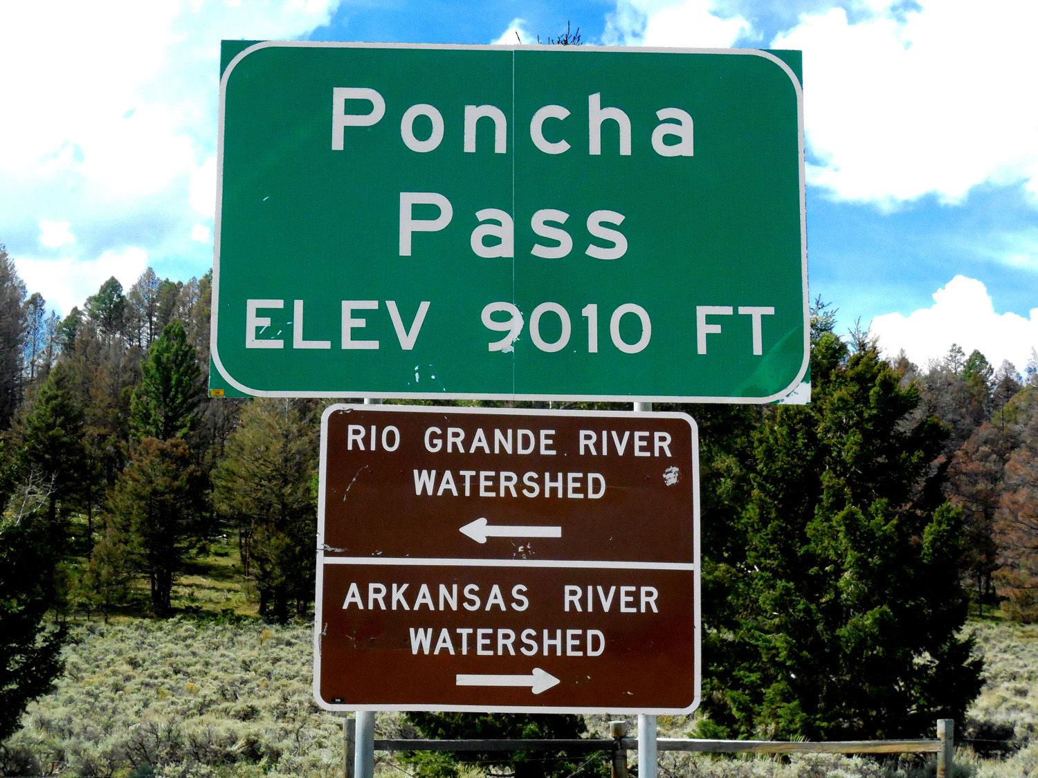
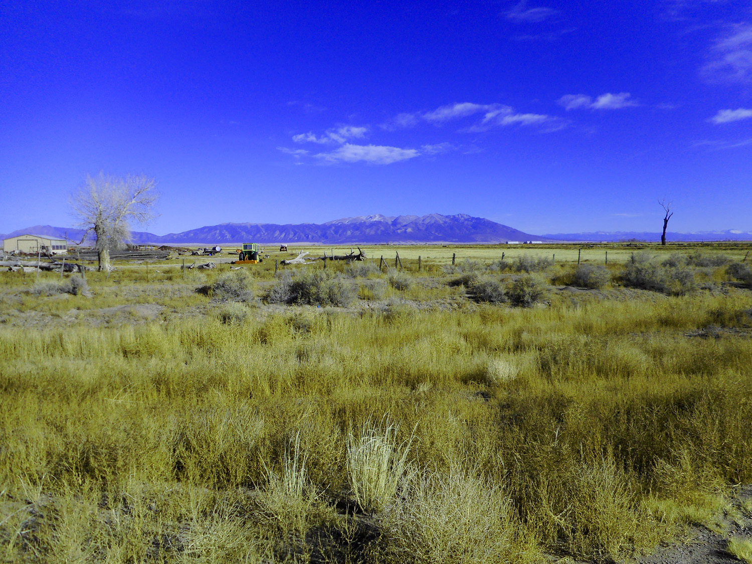
Headwaters of San Luis Creek from Poncha Pass; (the creek flows in a closed basin to San Luis Lake)
Sep 11 2017 - 11:38 am
Sep 11 2017 - 11:38 am
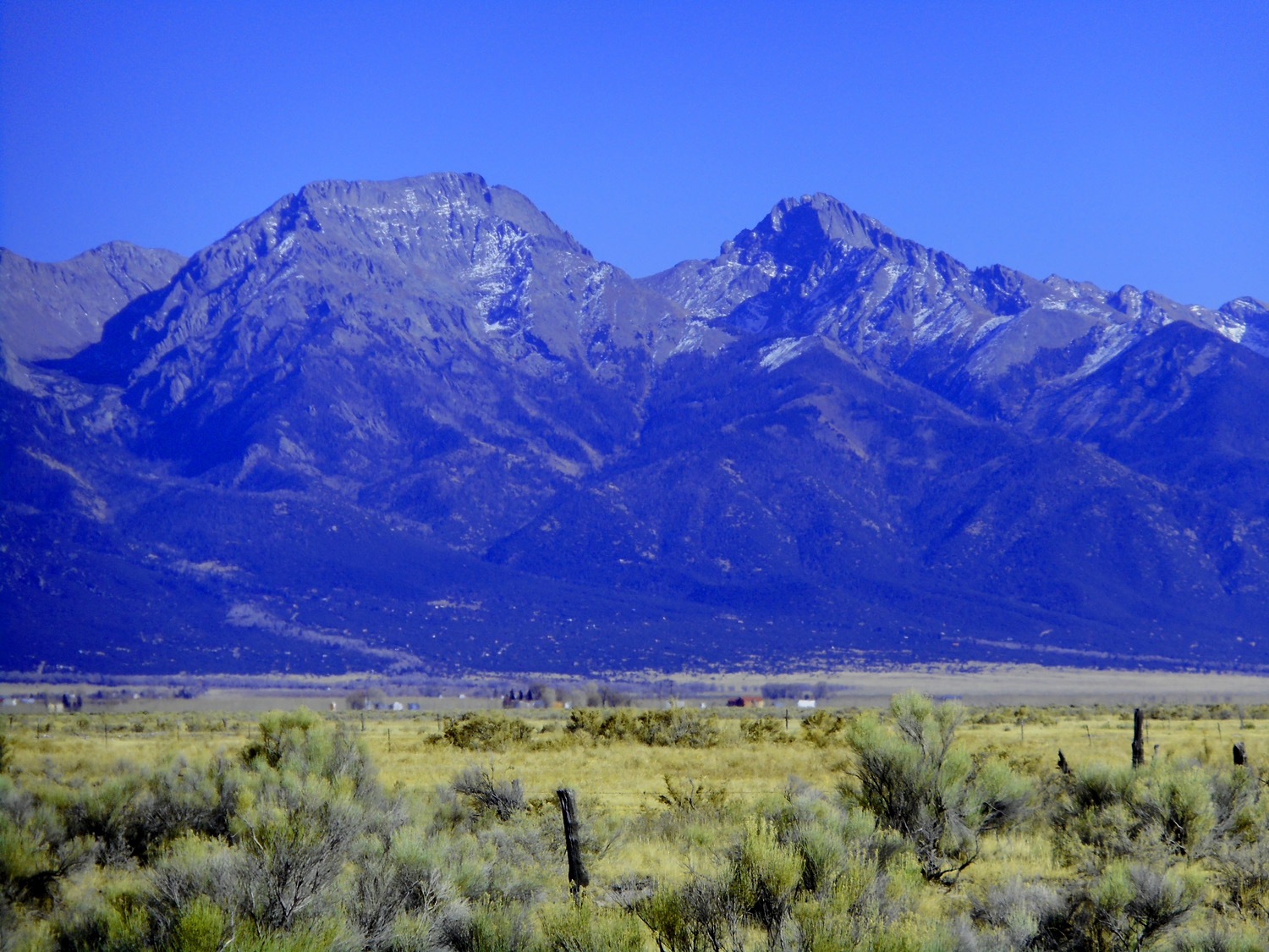
4 / 37
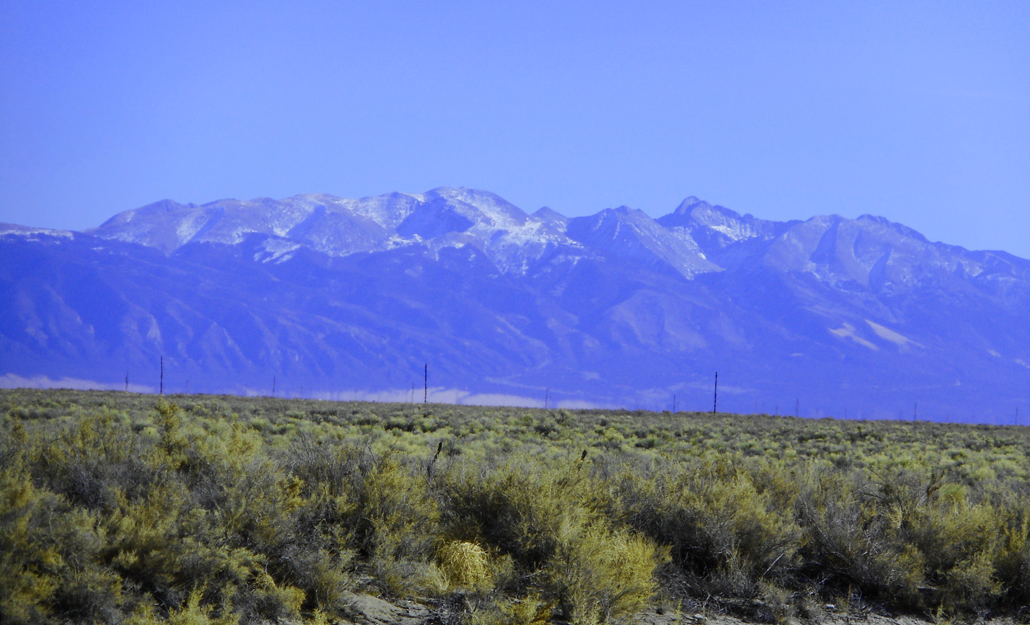
Mt. Shavano (14,229') of the Sawatch Range looking north from US 285
Nov 05 2020 - 5:41 pm
Nov 05 2020 - 5:41 pm
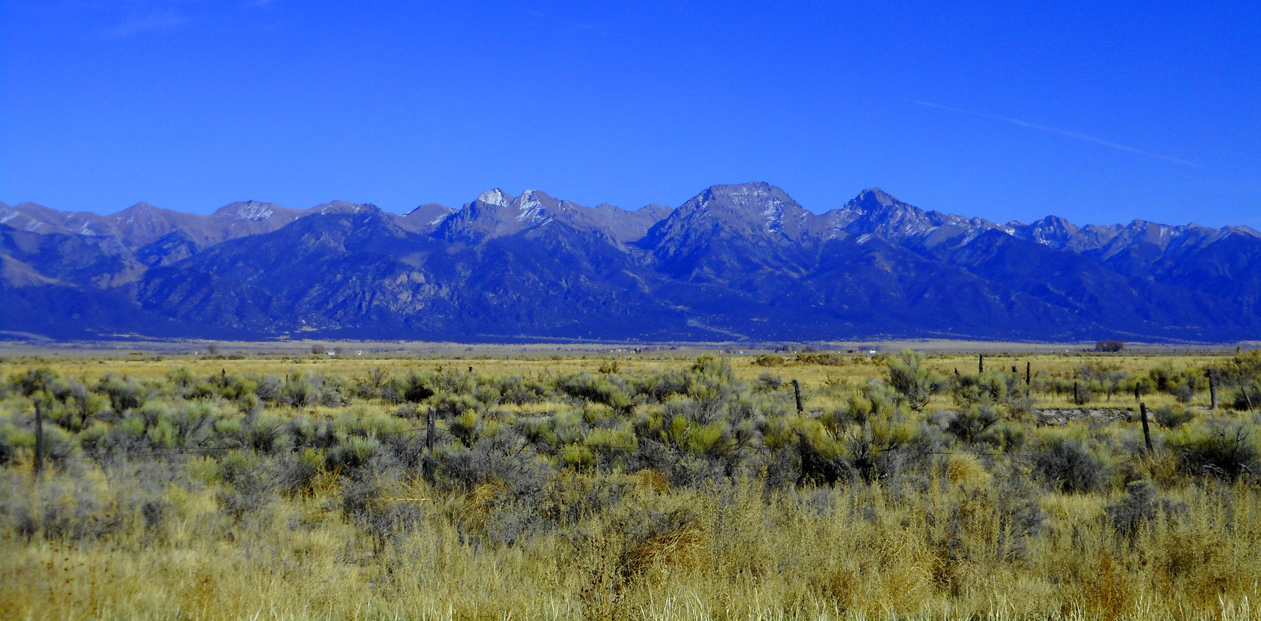
5 / 37
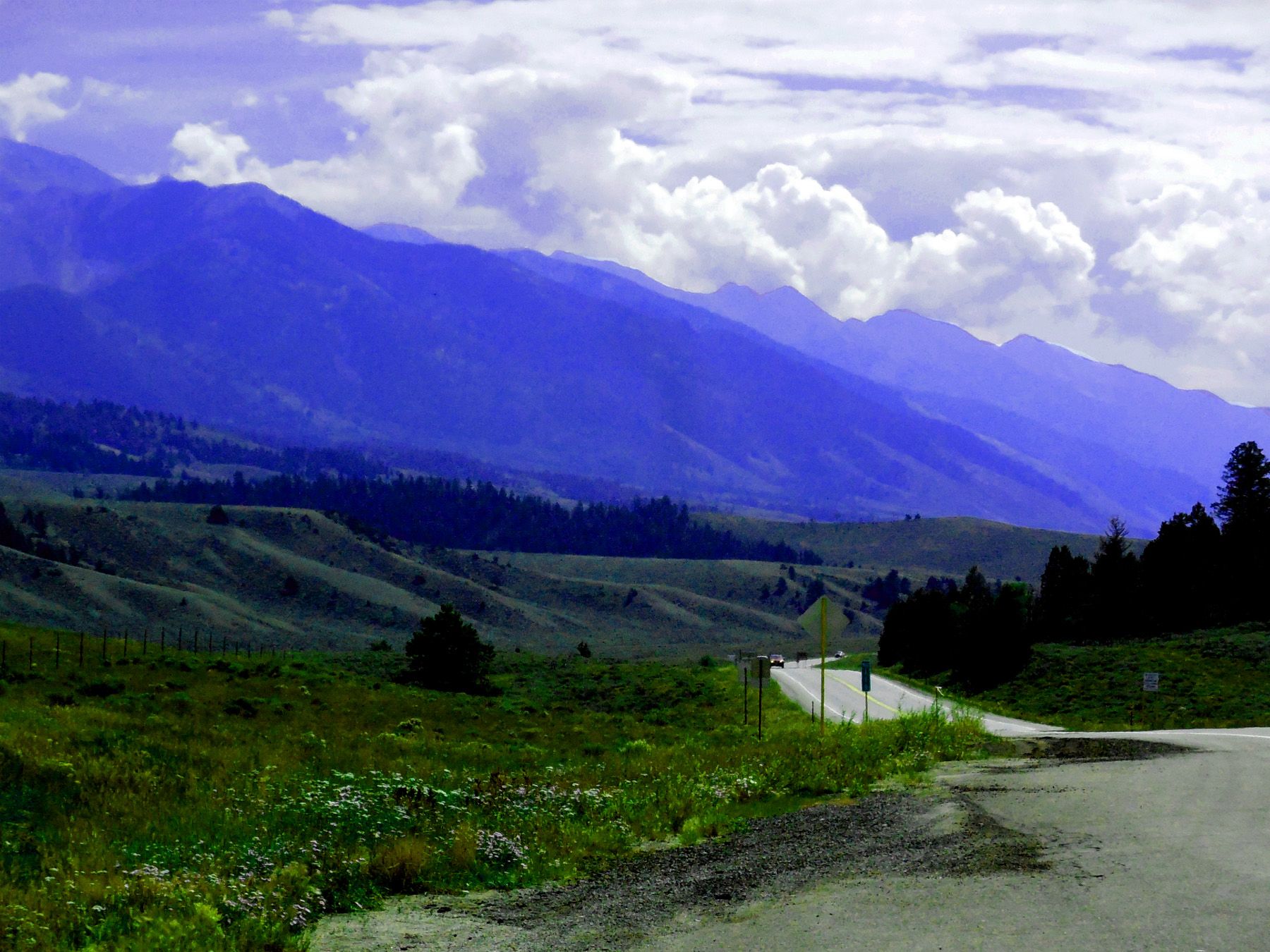
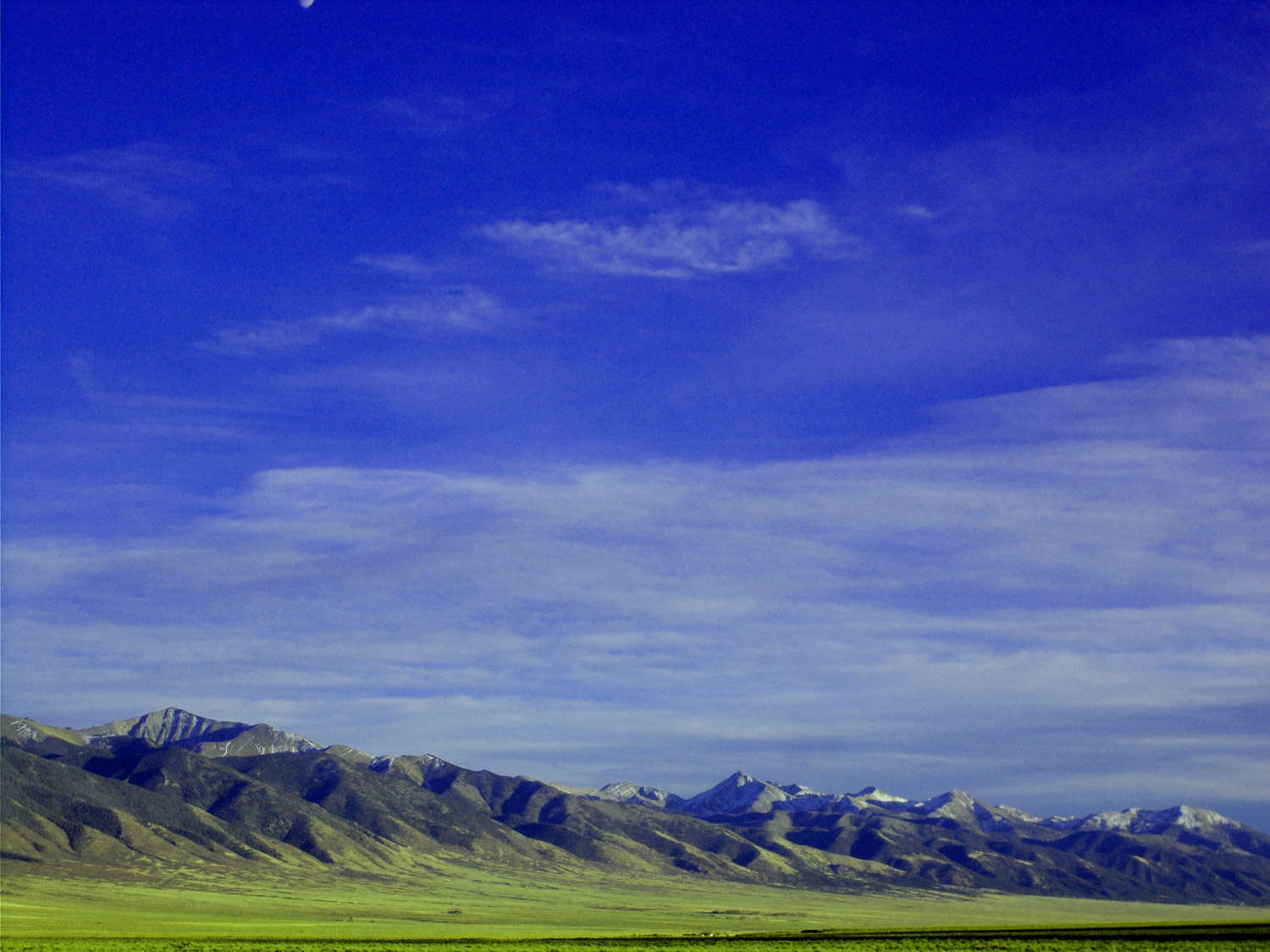
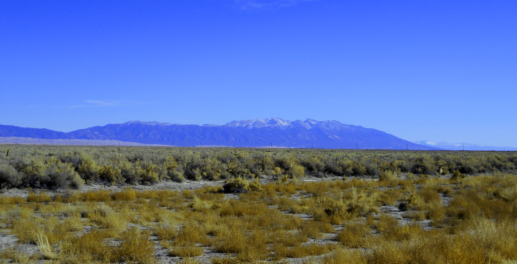
Northern Sangre de Cristo Range looking north from US 285
Nov 05 2020 - 5:35 pm
Nov 05 2020 - 5:35 pm
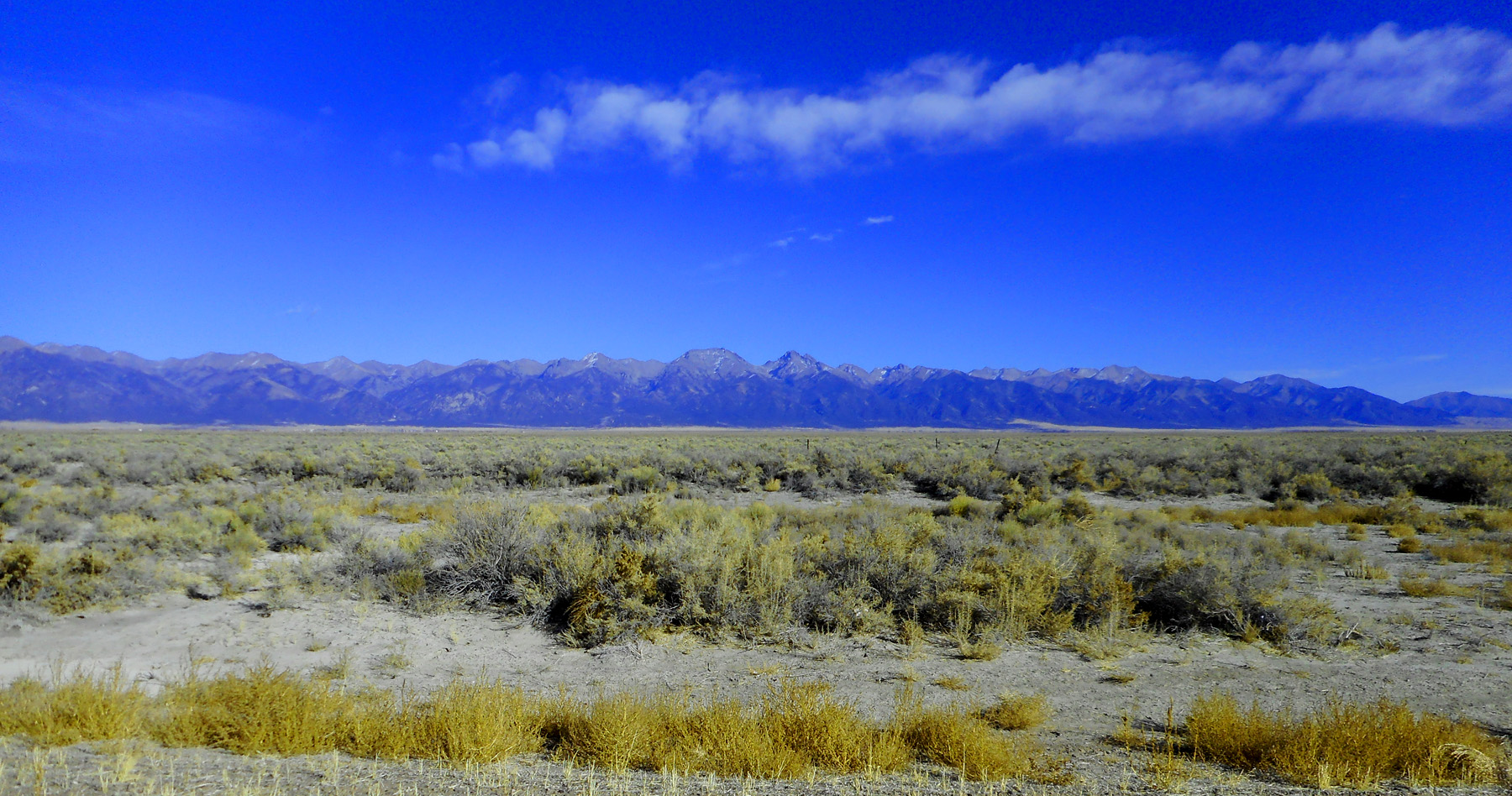
6 / 37
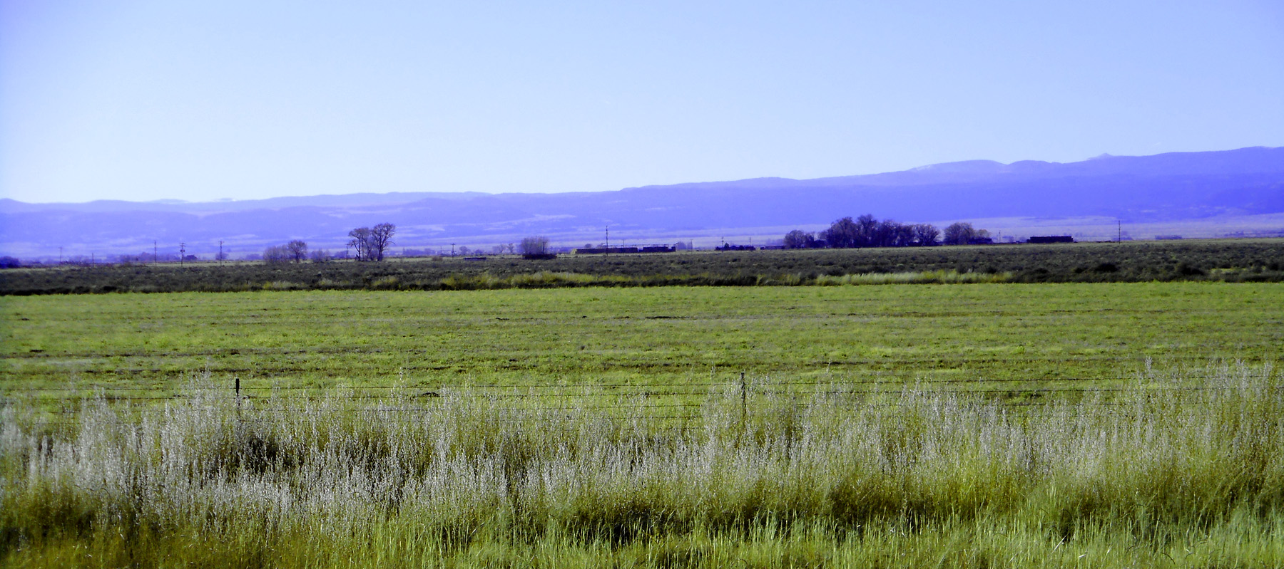
Easternmost surface flow of the San Juan Mountains
Nov 05 2020 - 5:32 pm
Nov 05 2020 - 5:32 pm
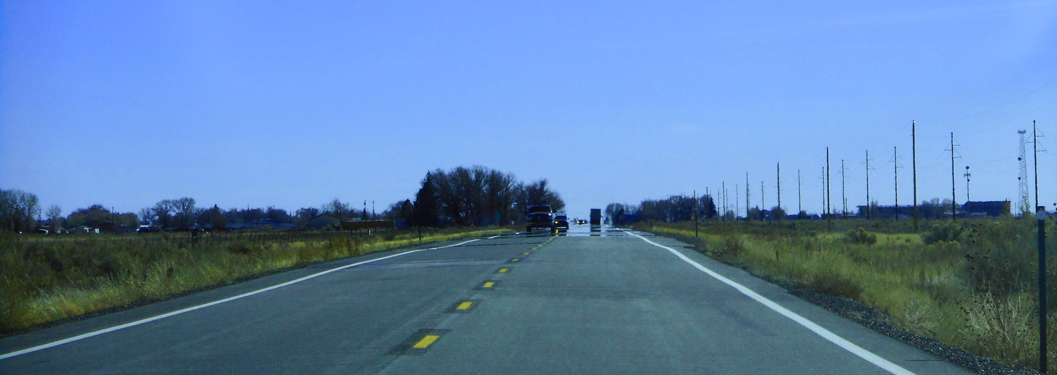
7 / 37
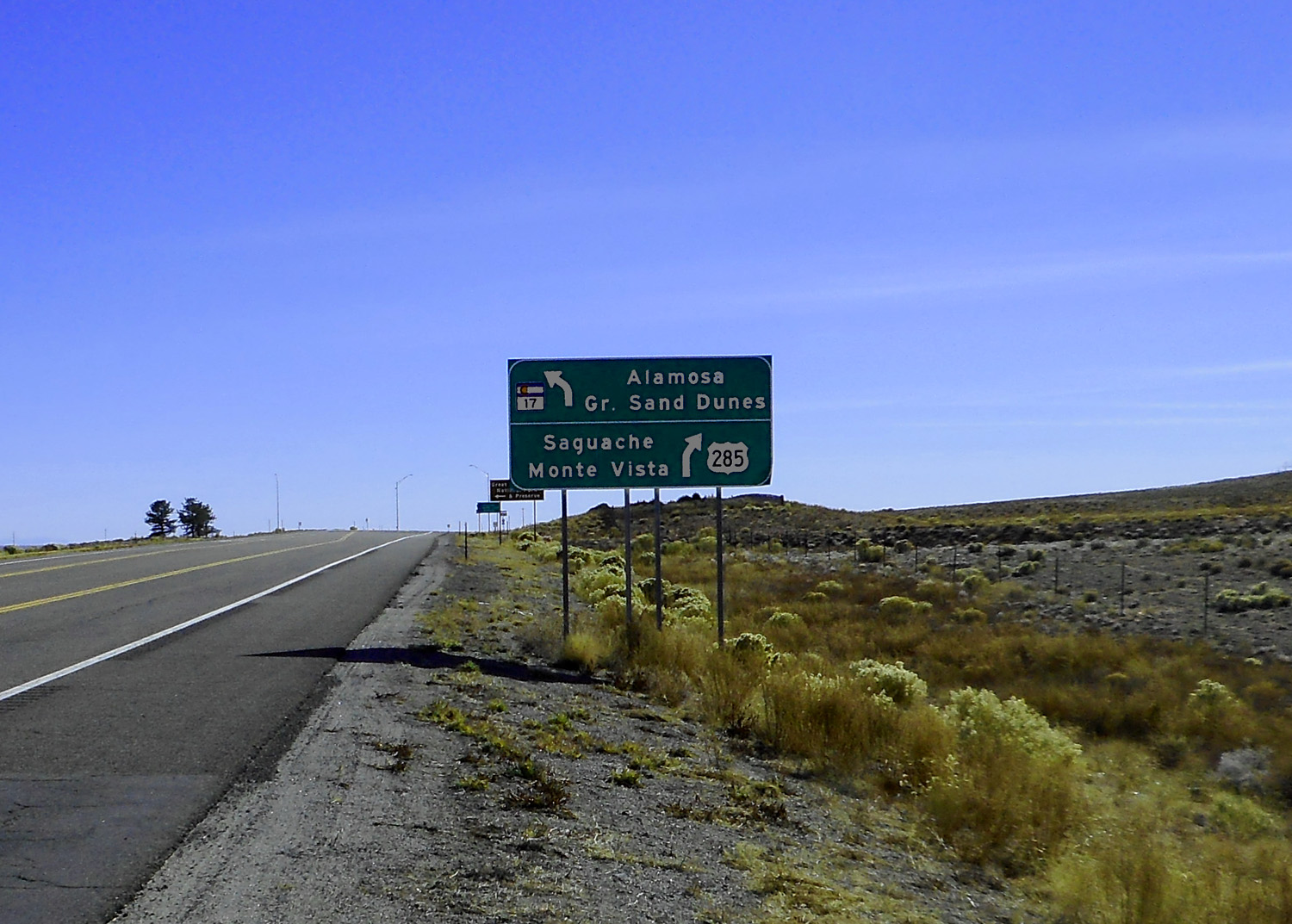
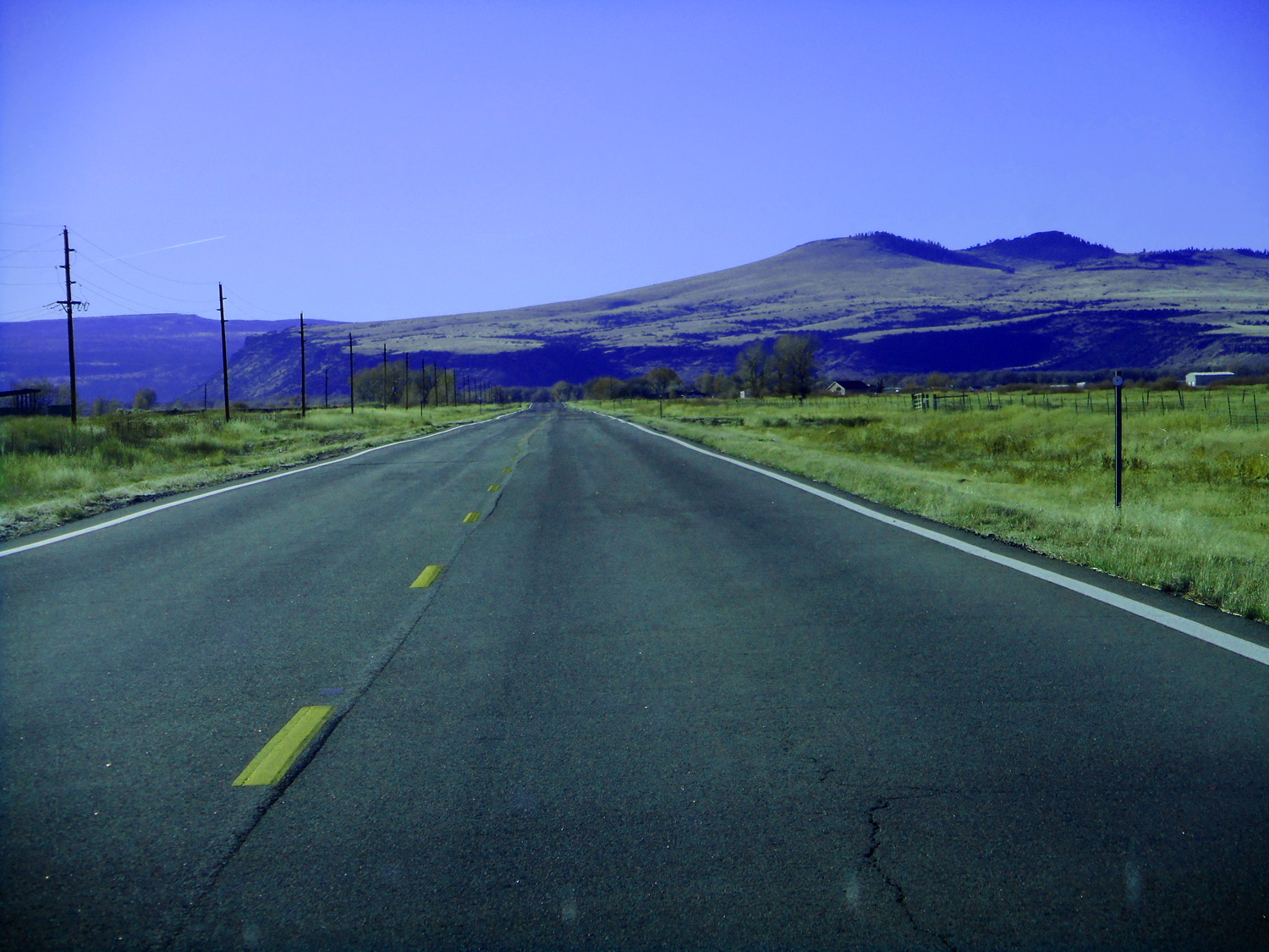
Leaving US 285 left on CO 17
Nov 12 2121 - 2:22 pm
Nov 12 2121 - 2:22 pm
8 / 37
Northern Sangre de Chisto Range in the late afternoon sun looking south from CO 17
Nov 13 2121 - 5:18 pm
Nov 13 2121 - 5:18 pm
9 / 37
Crestone Group of five 14ers: Crestone Peak (14,294'), Crestone Needle (14,197'), Kit Carson Mountain (14,165'), Challenger Point (14,081'), and Humboldt Peak (14,064')
Nov 12 2121 - 2:45 pm
Nov 12 2121 - 2:45 pm
10 / 37
Closer
Nov 12 2121 - 2:41 pm
Nov 12 2121 - 2:41 pm
11 / 37
Even closer: Kit Carson Mountain (left) and Crestone Peak (right)
Nov 12 2121 - 2:41 pm
Nov 12 2121 - 2:41 pm
12 / 37
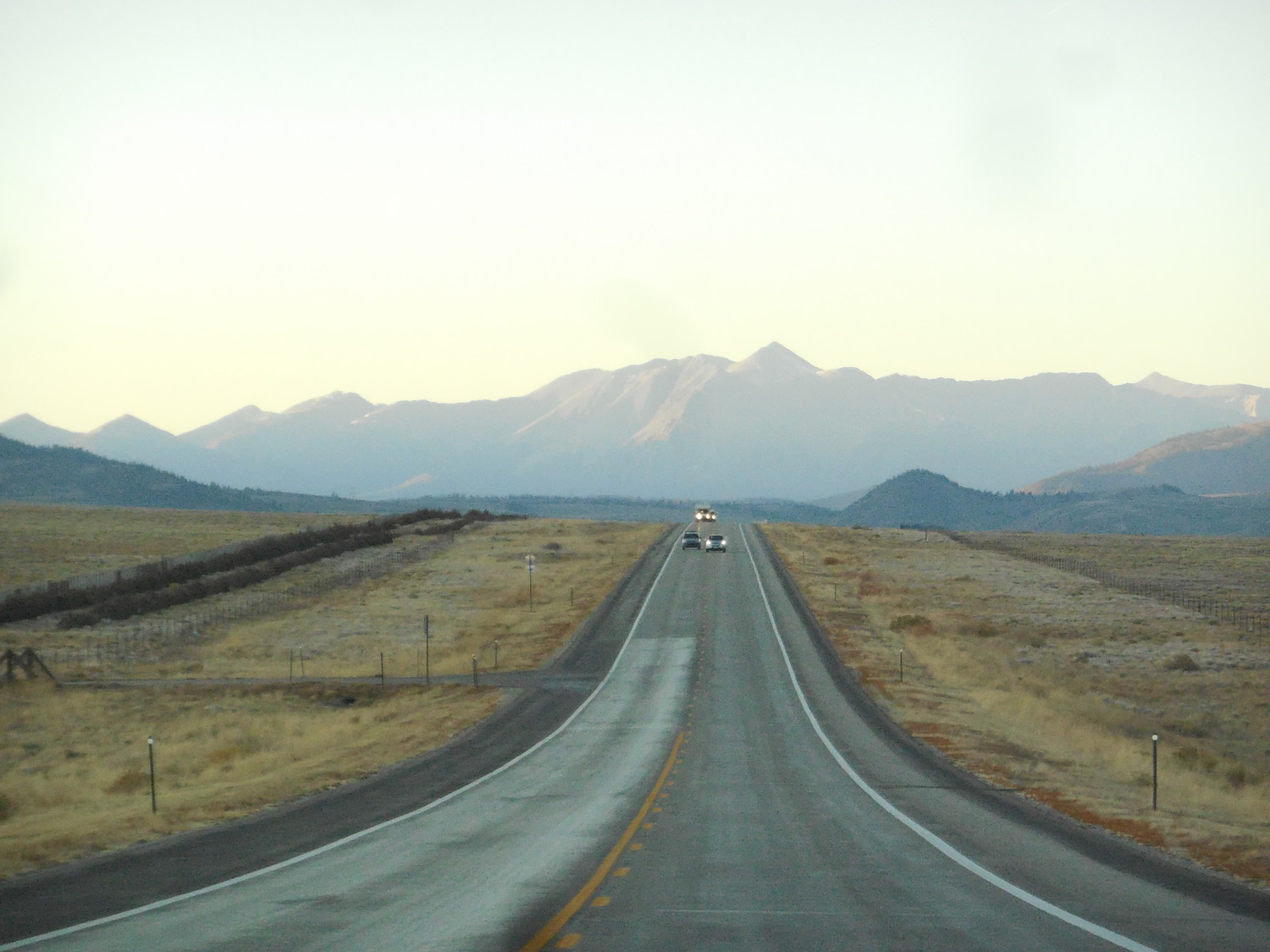
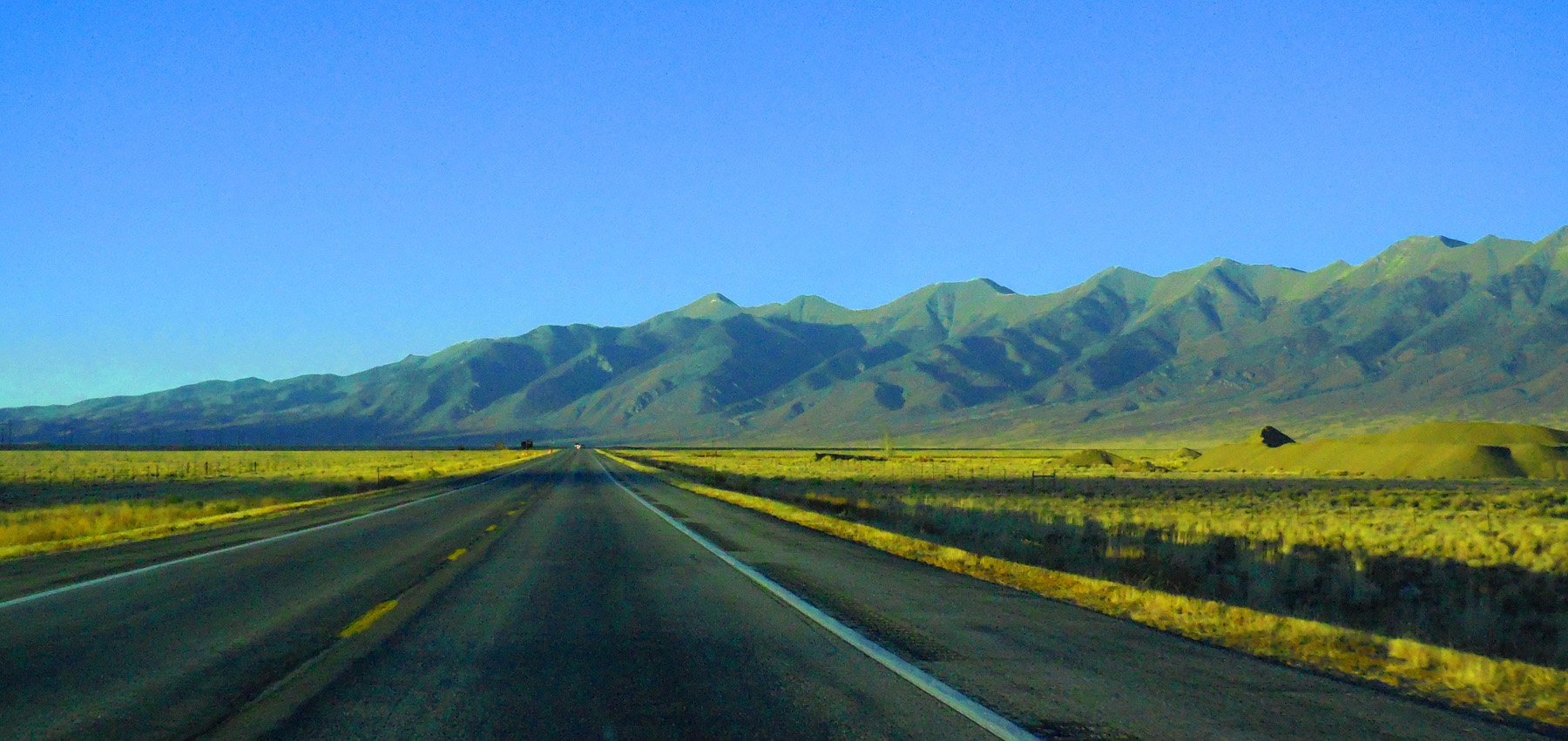
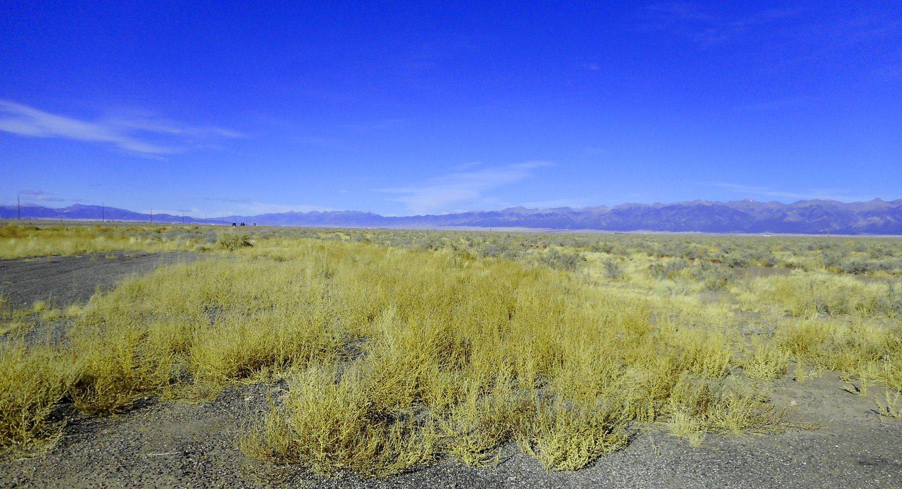
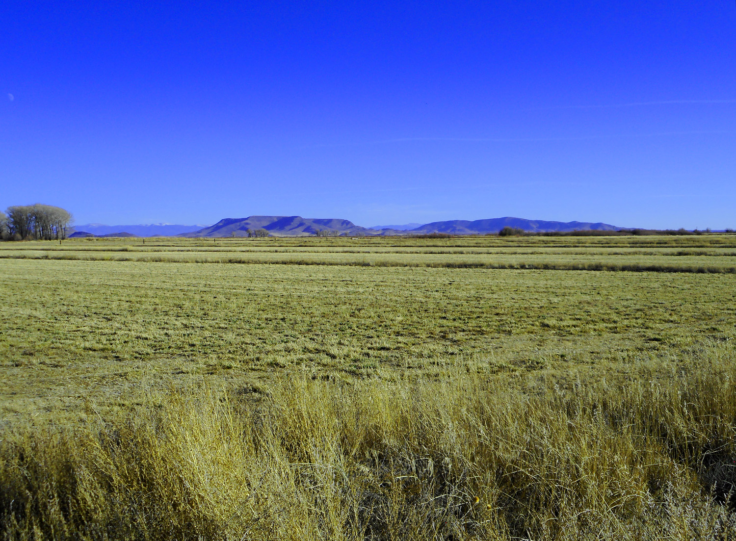
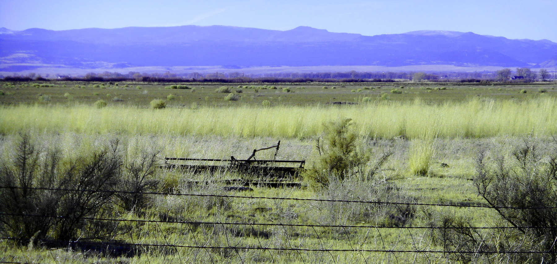
CO 17 straight as an arrow for 48 miles
Nov 12 2121 - 2:38 pm
Nov 12 2121 - 2:38 pm
13 / 37
Blanca Peak Group cradling Great Sand Dunes National Park (left)
Nov 12 2121 - 2:45 pm
Nov 12 2121 - 2:45 pm
14 / 37
Blanca Peak Group of four 14ers: Blanca Peak (14,351'), Ellingwood Point (14,048'), Mt. Lindsey (14,048') and Little Bear Peak (14,037')
Nov 12 2121 - 2:45 pm
Nov 12 2121 - 2:45 pm
15 / 37
Blanca Peak Group from just south of Alamosa (CO 17 joins US 285 from Alamosa south 29 miles to Antonito)
Nov 12 2121 - 3:06 pm
Nov 12 2121 - 3:06 pm
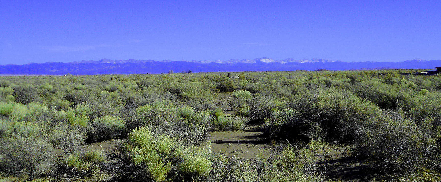
16 / 37
Colorado Sangre de Cristo Range from Culebra Range to Poncha Pass with San Juan Mountain volcanics creeping into San Luis Valley (left)
Nov 12 2121 - 2:54 pm
Nov 12 2121 - 2:54 pm
17 / 37
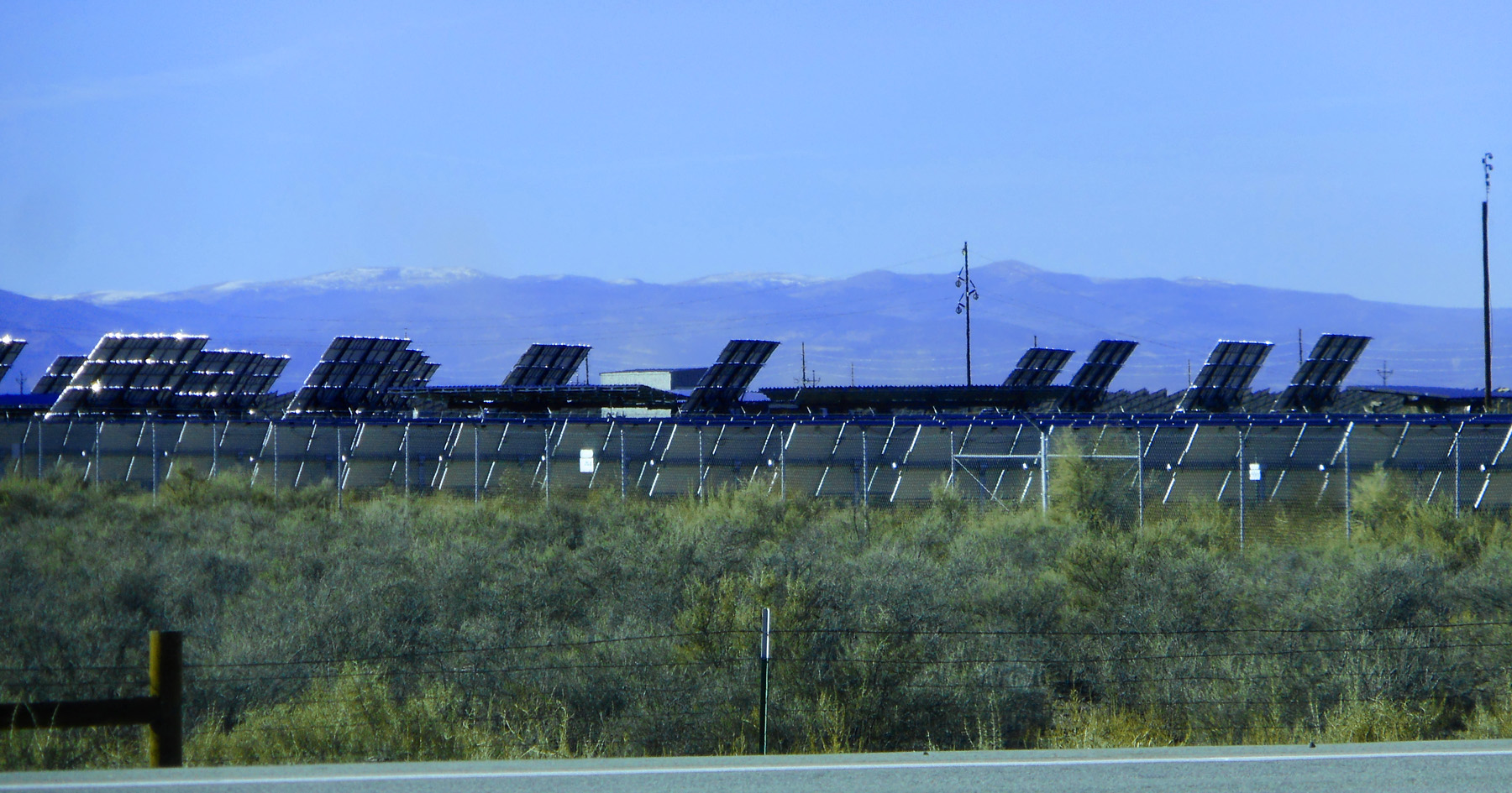
Solar farm facing southwest
Nov 12 2121 - 3:07 pm
Nov 12 2121 - 3:07 pm
18 / 37
Culebra Range of the Sangre de Cristo Mountains
Nov 12 2121 - 3:16 pm
Nov 12 2121 - 3:16 pm
19 / 37
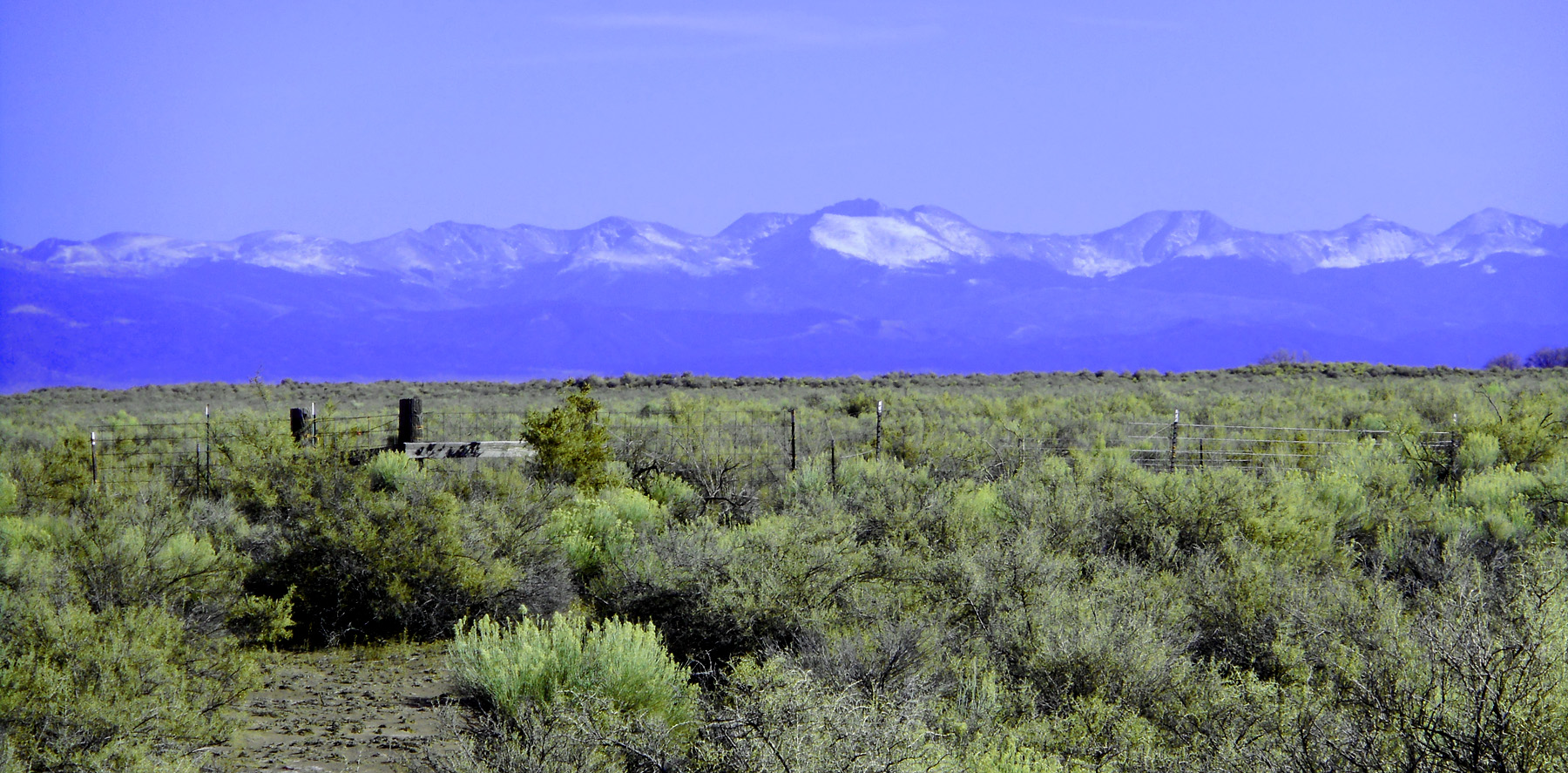
Culebra Peak (14,053') southernmost 14er, 10th of the Sangres
Nov 12 2121 - 3:16 pm
Nov 12 2121 - 3:16 pm
20 / 37
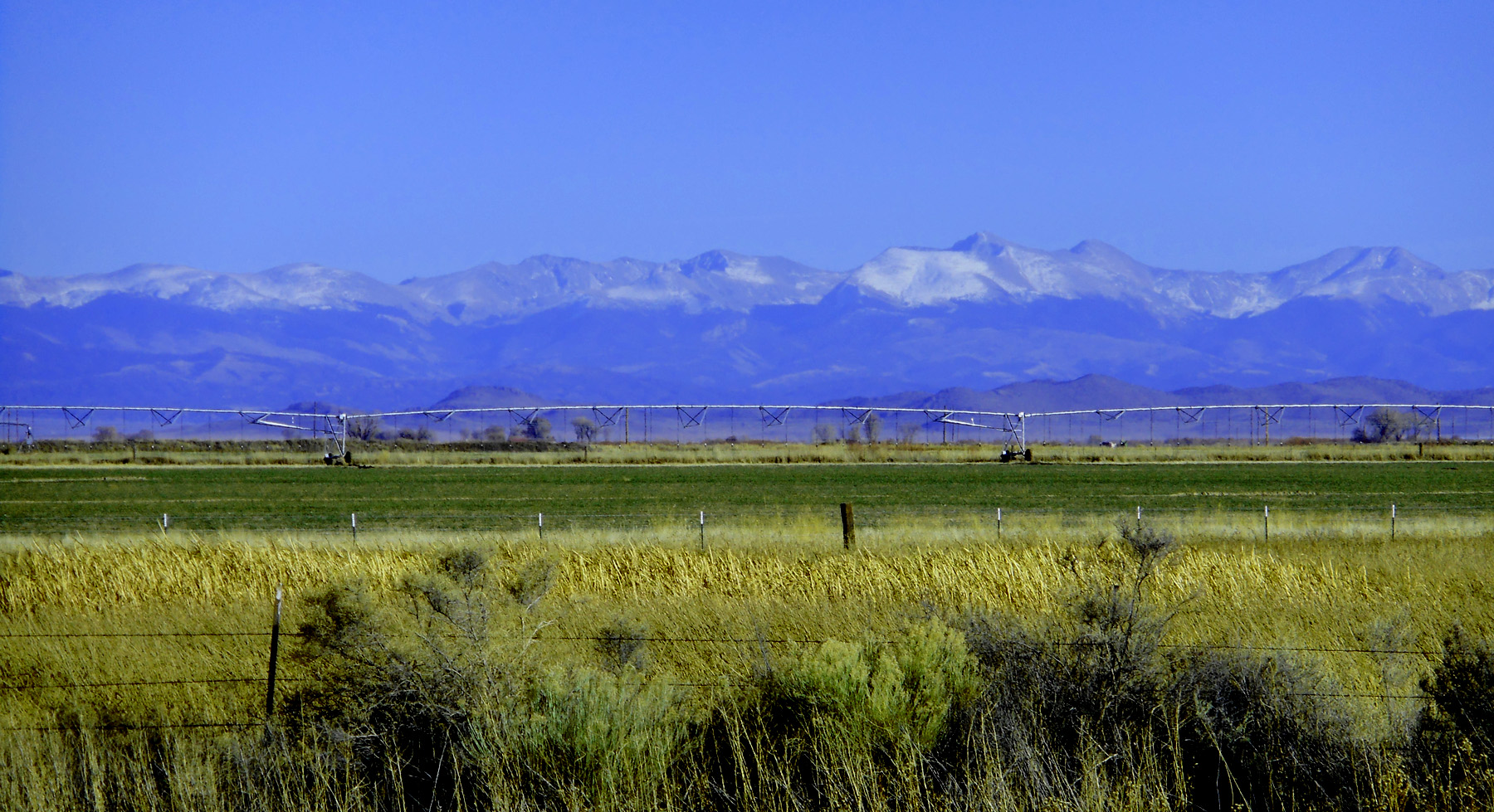
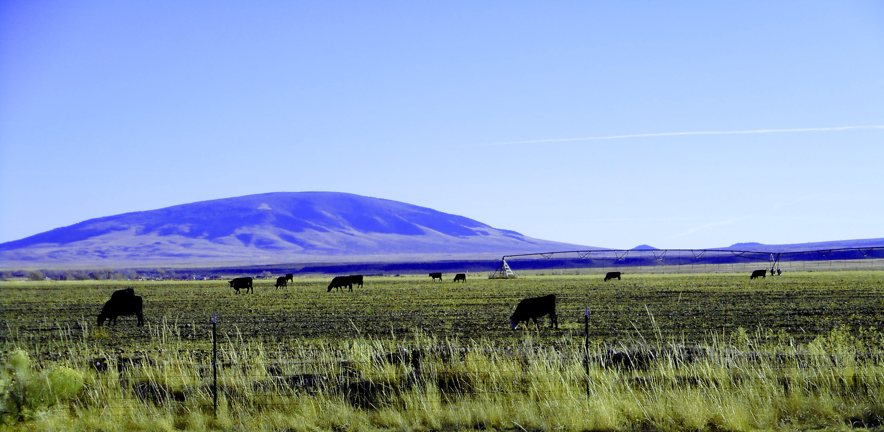
Culebra Peak over irrigated hay field
Nov 12 2121 - 3:47 pm
Nov 12 2121 - 3:47 pm
21 / 37
San Juan Mountain Lava Flowing into San Luis Valley south of Alamosa
Nov 12 2121 - 3:51 pm
Nov 12 2121 - 3:51 pm
22 / 37
San Antonio Mountain (10,908') a basalt shield volcano in New Mexico
Nov 12 2121 - 4:20 pm
Nov 12 2121 - 4:20 pm
23 / 37
Telephoto of Blanca Peak
Nov 12 2121 - 3:56 pm
Nov 12 2121 - 3:56 pm
24 / 37
Basalt capped mesas at the north end of a basalt field that extends into New Mexico along the Rio Grande Rift
Nov 12 2121 - 3:56 pm
Nov 12 2121 - 3:56 pm
25 / 37
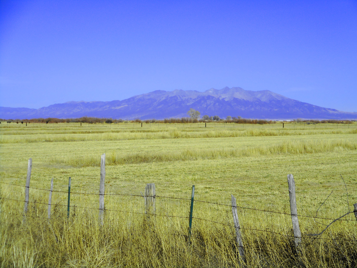
San Luis Valley hay field in front of the San Juan Mountains
Nov 12 2121 - 4:06 pm
Nov 12 2121 - 4:06 pm
26 / 37
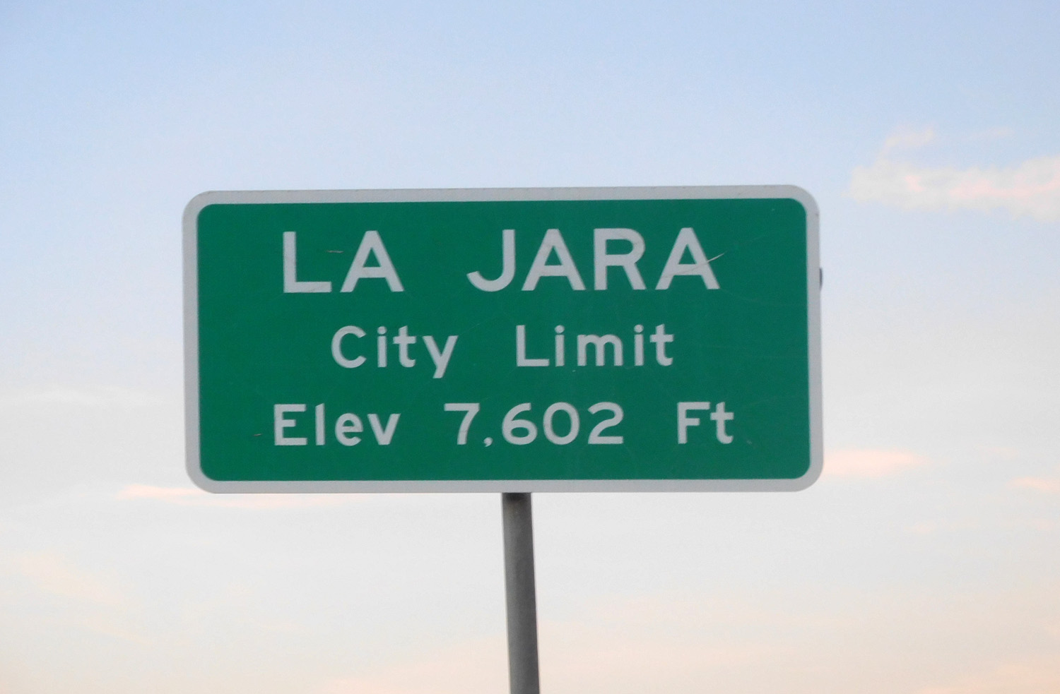
La Jara, CO
Nov 12 2121 - 5:58 pm
Nov 12 2121 - 5:58 pm
27 / 37
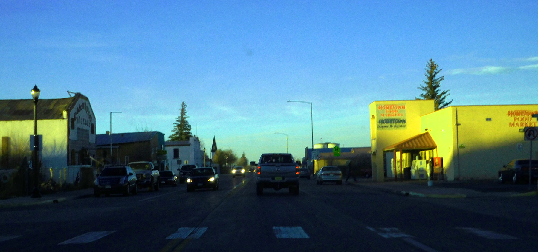
Antonito, CO
Nov 12 2121 - 5:39 pm
Nov 12 2121 - 5:39 pm
28 / 37
Basalt capped cinder cone
Nov 12 2121 - 4:21 pm
Nov 12 2121 - 4:21 pm
29 / 37
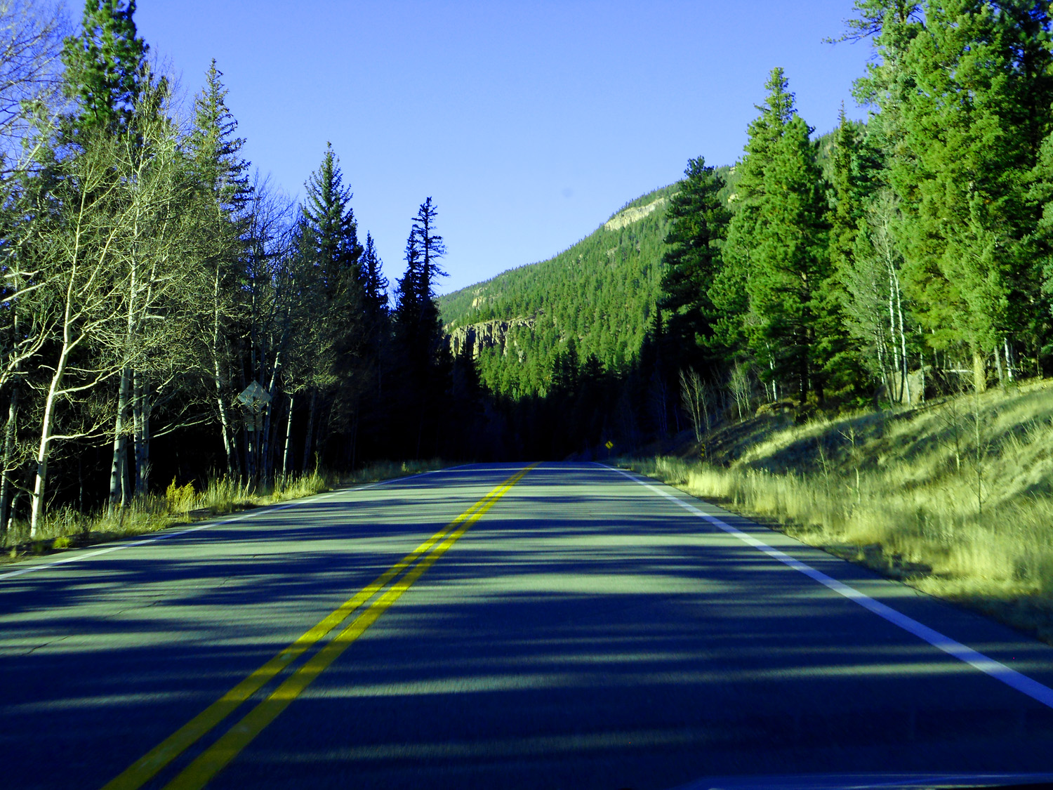
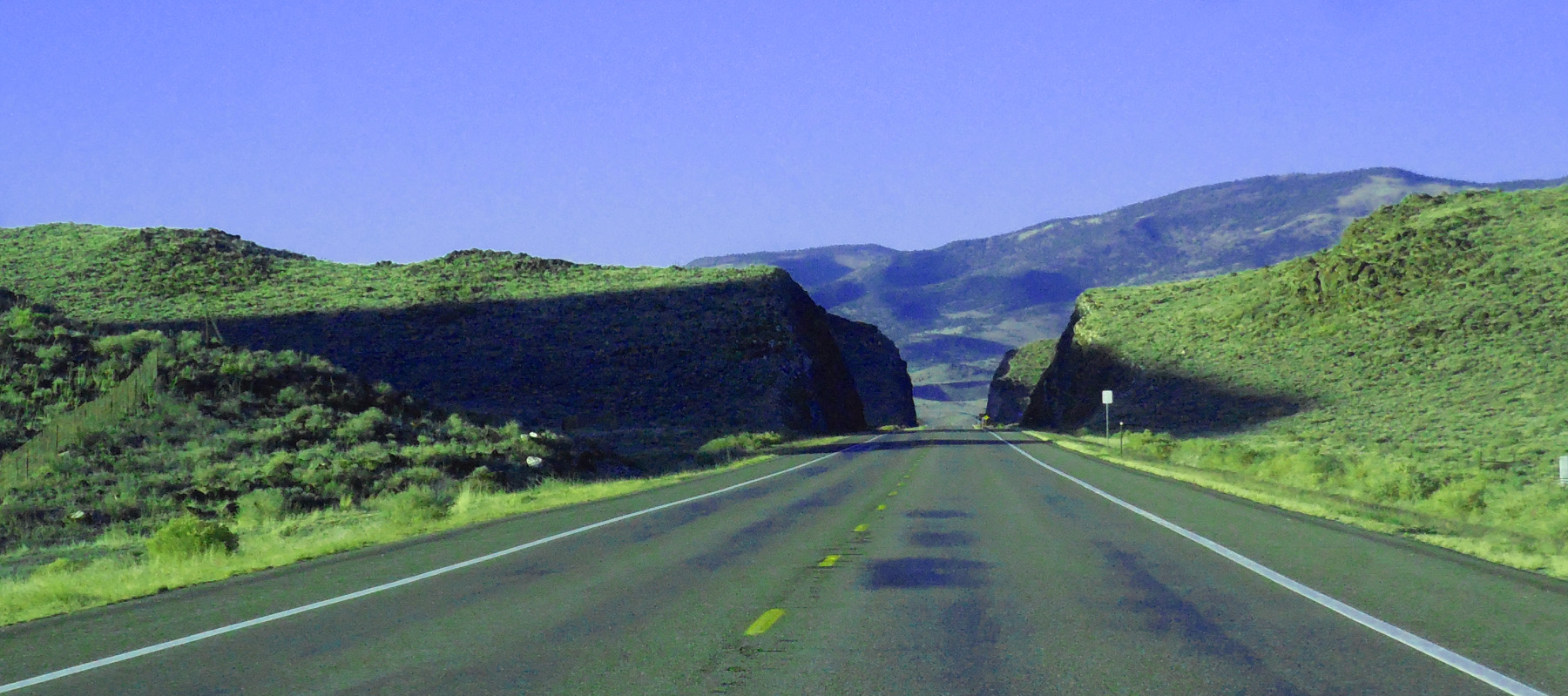
Entering the San Juan Mountains
Nov 12 2121 - 4:42 pm
Nov 12 2121 - 4:42 pm
30 / 37
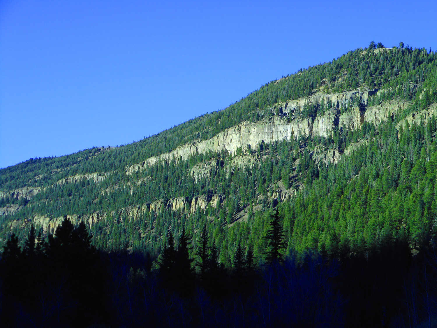
Densely welded ash cliffs separated by forested ash fall layers
Nov 12 2121 - 4:44 pm
Nov 12 2121 - 4:44 pm
31 / 37
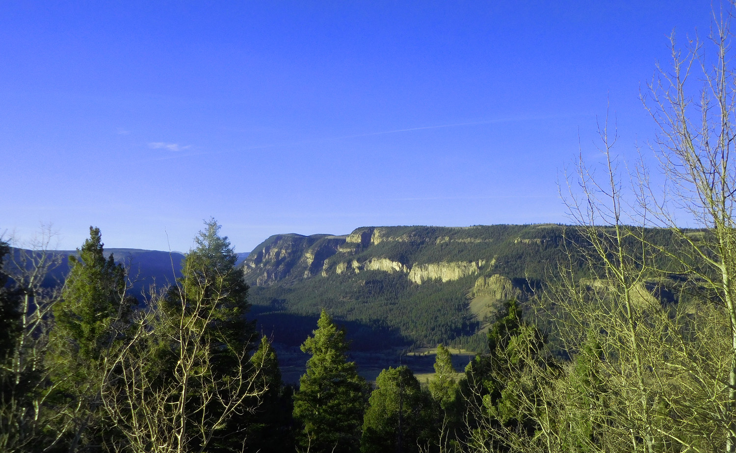
Conejos Valley
Nov 12 2121 - 5:07 pm
Nov 12 2121 - 5:07 pm
32 / 37
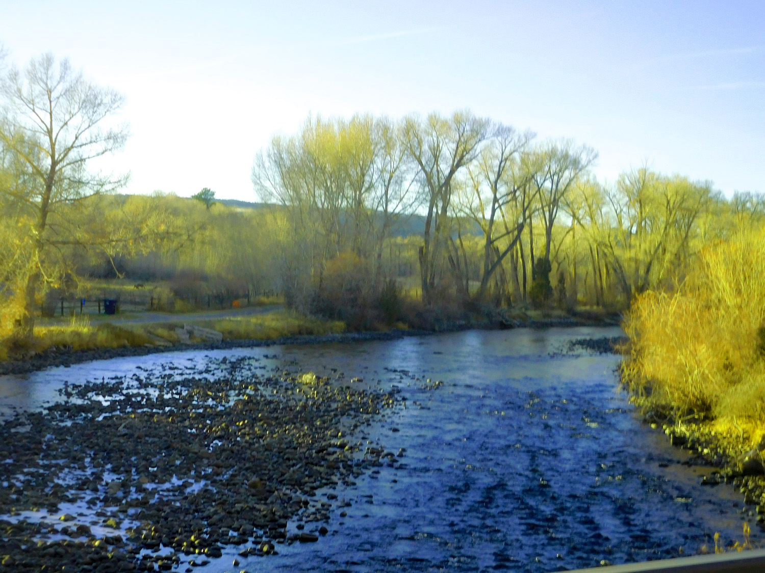
Conejos River
Nov 12 2121 - 5:24 pm
Nov 12 2121 - 5:24 pm
33 / 37
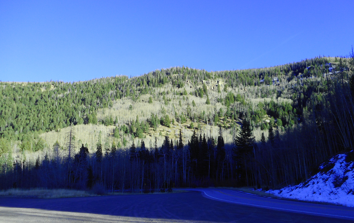
Aspen without leaves contrasts with the forest green
Nov 12 2121 - 4:52 pm
Nov 12 2121 - 4:52 pm
34 / 37
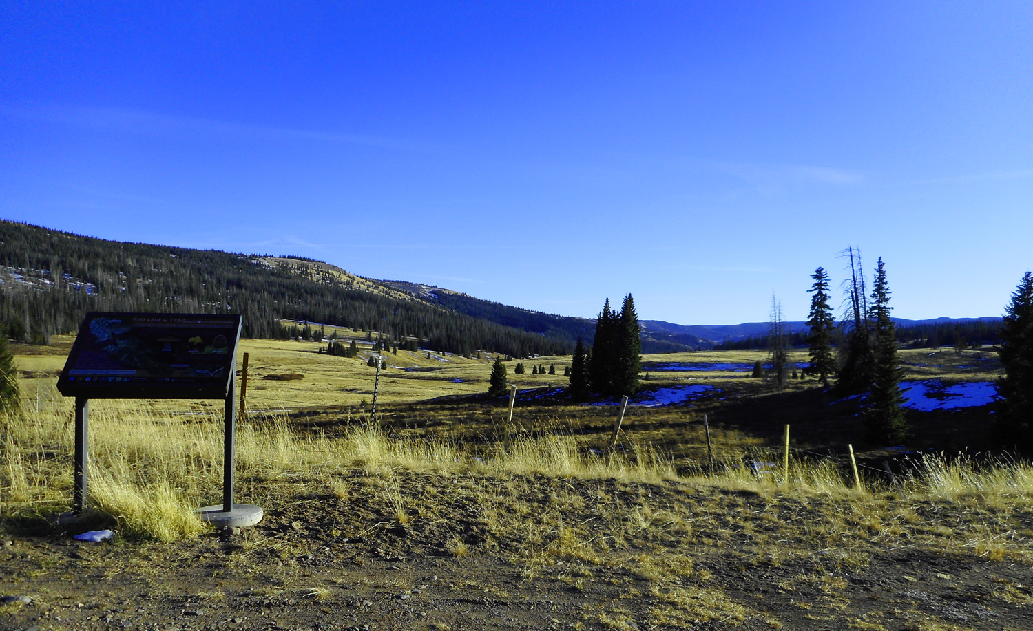
Conejos River headwaters (next slide is a barely legible sign at left)
Nov 12 2121 - 4:58 pm
Nov 12 2121 - 4:58 pm
35 / 37
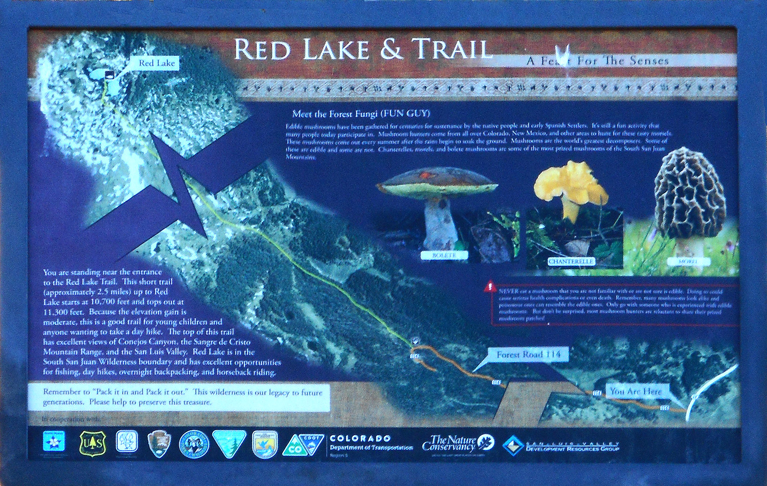
Road Sign
Nov 12 2121 - 4:59 pm
Nov 12 2121 - 4:59 pm
36 / 37
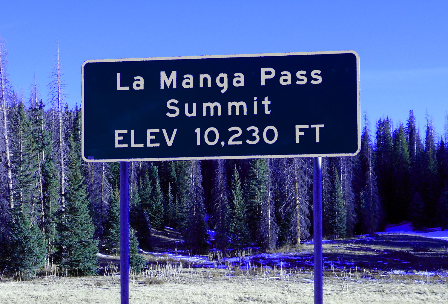
La Manga Pass (turn around point, 11 miles from the Colorado border with New Mexico)
Nov 12 2121 - 5:01 pm
Nov 12 2121 - 5:01 pm
37 / 37
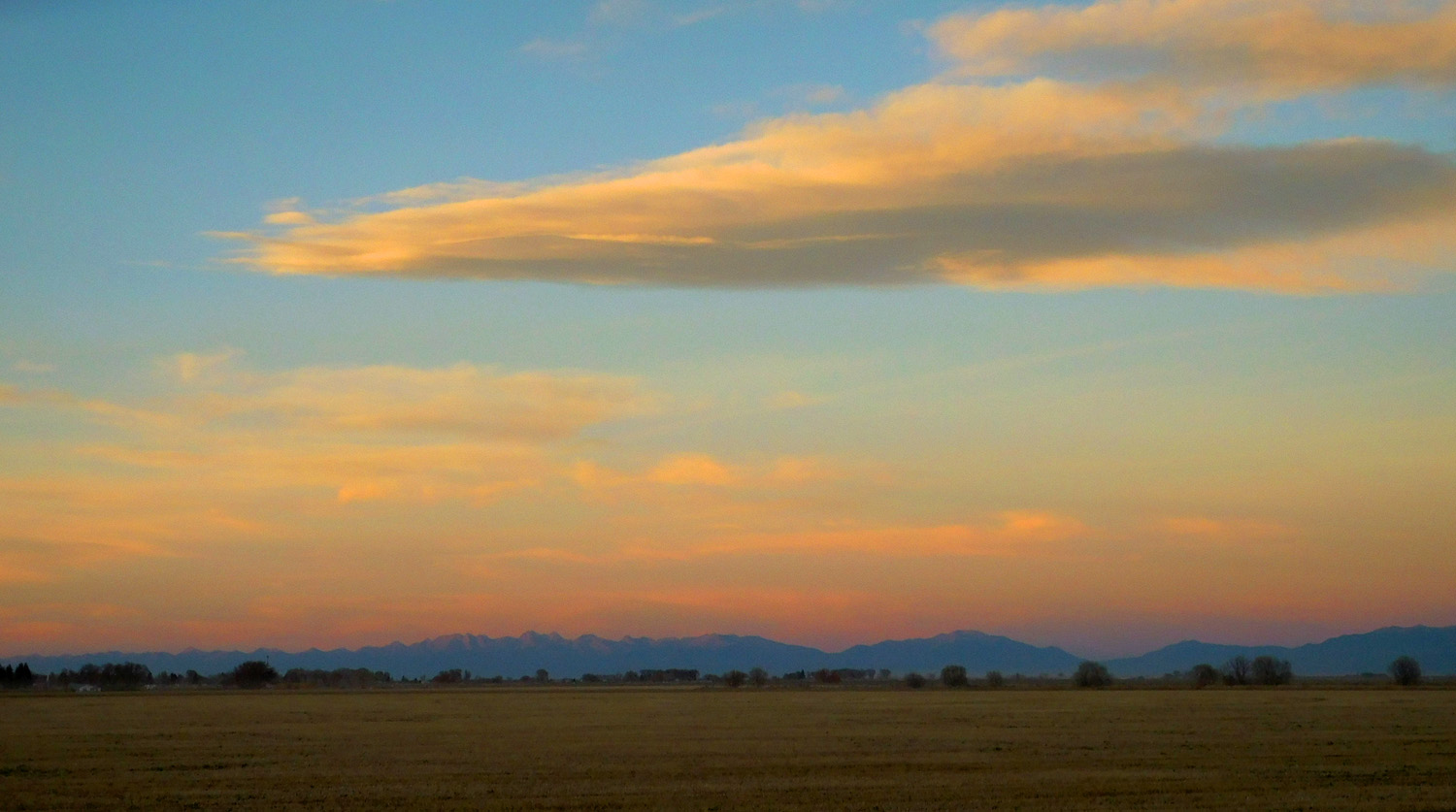
In time to catch the sunset in the east
Nov 12 2121 - 5:52 pm
Nov 12 2121 - 5:52 pm