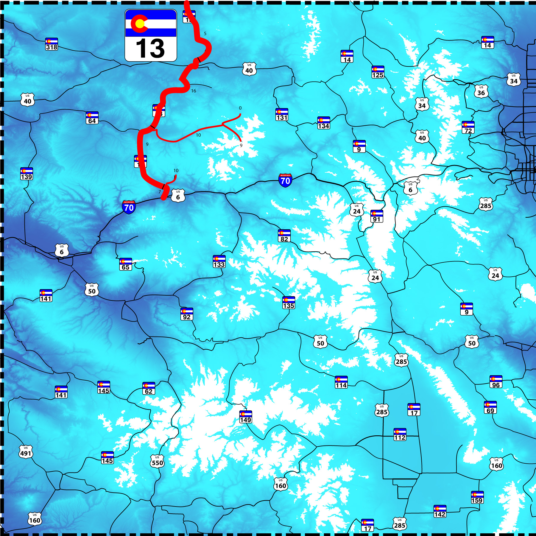
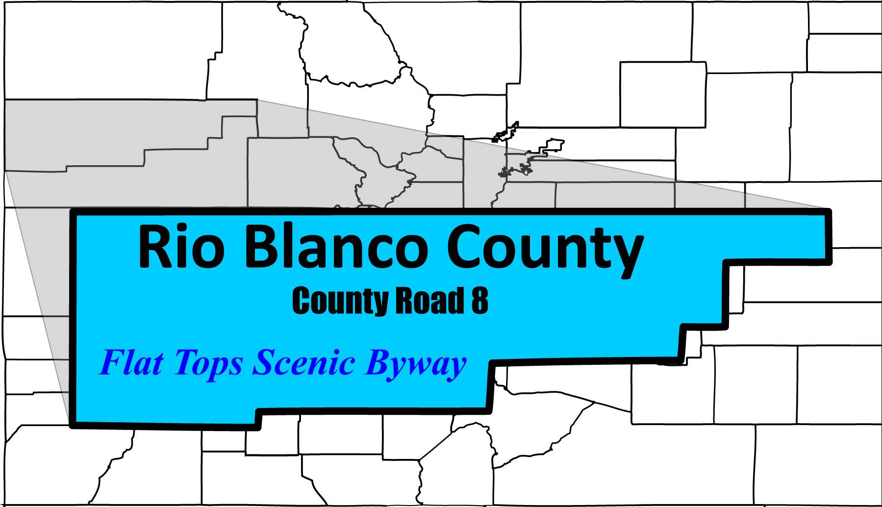
77 slides including 3 side roads (Flat Tops Scenic Byway, Trappers Lake Road, and Rifle Creek Roads)
Road Index or use your browser "back" arrow or function 10 second cycle: please choose another user-controlled 2 seconds 5 seconds 30 seconds 1 minute
1 / 77
2 / 77
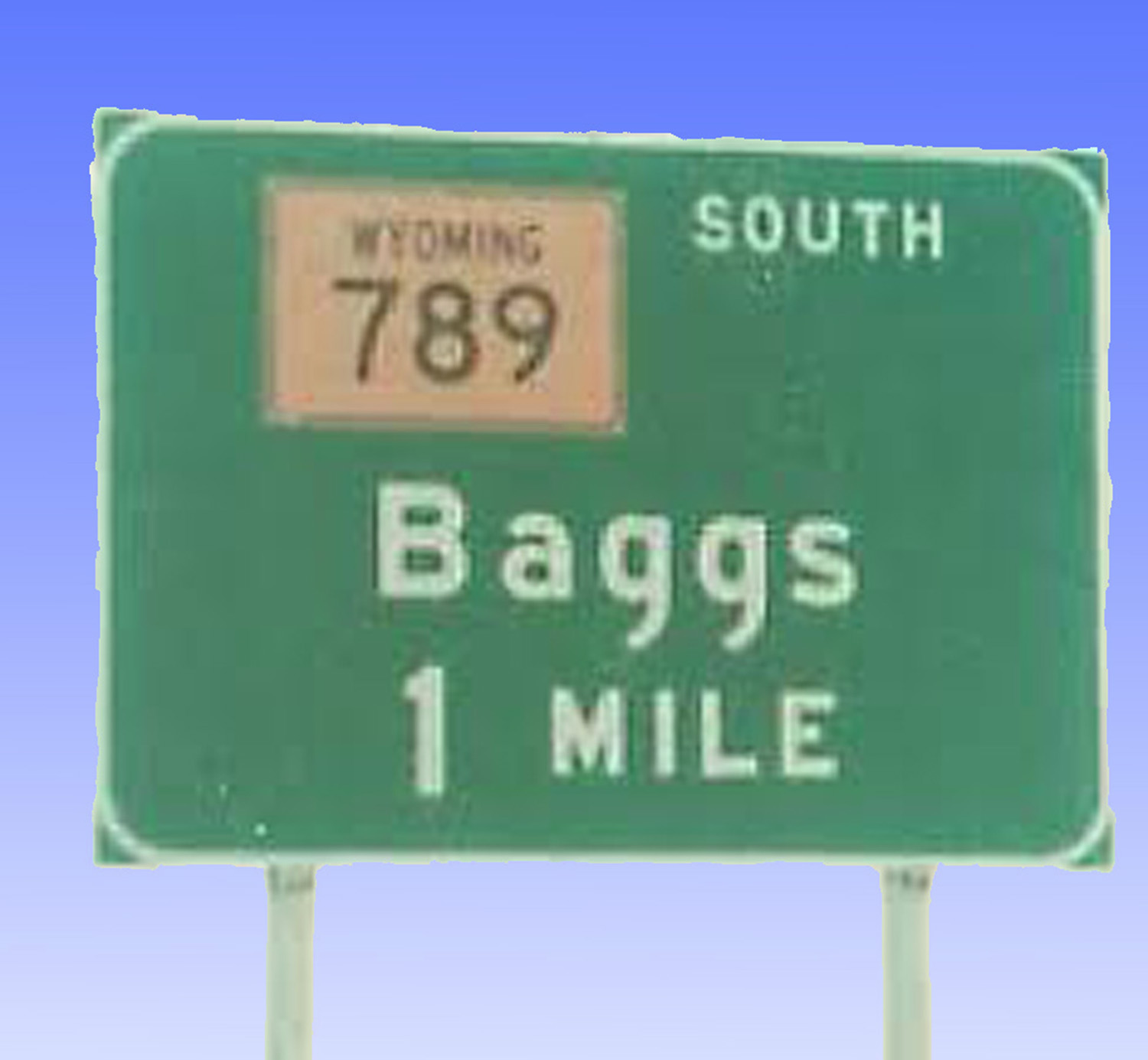
North end of CO 13, Baggs, WY exit, I 80 WY 789 extends CO 13 to I 80 in Wyoming
(image copied from Google Images: WY 789)
(image copied from Google Images: WY 789)
3 / 77
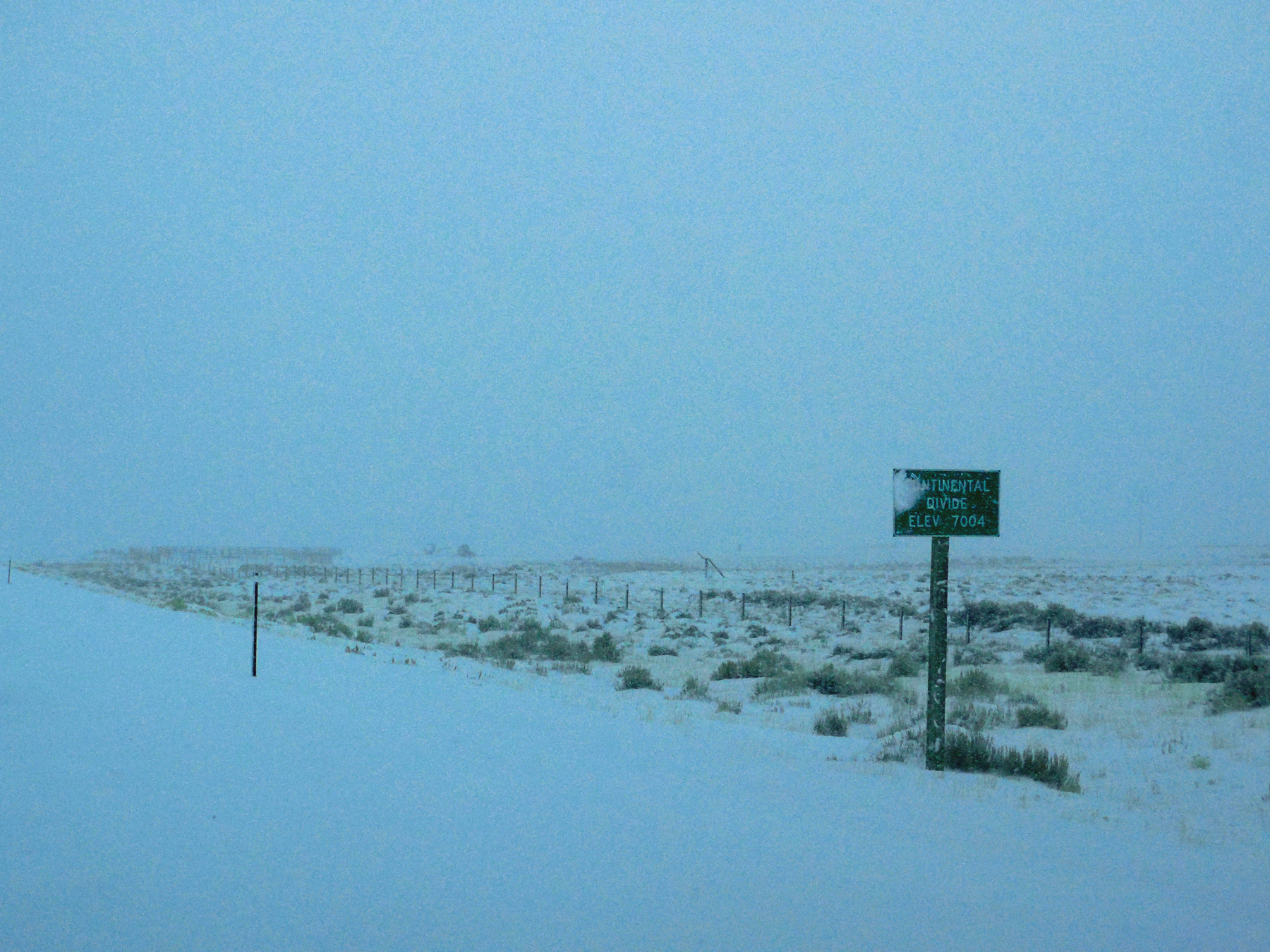
Continental divide (top of North America, the Great Wyoming Basin)
Jan 09 2017 - 12:16 pm
Jan 09 2017 - 12:16 pm
4 / 77

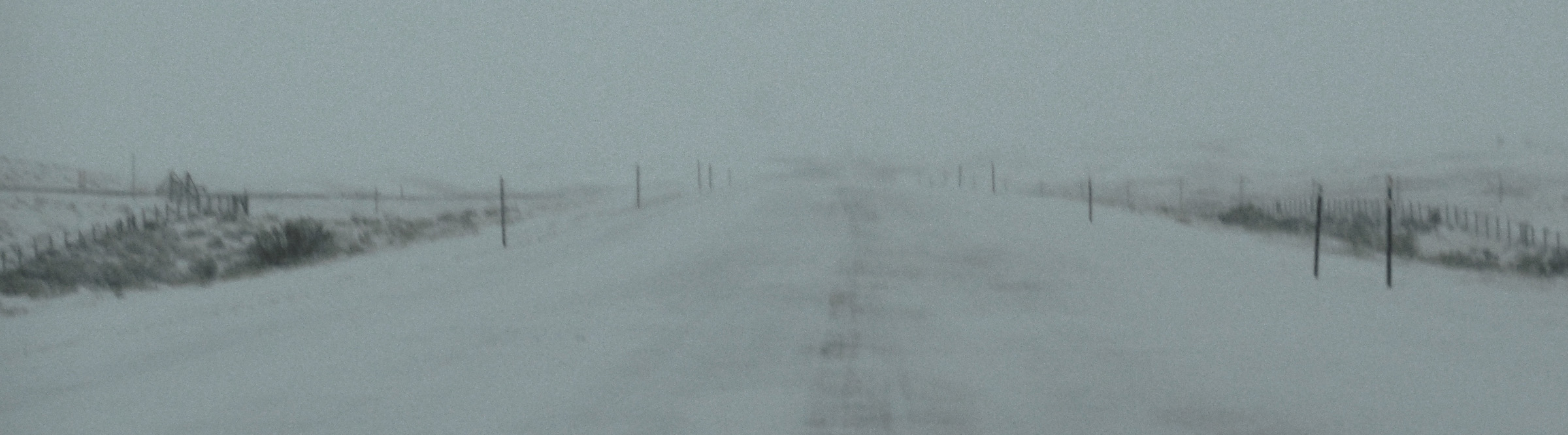
Whiteout! (5 MPH and guides are barely visible on each side of the road)
Jan 09 2017 - 12:22 pm
Jan 09 2017 - 12:22 pm
5 / 77
Clearing
Jan 09 2017 - 12:06 pm
Jan 09 2017 - 12:06 pm
6 / 77
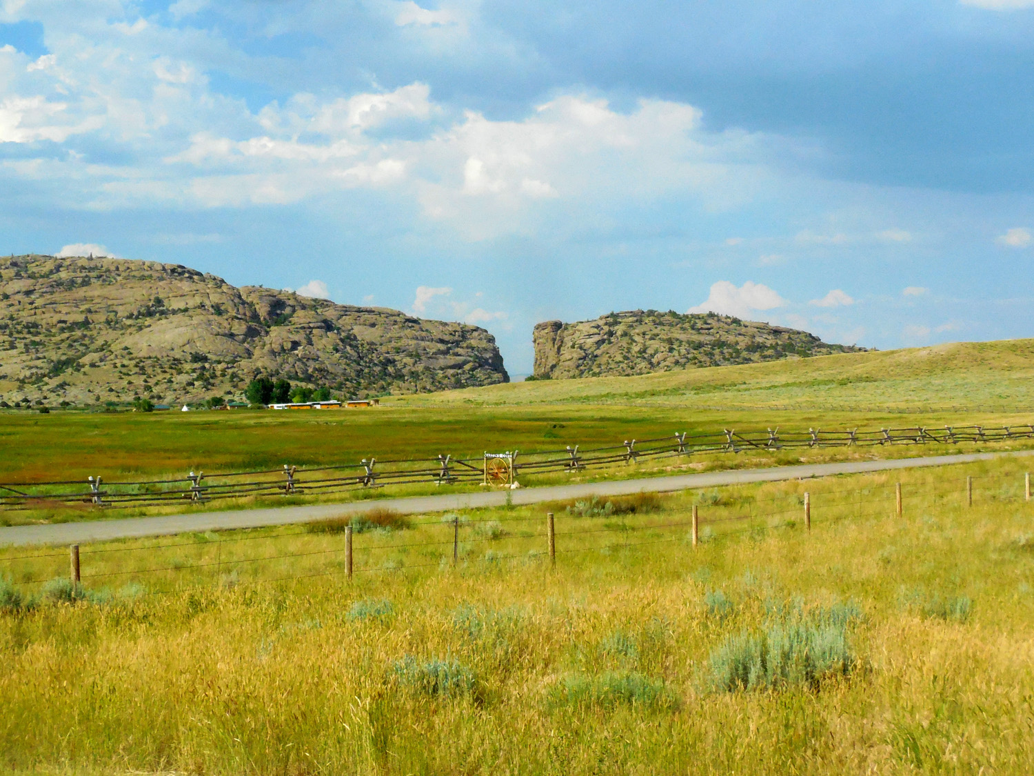
Devils Gate just across the border in Wyoming
Jul 12 2017 - 5:33 pm
Jul 12 2017 - 5:33 pm
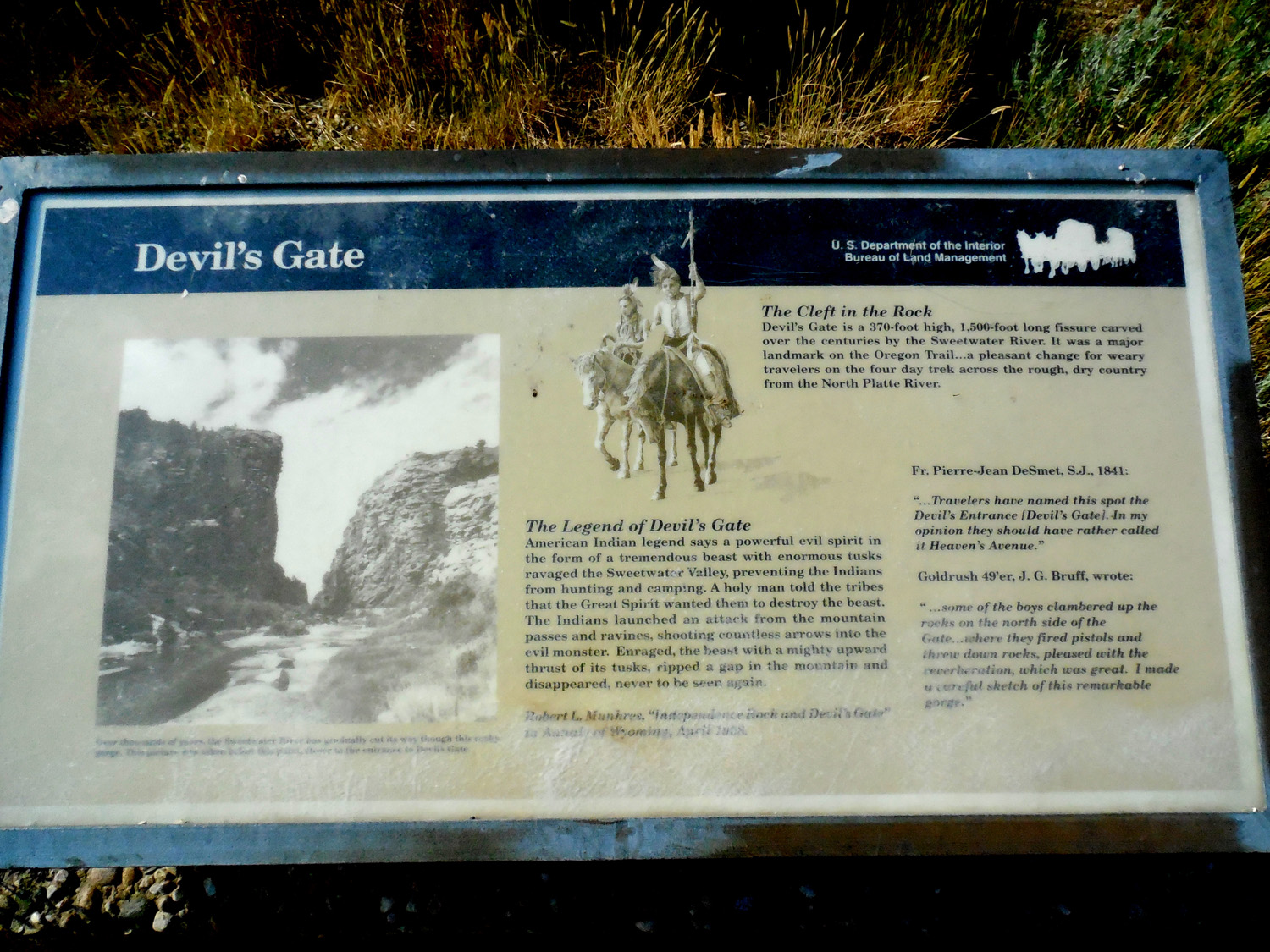
7 / 77
Jul 12 2017 - 5:41 pm
8 / 77
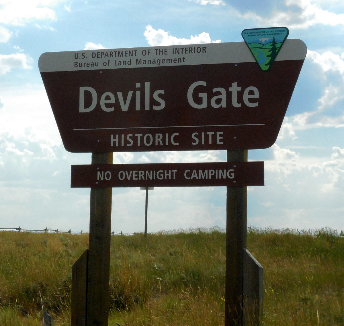
BLM Sign
Jul 12 2017 - 5:37 pm
Jul 12 2017 - 5:37 pm
9 / 77

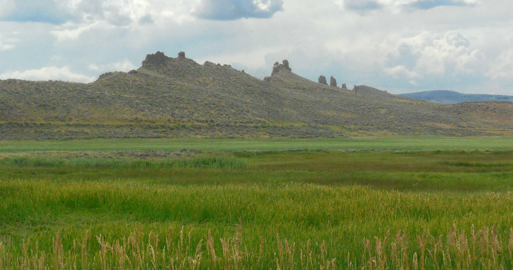
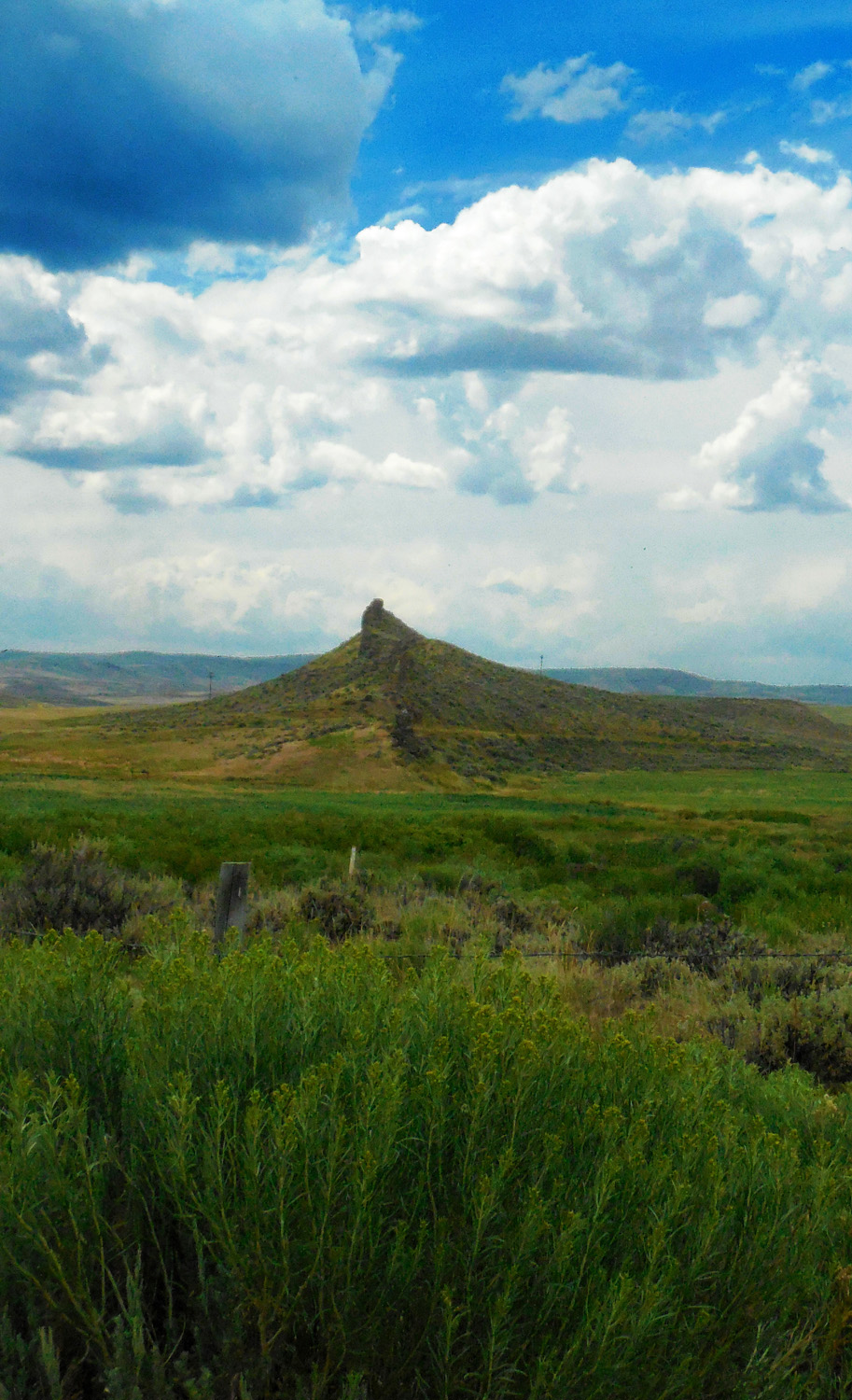
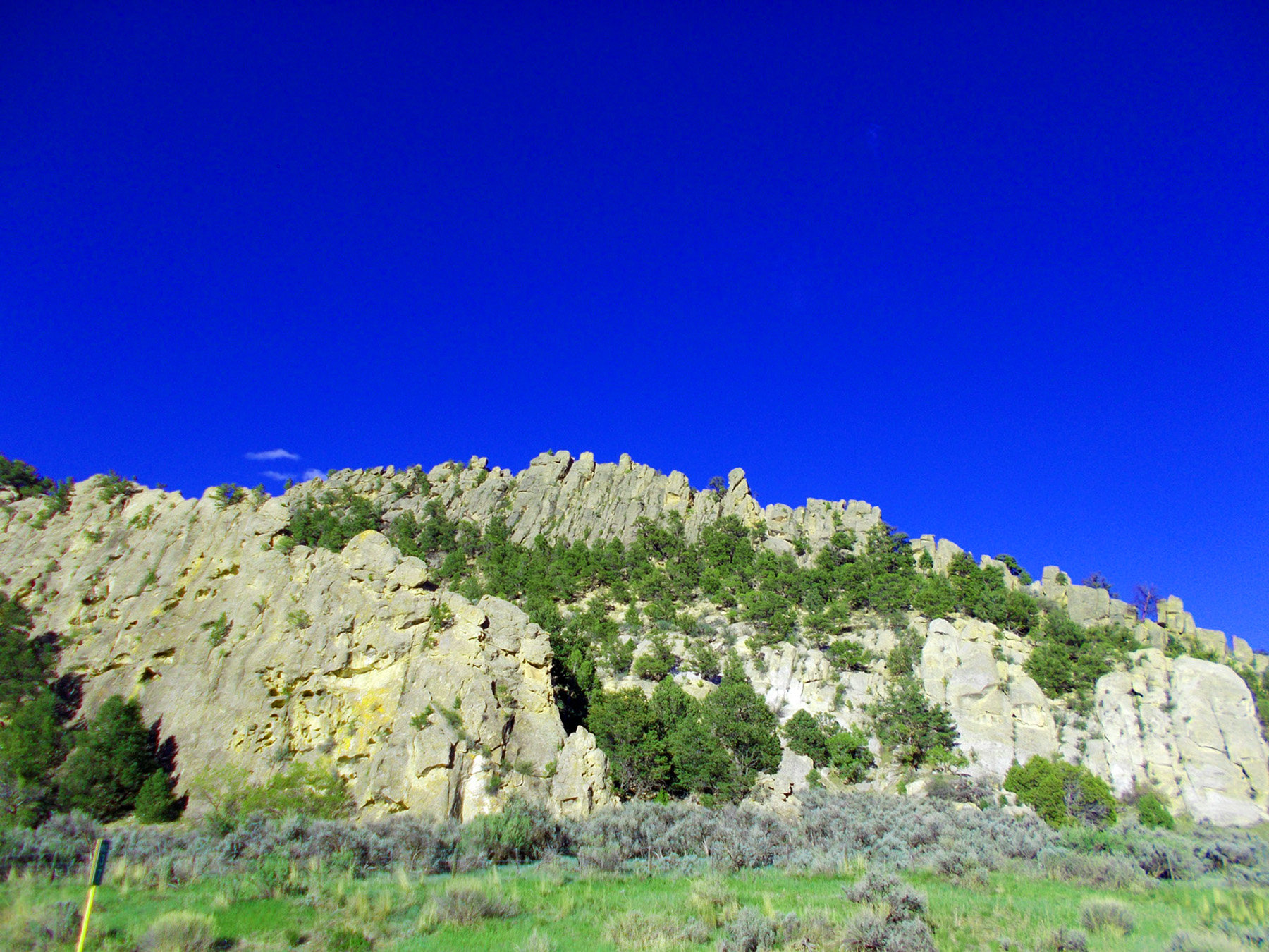
Fortification Rocks in Colorado
Jan 09 2017 - 11:10 am
Jan 09 2017 - 11:10 am
10 / 77
A volcanic dike
Jul 12 2017 - 3:11 pm
Jul 12 2017 - 3:11 pm
11 / 77
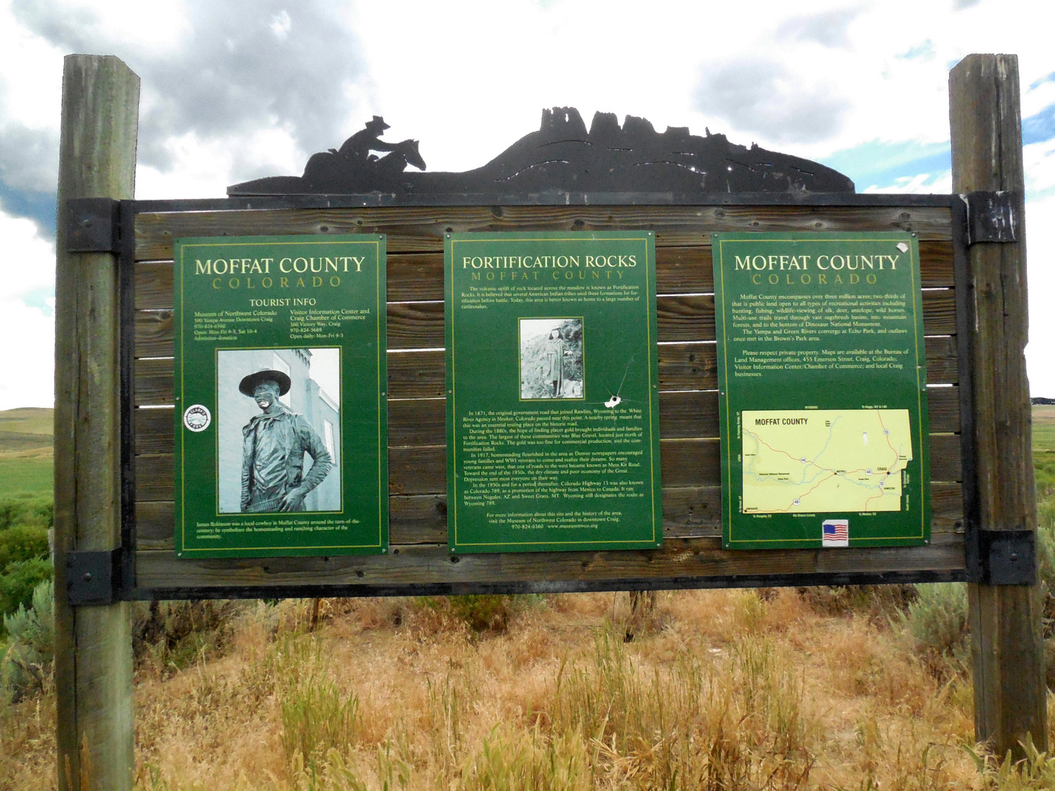
Moffat County Colorado Welcome Sign
Jul 12 2017 - 3:07 pm
Jul 12 2017 - 3:07 pm
12 / 77
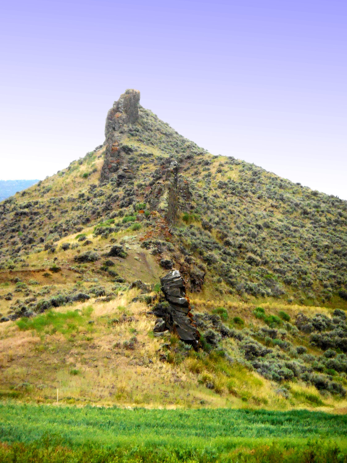
Volcanic dike head on
Jul 12 2017 - 3:09 pm
Jul 12 2017 - 3:09 pm
13 / 77
Telephoto
Jul 12 2017 - 3:09 pm
Jul 12 2017 - 3:09 pm
14 / 77
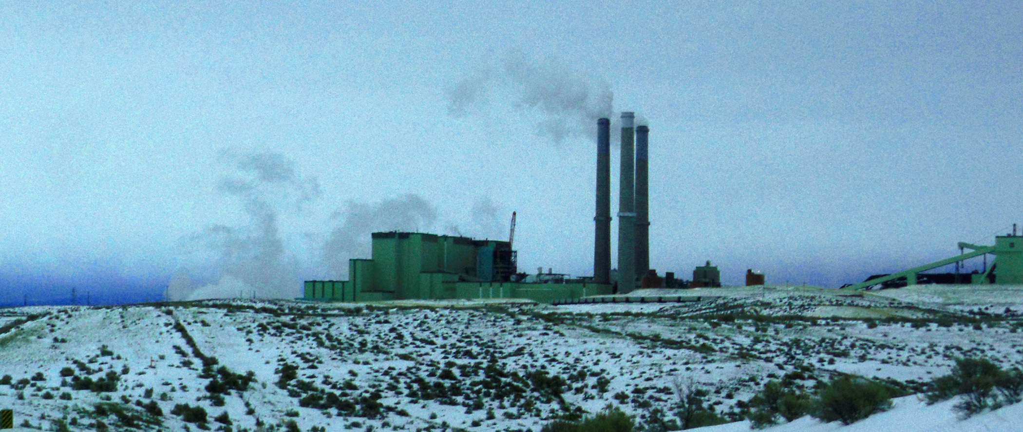
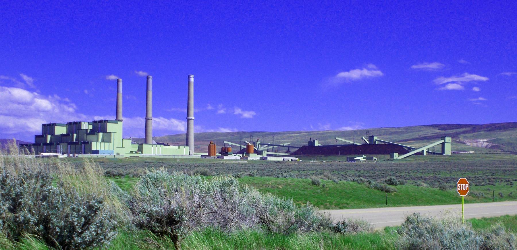
Coal Country
Jan 09 2017 - 10:38 am
Jan 09 2017 - 10:38 am
15 / 77
In May
May 20 2020 - 3:53 pm
May 20 2020 - 3:53 pm
16 / 77
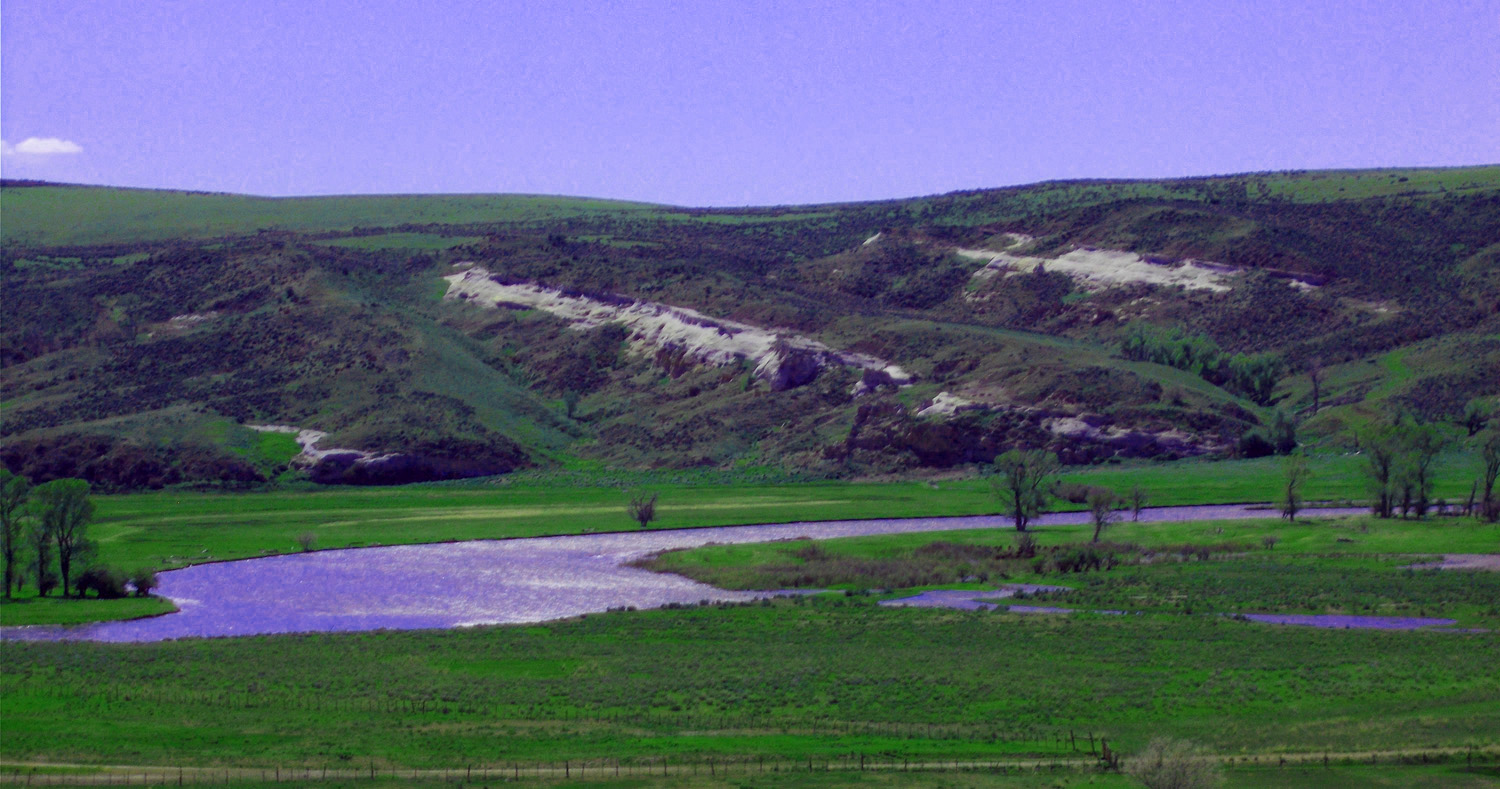
Yampa River flowing through the Mesa Verde Formation (source of coal)
May 20 2020 - 4:00 pm
May 20 2020 - 4:00 pm
17 / 77
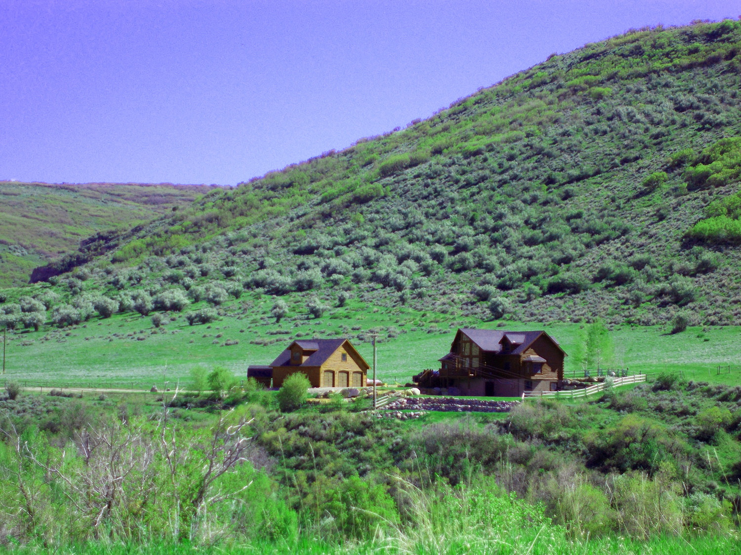
House in Williams Fork Mountains (Mesa Verde Formation called the Williams Fork Formation here and to the northeast)
May 20 2020 - 4:09 pm
May 20 2020 - 4:09 pm
18 / 77
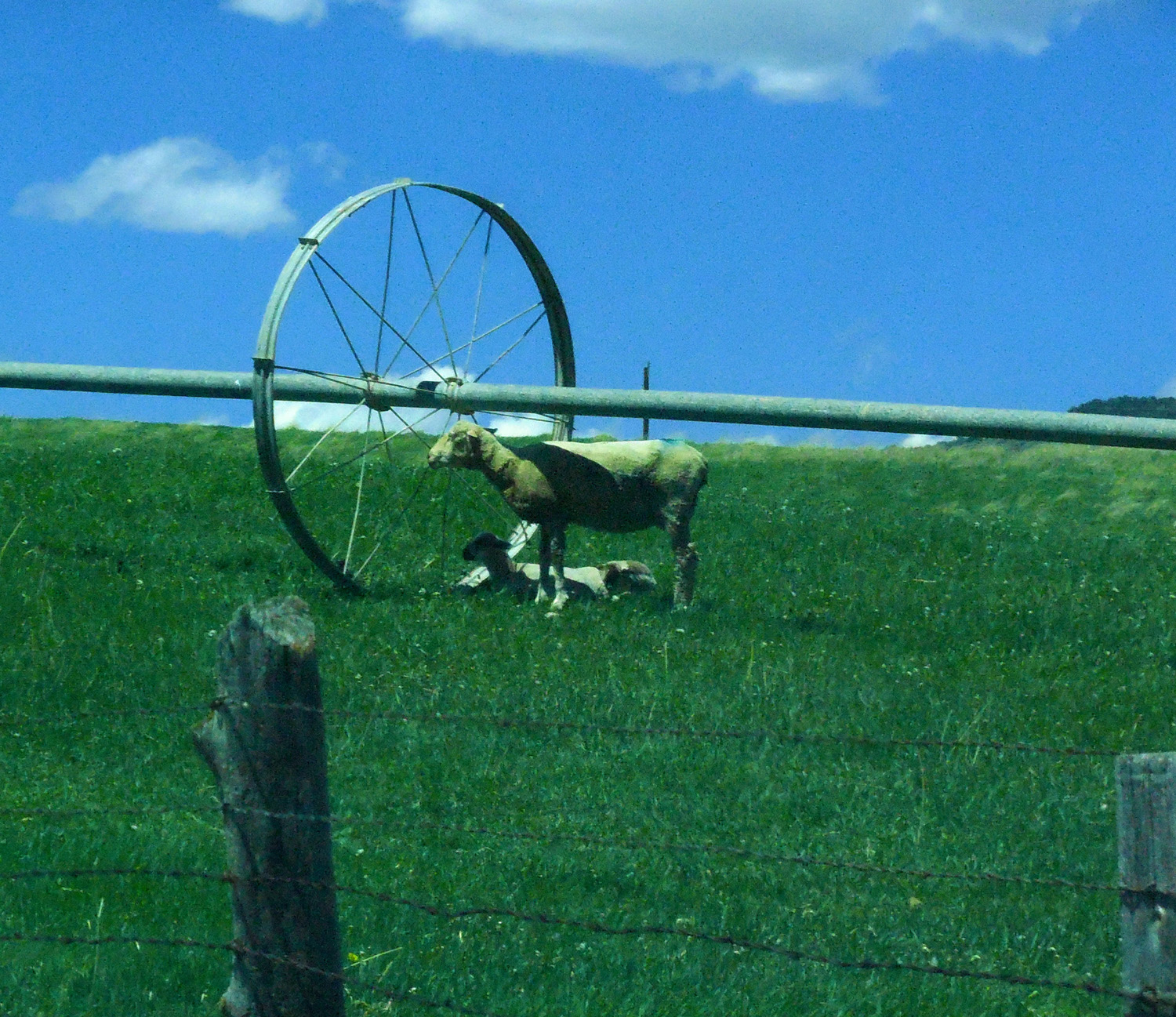
Freshly shorn sheep catching the maximum shade
May 13 2017 - 1:20 pm
May 13 2017 - 1:20 pm
19 / 77
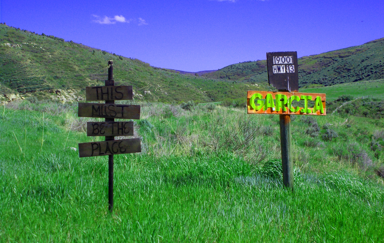
This Must Be The Place
May 20 2020 - 4:10 pm
May 20 2020 - 4:10 pm
20 / 77
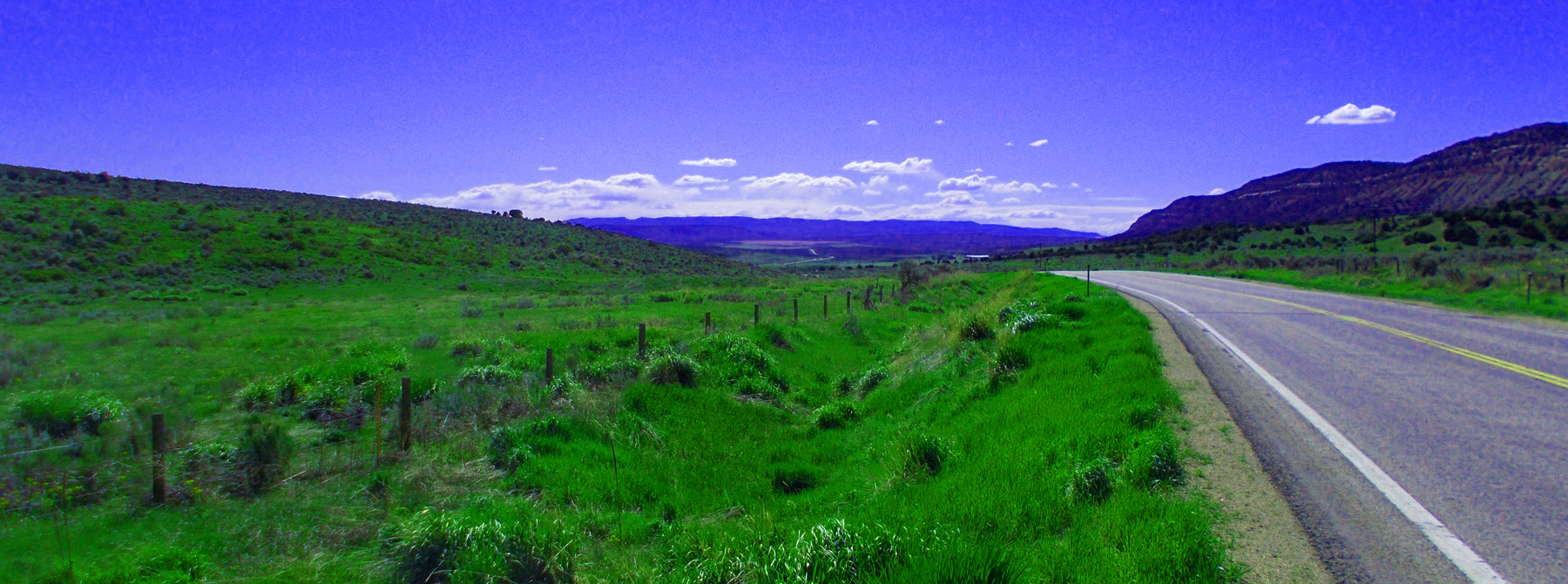
Long view
May 20 2020 - 4:26 pm
May 20 2020 - 4:26 pm
21 / 77
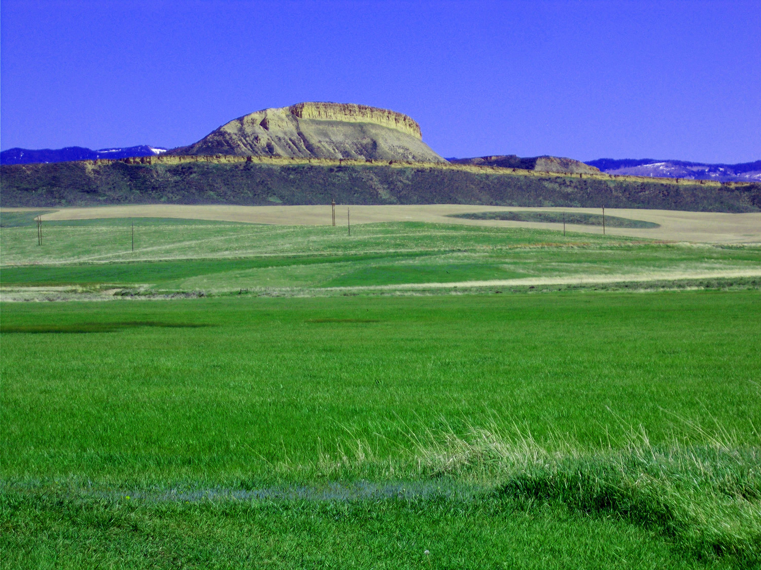
Mesa Verde capped hill (from top: Mesa Verde Sandstone, Mancos Shale, Dakota Sandstone, Morrsion Shale, and silt covered Entrada Sandstone bench)
May 20 2020 - 4:31 pm
May 20 2020 - 4:31 pm
22 / 77
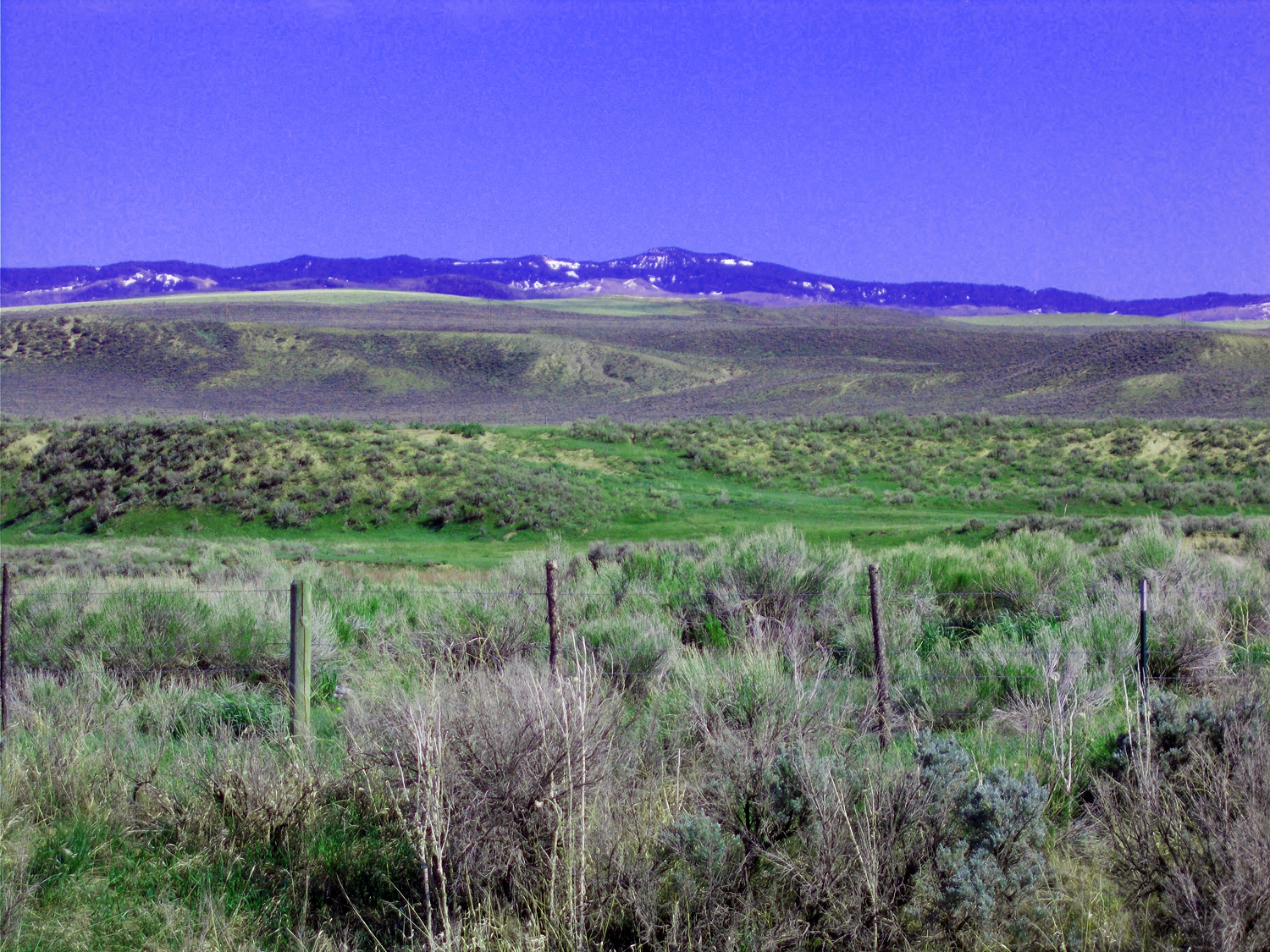
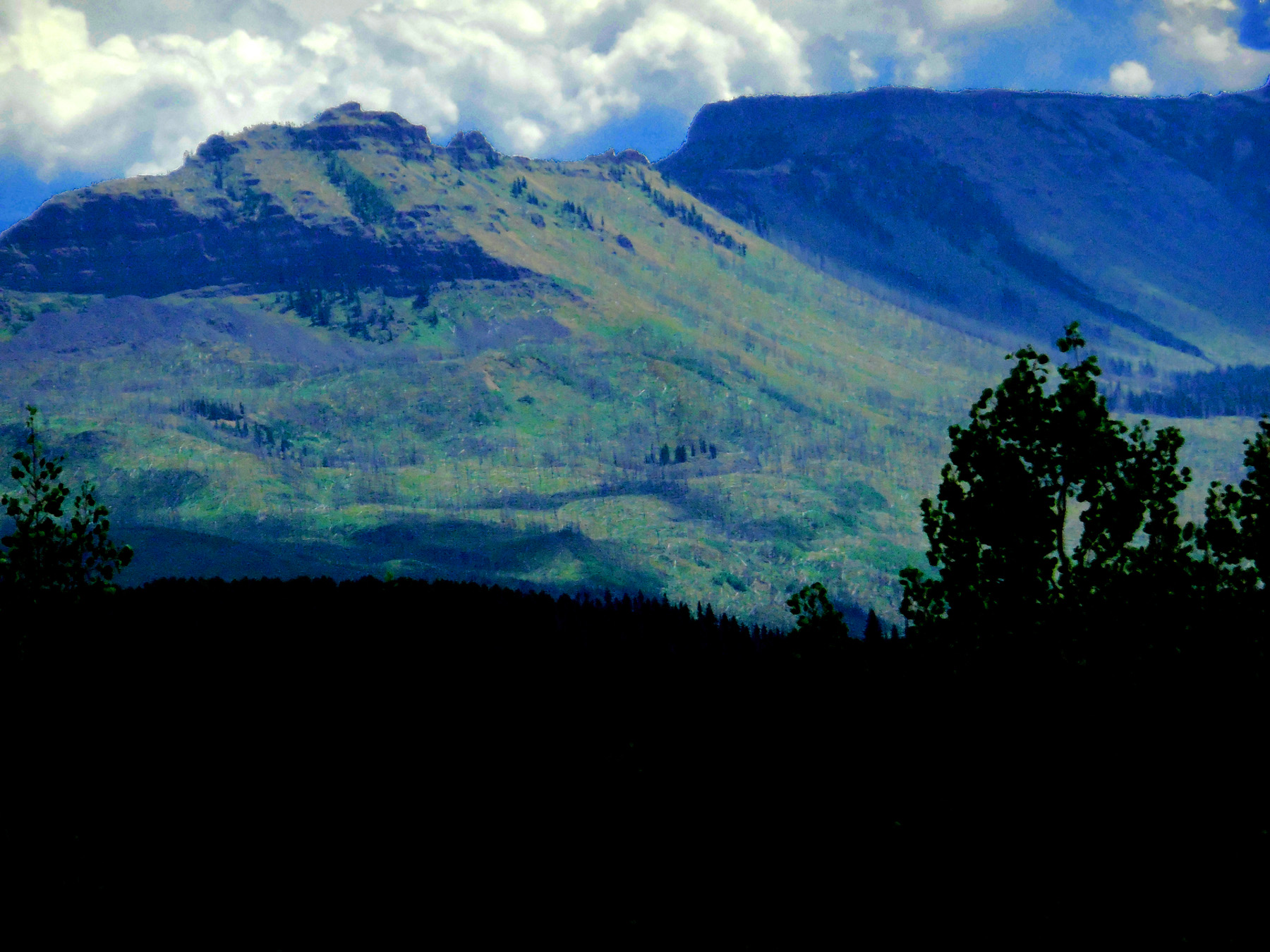
Flat Tops from the northwest
May 20 2020 - 4:36 pm
May 20 2020 - 4:36 pm
23 / 77
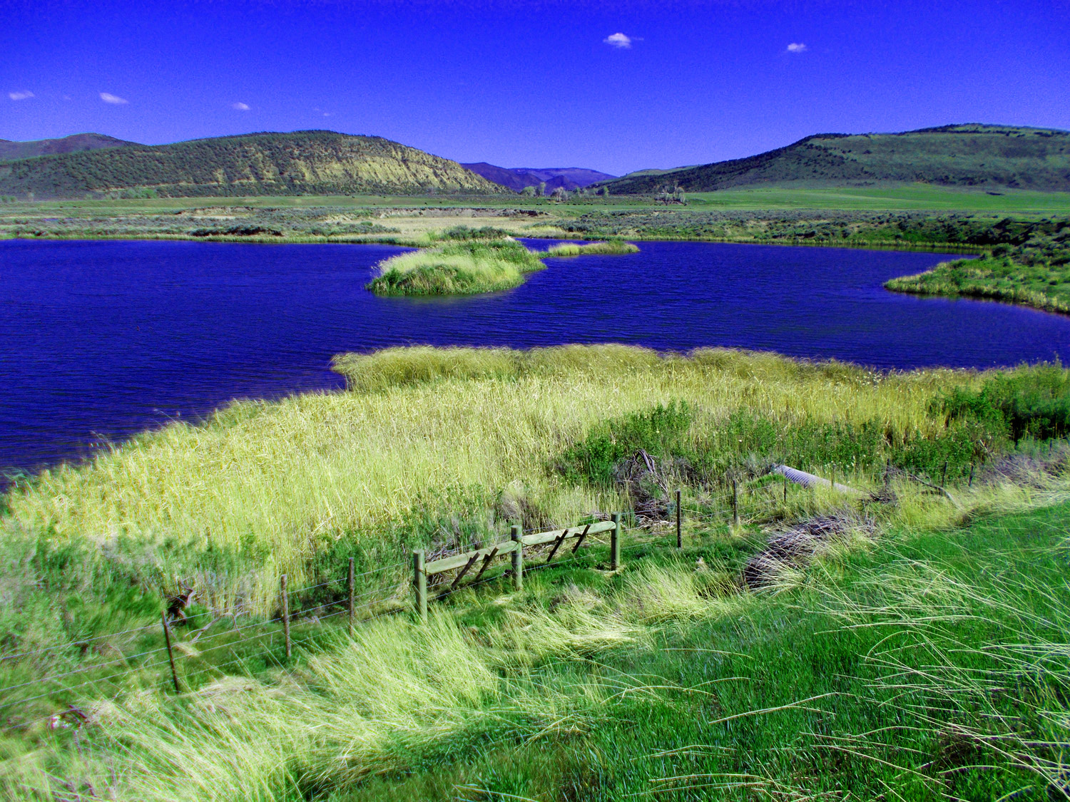
Pond where Good Springs Creek meets Mill Creek
May 20 2020 - 4:39 pm
May 20 2020 - 4:39 pm
24 / 77
Coal mine tailings filling a side canyon 150' deep, 1500' back
May 20 2020 - 4:48 pm
May 20 2020 - 4:48 pm
25 / 77
Danforth Hills (Mesa Verde Formation)
May 20 2020 - 5:23 pm
May 20 2020 - 5:23 pm
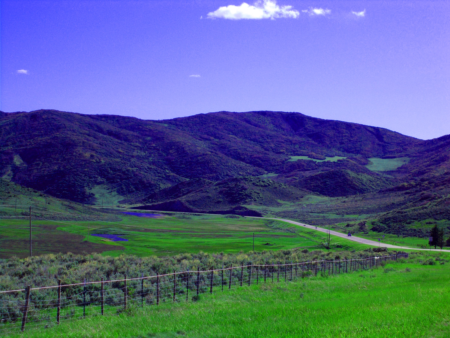
26 / 77
Approaching Meeker
May 20 2020 - 5:33 pm
May 20 2020 - 5:33 pm
27 / 77
Danforth Hills from the south
May 20 2020 - 5:35 pm
May 20 2020 - 5:35 pm
28 / 77
White River at north end of the Grand Hogback
May 20 2020 - 6:12 pm
May 20 2020 - 6:12 pm
29 / 77
Flat Tops from the west
May 20 2020 - 6:14 pm
May 20 2020 - 6:14 pm
30 / 77
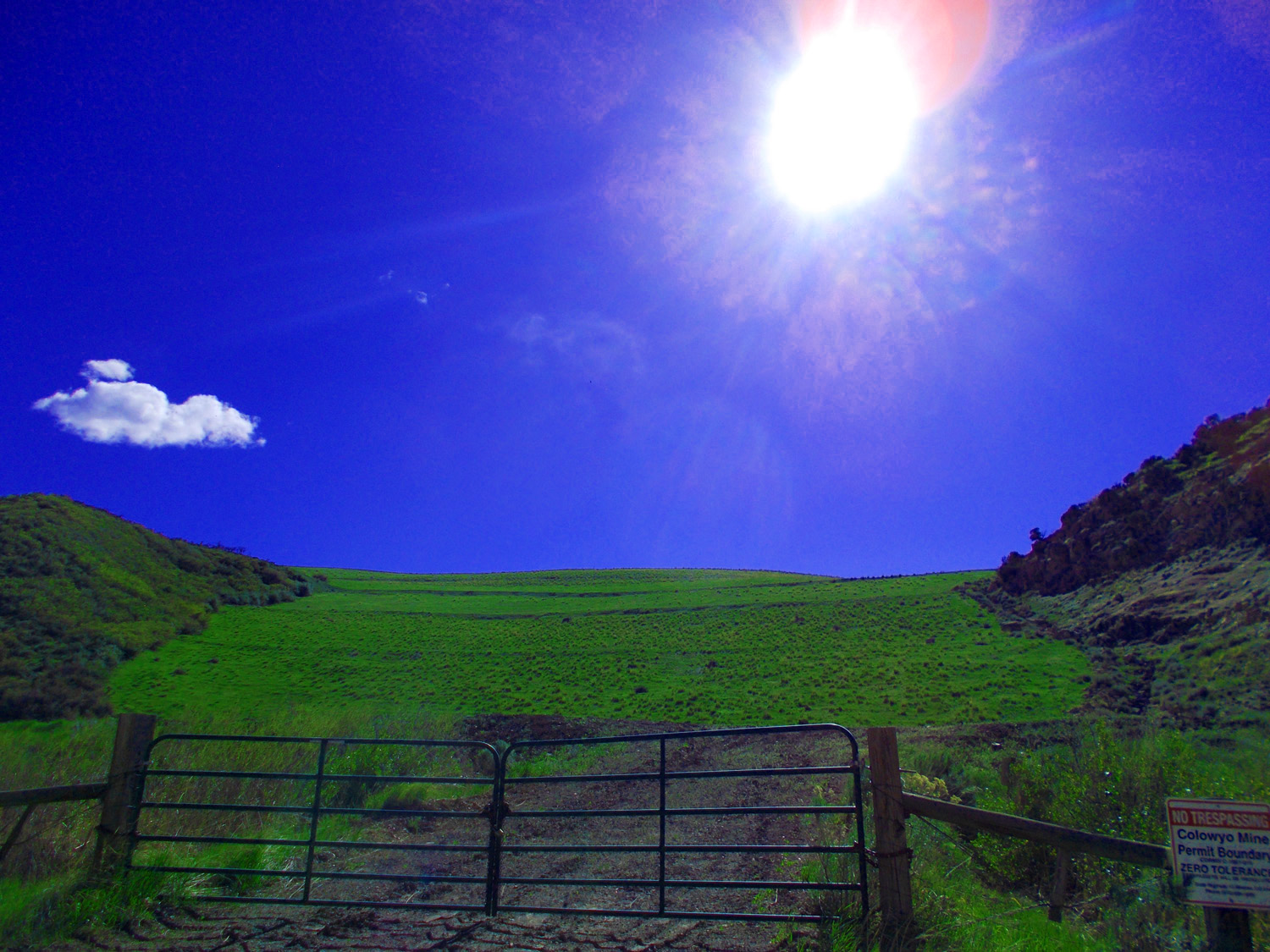
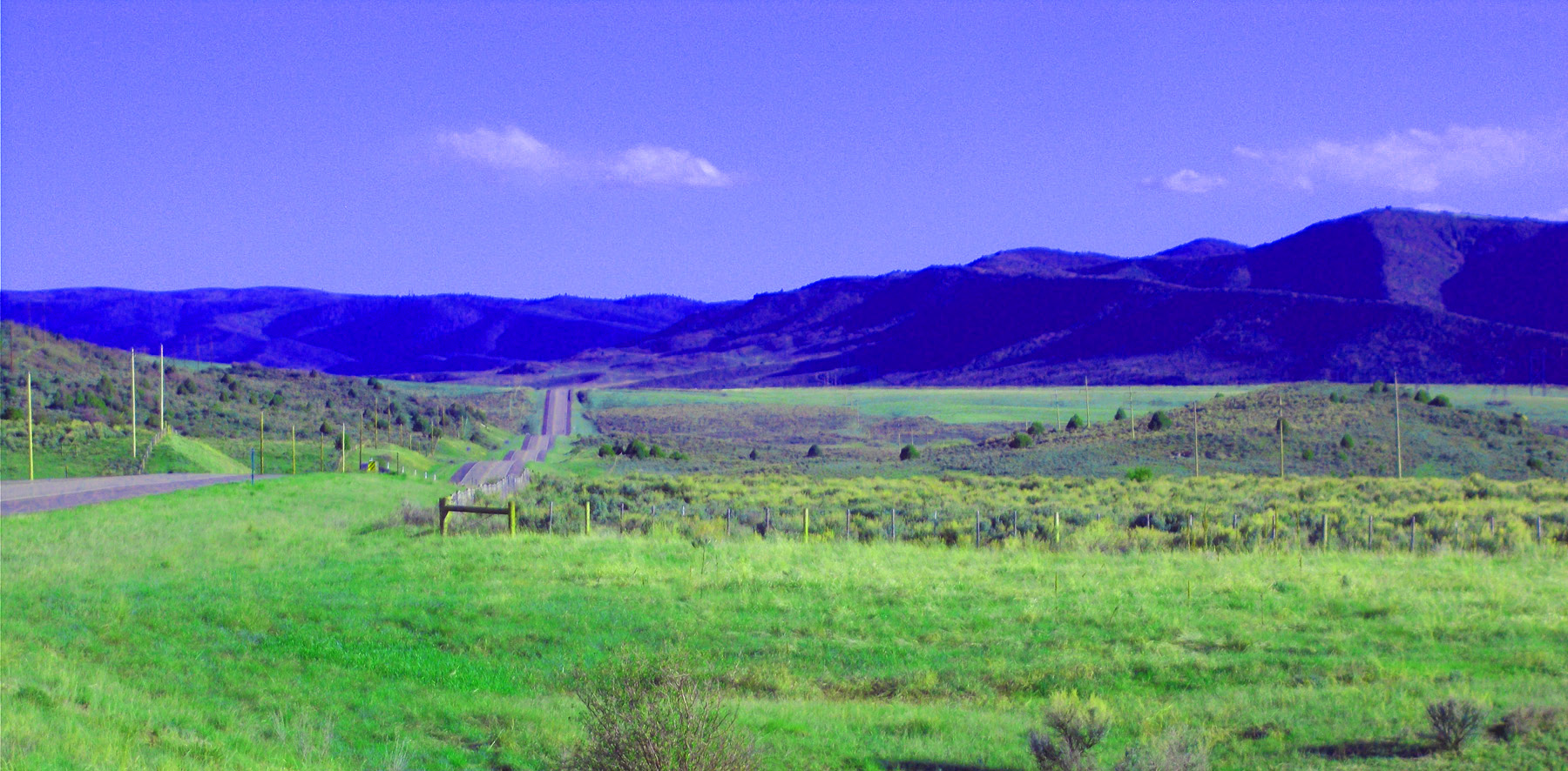
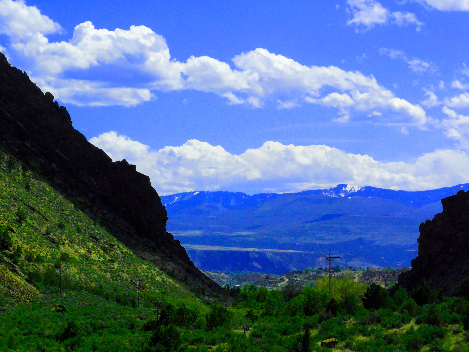
East just before Meeker
31 / 77
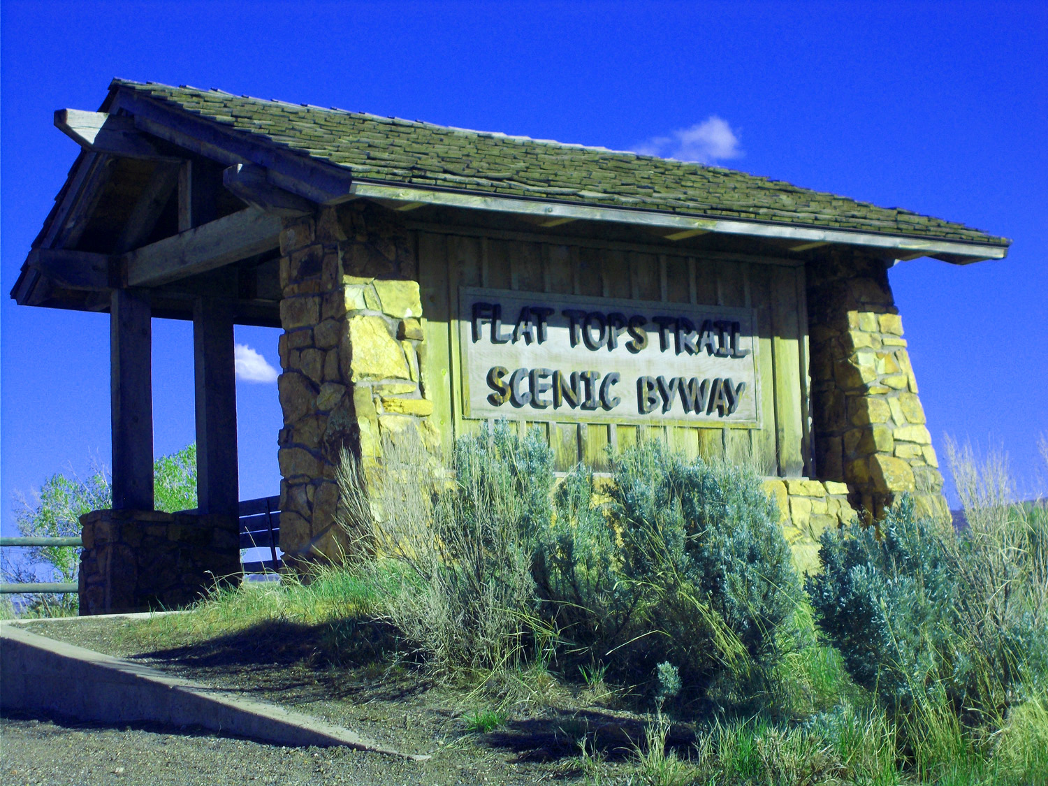
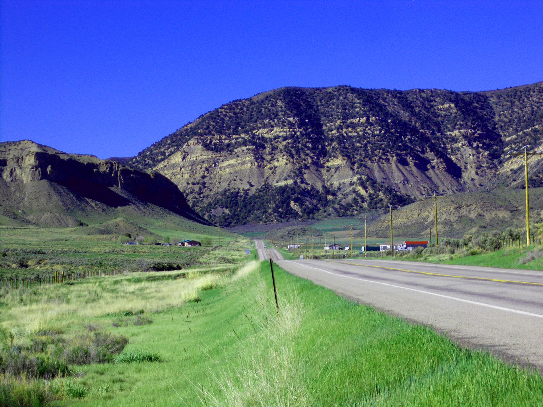
Flat Tops Trails Scenic Byway
May 20 2020 - 6:07 pm
May 20 2020 - 6:07 pm
32 / 77
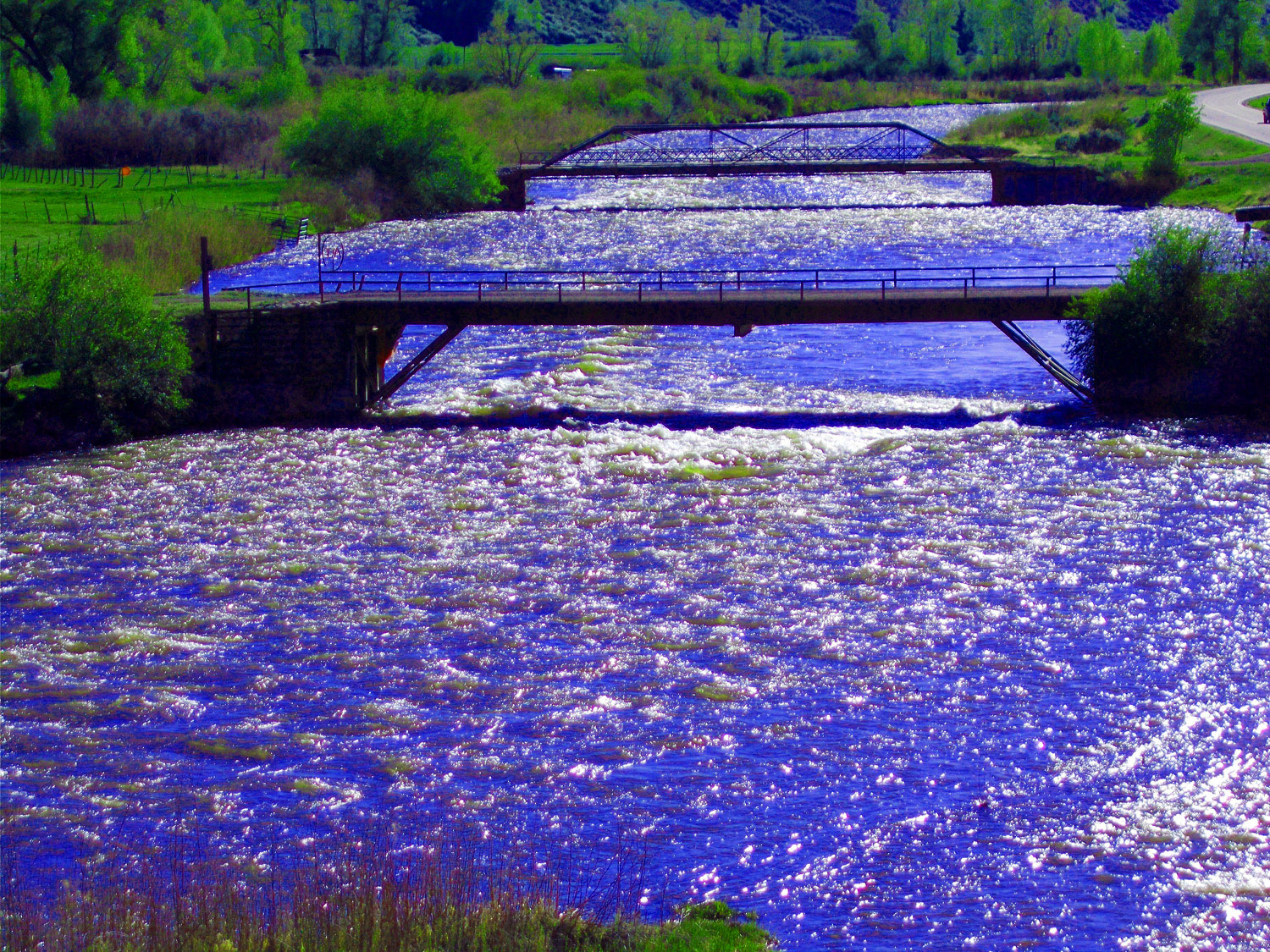
White River swollen by spring runoff
May 20 2020 - 6:01 pm
May 20 2020 - 6:01 pm
33 / 77
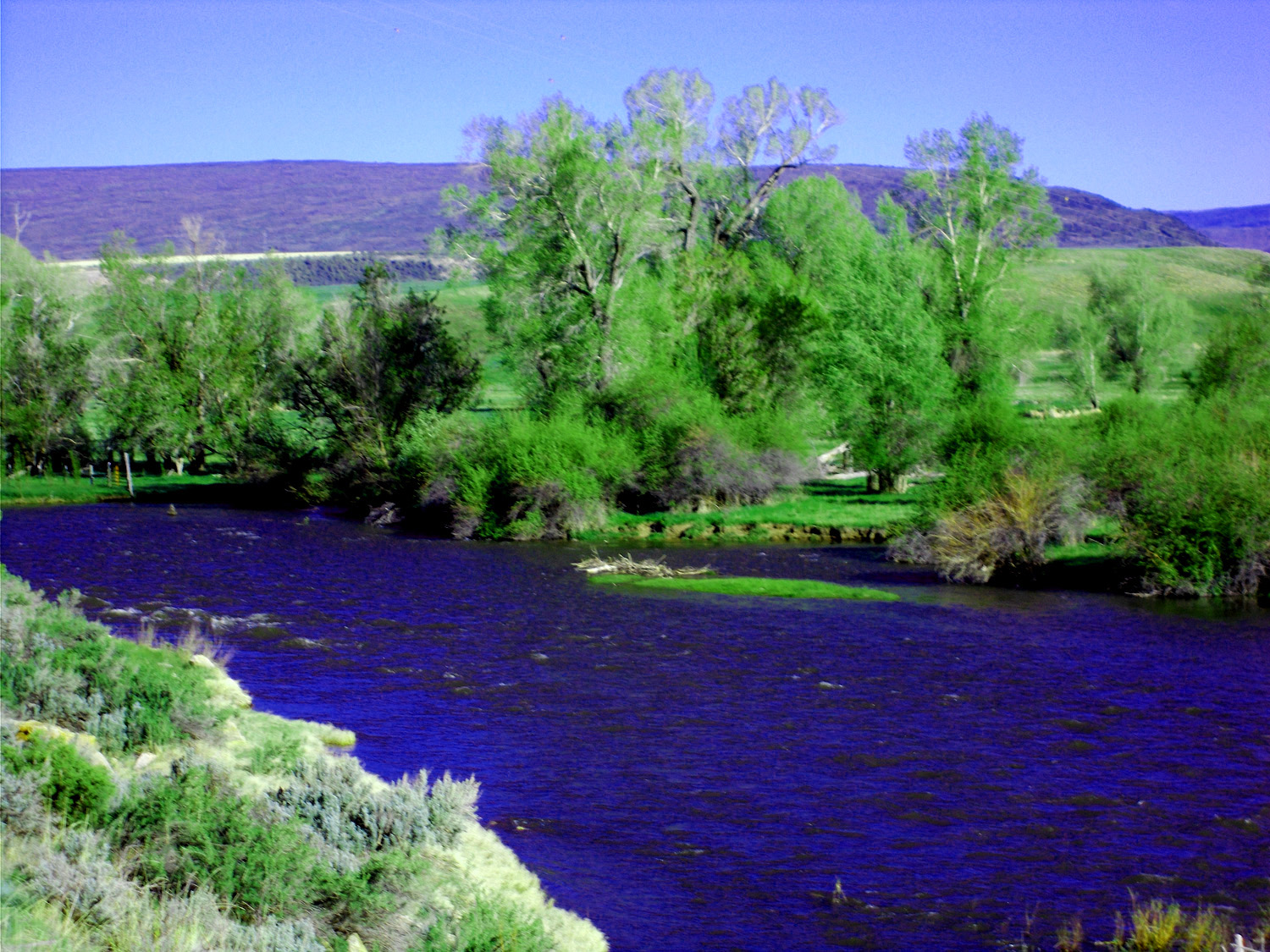
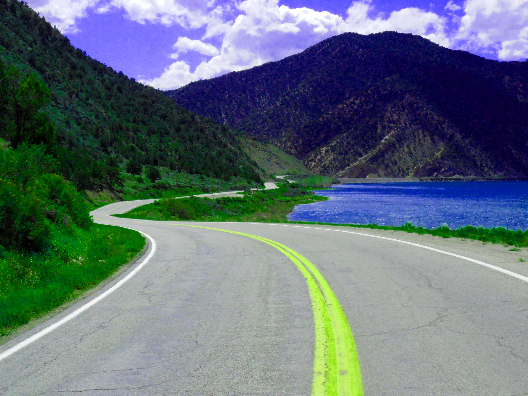
Blue water reflecting azure Colorado sky
May 20 2020 - 6:00 pm
May 20 2020 - 6:00 pm
34 / 77
Pennslvanian sandstone (tilted along west limb of the Flat Tops anticline)
May 20 2020 - 5:47 pm
May 20 2020 - 5:47 pm
35 / 77
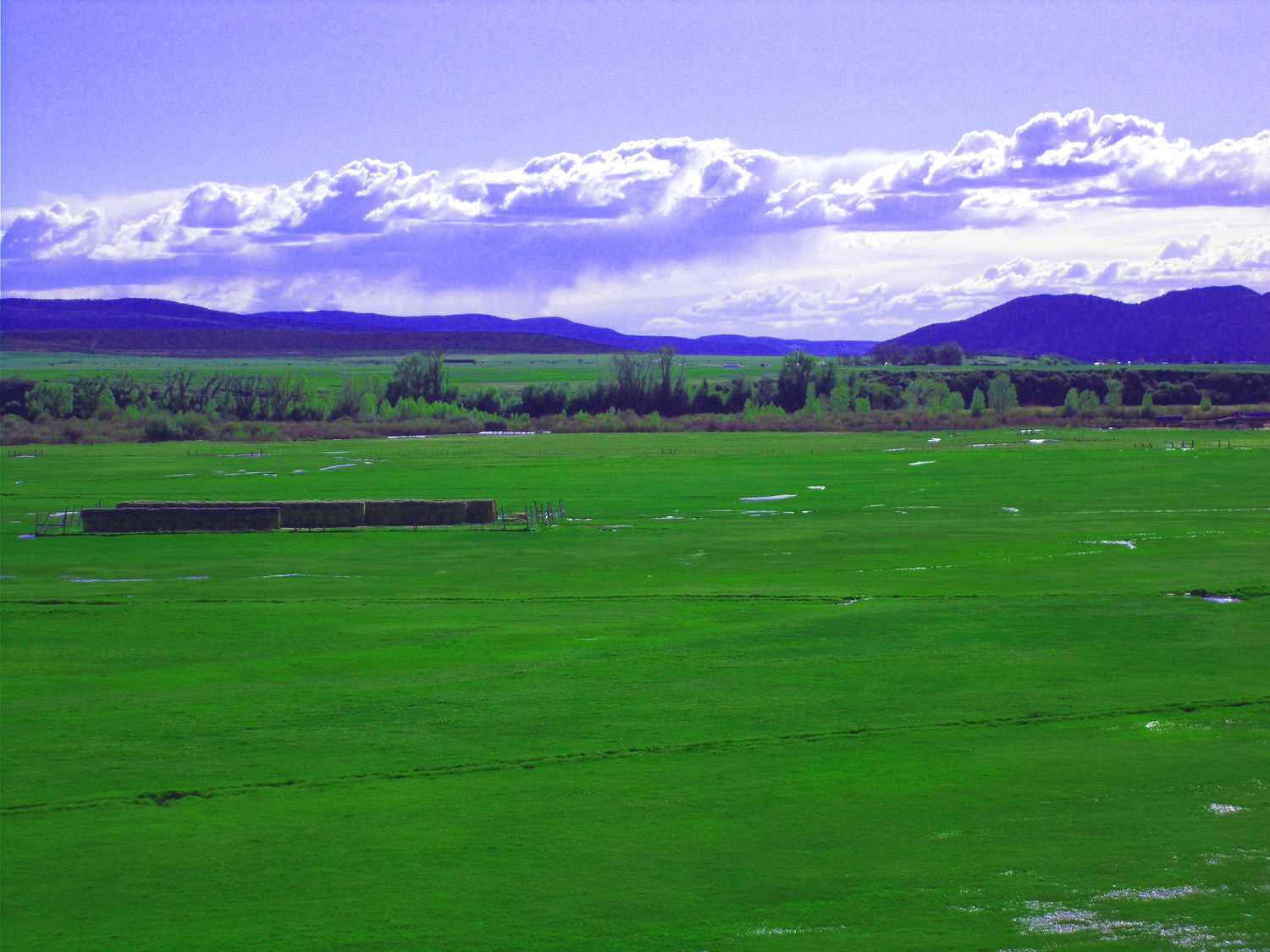
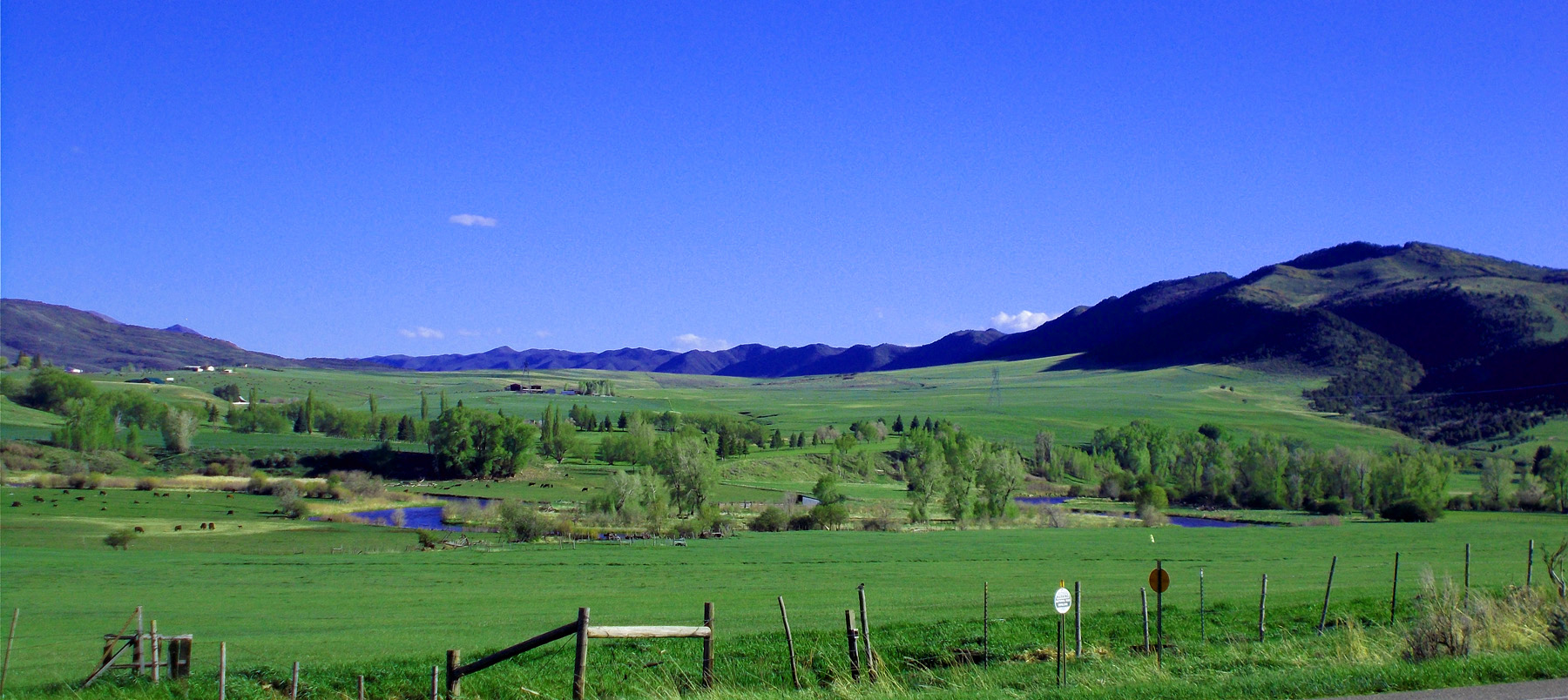
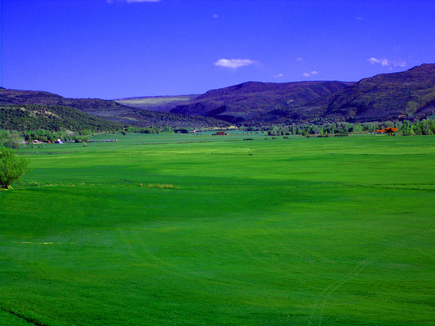
White River irrigated ranch land
May 20 2020 - 5:47 pm
May 20 2020 - 5:47 pm
36 / 77
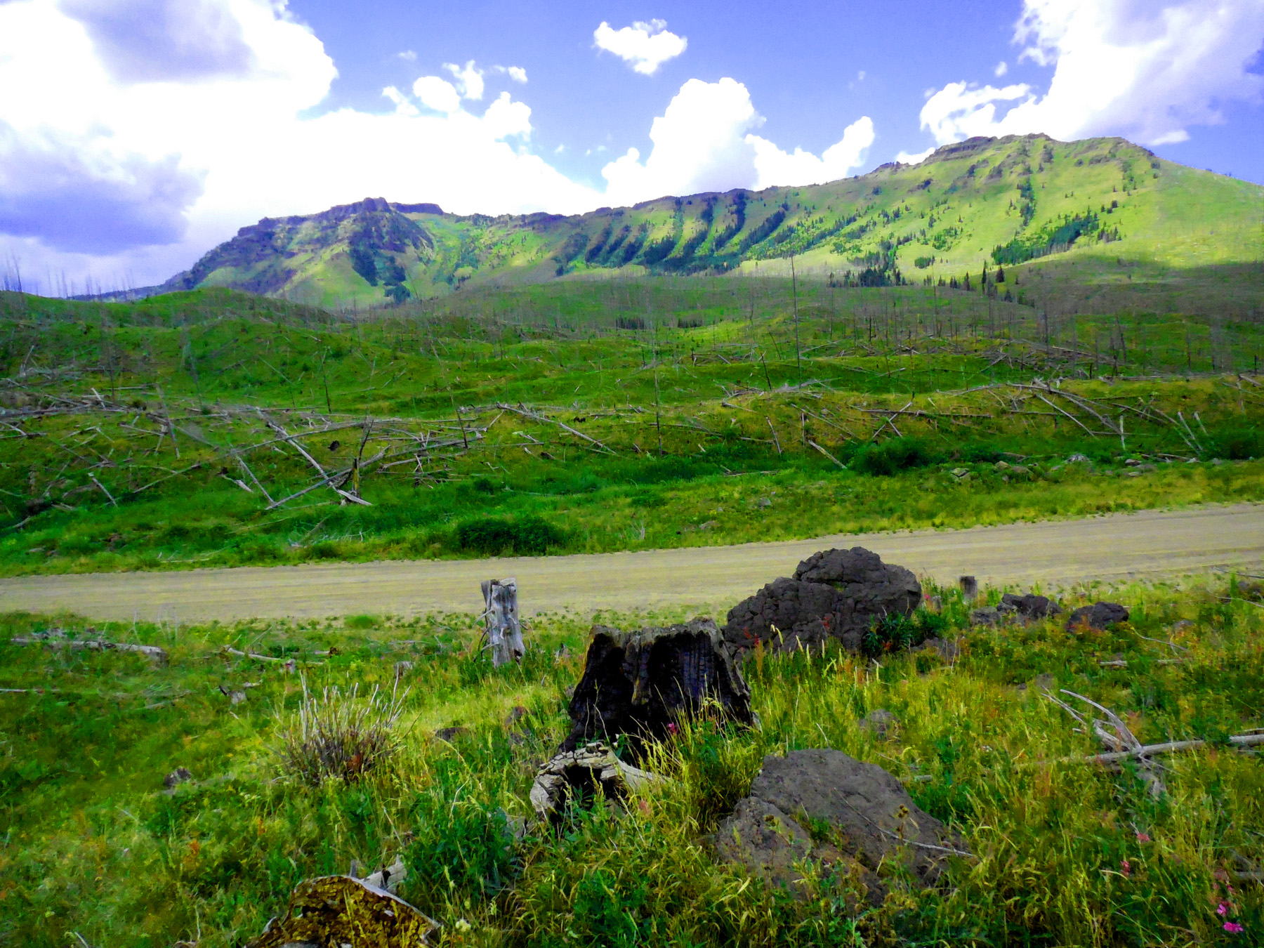
Flat Tops (the name is obvious)
May 20 2020 - 5:43 pm
May 20 2020 - 5:43 pm
37 / 77
Up river toward The Flat Tops source area
May 20 2020 - 5:41 pm
May 20 2020 - 5:41 pm
38 / 77
White River where it splits into North and South Forks
May 20 2020 - 5:39 pm
May 20 2020 - 5:39 pm
39 / 77
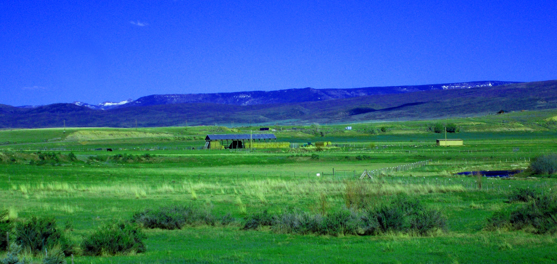
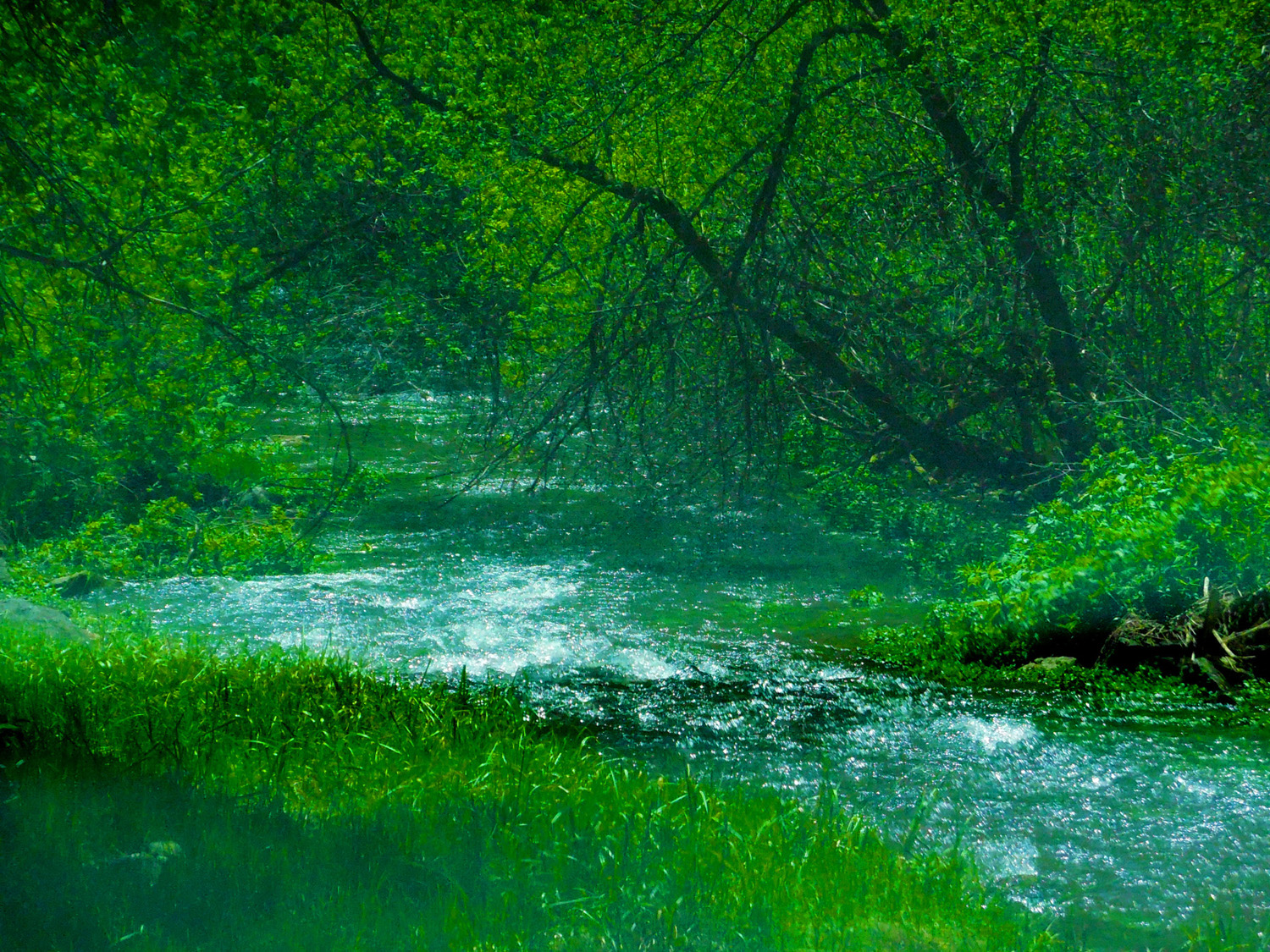
Riparian vegetation
Aug 20 2017 - 12:35 pm
Aug 20 2017 - 12:35 pm
40 / 77
Palace
Aug 20 2017 - 2:59 pm
Aug 20 2017 - 2:59 pm
41 / 77
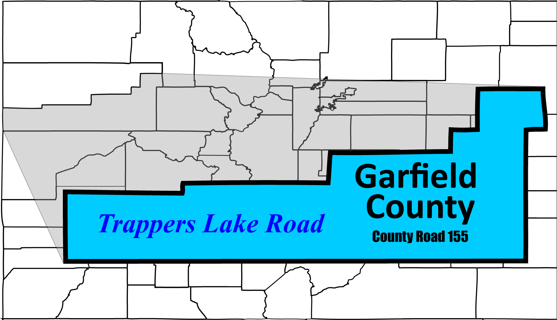
South on Trappers Lake Road
42 / 77
Big Fish Fire in 2002 (Beaver lodge and partially drained beaver pond in foreground)
Aug 20 2017 - 12:36 pm
Aug 20 2017 - 12:36 pm
43 / 77
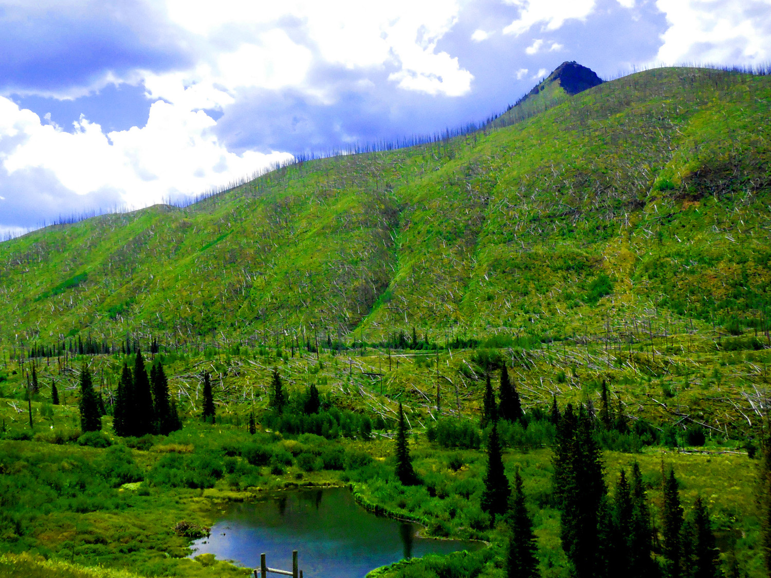
Green areas show recovery
Aug 20 2017 - 2:10 pm
Aug 20 2017 - 2:10 pm
44 / 77
Trees fell several years after the fire (dead roots could no longer withstand the wind)
Aug 20 2017 - 12:54 pm
Aug 20 2017 - 12:54 pm
45 / 77
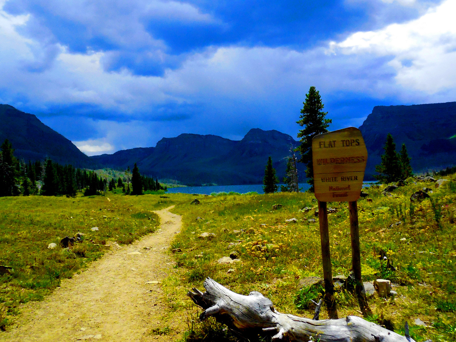
Trappers Lake set a Wilderness precedent (1919 homeowner applications not approved; no roads allowed)
Aug 20 2017 - 1:54 pm
Aug 20 2017 - 1:54 pm
46 / 77
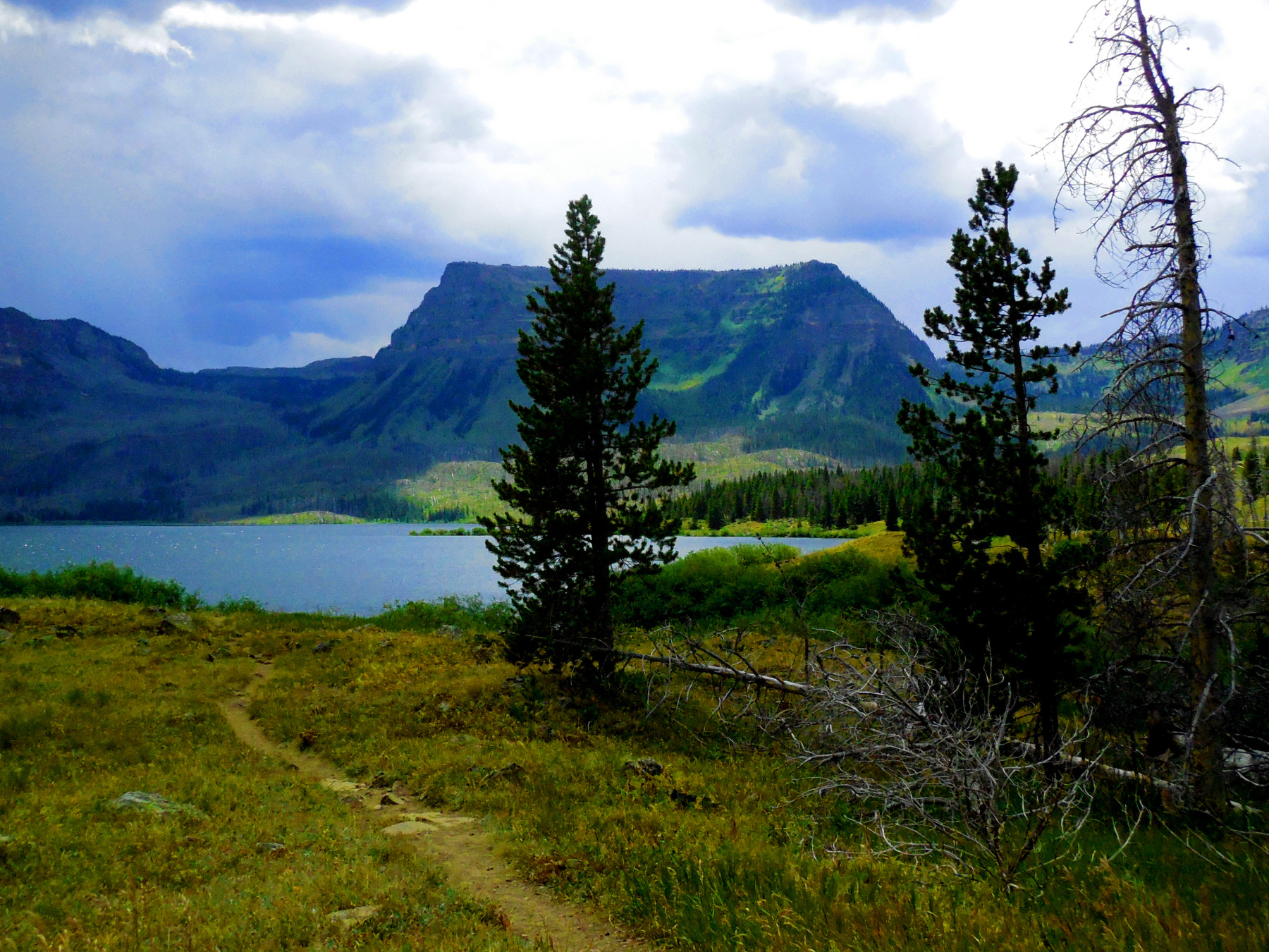
Trapper Lake and the Chinese Wall
Aug 20 2017 - 1:18 pm
Aug 20 2017 - 1:18 pm
47 / 77
Recovery is on track with the Yellowstone fires of 1988
Aug 20 2017 - 1:17 pm
Aug 20 2017 - 1:17 pm
48 / 77

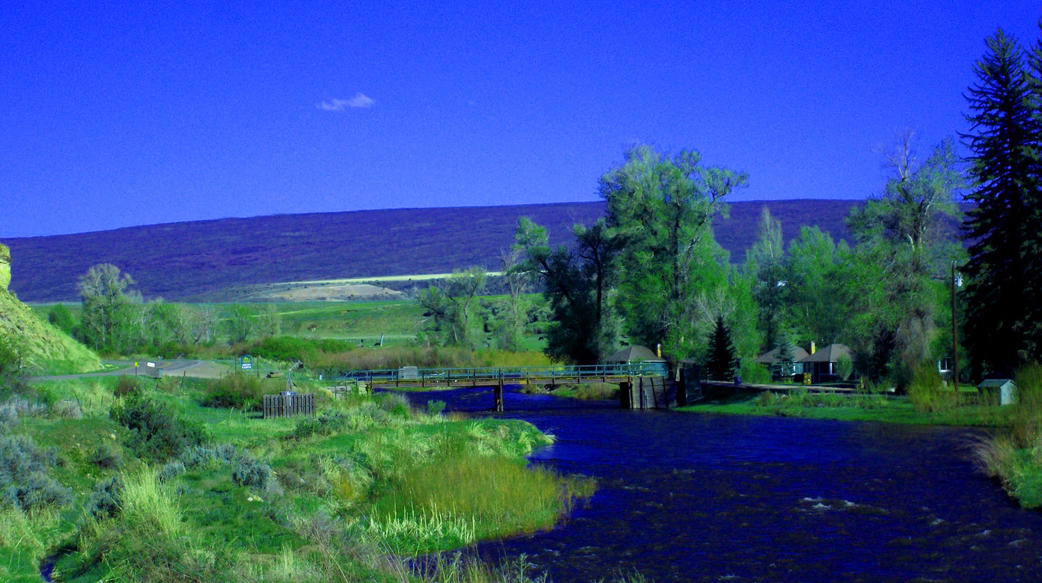
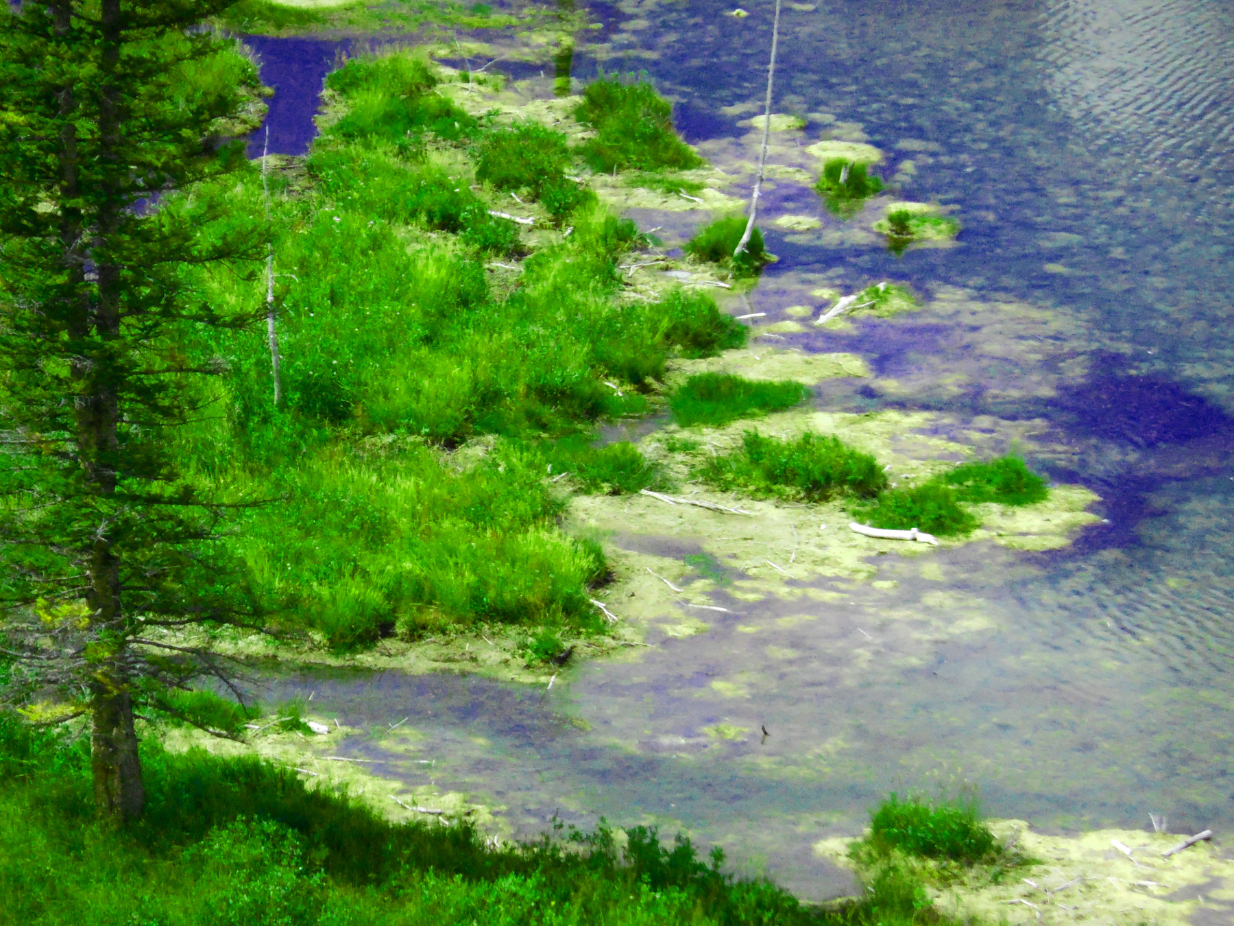
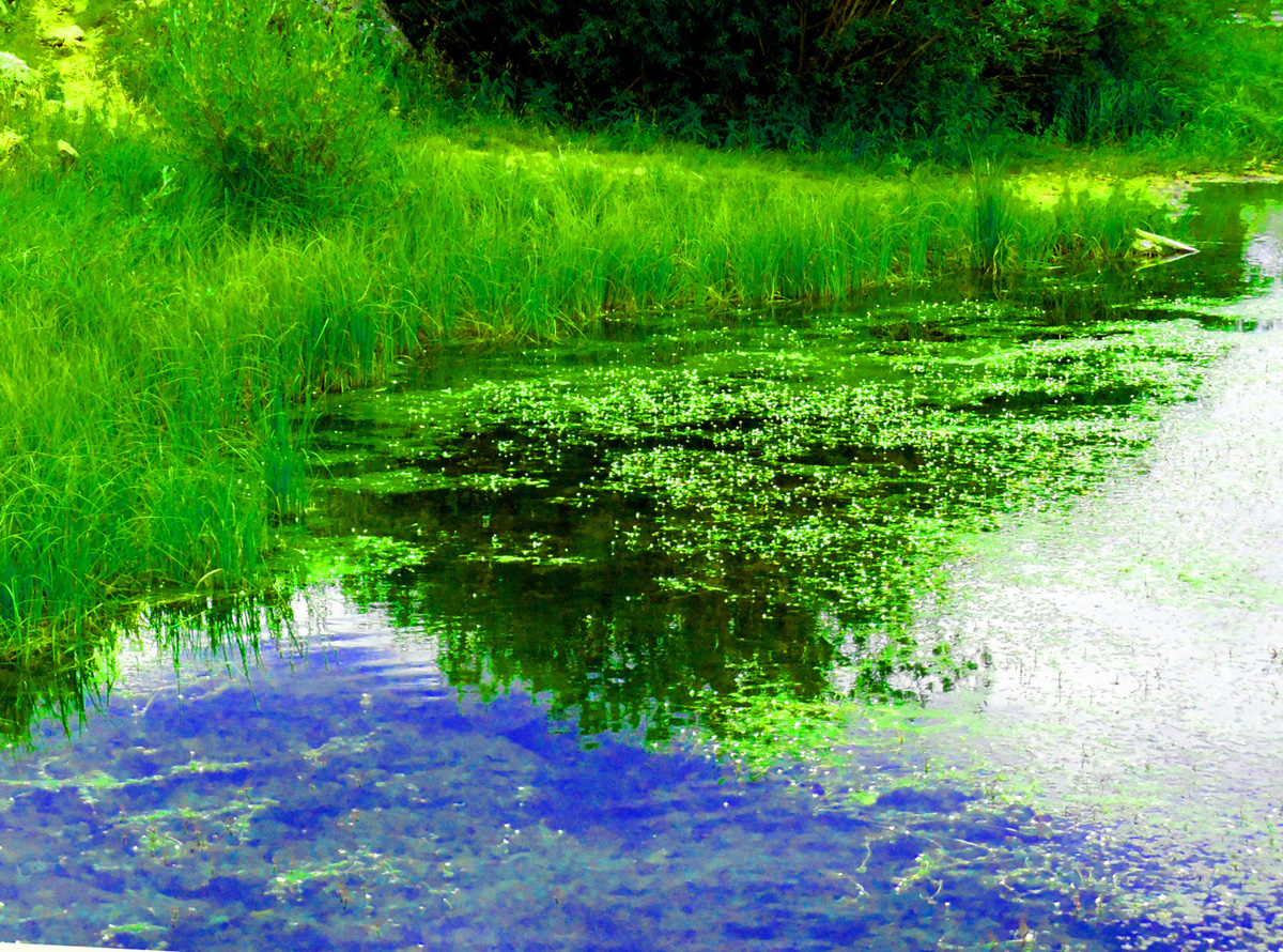
Algae fronds in North Fork White River from bridge over Trappers Lake outlet
Aug 20 2017 - 1:27 pm
Aug 20 2017 - 1:27 pm
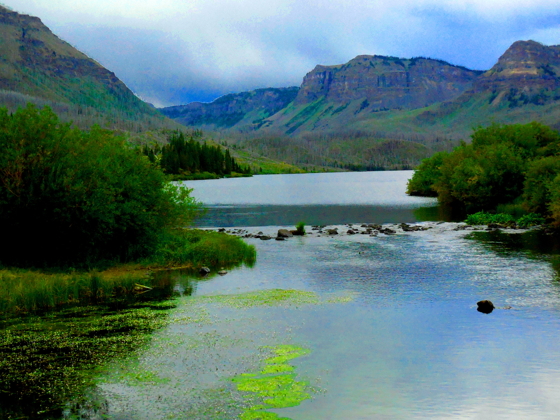
49 / 77
The other way, toward the lake
Aug 20 2017 - 1:28 pm
Aug 20 2017 - 1:28 pm
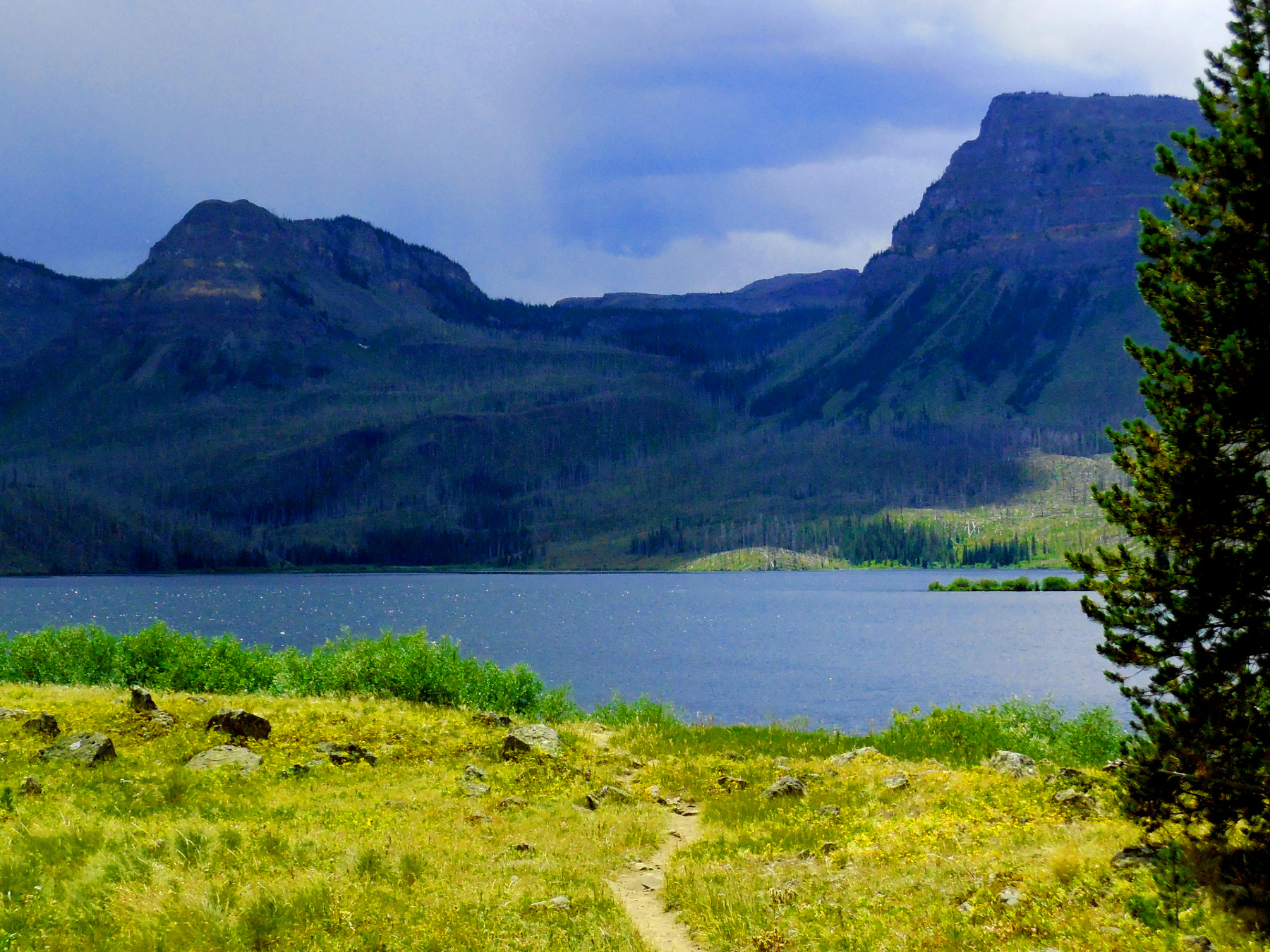
50 / 77
Trappers Lake from the outlet
Aug 20 2017 - 1:28 pm
Aug 20 2017 - 1:28 pm
51 / 77
Back to CO 13 south of Meeker (Grand Hogback from north) CO 13 follows the Grand Hogback all the way to Rifle
Jul 12 2017 - 1:24 pm
Jul 12 2017 - 1:24 pm
52 / 77
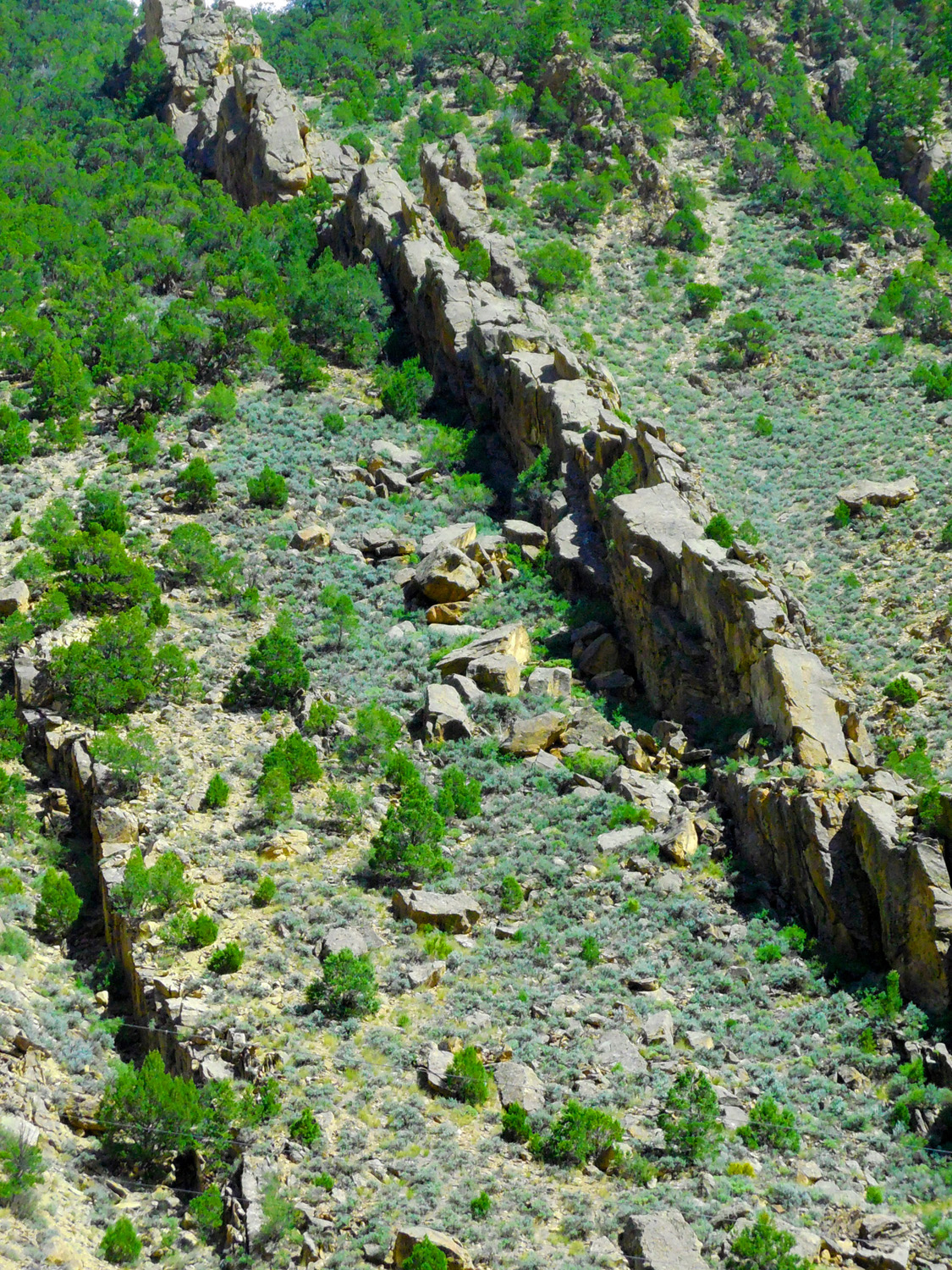
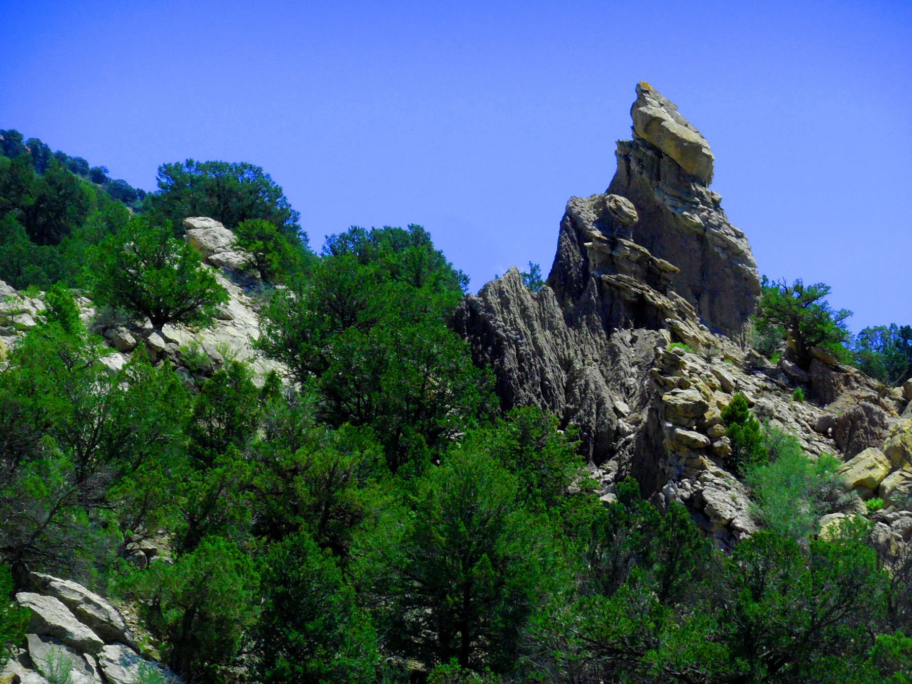
Spires of Mesa Verde sandstone
May 20 2020 - 6:21 pm
May 20 2020 - 6:21 pm
53 / 77
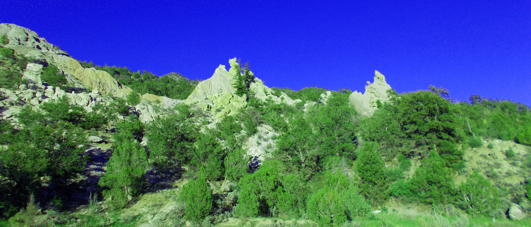
Another View
May 13 2017 - 2:51 pm
May 13 2017 - 2:51 pm
54 / 77
The Roan Cliffs west of the Grand Hogback (on the right all the way to Rifle)
May 20 2020 - 6:42 pm
May 20 2020 - 6:42 pm
55 / 77
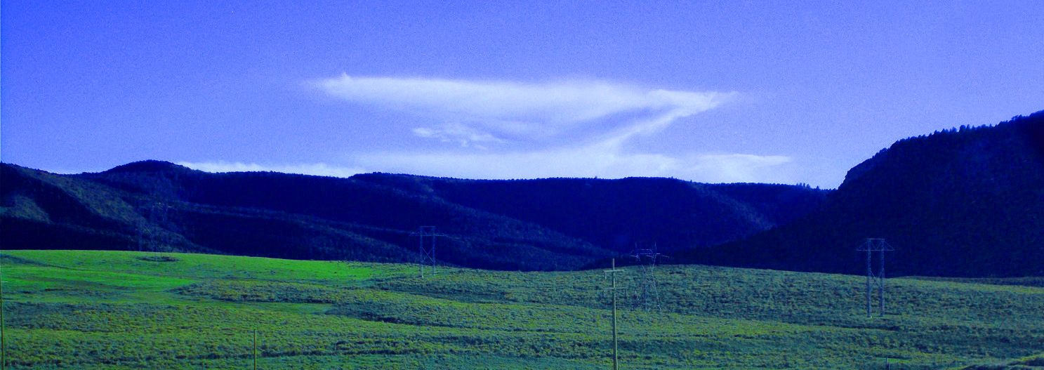
Stacked anvil clouds
May 20 2020 - 6:48 pm
May 20 2020 - 6:48 pm
56 / 77
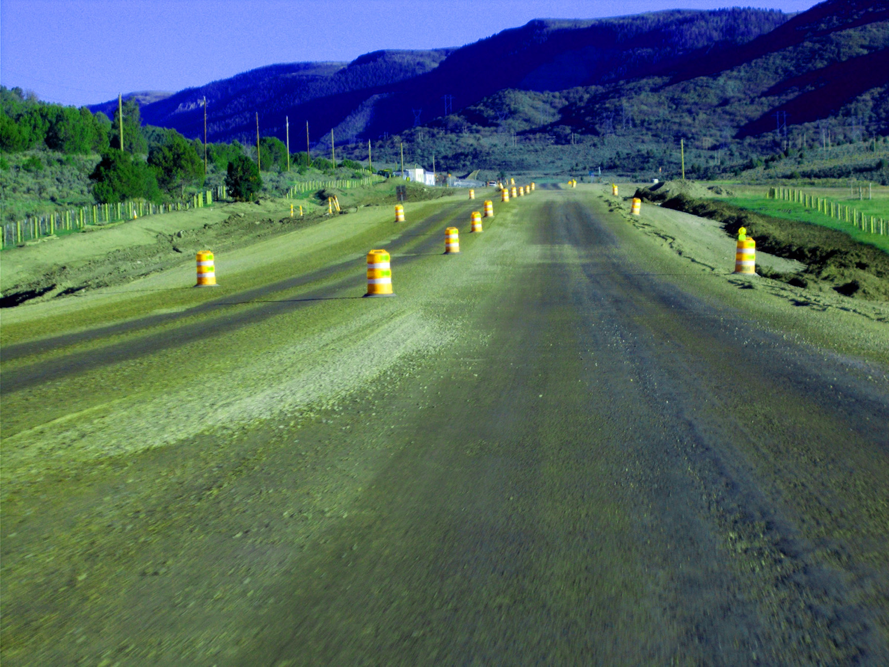
Construction season
May 20 2020 - 6:57 pm
May 20 2020 - 6:57 pm
57 / 77
A quick peek at Chair Mountain and the Raggeds (West Elk Mountains)
May 20 2020 - 7:18 pm
May 20 2020 - 7:18 pm
58 / 77
Erosion of the Wasatch Formation in noon light
Jul 20 2017 - 12:42 pm
Jul 20 2017 - 12:42 pm
59 / 77
Evening light
May 20 2020 - 7:19 pm
May 20 2020 - 7:19 pm
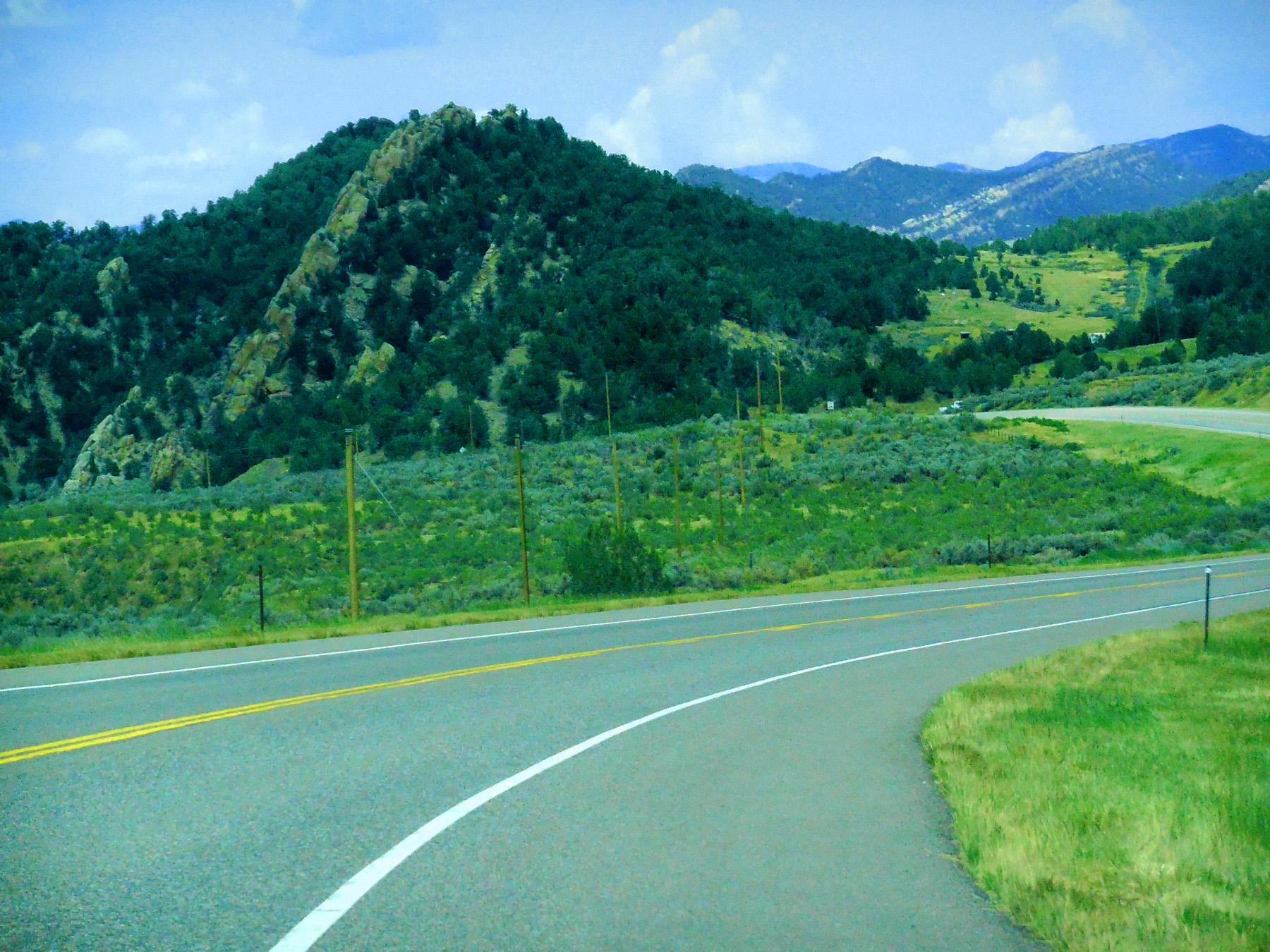
60 / 77

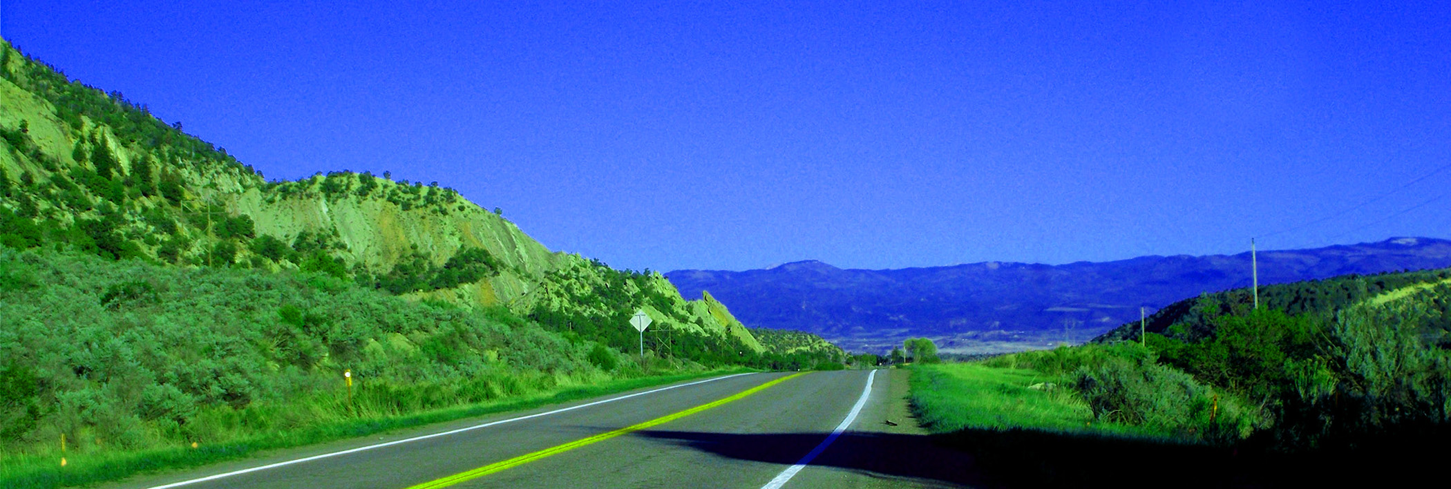
North on CO 135 (to State Parks and county roads)
61 / 77
Rifle Gap through the Grand Hogback
May 13 2017 - 1:28 pm
May 13 2017 - 1:28 pm
62 / 77
The Grand Hogback from the east
May 13 2017 - 1:30 pm
May 13 2017 - 1:30 pm
63 / 77
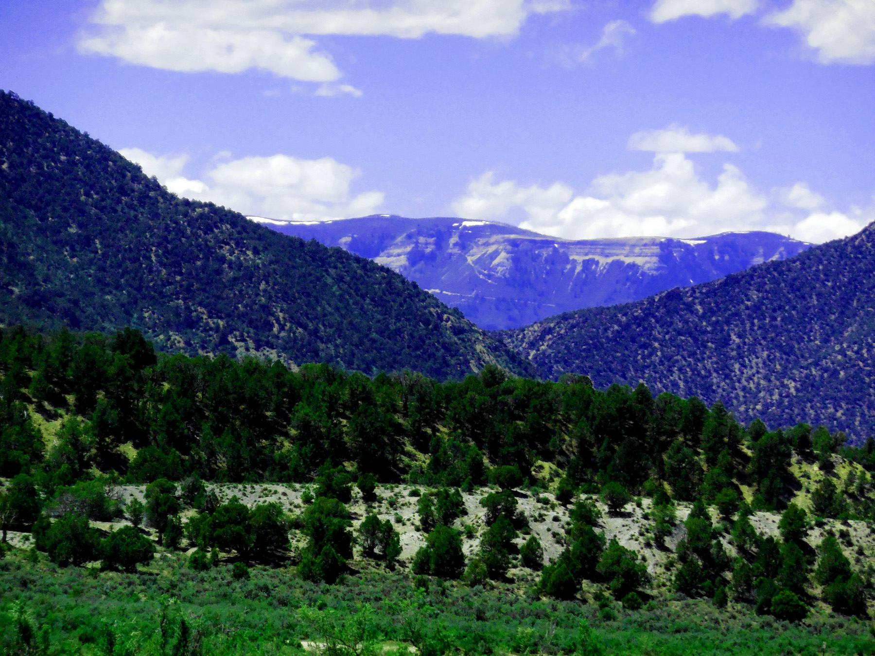
Roan Cliffs beyond Rifle Gap
May 13 2017 - 1:34 pm
May 13 2017 - 1:34 pm
64 / 77
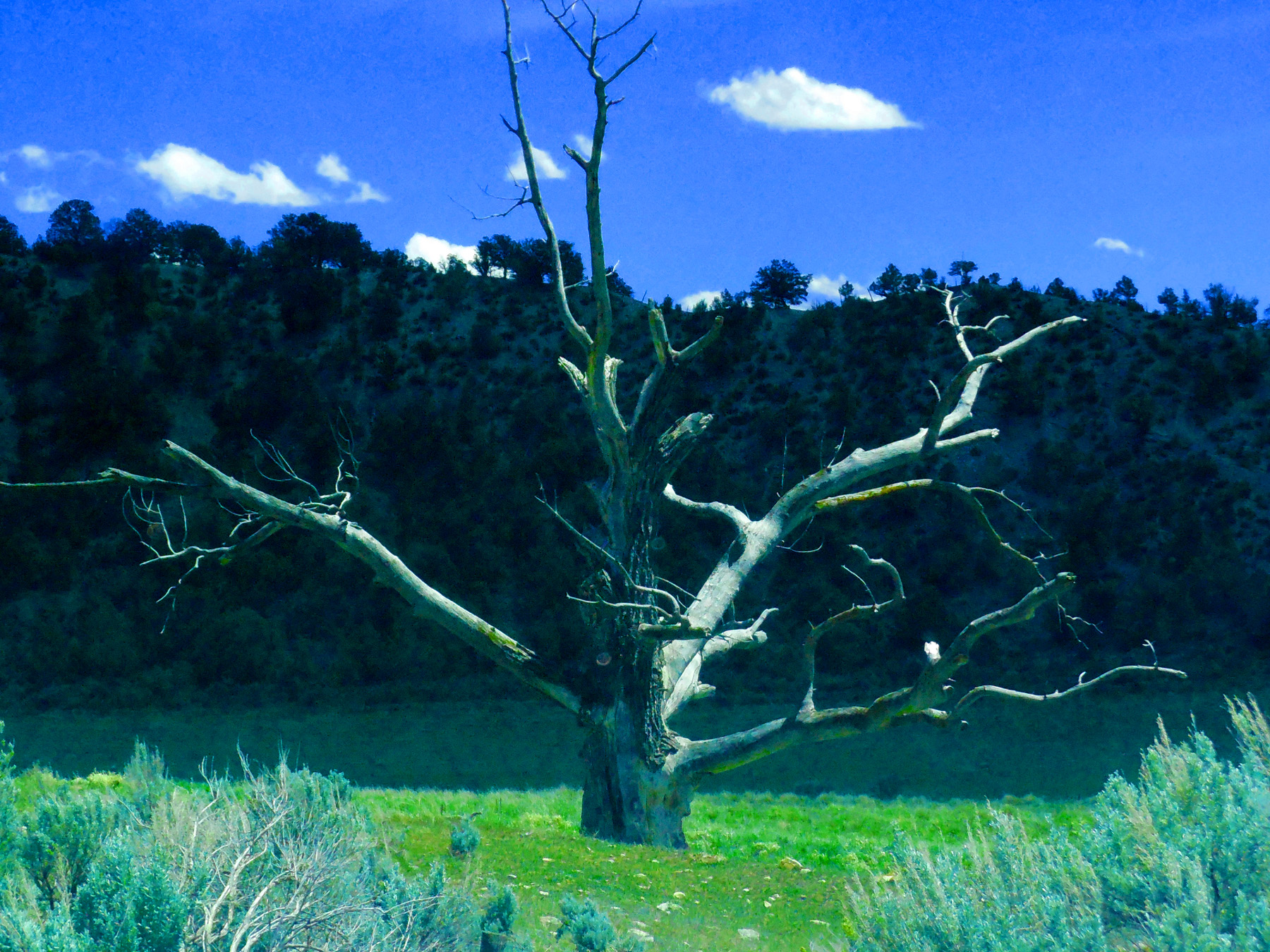
Dead Cottonwood tree
May 13 2017 - 1:37 pm
May 13 2017 - 1:37 pm
65 / 77
Paleozoic limestone (a favorite spot for training technical mountain-climbers)
May 13 2017 - 1:54 pm
May 13 2017 - 1:54 pm
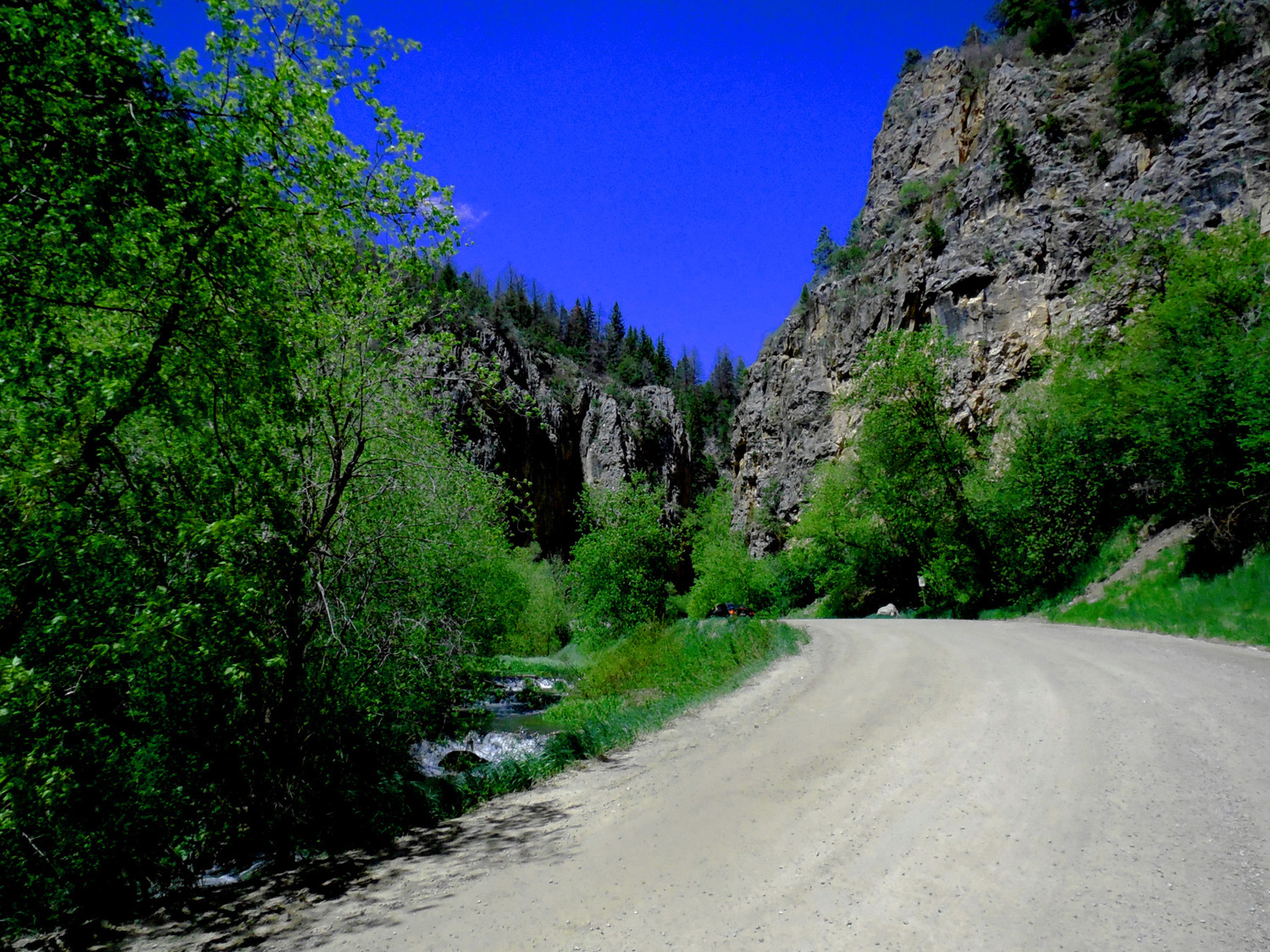
66 / 77
East Rifle Creek
May 13 2017 - 2:13 pm
May 13 2017 - 2:13 pm
67 / 77
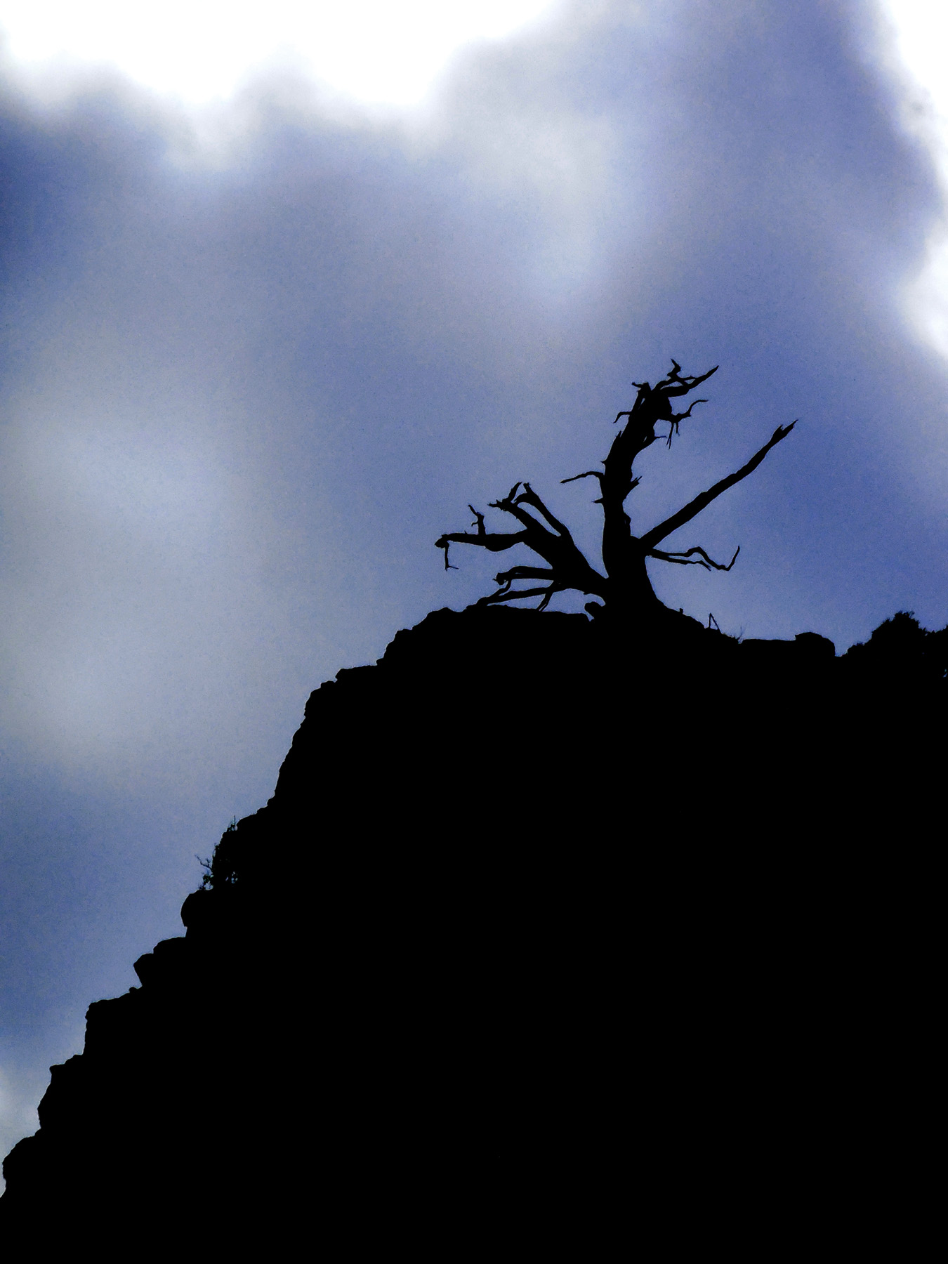
Cliff and tree silhouetted by storm clouds
May 13 2017 - 2:16 pm
May 13 2017 - 2:16 pm
68 / 77
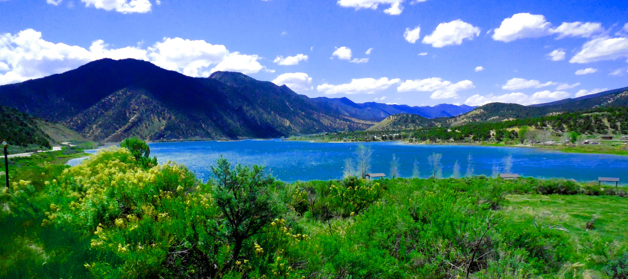
Rifle Gap Reservoir
May 13 2017 - 2:42 pm
May 13 2017 - 2:42 pm
69 / 77
Rifle Gap through tilted Mesa Verde Formation (i.e the Grand Hogback)
May 13 2017 - 2:43 pm
May 13 2017 - 2:43 pm
70 / 77
Battlement Mesa beyond Rifle Gap
May 13 2017 - 2:49 pm
May 13 2017 - 2:49 pm
71 / 77
Back to CO 13 approaching Rifle and the Colorado River
May 05 2020 - 7:23 pm
May 05 2020 - 7:23 pm
72 / 77
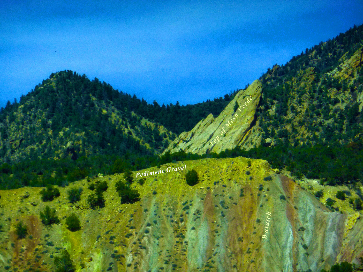
Labeled geology (Wasatch Formation is as colorful as same-aged rocks in Bryce Canyon)
Mar 18 2017 - 12:31 pm
Mar 18 2017 - 12:31 pm
73 / 77
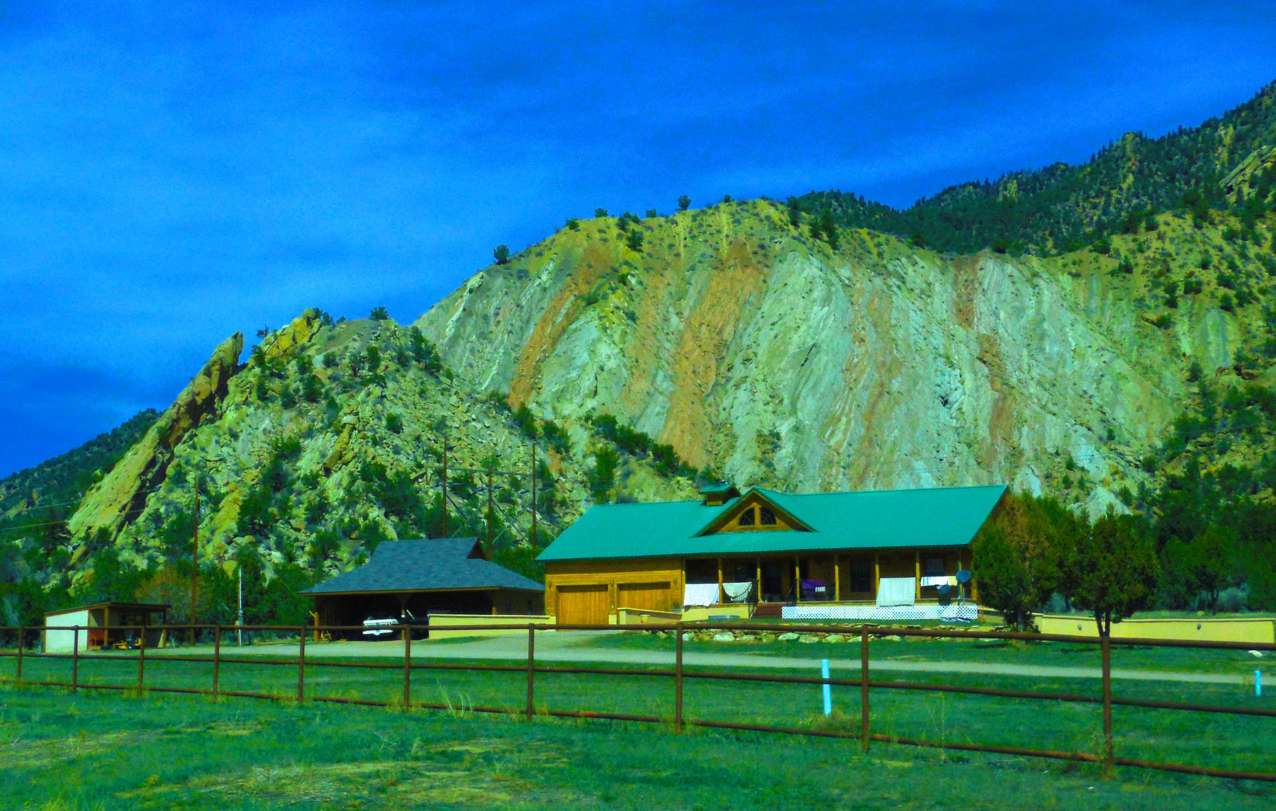
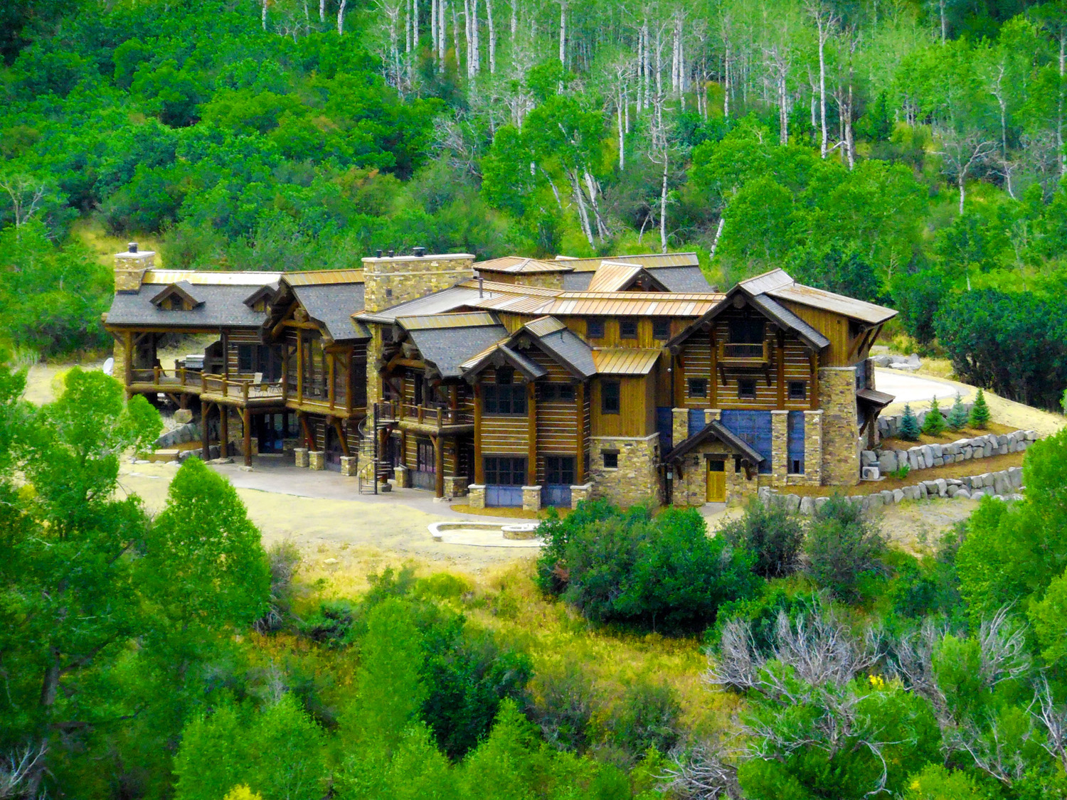
House with beautiful backyard
Mar 18 2017 - 12:33 pm
Mar 18 2017 - 12:33 pm
74 / 77
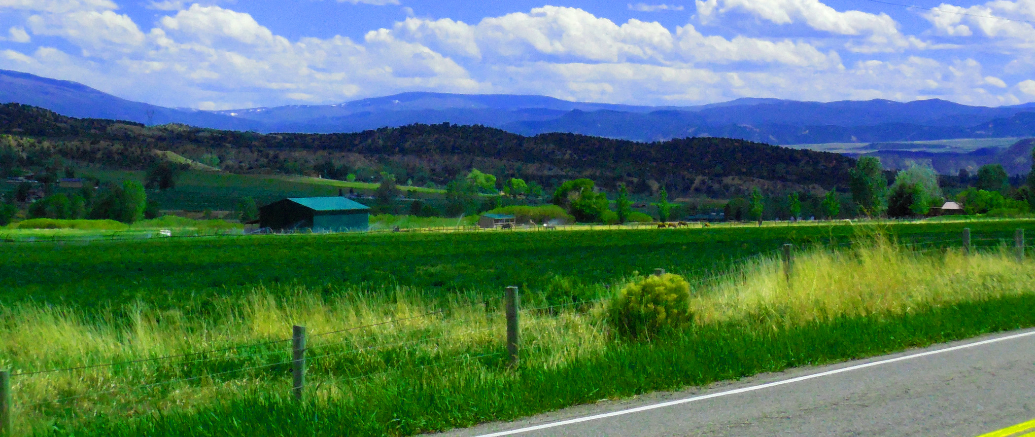
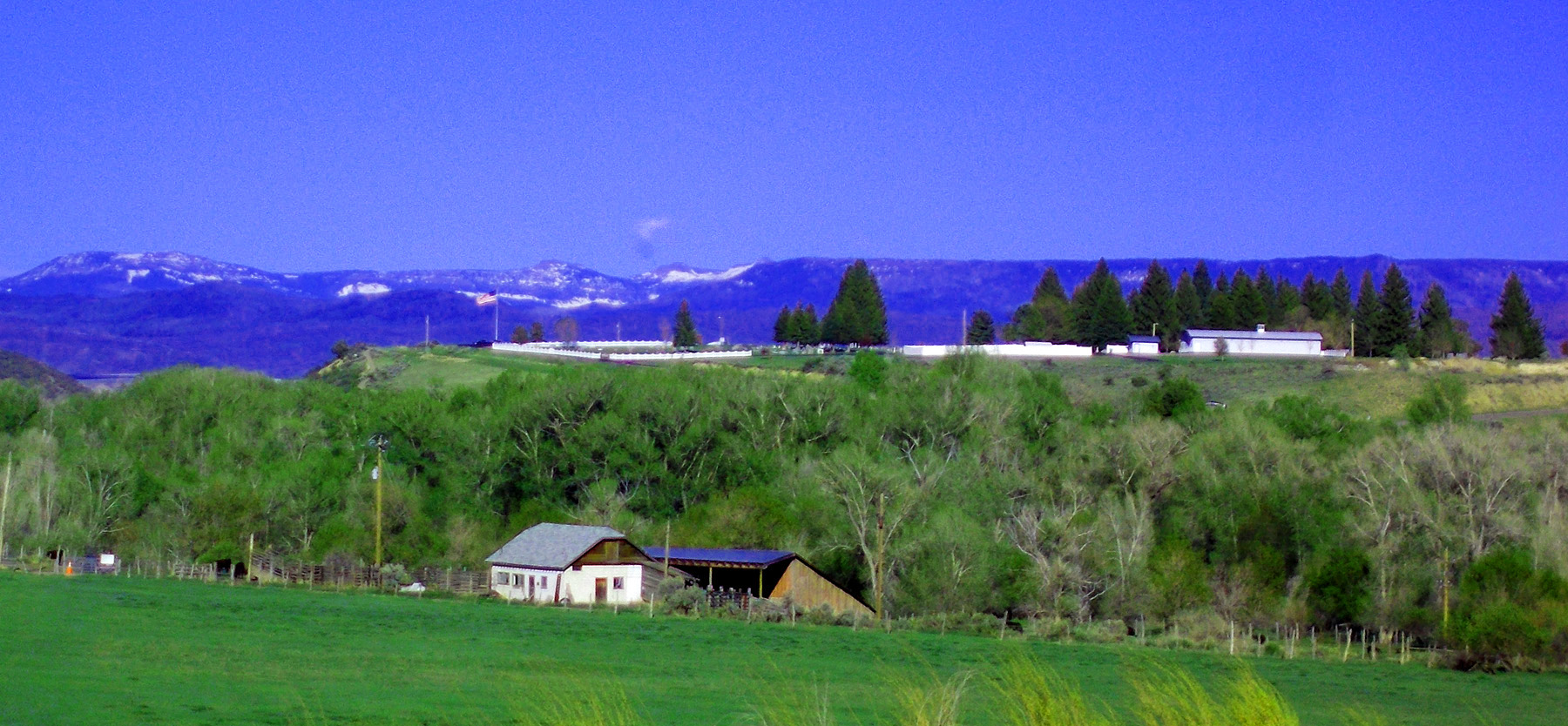
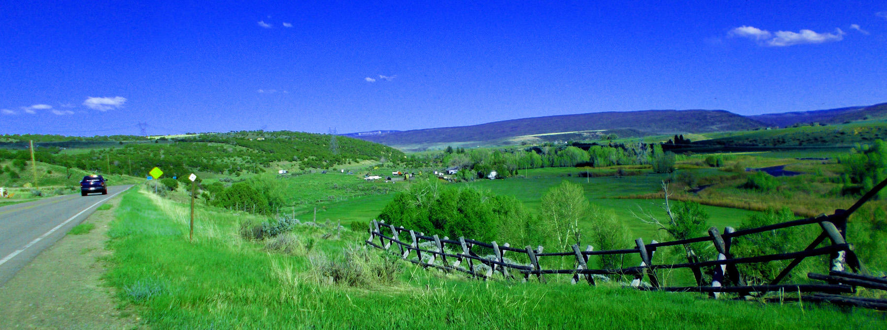
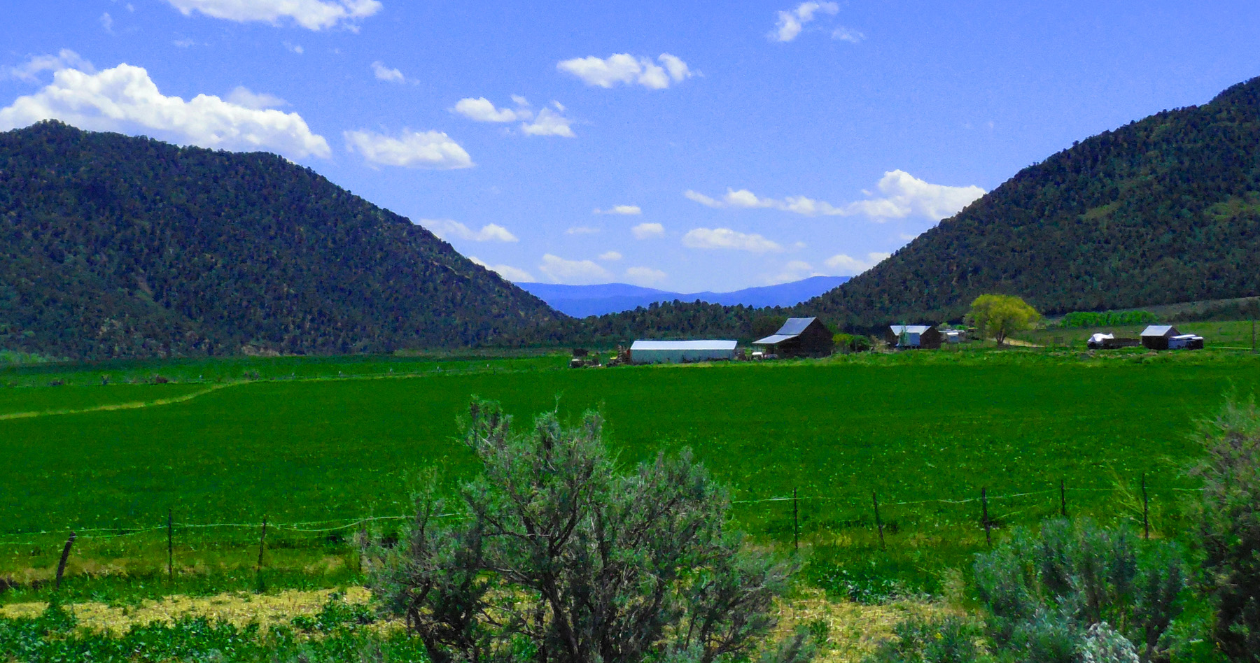
Ranches along Rifle Creek
May 13 2017 - 3:07 pm
May 13 2017 - 3:07 pm
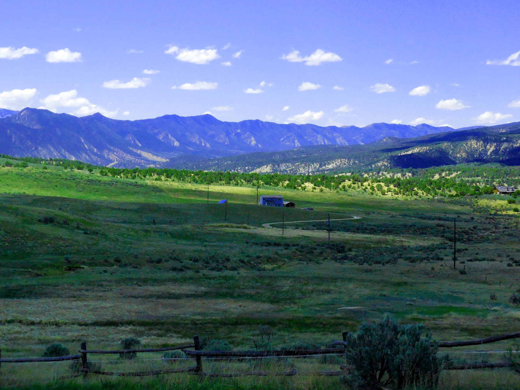
75 / 77
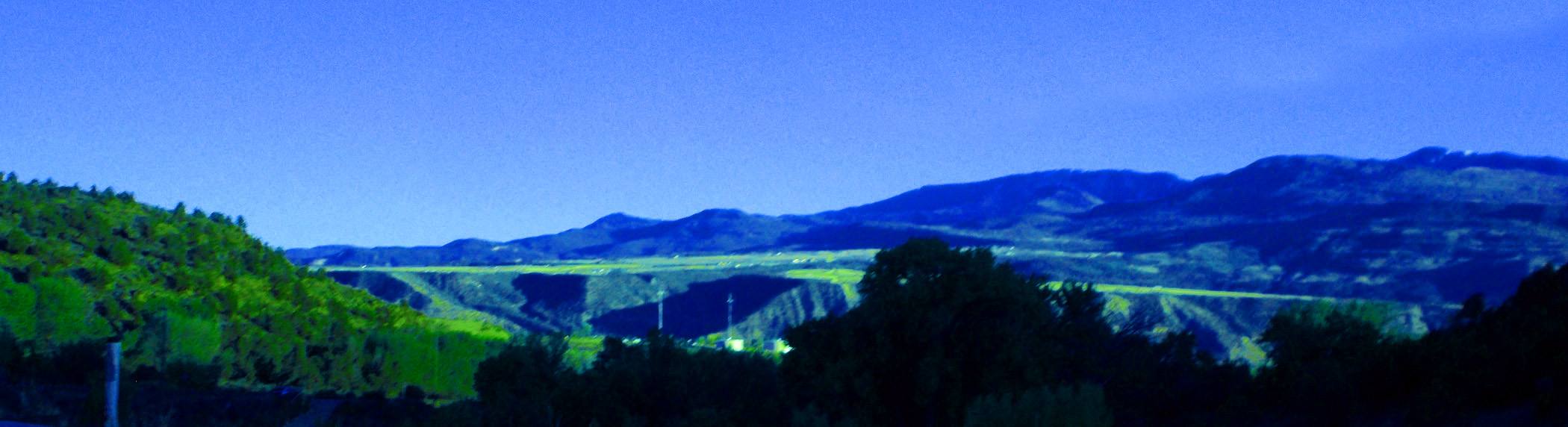
Light green pediment surfaces below Battlement Mesa
May 05 2020 - 7:35 pm
May 05 2020 - 7:35 pm
76 / 77
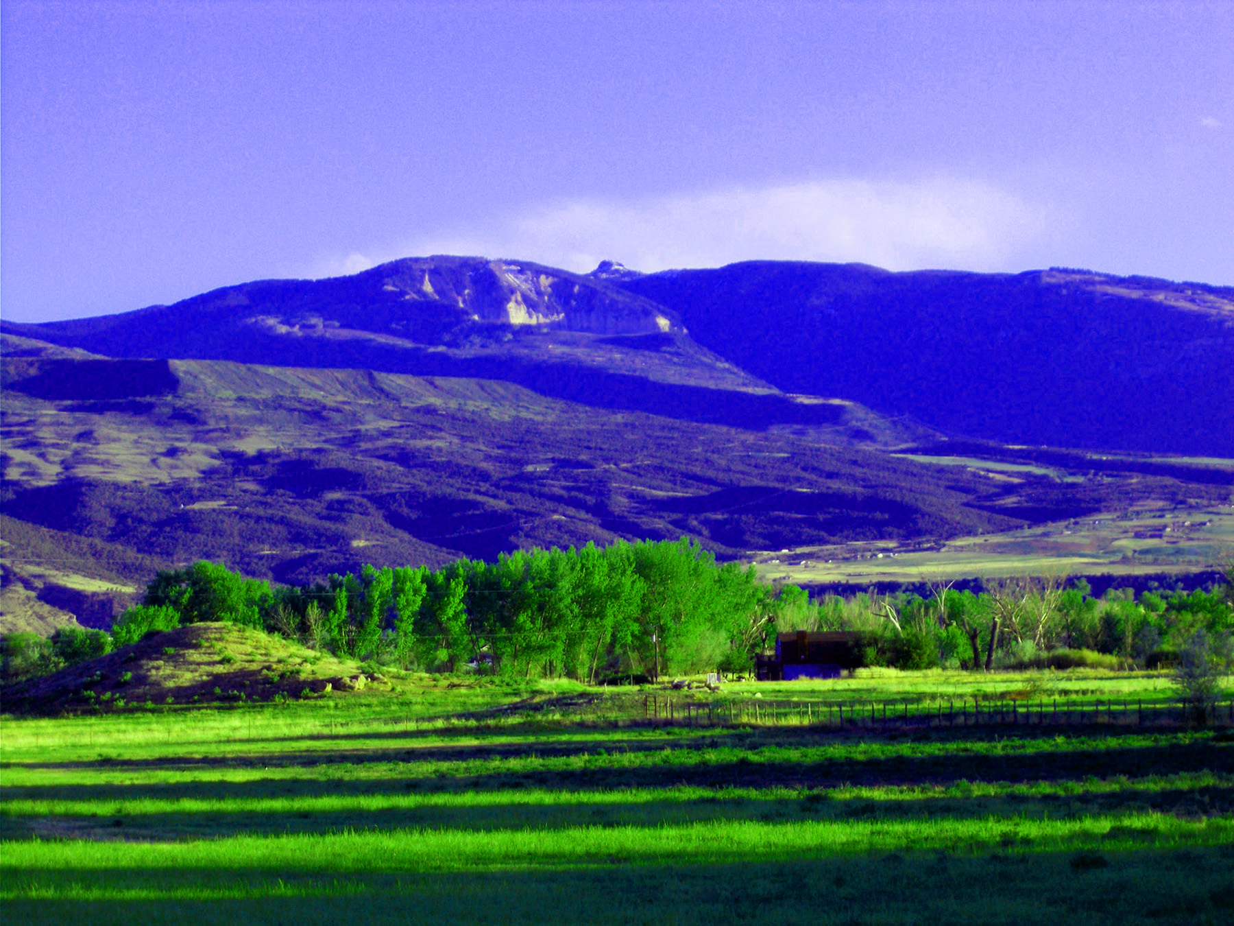
Houston Mountain (10,270')
May 05 2020 - 7:38 pm
May 05 2020 - 7:38 pm
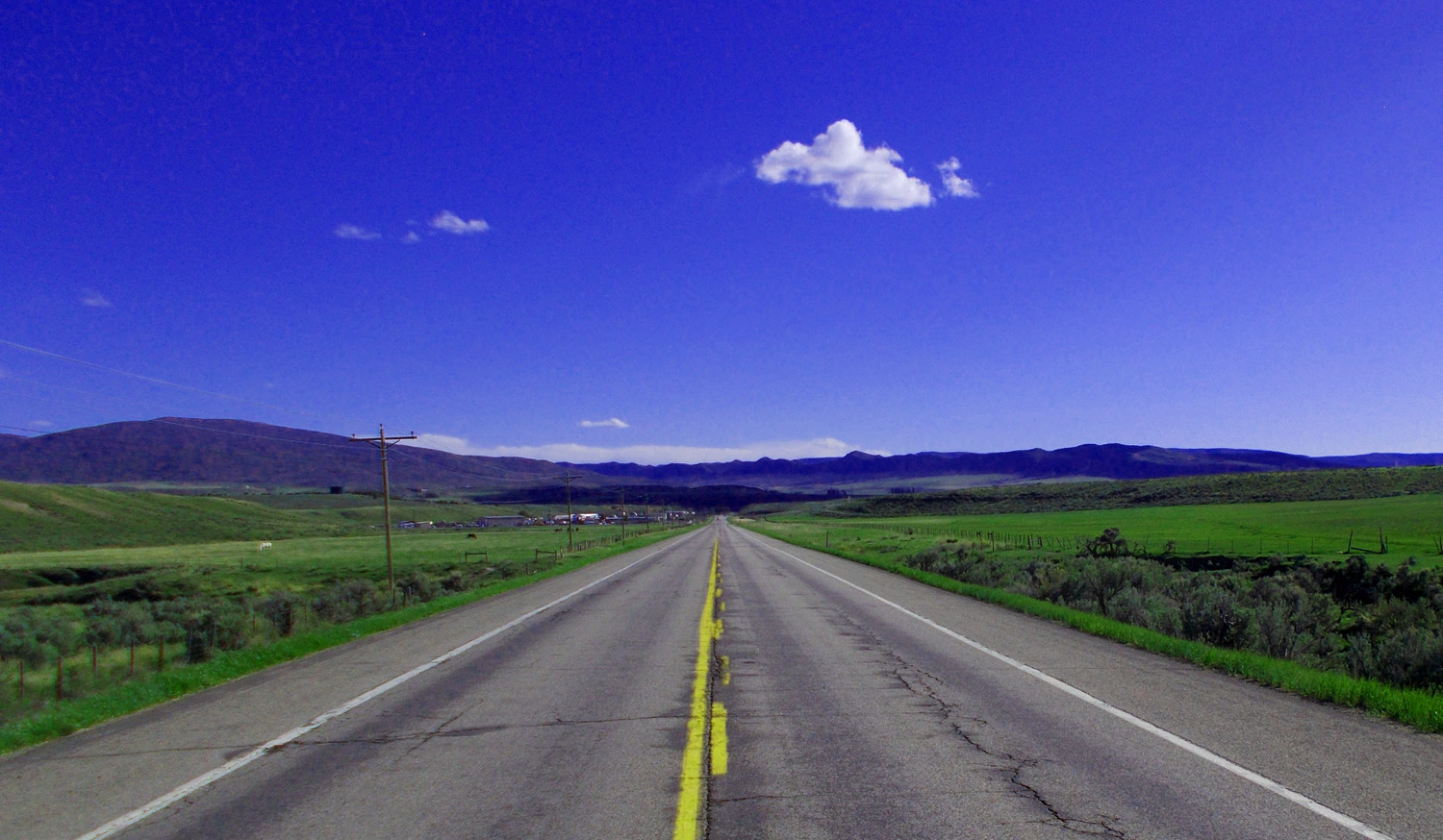
77 / 77
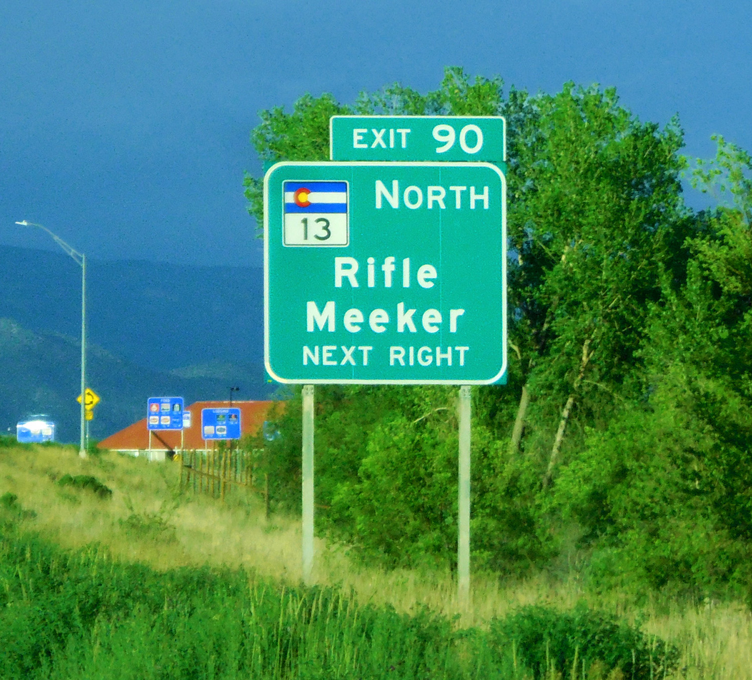
South end of CO 13, Rifle exit, I 70
May 26 2020 - 7:19 pm
May 26 2020 - 7:19 pm