51 slides
Road Index or use your browser "back" arrow or function 30 second cycle: please choose another user-controlled 2 seconds 5 seconds 10 seconds 1 minute
1 / 51
2 / 51

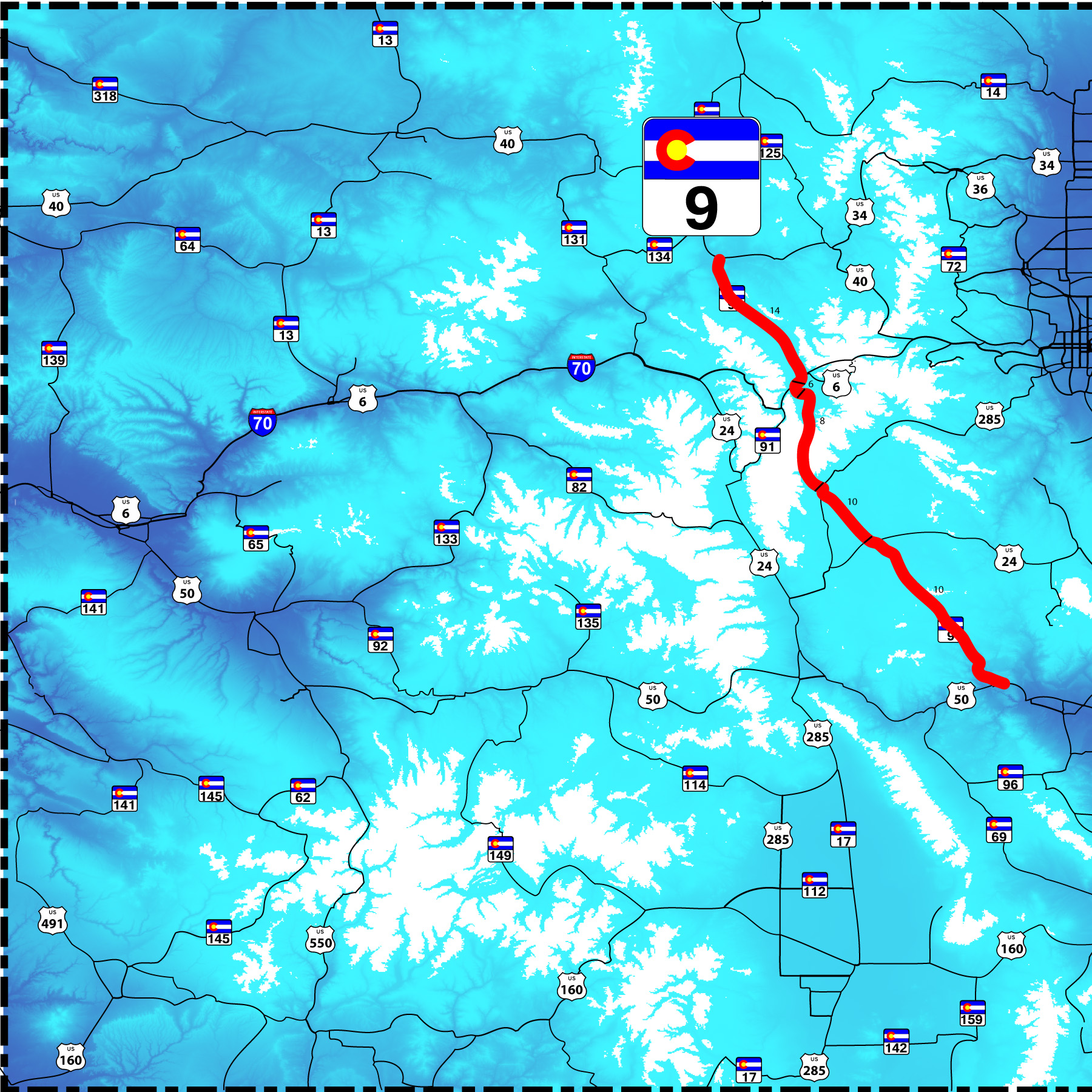
CO 9 north end (US 40 at Kremmling)
3 / 51

Kremmling Welcome Sign
Feb 28 2020 - 12:32 pm
Feb 28 2020 - 12:32 pm
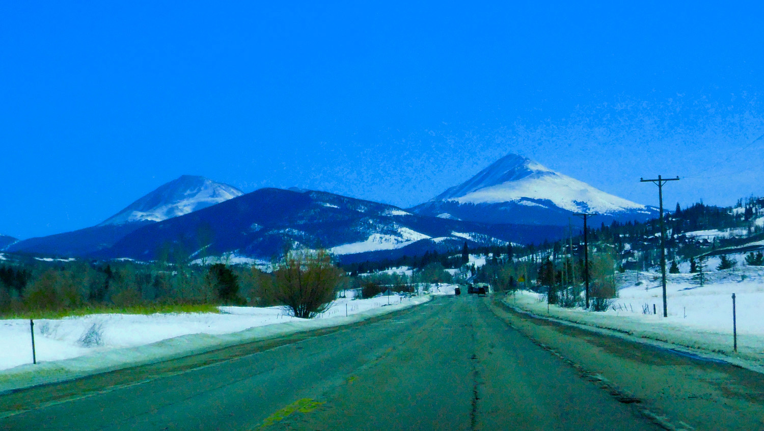
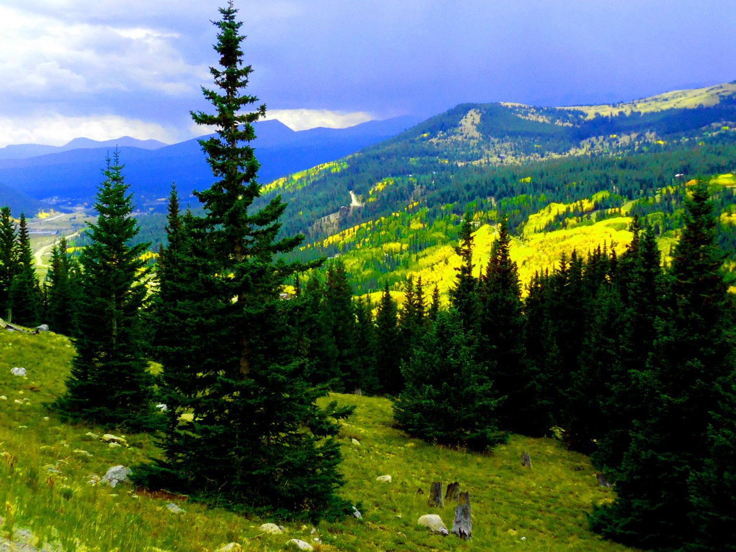
4 / 51
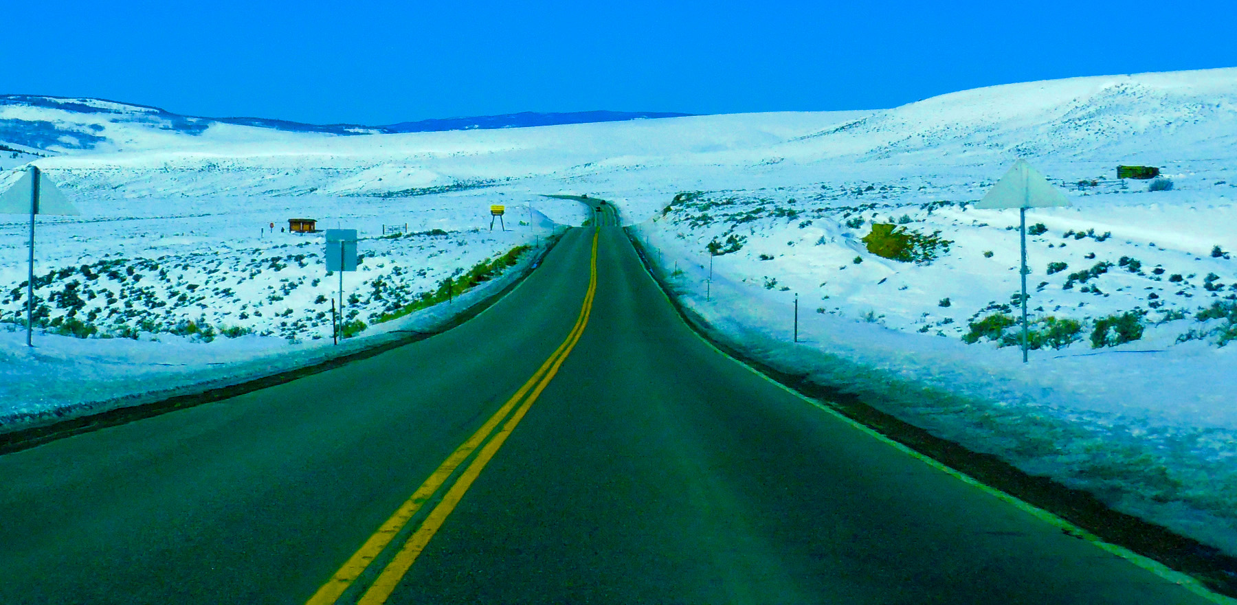
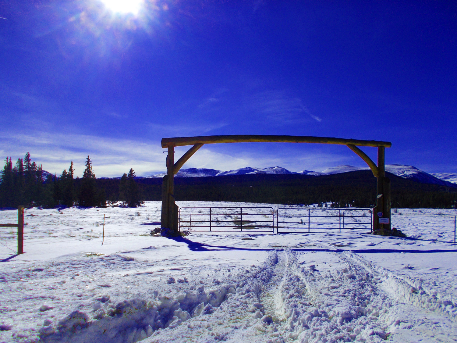
Headed up the Blue River to Hoosier Pass (about 60 miles)
Feb 28 2020 - 12:19 pm
Feb 28 2020 - 12:19 pm
5 / 51
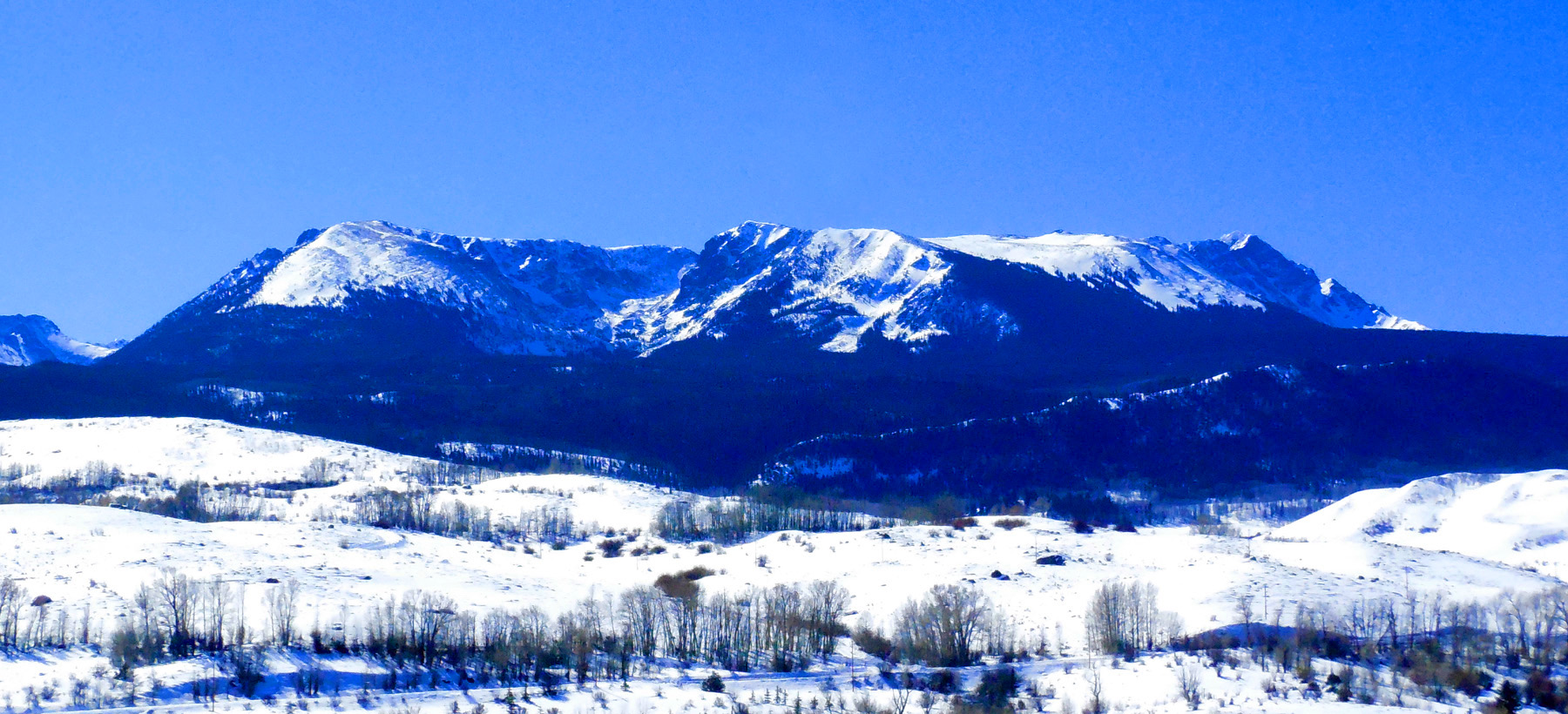
Elliot Ridge of the Gore Range
Feb 28 2020 - 12:14 pm
Feb 28 2020 - 12:14 pm
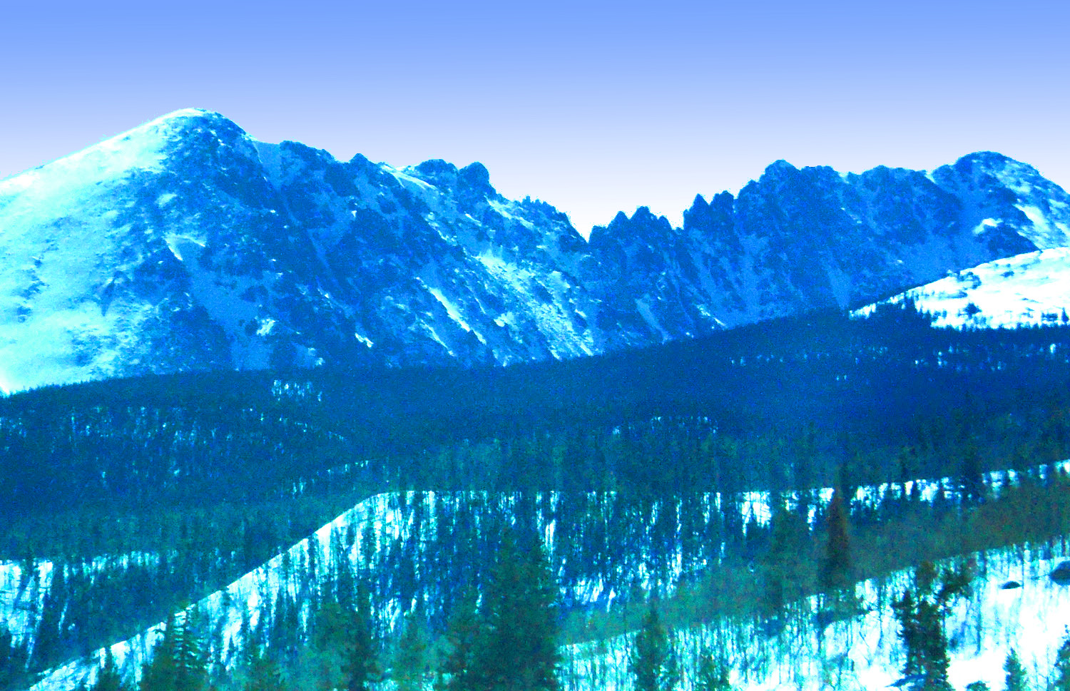
6 / 51
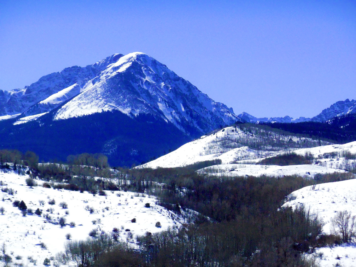
Sheep Mountain
Feb 28 2020 - 12:14 pm
Feb 28 2020 - 12:14 pm
7 / 51
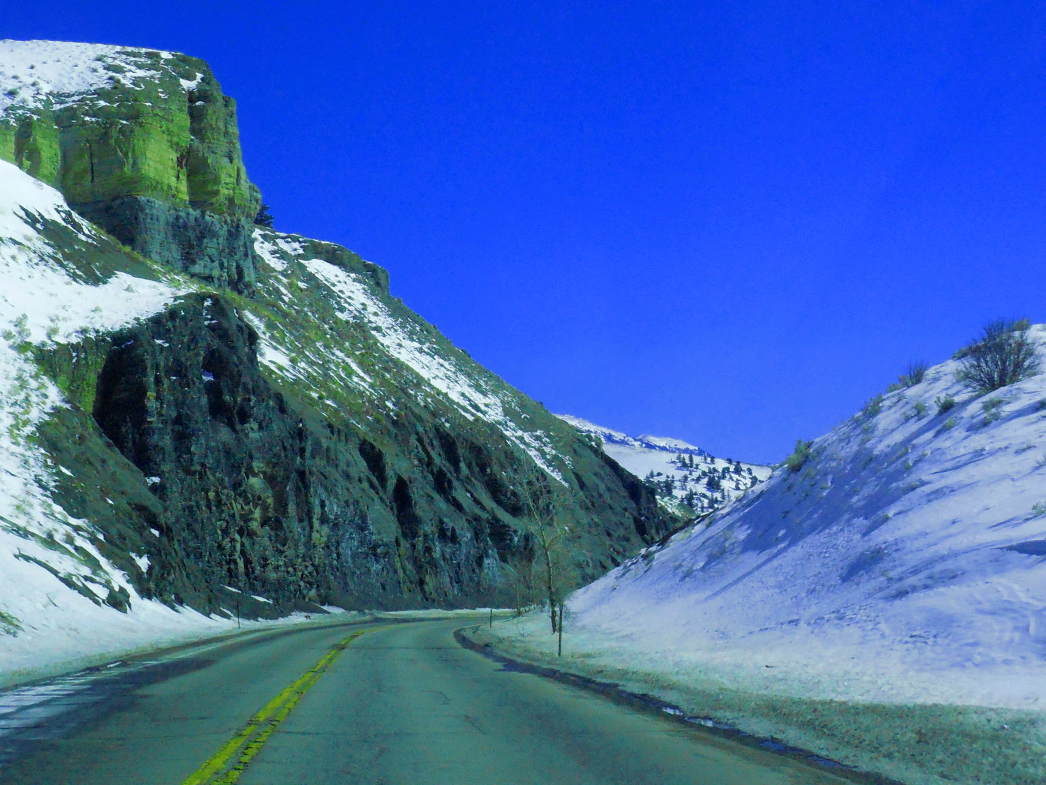
Mancos Shale
Feb 28 2020 - 1:04 pm
Feb 28 2020 - 1:04 pm
8 / 51
Gore Range
Feb 28 2020 - 1:20 pm
Feb 28 2020 - 1:20 pm
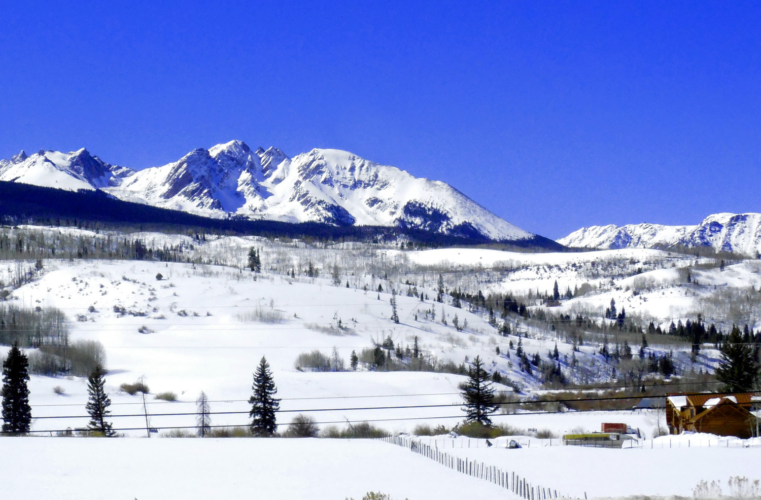
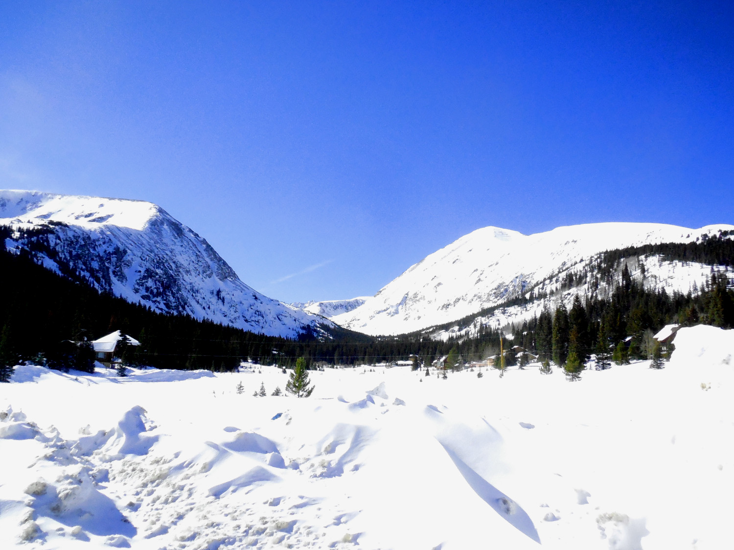
9 / 51
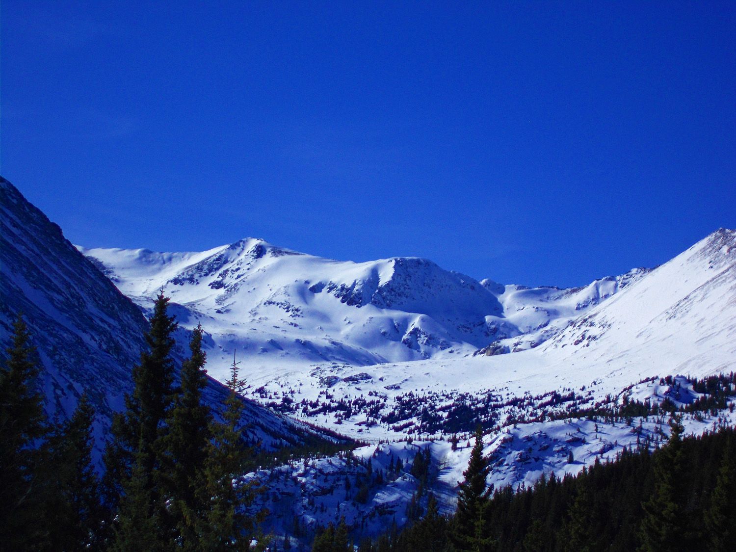
Meridian Peak (12,425')
Feb 28 2020 - 12:07 pm
Feb 28 2020 - 12:07 pm
10 / 51
Mt. Powell (13,586') and Eagles Nest (13,432'), two highest peaks in Gore Range
Feb 28 2020 - 12:07 pm
Feb 28 2020 - 12:07 pm
11 / 51
Sawtooth Ridge on Mt. Powell
Feb 28 2020 - 1:16 pm
Feb 28 2020 - 1:16 pm
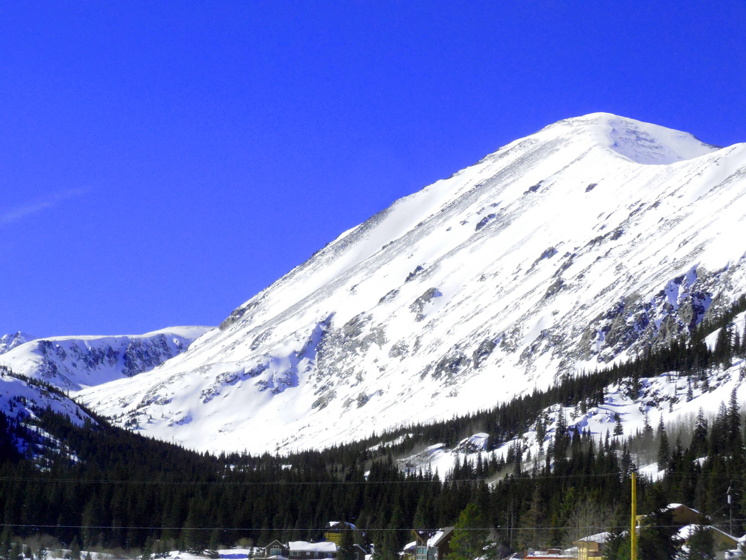
12 / 51
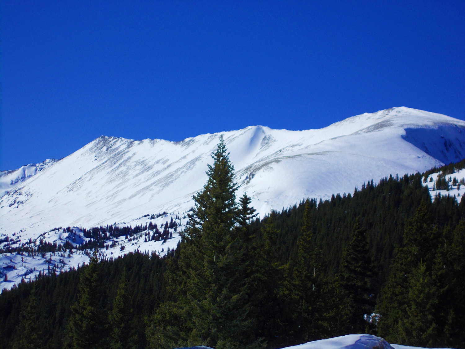
Keller Mountain (13,085)
Feb 28 2020 - 12:03 pm
Feb 28 2020 - 12:03 pm
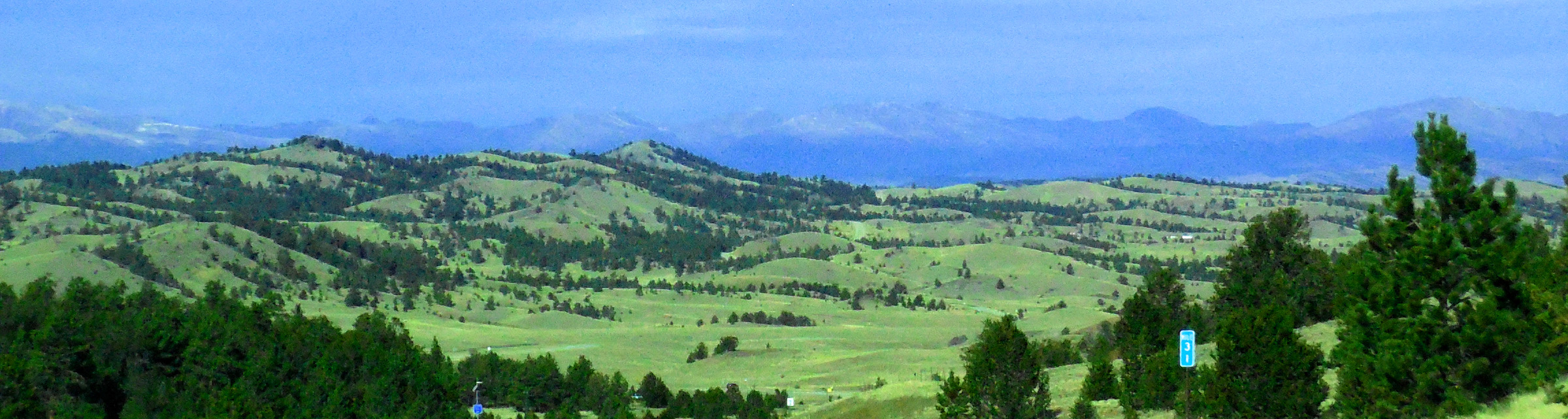
13 / 51
Looking North: Williams Fork Range
Feb 28 2020 - 12:02 pm
Feb 28 2020 - 12:02 pm
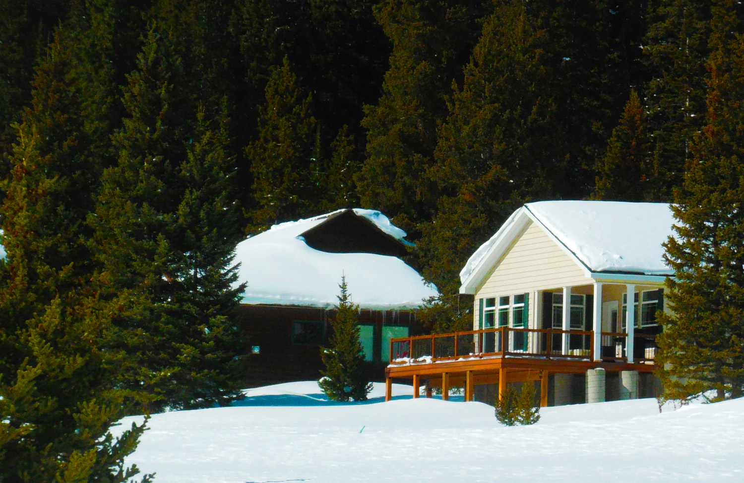
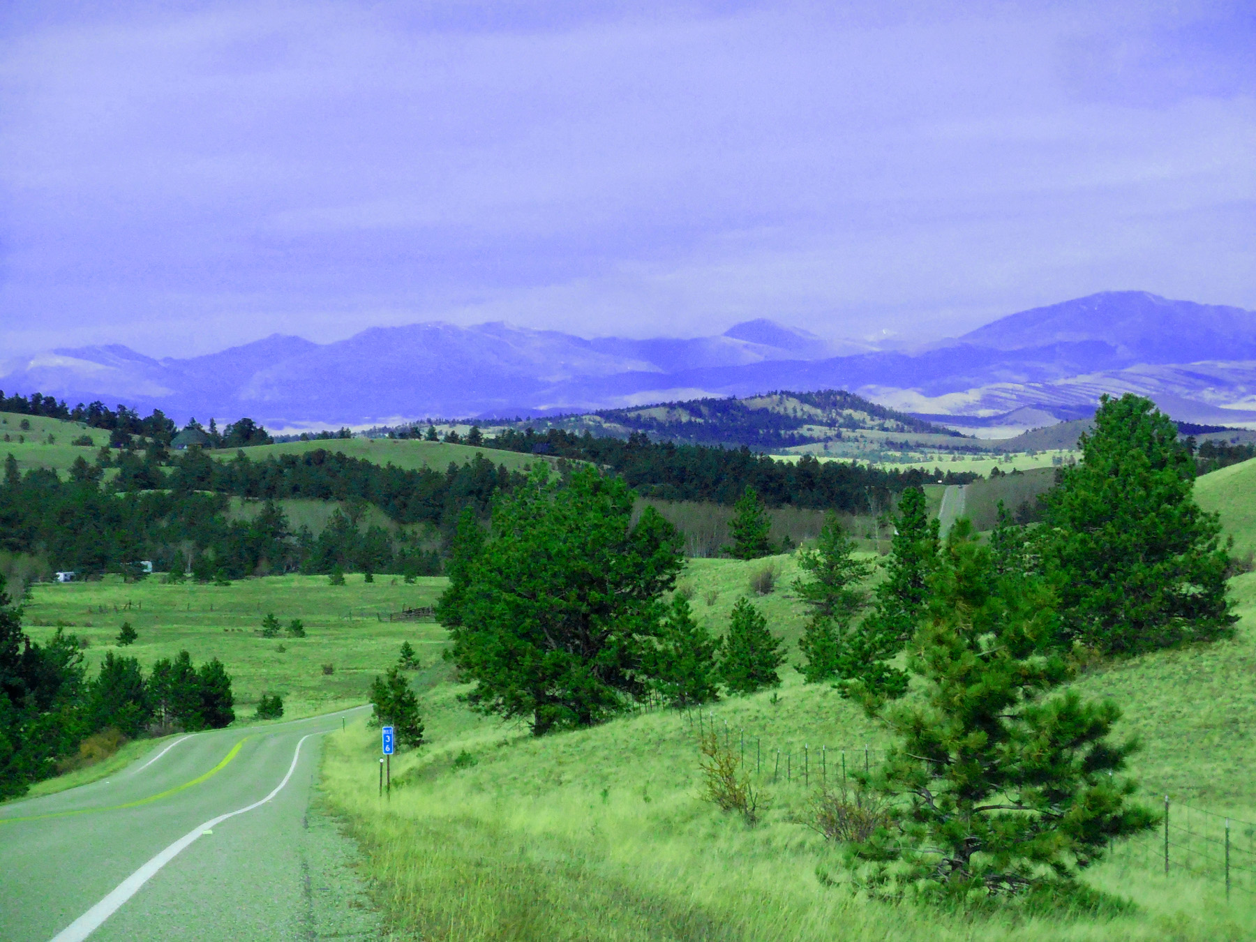
14 / 51
Houses on Blue River Terraces
Feb 28 2020 - 11:59 am
Feb 28 2020 - 11:59 am
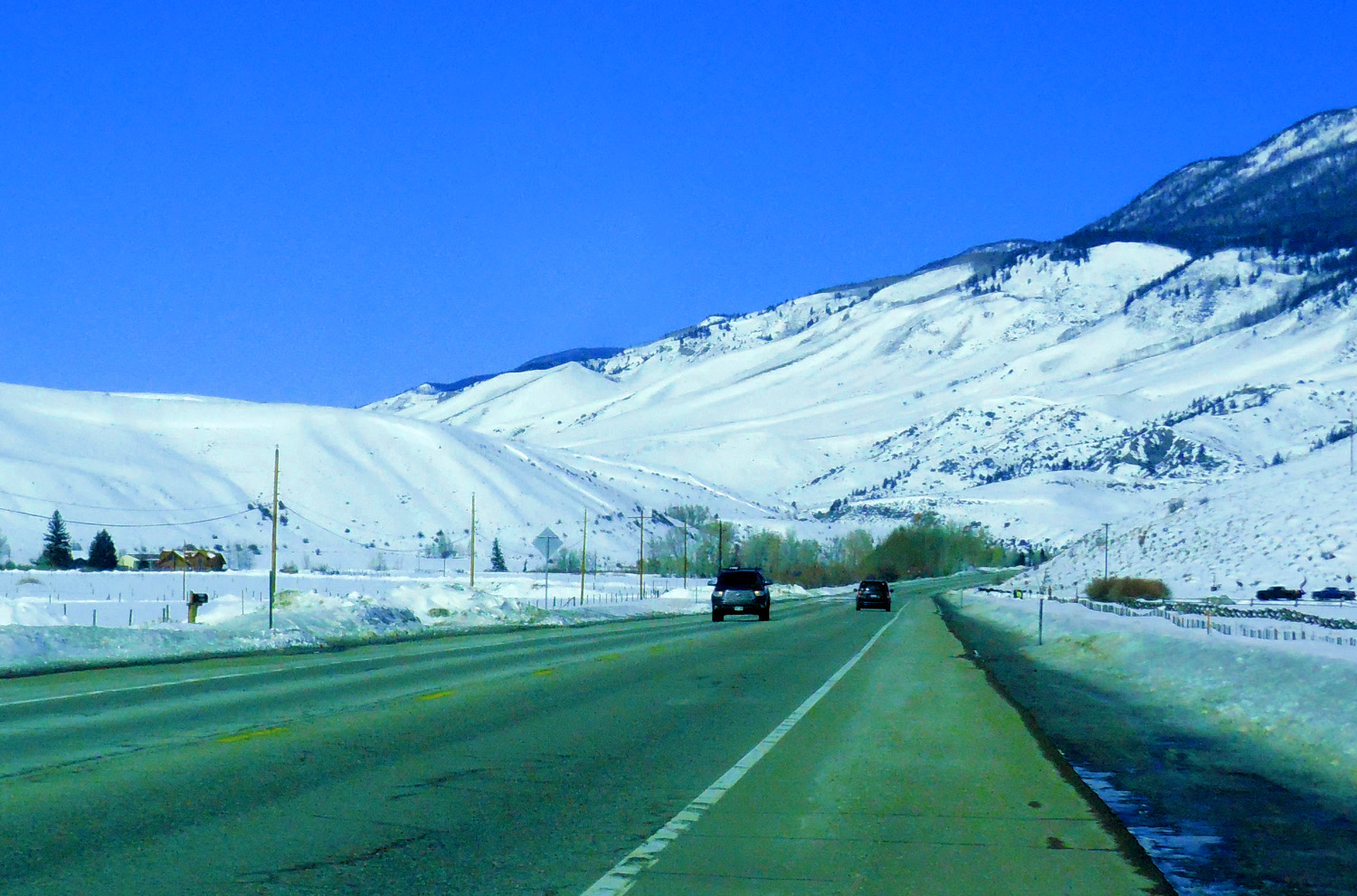
15 / 51
Silverthorne
Feb 28 2020 - 11:51 am pm
Feb 28 2020 - 11:51 am pm
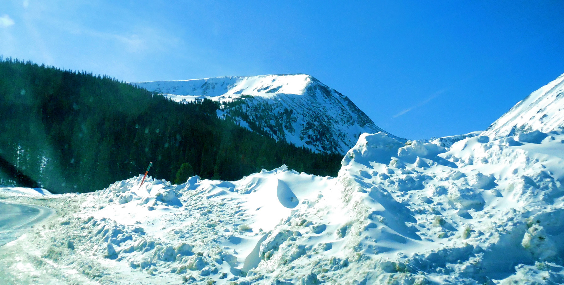
16 / 51
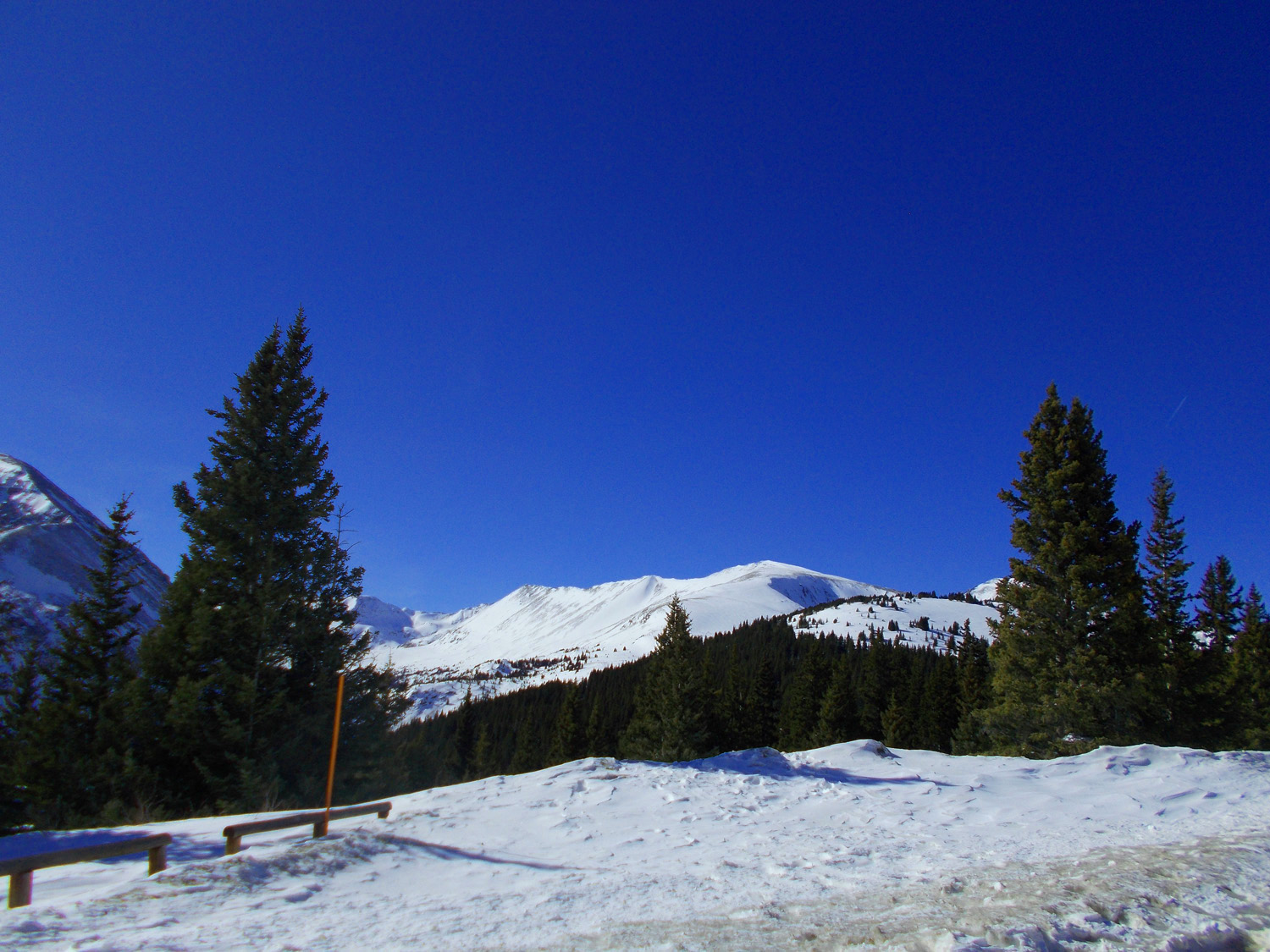
Unnamed Peak (13,333')
Feb 28 2020 - 11:51 am
Feb 28 2020 - 11:51 am
17 / 51
Frisco
Feb 28 2020 - 2:03 pm
Feb 28 2020 - 2:03 pm
18 / 51
Looking East at the Front Range (Bald Mountain, 13,684')
Feb 28 2020 - 2:28 pm
Feb 28 2020 - 2:28 pm
19 / 51
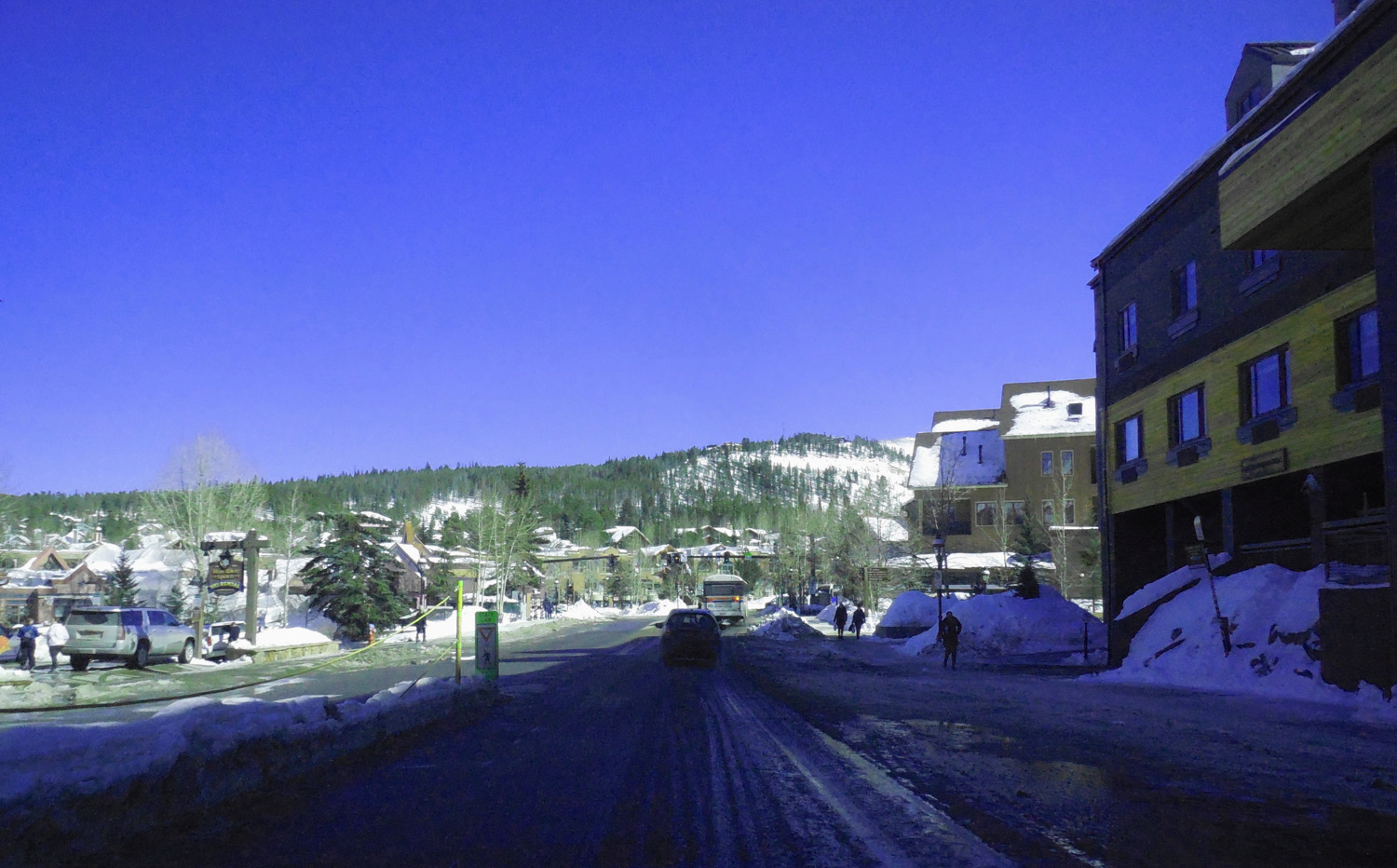
Breckenridge
Feb 28 2020 - 2:15 pm
Feb 28 2020 - 2:15 pm
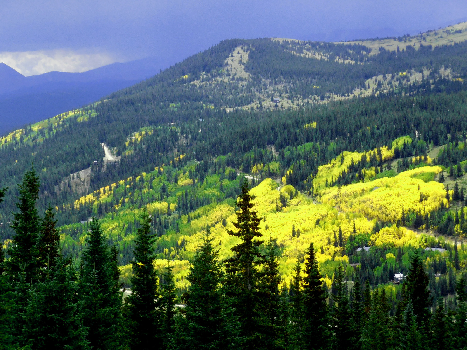
20 / 51
Peak Ten (13,633') of the Ten Mile Range
Feb 28 2020 - 2:16 pm
Feb 28 2020 - 2:16 pm
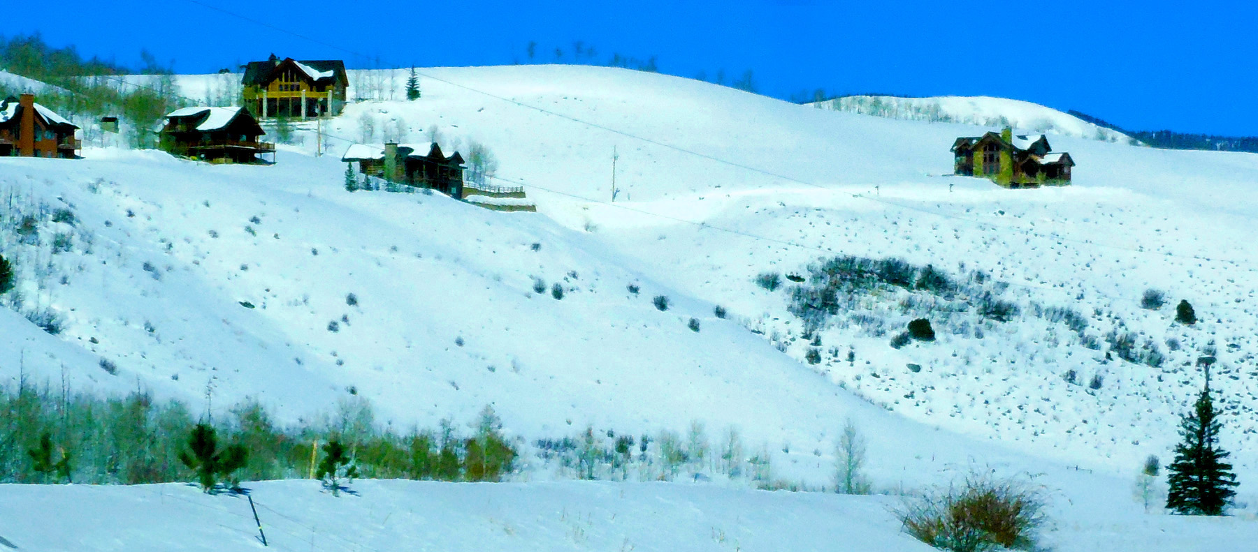
21 / 51
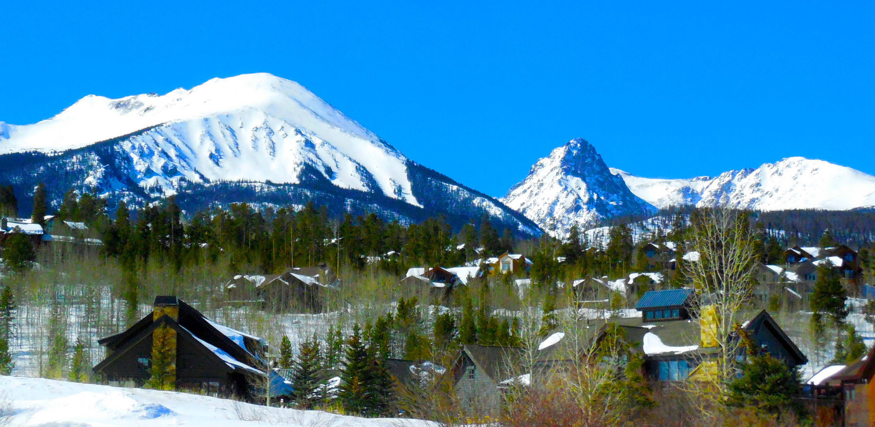
Snow Covered Houses
Feb 28 2020 - 2:16 pm
Feb 28 2020 - 2:16 pm
22 / 51
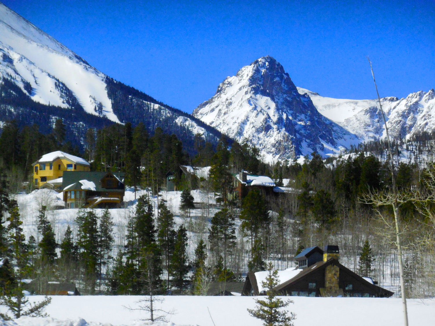
Mt. Helen (13,164')
Feb 28 2020 - 2:17 pm
Feb 28 2020 - 2:17 pm
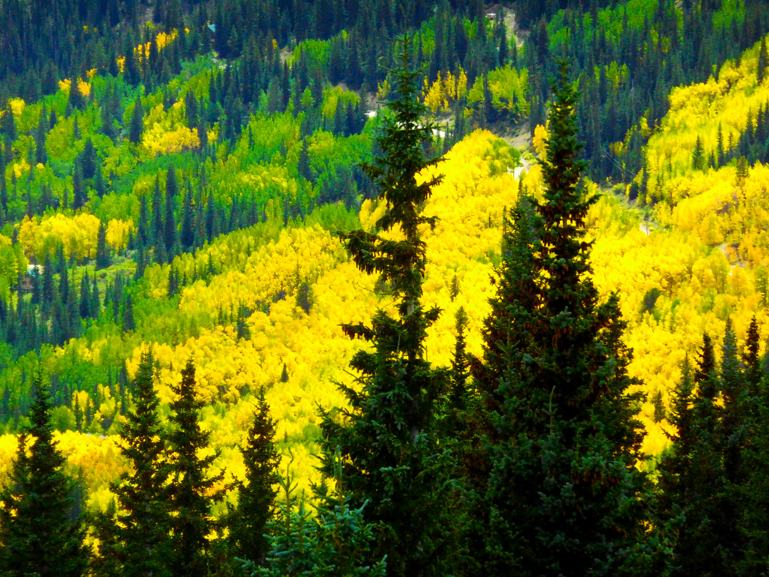
23 / 51
Framed Ten Mile Range
Feb 28 2020 - 2:49 pm
Feb 28 2020 - 2:49 pm
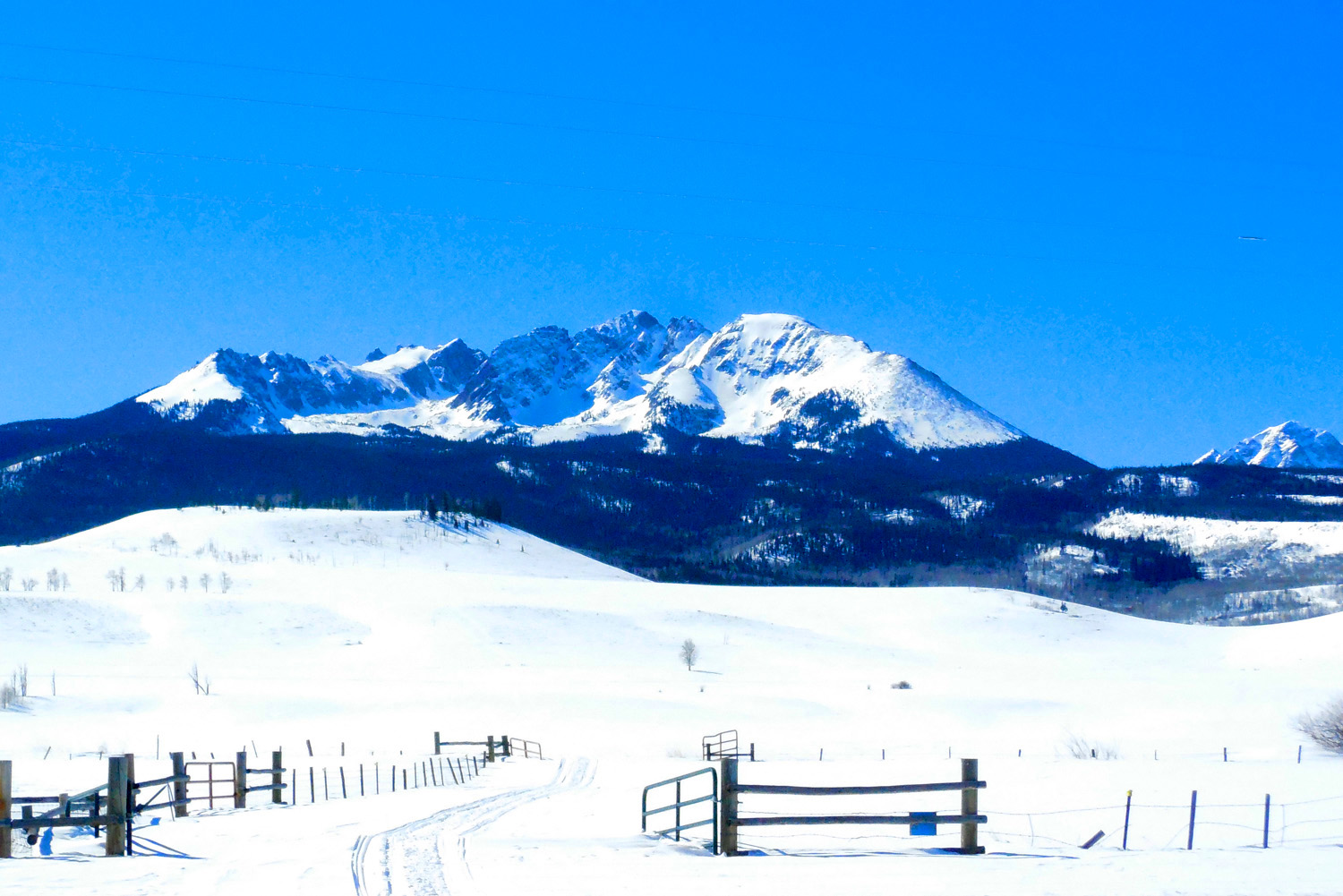
24 / 51
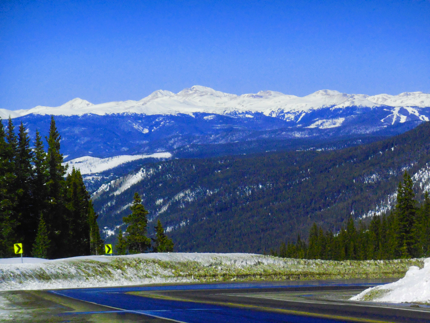
Ten Mile Range
Feb 28 2020 - 2:35 pm
Feb 28 2020 - 2:35 pm
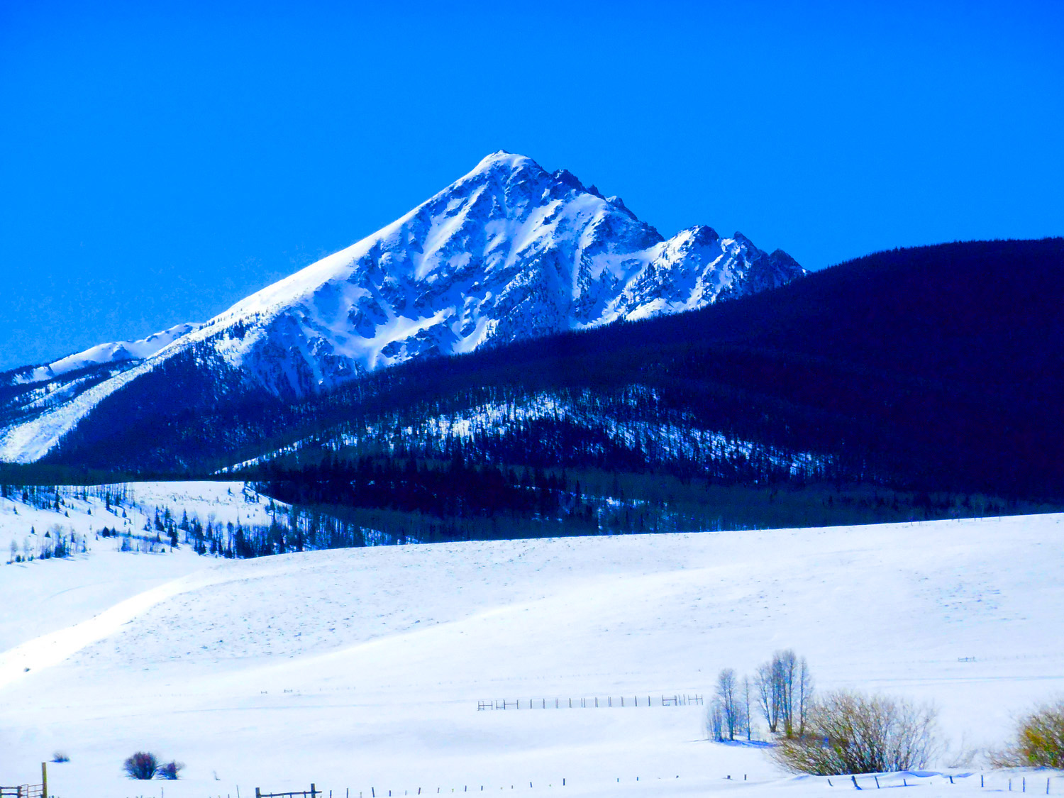
25 / 51
Quandary Peak (l4,265')
Feb 28 2020 - 2:34 pm
Feb 28 2020 - 2:34 pm
26 / 51
Close Up
Feb 28 2020 - 2:35 pm
Feb 28 2020 - 2:35 pm
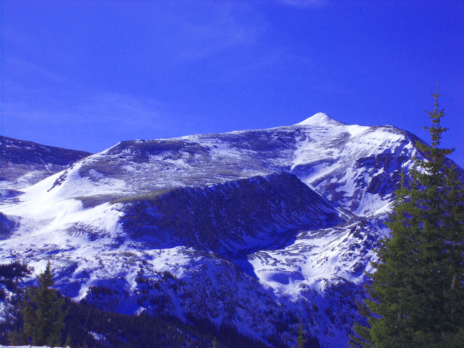
27 / 51

Mt. Bross 14,172', left) and Mt. Lincoln (14,286', right)
Feb 28 2020 - 2:33 pm
Feb 28 2020 - 2:33 pm
28 / 51
Mt. Lincoln
Feb 28 2020 - 2:33 pm
Feb 28 2020 - 2:33 pm
29 / 51
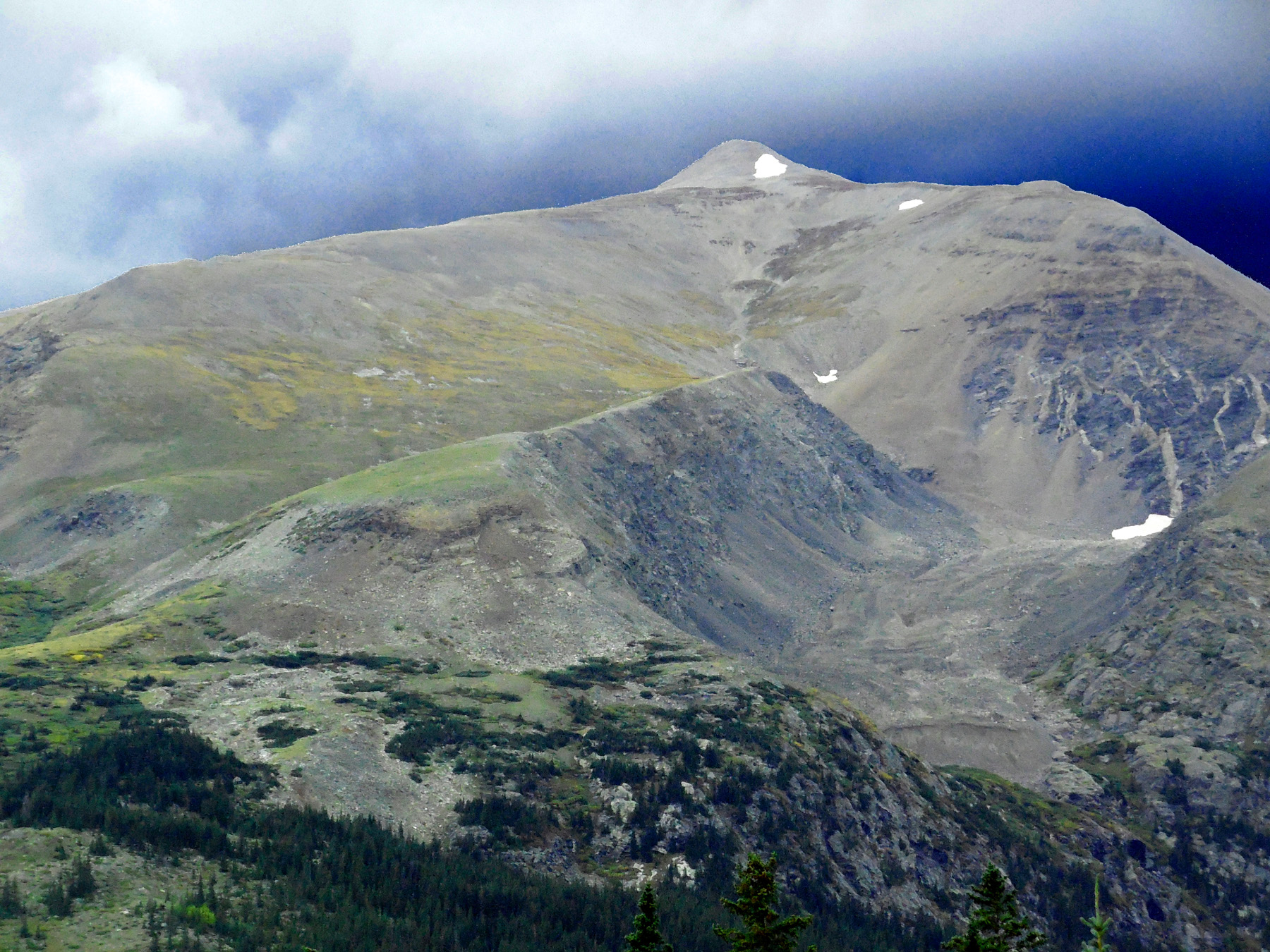
In September with Rock Glacier
Sep 11 2017 - 2:15 pm
Sep 11 2017 - 2:15 pm
30 / 51
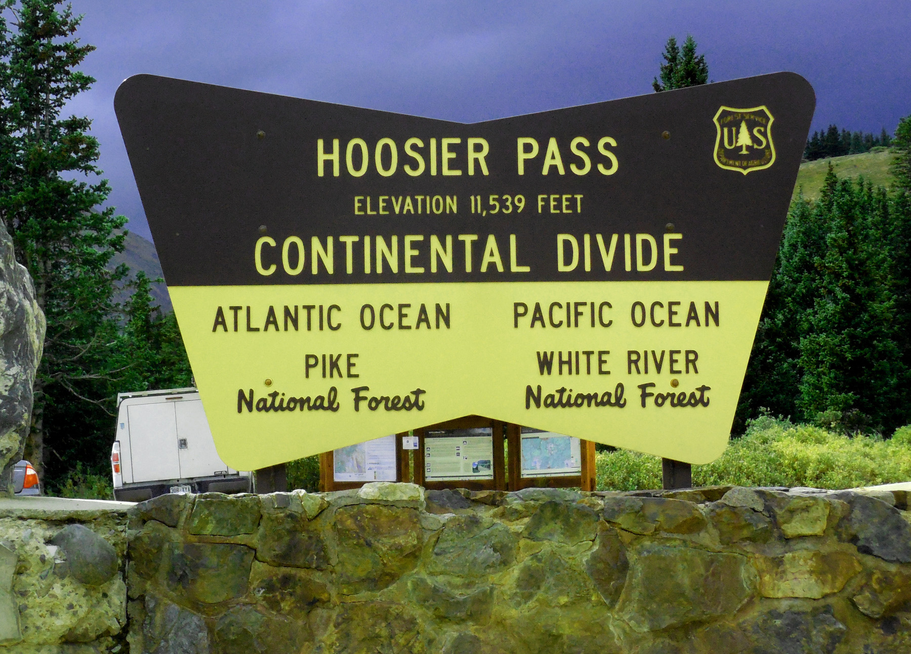
(I was raised as a Hoosier)
Sep 11 2017 - 2:23 pm
Sep 11 2017 - 2:23 pm
31 / 51
Middle Fork South Platte River
Sep 11 2017 - 2:16 pm
Sep 11 2017 - 2:16 pm
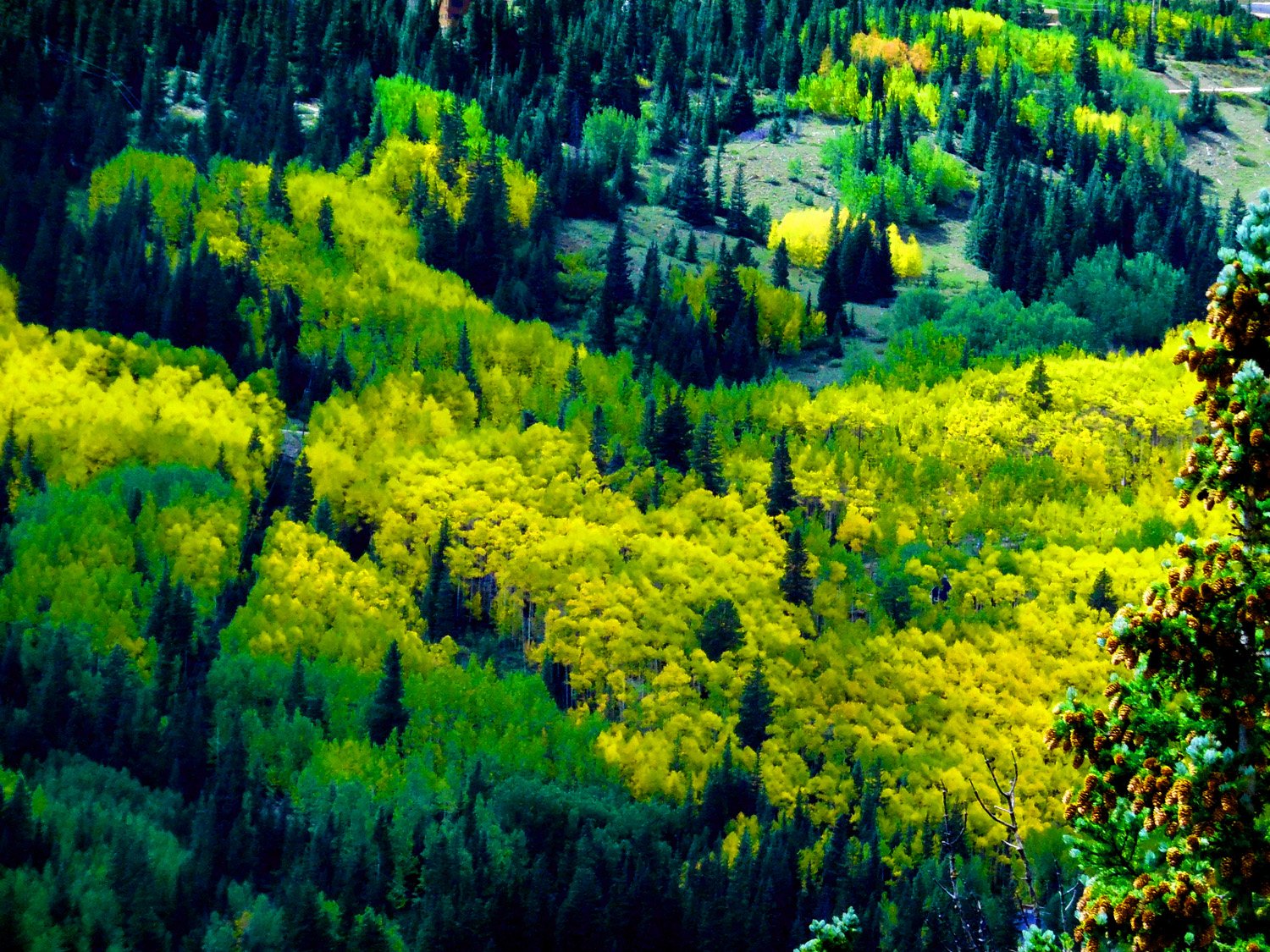
32 / 51
October Colors
Sep 11 2017 - 2:16 pm
Sep 11 2017 - 2:16 pm
33 / 51
Colorful Colorado
Sep 11 2017 - 2:14 pm
Sep 11 2017 - 2:14 pm
34 / 51
Golden Aspen
Sep 11 2017 - 2:14 pm
Sep 11 2017 - 2:14 pm
35 / 51
Starting to Turn at 10,000' in mid September
Sep 11 2017 - 2:09 pm
Sep 11 2017 - 2:09 pm
36 / 51
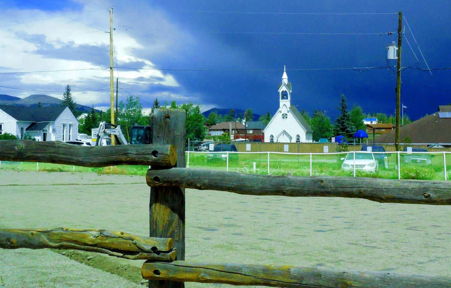
Chapel in Fairplay
Sep 11 2017 - 1:47 pm
Sep 11 2017 - 1:47 pm
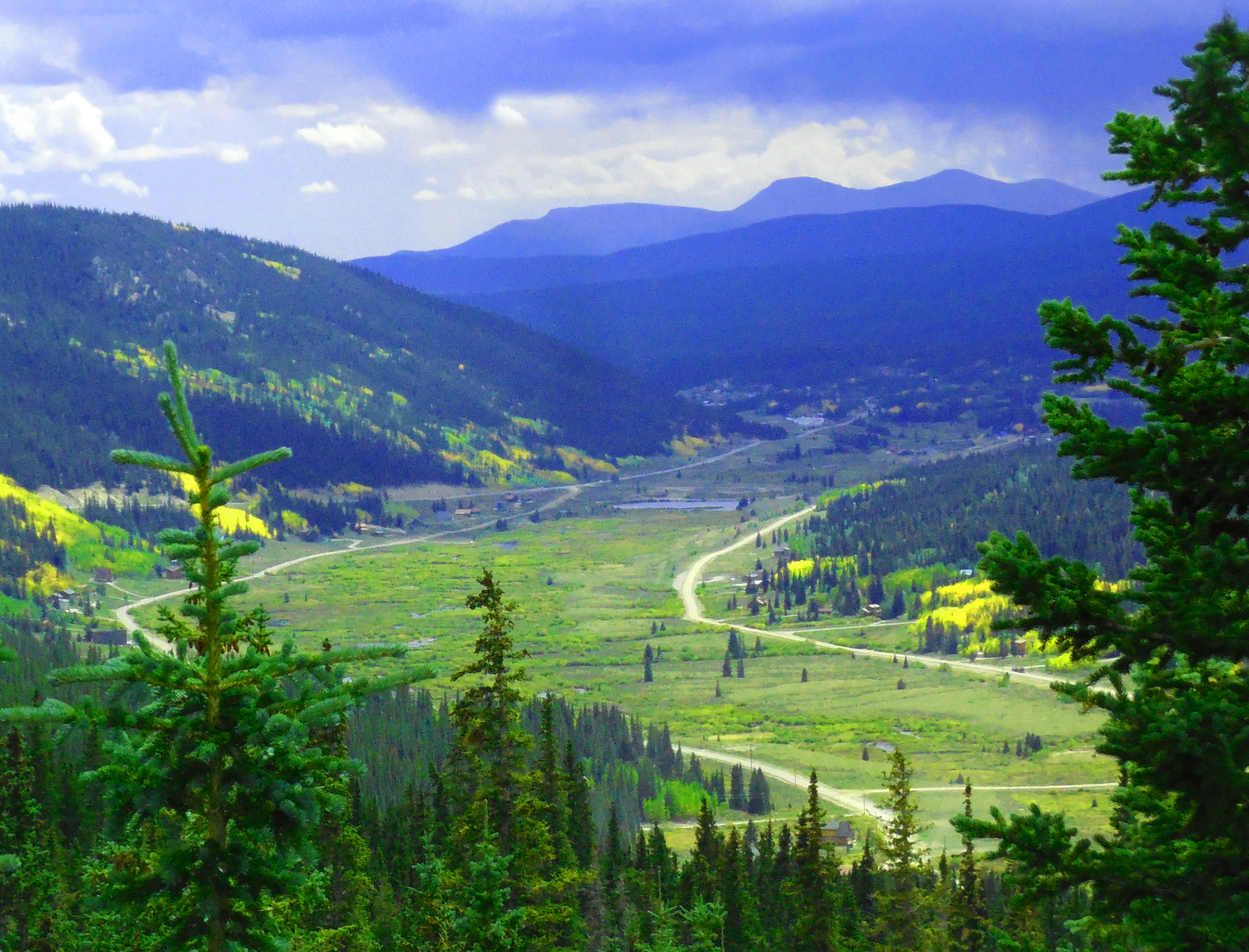
37 / 51
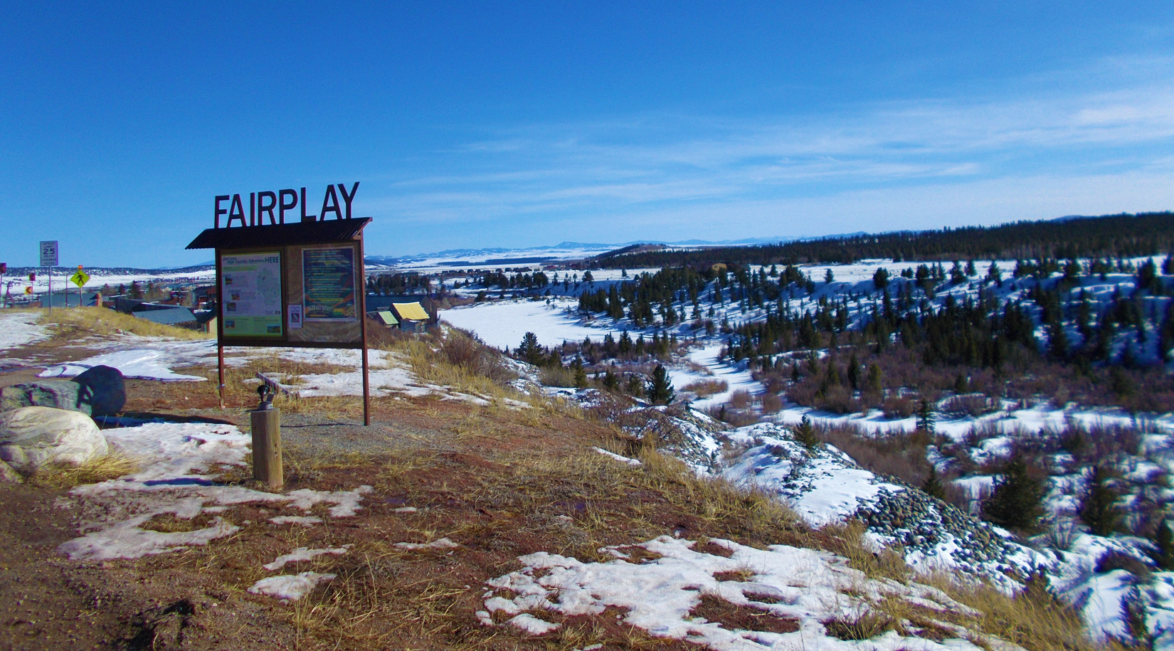
Fairplay and the North End of South Park
Feb 28 2020 - 2:55 pm
Feb 28 2020 - 2:55 pm
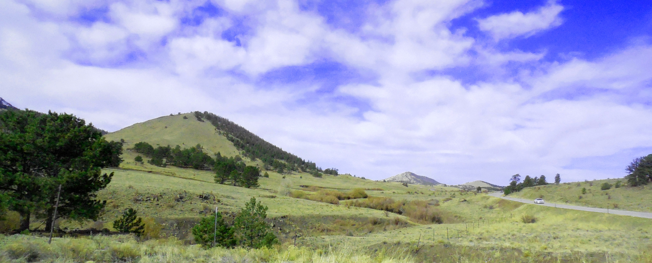
38 / 51
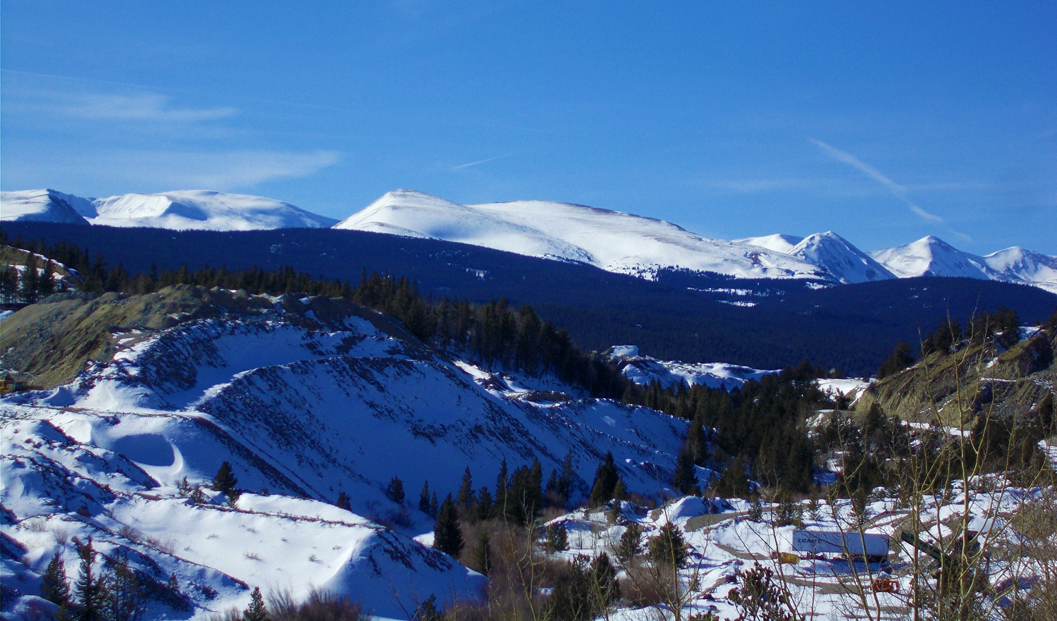
Mined Glacial Deposits from the Ten Mile Range
Feb 28 2020 - 2:56 pm
Feb 28 2020 - 2:56 pm
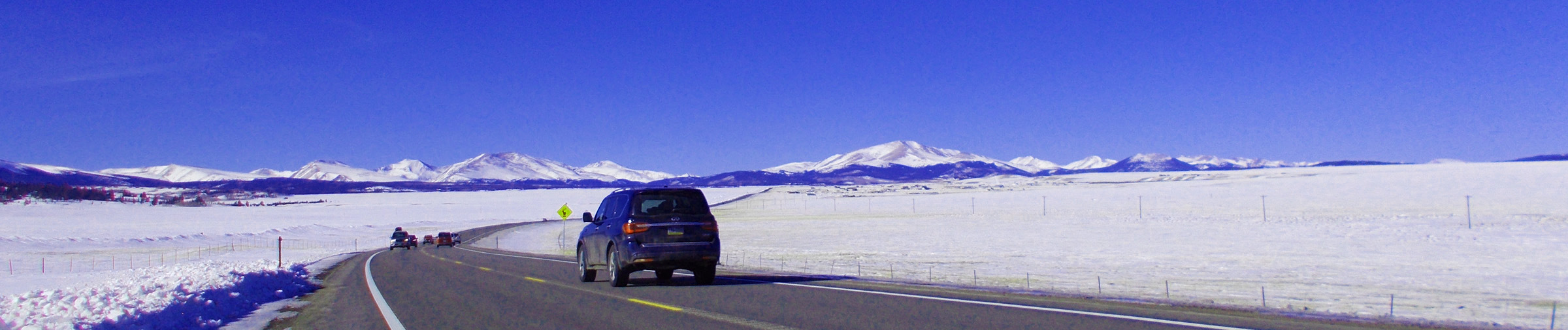
39 / 51
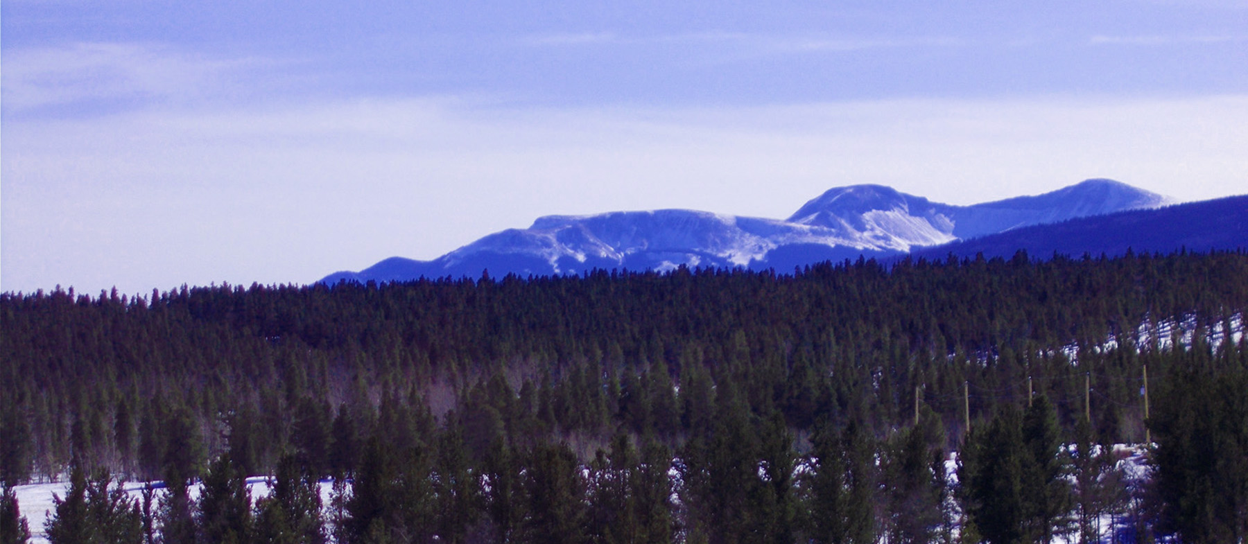
Mt. Sherman in early March(14,036')
Feb 28 2020 - 2:56 pm
Feb 28 2020 - 2:56 pm
40 / 51
Mt. Sherman in early November(14,036')
Nov 06 2020 - 12:03 pm
Nov 06 2020 - 12:03 pm
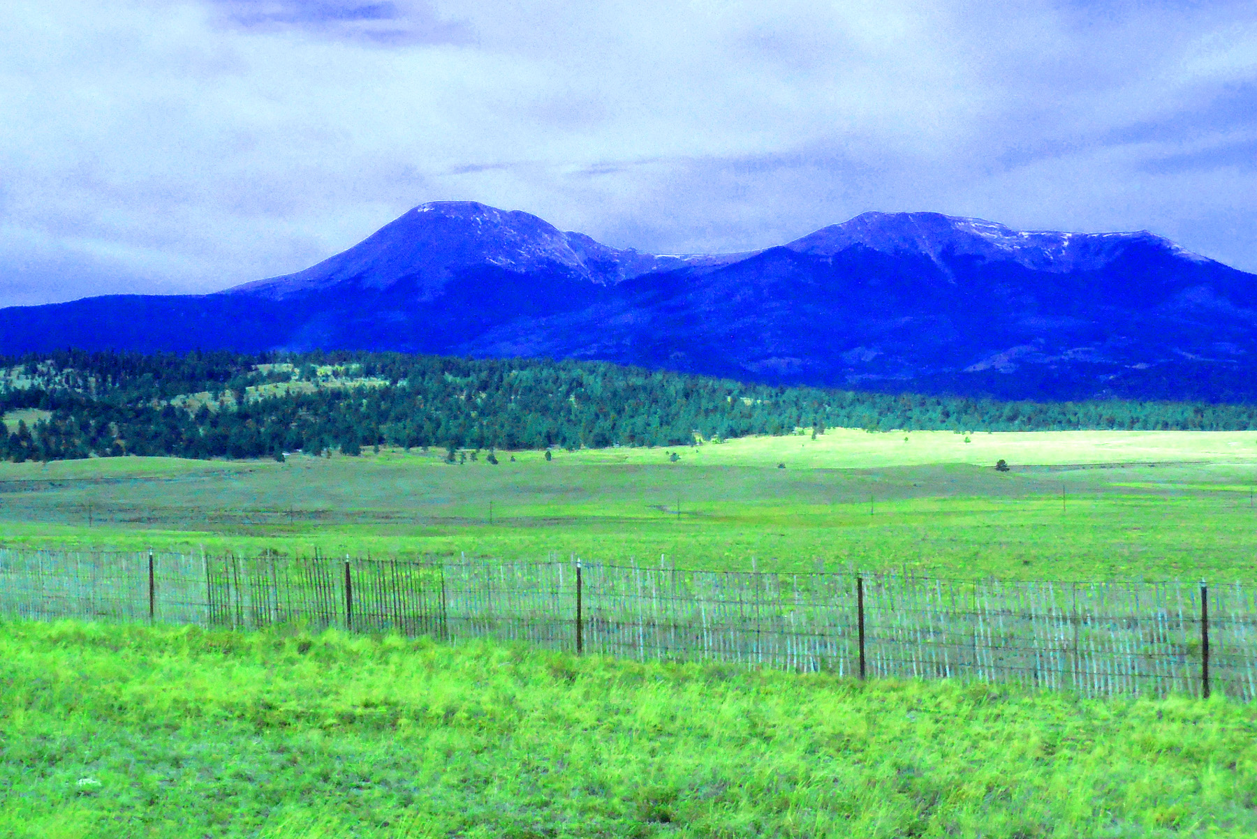
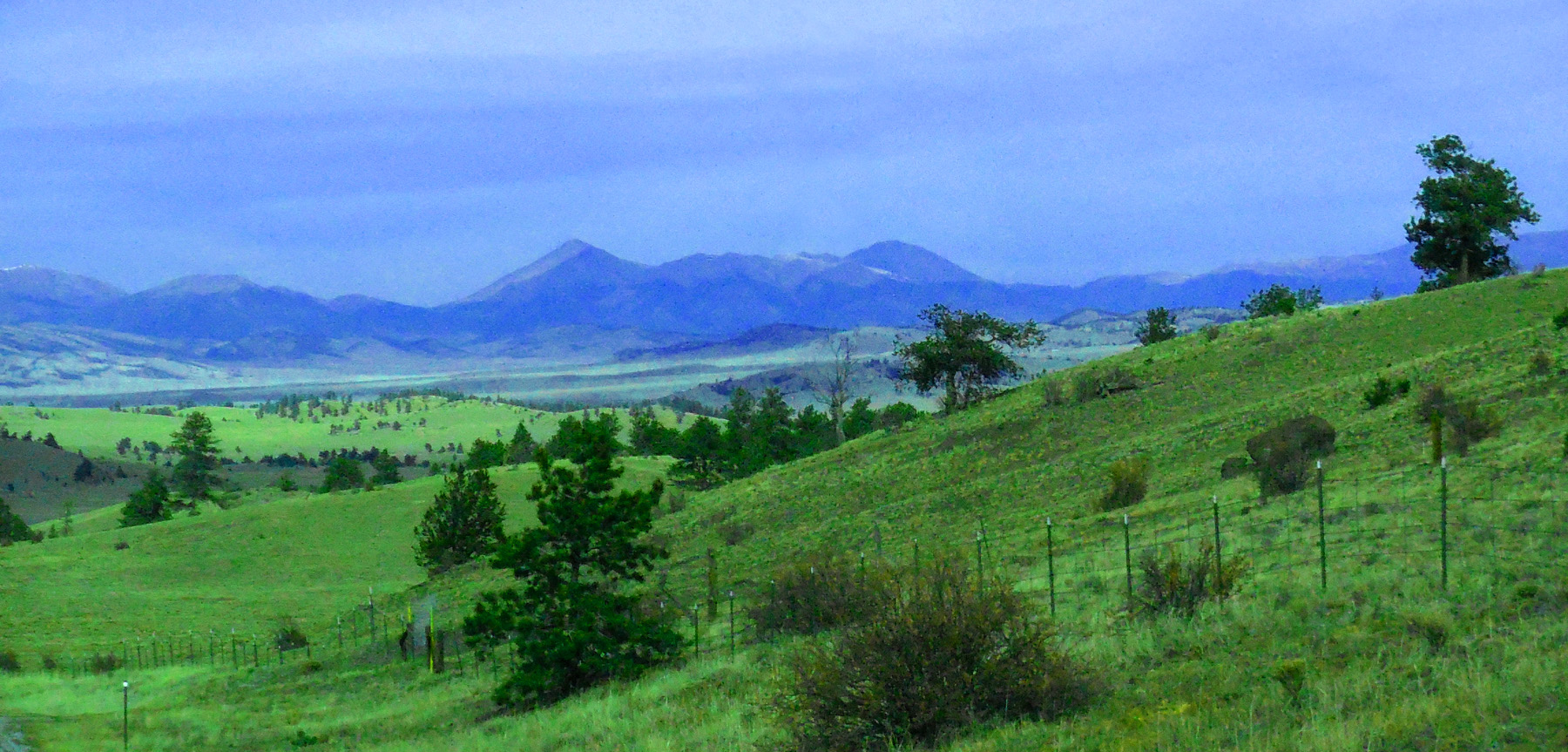
41 / 51
South Park, Tarryall Mountains, and Pikes Peak (14,110', right)
Feb 28 2020 - 3:11 pm
Feb 28 2020 - 3:11 pm
42 / 51
Southern South Park, Old Granite Hills
Nov 06 2020 - 11:23 am
Nov 06 2020 - 11:23 am
43 / 51
Tarryall Mountains: Bison (12,431' left) and McCurdy Mountains (12,168' right)
Nov 06 2020 - 11:23 am
Nov 06 2020 - 11:23 am
44 / 51
Mosquito Range beyond soft Granite Hills
Nov 06 2020 - 11:23 am
Nov 06 2020 - 11:23 am
45 / 51
Mosquito Range over South Park
Nov 06 2020 - 11:23 am
Nov 06 2020 - 11:23 am
46 / 51
Over Current Creek Pass into the Arkansas River Canyon
Nov 06 2020 - 11:23 am
Nov 06 2020 - 11:23 am
47 / 51
Background is the Other Side of the Canyon (about the same elevation as this side)
Nov 06 2020 - 11:23 am
Nov 06 2020 - 11:23 am
48 / 51
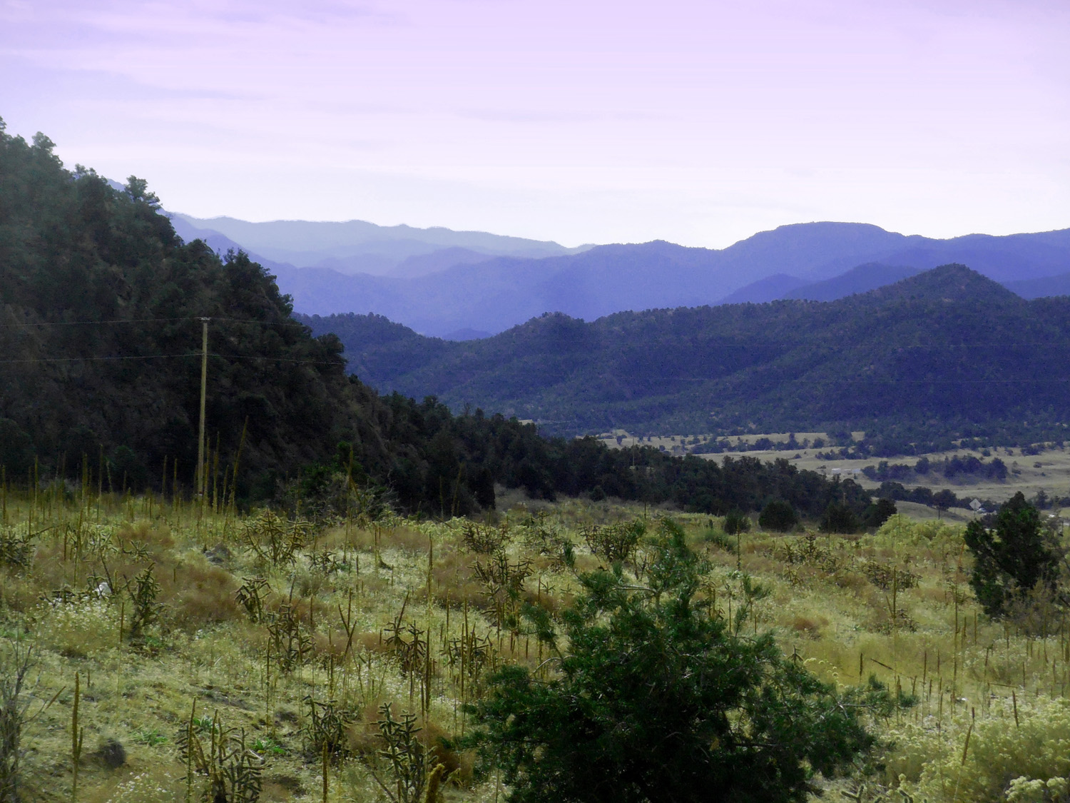
Current Creek Valley
Nov 06 2020 - 11:23 am
Nov 06 2020 - 11:23 am
49 / 51
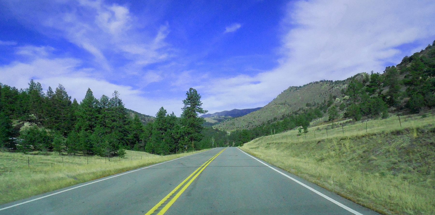
Granite all the way up to the Pass
Nov 06 2020 - 11:23 am
Nov 06 2020 - 11:23 am
50 / 51
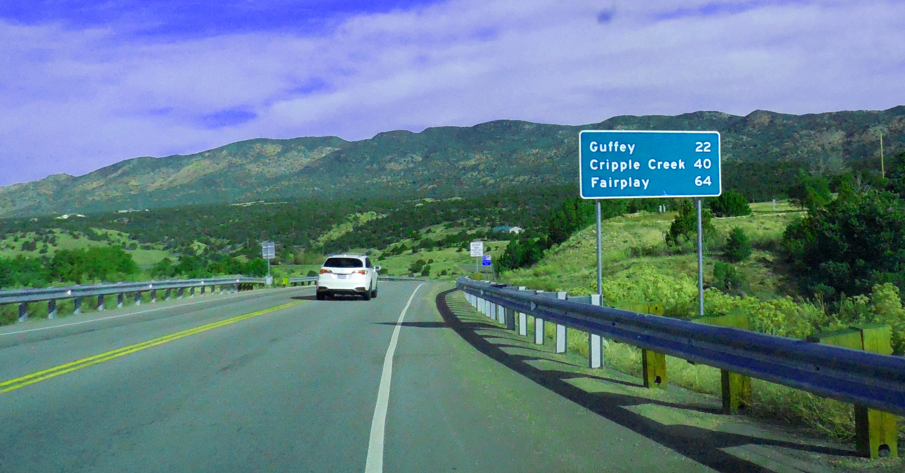
Headed north off US 50
Nov 06 2020 - 11:23 am
Nov 06 2020 - 11:23 am
51 / 51

CO 9 south end (US 50 at Parkdale)