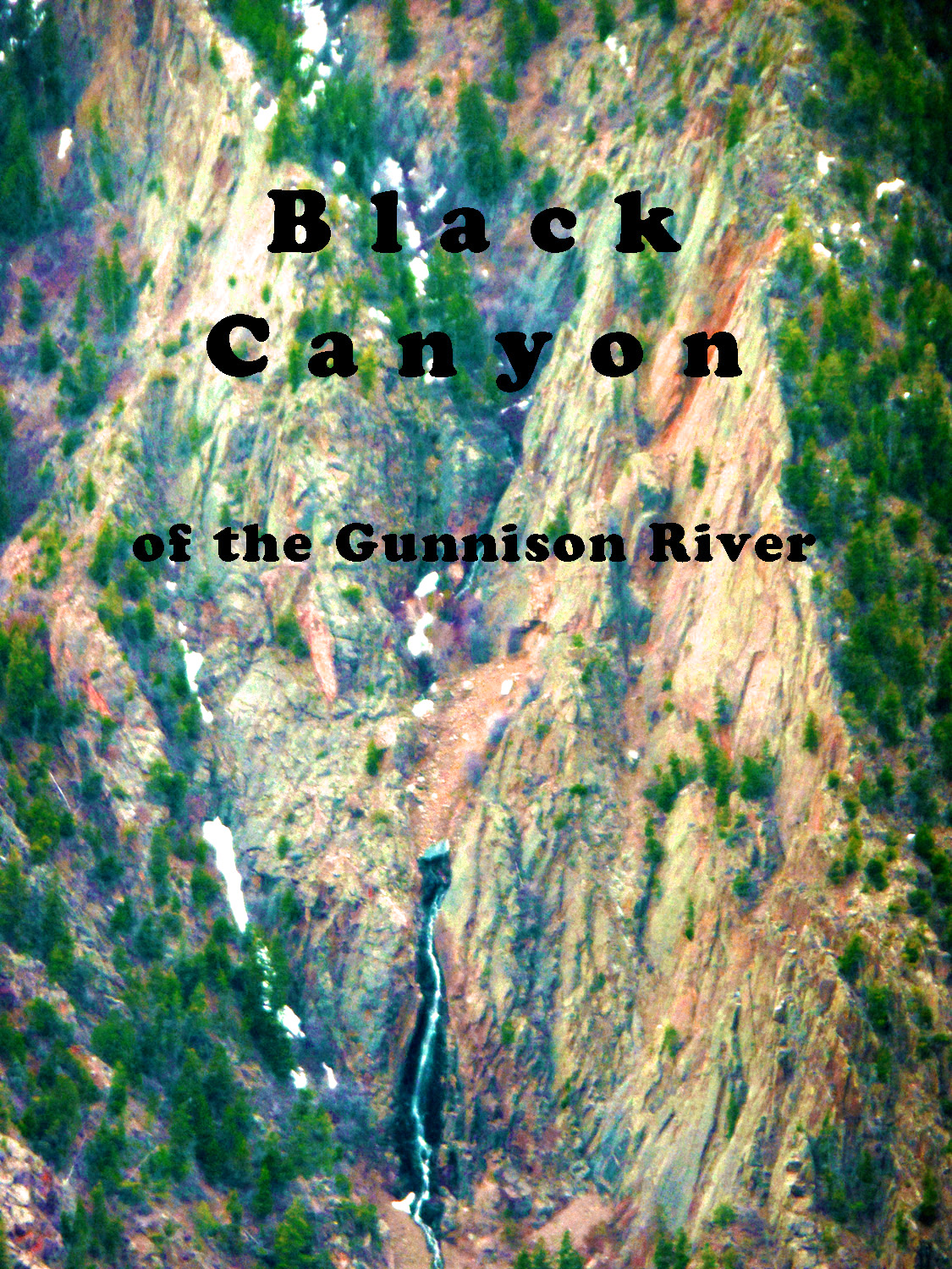
Escalante Canyon (slides 17-25), Black Canyon (slides 26-60)
Mar 02 2017 - 1:11 pm
Mountain Index 10 second cycle, please choose another: user controlled 2 seconds 5 seconds 30 seconds 60 seconds
1 / 60 (CO 141)
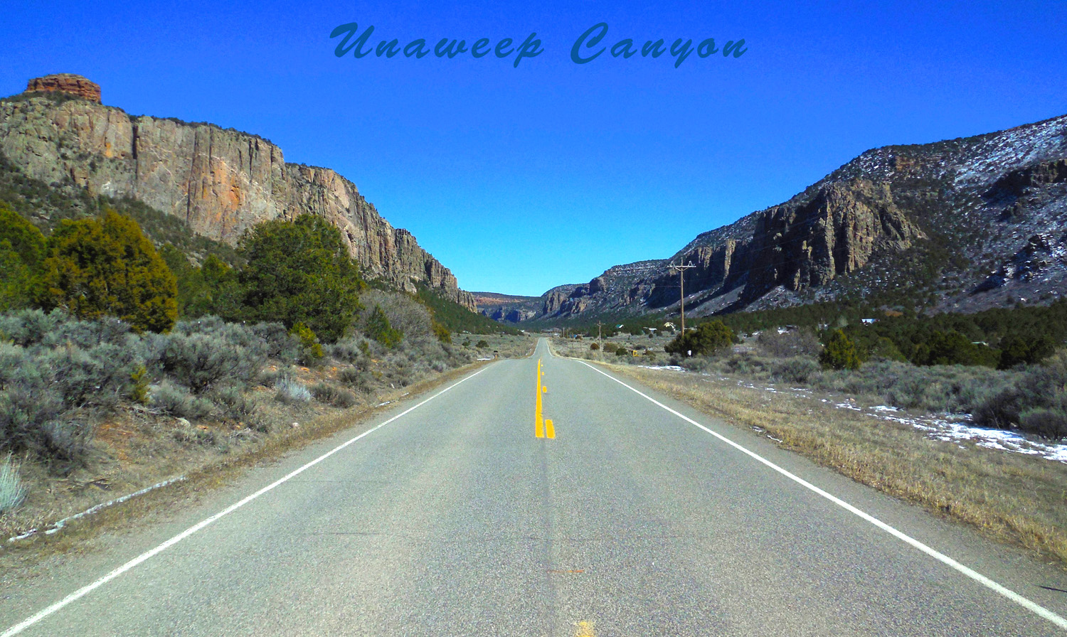
2 / 60 (CO 141)
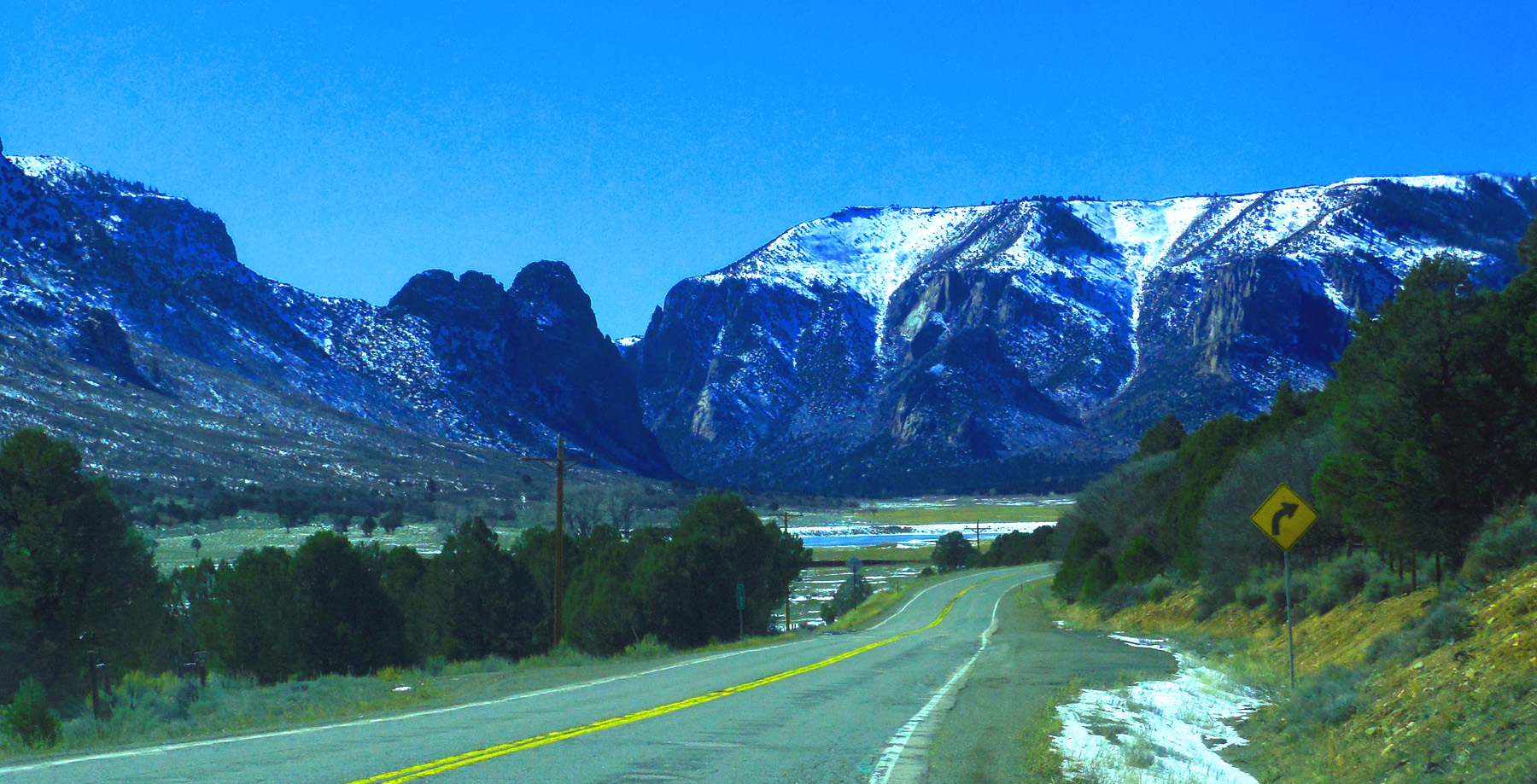
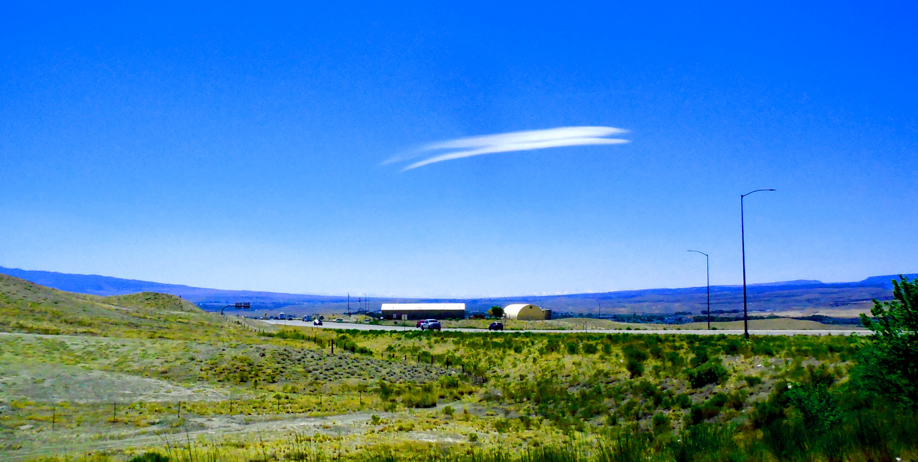
Dakota Sandstone caps flat surfaces between canyons (as this northeast entry to Unaweep Canyon along West Creek, Book Cliffs in background)
Jun 10 2017 - 6:49 pm
Jun 10 2017 - 6:49 pm
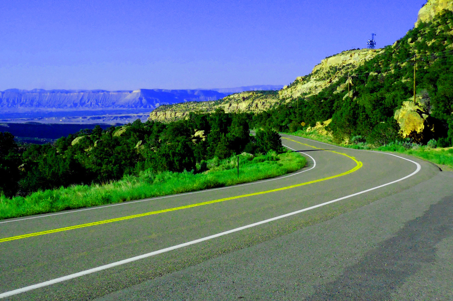
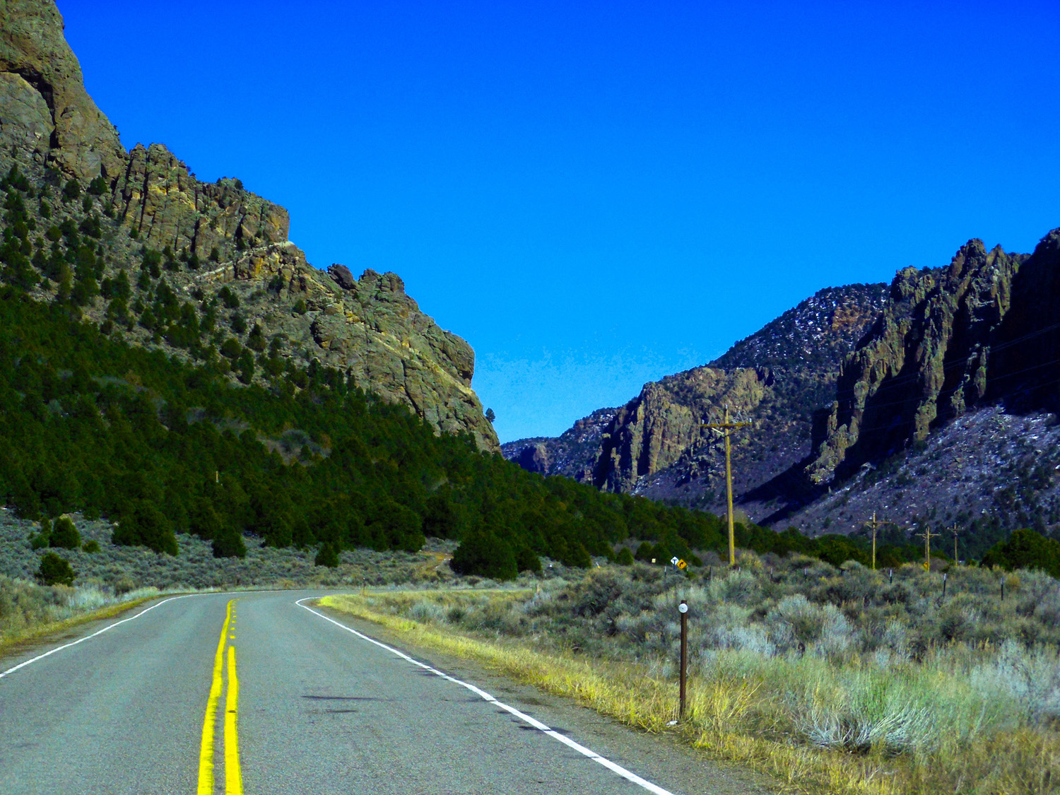
3 / 60 (Divide Road)
Switchbacks on Divide Road through Triassic Red Beds, Grand Mesa in the background
Jun 10 2017 - 6:12 pm
Jun 10 2017 - 6:12 pm
4 / 60 (Divide Road)
pre-Cambrian granite cliffs
Jun 10 2017 - 6:06 pm
Jun 10 2017 - 6:06 pm
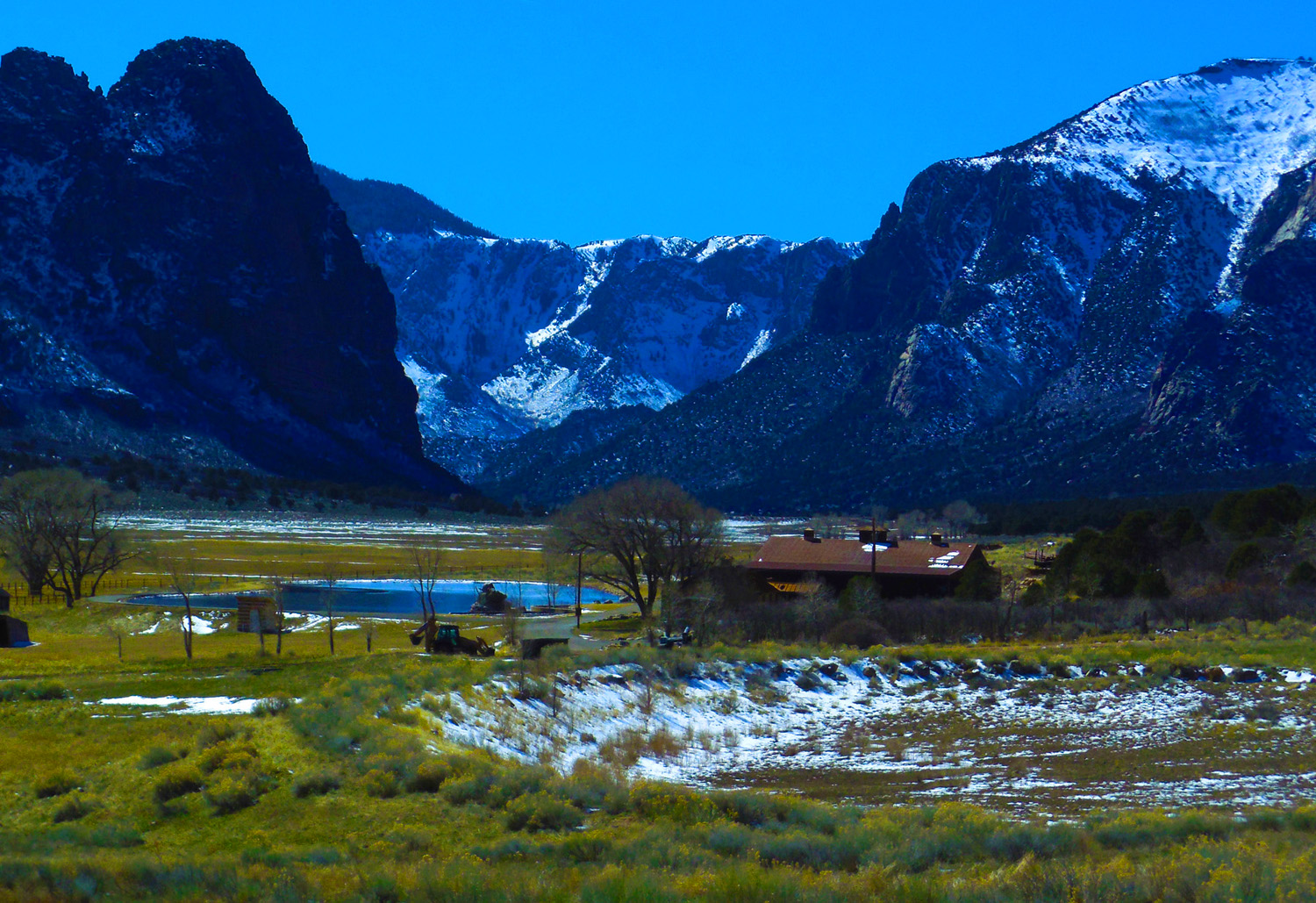
5 / 60 (Divide Road)
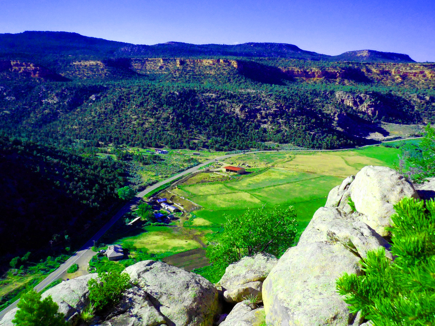
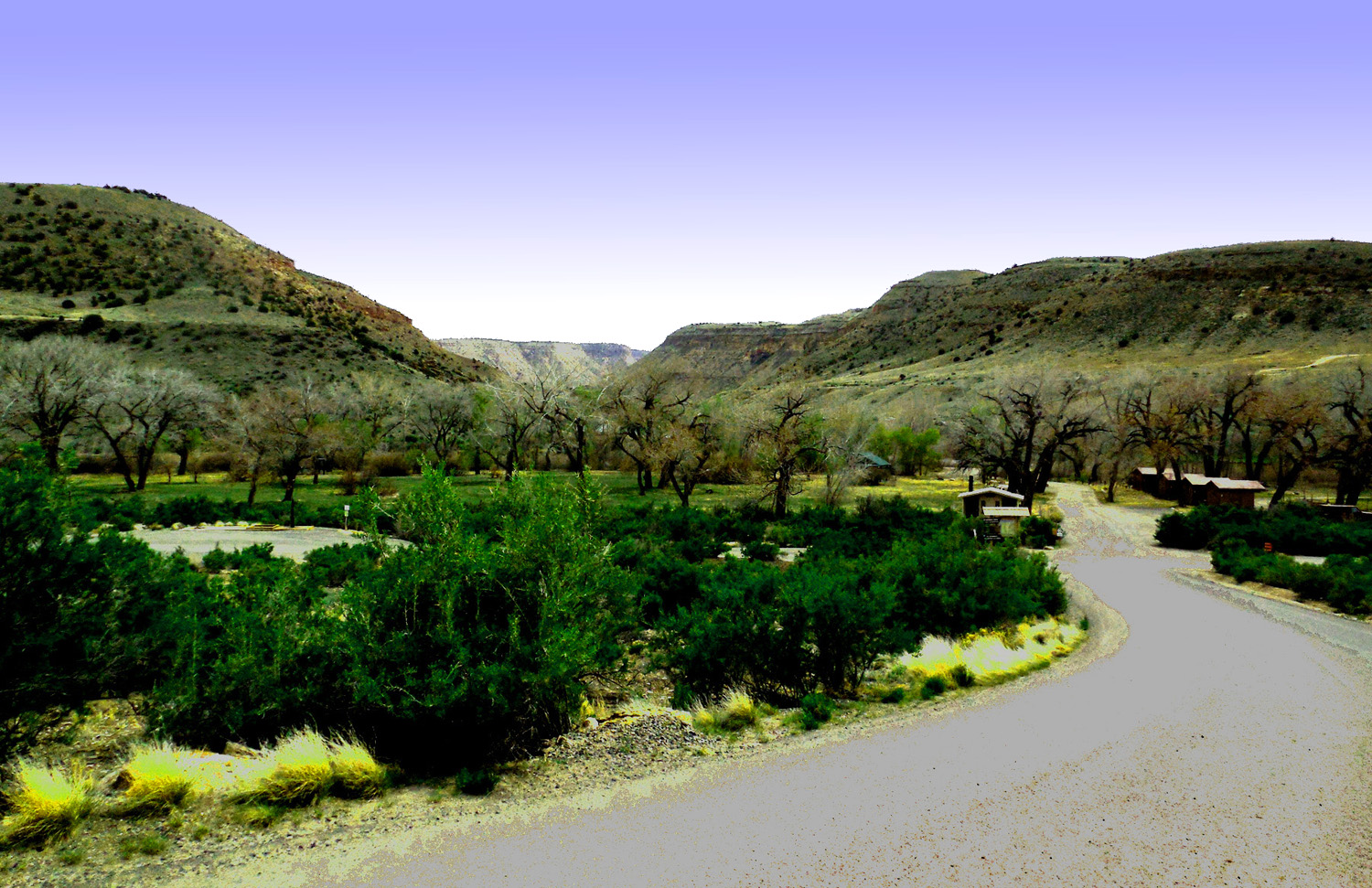
Ranch in Unaweep Canyon
Jun 10 2017 - 6:08 pm
Jun 10 2017 - 6:08 pm
6 / 60 (CO 141)
Knob of Triassic red beds directly on pre-Cambrian granite with a billion years in between
Mar 02 2017 - 1:16 pm
Mar 02 2017 - 1:16 pm
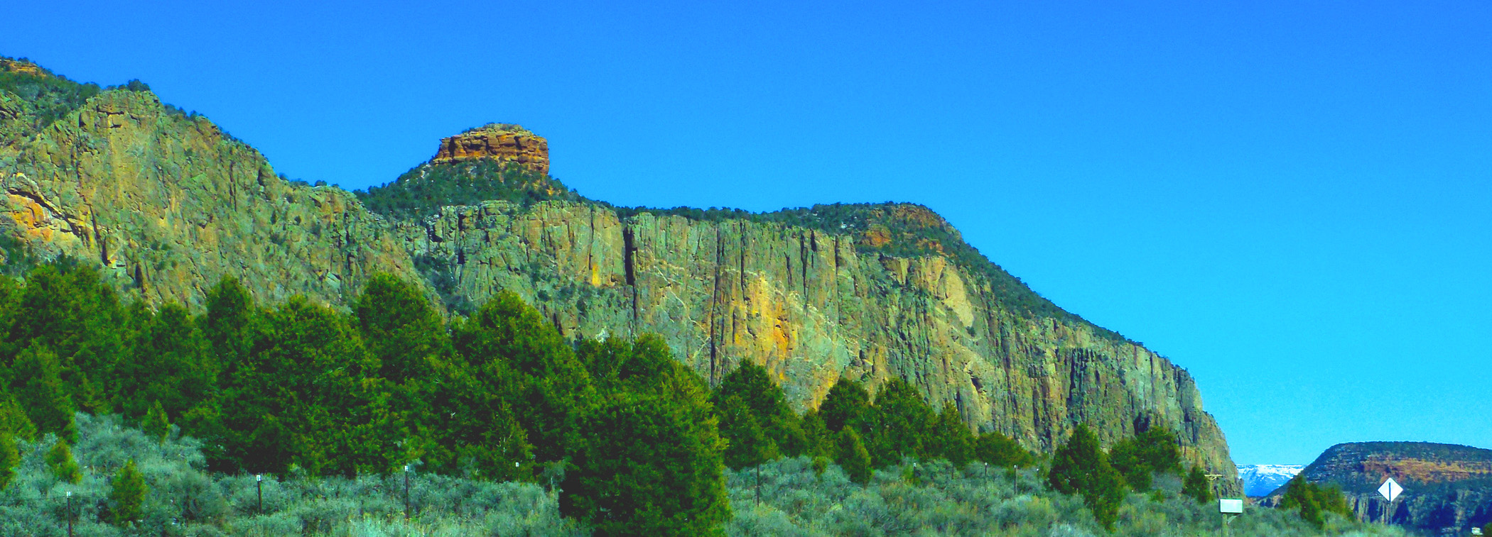
7 / 60 (CO 141)
Colorful granite cliffs
Mar 02 2017 - 1:13 pm
Mar 02 2017 - 1:13 pm
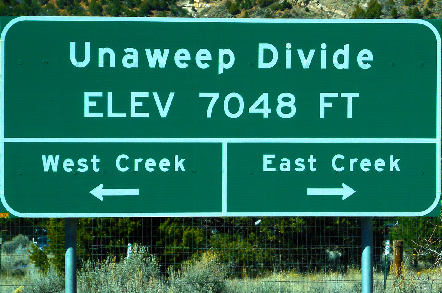
8 / 60 (CO 141)
"X" marks the spot
Mar 02 2017 - 1:23 pm
Mar 02 2017 - 1:23 pm
9 / 60 (CO 141)
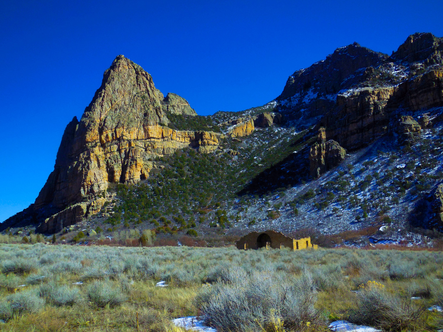
Thimble Rock behind Drigg's Mansion
Mar 02 2017 - 1:39 pm
Mar 02 2017 - 1:39 pm
10 / 60 (CO 141)
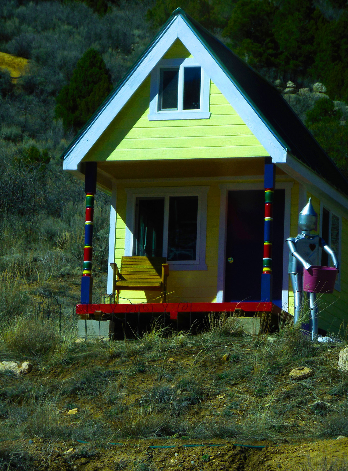
Drigg's mansion rebuilt
Mar 02 2017 - 1:43 pm
Mar 02 2017 - 1:43 pm
11 / 60 (CO 141)
In the middle of Unaweep Canyon
Mar 02 2017 - 1:22 pm
Mar 02 2017 - 1:22 pm
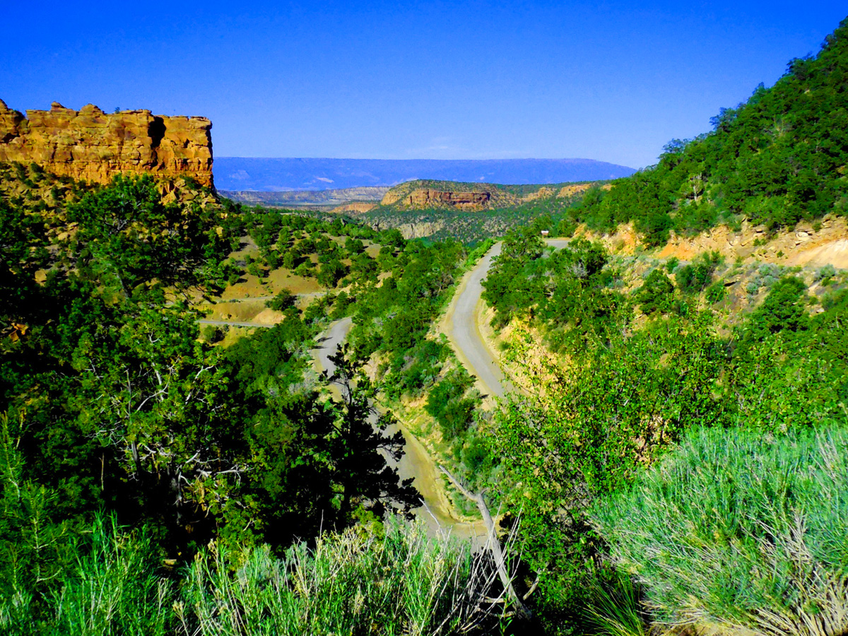
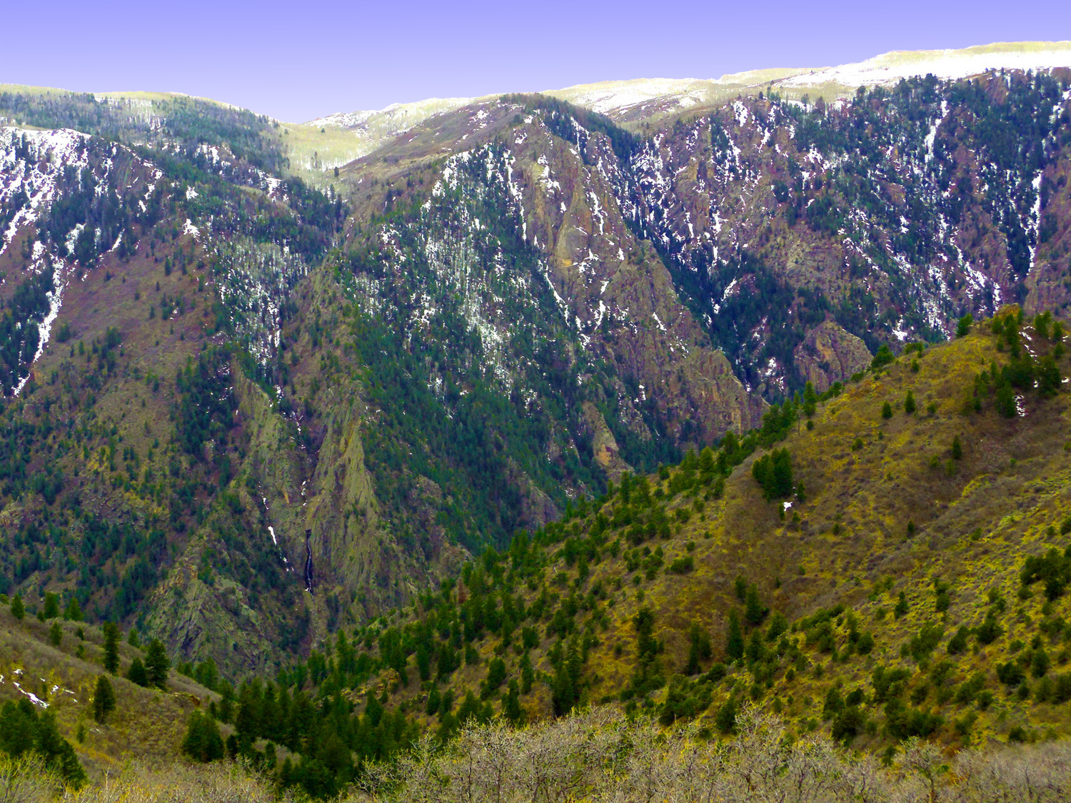
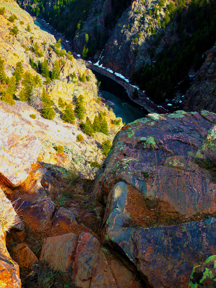
12 / 60 (CO 141)
Deep in Unaweep Canyon
Mar 02 2017 - 1:26 pm
Mar 02 2017 - 1:26 pm
13 / 60 (CO 141)
Deeper still
Mar 02 2017 - 1:33 pm
Mar 02 2017 - 1:33 pm
14 / 60 (CO 141)
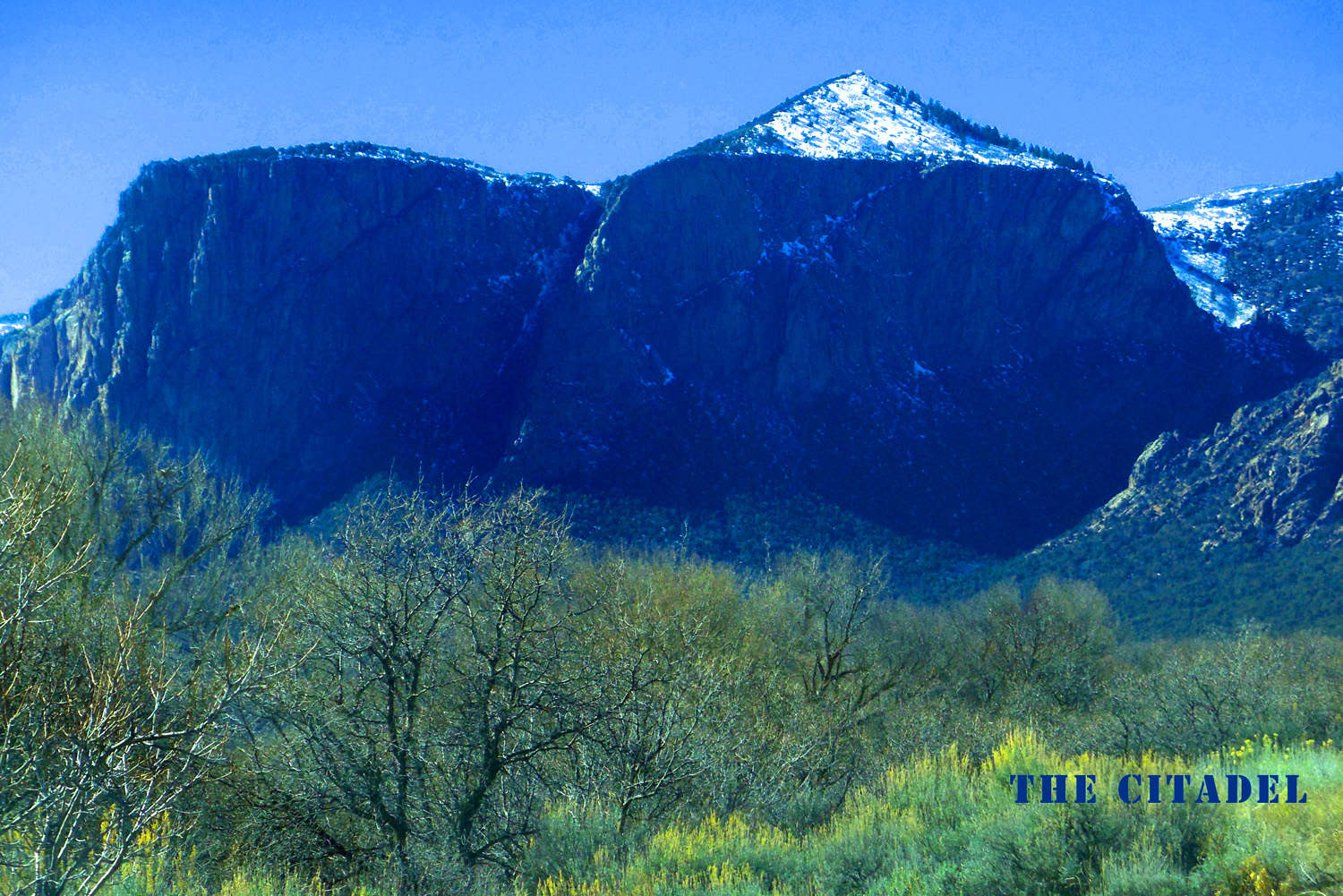
The Citadel
Mar 02 2017 - 1:54 pm
Mar 02 2017 - 1:54 pm
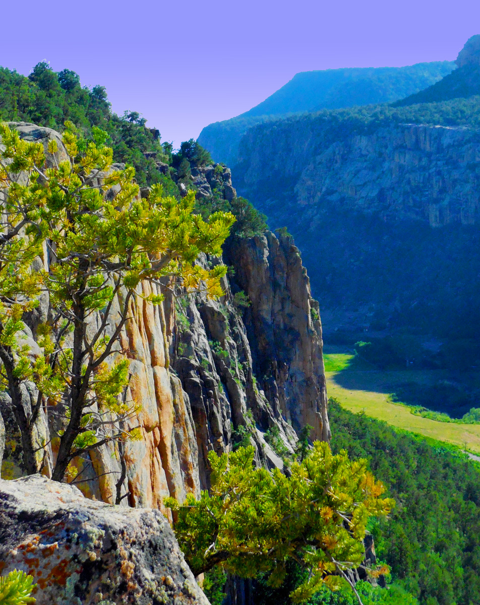
15 / 60 (CO 141)
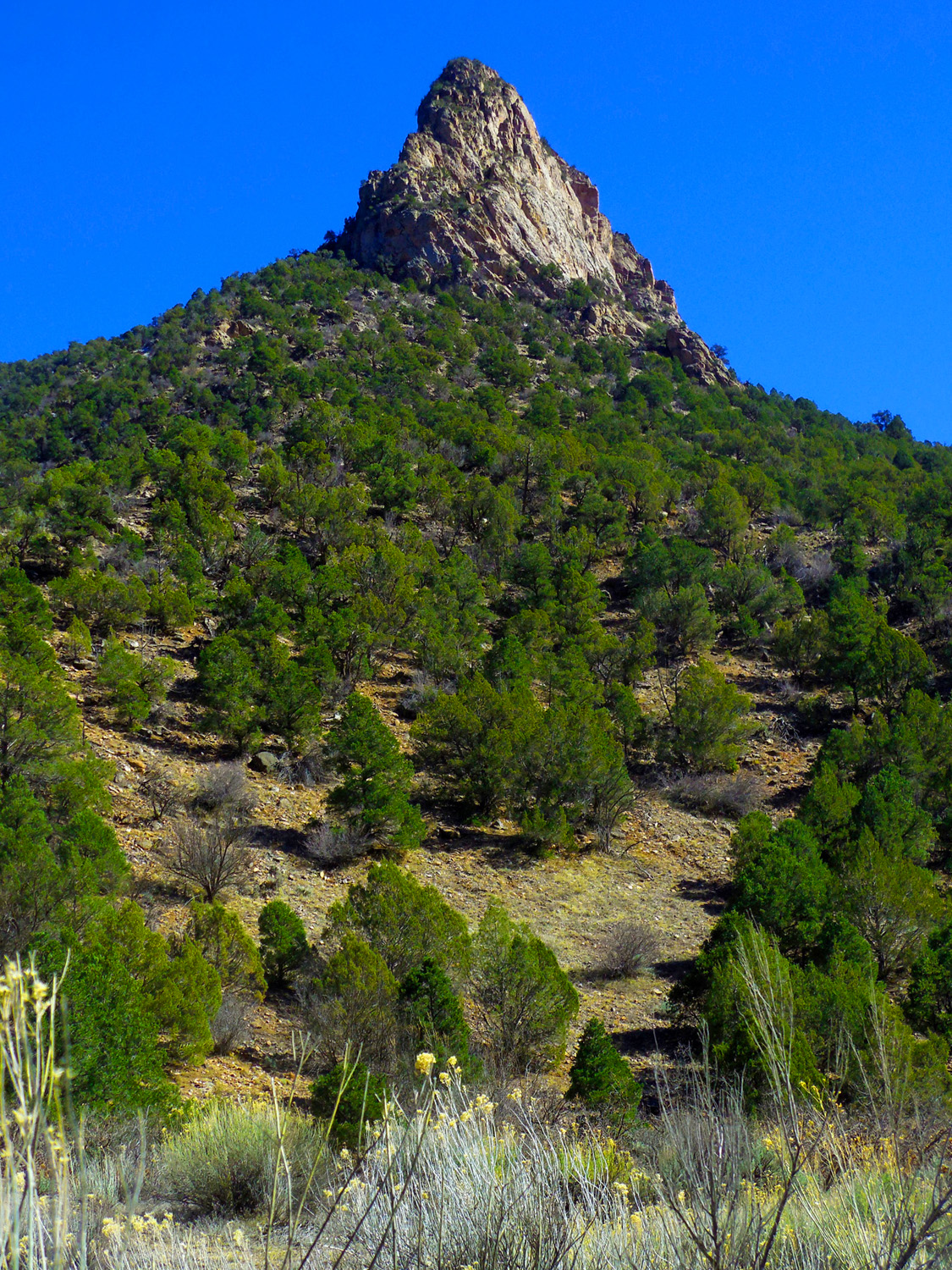
Granite spire
Mar 02 2017 - 2:03 pm
Mar 02 2017 - 2:03 pm
16 / 60 (CO 141)
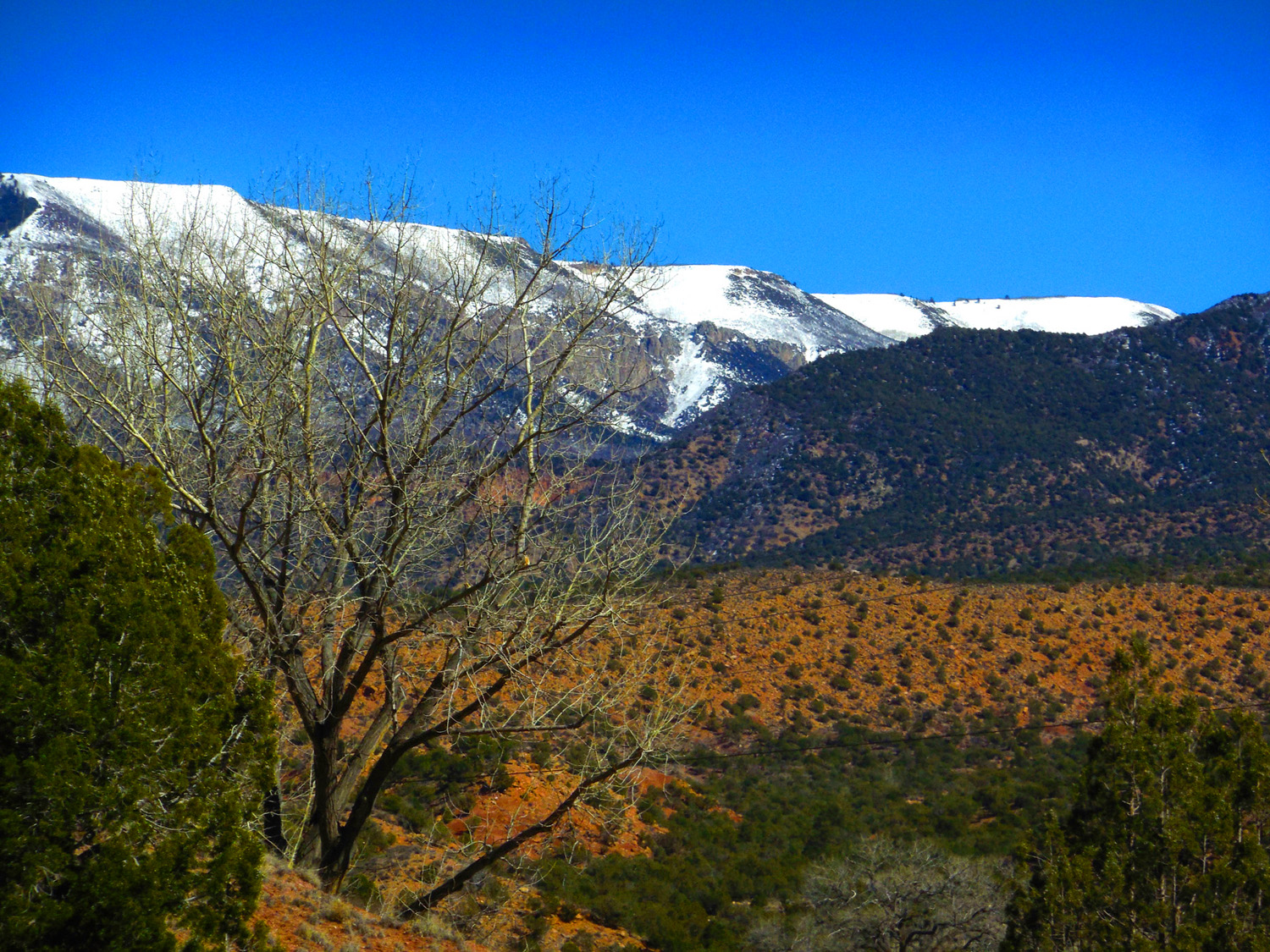
SW face of the Uncompahgre Plateau over Triassic red beds
Mar 02 2017 - 2:18 pm
Mar 02 2017 - 2:18 pm
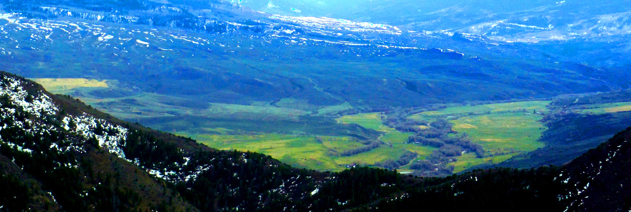
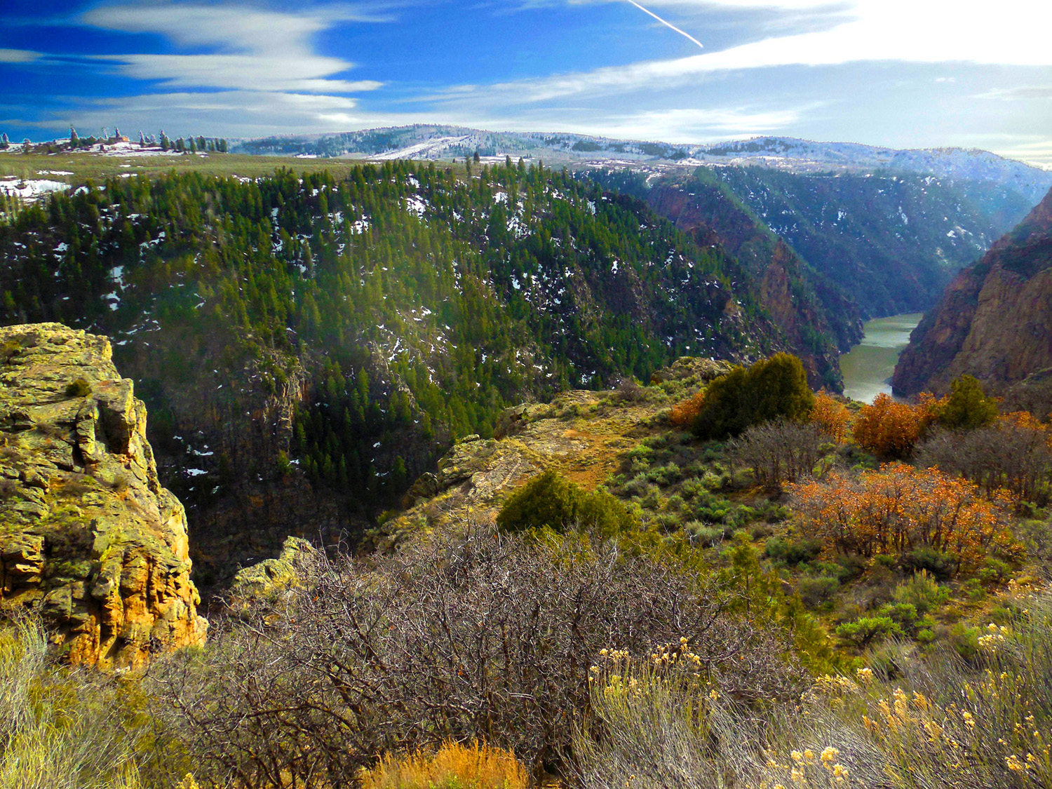
17 / 60 (US 50)
Grand Valley from Grand Mesa (left) to the Uncompahgre Plateau (right) (flat slope of plateau is deceptive, numerous canyons cut the Dakota Sandstone surface of the plateau)
Jun 10 2017 - 11:42 am
Jun 10 2017 - 11:42 am
18 / 60 (Escalante Creek Road)
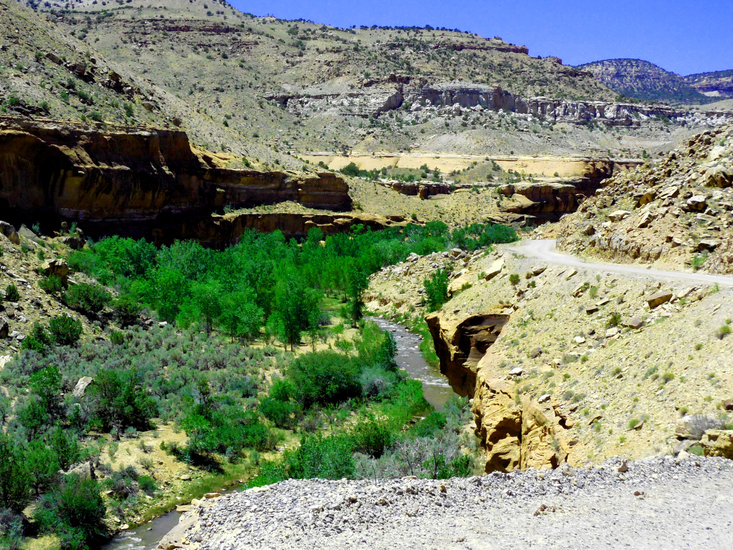
Such as Escalante Creek Canyon which cuts through the Dakota Sandstone and underlying Mesozoic rocks
Jun 10 2017 - 12:40 pm
Jun 10 2017 - 12:40 pm
19 / 60 (Escalante Creek Road)
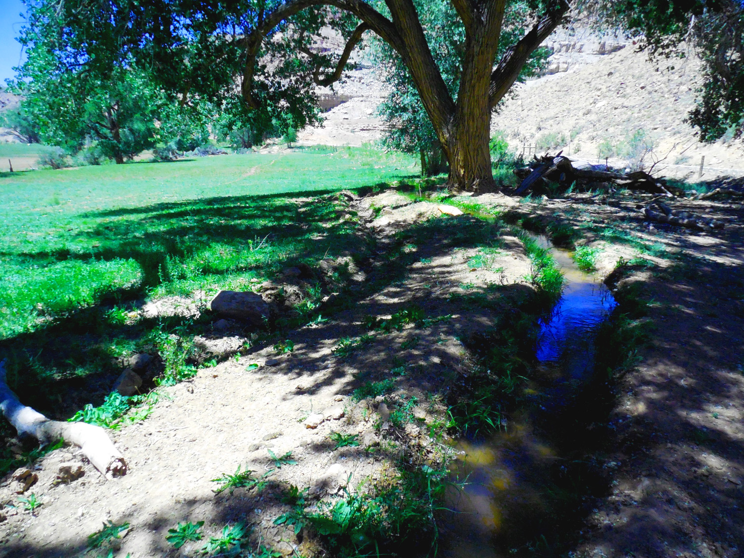
Life-blood of the west, irrigation ditches
Jun 10 2017 - 12:27 pm
Jun 10 2017 - 12:27 pm
20 / 60 (Escalante Creek Road)
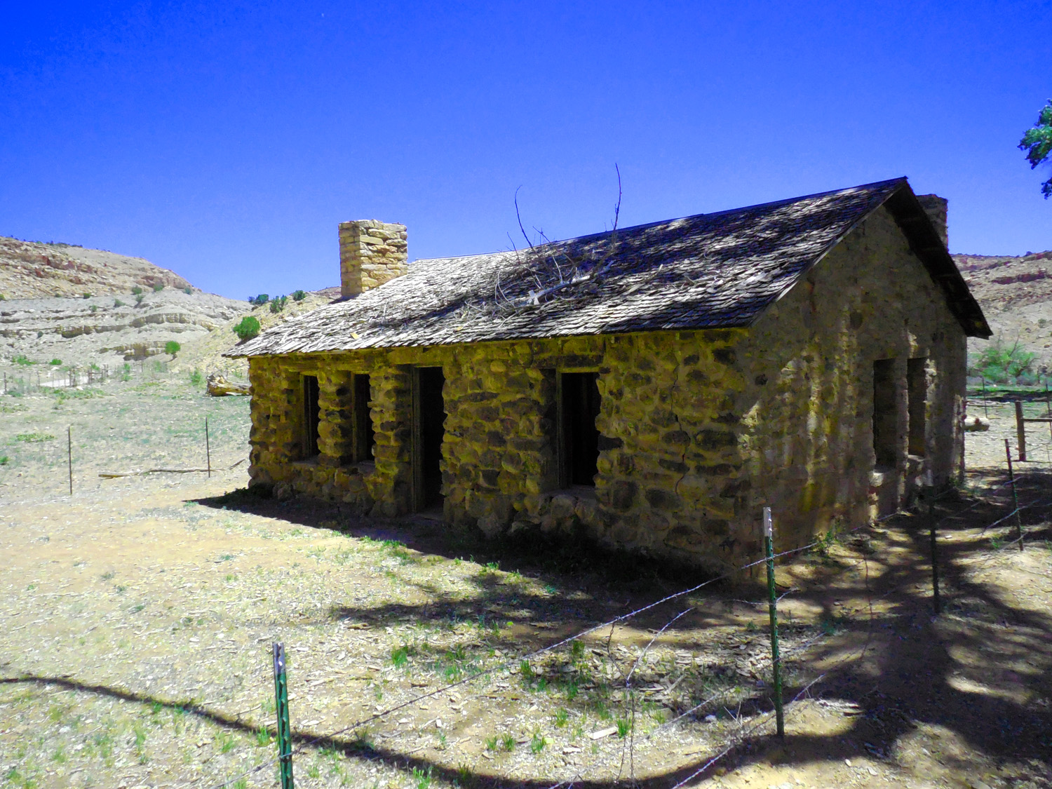
Next to an abandoned stone ranch house
Jun 10 2017 - 12:27 pm
Jun 10 2017 - 12:27 pm
21 / 60 (Escalante Creek Road)
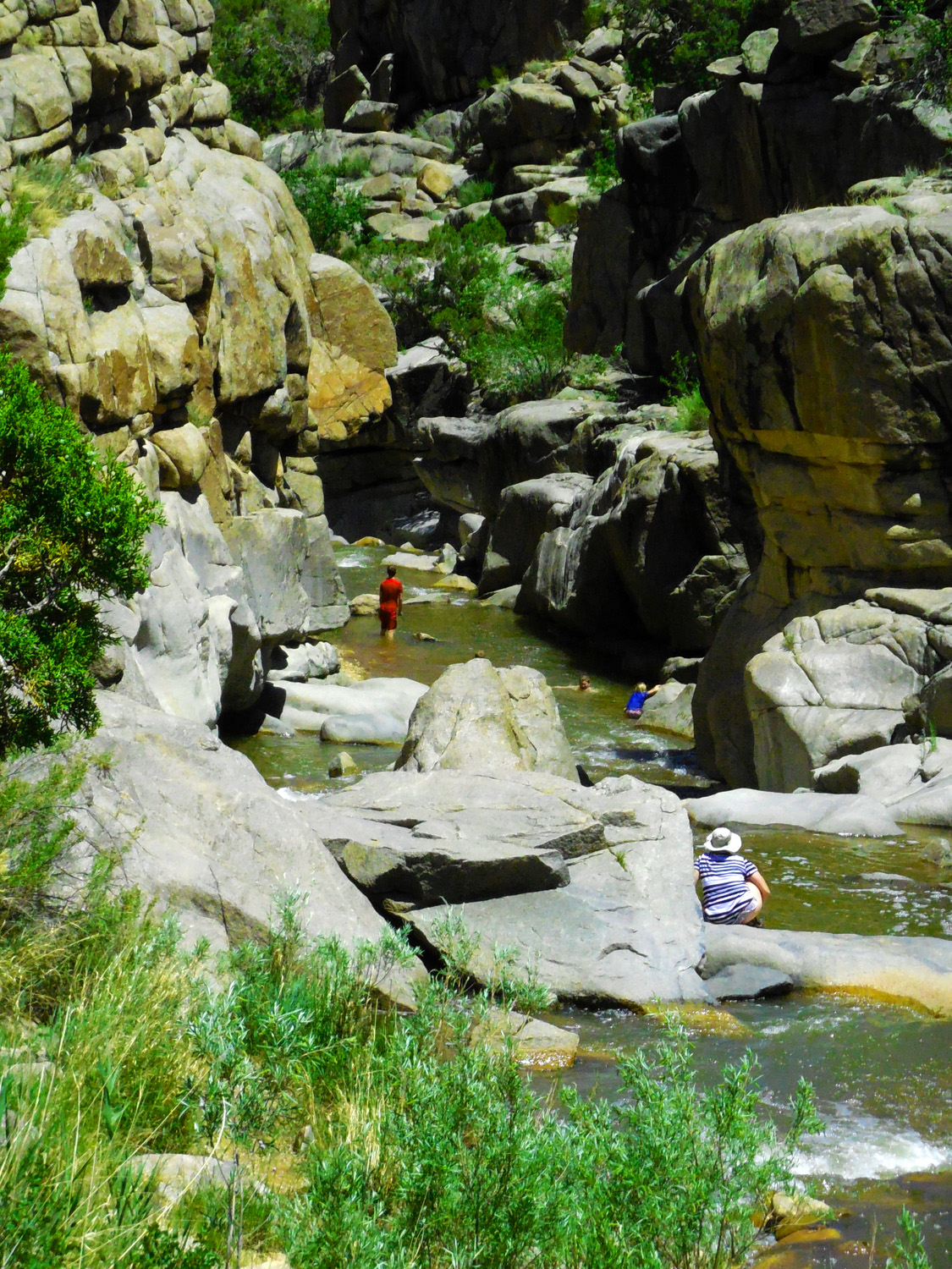
Granite potholes attract many people
(despite drownings each year in this and the similar Little Dolores River site in Glade Park)
Jun 10 2017 - 1:25 pm
(despite drownings each year in this and the similar Little Dolores River site in Glade Park)
Jun 10 2017 - 1:25 pm
22 / 60 (Escalante Creek Road)
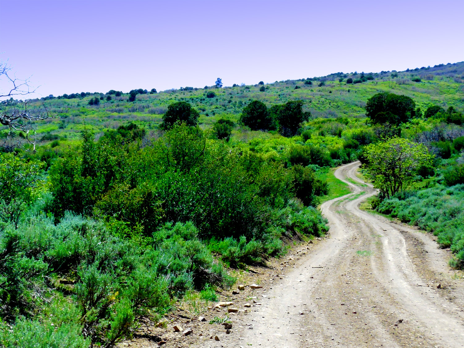
The road deterioated upstream from the potholes
Jun 10 2017 - 3:04 pm
Jun 10 2017 - 3:04 pm
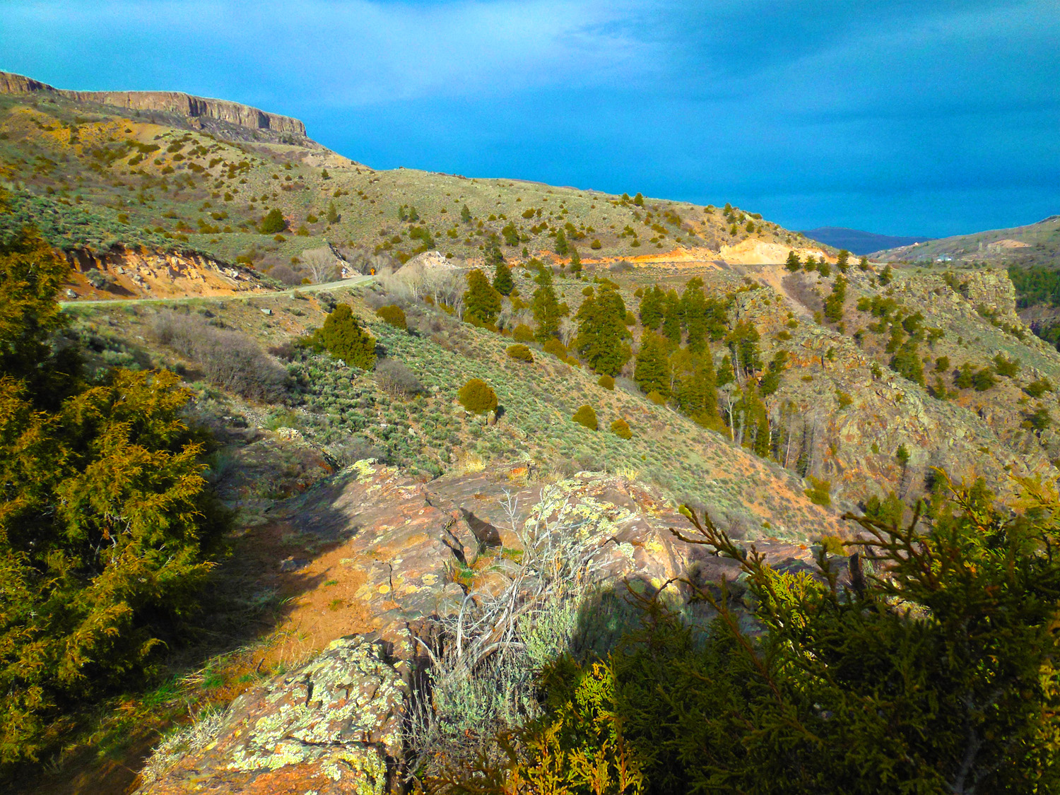
23 / 60 (Escalante Creek Road)
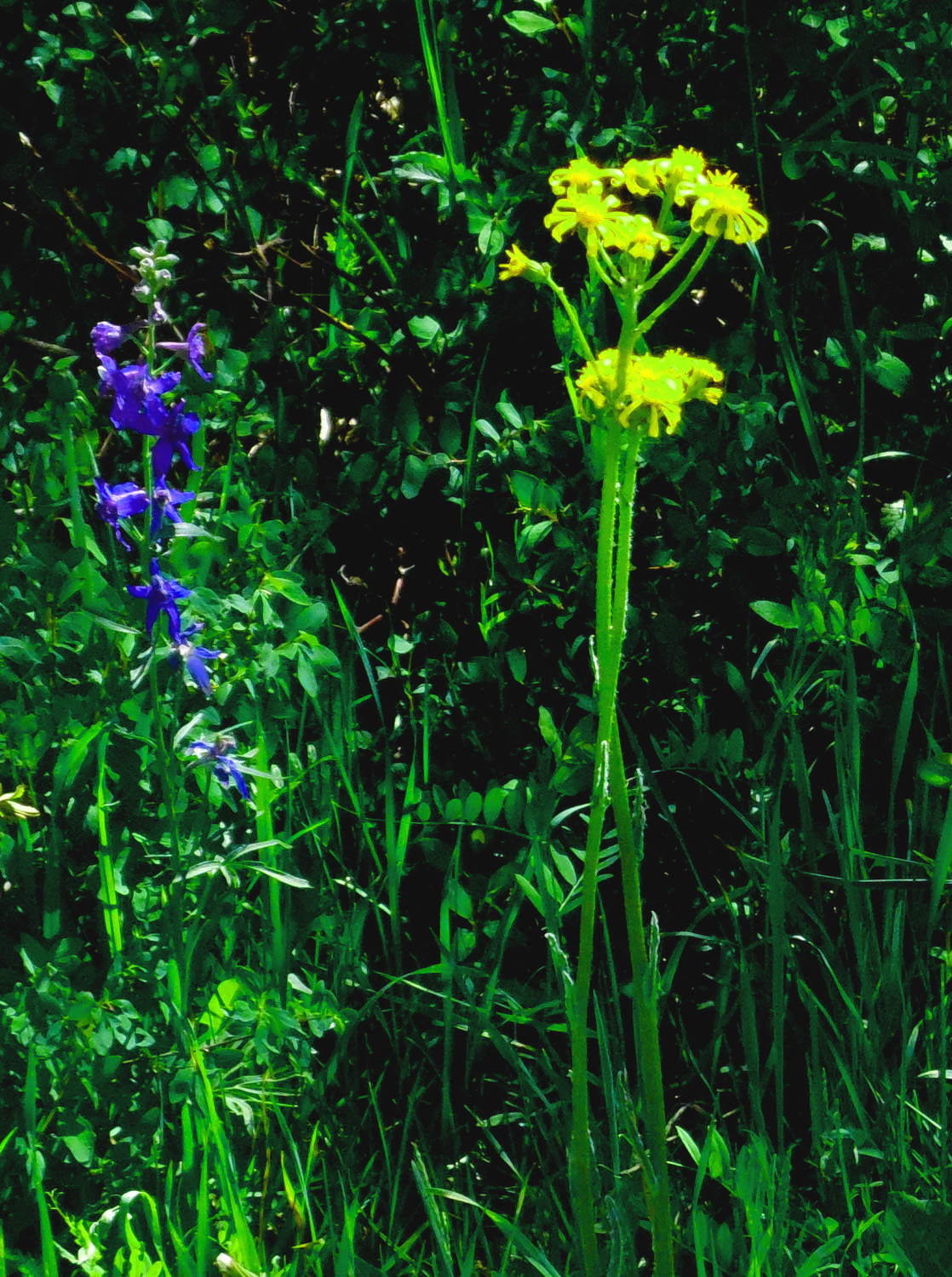
I pushed on, stopping often to check road conditions (ample time to photograph blue and gold flowers, 6 of 15 states with official colors list blue and gold)
Jun 10 2017 - 3:39 pm
Jun 10 2017 - 3:39 pm
24 / 60 (Escalante Creek Road)
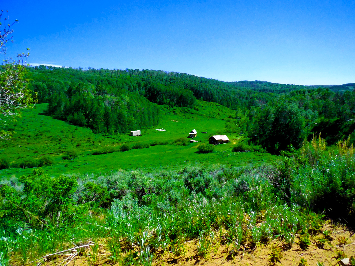
Ranch at top of the Uncompahge Plateau
Jun 10 2017 - 3:54 pm
Jun 10 2017 - 3:54 pm
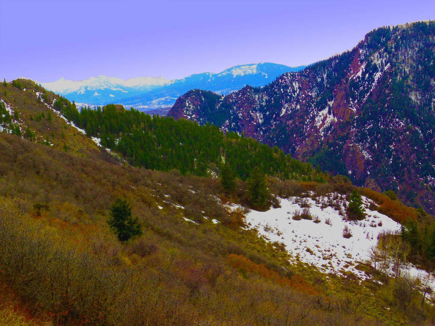
25 / 60 (Divide Road)
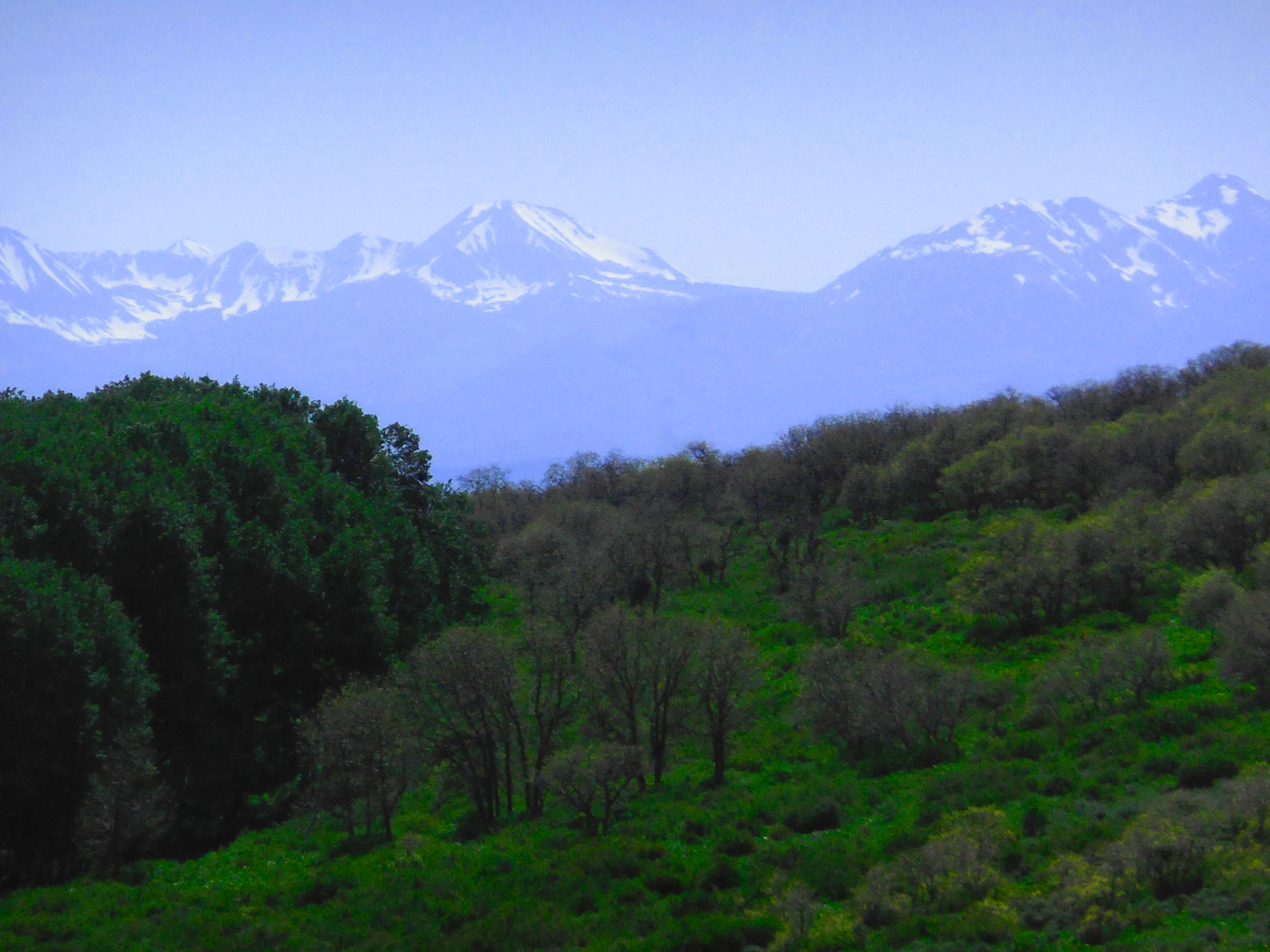
San Juan (left) and San Miguel Mountains (right) from Divide Road (finally made it back to an improved road)
Jun 10 2017 - 4:04 pm
Jun 10 2017 - 4:04 pm
26 / 60 (CO 92)
Black Canyon
Apr 13 2017 - 4:01 pm
Apr 13 2017 - 4:01 pm
27 / 60 (CO 92)
NW end of Black Canyon trapped behind Fruitland Mesa uplift
Apr 13 2017 - 2:53 pm
Apr 13 2017 - 2:53 pm
28 / 60 (CO 92)
To the SE end of Black Canyon along the north rim and CO 92
Apr 13 2017 - 5:54 pm
Apr 13 2017 - 5:54 pm
29 / 60 (CO 92)
Colorful pre-Cambrian granite in walls of deepest Black Canyon
Apr 13 2017 - 4:00 pm
Apr 13 2017 - 4:00 pm
30 / 60 (CO 92)
Uncompahgre Group of the San Juan Mountains over Black Canyon
Apr 13 2017 - 4:00 pm
Apr 13 2017 - 4:00 pm
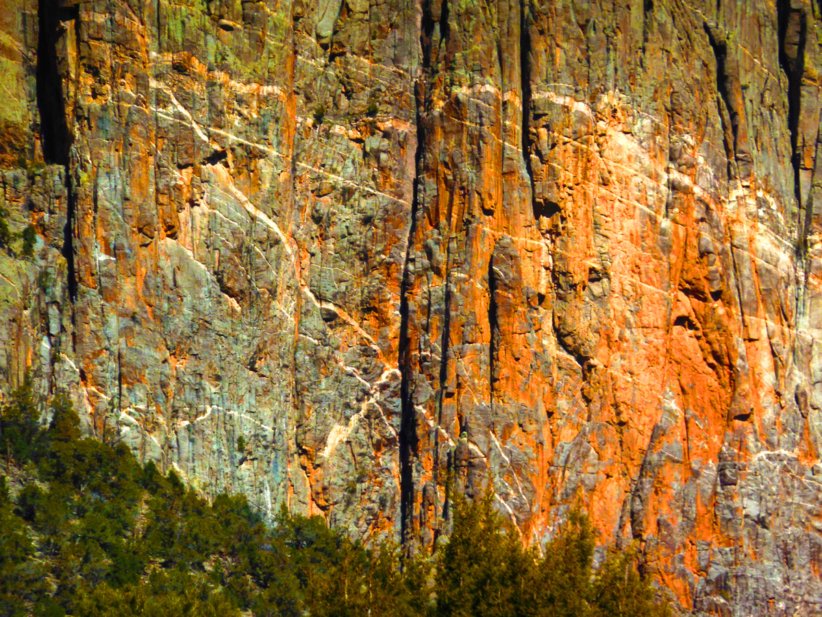
31 / 60 (CO 92)
Gniess (nice) rock
Apr 13 2017 - 4:25 pm
Apr 13 2017 - 4:25 pm
32 / 60 (CO 92)
Cimarron Ridge of the San Juan Mountains
Apr 13 2017 - 5:06 pm
Apr 13 2017 - 5:06 pm
33 / 60 (CO 92)
Cimarron Valley along the Black Canyon uplift
Apr 13 2017 - 4:50 pm
Apr 13 2017 - 4:50 pm
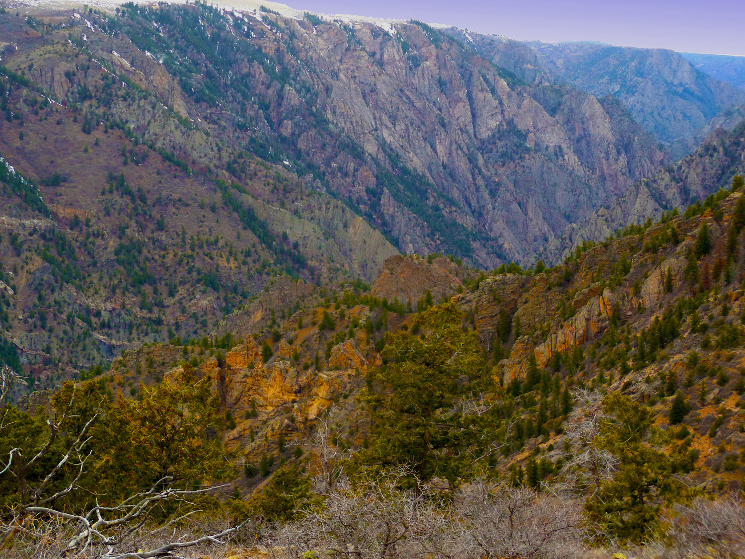
34 / 60 (CO 92)
Black Canyon cut into a stripped granite surface reminescent of Royal Gorge
Apr 13 2017 - 5:30 pm
Apr 13 2017 - 5:30 pm
35 / 60 (CO 92)
Clouds reflected in Morrow Reservior (Gunnison River northwest of the park is a series of reservoirs used to power and irrigated the Uncompahgre Valley)
Apr 13 2017 - 5:38 pm
Apr 13 2017 - 5:38 pm
36 / 60 (CO 92)
Close up of the stripped pre-Cambrian granite-gneiss surface covered by Mesozoic rocks (an example of 109 year hiatus)
Apr 13 2017 - 5:40 pm
Apr 13 2017 - 5:40 pm
37 / 60 (CO 92)
Upper end of Morrow Reservoir
Apr 13 2017 - 5:41 pm
Apr 13 2017 - 5:41 pm
38 / 60 (CO 92)
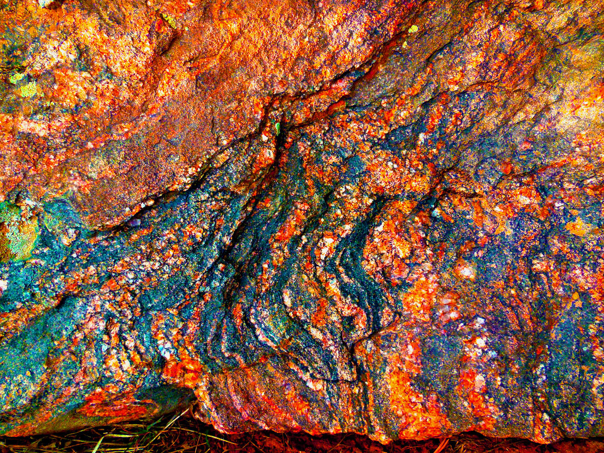
Banded gneiss, geologists call the swirls "migmatite" Who need microscopes? Weather and life (lichens) bring out the faintest details of fractal patterns
Apr 13 2017 - 5:43 pm
Apr 13 2017 - 5:43 pm
39 / 60 (CO 92)
Coming out of the upstream end of Black Canyon
Apr 13 2017 - 5:40 pm
Apr 13 2017 - 5:40 pm
40 / 60 (US 50)
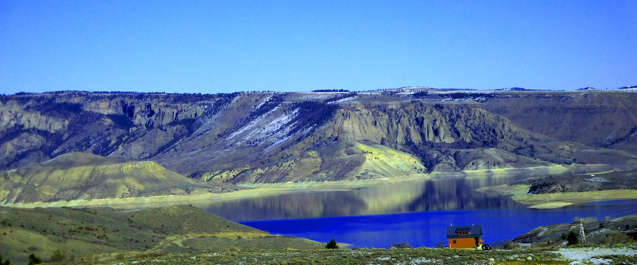
Blue Mesa Reservoir at the upper end of Black Canyon
Dec 07 2020 - 2:31 pm
Dec 07 2020 - 2:31 pm
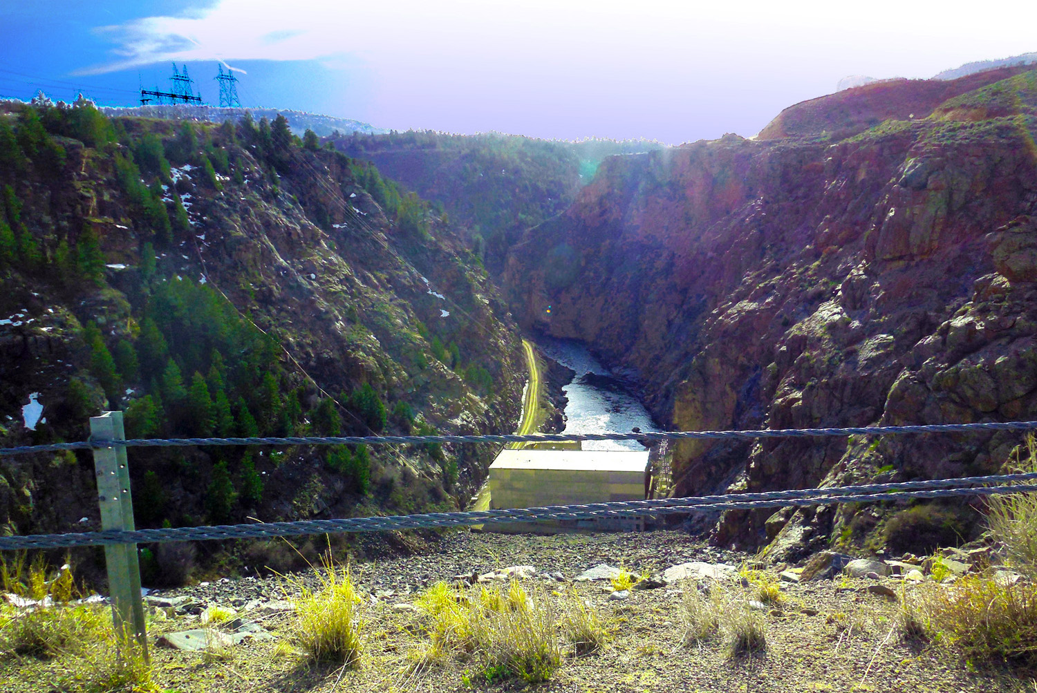
41 / 60 (CO 92)
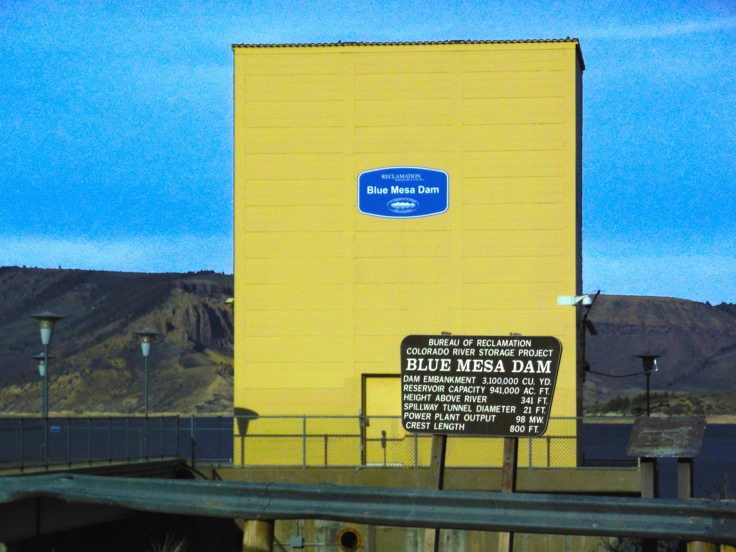
Blue Mesa Dam, CO 92 goes over the dam
Apr 13 2017 - 5:51 pm
Apr 13 2017 - 5:51 pm
42 / 60 (CO 92)
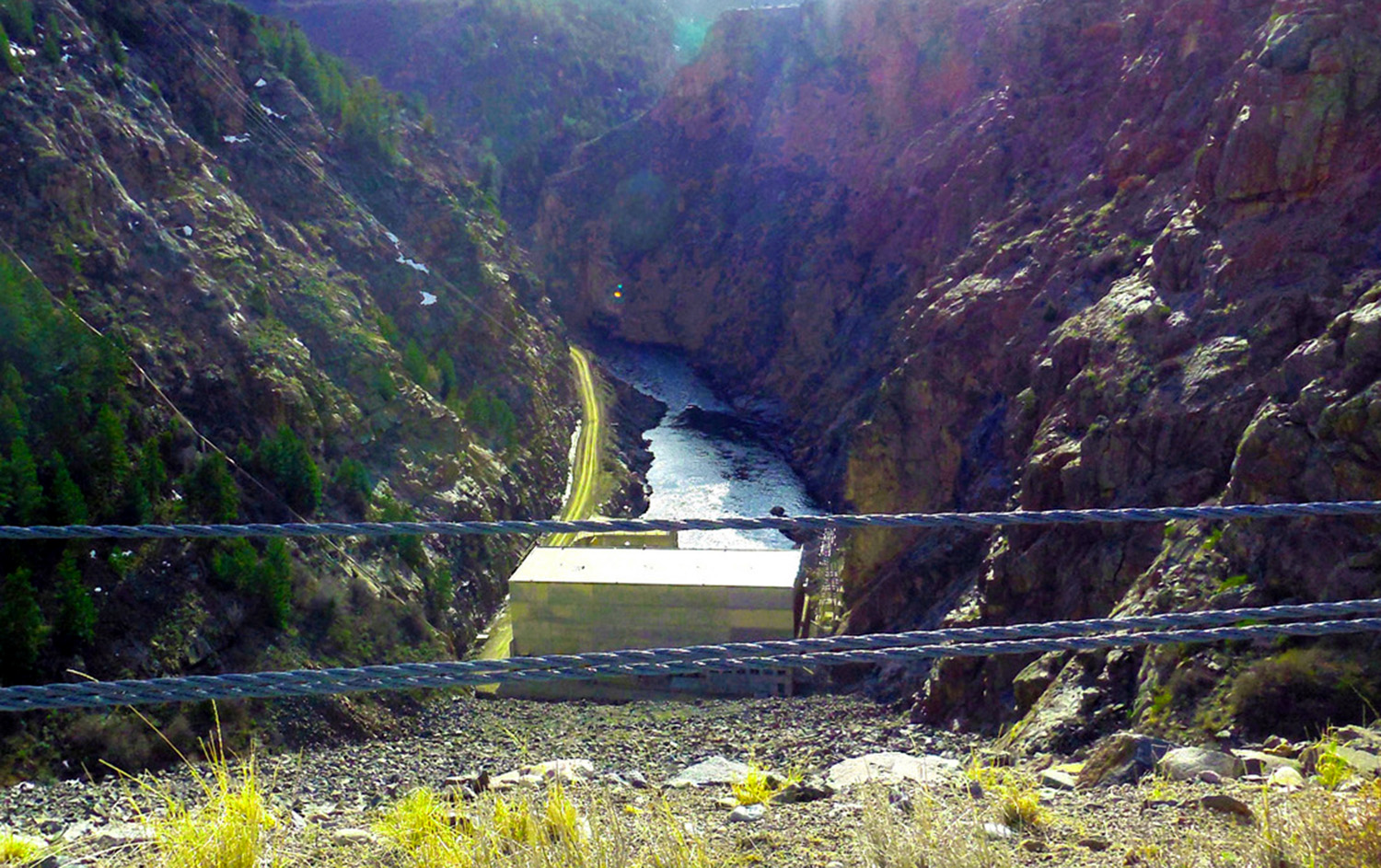
Across the road, the start of Black Canyon
Apr 13 2017 - 5:54 pm
Apr 13 2017 - 5:54 pm
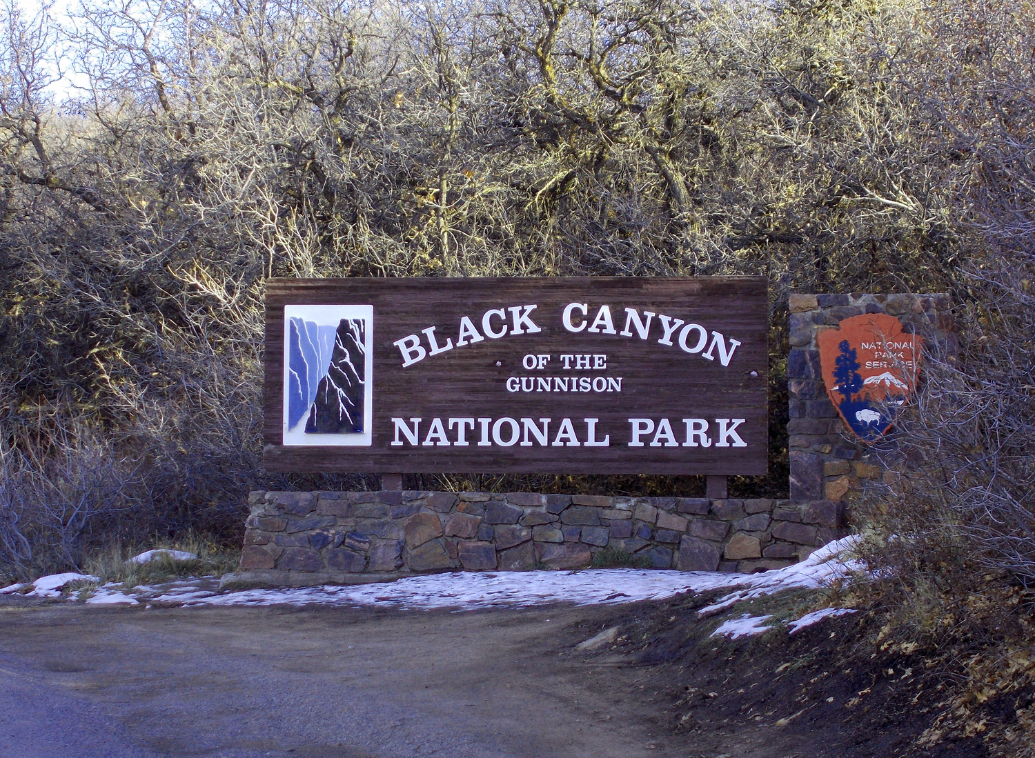
43 / 60 (CO 349)
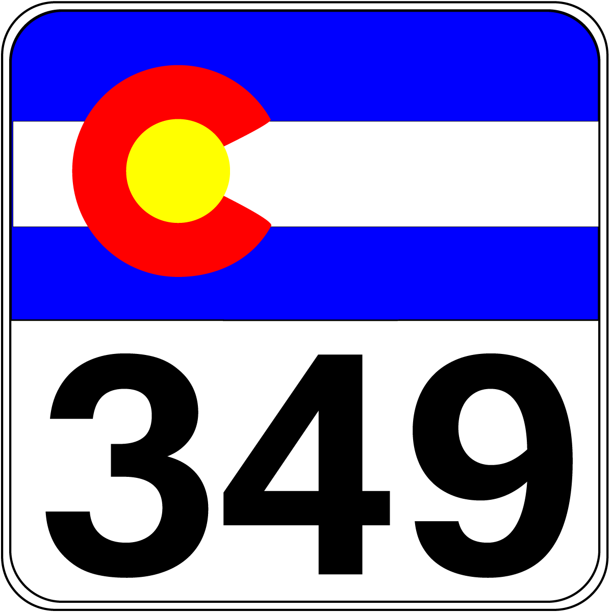
North on CO 349 to Black Canyon of the Gunnison National Park (south rim)
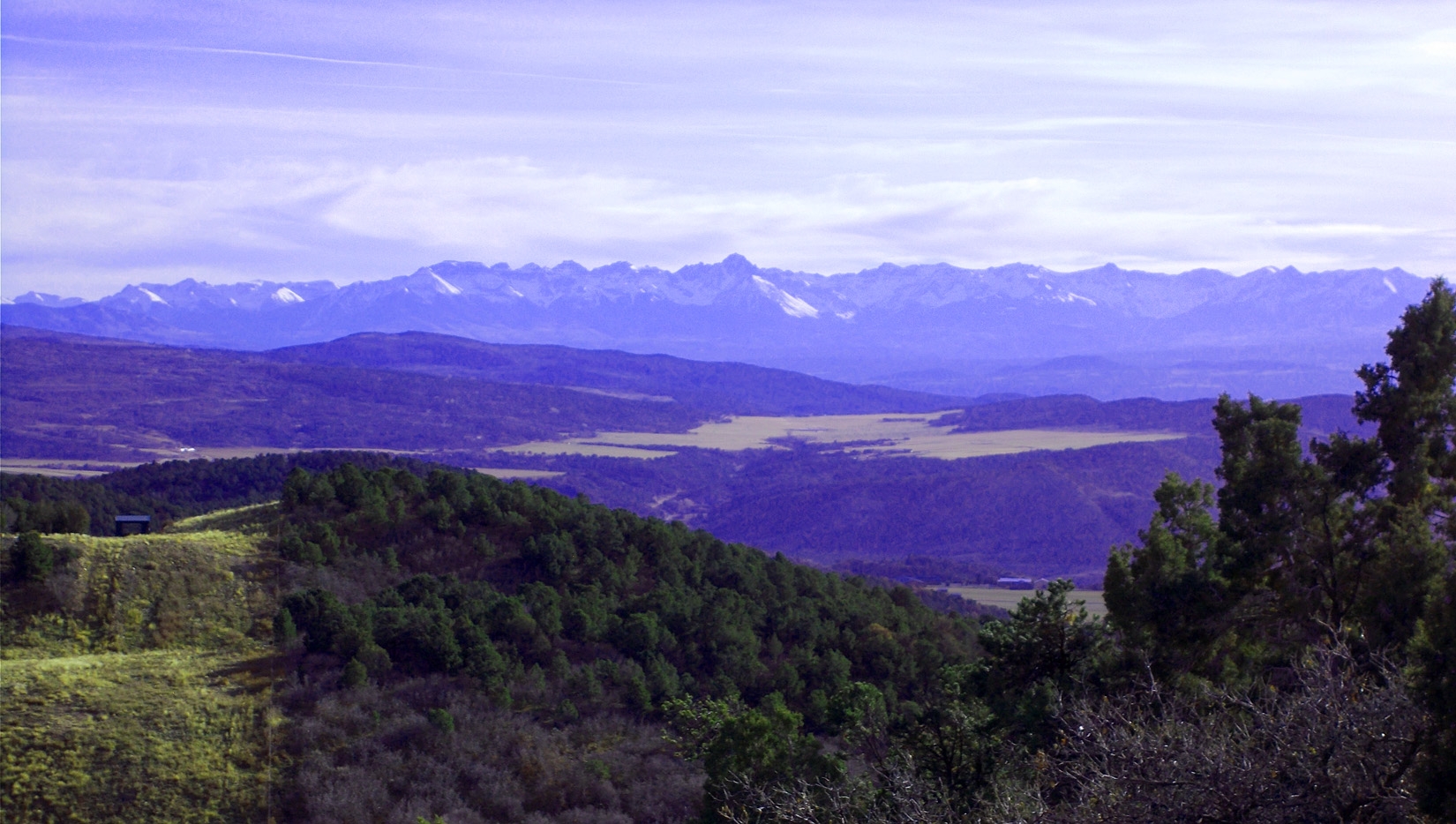
44 / 60 (CO 349)
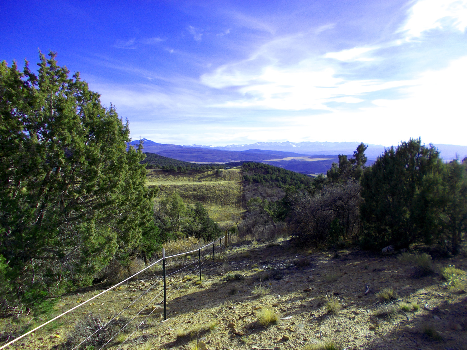
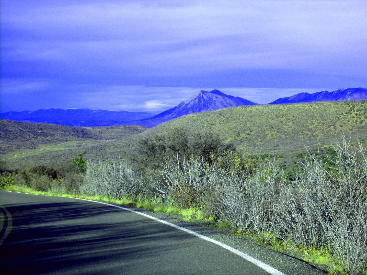
San Juan Mountains from CO 349
Nov 14 2021 - 4:08 pm
Nov 14 2021 - 4:08 pm
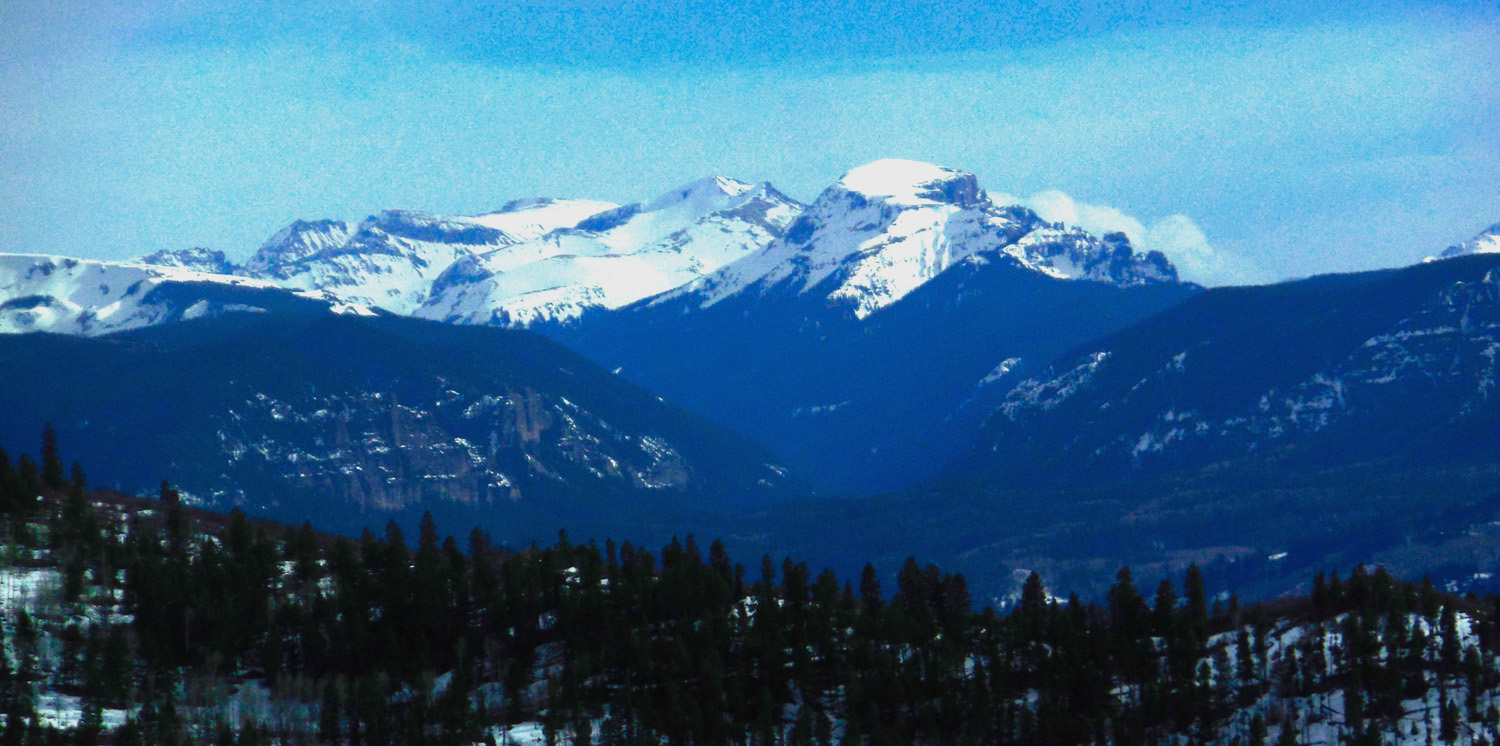
45 / 60 (CO 349)
Telephoto of San Juan Mountains centered around Mt. Sneffels (14,150')
Nov 14 2021 - 4:08 pm
Nov 14 2021 - 4:08 pm
46 / 60 (CO 349)
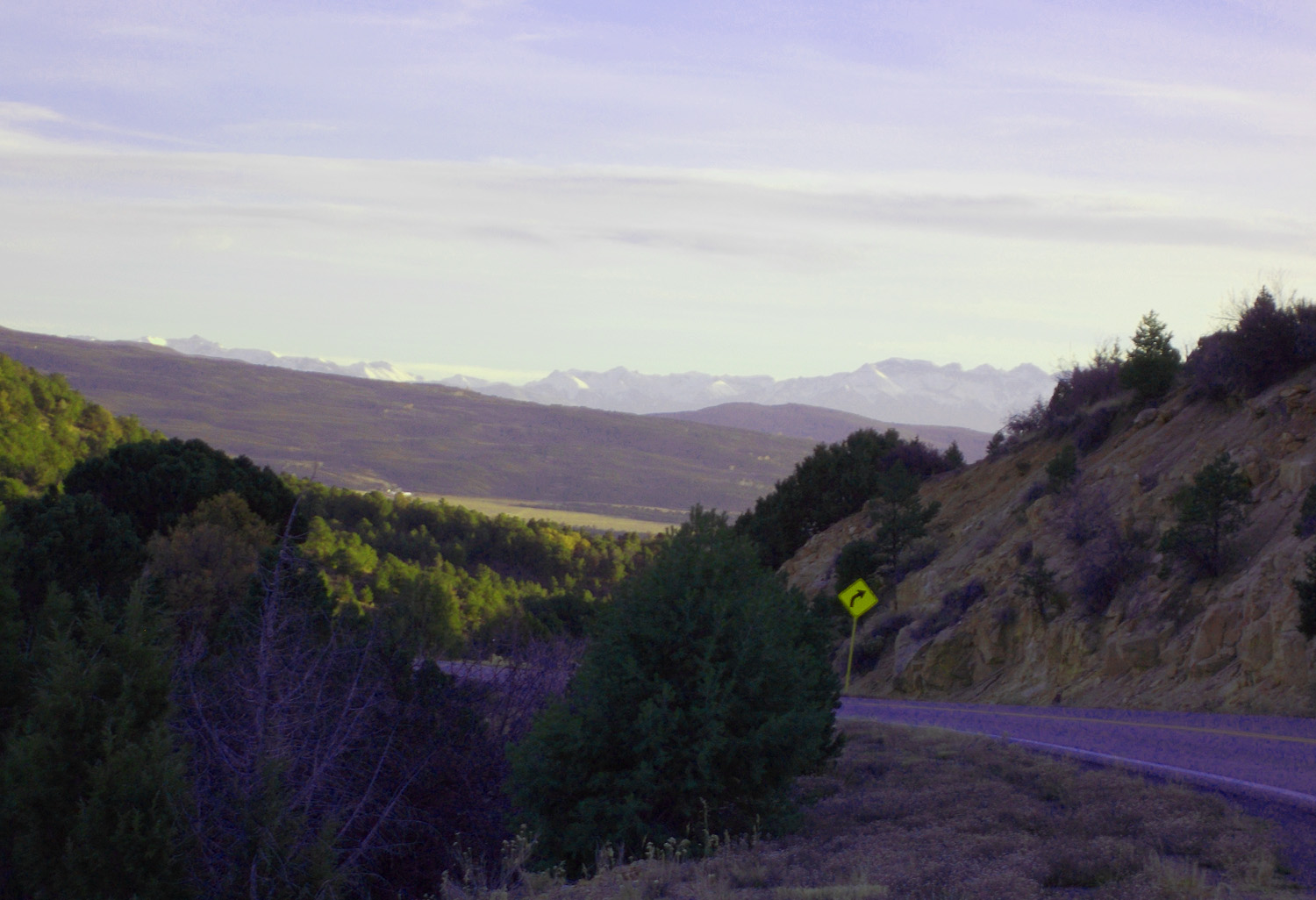
CO 349 follows dip slope of Dakota Sandstone (shown in road cut) to the Black Canyon National Park
Nov 14 2021 - 5:35 pm
Nov 14 2021 - 5:35 pm
47 / 60 (CO 349)
Nov 14 2021 - 4:17 pm
48 / 60 (CO 349)
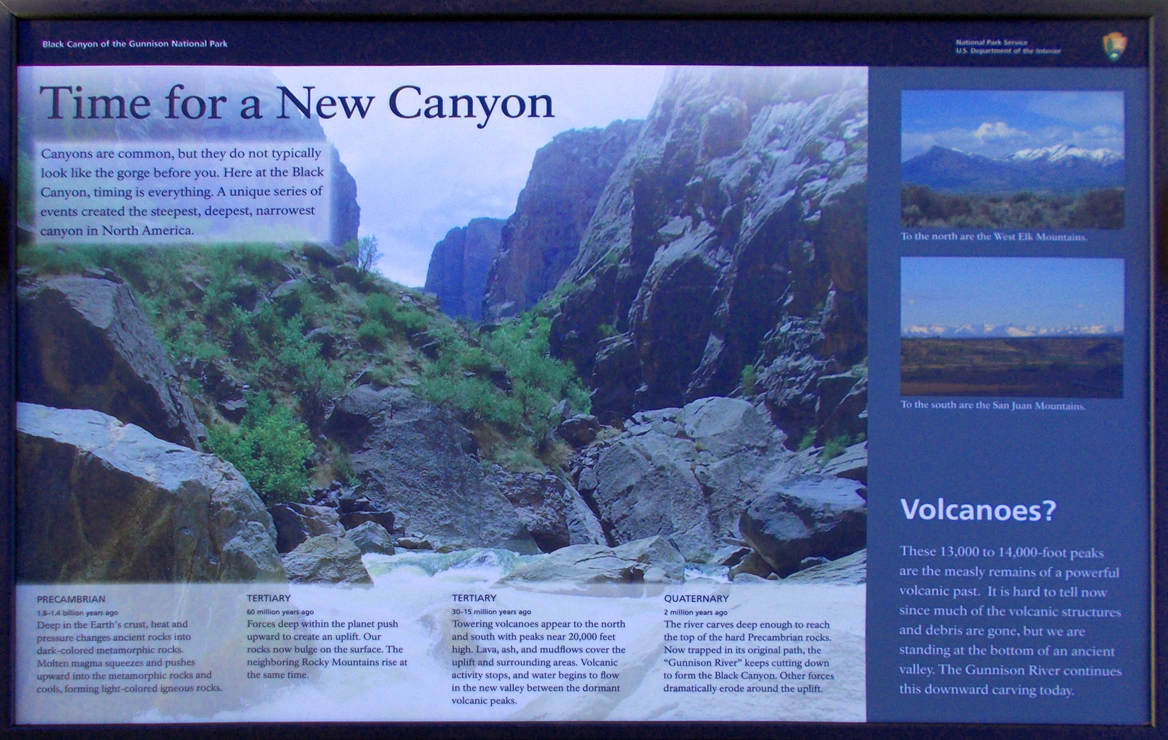
History of Black Canyon
Nov 14 2021 - 4:31 pm
Nov 14 2021 - 4:31 pm
49 / 60 (CO 349)
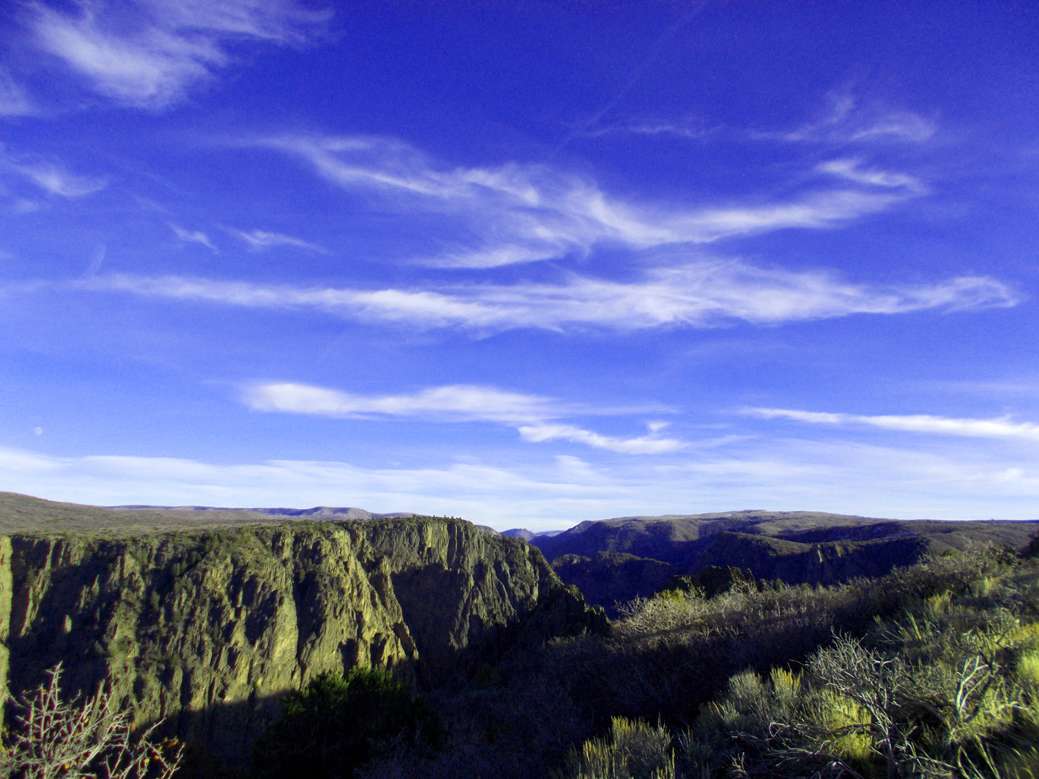
Black Canyon
Nov 14 2021 - 4:38 pm
Nov 14 2021 - 4:38 pm
50 / 60 (CO 349)
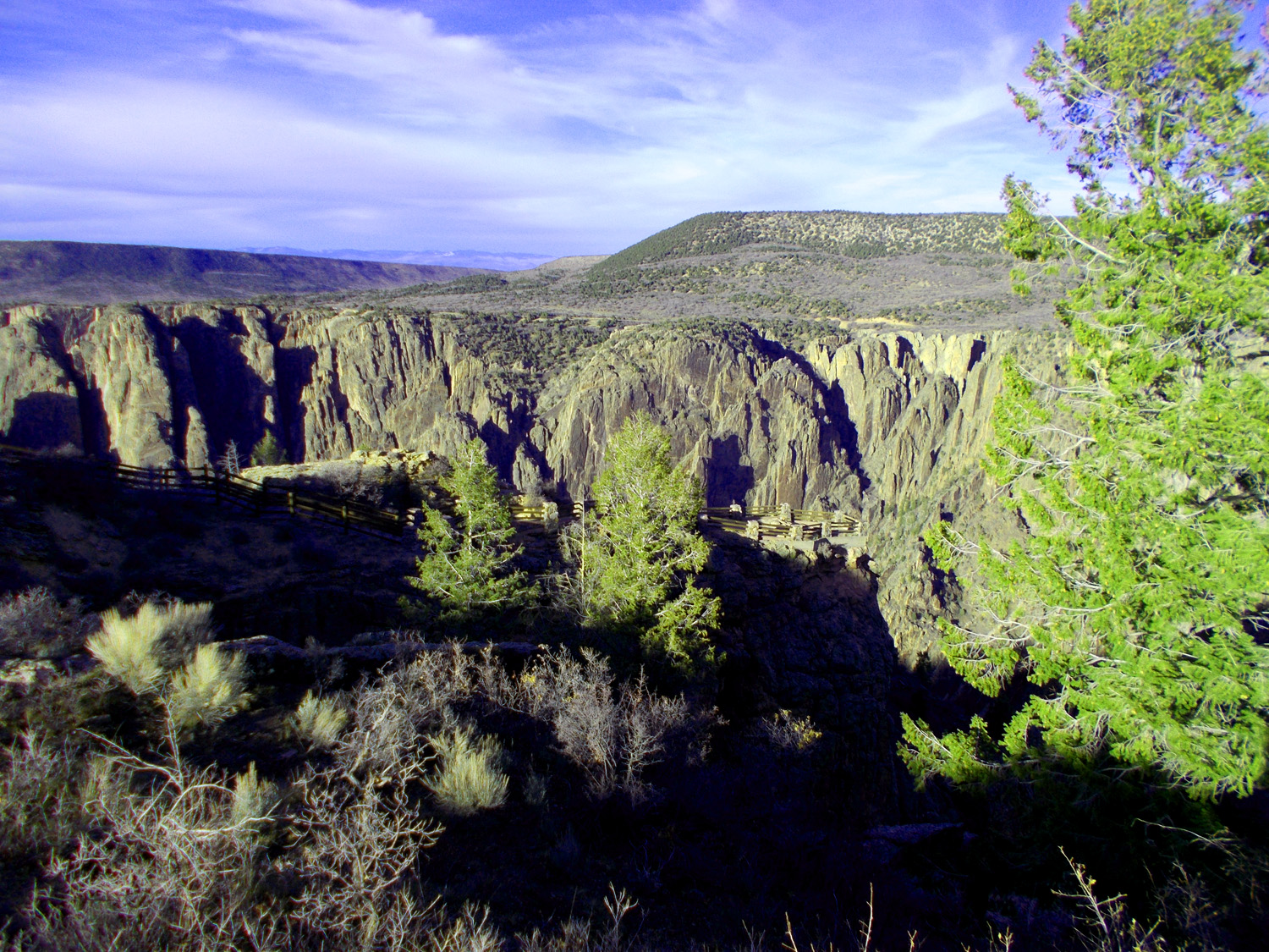
Gunnison Point Overlook
Nov 14 2021 - 4:30 pm
Nov 14 2021 - 4:30 pm
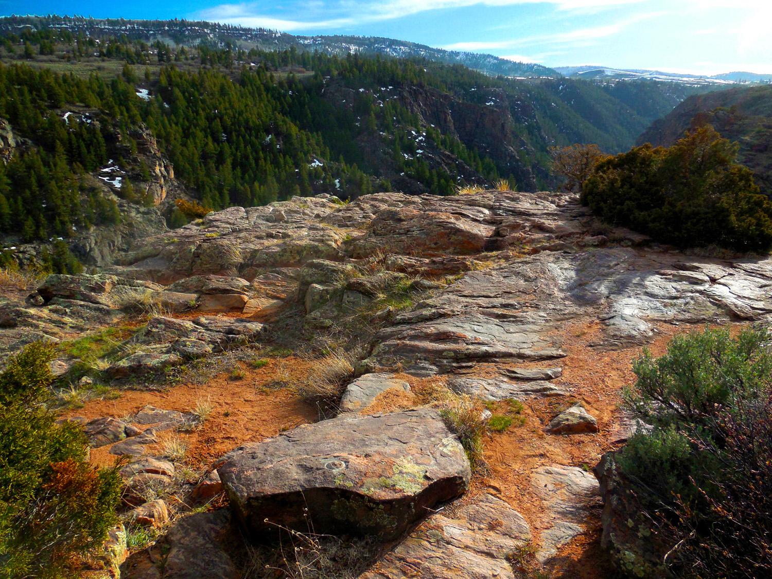
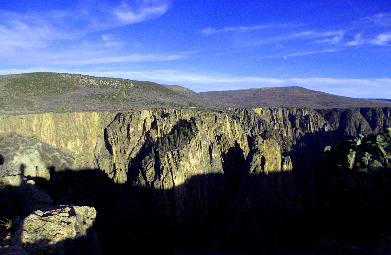
51 / 60 (CO 349)
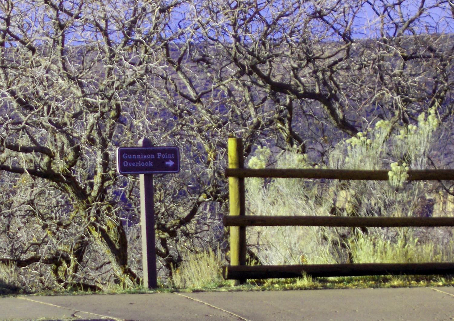
Well marked overlooks (yards to the overlook posted)
Nov 14 2021 - 4:40 pm
Nov 14 2021 - 4:40 pm
52 / 60 (CO 349)
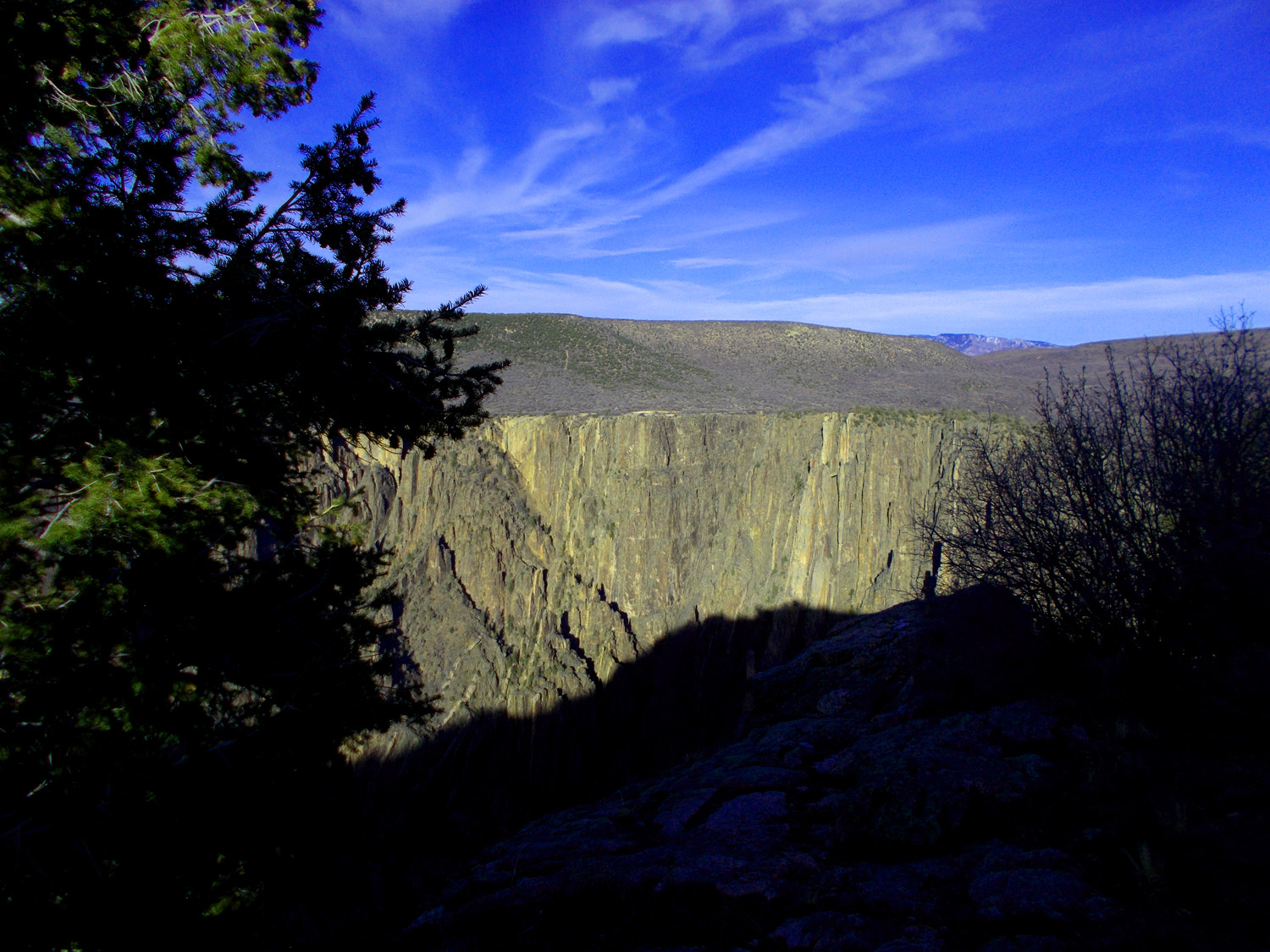
First view of the Painted Wall
Nov 14 2021 - 4:31 pm
Nov 14 2021 - 4:31 pm
53 / 60 (CO 349)
Painted Wall
Nov 14 2021 - 4:48 pm
Nov 14 2021 - 4:48 pm
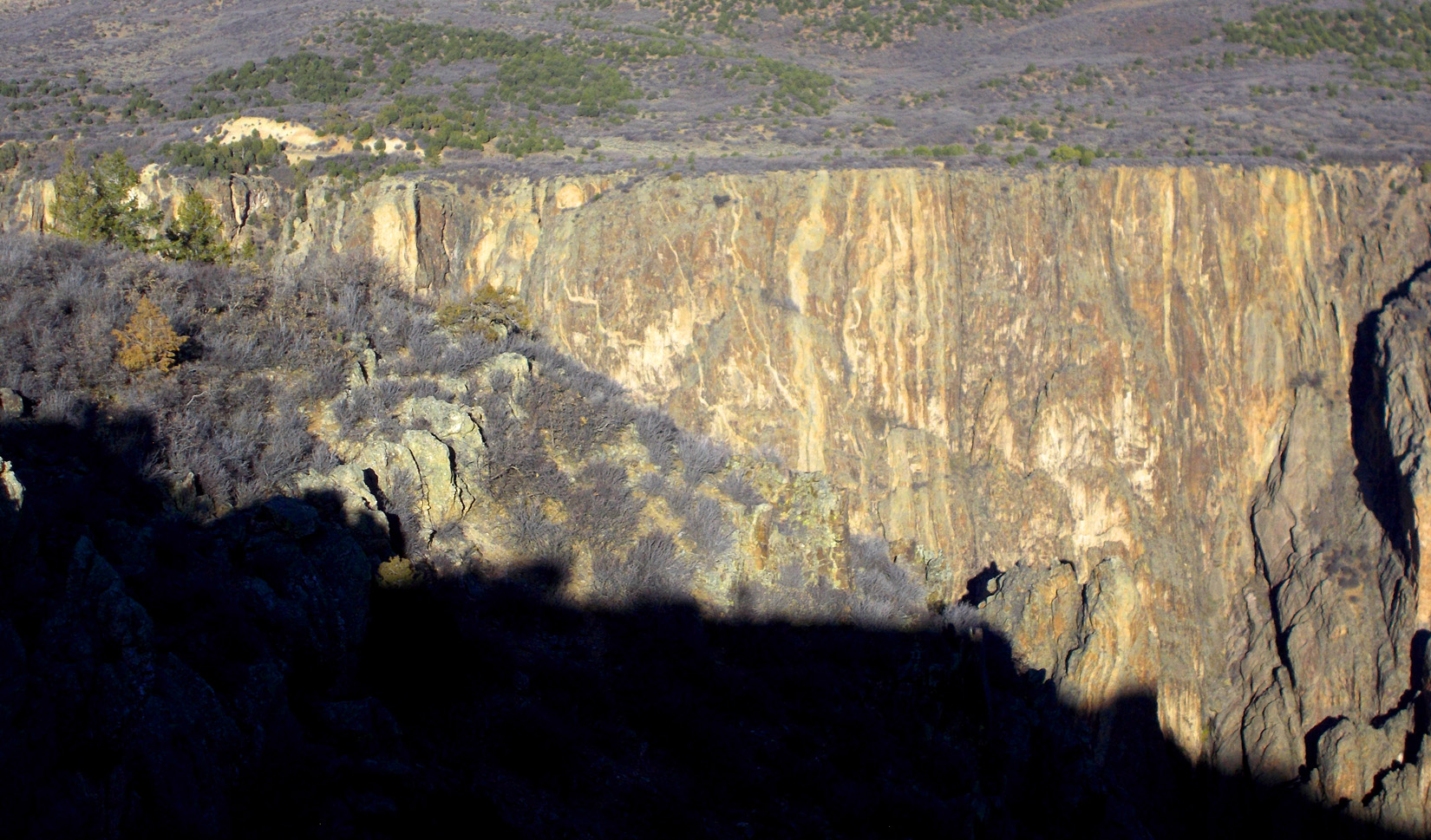
54 / 60 (CO 349)
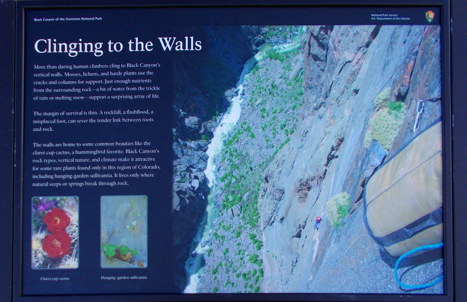
Plants live on the Painted Wall
Nov 14 2021 - 5:10 pm
Nov 14 2021 - 5:10 pm
55 / 60 (CO 349)
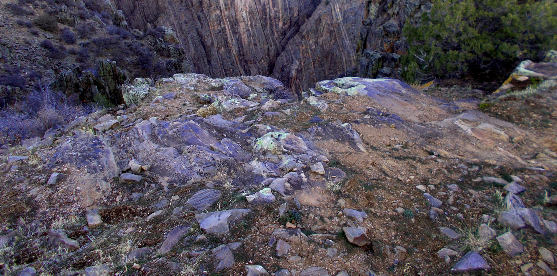
Gneiss rock type (close up and on the far side of the canyon)
Nov 14 2021 - 4:48 pm
Nov 14 2021 - 4:48 pm
56 / 60 (CO 349)
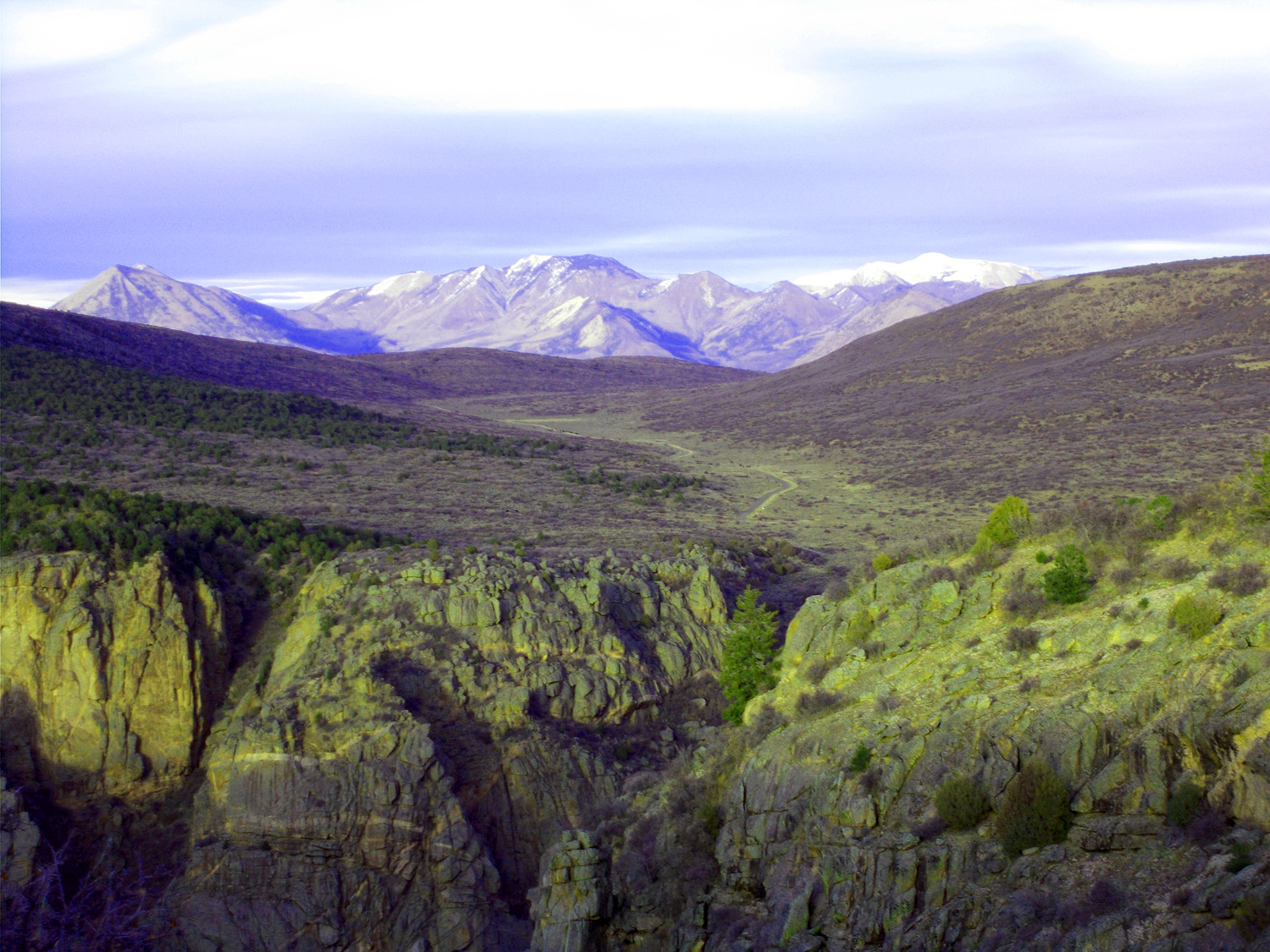
Landsend Peak (10,806', center) and Coal Mountain (11,705', right) of the West Elk Mountains
Nov 14 2021 - 4:46 pm
Nov 14 2021 - 4:46 pm
57 / 60 (CO 349)
Gibbous moonrise over Black Canyon
Nov 14 2021 - 4:50 pm
Nov 14 2021 - 4:50 pm
58 / 60 (CO 349)
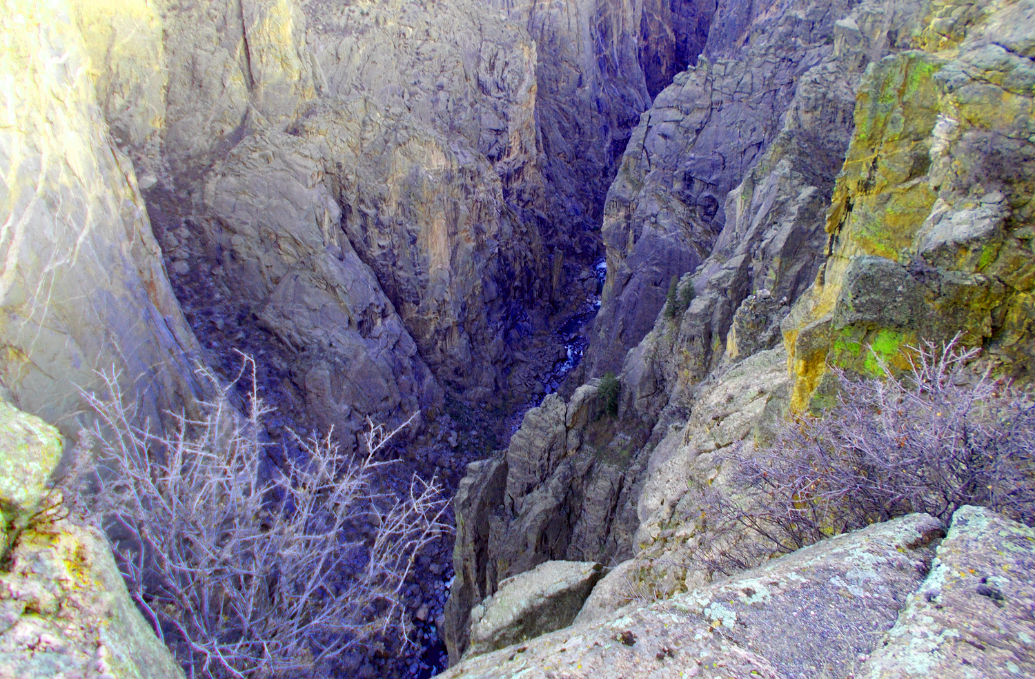
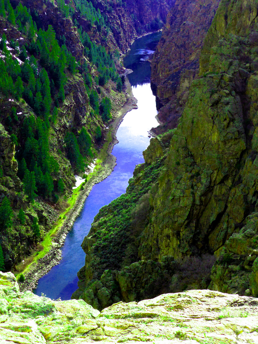
Gunnison River deep in the canyon
Nov 14 2021 - 5:11pm
Nov 14 2021 - 5:11pm
59 / 60 (CO 349)
Road to north rim of the Black Canyon through Grizzly Gulch (Landsend Peak Coal Mountain, and Mt. Gunnison (12,719') in background)
Nov 14 2021 - 5:20 pm
Nov 14 2021 - 5:20 pm
60 / 60 (CO 349)
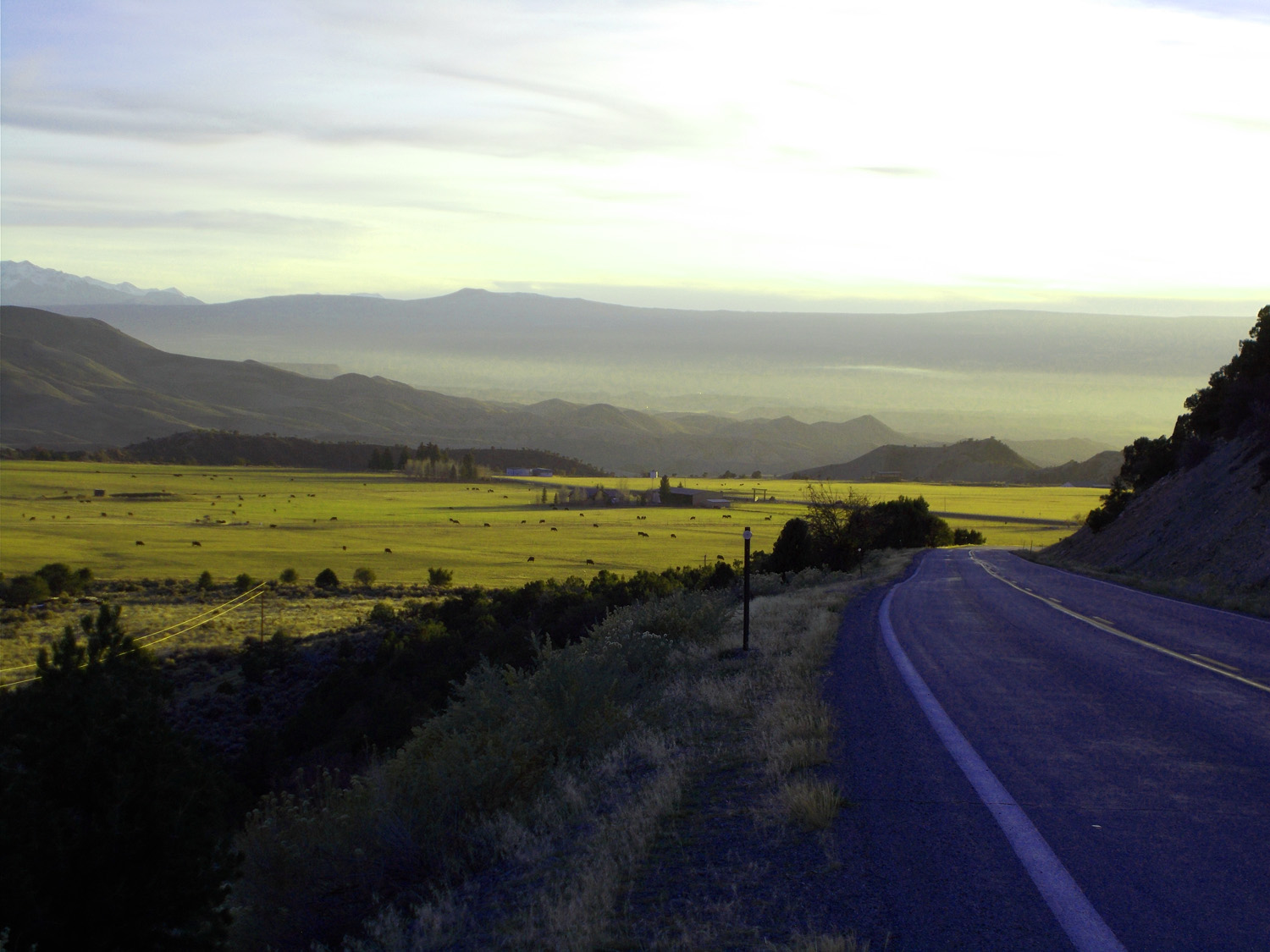
Back to US 50 (Horsefly Peak high point on Uncompahgre Plateau over irrigated Uncompahgre Valley)
Nov 14 2021 - 5:42 pm
Nov 14 2021 - 5:42 pm