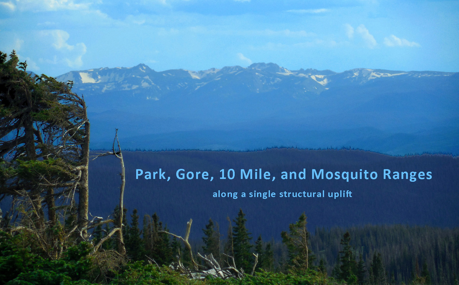
Photos follow the ranges from north to south in list order Photo shows the Park Range from Mt. Zirkel (left), unnamed ridge (center), Red Elephant Mountain (right)
Jun 29 2013 - 4:54 pm
Mountain Index click green ovals to jump ahead or behind user-controlled cycle: choose an automated cycle 2 seconds 5 seconds 10 seconds 30 seconds 60 seconds
❮
❯
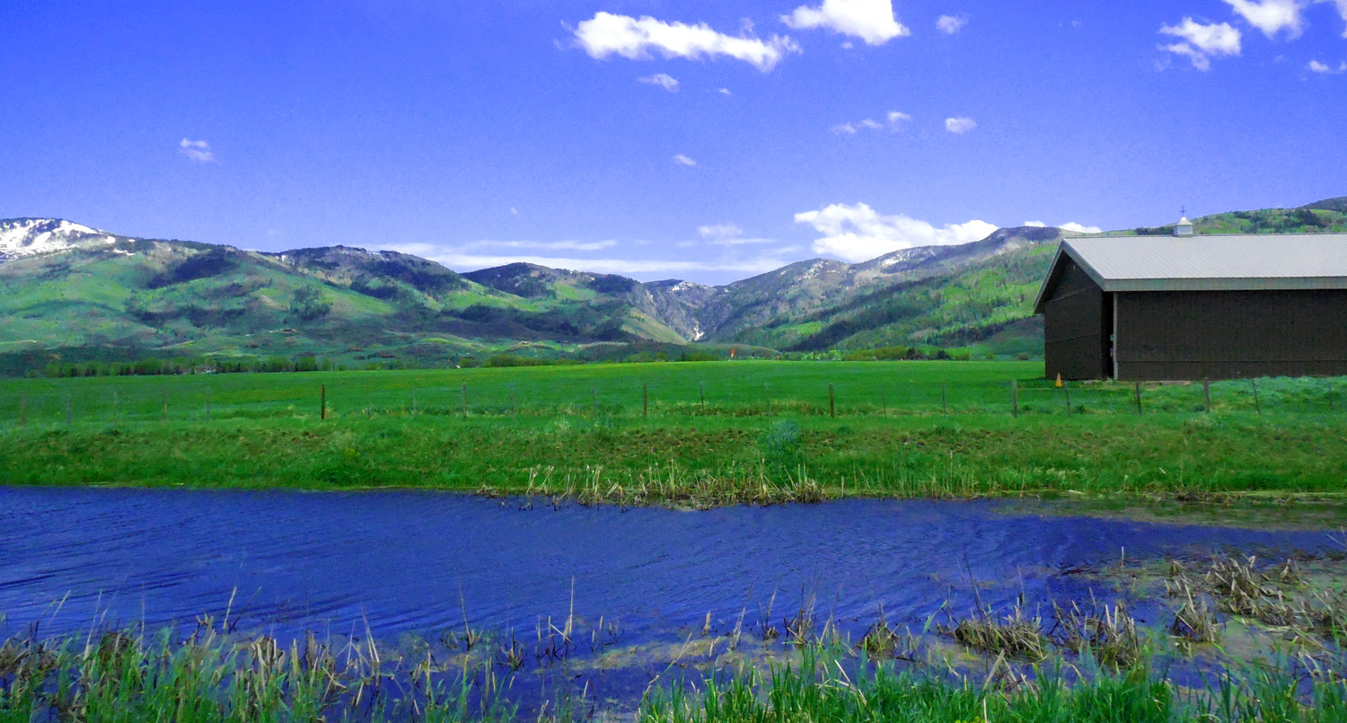
1 / 56 (WY 130)
2 / 56 (Eagle Co. 34)
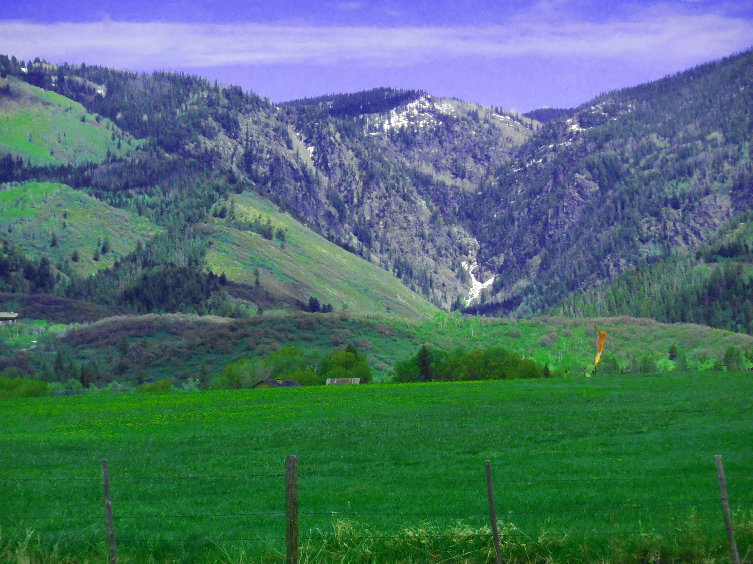
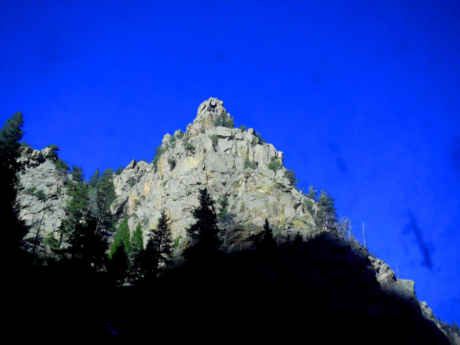
Park Range (unnamed peaks south of Mt. Zirkel, ridgeline about 12,000')
Jul 13 2017 - 10:28 am
Jul 13 2017 - 10:28 am
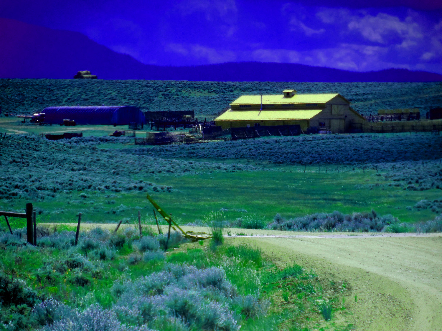
3 / 56 (Eagle Co. 34)
New copper roof reflectiing sunlight
Jun 30 2013 - 2:35 pm
Jun 30 2013 - 2:35 pm
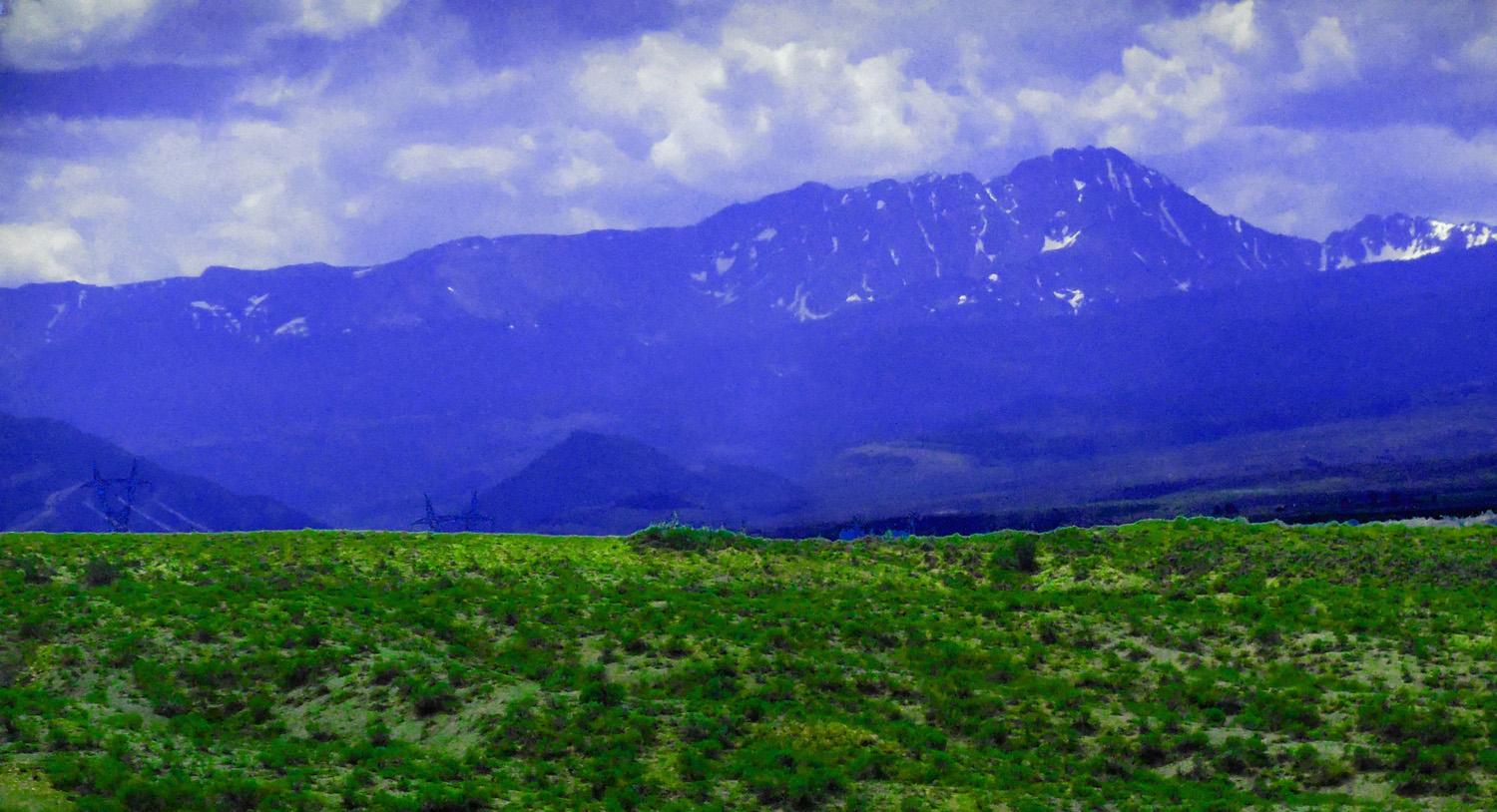
4 / 56 (Eagle Co. 27)
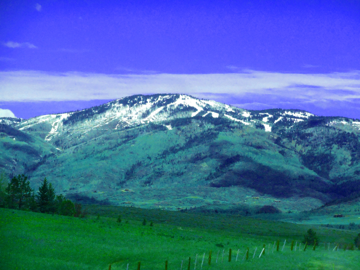
Mt. Zirkel (12,182') highest peak in the Park Range
Jul 13 2017 - 12:20 pm
Jul 13 2017 - 12:20 pm
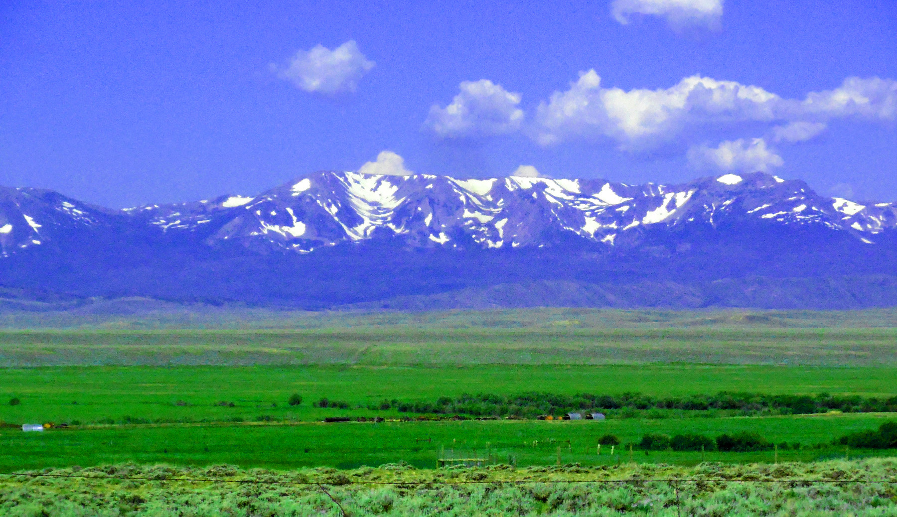
5 / 56 (CO 14)
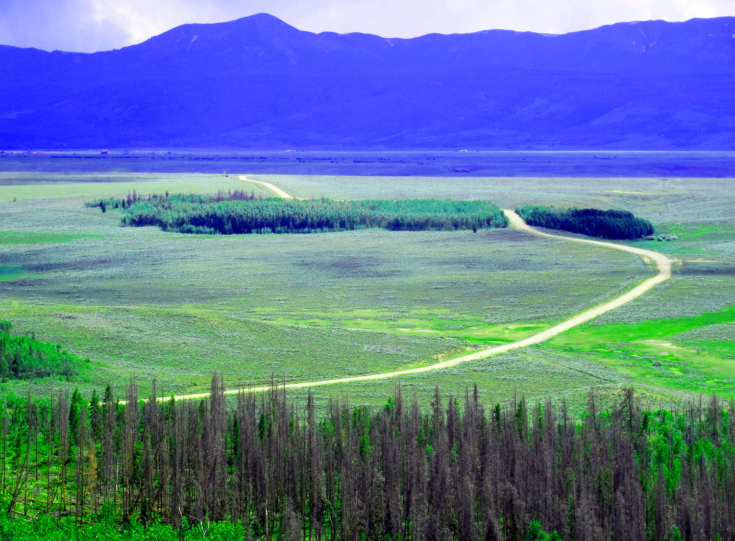
Park Range over North Park (foreground: spruce beetles)
Jun 30 2013 - 2:31 pm
Jun 30 2013 - 2:31 pm
6 / 56 (CO 131)
Glimpse of Park Range from Oak Creek on CO 131; end of views of The Flat Tops
May 20 2020 - 1:42 pm
May 20 2020 - 1:42 pm
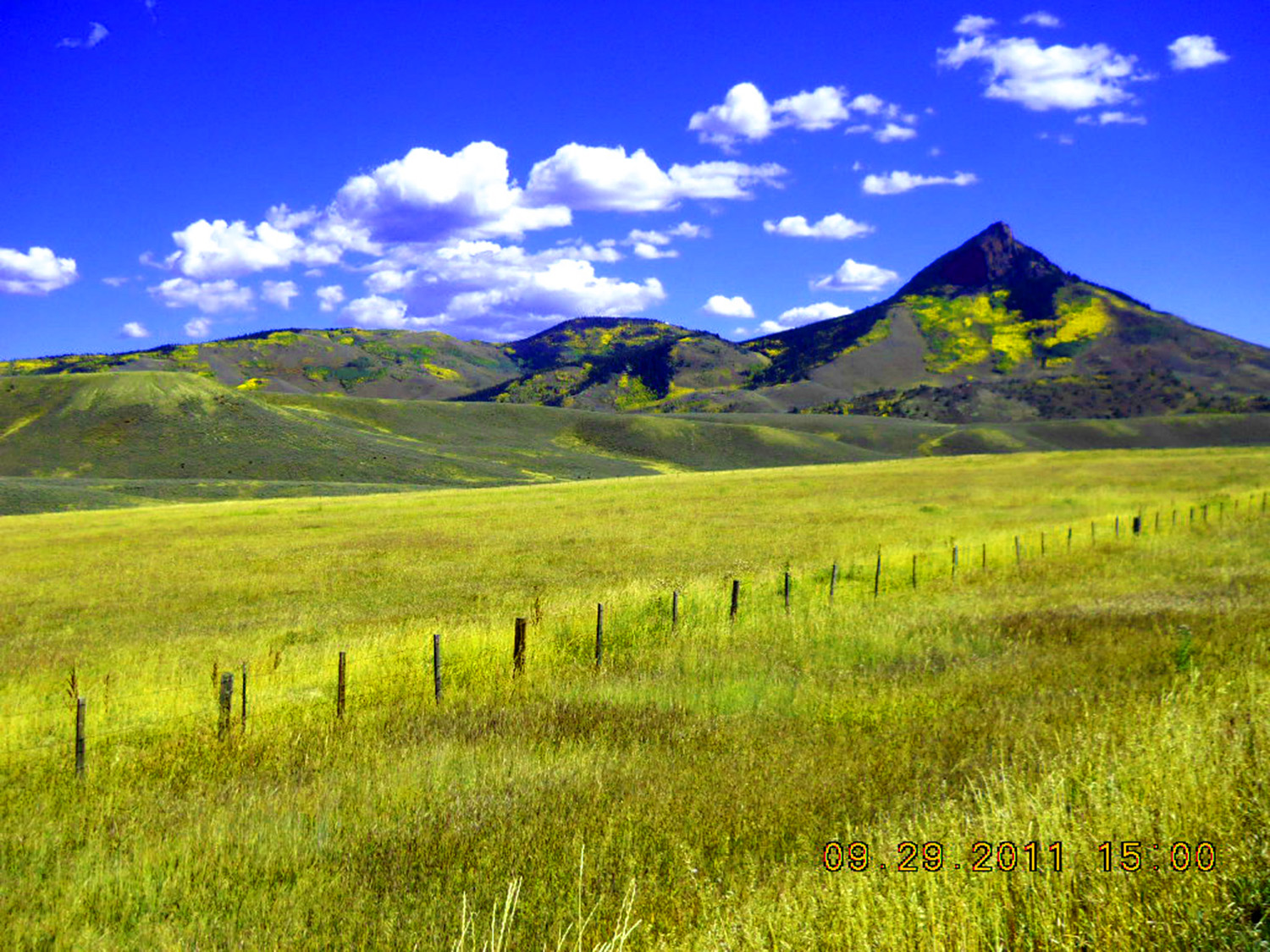
7 / 56 (CO 131)
Southern Park Range
May 20 2020 - 1:47 pm
May 20 2020 - 1:47 pm
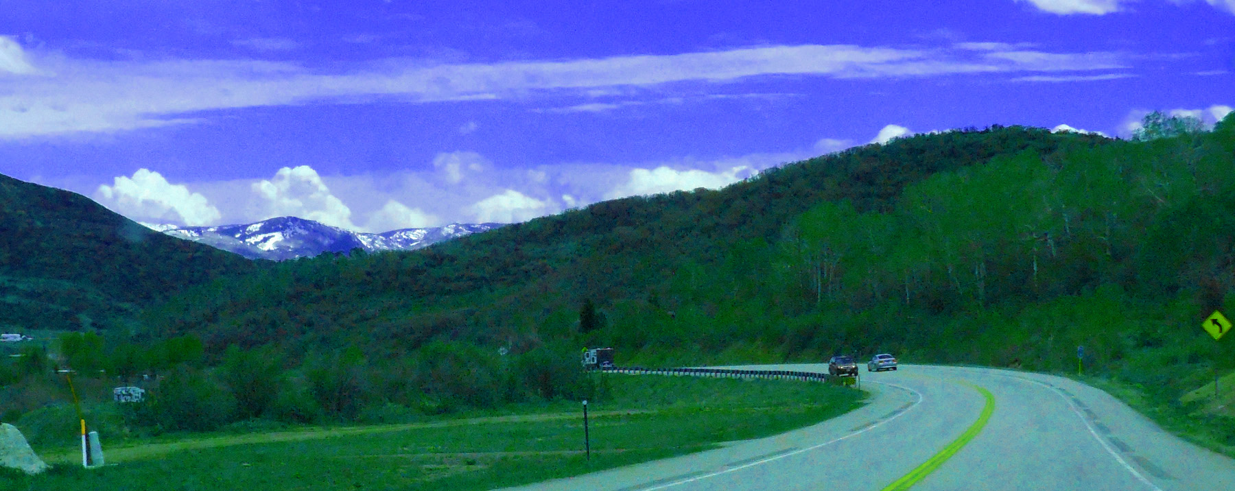
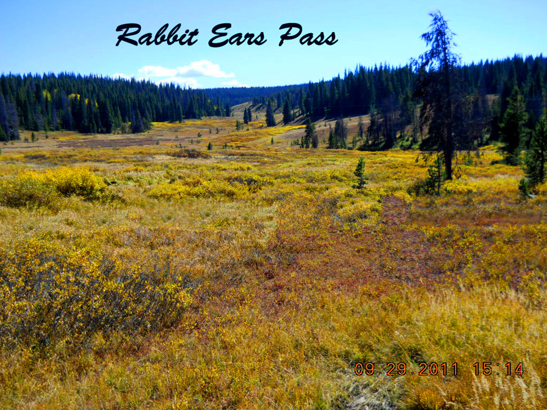
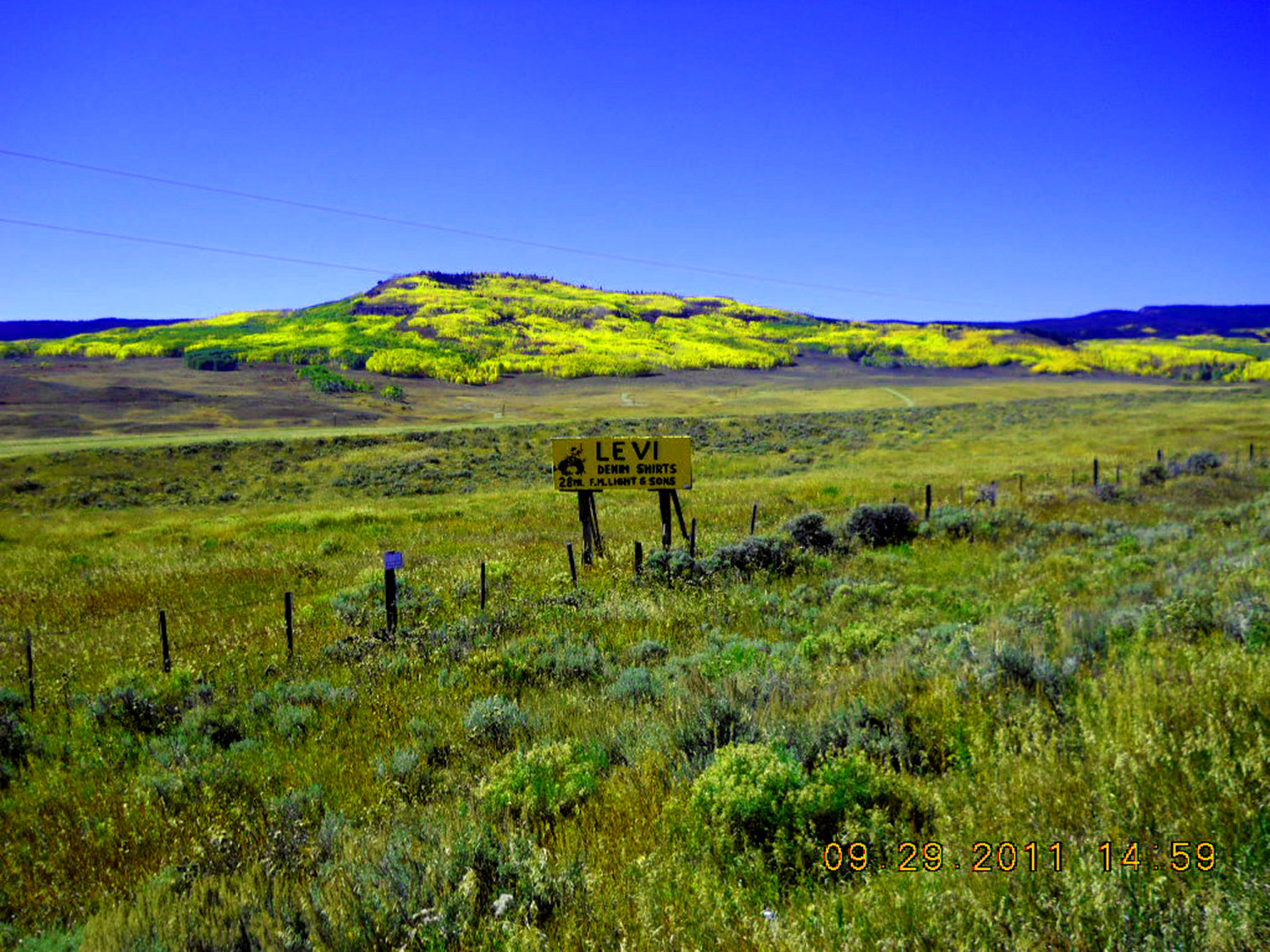
8 / 56 (US 40)
Separates Park, Gore and Rabbit Ears ranges (pass is 9,427' elevation)
Sep 29 2011 - 3:14 pm
Sep 29 2011 - 3:14 pm
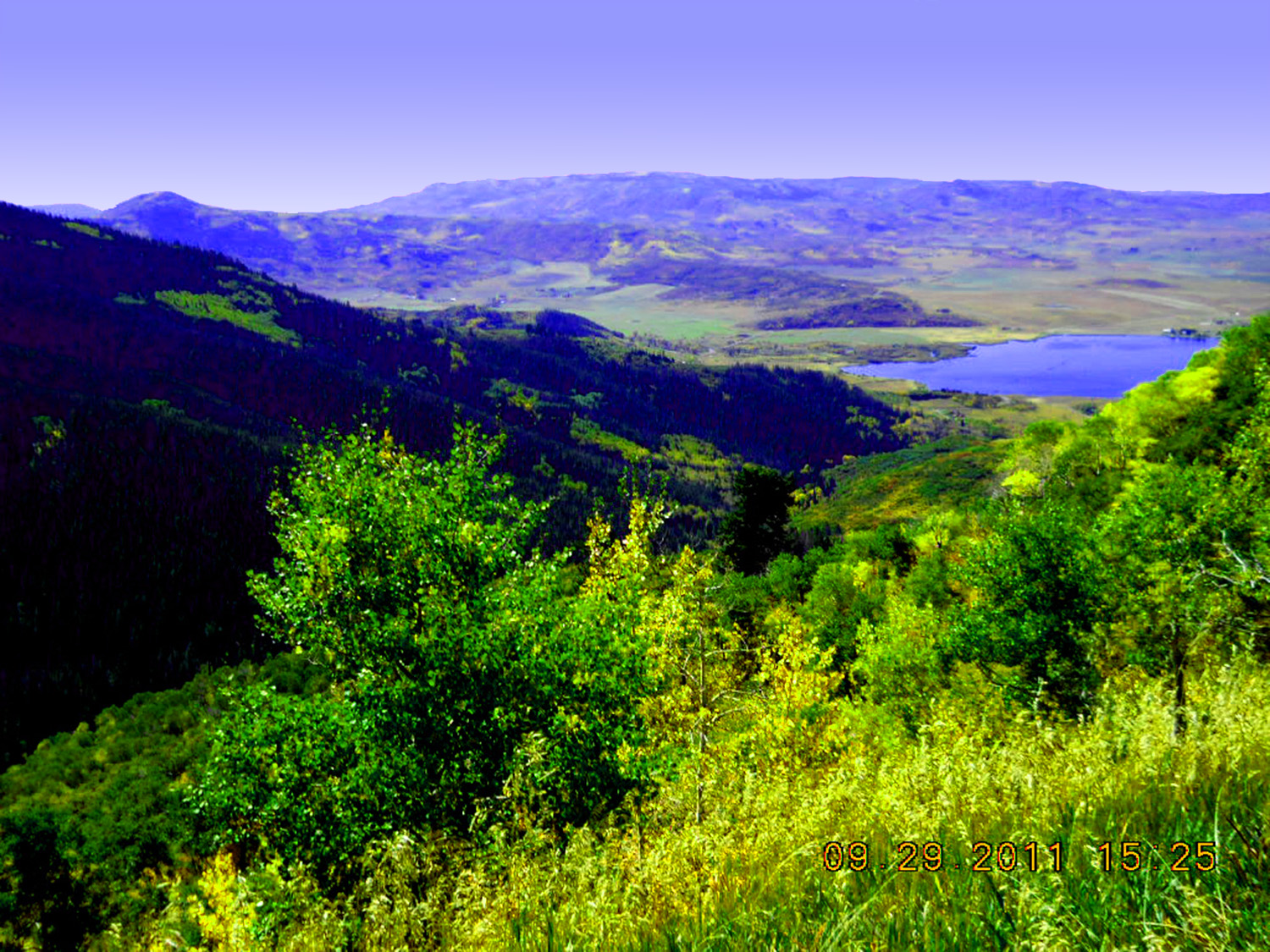
9 / 56 (US 40)
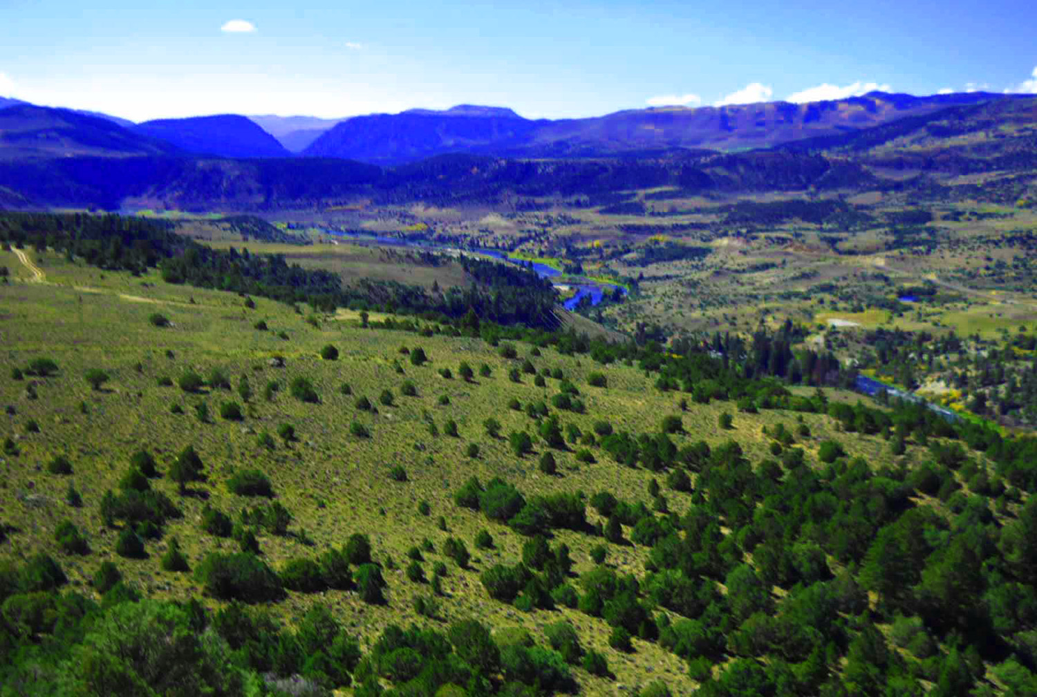
Lake Catamount in the Yampa River Valley
Sep 29 2011 - 3:25 pm
Sep 29 2011 - 3:25 pm
10 / 56 (CO 131)
Steamboat Springs Condos on west flank of Gore Range
May 20 2020 - 1:56 pm
May 20 2020 - 1:56 pm
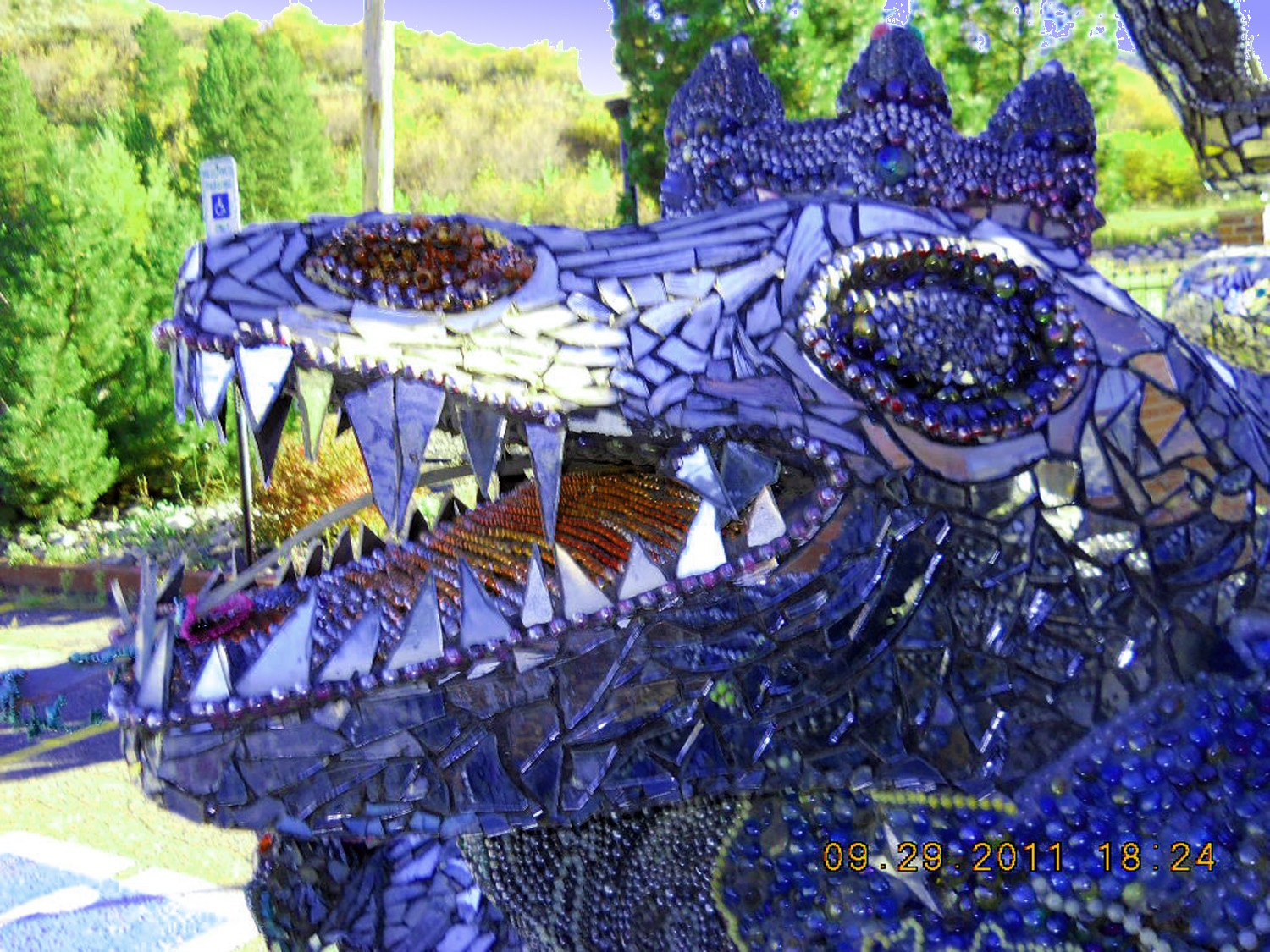
11 / 56 (US 40)
Sculpture in downtown Steamboat Springs
Sep 29 2011 - 6:24 pm
Sep 29 2011 - 6:24 pm
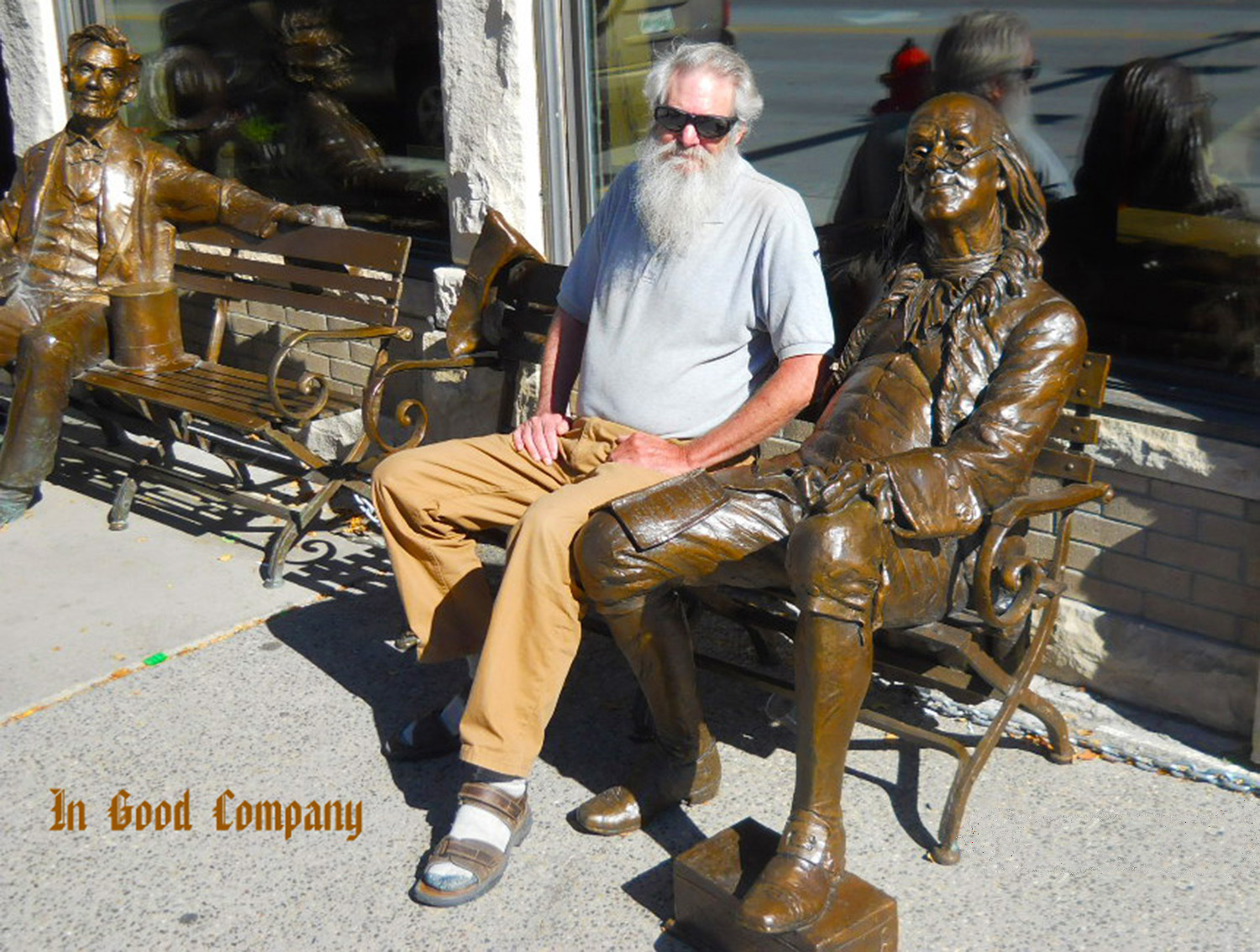
12 / 56 (US 40)
Your truly
Sep 30 2011 - 11:59 am
Sep 30 2011 - 11:59 am
13 / 56 (CO 131)
Gore Mountains over a pond in the Yampa River Valley
May 20 2020 - 1:54 pm
May 20 2020 - 1:54 pm
14 / 56 (CO 131)
Telephoto of waterfall in previous photo
May 20 2020 - 1:54 pm
May 20 2020 - 1:54 pm
15 / 56 (CO 9)
Elliot Ridge, northern Gore Range
Feb 28 2020 - 12:14 pm
Feb 28 2020 - 12:14 pm
16 / 56 (CO 9)
Mancos Shale
Feb 28 2020 - 1:04 pm
Feb 28 2020 - 1:04 pm
17 / 56 (CO 134)
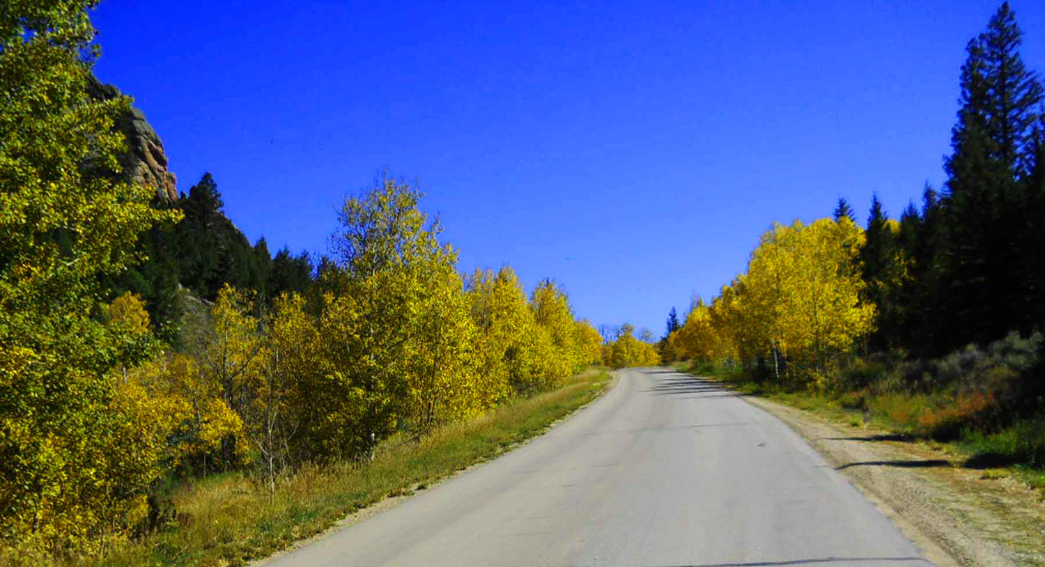
Golden Cottonwood
Sep 29 2011 - 2:09 pm
Sep 29 2011 - 2:09 pm
18 / 56 (CO 134)
Parkview Mountain (12,296') in the Rabbit Ears Range
May 20 2020 - 1:50 pm
May 20 2020 - 1:50 pm
19 / 56 (Through Road)
Colorado River exiting Gore Canyon (notch in flat-topped Gore Range)
Sep 29 2011 - 2:03 pm
Sep 29 2011 - 2:03 pm
20 / 56 (Through Road)
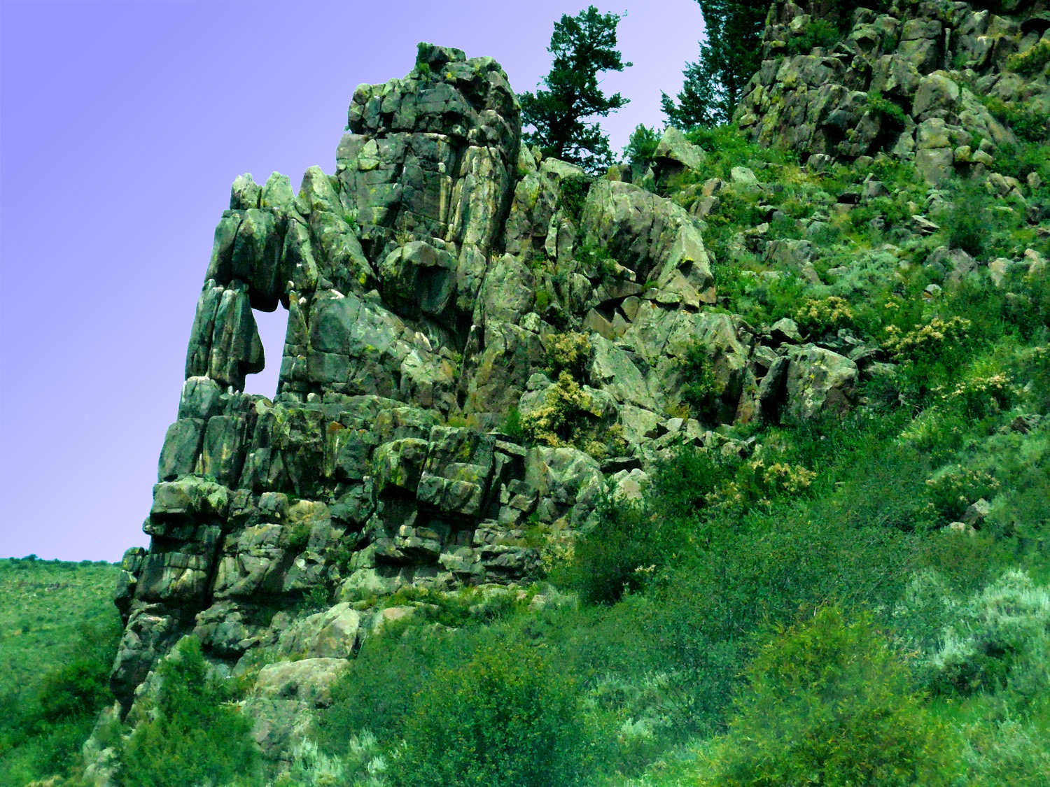
Granite Weathering
Jul 13 2017 - 12:34 pm
Jul 13 2017 - 12:34 pm
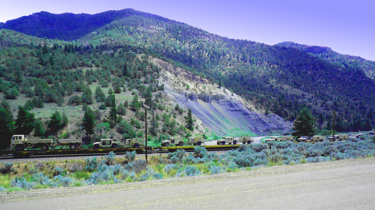
21 / 56 (Through Road)
Military train in the middle of Gore Canyon
Jul 13 2017 - 1:51 pm
Jul 13 2017 - 1:51 pm
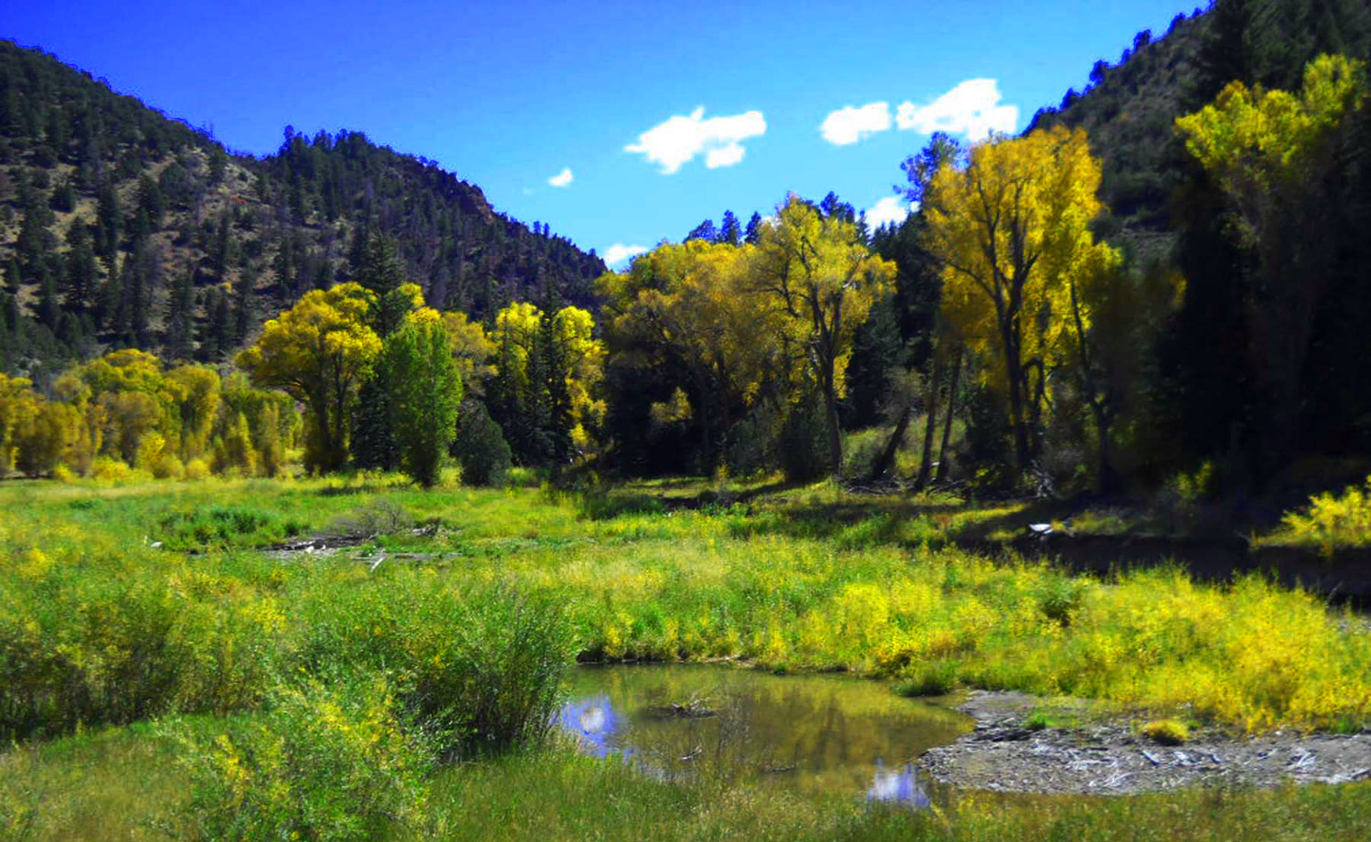
22 / 56 (Through Road)
Golden cottonwood drinking from a creek
Sep 29 2011 - 1:42 pm
Sep 29 2011 - 1:42 pm
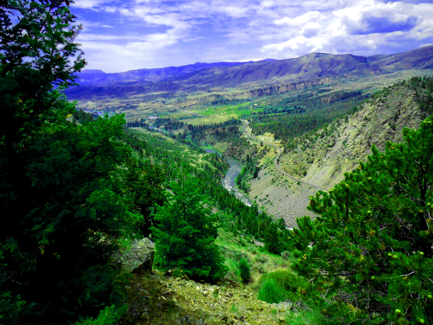
23 / 56 (Through Road)
Colorado River exiting Gore Canyon showing the railroad along the river
Jul 13 2017 - 12:41 pm
Jul 13 2017 - 12:41 pm
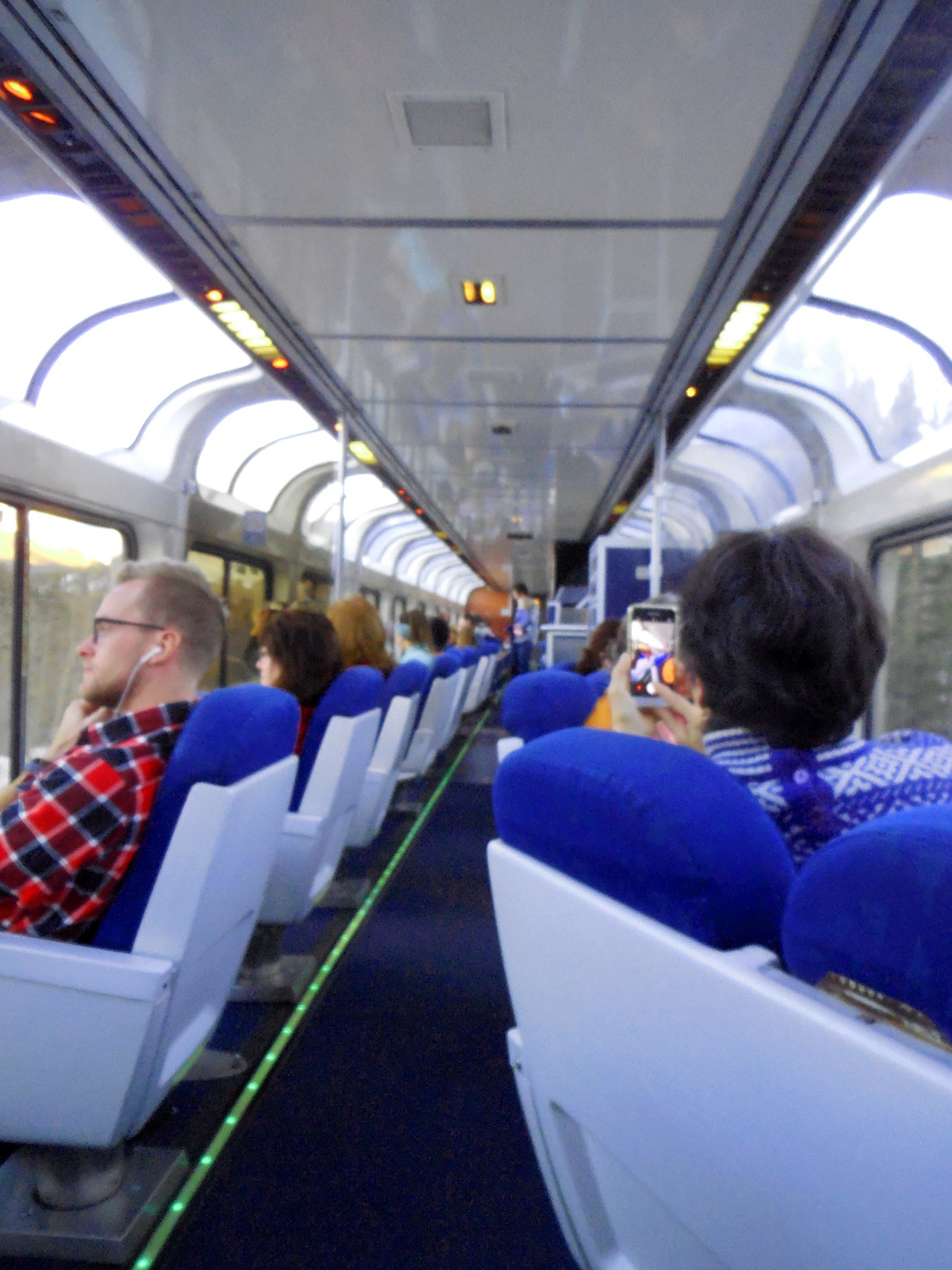
24 / 56 (Amtrak)
I took Amtrak and spent a lot of time in the "first come-first served" observation car
Nov 20 2018 - 5:00 pm
Nov 20 2018 - 5:00 pm
25 / 56 (Amtrak)
Lots of view of high granite cliffs (splotches are from observation car windows)
Nov 20 2018 - 3:24 pm
Nov 20 2018 - 3:24 pm
26 / 56 (Through Road)
Colorful Colorado
Sep 29 2011 - 2:59 pm
Sep 29 2011 - 2:59 pm
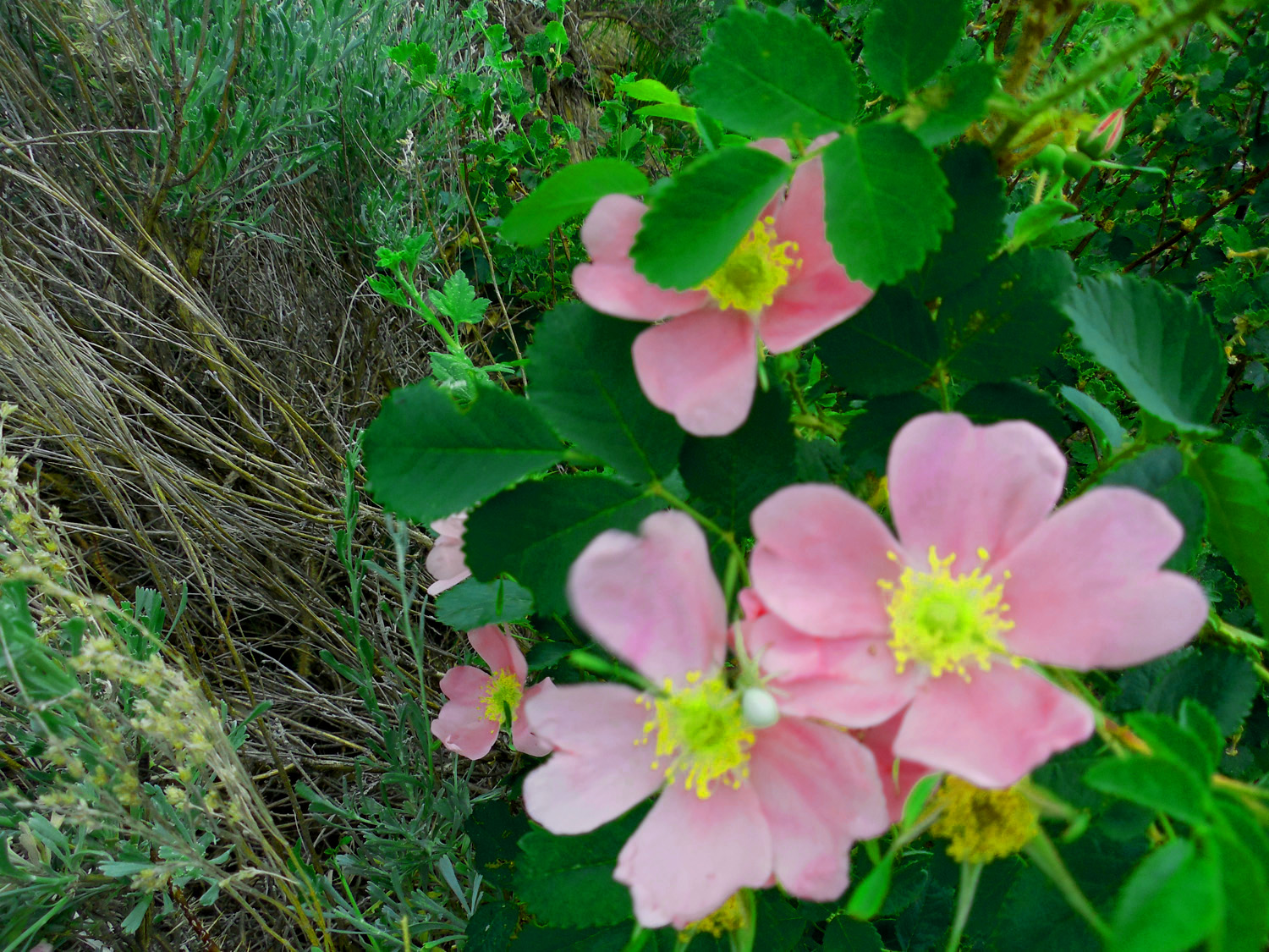
27 / 56 (Through Road)
Always wild flowers along the roads
Jun 30 2013 - 1:06 pm
Jun 30 2013 - 1:06 pm
28 / 56 (Through Road)
Volcanic rocks in mid Gore Range
Sep 29 2011 - 3:00 pm
Sep 29 2011 - 3:00 pm
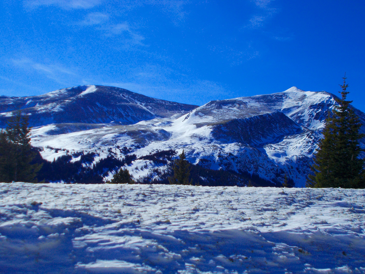
29 / 56 (CO 9)
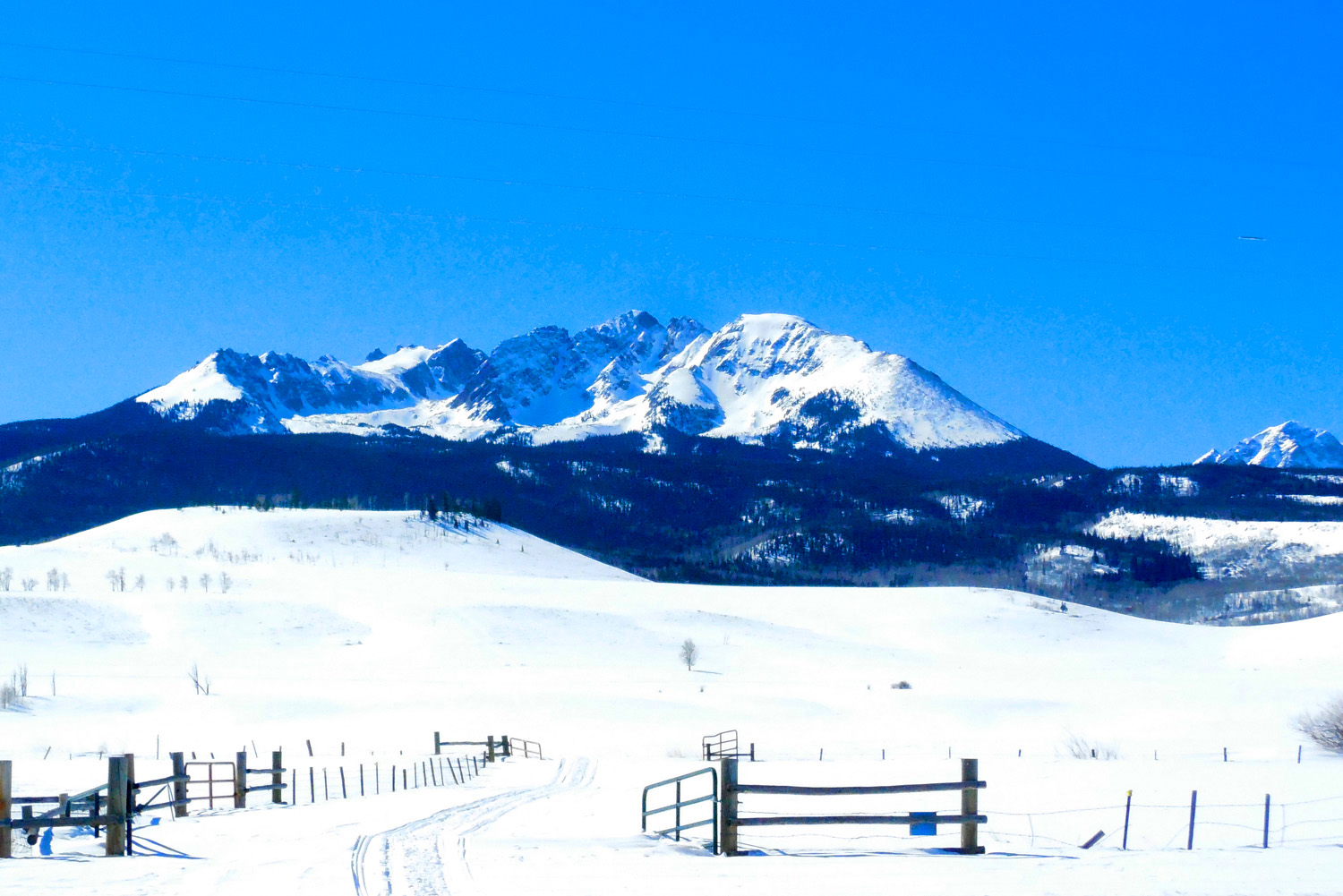
Eagles Nest (13,432', center-right), Mt. Powell (13,586', center-left) highest peaks in the Gore Range
Feb 28 2020 - 12:07 pm
Feb 28 2020 - 12:07 pm
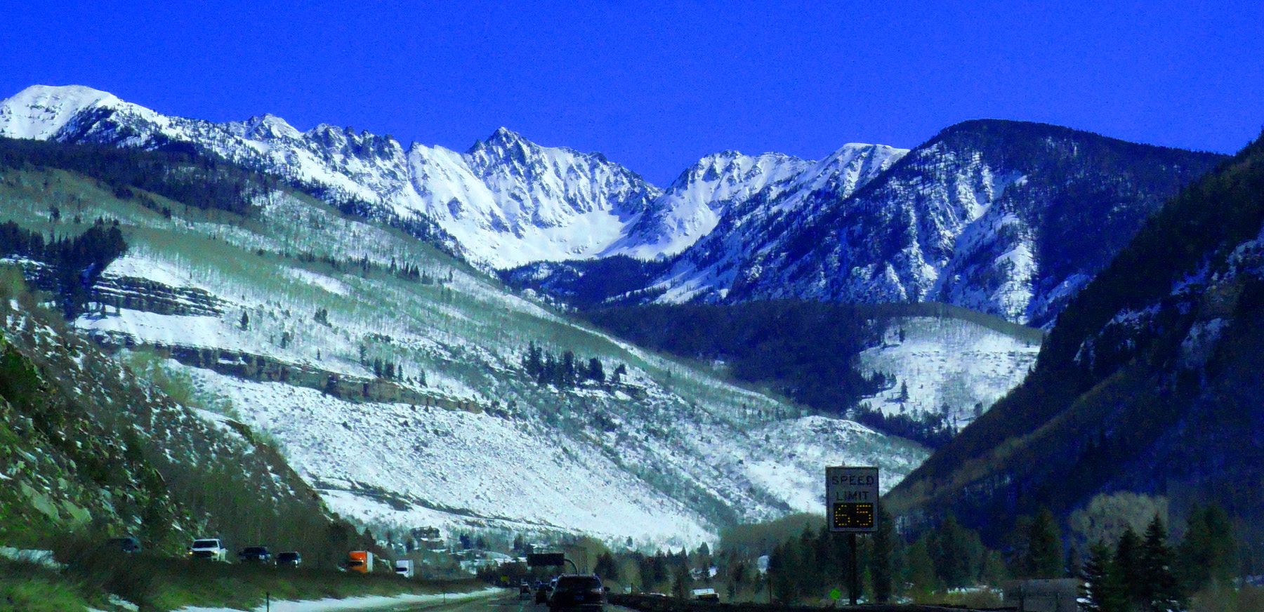
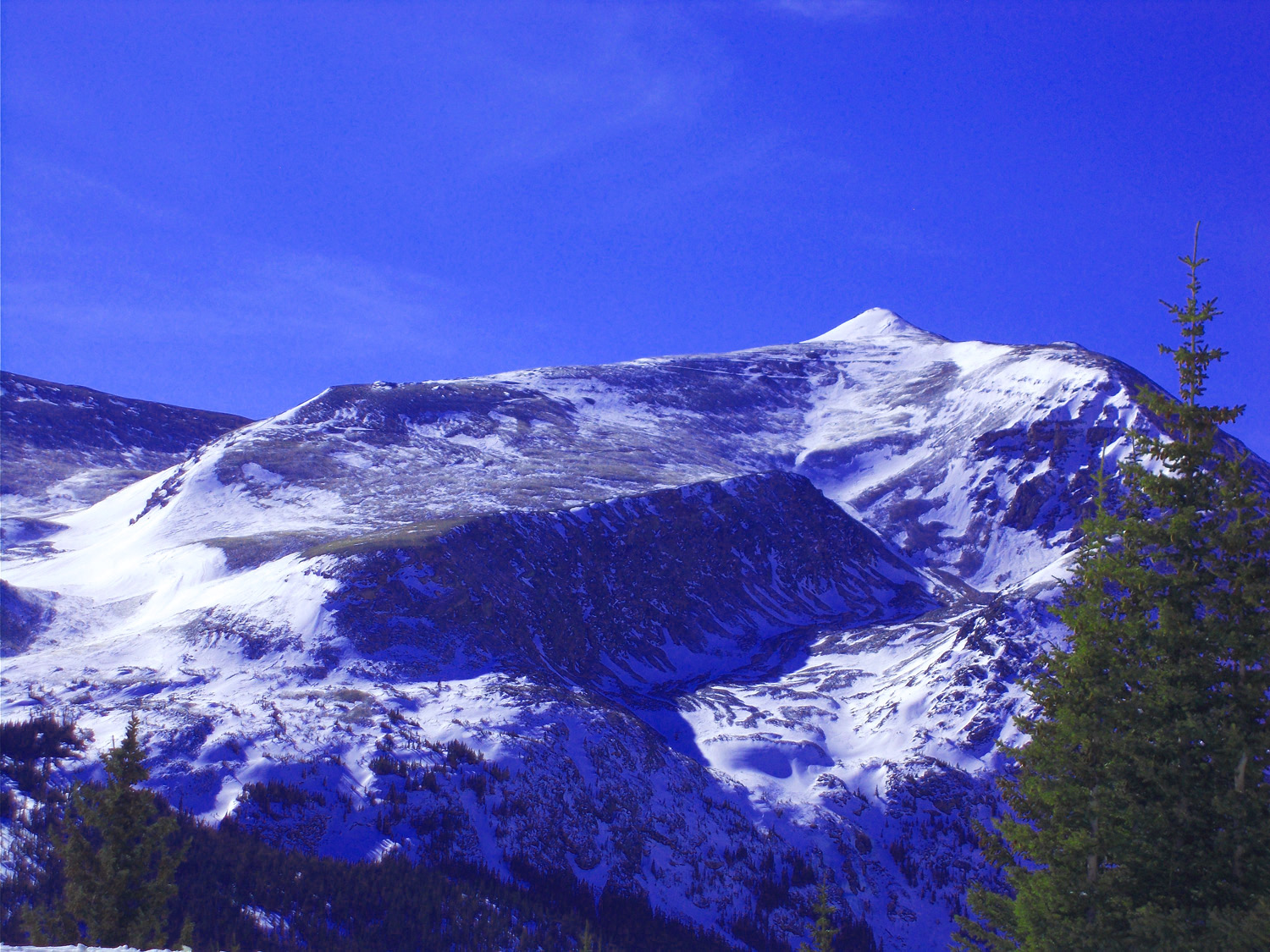
30 / 56 (I 70)
Eagles Nest from the west near Vail
Feb 28 2020 - 11:21 am
Feb 28 2020 - 11:21 am
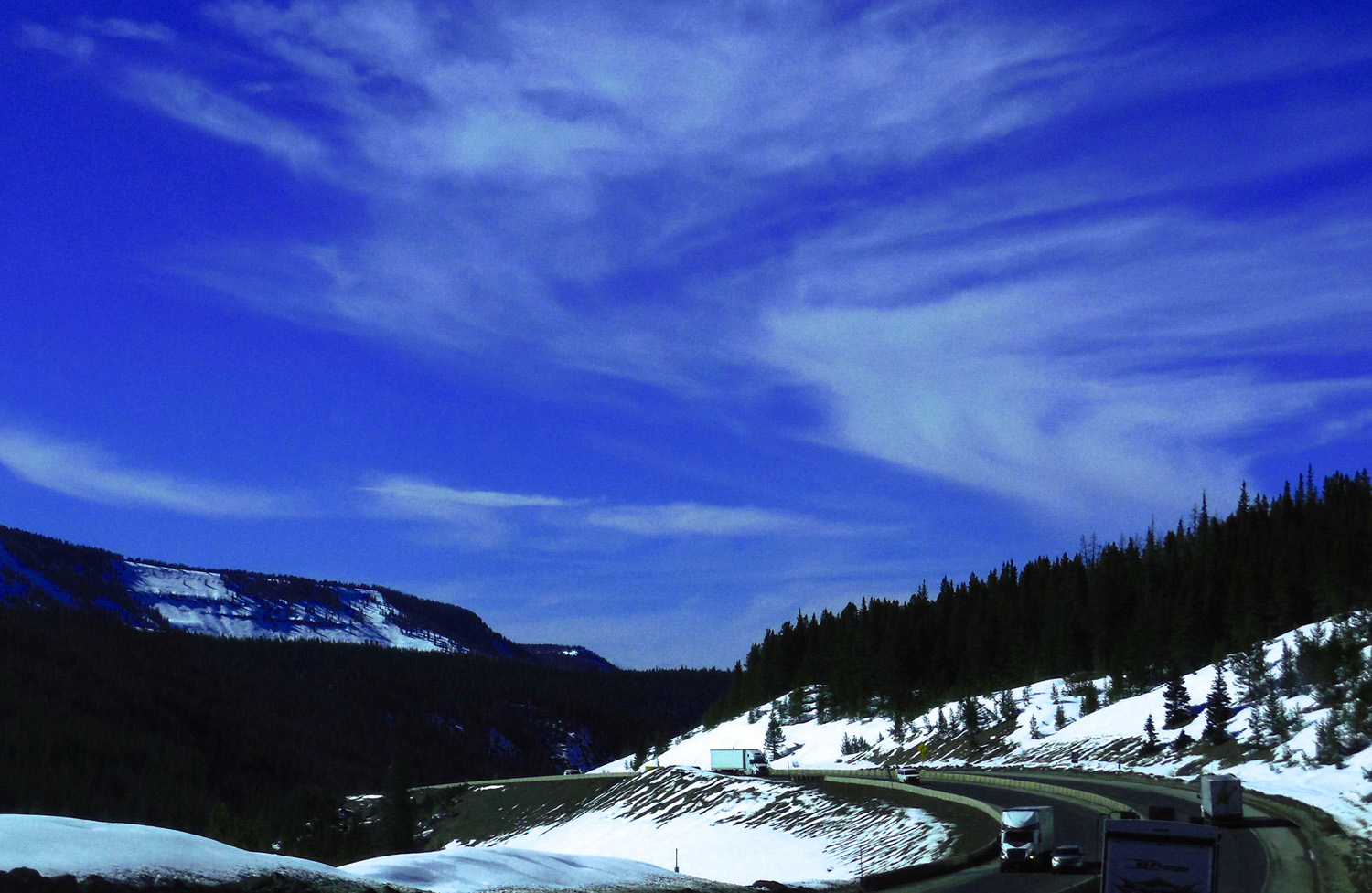
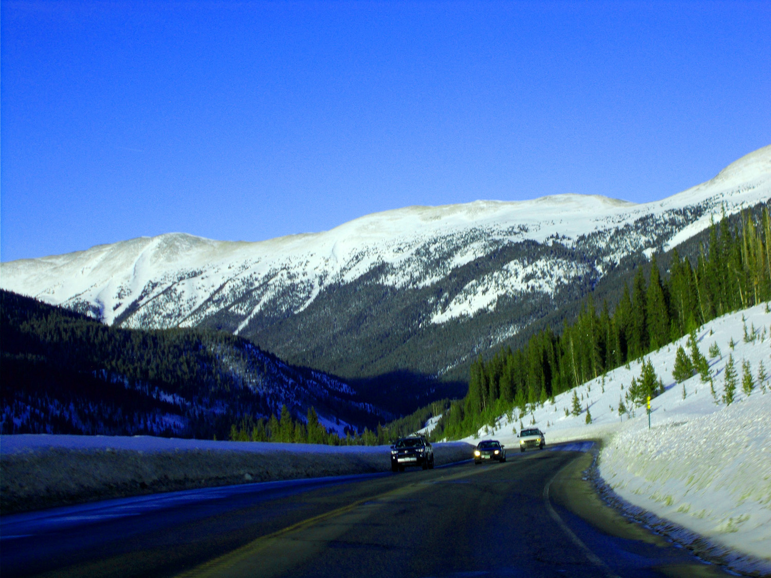
31 / 56 (I 70)
Vail Pass
Apr 06 2017 - 4:09 pm
Apr 06 2017 - 4:09 pm
32 / 56 (CO 9)
Silverthorne CO
Feb 28 2020 - 11:51 am
Feb 28 2020 - 11:51 am
33 / 56 (CO 9)
Frisco, gateway to Breckenridge
Feb 28 2020 - 2:03 pm
Feb 28 2020 - 2:03 pm
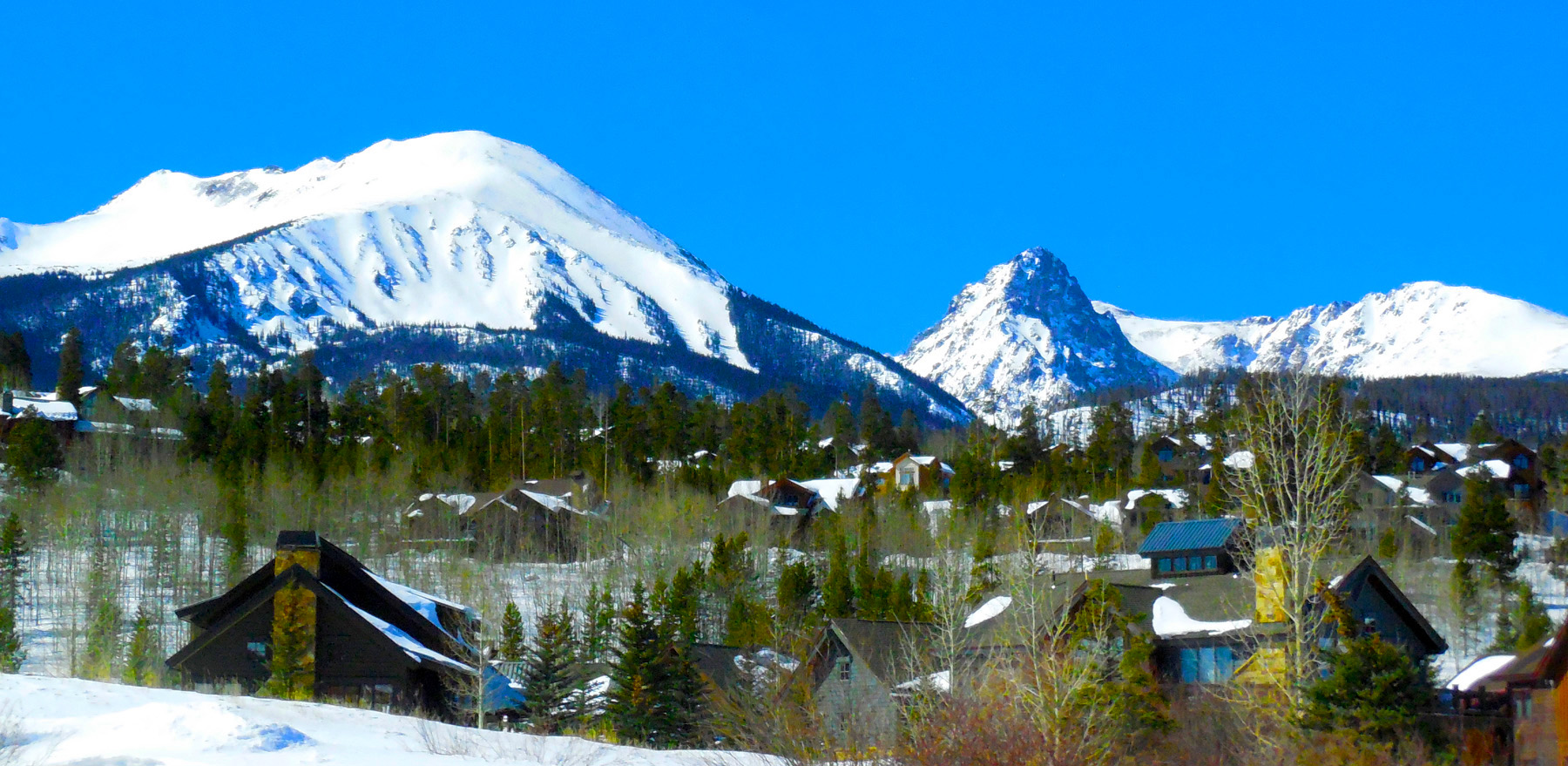
34 / 56 (CO 9)
Breckenridge below Peak 8 of the Ten Mile Range
Feb 28 2020 - 2:03 pm
Feb 28 2020 - 2:03 pm
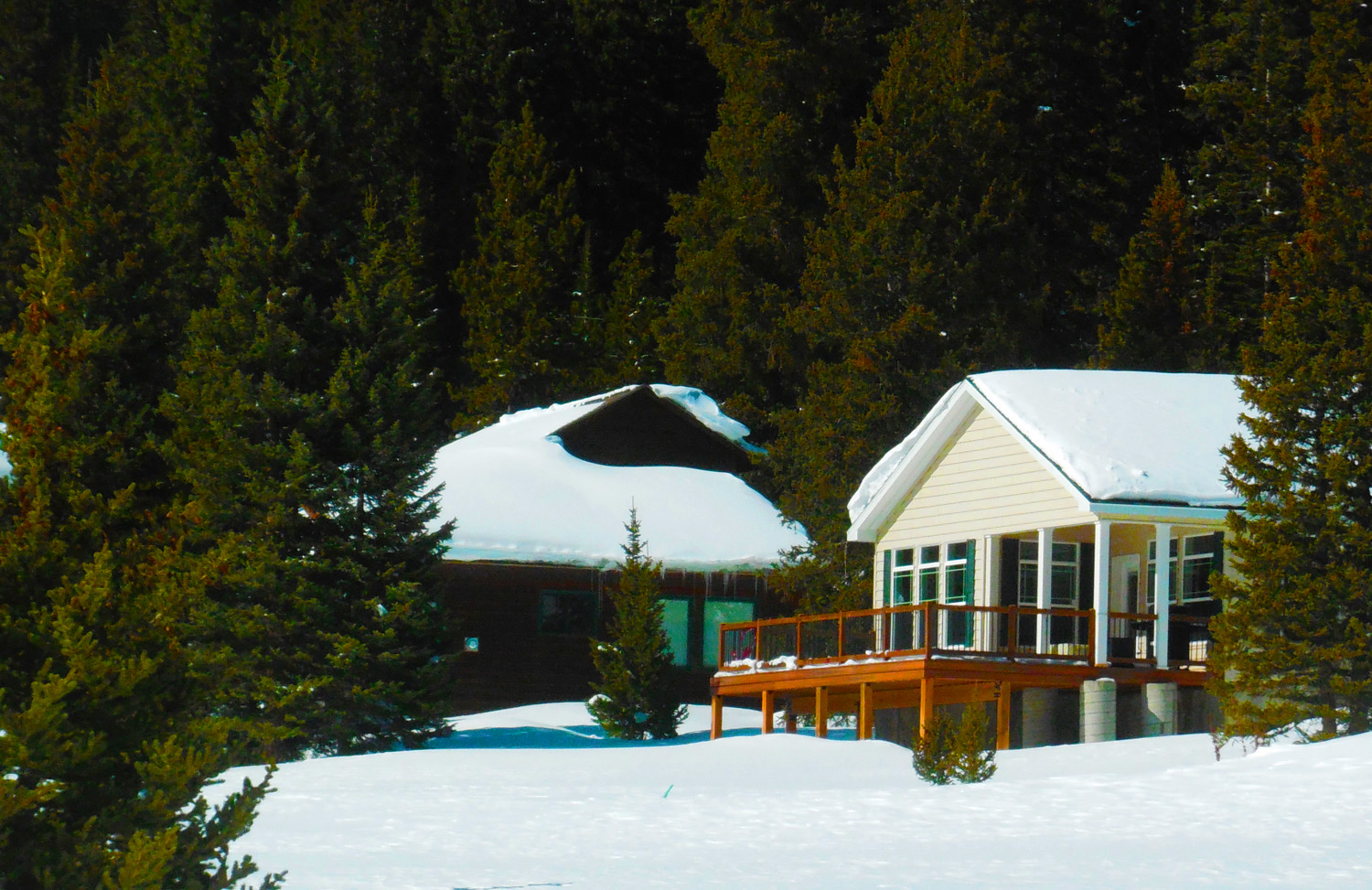
35 / 56 (CO 9)
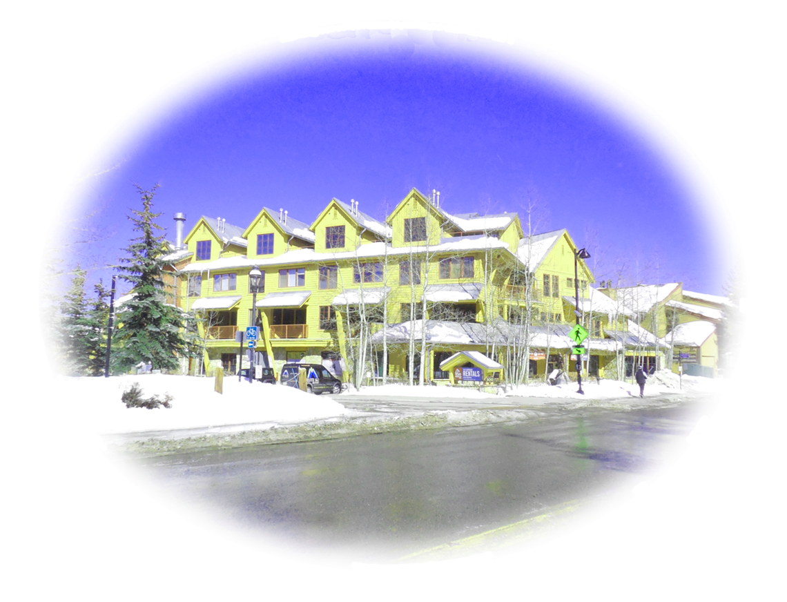
Snow Covered Houses in Breckenridge
Feb 28 2020 - 2:16 pm
Feb 28 2020 - 2:16 pm
36 / 56 (CO 9)
Peak Ten
Feb 28 2020 - 2:17 pm
Feb 28 2020 - 2:17 pm
37 / 56 (CO 91)
West Side of Ten Mile Range
Feb 28 2020 - 4:45 pm
Feb 28 2020 - 4:45 pm
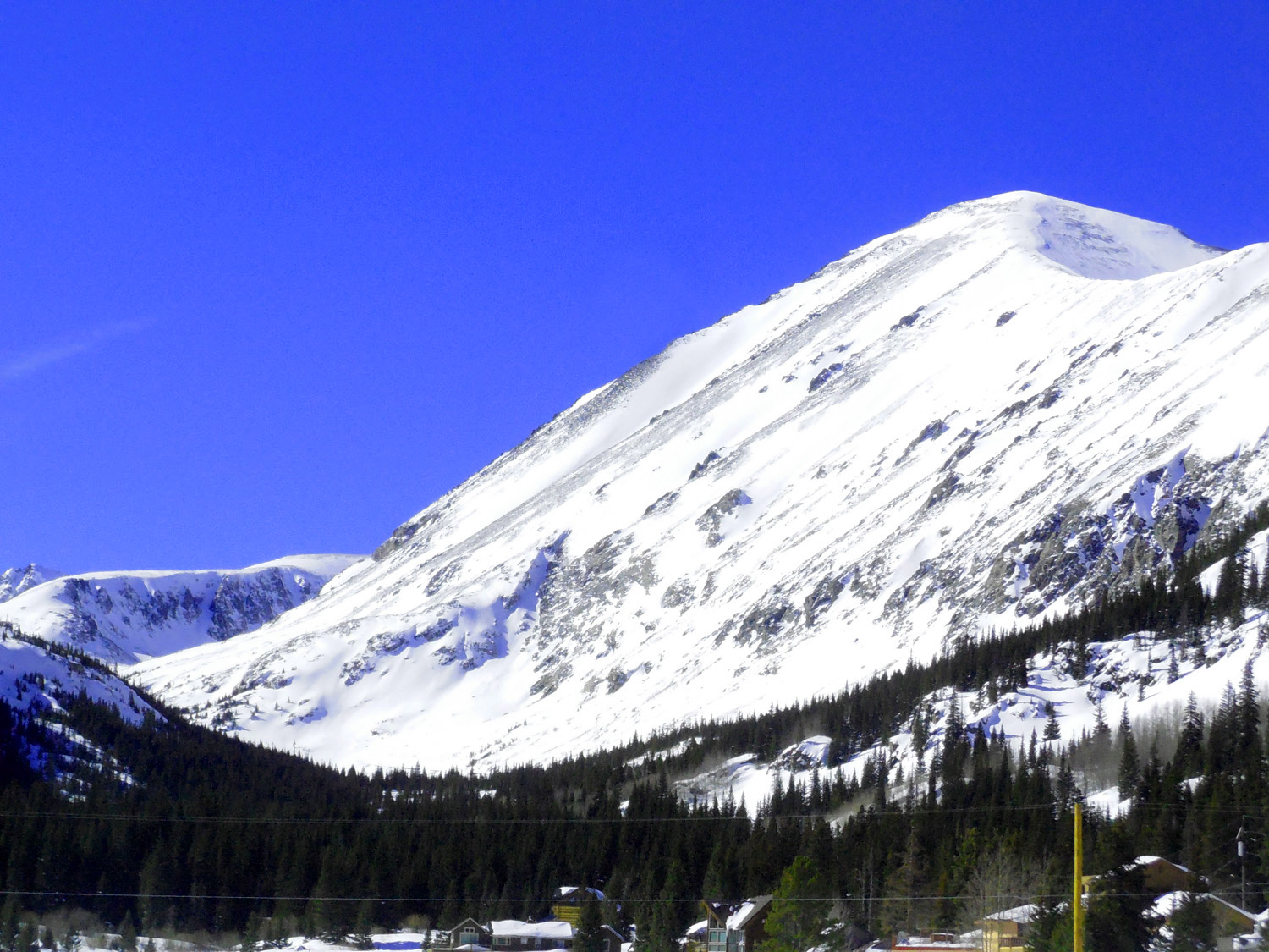
38 / 56 (CO 9)
Mt. Bross (14,172', left) and Mt. Lincoln (14,286', right)
Feb 28 2020 - 2:33 pm
Feb 28 2020 - 2:33 pm
39 / 56 (CO 9)
Mt. Lincoln in February
Feb 28 2020 - 2:33 pm
Feb 28 2020 - 2:33 pm
40 / 56 (CO 9)
Mt. Lincoln in September with rock glacier
Sep 11 2017 - 2:15 pm
Sep 11 2017 - 2:15 pm
41 / 56 (CO 9)
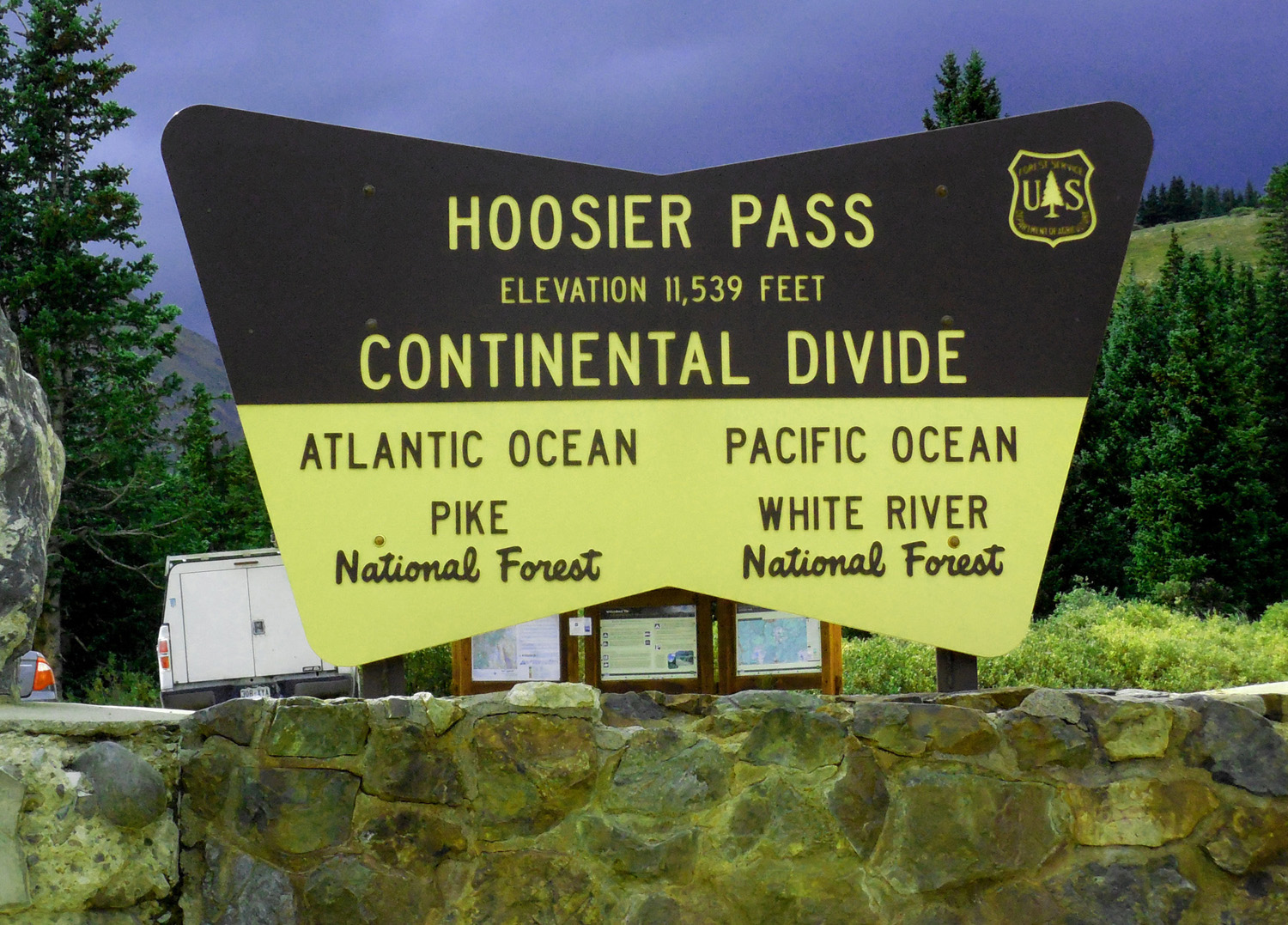
I was raised a Hoosier
Sep 11 2017 - 2:23 pm
Sep 11 2017 - 2:23 pm
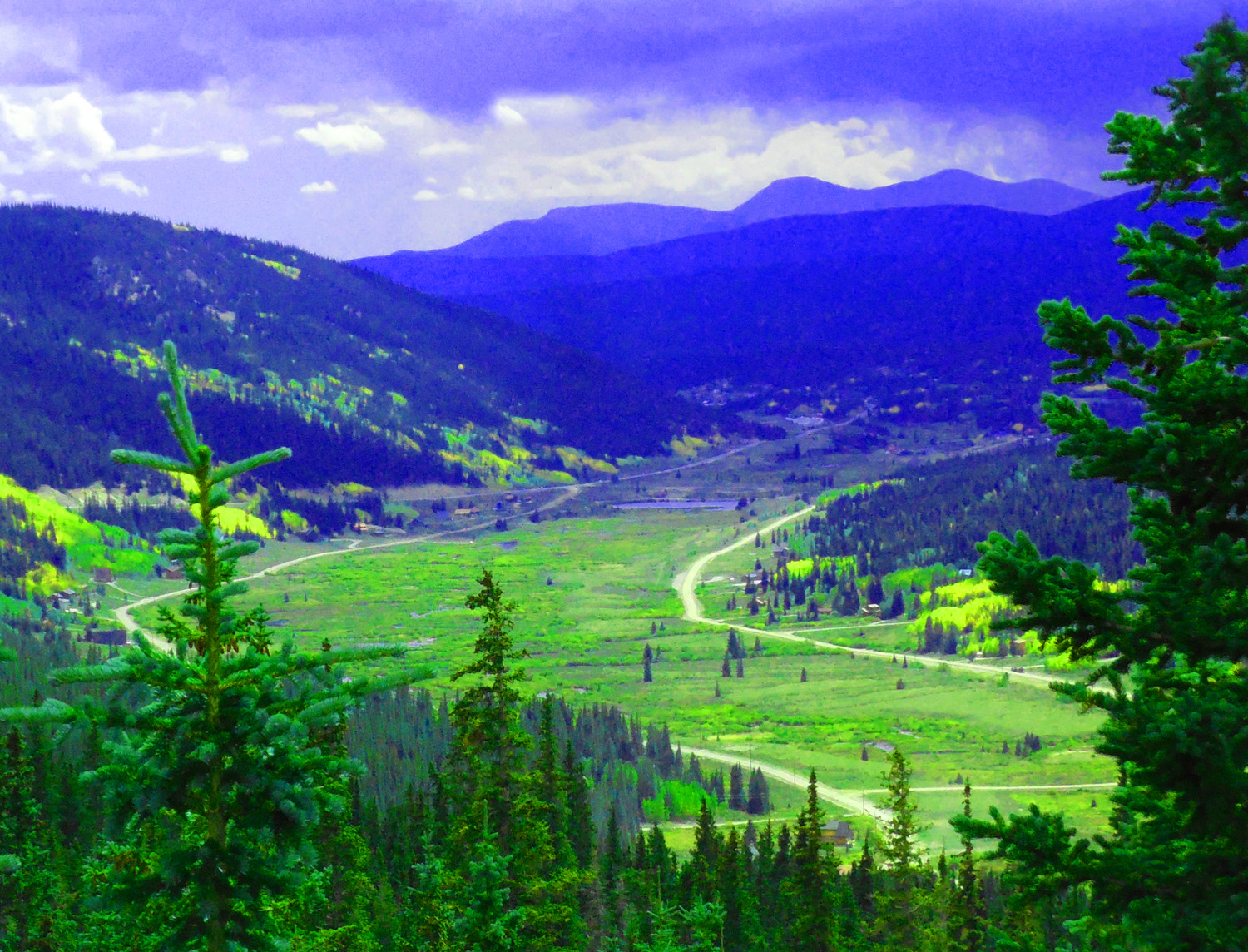
42 / 56 (CO 9)
Middle Fork South Platte River Valley
Sep 11 2017 - 2:16 pm
Sep 11 2017 - 2:16 pm
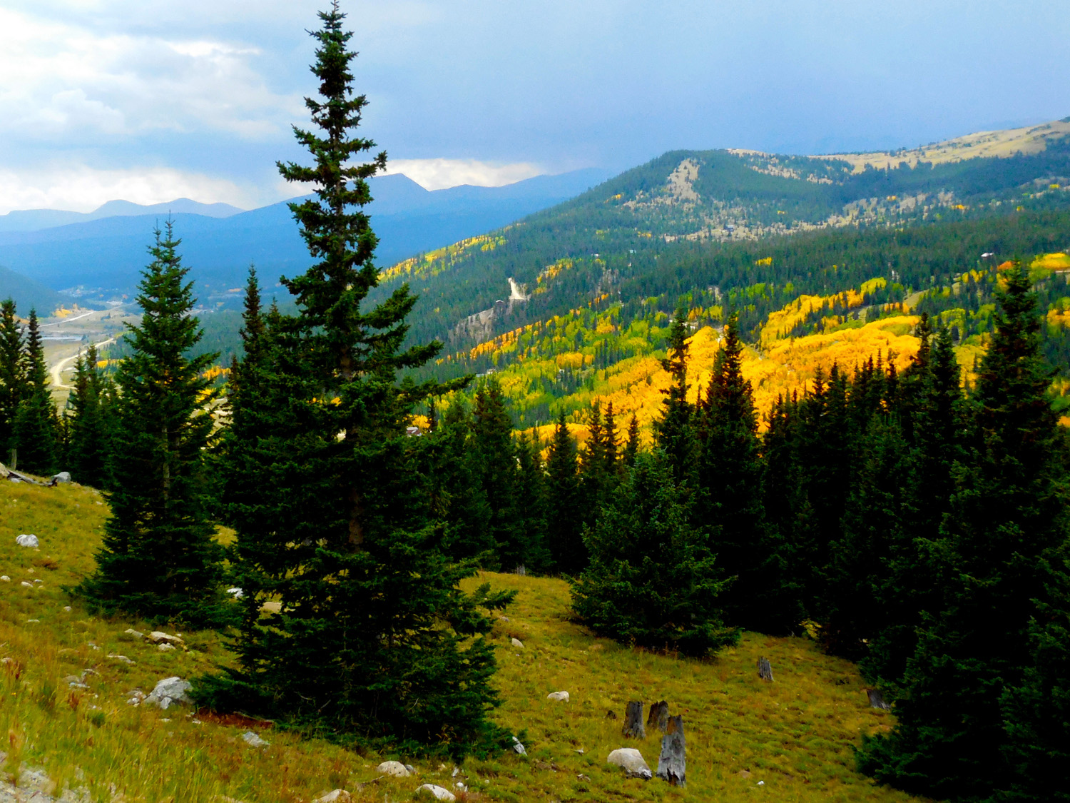
43 / 56 (CO 9)
Aspen starting to turn golden in the Mosquito Range
Sep 11 2017 - 2:14 pm
Sep 11 2017 - 2:14 pm
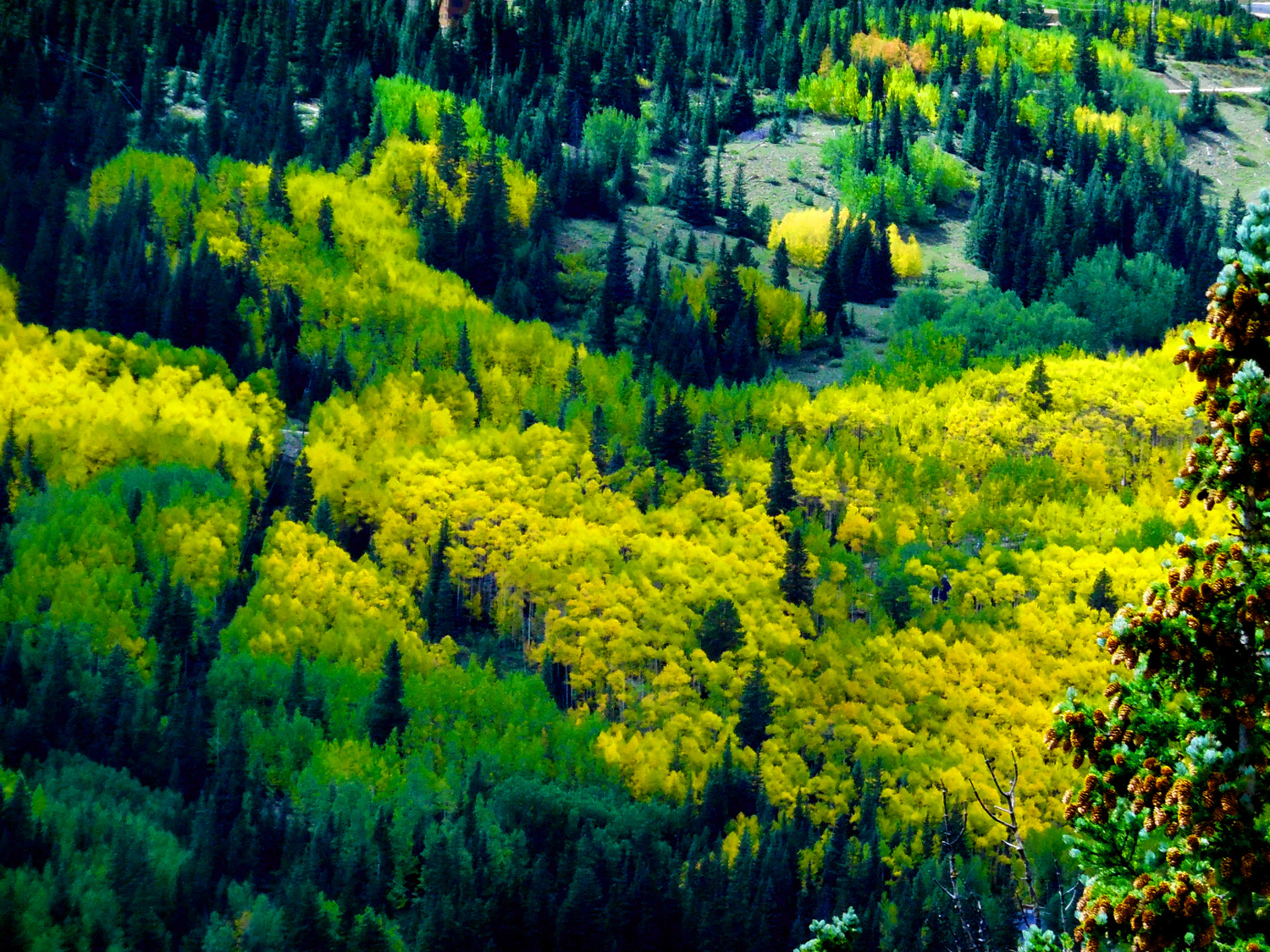
44 / 56 (CO 9)
Colorful Colorado
Sep 11 2017 - 2:09 pm
Sep 11 2017 - 2:09 pm
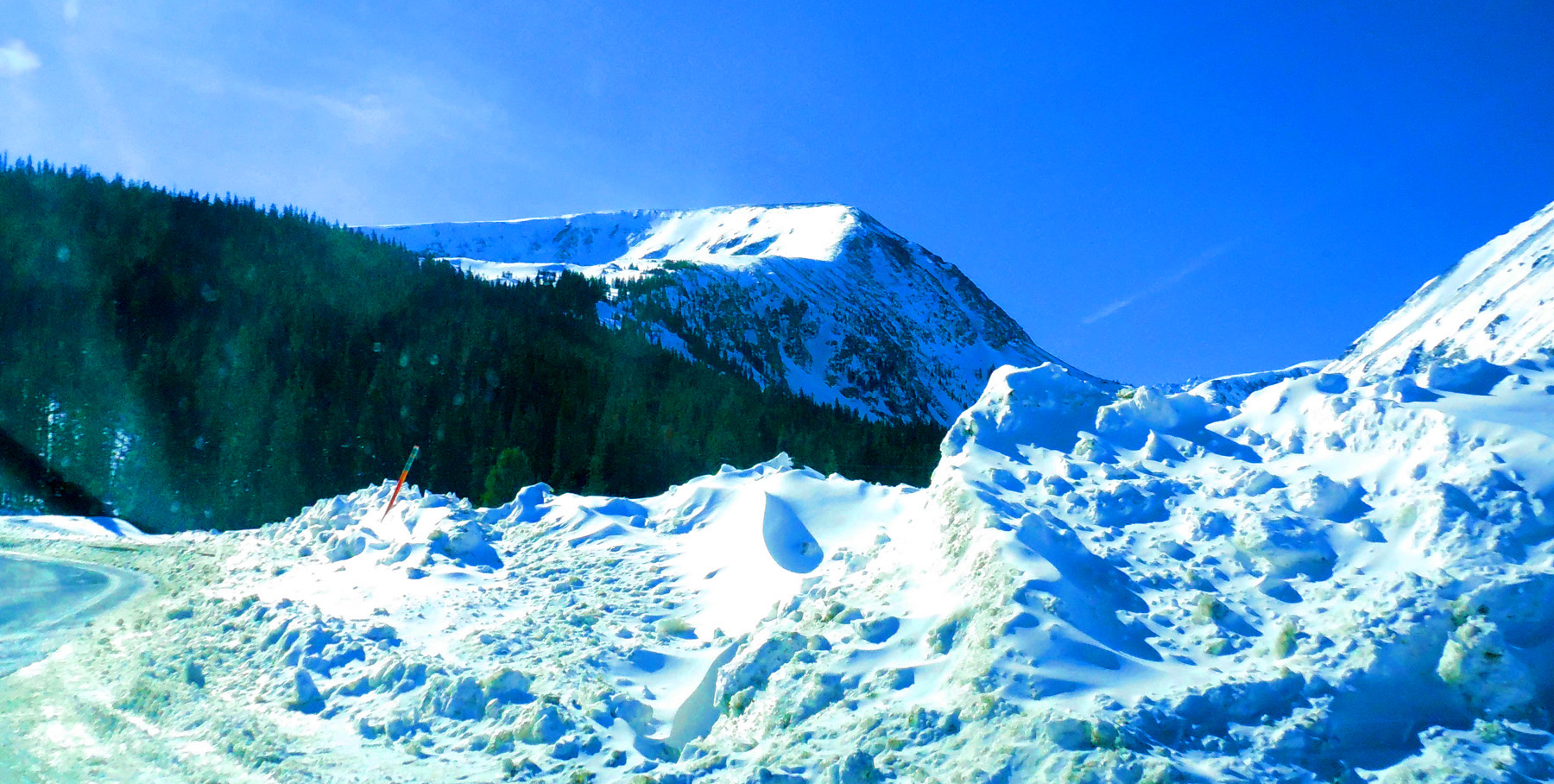
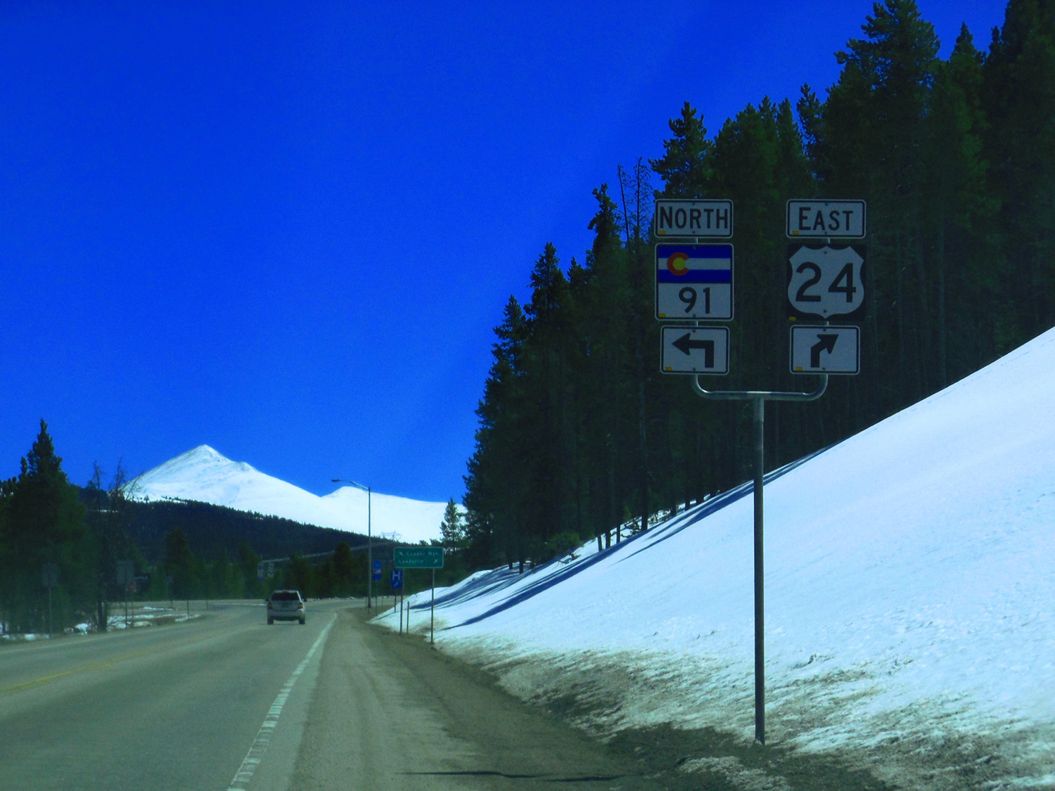
45 / 56 (US 24)
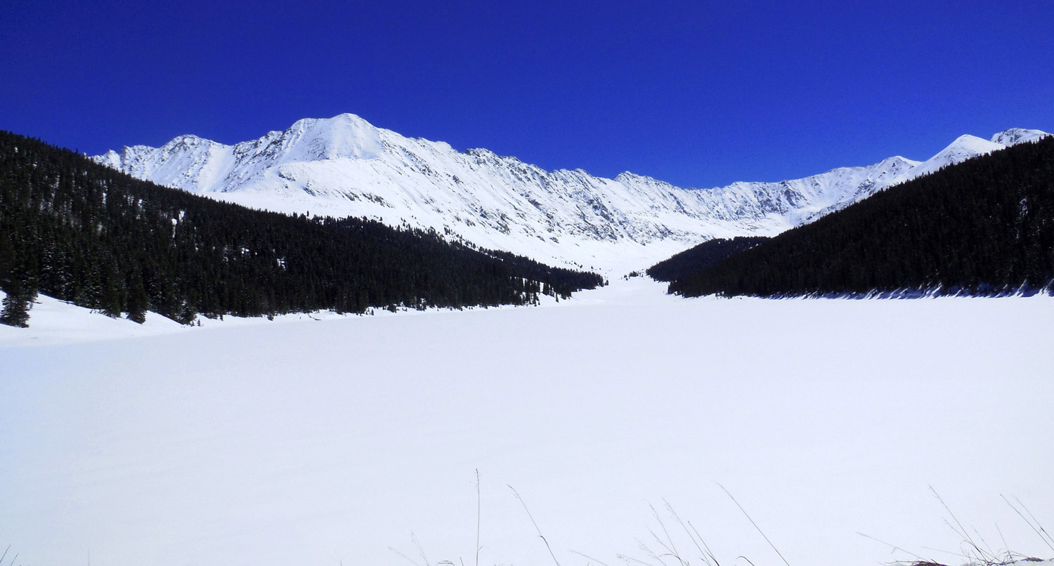
CO 91 over Freemont Pass
Apr 06 2017 - 12:57 pm
Apr 06 2017 - 12:57 pm
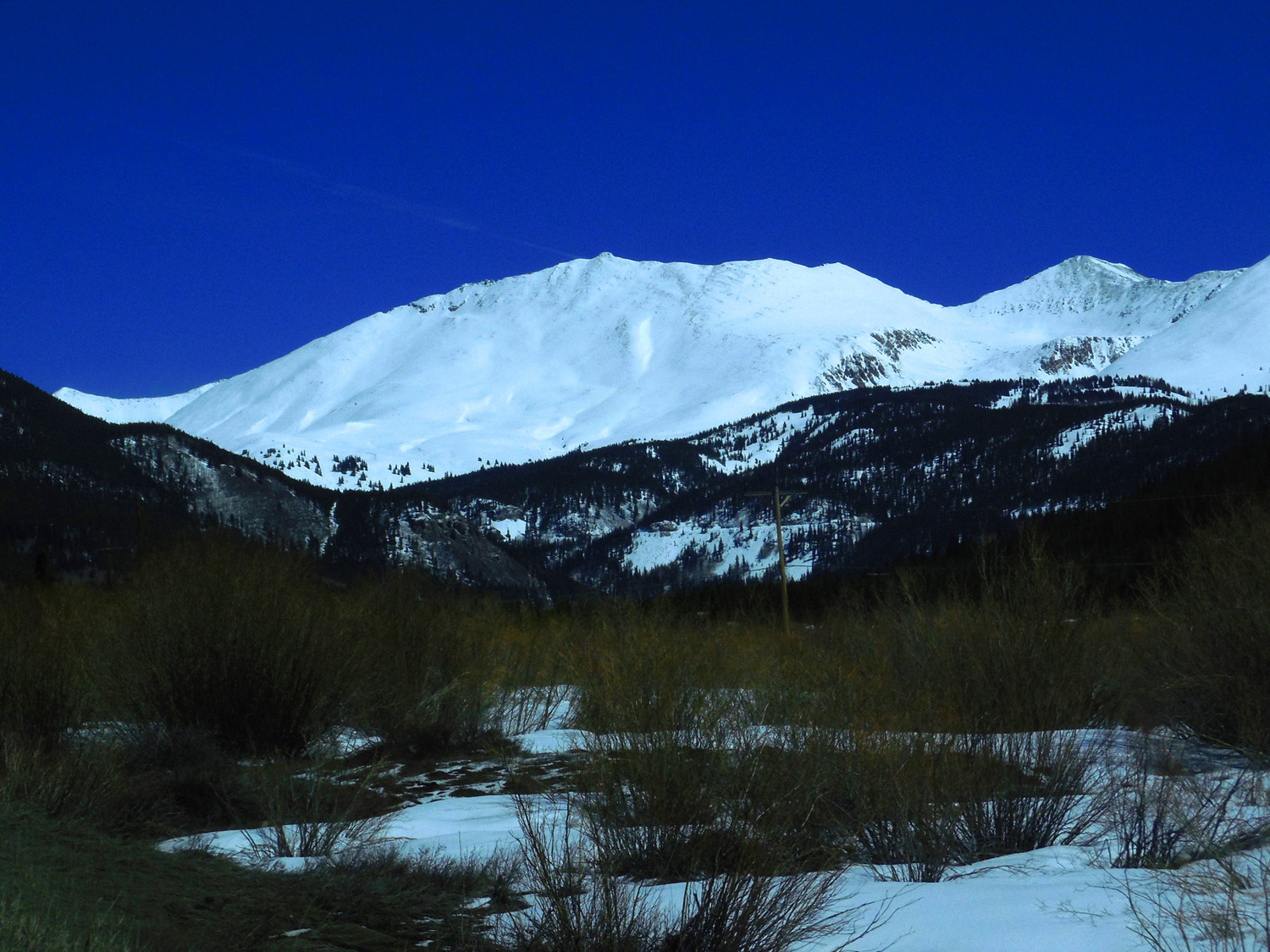
46 / 56 (CO 91)
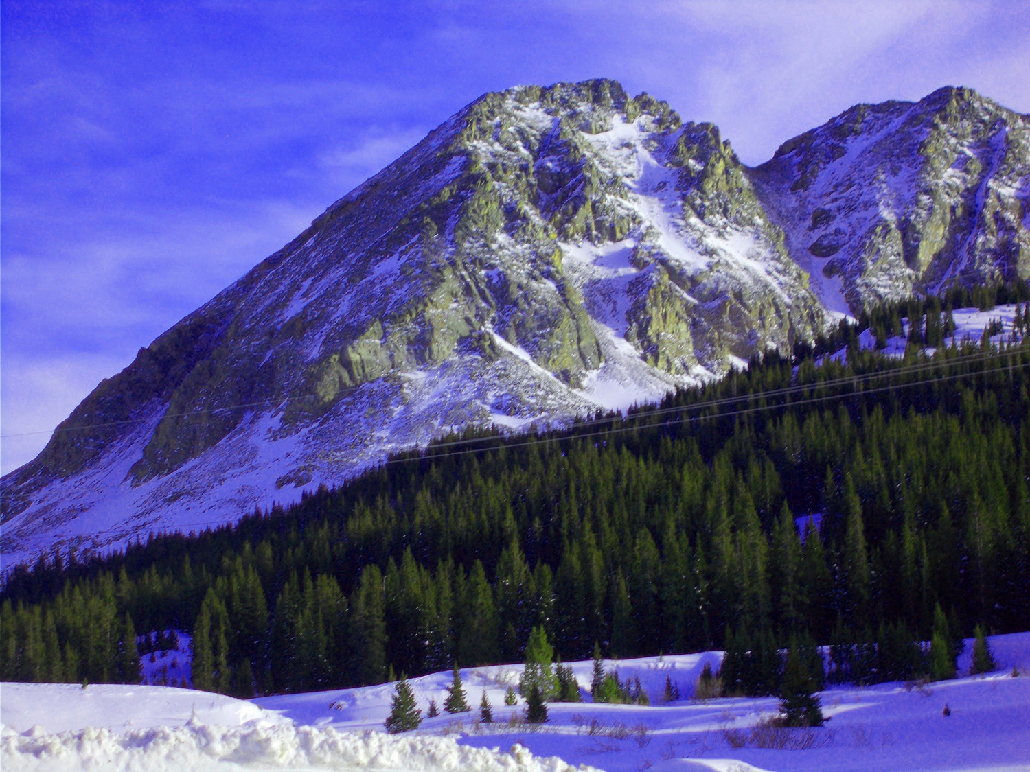
Mt. Arkansas (13,795')
Apr 06 2017 - 1:01 pm
Apr 06 2017 - 1:01 pm
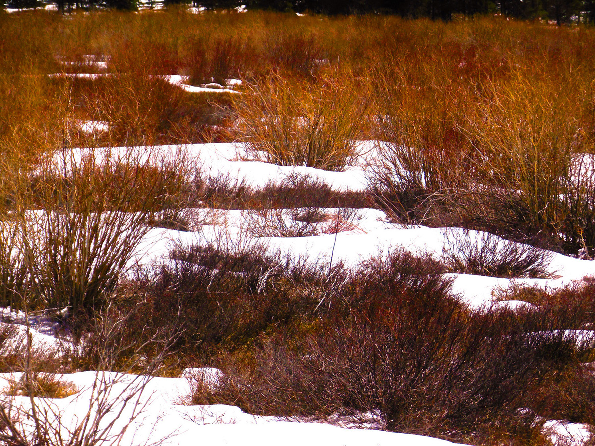
47 / 56 (CO 91)
Vegetation along the upper Arkansas River
Apr 06 2017 - 1:02 pm
Apr 06 2017 - 1:02 pm
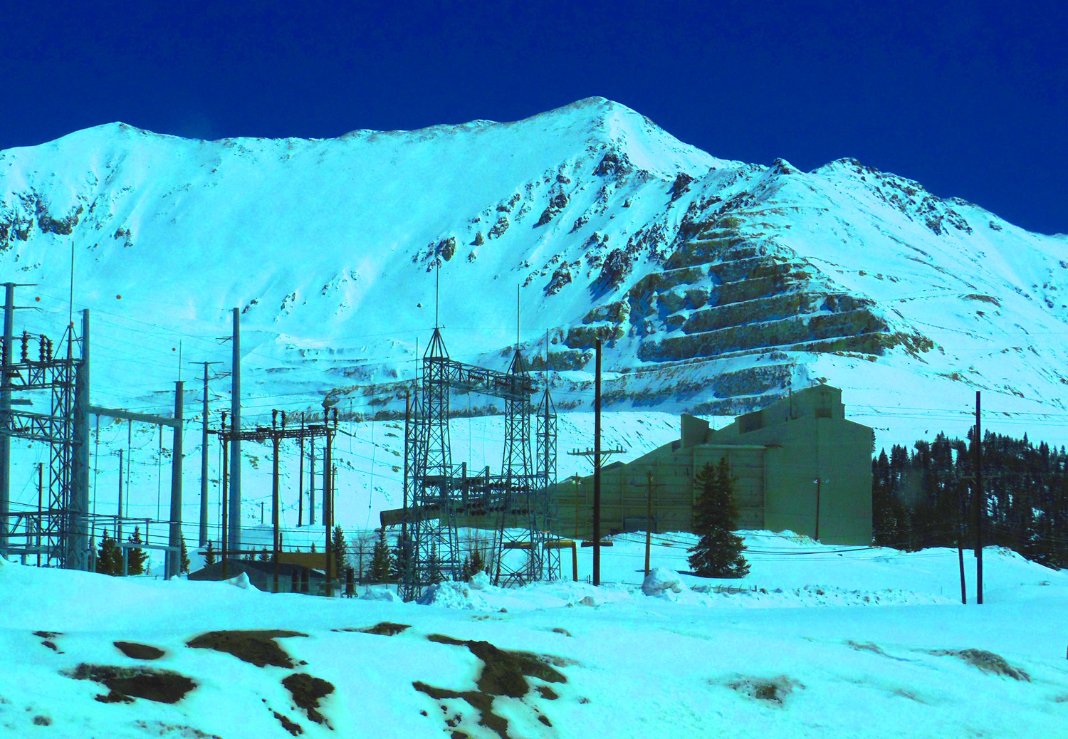
48 / 56 (CO 91)
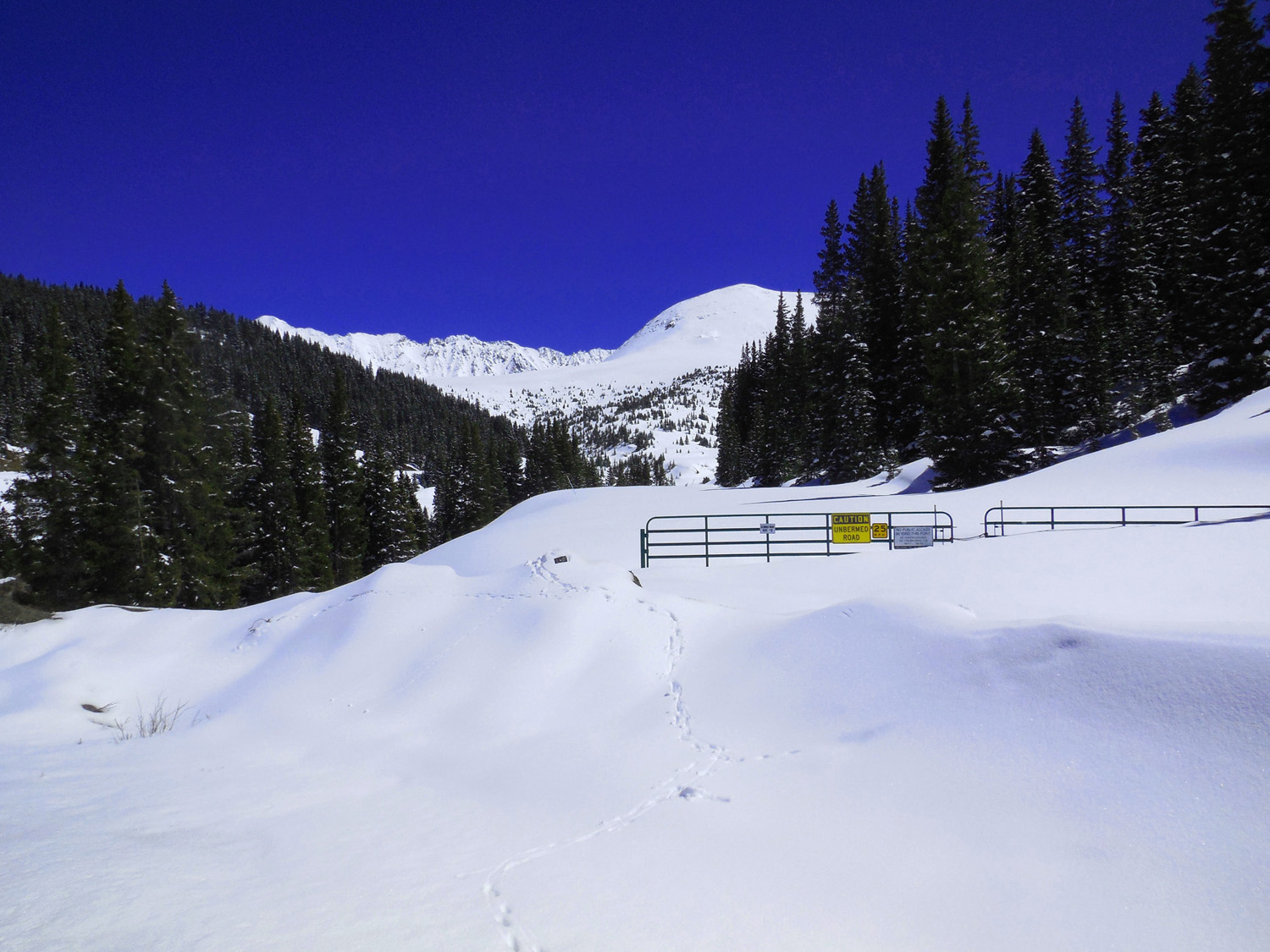
Glory Hole Molydenum Mine, Climax CO
Apr 06 2017 - 1:14 pm
Apr 06 2017 - 1:14 pm
49 / 56 (CO 91)
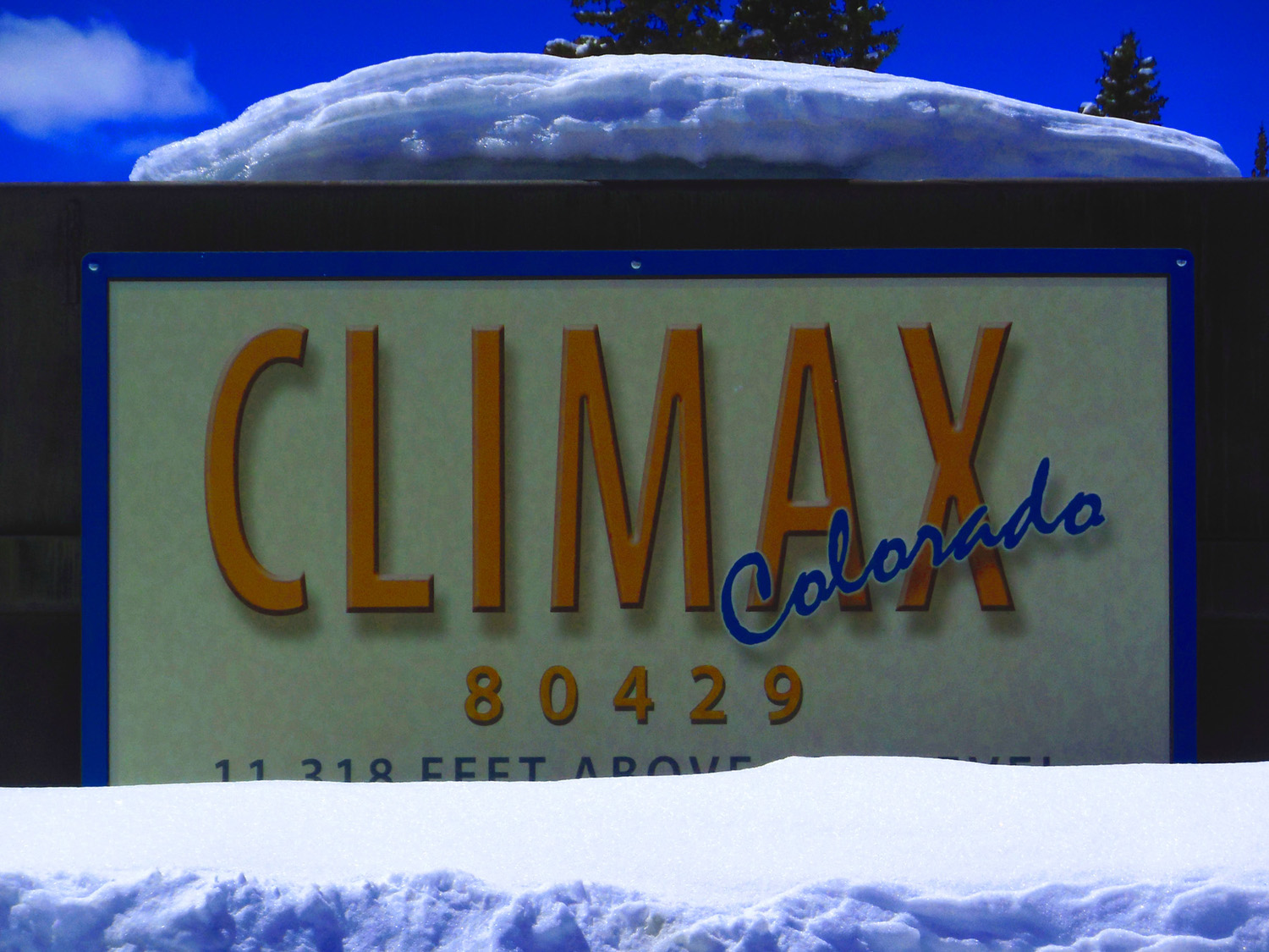
Freemont Pass also 11,318' above sea level
Apr 06 2017 - 1:13 pm
Apr 06 2017 - 1:13 pm
50 / 56 (CO 91)
McNamee Peak (13,790', left) and Mt. Democrat (14,148, right) along the same ridge line (arête)
Apr 06 2017 - 1:23 pm
Apr 06 2017 - 1:23 pm
51 / 56 (CO 91)
Only a possum family on this road
Apr 06 2017 - 1:19 pm
Apr 06 2017 - 1:19 pm
52 / 56 (CO 91)
Crytal Peak (13,852', background), Peak Ten (13,640', foreground)
Feb 28 2020 - 4:37 pm
Feb 28 2020 - 4:37 pm
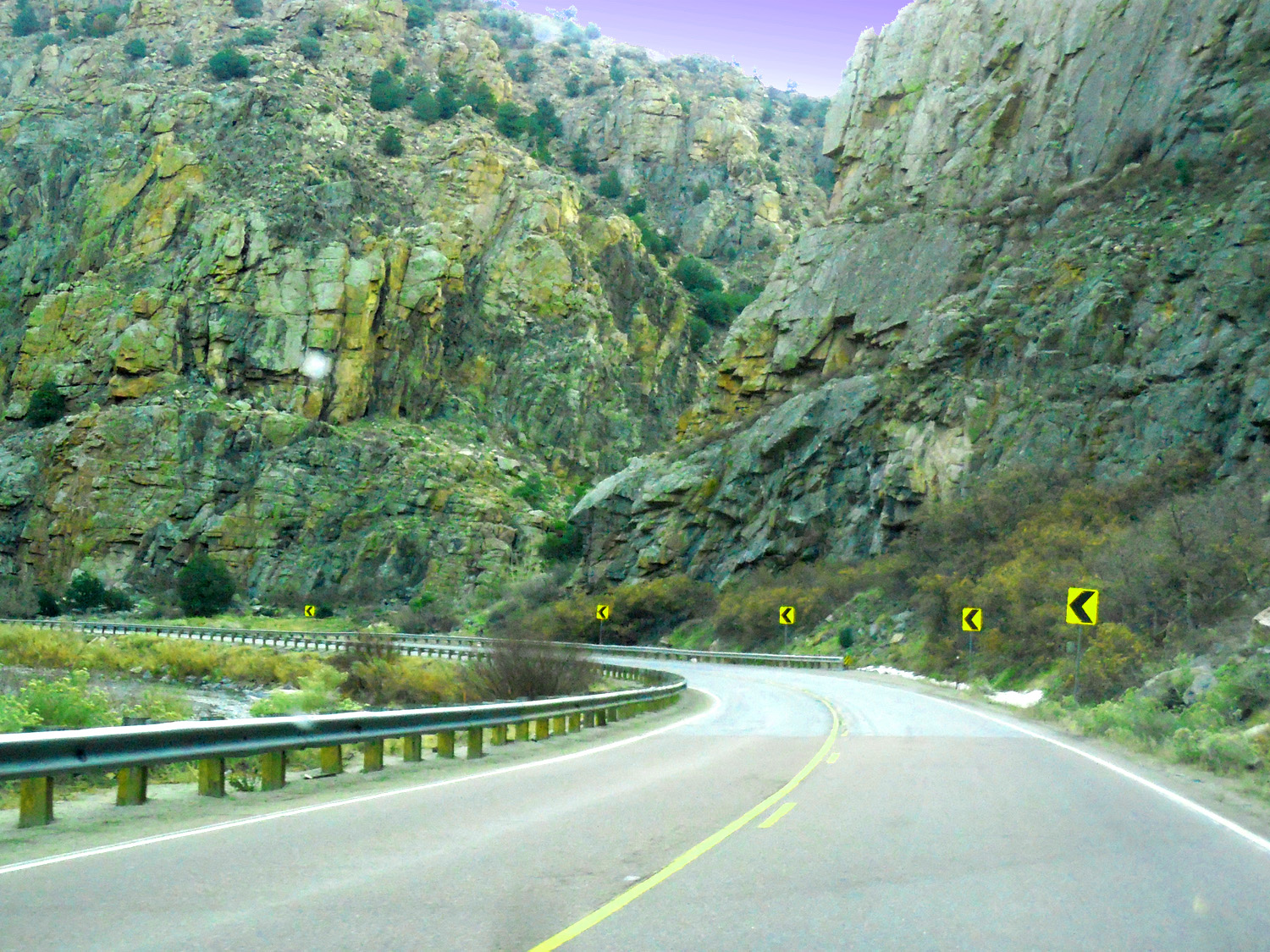
53 / 56 (US 24)
Arkansas River pinned against Mosquito Range Granite at Granite CO
Nov 27 2020 - 2:28 pm
Nov 27 2020 - 2:28 pm
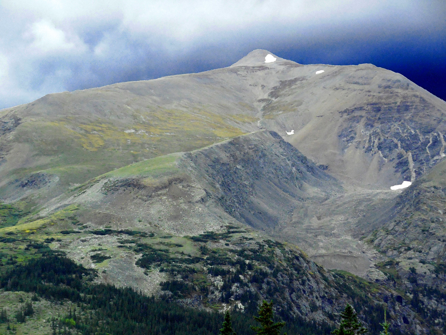
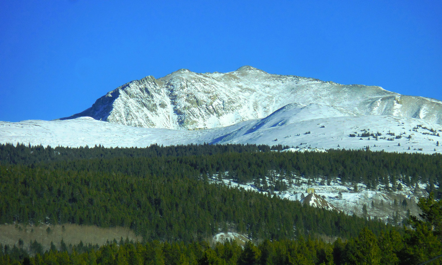
54 / 56 (US 24)
Mt. Sherman (14,035') anchors the south end of the Mosquito Range
Nov 27 2020 - 3:11 pm
Nov 27 2020 - 3:11 pm
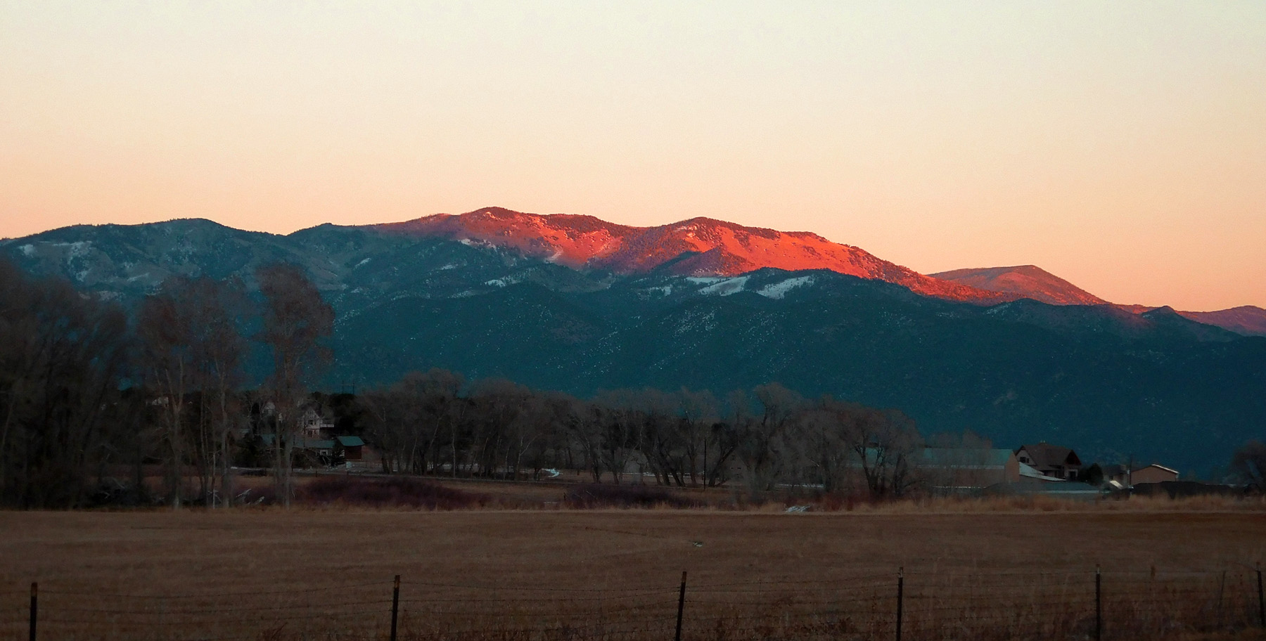
55 / 56 (US 50)
South end of the Mosquito Range in evening light
Dec 07 2020 - 4:43 pm
Dec 07 2020 - 4:43 pm
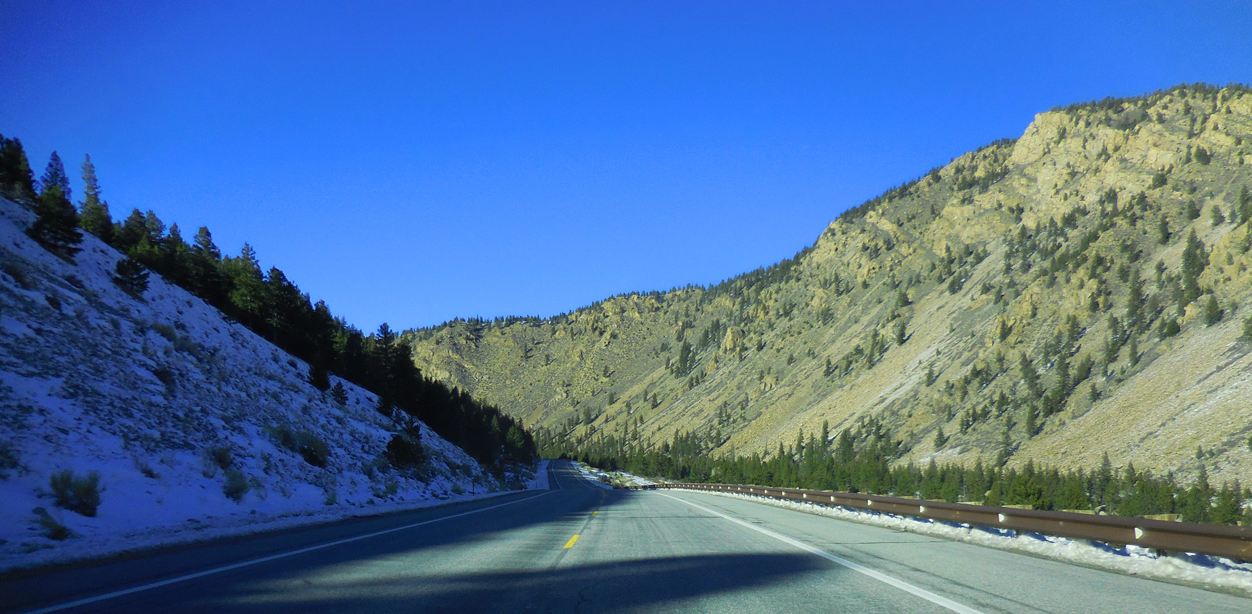
56 / 56 (US 50)
Arkansas River Canyon through the south end of the Mosquito Range
Nov 06 2020 - 9:34 am
Nov 06 2020 - 9:34 am