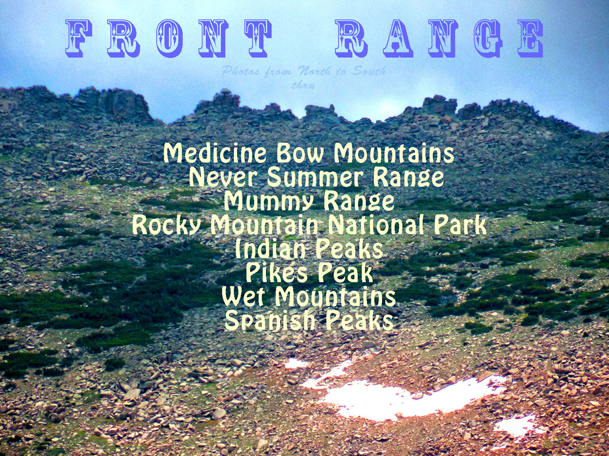
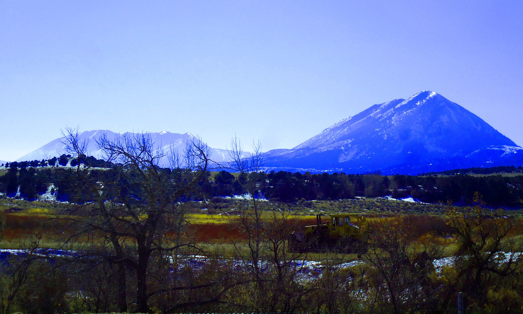
65 Photos north to south
Jul 01 2013 - 12:47 pm
Mountain Index 1 minute cycle, please choose another: user controlled 2 seconds 5 seconds 10 seconds 30 seconds
1 / 65 (US 34)
2 / 65 (WY 130)
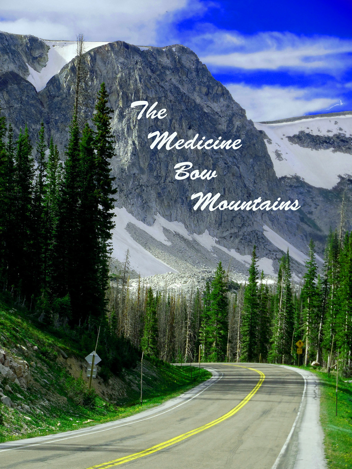
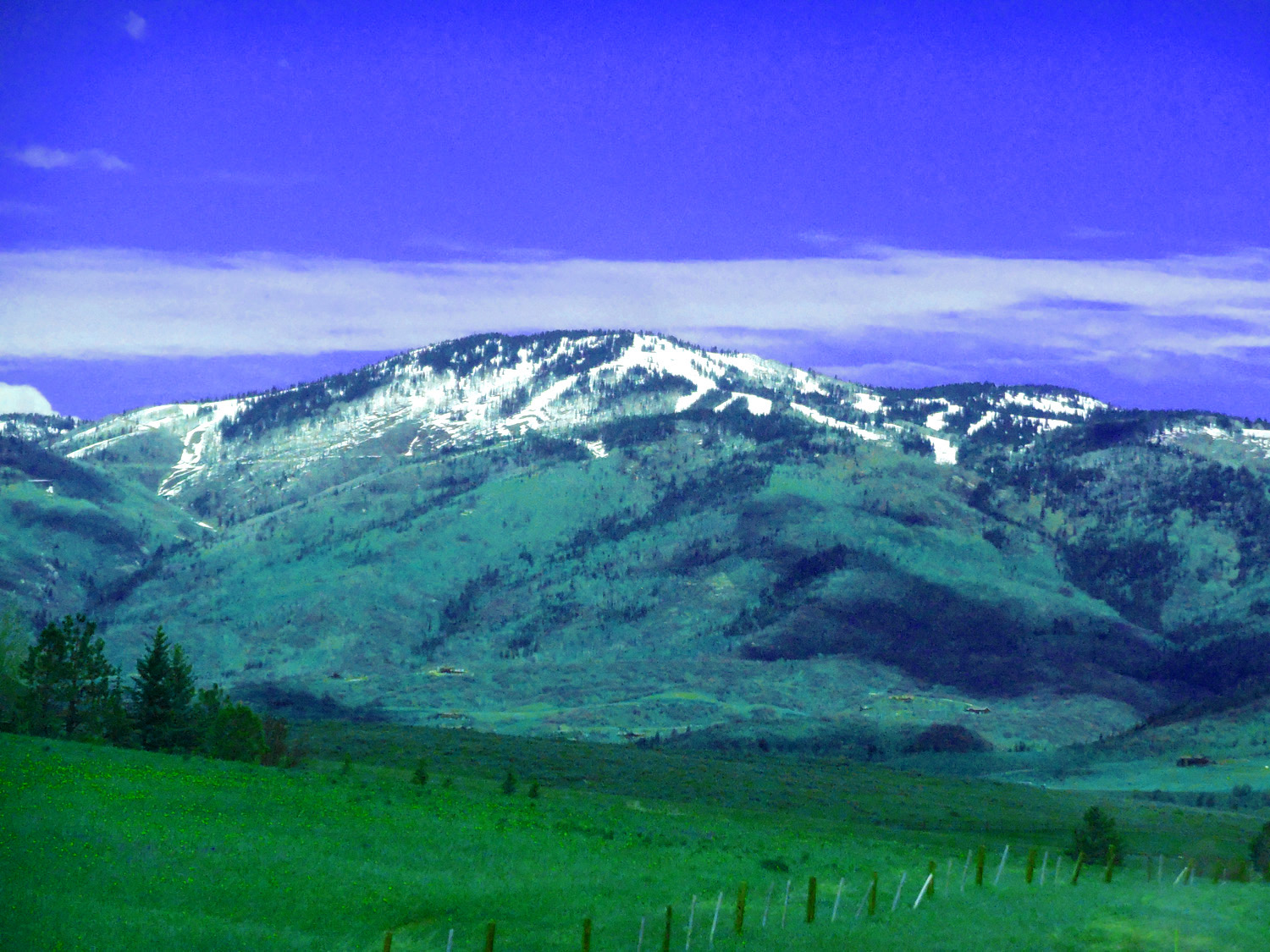
Snowy Range
Jun 29 2013 - 3:48 pm
Jun 29 2013 - 3:48 pm
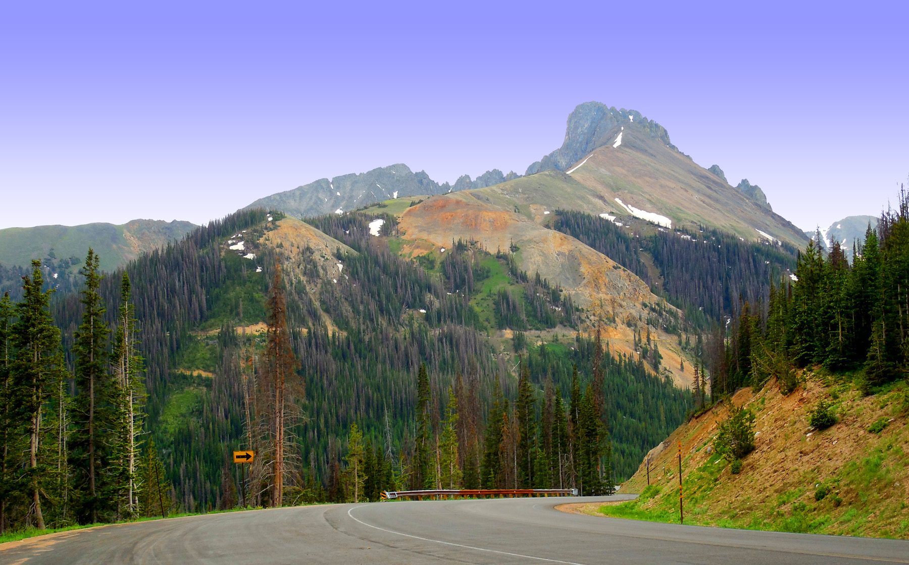
3 / 65 (WY 130)
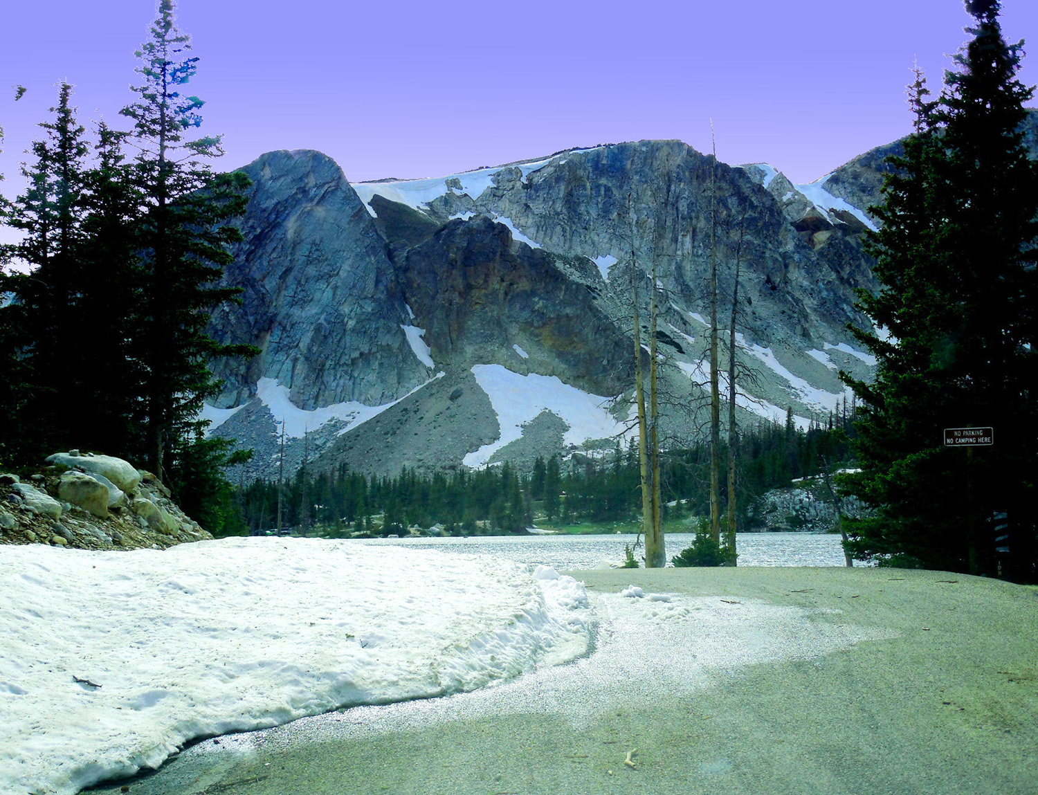
Almost first car after the snow cleared to Lake Marie
Jun 29 2013 - 4:12 pm
Jun 29 2013 - 4:12 pm
4 / 65 (WY 130)
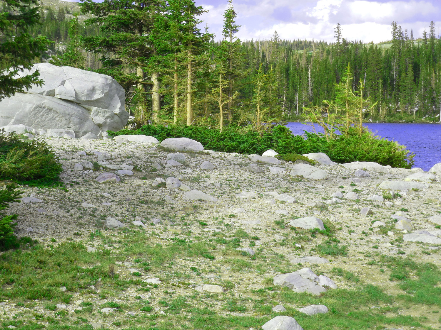
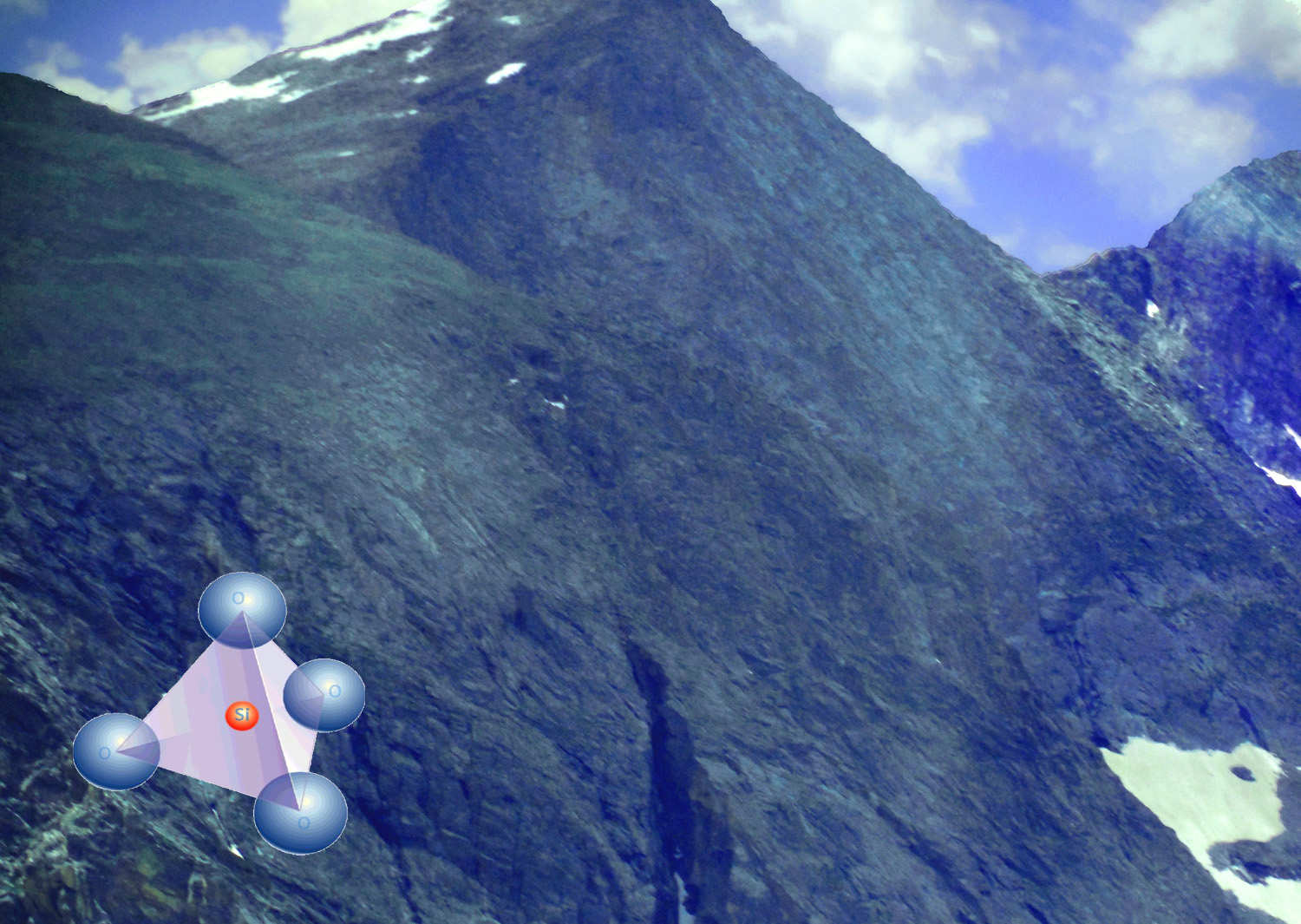
White Medicine Bow Quartzite composing the Snowy Range
Jun 29 2013 - 4:37 pm
Jun 29 2013 - 4:37 pm
5 / 65 (WY 130)
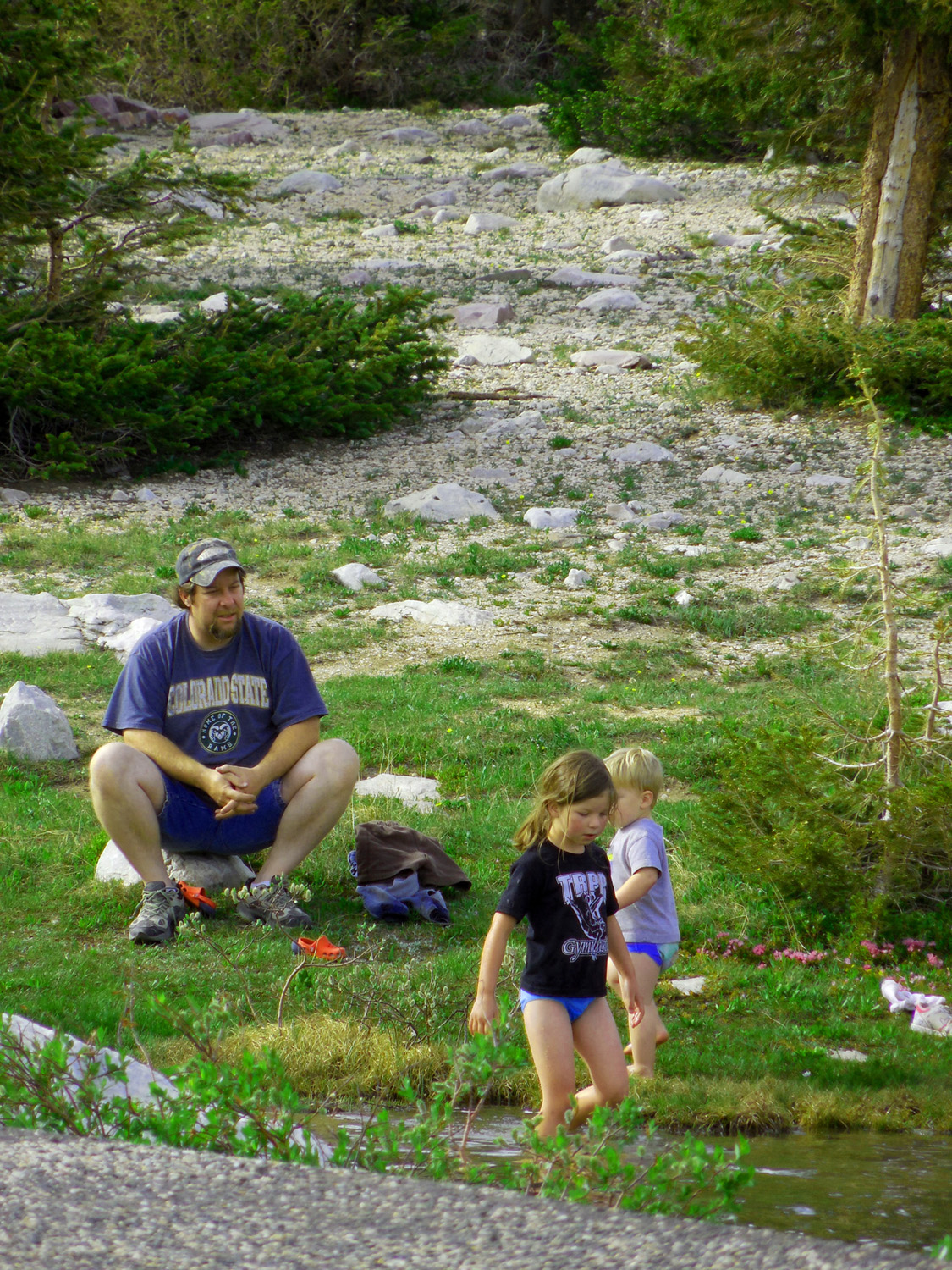
Brrrrr.... that's cold, Dad
Jun 29 2013 - 4:14 pm
Jun 29 2013 - 4:14 pm
6 / 65 (WY 130)
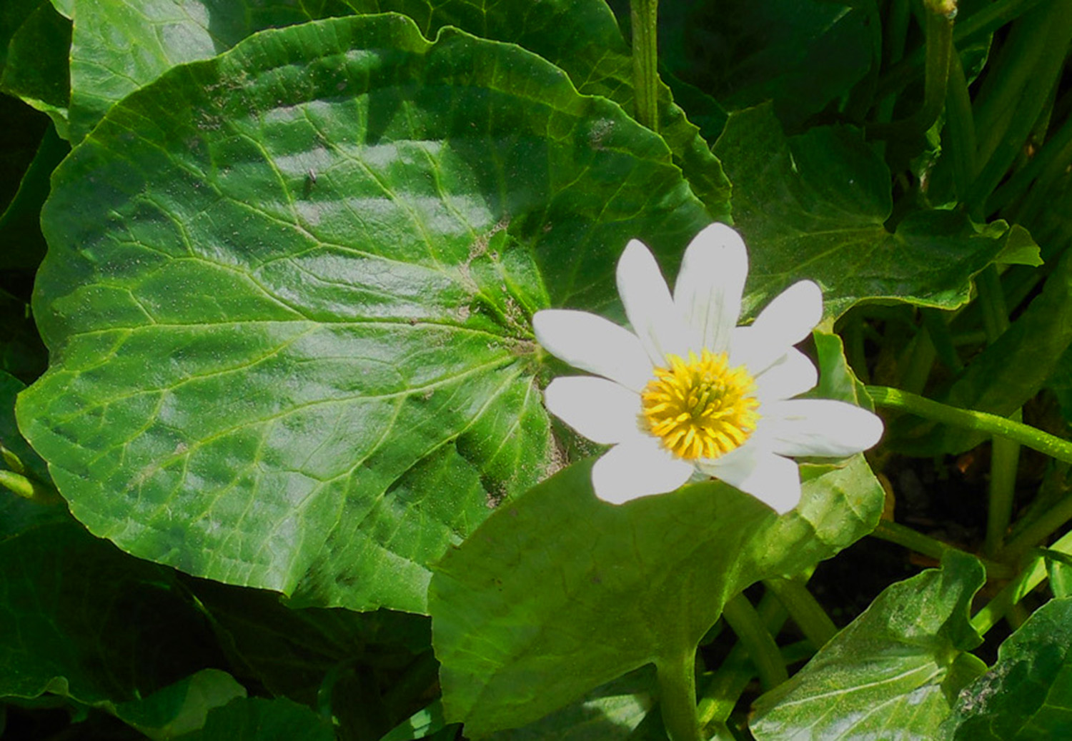
Marsh Marigold, first flower after the snow melts
Jun 29 2013 - 4:15 pm
Jun 29 2013 - 4:15 pm
7 / 65 (WY 130)
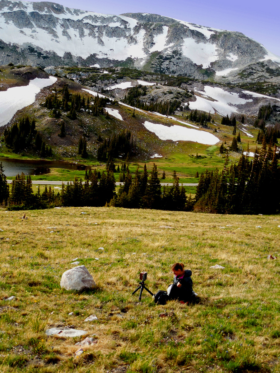
Serious Photographer, as opposed to these photos
Jun 29 2013 - 4:48 pm
Jun 29 2013 - 4:48 pm
8 / 65 (WY 130)
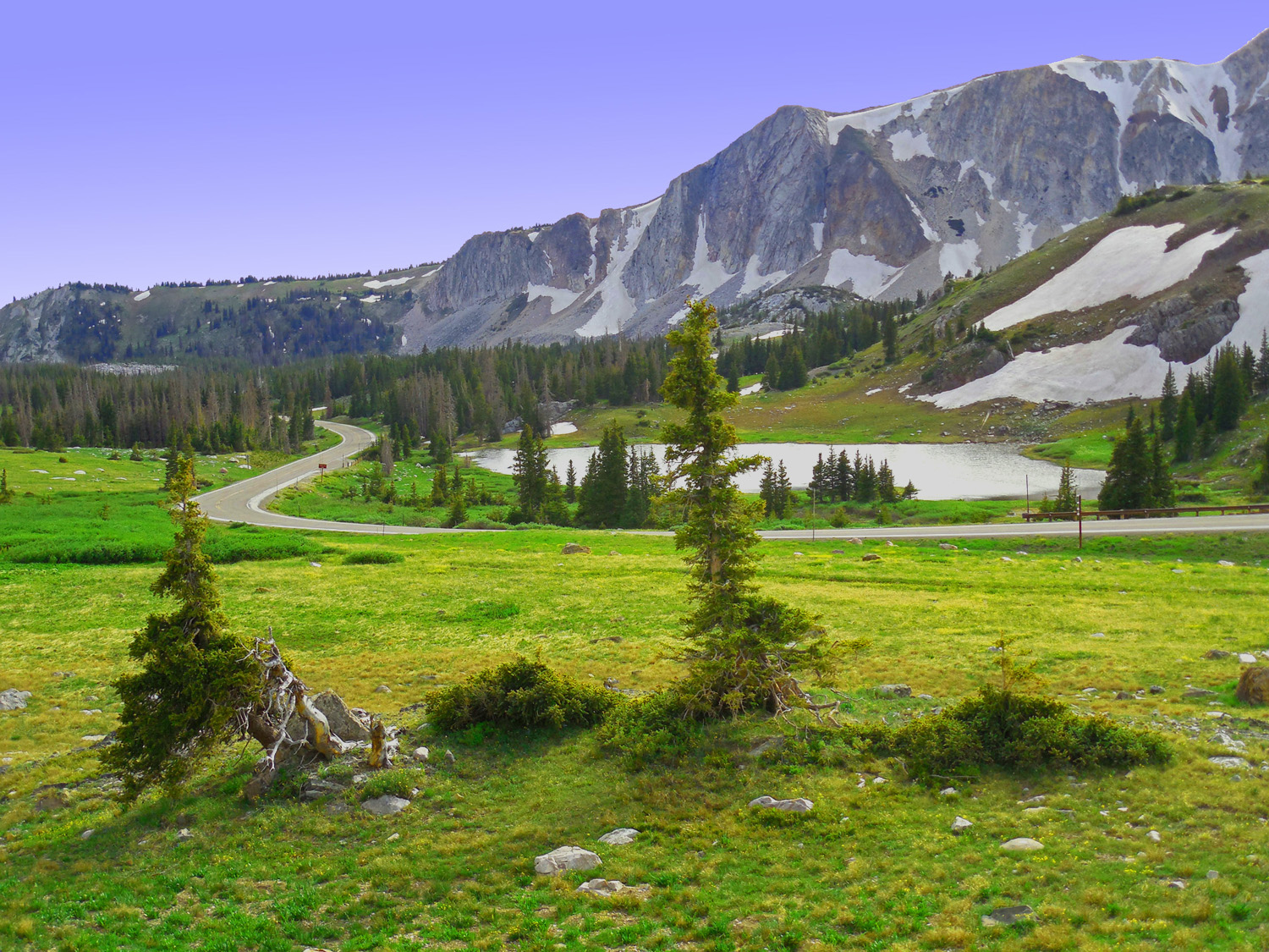
WY 130 winding past a mountain tarn near timberline
Jun 29 2013 - 4:44 pm
Jun 29 2013 - 4:44 pm
9 / 65 (CO 14)
Nokhu Crags
Jun 30 2013 - 1:53 pm
Jun 30 2013 - 1:53 pm
10 / 65 (CO 14)
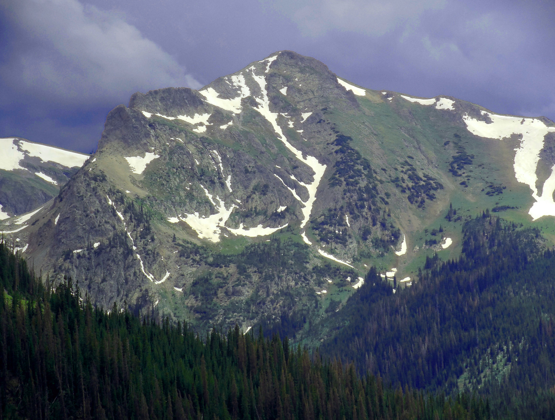
Mt. Richthofen (12,940') anchoring the north end of the Never Summer Range
Jun 30 2013 - 2:01 pm
Jun 30 2013 - 2:01 pm
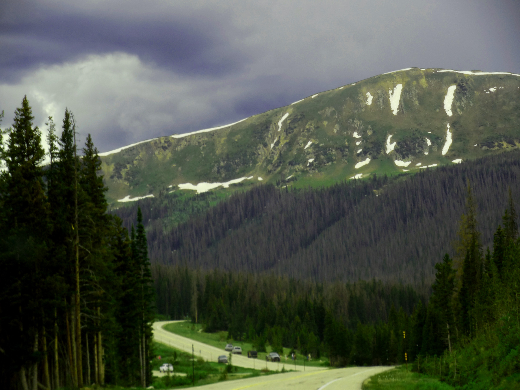
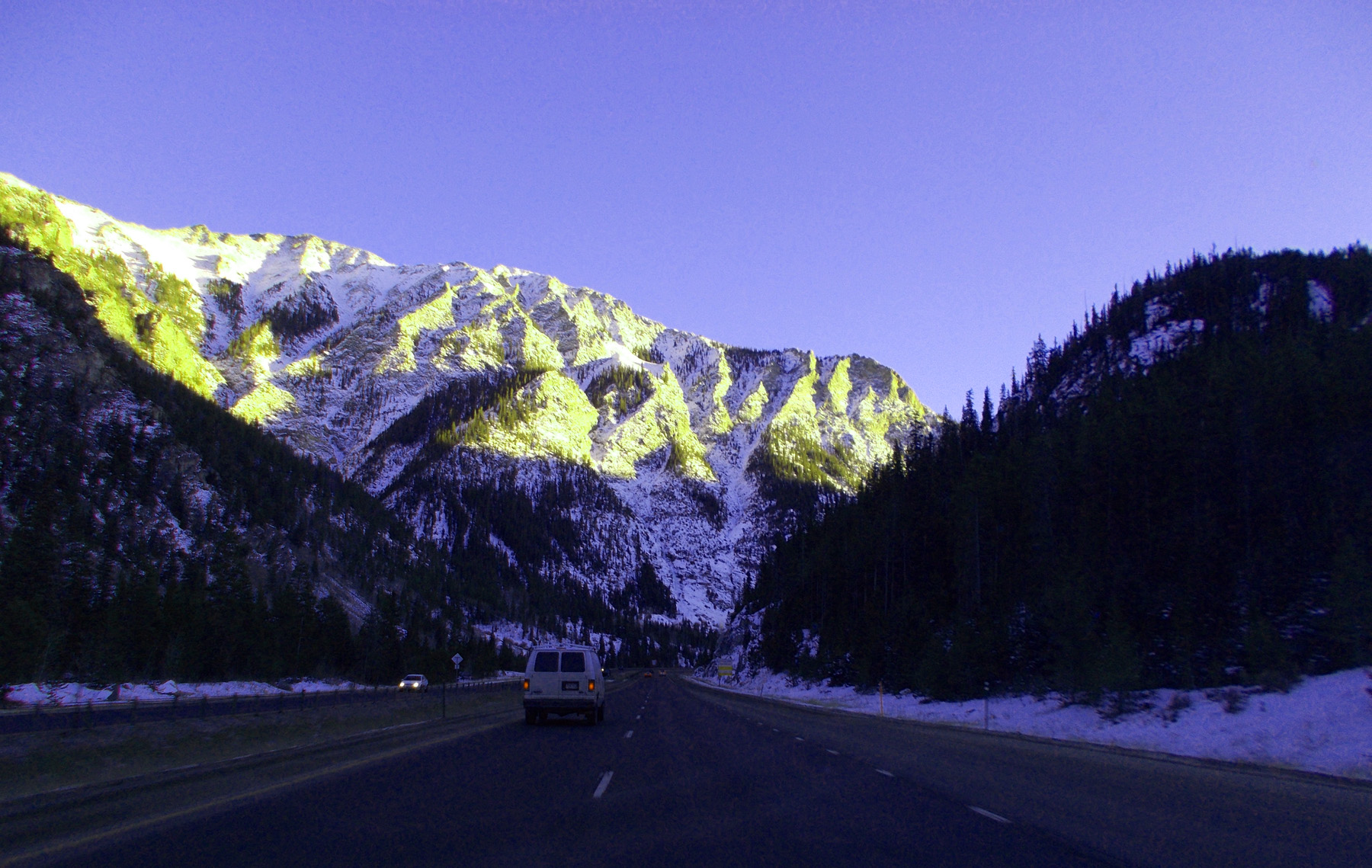
11 / 65 (US 34)
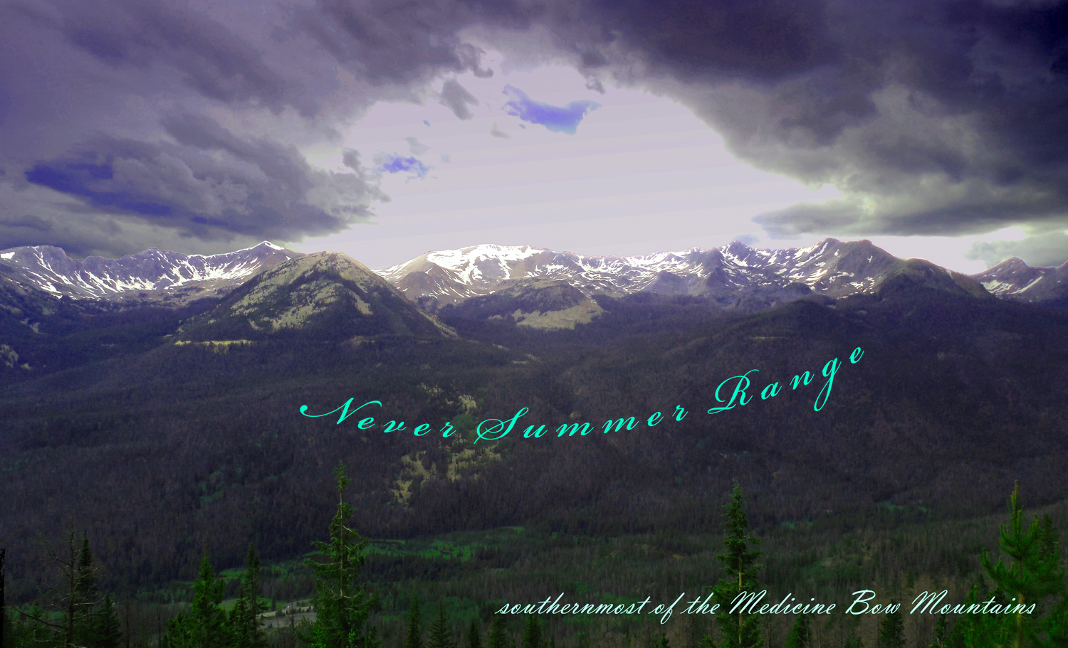
Never Summer Range
Jun 30 2013 - 4:56 pm
Jun 30 2013 - 4:56 pm
12 / 65 (US 34)
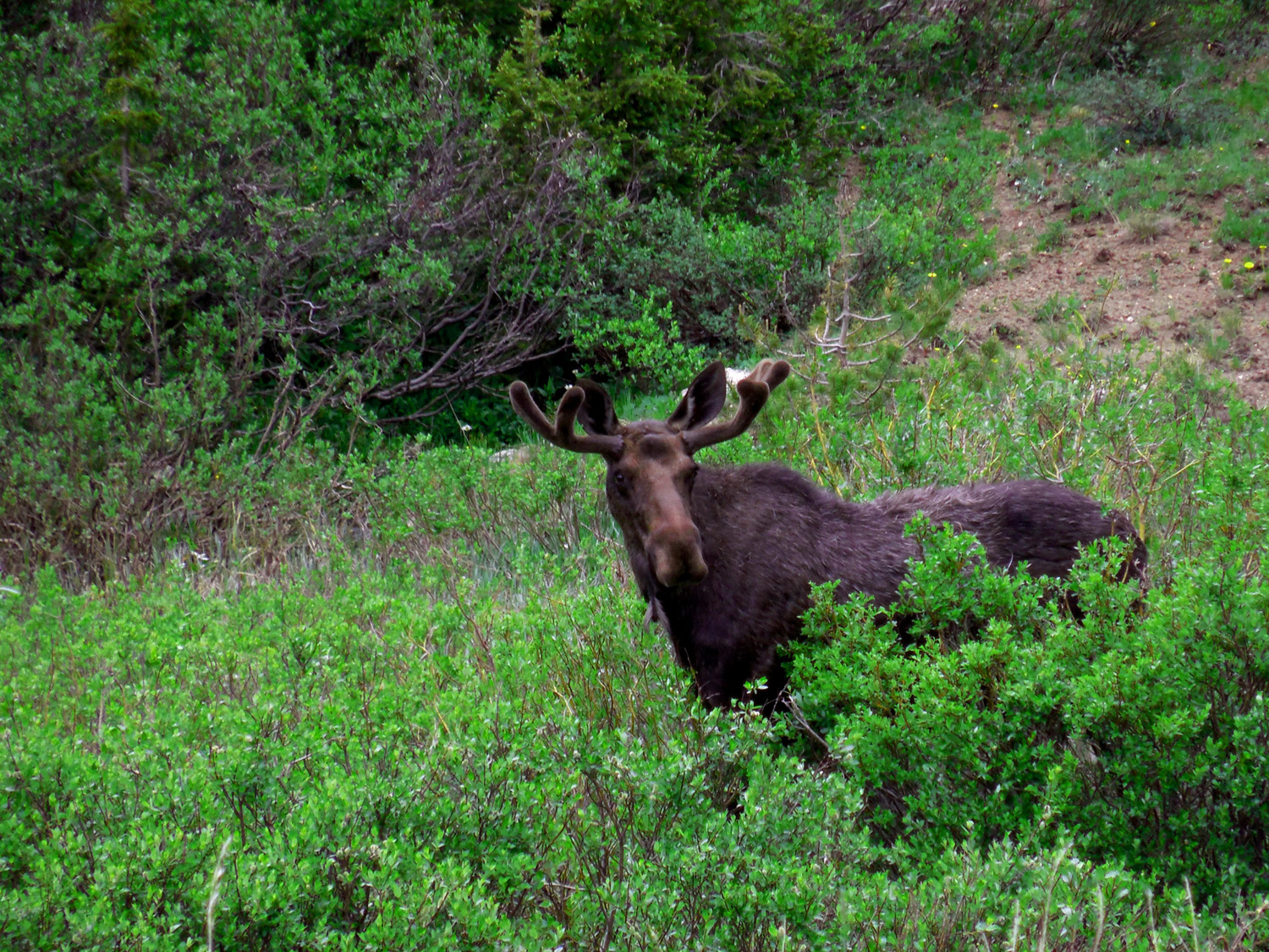
Nonchalant moose backed up traffic a quarter mile (still munching when we got there)
Jun 30 2013 - 1:39 pm
Jun 30 2013 - 1:39 pm
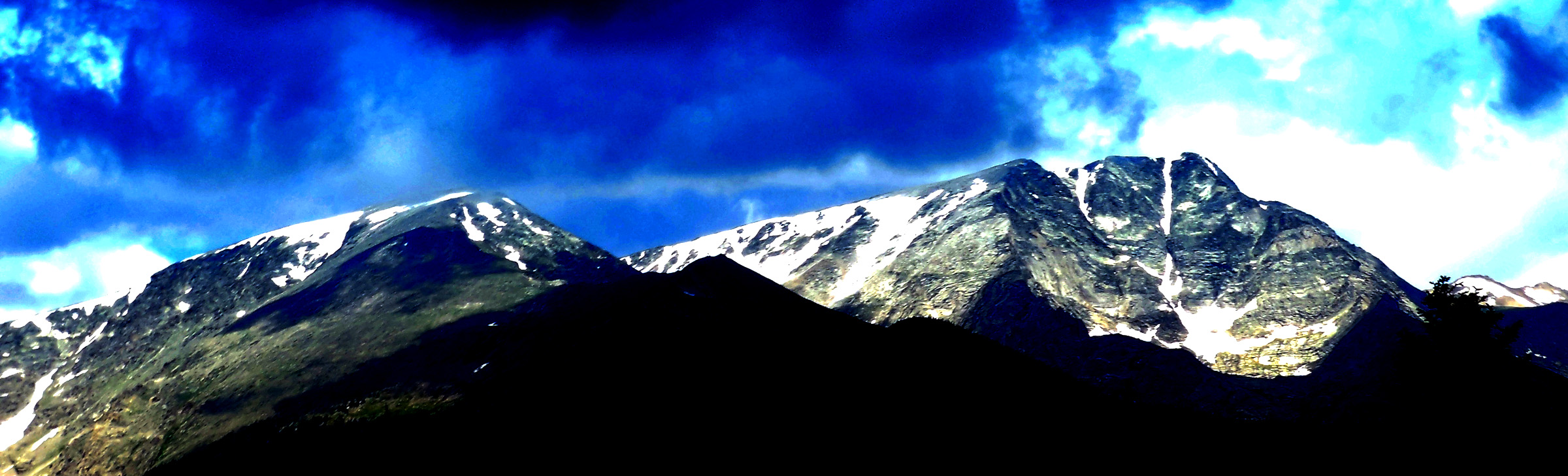
13 / 65 (CO 134)
Parkview Mounatian (12,296'), highest peak in the Rabbit Ears Range
May 20 2020 - 1:50 pm
May 20 2020 - 1:50 pm
14 / 65 (CO 125)
Comanche Peak (12,702'), northernmost peak of the Mummy Range
Jun 30 2013 - 1:37 pm
Jun 30 2013 - 1:37 pm
15 / 65 (US 34)
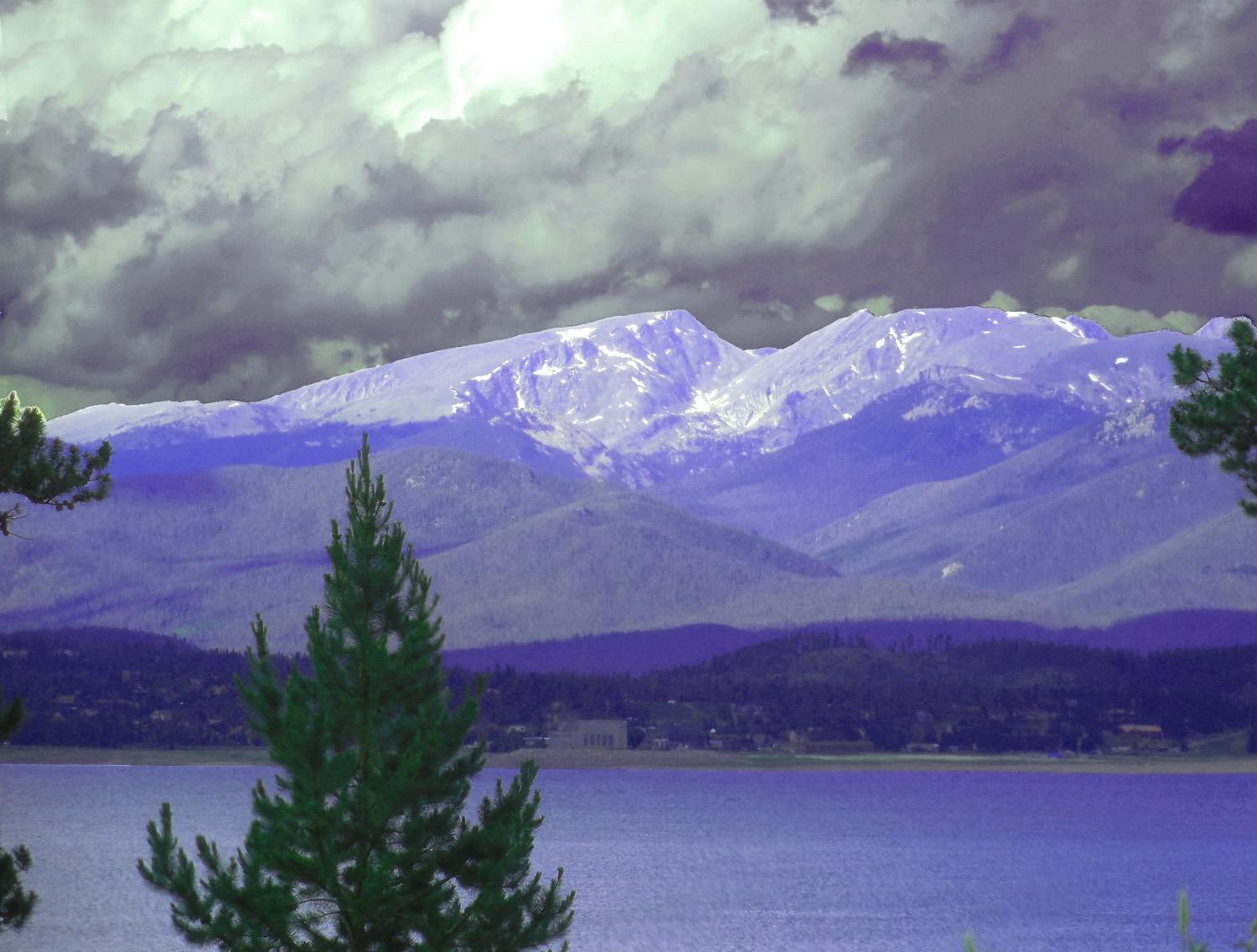
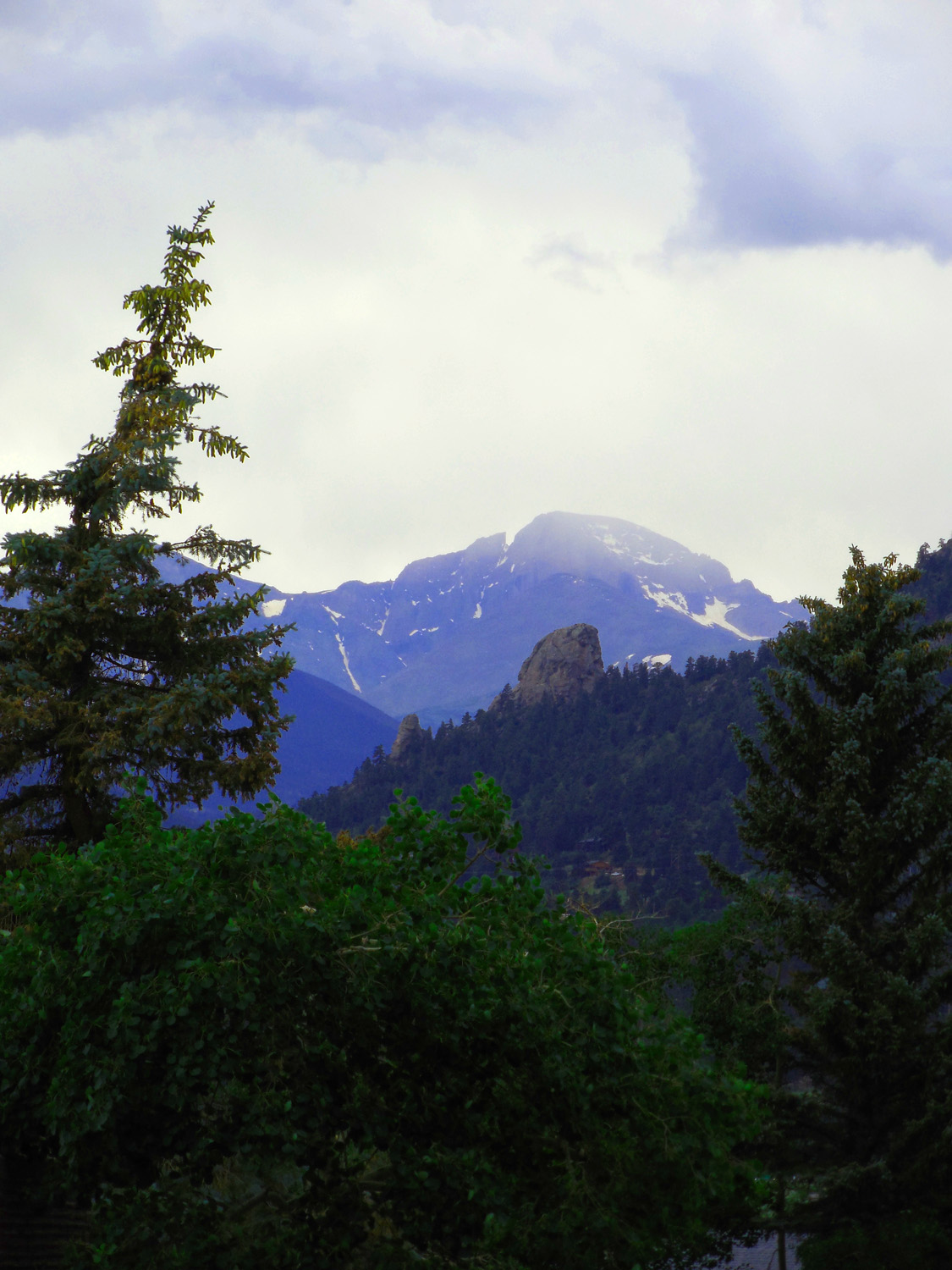
Mummy Range in Rocky Mountain National Park (from left) Mt. Chapin (12,454'), Mt. Chiquita (13,069'), Ypsilon Mountain (13,514'), Fairchild Mountain (13,502'), and Hagues Peak (13,560', at far right)
Hagues Peak was the first of my 103 ascents of Colorado mountains over 12,000', more than 90 at Cheley Camps as a teenager
Jul 01 2013 - 11:53 am
Hagues Peak was the first of my 103 ascents of Colorado mountains over 12,000', more than 90 at Cheley Camps as a teenager
Jul 01 2013 - 11:53 am
16 / 65 (US 34)
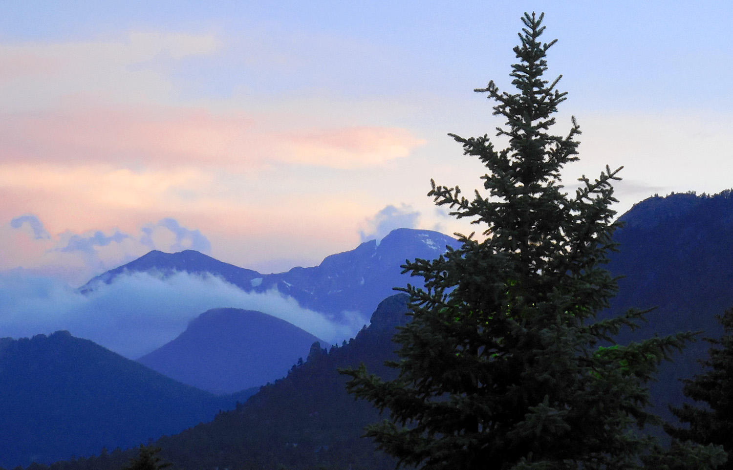
Telephoto, five minutes later (afternoon storms develop rapidly)
Jul 01 2013 - 11:58 am
Jul 01 2013 - 11:58 am
17 / 65 (US 34)
Special lighting of Ptarmigan Mountain (12,324') and Andrews Peak (12,565') over Shadow Mountain Reservior
Jun 30 2013 - 4:11 pm
Jun 30 2013 - 4:11 pm
18 / 65 (US 34)
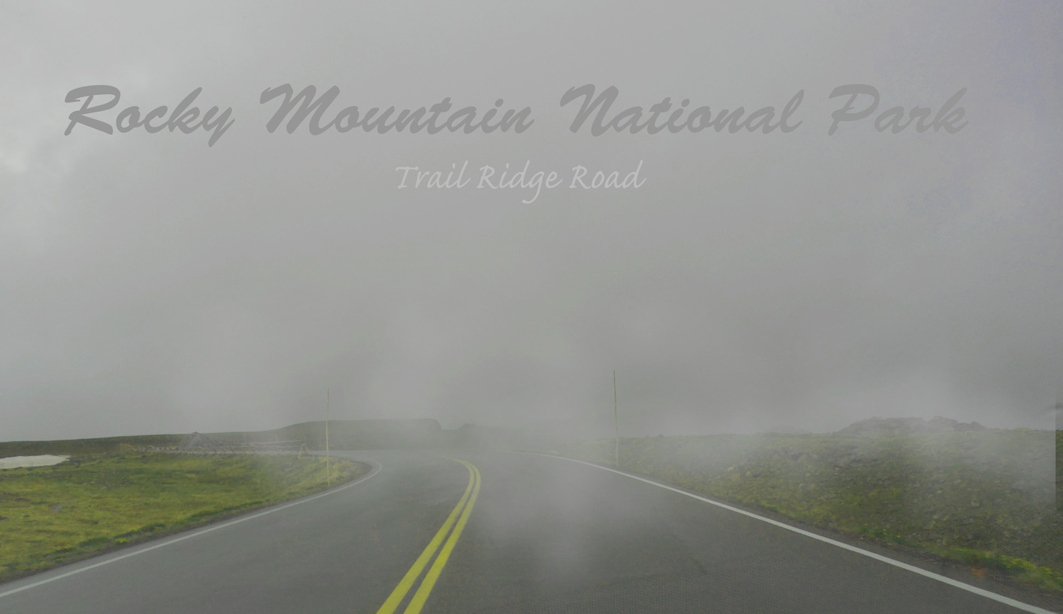
First attempt at Trail Ridge Road (could barely see the car 20 feet ahead of us, road along unseen cliffs)
Jun 30 2013 - 5:27 pm
Jun 30 2013 - 5:27 pm
19 / 65 (US 34)
Peaks of Rocky Mountain National Park the next morning
Jul 01 2013 - 8:29 am
Jul 01 2013 - 8:29 am
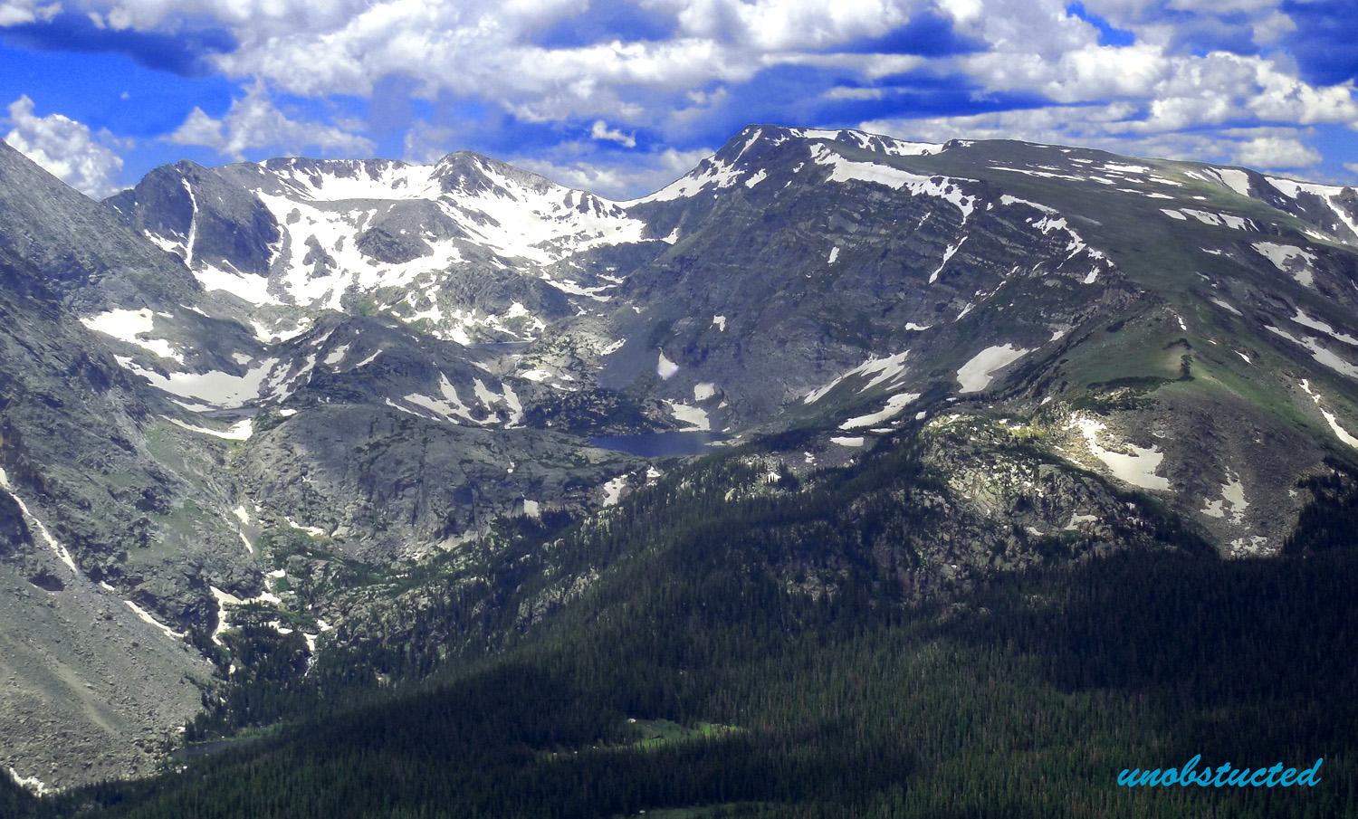
20 / 65 (US 34)
Circle Peaks: a glacial mega cirque (after my travel mate finally got ready by noon)
Jul 01 2013 - 12:09 pm
Jul 01 2013 - 12:09 pm
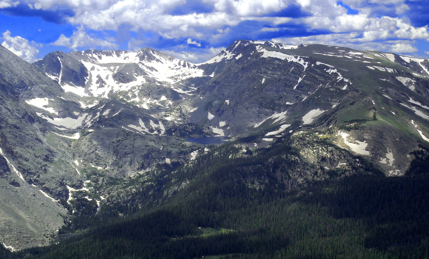
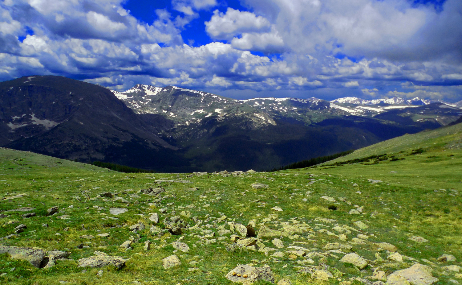
21 / 65 (US 34)
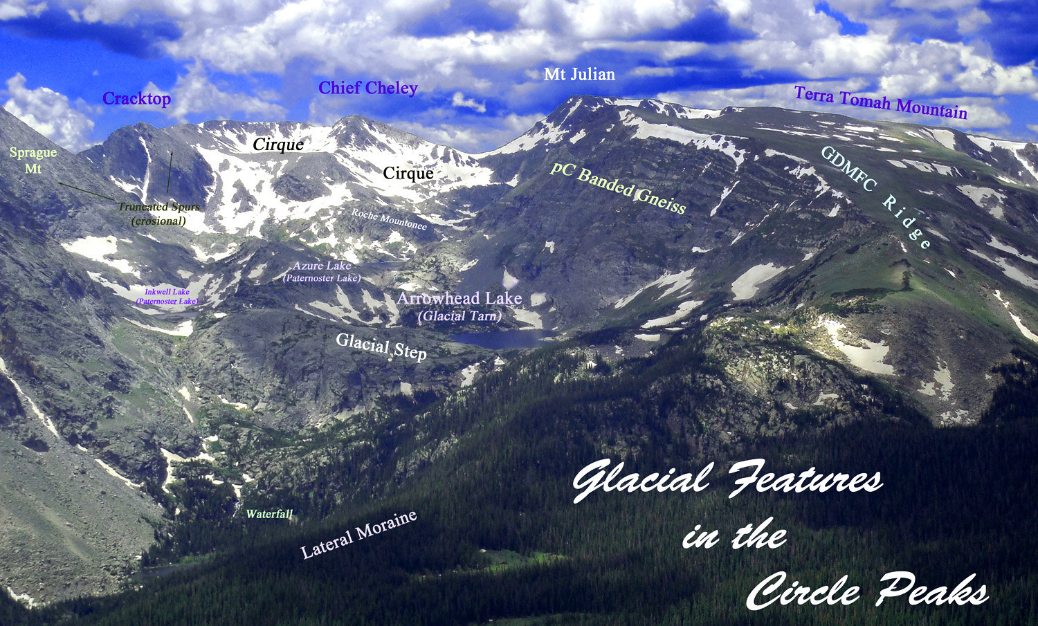
Glacial Features
Jul 01 2013 - 12:09 pm
Jul 01 2013 - 12:09 pm
22 / 65 (US 34)
Circle Peaks
Jul 01 2013 - 12:09 pm
Jul 01 2013 - 12:09 pm
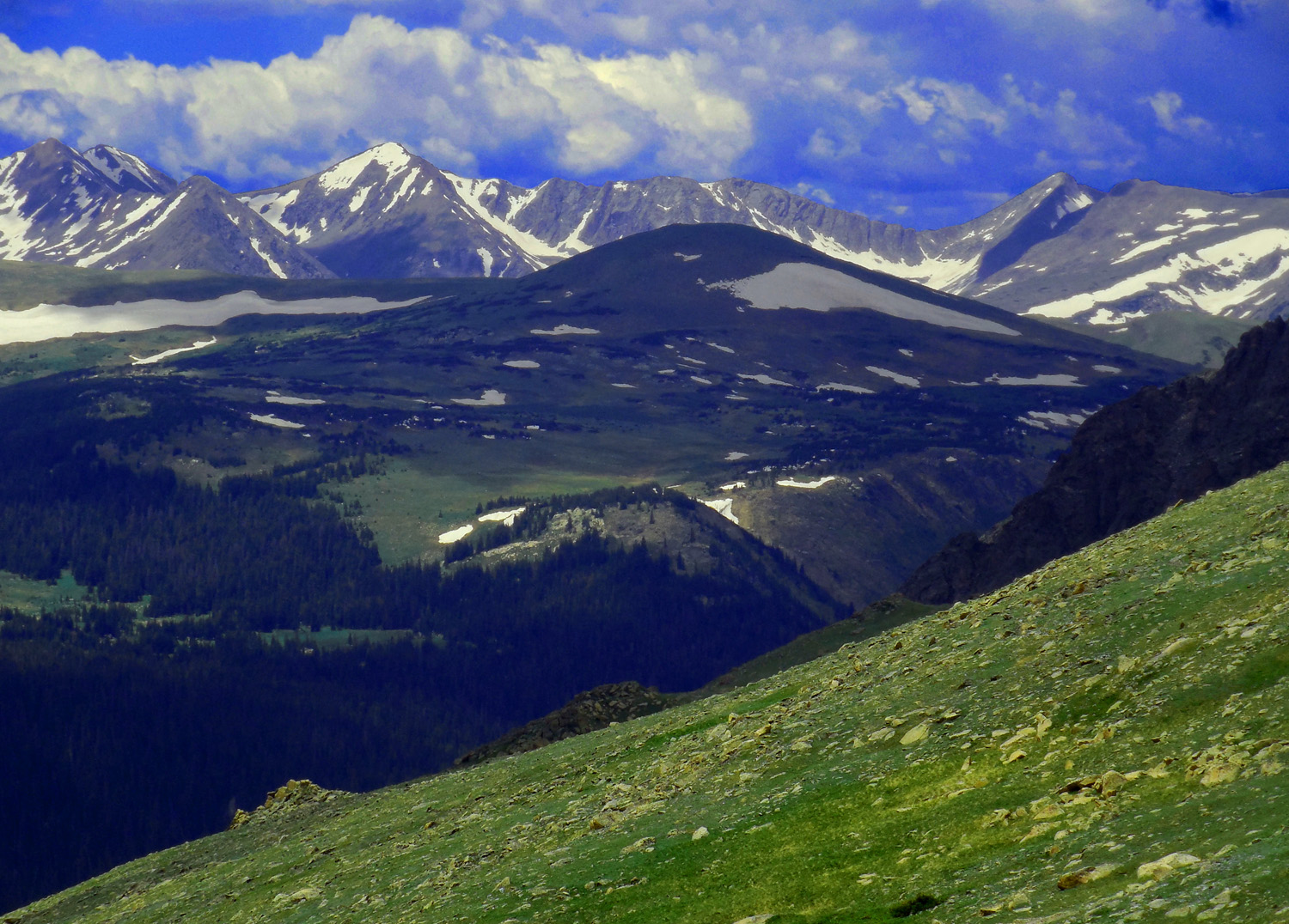
23 / 65 (US 34)
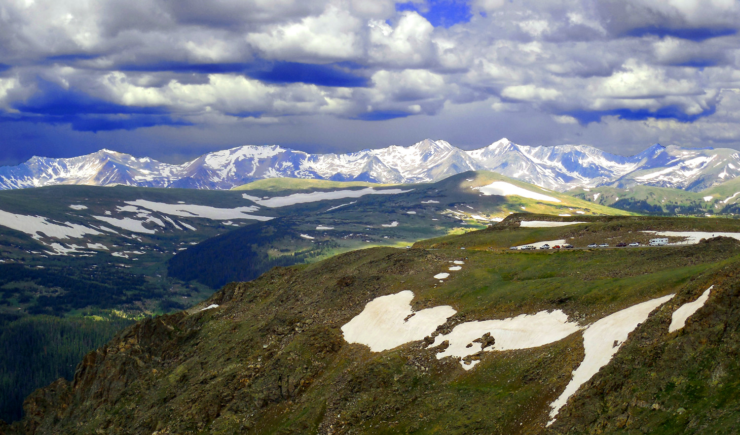
Never Summer Range over Miocene volcanoes (middle ground) from Trail Ridge Road
Jul 01 2013 - 12:14 pm
Jul 01 2013 - 12:14 pm
24 / 65 (US 34)
Jul 01 2013 - 12:16 pm
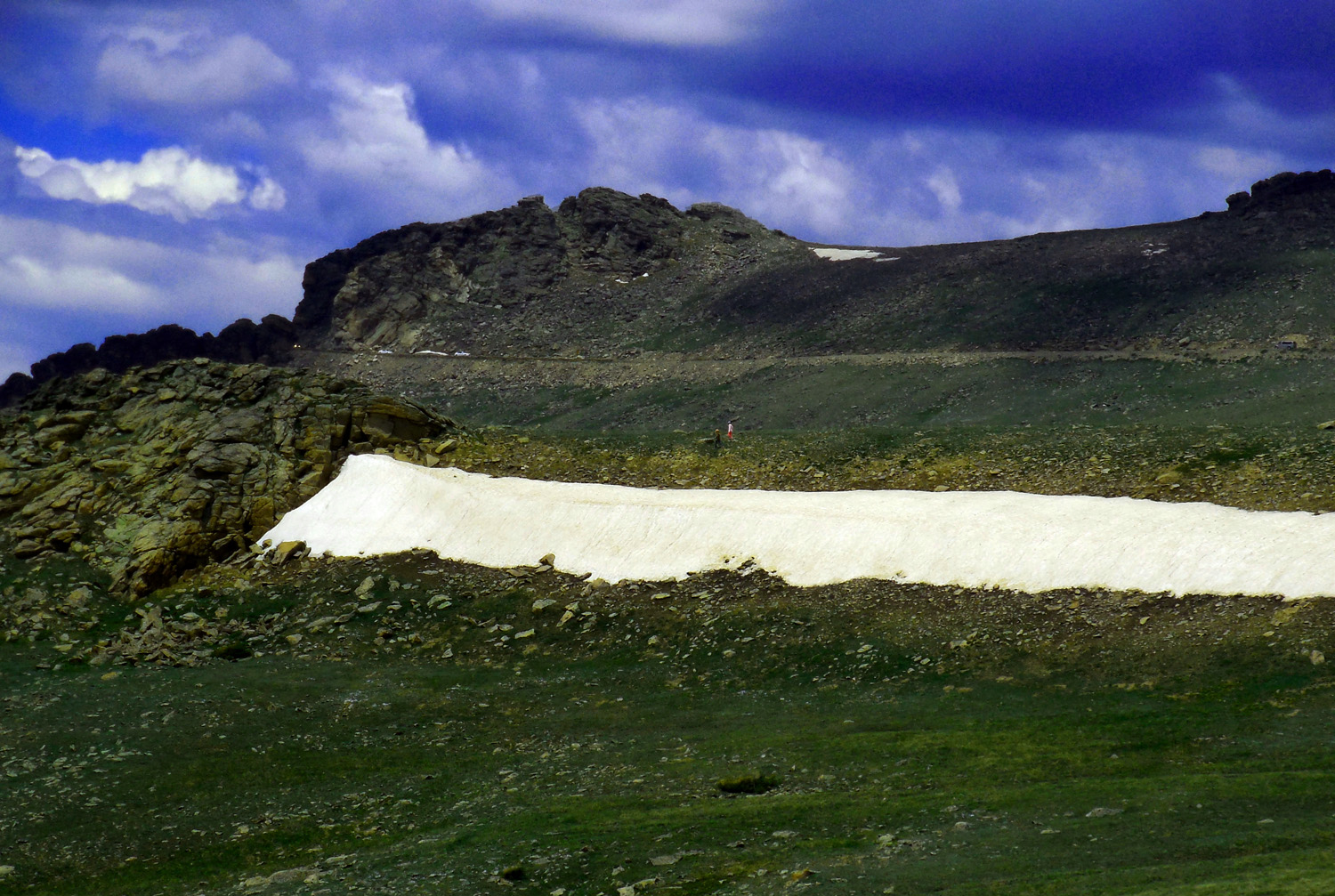
25 / 65 (US 34)
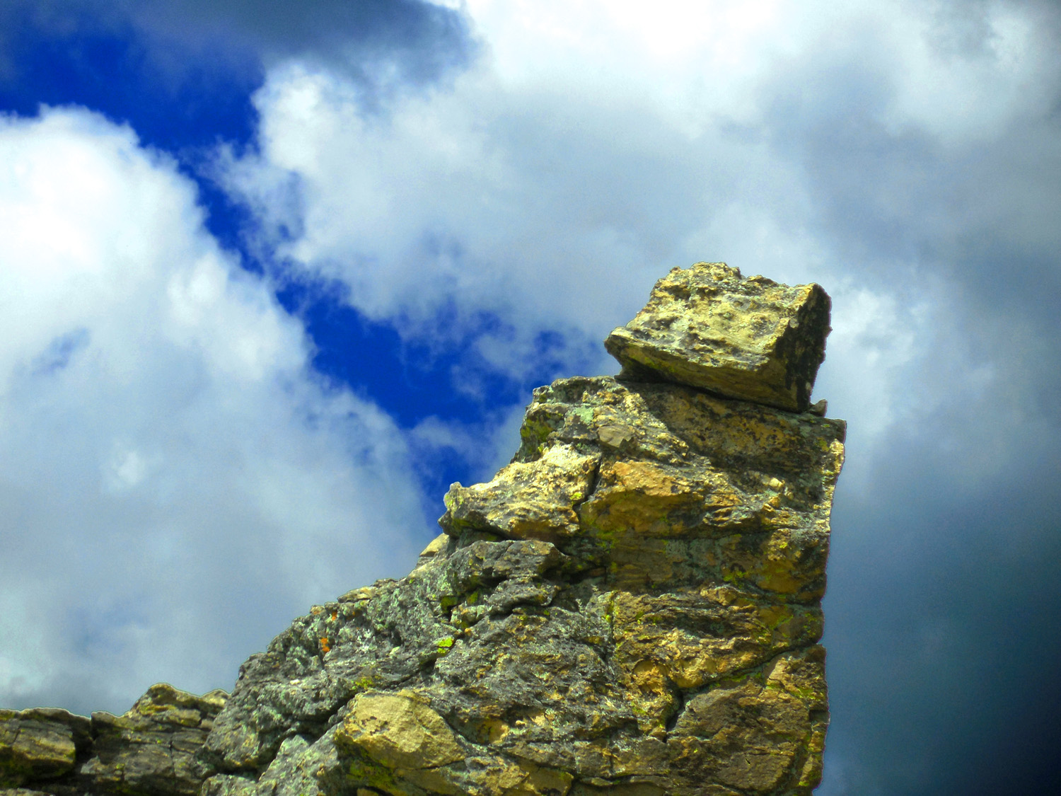
Whether massive or miniscule
Jul 01 2013 - 12:18 pm
Jul 01 2013 - 12:18 pm
26 / 65 (Beaver Creek Turnoff)
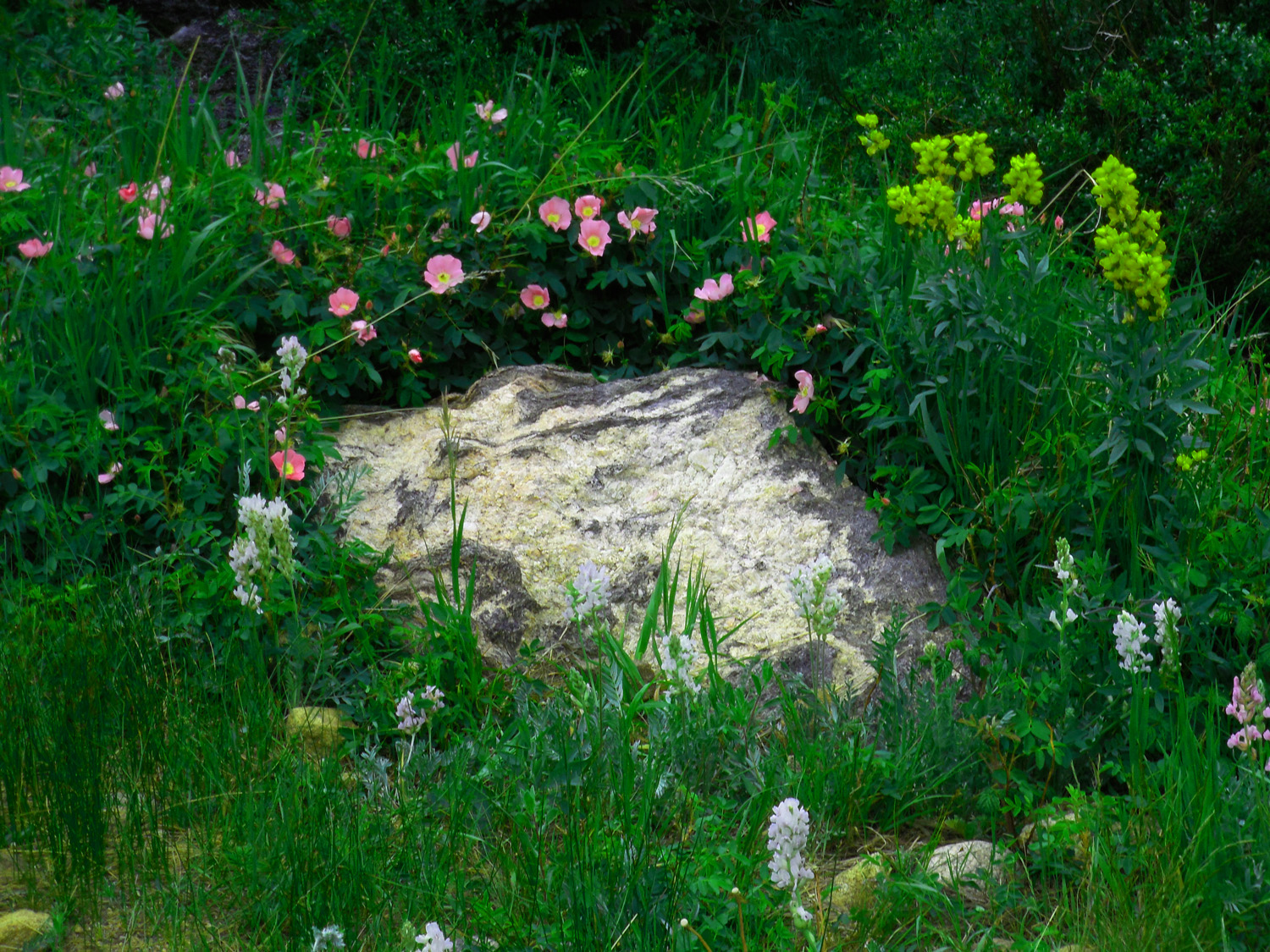
Flower Garden in Beaver Creek Picnic Area
Jul 01 2013 - 1:00 pm
Jul 01 2013 - 1:00 pm
27 / 65 (Photoshop)
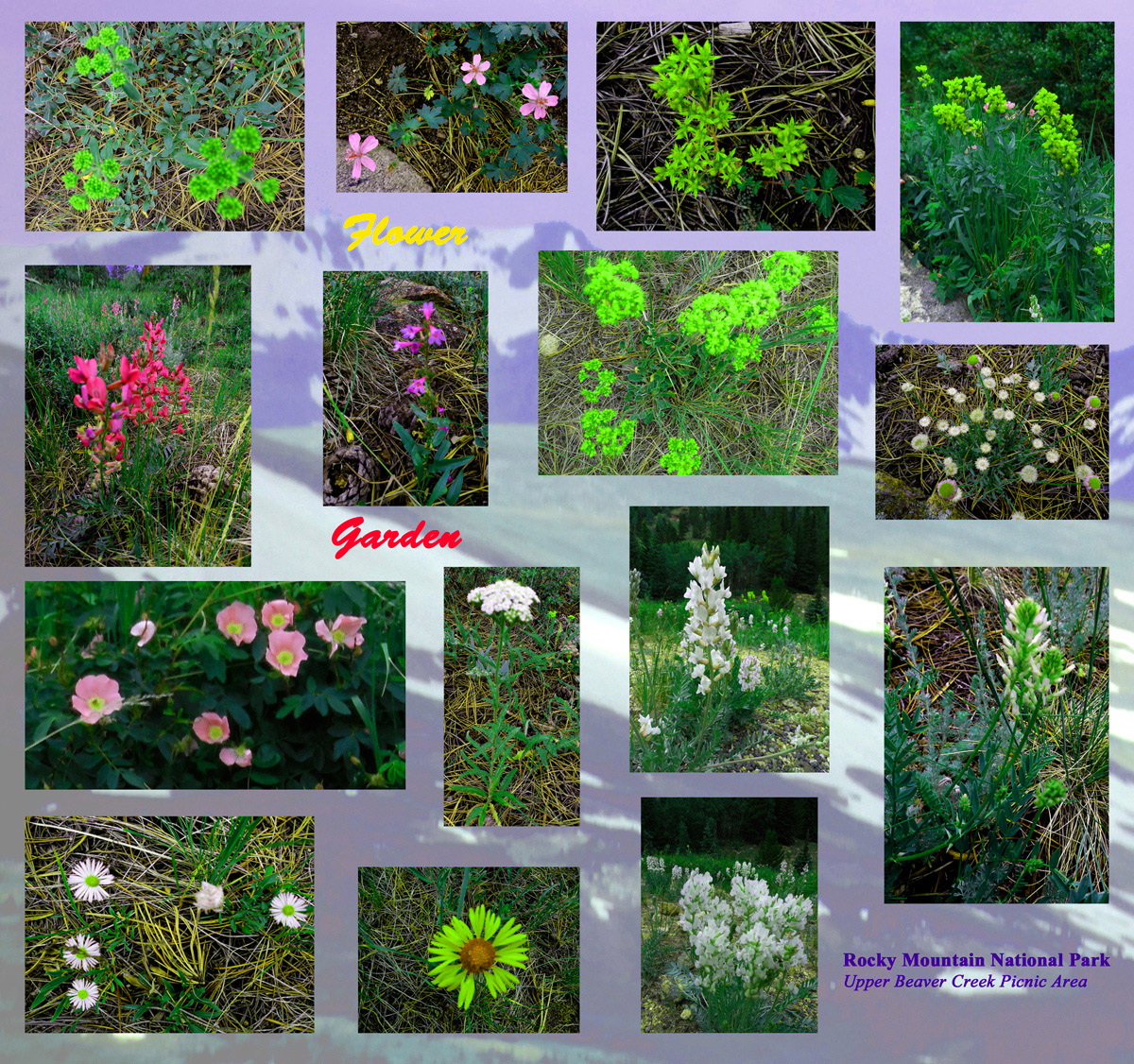
15 flowers within 15 feet
Jul 01 2013 - 1:01 pm
Jul 01 2013 - 1:01 pm
28 / 65 (US 34)
Trail Ridge Road
Jul 01 2013 - 12:39 pm
Jul 01 2013 - 12:39 pm
29 / 65 (US 34)
Granite spire
Jul 01 2013 - 12:23 pm
Jul 01 2013 - 12:23 pm
30 / 65 (US 34)
Volcano in front of Never Summer Range
Jul 01 2013 - 12:19 pm
Jul 01 2013 - 12:19 pm
31 / 65 (US 34)
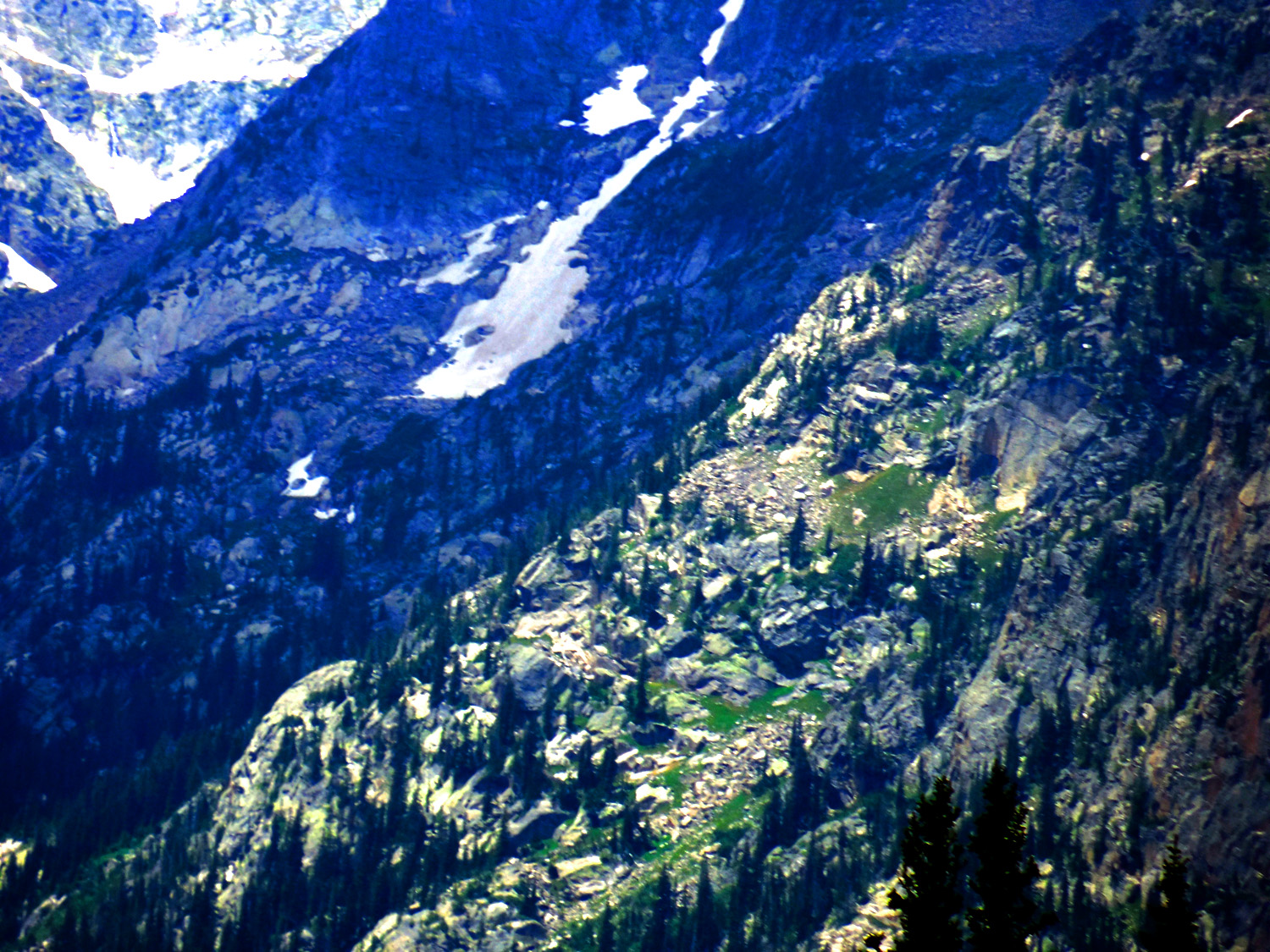
Valley slopes in granite carved by glaciers
Jul 01 2013 - 12:41 pm
Jul 01 2013 - 12:41 pm
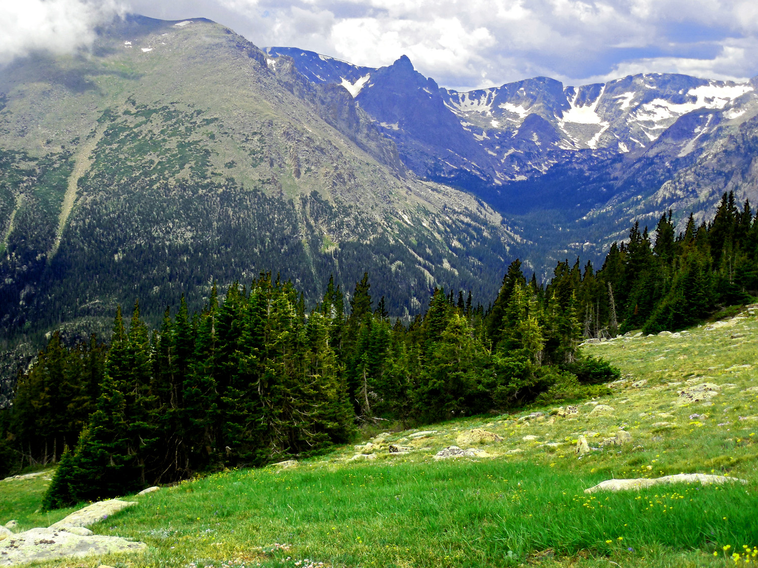
32 / 65 (US 34)
Timberline: 10,500' on south drier slopes, 11,500' on north wetter slopes
Jul 01 2013 - 12:13 pm
Jul 01 2013 - 12:13 pm
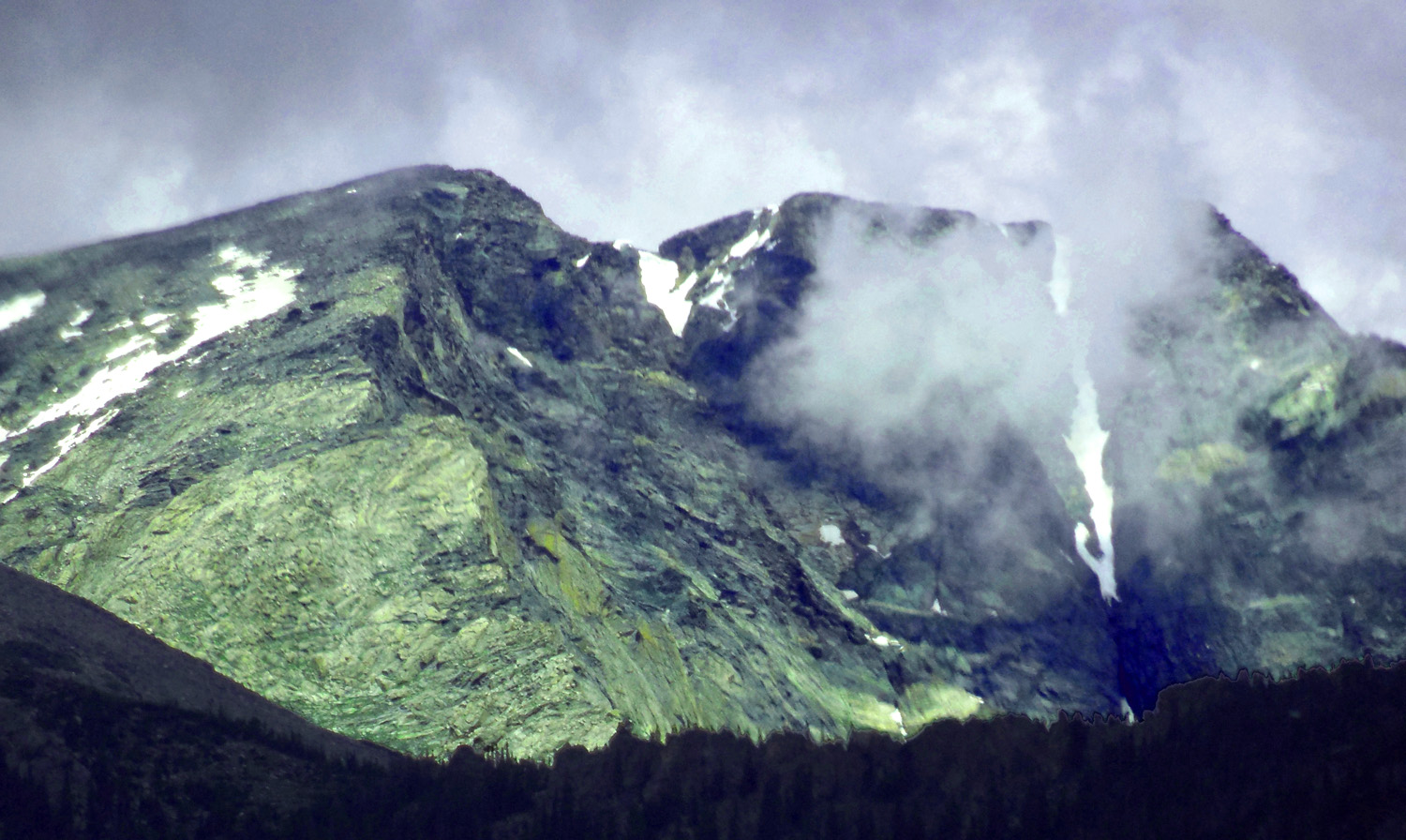
33 / 65 (US 34)
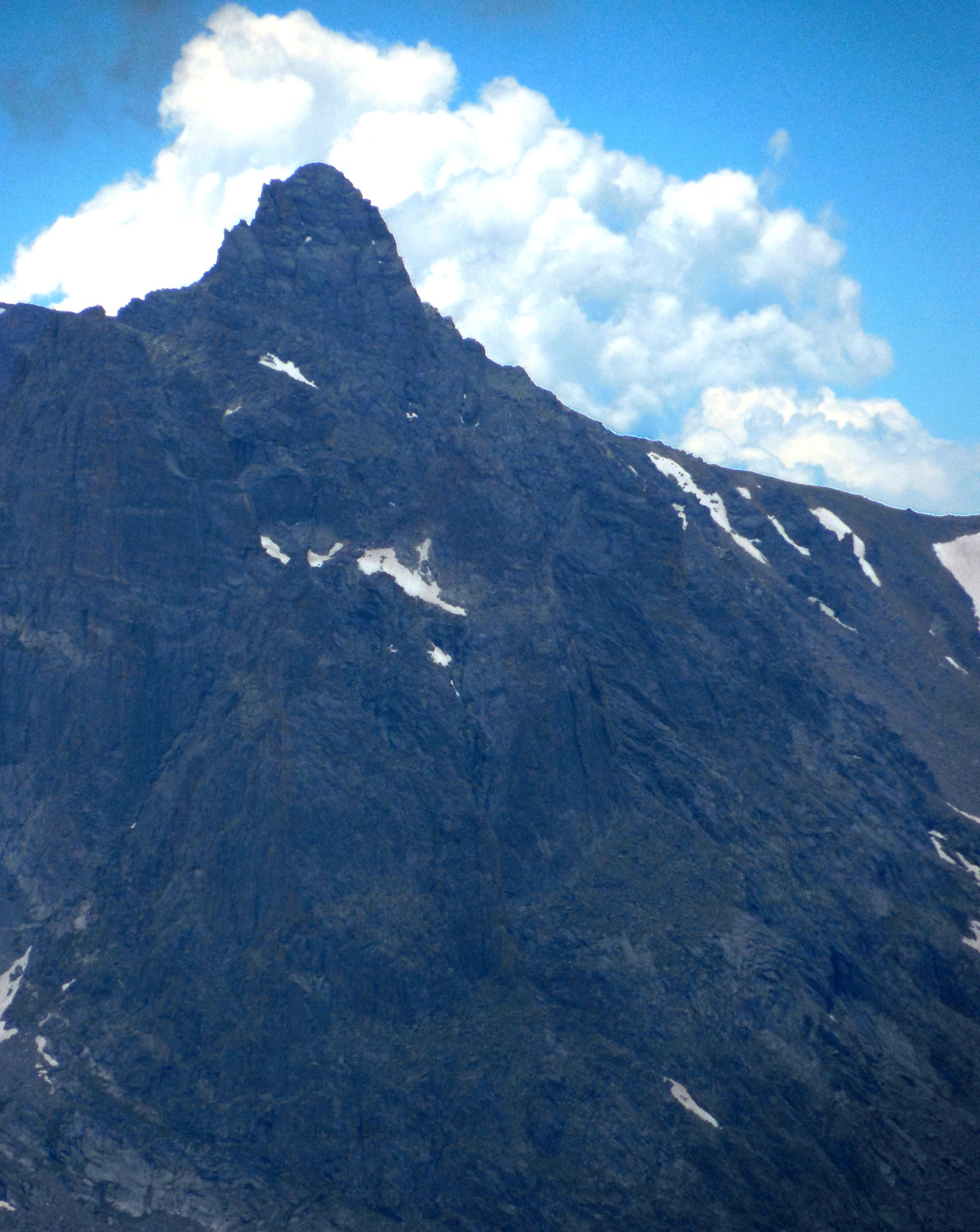
Hayden Spire (12,480') pushing up the clouds
Jul 01 2013 - 12:37 pm
Jul 01 2013 - 12:37 pm
34 / 65 (US 34)
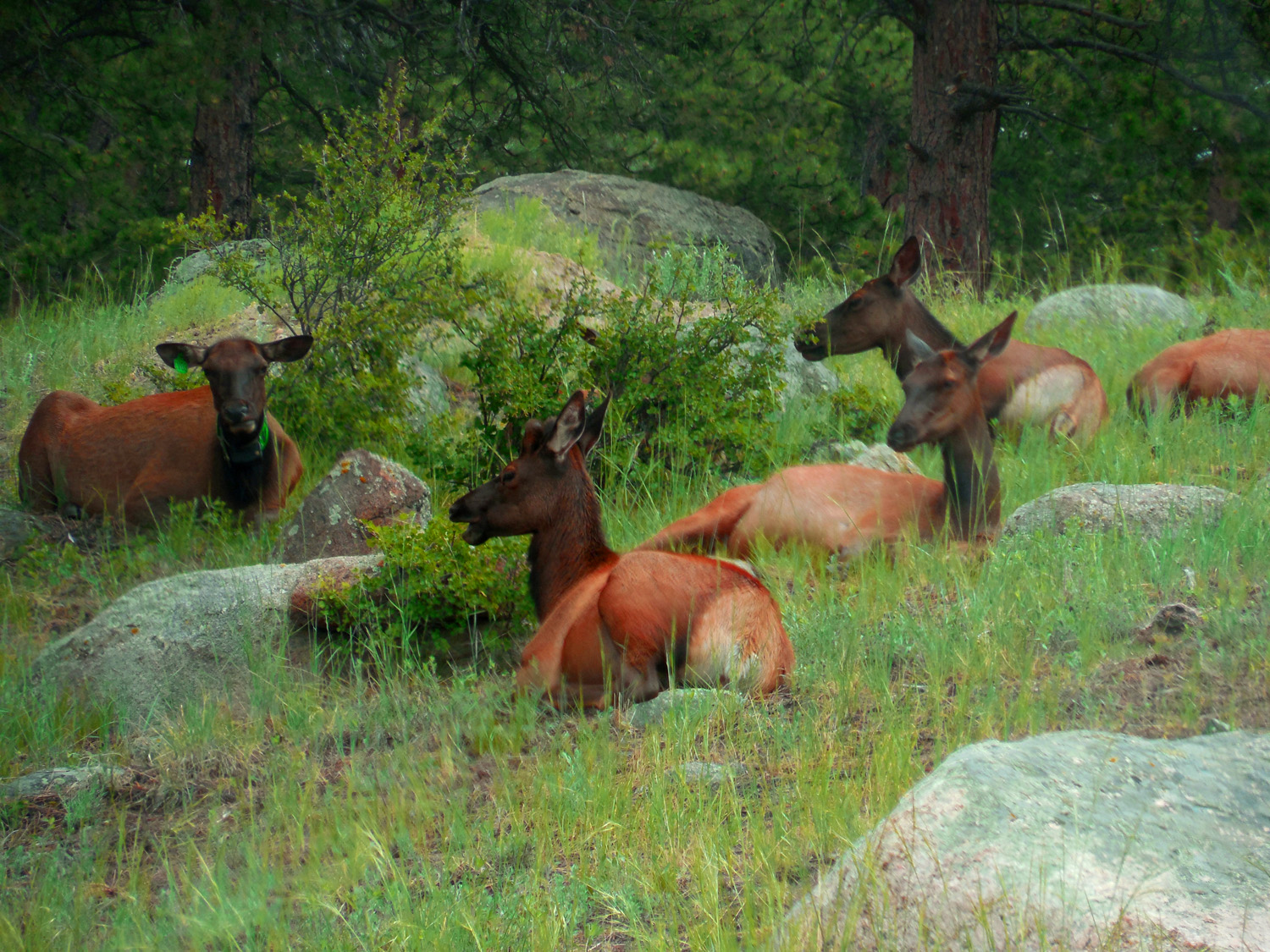
Herd of elk does
Jul 01 2013 - 1:32 pm
Jul 01 2013 - 1:32 pm
35 / 65 (US 34)
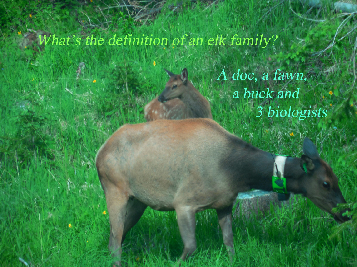
Definitions of an Elk Family
Jun 30 2013 - 4:41 pm
Jun 30 2013 - 4:41 pm
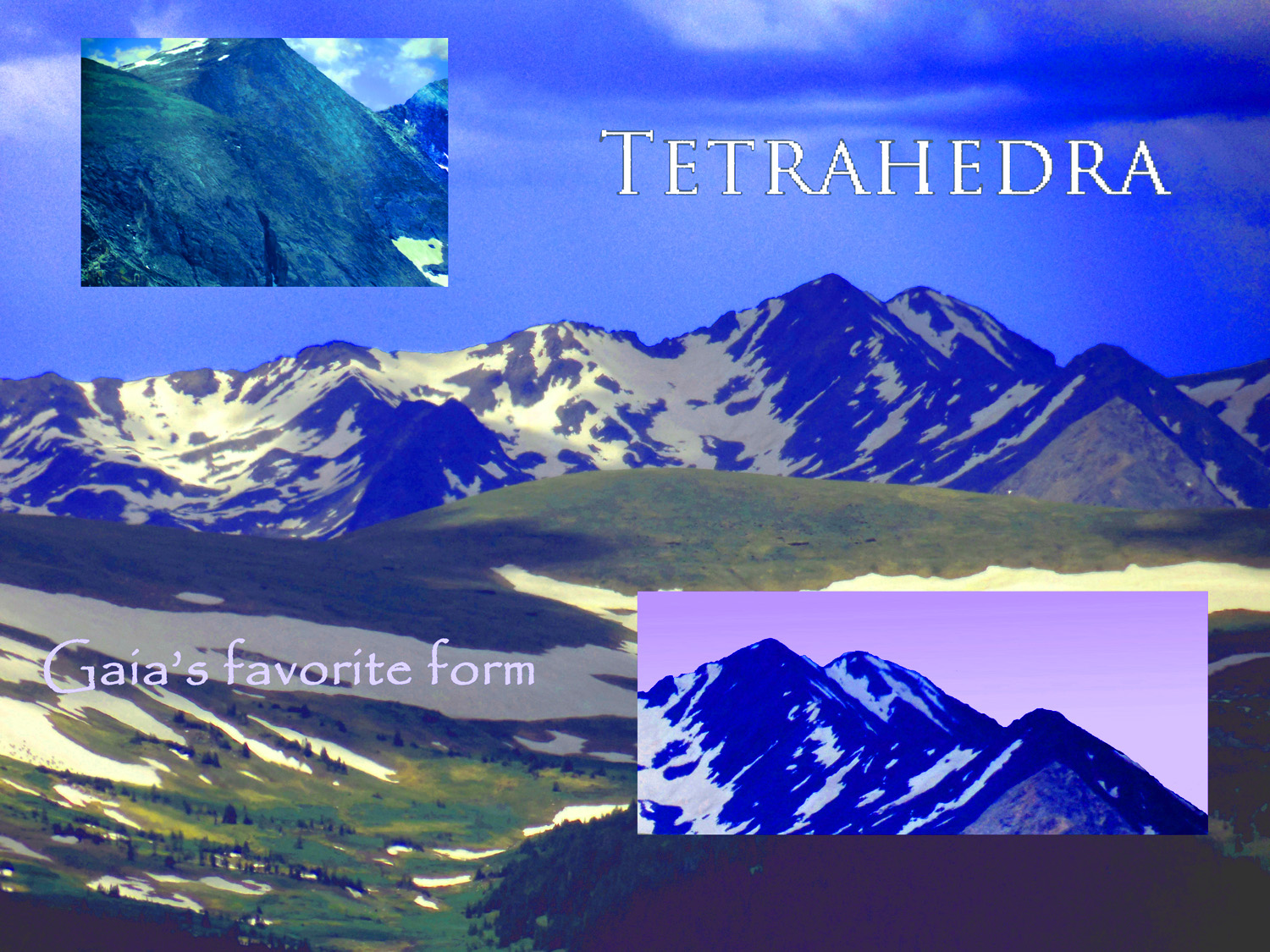
36 / 65 (US 34)
Circle Peaks
Jul 01 2013 - 12:42 pm
Jul 01 2013 - 12:42 pm
37 / 65 (US 34)
Zumie's Thumb on Long Peak and a foreground interloper
Jun 30 2013 - 6:21 pm
Jun 30 2013 - 6:21 pm
38 / 65 (US 34)
Long Peak (14,259' right) and twin peaks of Mt. Meeker (13,911' left) two highsest peaks in RMNP
Jun 30 2013 - 7:43 pm
Jun 30 2013 - 7:43 pm
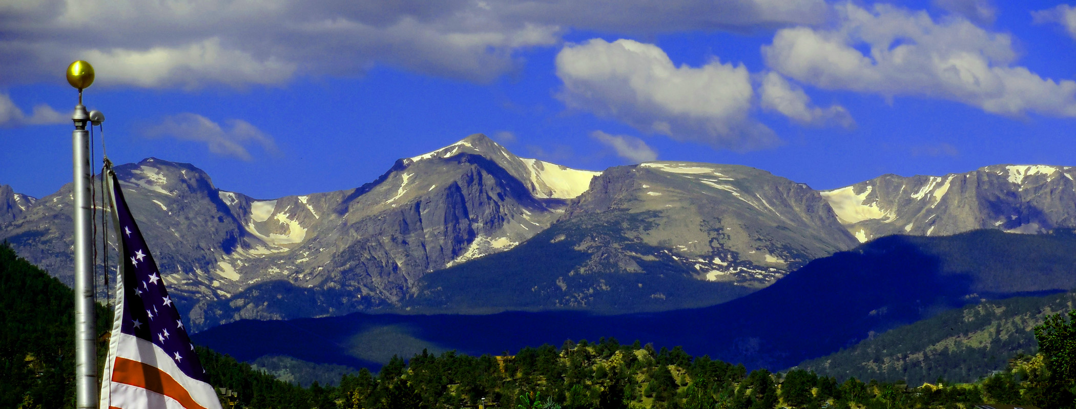
39 / 65 (US 34)
Estes Park
Jul 01 2013 - 2:31 pm
Jul 01 2013 - 2:31 pm
40 / 65 (US 34)
Twin Sisters (11,427' both twins) (I grew to love the Colorado Rockies while at Cheley Camps on Twin Sisters north flank)
Jun 30 2013 - 7:28 pm
Jun 30 2013 - 7:28 pm
41 / 65 (US 34)
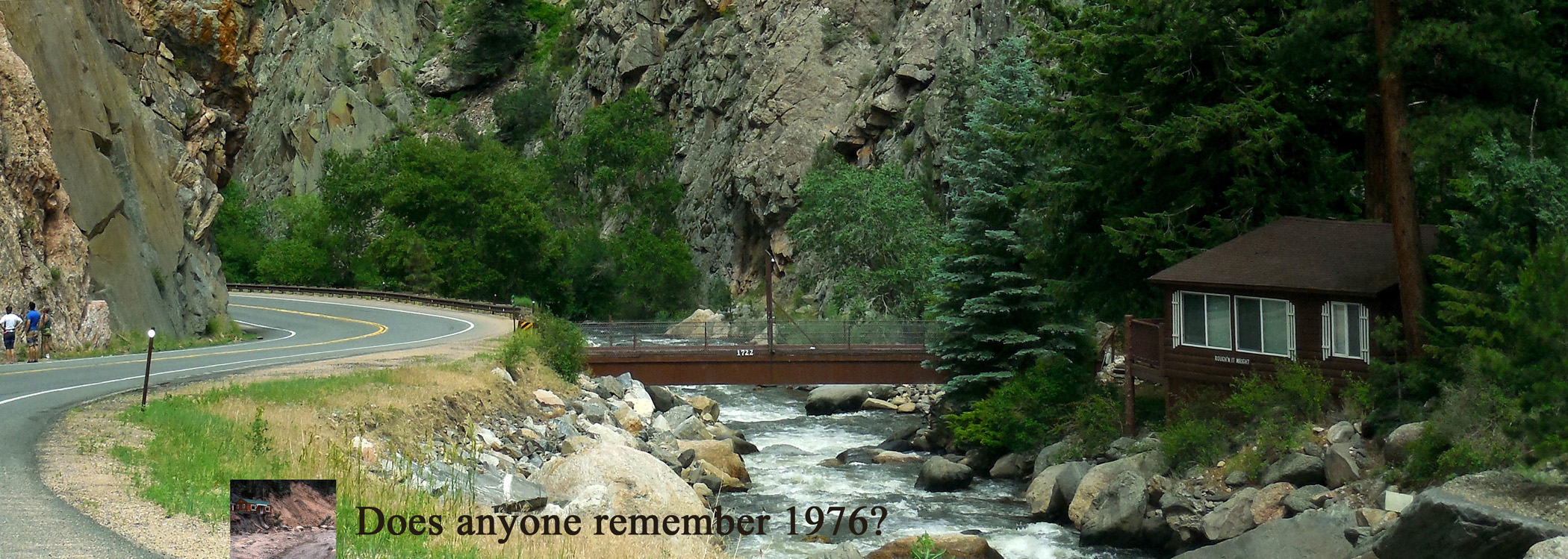
Photo taken July 1, captioned on August 9 September 12 of that year Big Thompson River flooded once again
Jul 01 2013 - 3:01 pm
Jul 01 2013 - 3:01 pm
42 / 65 (Amtrak)
Indian Peaks Range south of RMNP (tint is from Amtrak windows)
Nov 20 2018 - 4:32 pm
Nov 20 2018 - 4:32 pm
43 / 65 (CO 9)
Torreys Peak (14,267', left) and Gray Peak (14,270', right) over the Blue River Valley
Apr 06 2017 - 3:55 pm
Apr 06 2017 - 3:55 pm
44 / 65 (CO 9)
In different weather
Dec 21 2016 - 3:35 pm
Dec 21 2016 - 3:35 pm
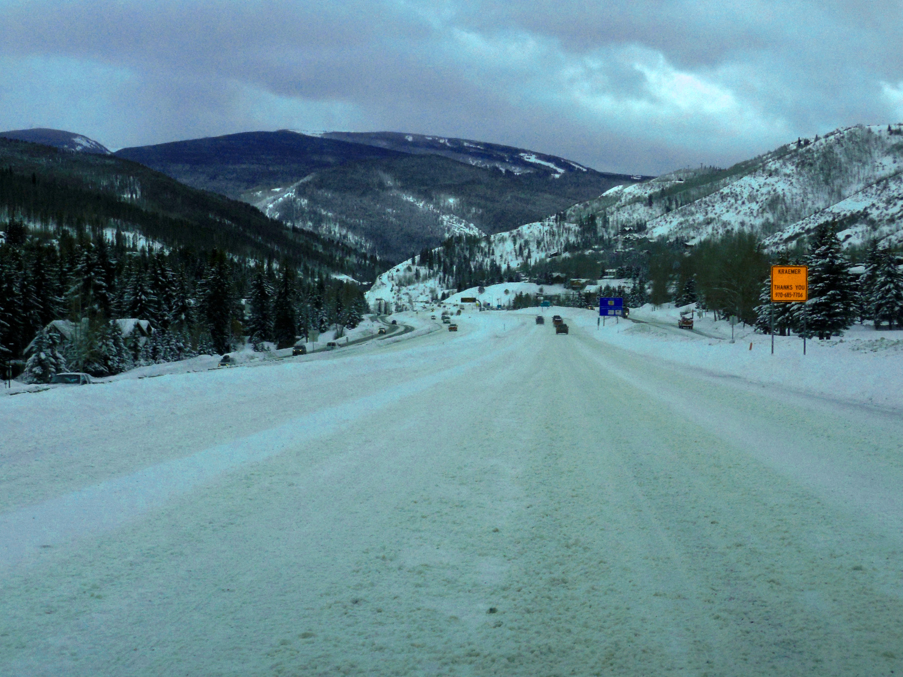
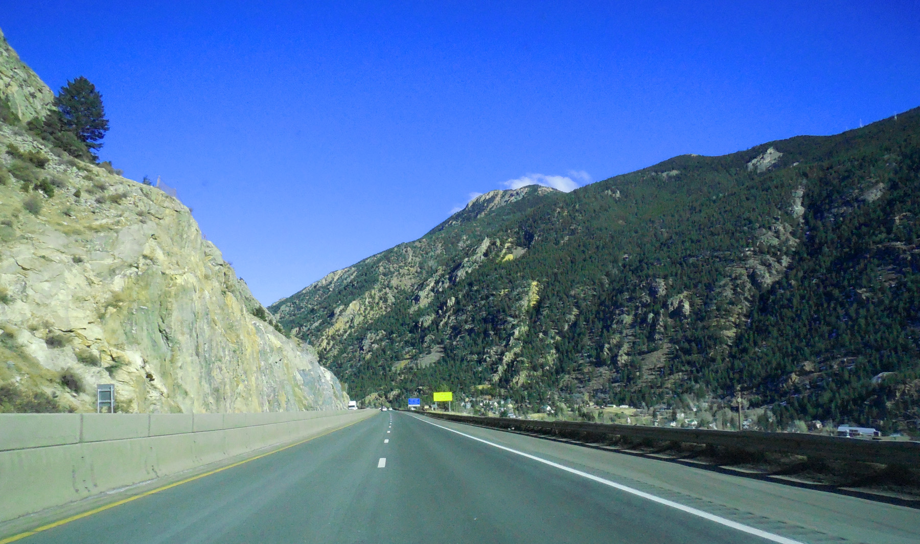
45 / 65 (I 70)
Front Range
Nov 30 2017 - 4:14 pm
Nov 30 2017 - 4:14 pm
46 / 65 (I 70)
I 70 closed by snow
Jan 08 2017 - 3:19 pm
Jan 08 2017 - 3:19 pm
47 / 65 (I 70)
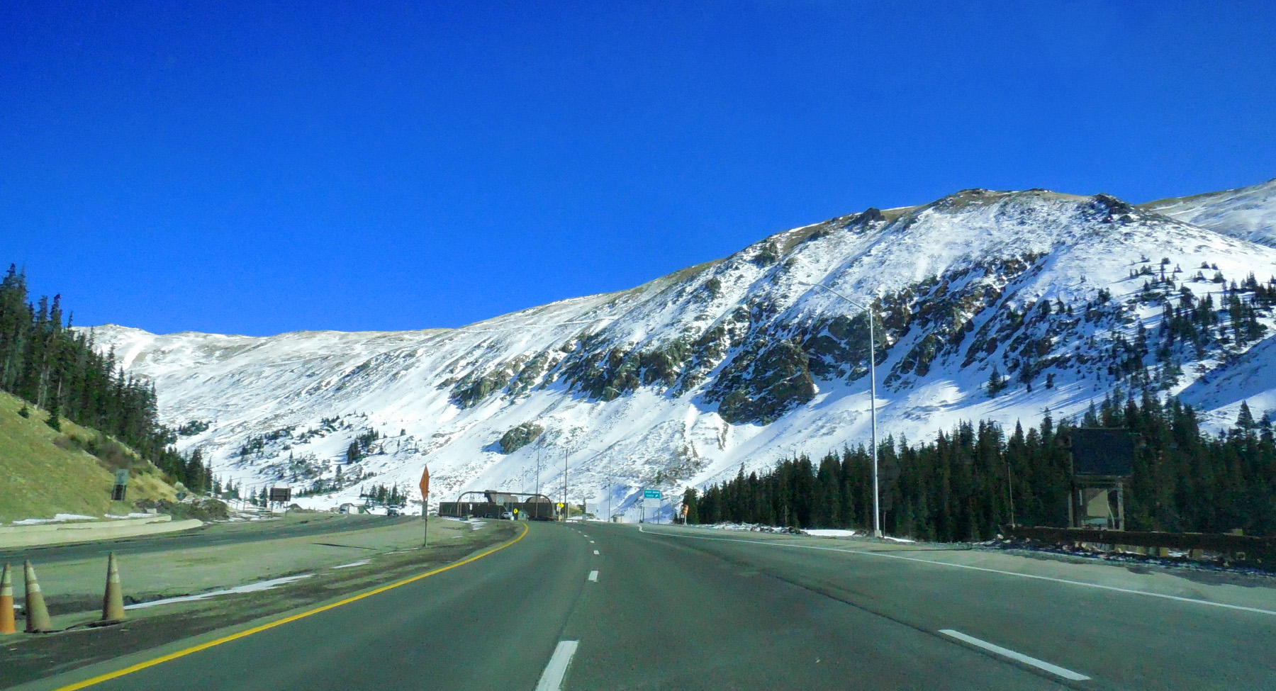
Sometimes clear to Eisenhower Tunnel
Nov 12 2019 - 12:34 pm
Nov 12 2019 - 12:34 pm
48 / 65 (US 6)
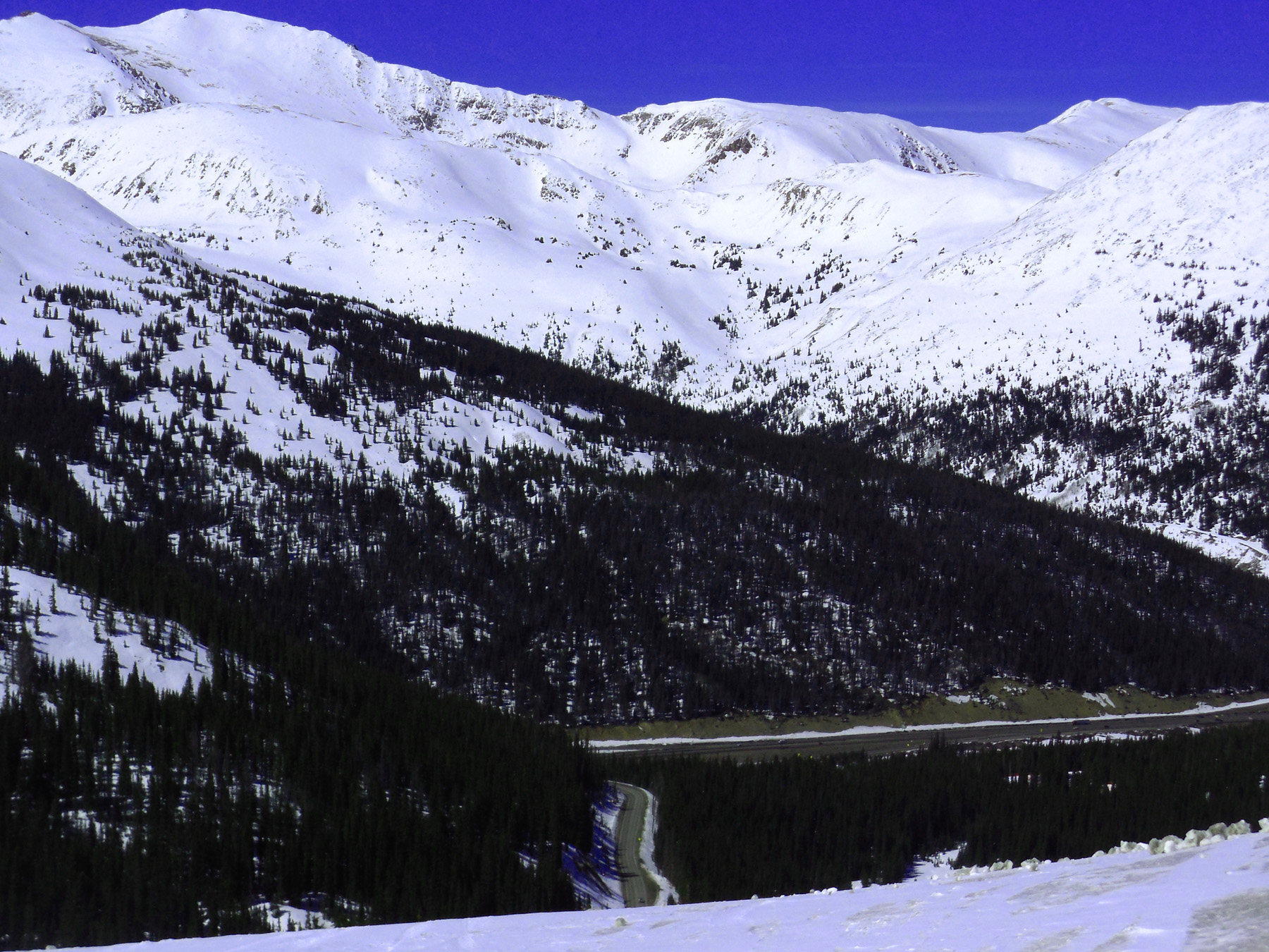
US 6 far below up and over Loveland Pass on US 6
Apr 06 2017 - 2:42 pm
Apr 06 2017 - 2:42 pm
49 / 65 (US 6)
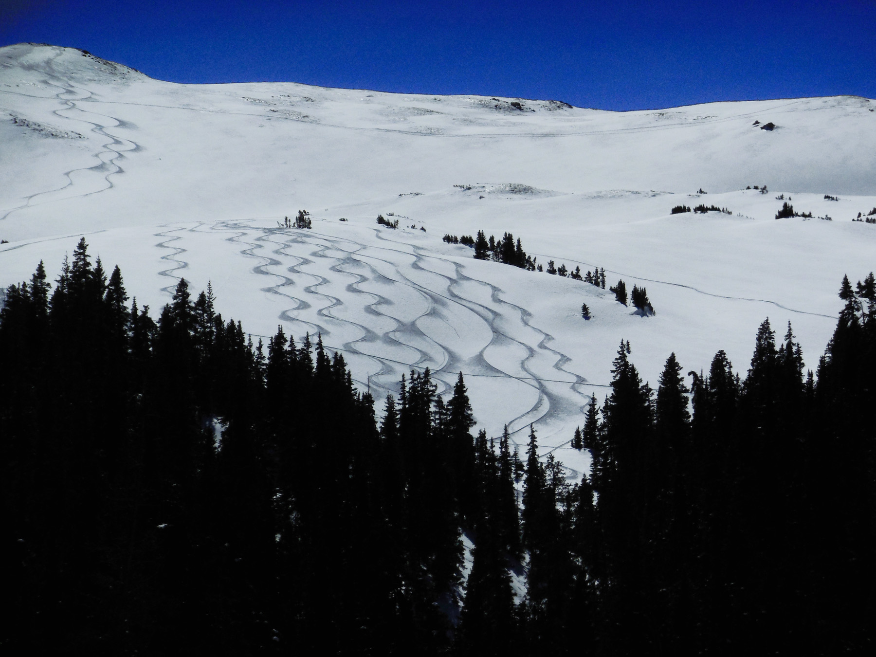
Perfect Sine Curves
Apr 06 2017 - 2:54 pm
Apr 06 2017 - 2:54 pm
50 / 65 (US 6)
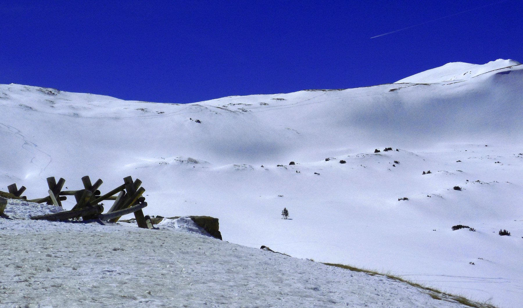
Snow covered ridge crest near Loveland Pass
Apr 06 2017 - 2:43 pm
Apr 06 2017 - 2:43 pm
51 / 65 (US 6)
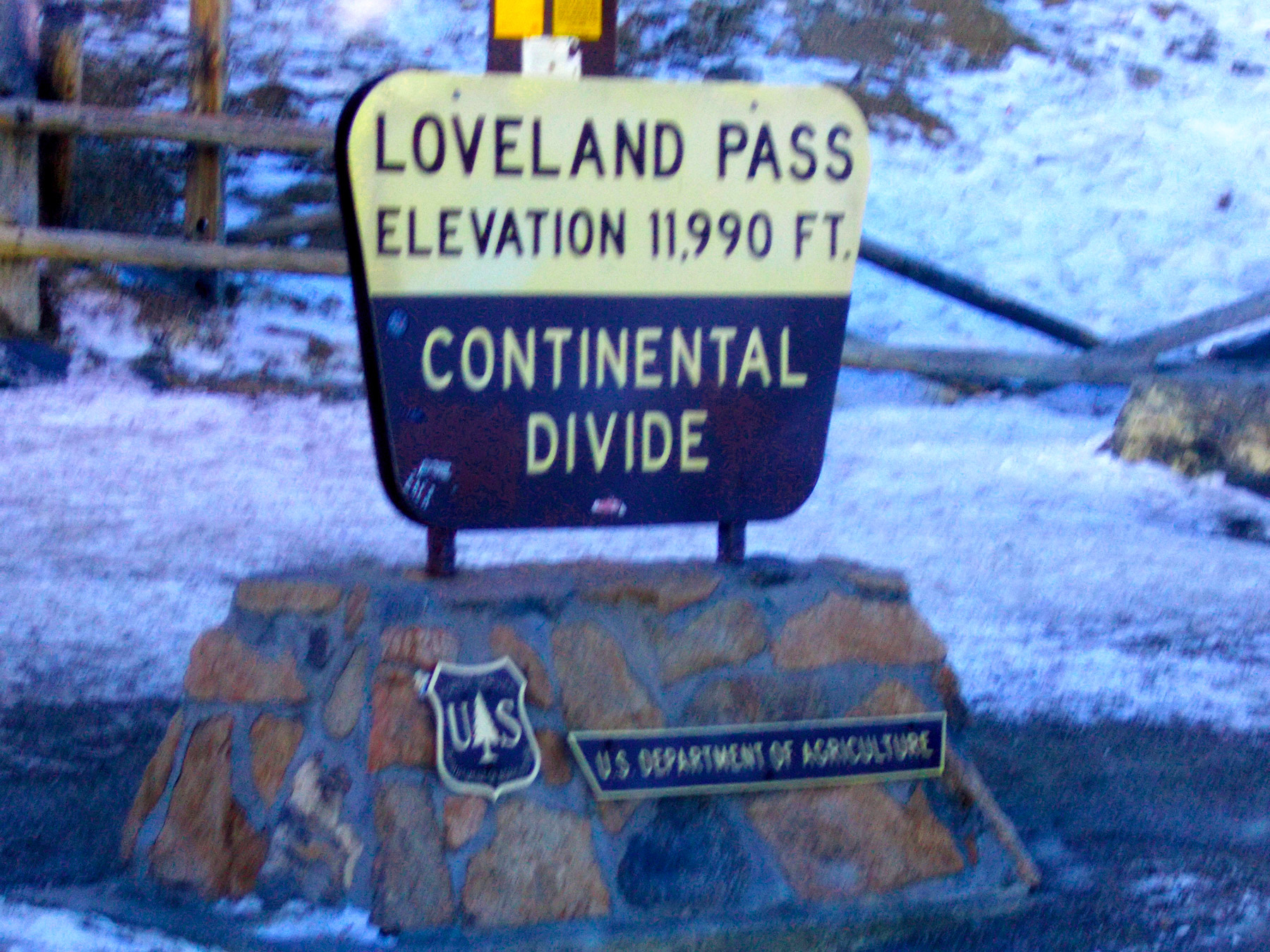
Loveland Pass
Nov 30 2017 - 3:39 pm
Nov 30 2017 - 3:39 pm
52 / 65 (US 6)
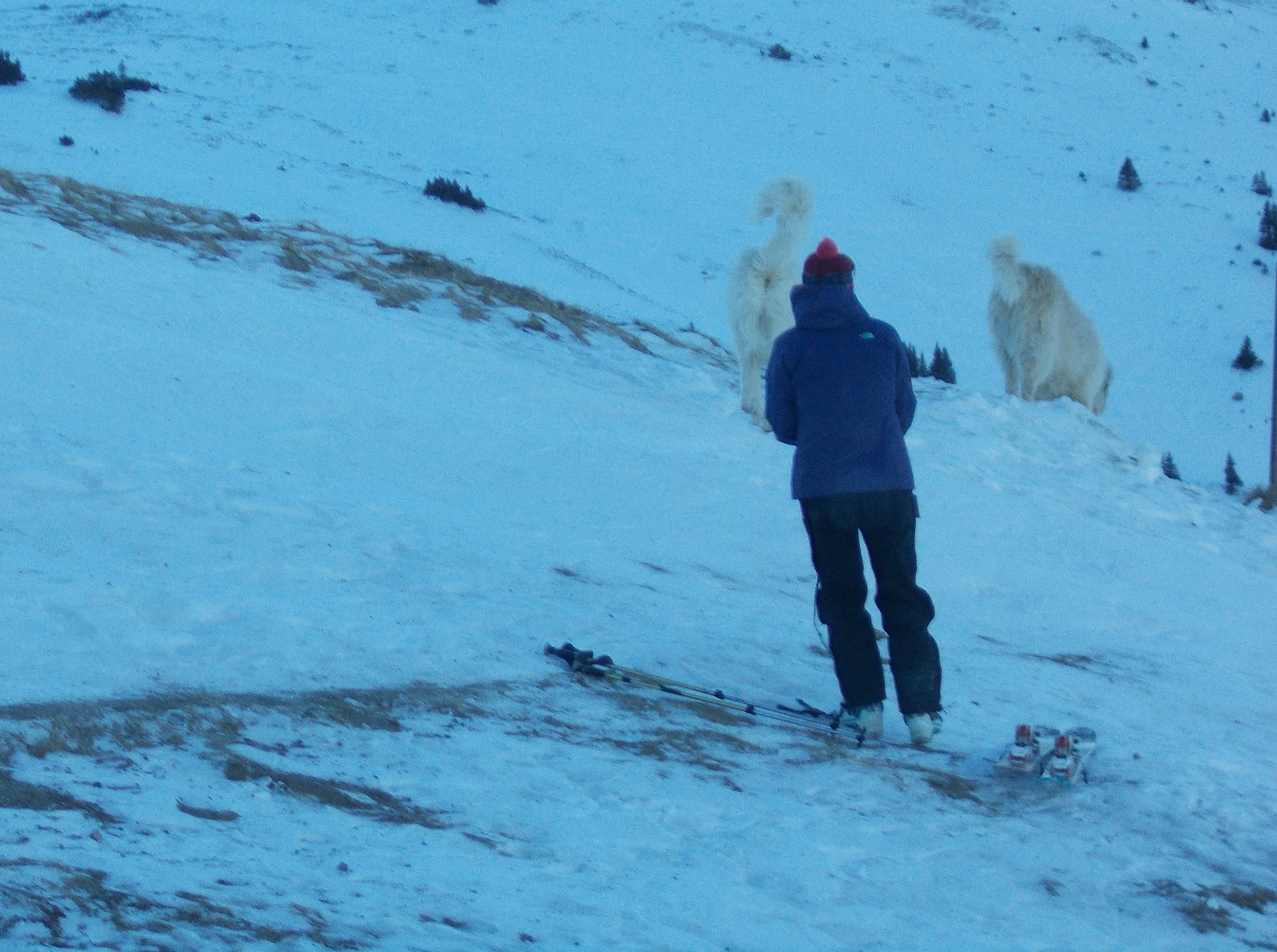
Expert skiers only; Great Pyrenees allowed
Nov 30 2017 - 3:40 pm
Nov 30 2017 - 3:40 pm
53 / 65 (US 6)
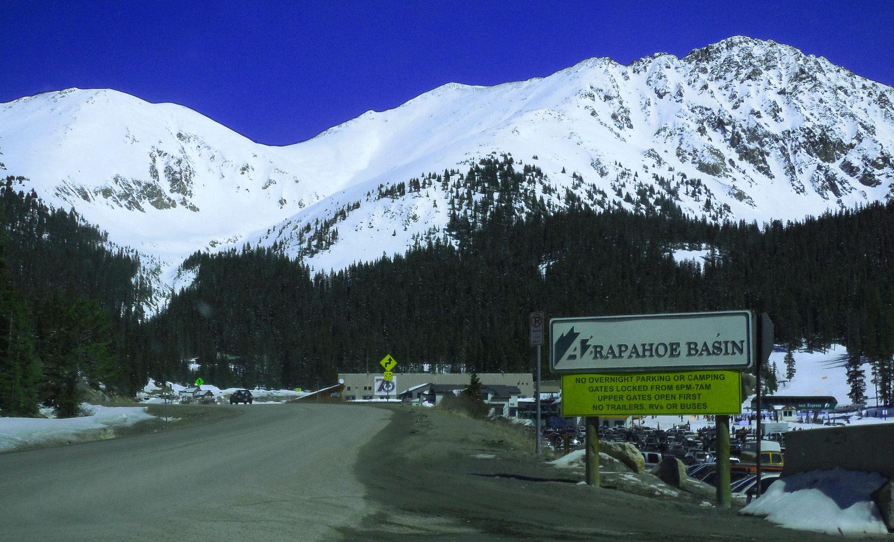
Arapahoe Basin Ski Area
Apr 06 2017 - 2:28 pm
Apr 06 2017 - 2:28 pm
54 / 65 (US 6)
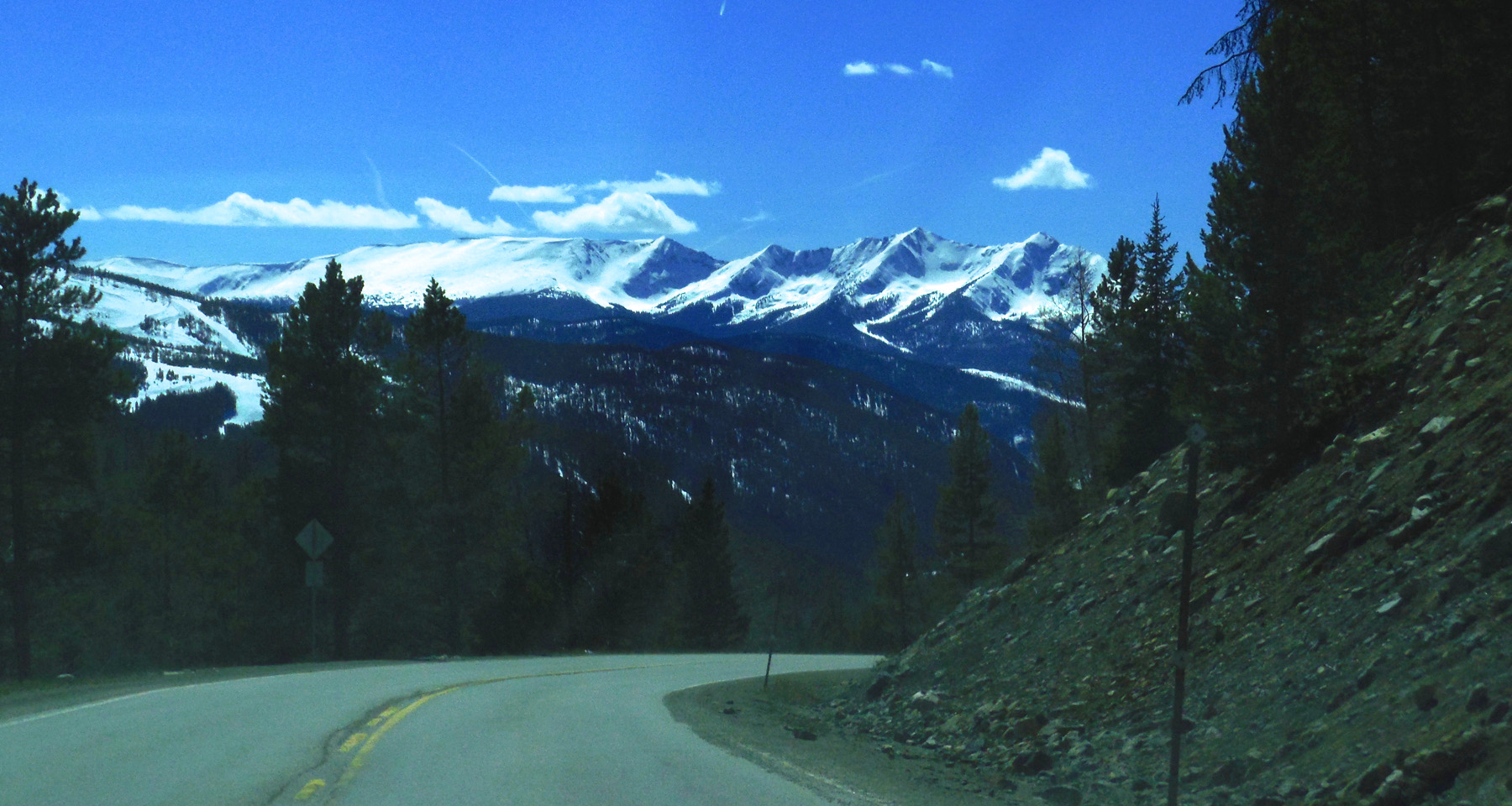
Ten Mile Range
Apr 06 2017 - 3:19 pm
Apr 06 2017 - 3:19 pm
55 / 65 (I 70)
The rest of the Front Range on I 70 is a long slope to the:
Nov 12 2019 - 12:46 pm
Nov 12 2019 - 12:46 pm
56 / 65 (I 70)
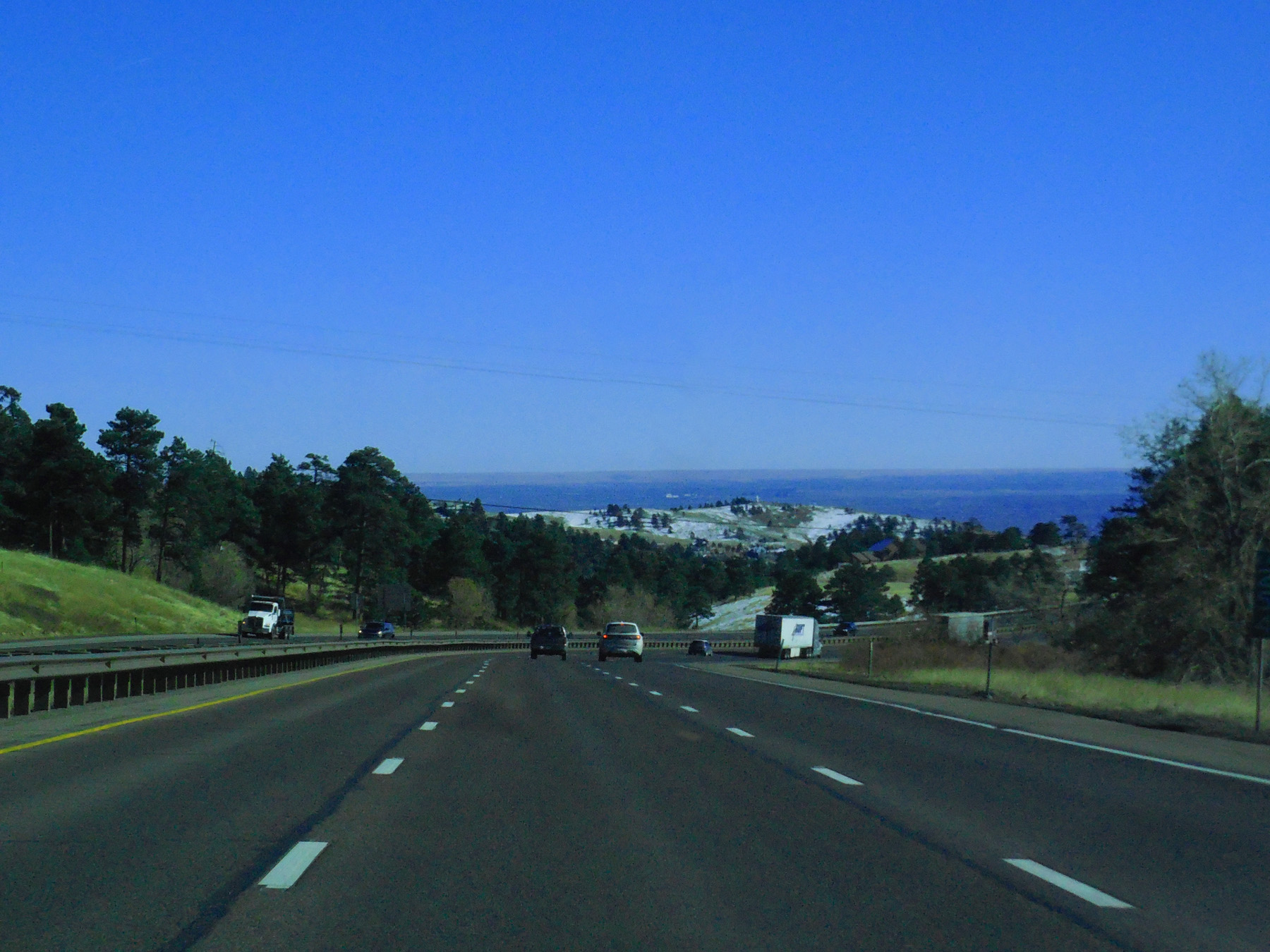
Great Plains
Nov 12 2019 - 1:10 pm
Nov 12 2019 - 1:10 pm
57 / 65 (CO 12)
Pikes Peak from Cucharas Pass
Nov 27 2020 - 11:42 am
Nov 27 2020 - 11:42 am
58 / 65 (Skyline Drive)
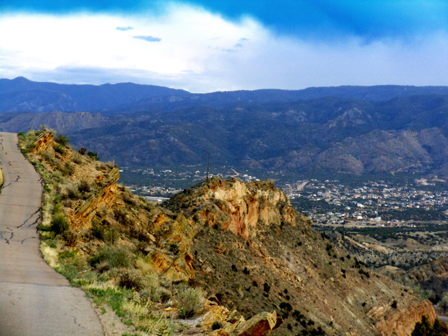
Wet Mountains beyond Cañon City
May 13 2013 - 7:27 pm
May 13 2013 - 7:27 pm
59 / 65 (Skyline Drive)
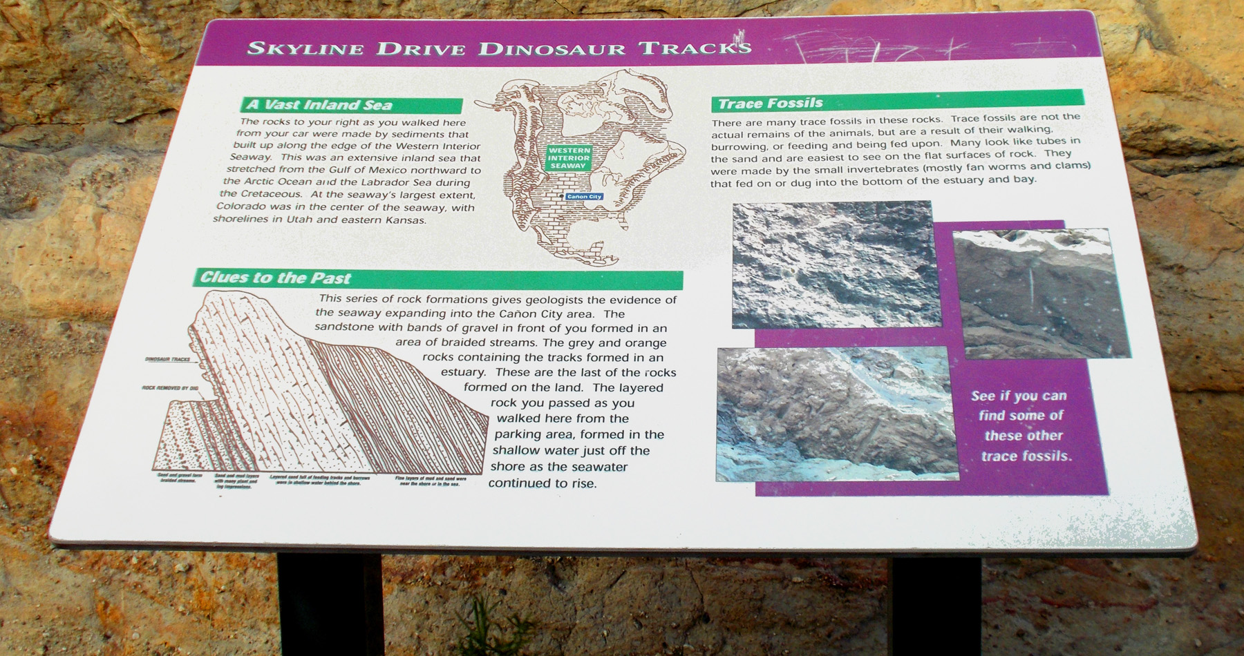
Road sign about dinosaur tracks
May 13 2013 - 7:15 pm
May 13 2013 - 7:15 pm
60 / 65 (Skyline Drive)
Dinosaur tracks on Dakota Sandstone Hogback uplift of the Front Range
May 13 2013 - 7:18 pm
May 13 2013 - 7:18 pm
61 / 65 (Skyline Drive)
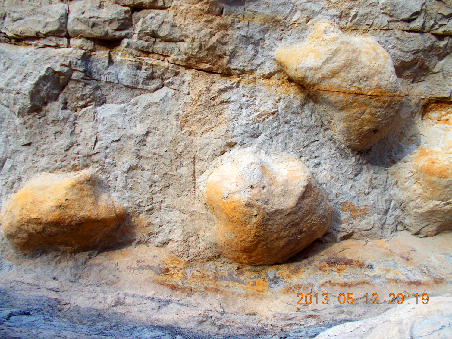
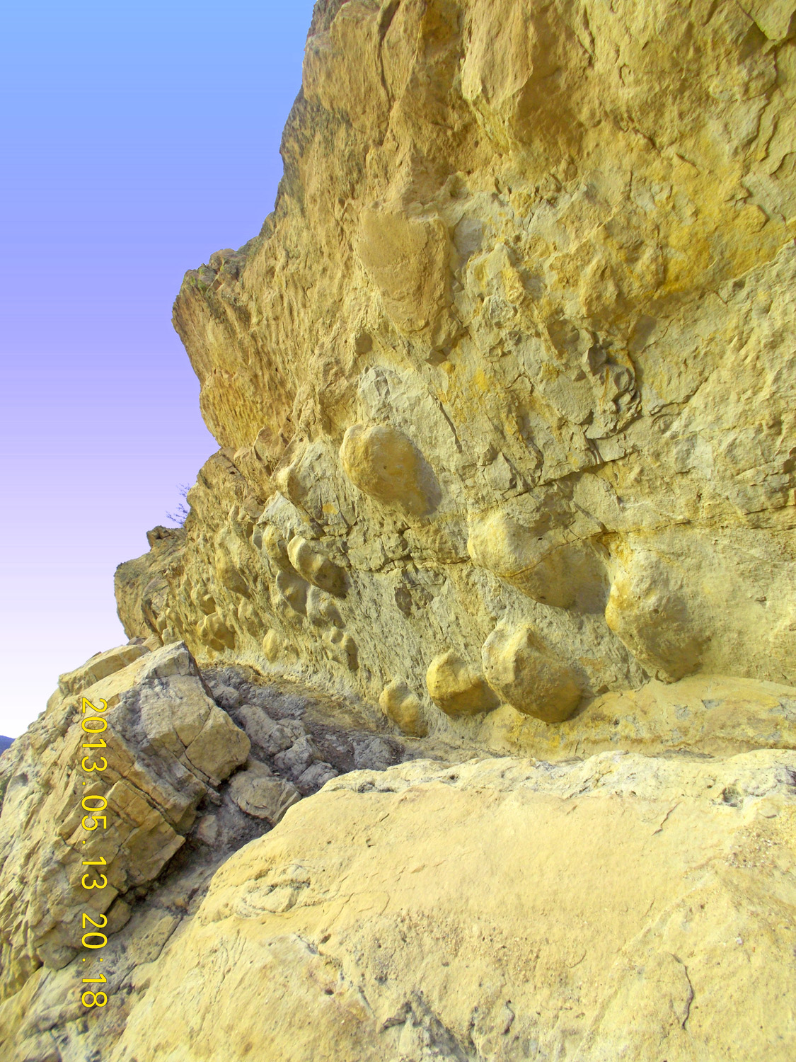
Close up of dinosaur tracks
May 13 2013 - 7:19 pm
May 13 2013 - 7:19 pm
62 / 65 (Skyline Drive)
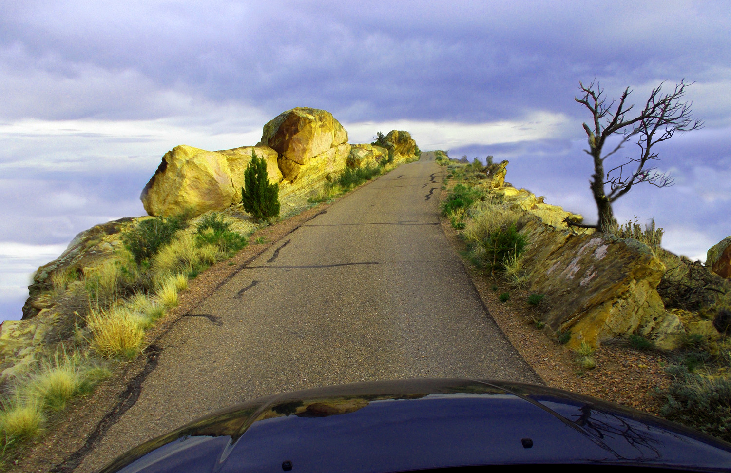
Your wrong, Señor Columbus, there is an end of the world
May 13 2013 - 7:24 pm
May 13 2013 - 7:24 pm
63 / 65 (US 50)
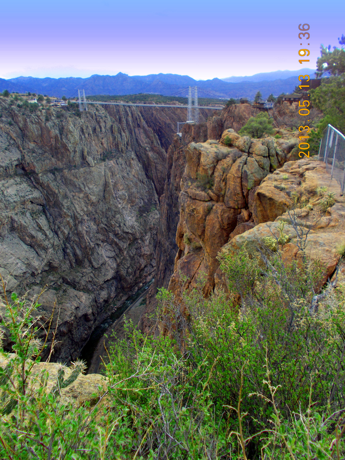
Royal Gorge cut by the Arkansas River through the northern Wet Mountains
May 13 2013 - 6:36 pm
May 13 2013 - 6:36 pm
64 / 65 (CO 69)
Greenhorn Mountain at the south end of the Wet Mountains (often confused with Pikes Peak, the next snow-capped mountain north on I 25)
Nov 27 2020 - 10:46 am
Nov 27 2020 - 10:46 am
65 / 65 (CO 12)
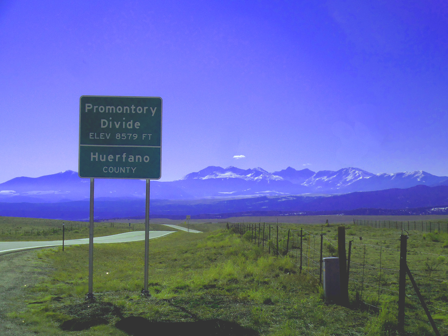
Spanish Peaks southernmost 'Front Ranges' in Colorado
Nov 27 2020 - 11:15 am
Nov 27 2020 - 11:15 am