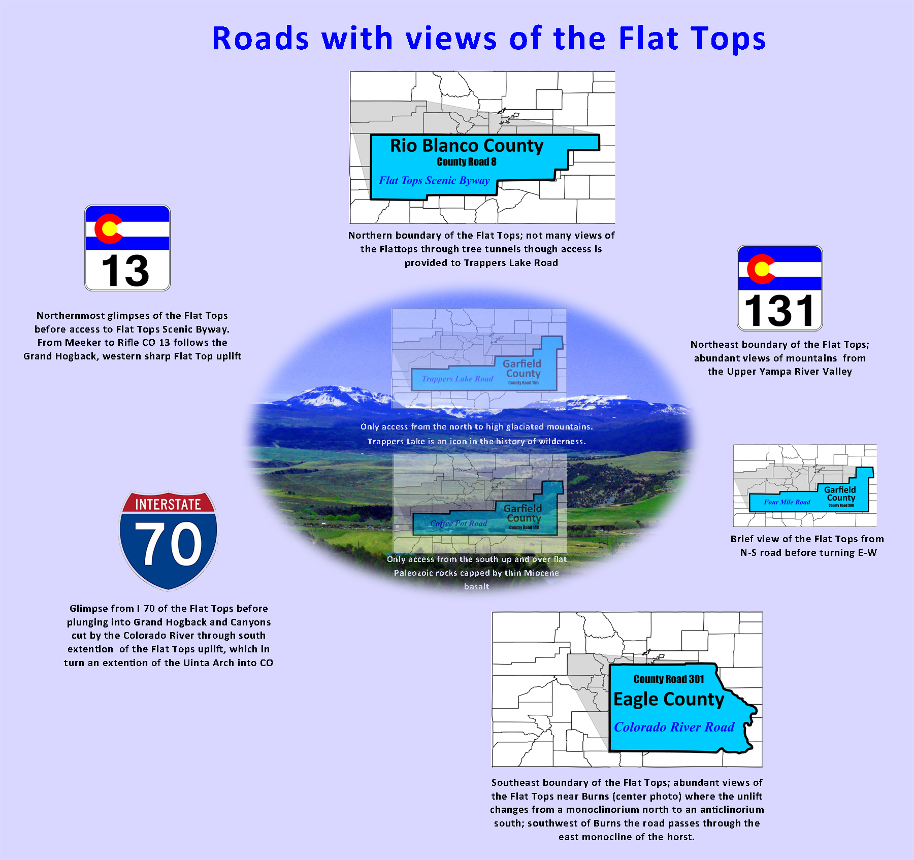
Roads with Flat Top views
Mountain Index click green ovals to jump ahead or behind user-controlled cycle: choose an automated cycle 2 seconds 5 seconds 10 seconds 30 seconds 60 seconds
❮
❯

1 / 47 (Photoshop)
2 / 47 (CO 13)
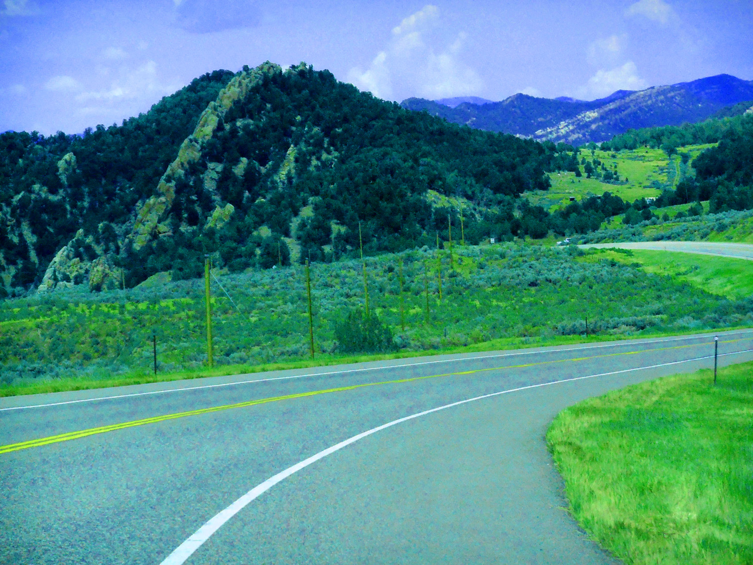
Grand Hogback western uplift of the Flattops curving east north of Meeker
Jul 12 2017 - 1:24 pm
Jul 12 2017 - 1:24 pm
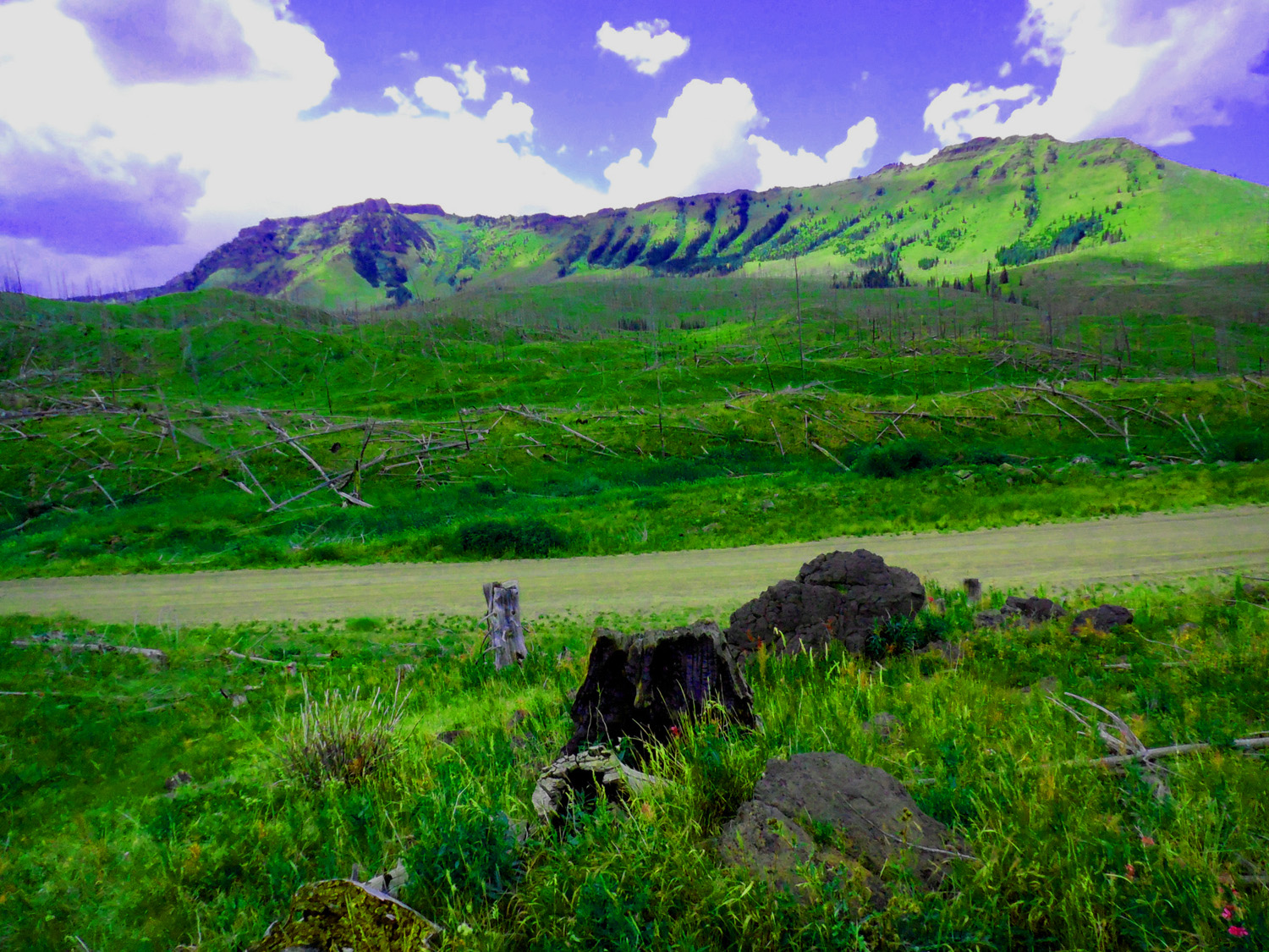
3 / 47 (CO 13)
Grand Hogback composed of Mesa Verde Sandstone
May 20 2020 - 6:21 pm
May 20 2020 - 6:21 pm
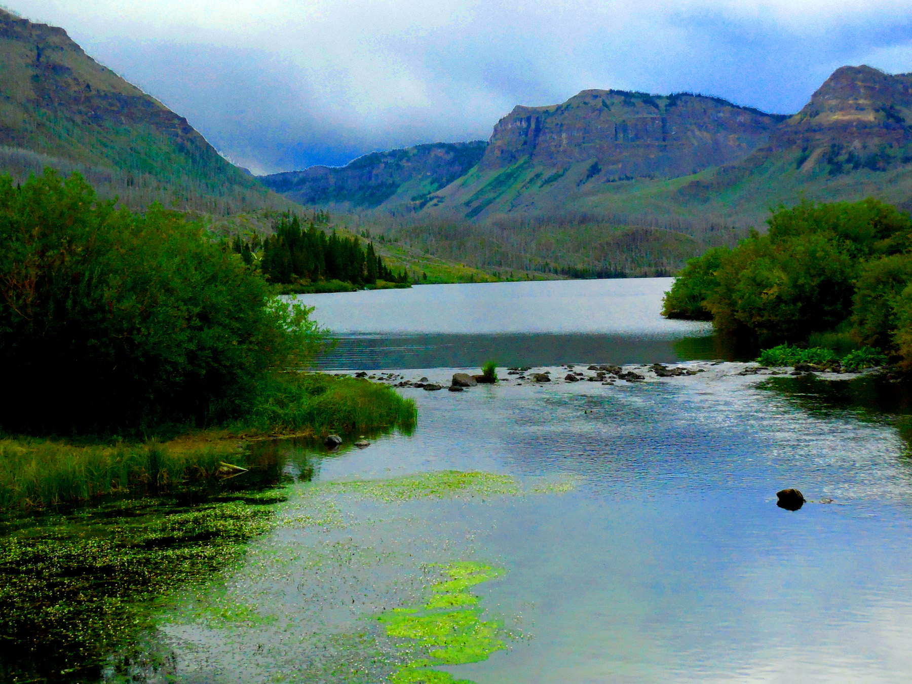
4 / 47 (CO 13)
Here almost vertical
May 13 2017 - 2:51 pm
May 13 2017 - 2:51 pm
5 / 47 (CO 13)
Overlying Wasatch Formation tilted as well by the Grand Hogback
Jul 20 2017 - 12:42 pm
Jul 20 2017 - 12:42 pm
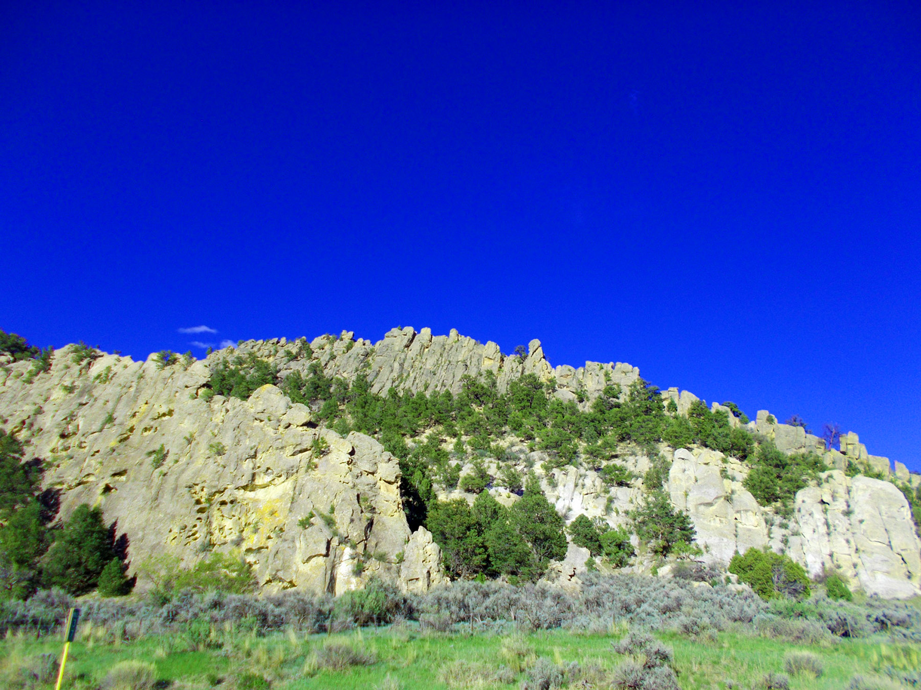
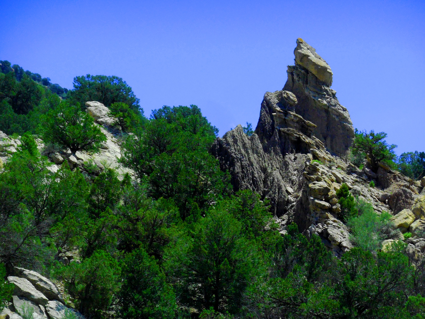
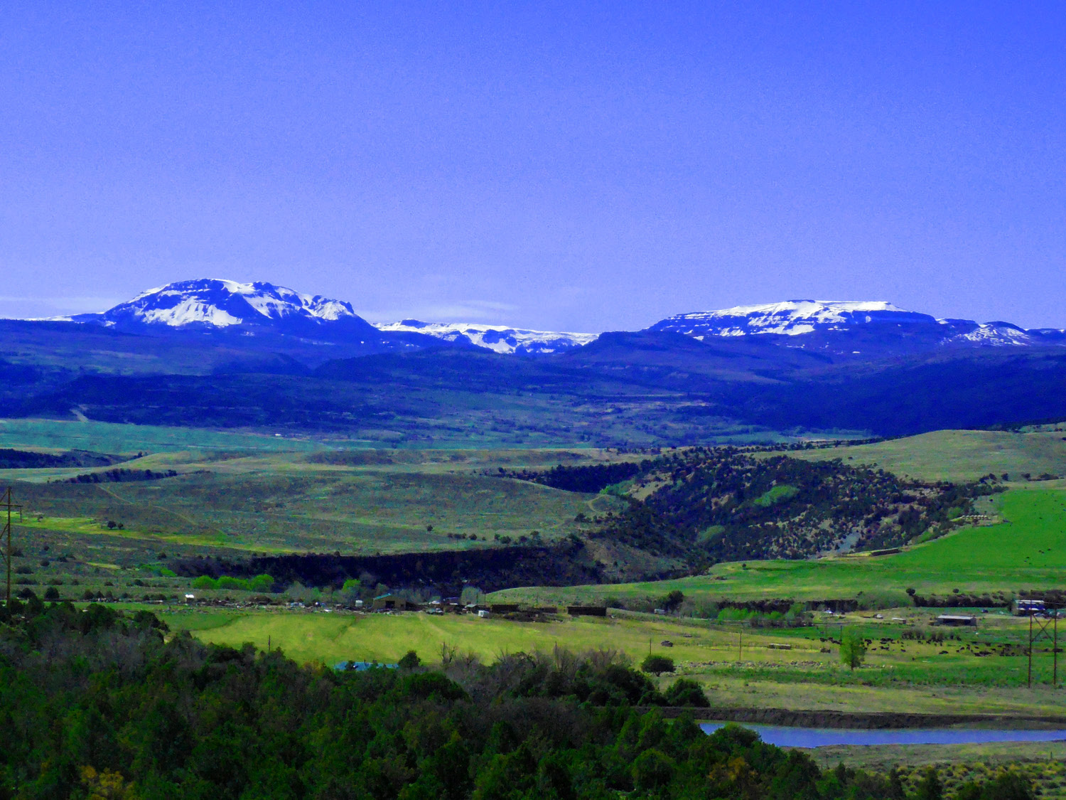
6 / 47 (CO 13)
Pennsylvanian sandstone rising along the plunging nose of The Flat Tops uplift (around the north curve of the Grand Hogback)
May 20 2020 - 5:43 pm
May 20 2020 - 5:43 pm
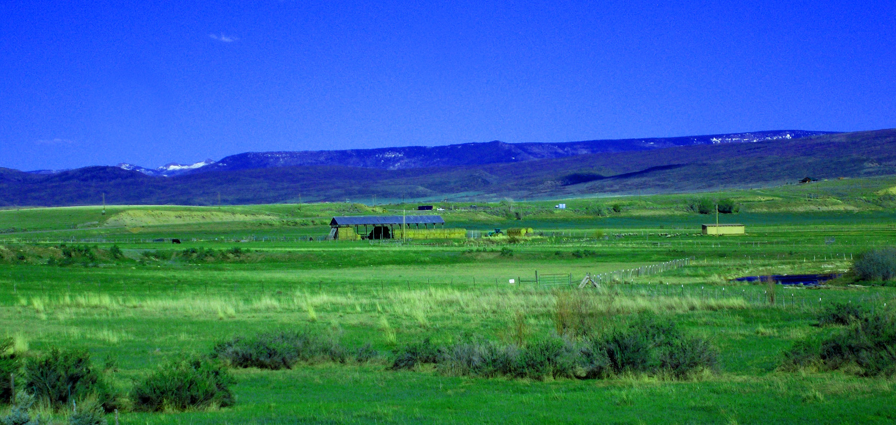
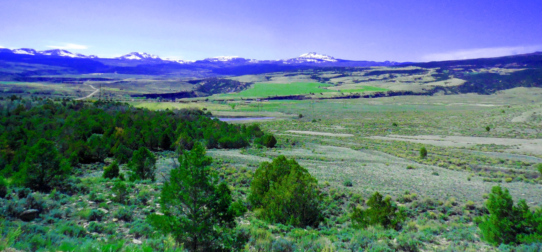
7 / 47 (Flat Tops Scenic Byway)
White River western drainage of The Flat Tops (any target of opportunity along Flat Tops Scenic Byway, not many views through the tree tunnels from this point on until deep in the Williams Fork Valley)
May 20 2020 - 5:41 pm
May 20 2020 - 5:41 pm
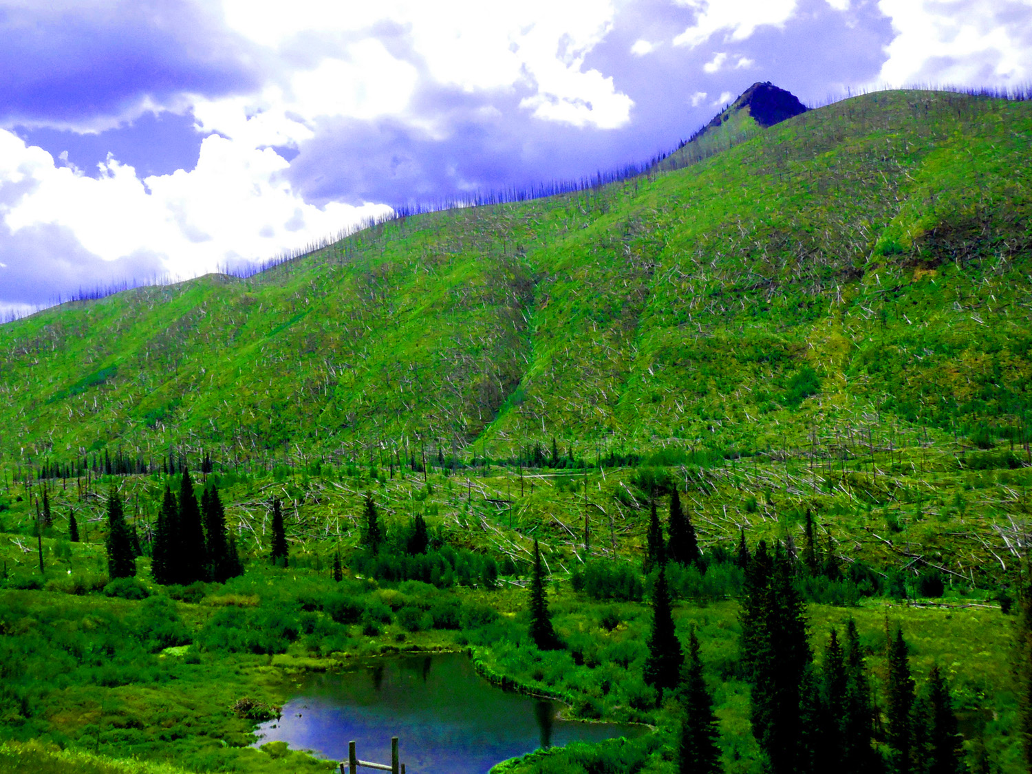
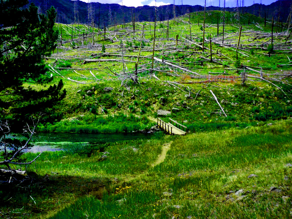
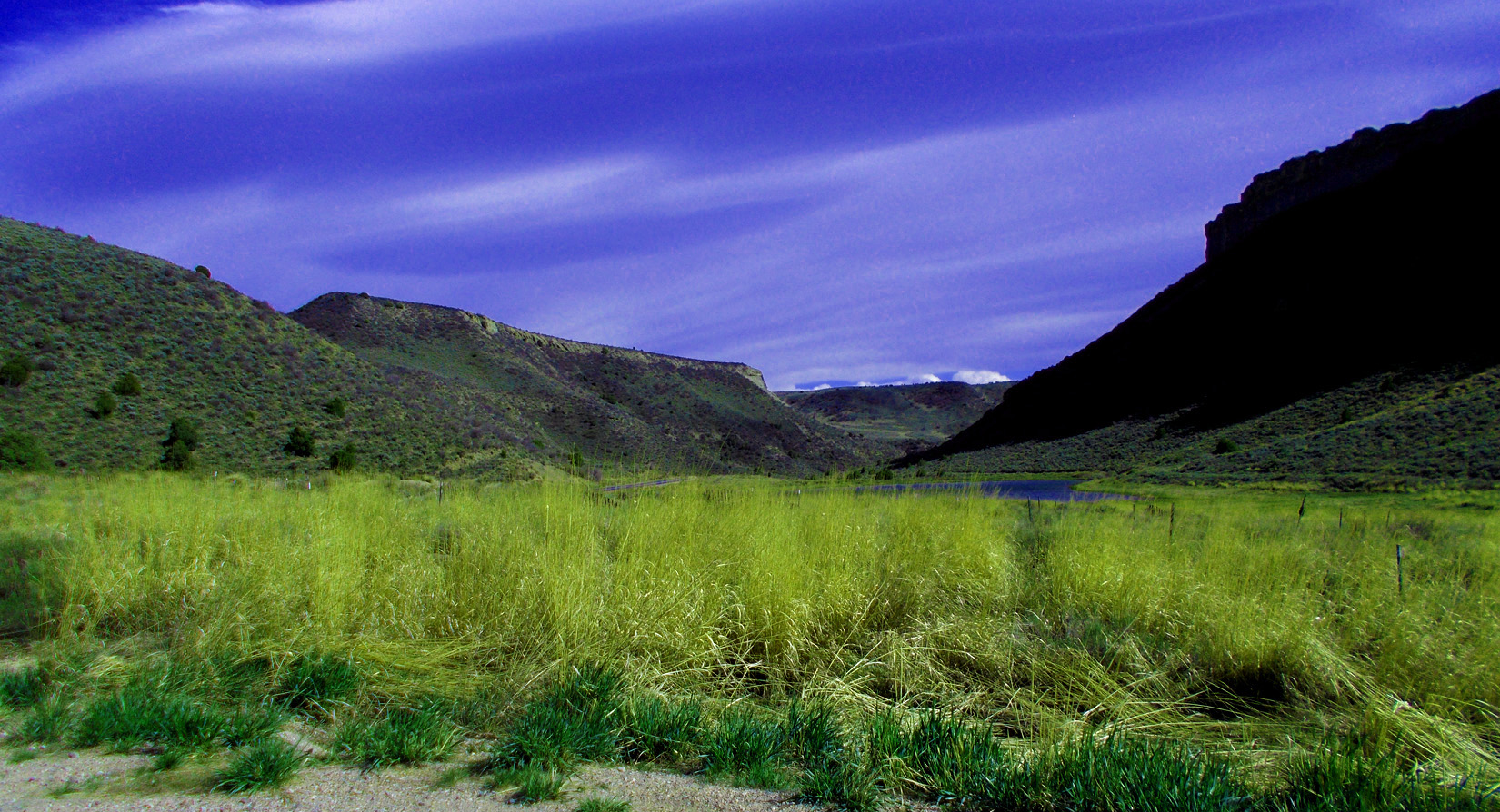
8 / 47 (Trappers Lake Road)
Riparian ecosystem after a forest fire
Aug 20 2017 - 12:35 pm
Aug 20 2017 - 12:35 pm
9 / 47 (Trappers Lake Road)
Big Fish Fire in August 2002 burned 17,000 acres around Trappers Lake (Partly drained beaver pond in foreground; lodge above water line)
Aug 20 2017 - 12:36 pm
Aug 20 2017 - 12:36 pm
10 / 47 (Trappers Lake Road)
Forest Service let the fire burn itself out, in accord with Wilderness Act mandates
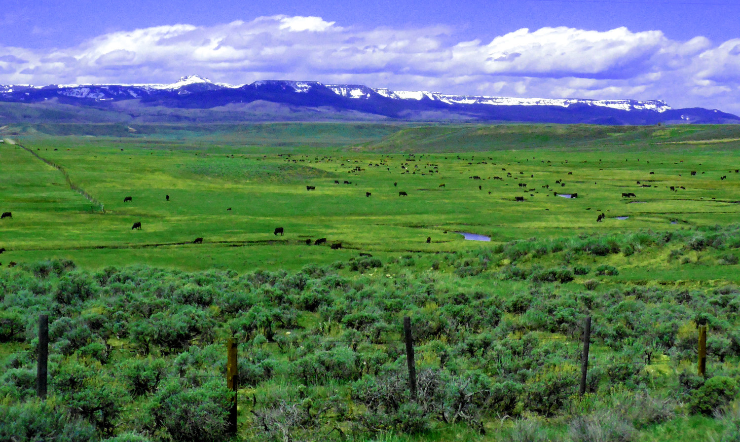
Aug 20 2017 - 2:10 pm
Aug 20 2017 - 2:10 pm
11 / 47 (Trappers Lake Road)
Recovery is underway apace with the Yellowstone Fire of 1988
Aug 20 2017 - 12:54 pm
Aug 20 2017 - 12:54 pm
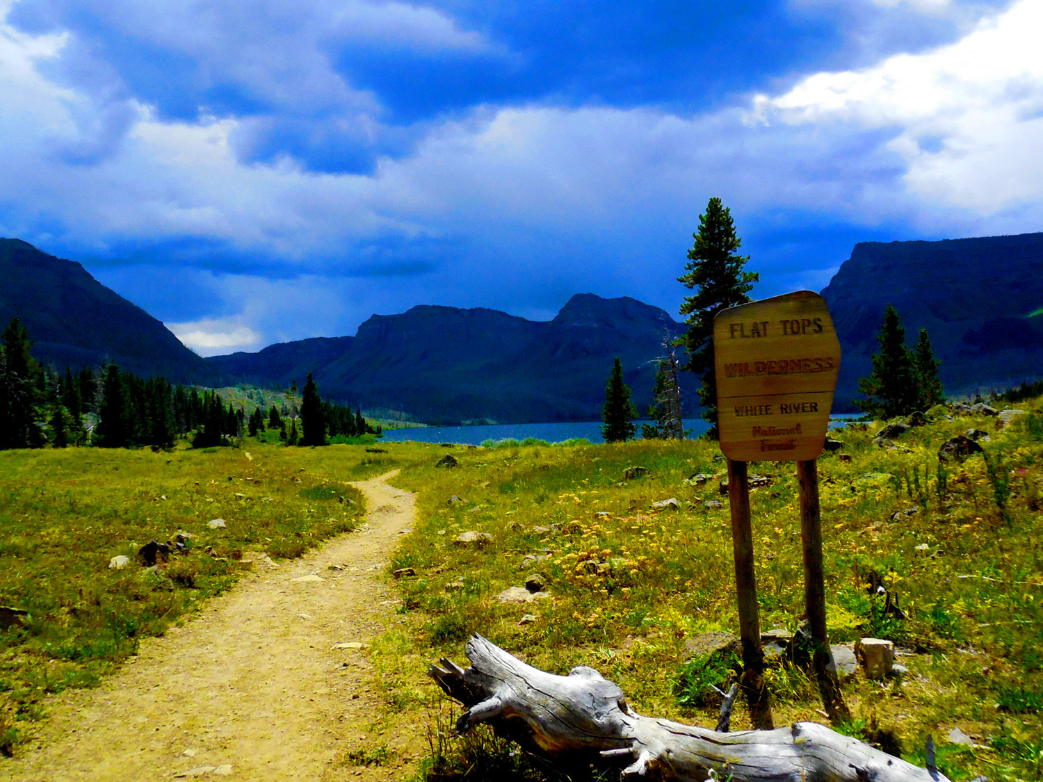
12 / 47 (Trappers Lake Road)
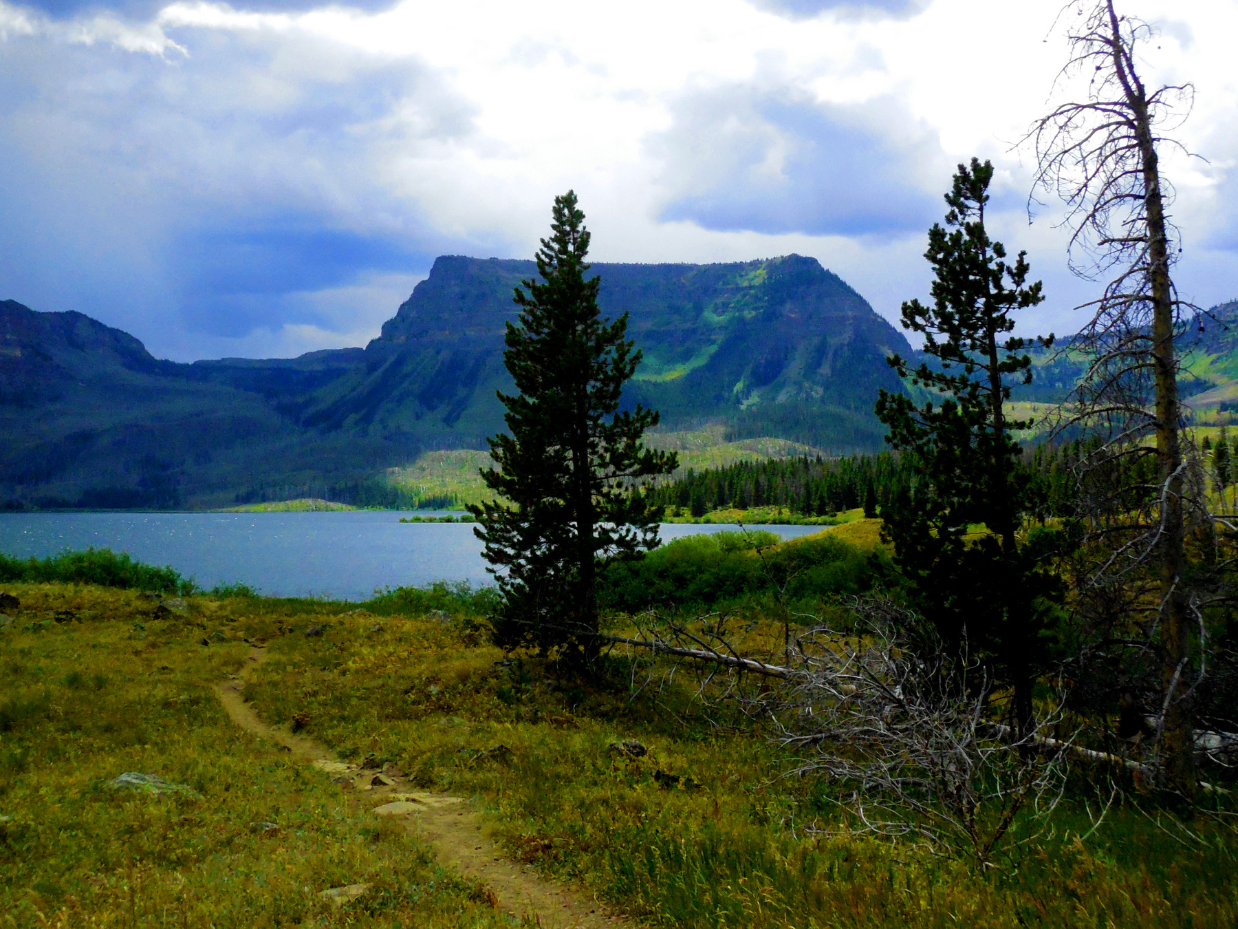
Trappers Lake is an icon of the Wilderness movement
Aug 20 2017 - 1:15 pm
Aug 20 2017 - 1:15 pm
13 / 47 (Trappers Lake Road)
Chinese Wall beyond Trappers Lake
Aug 20 2017 - 1:18 pm
Aug 20 2017 - 1:18 pm
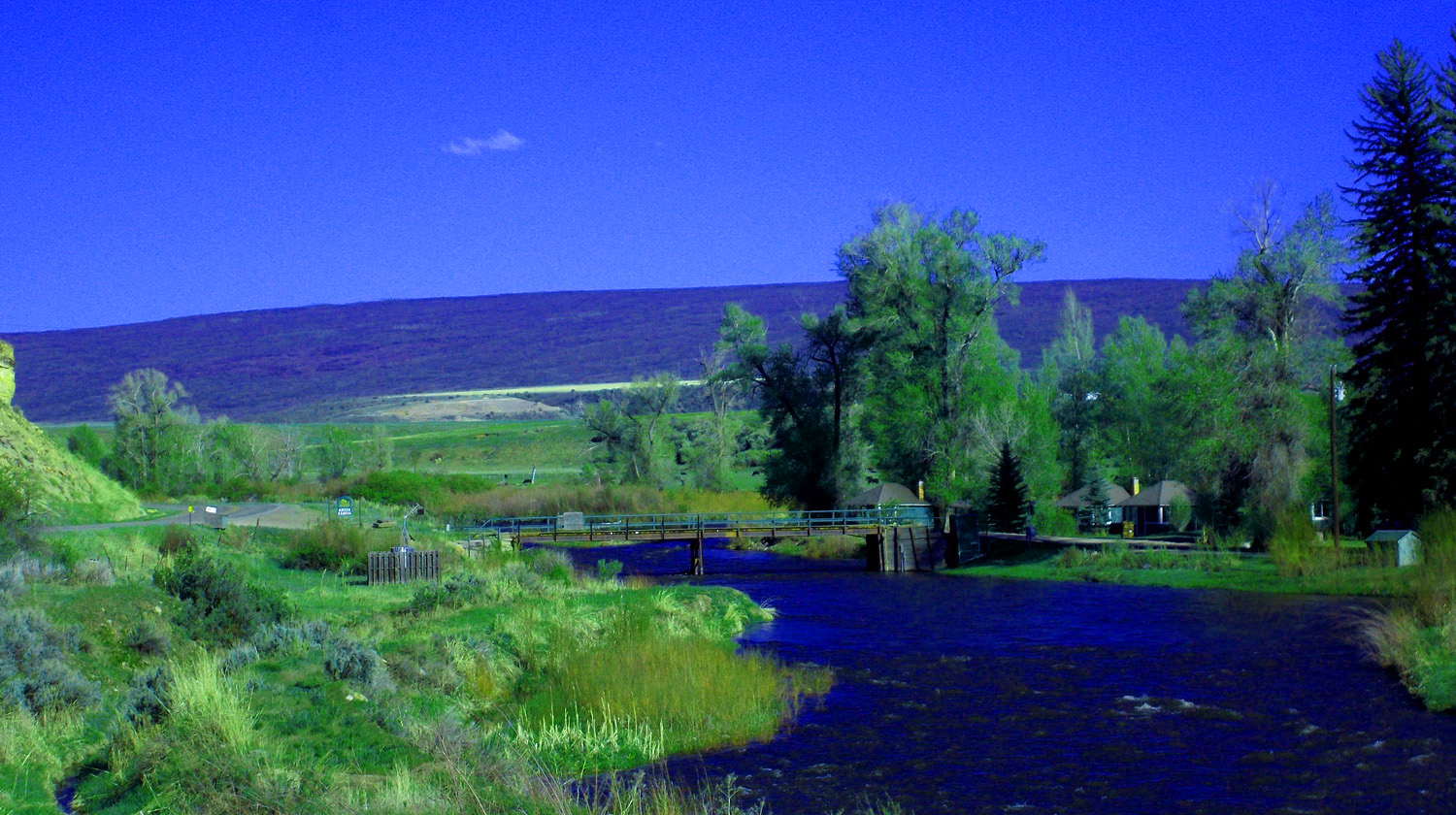
14 / 47 (Trappers Lake Road)
Bridge over North Fork White River outlet of Trappers Lake
Aug 20 2017 - 1:18 pm
Aug 20 2017 - 1:18 pm
15 / 47 (Trappers Lake Road)
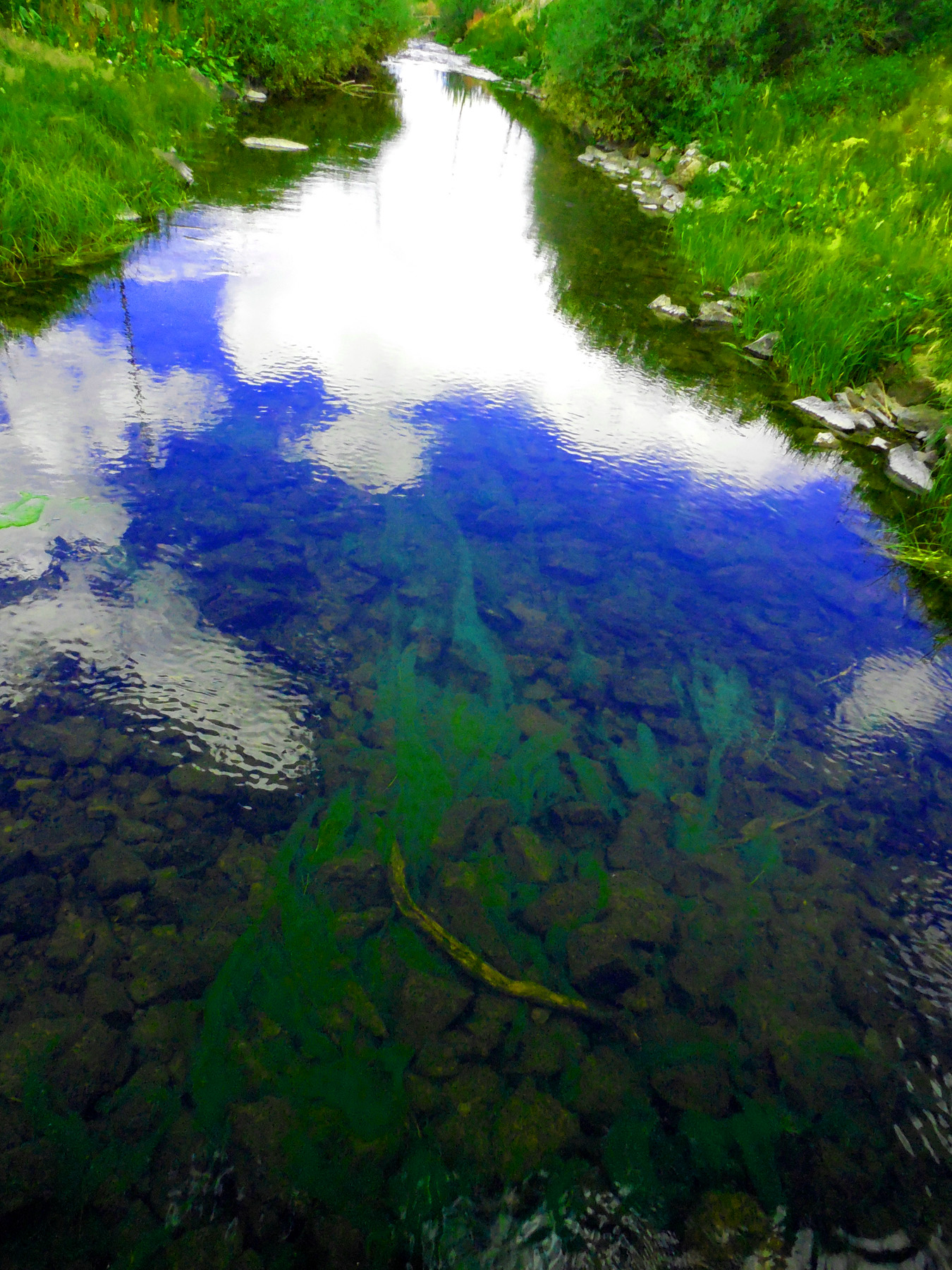
Stay Puff Marshmallow Man reflection? over algae fronds
Aug 20 2017 - 1:27 pm
Aug 20 2017 - 1:27 pm
16 / 47 (Trappers Lake Road)
Close up of algae fronds
Aug 20 2017 - 1:27 pm
Aug 20 2017 - 1:27 pm
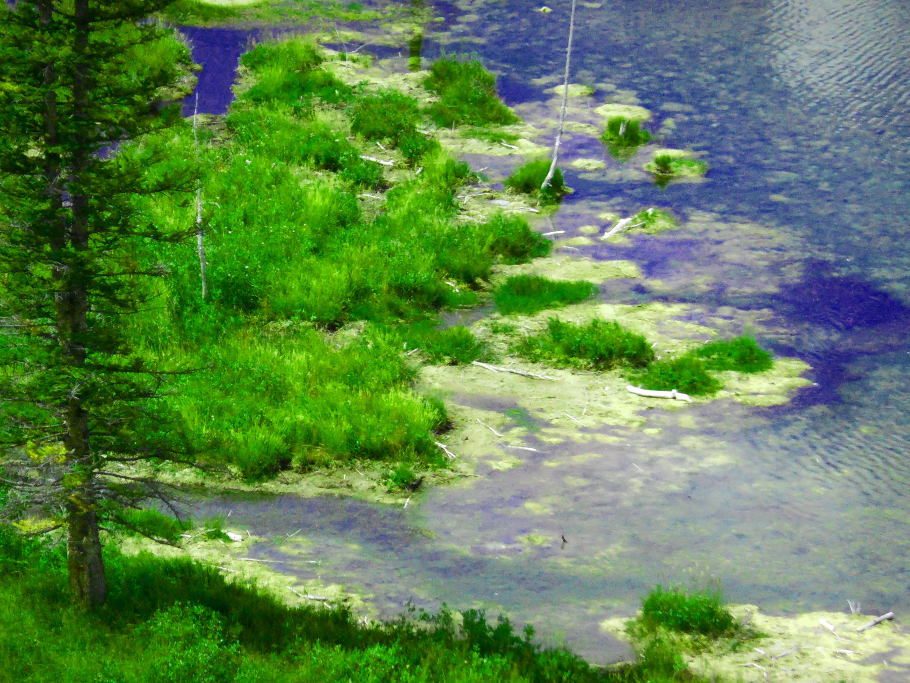
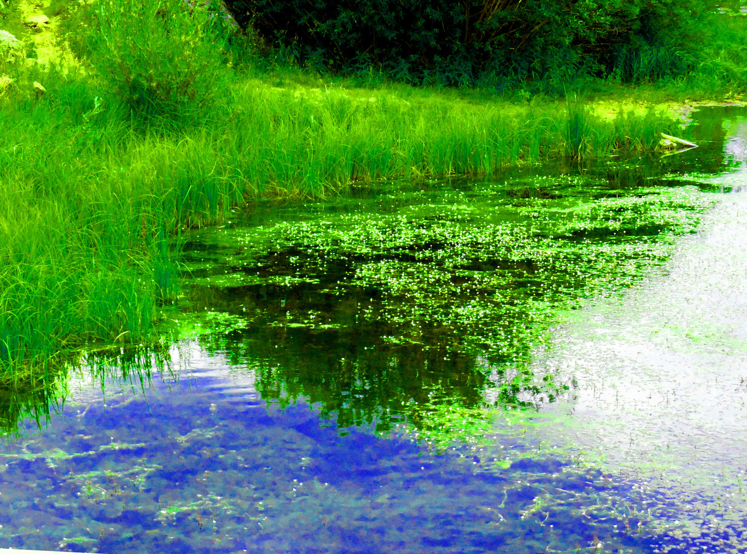
17 / 47 (Trappers Lake Road)
Upstream more beautiful algae
Aug 20 2017 - 1:28 pm
Aug 20 2017 - 1:28 pm
18 / 47 (Trappers Lake Road)
Chinese Wall are glacially carved cliffs along North Fork White River above Trappers Lake
Aug 20 2017 - 1:28 pm
Aug 20 2017 - 1:28 pm
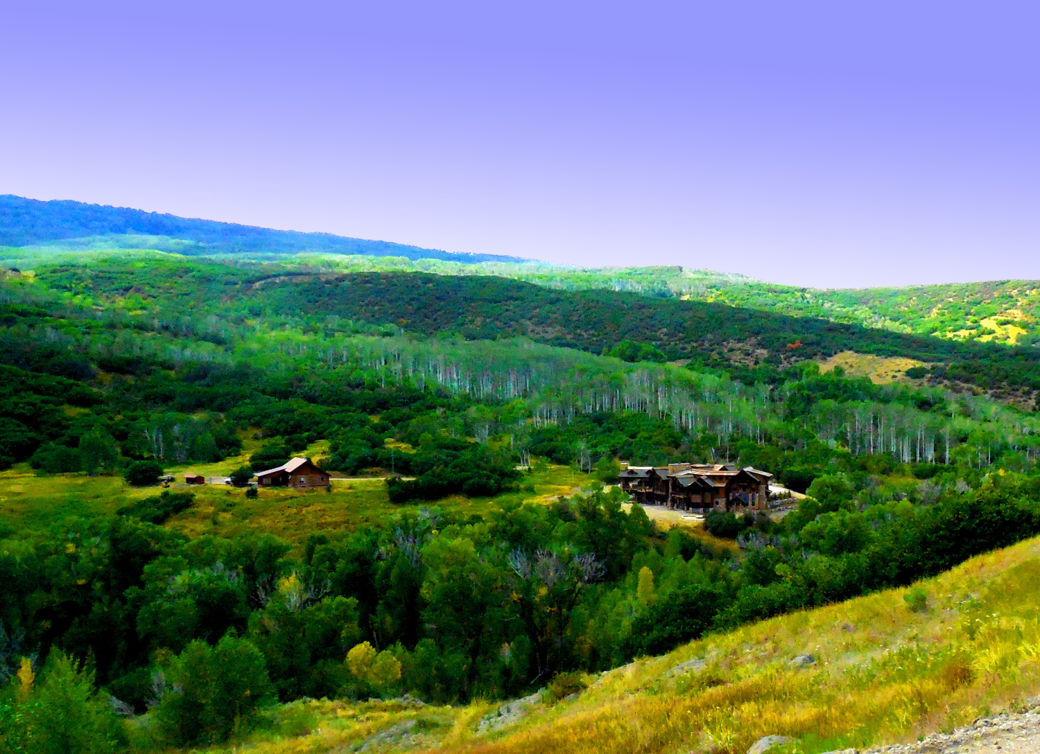
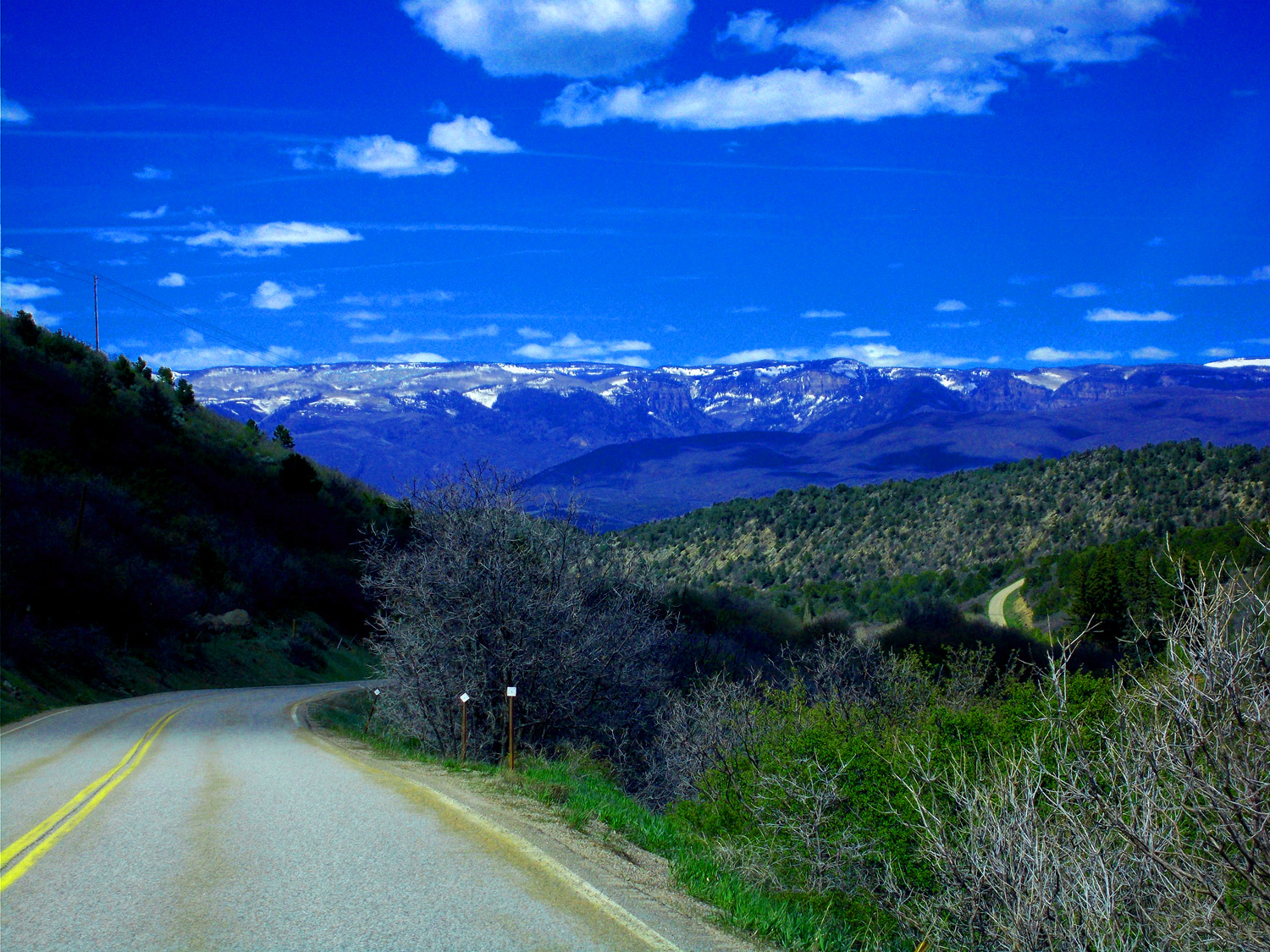
19 / 47 (Trappers Lake Road)
House near intersection Trappers Lake Road and Flat Tops Scenic Byway (more tree tunnels to a few miles beyond Ripple Creek Pass where I turned around)
Aug 20 2017 - 2:59 pm
Aug 20 2017 - 2:59 pm
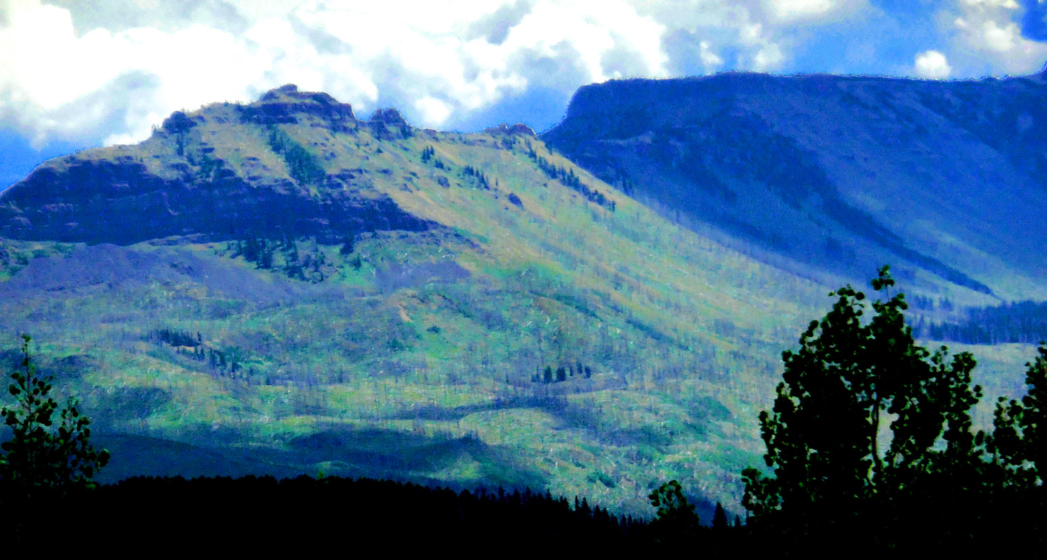
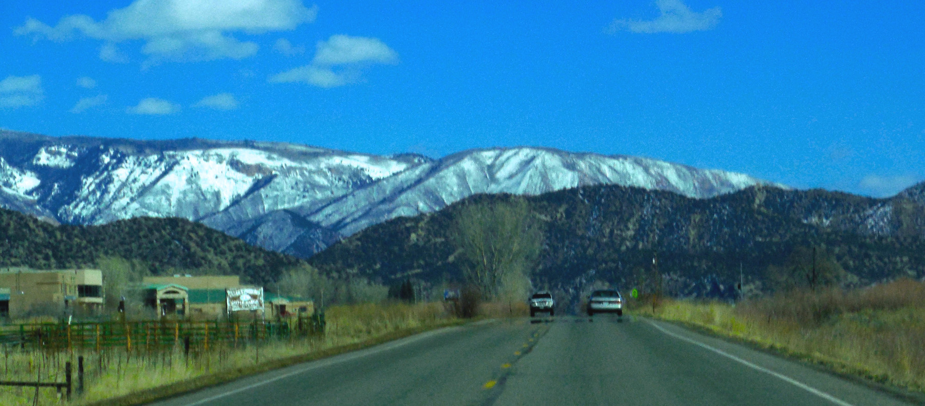
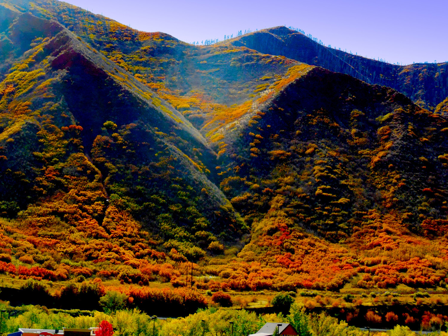
20 / 47 (I 70)
Flat Tops beyond the Grand Hogback
Feb 26 2017 - 2:08 pm
Feb 26 2017 - 2:08 pm
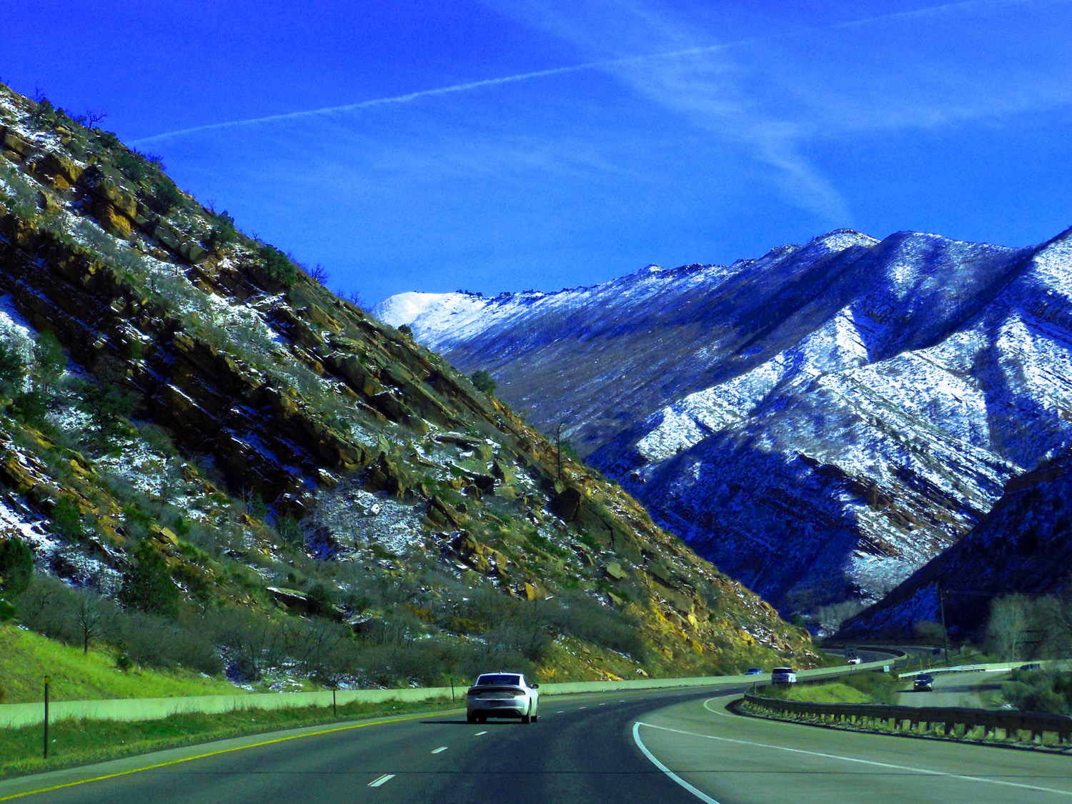
21 / 47 (I 70)
I 70 follows the Colorado River through southern extension of Grand Hogback (here Triassic) then Glenwood Canyon, pre-Cambrian center of The Flat Tops uplift
Apr 13 2017 - 12:55 pm
Apr 13 2017 - 12:55 pm
22 / 47 (I 70)
Close up of Triassic Red Beds (fossilized desert sand dunes)
Feb 26 2017 - 2:27 pm
Feb 26 2017 - 2:27 pm
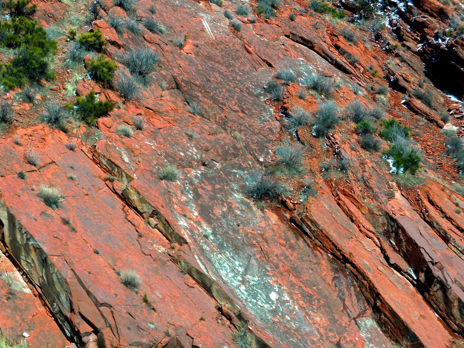
23 / 47 (I 70)
Special light on Mesa Verde sandstone slopes over Mancos Shale valley in the Grand Hogback (dip is away from the view)
Oct 08 2017 - 12:49 pm
Oct 08 2017 - 12:49 pm
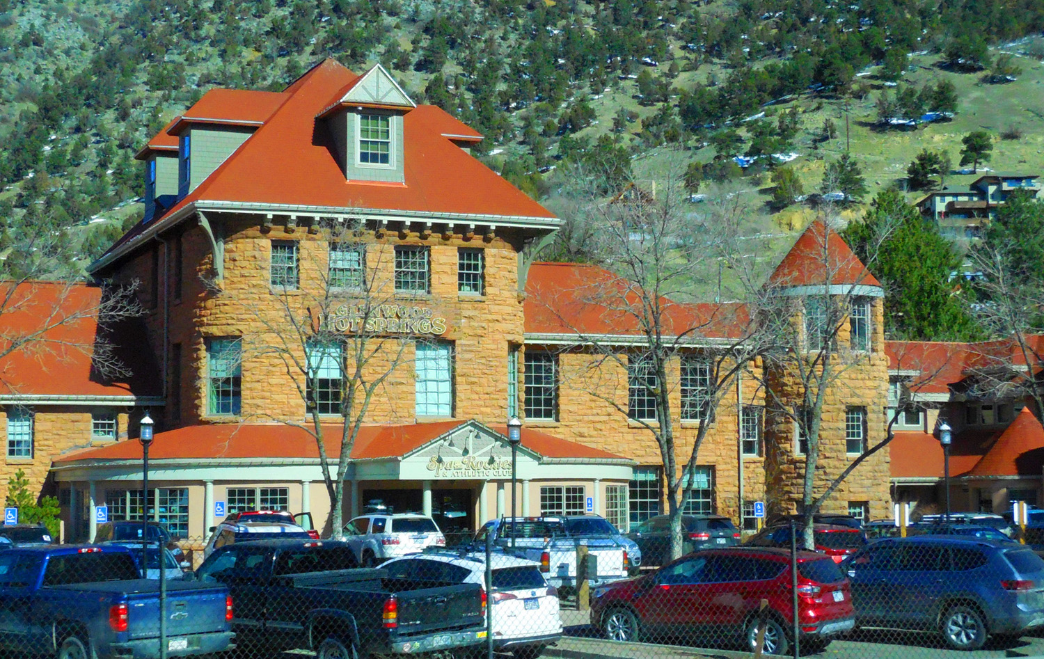
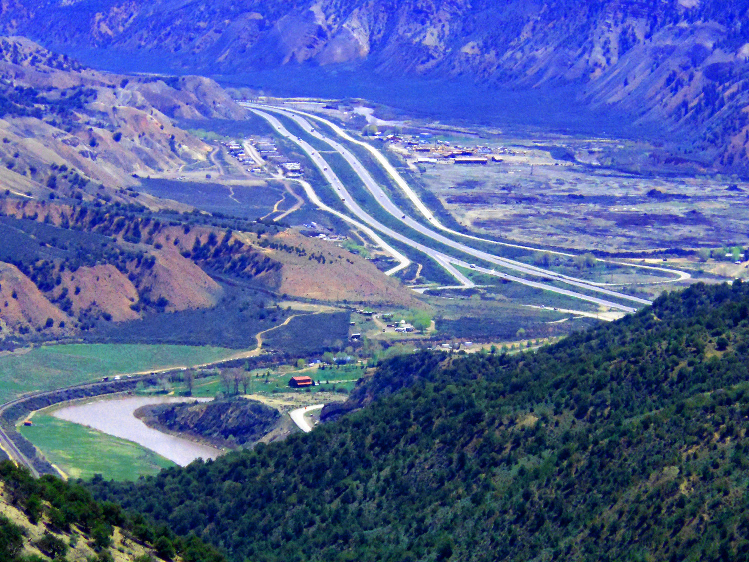
24 / 47 (I 70)
Glenwood Springs
Feb 28 2020 - 10:25 am
Feb 28 2020 - 10:25 am
25 / 47 (I 70)
Glenwood Canyon through pre-Cambrian and Paleozoic rock raised in the center of Flat Tops anticlinorium
Dec 31 2016 - 4:43 pm
Dec 31 2016 - 4:43 pm
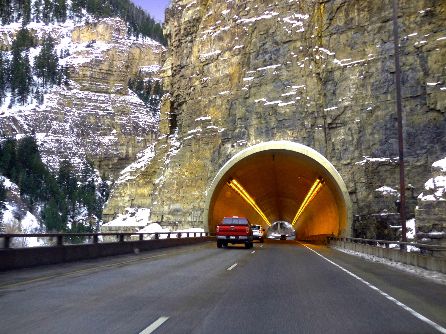
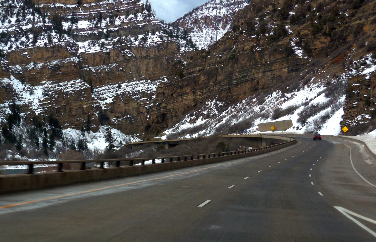
26 / 47 (I 70)
I 70 is an engineering marvel through Glen Canyon for its minimal environmental impact (given construction of Interstates)
Dec 31 2016 - 4:51 pm
Dec 31 2016 - 4:51 pm
27 / 47 (Coffee Pot Road)
I 70 along the Eagle River upstream from confluence with the Colorado River flowing to the left (from Coffee Pot Road)
May 15 2013 - 10:56 am
May 15 2013 - 10:56 am
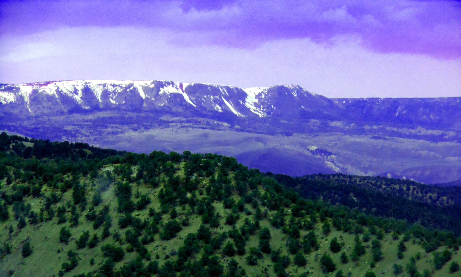
28 / 47 (Coffee Pot Road)
Eastern Flat Tops basalt over flat Paleozoic rocks (W Mountain, 11,909' highest spot on the rounded ridge)
May 15 2013 - 11:04 am
May 15 2013 - 11:04 am
29 / 47 (Coffee Pot Road)
Mt. Massive and Mt. Elbert (two highest peaks in Colorado) in the northern Sawatch Range
May 08 2020 - 1:03 pm
May 08 2020 - 1:03 pm
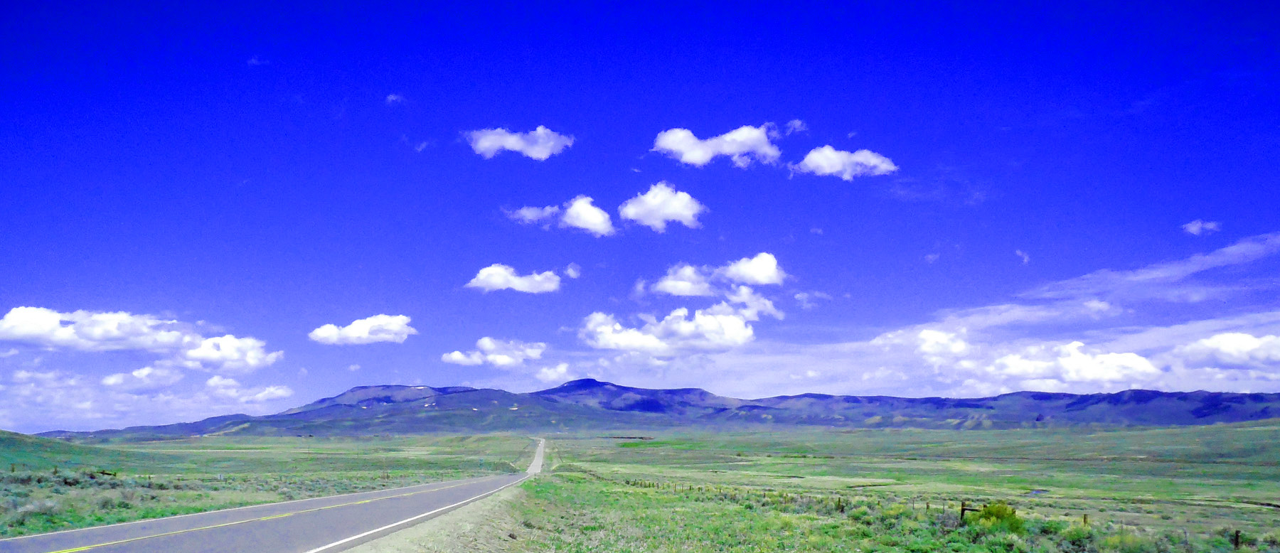
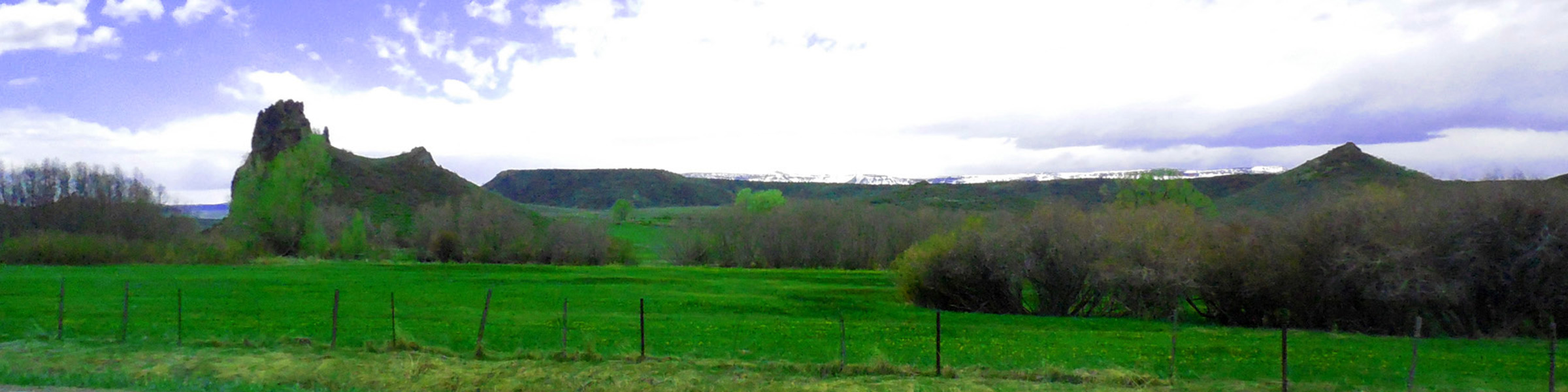
30 / 47 (Coffee Pot Road)
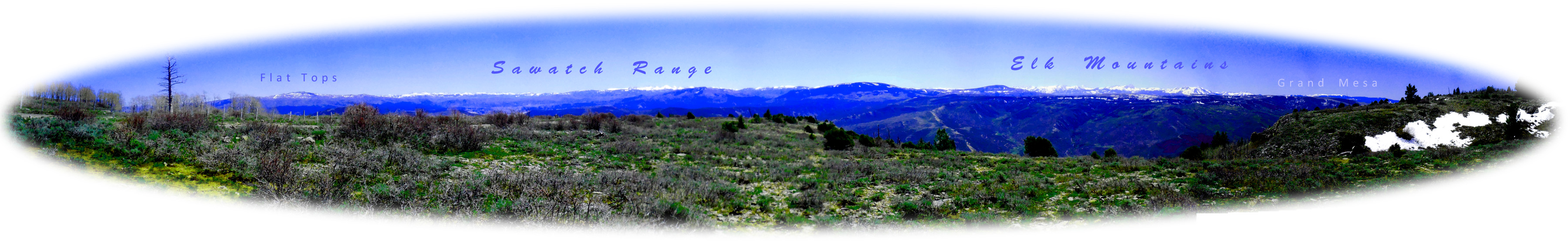
Panorama from Coffee Pot Road (views of adjacent mountain ranges are spectacular from Coffee Pot Road)
May 08 2020 - 11:12 am
May 08 2020 - 11:12 am
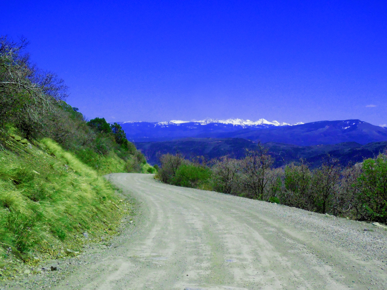
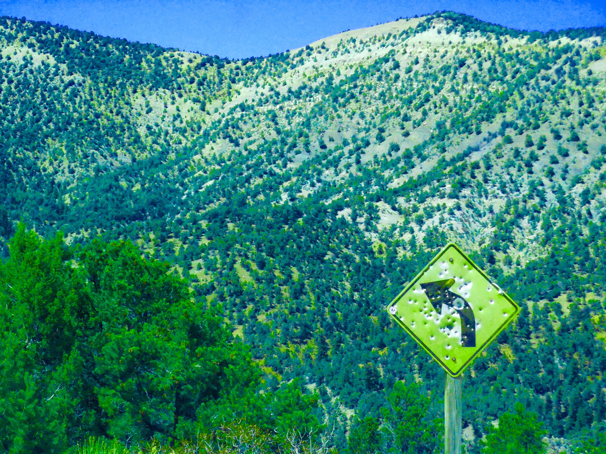
31 / 47 (Coffee Pot Road)
Sure sign of the west (curvy roads)
May 08 2020 - 1:24 pm
May 08 2020 - 1:24 pm
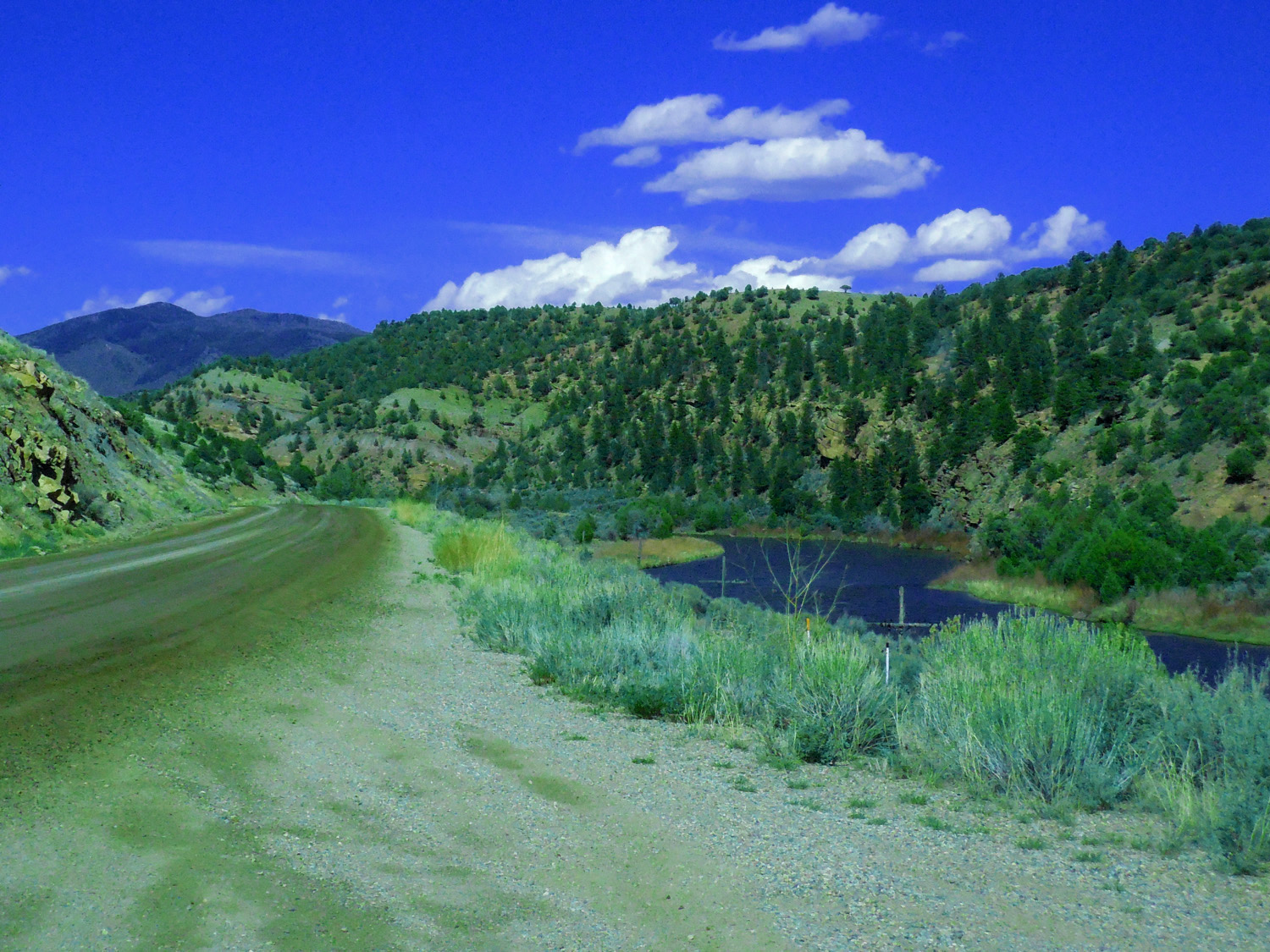
32 / 47 (Colorado River Road)
Colorado River Road
May 08 2020 - 3:00 pm
May 08 2020 - 3:00 pm
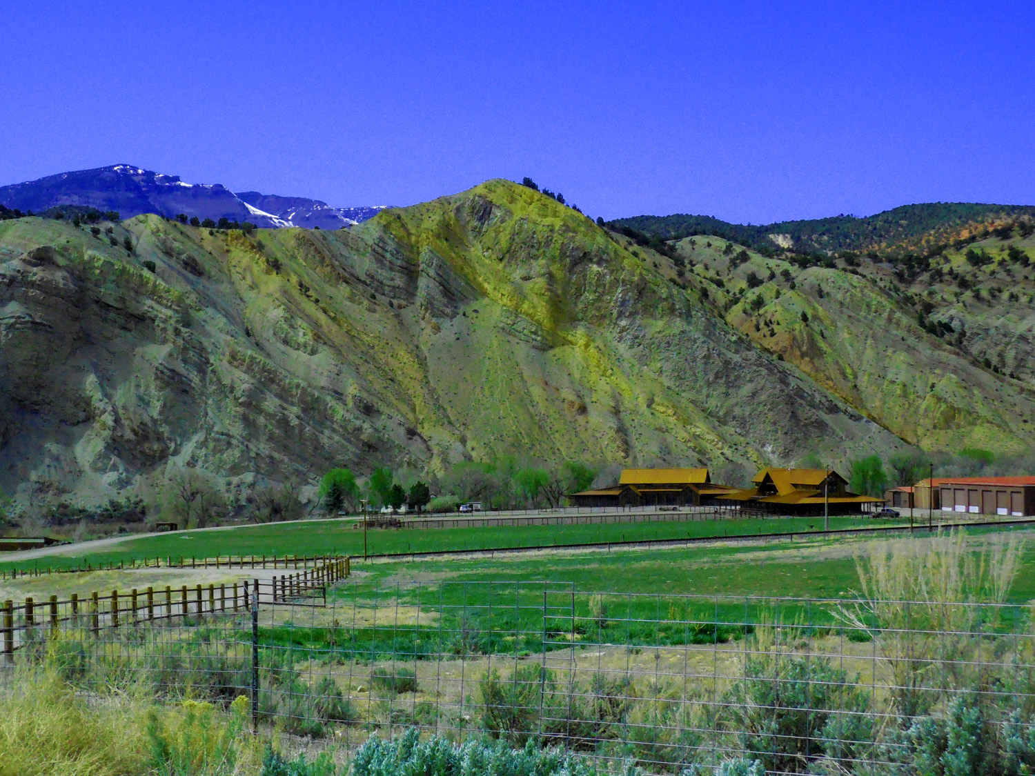
33 / 47 (Colorado River Road)
Permian rocks tilted toward the Flat Tops along eastern monocline (Grand Hogback on the west - flat rocks in between is a horst)
May 08 2020 - 2:10 pm
May 08 2020 - 2:10 pm
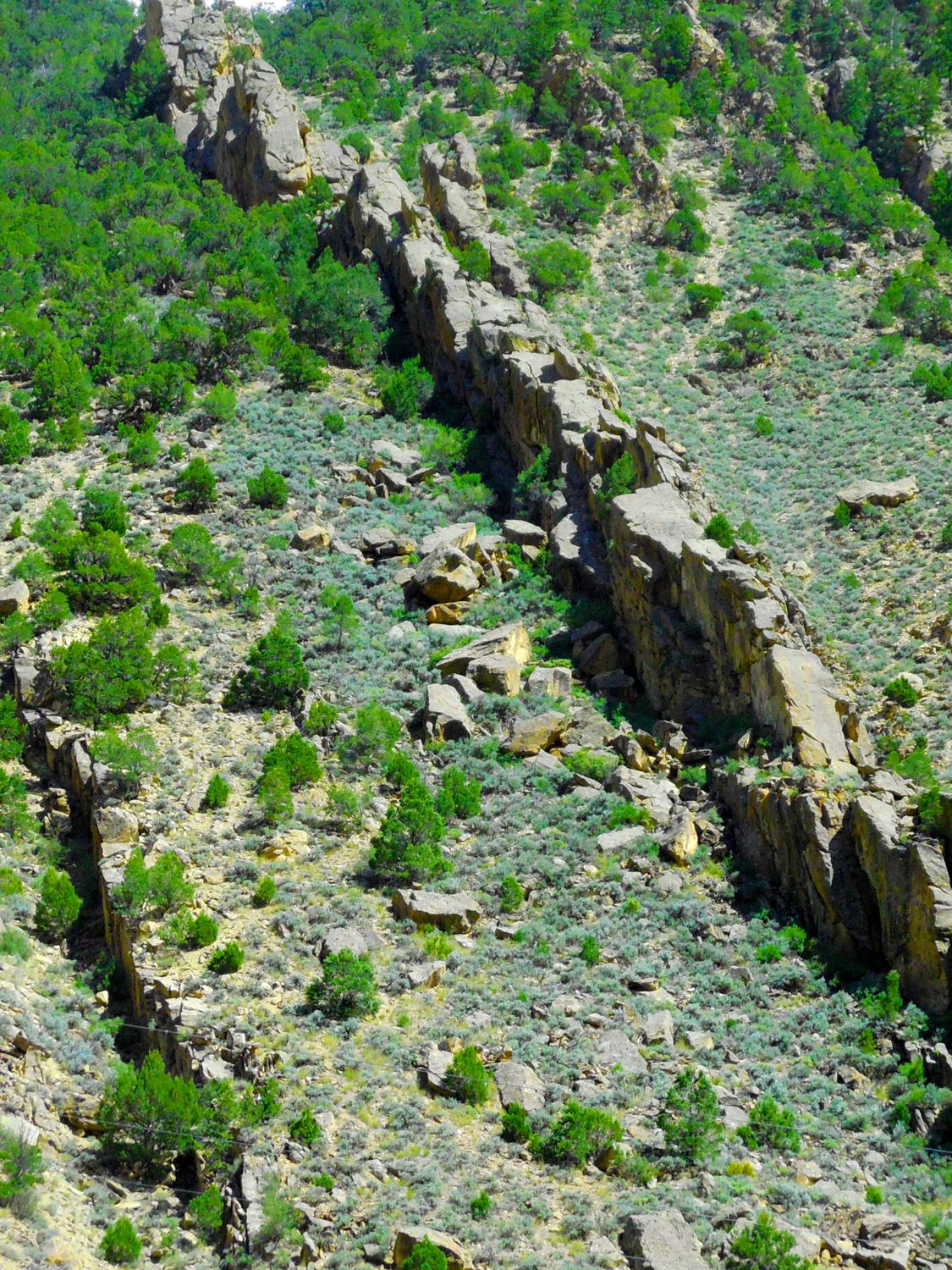
34 / 47 (Colorado River Road)
Monoclinal dip slope north of Burns (Burns is on a synclinal axis)
May 08 2020 - 2:42 pm
May 08 2020 - 2:42 pm
35 / 47 (Colorado River Road)
Hard Dakota Sandstone forms the dip slope reminiscent of the Uncompahgre Plateau
May 08 2020 - 2:42 pm
May 08 2020 - 2:42 pm
36 / 47 (Four Mile Road)
View of The Flat Tops from Four Mile Road off CO 82 at Cardiff showing thin Miocene basalts covering flat Paleozoic rocks
May 12 2019 - 2:41 pm
May 12 2019 - 2:41 pm
37 / 47 (CO 131)
The next 12 photos were taken from CO 131 along the eastern edge of the Flat Tops (photo shows Flat Tops basalt flows as far east as CO 131)
May 05 2020 - 3:55 pm
May 05 2020 - 3:55 pm
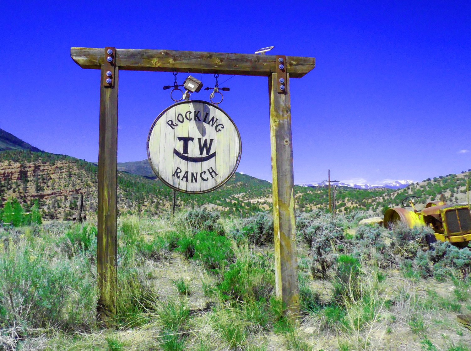
38 / 47 (CO 131)
Ranch Sign
May 05 2020 - 11:04 am
May 05 2020 - 11:04 am
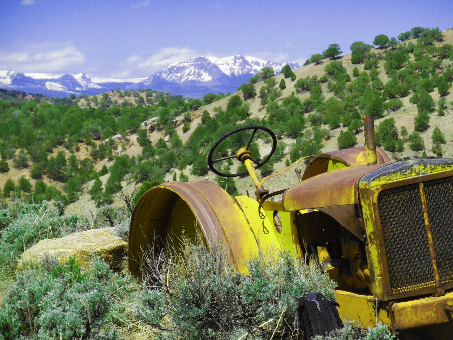
39 / 47 (CO 131)
Telephoto showing The Flat Tops in the background
May 05 2020 - 11:04 am
May 05 2020 - 11:04 am
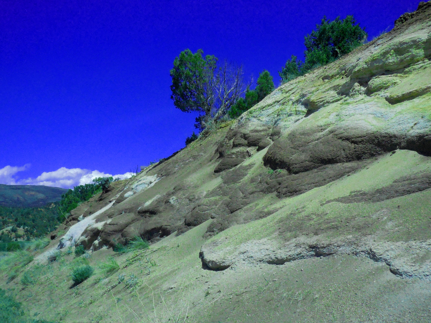
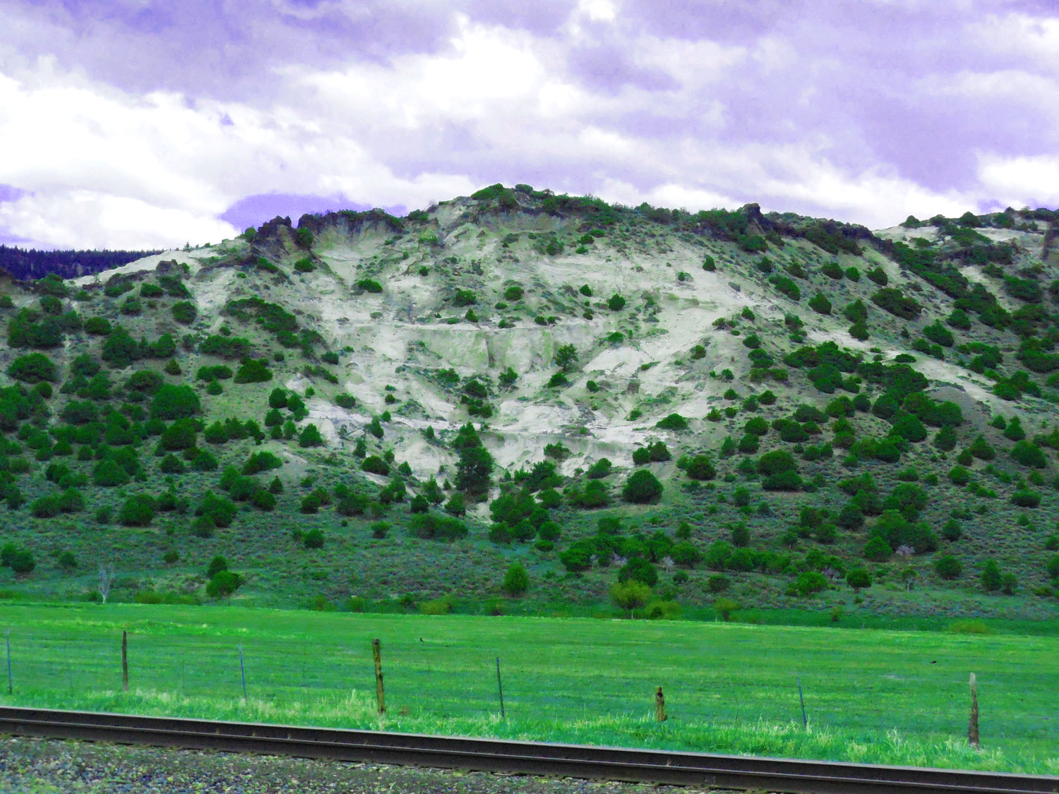
40 / 47 (CO 131)
Ash falls rarely exposed as along this road cut
May 05 2020 - 11:06 am
May 05 2020 - 11:06 am
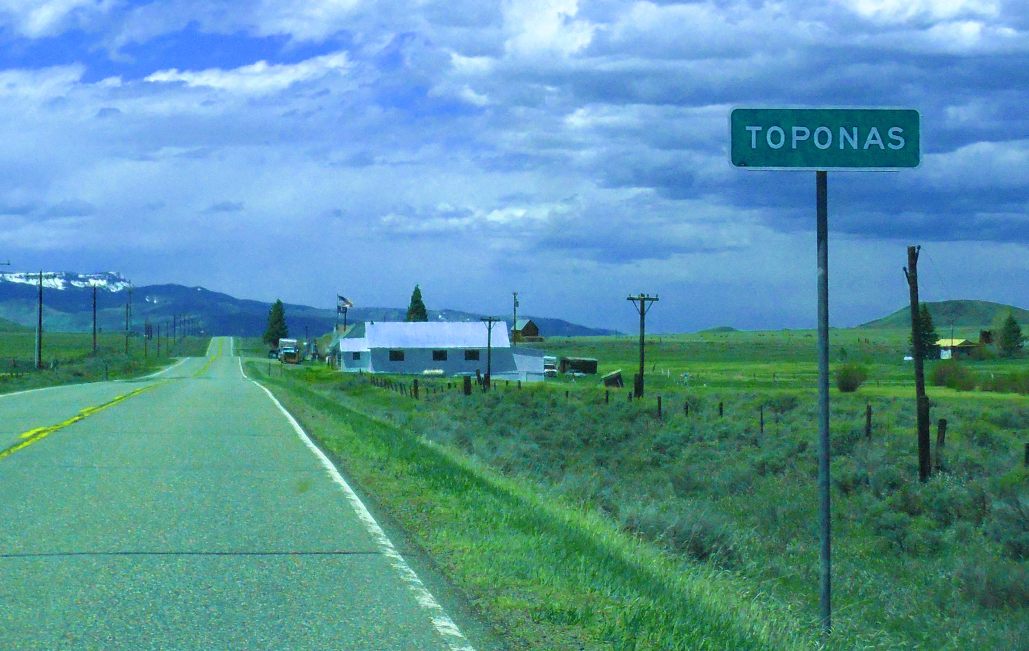
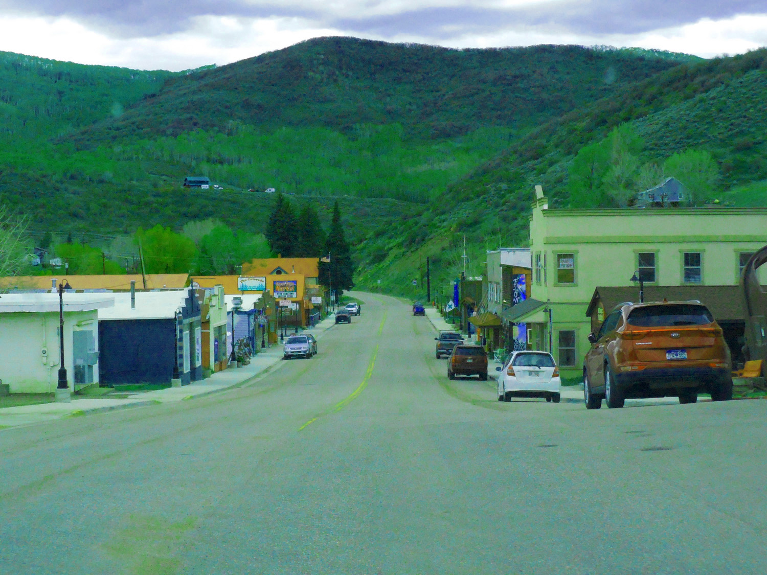
41 / 47 (CO 131)
Toponas at the head of the Yampa River Valley
May 05 2020 - 1:02 pm
May 05 2020 - 1:02 pm
42 / 47 (CO 131)
Appropriately named Flat Tops over the upper Yampa River (Orno Peak, 12,133', center-left)
May 05 2020 - 11:52 am
May 05 2020 - 11:52 am
43 / 47 (CO 131)
Lone Springs Butte (10,519') east of the Yampa River
May 05 2020 - 11:41 am
May 05 2020 - 11:41 am
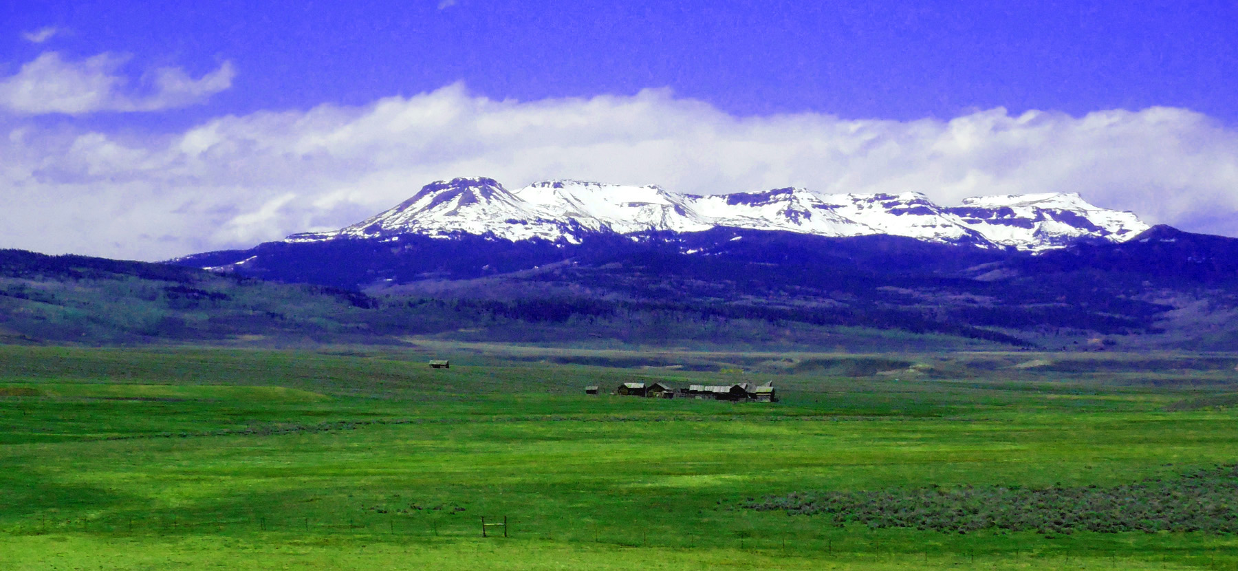
44 / 47 (CO 131)
Ranch in upper Yampa River Valley below Flat Top Mountain (12,361', center) highest peak in The Flat Tops Range
May 05 2020 - 11:53 am
May 05 2020 - 11:53 am
45 / 47 (CO 131)
Baked Mancos Shale by volcanic feeder dike
May 05 2020 - 1:23 pm
May 05 2020 - 1:23 pm
46 / 47 (CO 131)
Volcanic feeder dikes related to the Flat Tops basalts in the background
May 05 2020 - 8:24 pm
May 05 2020 - 8:24 pm
47 / 47 (CO 131)
End views of The Flap Tops at Oak Creek where the Yampa River enters Mesa Verde Formation; begin views of Park and Gore Ranges
May 05 2020 - 1:31 pm
May 05 2020 - 1:31 pm